Kangaroo Island
21 May - 4 June 2025
23 May 2025: Day 3
Kangaroo Island - Flinders Chase National Park
Introduction
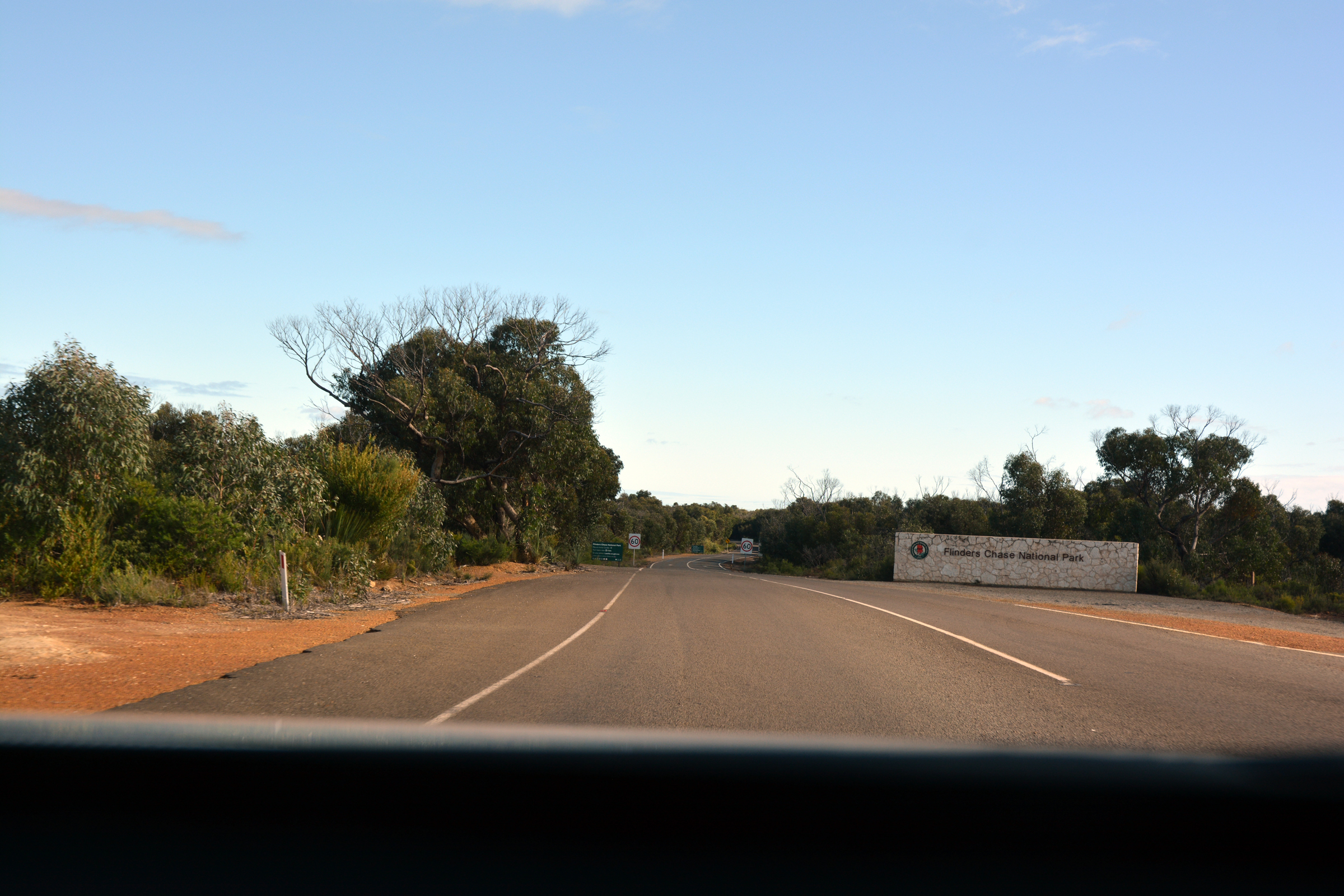
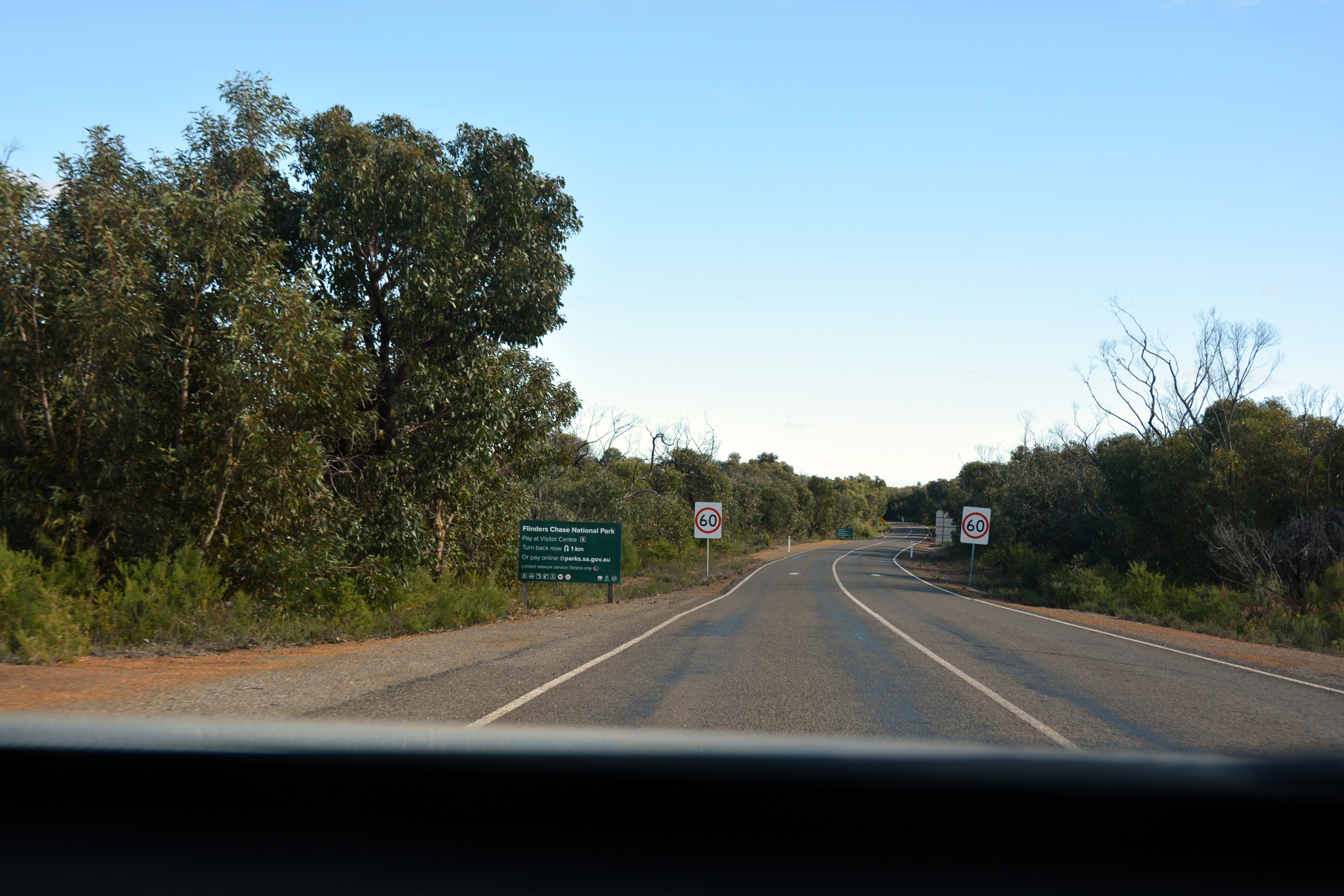
After a leisurely breakfast at the Ozone Hotel we organised ourselves for a day exploring the Flinders Chase National Park, at the western end of Kangaroo Island.
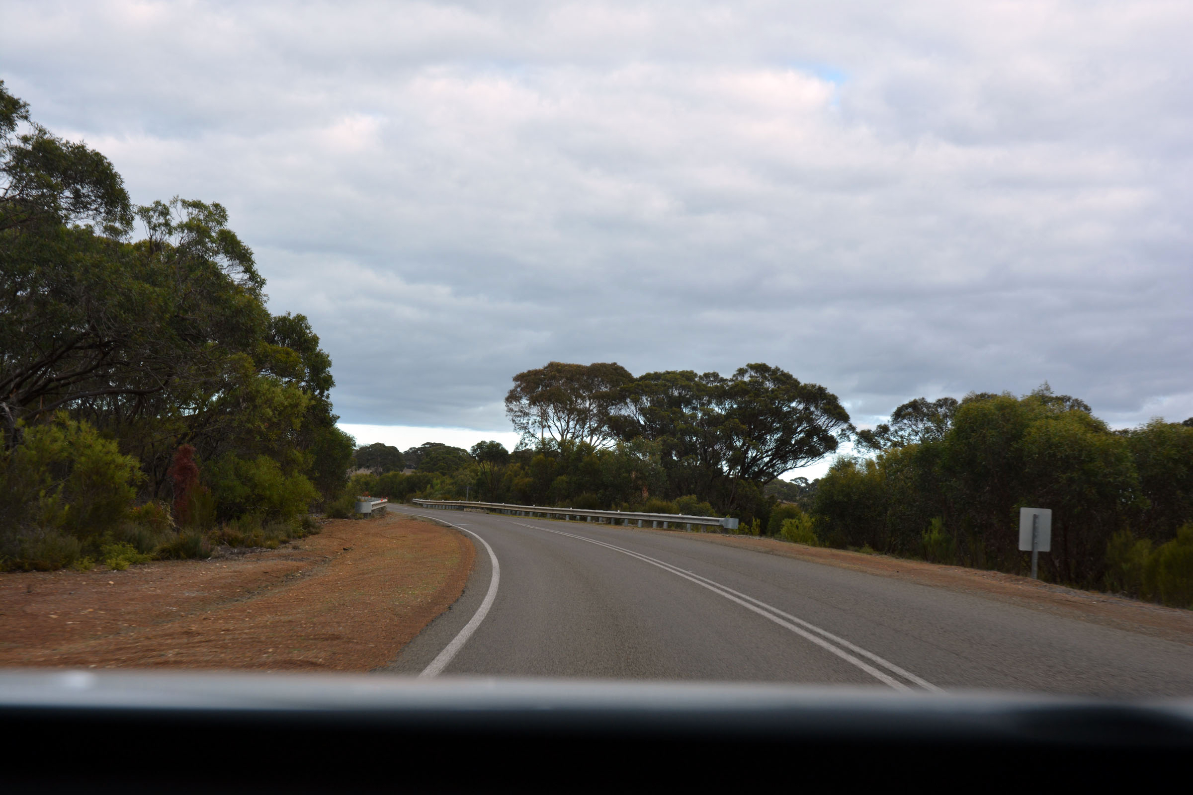
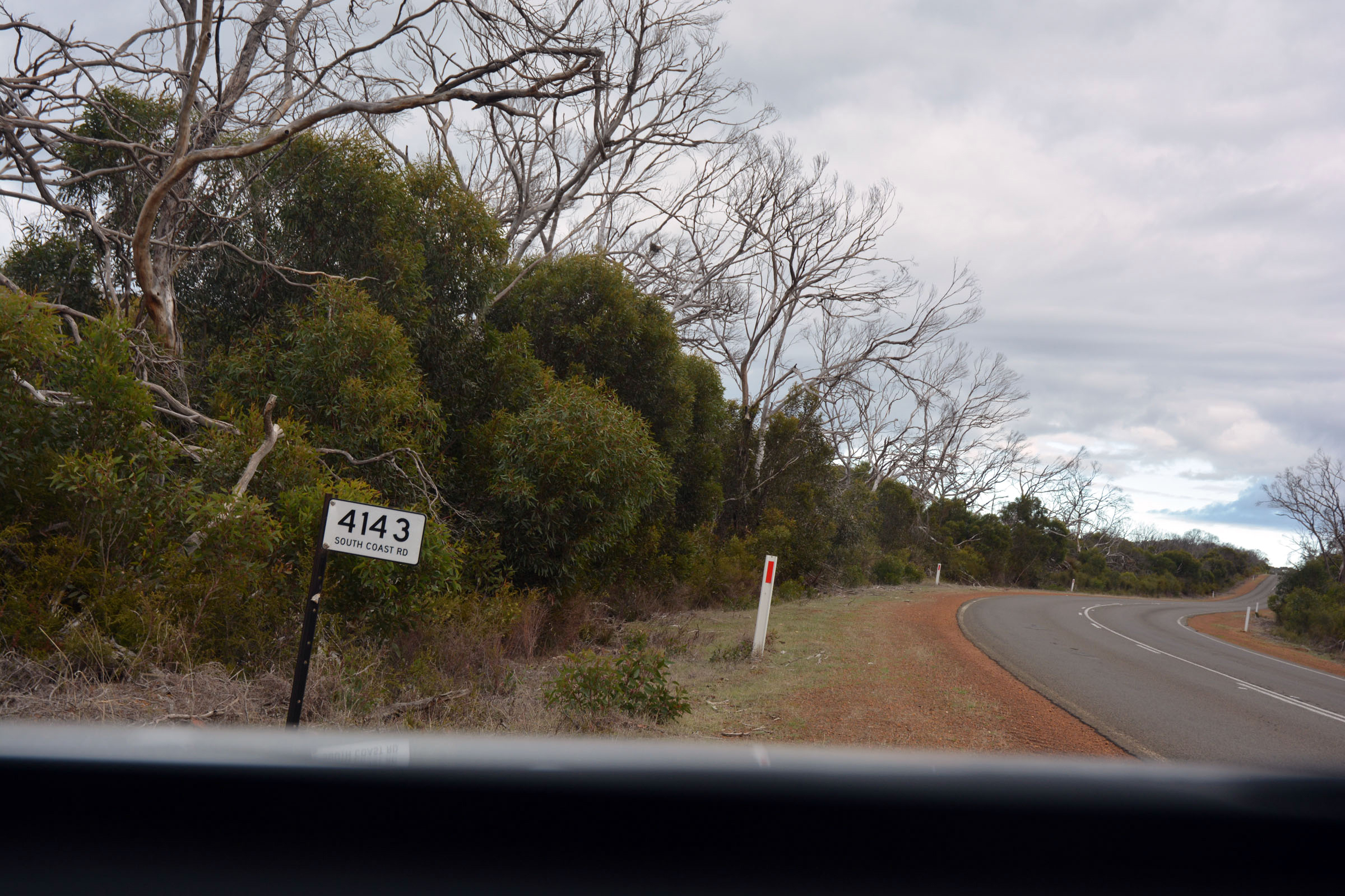
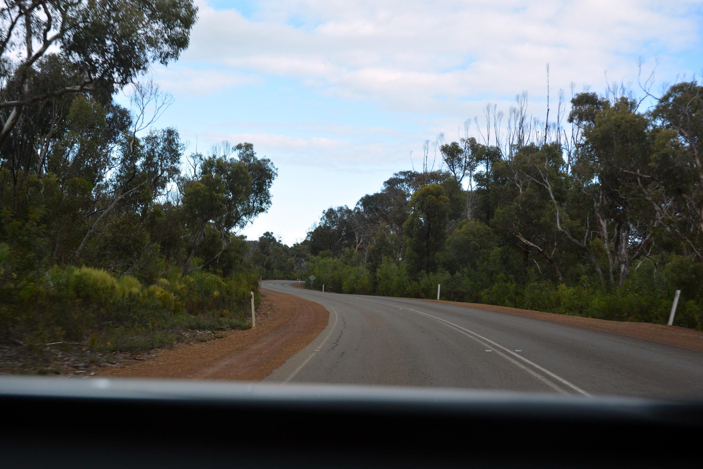
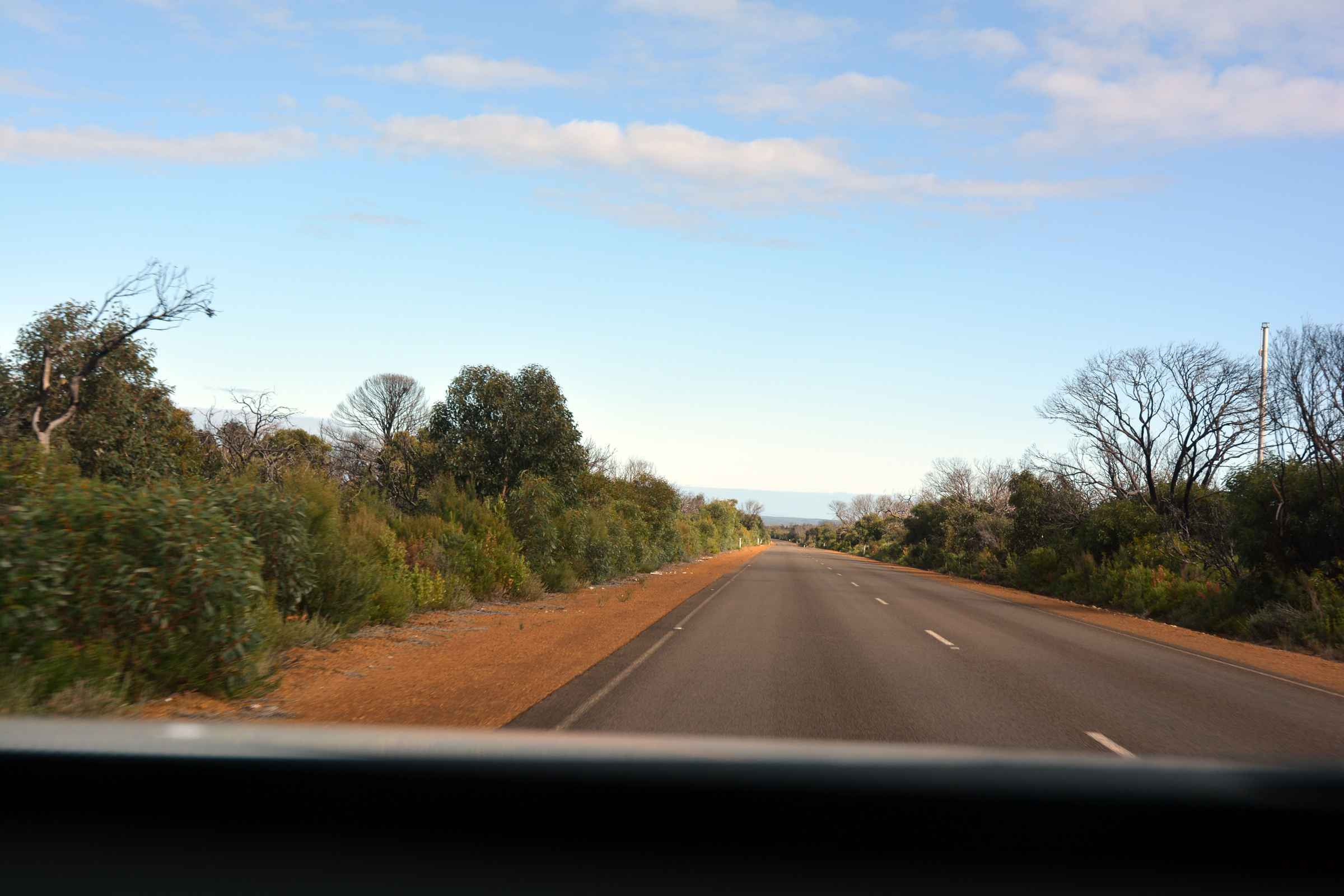
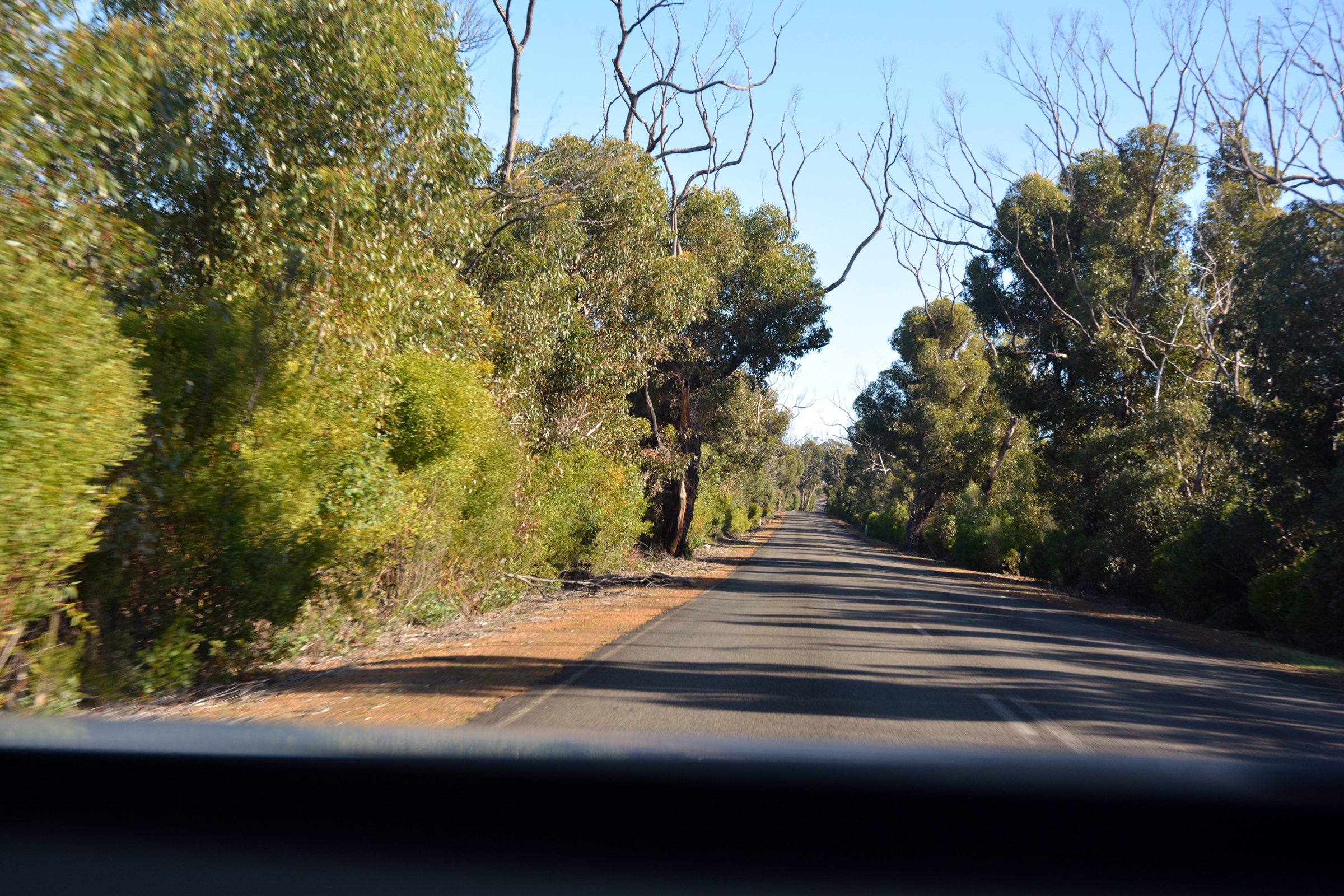
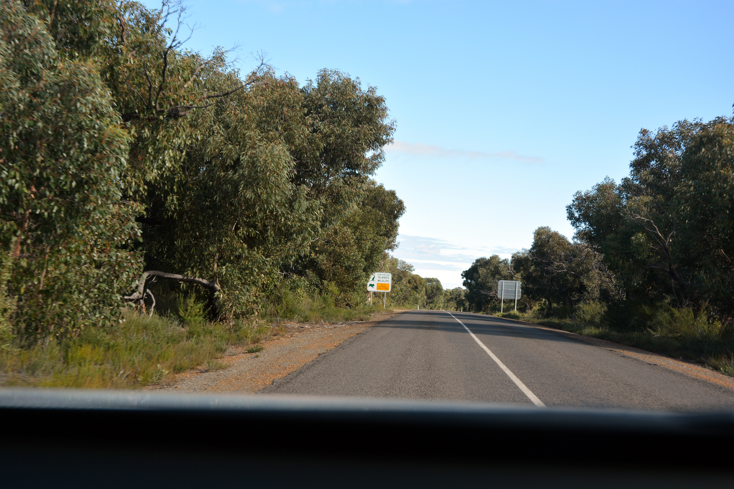
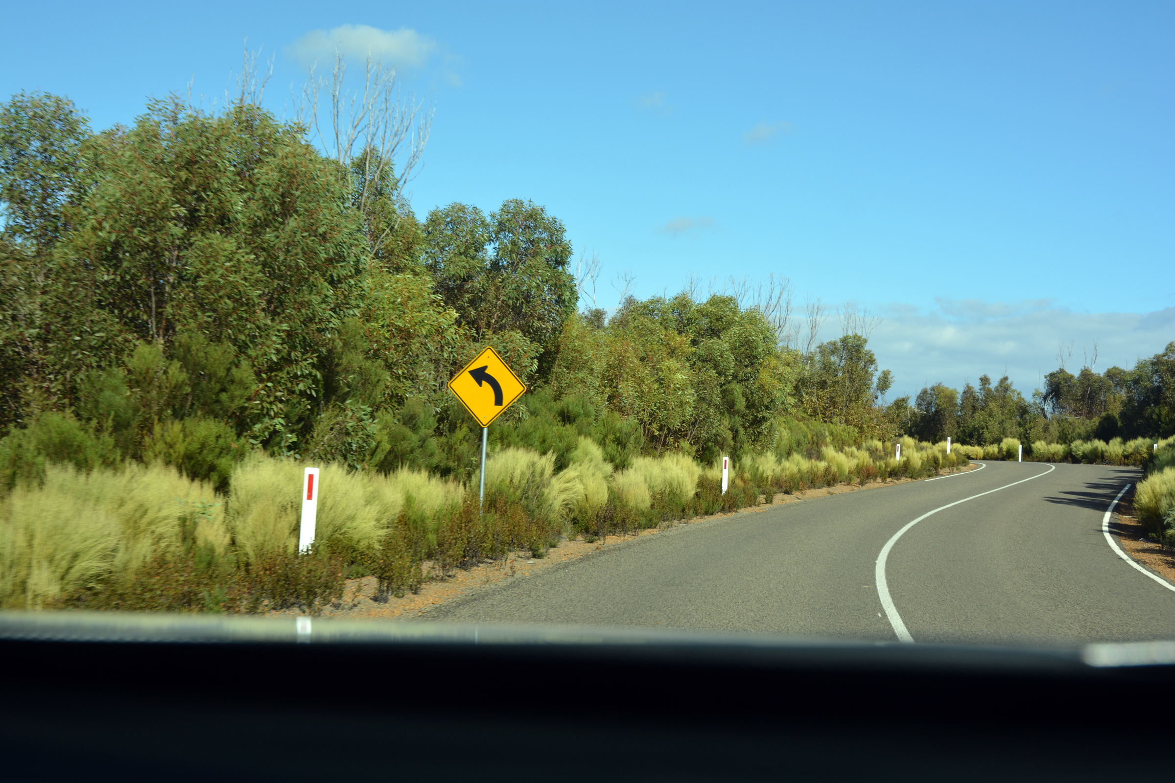
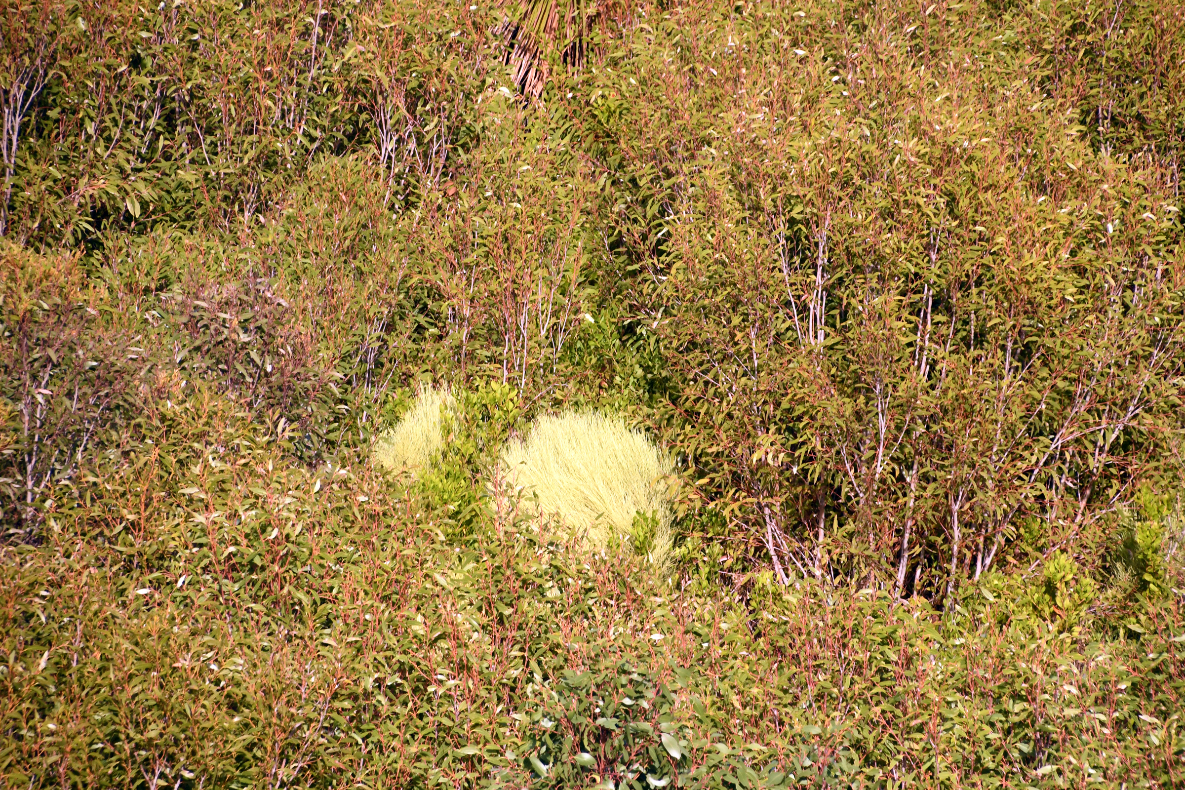
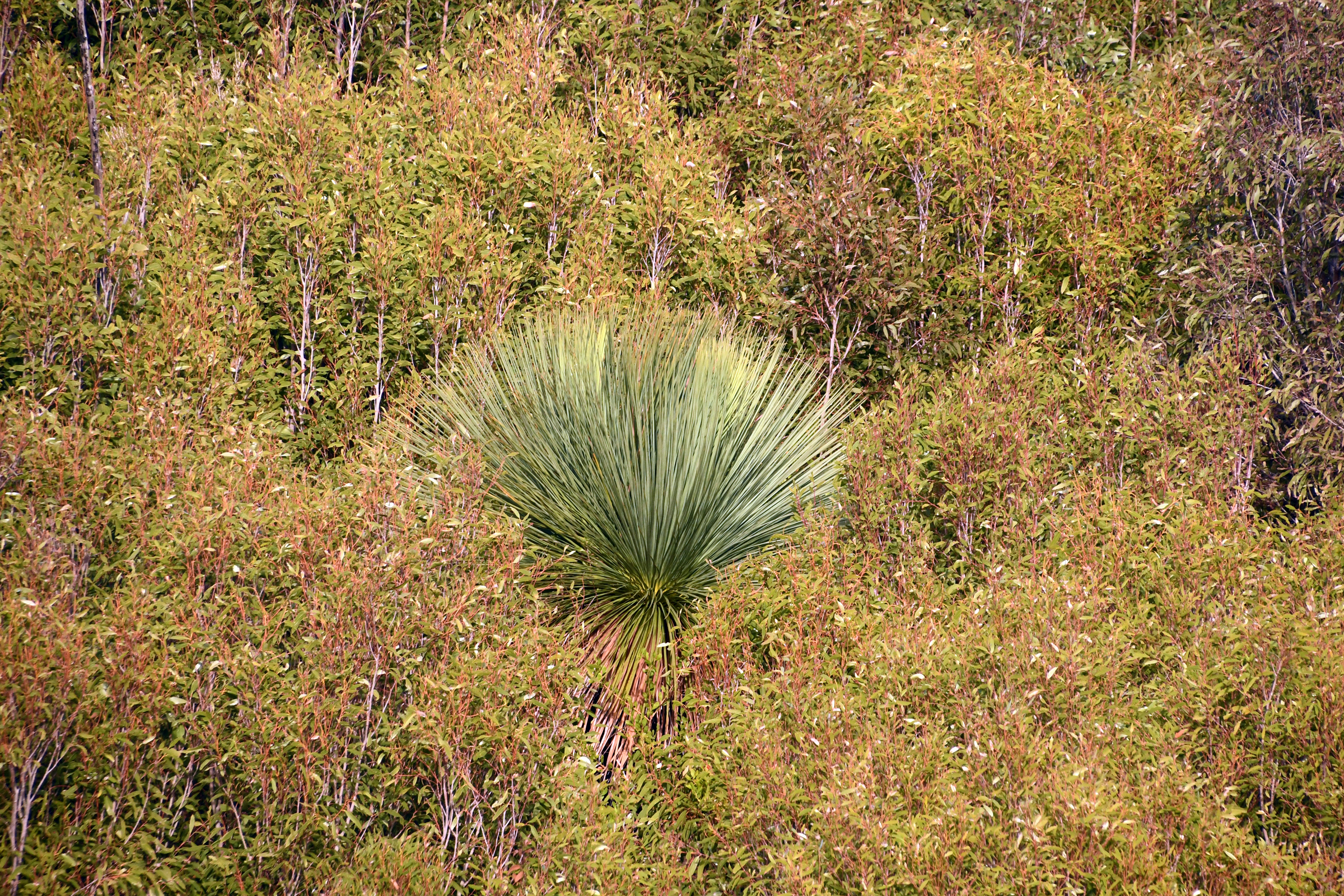
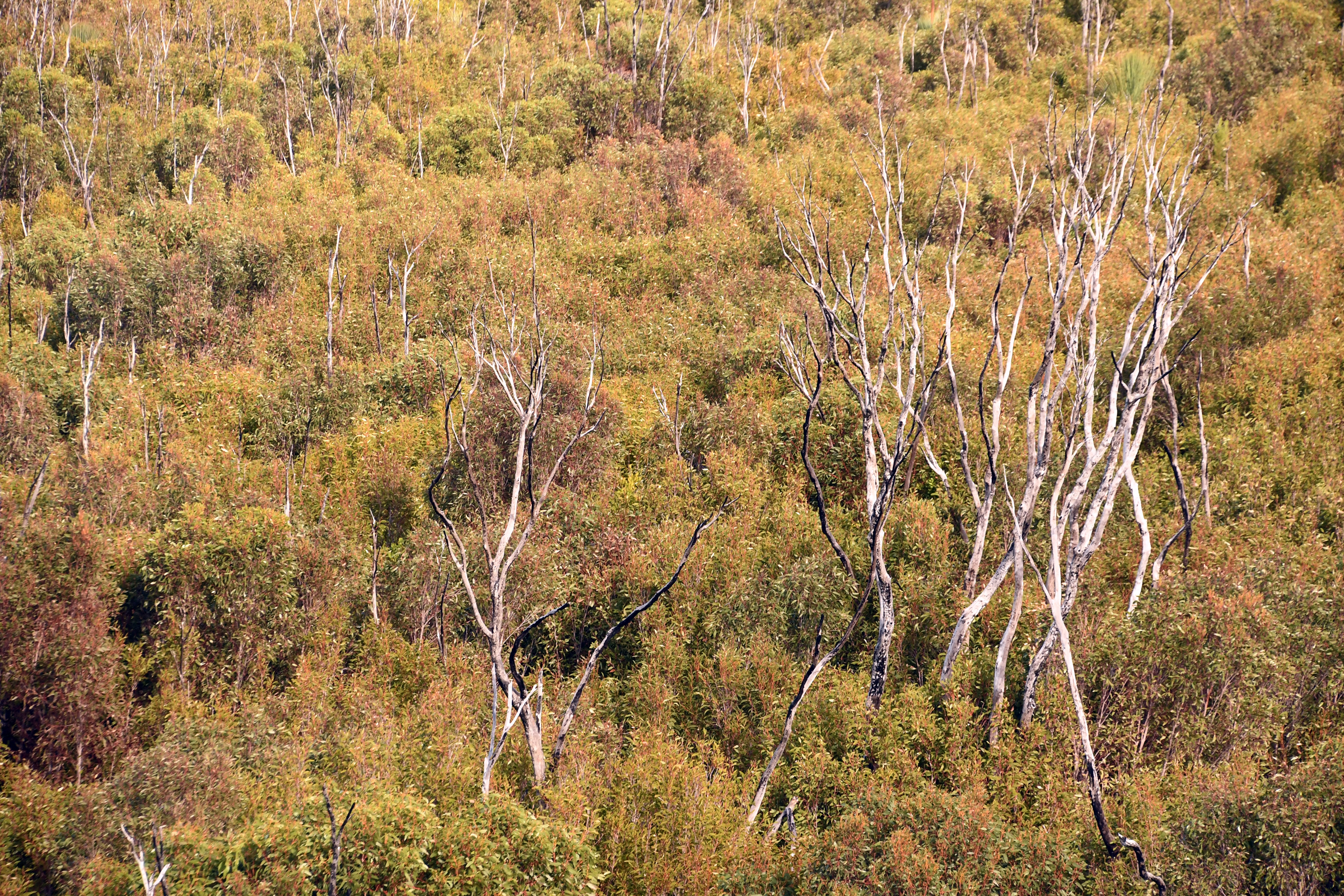
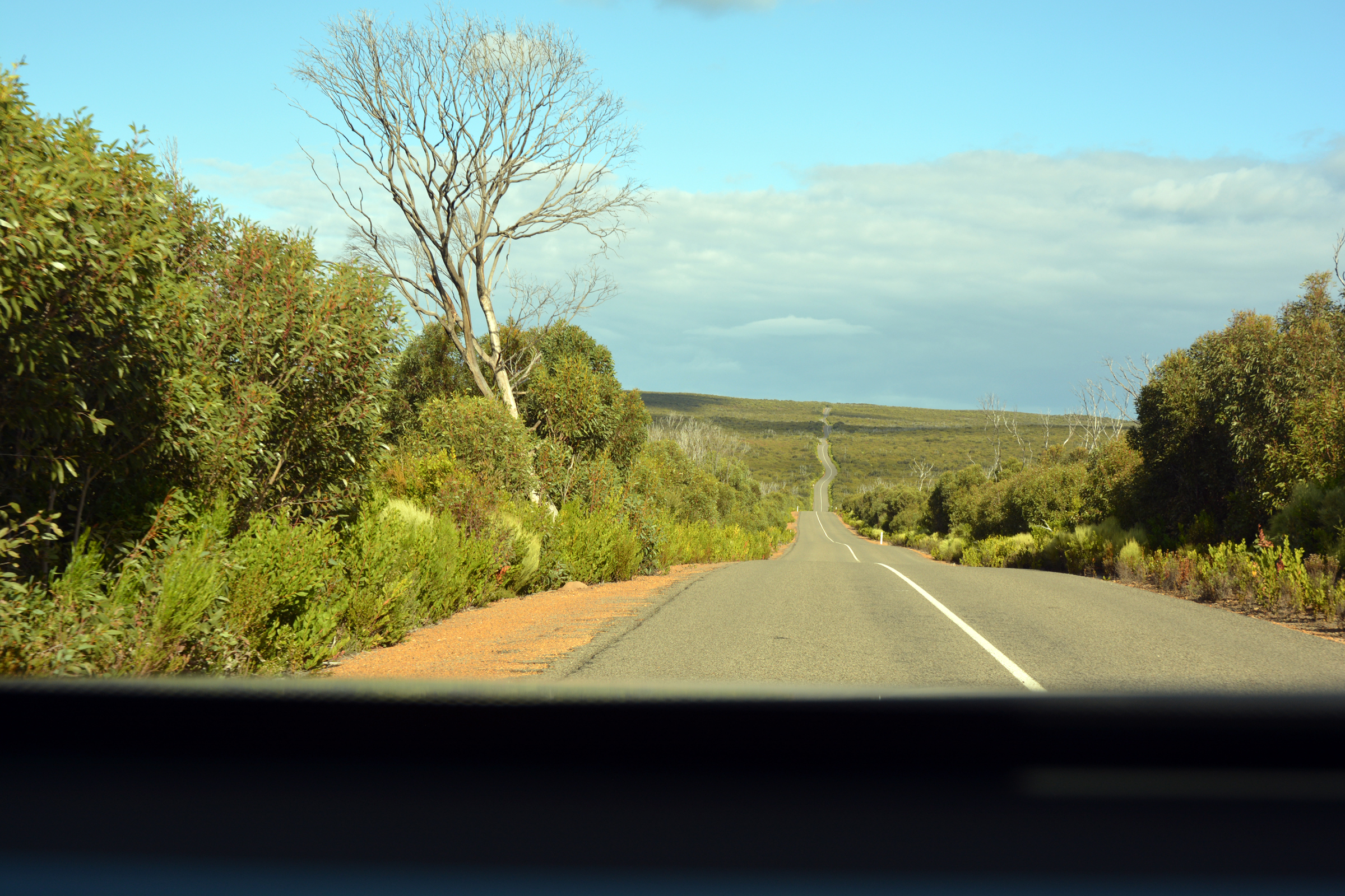
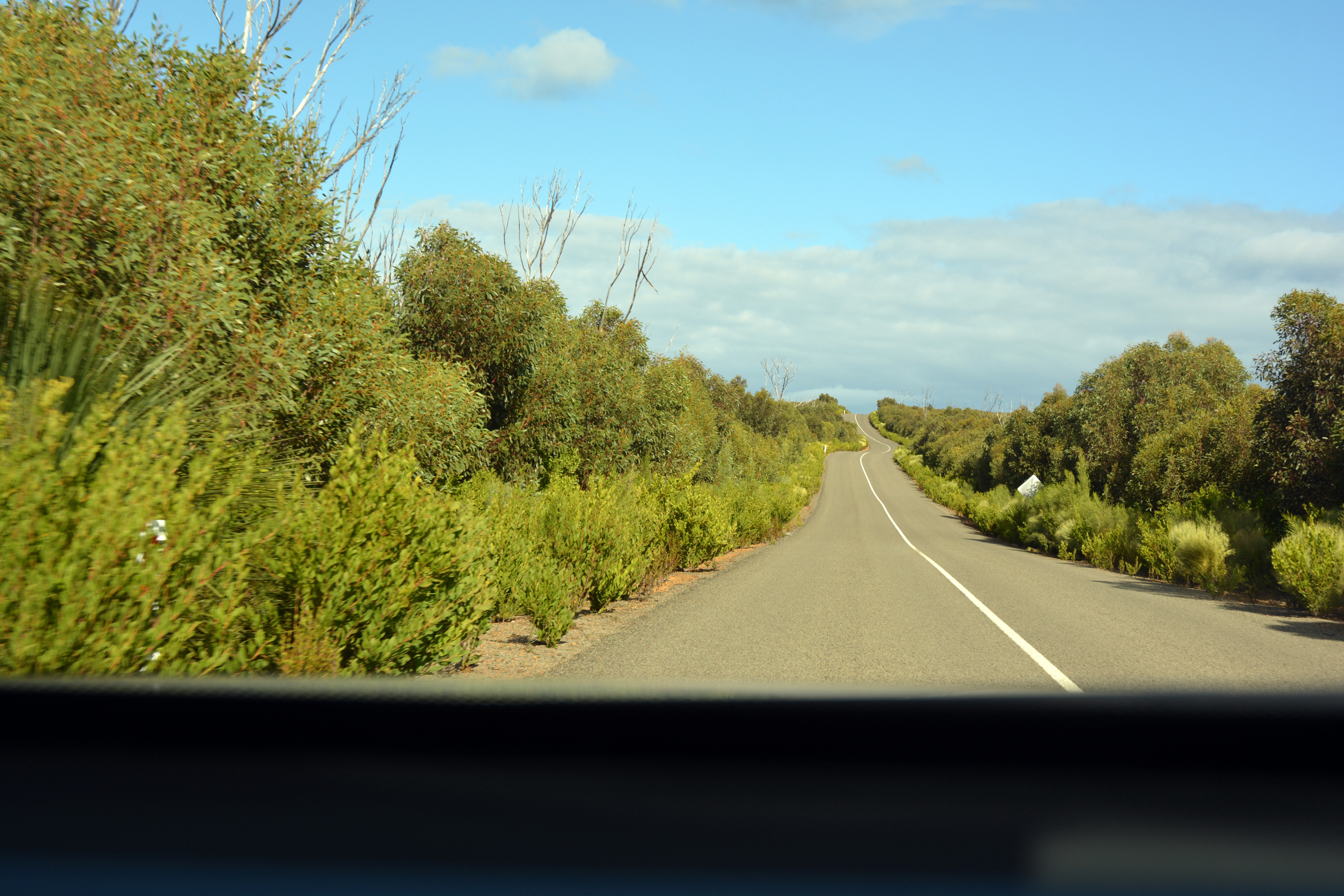
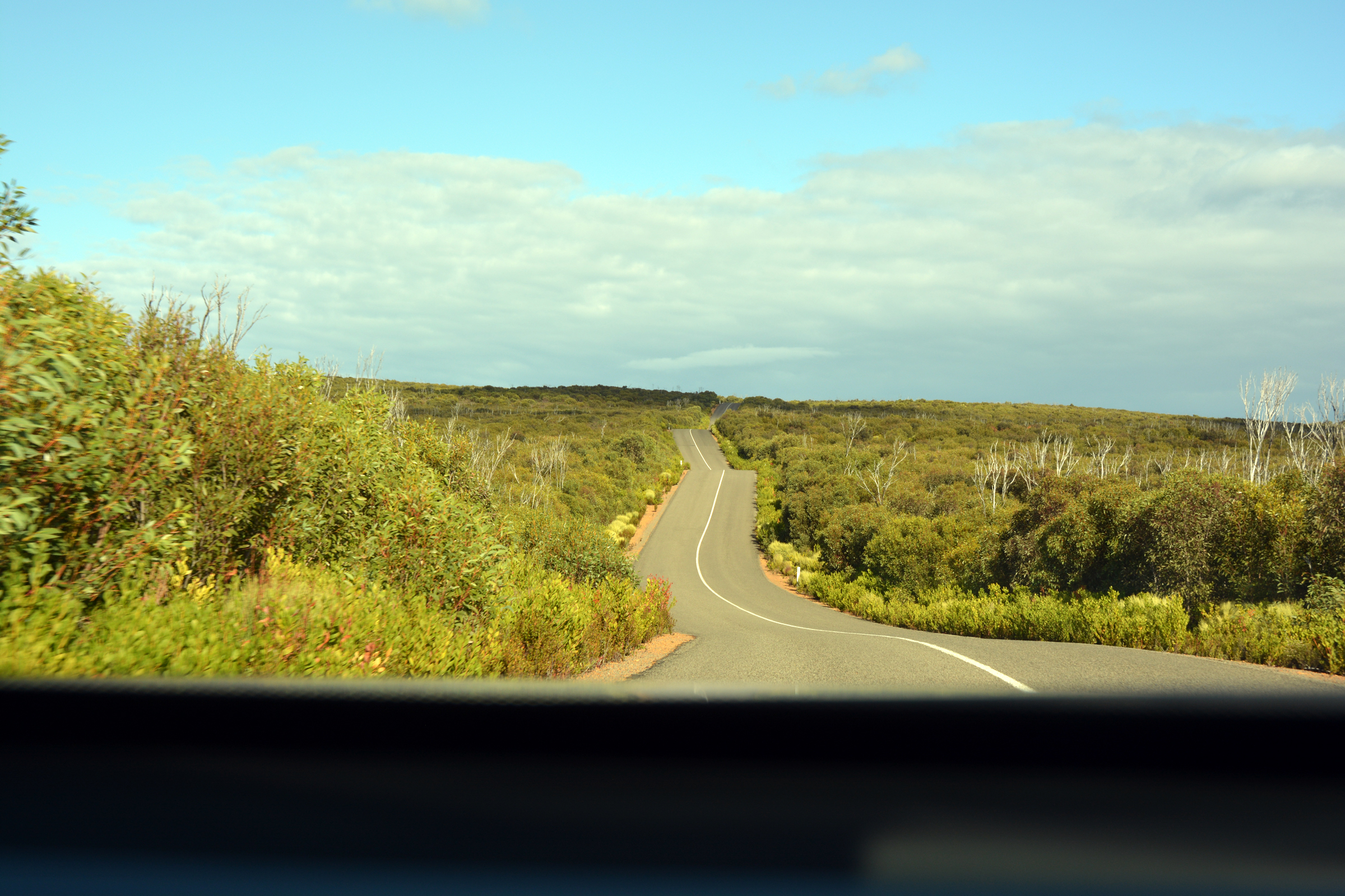
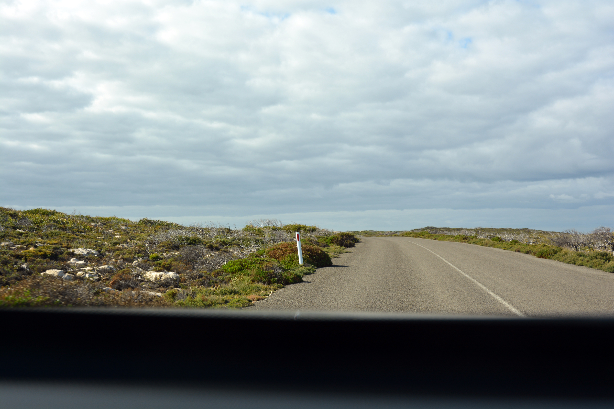
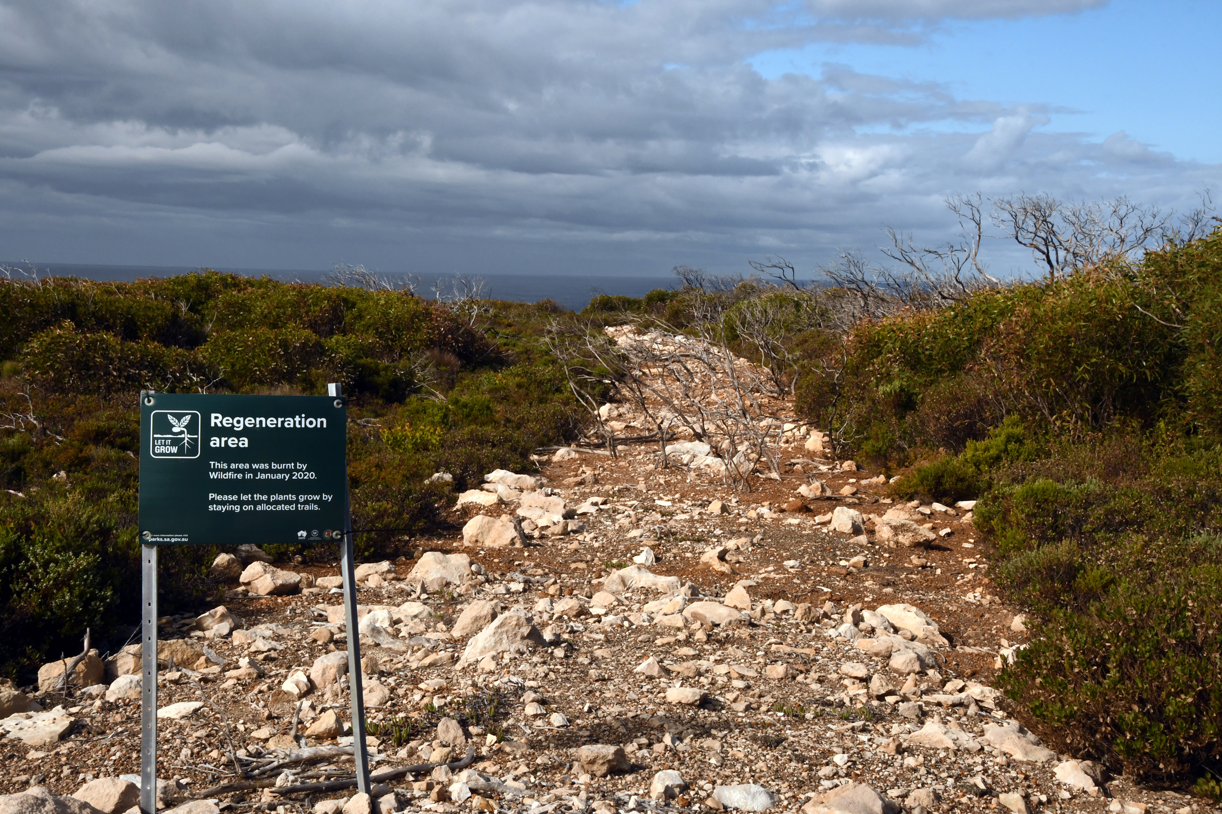
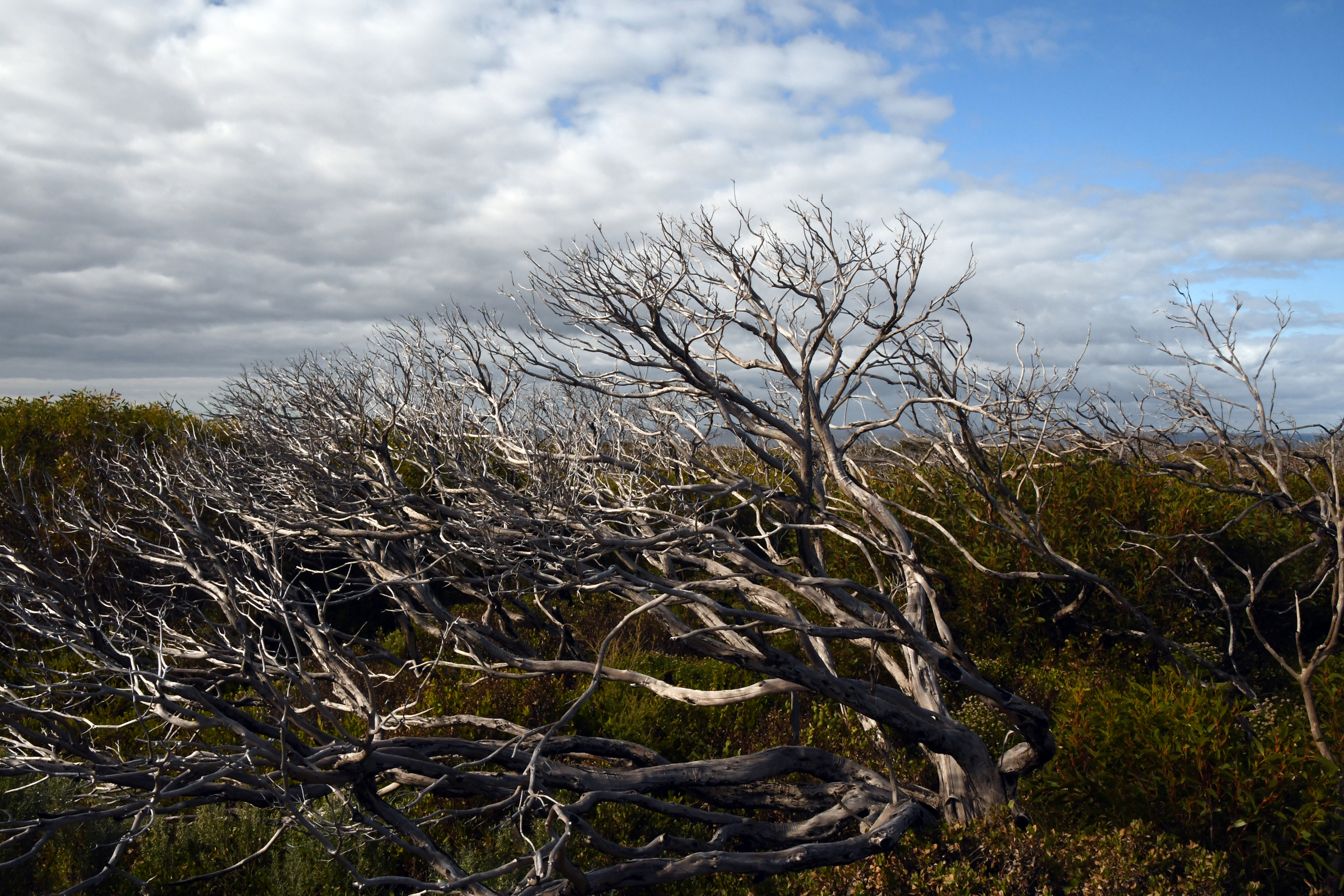
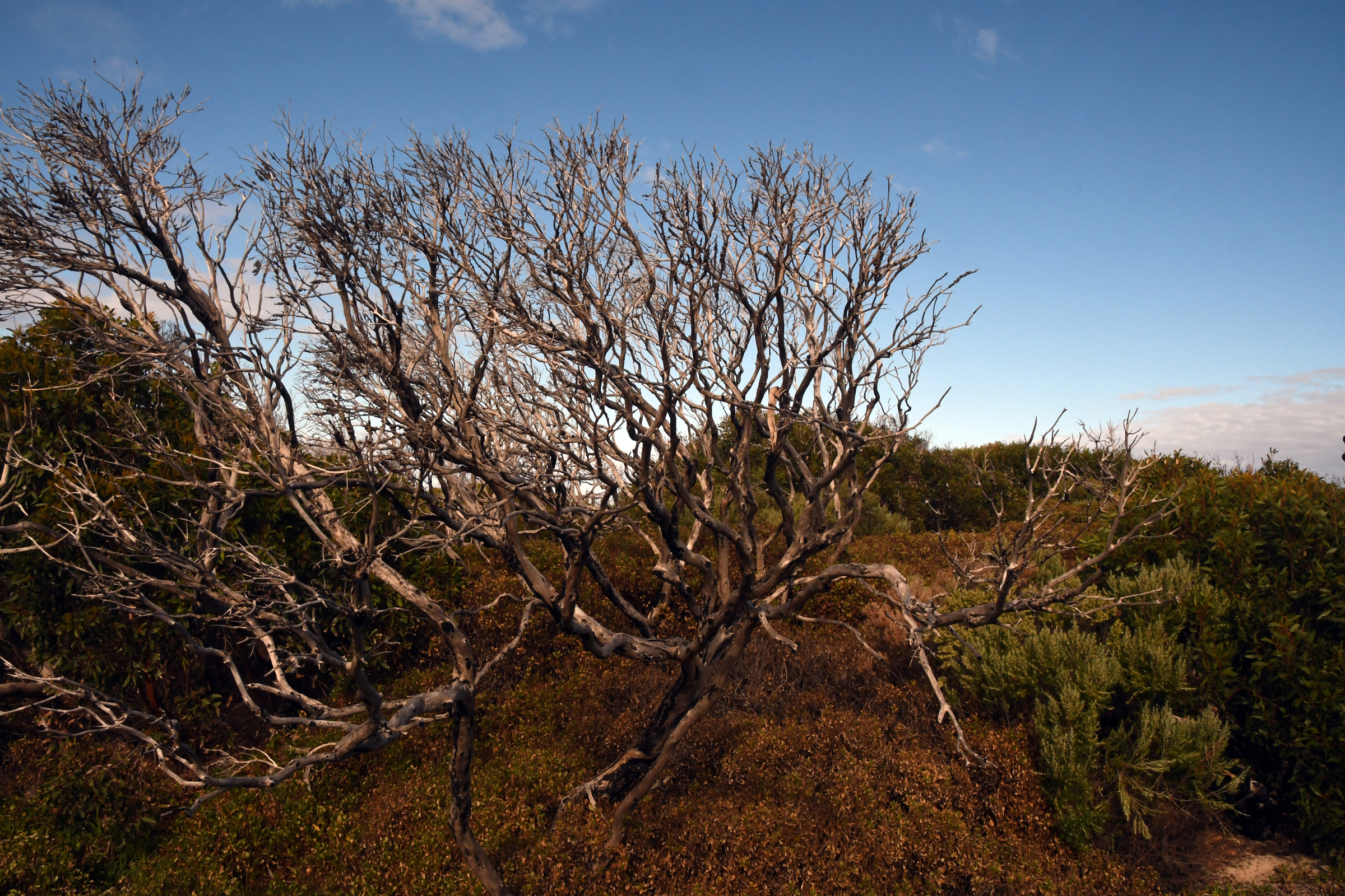
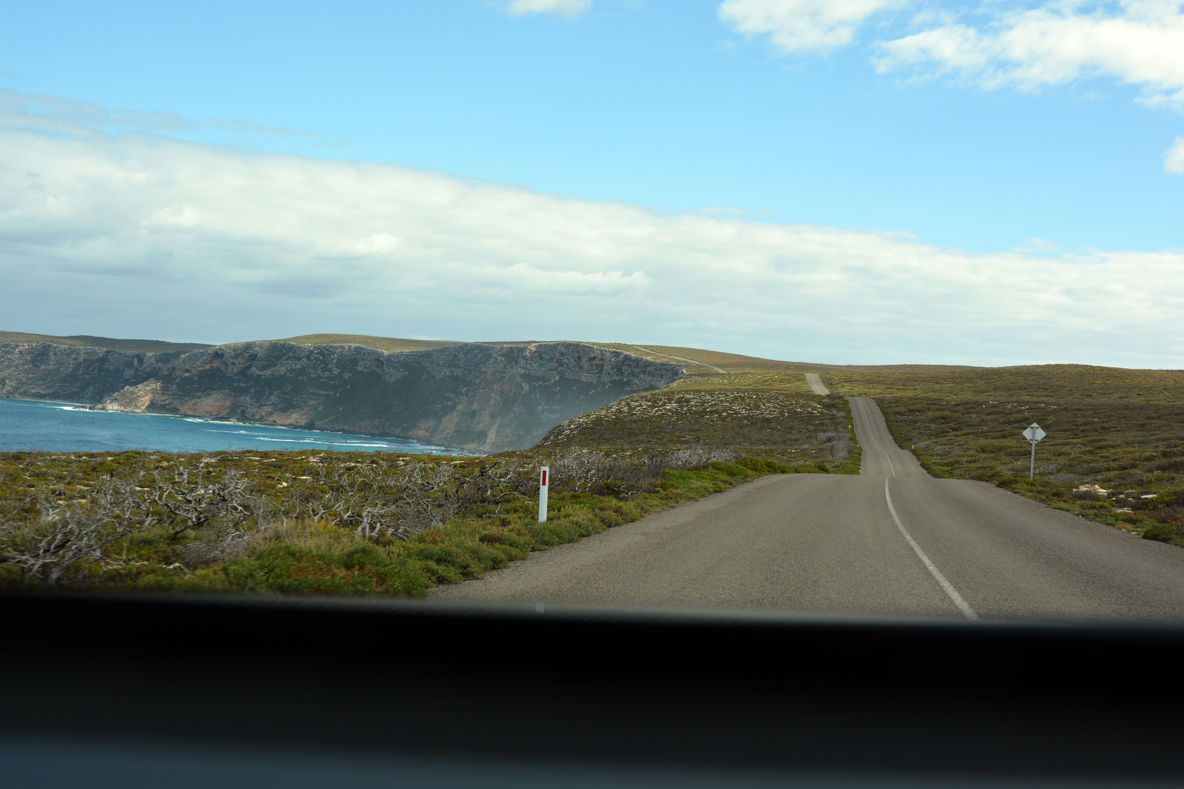
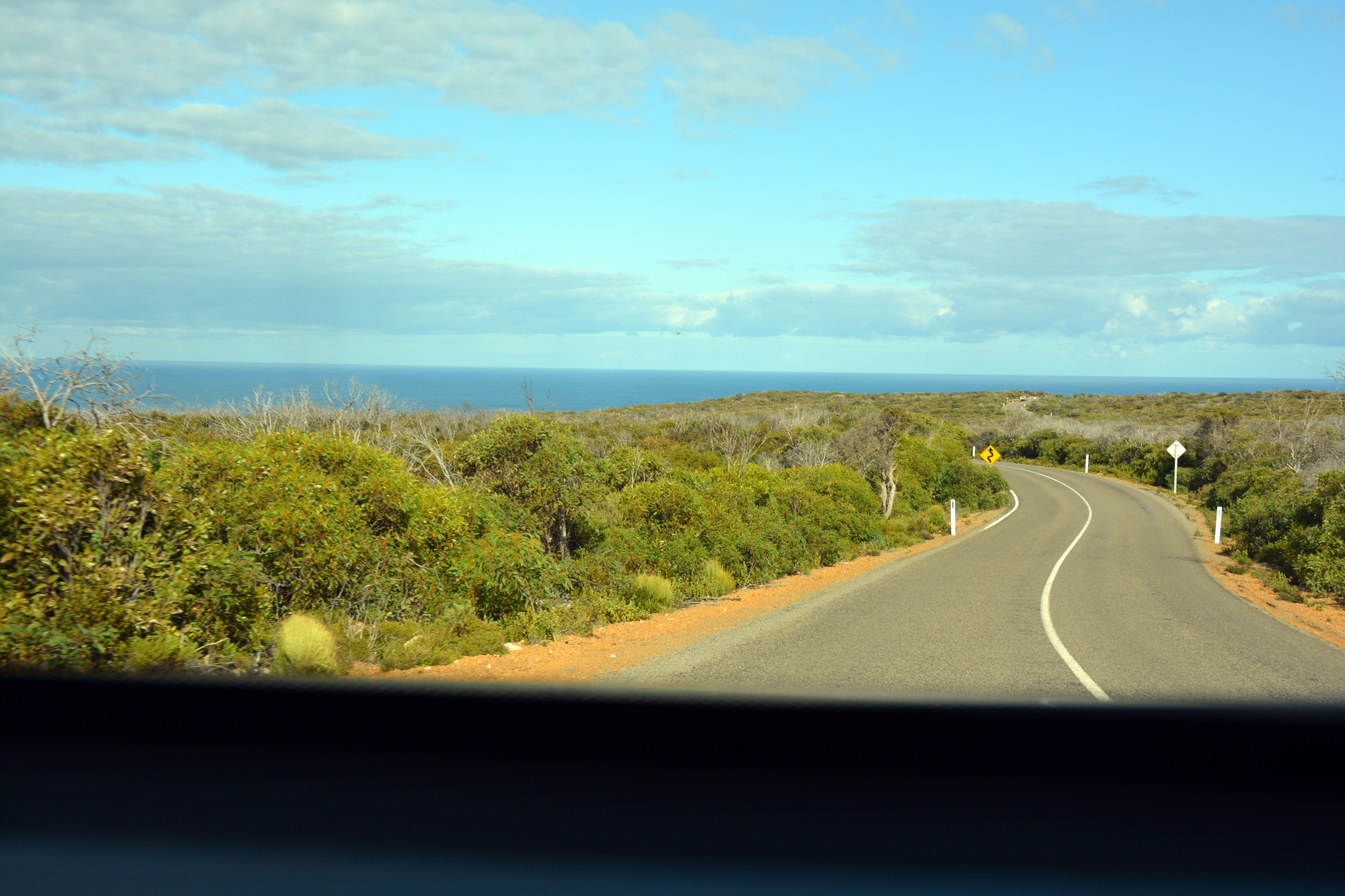
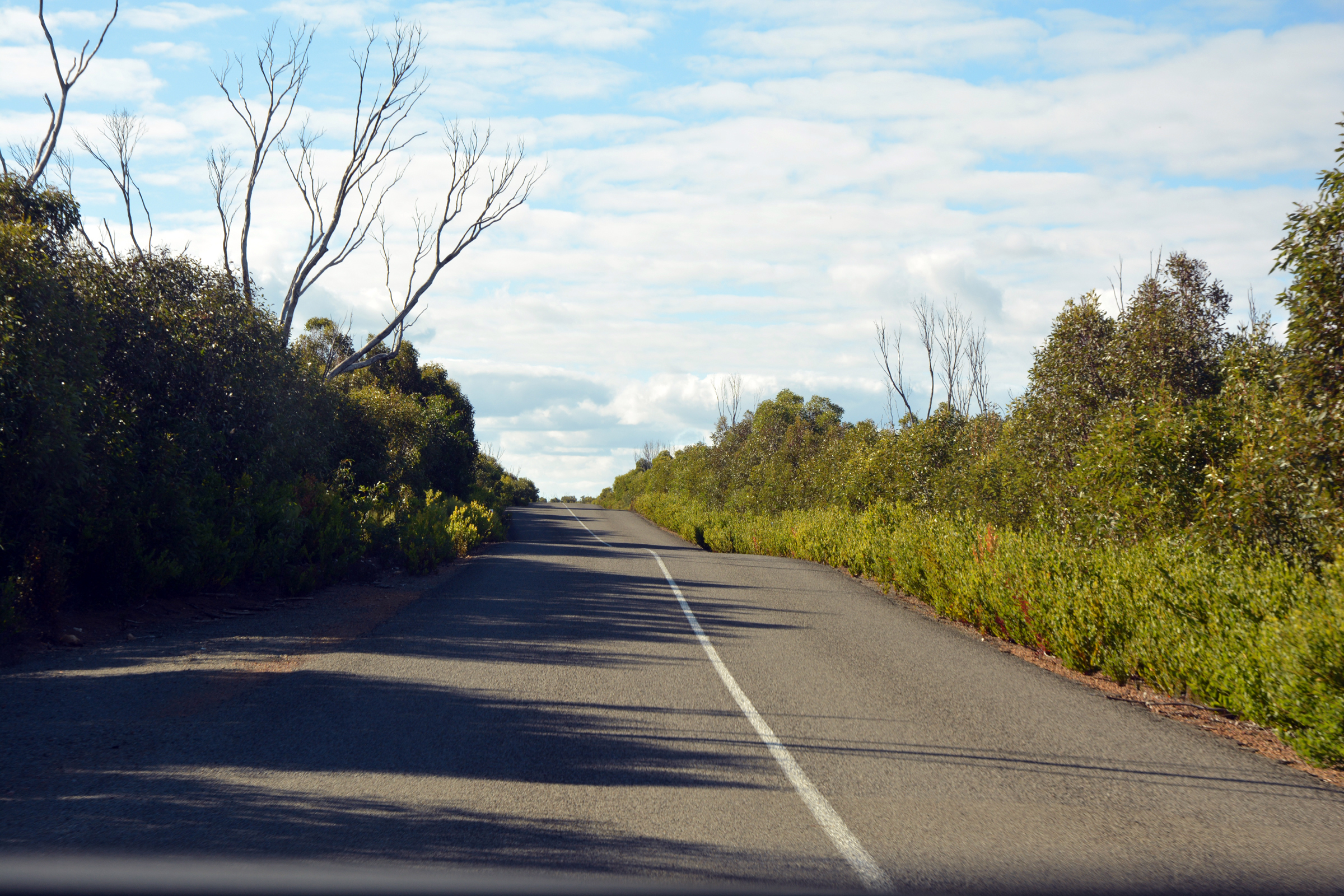
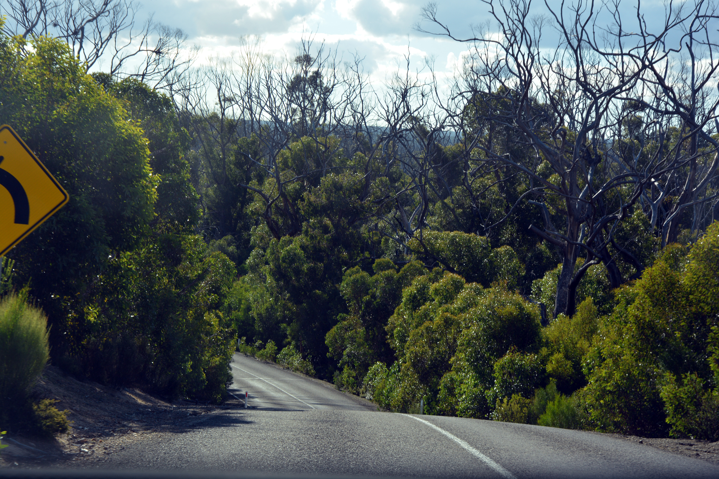
The road ook us past the airport and then west along the South Coast Road, perhaps mis-named as it does not come very close to the coast. We soon saw evidence of the massive fires that
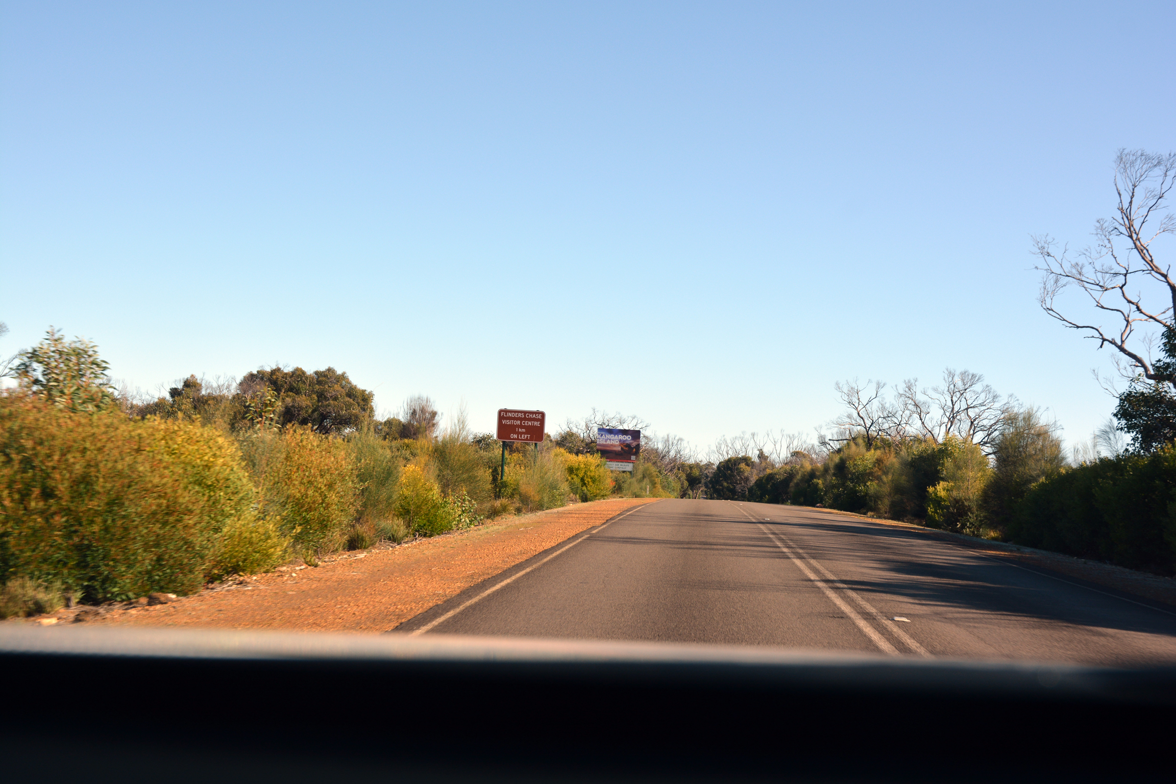
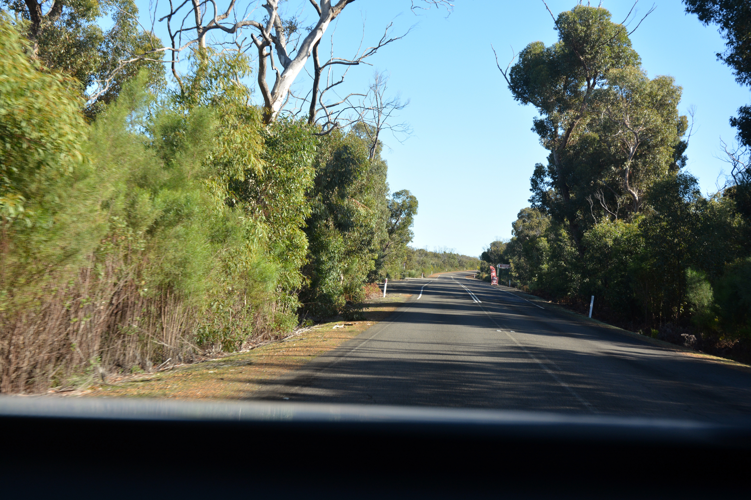
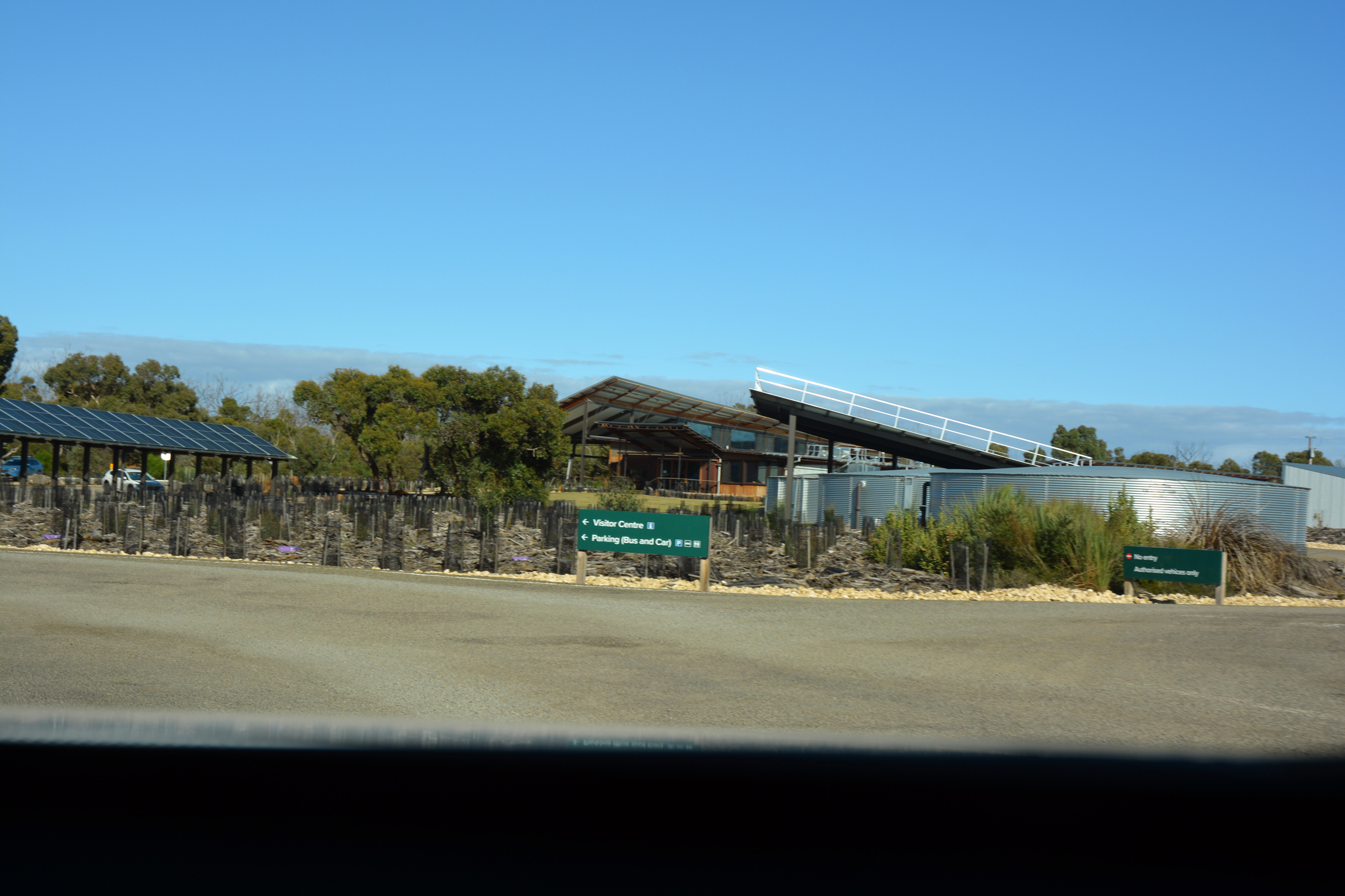
devastated the Island in 2020 with burnt trees towering over the new green regrowth. We continued on westward, eventually reaching the newly built (or is that rebuilt?) Park HQ. here we
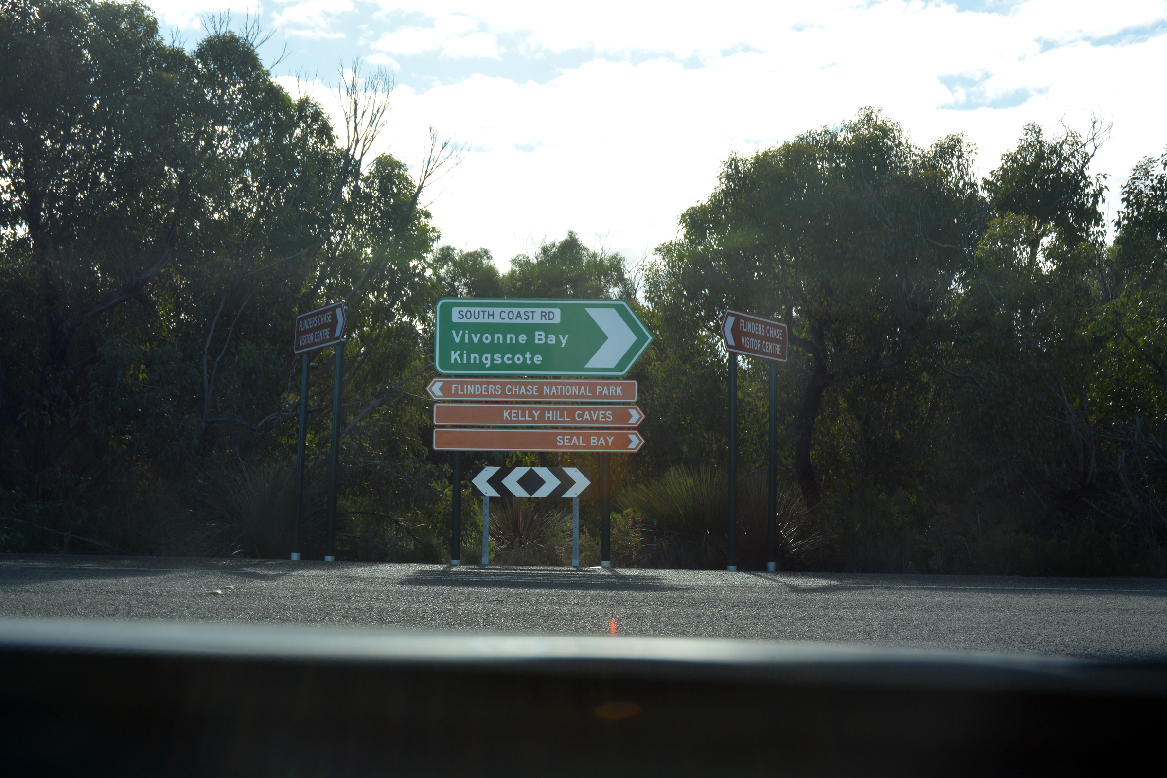
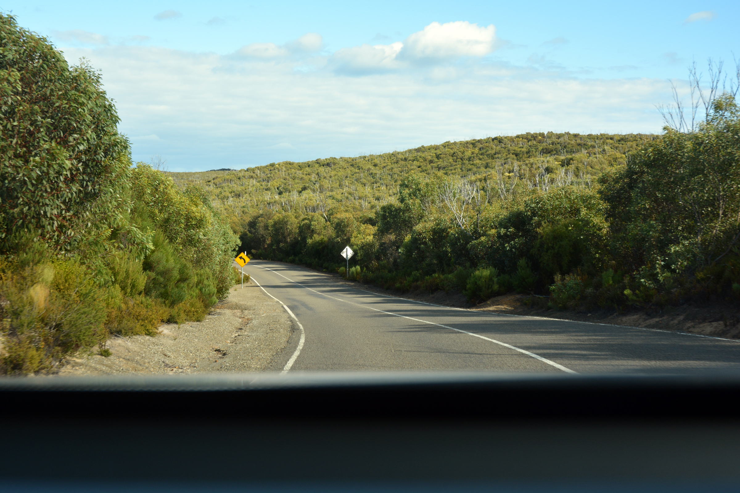
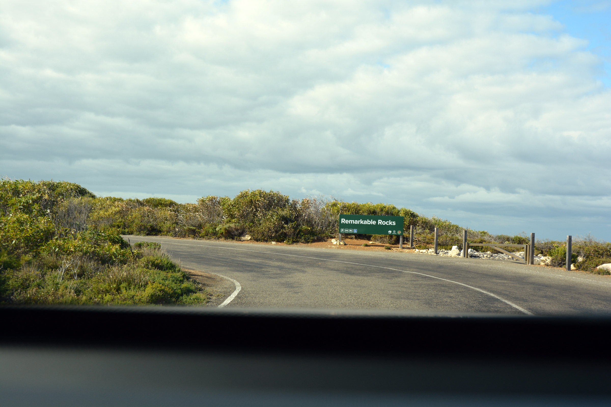
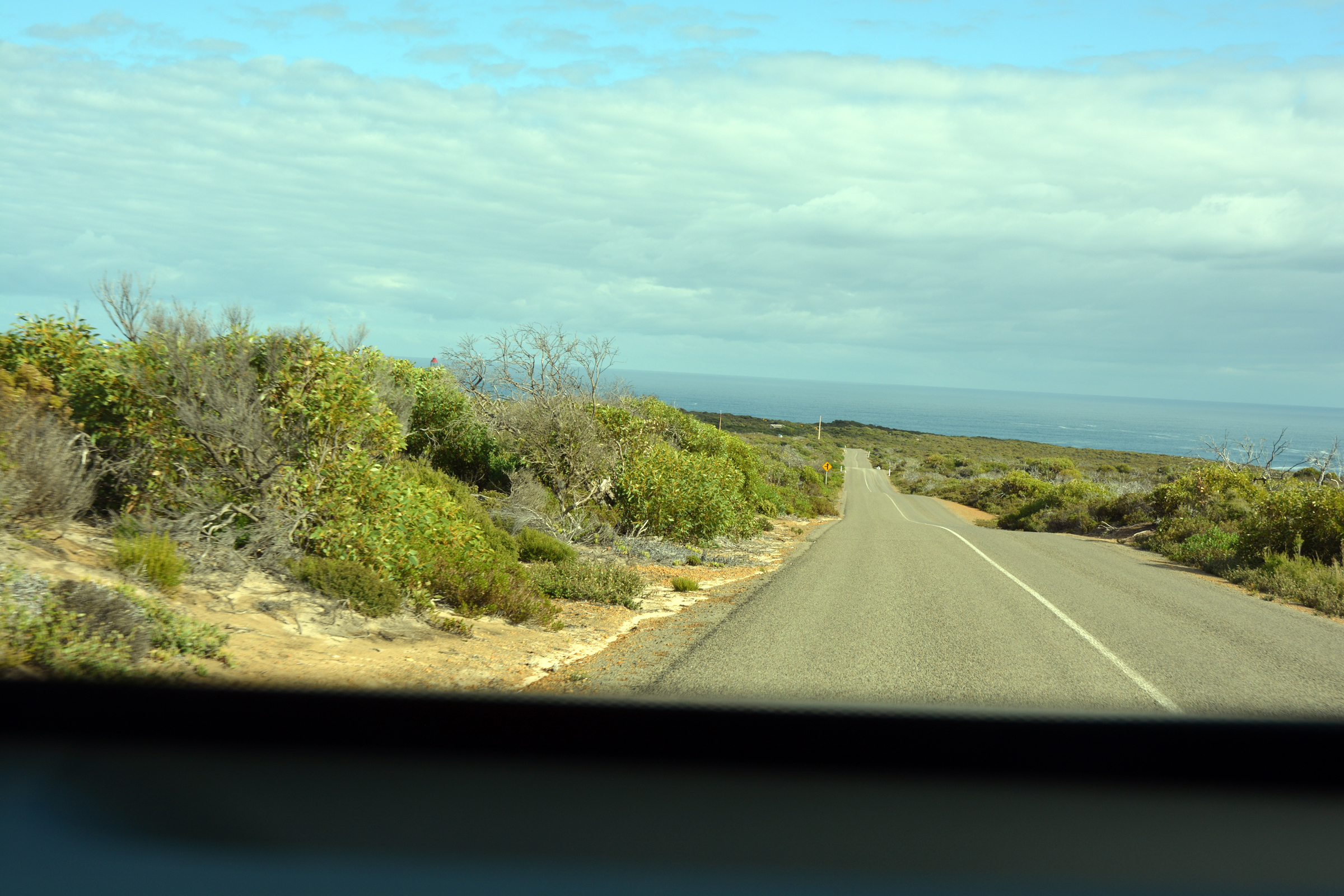
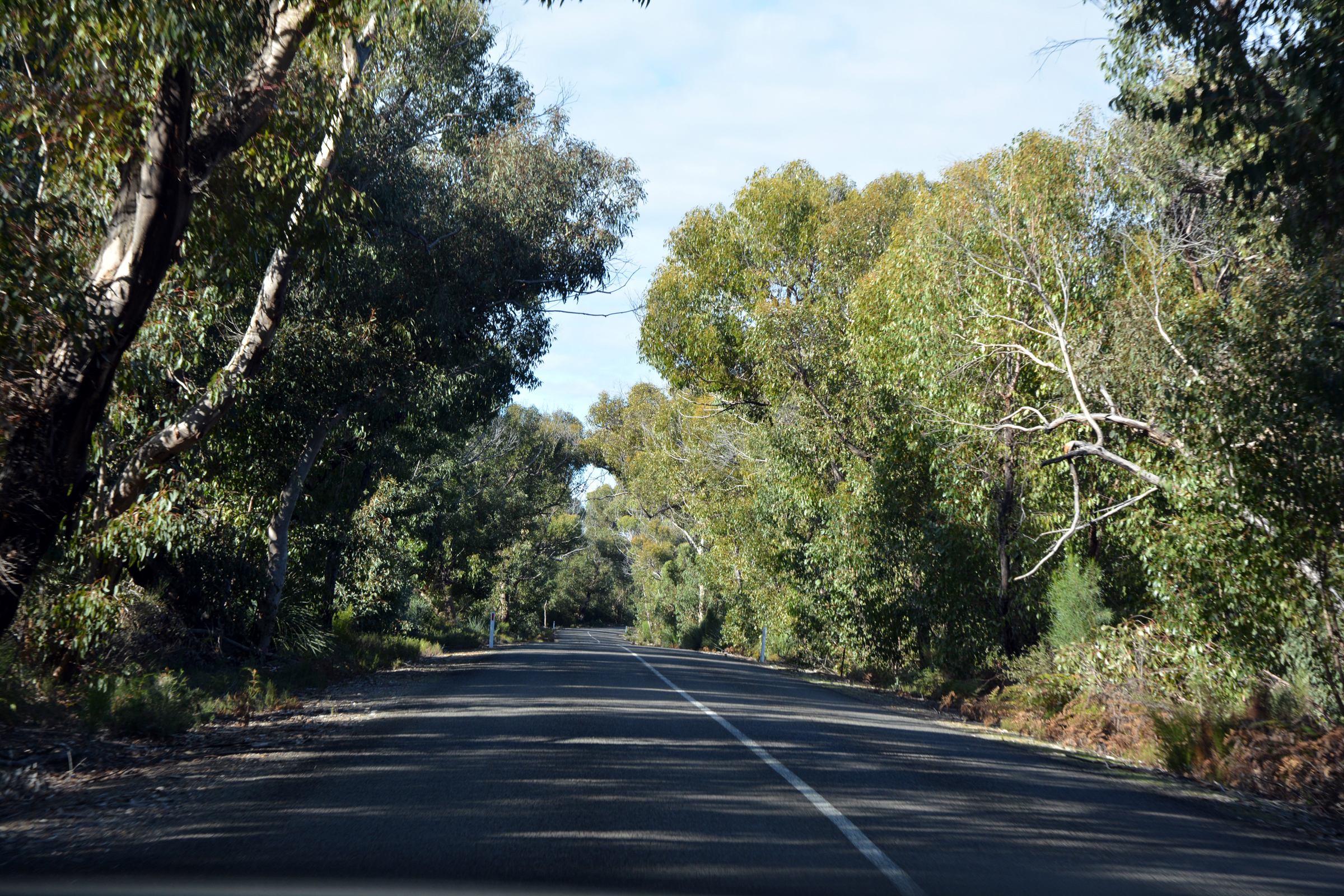
obtained maps of the park and paid our park entrance fees, before partaking in coffee and cake at the adjacent cafe. From there we followed the newly sealed road into the park, stopping at Bunker Hill for the view,
then on to the Remarkable Rocks Lookout. The raod then took us to Weirs Lookout, the Cape du Couedic Lighthouse and then Admiral's Arch. We paused in the car park for a nice cup of tea and the
bacon butties we had smuggled out of the breakfast buffet.
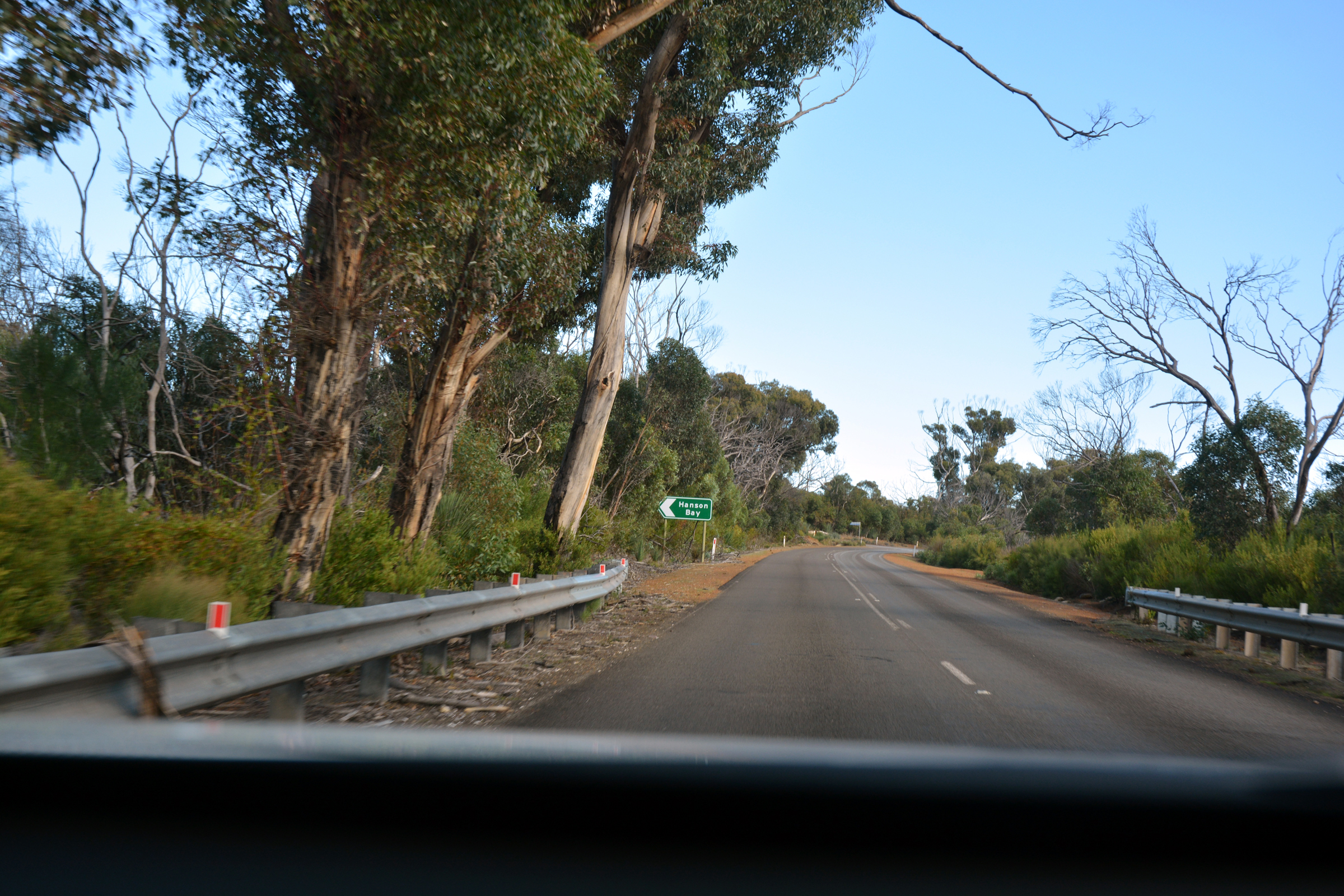
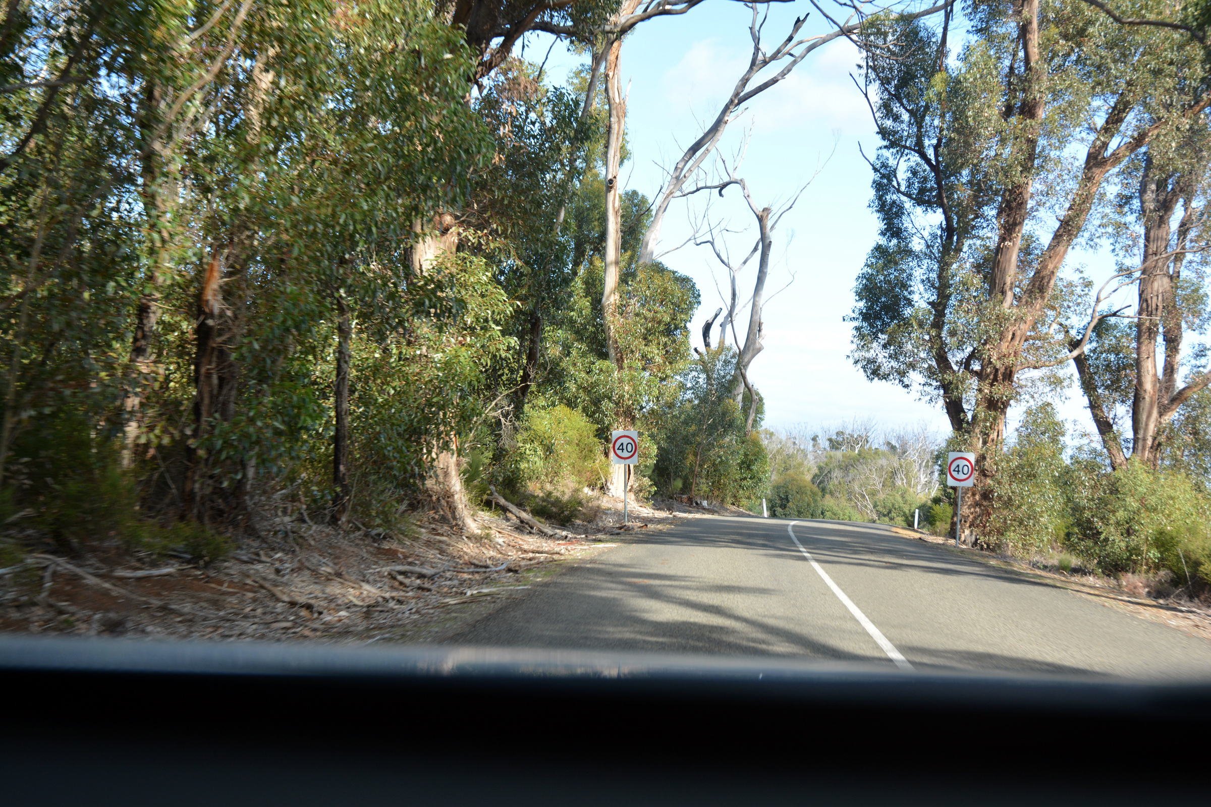
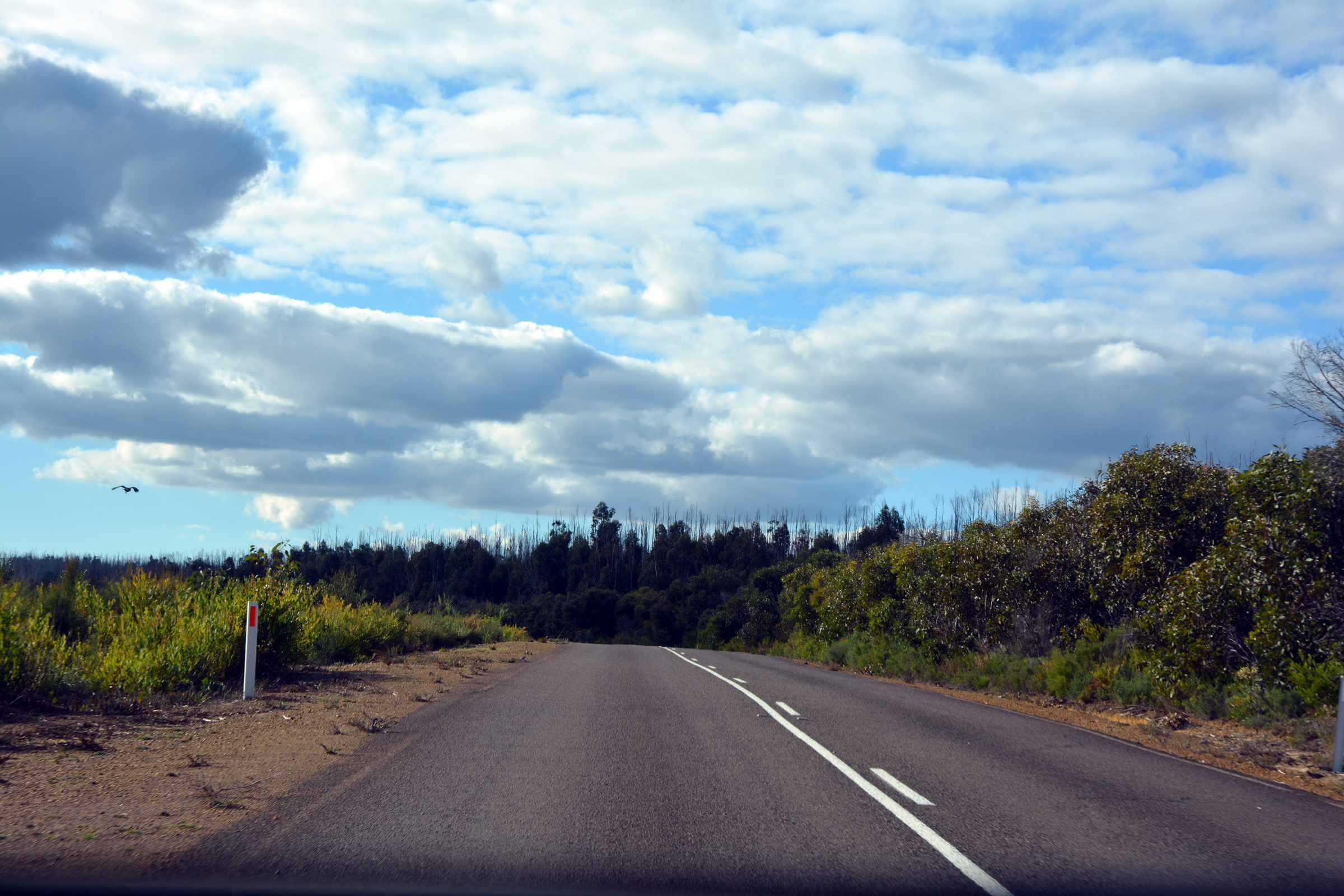
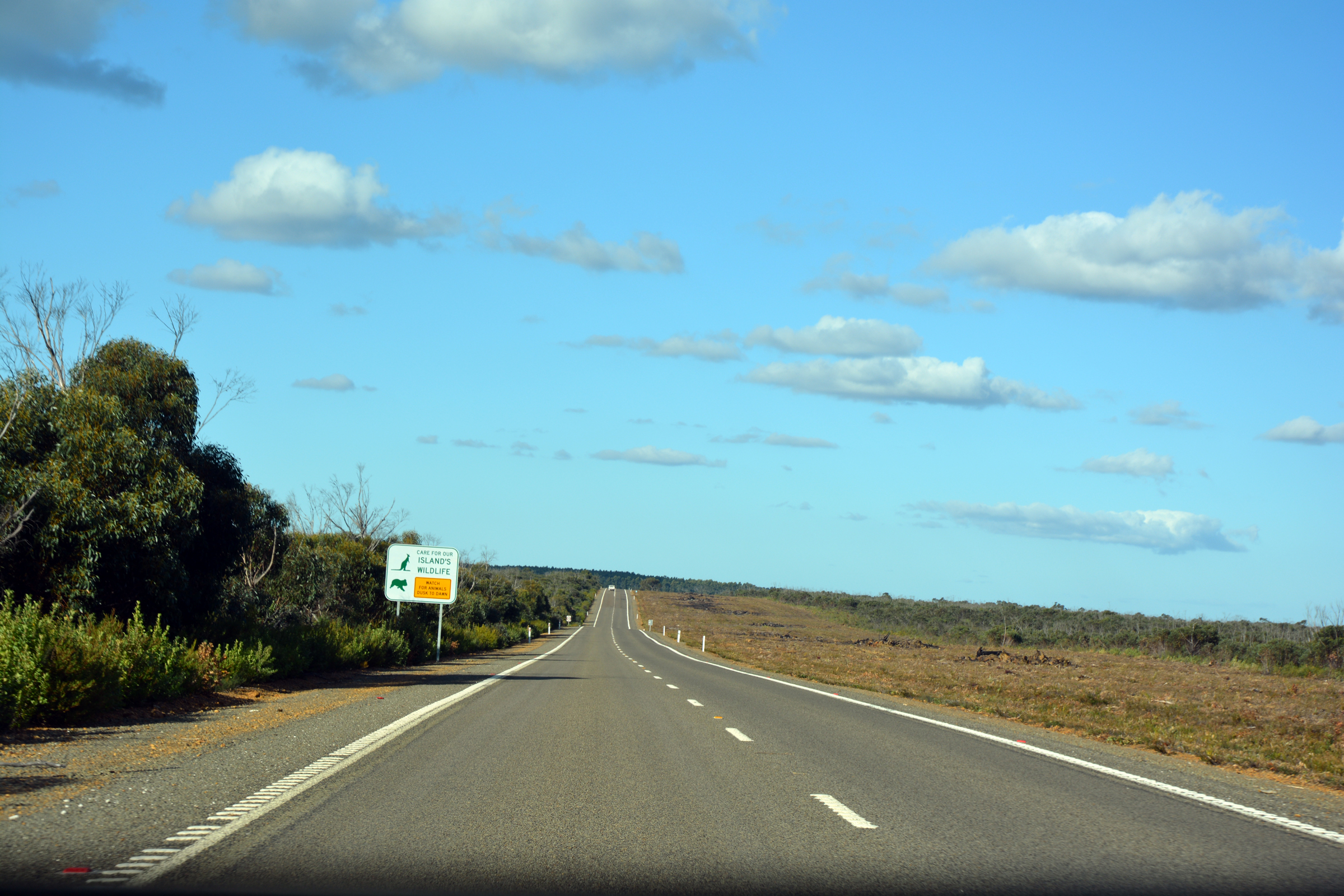
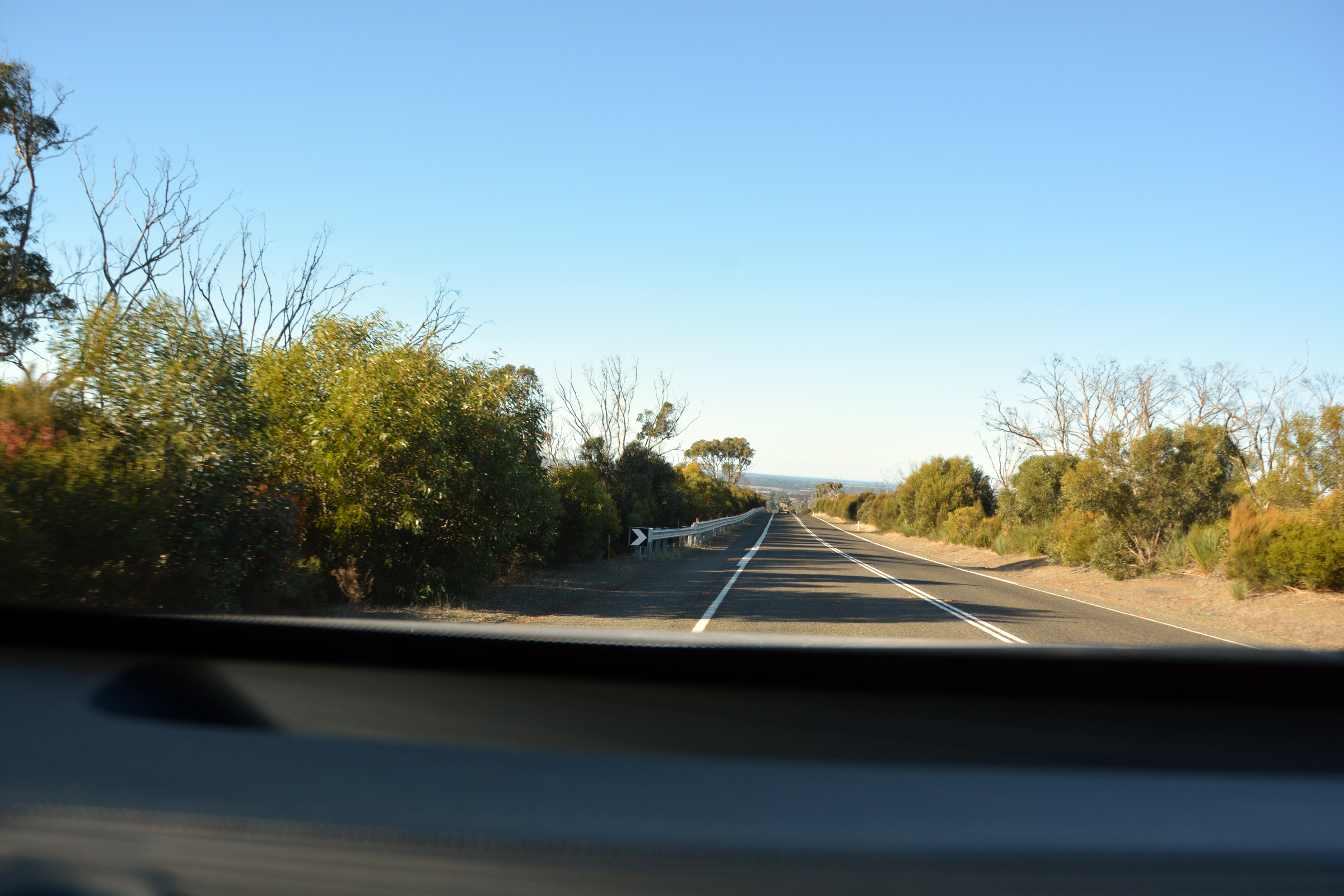
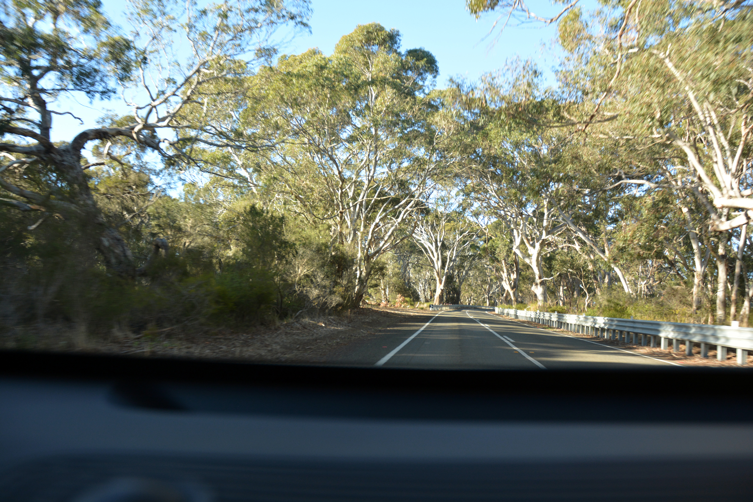
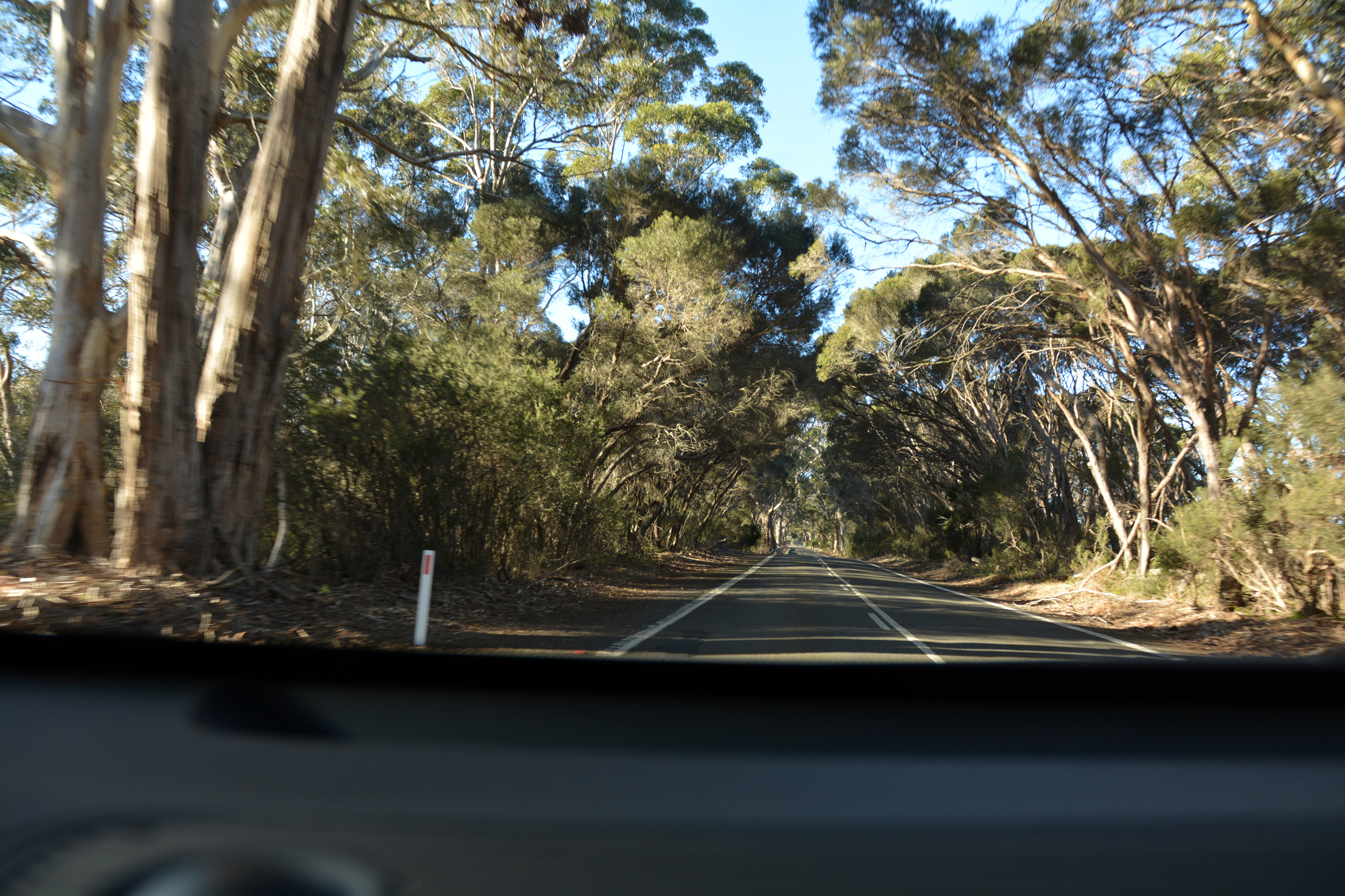
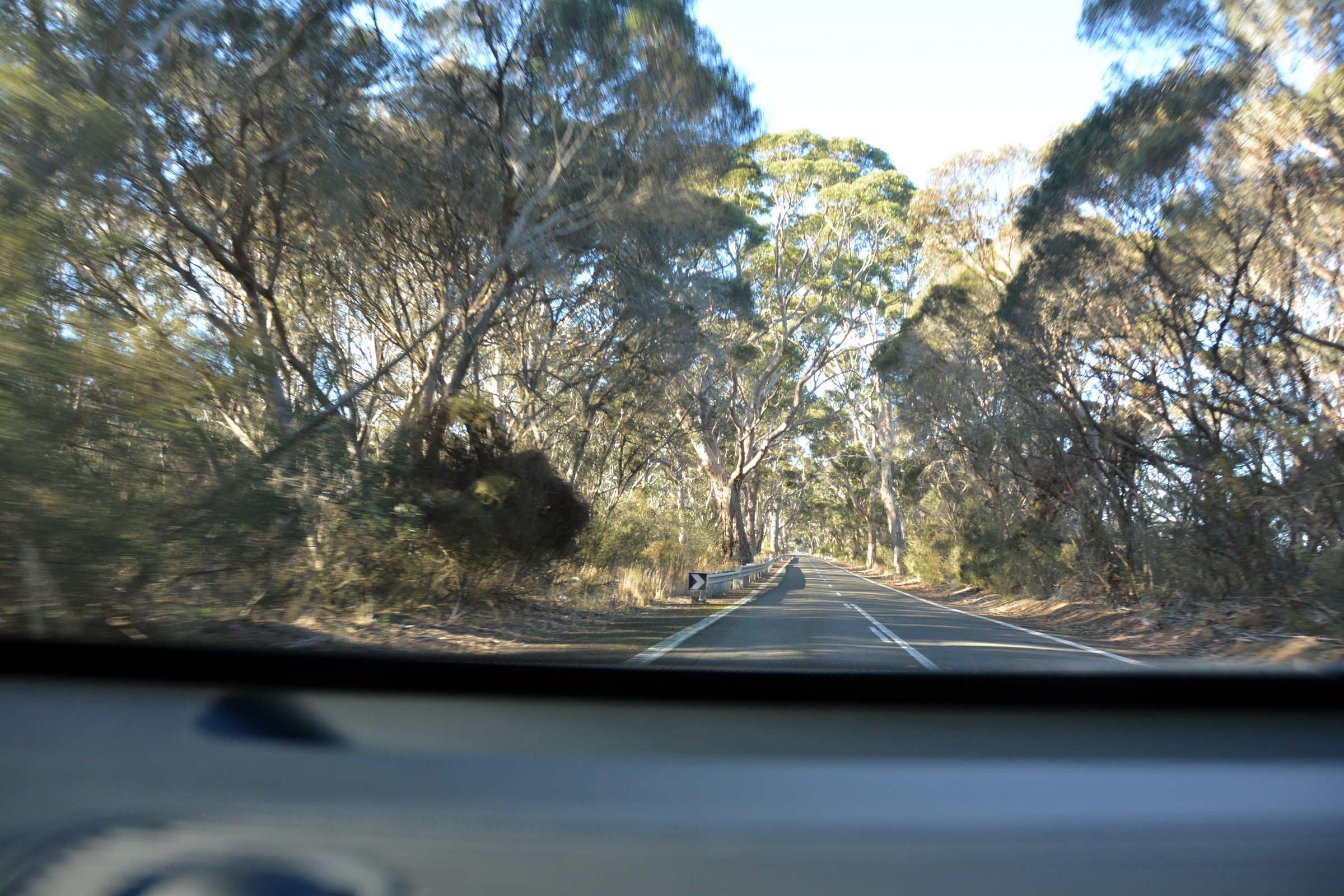
We headed north to the centre of the island to find the road back to Kingscote. The Playford Highway follows the high ground in the centre of the island, and here also we saw signs of the 2020 fires.
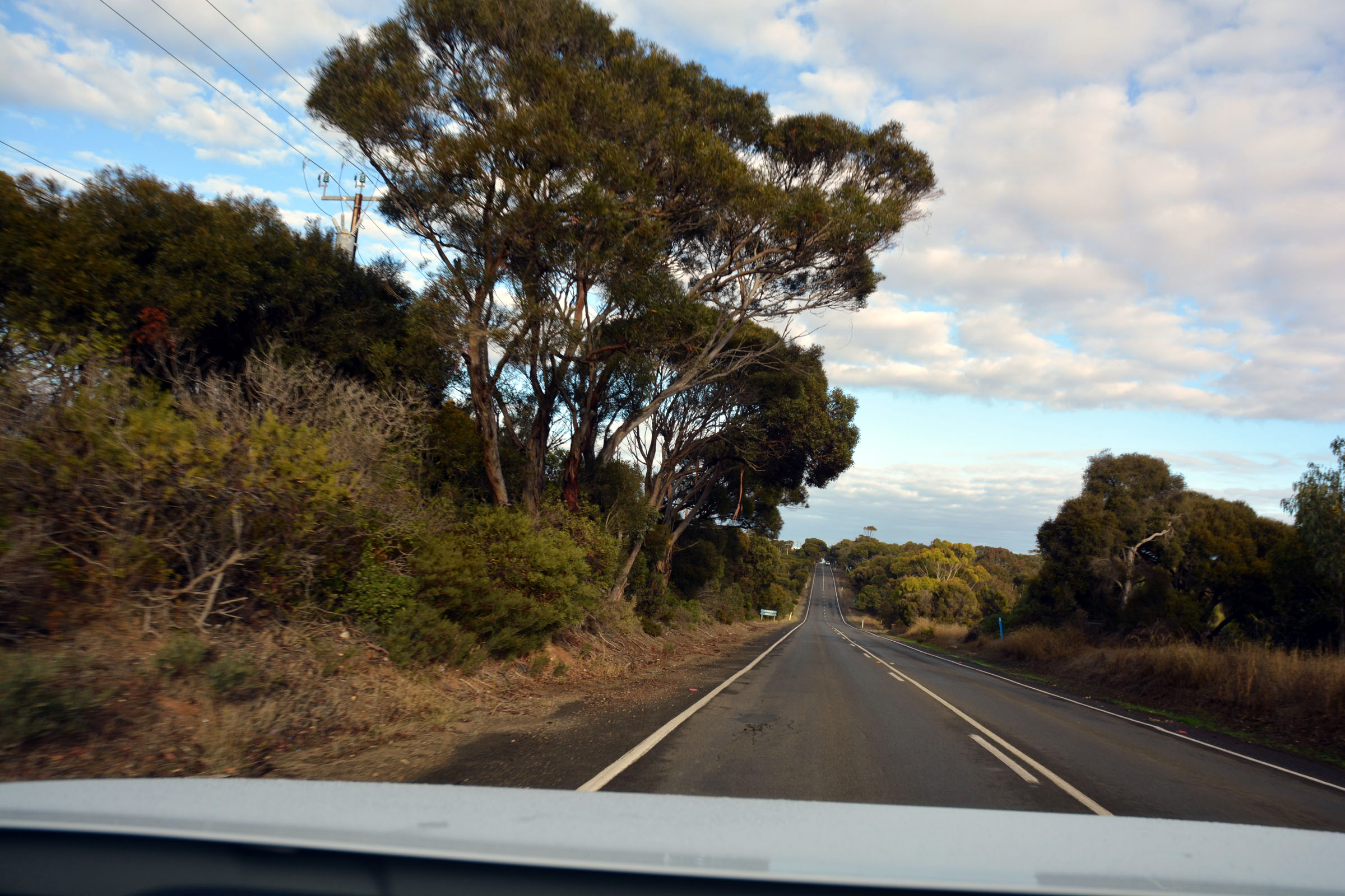
The road to Flinders Chase
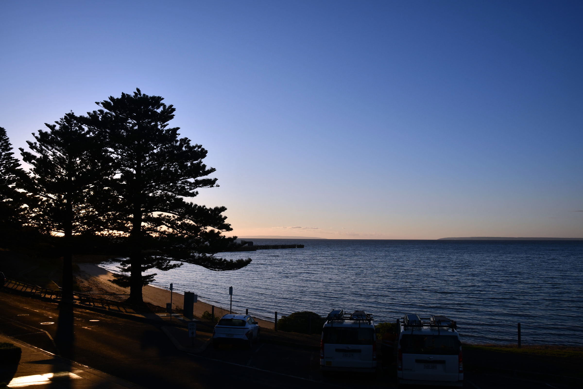
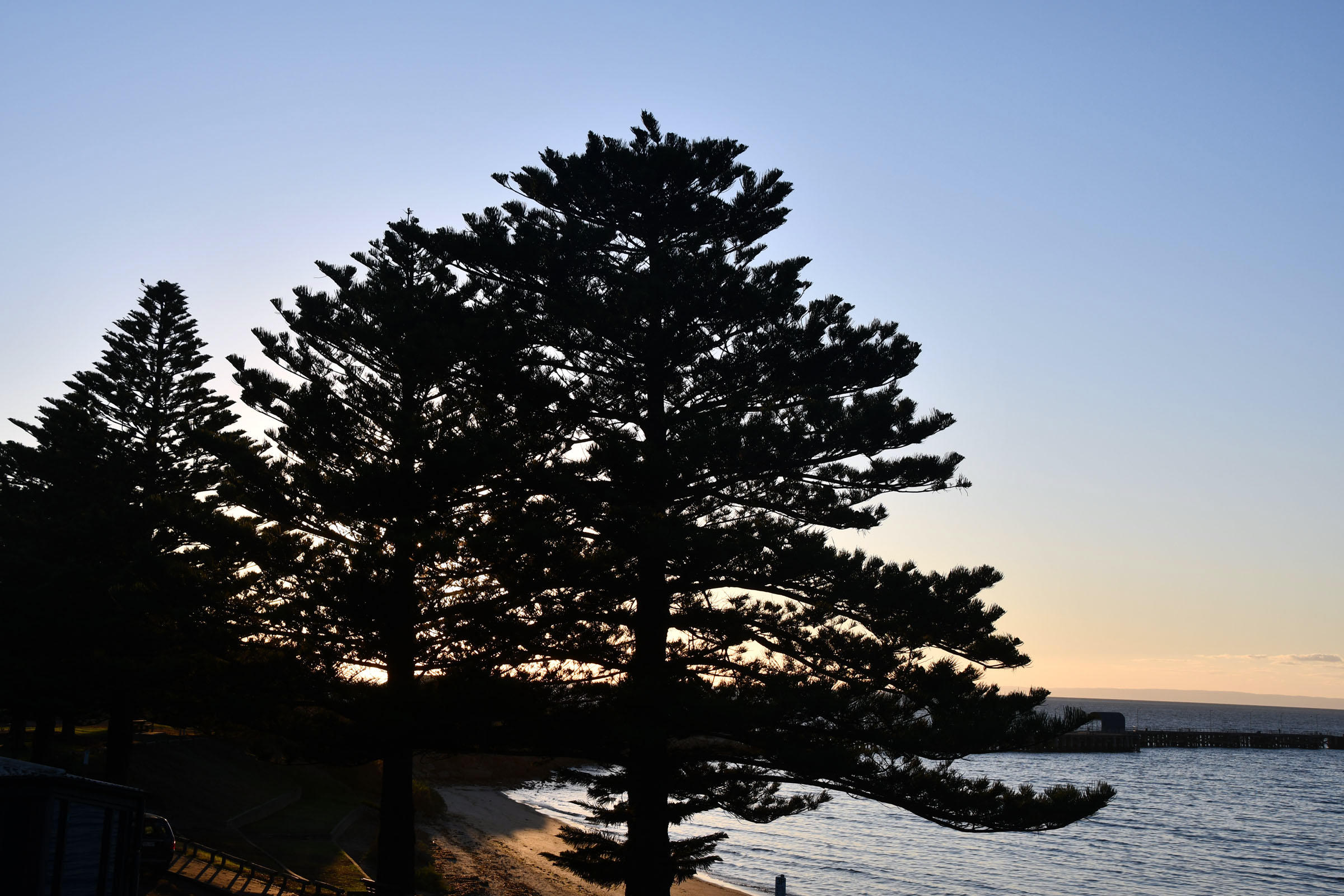
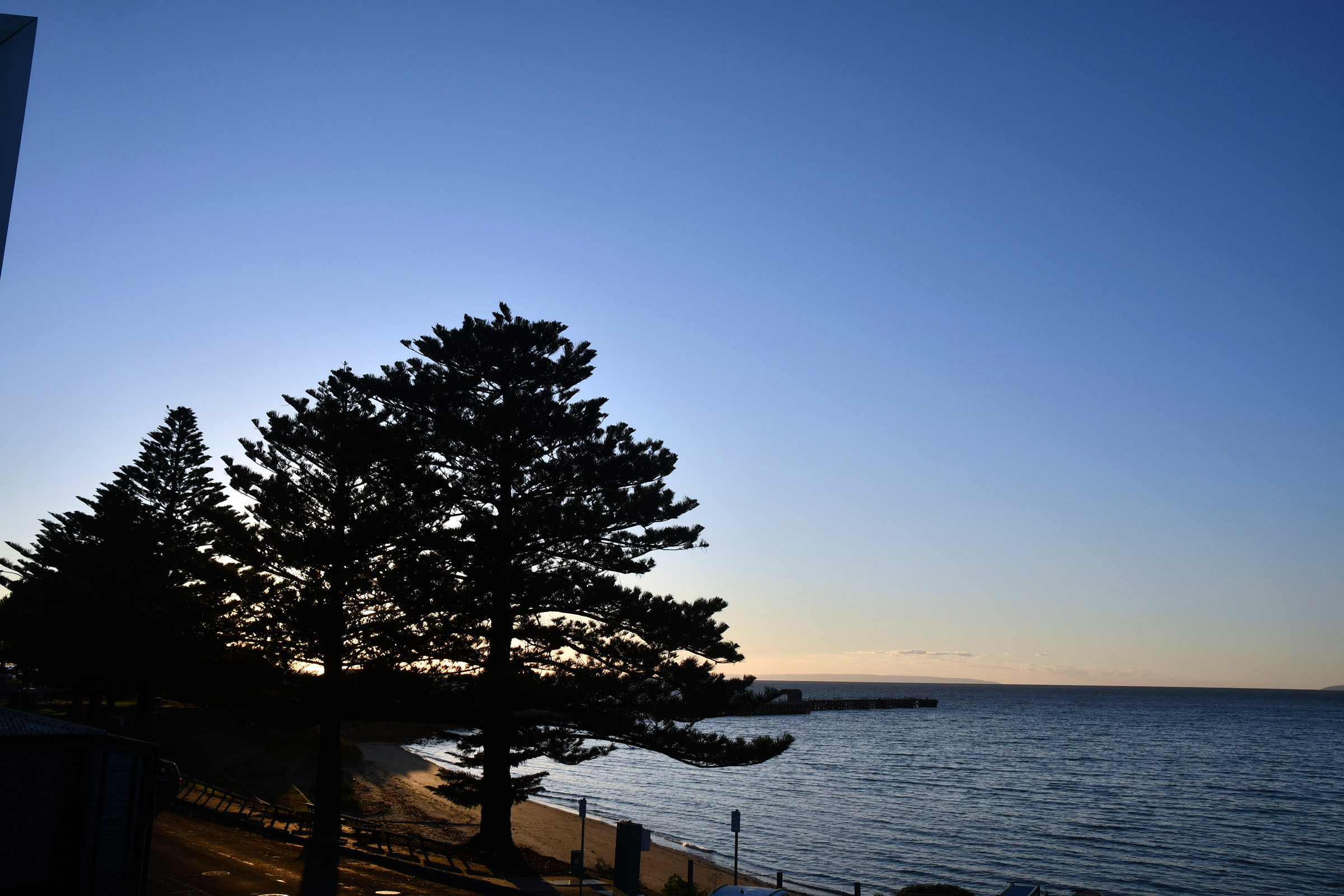
| Sunrise over Kingscote, Kangaroo Island |
|
|
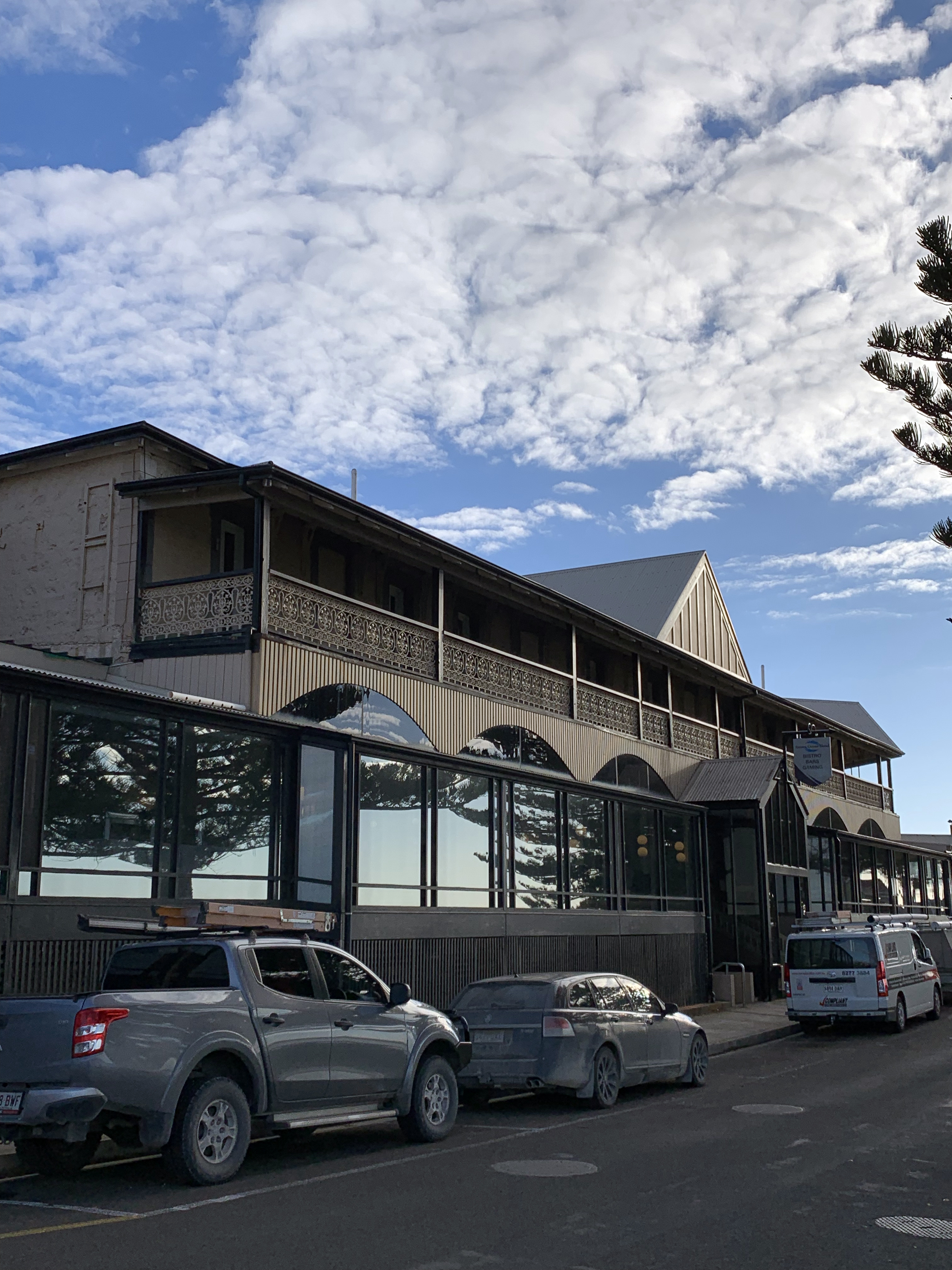
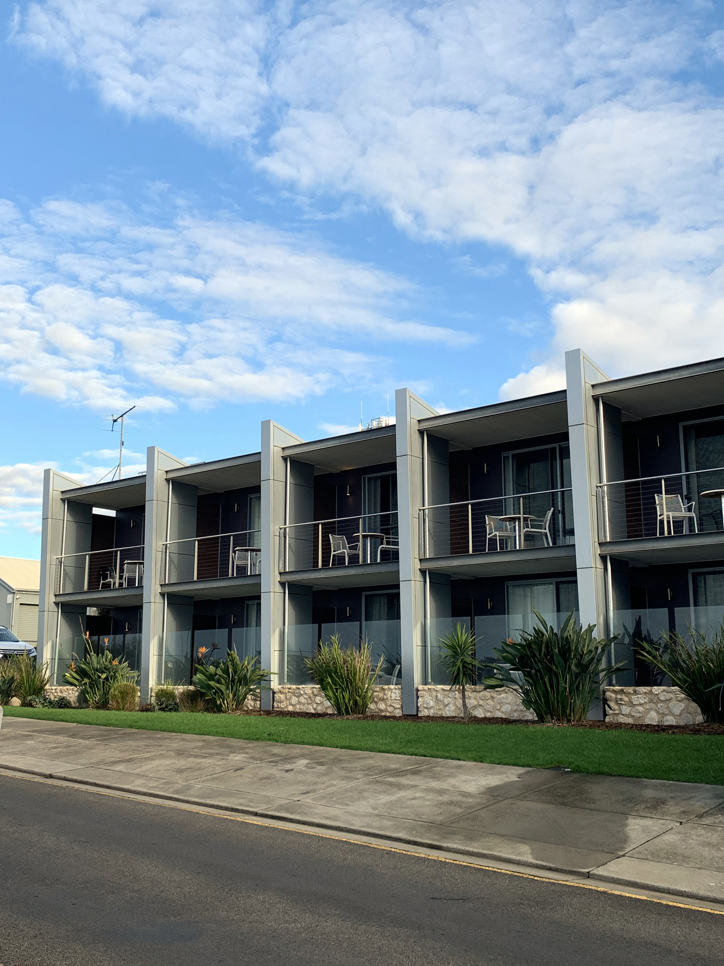
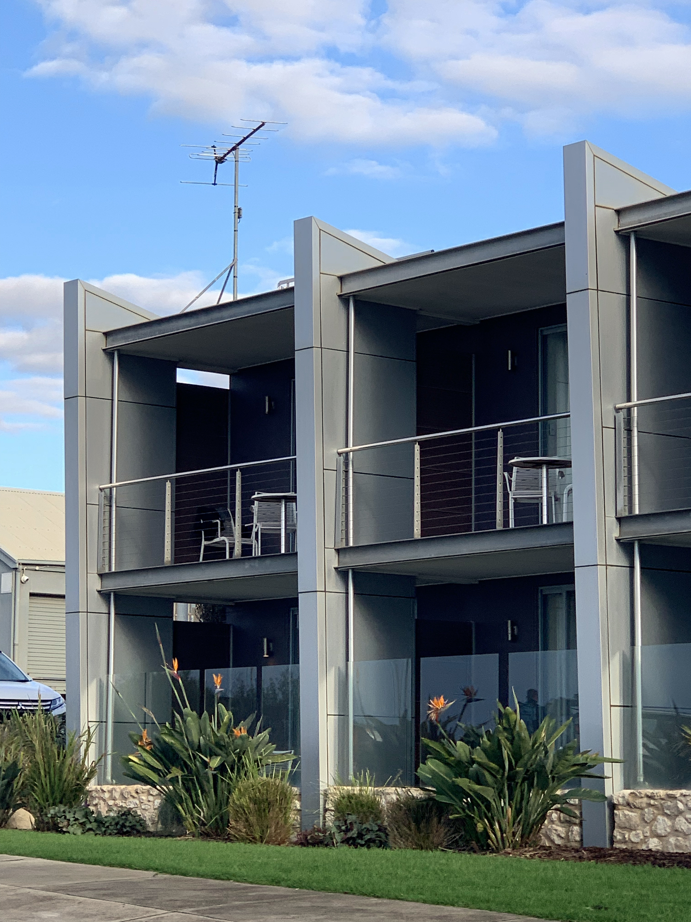
| The Ozone Hotel in the early morning light |
The new accommodation wing, |
with our room top left. |
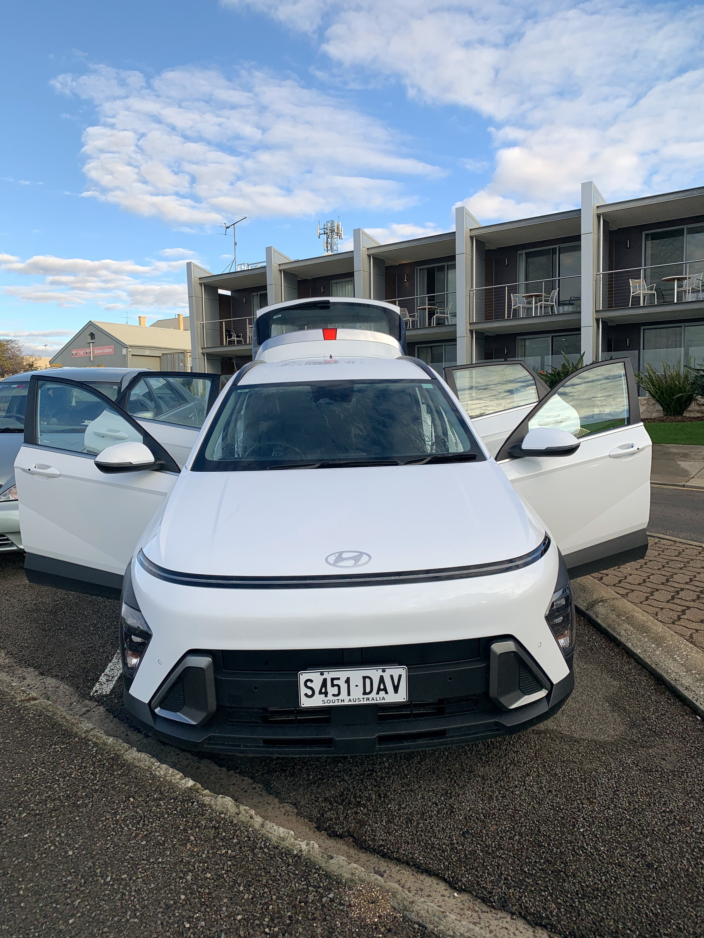
| The rental car in the daylight. An Hyundai with all the bells and whistles - especially the bells as it beeped and chimed continuously. |
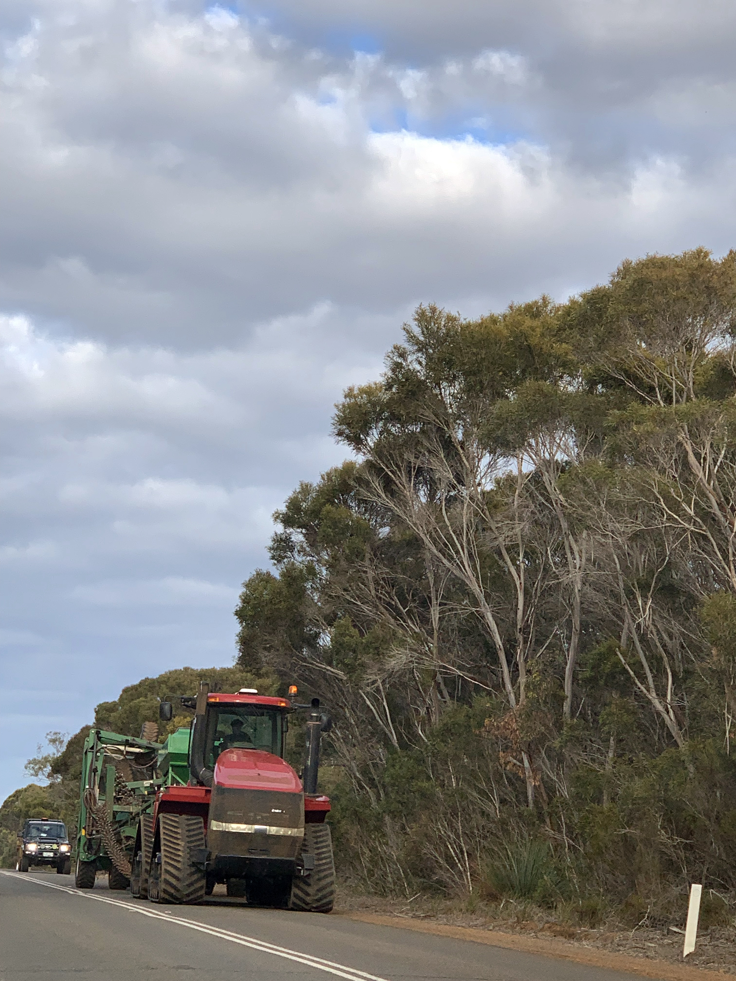
Heading south out of Kingscote.. |
we passed a lot of farm machinery. |
|
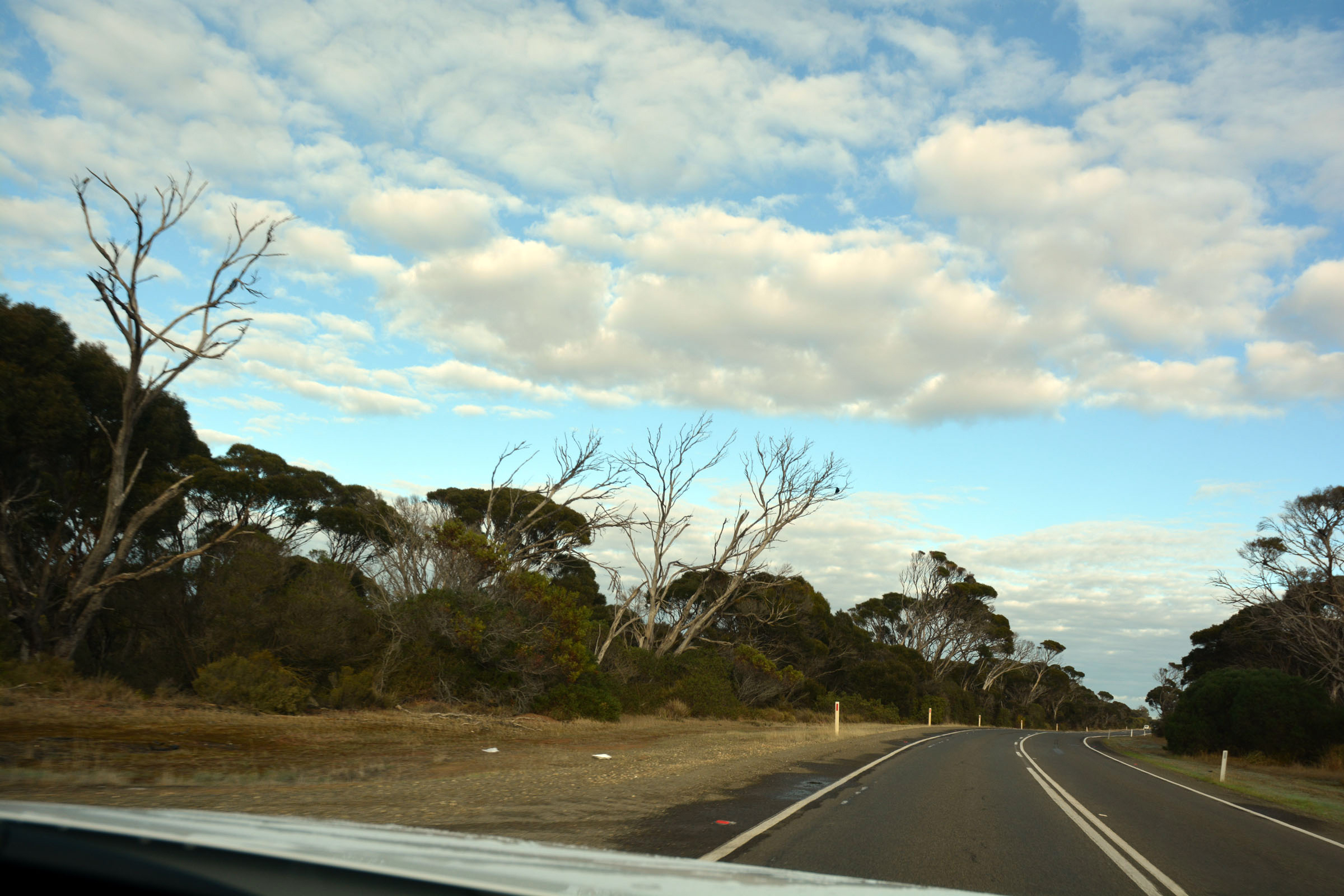
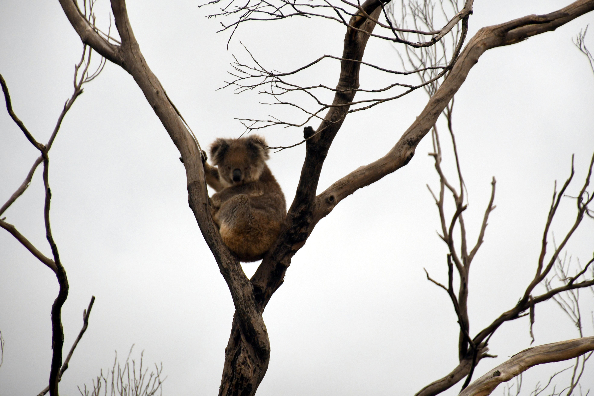
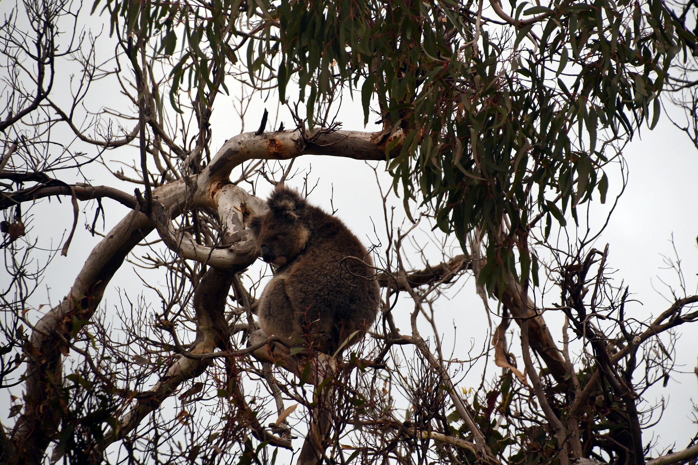
Dead trees - fire victims. |
|
|
|
|
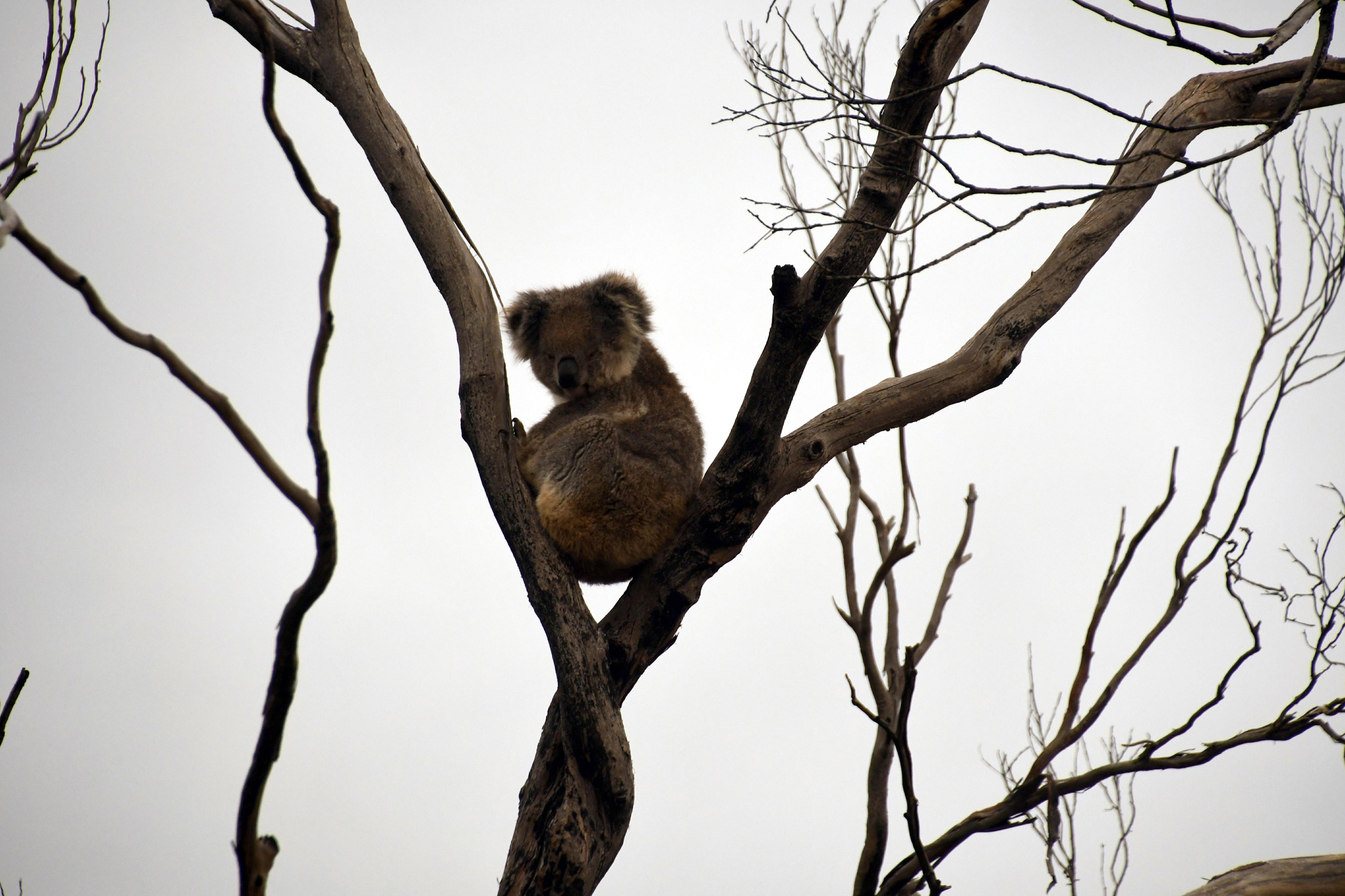
| But the lack of leaves makes it easy to spot the koalas. |
|
|
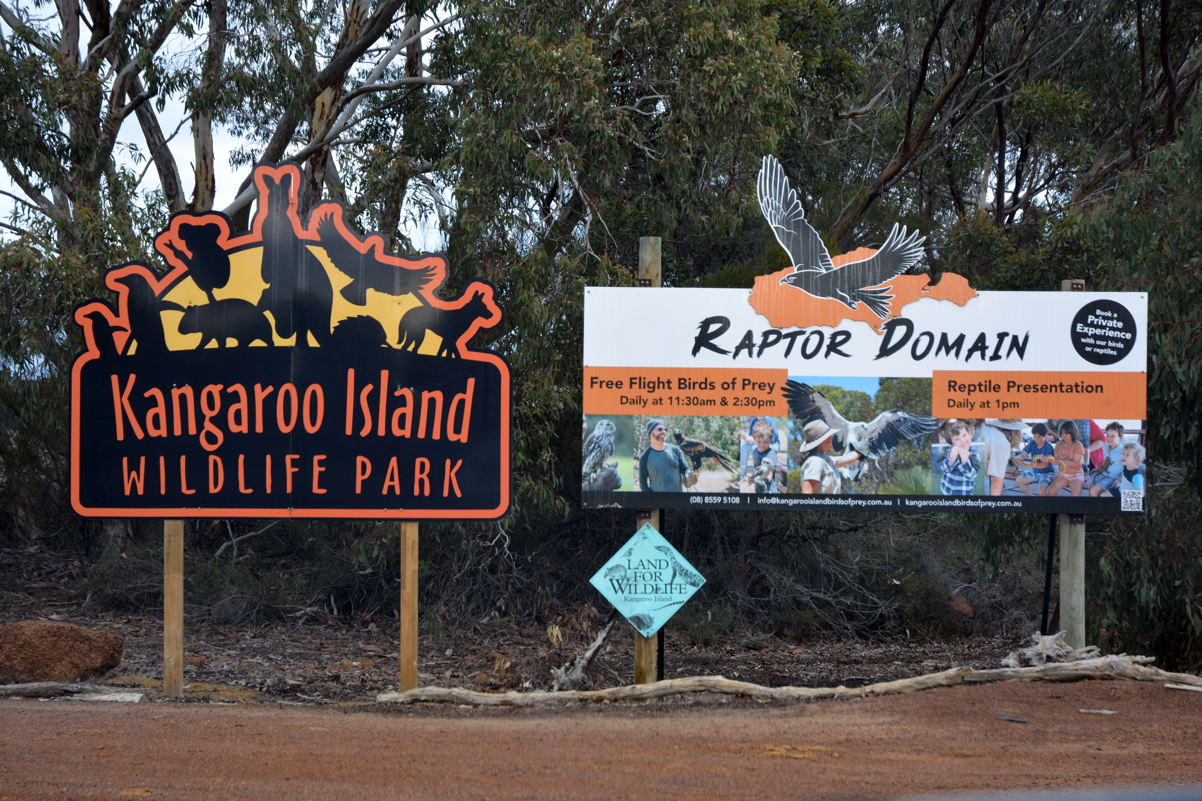
| KI Wildlife Park - we will be back here in the morning. |
|
|
|
|
|
| Flinders Chase Visitor Centre ahead. |
|
|
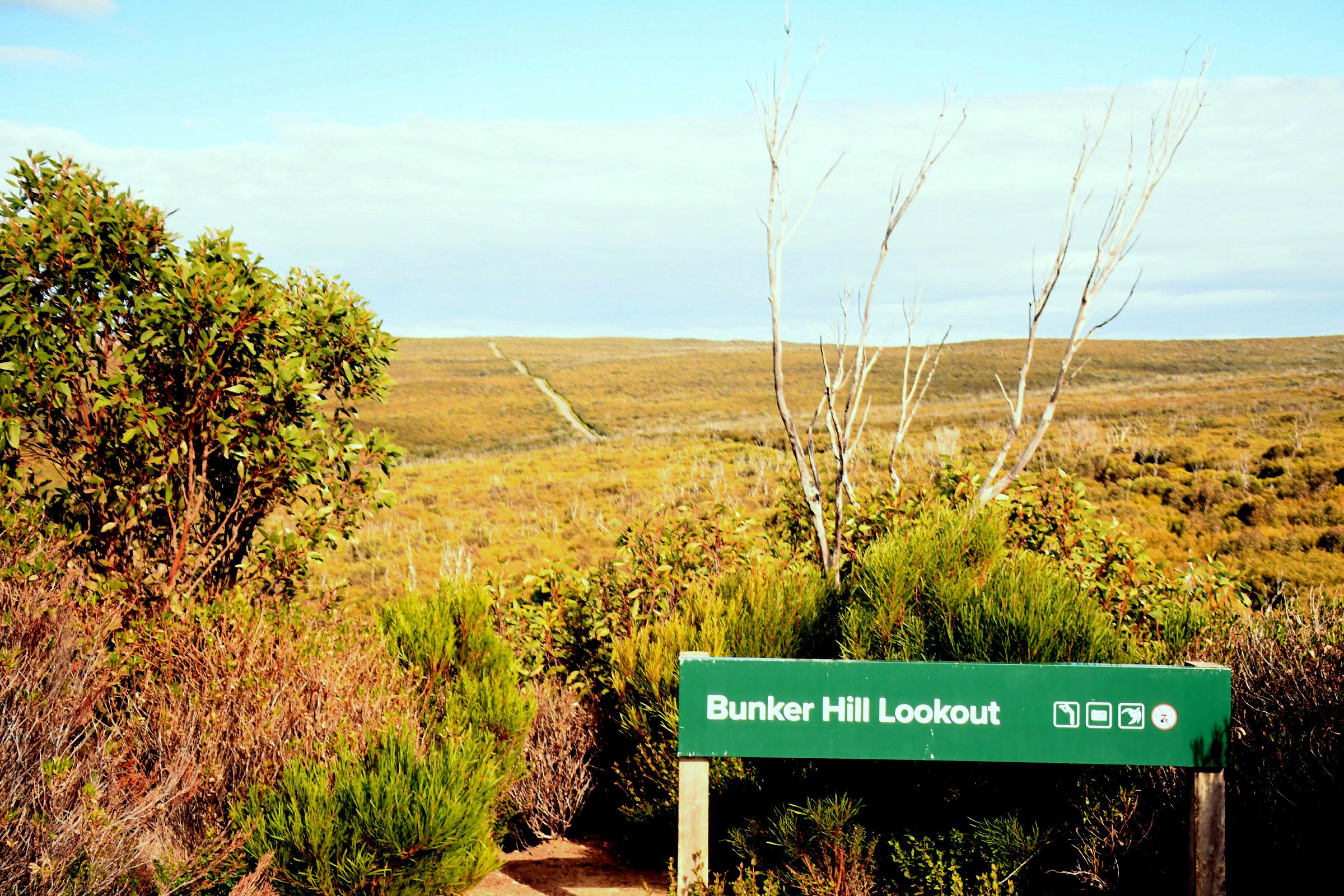
Flinders Chase National Park - Bunker Hill
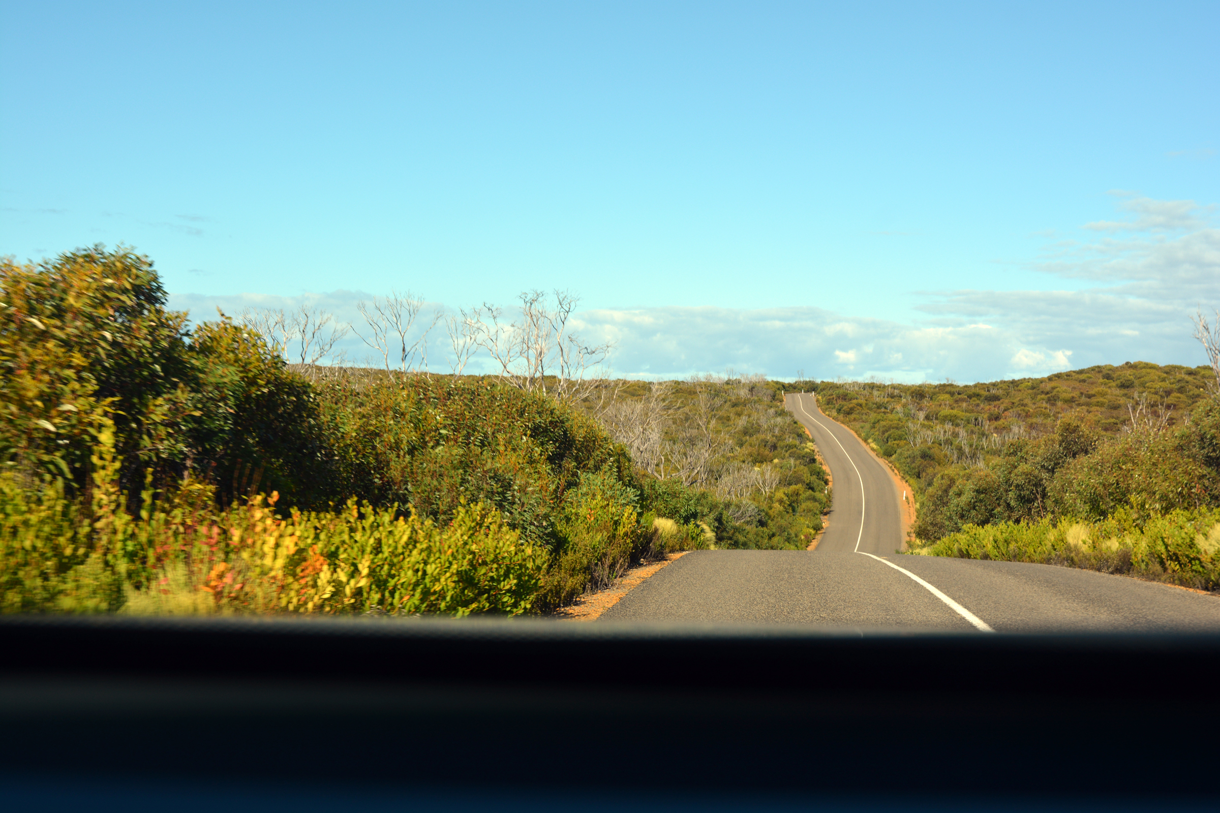
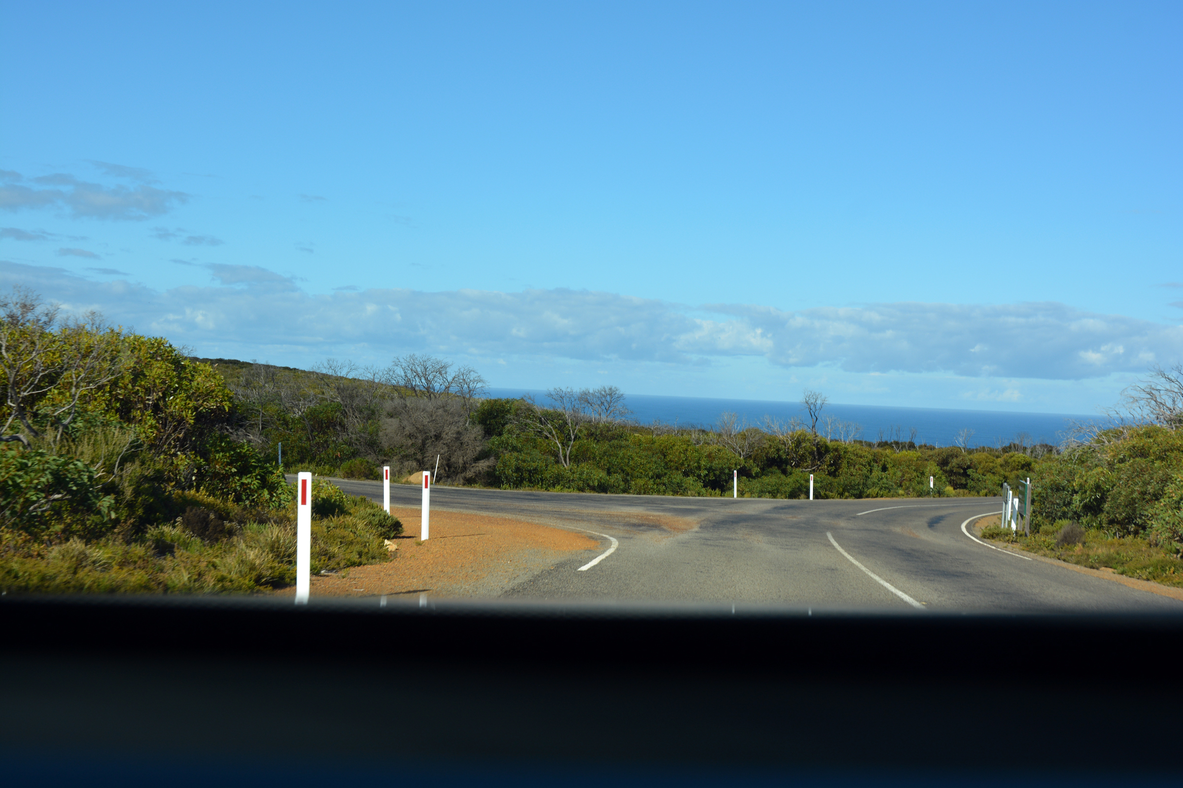
After paying our park entry fees we followed the road south to Bunker Hill. This is high point on the road, with good views south to the coast.
| The new visitor centre |
Turn left. |
Entrance to Flinders Chase |
| Flinders Chase Visitors Centre ahead. |
|
|
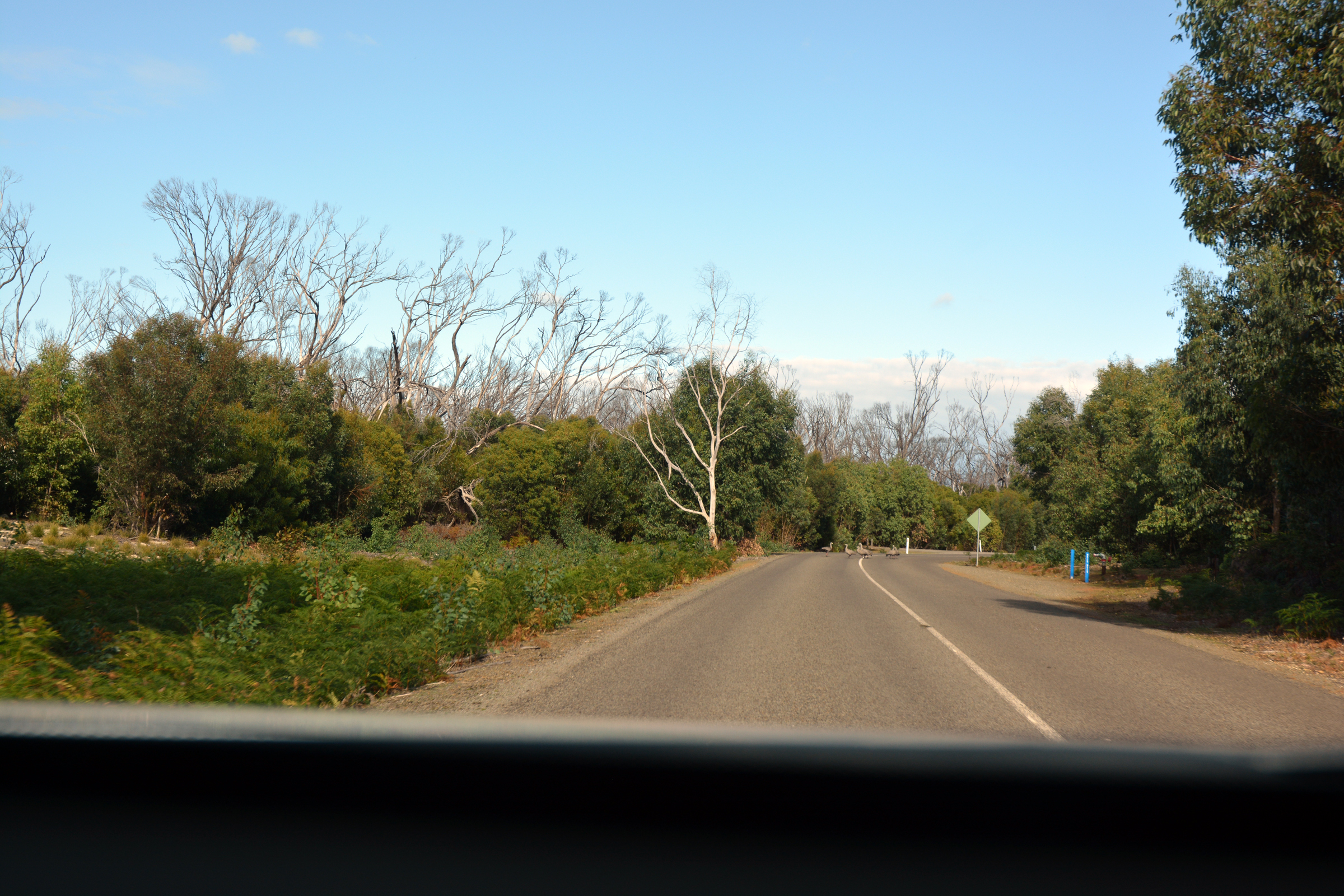
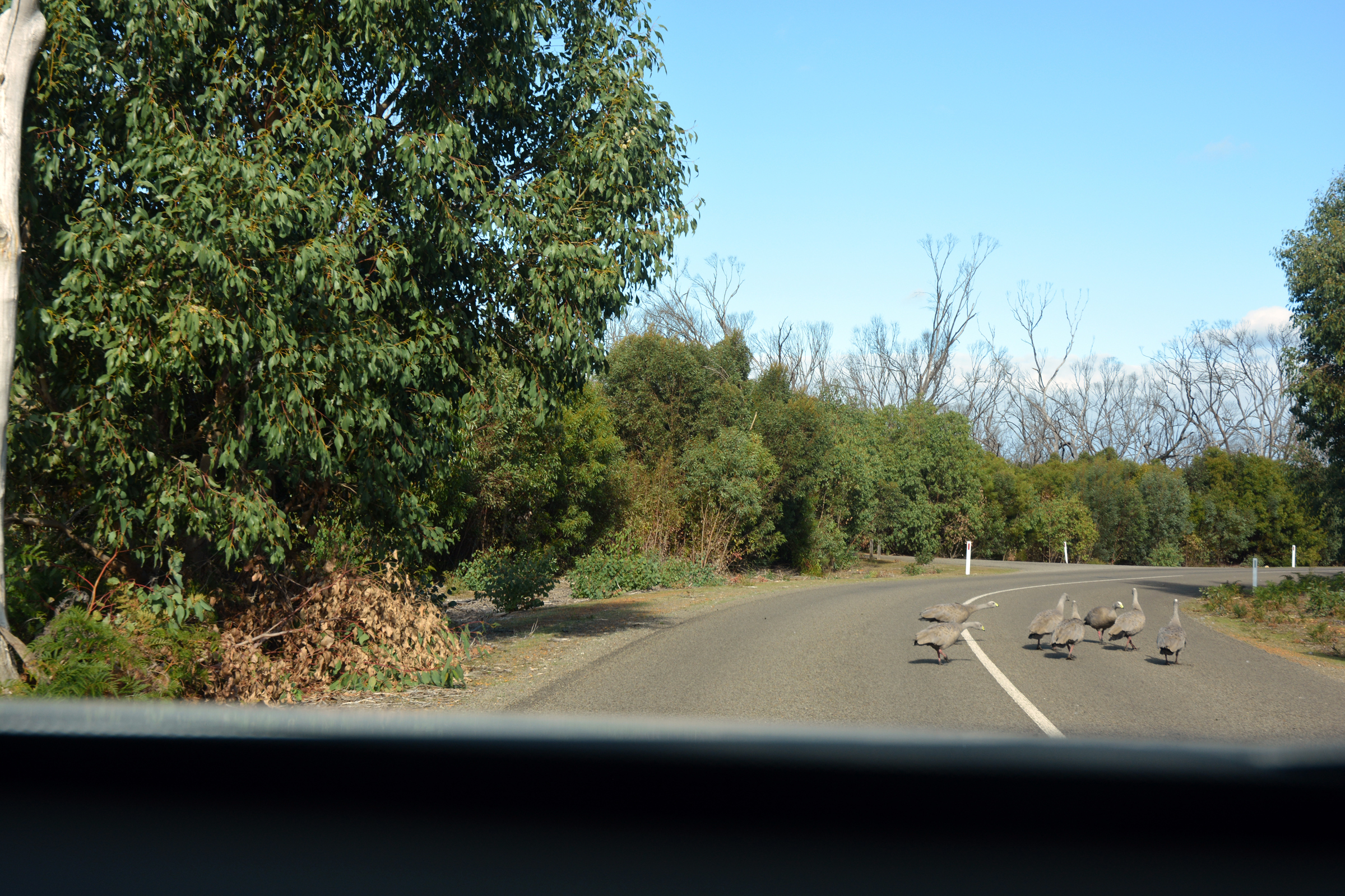
| "There's something on the road ahead" |
Cape Barren geese! |
|
| After the fire there is plenty of new growth. |
|
|
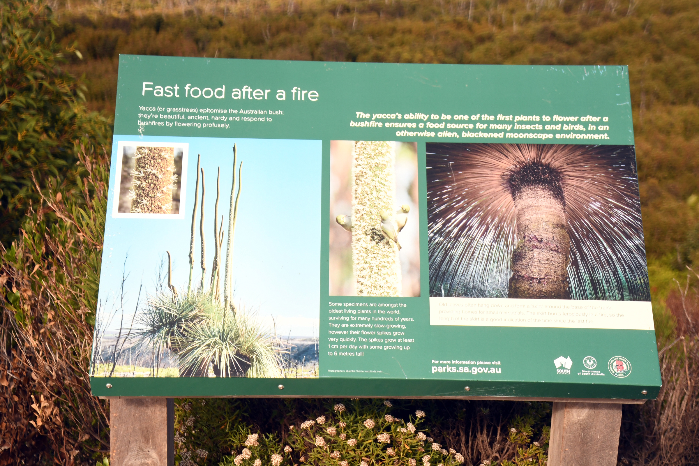
| Bunker Hill Lookout |
Even out here you can find fast food... |
|
|
|
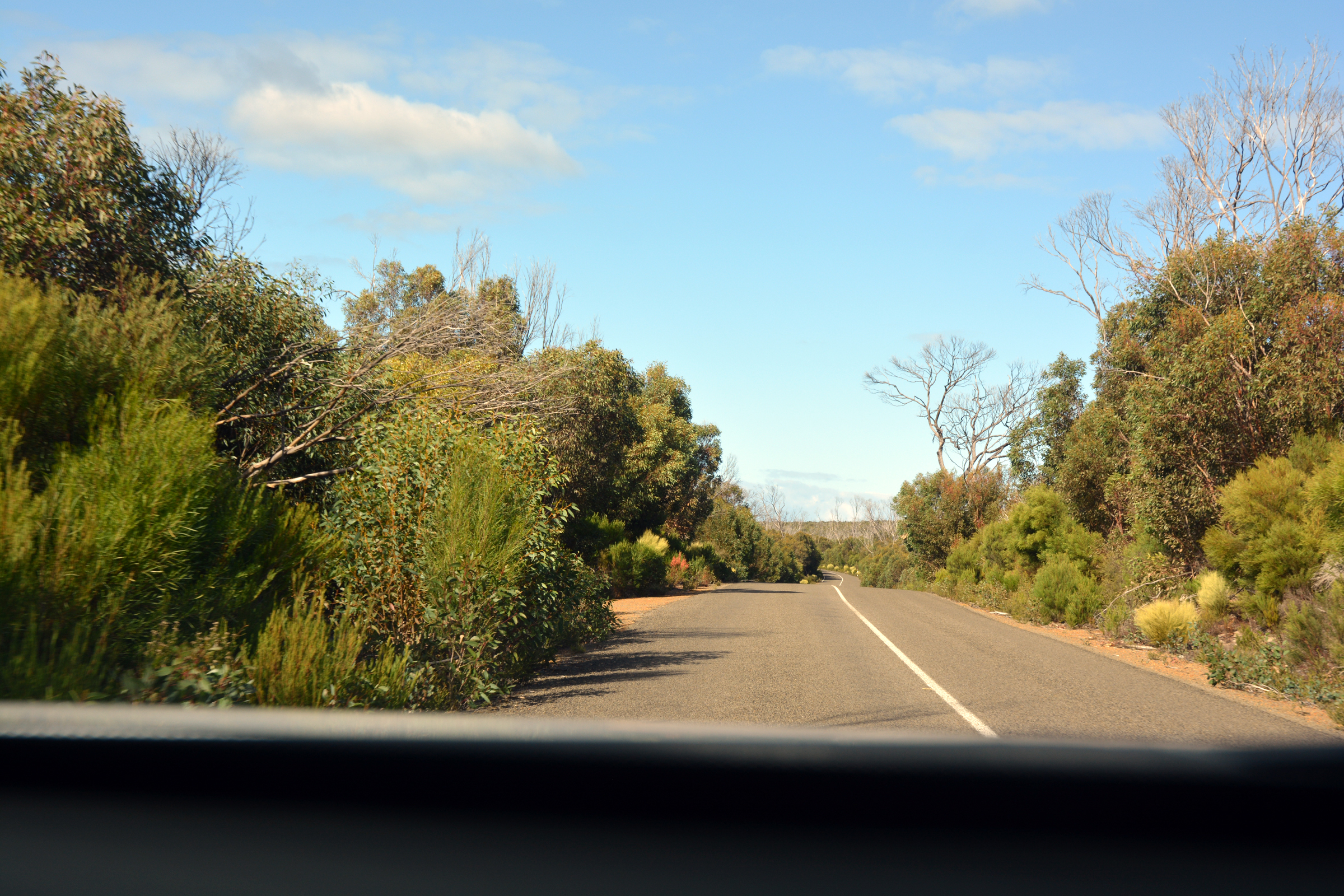
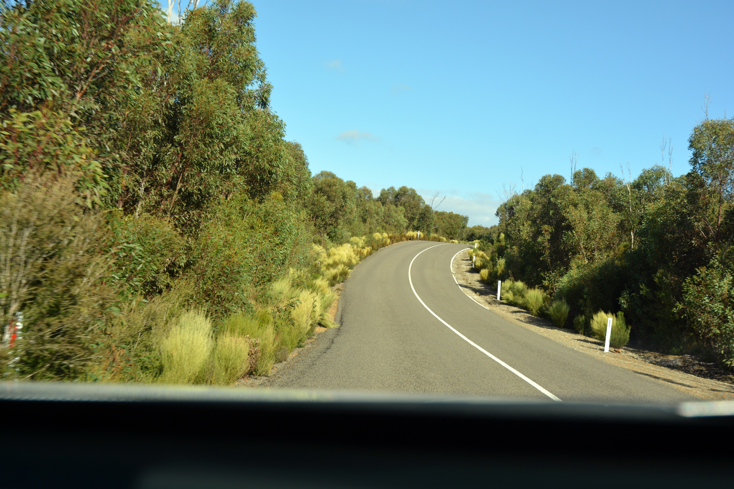
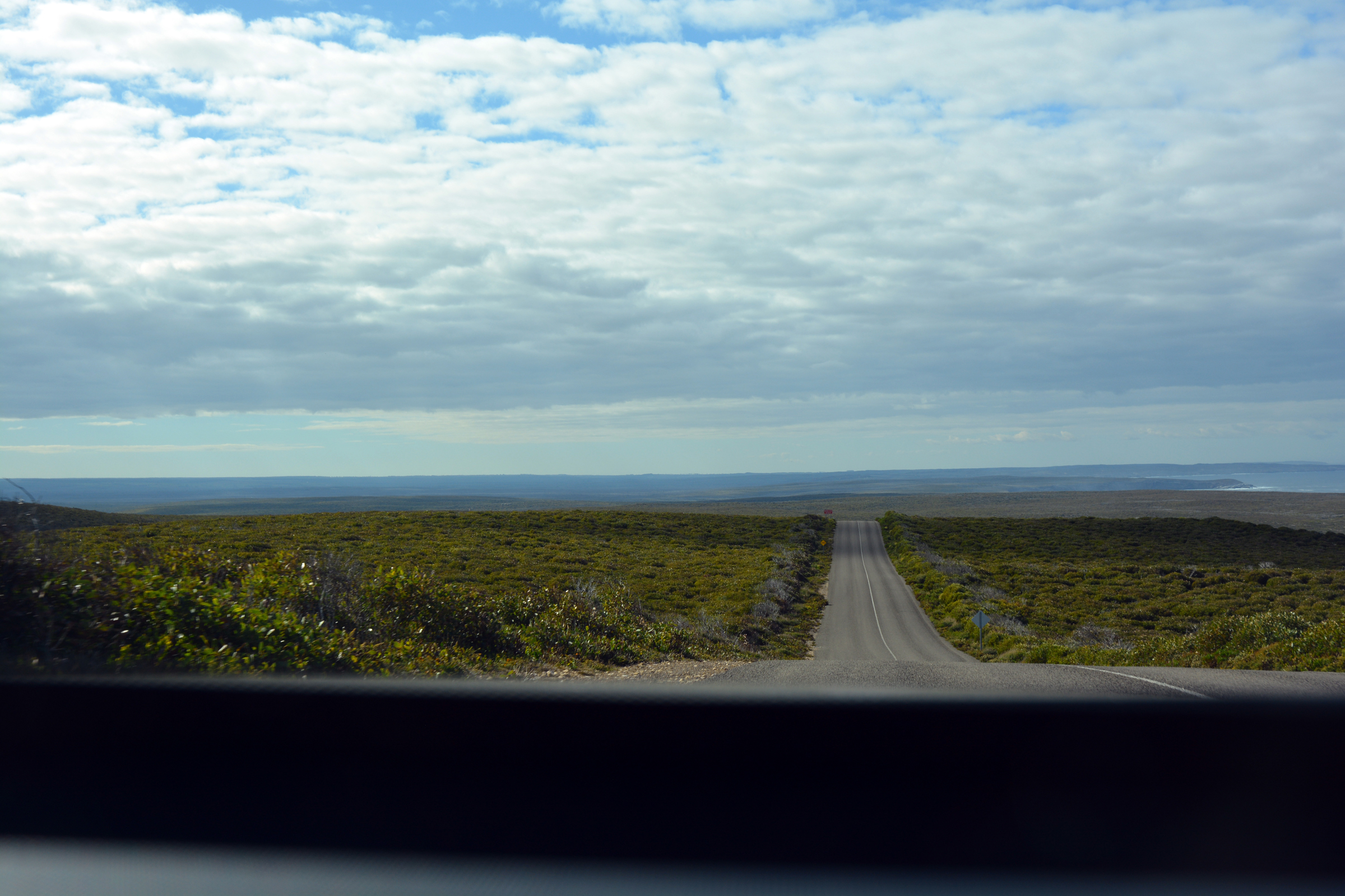
The road goes ever oneard... |
|
|
|
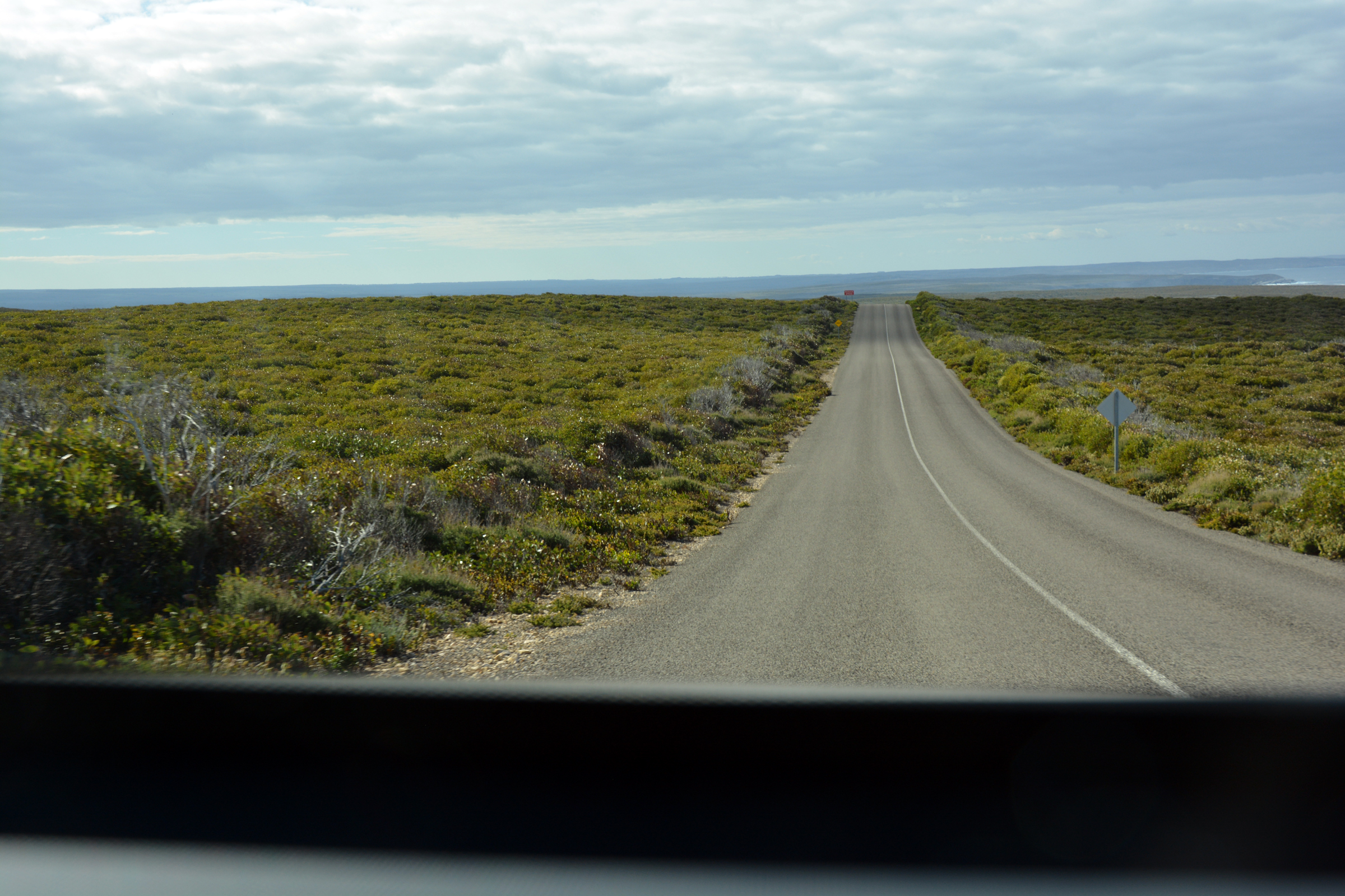
| Turn left to Remarkable Rocks |
|
|
|
|
|
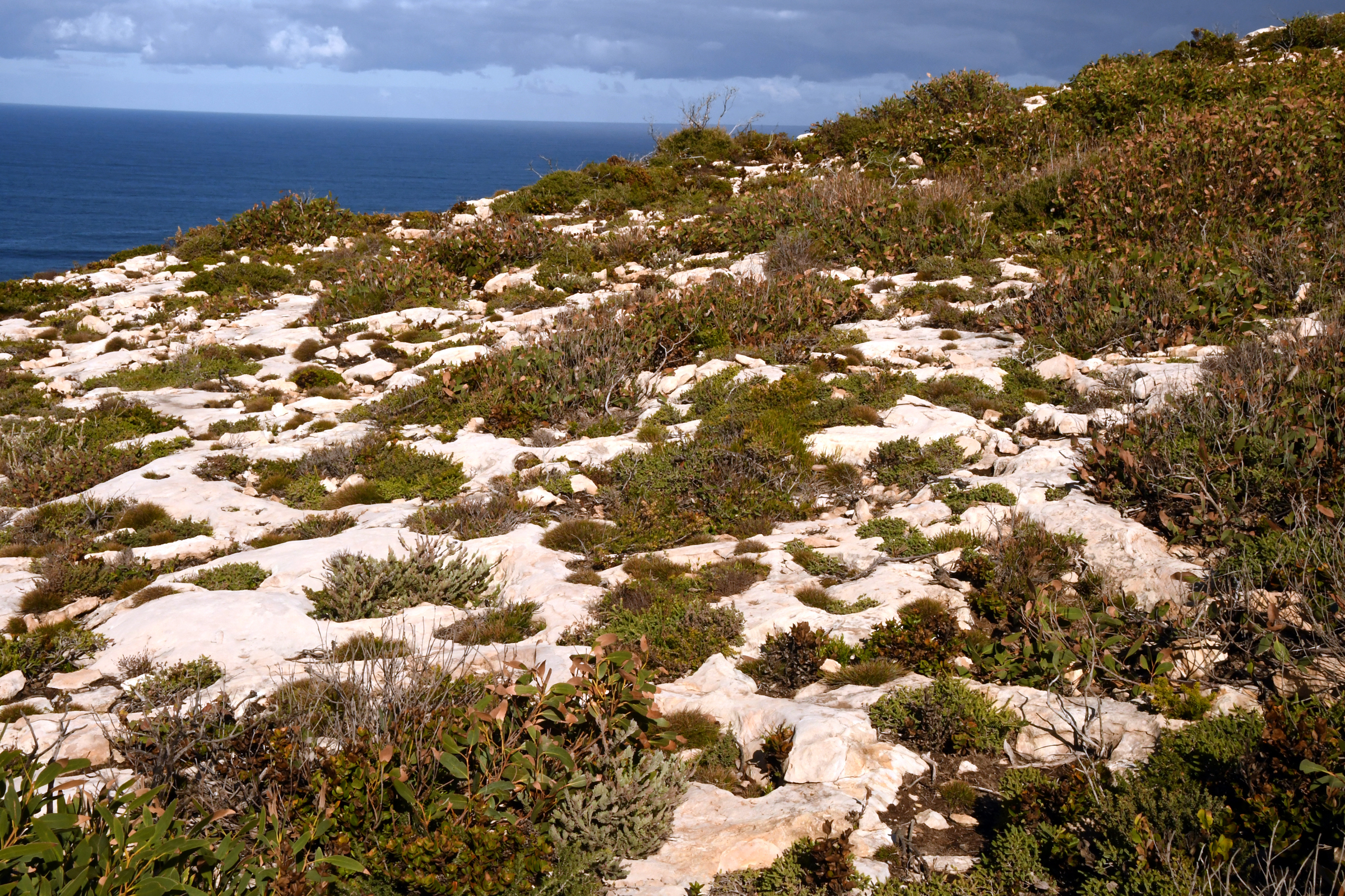
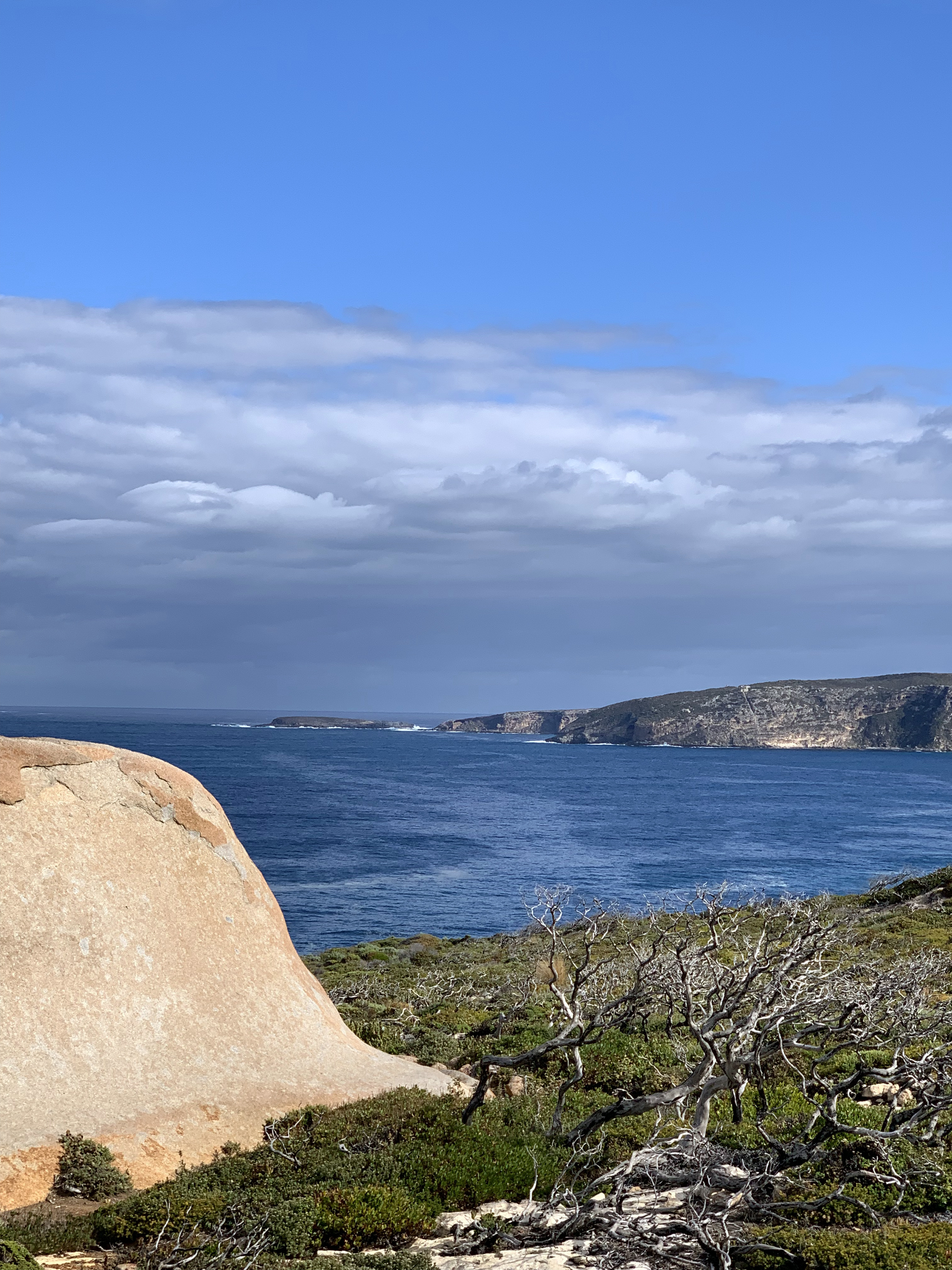
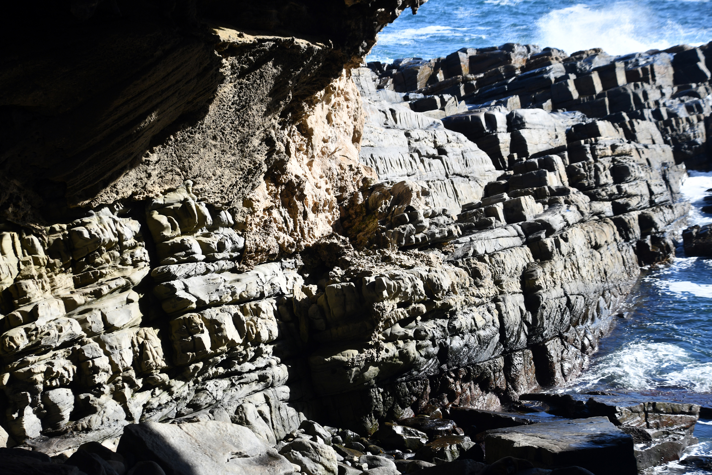
| The limestone pavement lying over the granite |
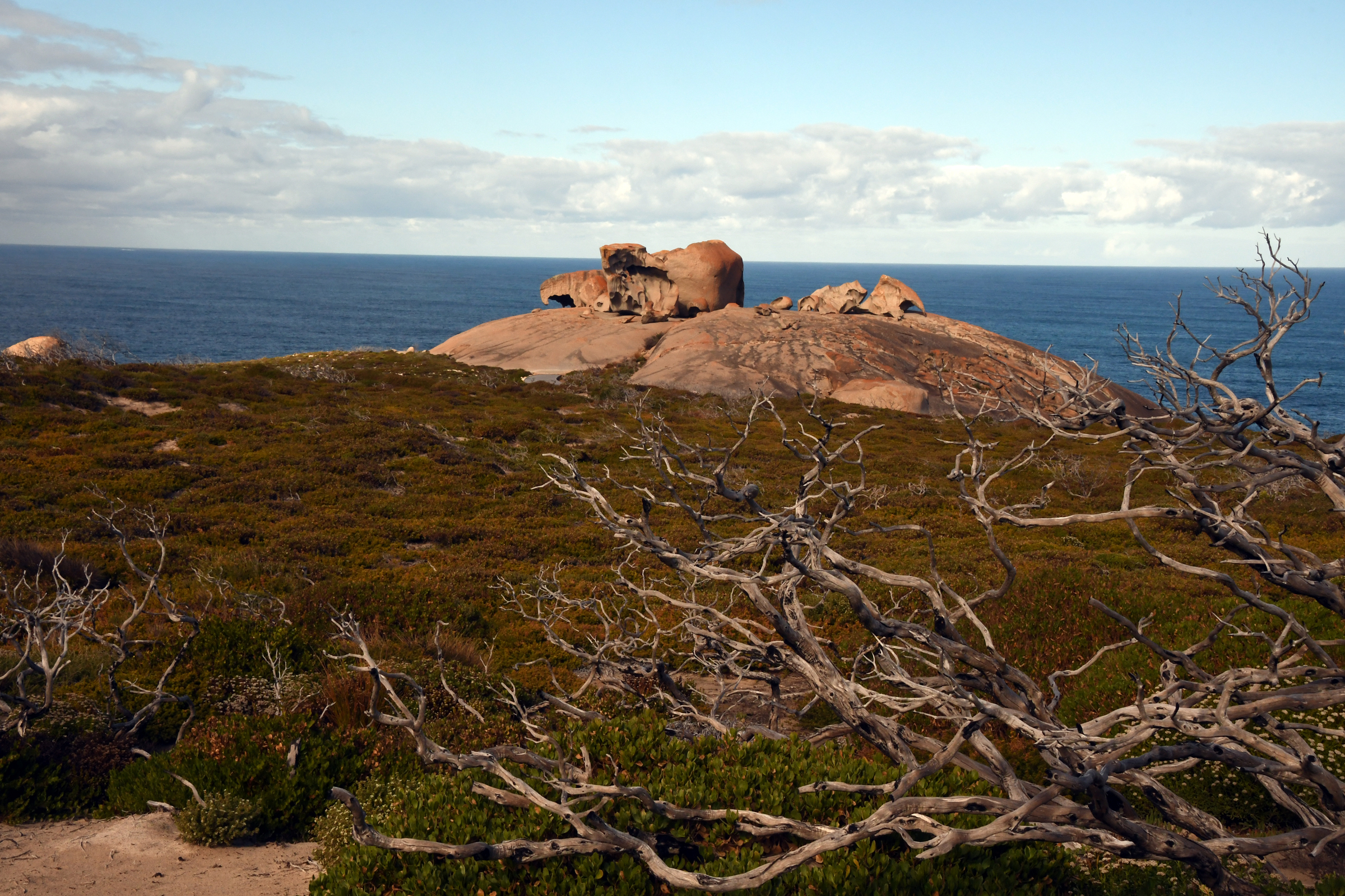
Looking towards the Remarkable Rocks |
And the rocks themselves. |
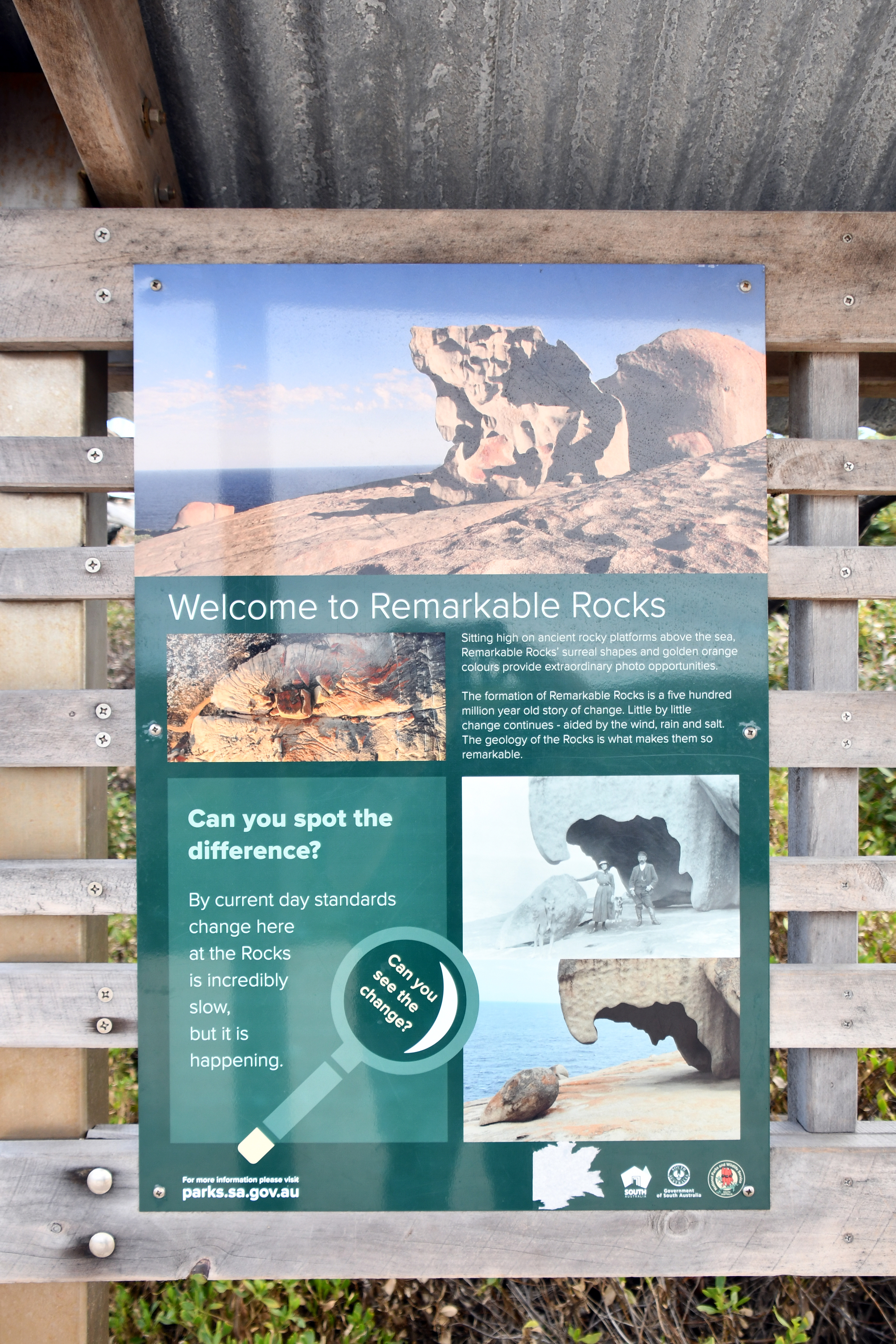
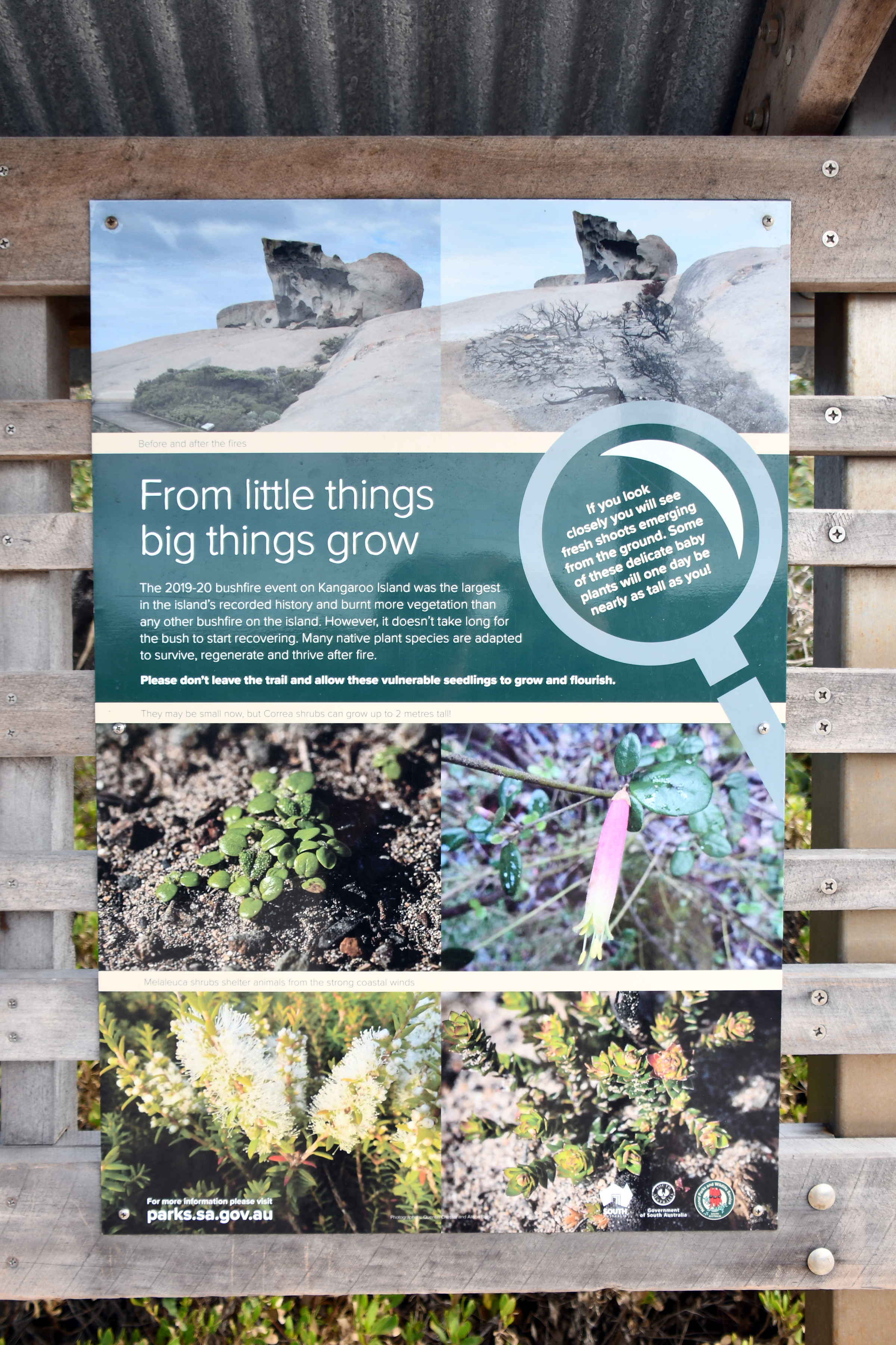
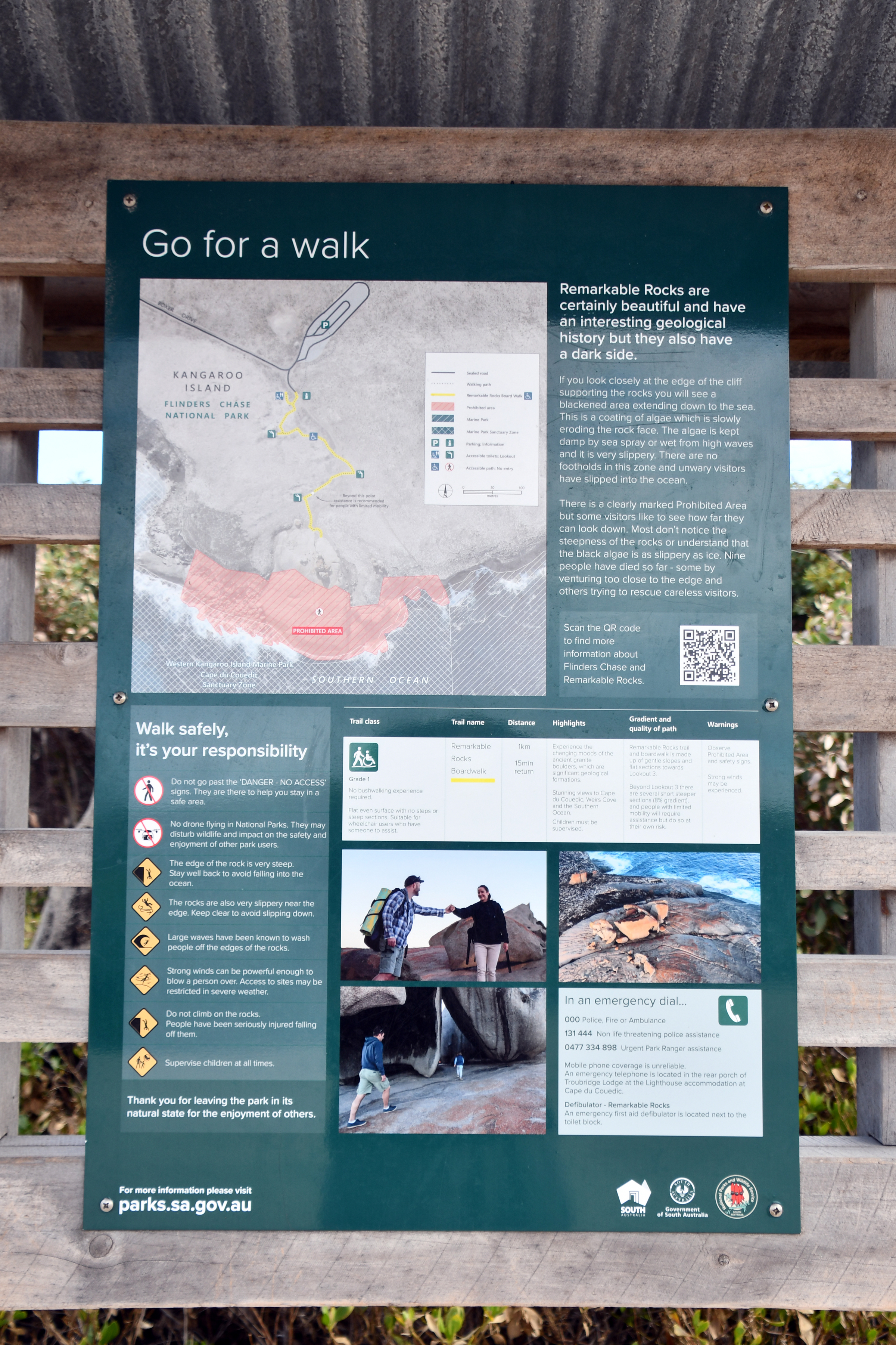
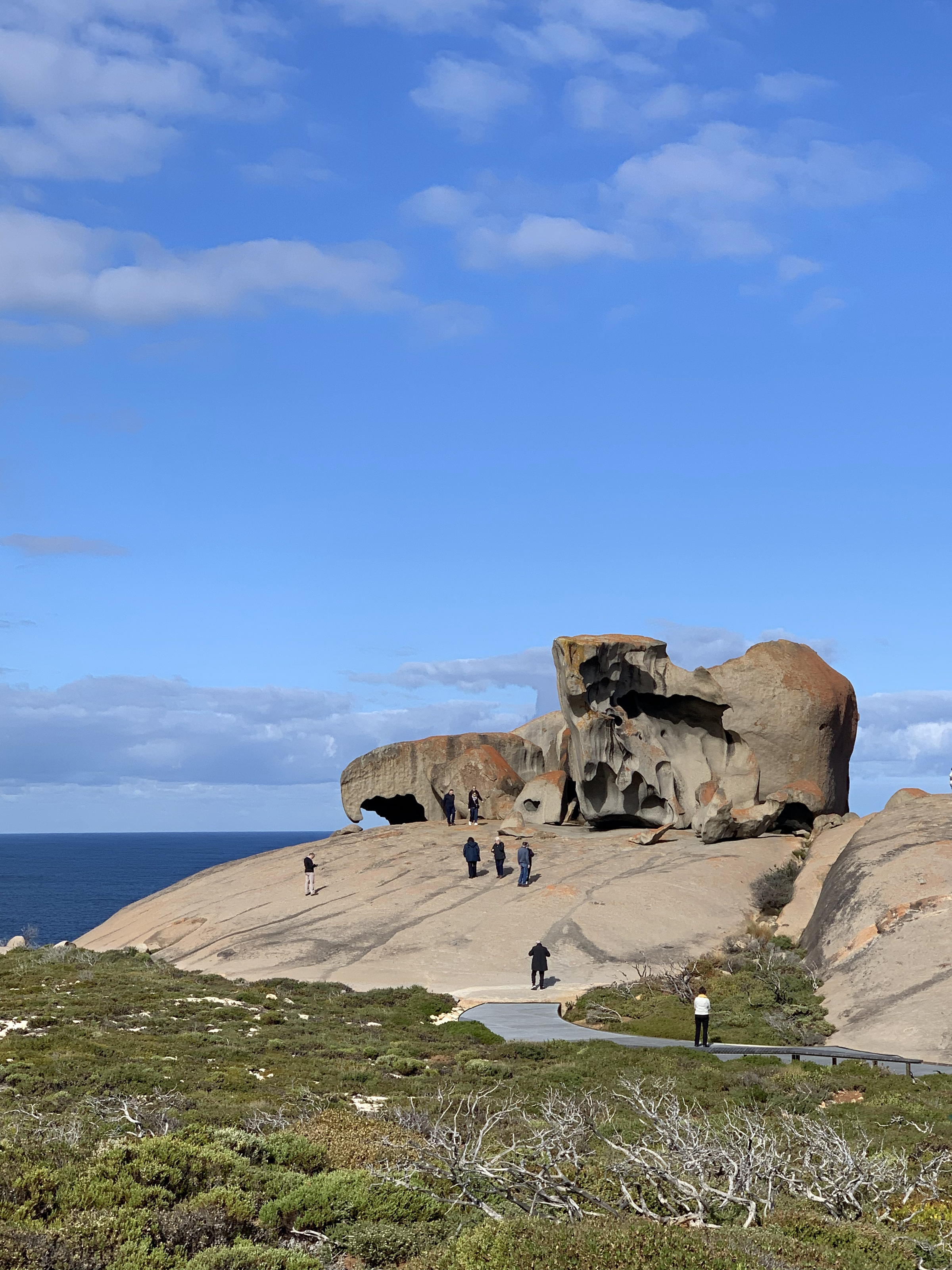
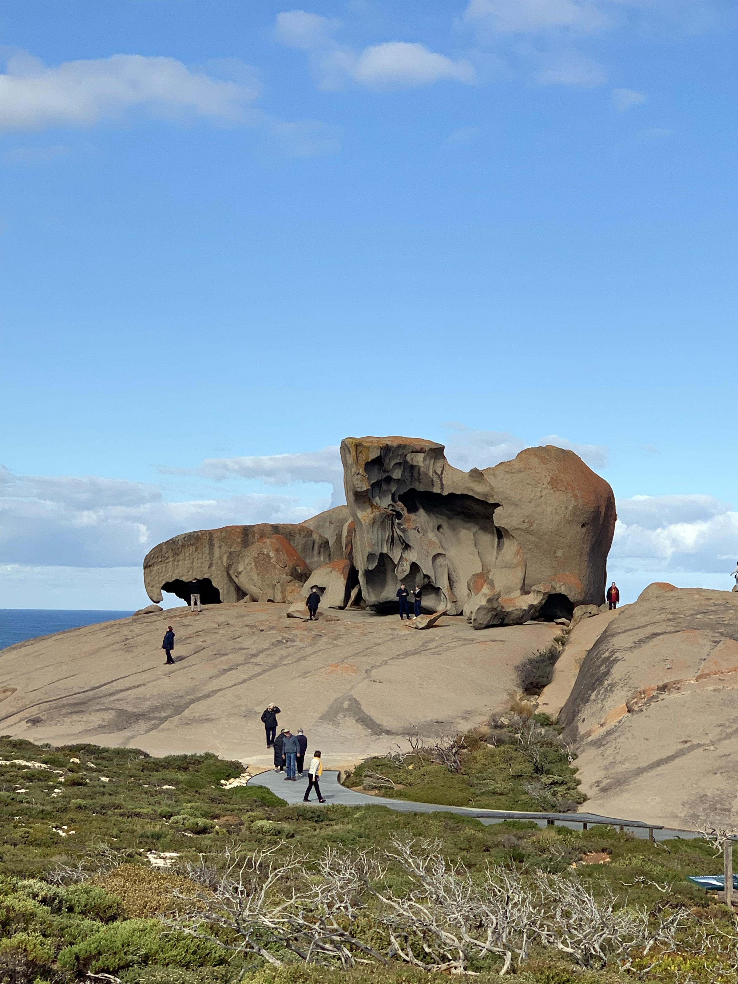
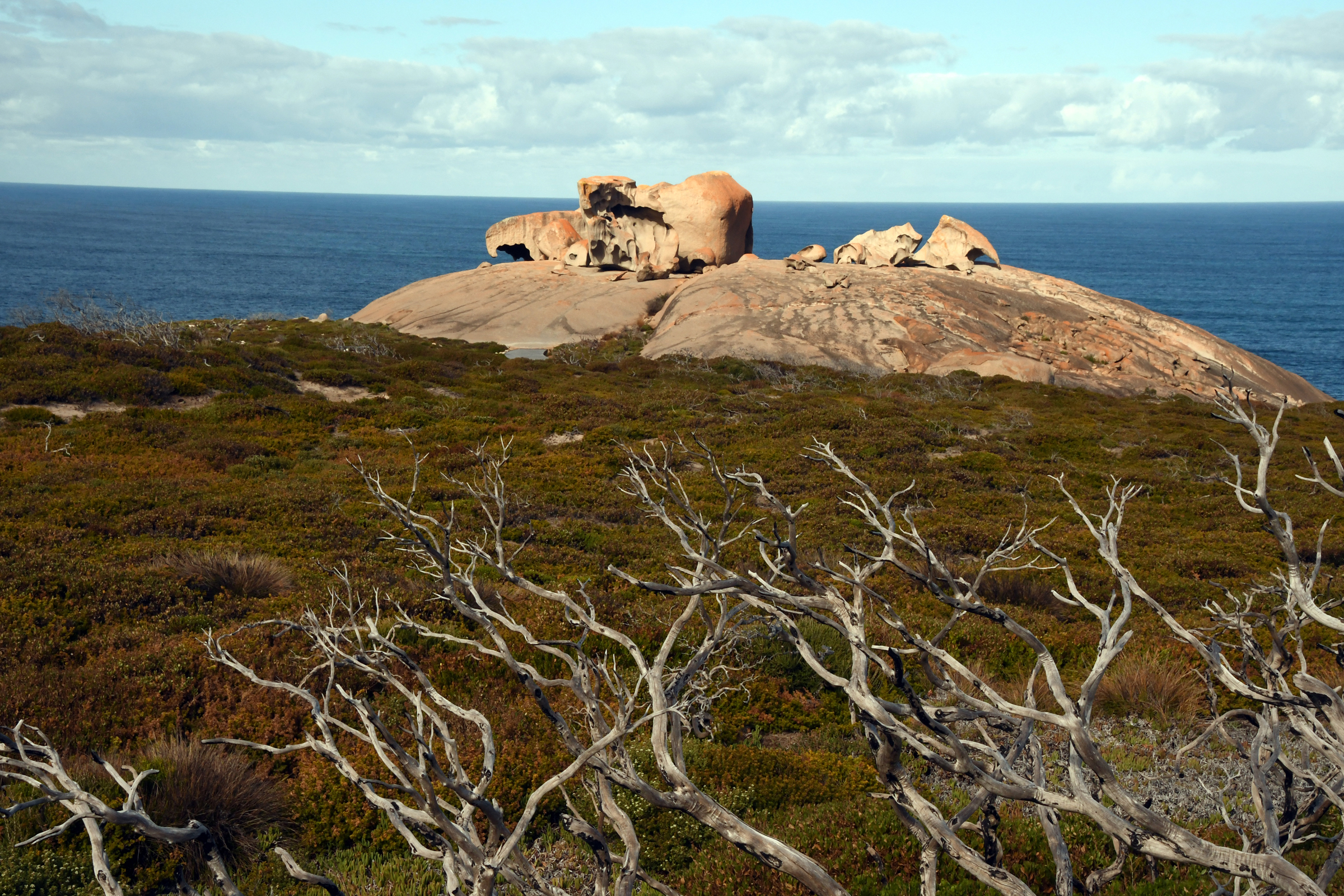
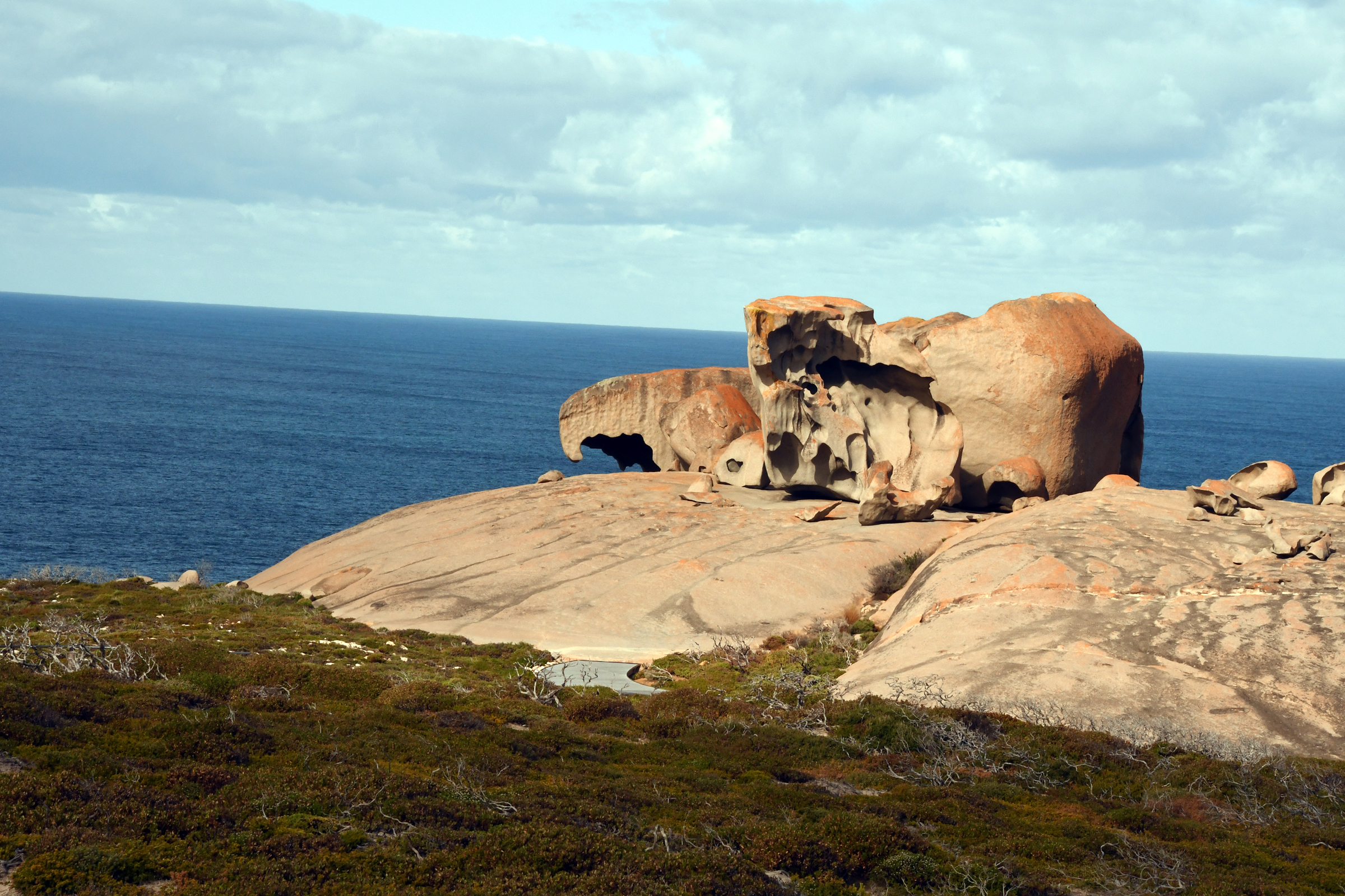
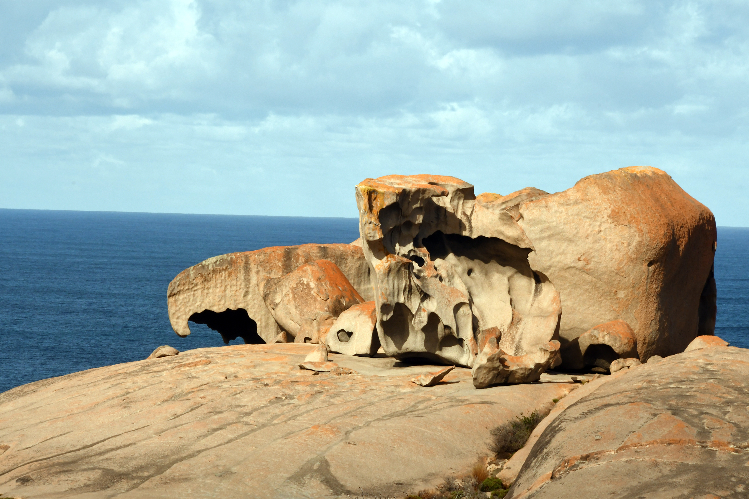
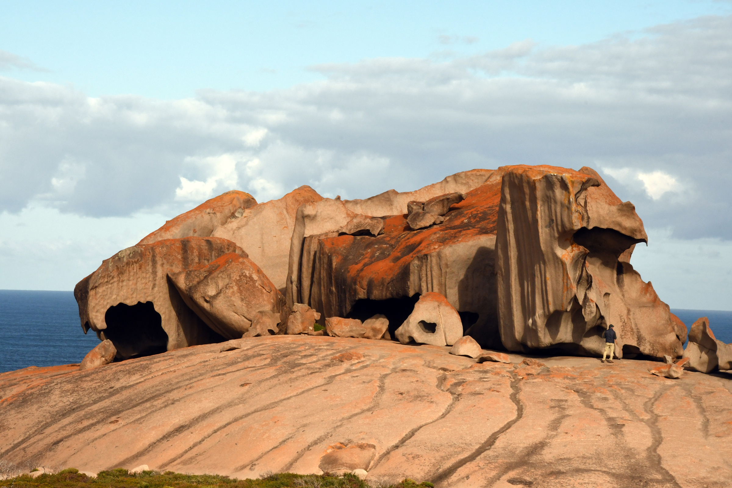
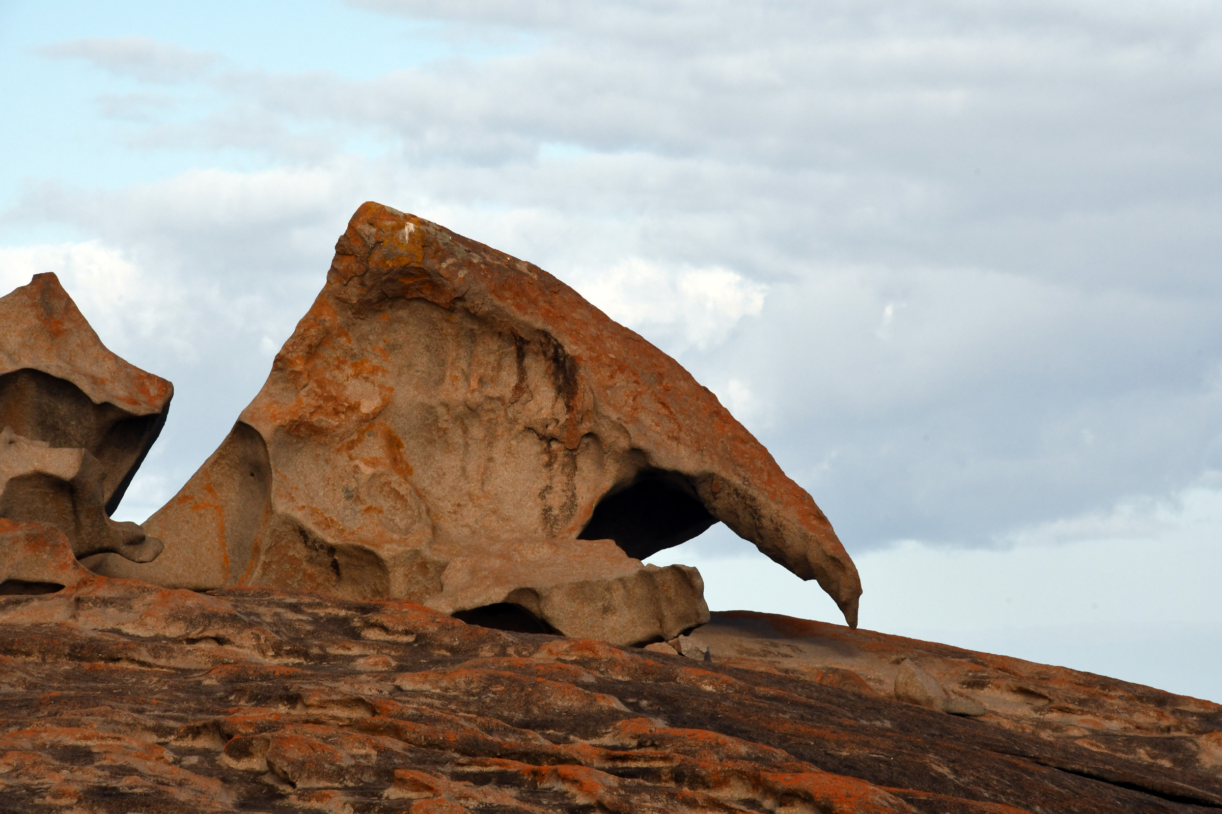
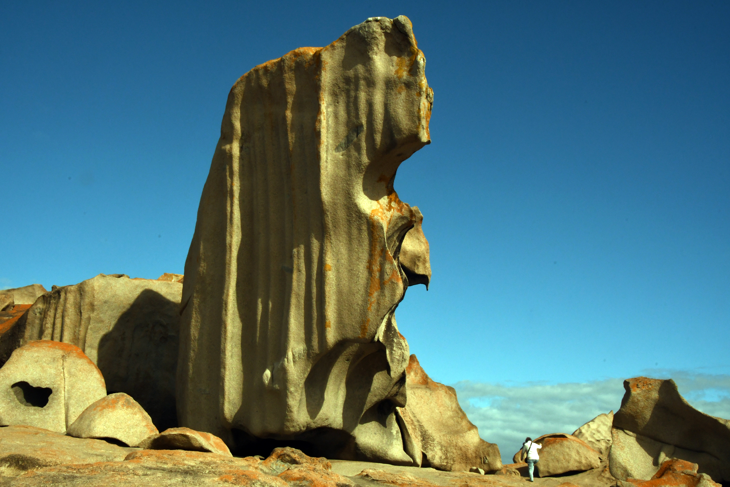
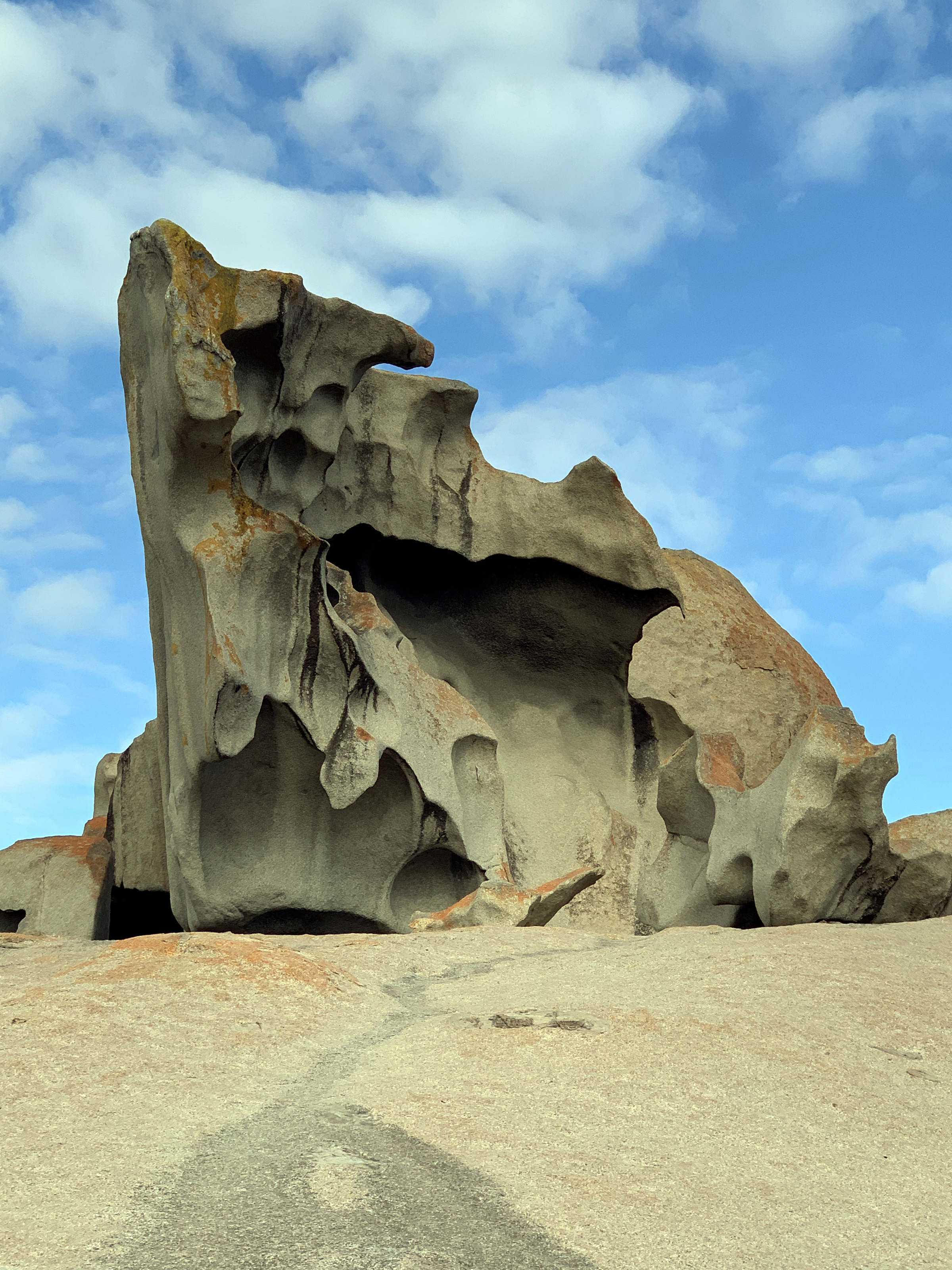
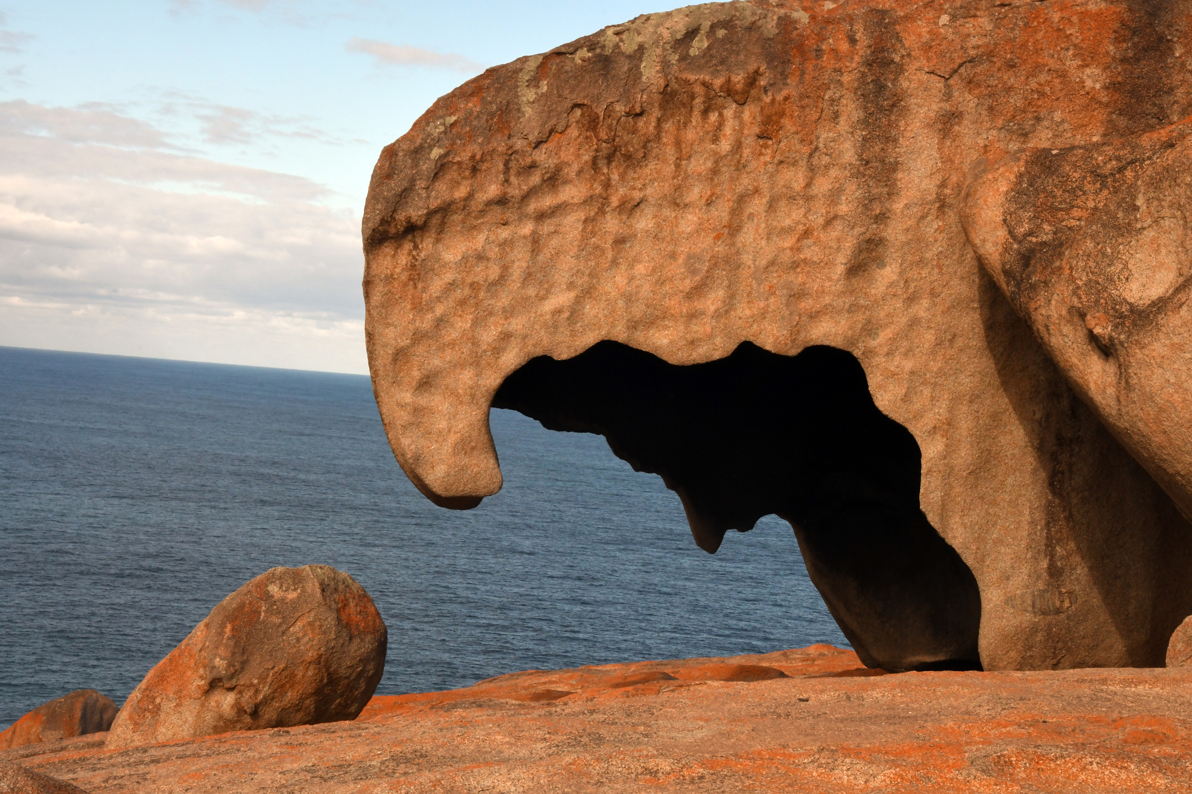
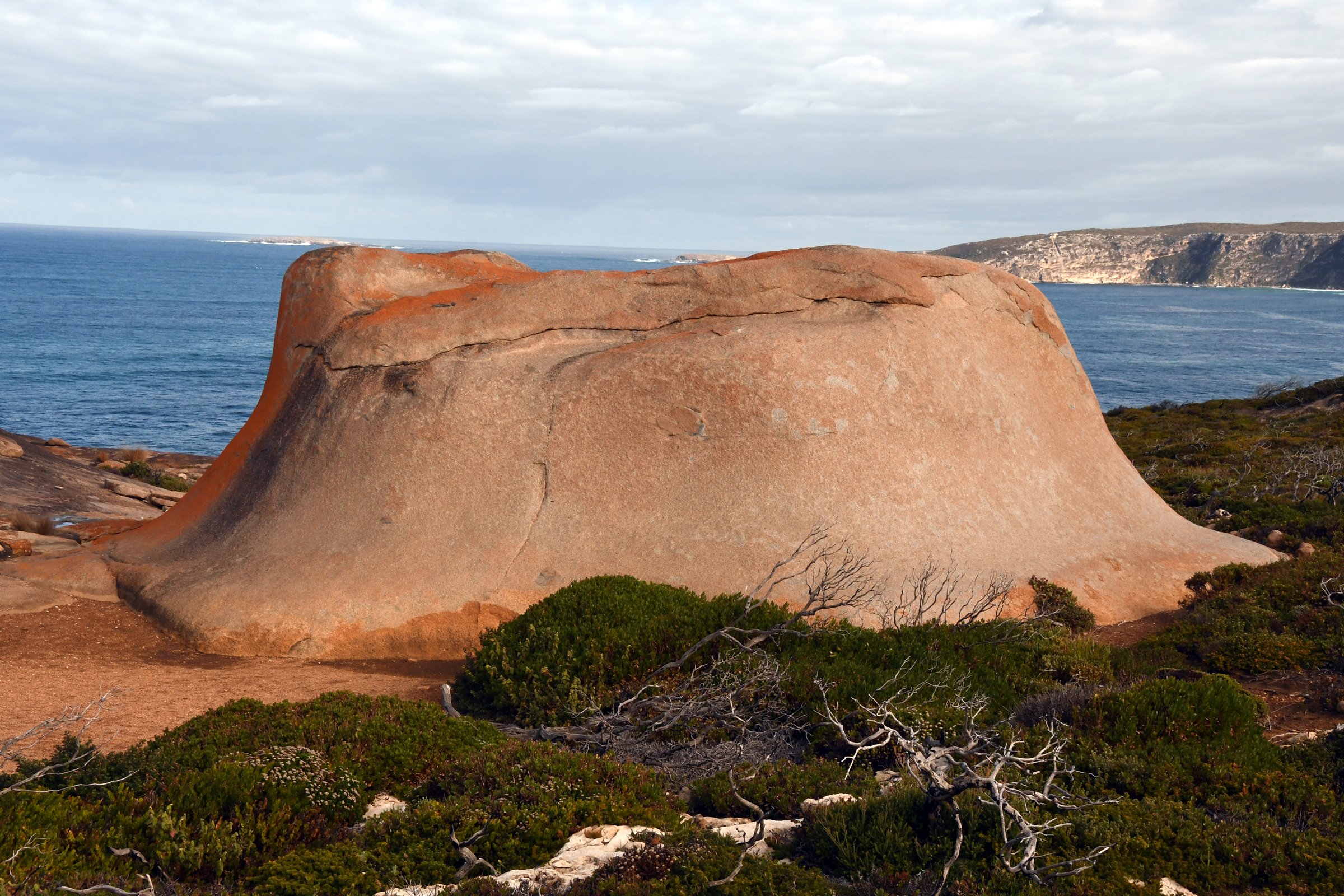
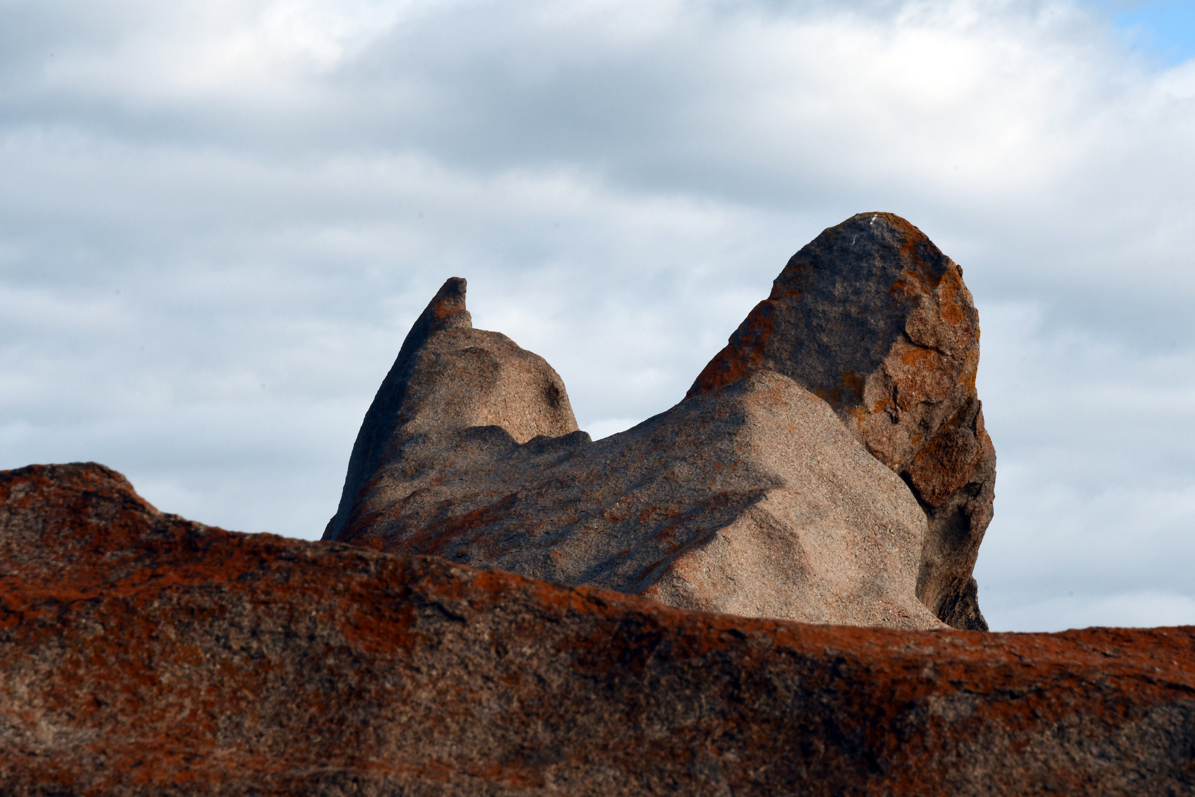
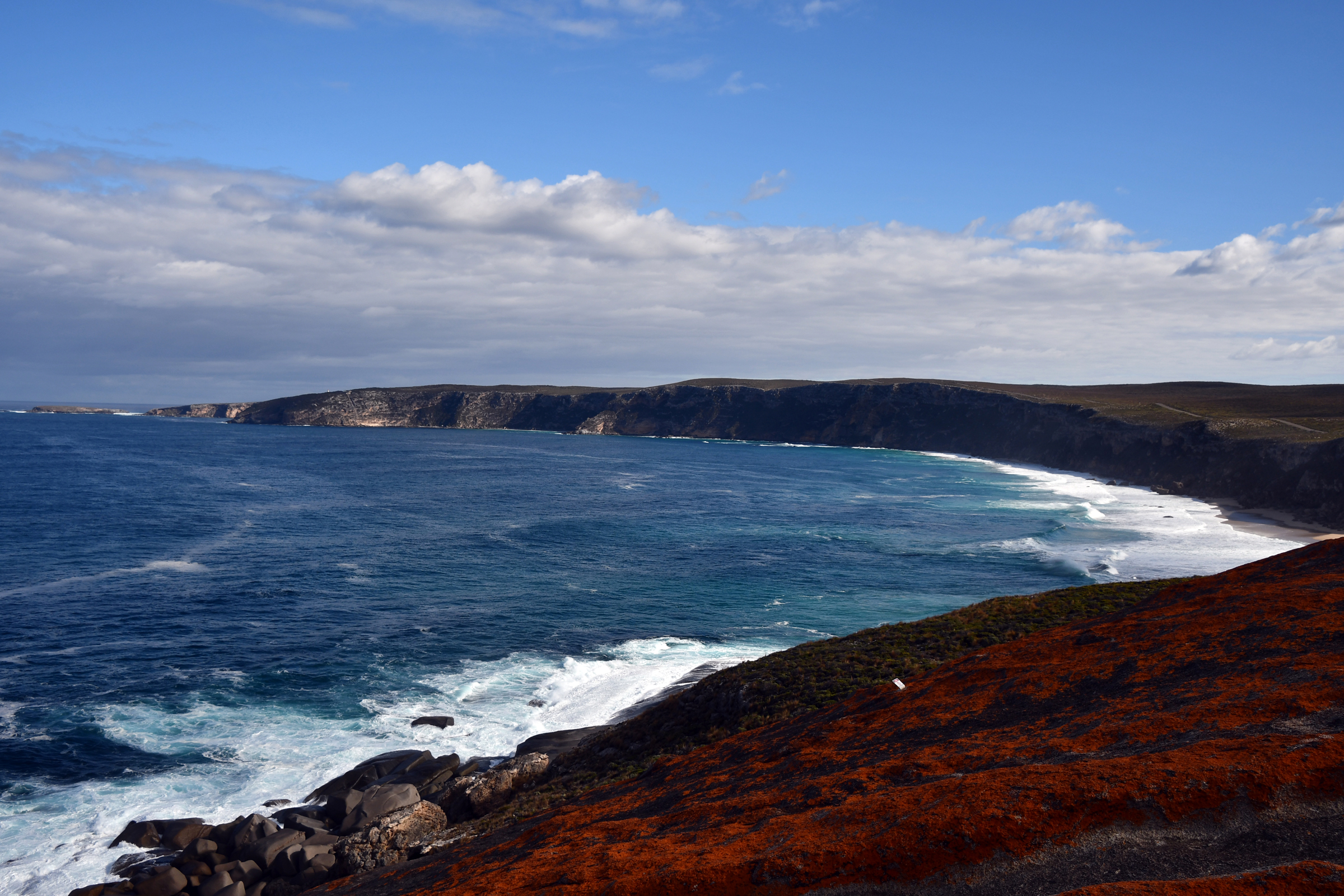
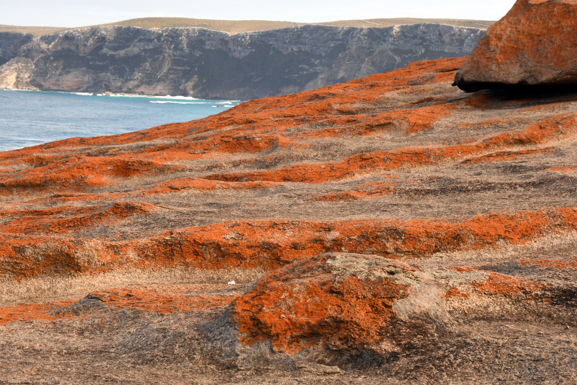
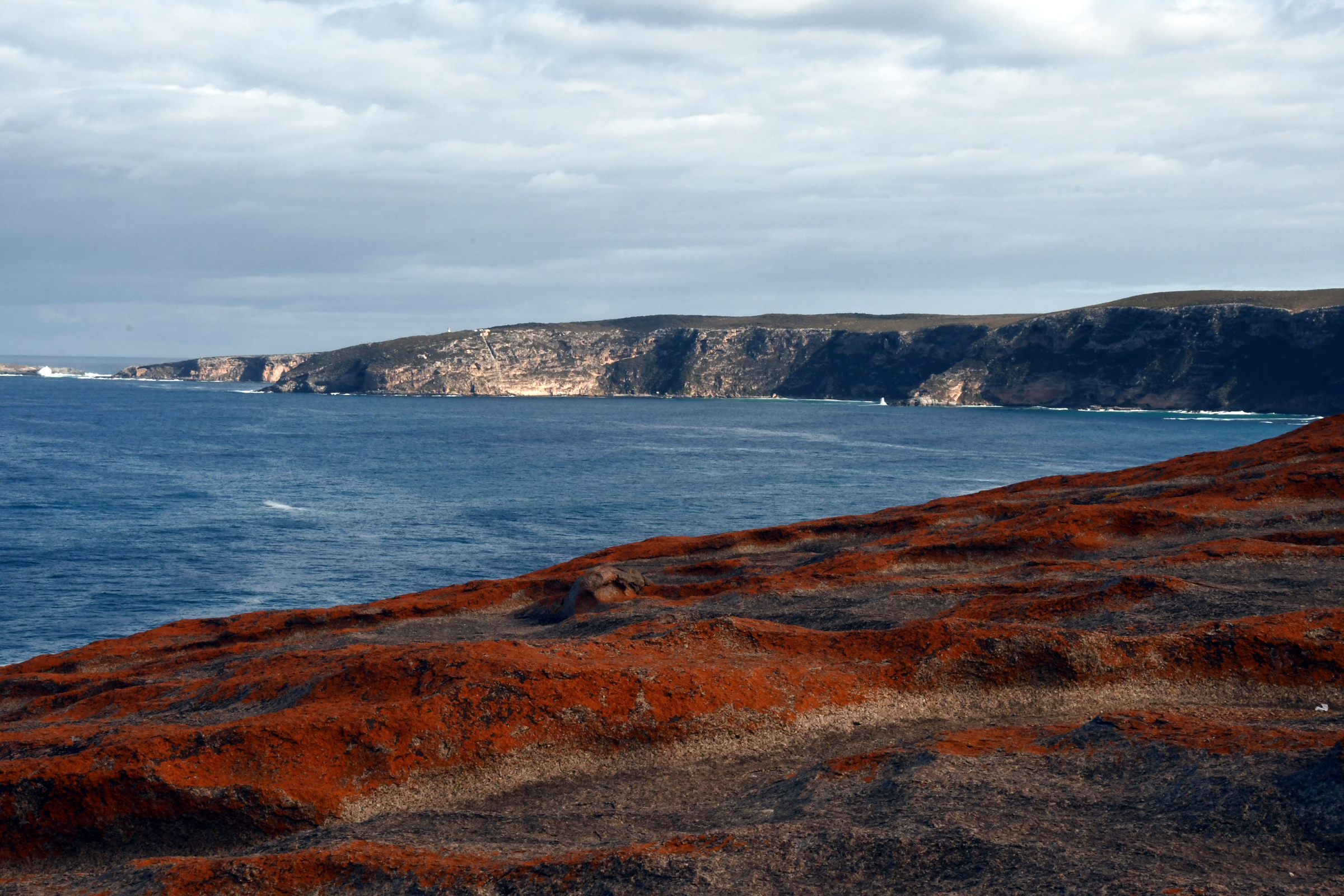
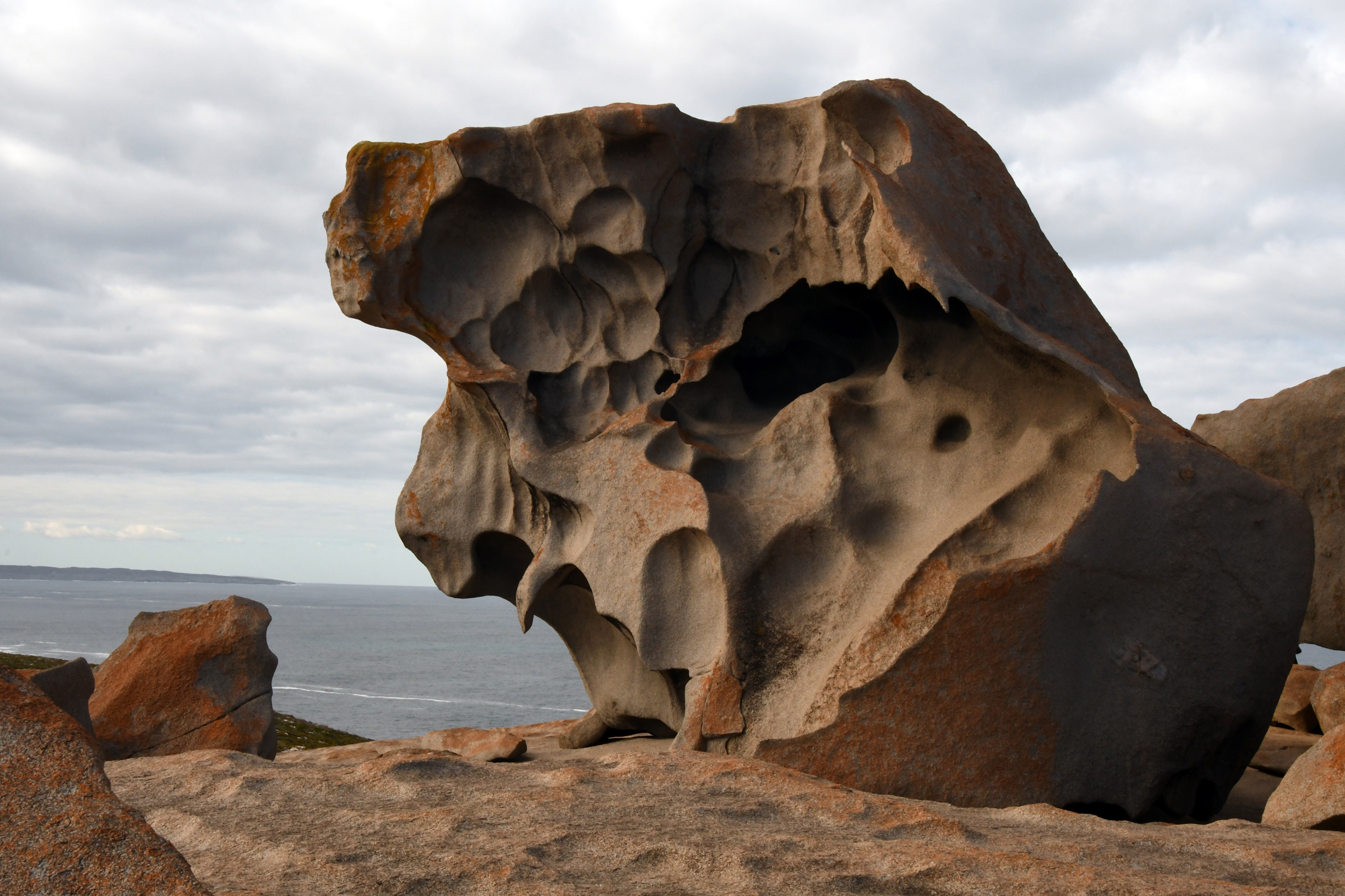
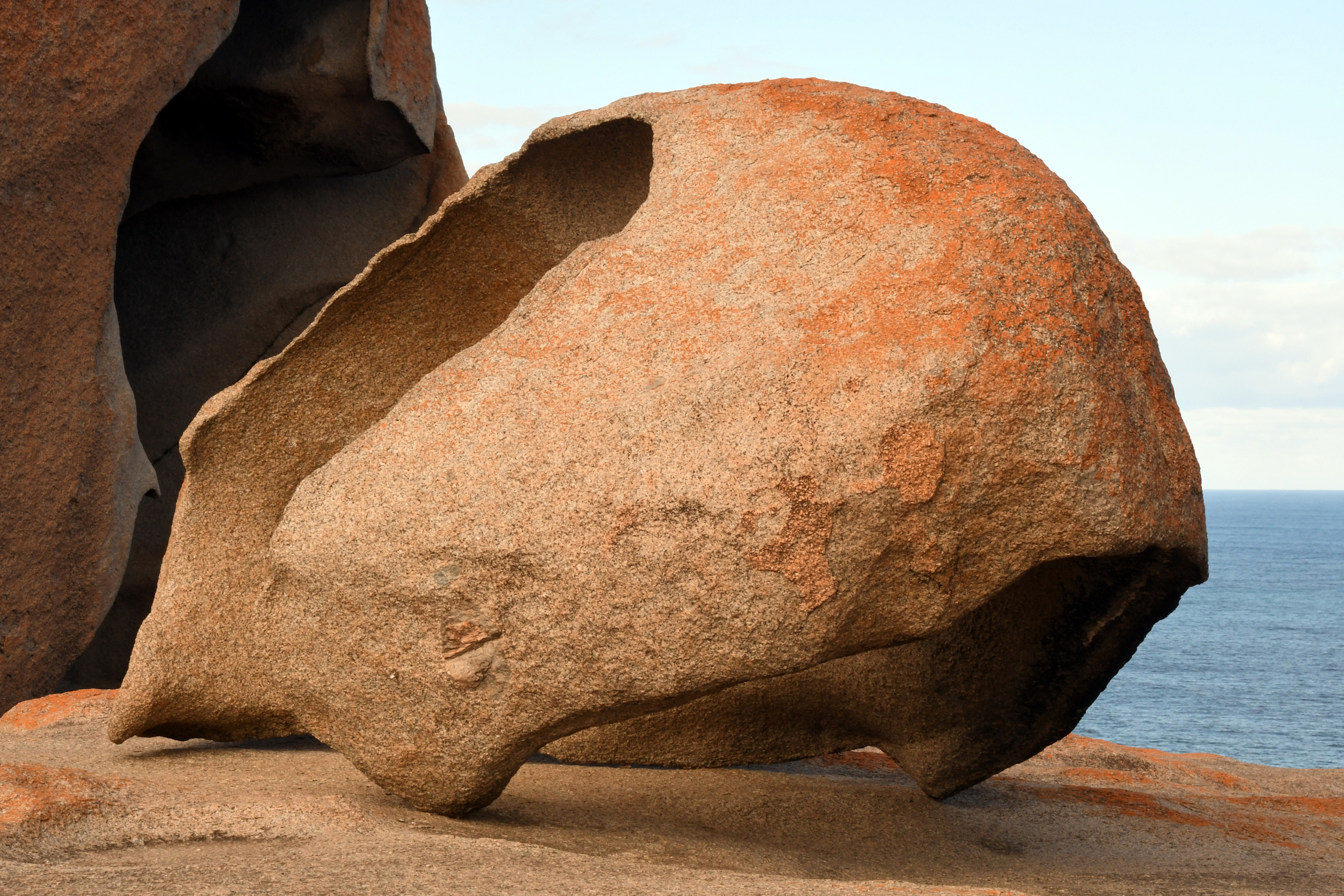
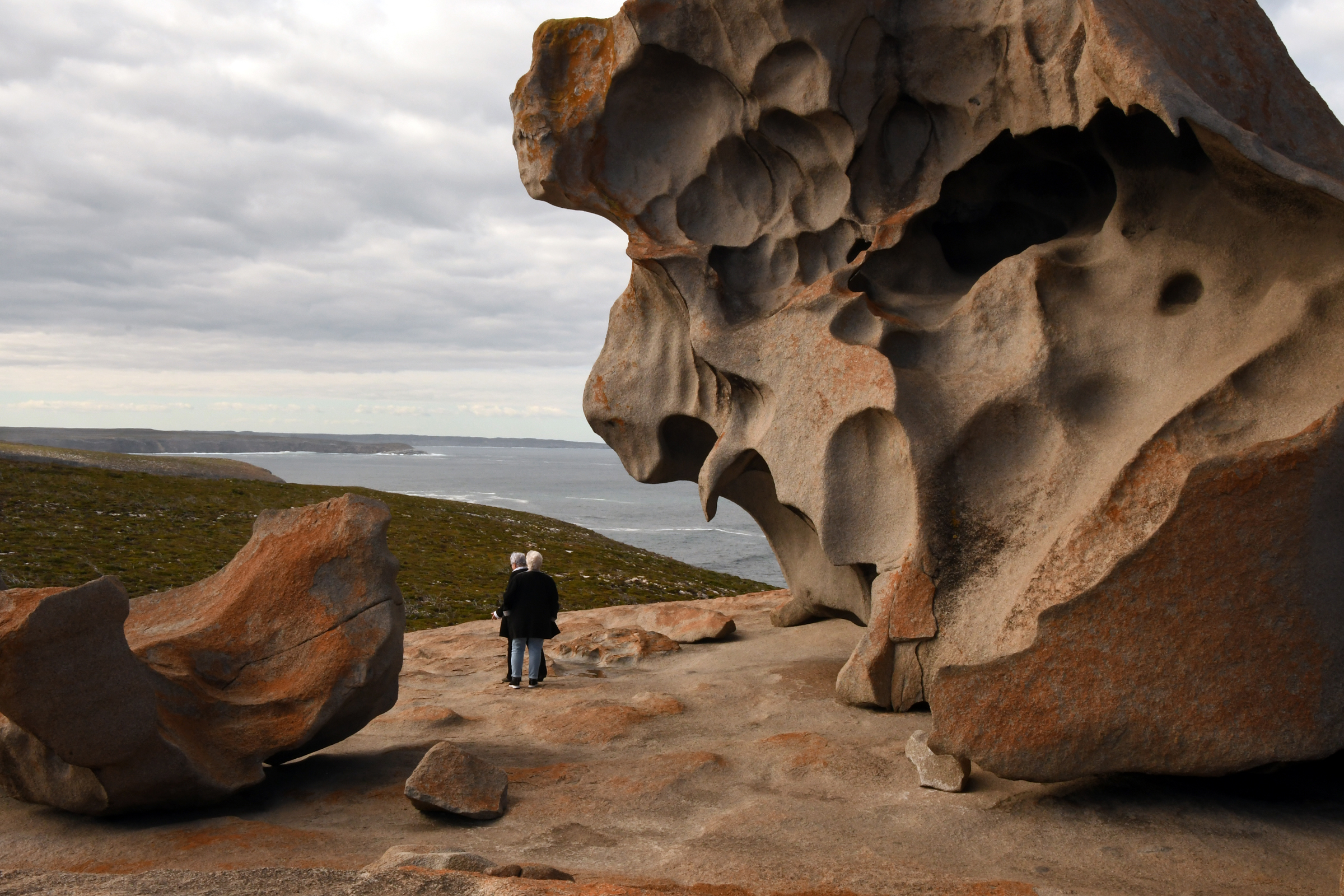
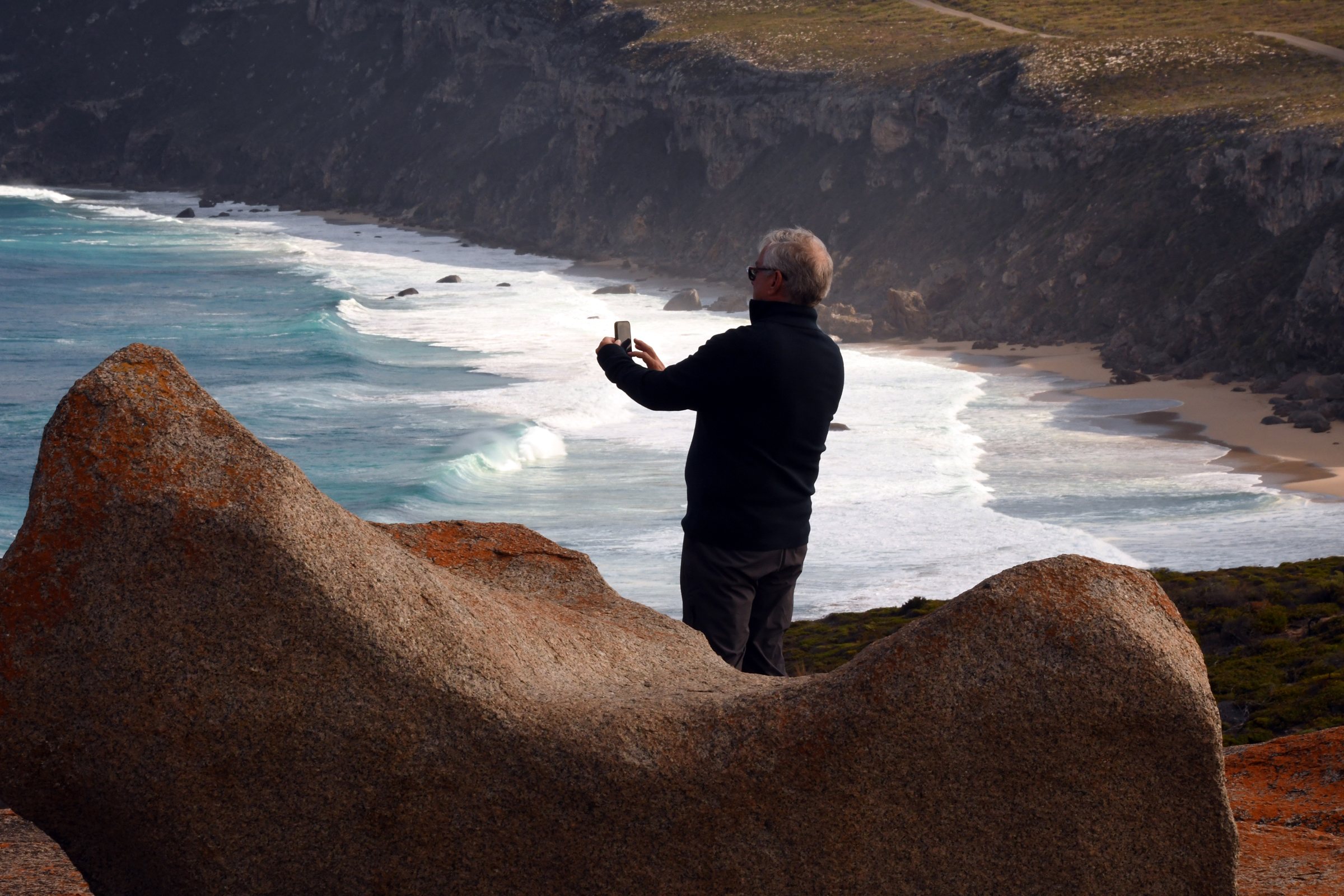
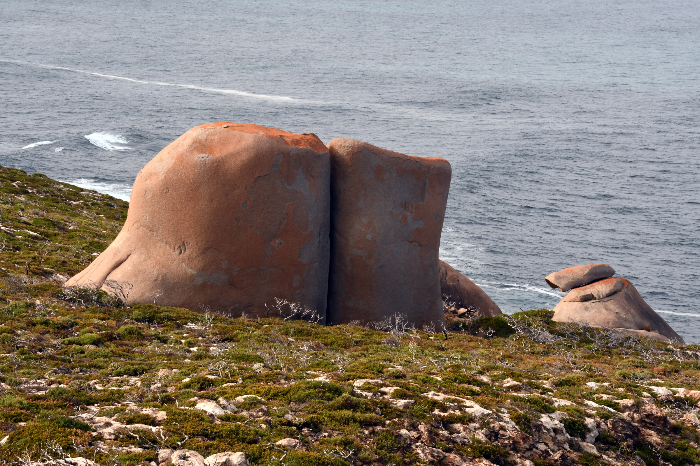
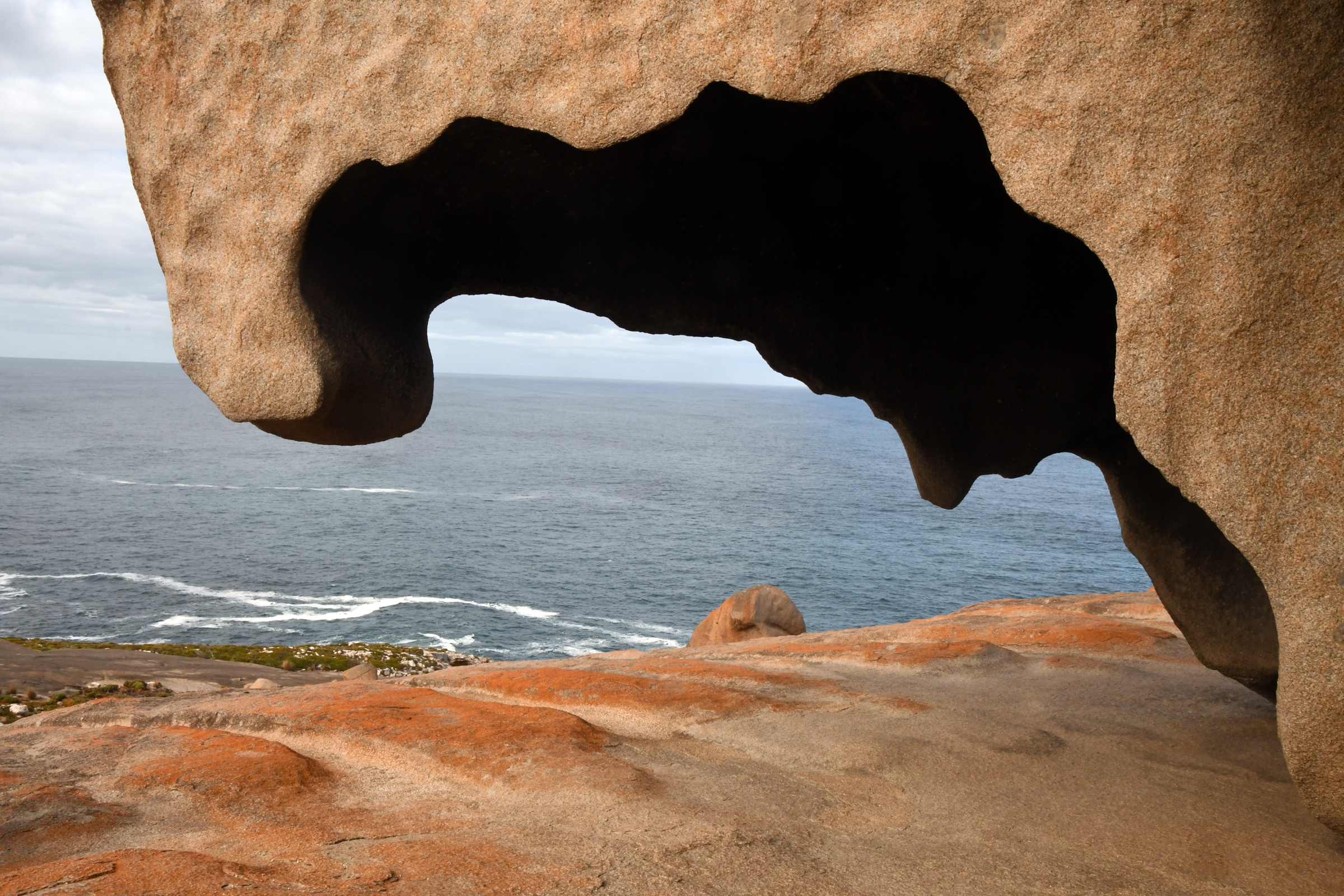
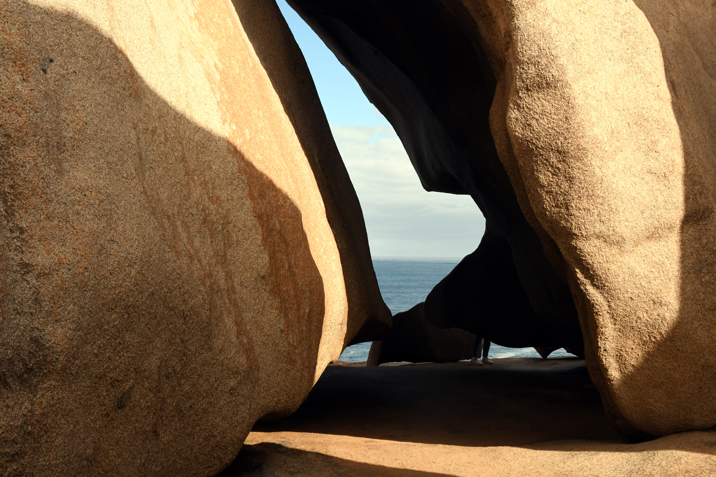
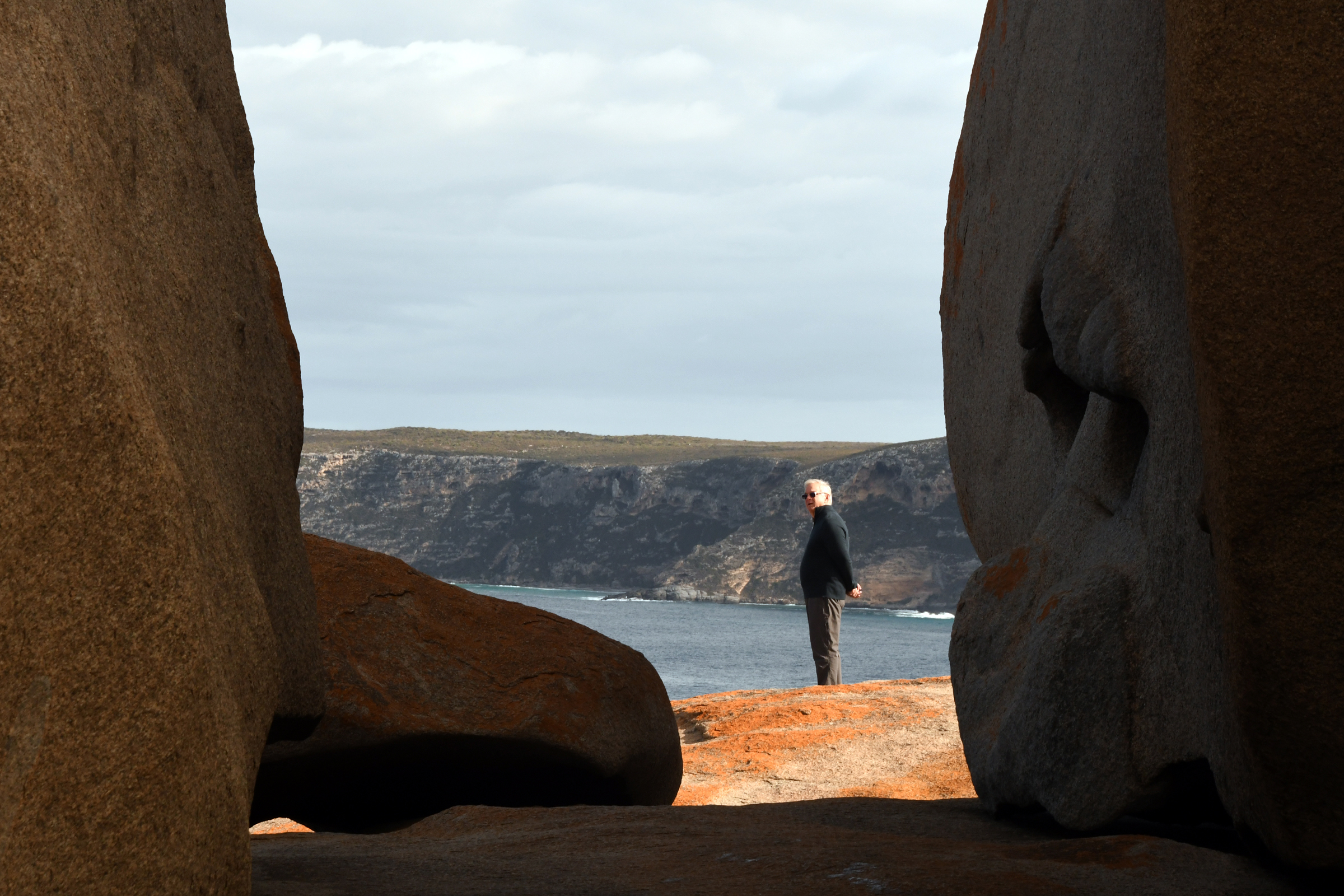
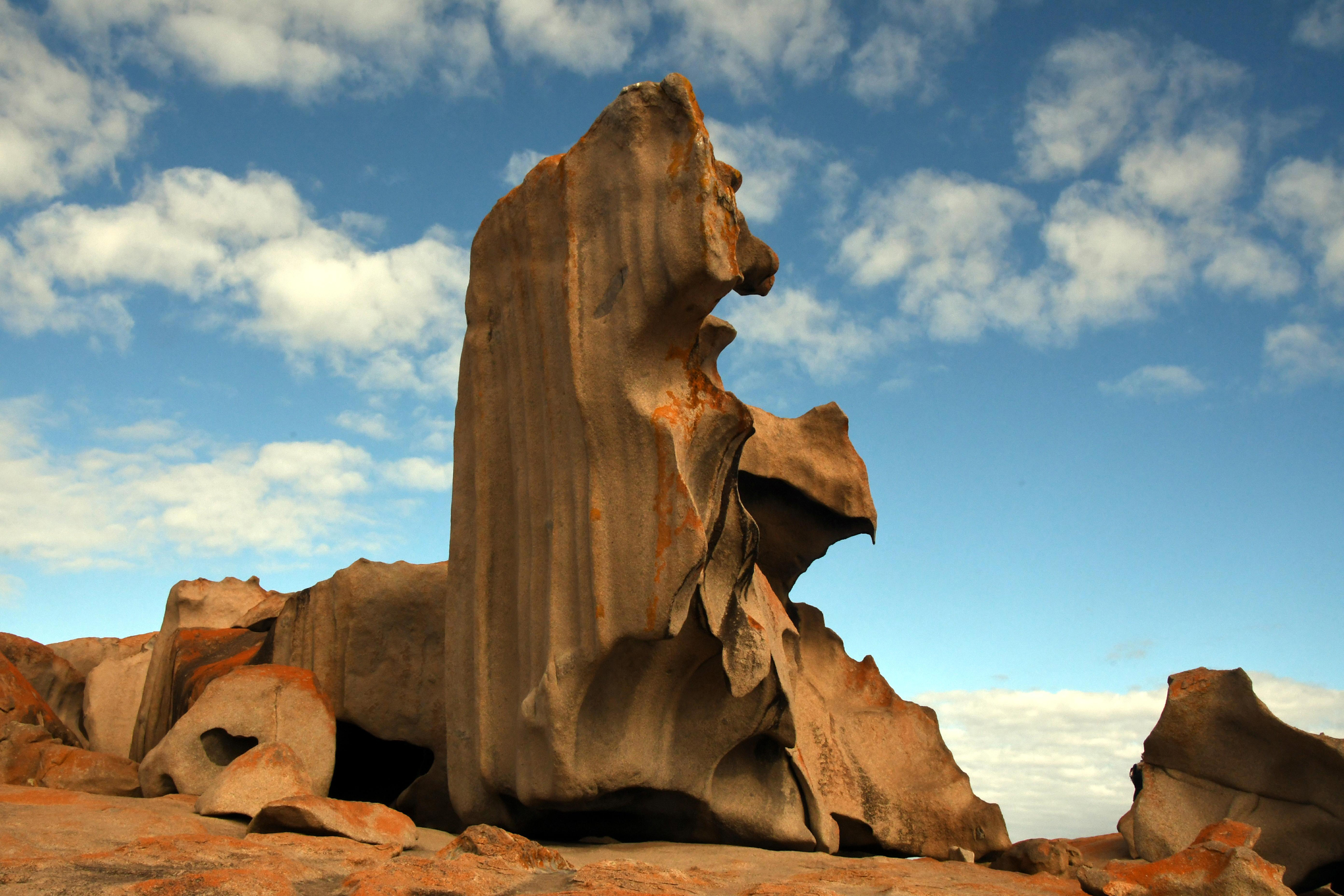
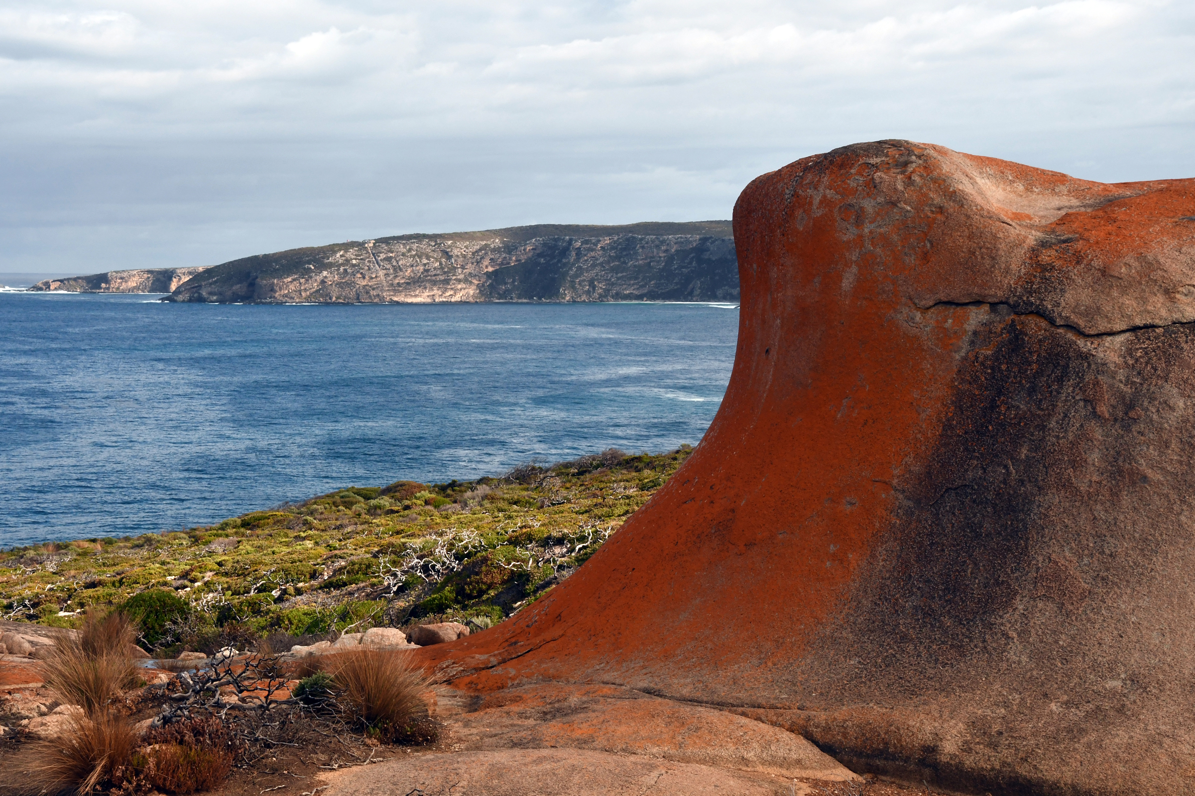
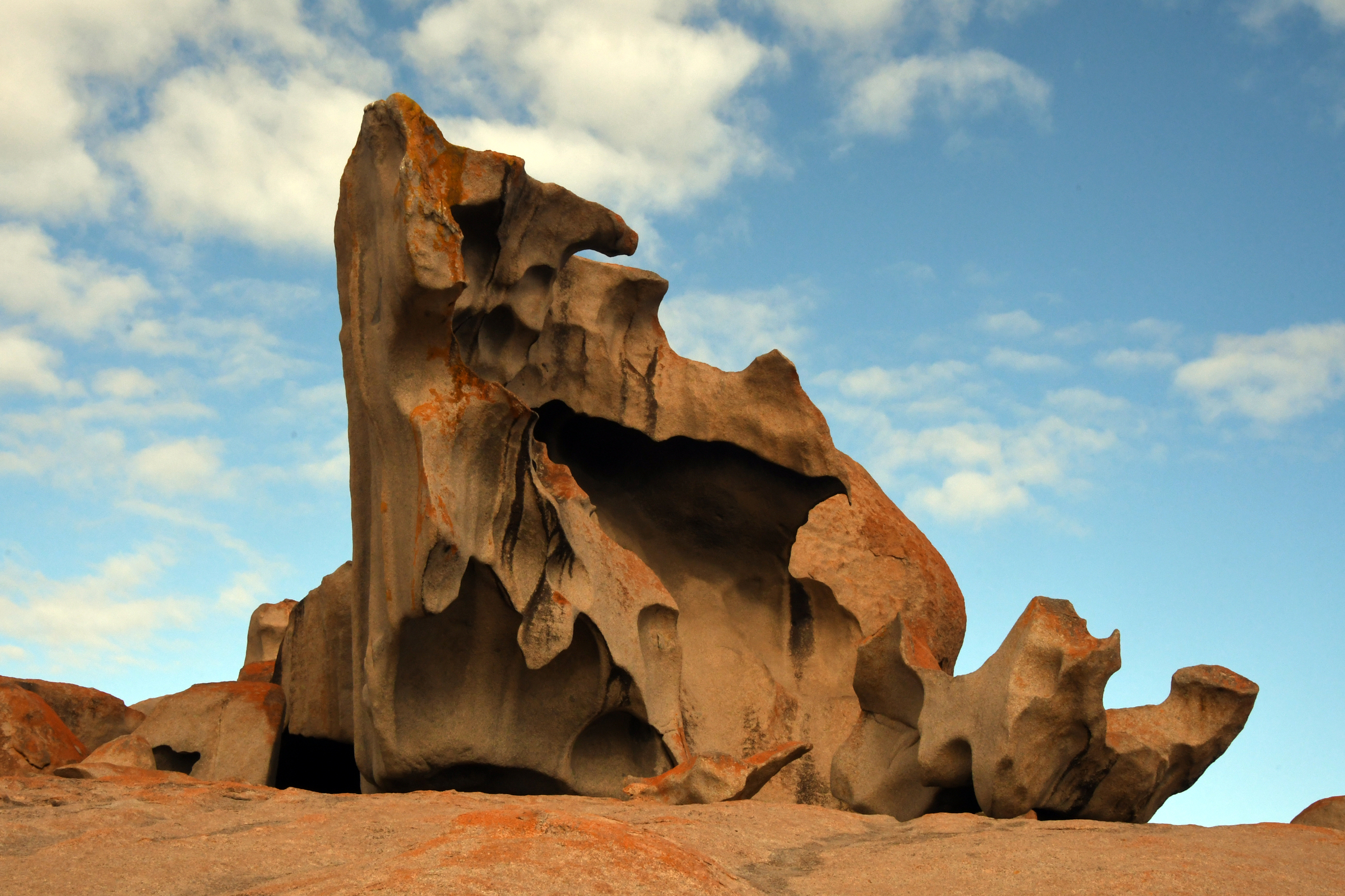
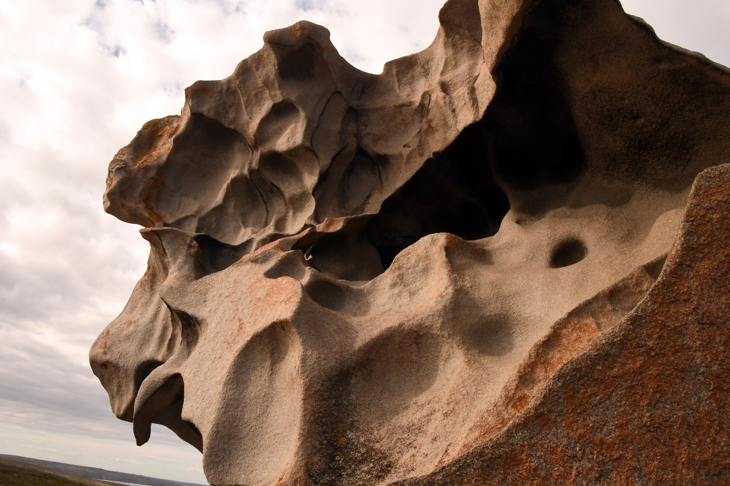
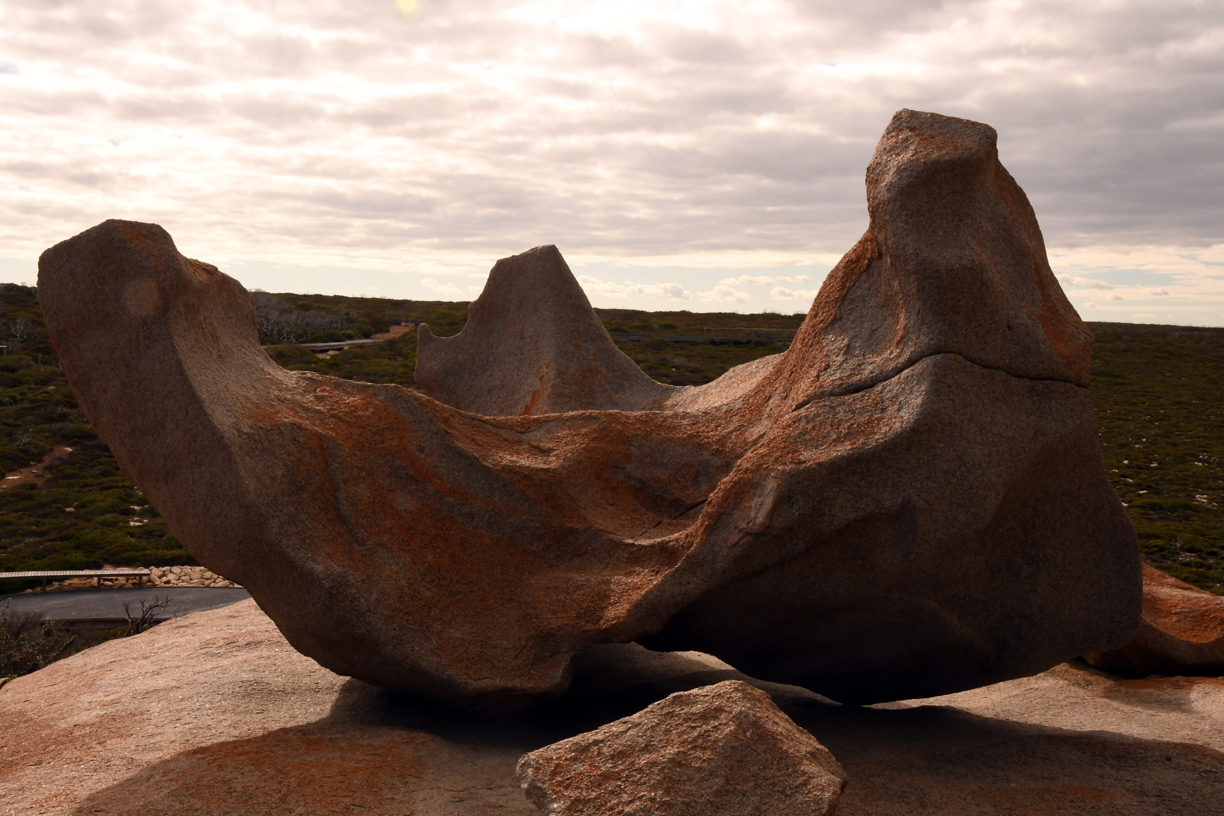
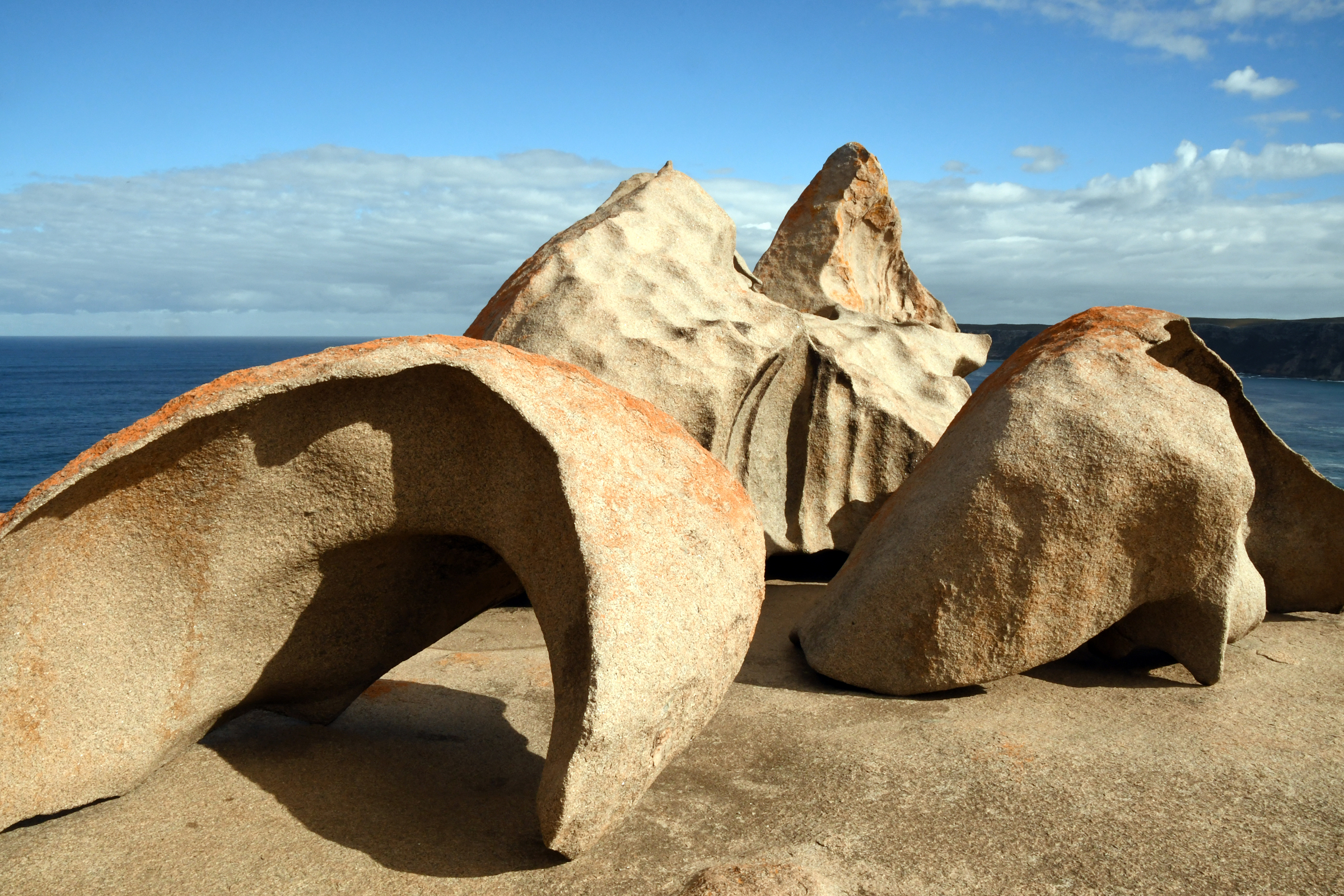
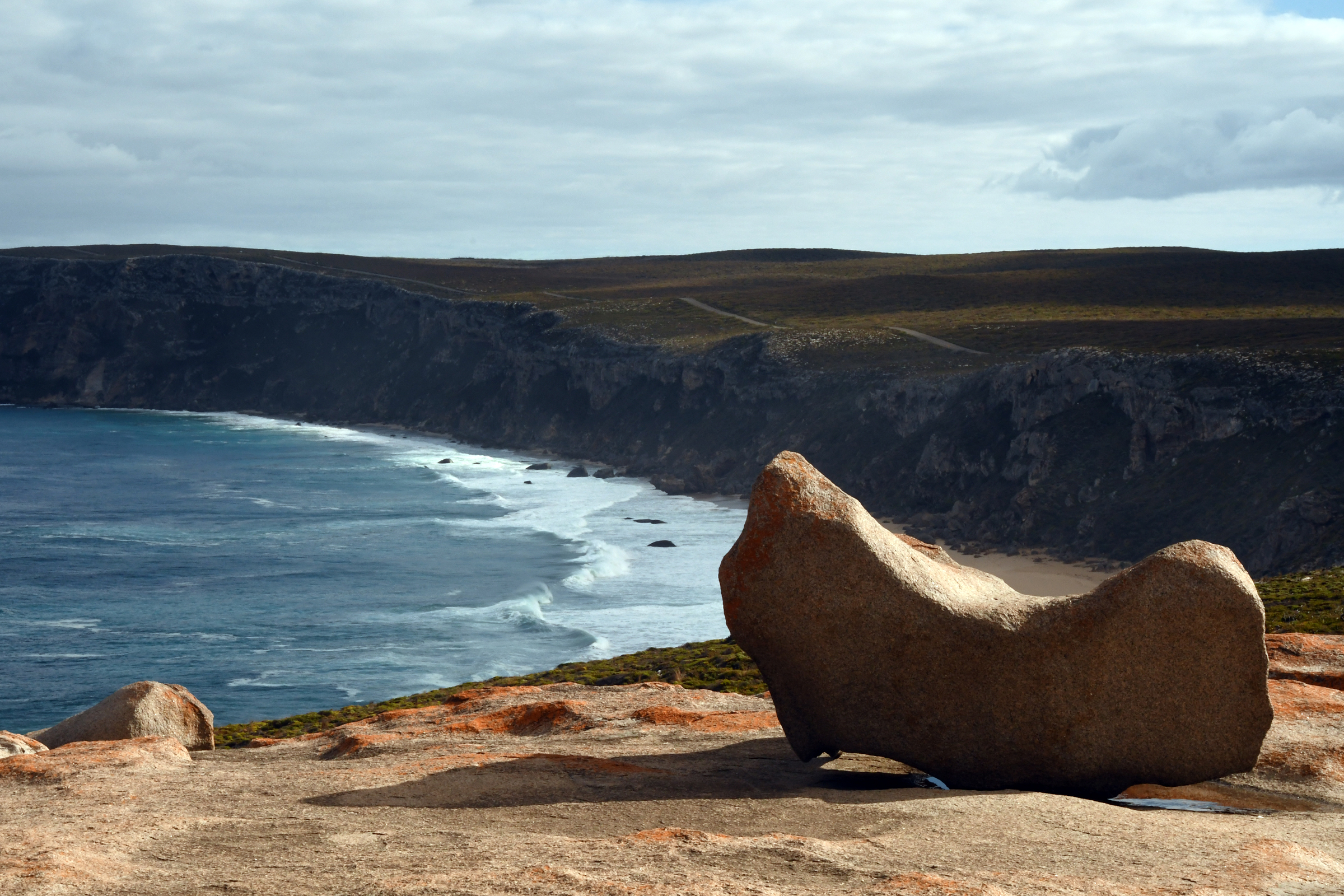
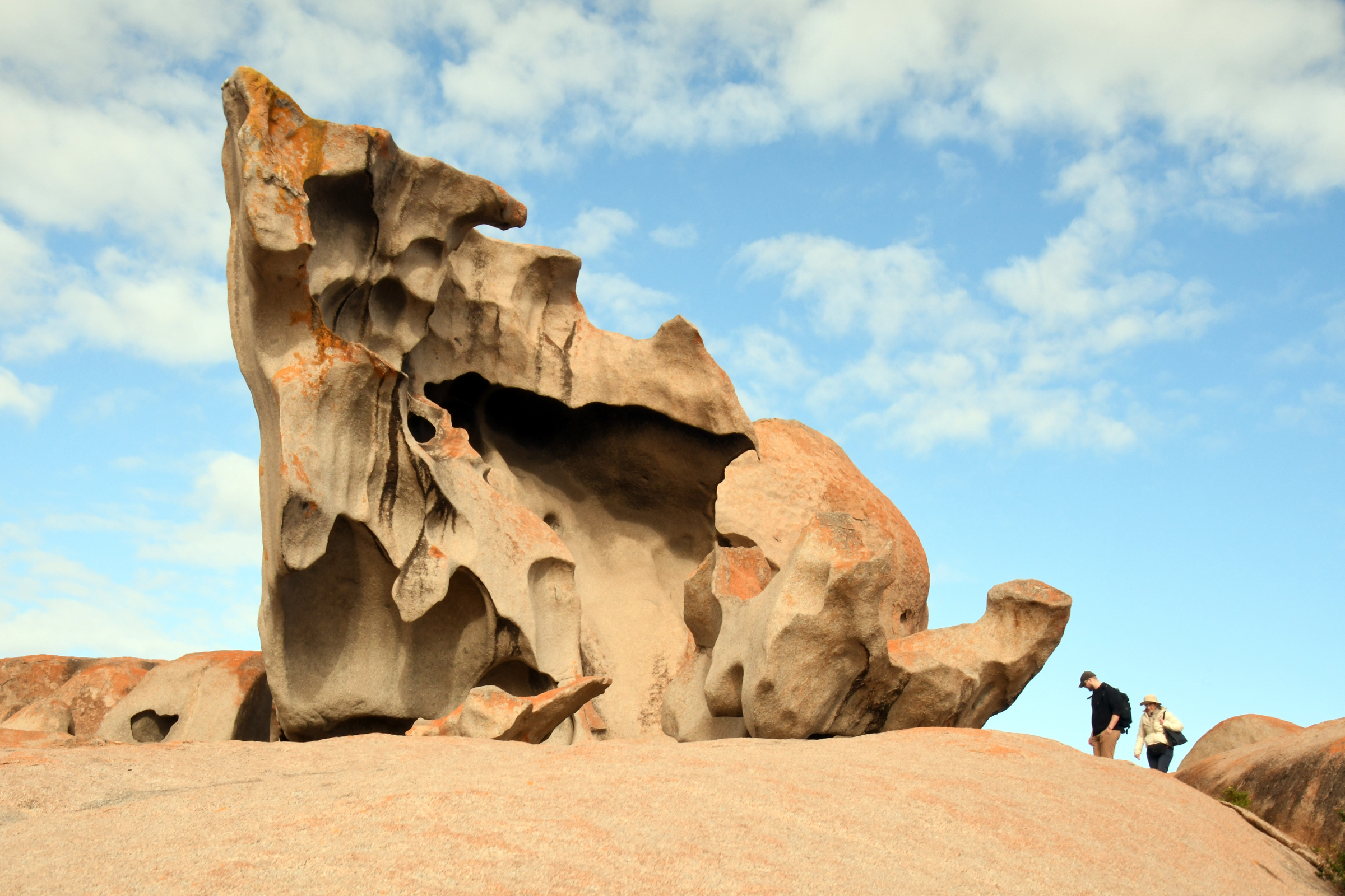
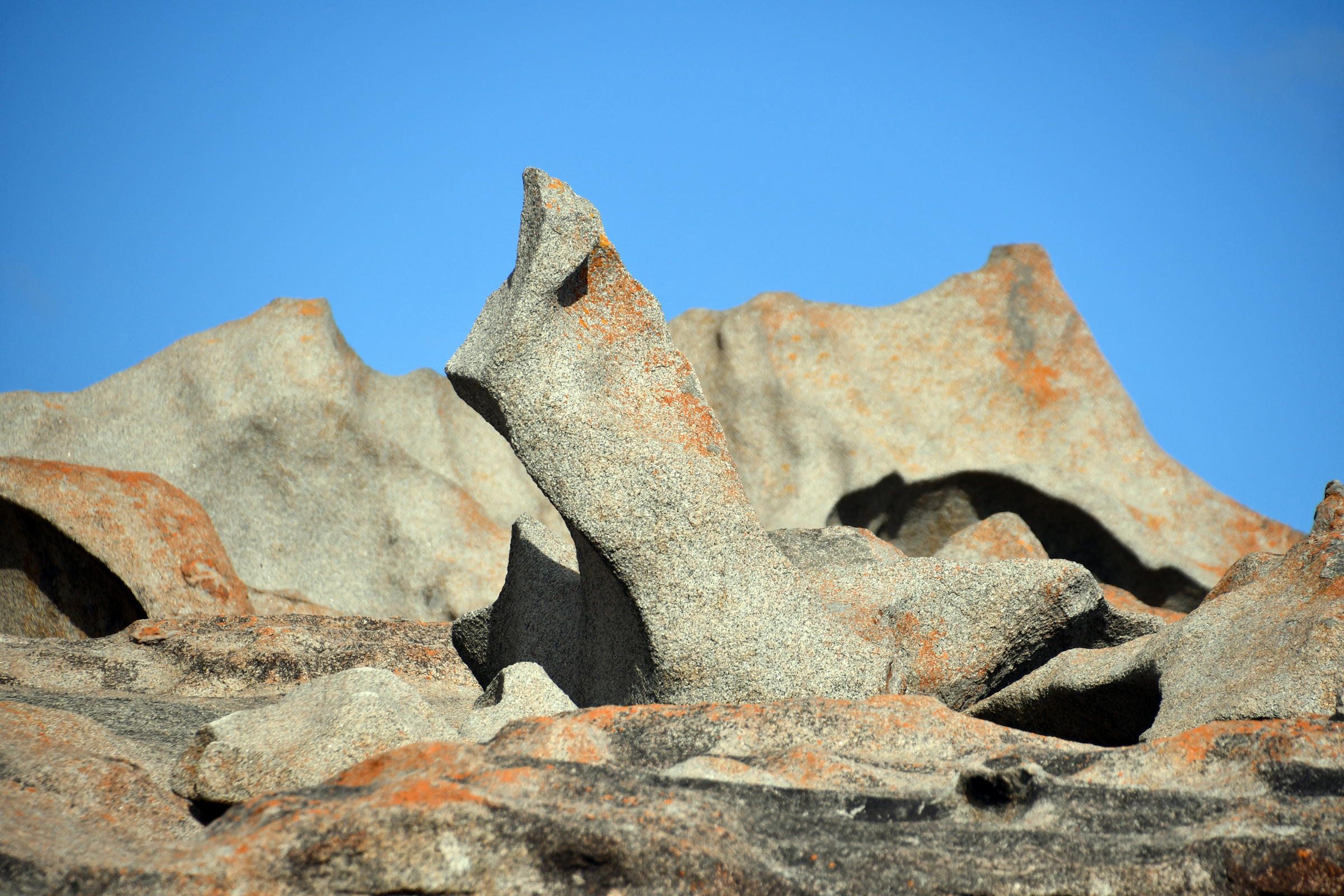
Flinders Chase National Park - Remarkable Rocks
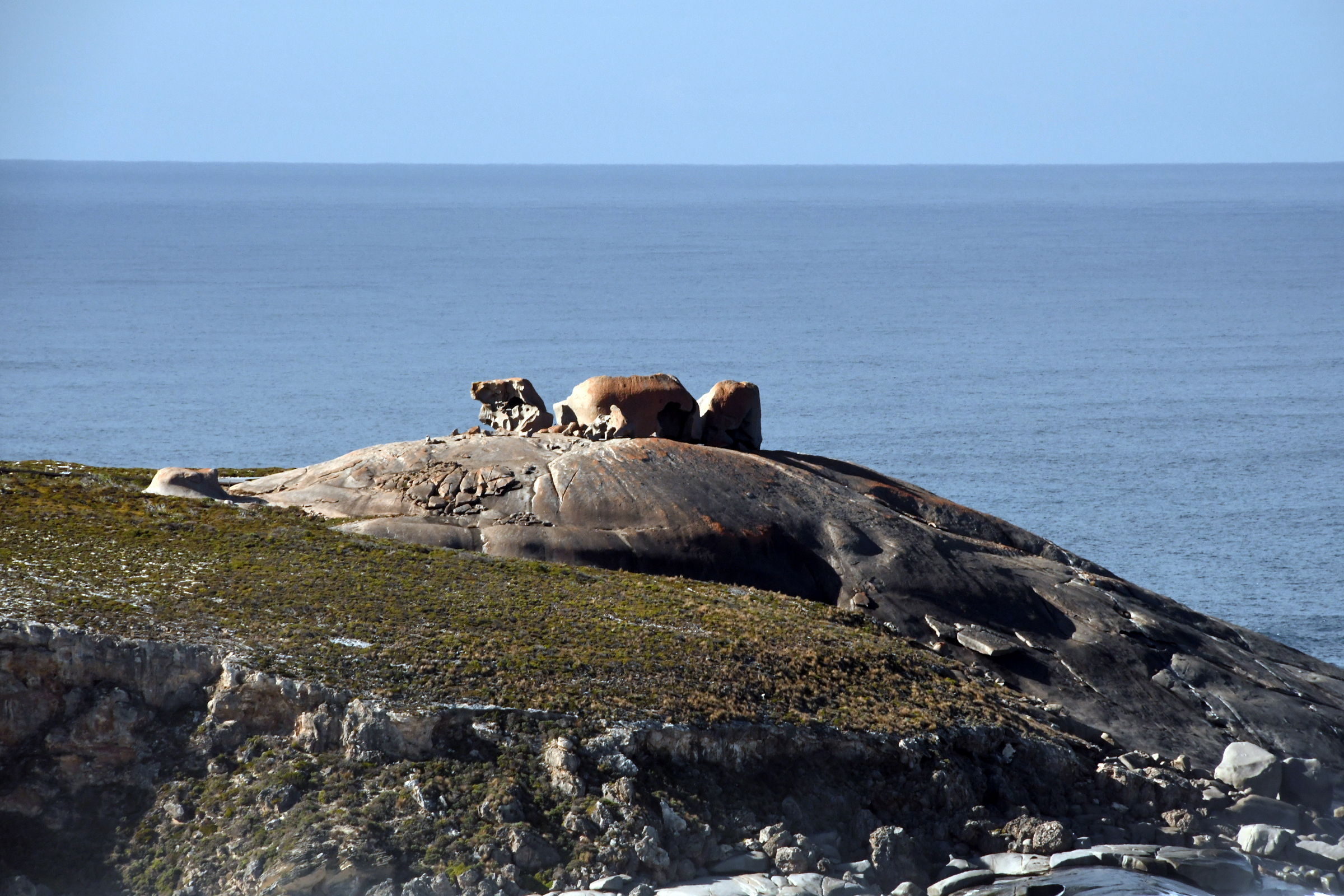
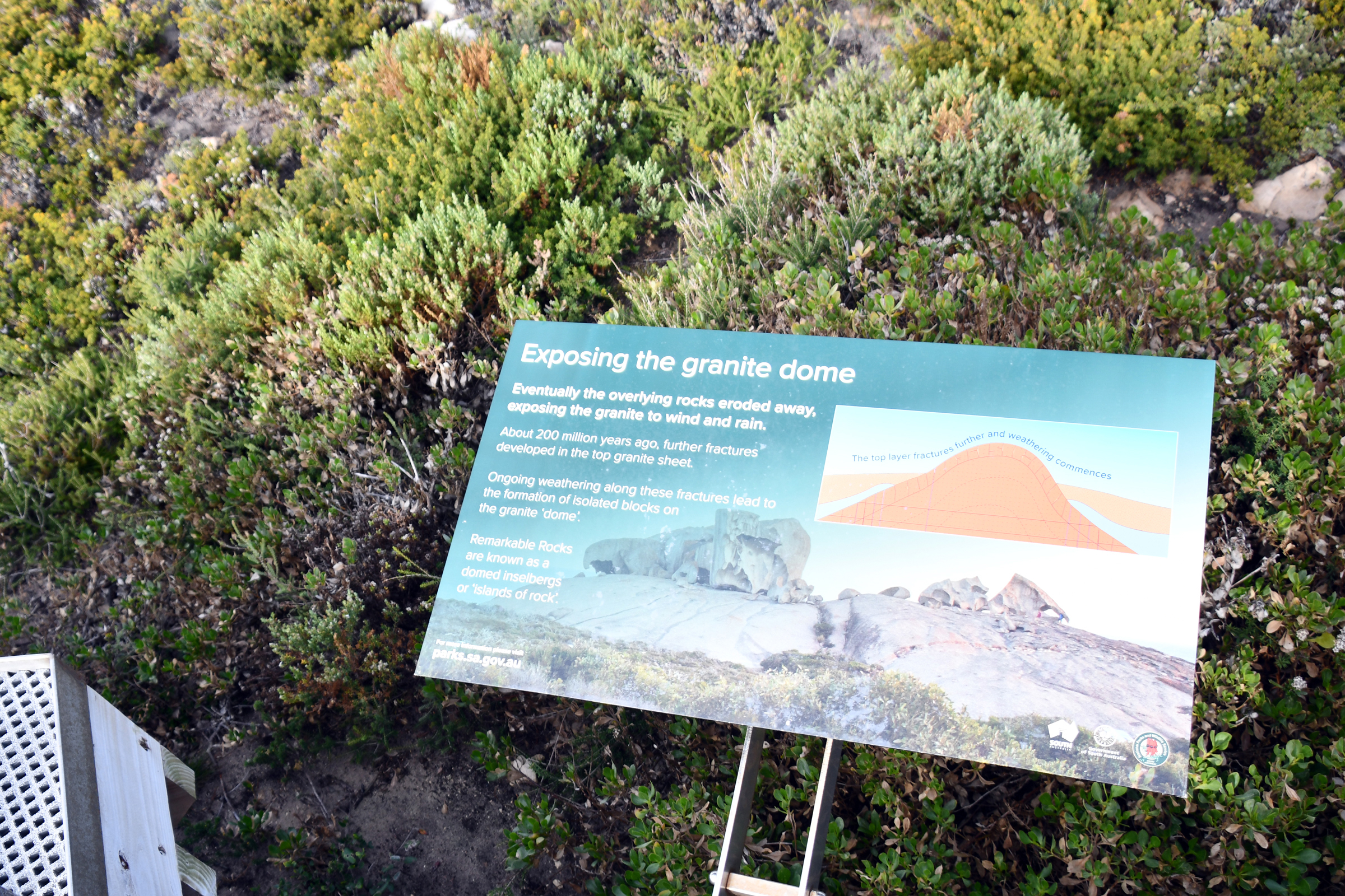
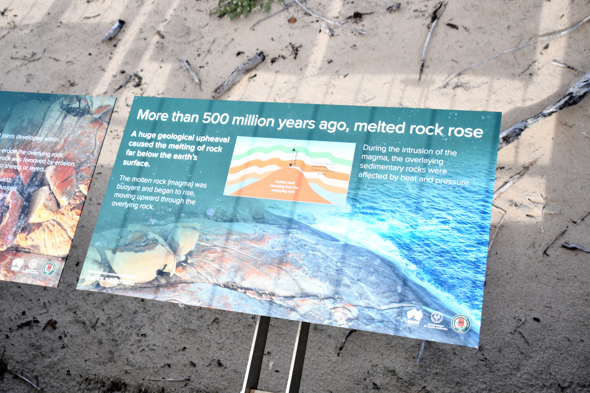
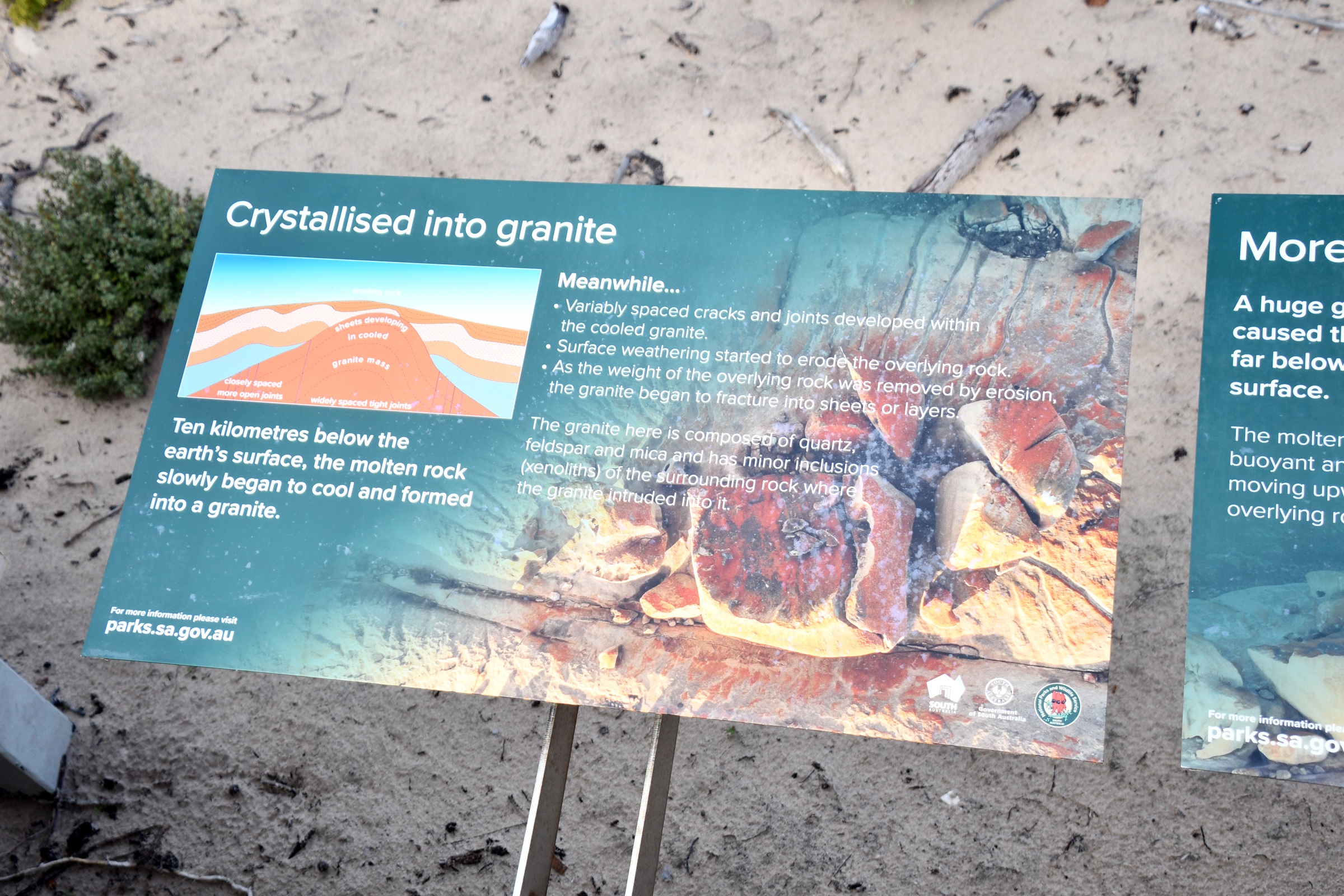
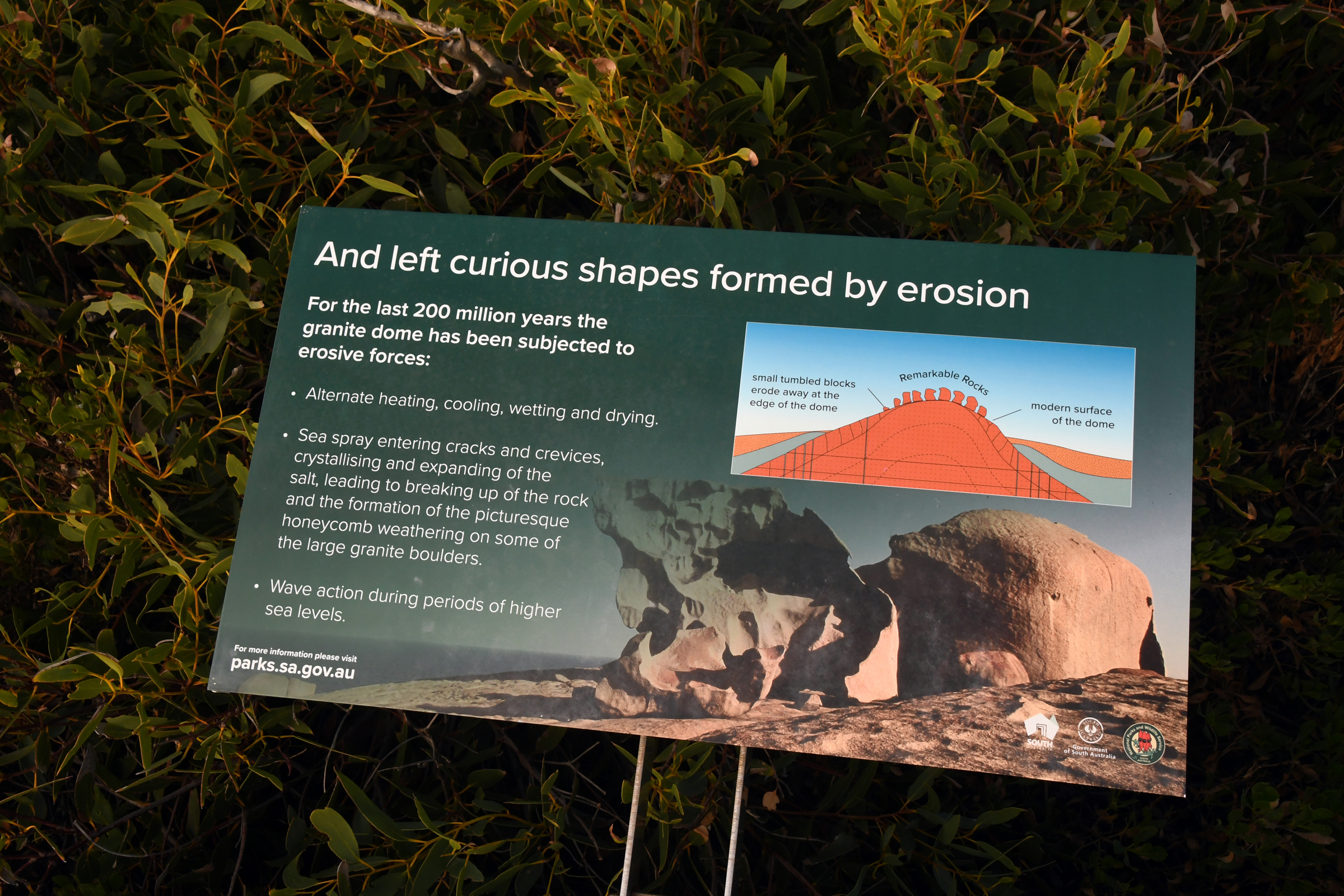
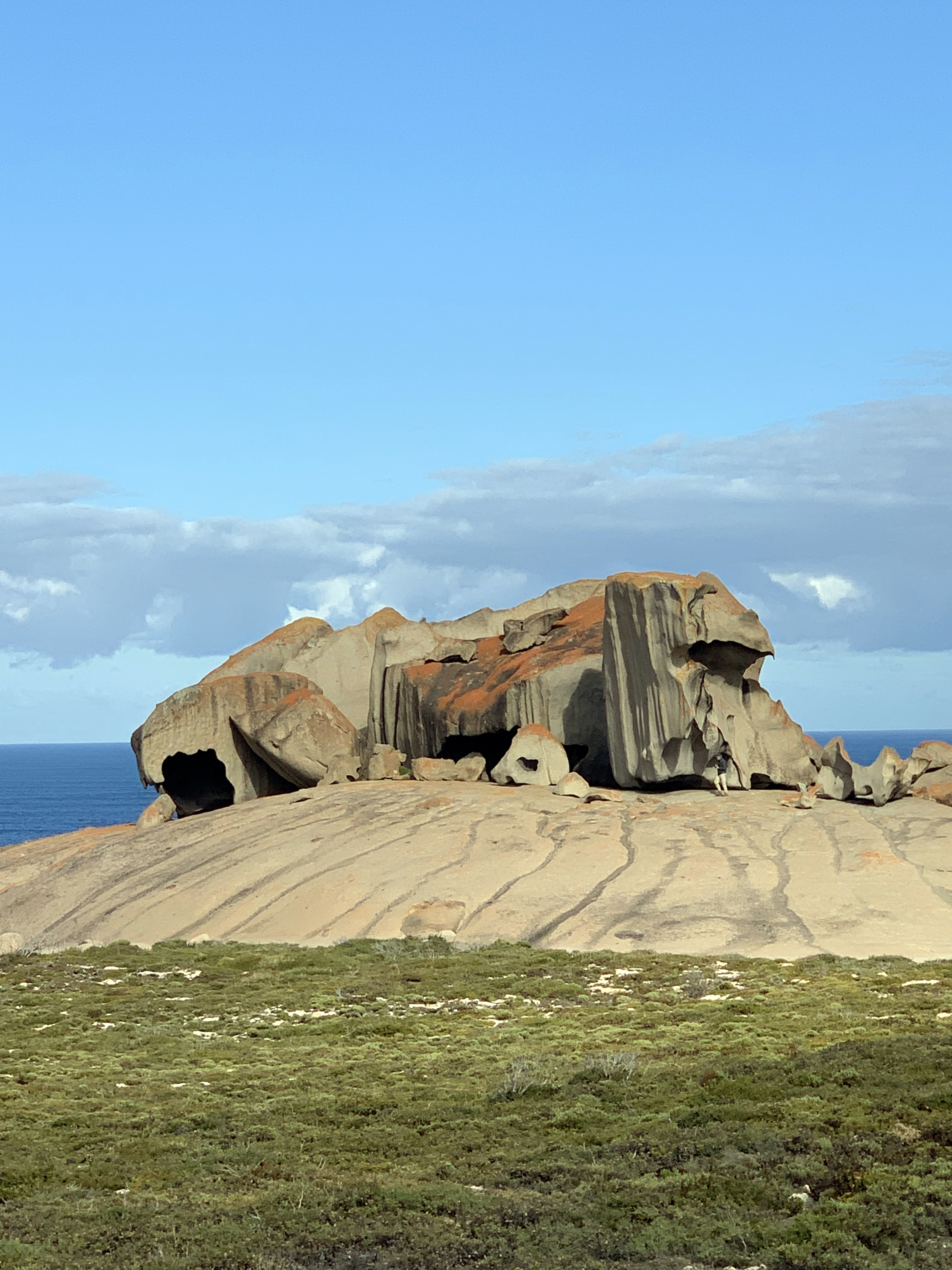
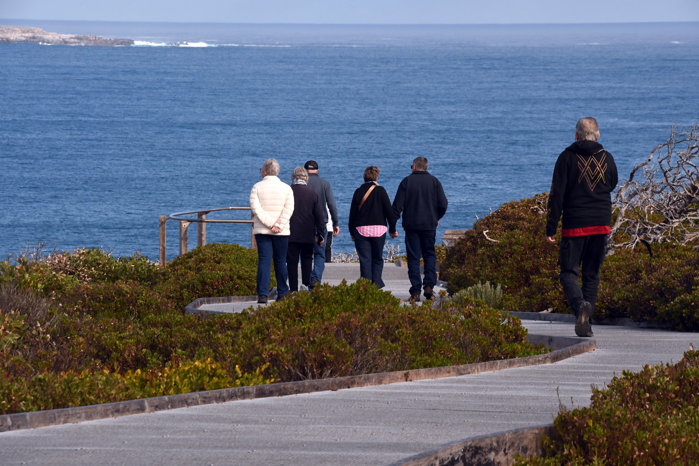
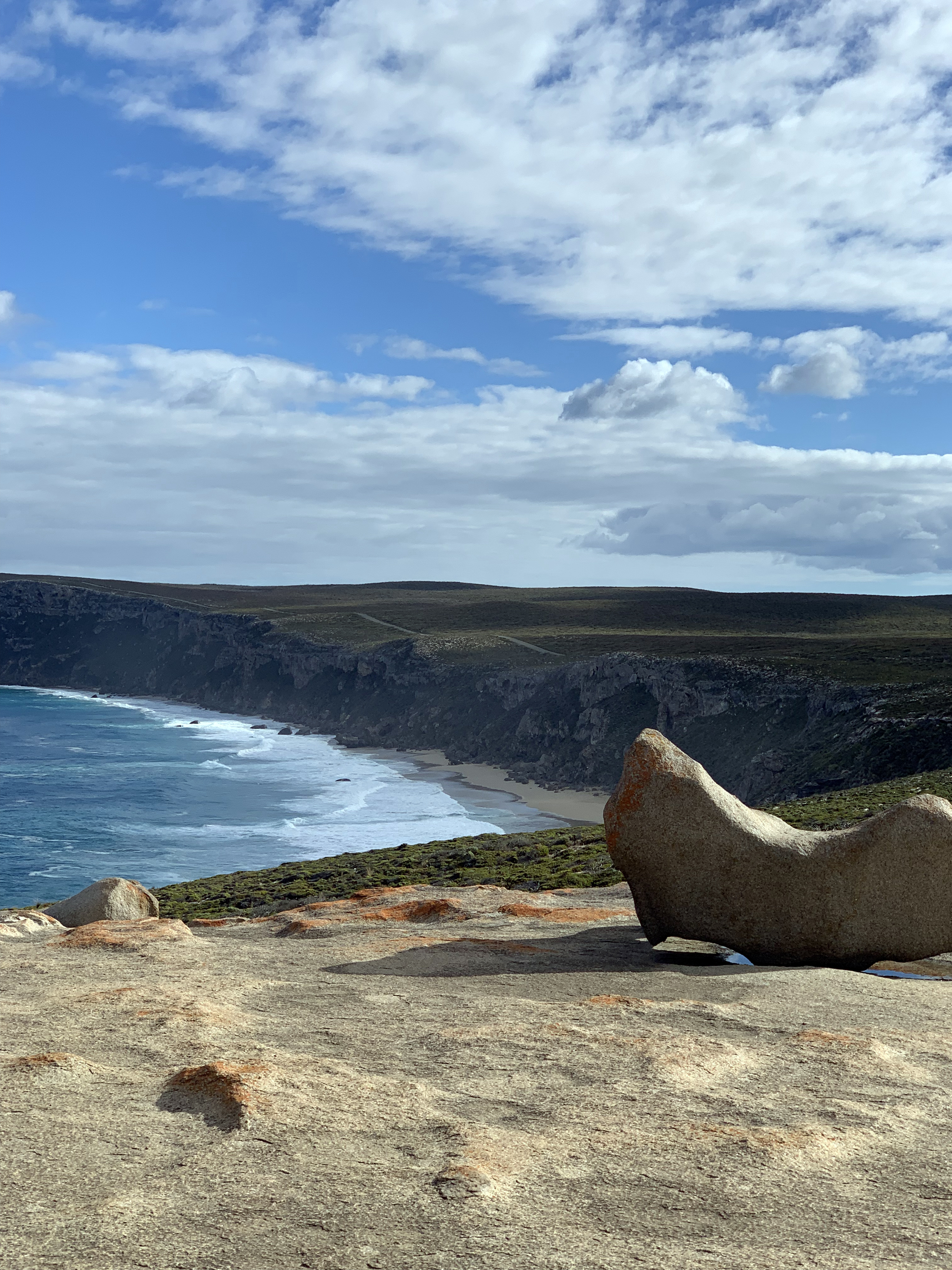
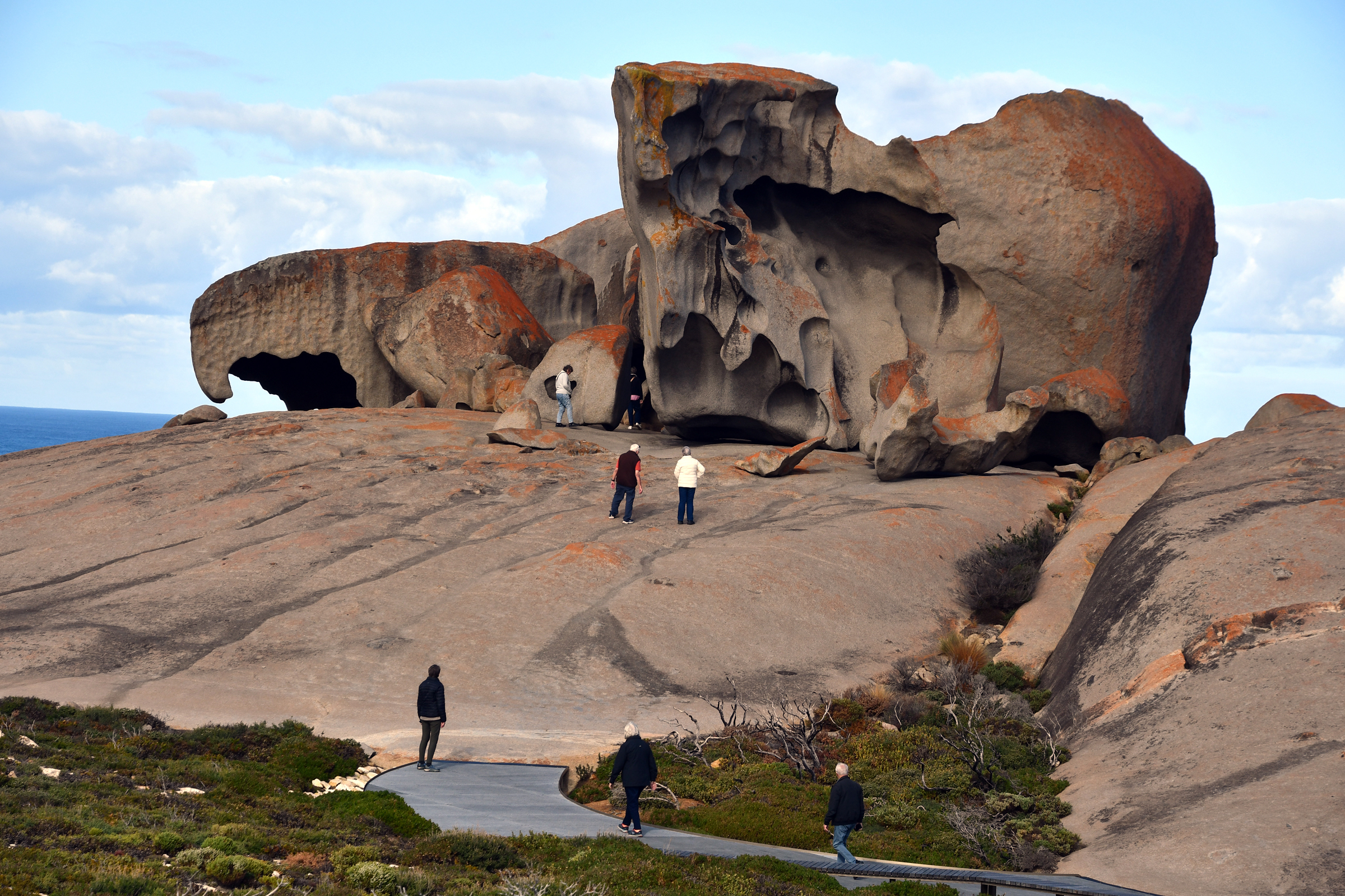
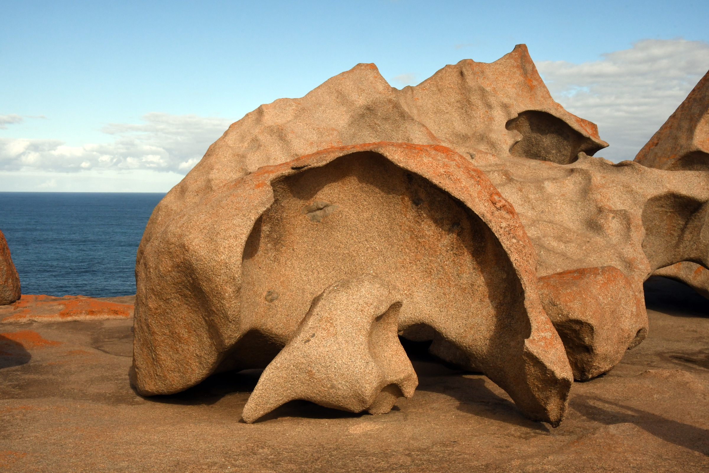
From a distance the headland appears to have rocks piled up as if dropped from a large truck. But up close it is a different story - the pile is truly "remarkable". Despite having to
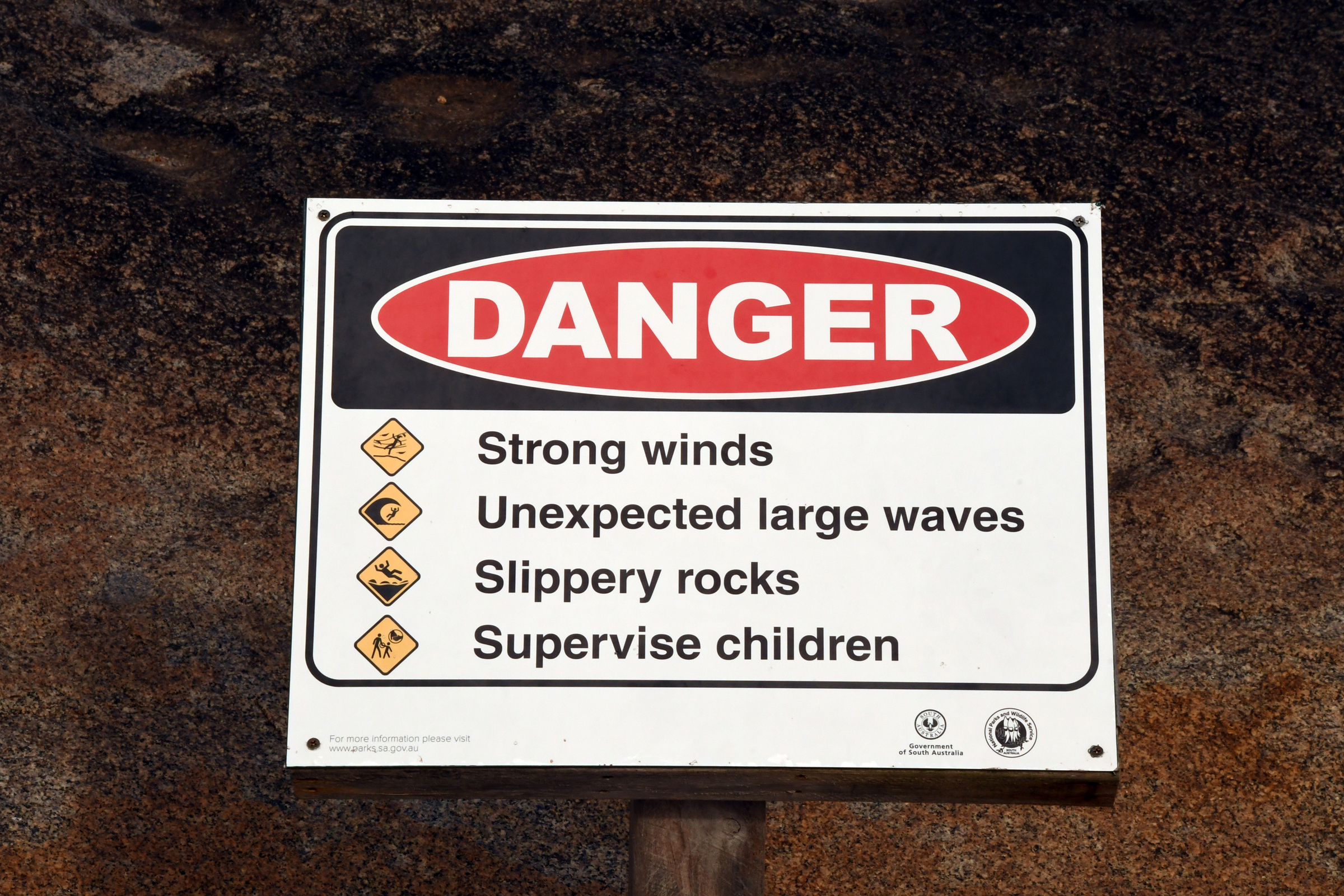
share the pathway and the rocks themselves with a busload of senior citizens from Adelaide we were impressed with the post-fire walkways and sign boards provided by the National Park service.
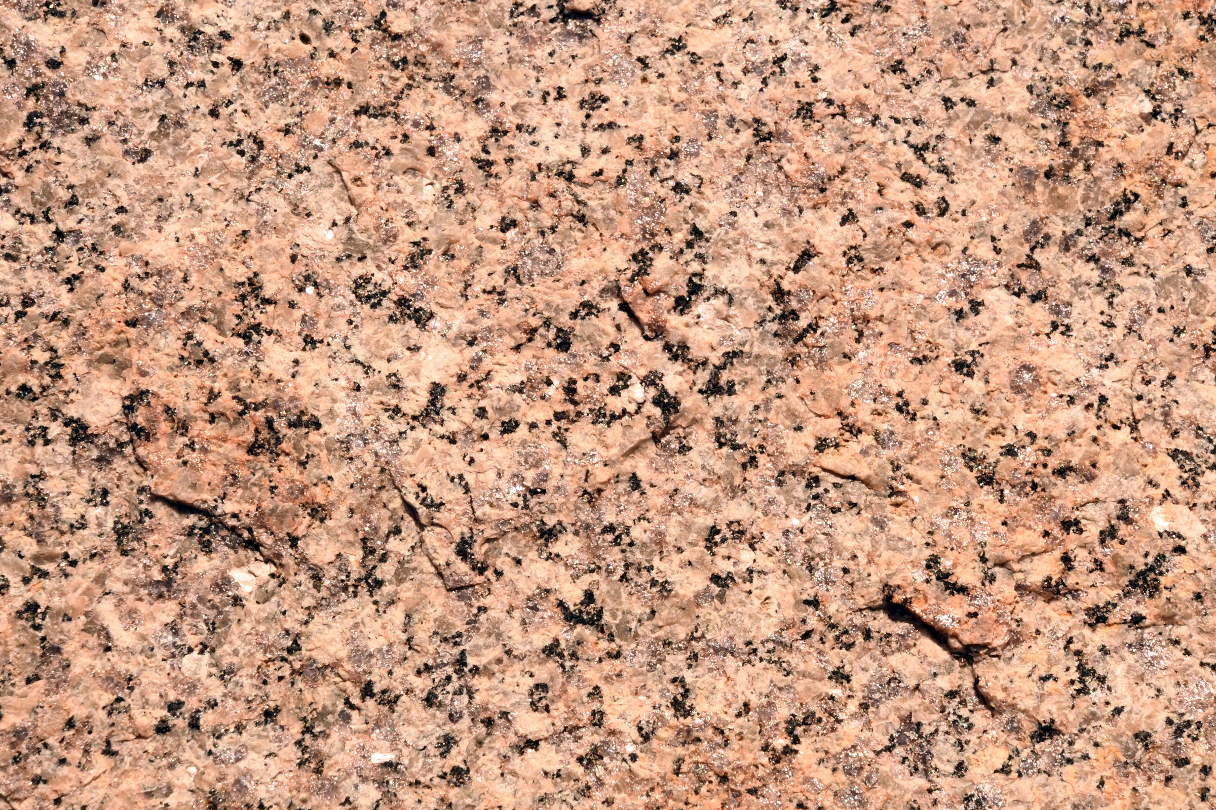
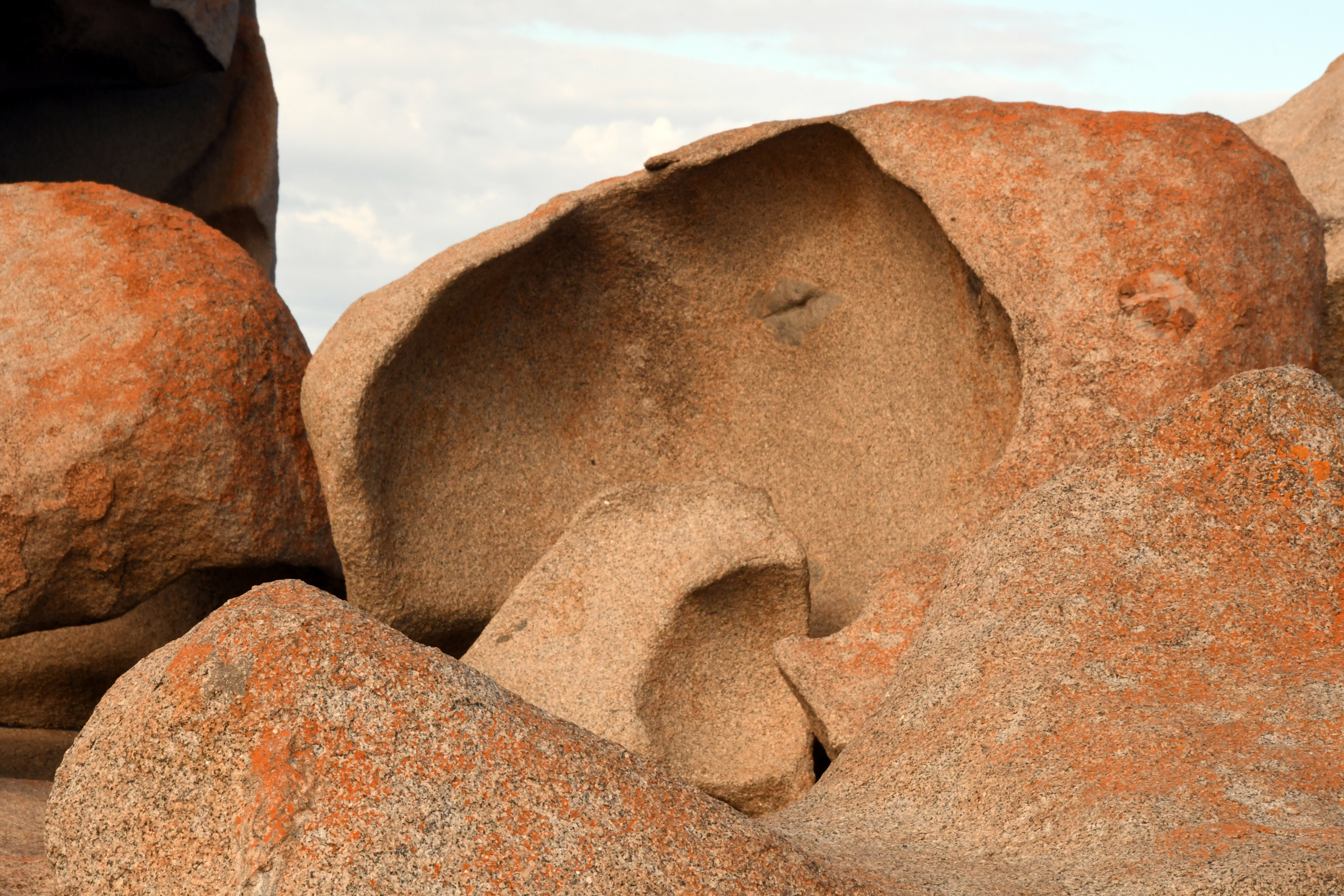
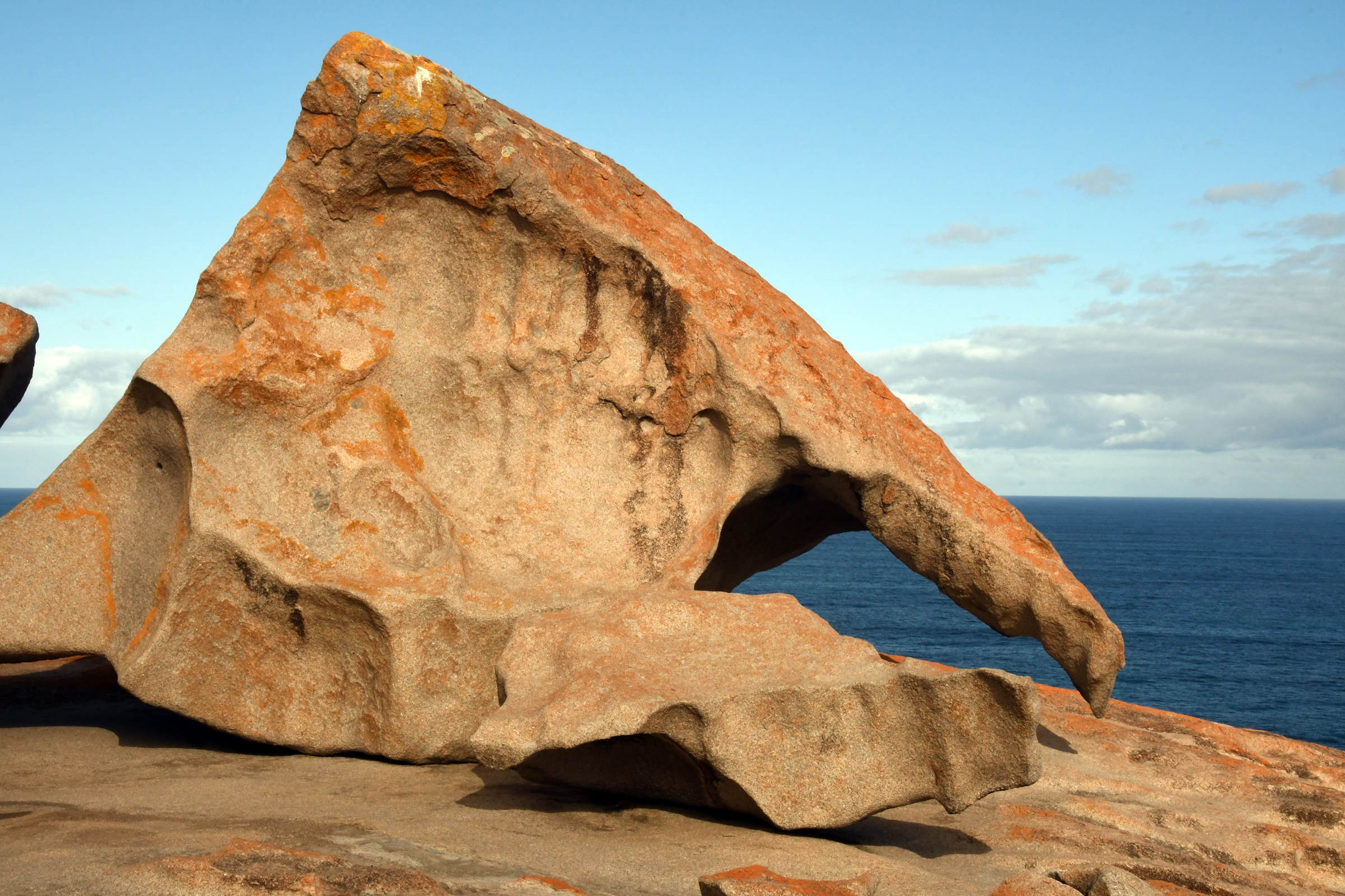
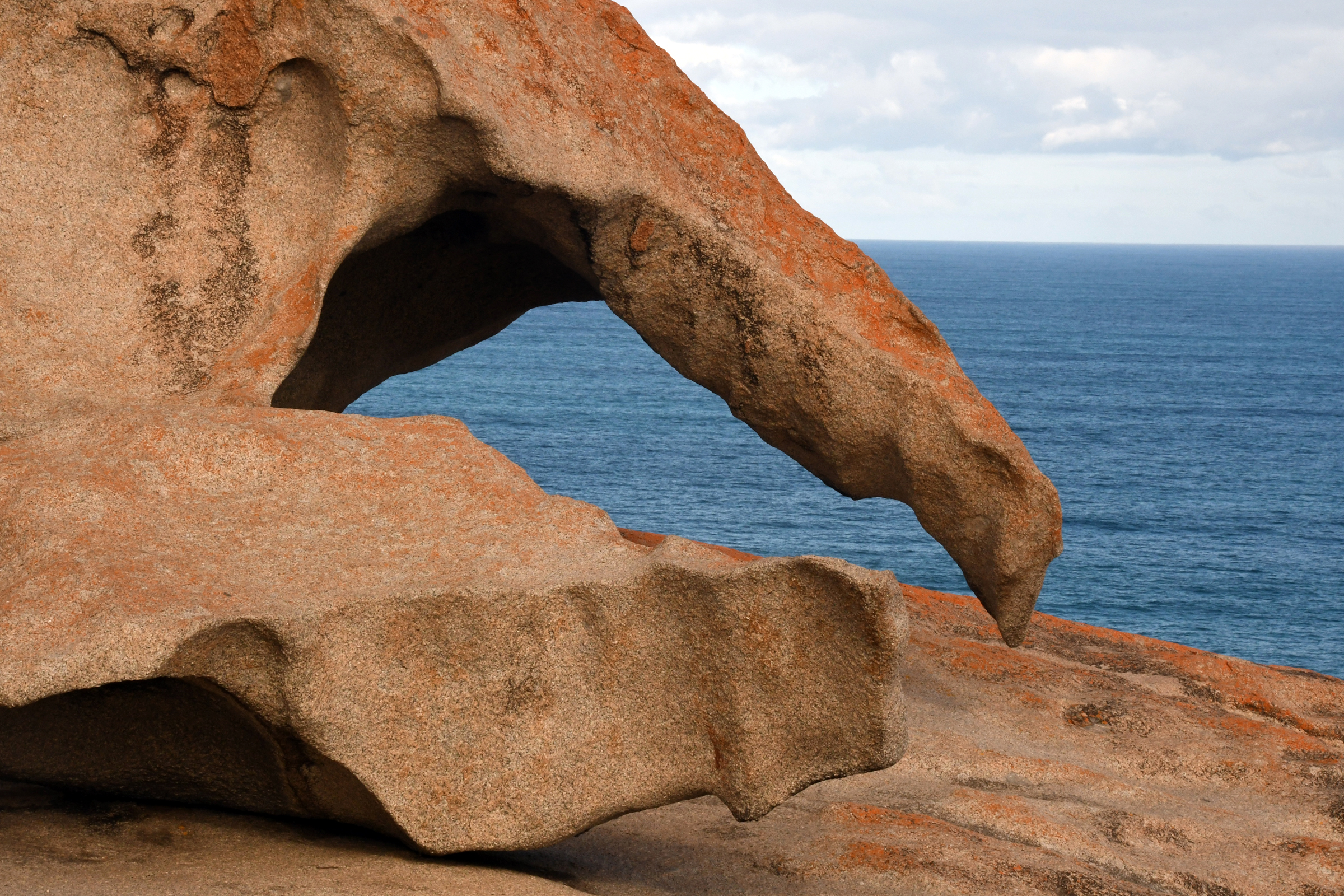
The rocks themselves are formed from a coarse granite, weathered and eroded over millions of years. It is also quite remarkable that visitors are allowed, indeed encouraged, to walk onto the
grante pluton and walk and climb amongst the rocks. The rocks are not slippery and the granite can withstand anything but a frenzied attack by a hammer. The was quite amazing to walk
around and look at the weird shapes, colours and textures that interplay with the sunlight. Hence the number of photographs...
| Arriving at the Remarkable Rocks. |
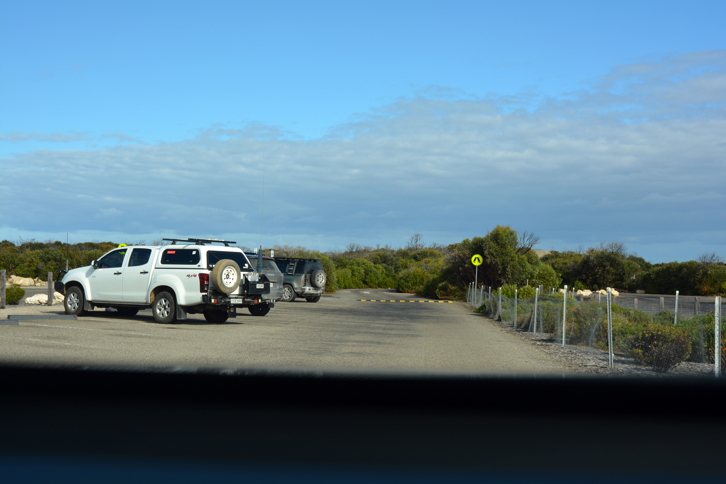
The car park. |
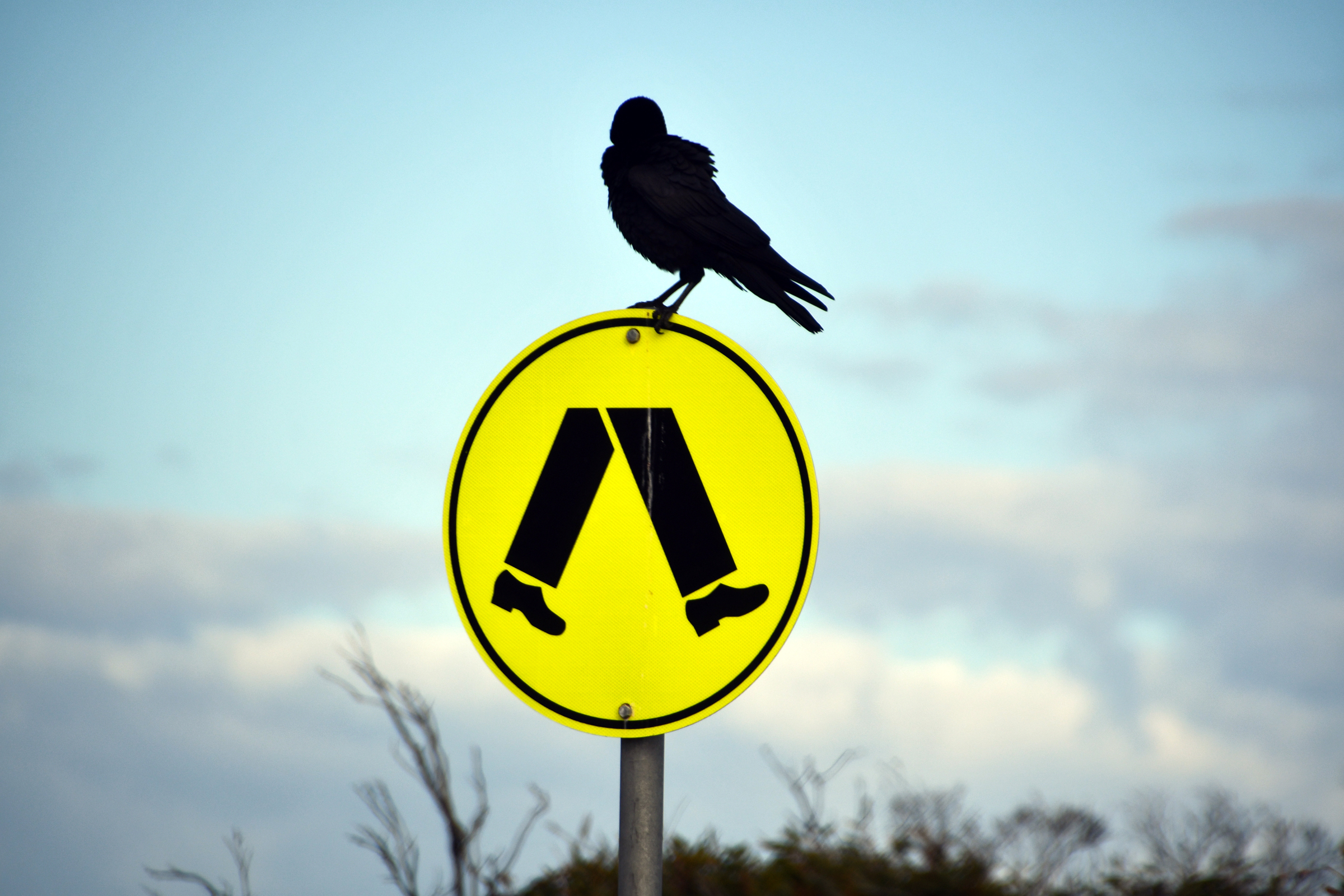
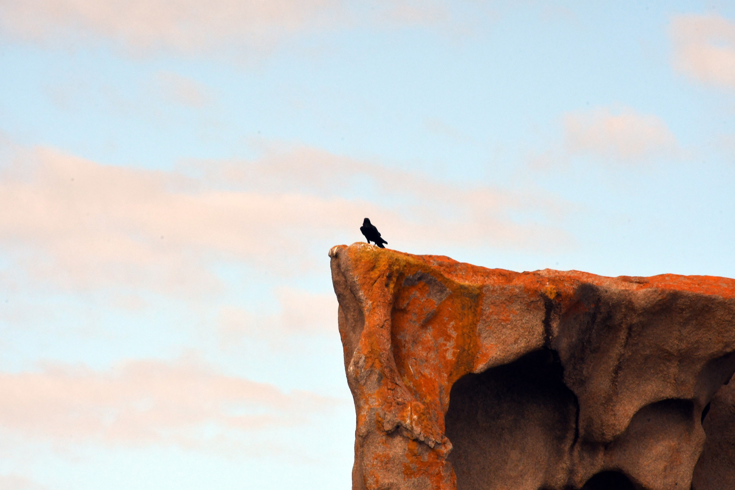
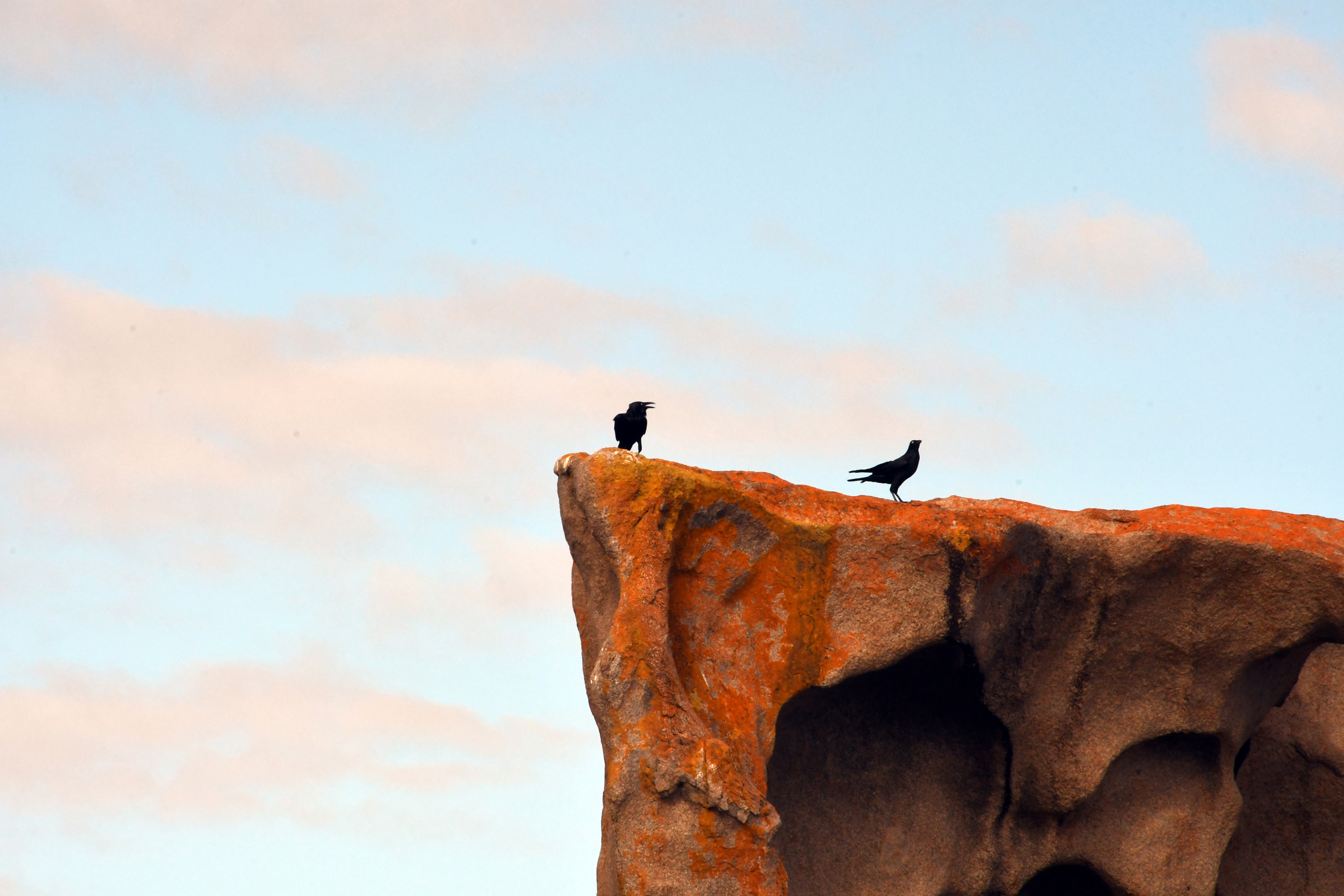
A crow wearing waders? |
|
|
|
| What had been the entrance track. |
What it was replaced by. |
Sculpted by wind and fire. |
|
|
|
|
|
|
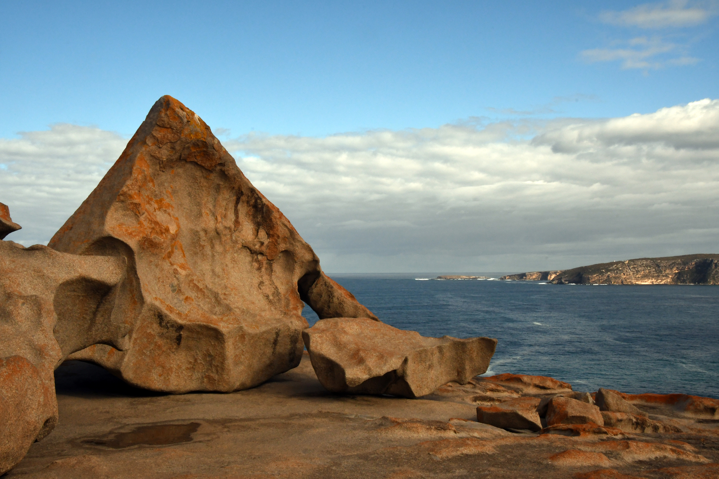
| Getting closer - looks like a dinosaur skull... |
|
|
|
|
|
|
|
|
|
|
|
|
|
|
| This rock reminds me of something... |
Perhaps this record cover? |
|
|
|
|
|
|
|
|
|
|
|
|
|
|
|
|
|
|
|
|
|
|
|
|
|
|
|
|
|
|
|
|
|
|
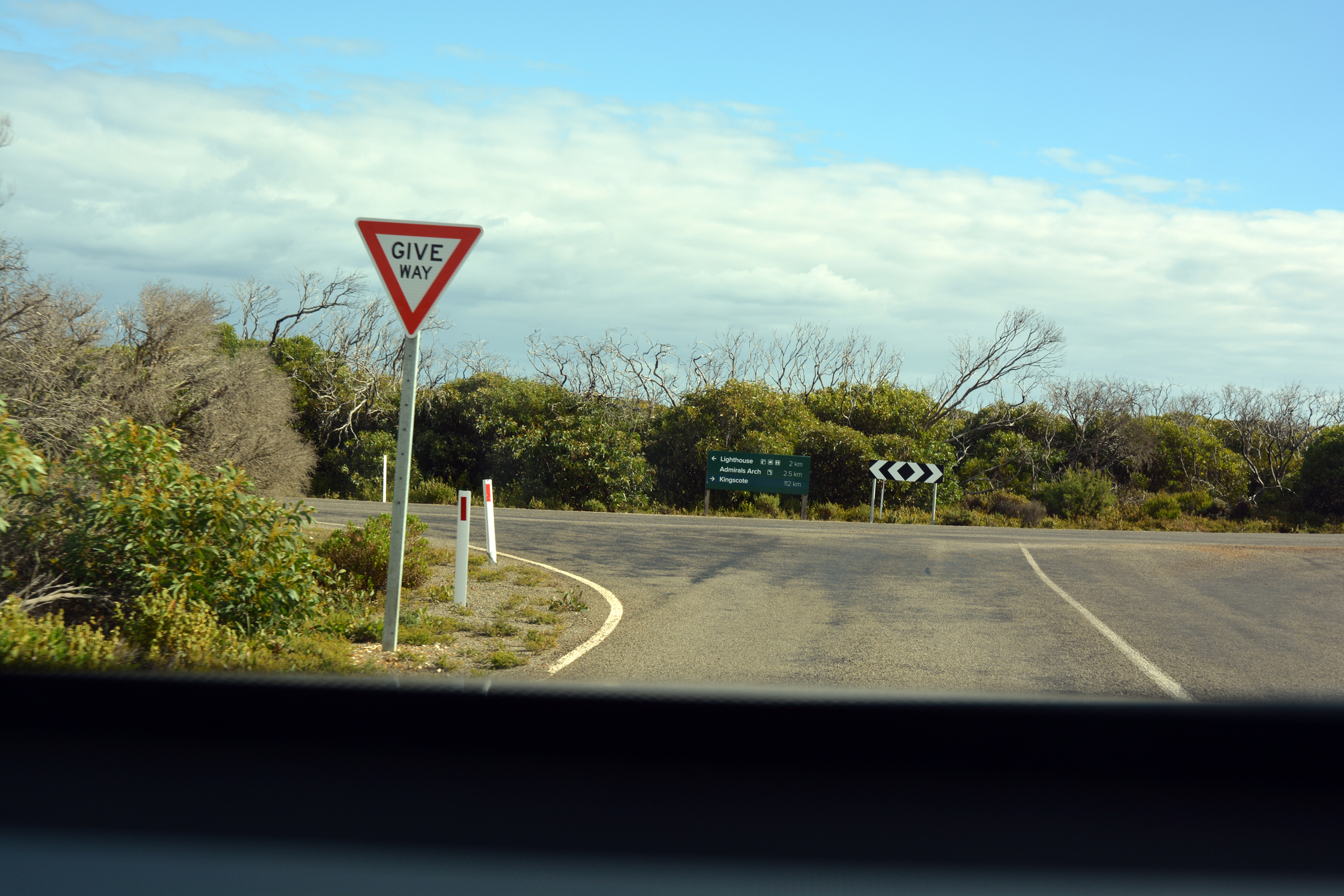
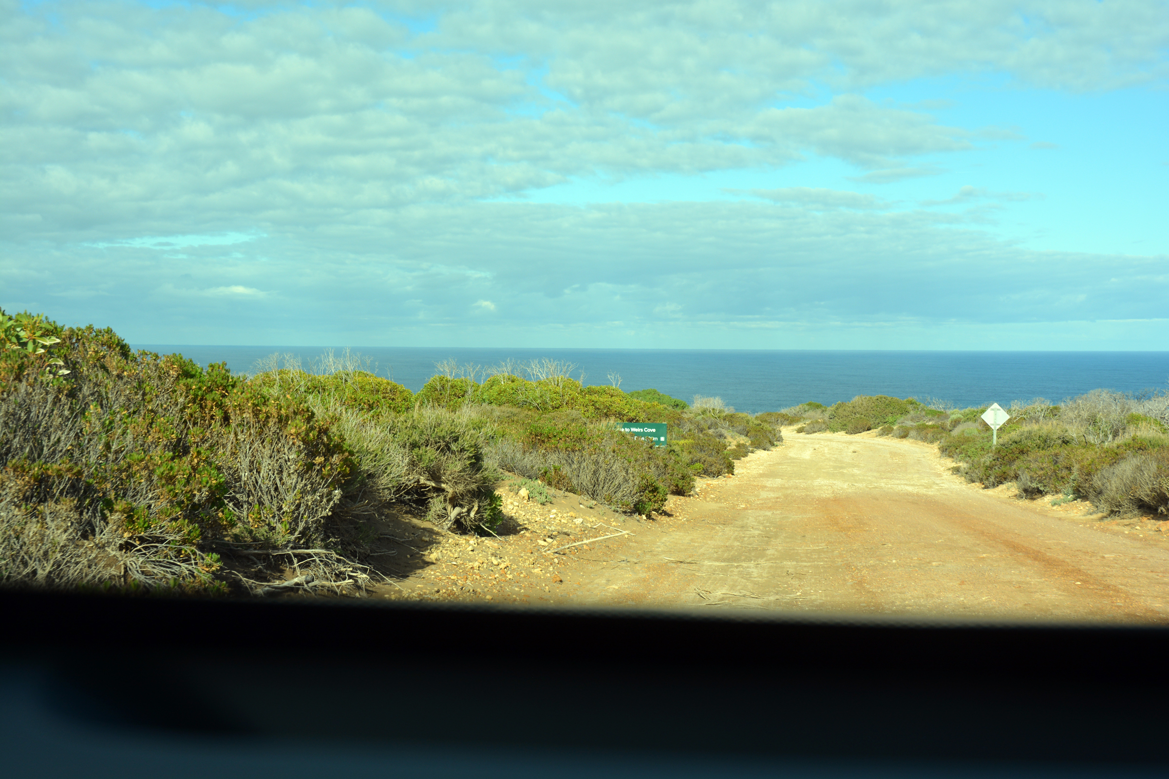
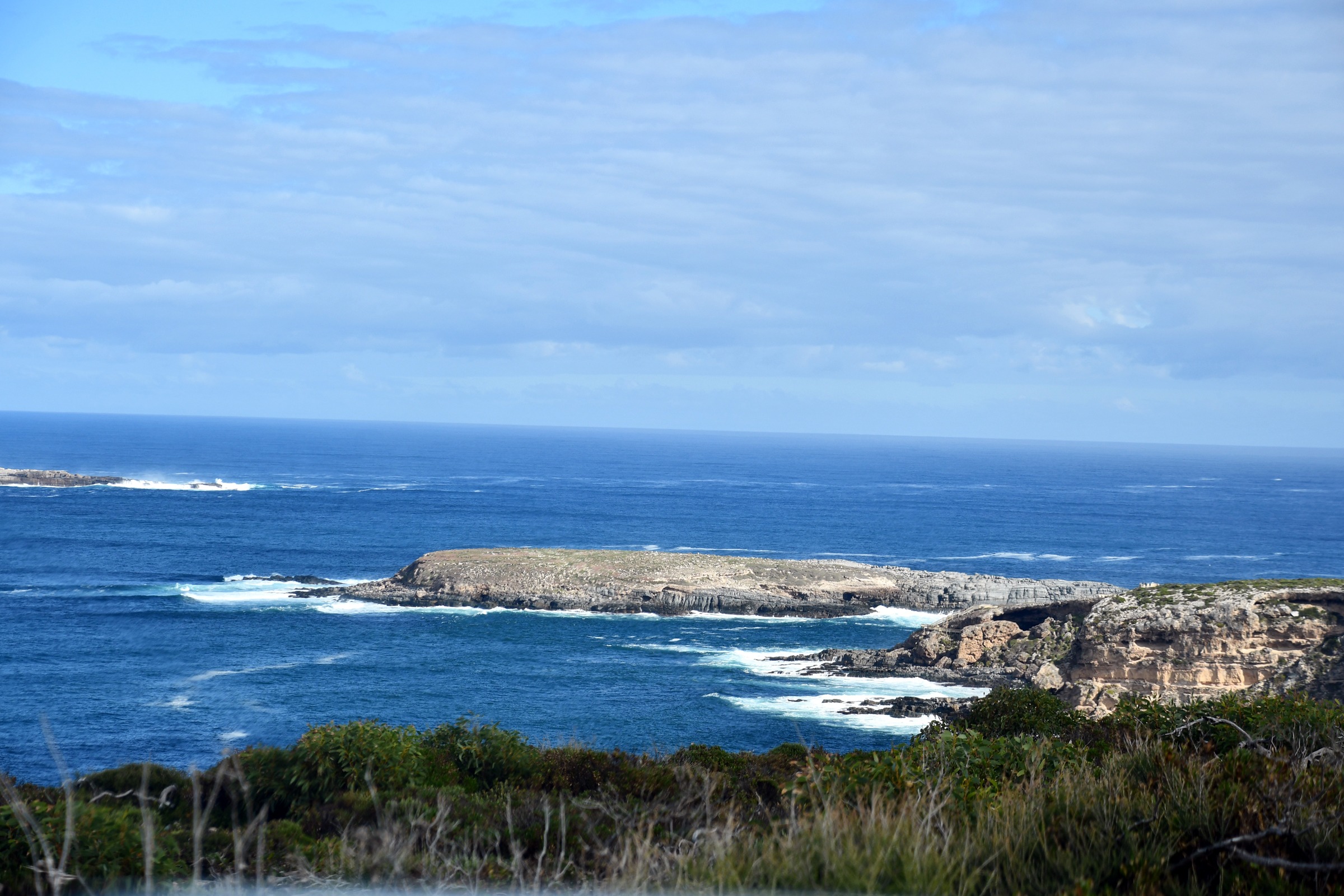
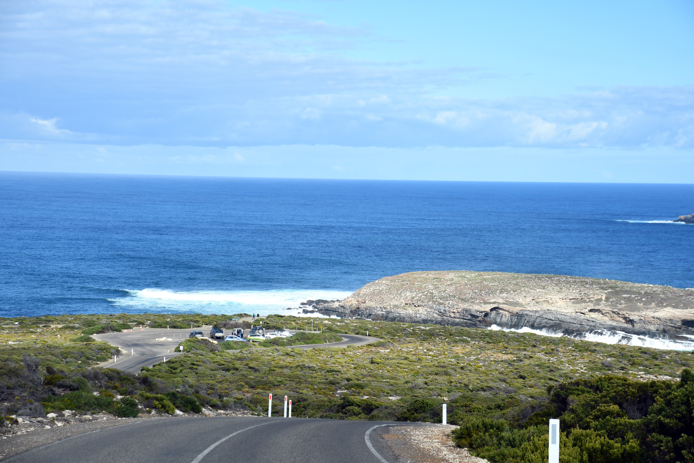
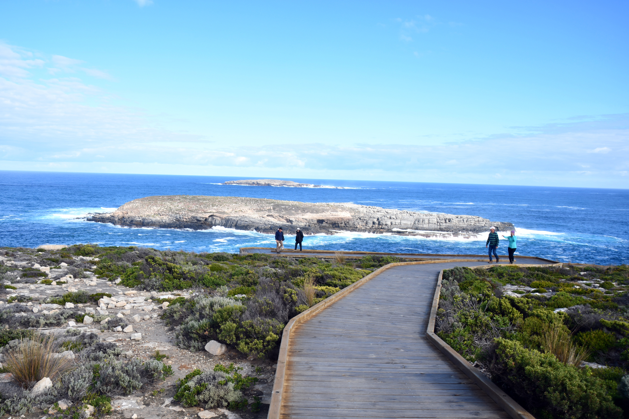
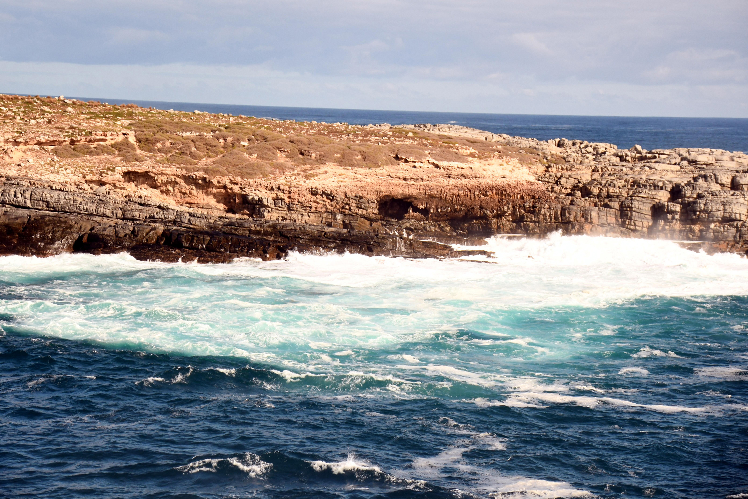
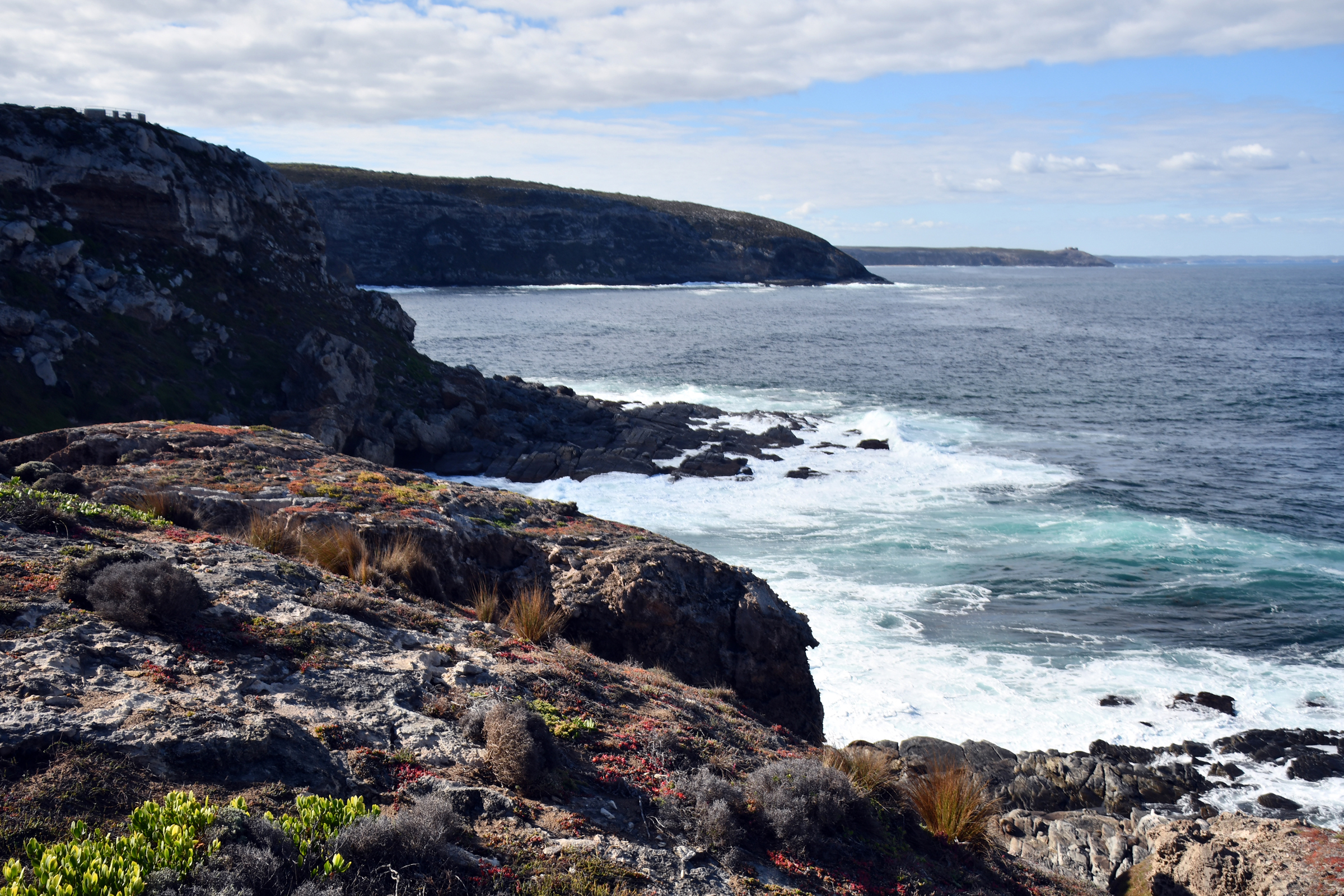
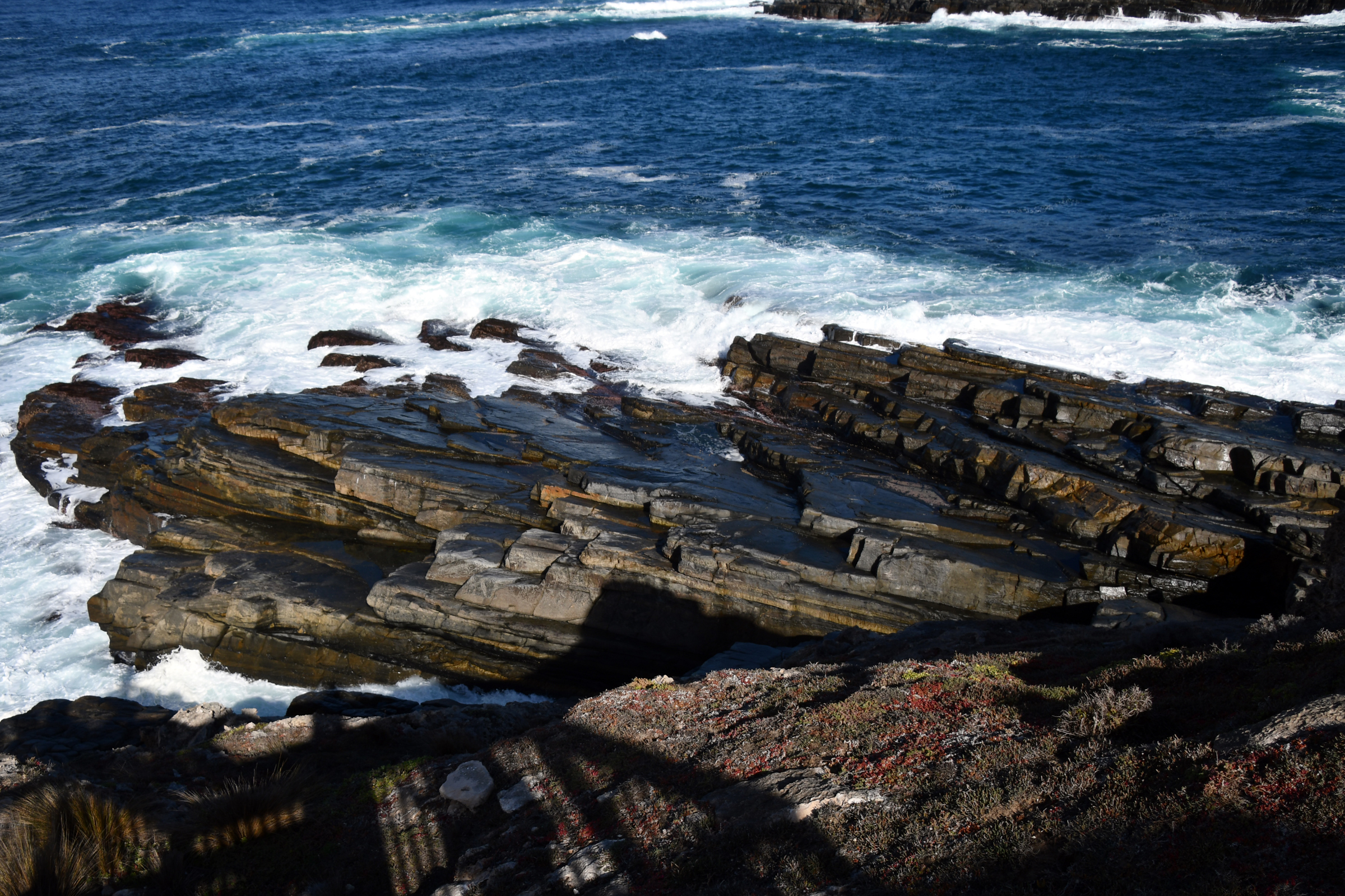
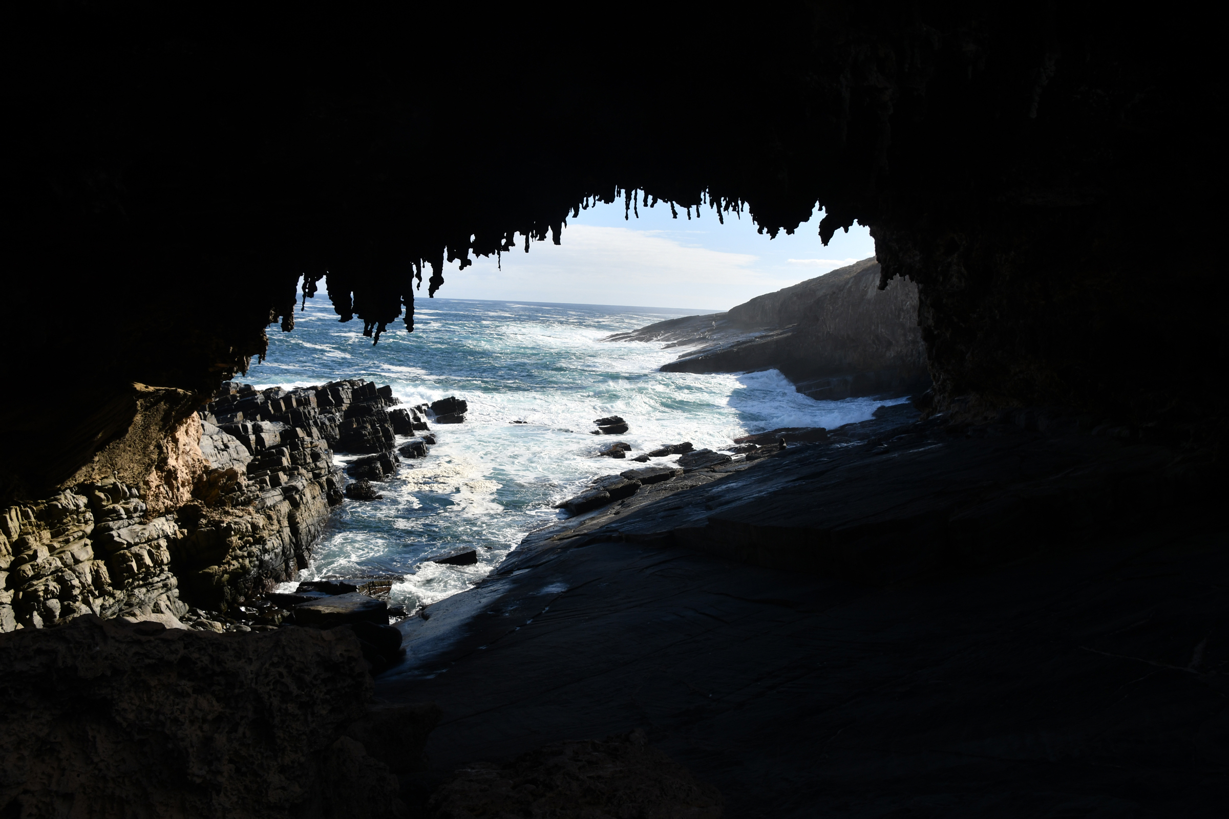
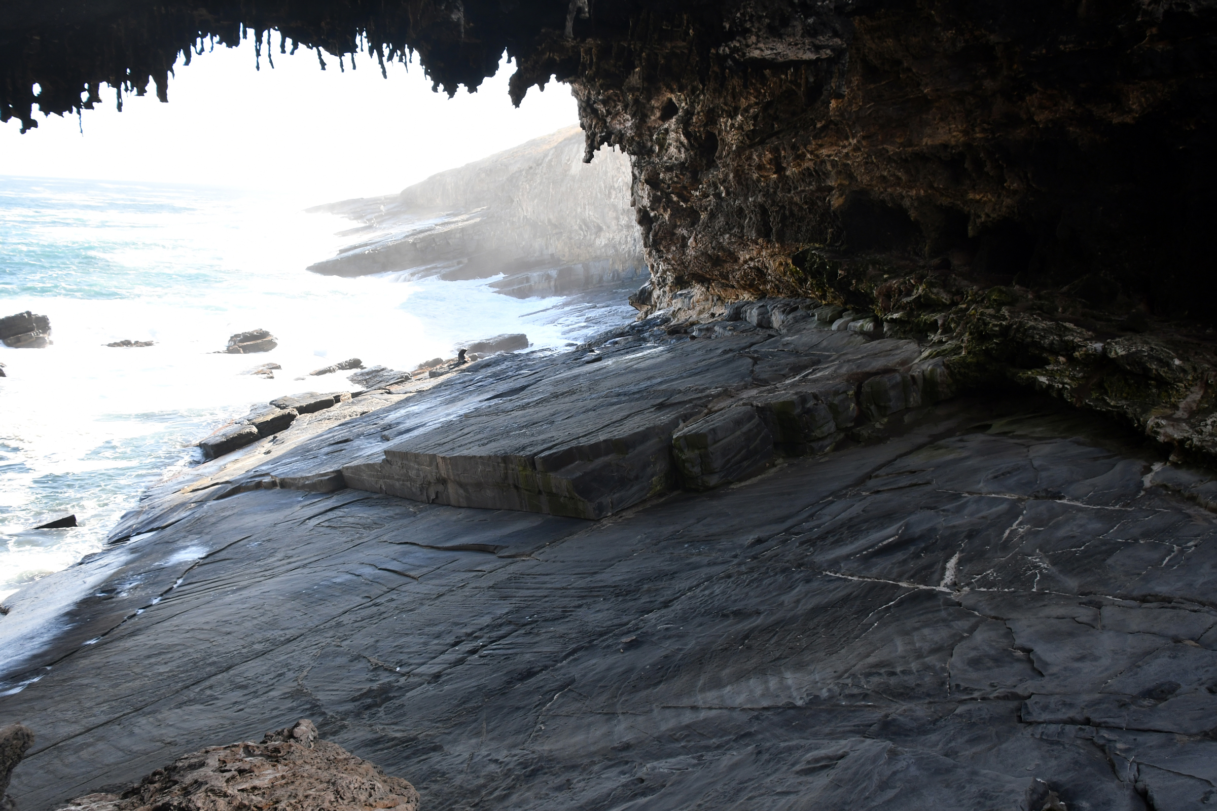
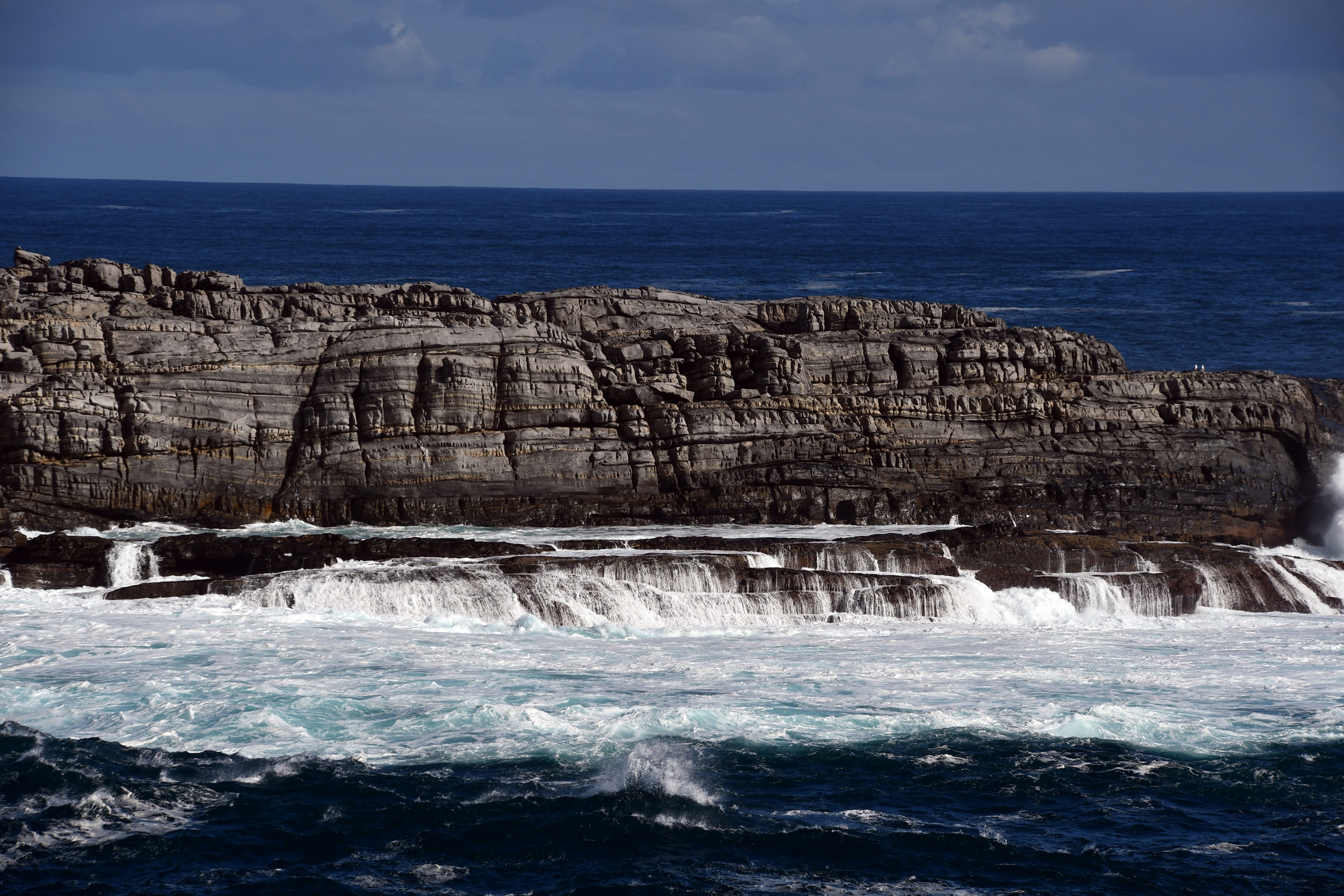
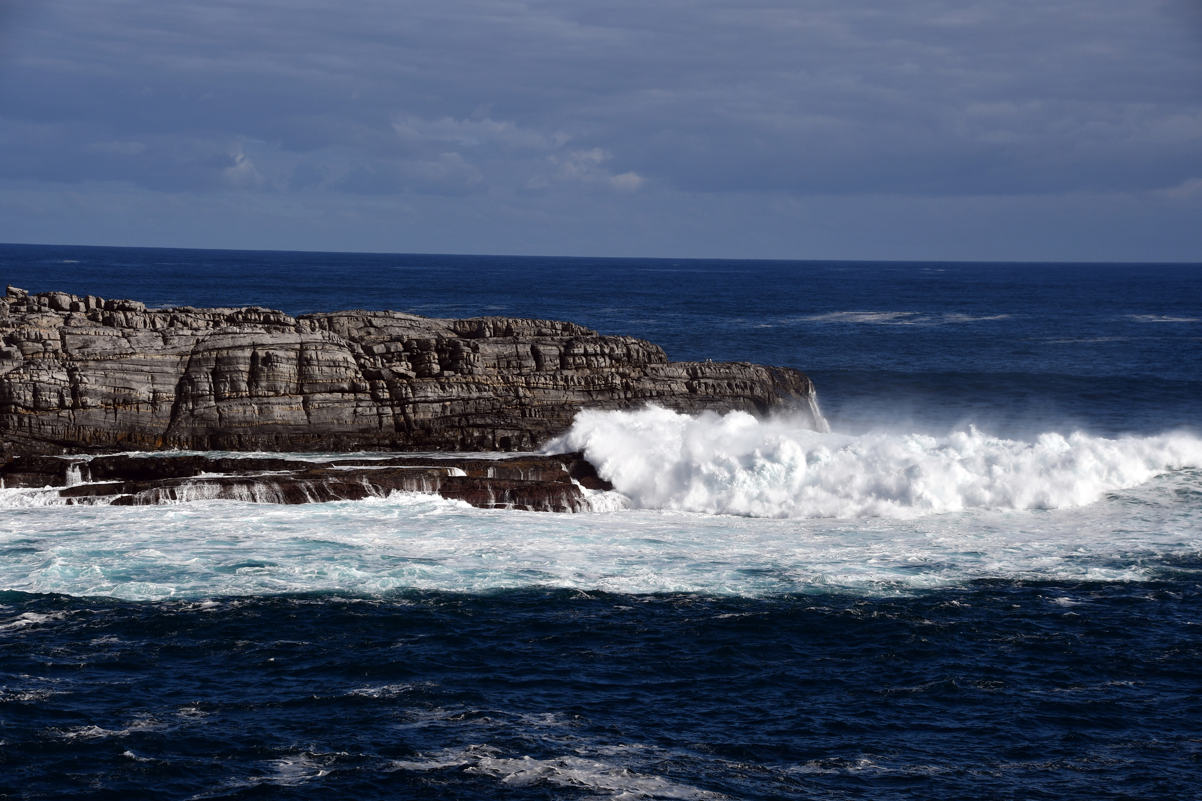
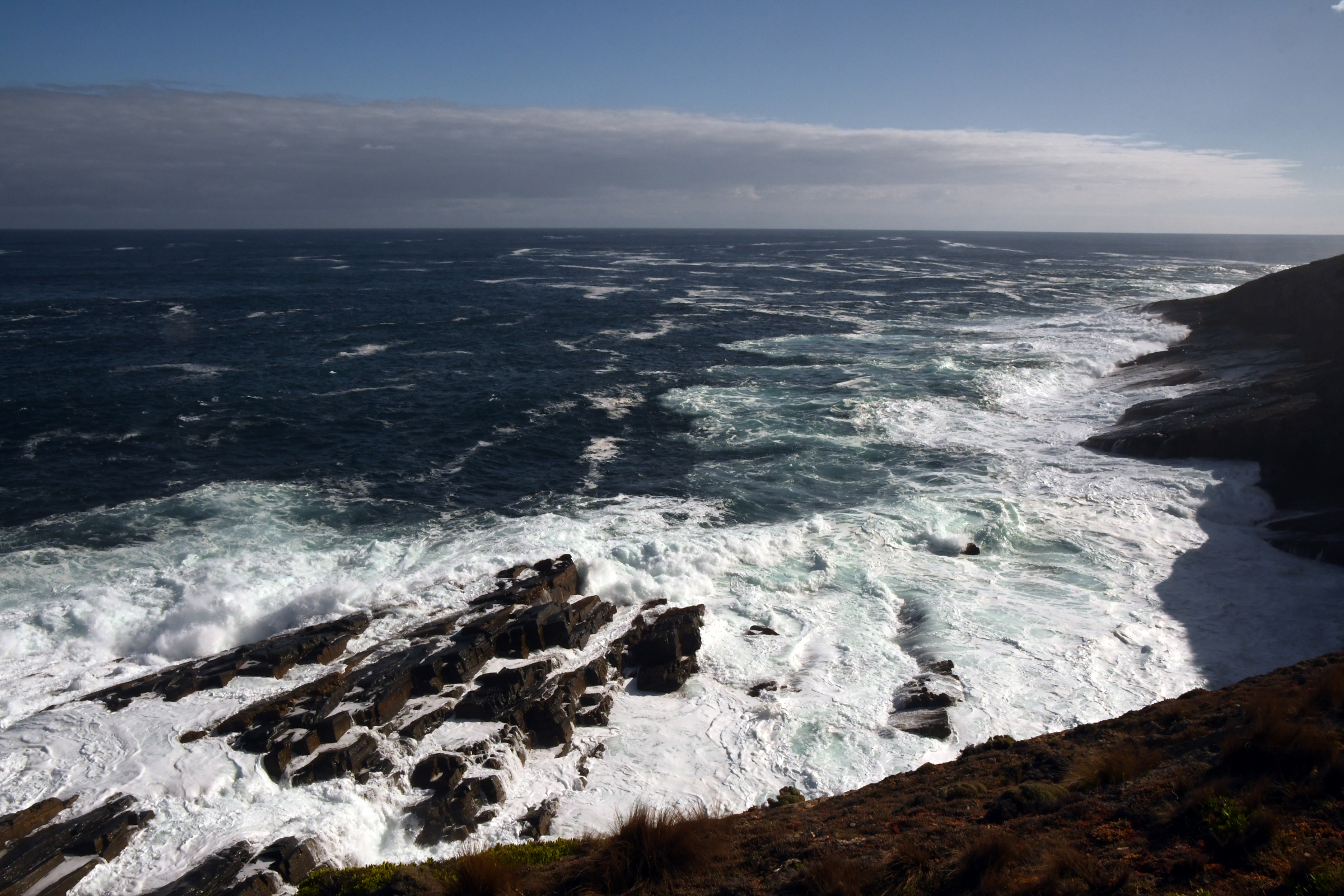
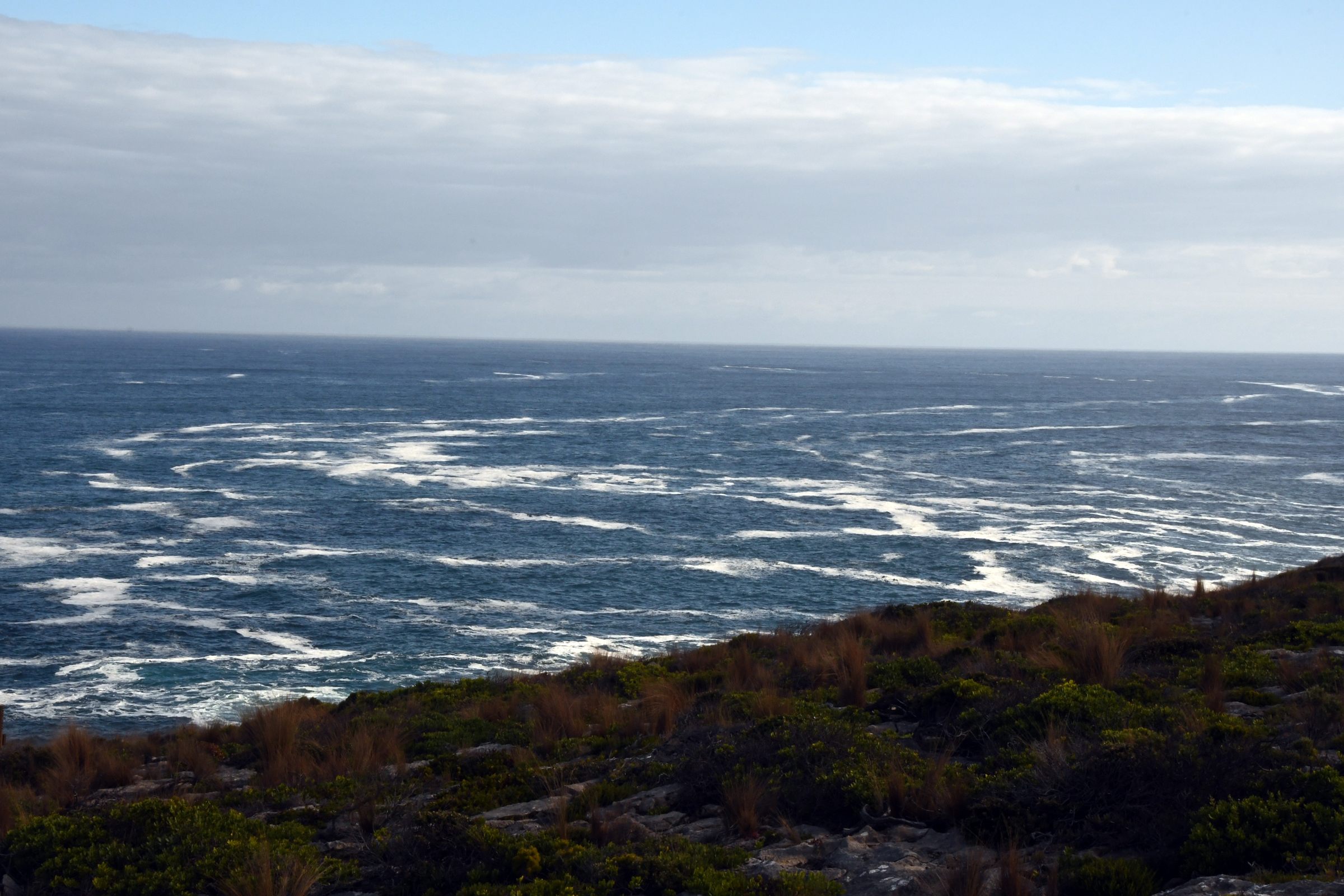
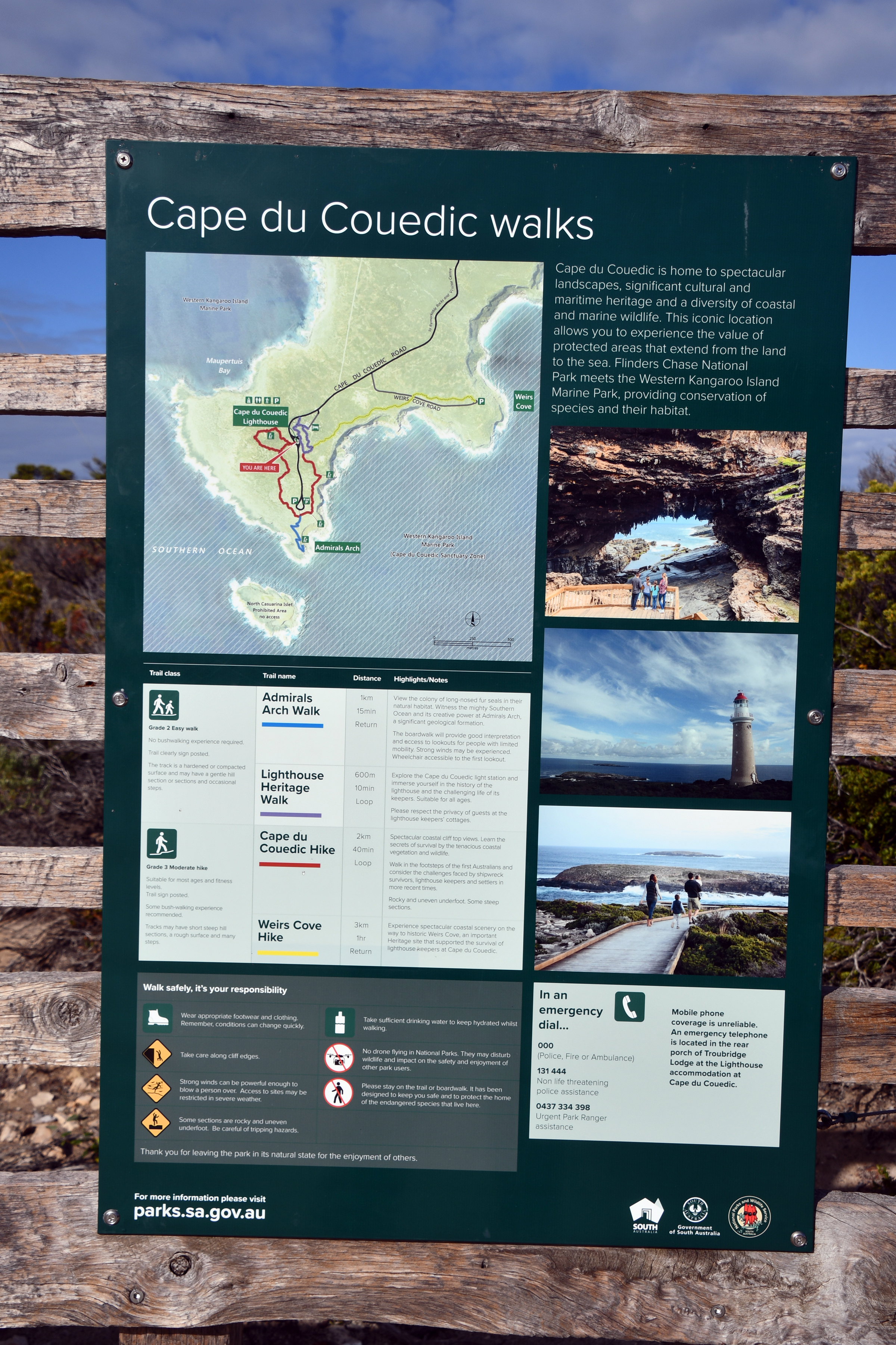
Flinders Chase National Park - Weir's Lookout and Admiral's Arch
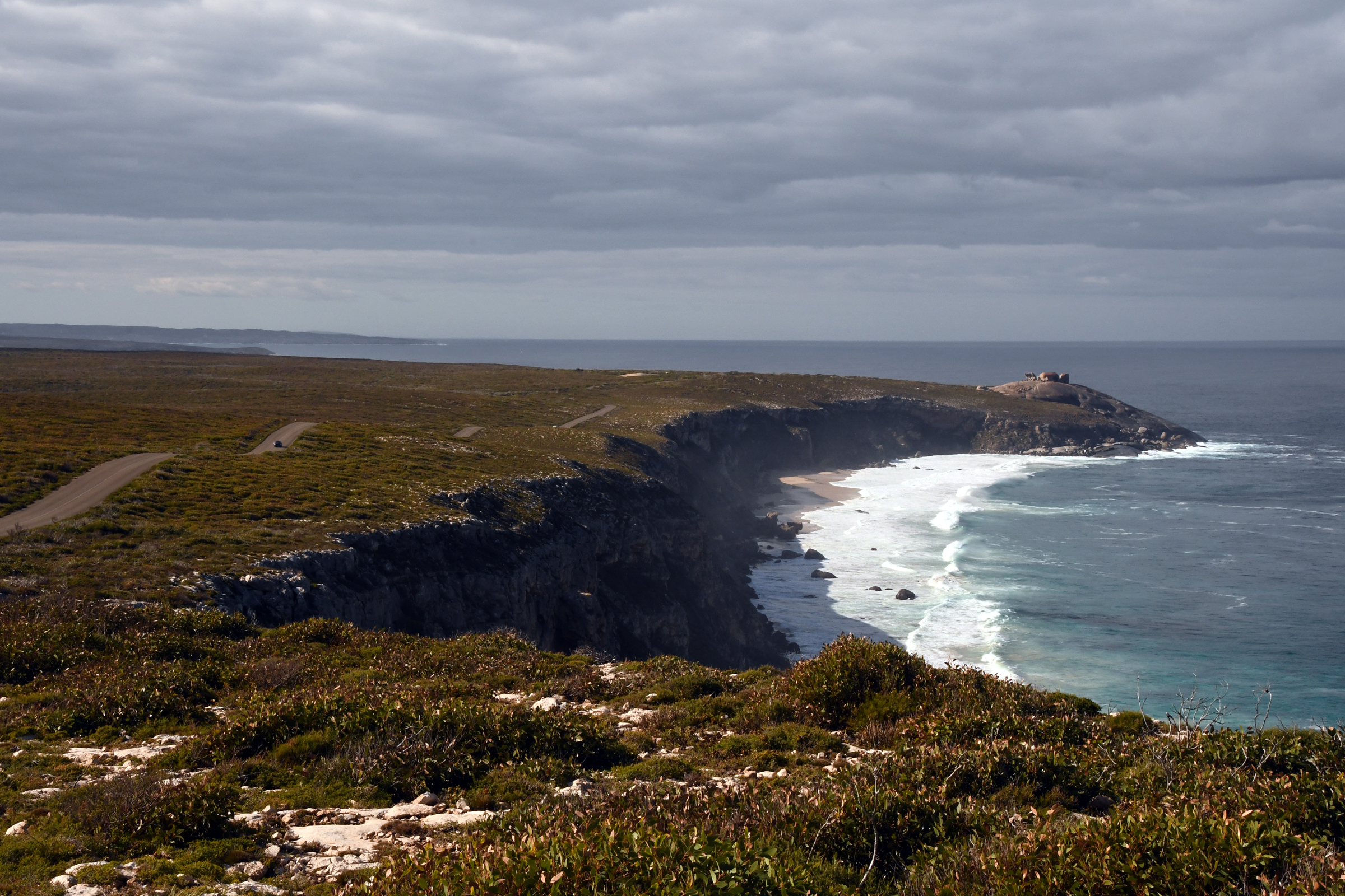
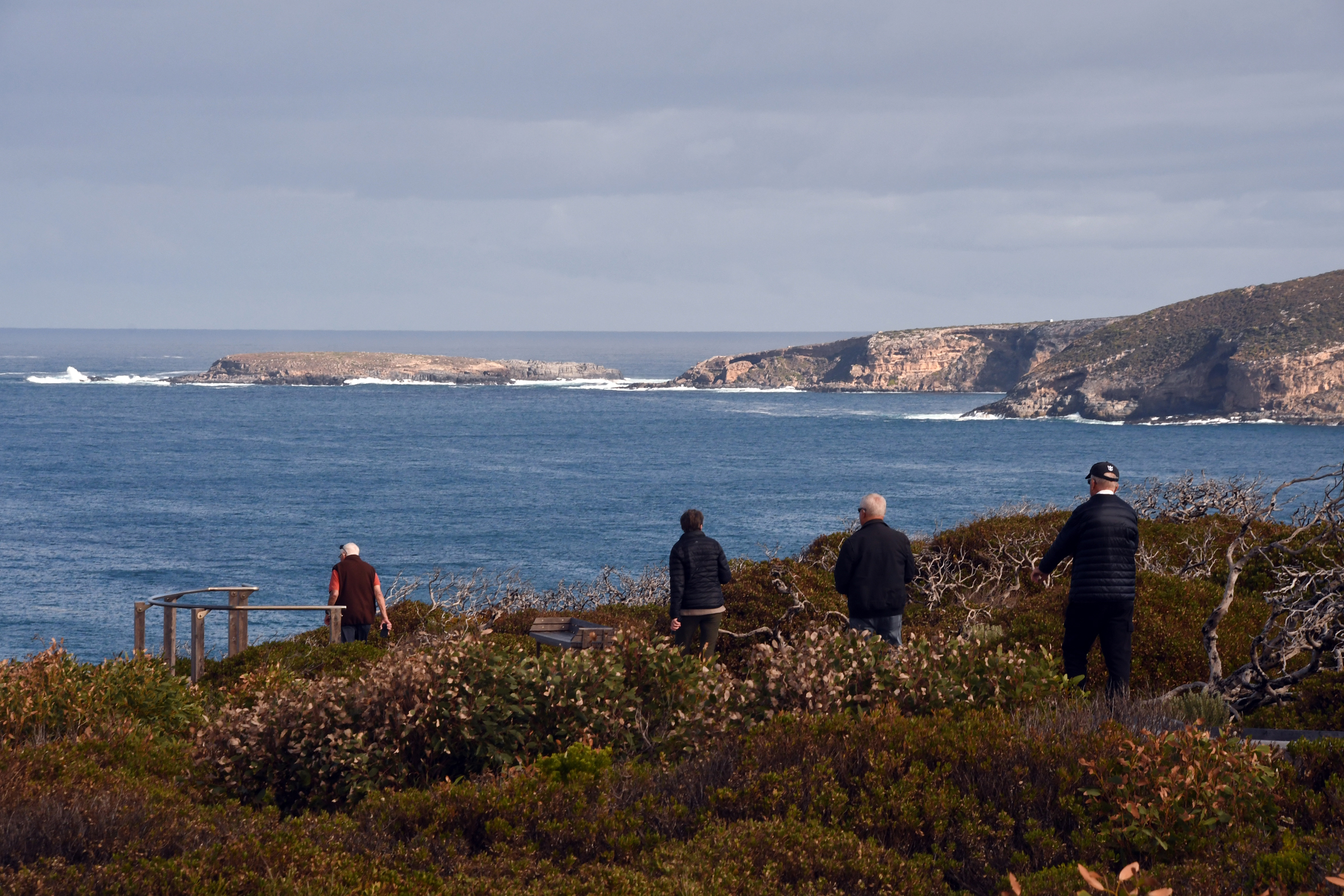
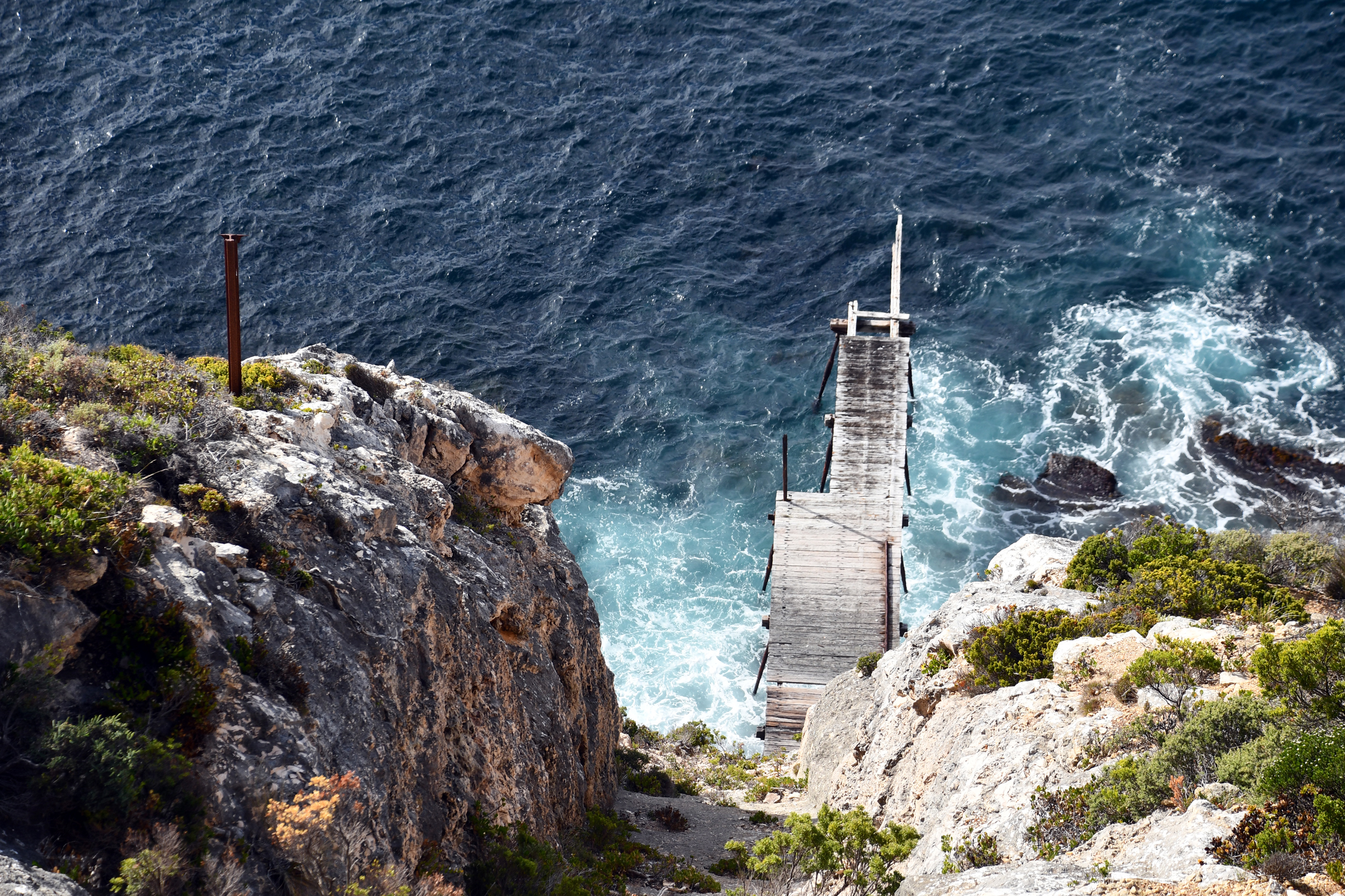
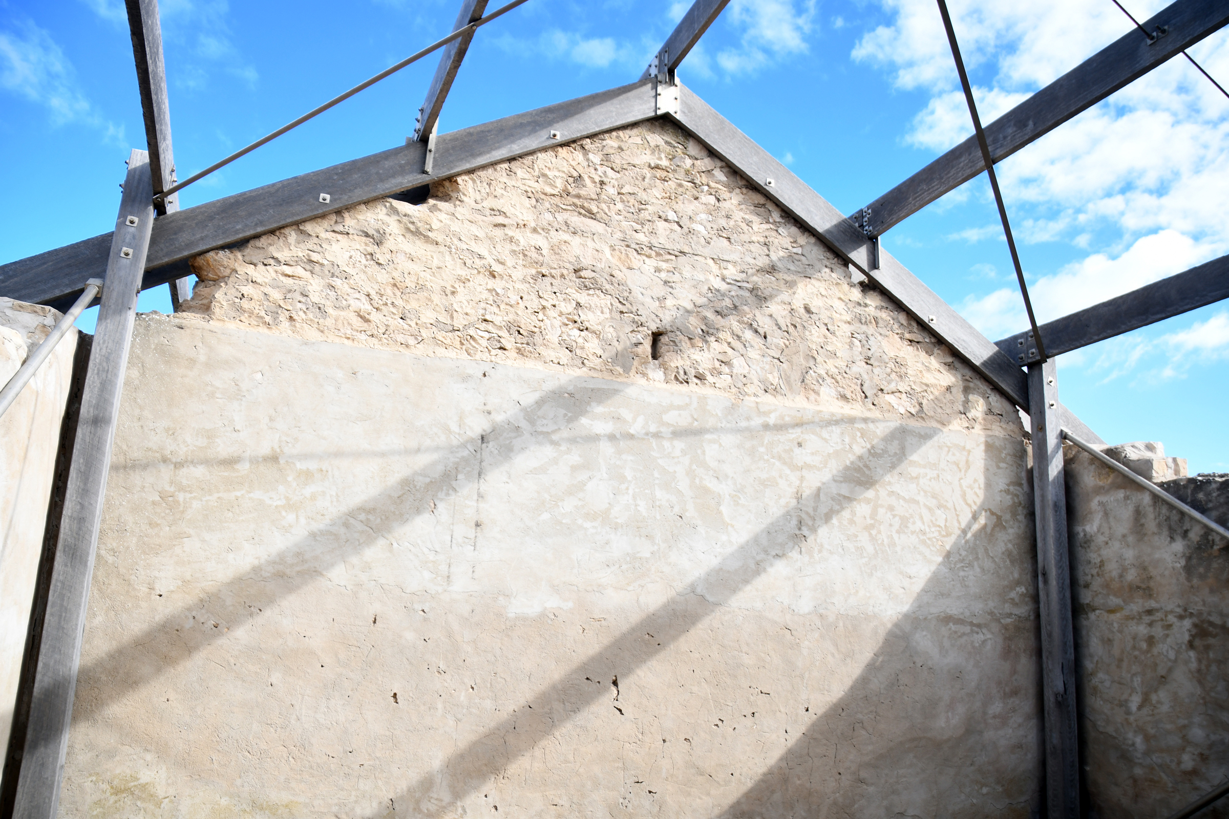
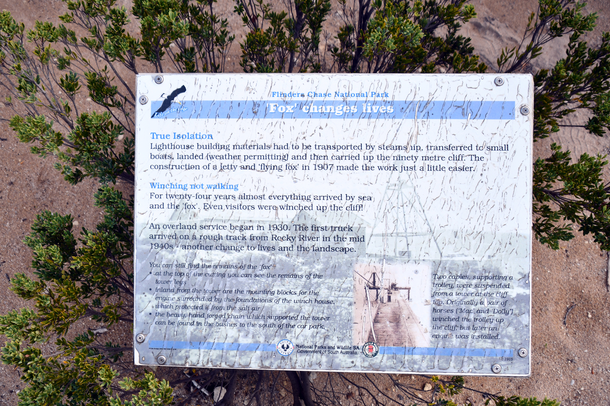
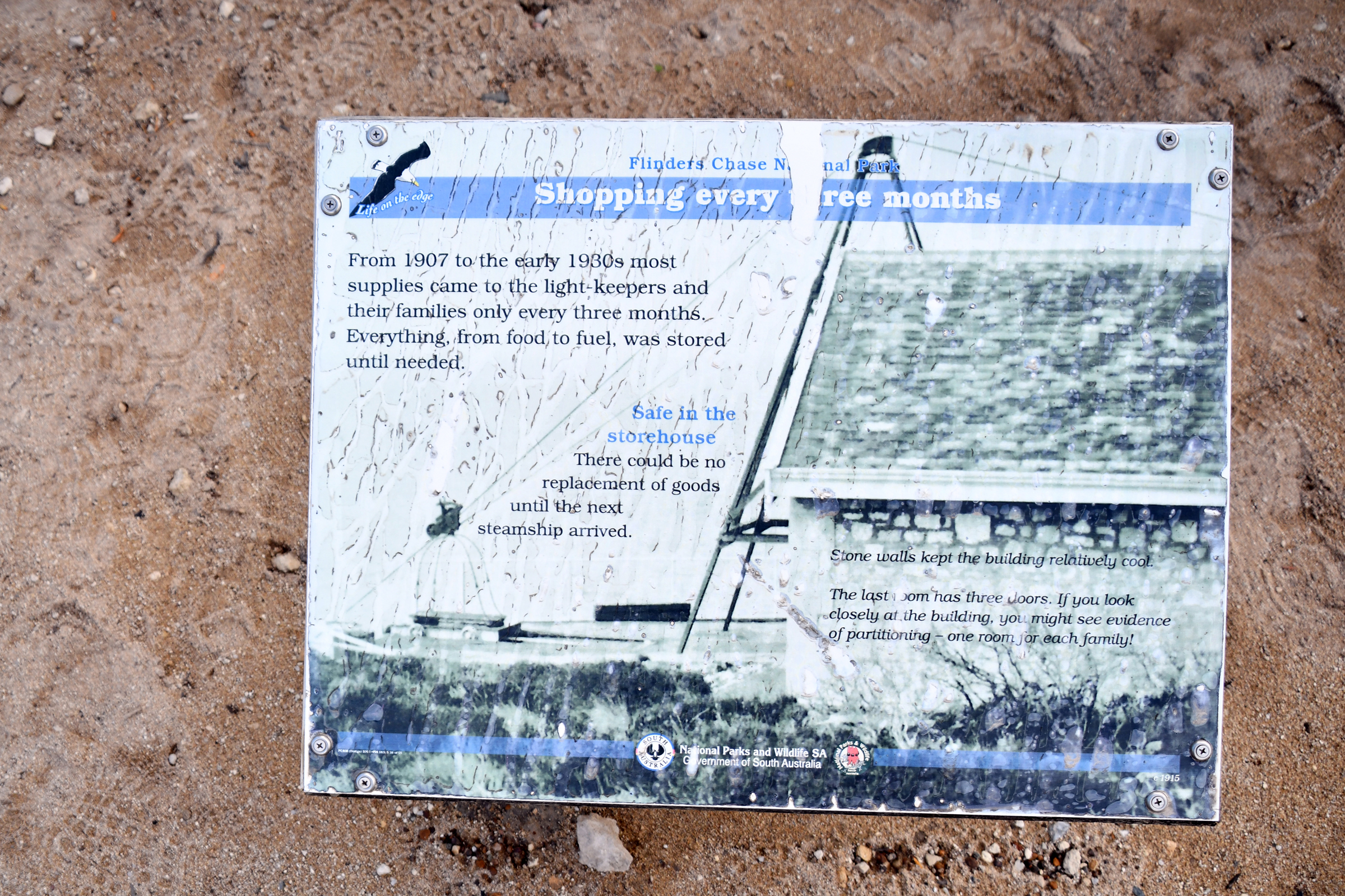
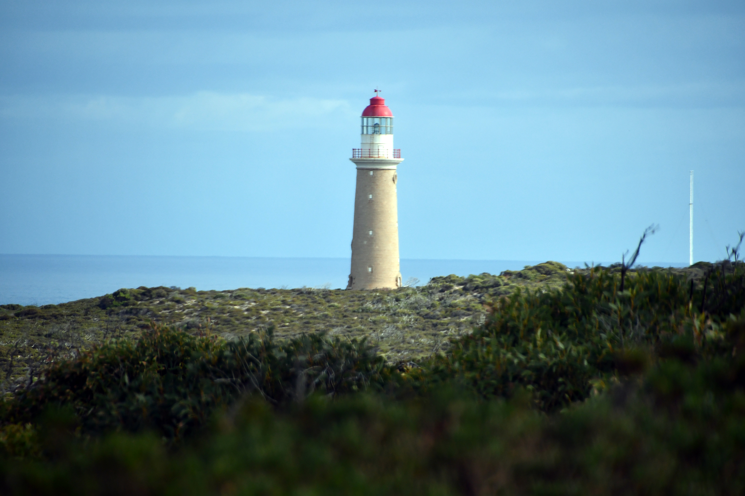
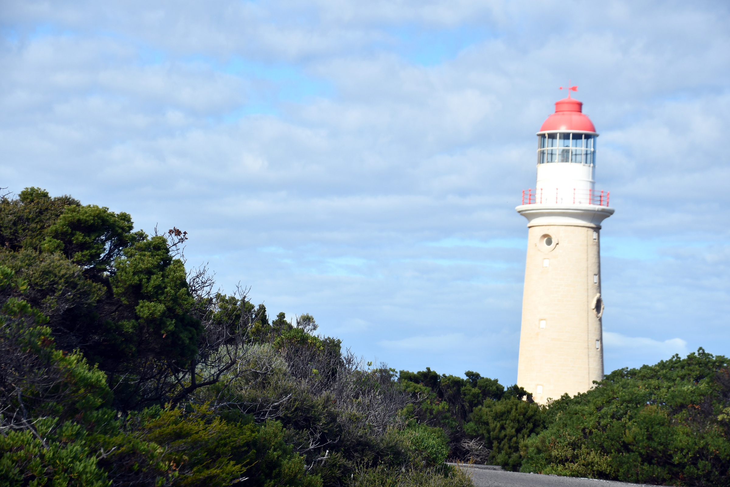
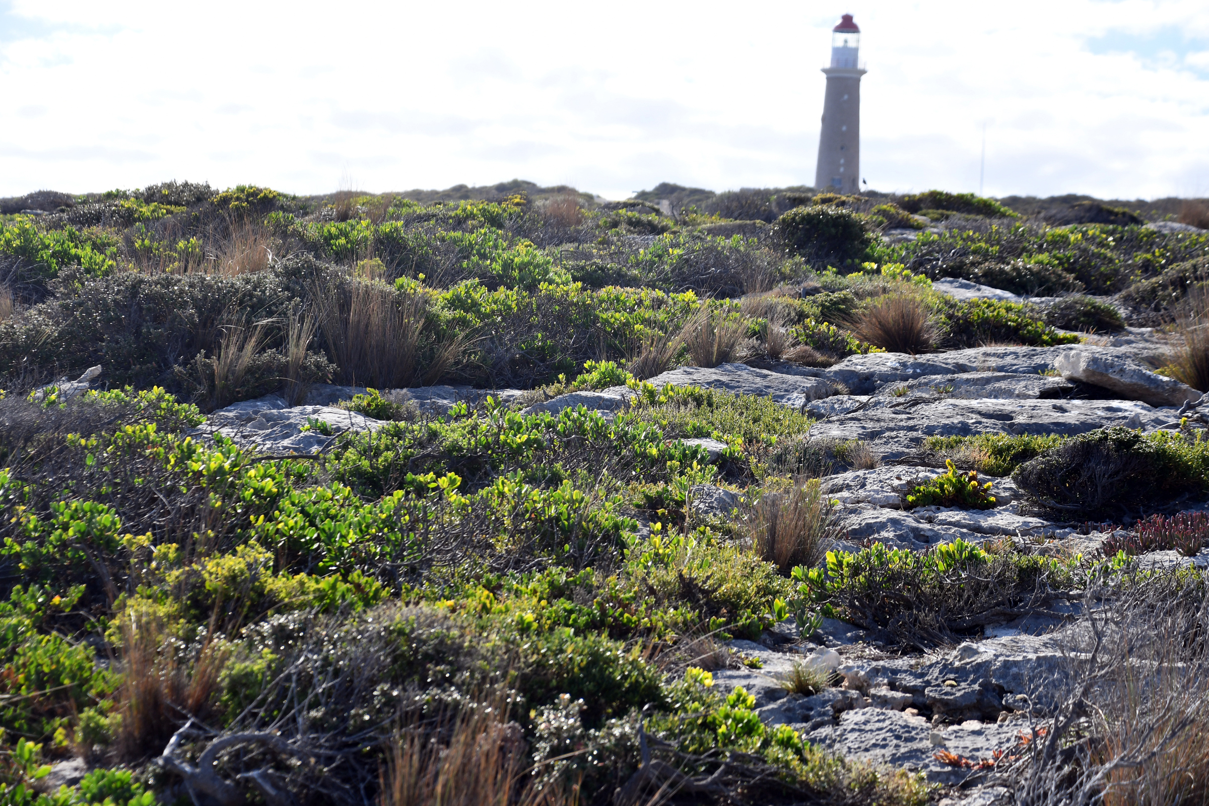
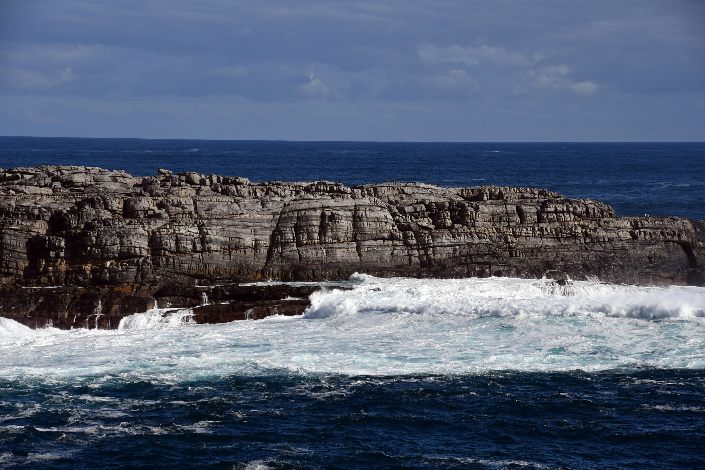
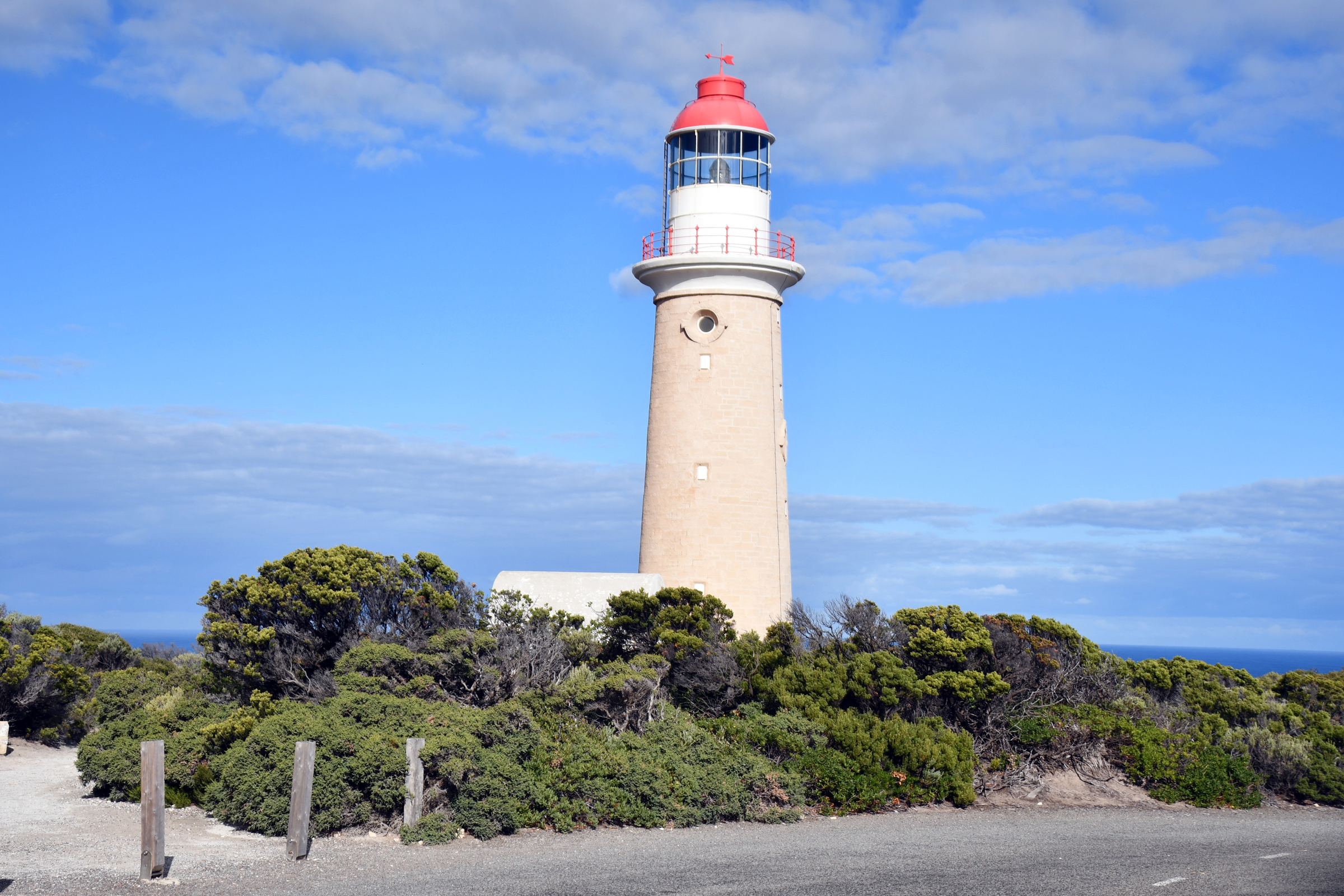
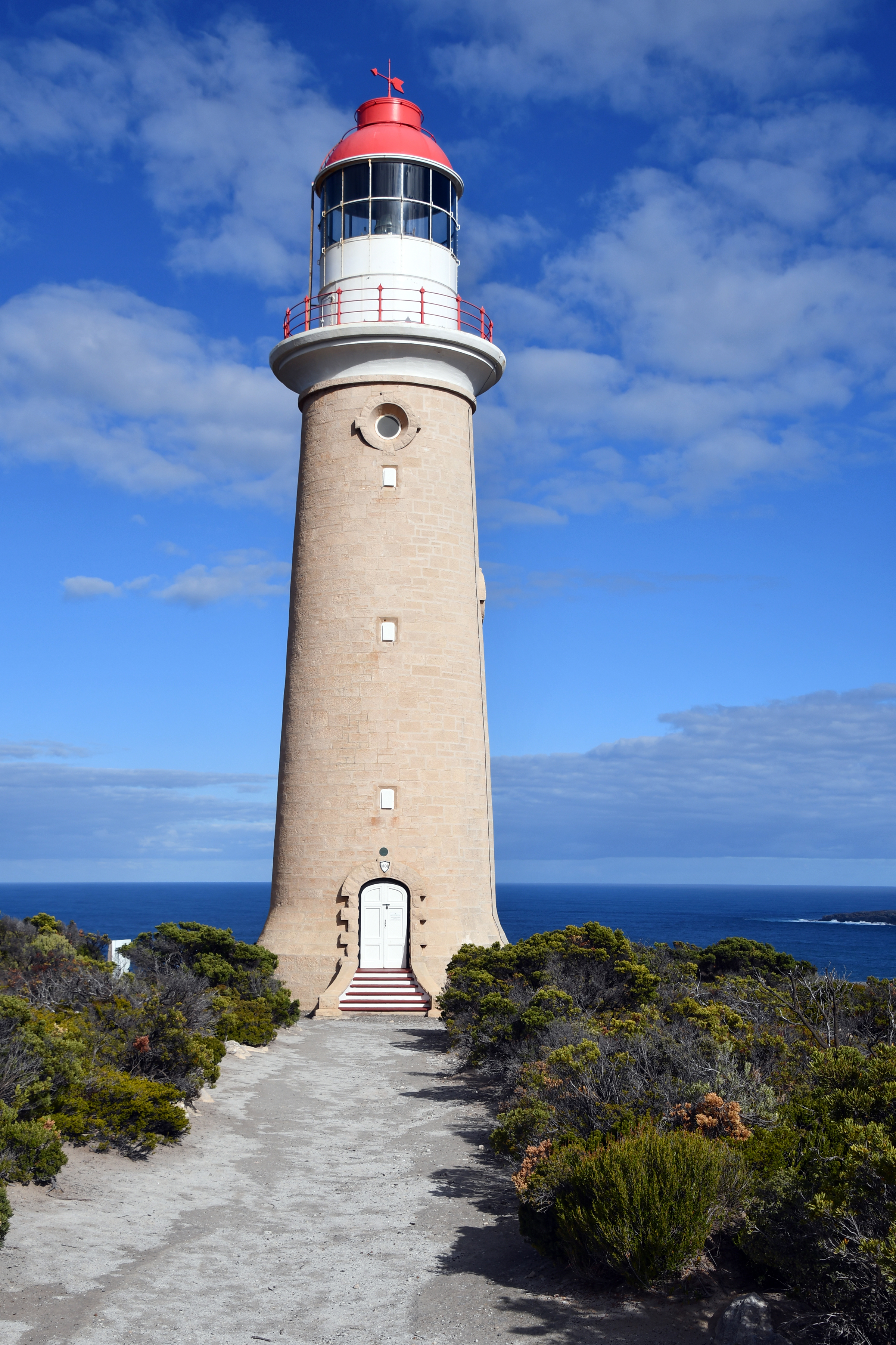
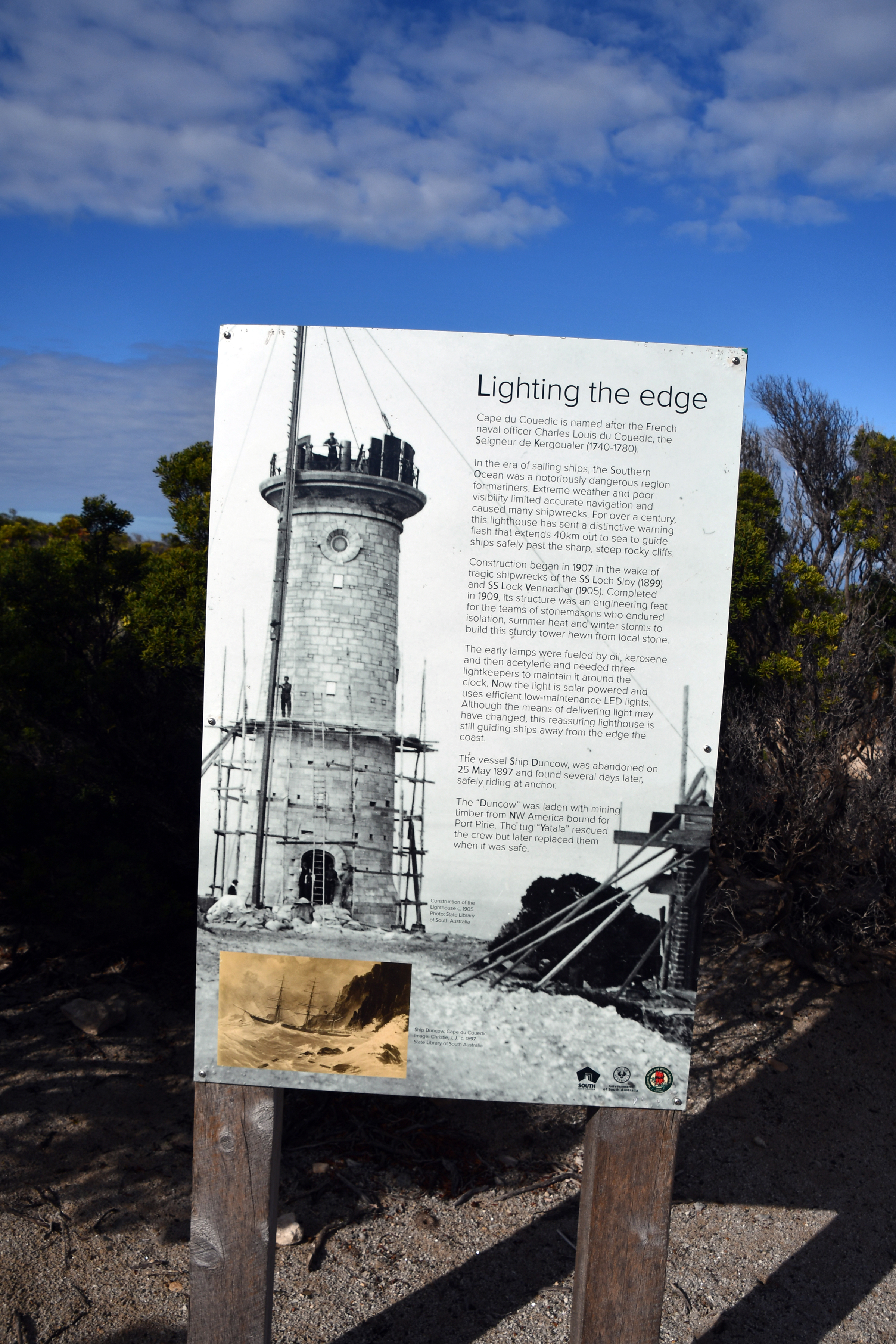
At the southwest tip of Kangaroo Island lies the Cape de Coeudic Lighthouse and nearby is Weir's Lookout and Admiral's Arch.The lookout was the site of a jetty and cableway that allowed the
early lighthouse keepers to land food and stores for the light and their families. The light is now automated and the cottages have been turned into comfotable accommodation. The car park at the end
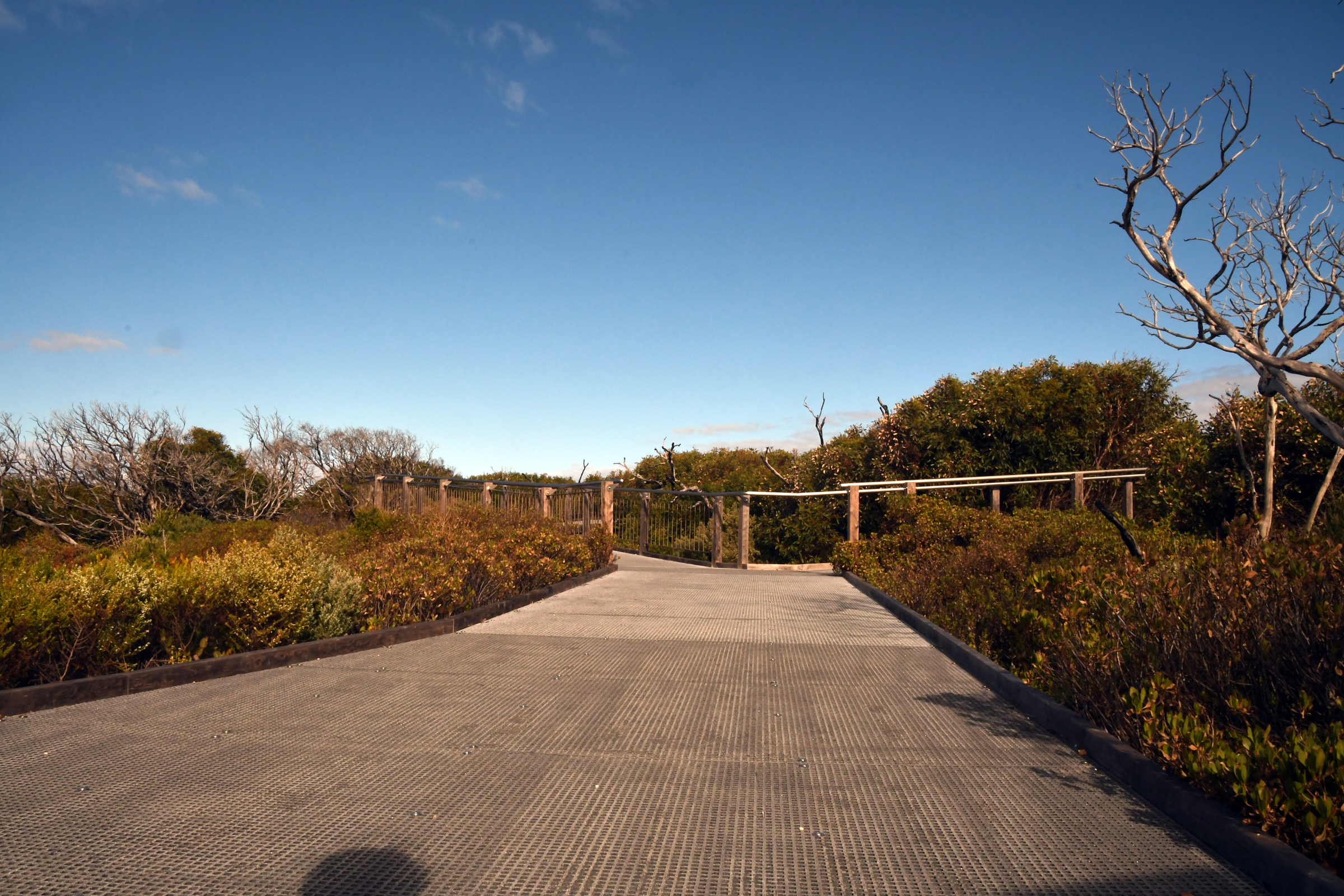
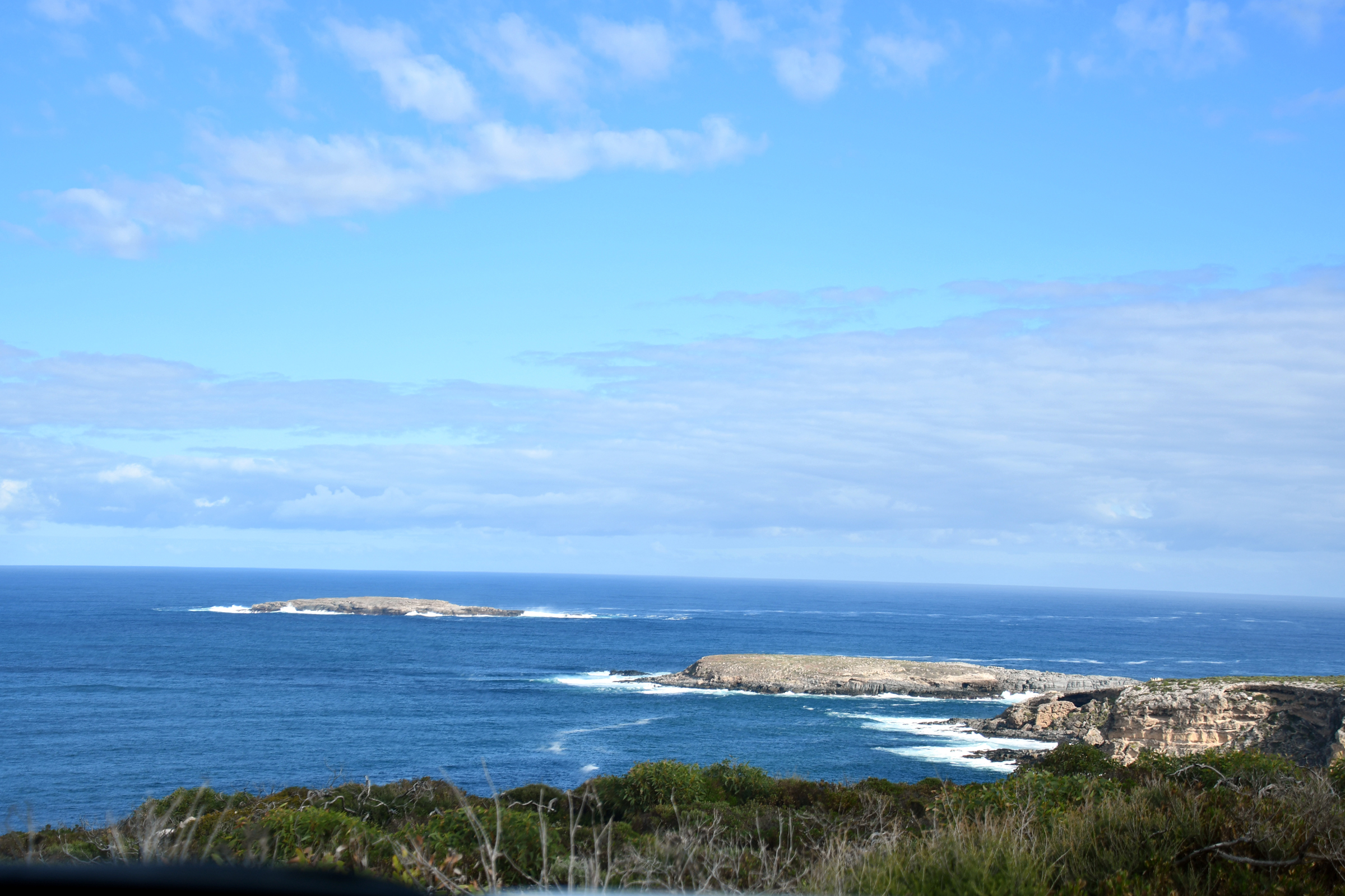
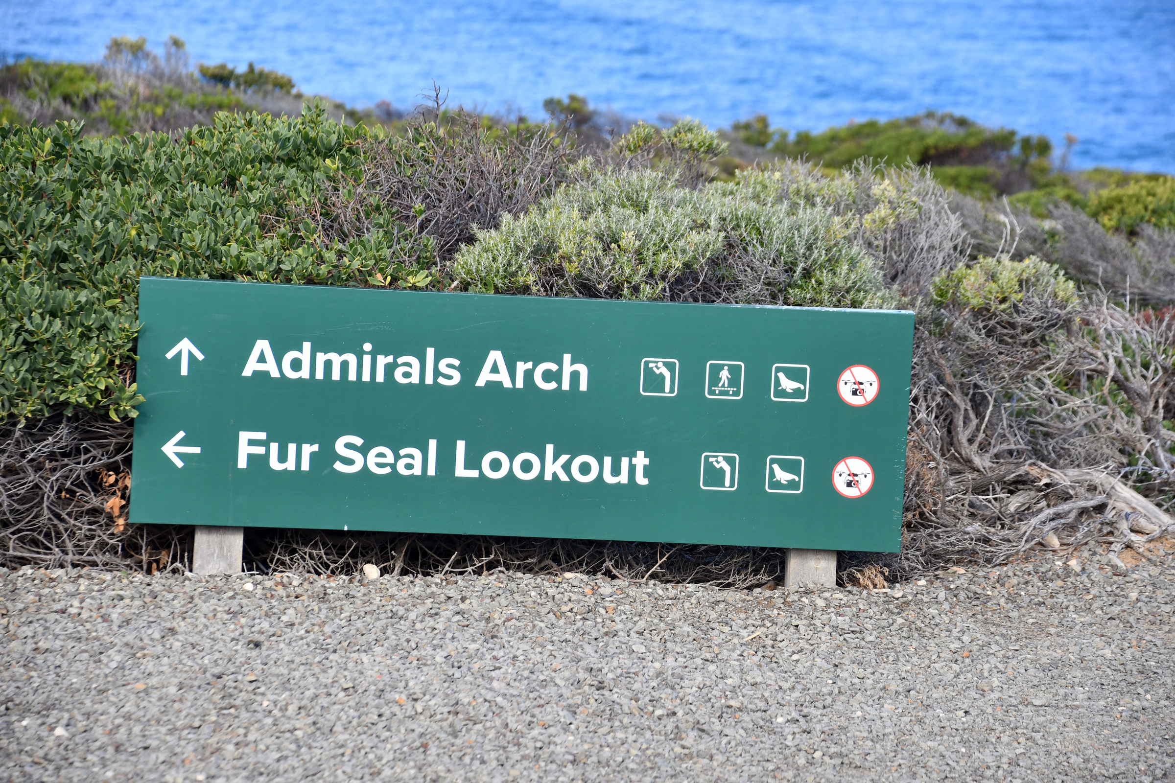
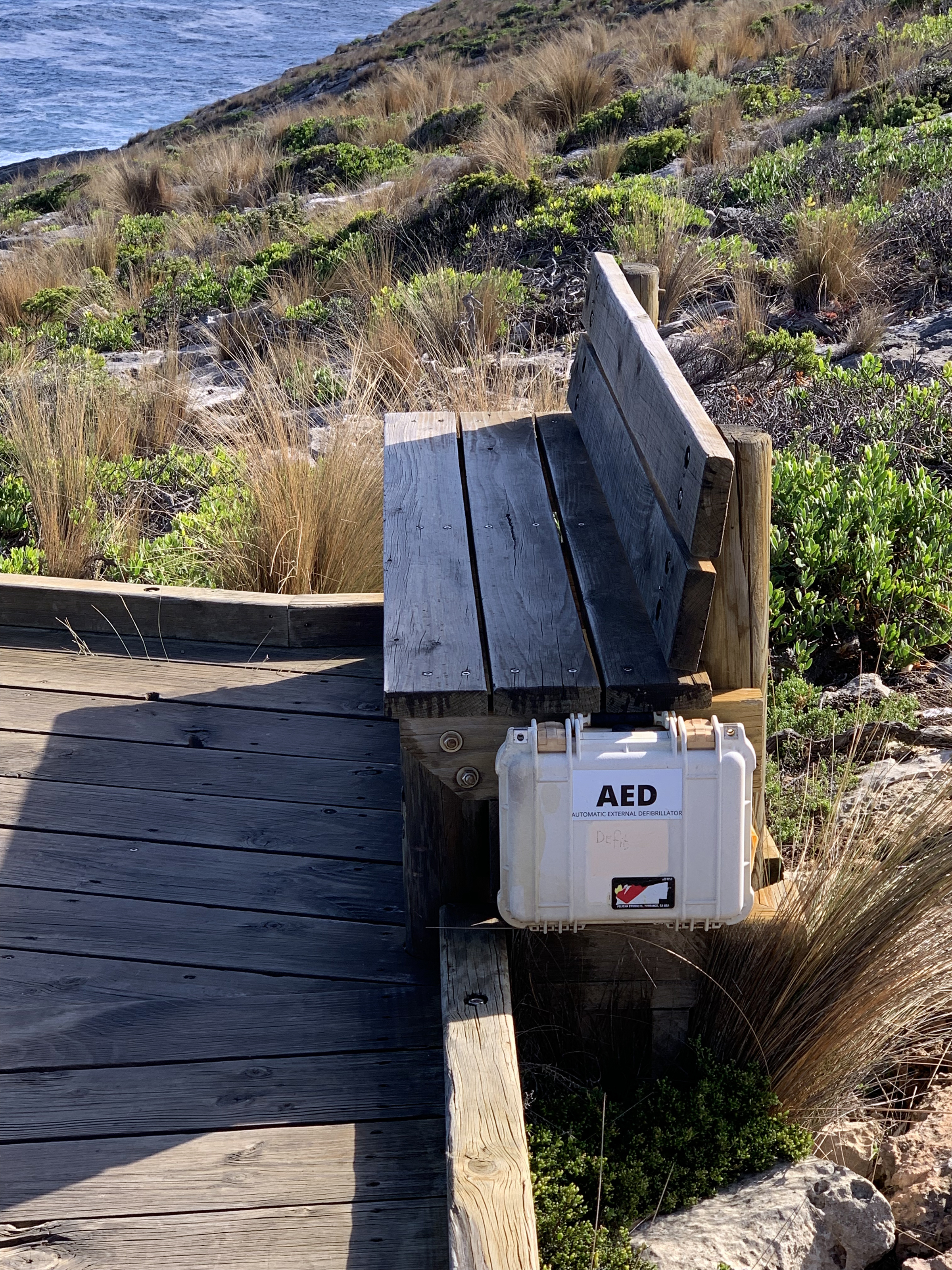
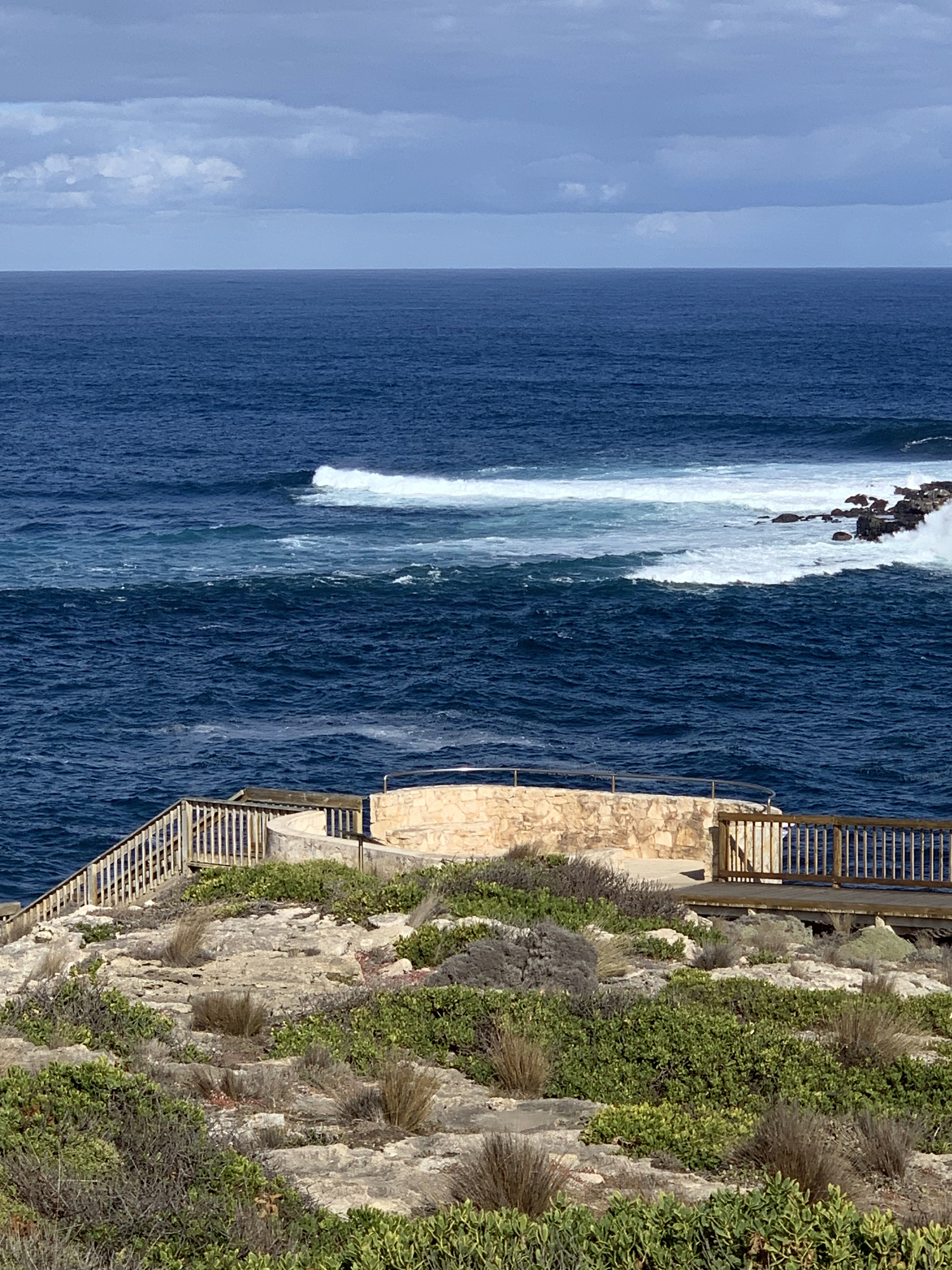
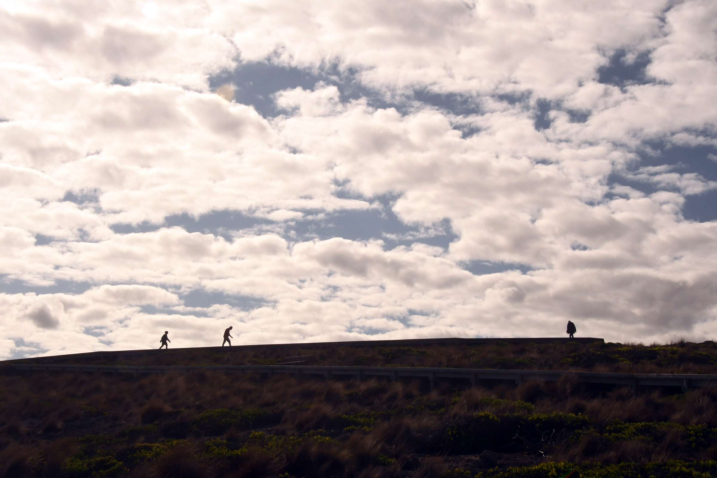
of the road provdes easy walking access to a boardwalk that drops down the hill, past the fur seal lookout and on to the lower rock platform. Here an elaborate set of stairs and platforms allows
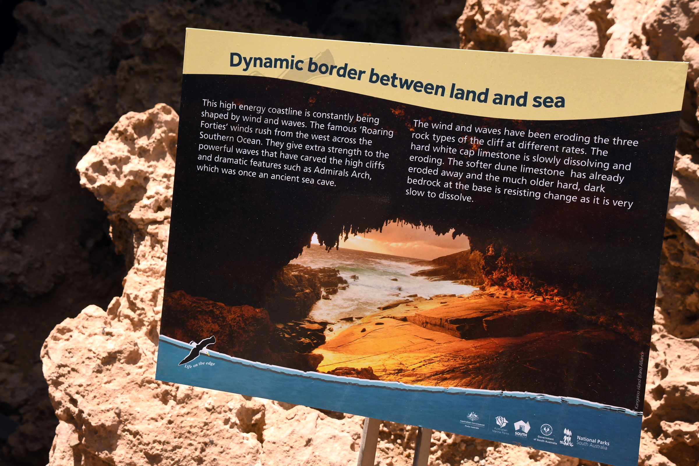
access and a good view of the Admiral's Arch, a natural bridge cut into the limestone.
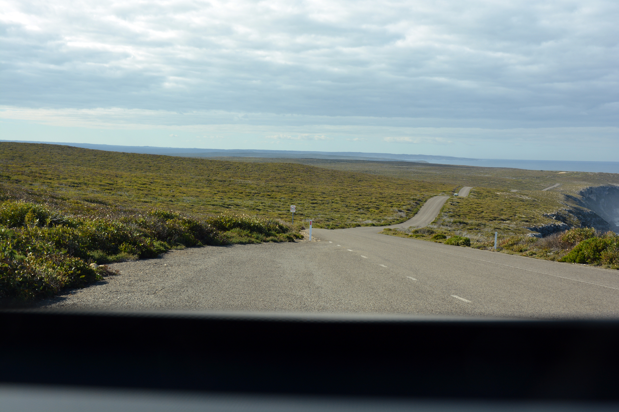
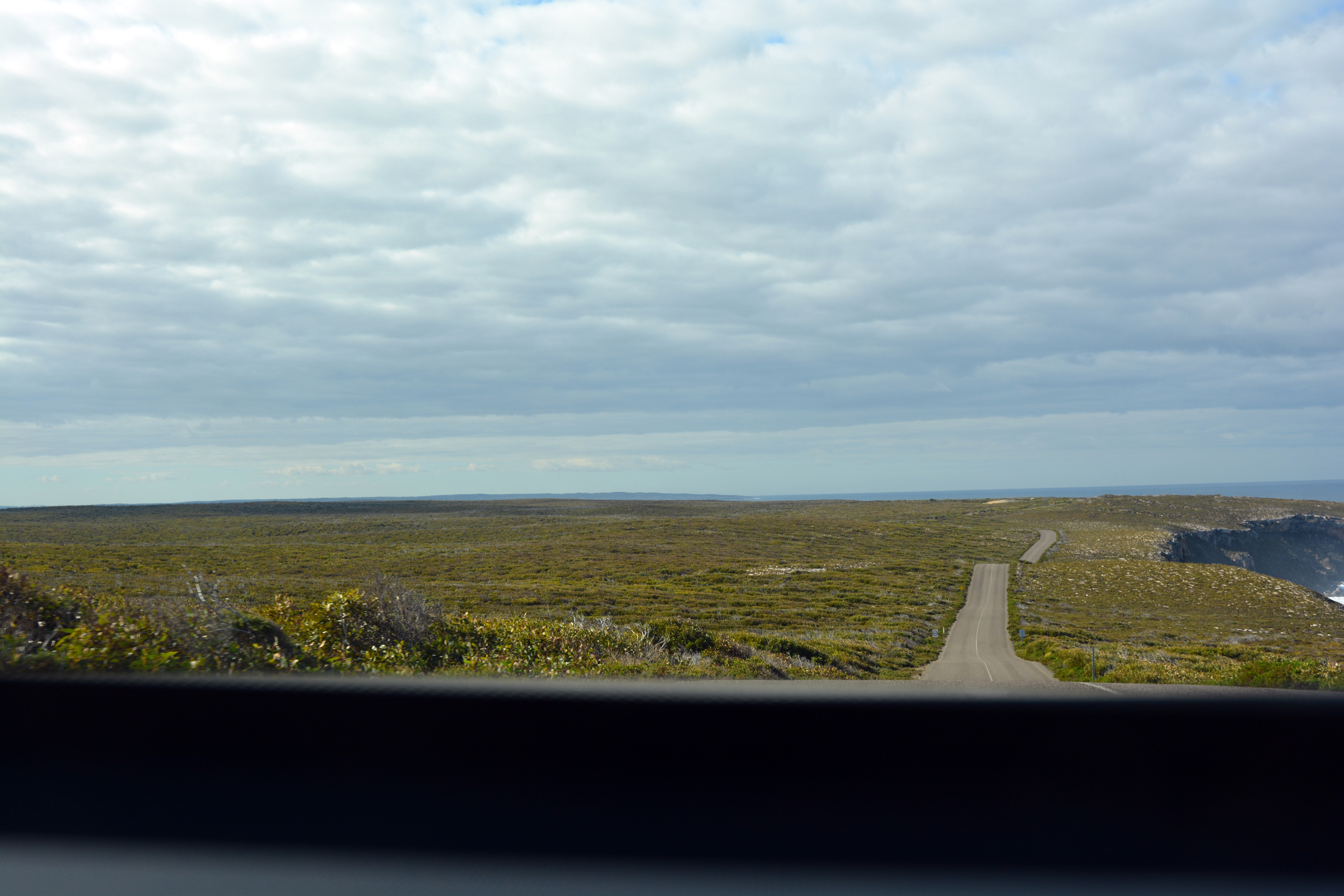
| Returning back up the road.. |
|
|
| Now turn right towards Admiral's Arch |
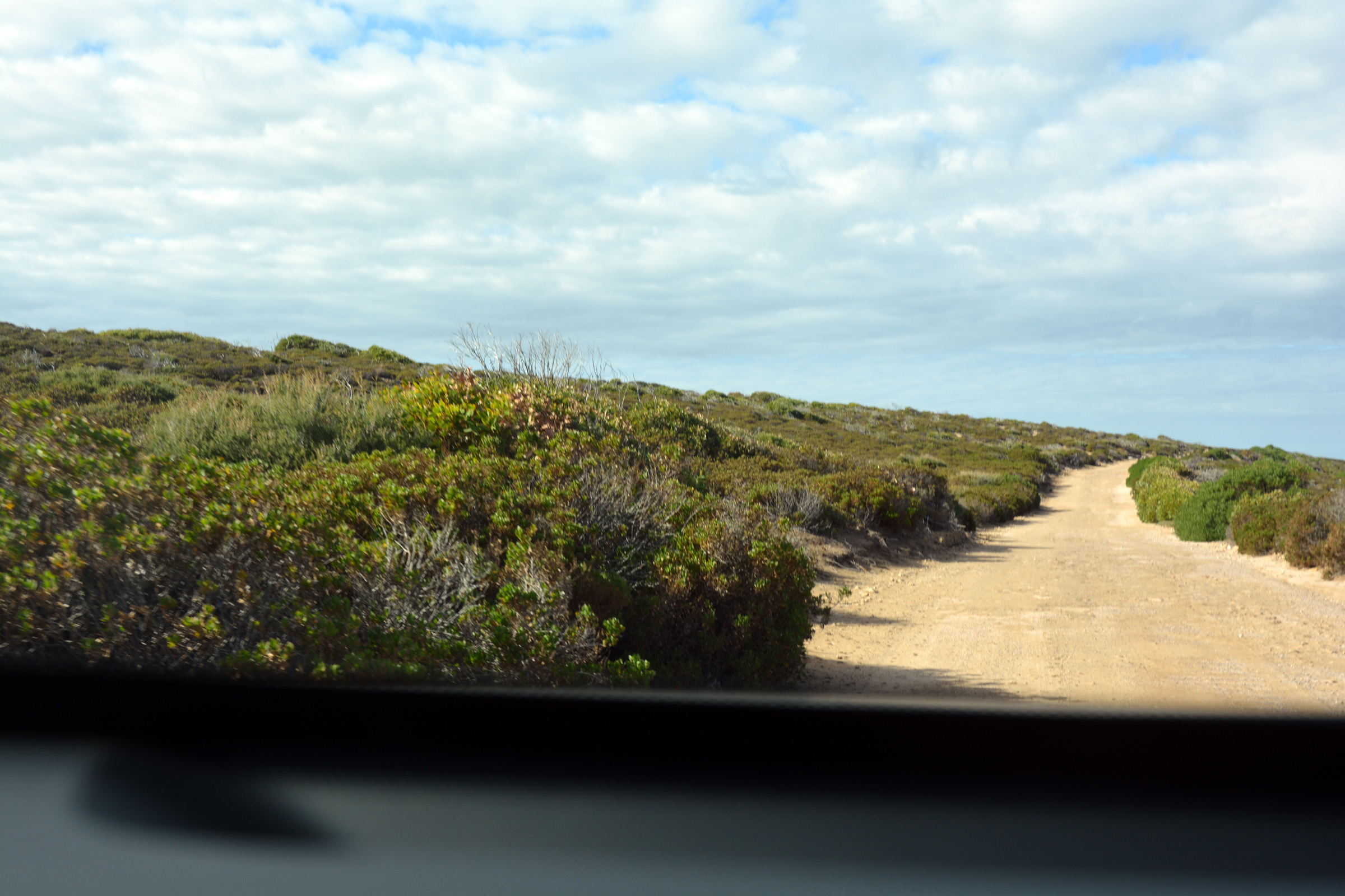
Rough track to Weir's Lookout |
|
| Looking down onto the old jetty and cableway. |
|
|
|
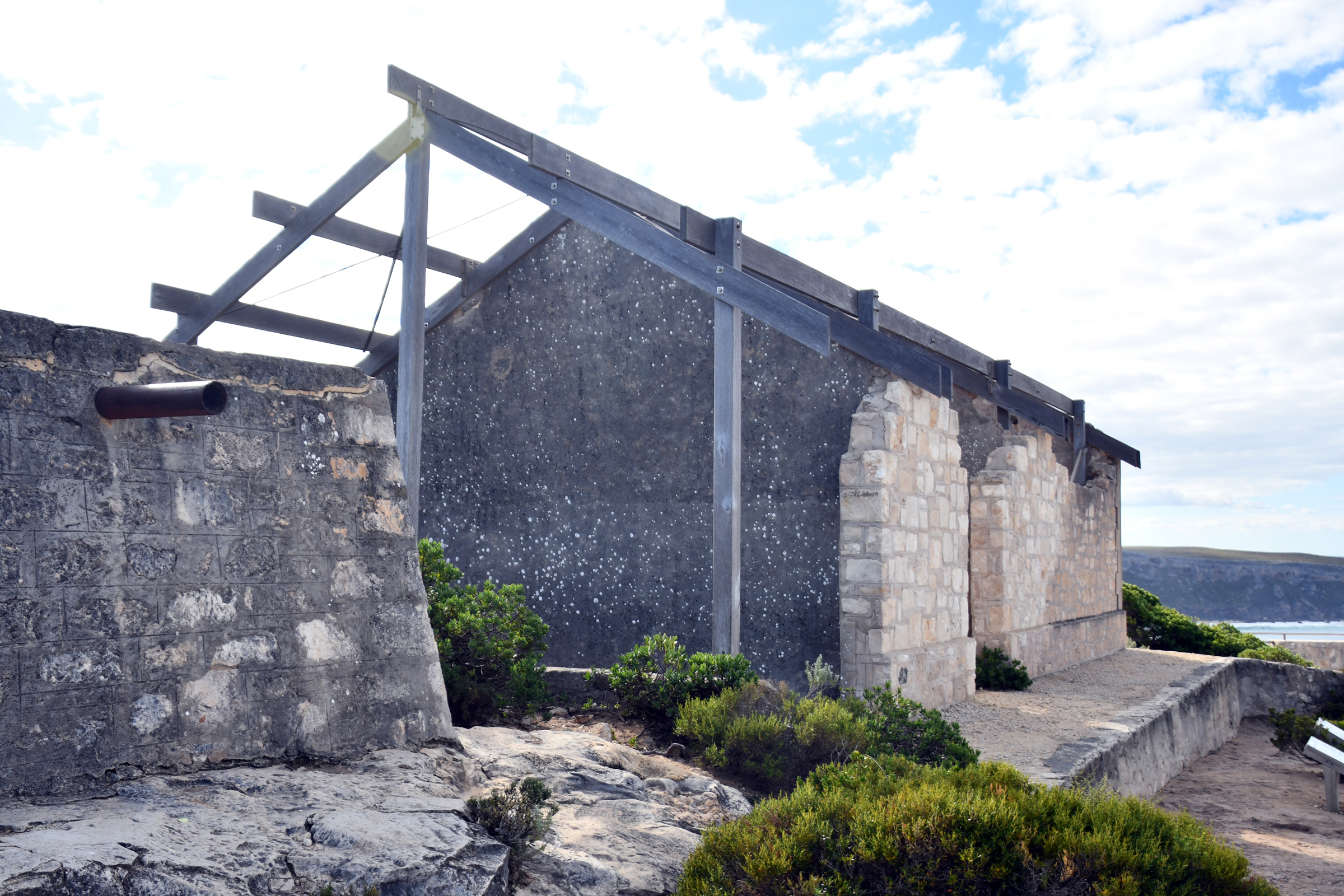
The old storehouse - one room per family. |
The Cape du Couedic Lighthouse. |
|
|
|
|
|
|
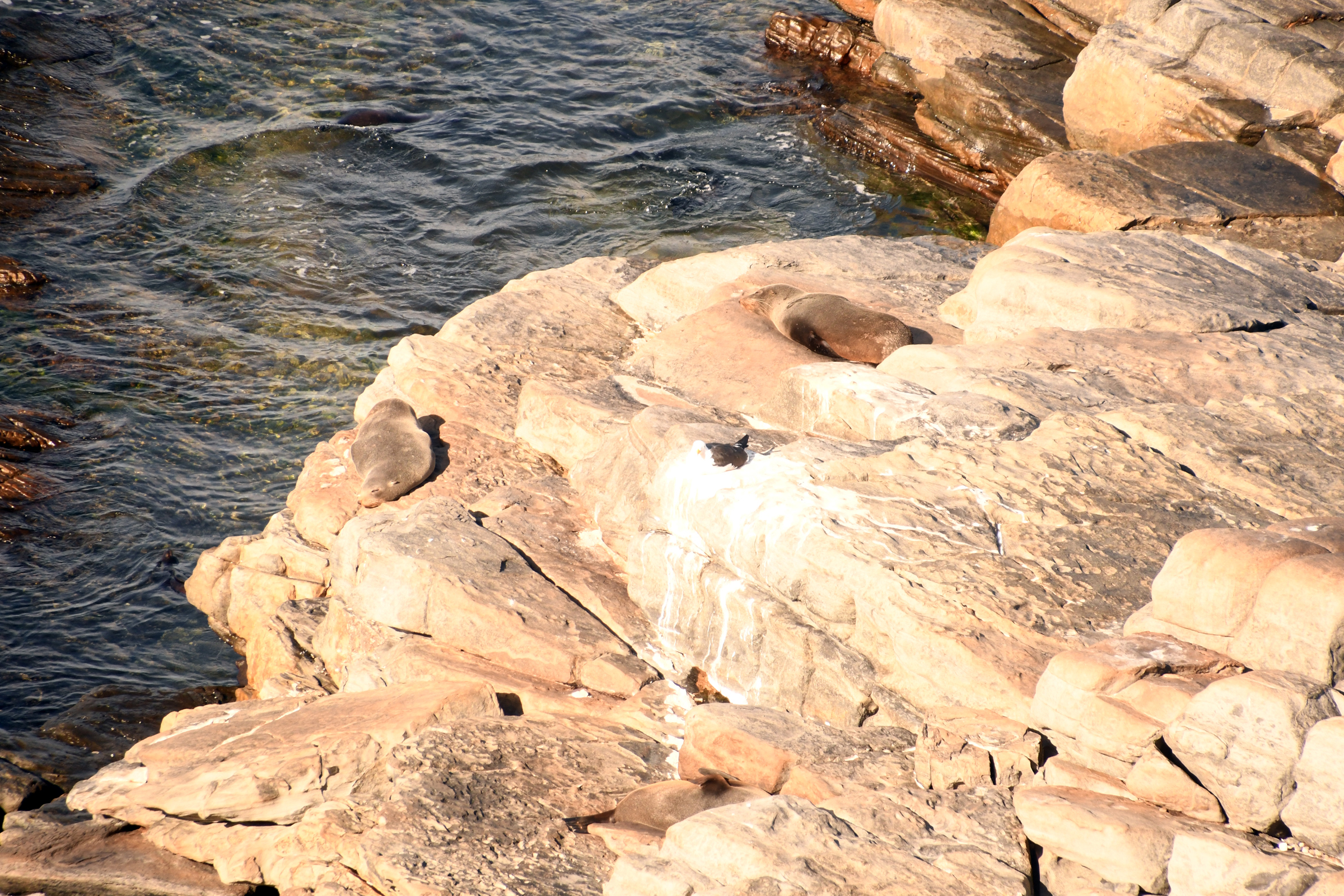
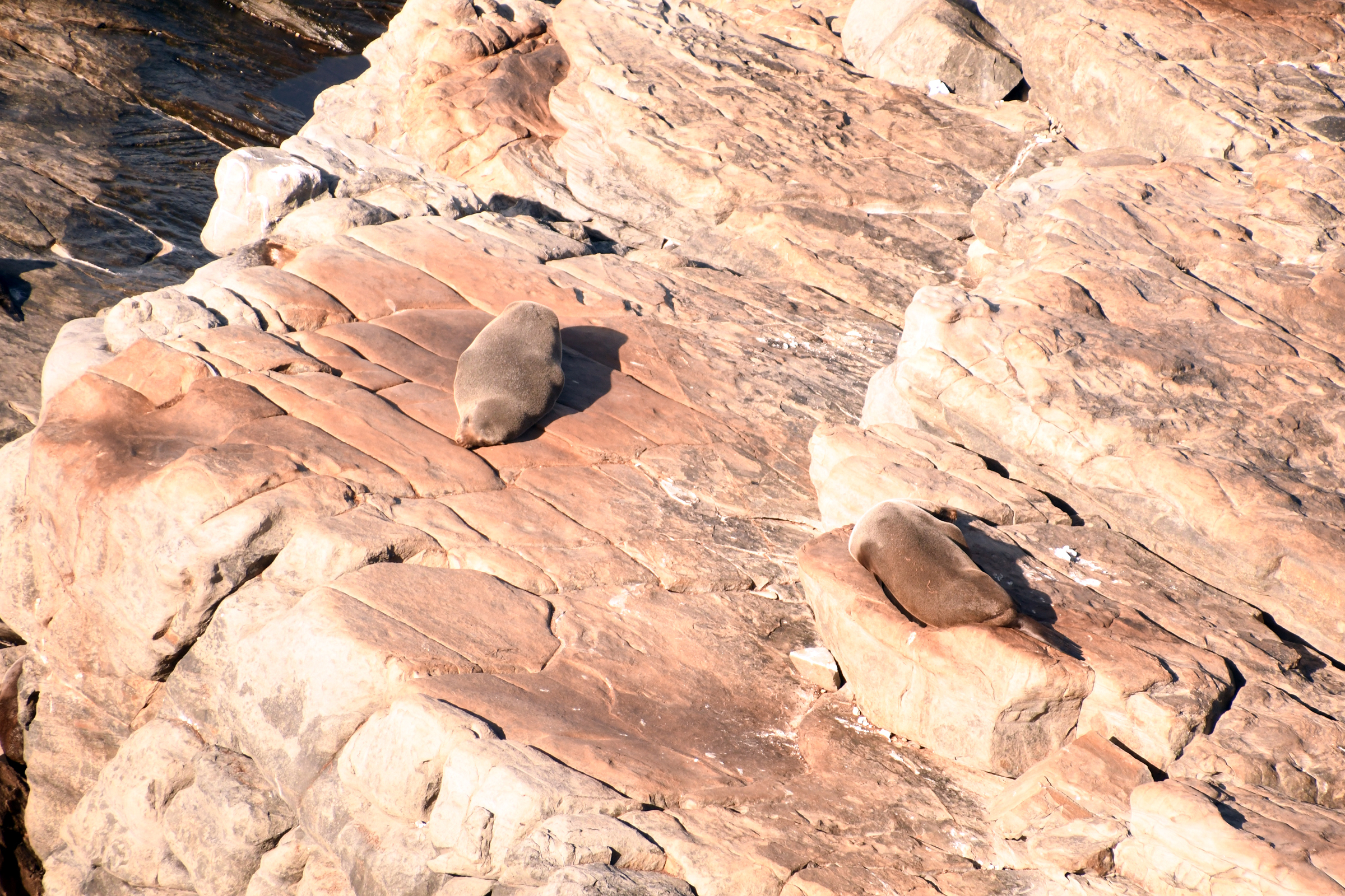
| An easy walk the sign said - so why the heart machine? |
|
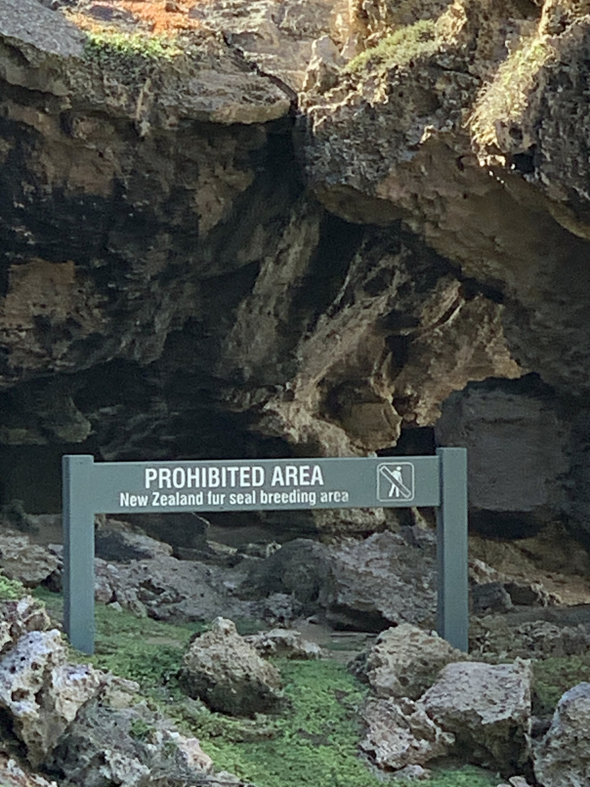
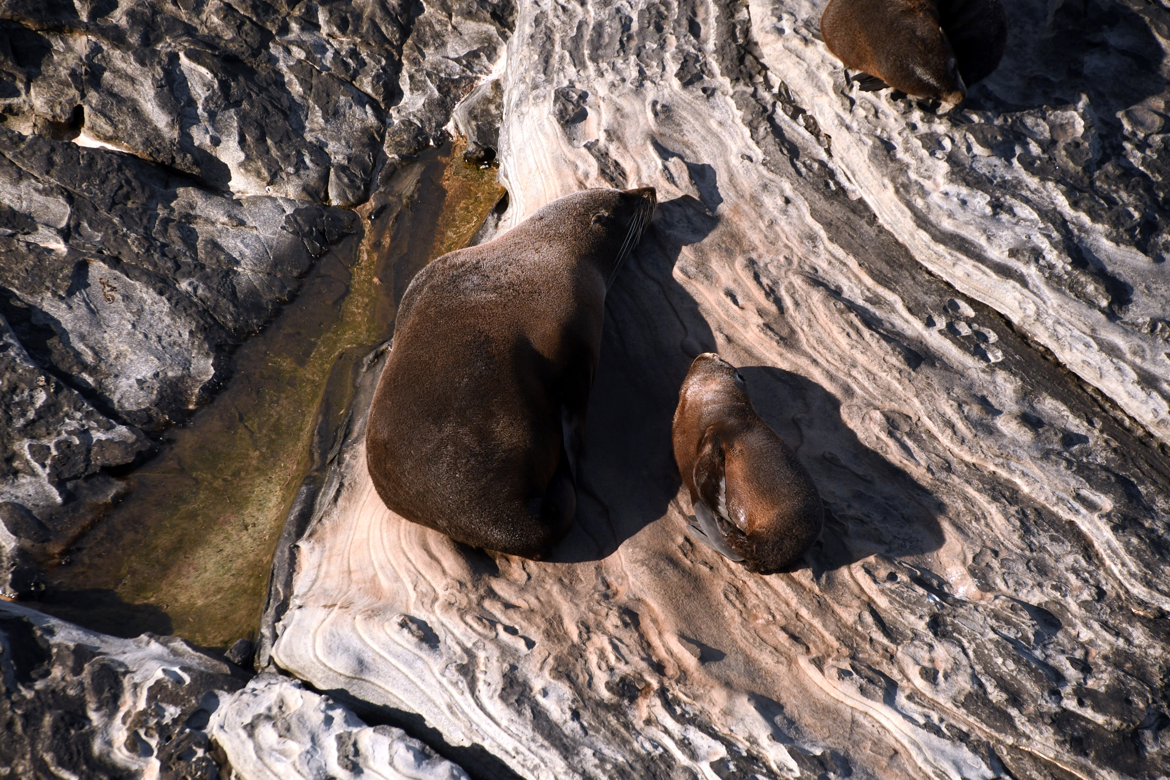
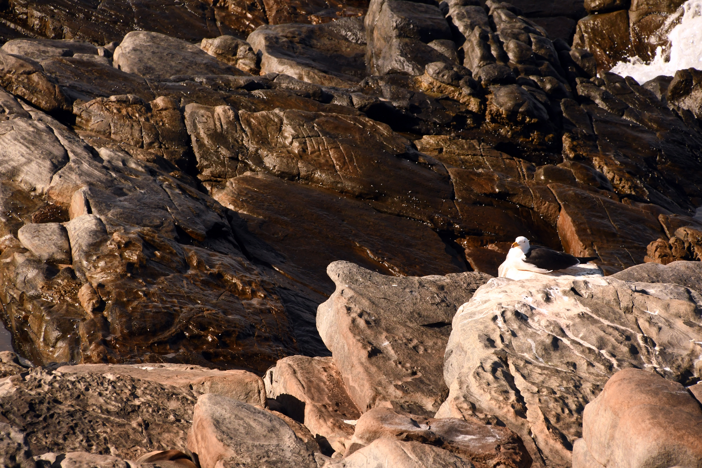
One of the few things Australia has not claimed as their own.... |
|
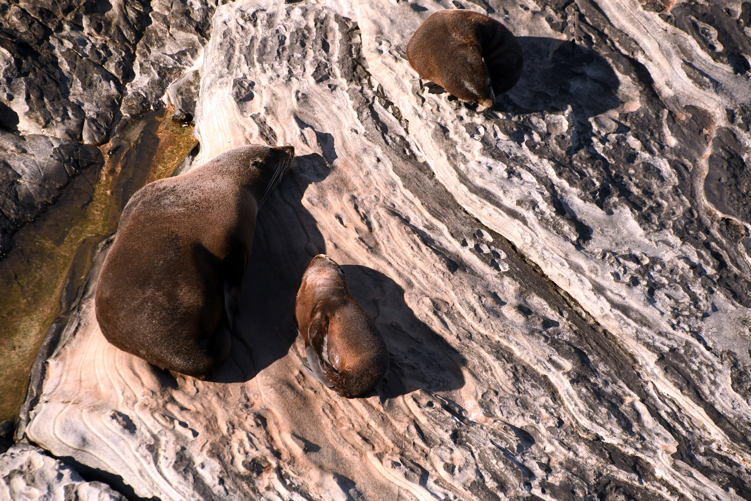
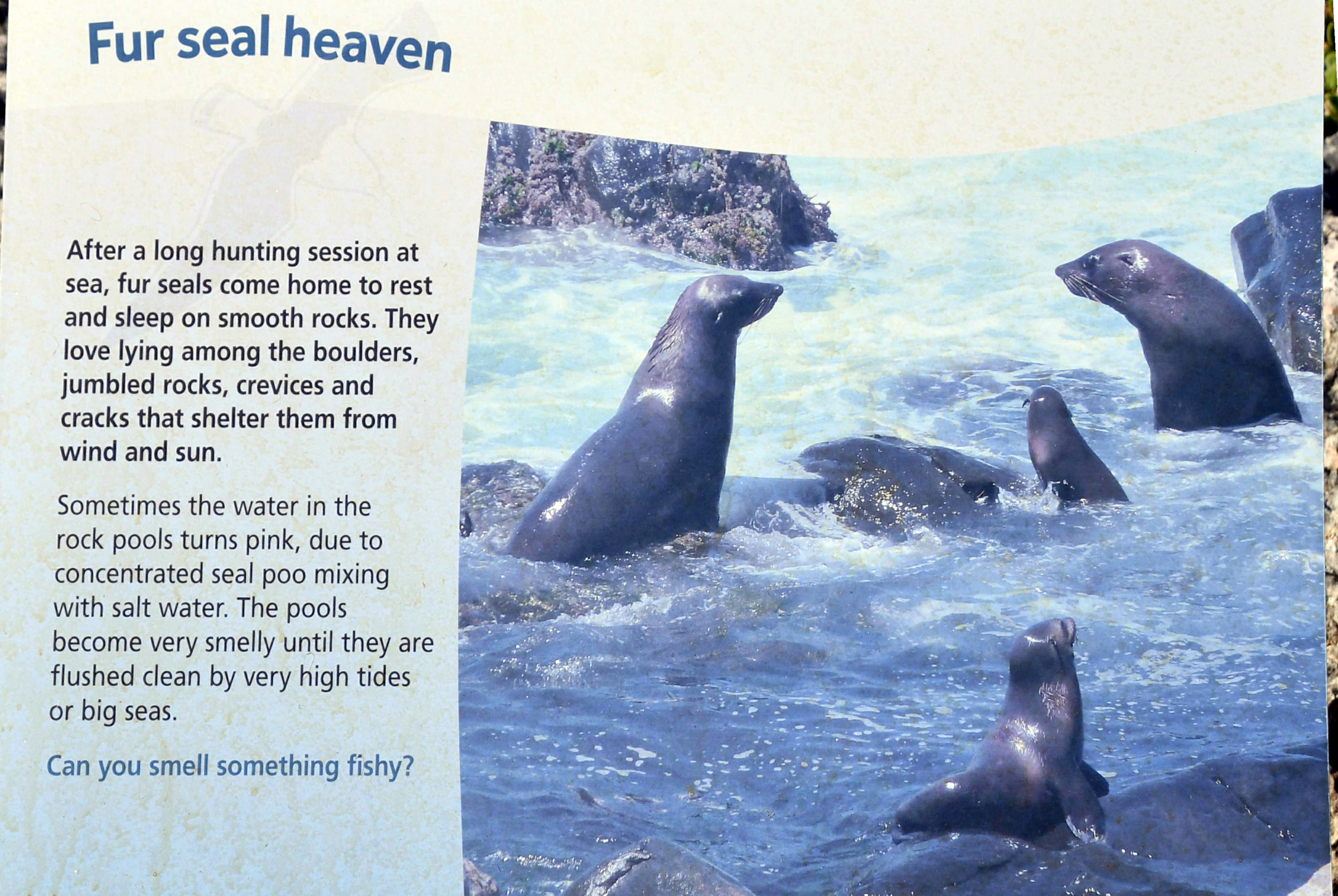
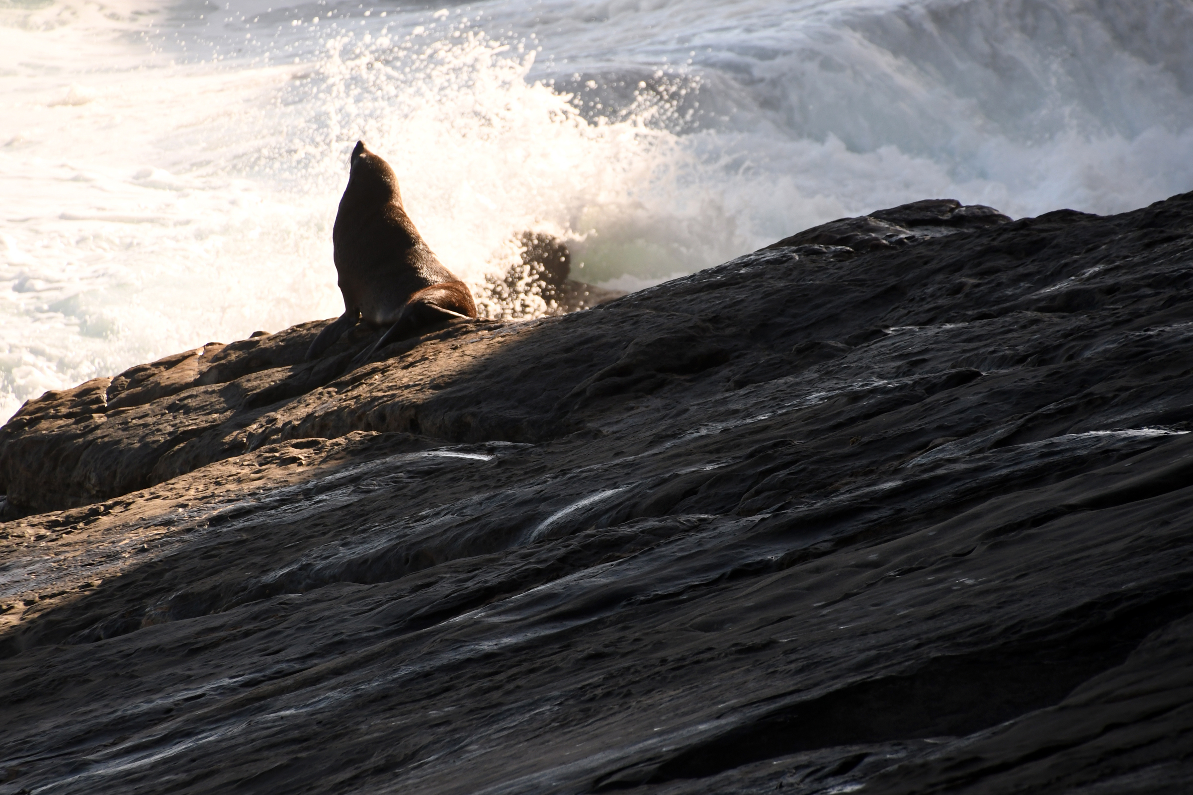
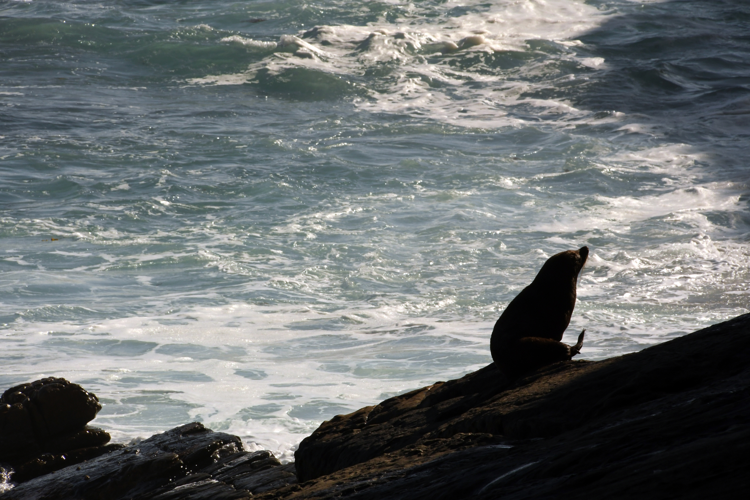
New Zealand fur seals basking in the sun. |
|
|
|
|
|
|
|
|
|
|
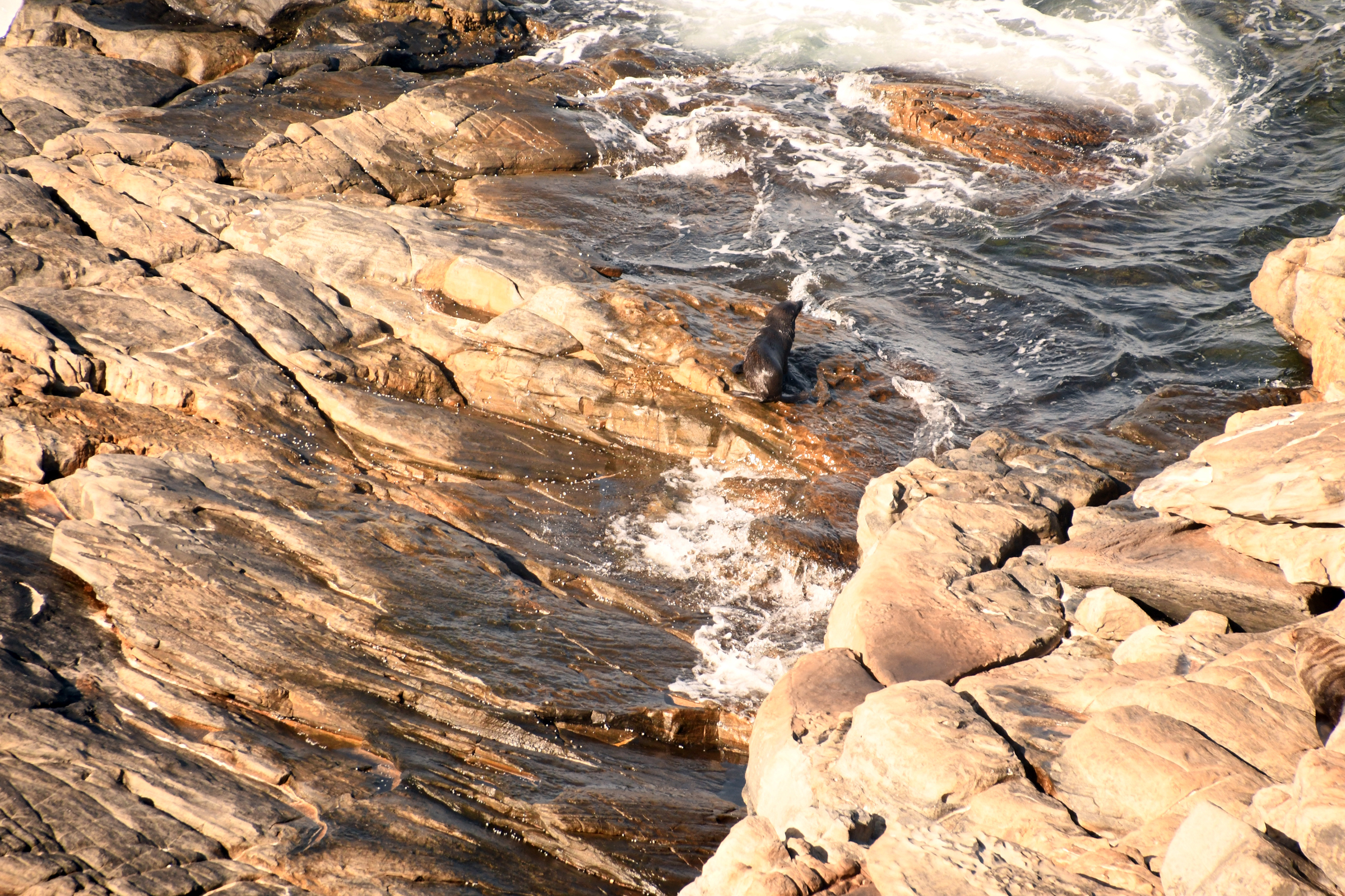
| Admiral's Arch... |
|
complete with resident fur seal. |
|
|
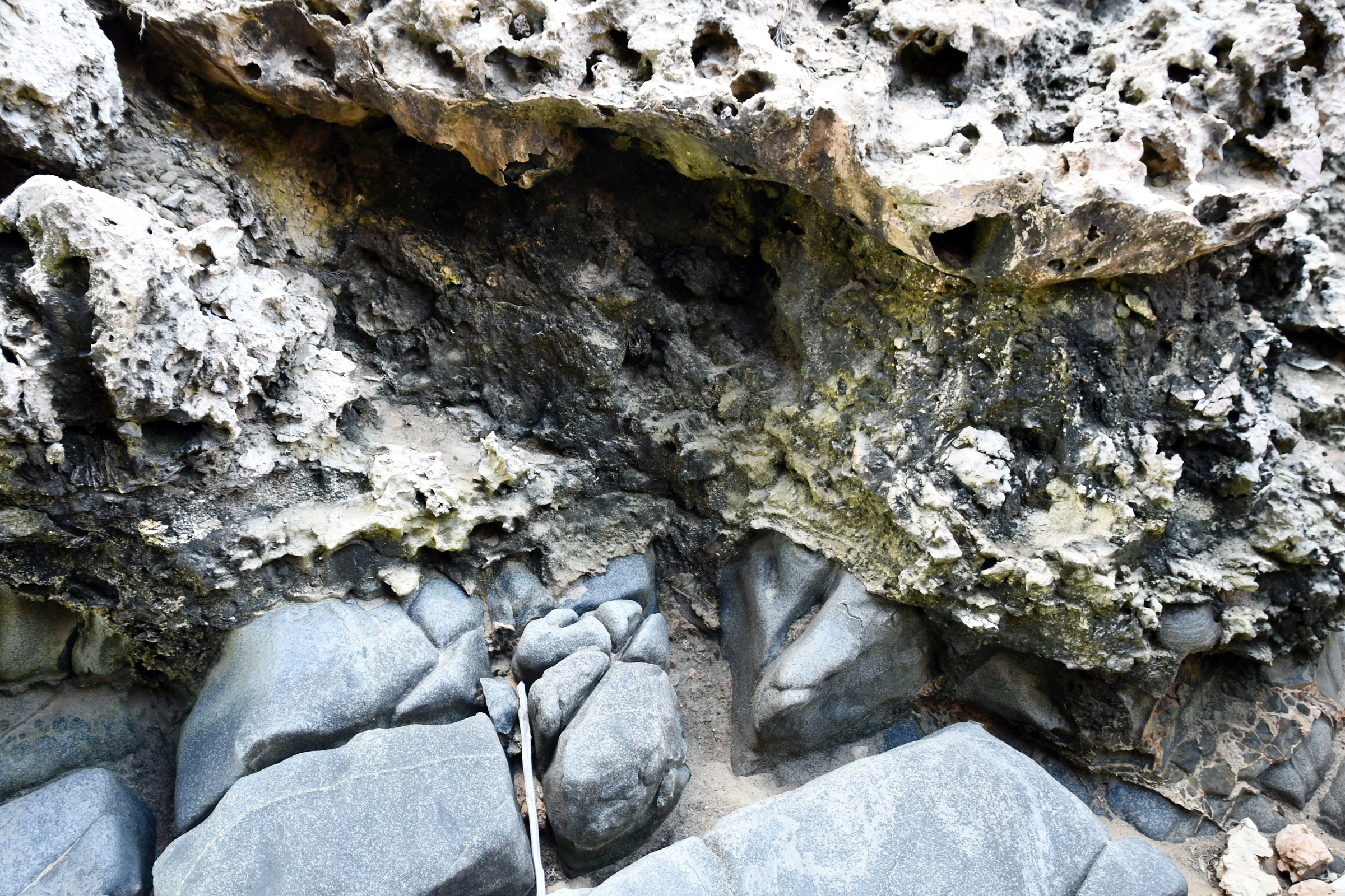
Limetone overlying siltstone. |
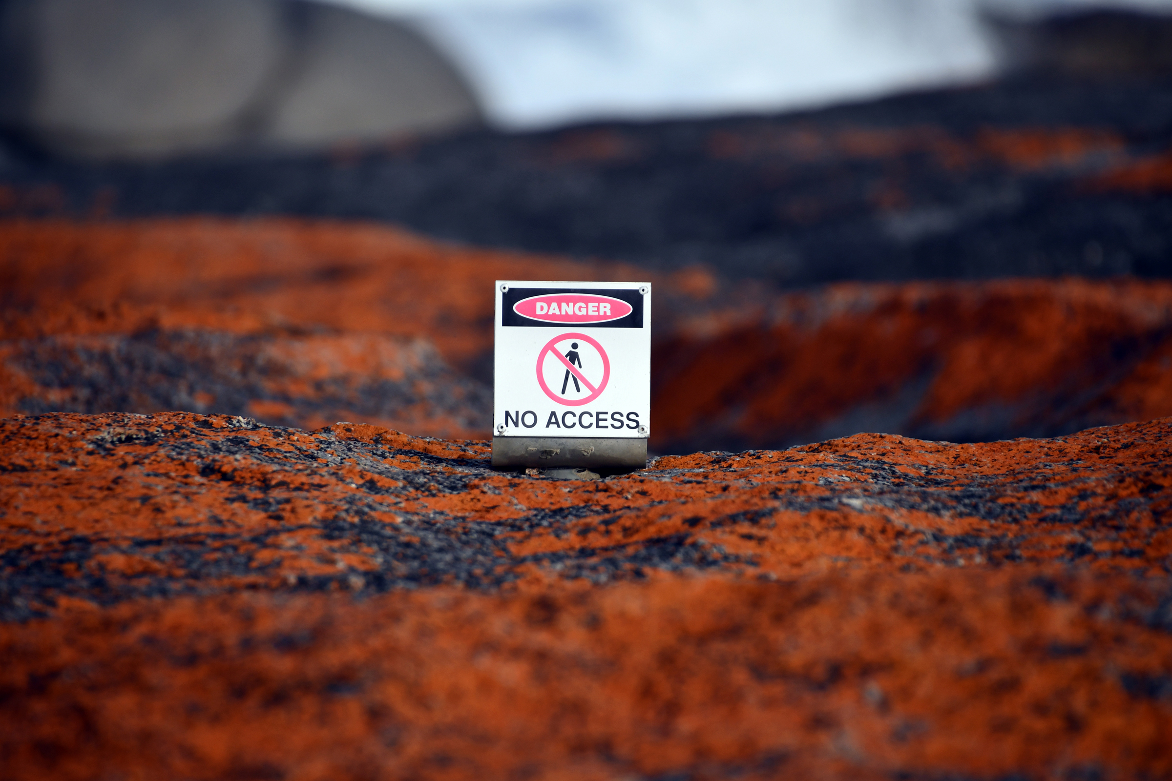
| No further comment needed. |
|
|
|
|
|
|
|
|
|
|
|
|
|
|
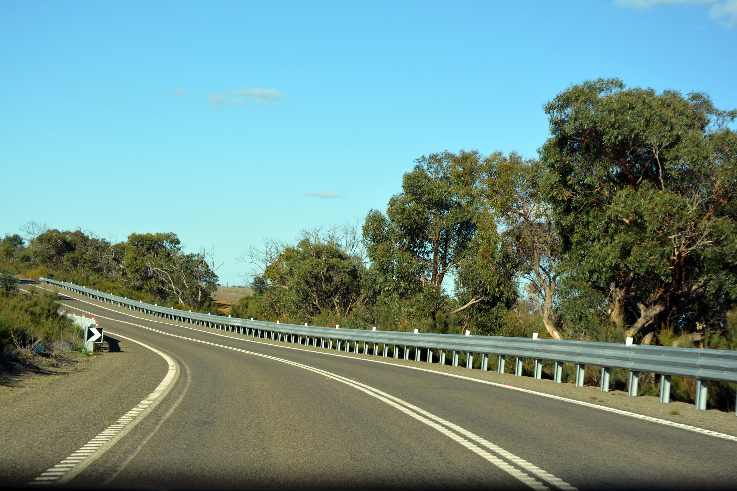
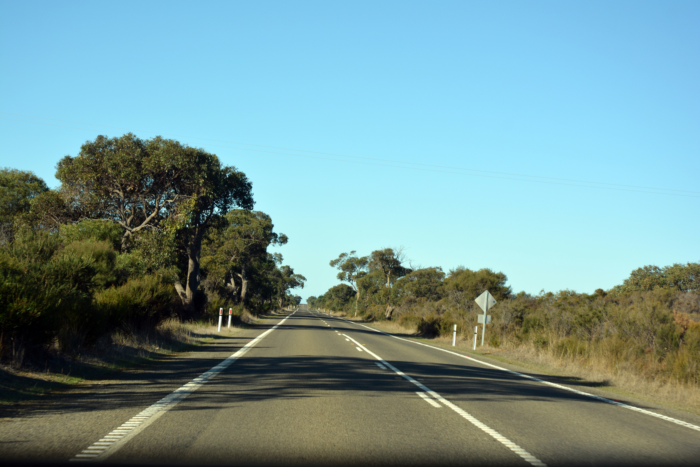
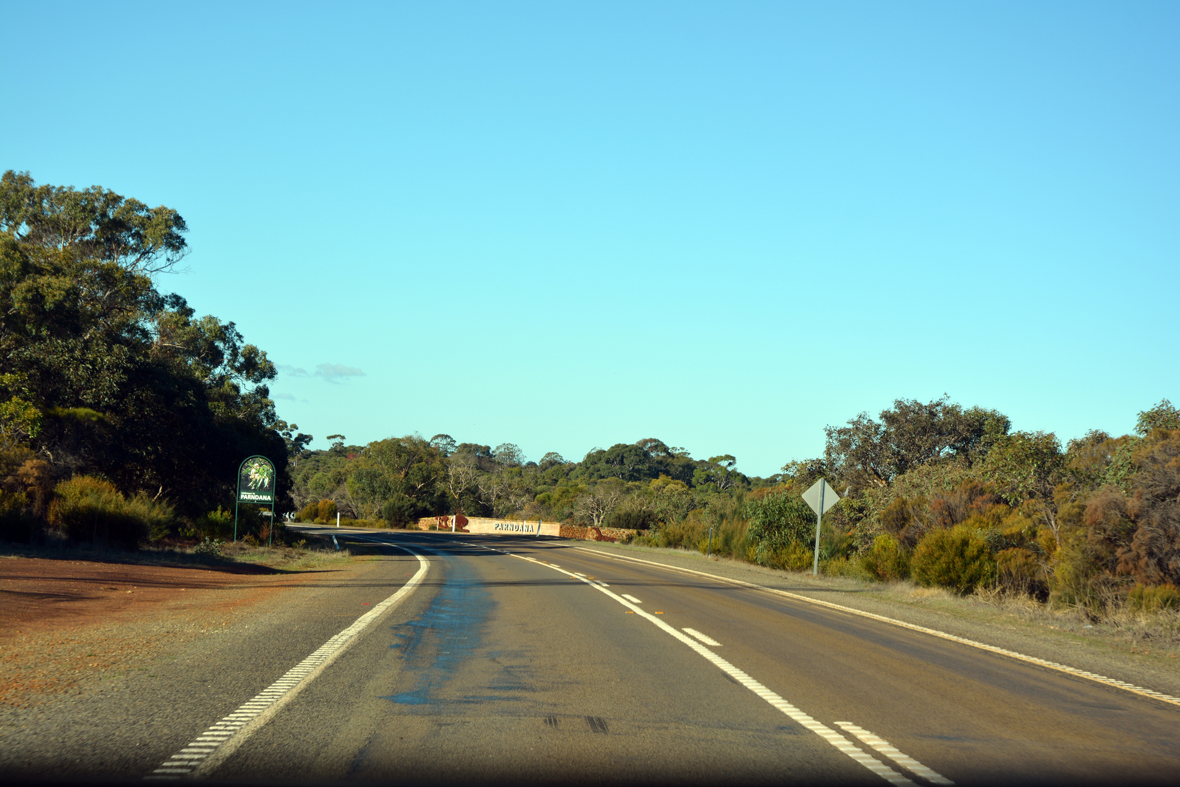
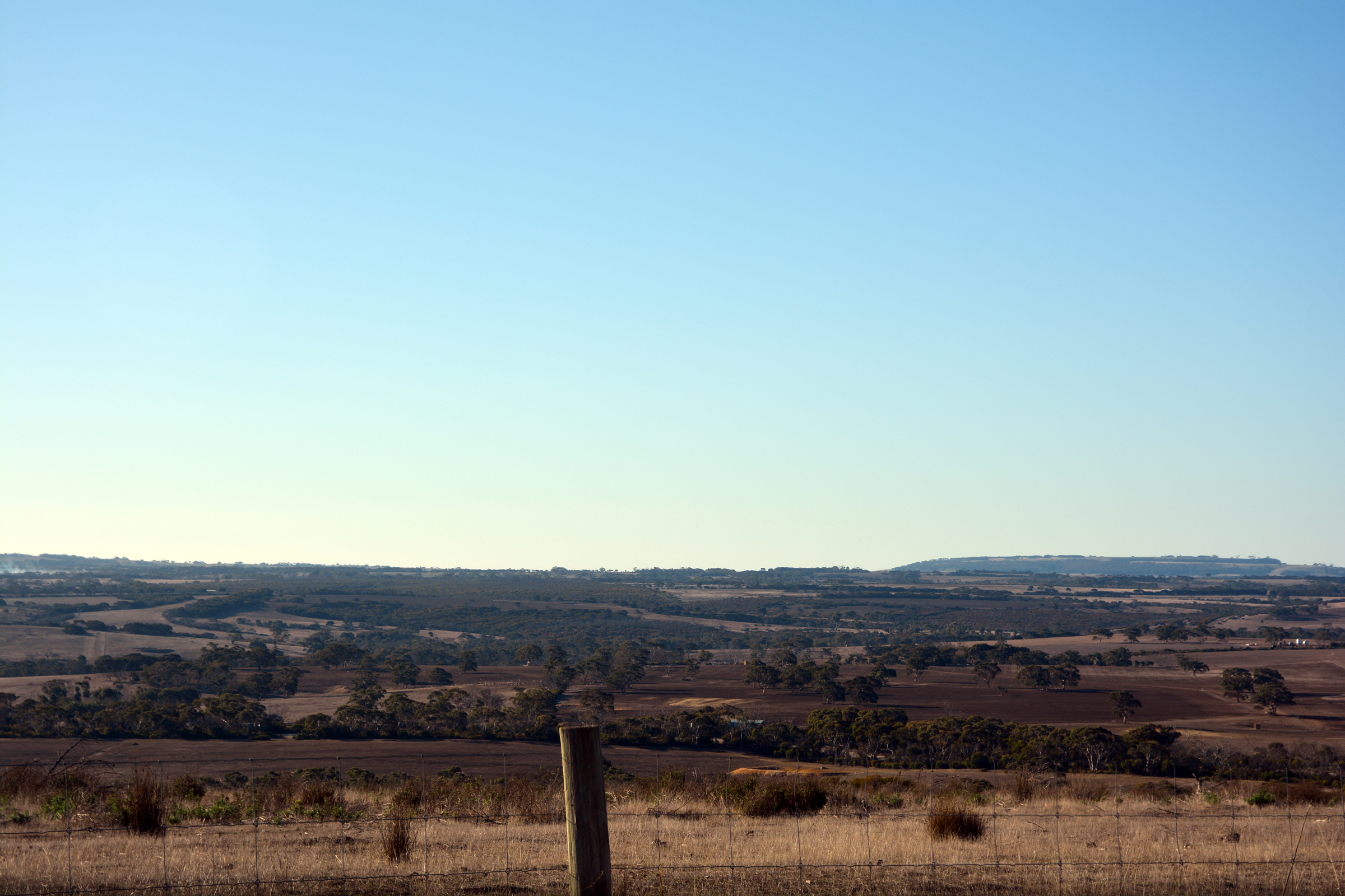
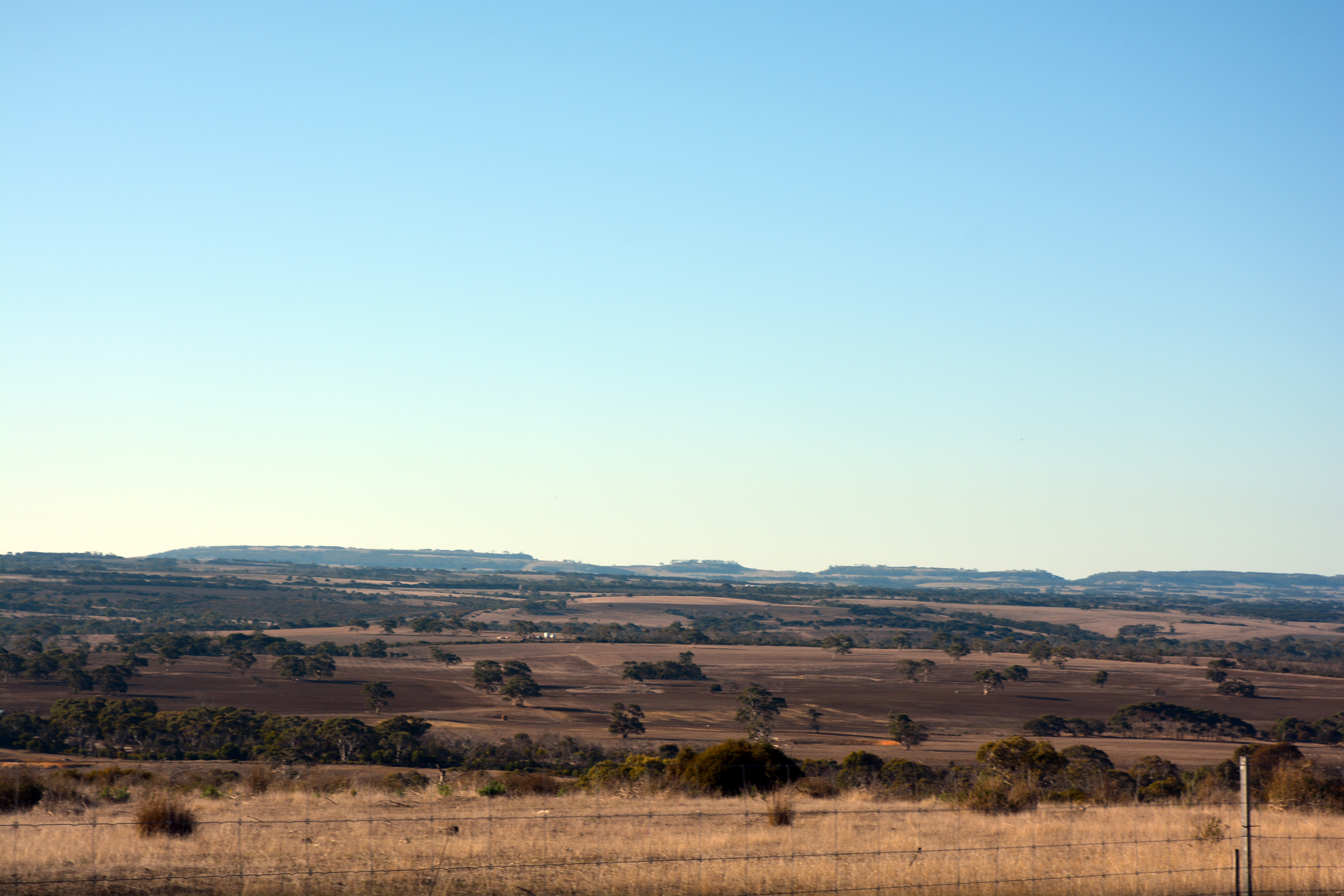
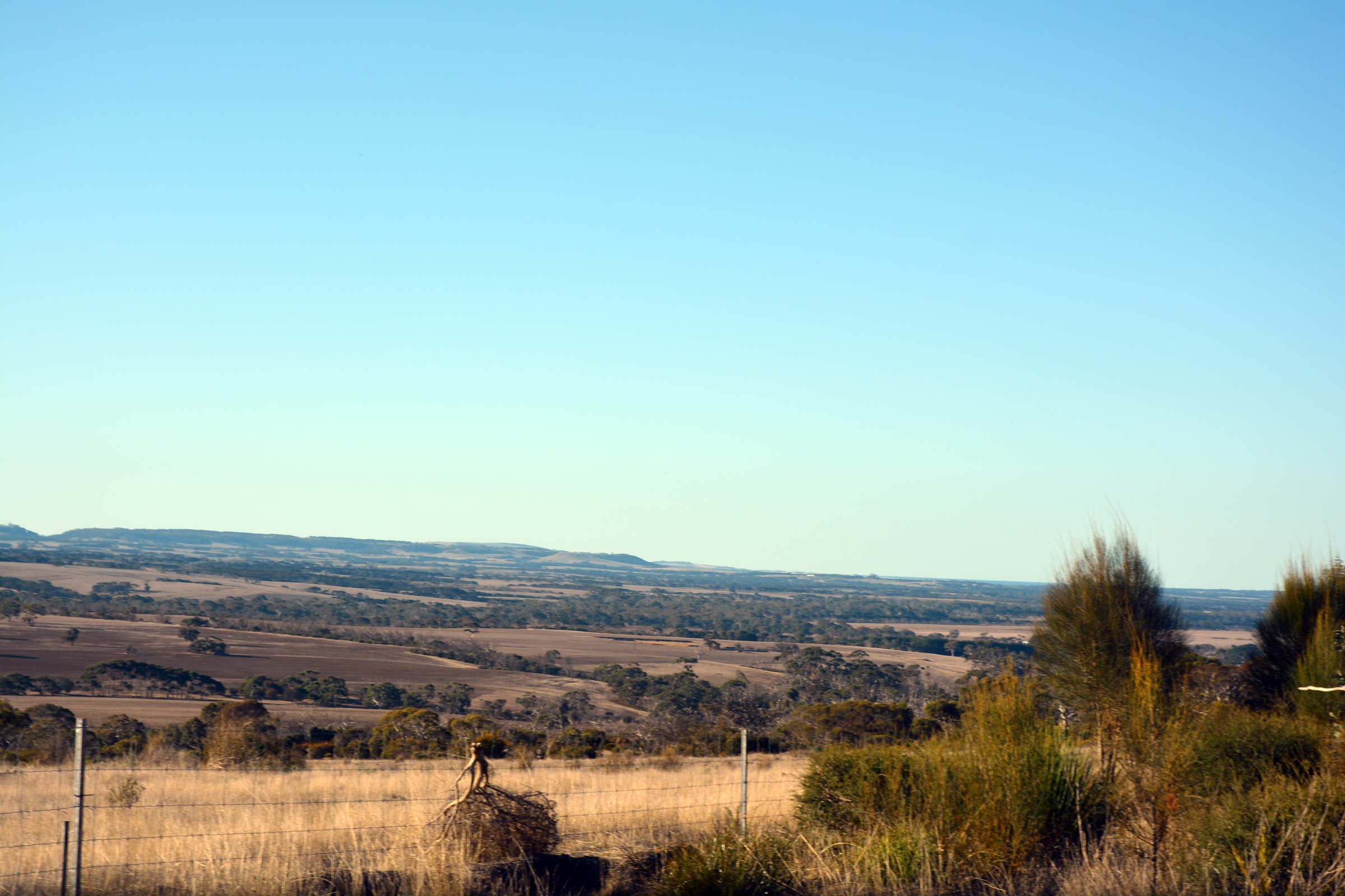
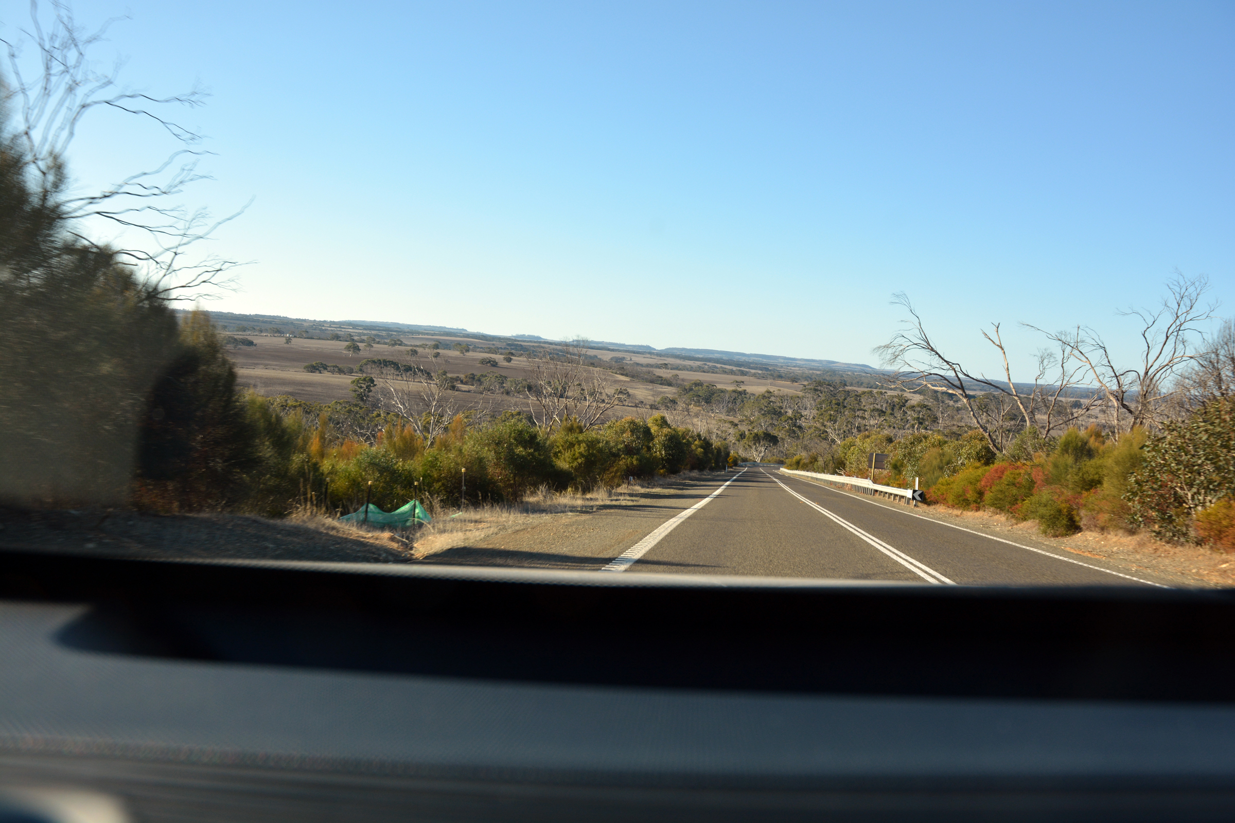
The Playford Highway back to Kingscote
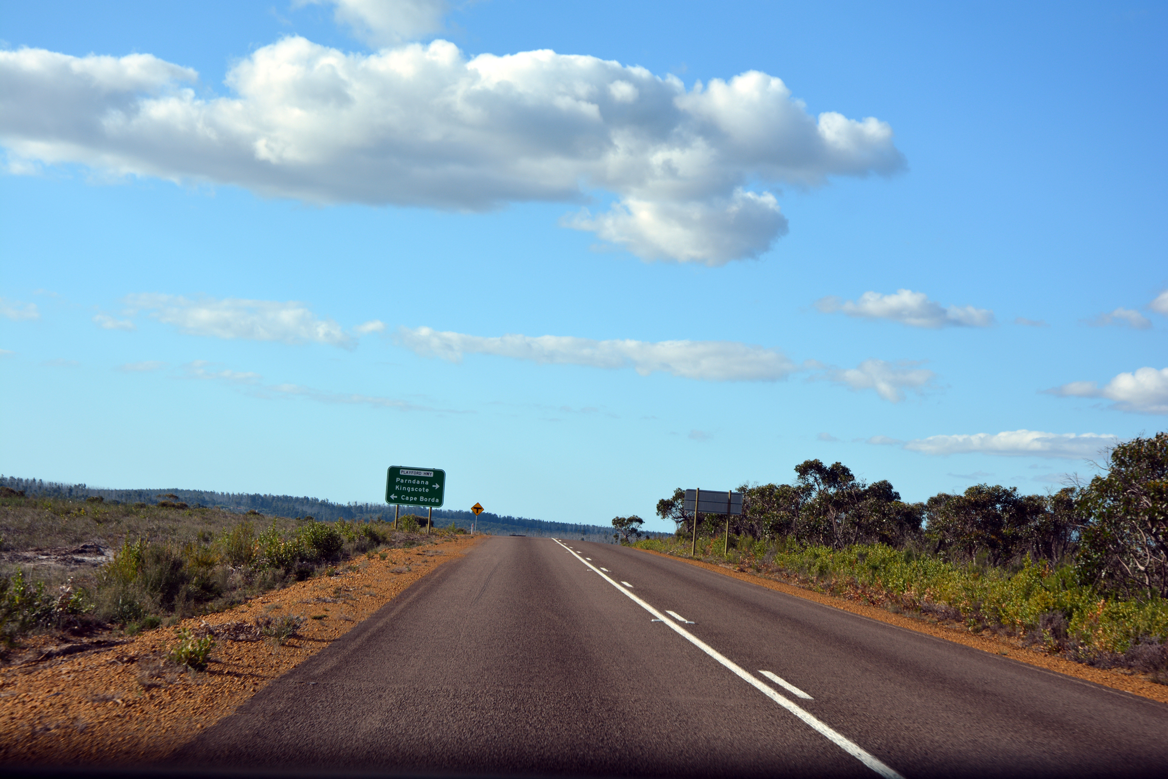
From the Admiral's Arch we heded north to join the Playford Highway west to take us back to Kingscote. Along the way we passed the locality of Parndana and a lookout on the highest
point of the island.
|
|
|
|
|
|
|
|
|
|
|
|
|
|
|
|
|
|
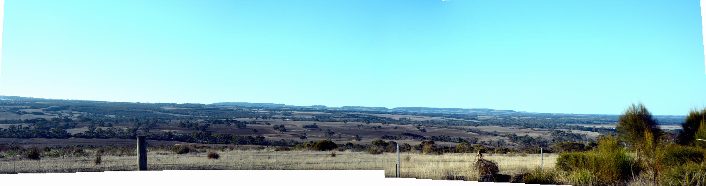
Panorama from Kohinoor Lookout on the Playford Highway. |
 Back to previous day-------------
 Forward to next day
Return to Trip Index
Last updated:30 July 2025
|