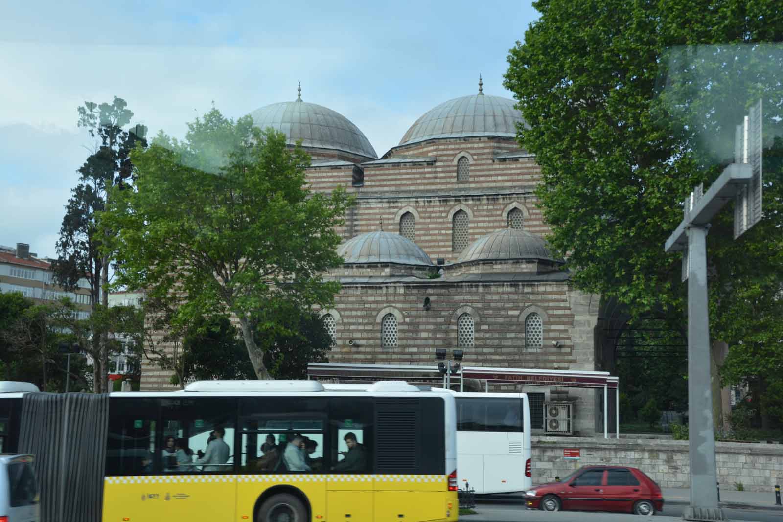
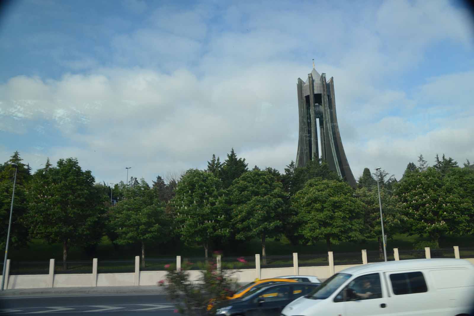
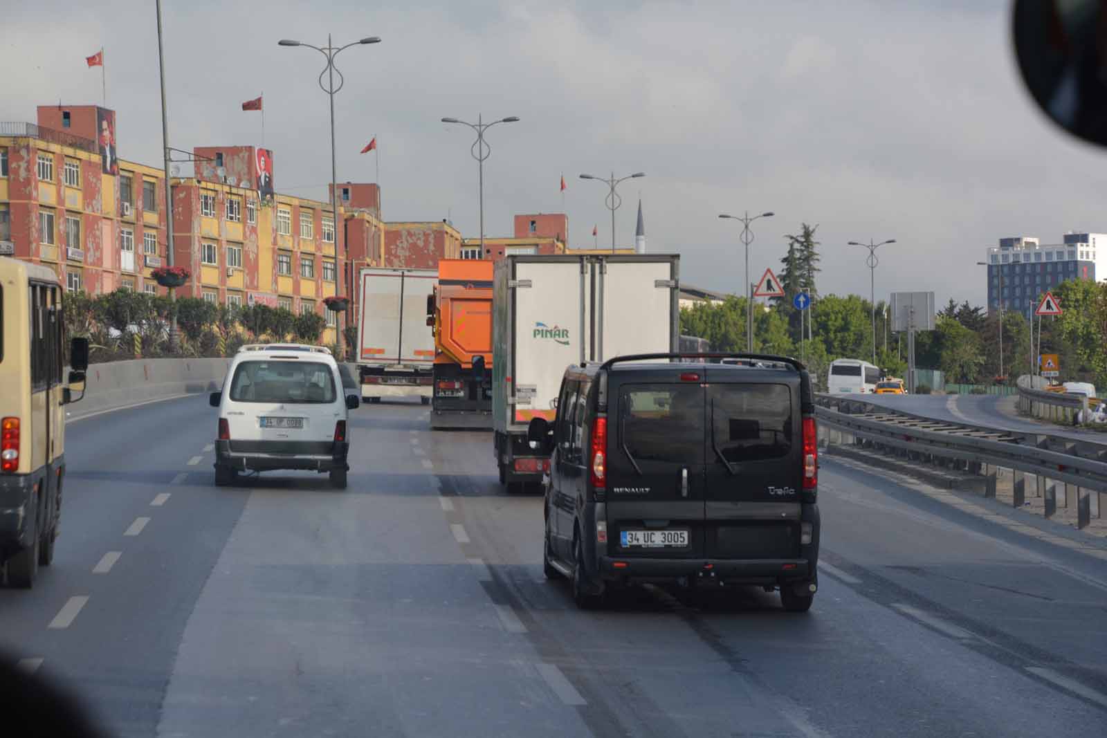
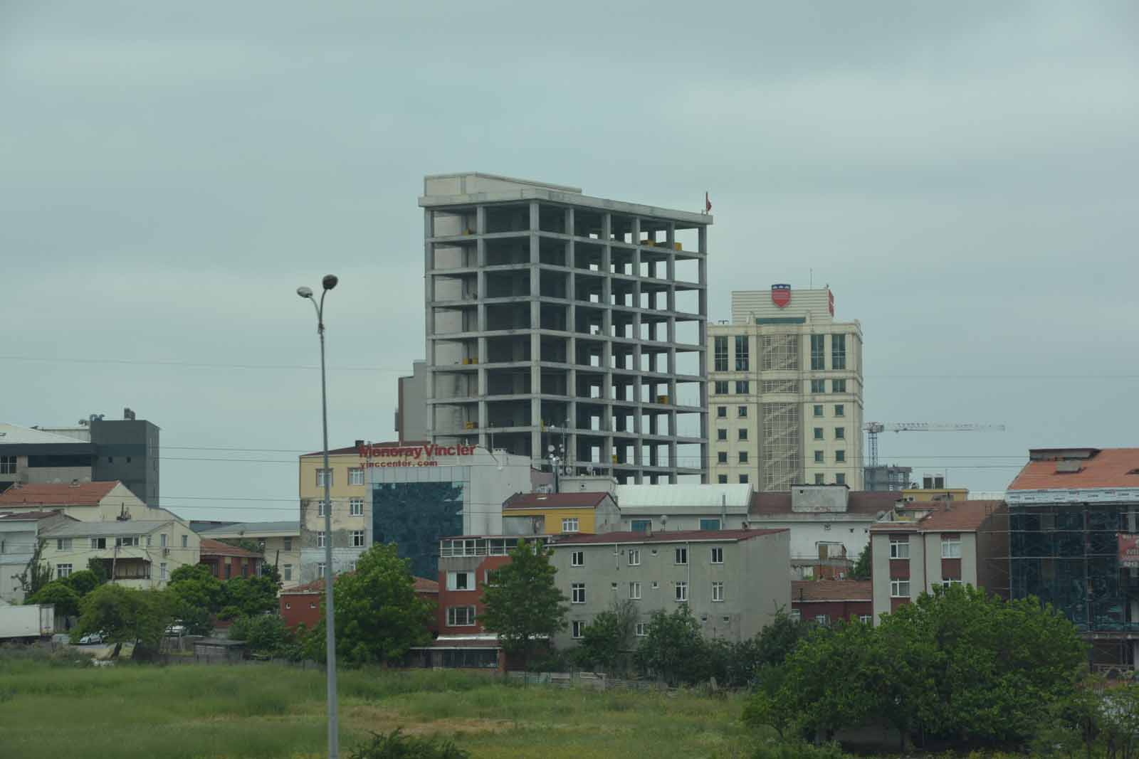
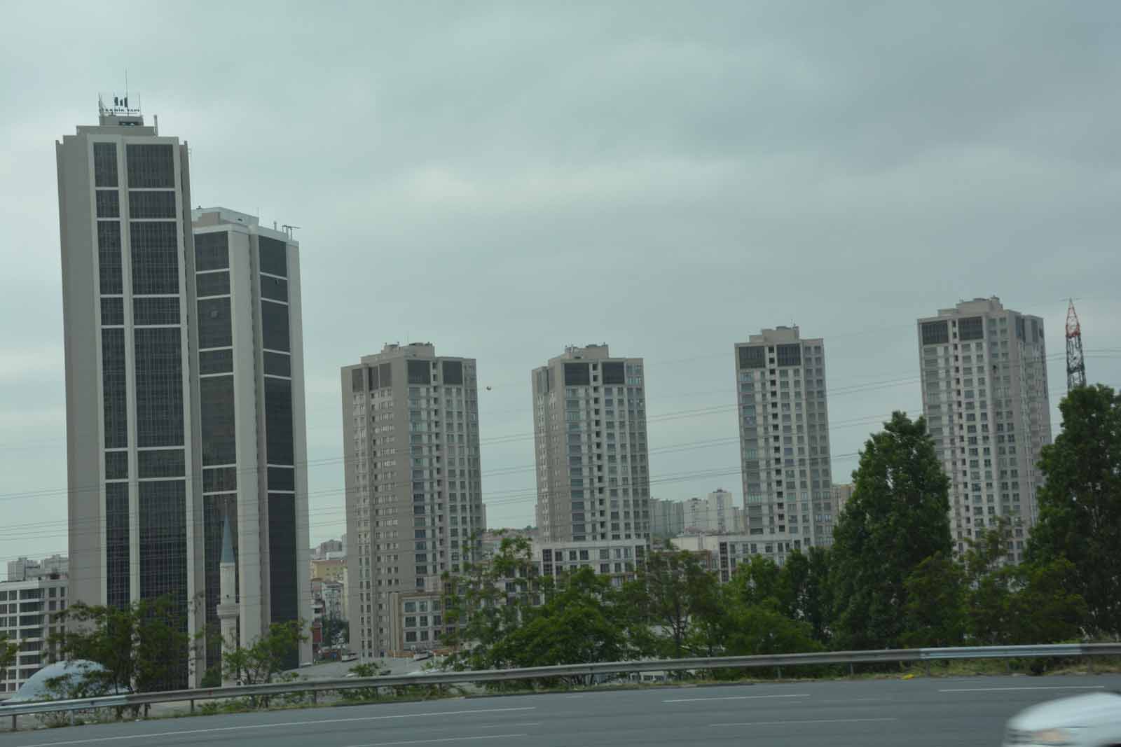
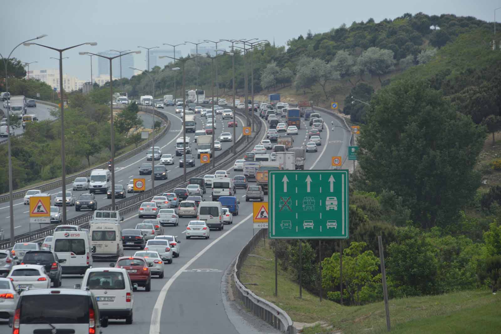
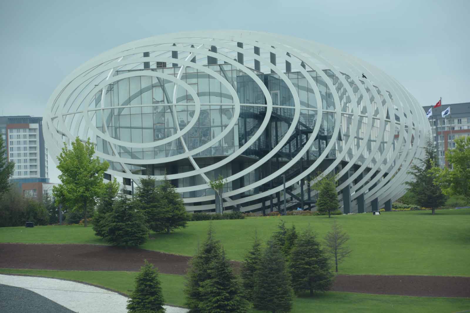
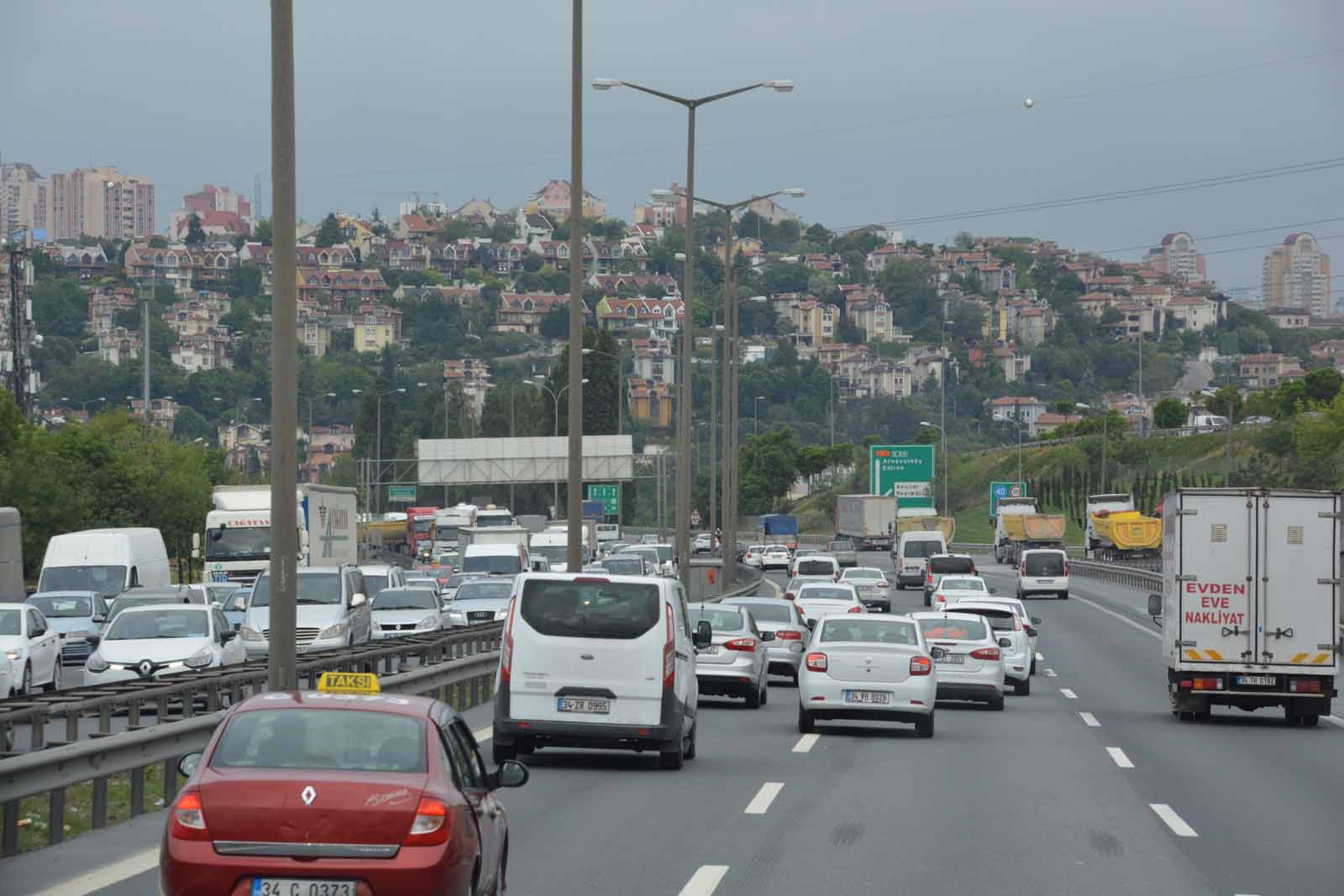
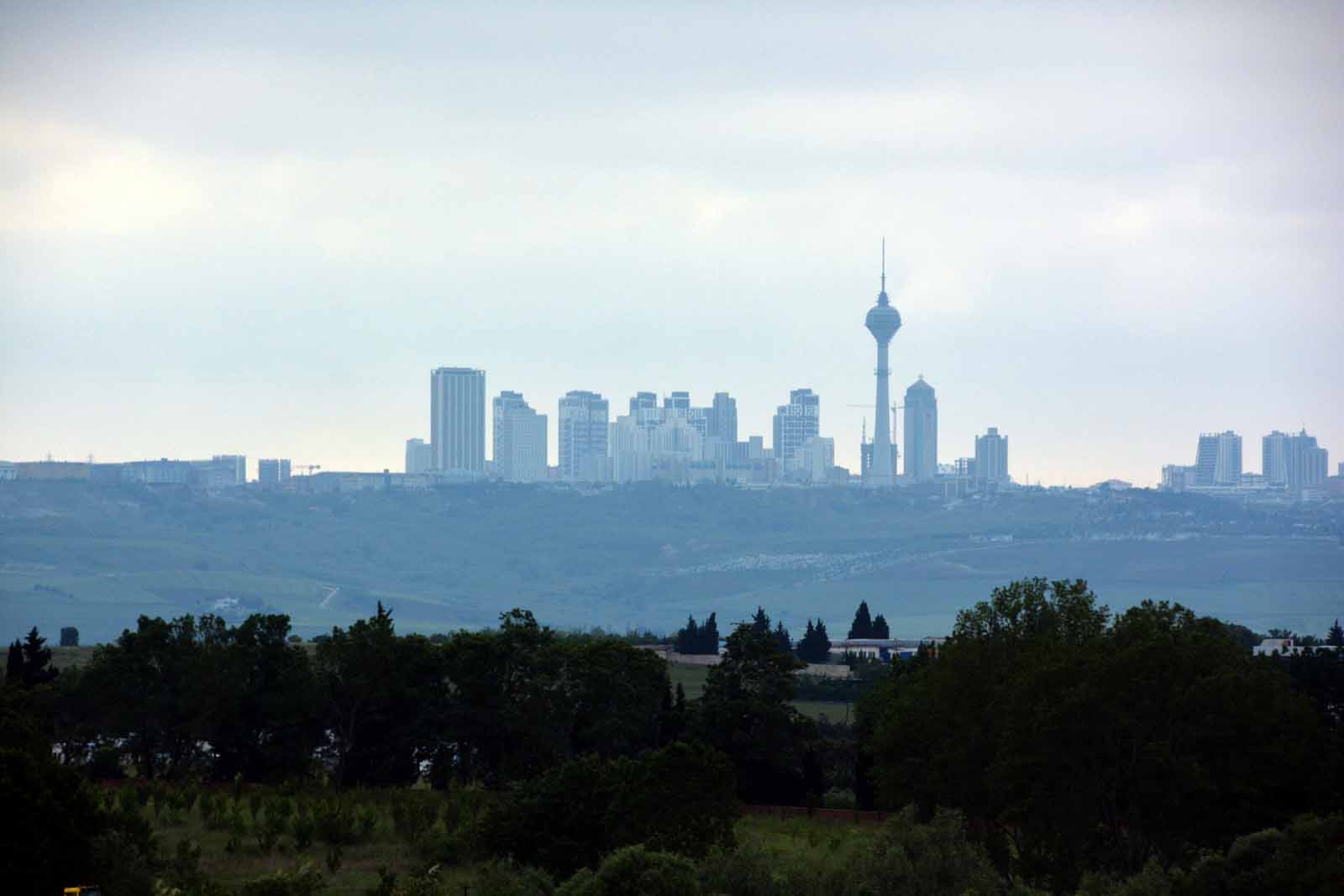
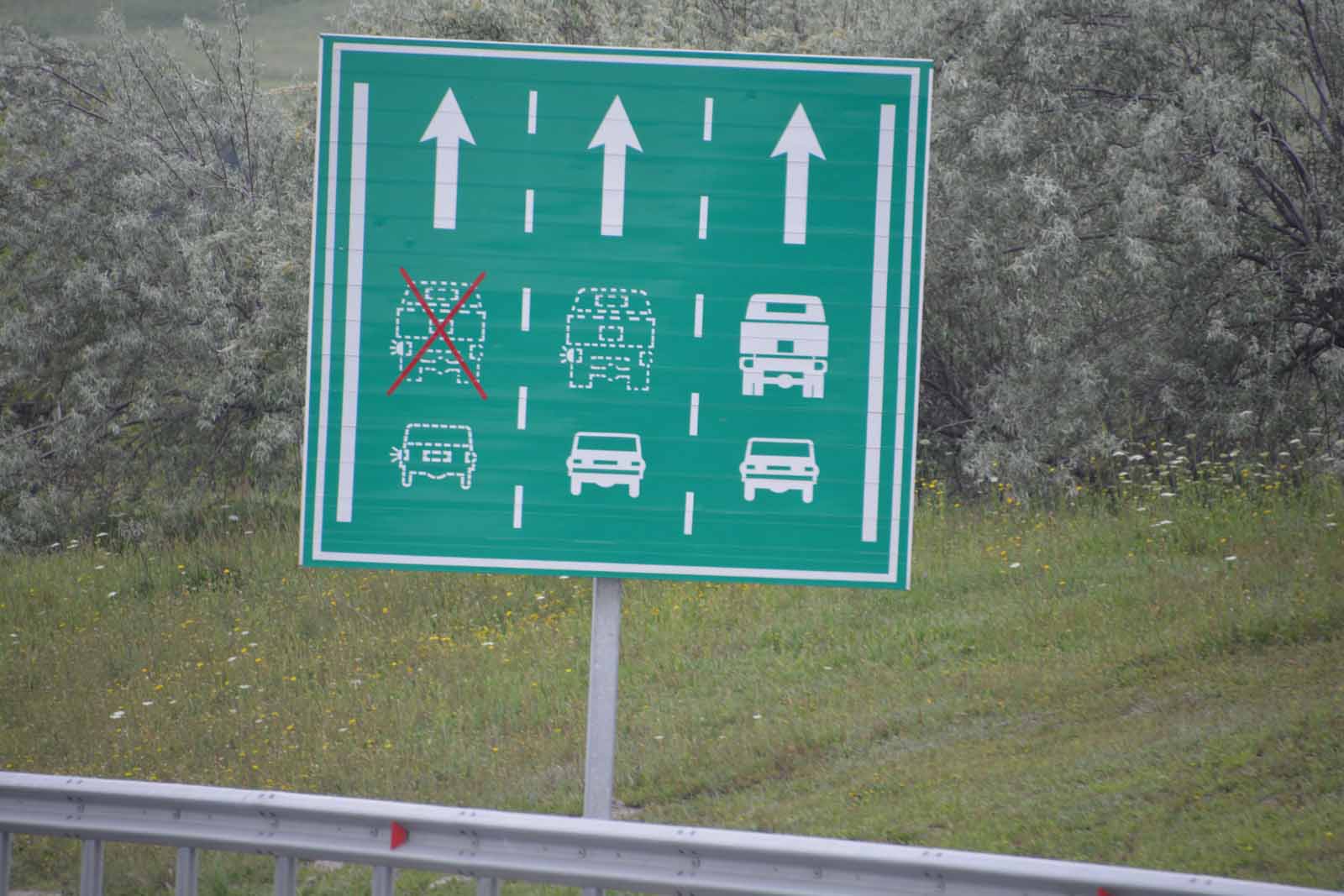
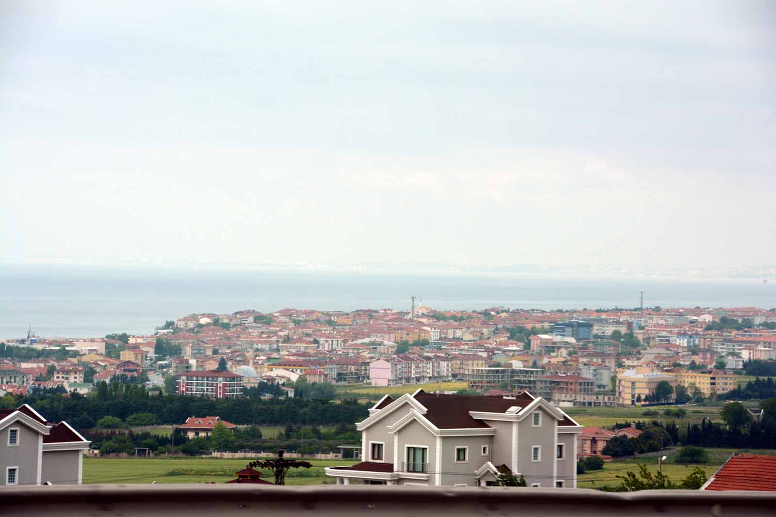
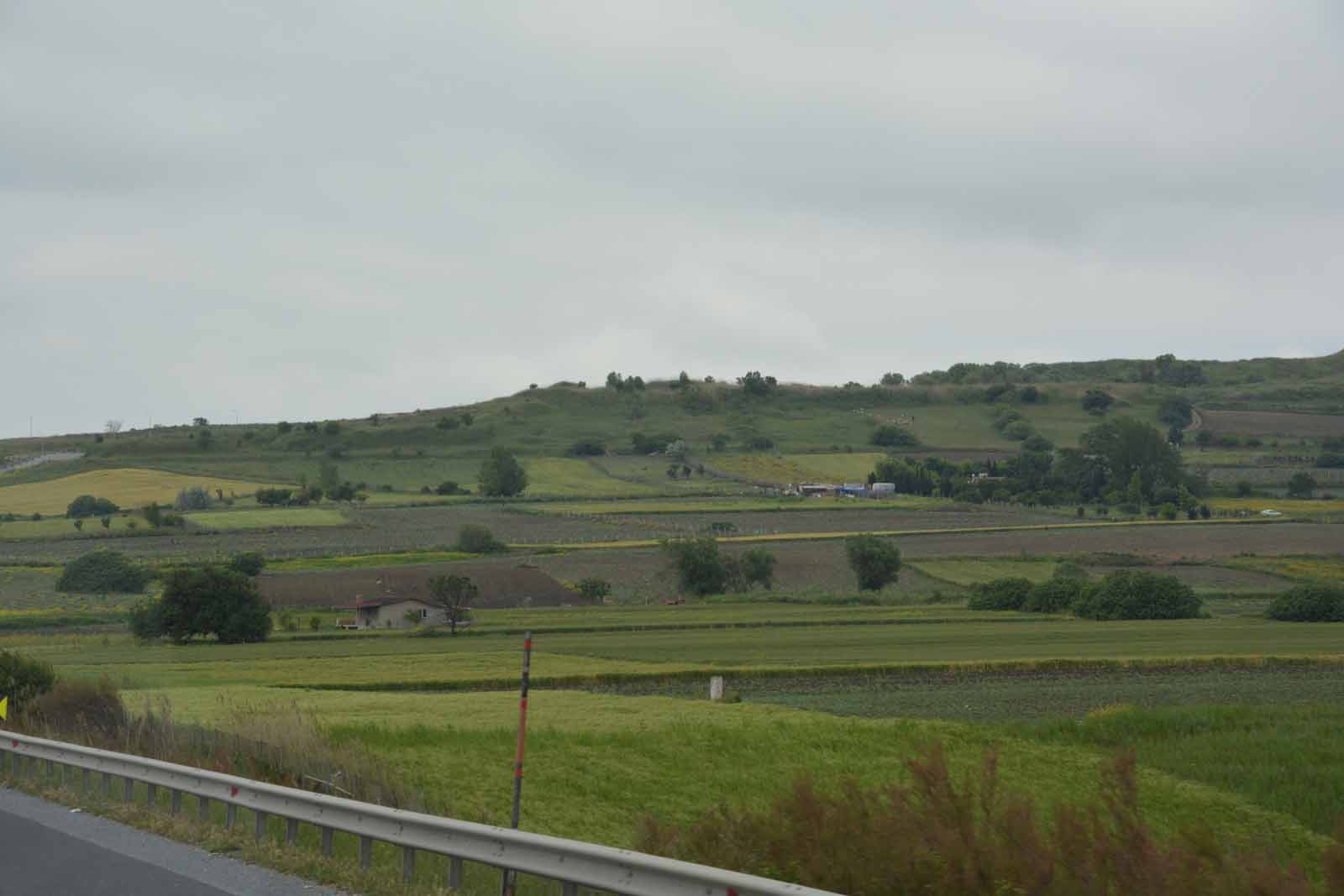
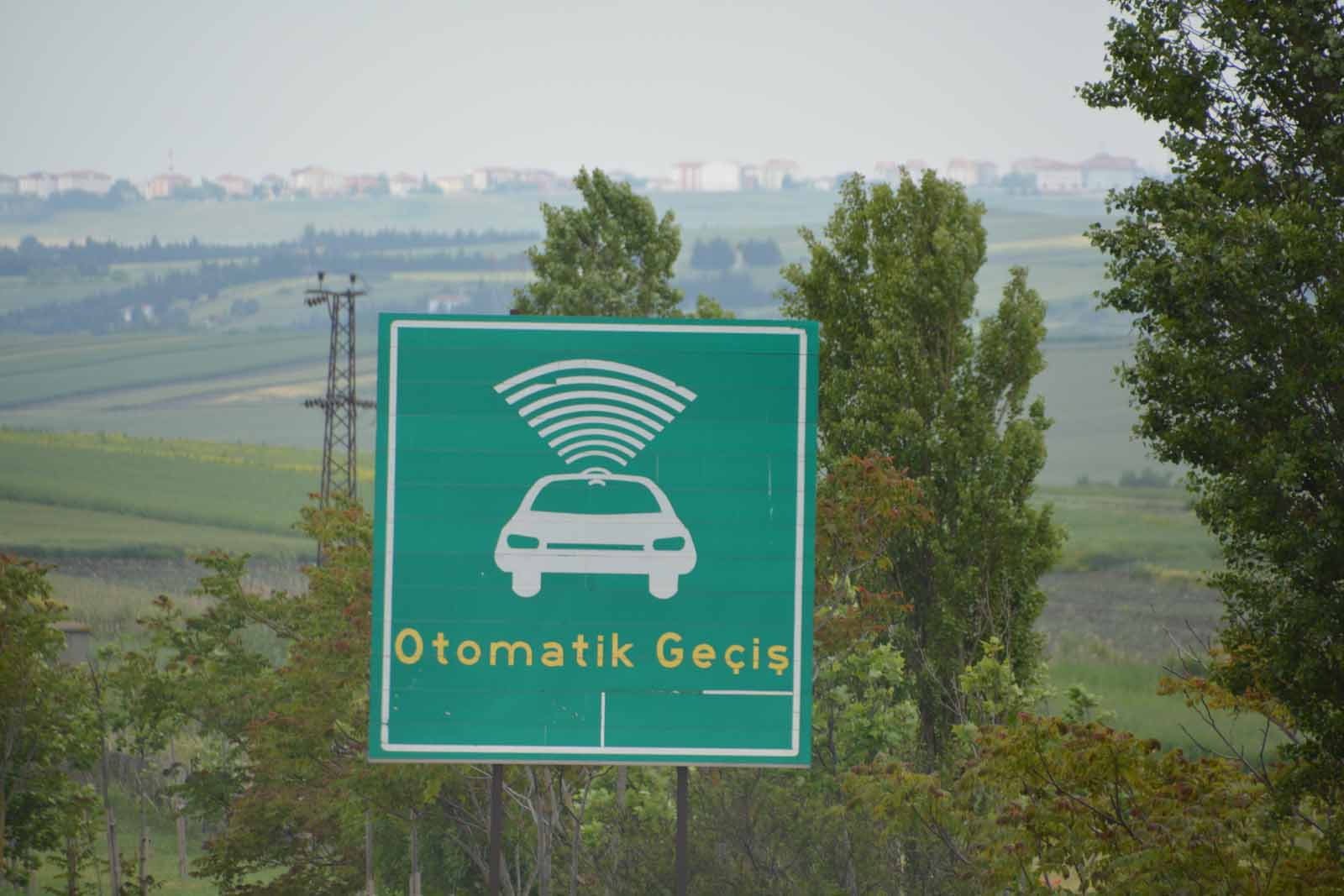
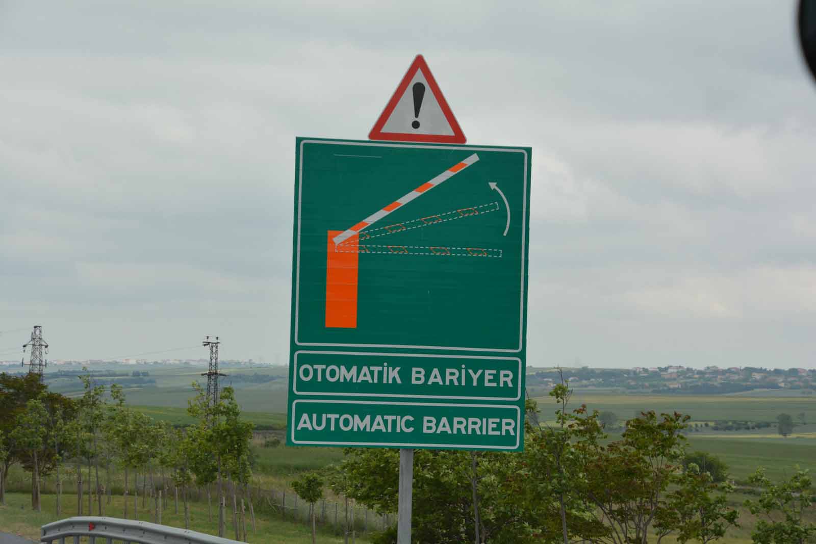
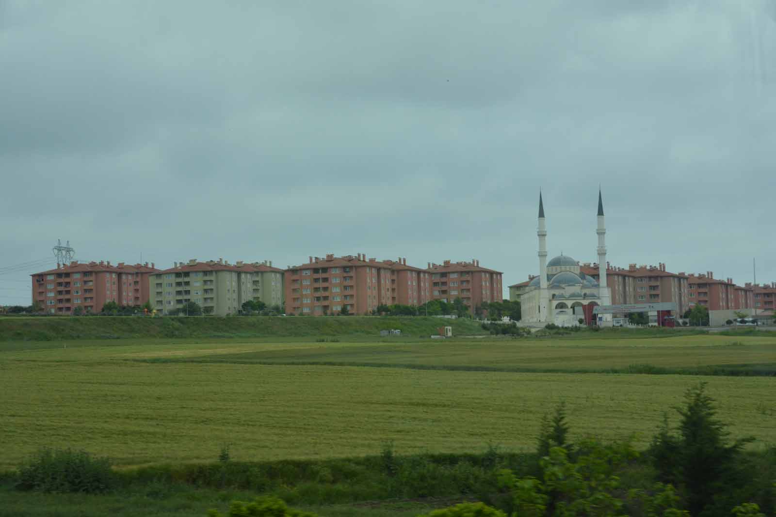
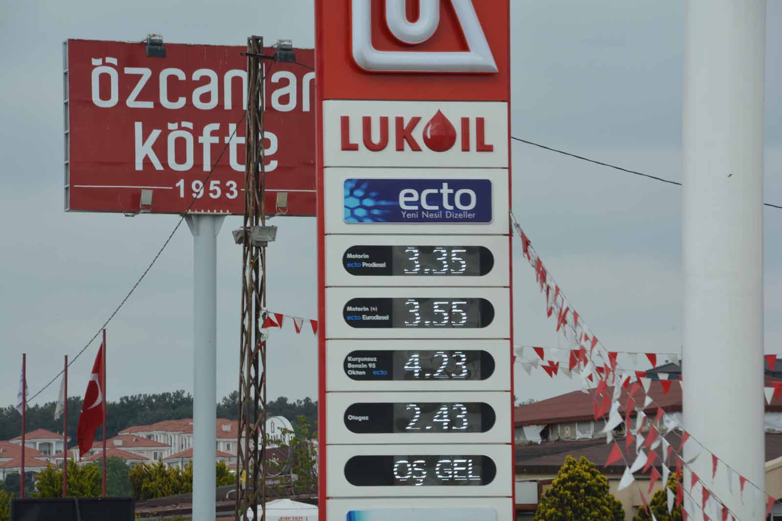
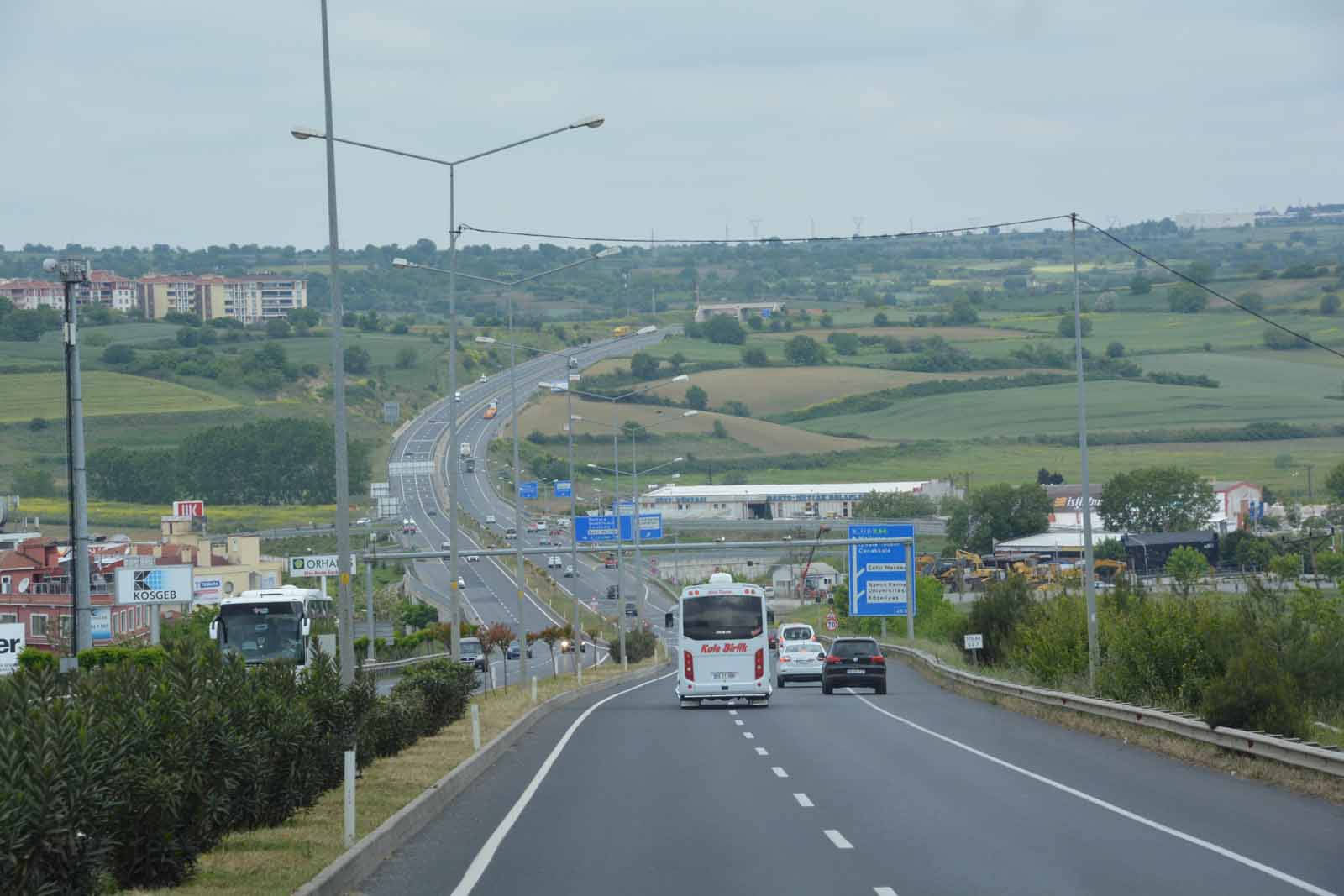
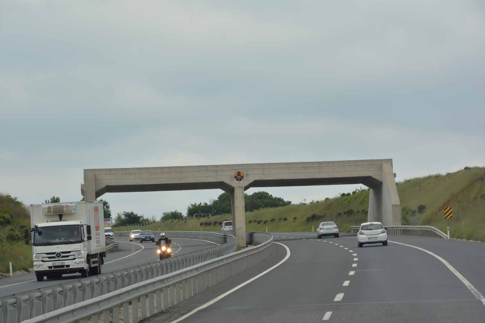
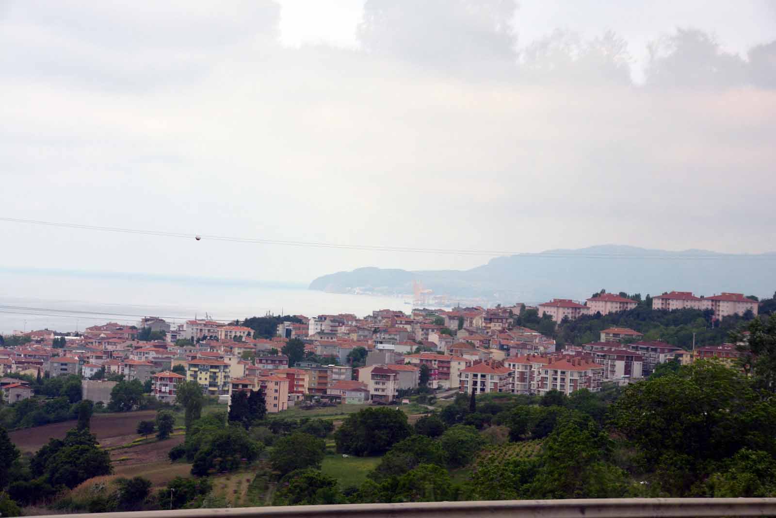
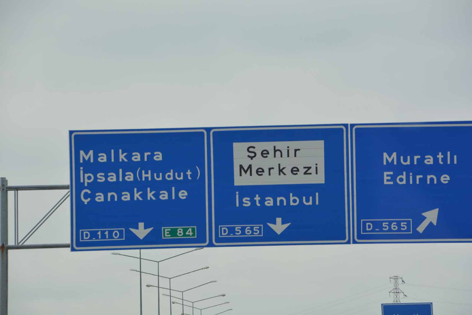
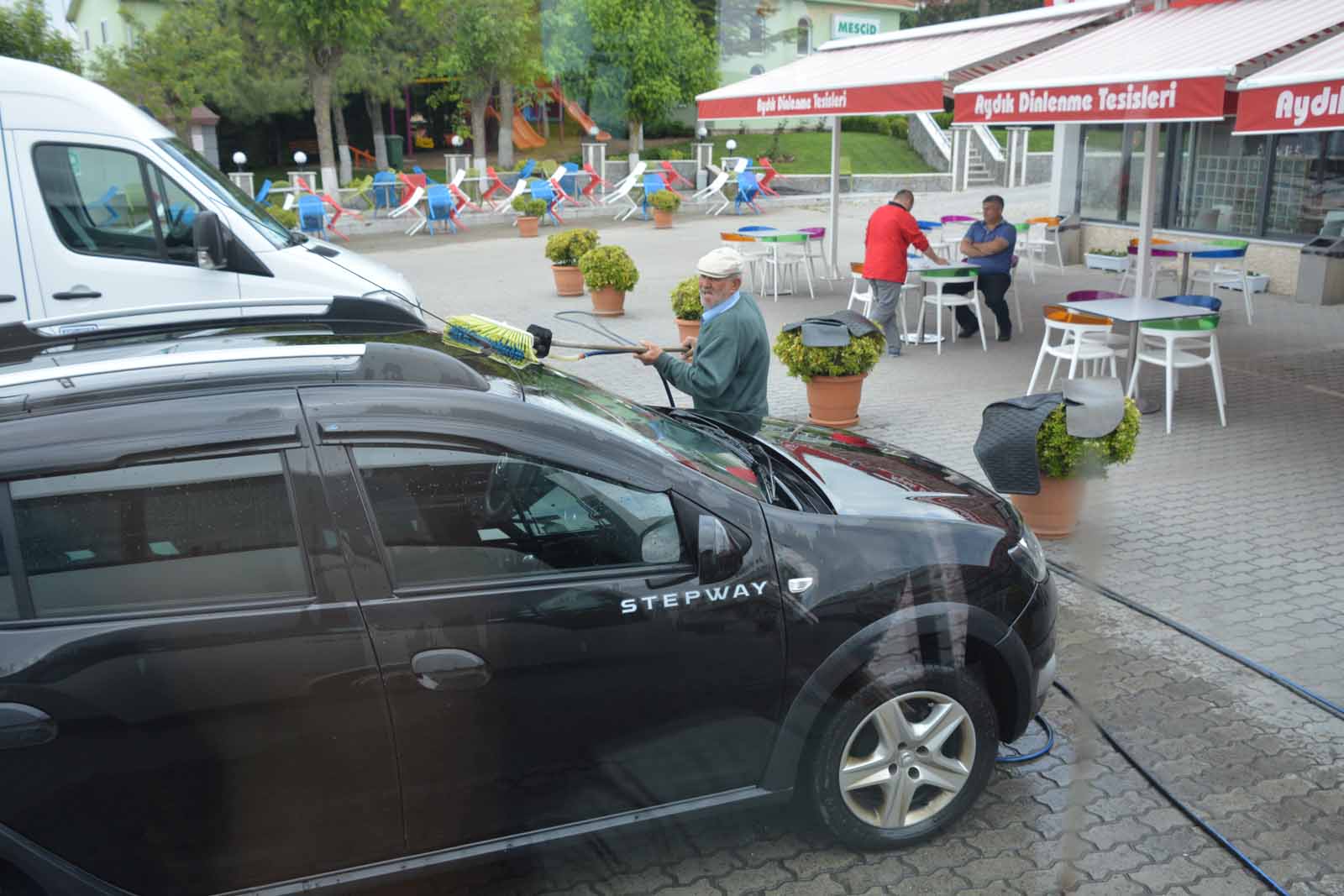
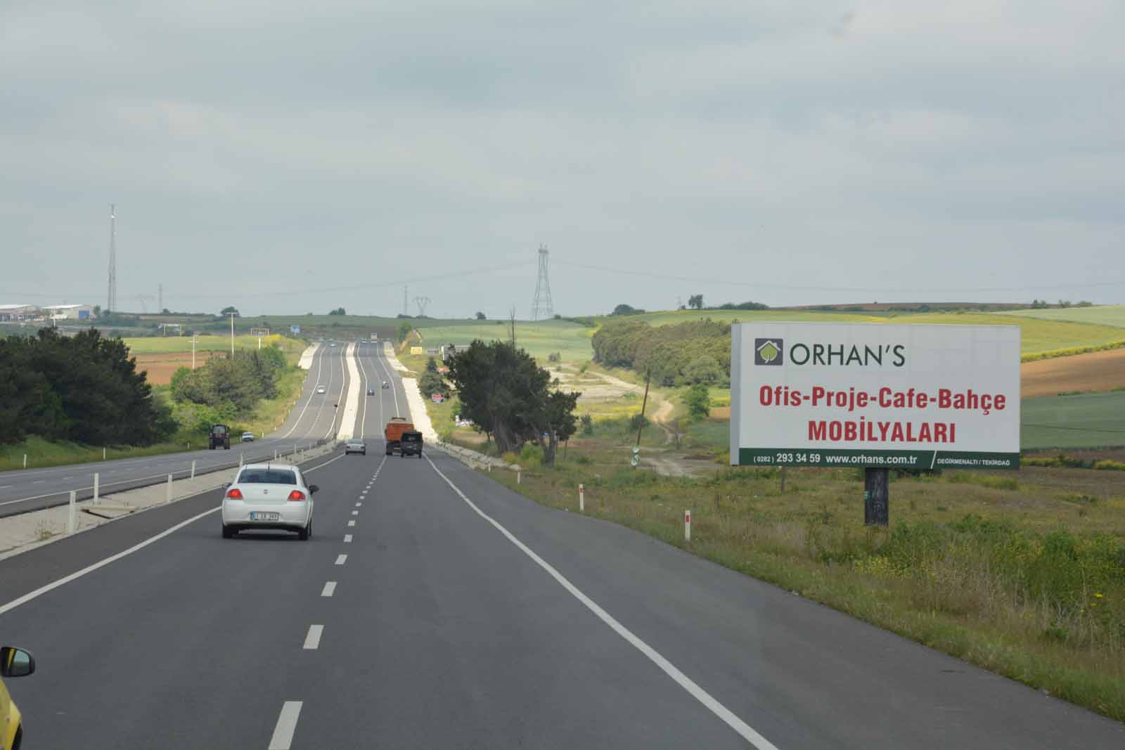
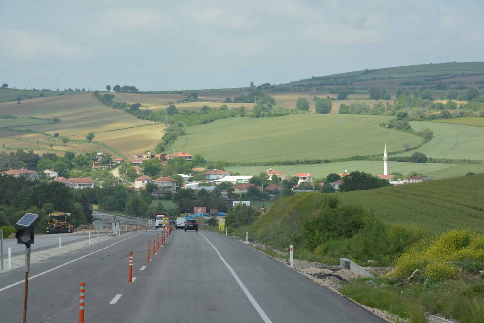
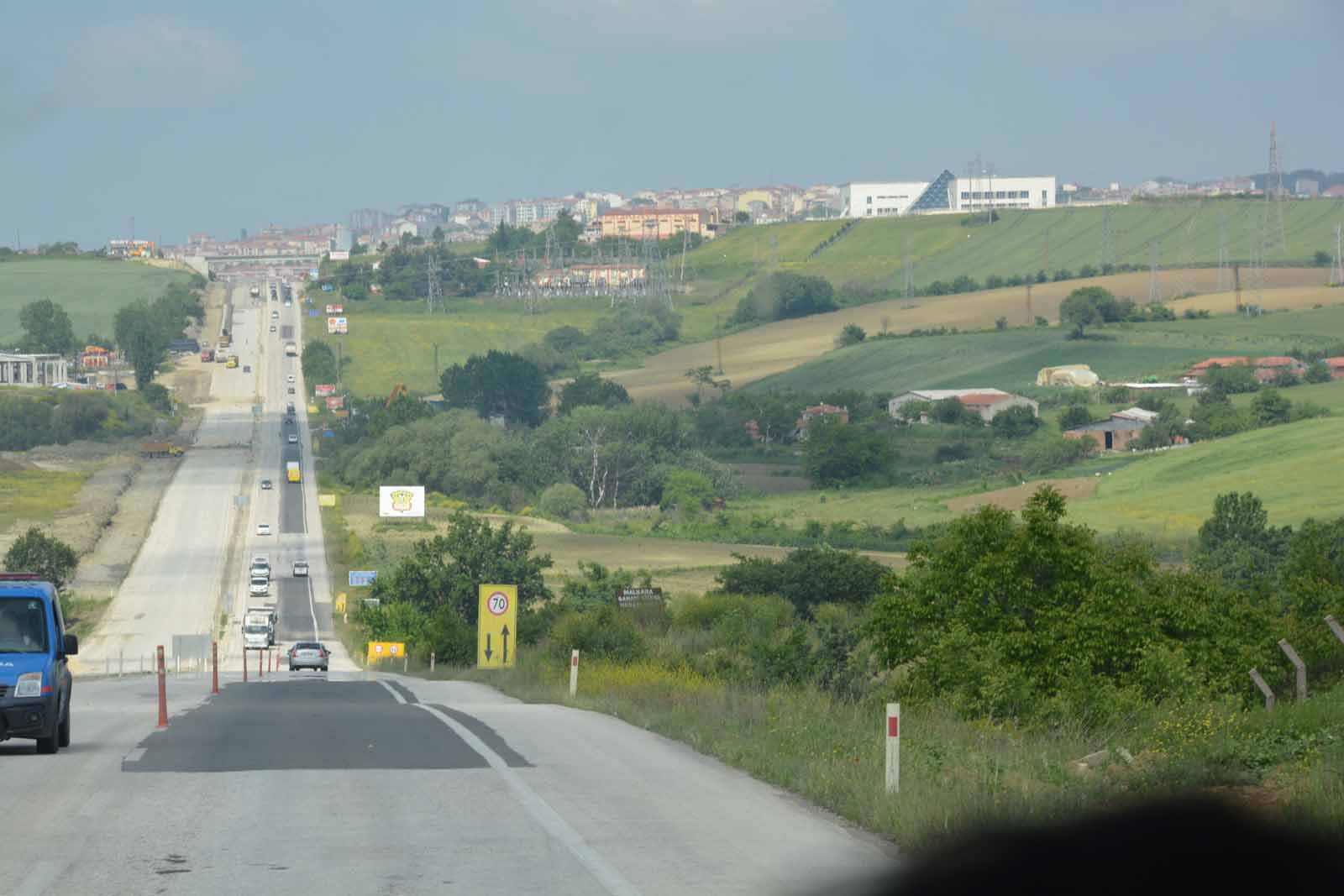
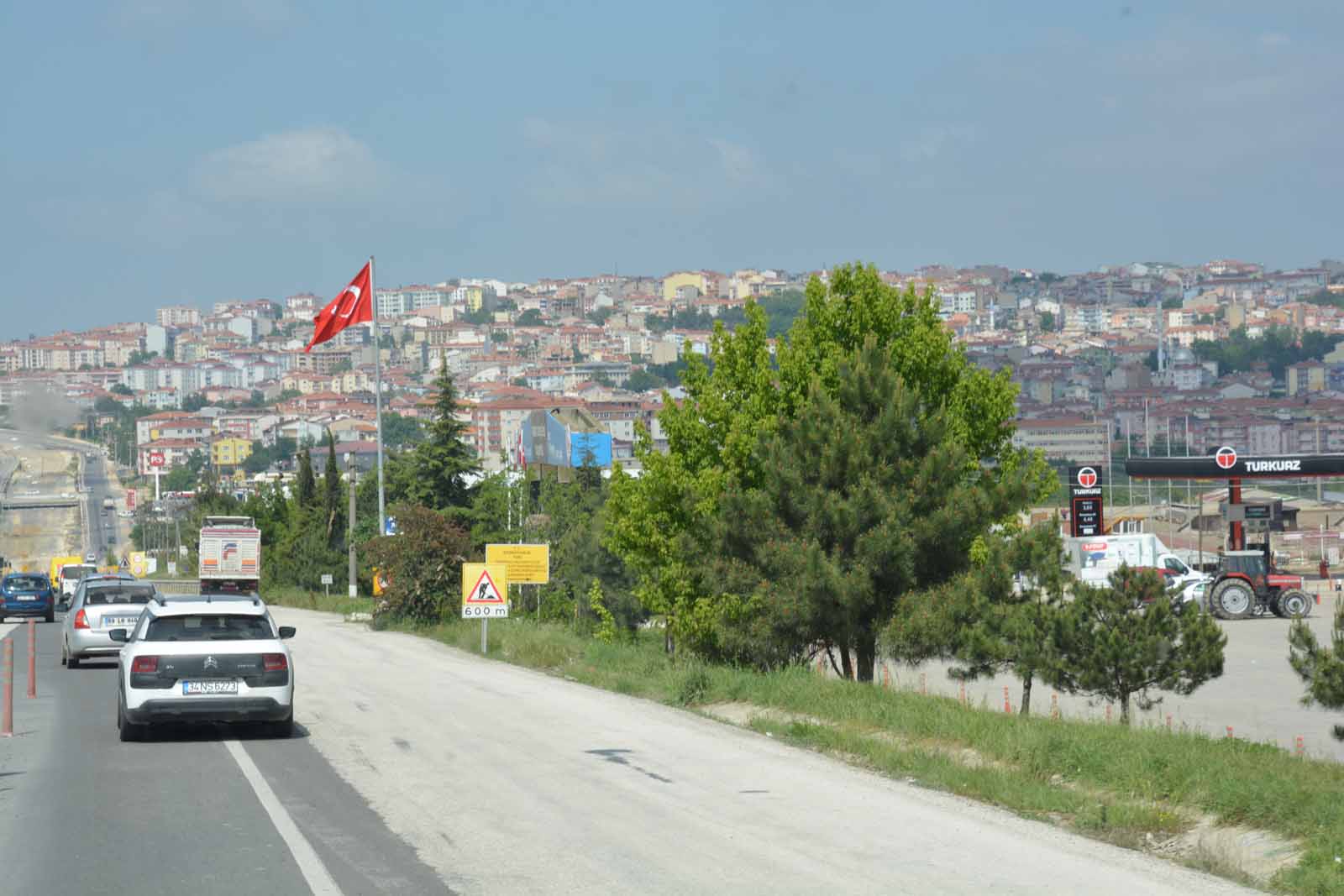
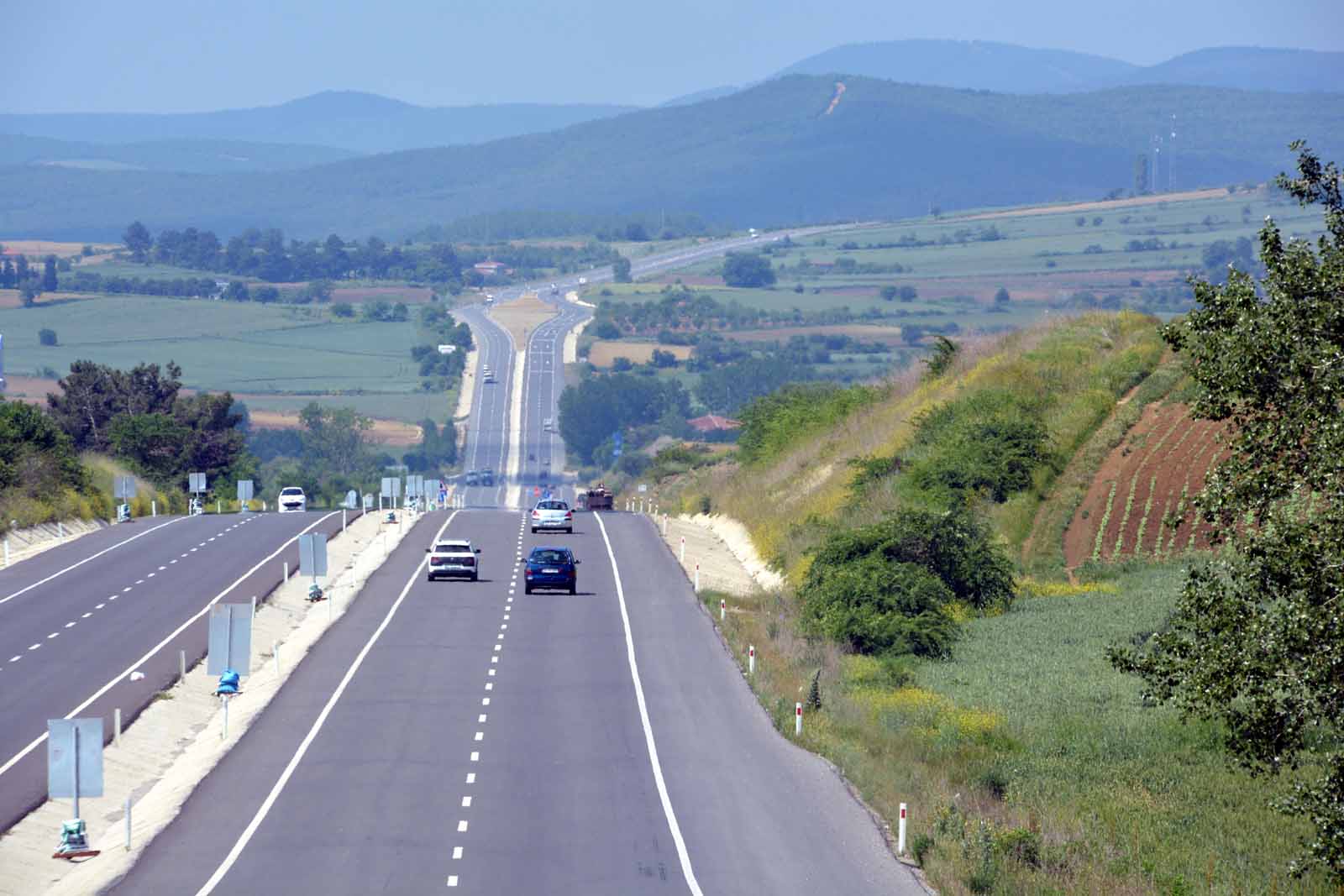
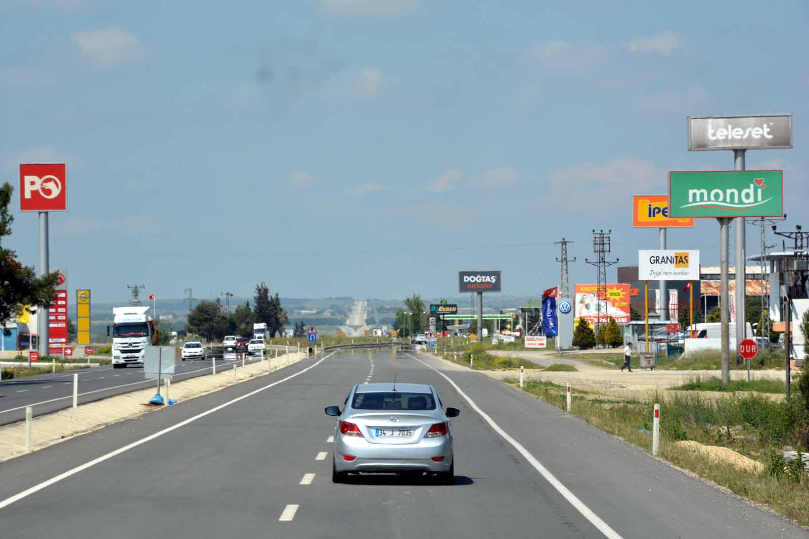
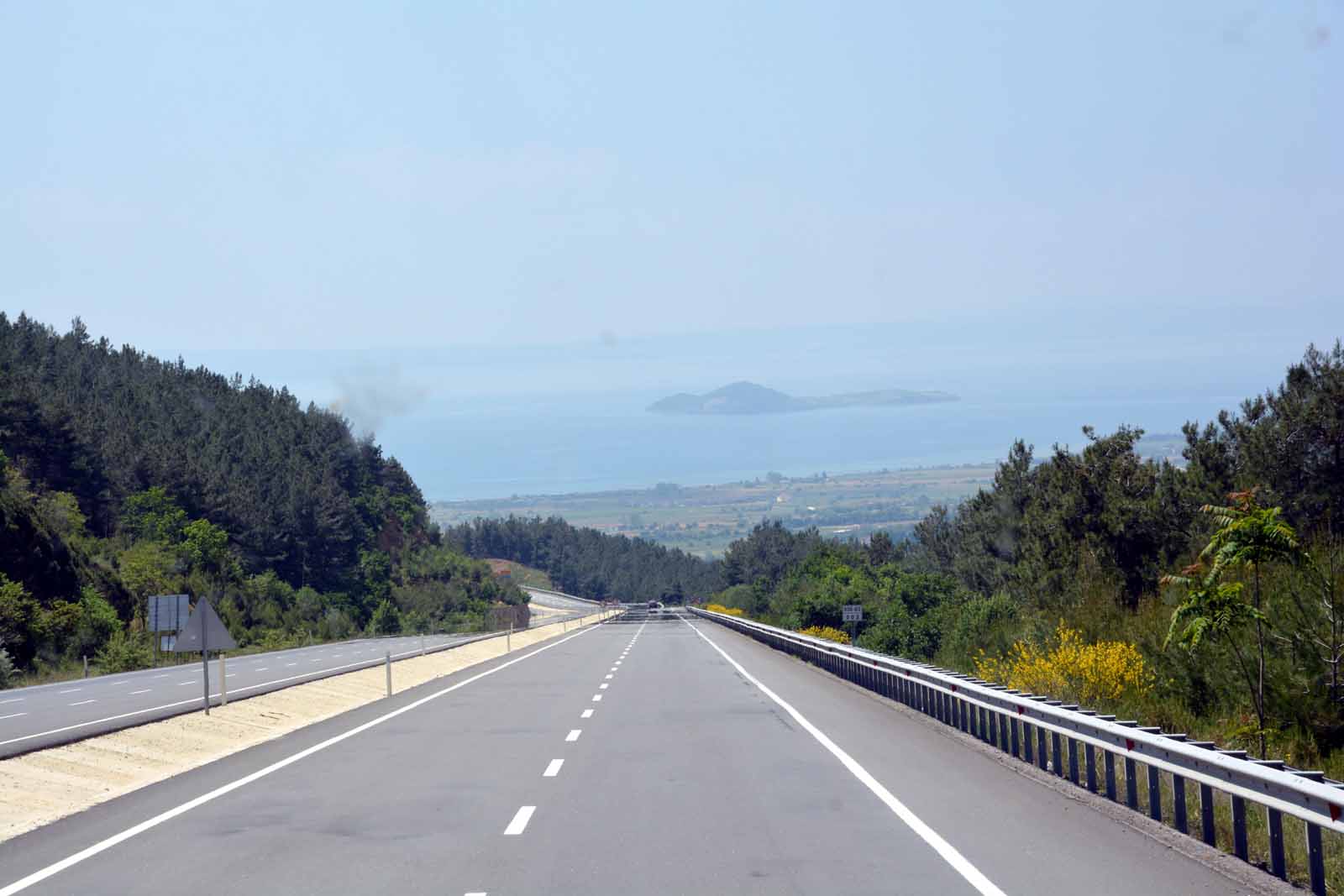
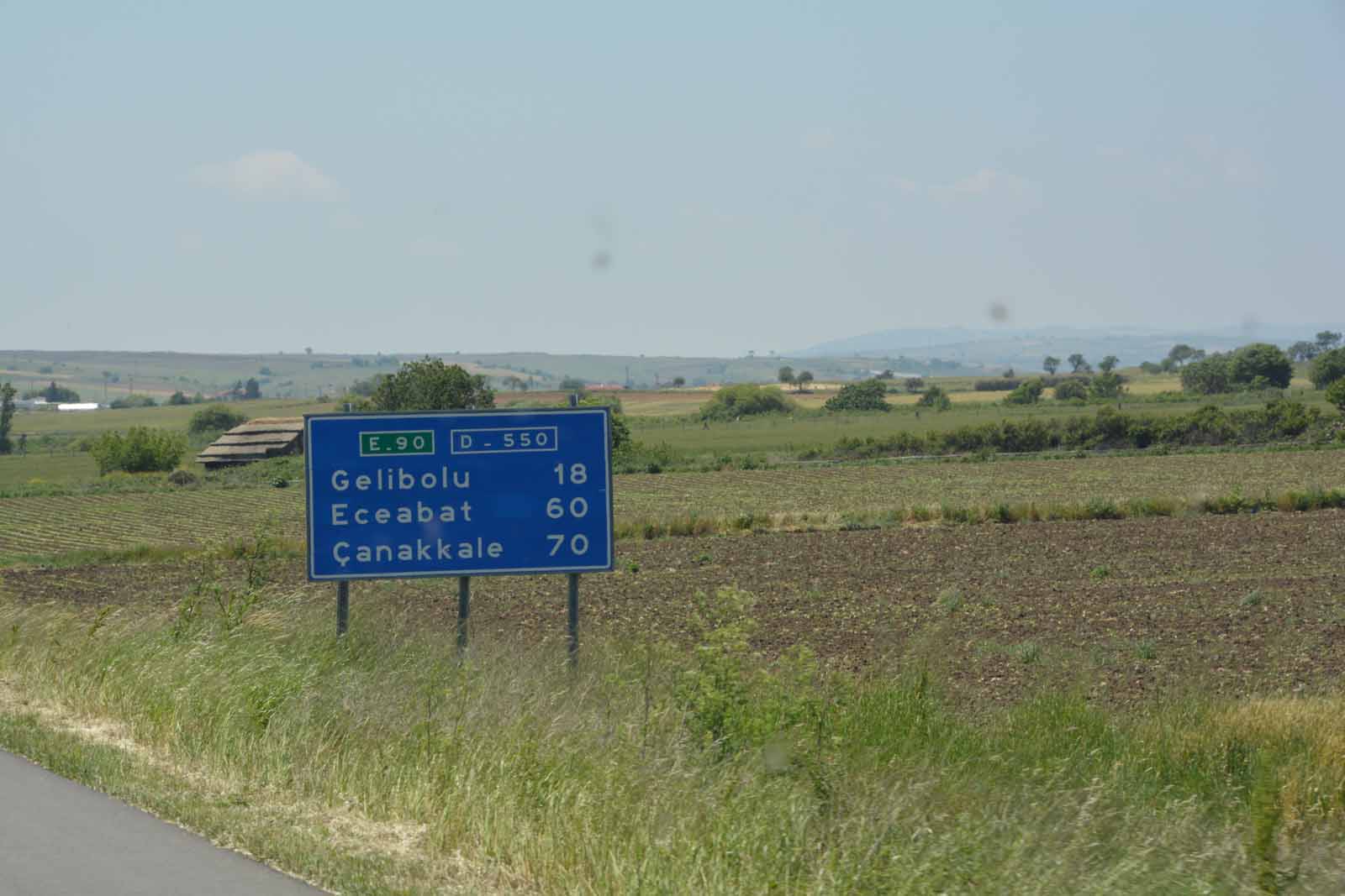
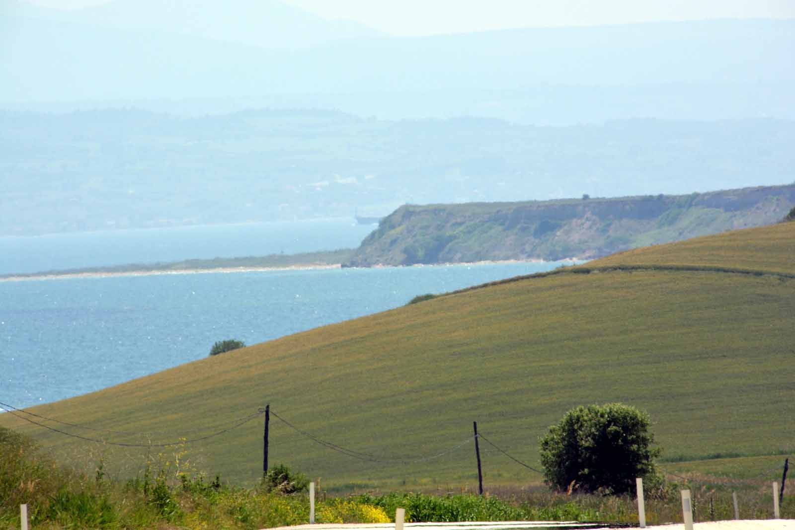
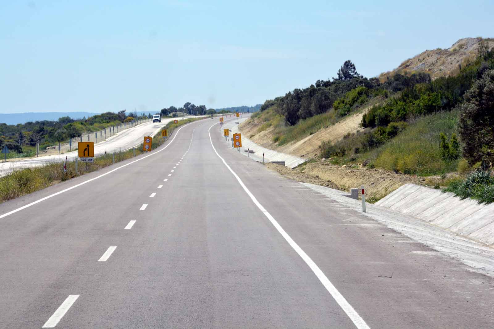
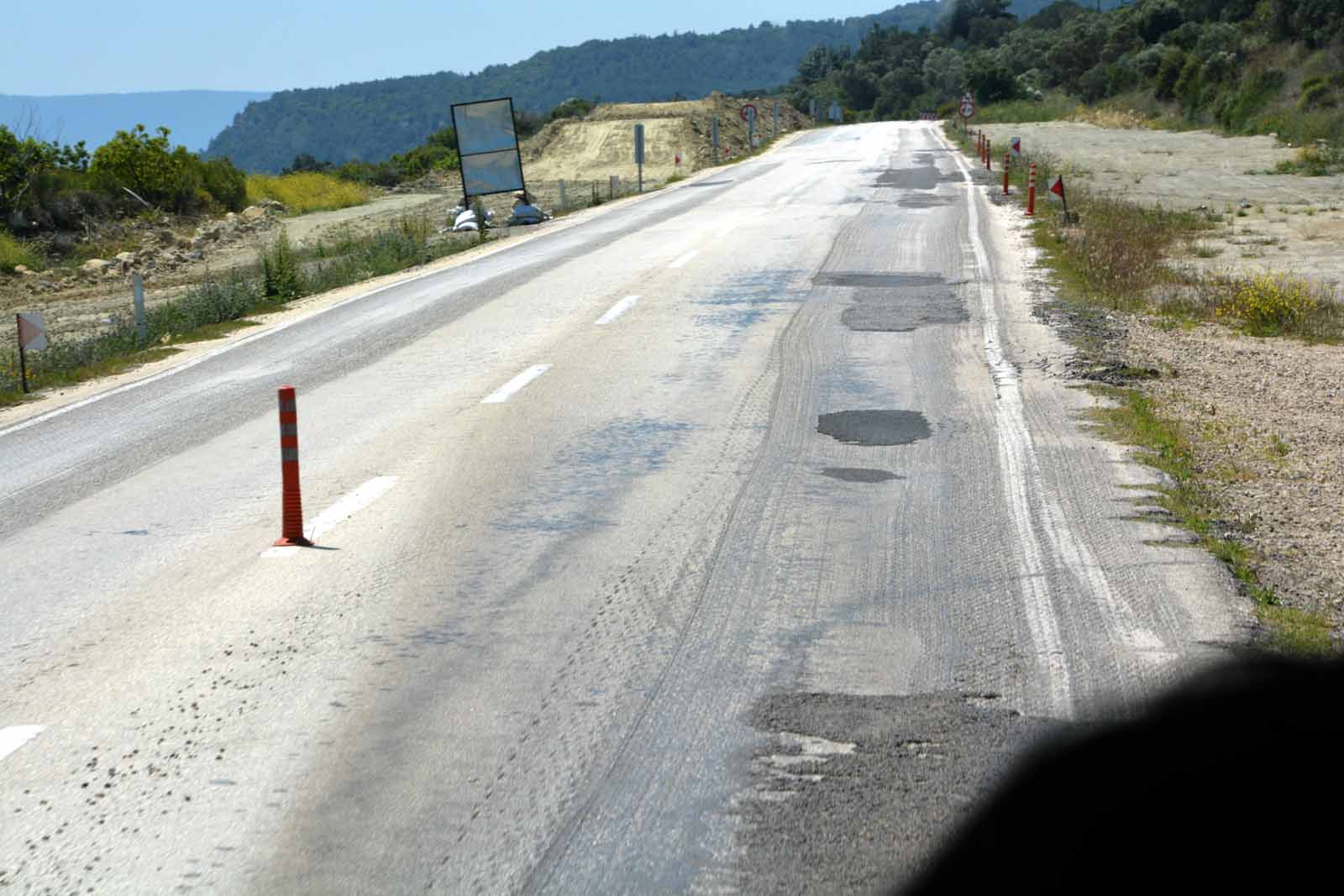
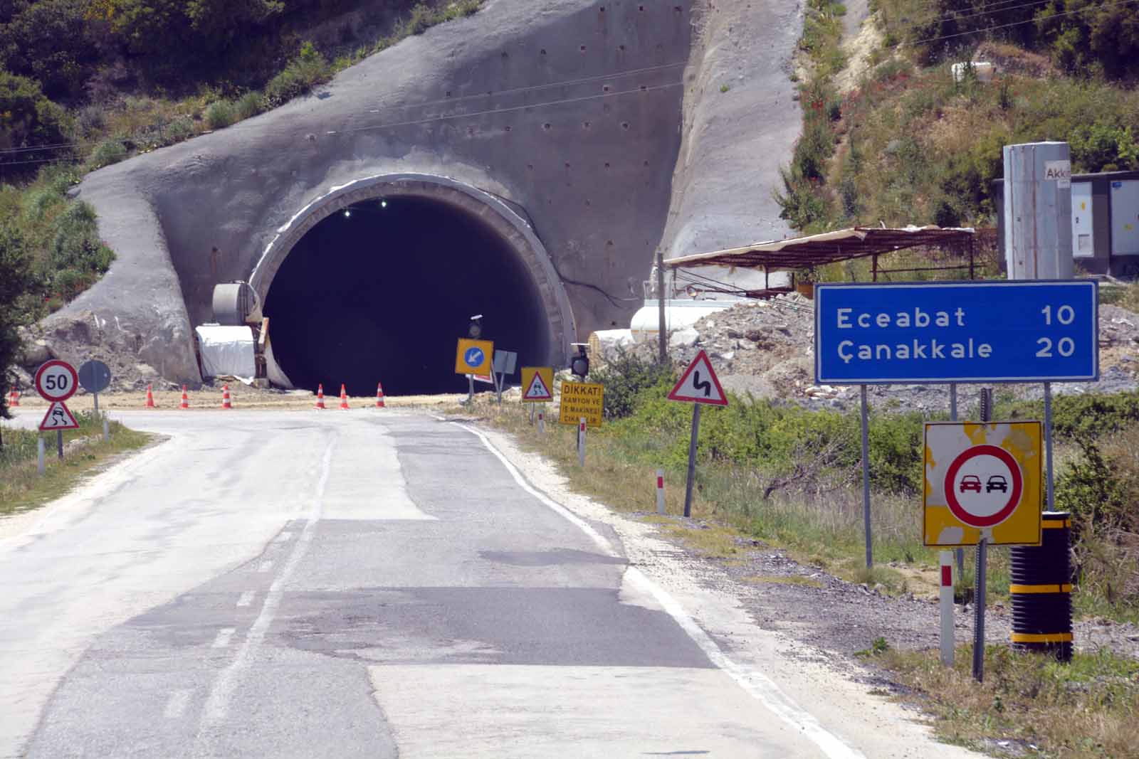
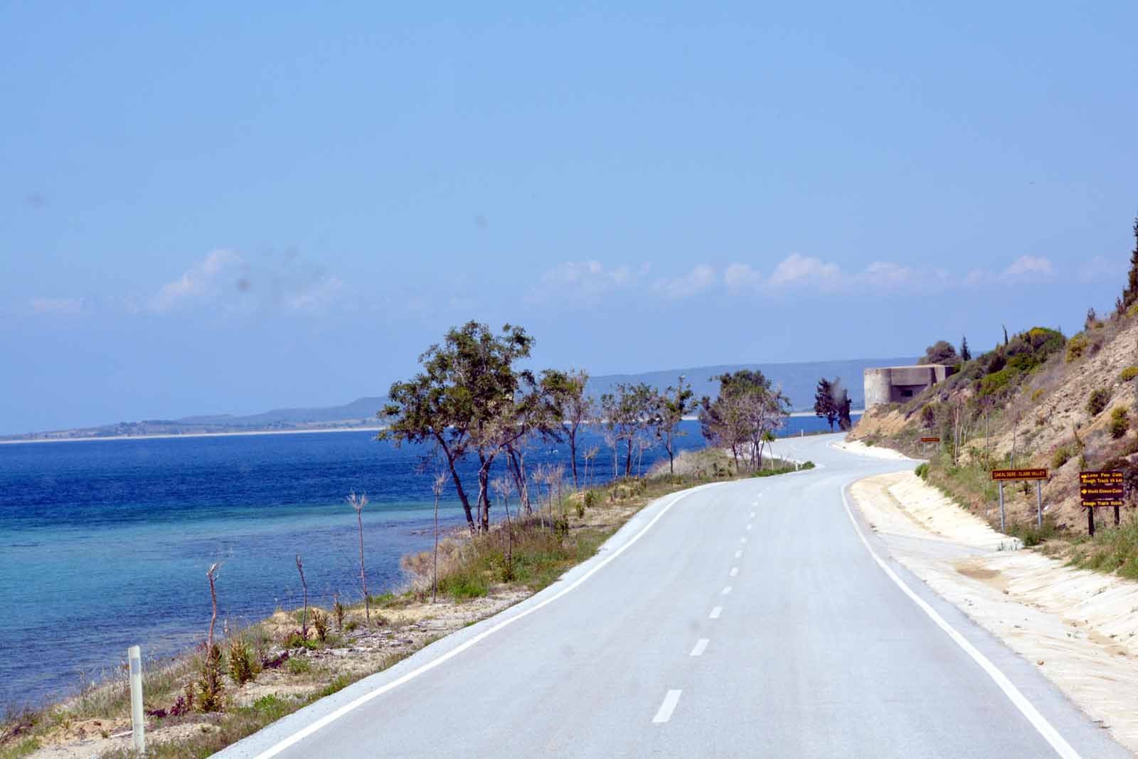
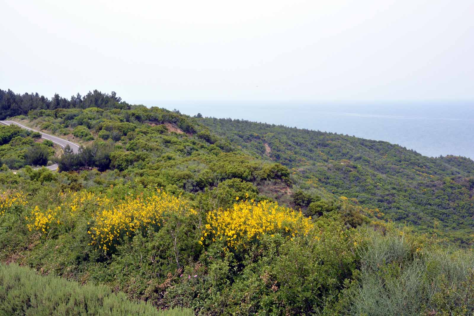
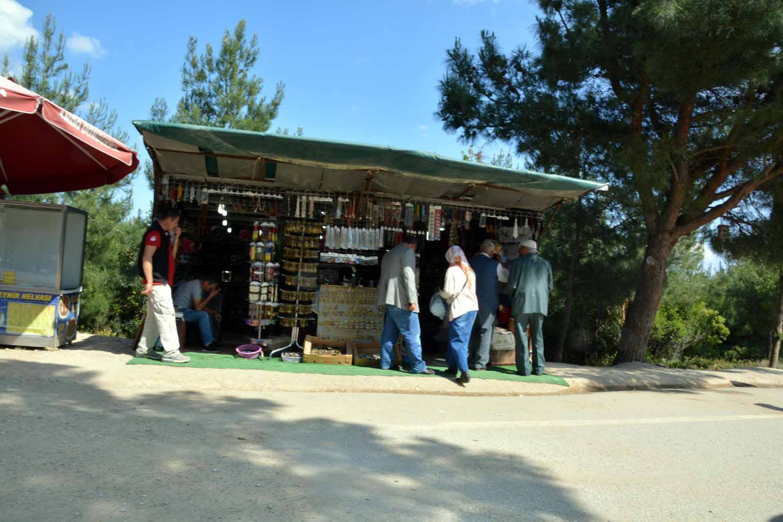
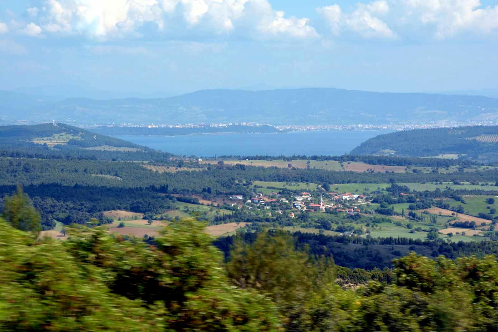
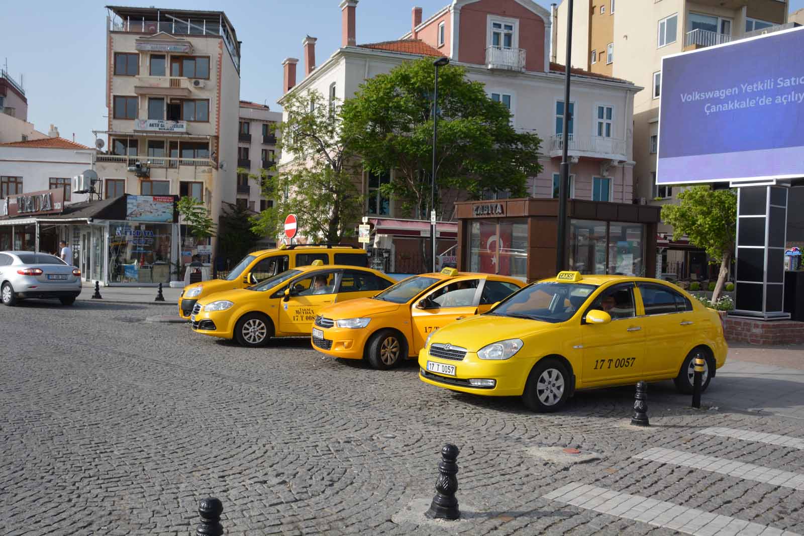
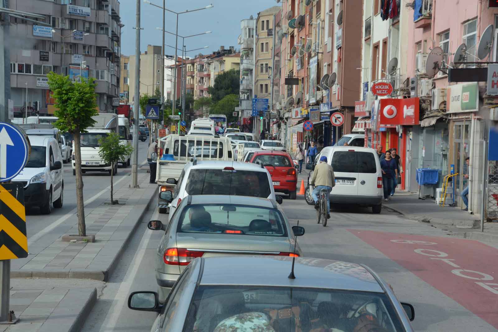
Crete Pilgrimage 2016 - Day 19Turkey - Istanbul to CannakaleIntroductionWe left Istanbul early for our road trip to Gallipoli. It was a long way there was a lot of traffic in Istanbul to negotiate. We headed west then turned south towards the Gallipoli Peninsula, eventually arriving at Anzac Cove by mid-afternoon. The road was in excellent condition most of the way but it degenerated into a mass of potholes near the end, where Turkey had run out of money and time to complete the road before the centenary of the Gallipoli battle in 2015. On first arriving on the peninsula, we paid a brief visit to Anzac Cove, Lone Pine and Chunuk Bair before heading to Eceabat and the ferry across the Dardenelle Strait to Cannakale and our hotel. But we were scheduled to spend the next two days on the Gallipoli Peninsula, visting all the well-known places of importance to Australian and New Zealand families and we actually visited some of the places two or three times. With this in mind, the next section of the travel story is grouped by location, not by our actual itinerary. You can read through the full story, or jump to locations of interest using the table below. There is a link at the bottom of each section to bring you back here. Istanbul to GallipoliWe headed west out of Istanbul, into the thick of the morning traffic. Actually it was not too bad - I have seen worse in Auckland and definitely much worse in Cairo. We passed mosques, apartment buildings and many modern office blocks, some of strange designs. Eventually the traffic thinned out and we were in the rural countryside. Some of the roadsigns were interesting, as were the half-finished motorway over-bridges. We stopped for drinks and rest-rooms before turning south towards Gallipoli. We skirted the Dardenalle Strait and then crossed over the peninsula to the western (Adriatic) side to reah Anzac Cove.
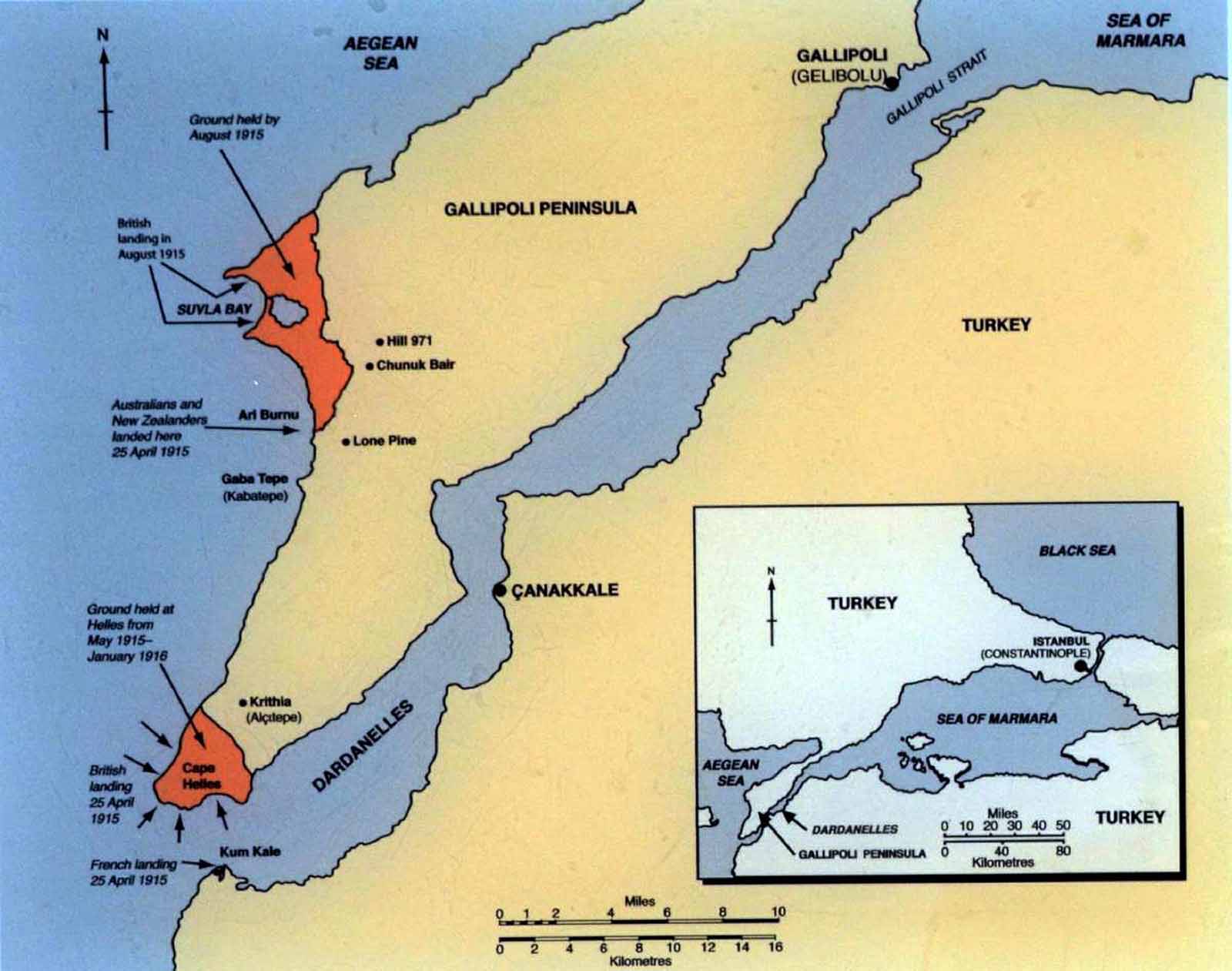
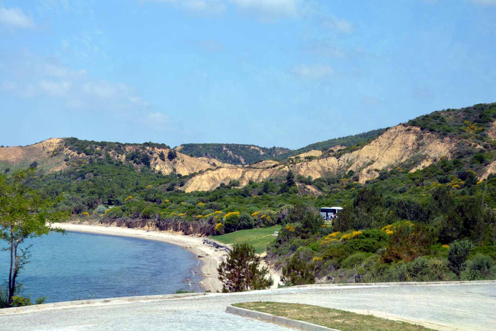
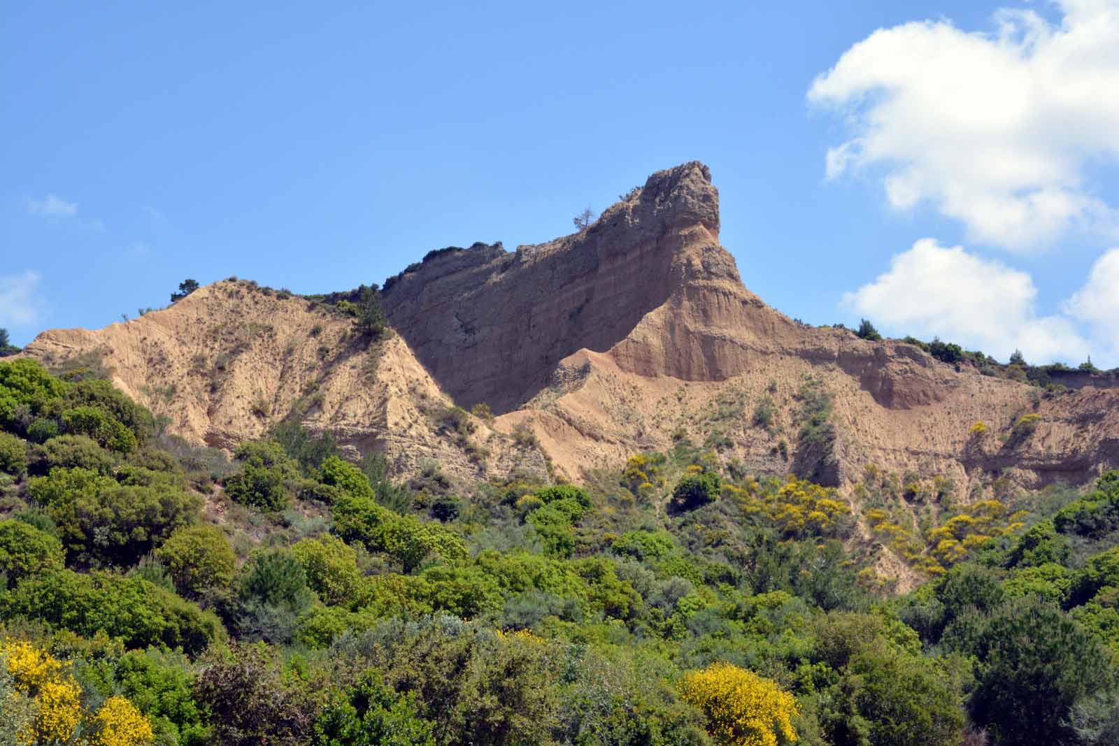
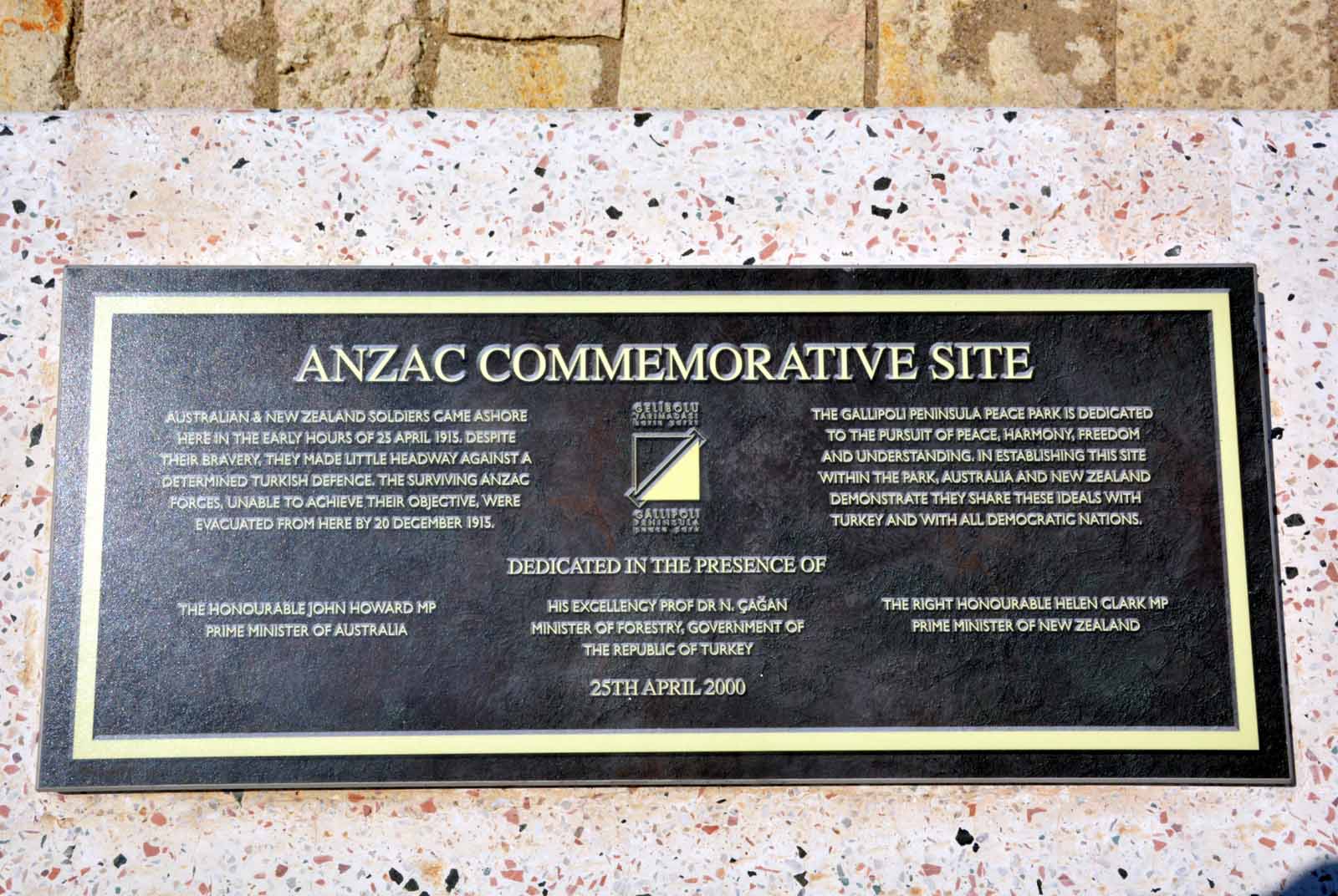
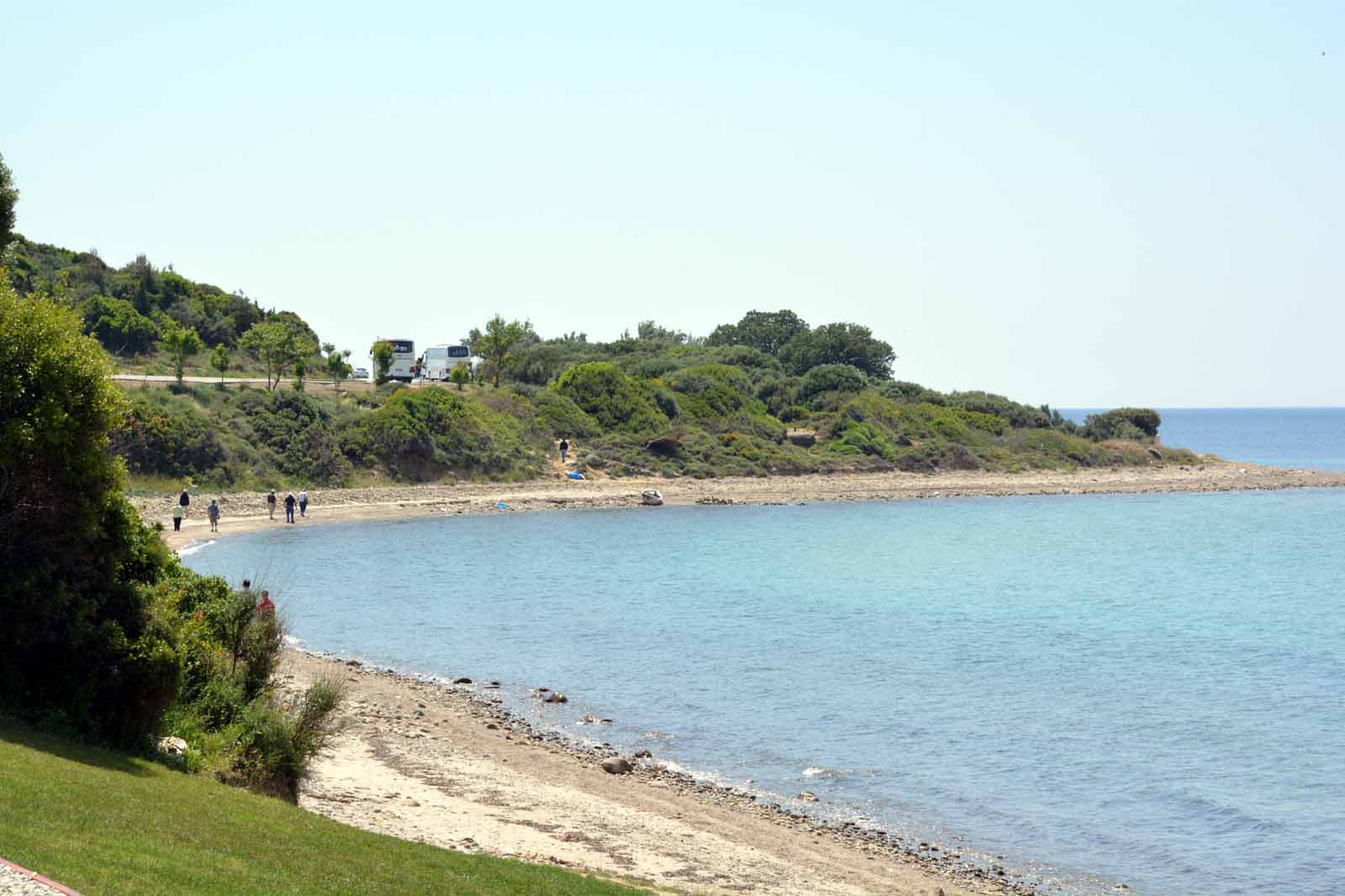
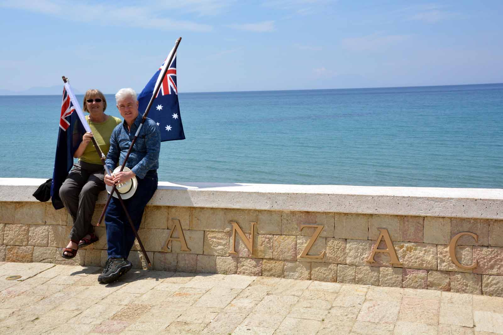
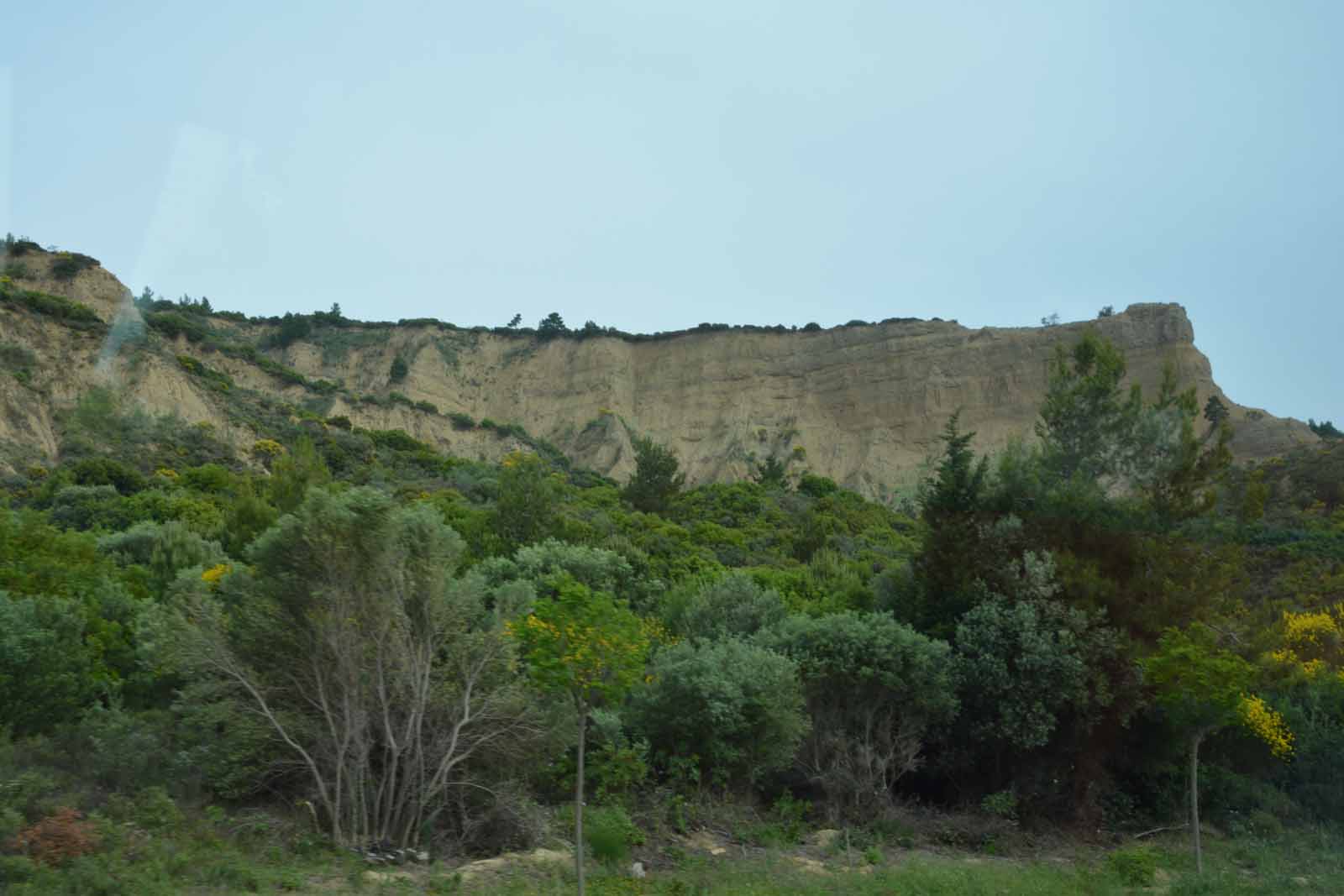
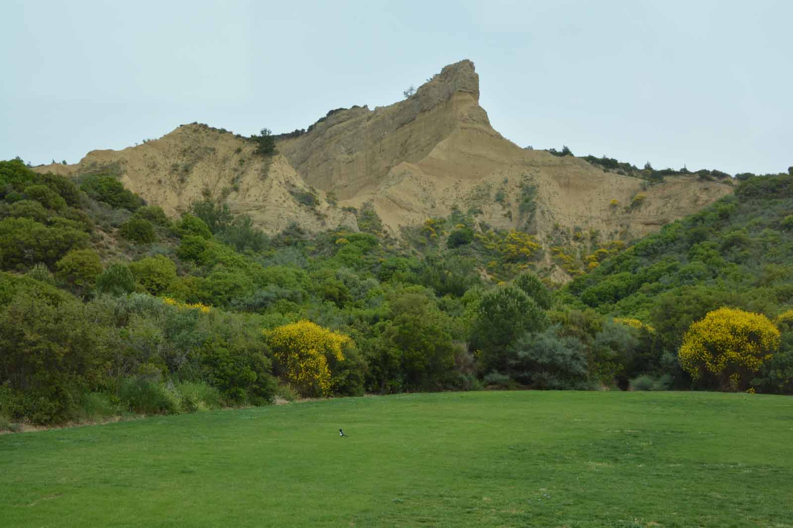
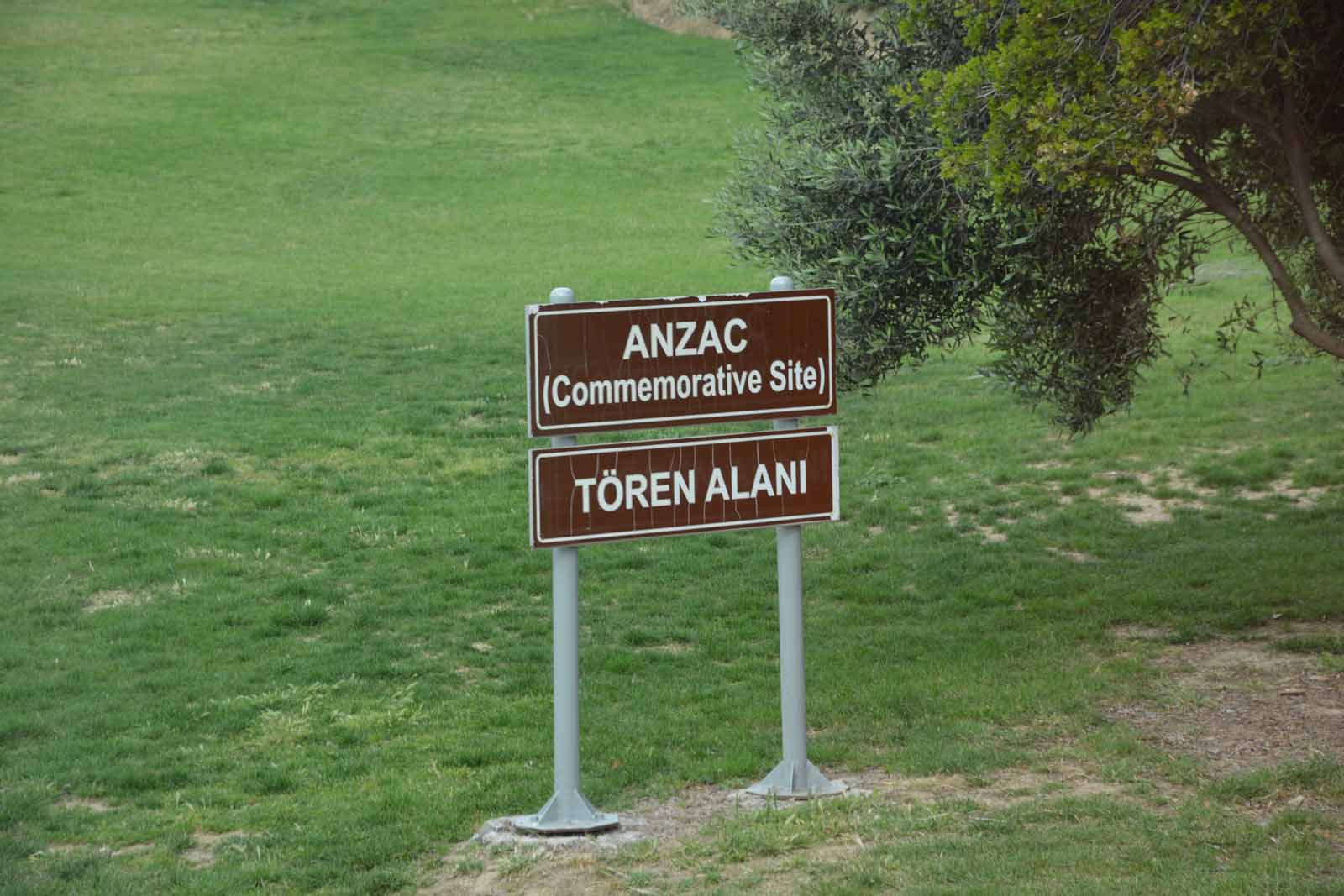
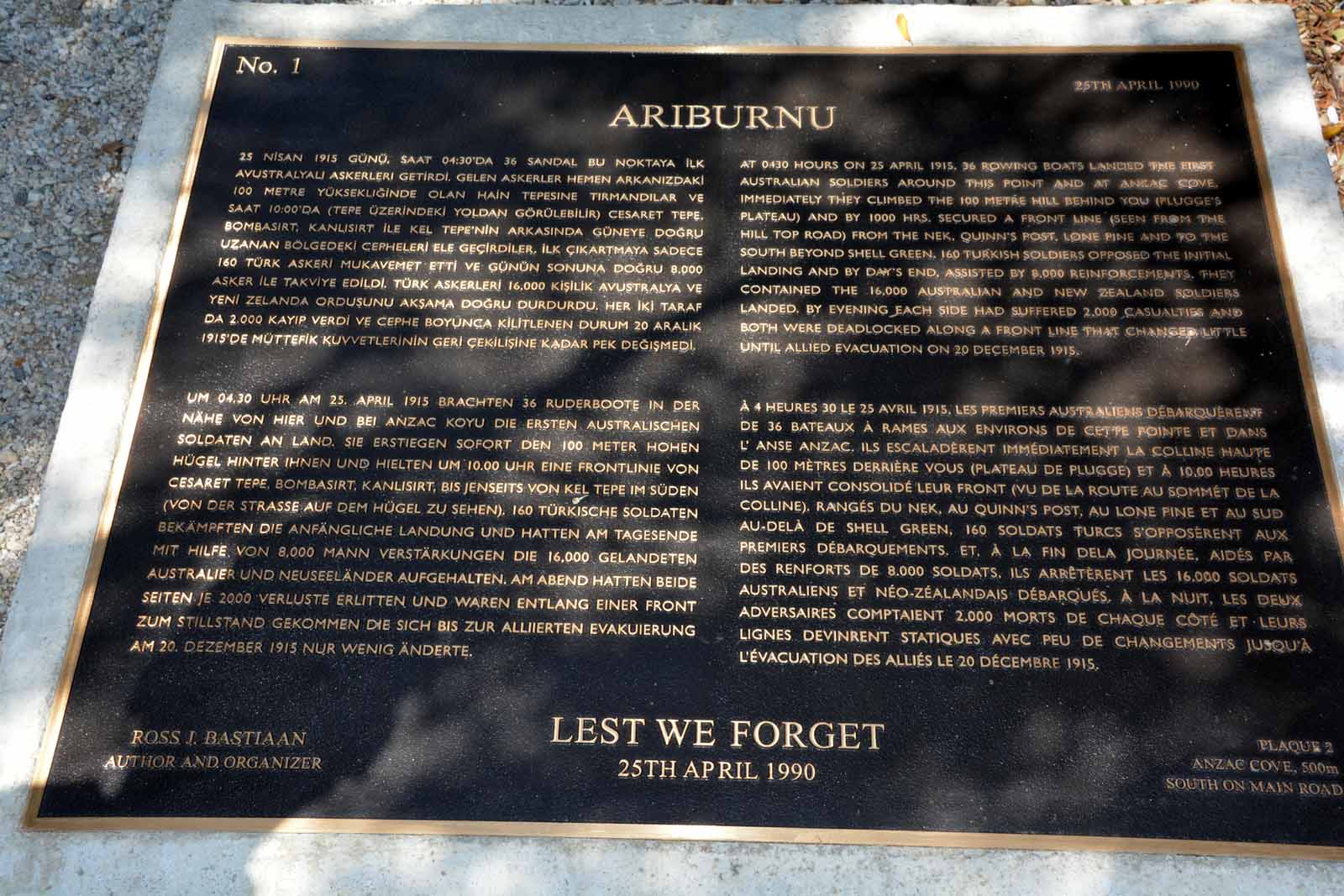
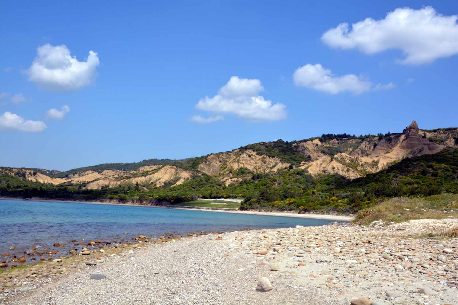
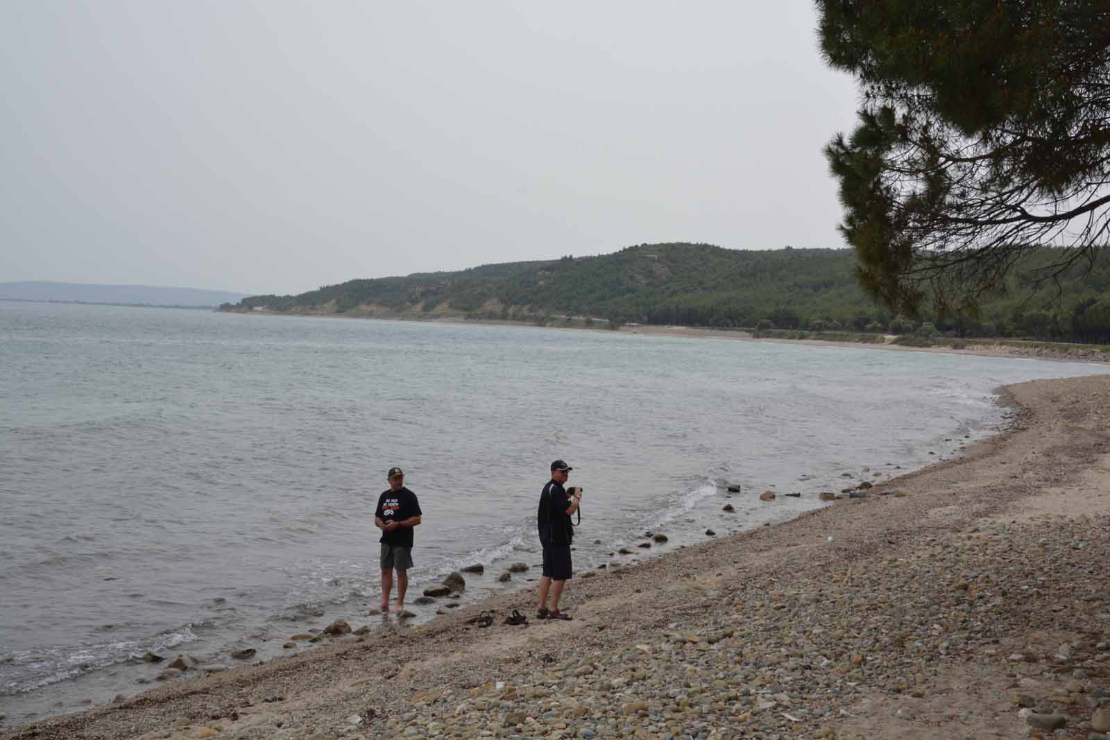
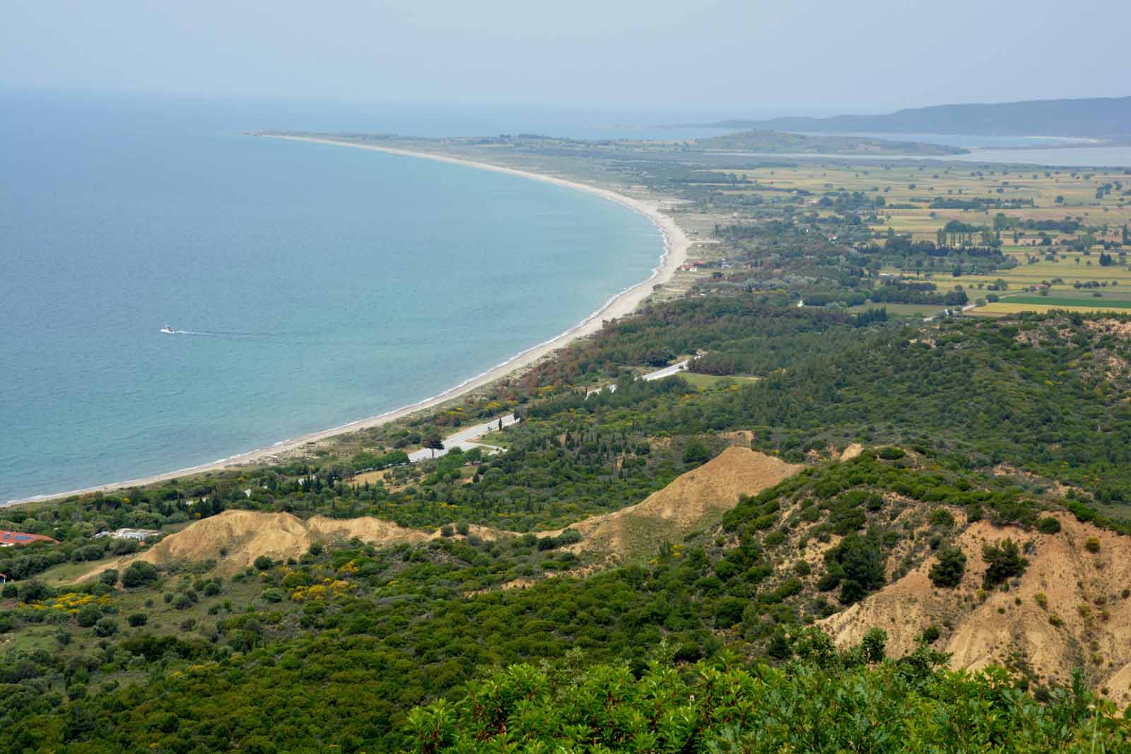
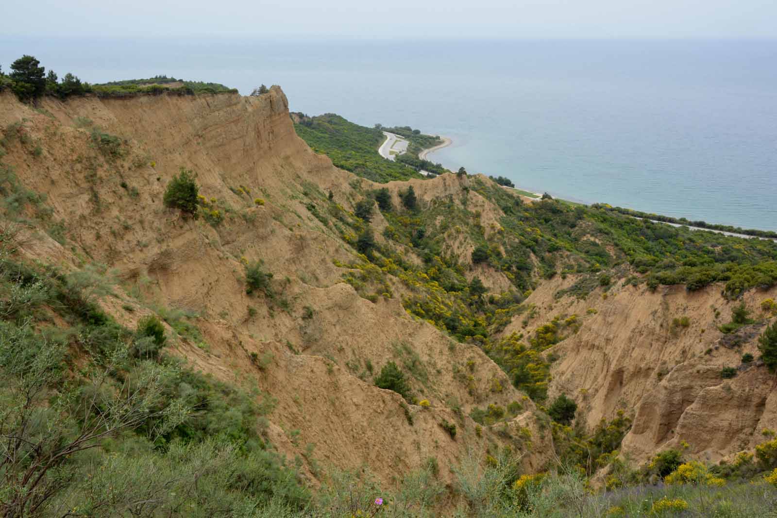
Anzac Cove - Ari BurnuOur first stop on the Gallipoli Peninsula, as it was for the ANZAC troops in 1915 was Ari Burnu - Anzac Cove. We were able to stand on the small beach, look out across the Aegean Sea full of shipping, and then turn inland to look up at the cliffs, dominated by the sharp peak named the Sphinx.
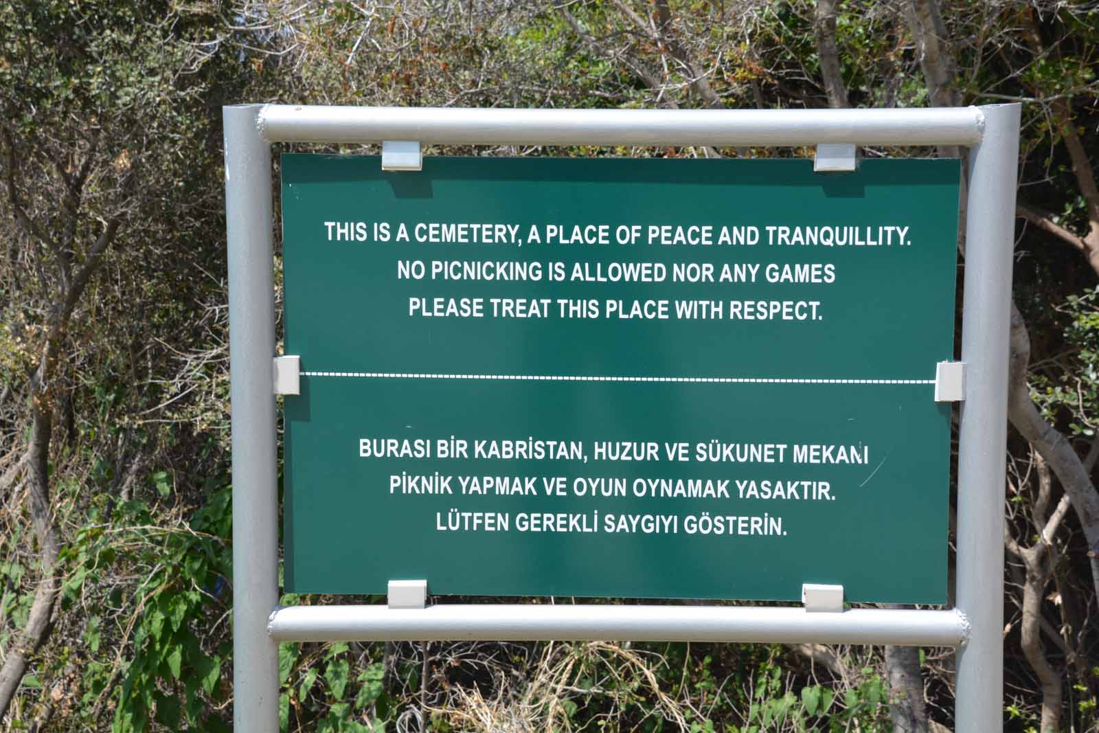
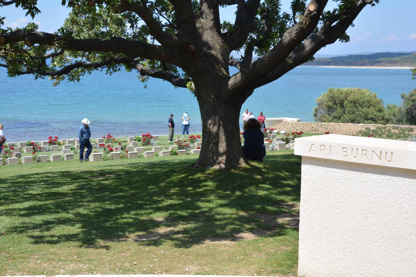
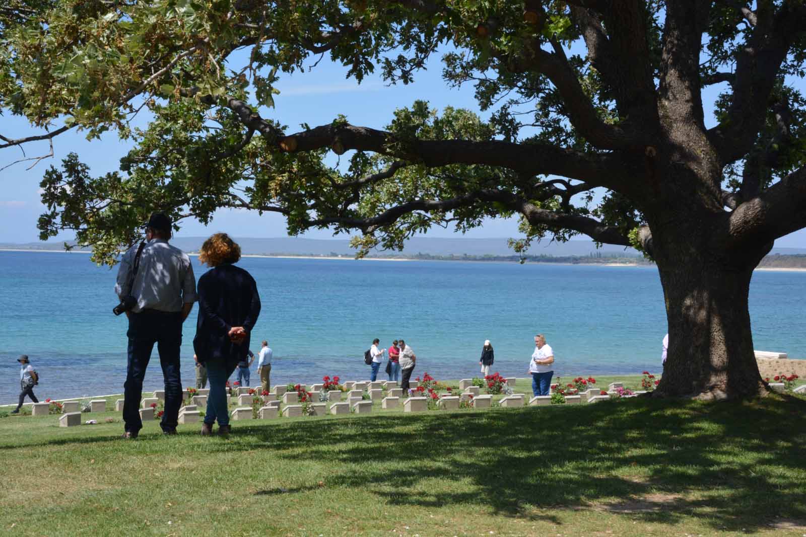
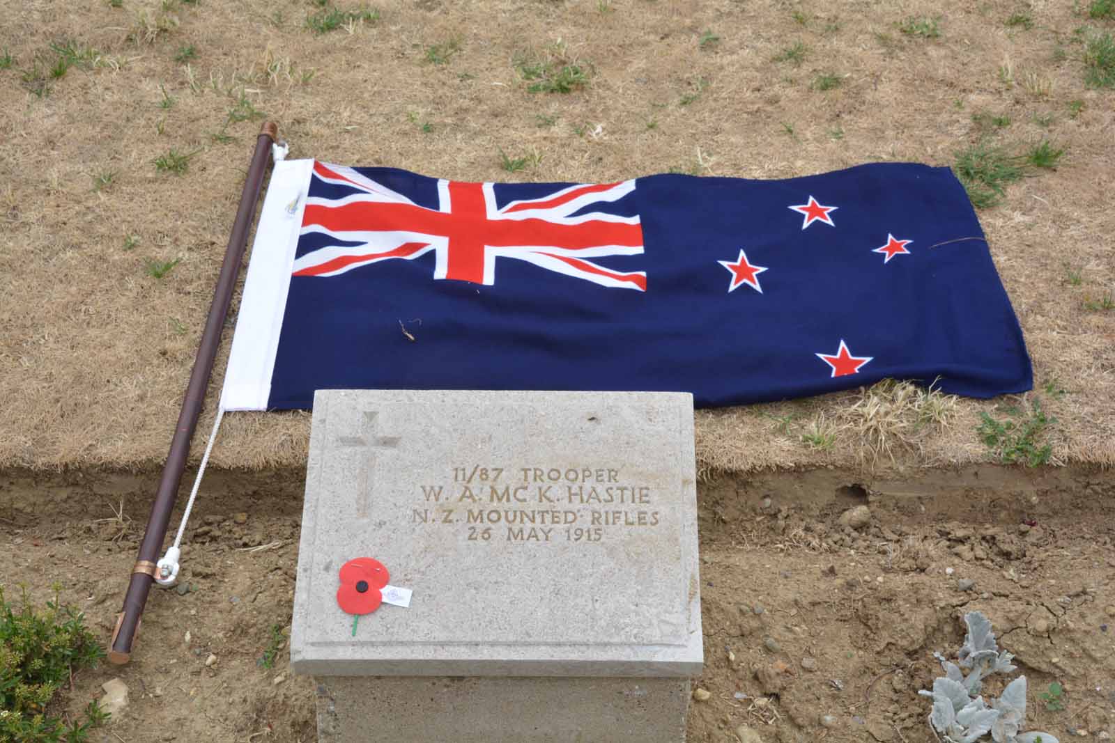
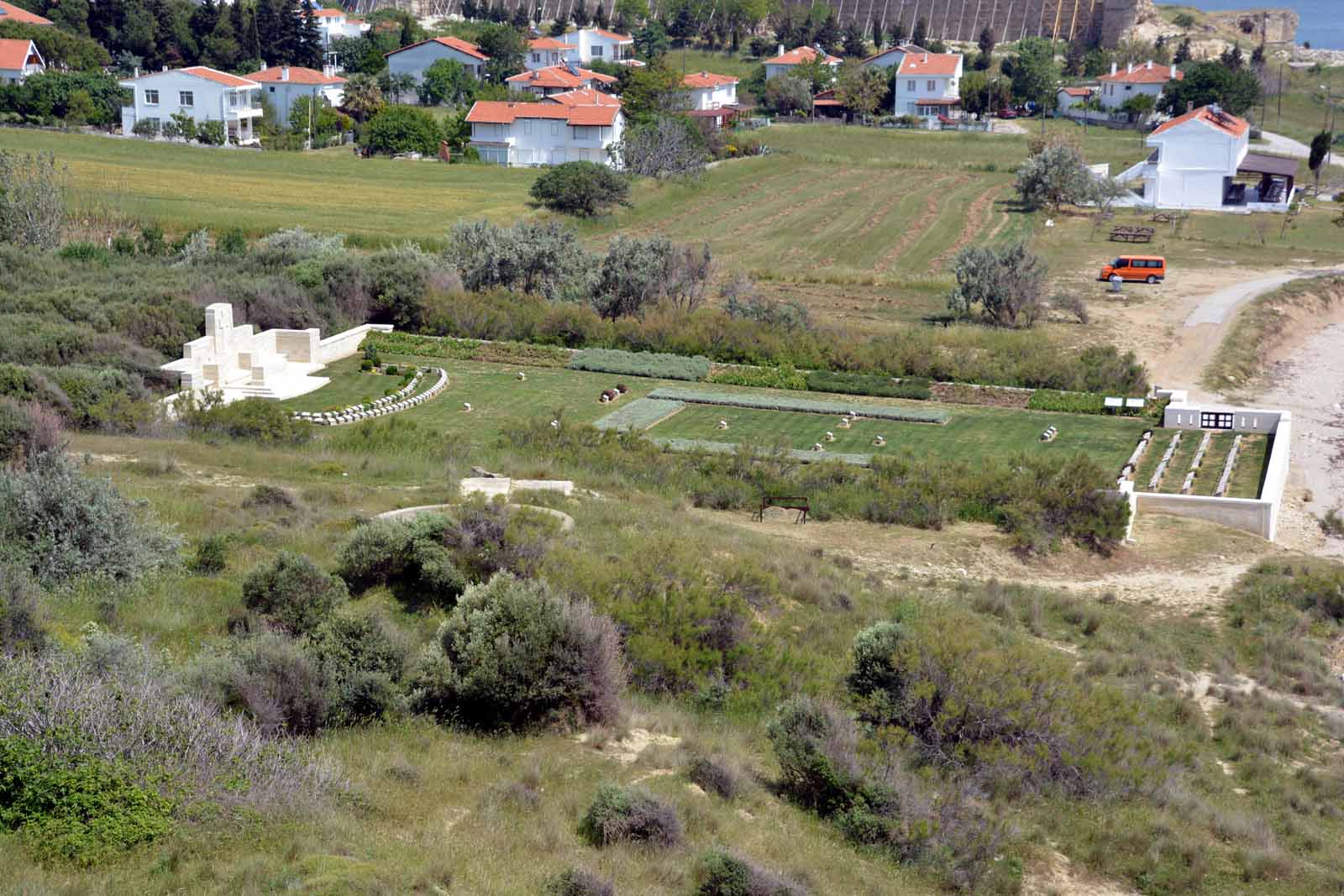
Ari Burnu CemeteryOn the small headland to the south of Anzac Cove lies the Ari Burnu Cemetery. It contains 210 casualties of which 34 are known to be New Zealanders.
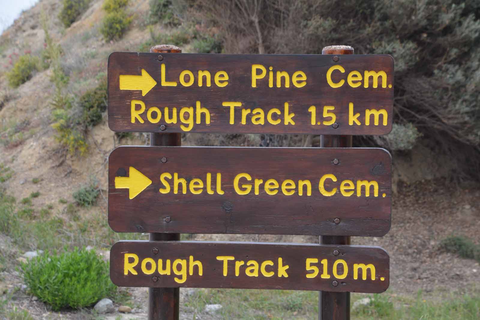
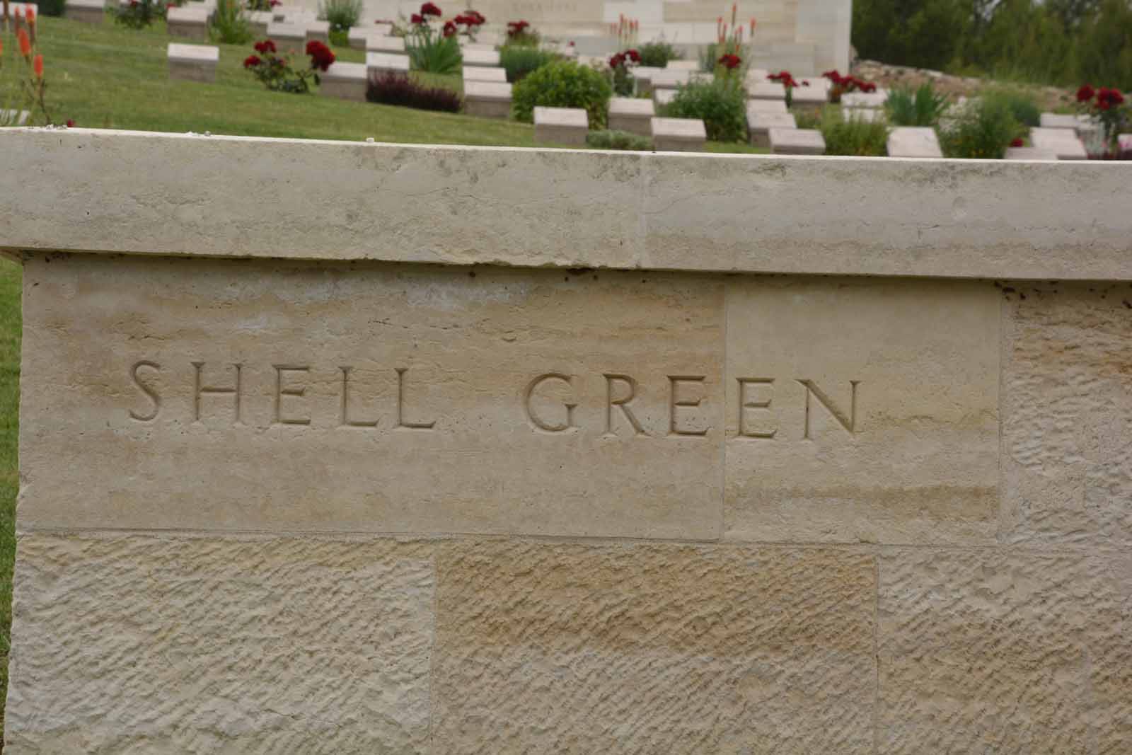
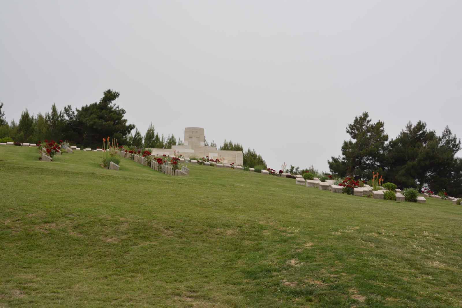
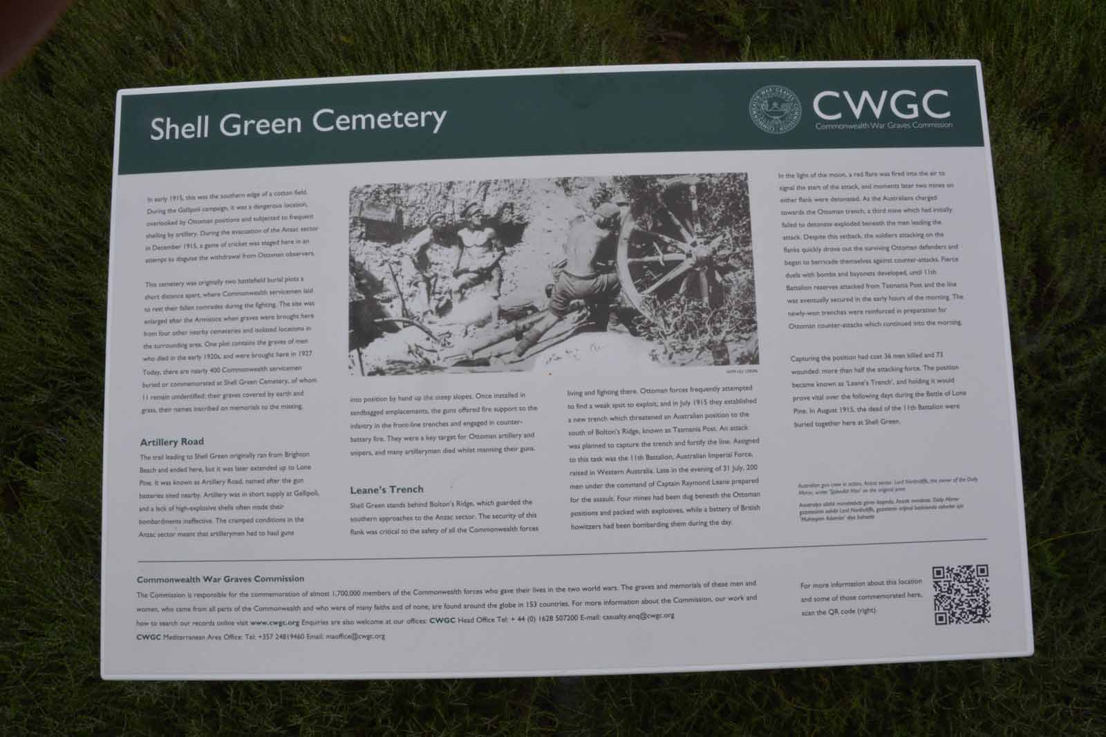
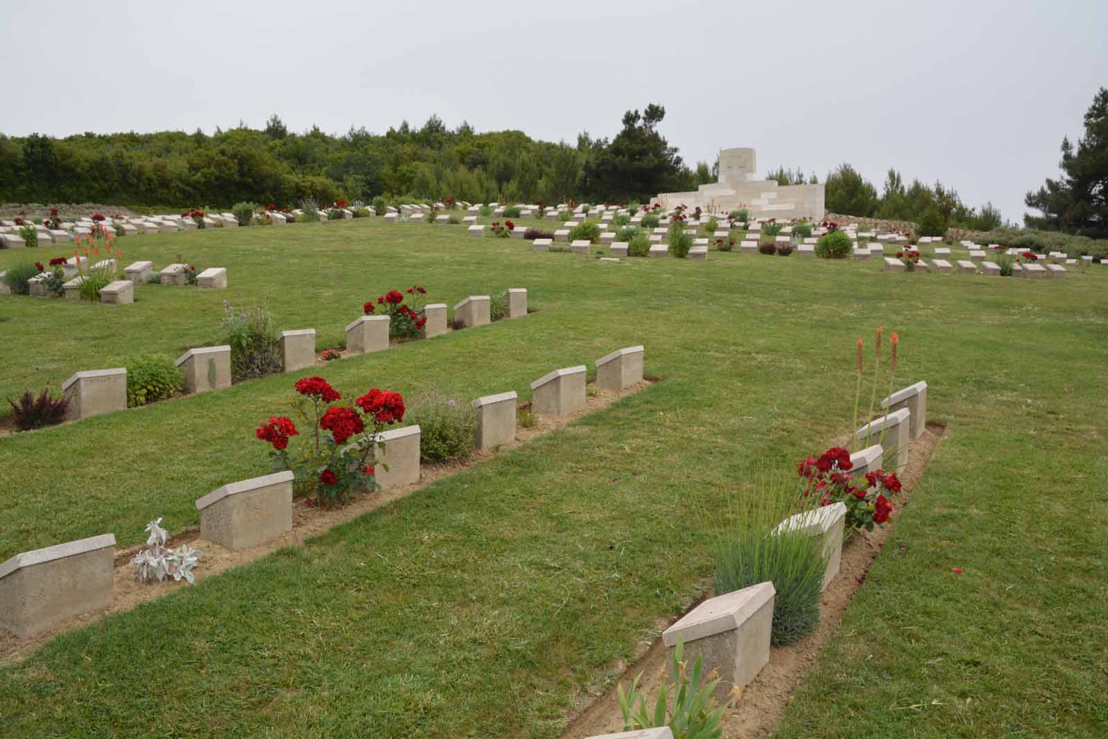
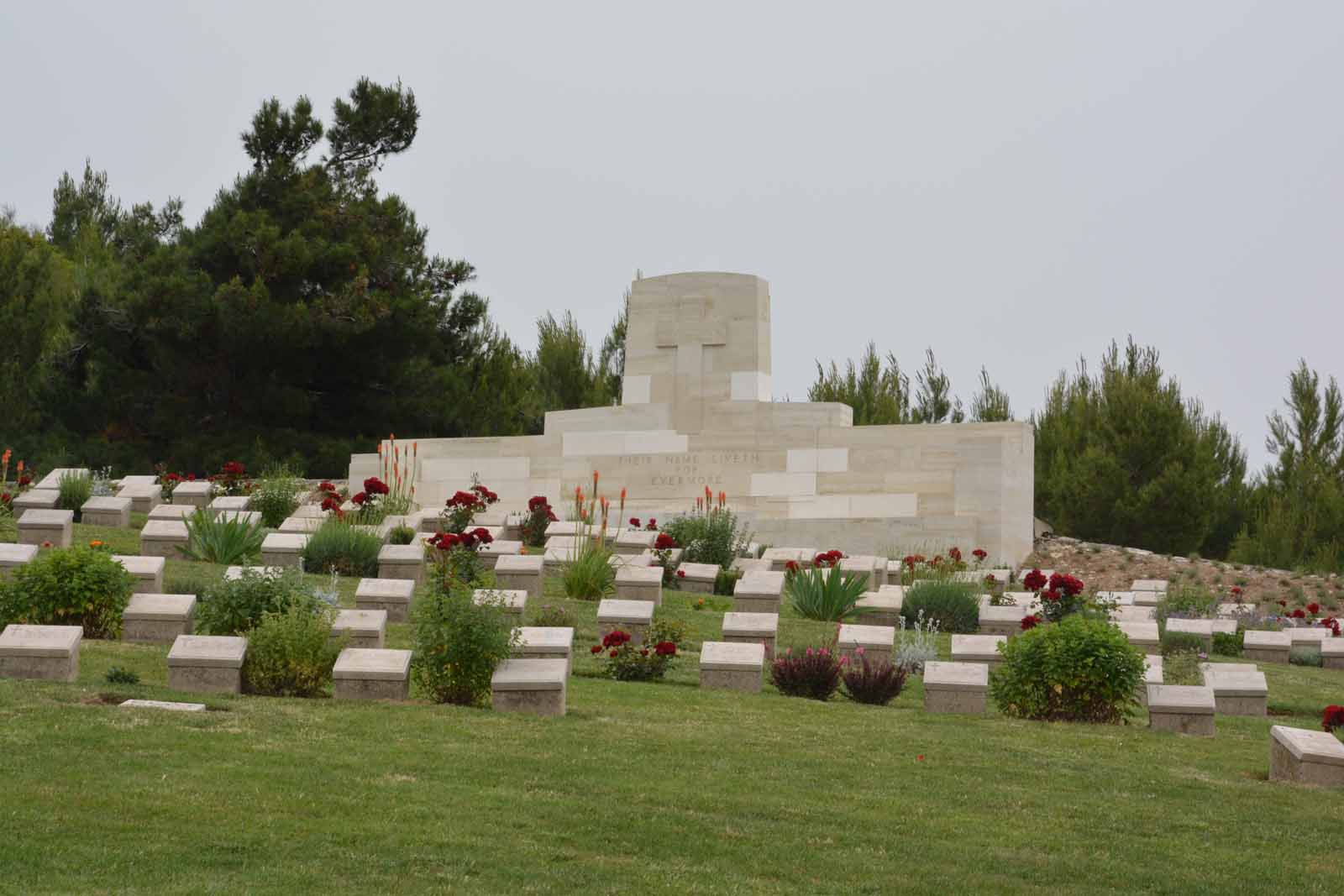
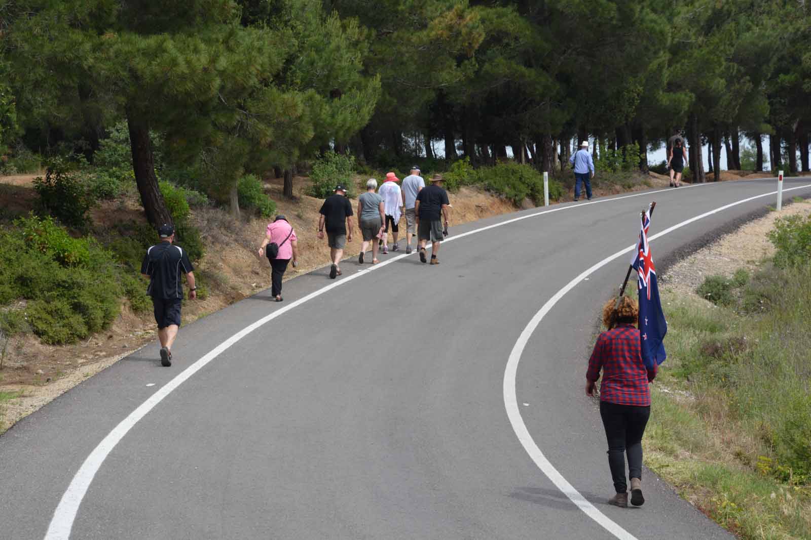
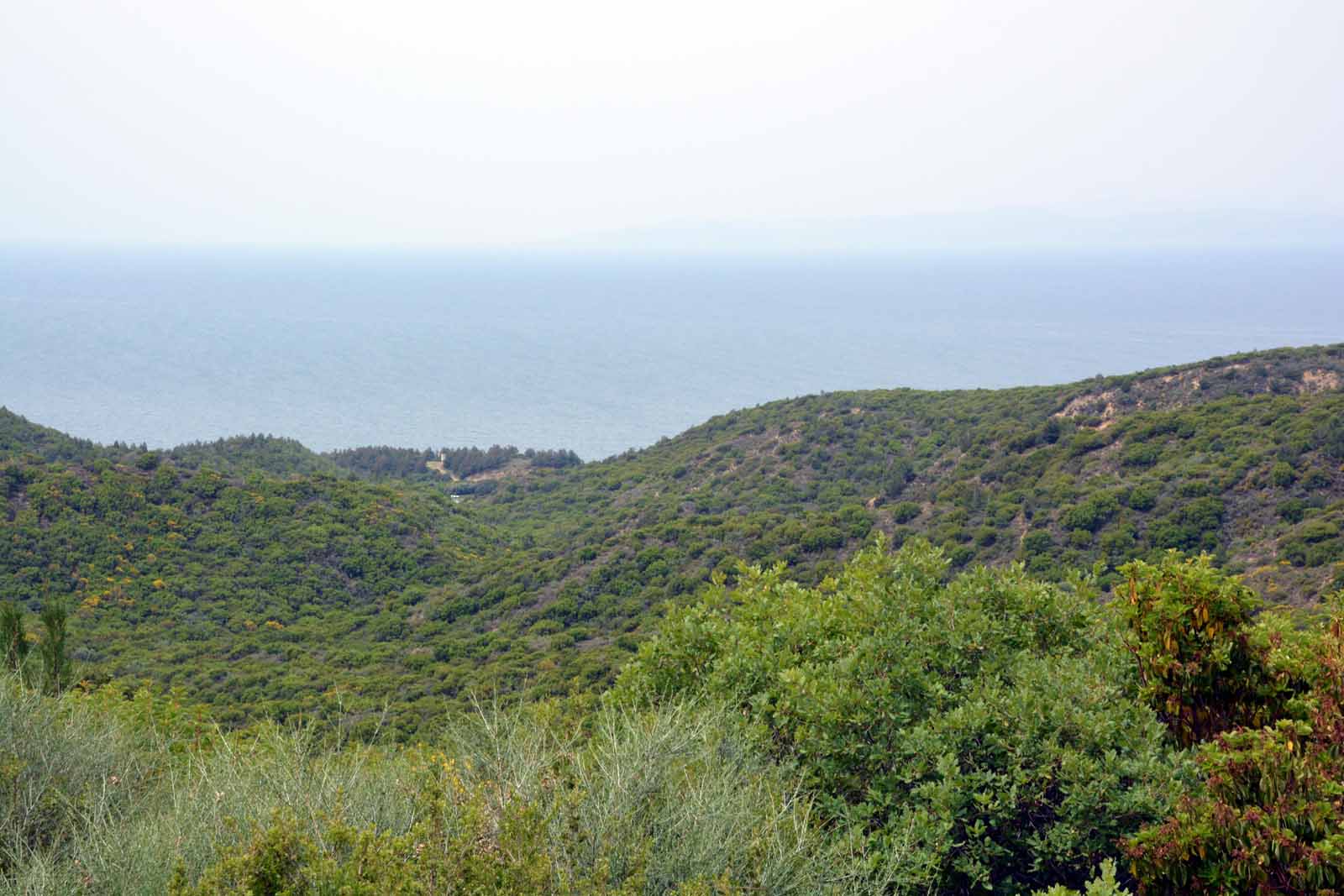
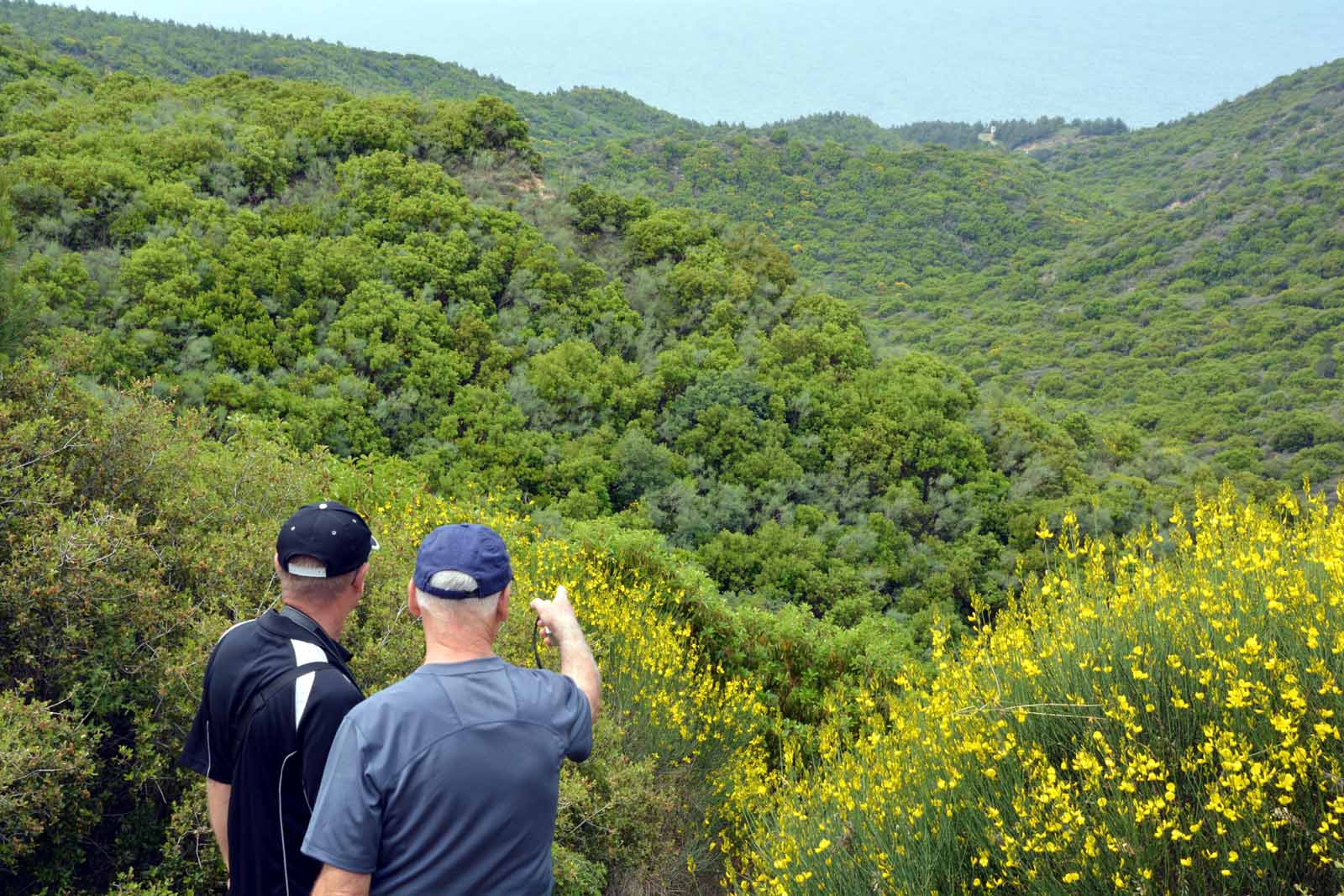
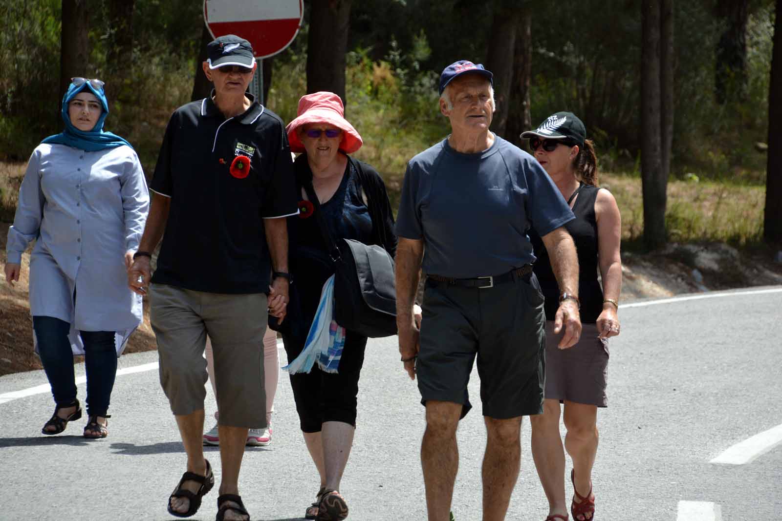
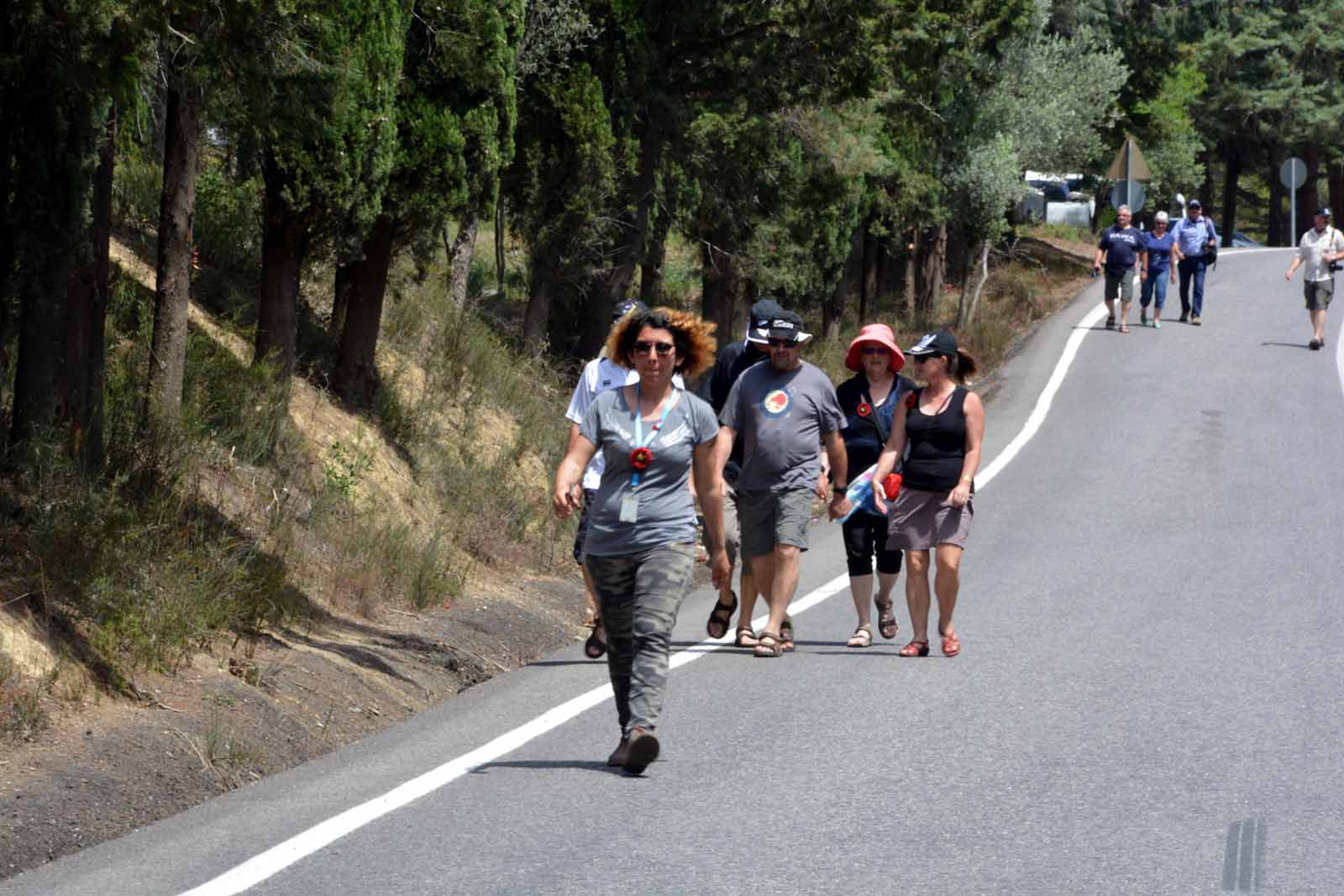
Walking track from Ari Burnu to Lone Pine via Shell GreenFrom the main road close to Ari Burnu, a formed track climbs steeply up the hill to reach Lone Pine at the top. Part way up lies Shell Green cemetery. This is the track that many of the visitors have to walk during the annual commenoration services on 25 April each year in order to reach the buses waiting for them at the top. It is a relatively steep climb but with a stop at Shell Green was not too strenuous.
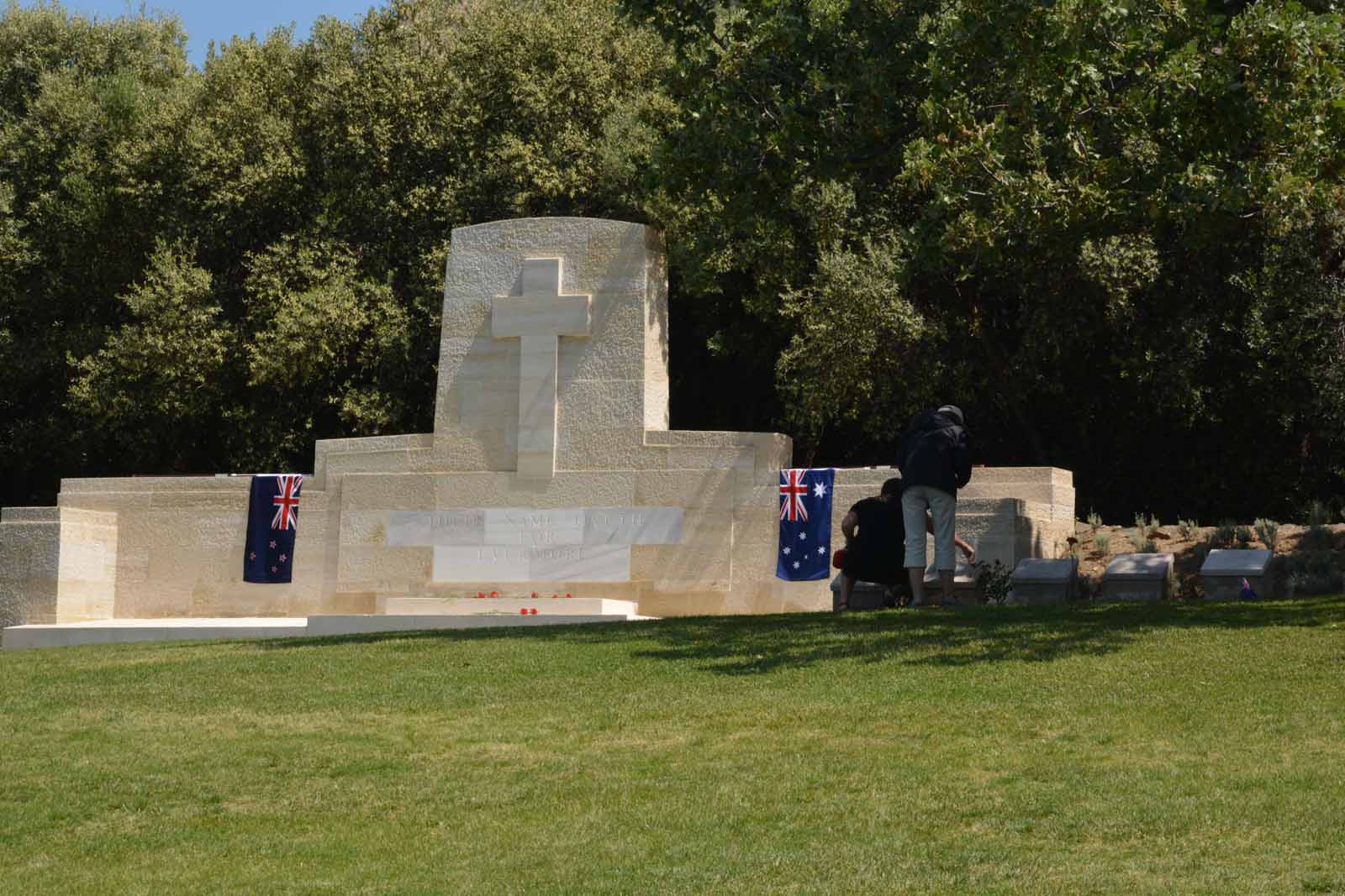
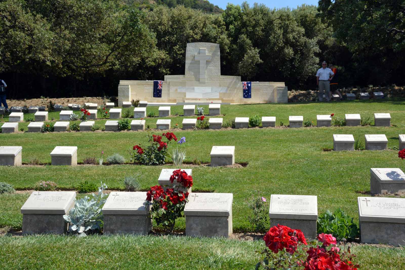
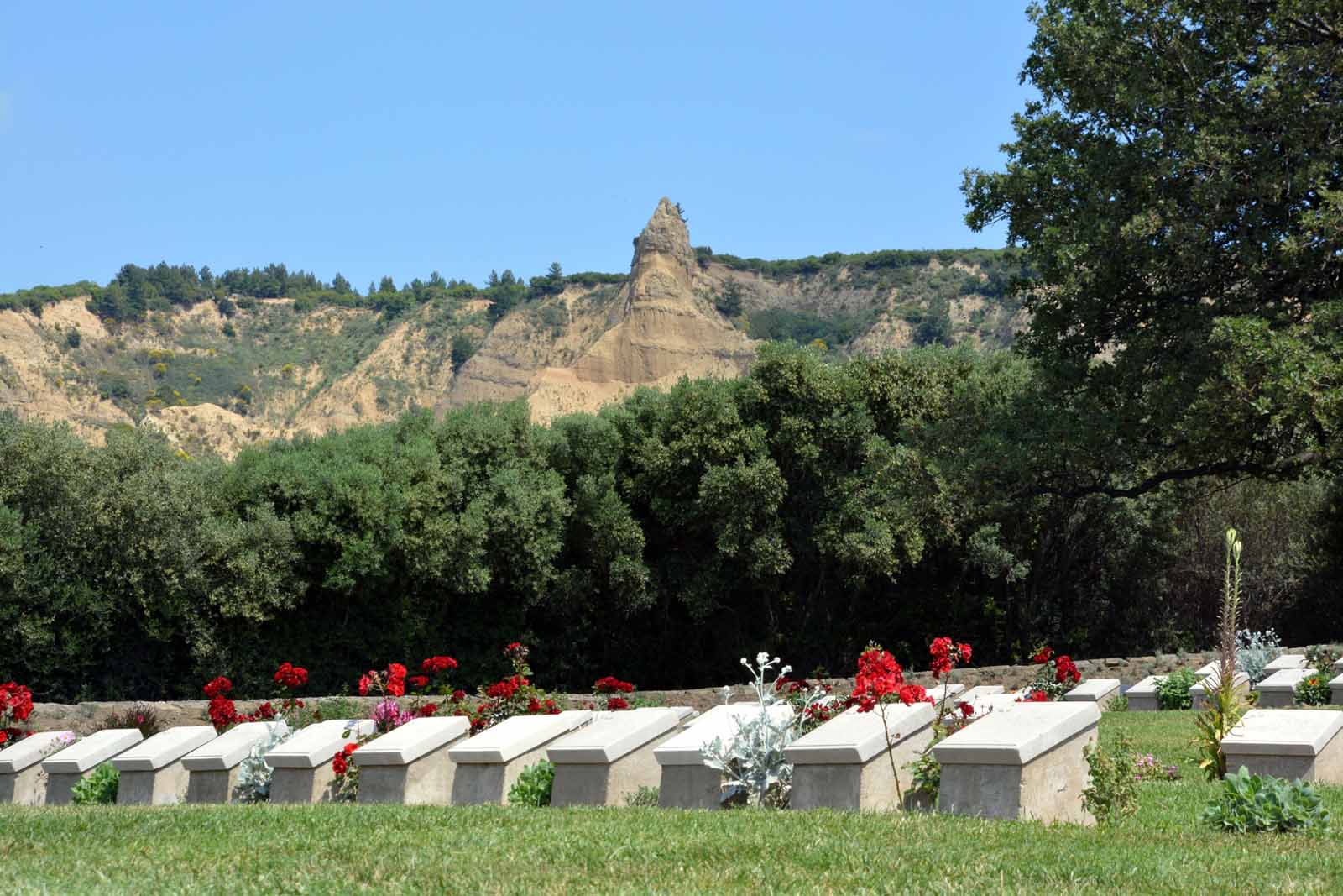
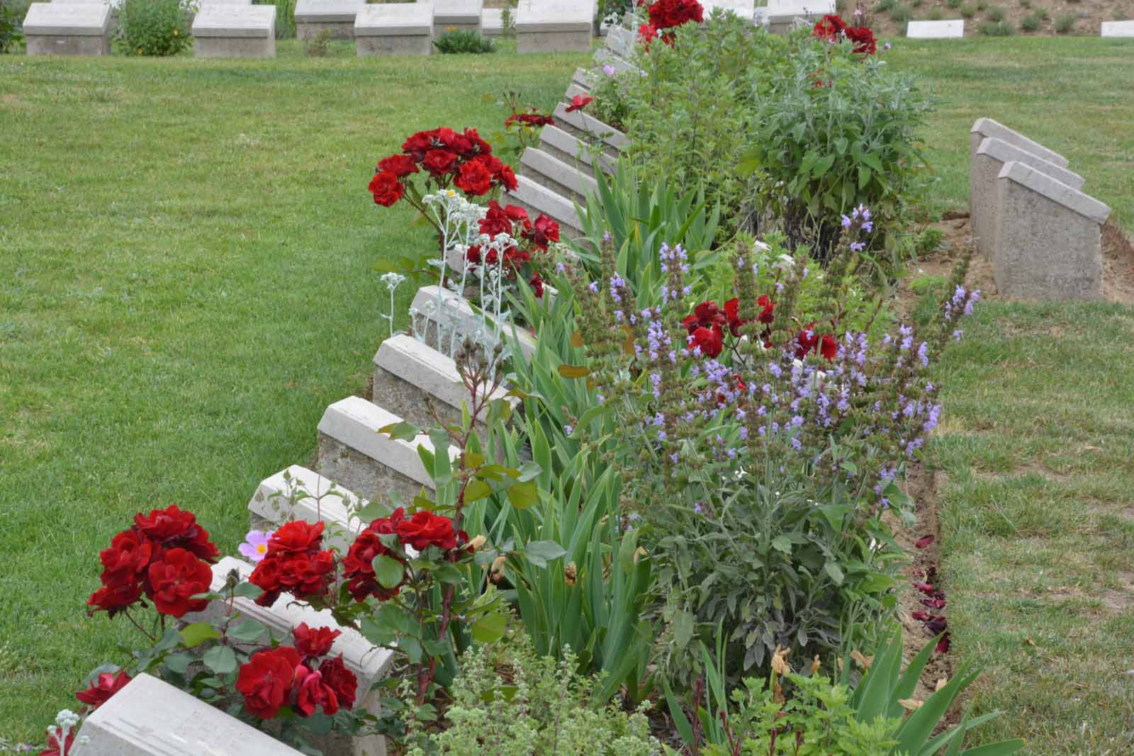
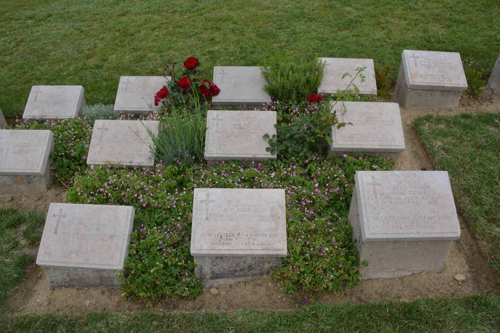
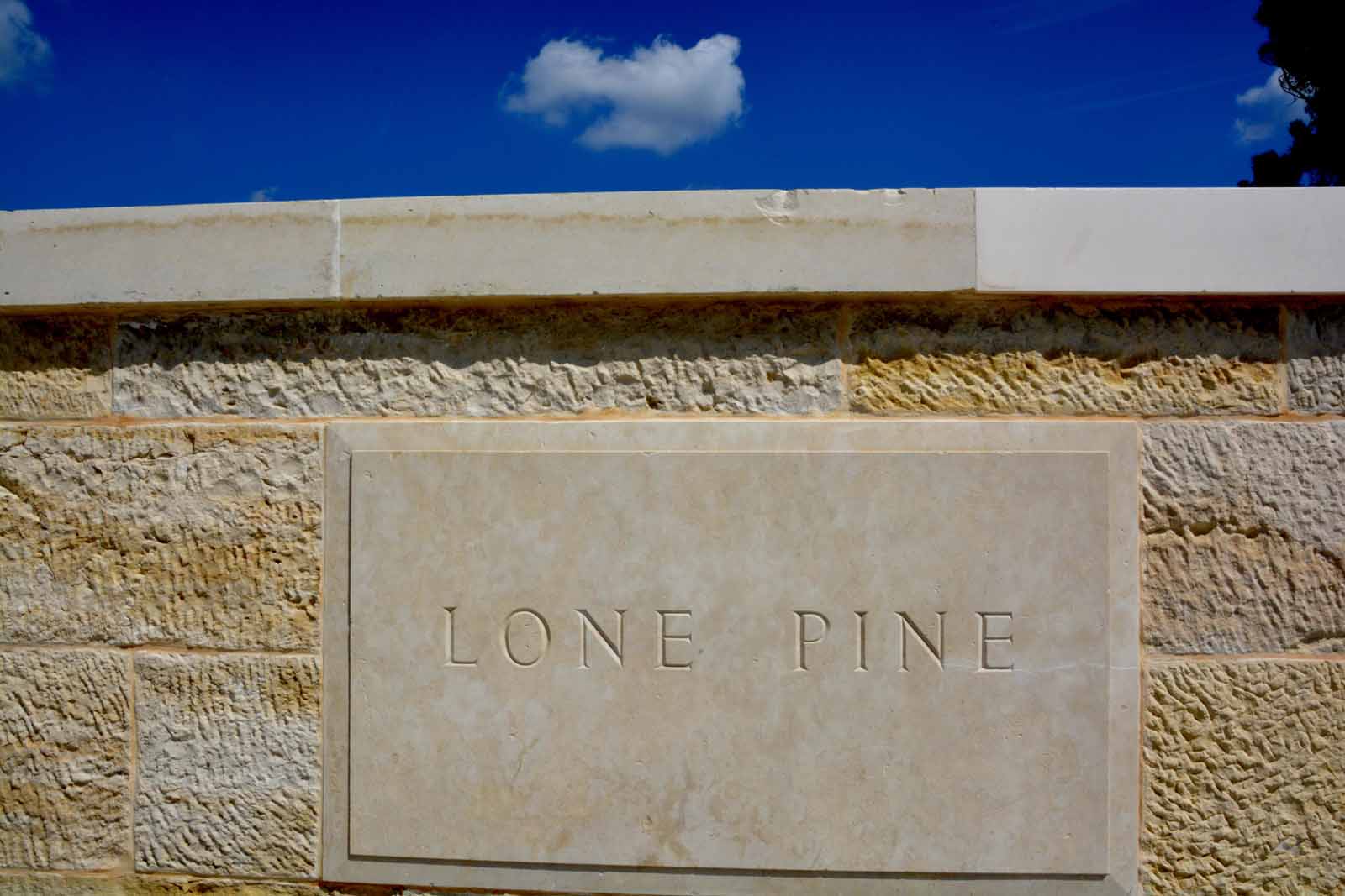
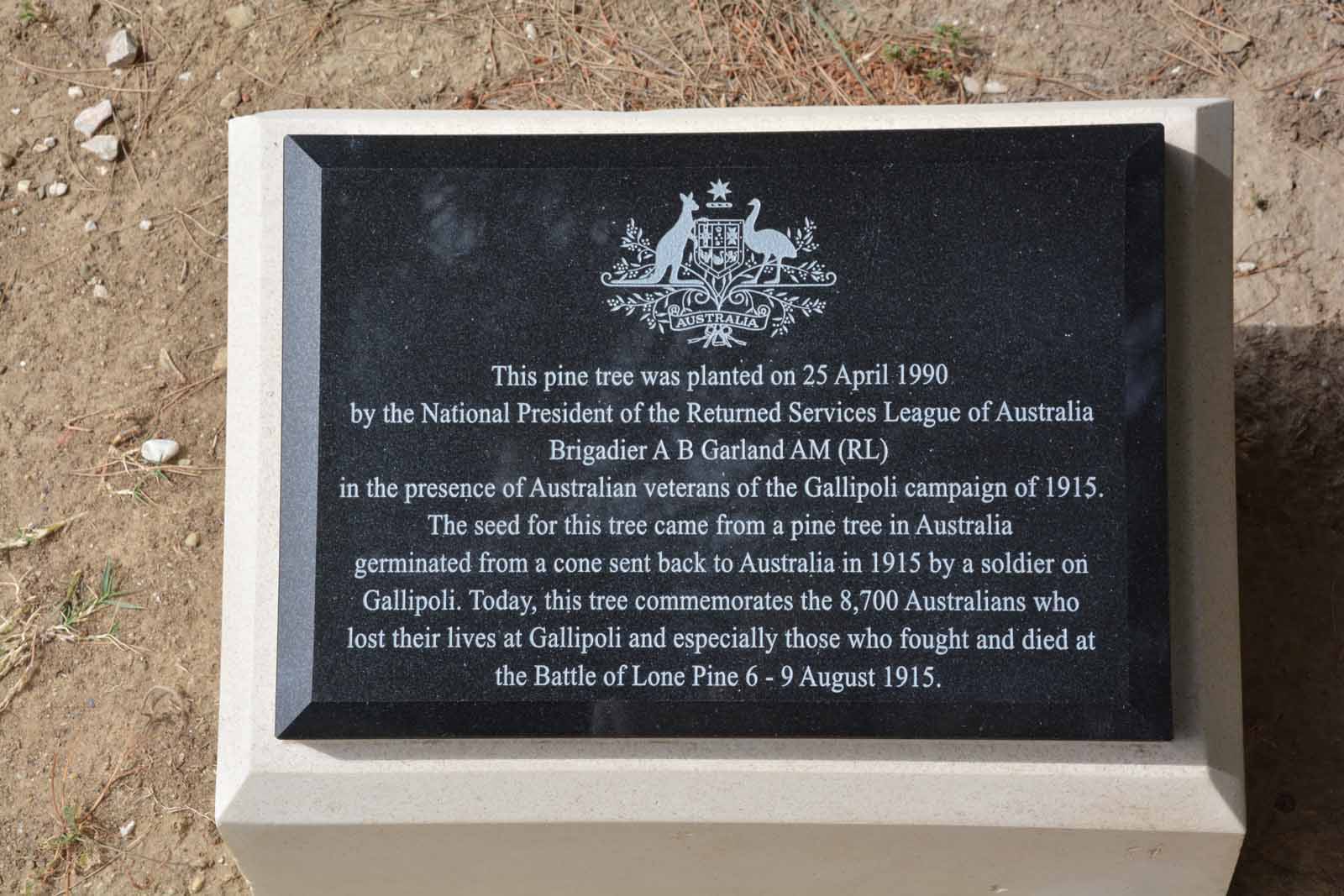
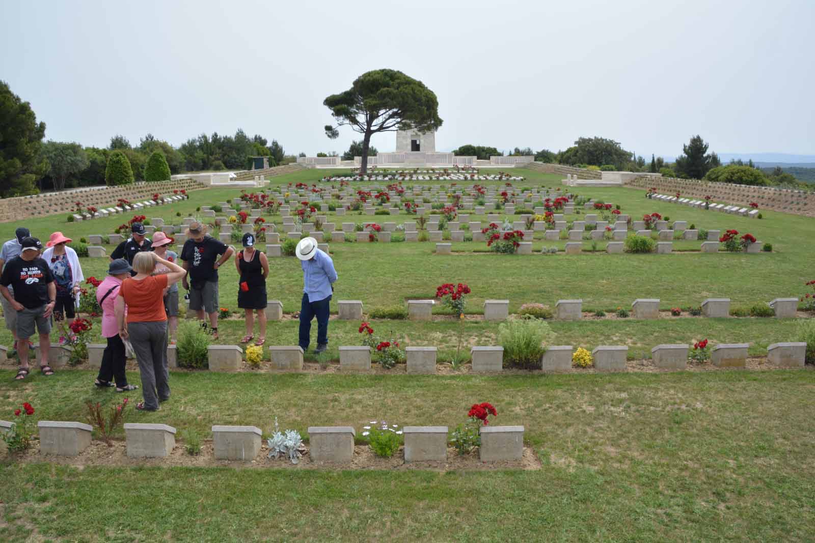
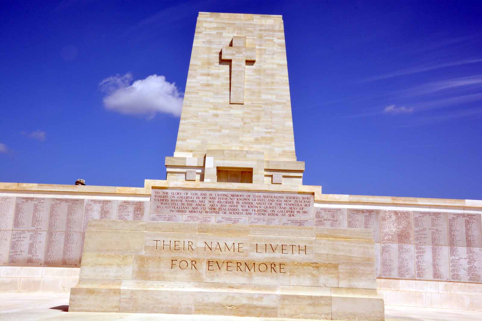
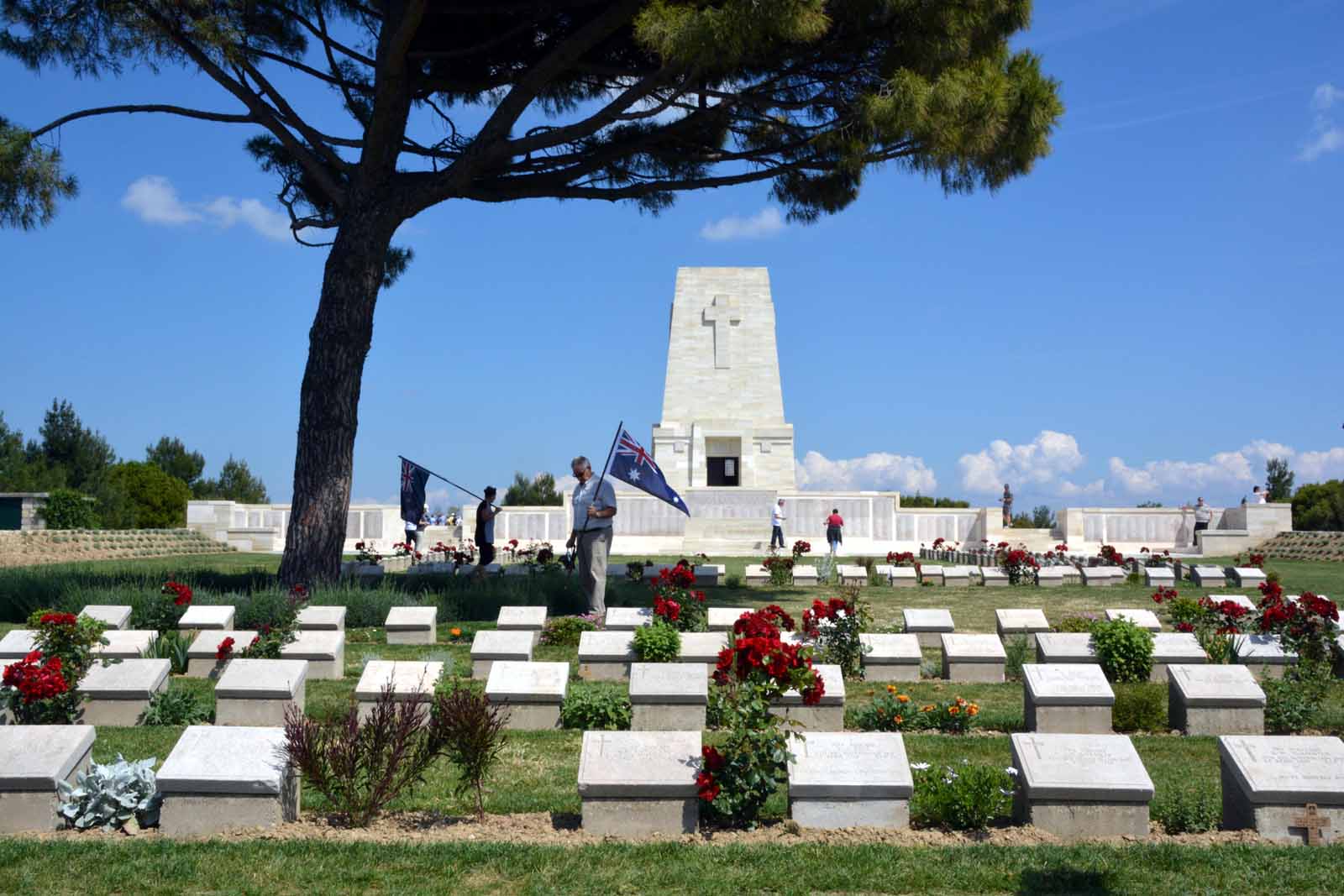
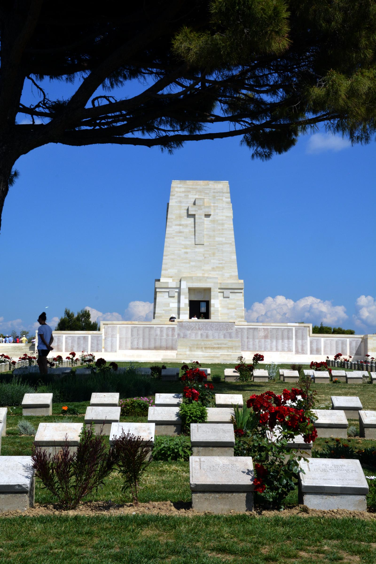
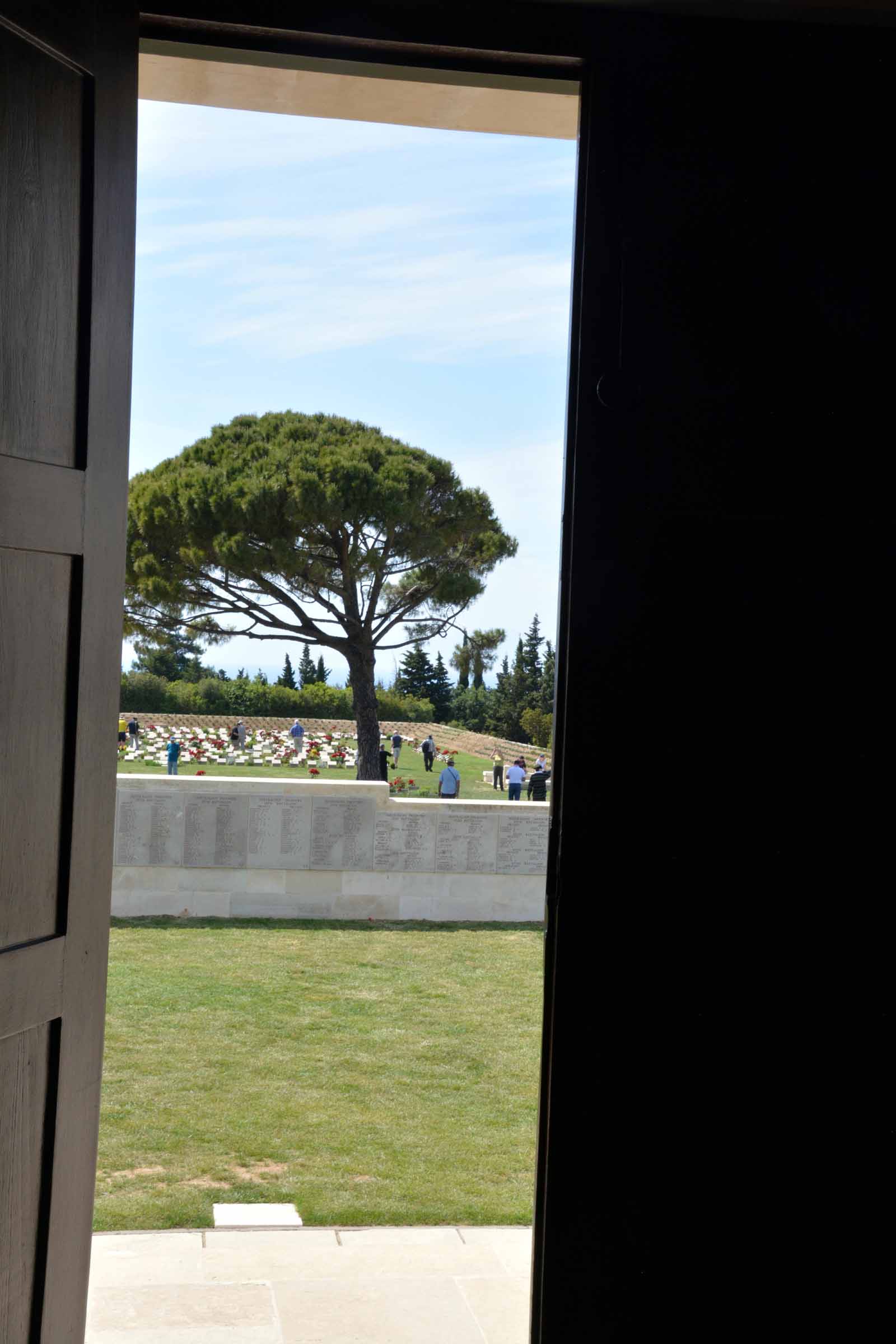
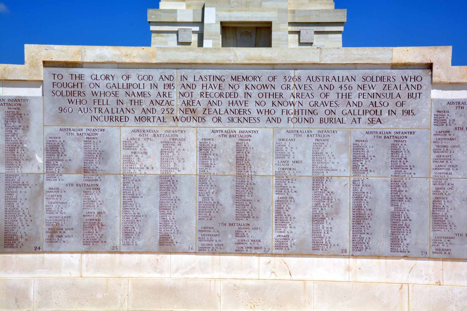
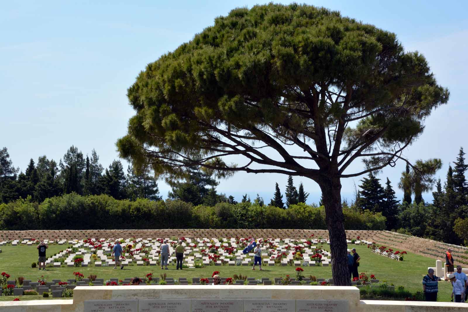
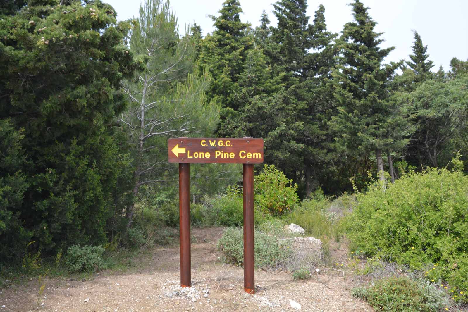
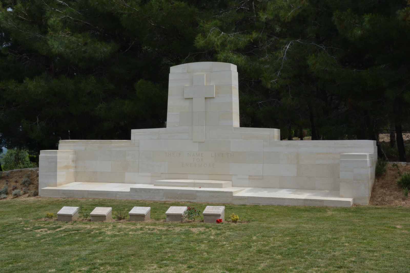
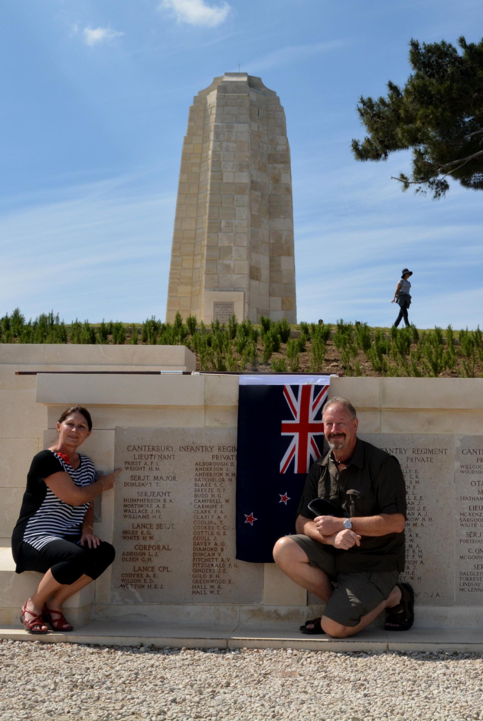
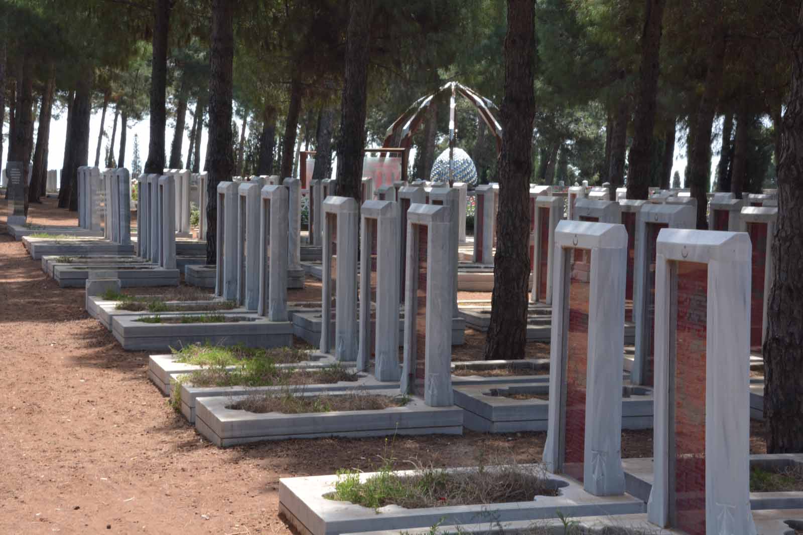
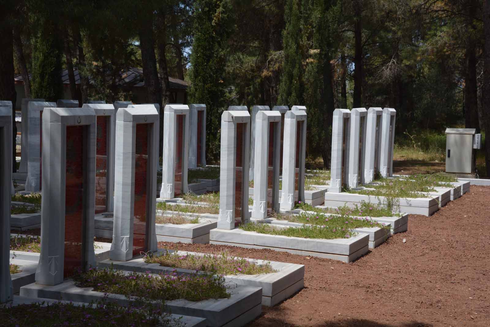
Lone Pine CemeteryLone Pine Cemetery lies at the crest of the peninsula. It is maintained by the Commonwealth War Graves Commission but is the main Australian cemetery on Gallipoli, although there are many New Zealand soldiers there as well. It is dominated by a tall memorial and a lone umbrella pine.
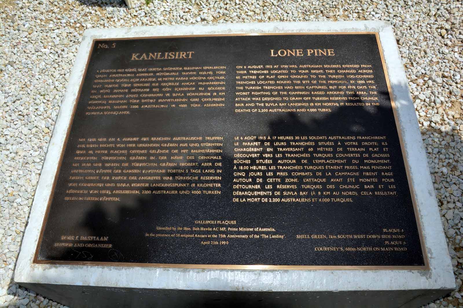
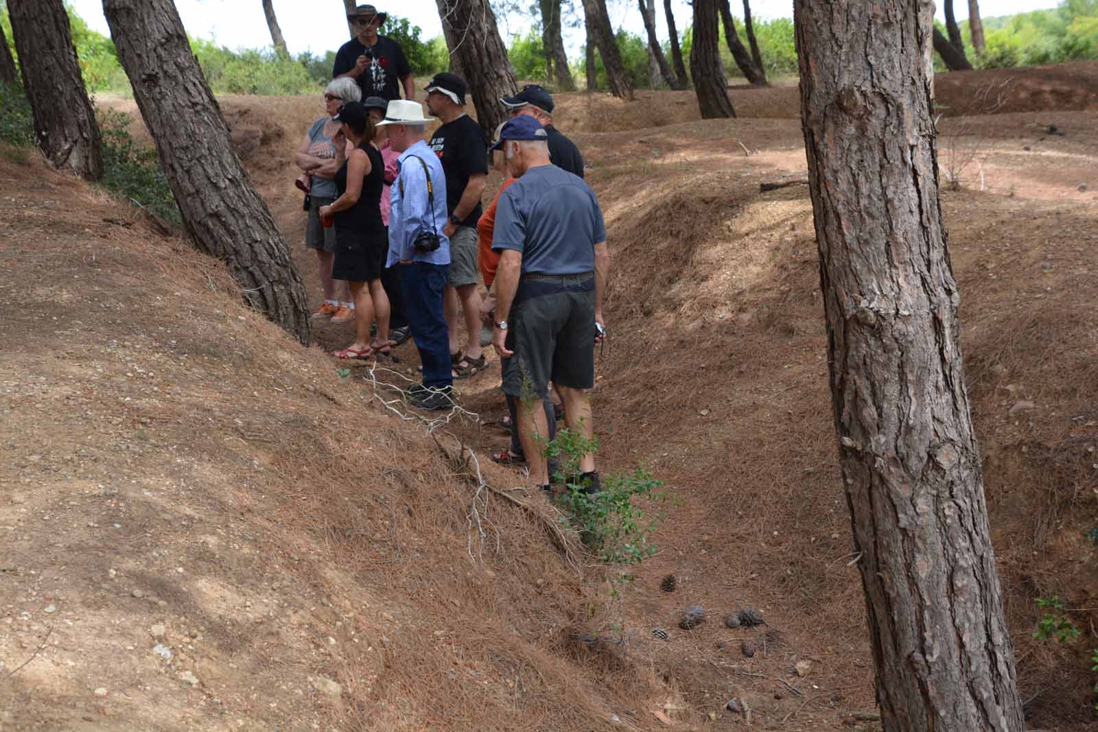
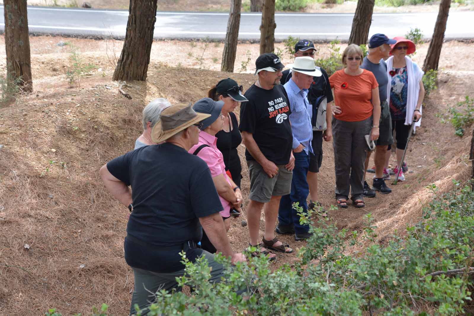
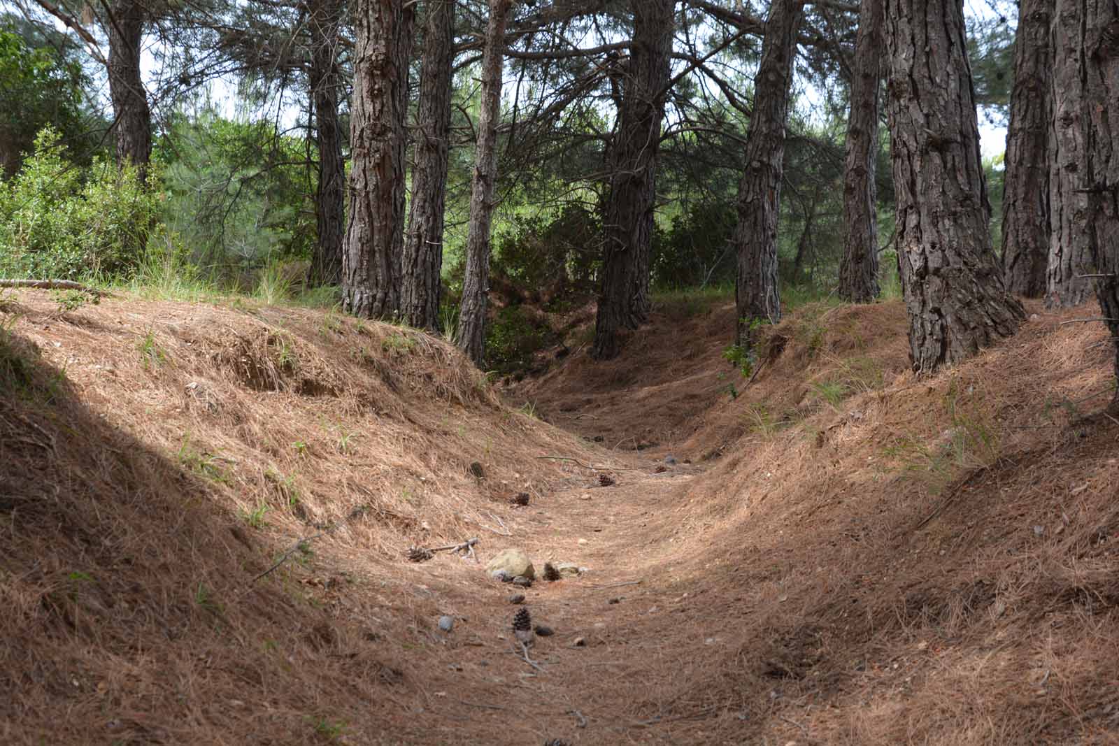
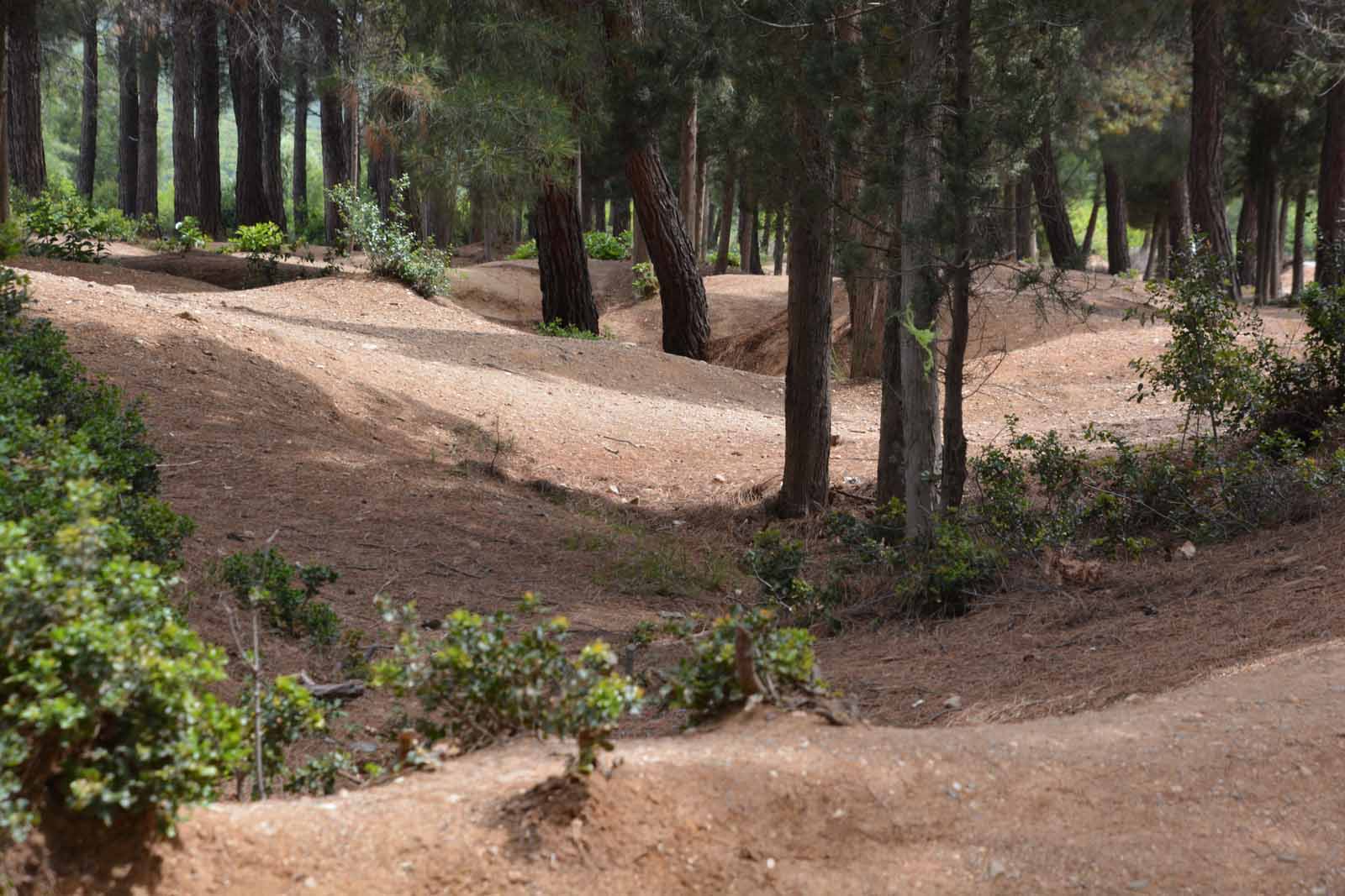
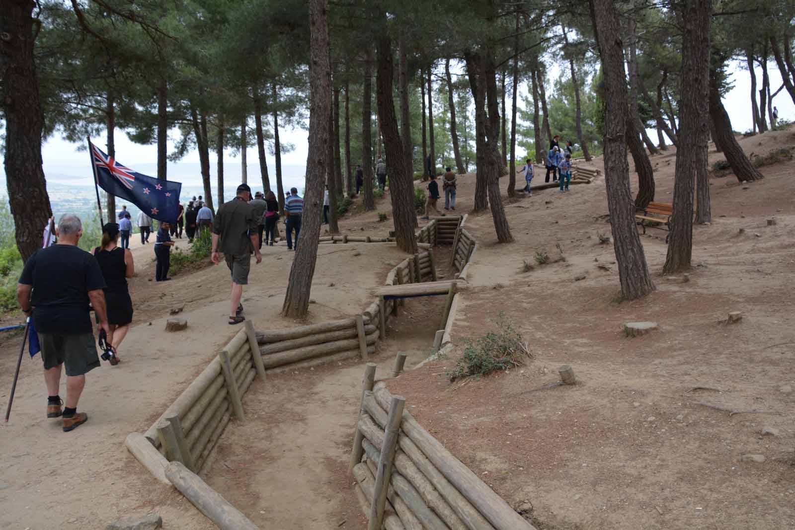
War trenches near Lone PineJust along the road from Lone Pine are the remains of some of the trench system dug by the Anzacs. The area is now being crowded out by young pine trees but the trenches are clearly visible.
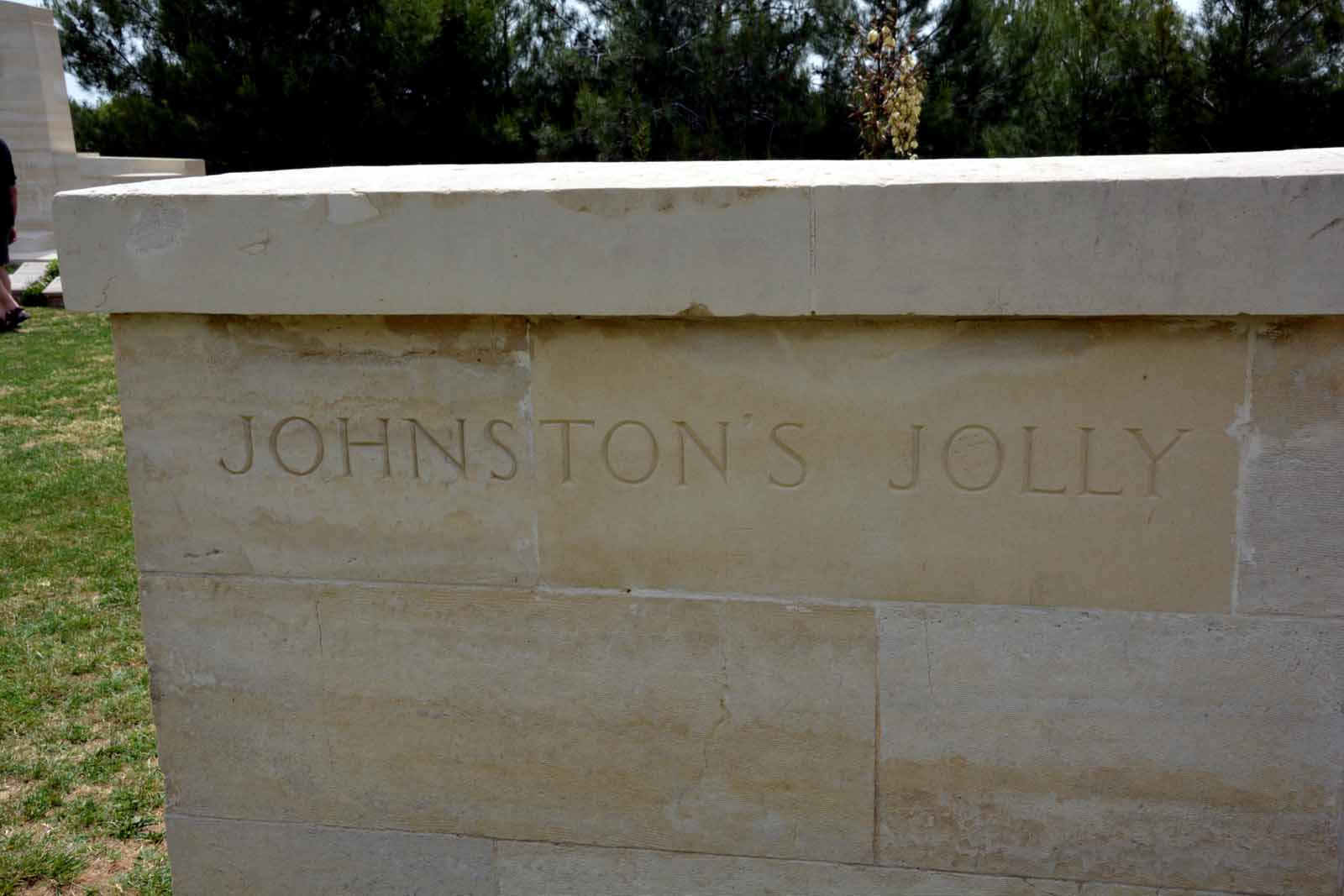
Johnston's Jolly, Quinn's Post, The Nek, Walker's Ridge and Chunuk BairJohnston's Jolly CemeteryJust over 100 metres north of Lone Pine lies the small Johnston's Jolly Cemetery containing 181 burials.
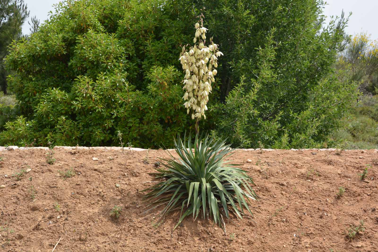
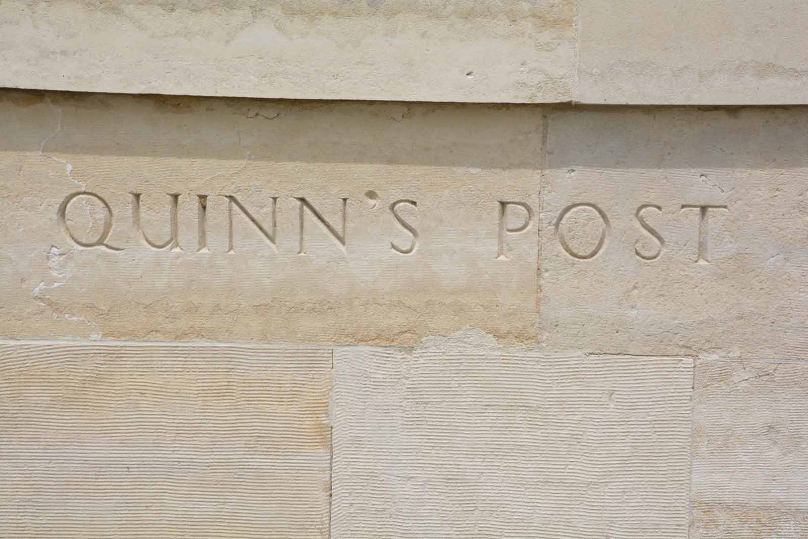
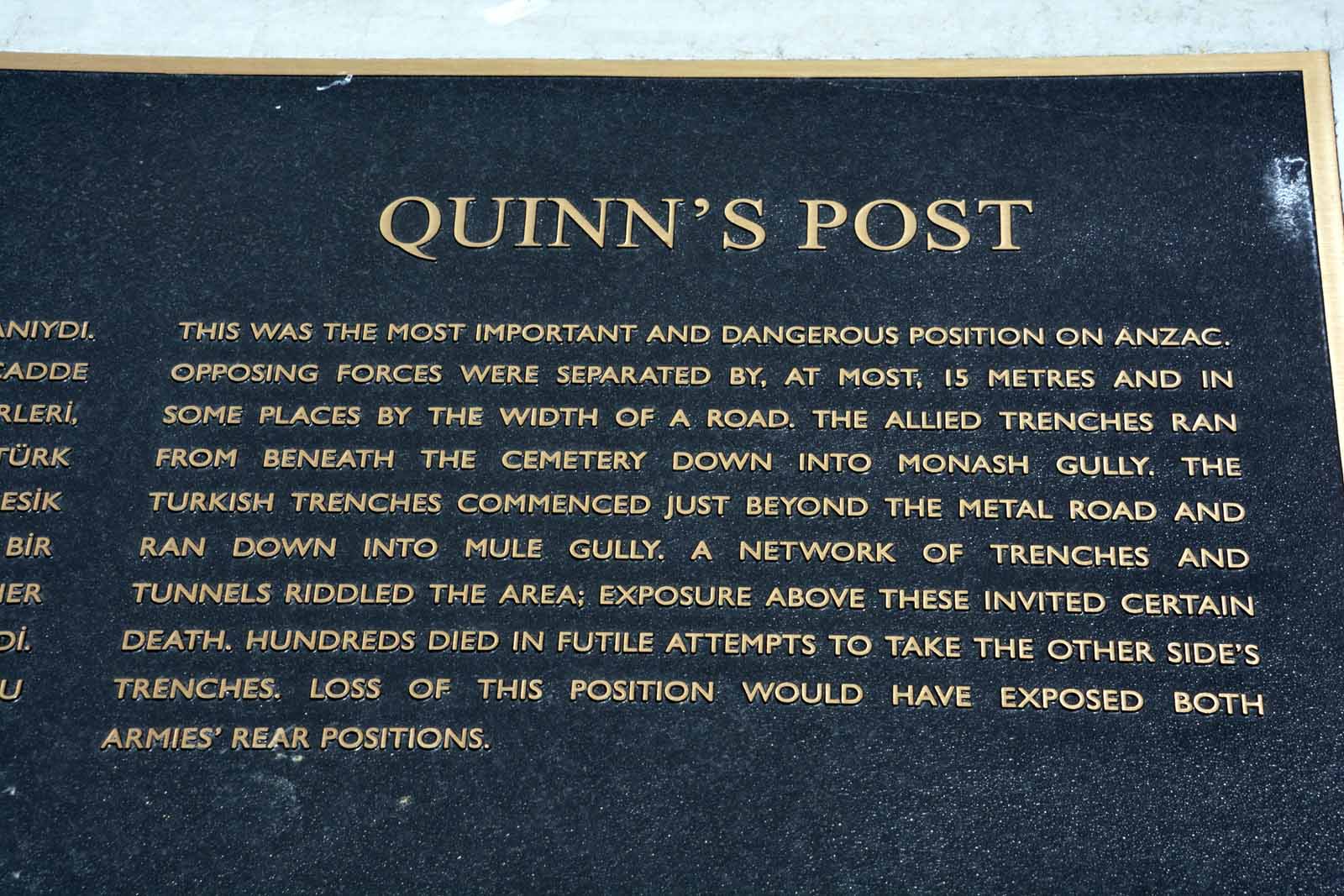
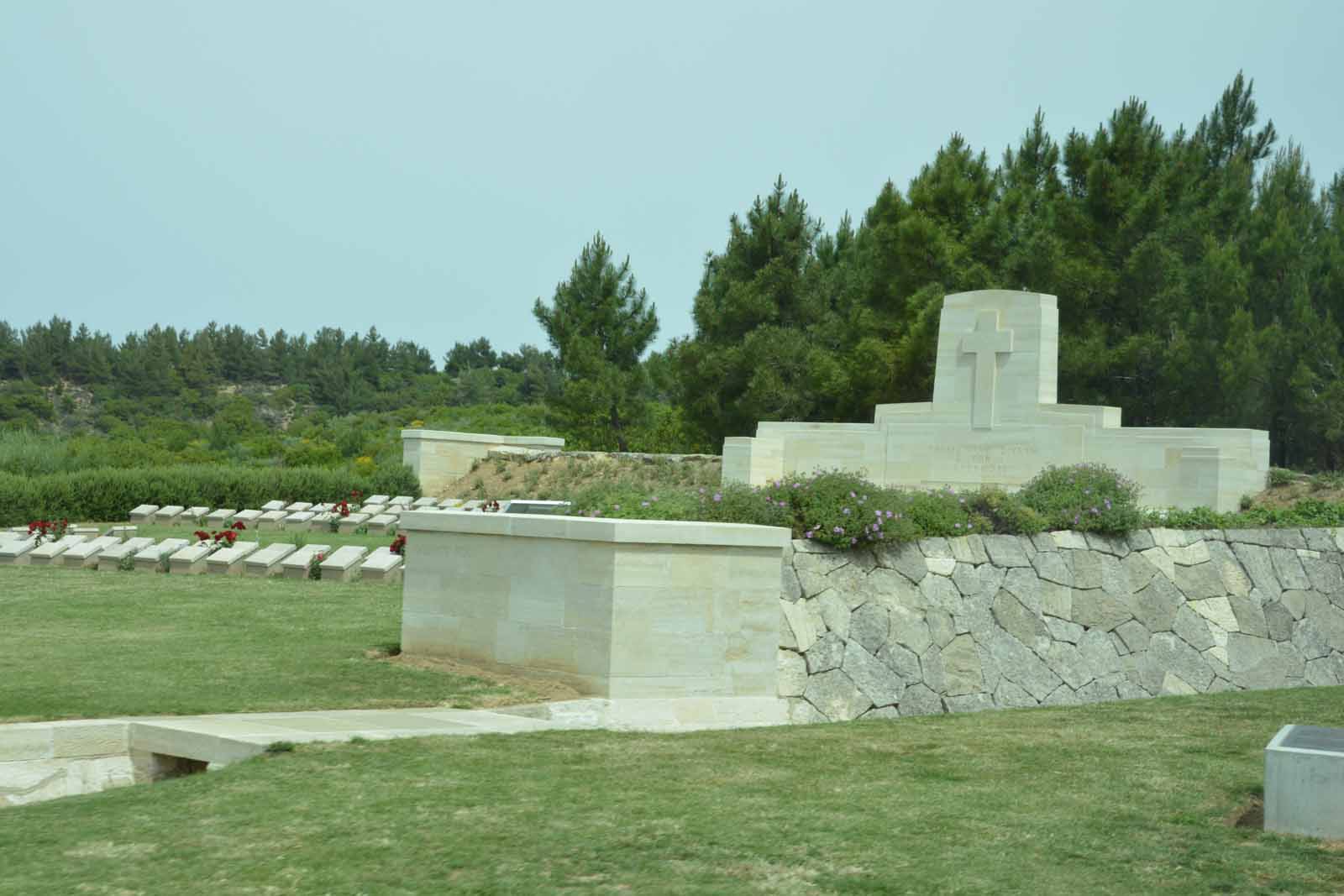
Quinn's PostA few hundred metres north of Lone Pine lies the Quinn's Post Cemetery. It contains 473 burials, of which 295 are named Australians and 13 are new Zealanders. Theremainder are unknown.
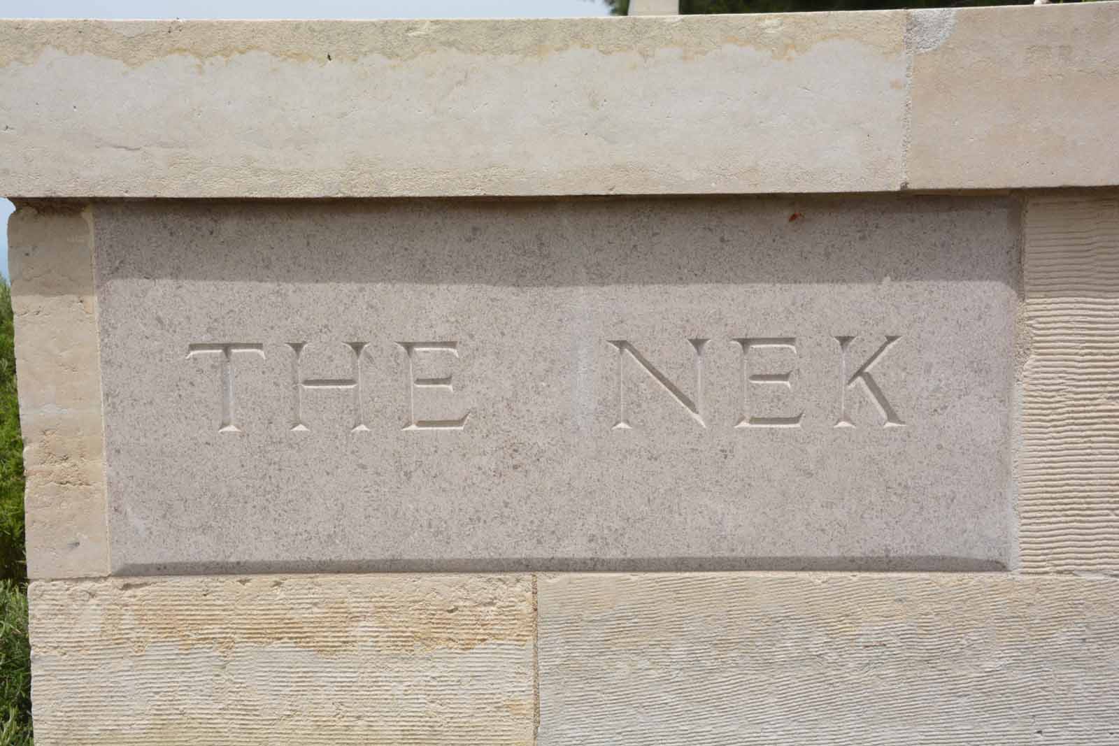
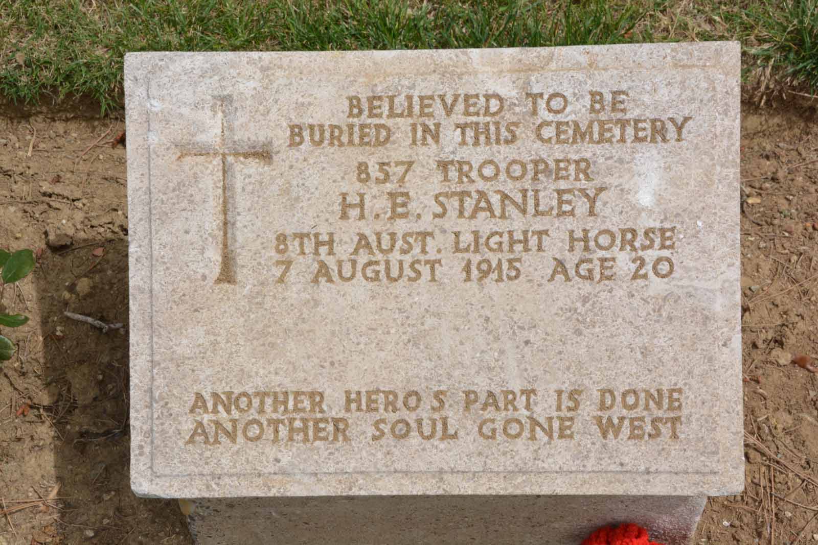
The NekJuast below the top of the main ridge lies The Nek Cemetery.
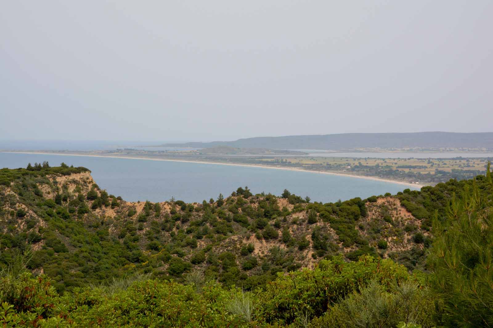
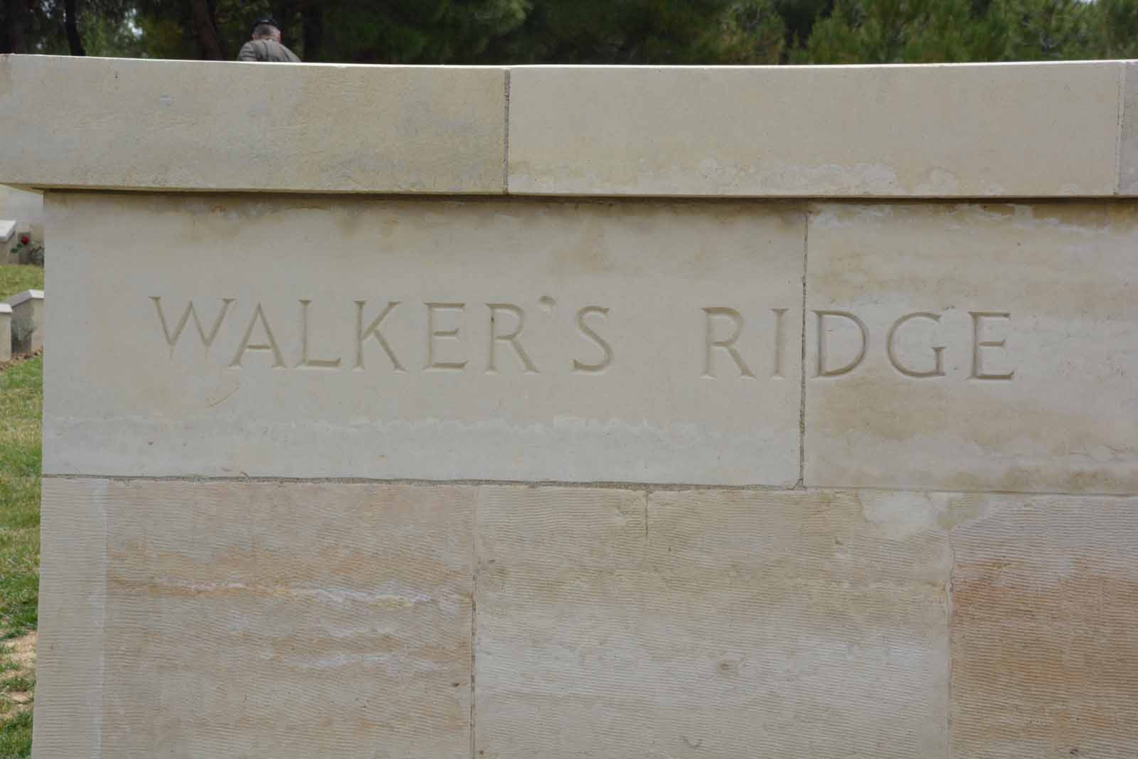
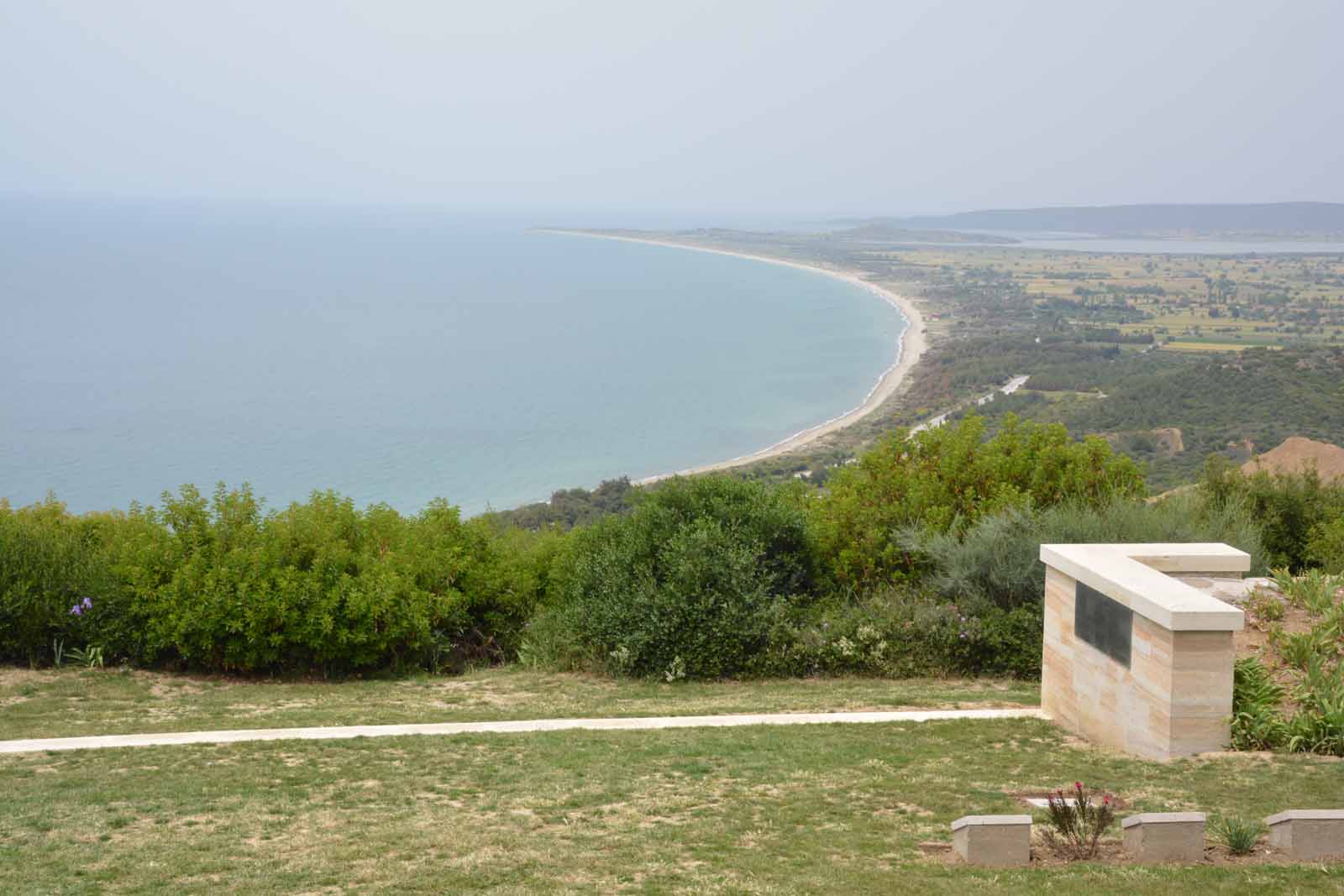
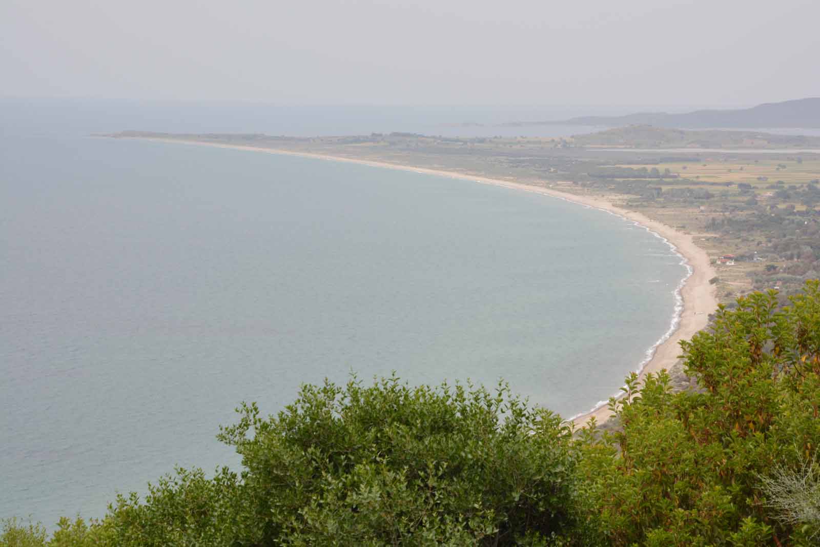
Walker's Ridge CemeteryWalker's Ridge Cemetery lies further south-west down the ridge from The Nek and at the top of the steep gully that drops down to Anzac Cove. It commands a wide view of the coast.
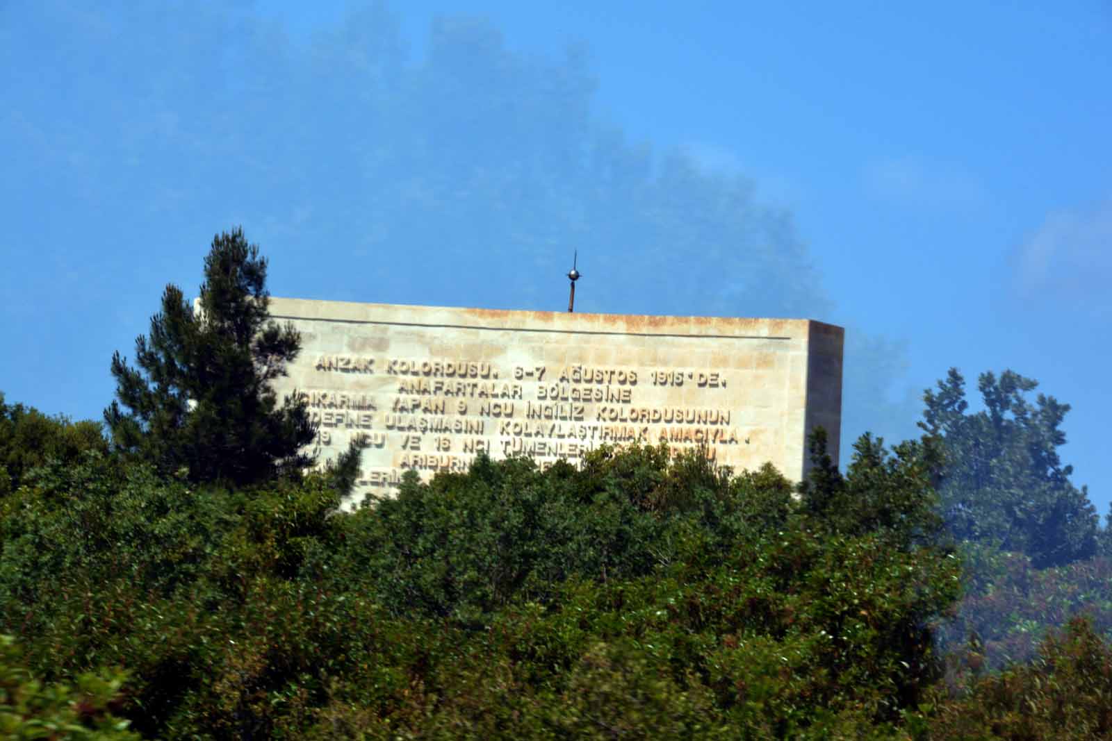
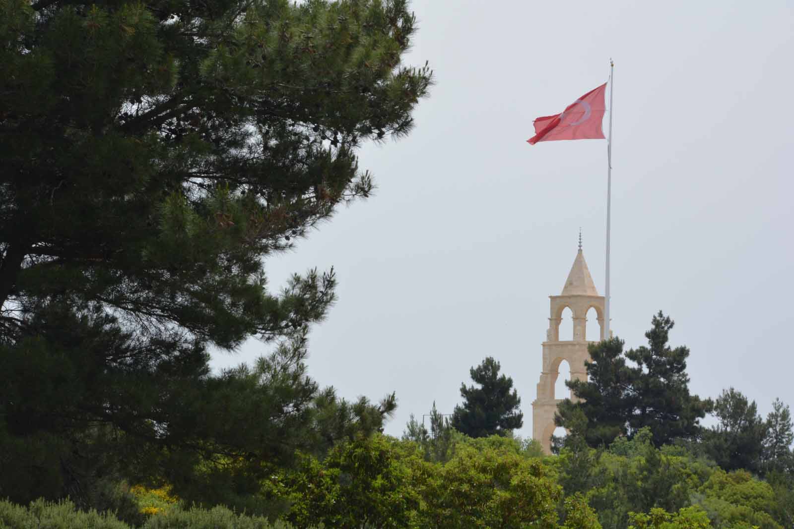
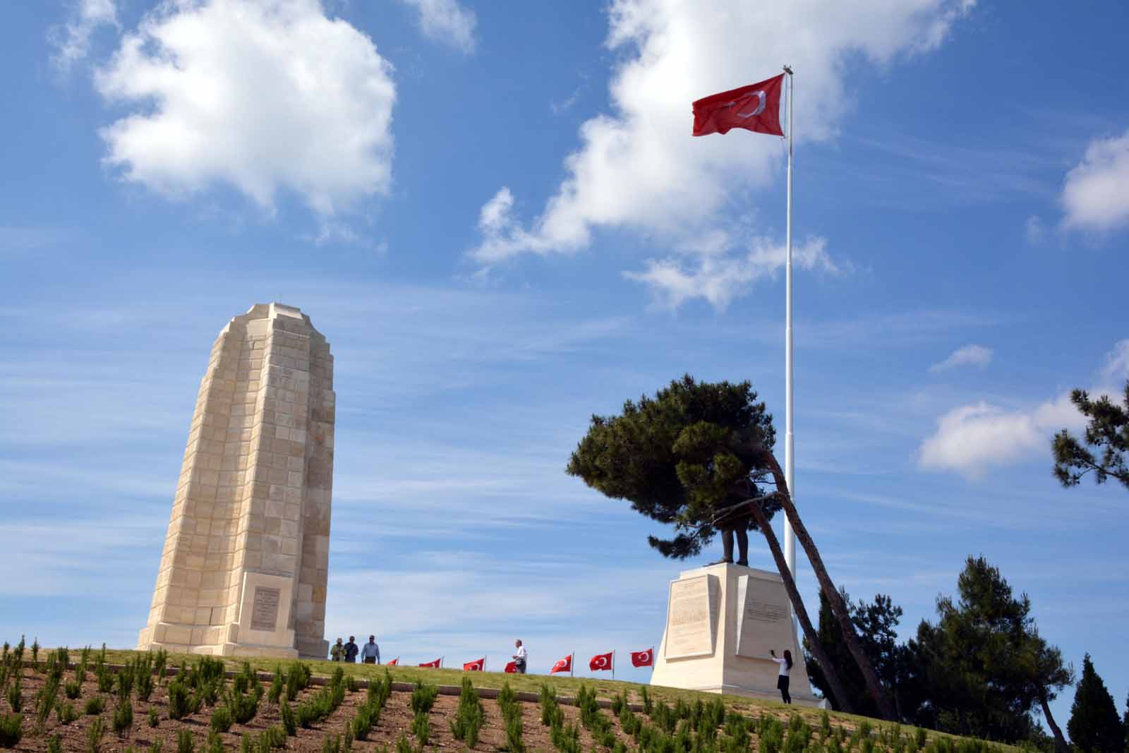
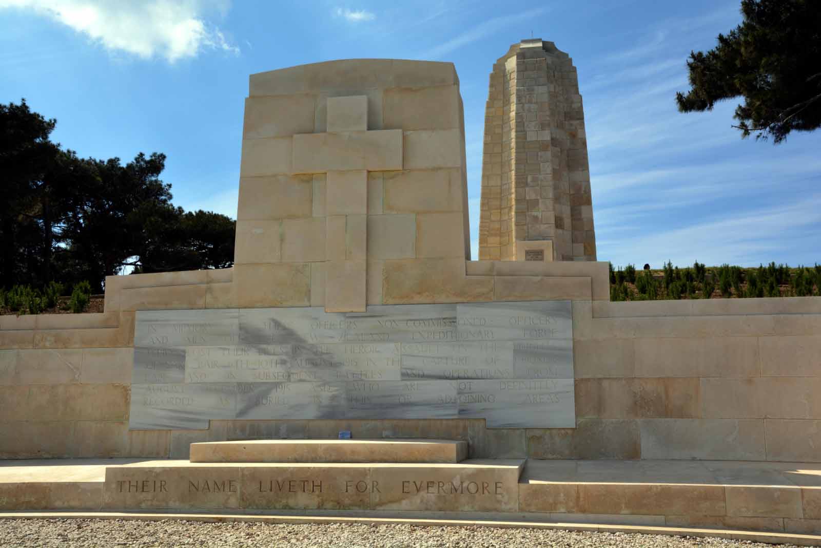
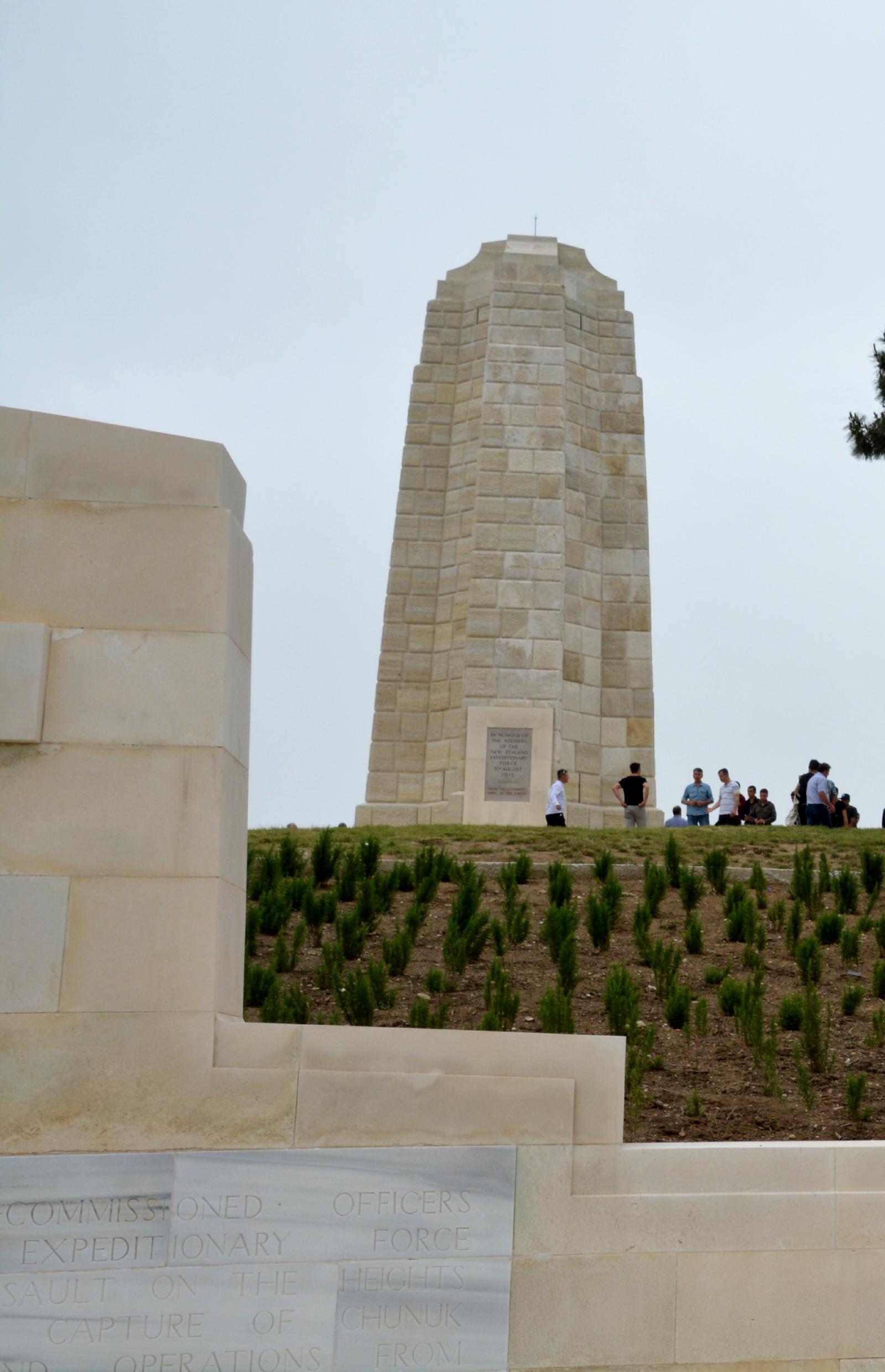
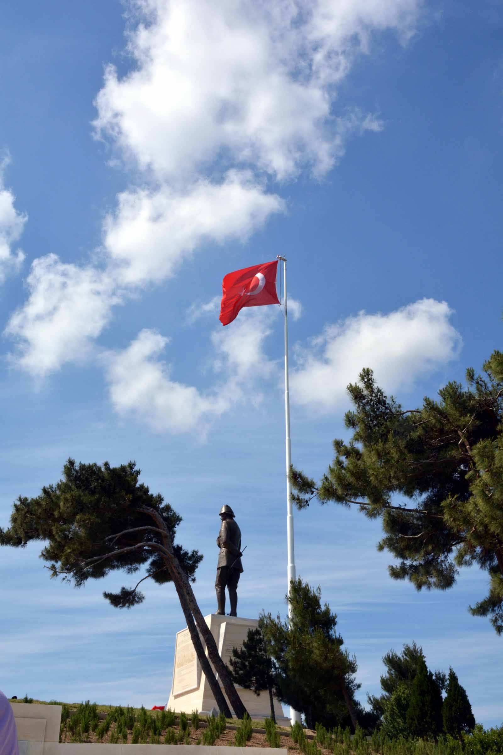
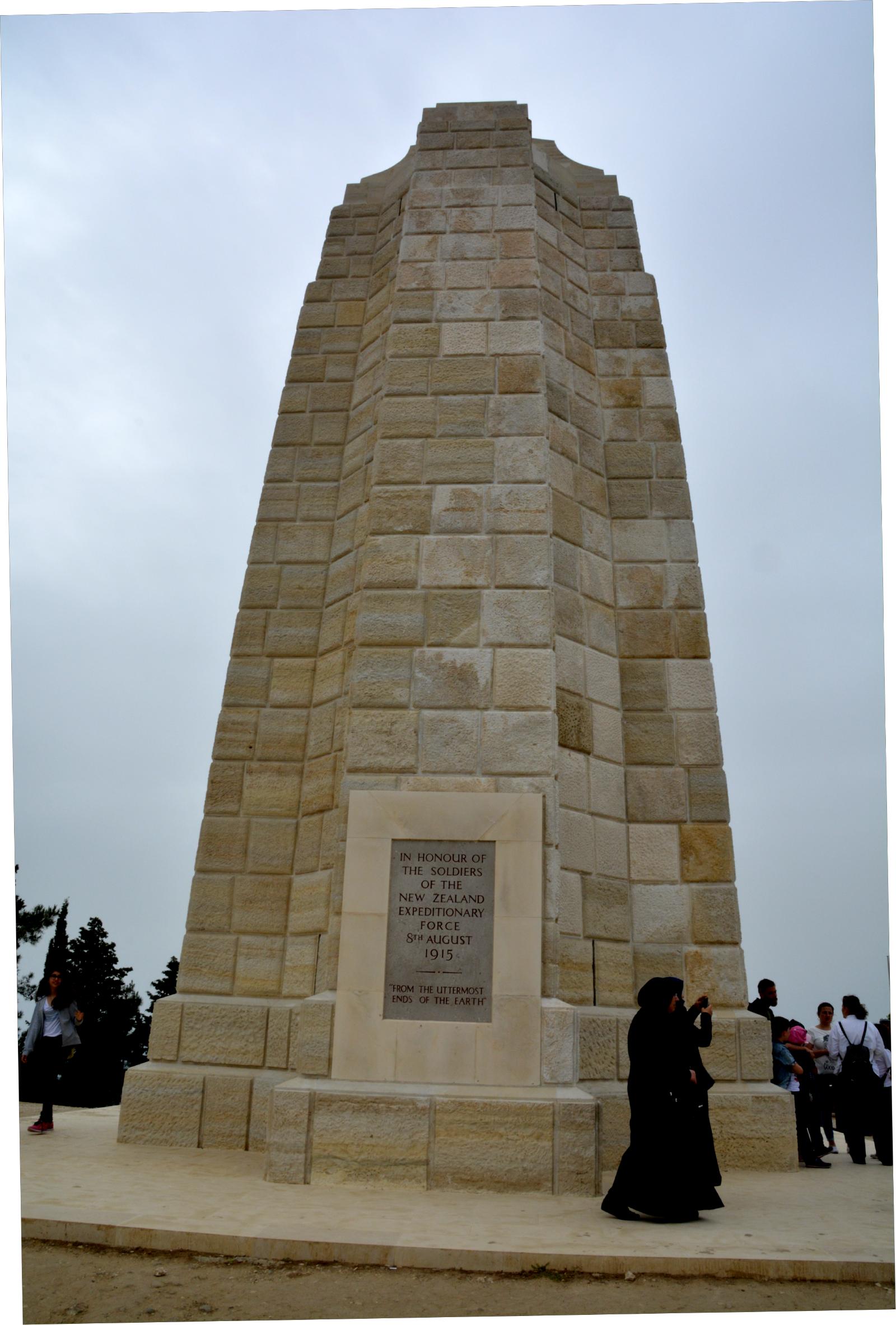
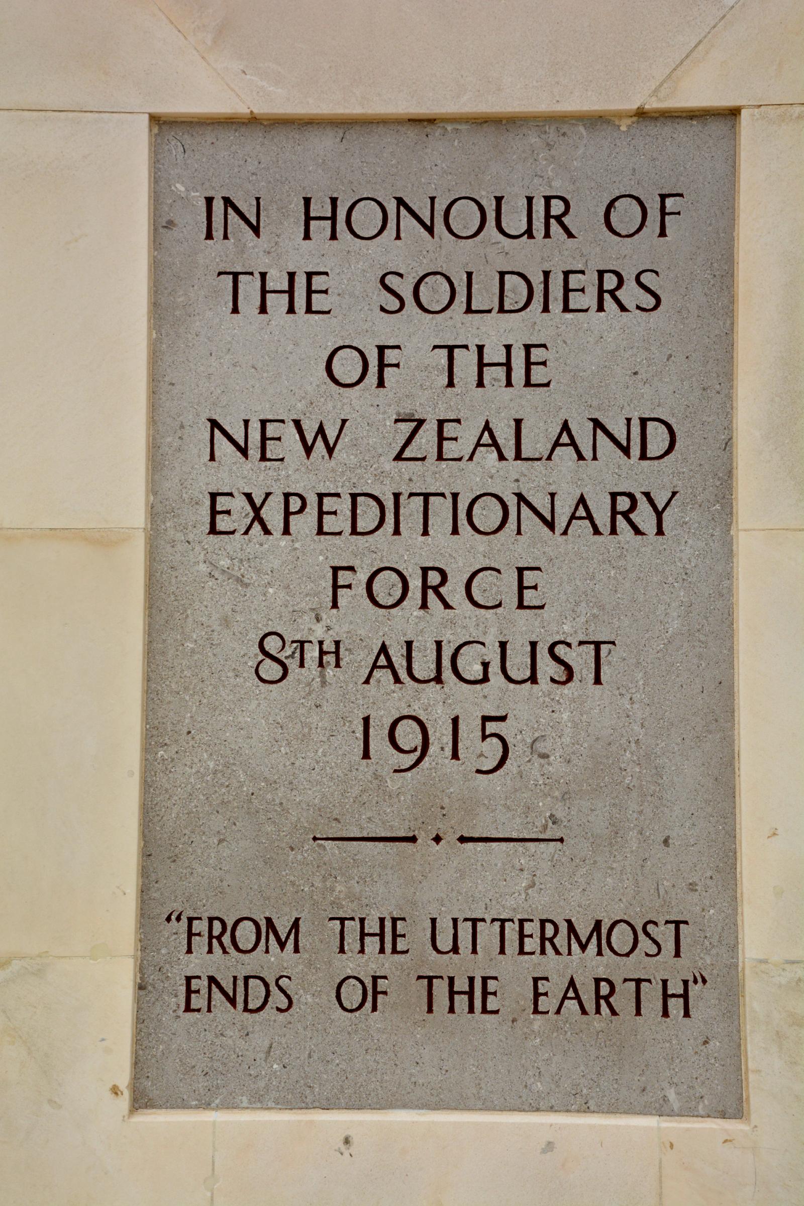
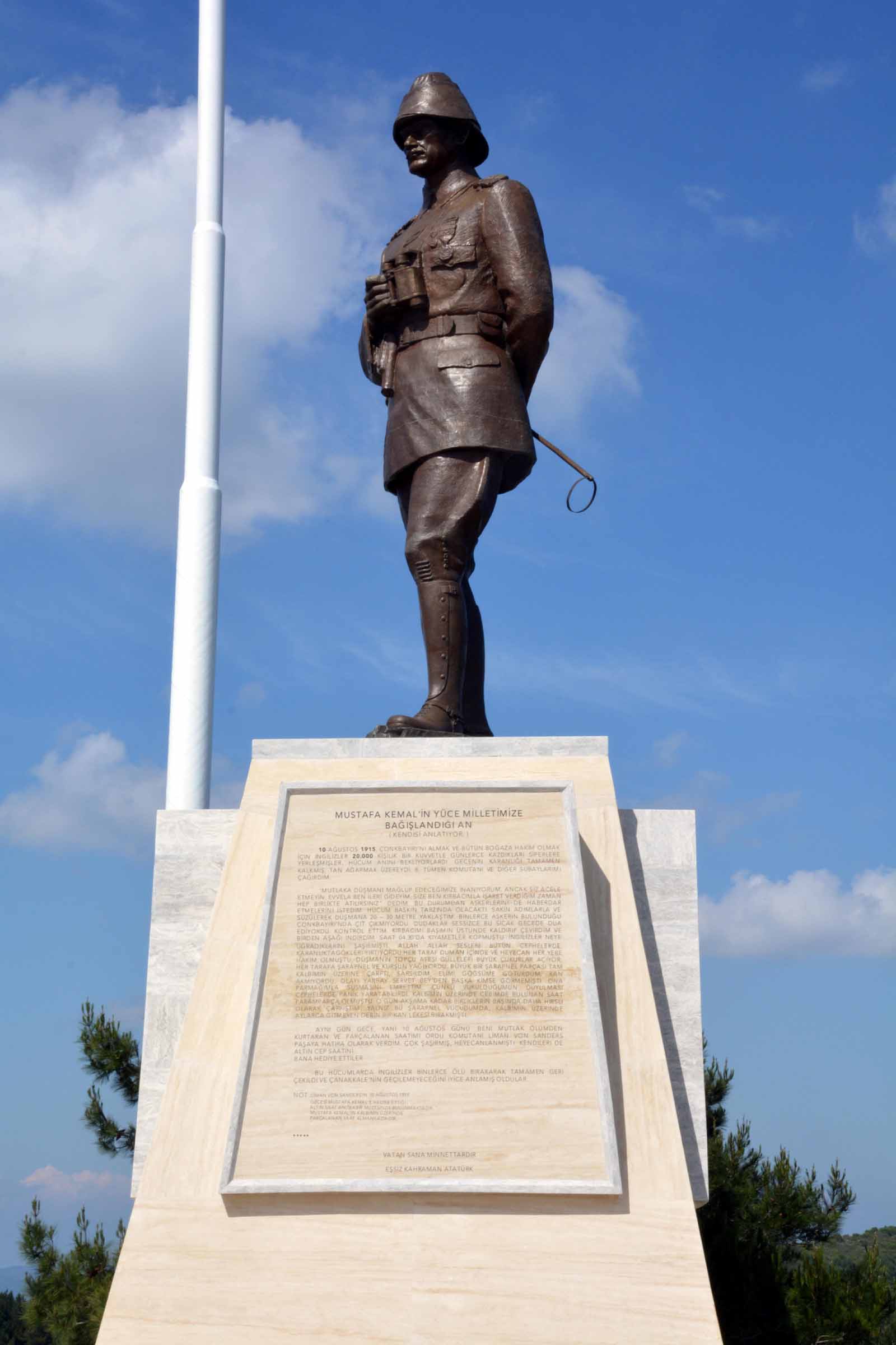
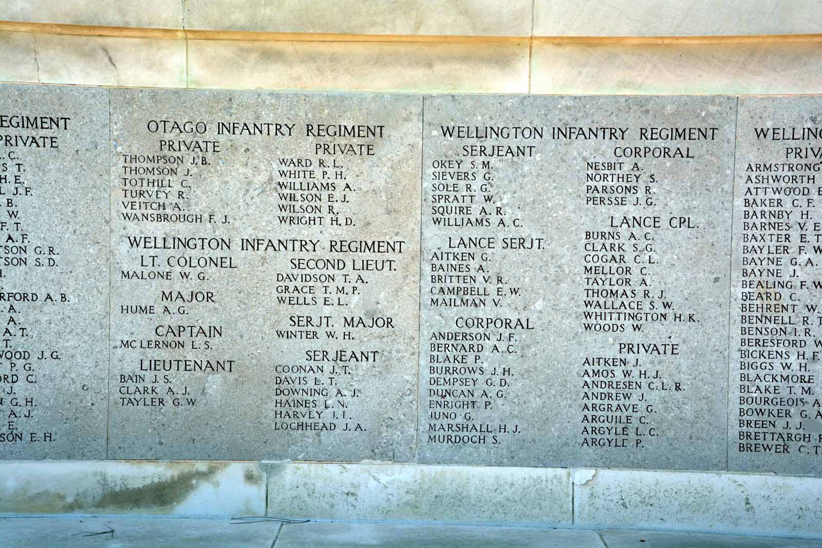
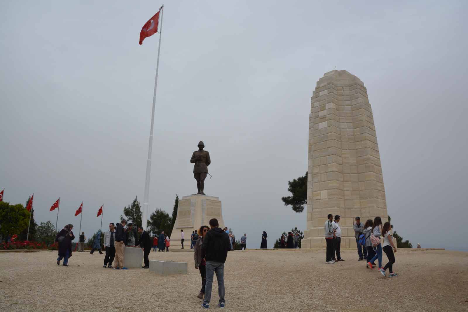
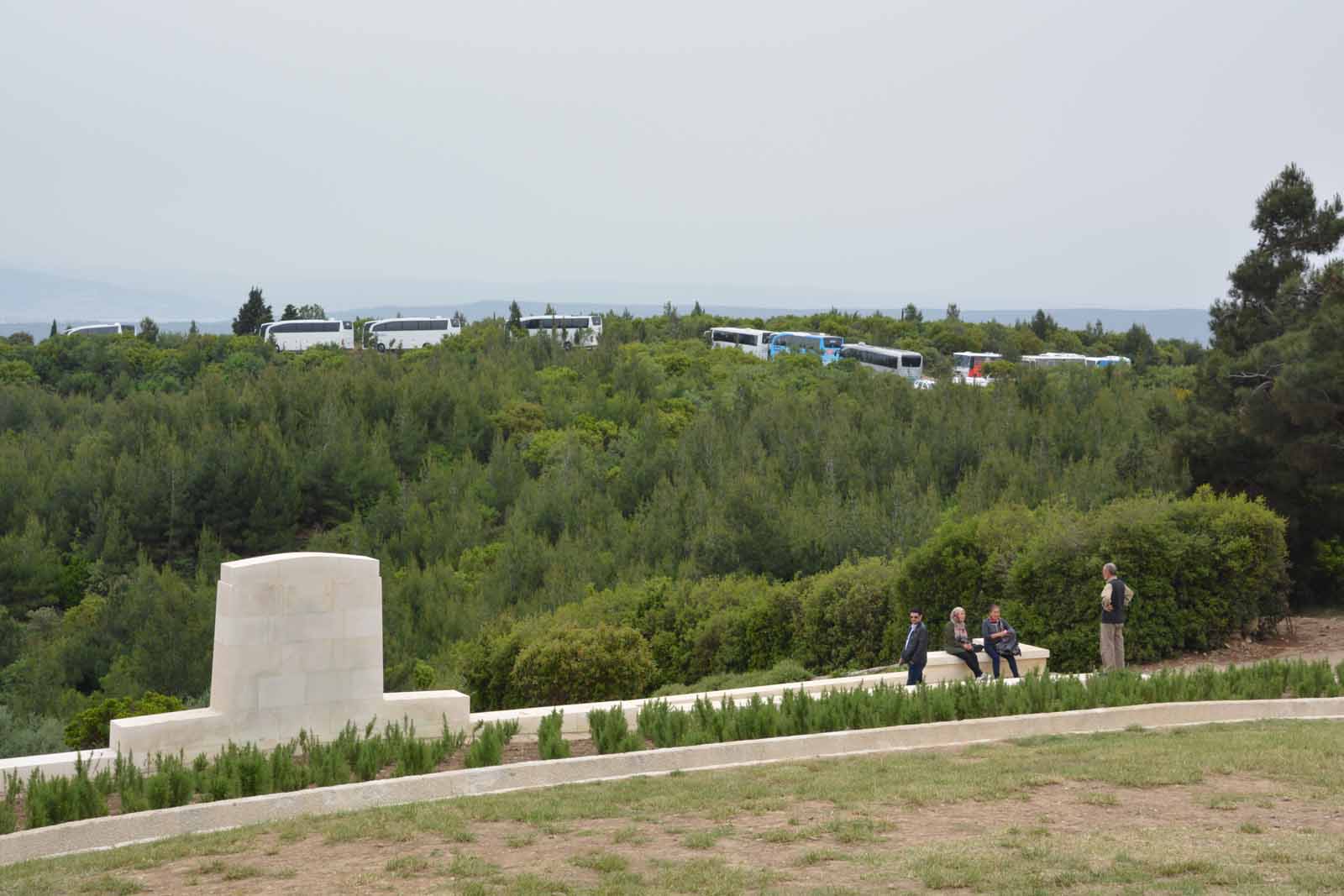
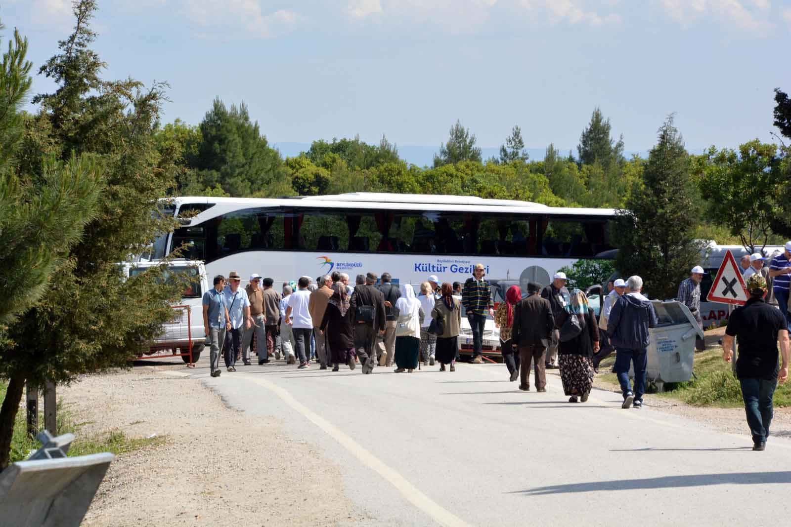
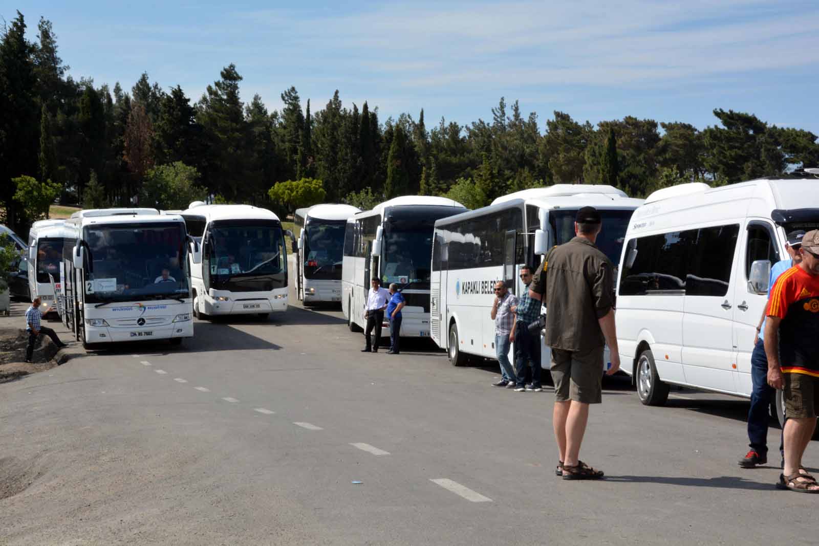
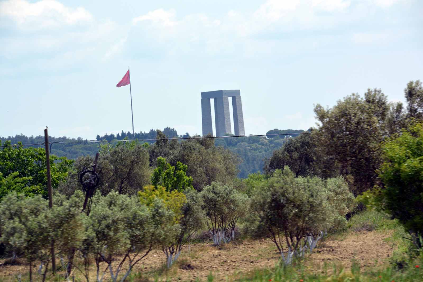
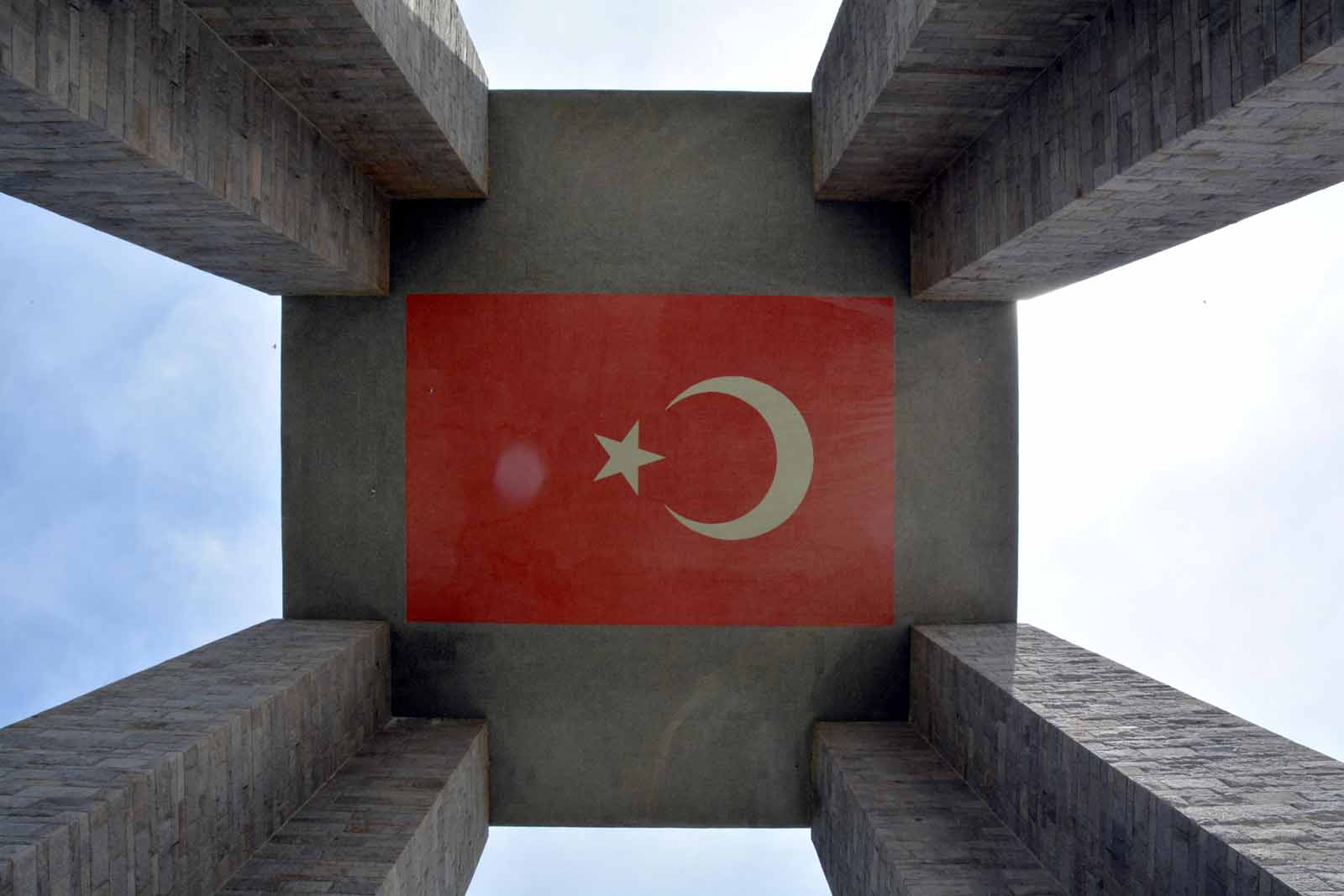
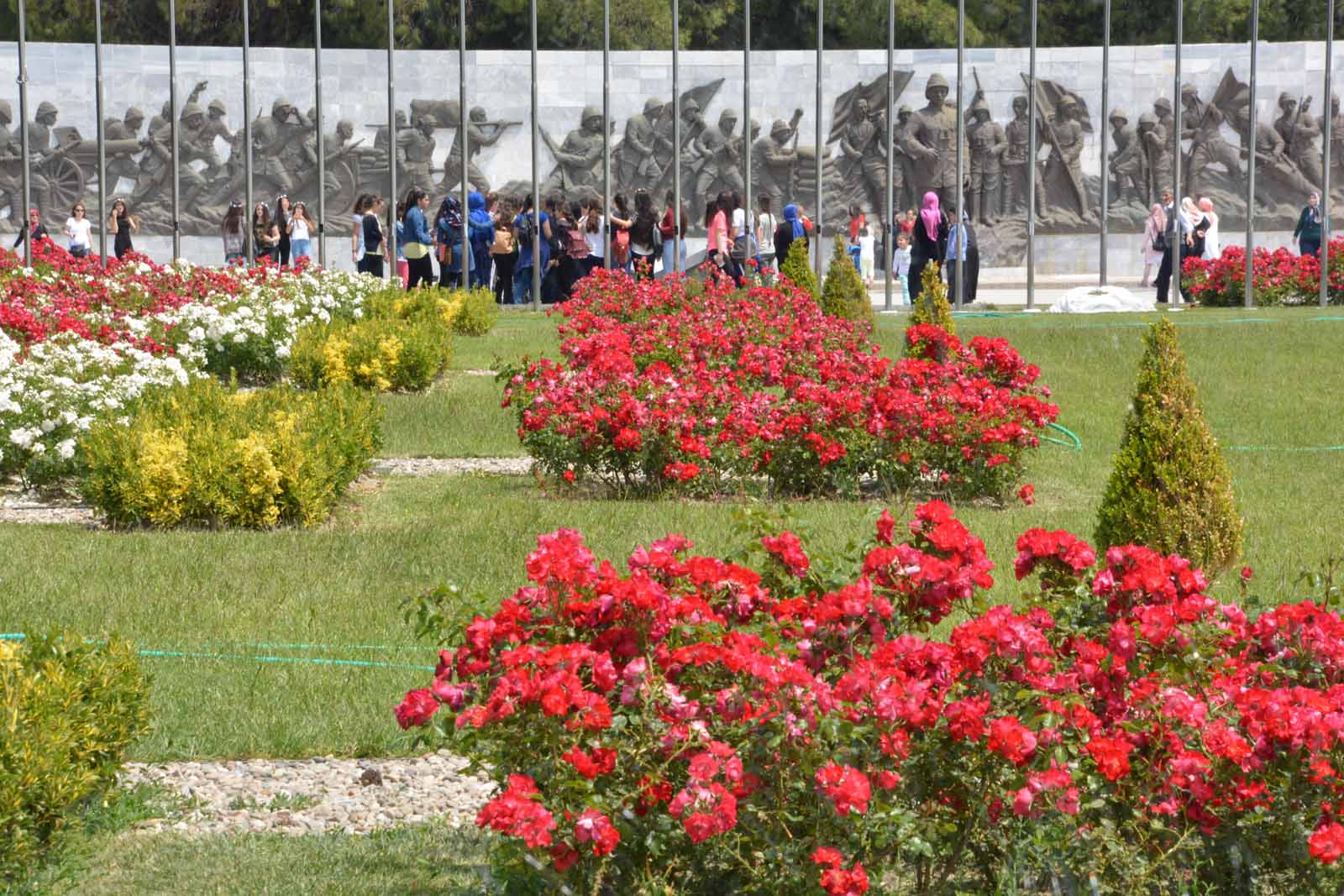
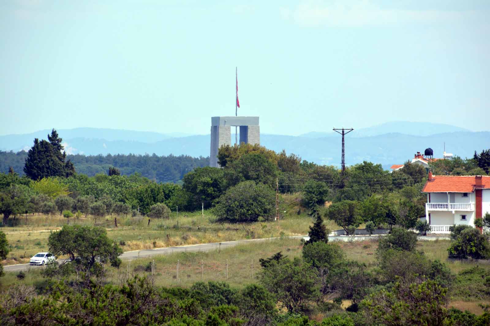
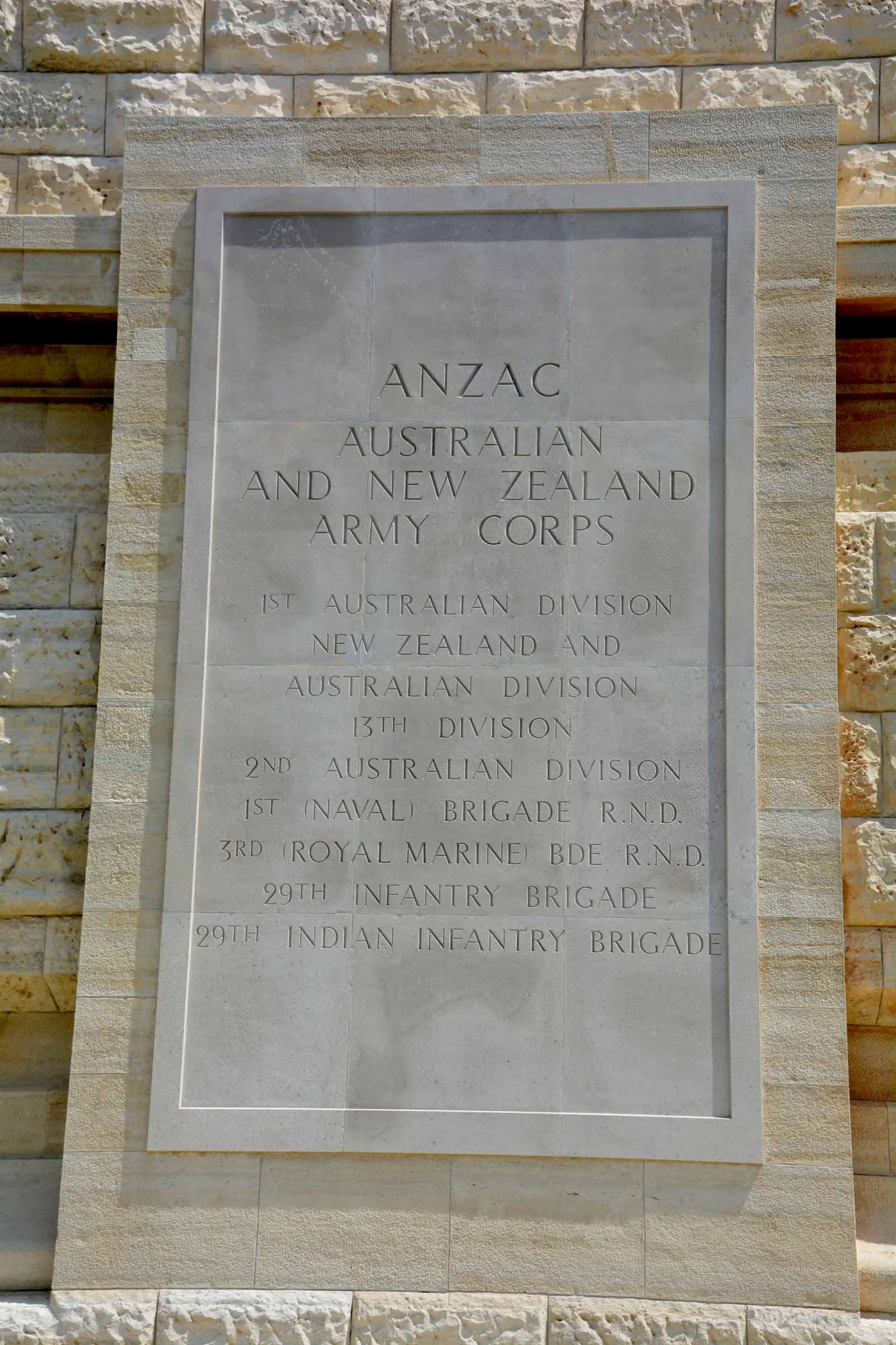
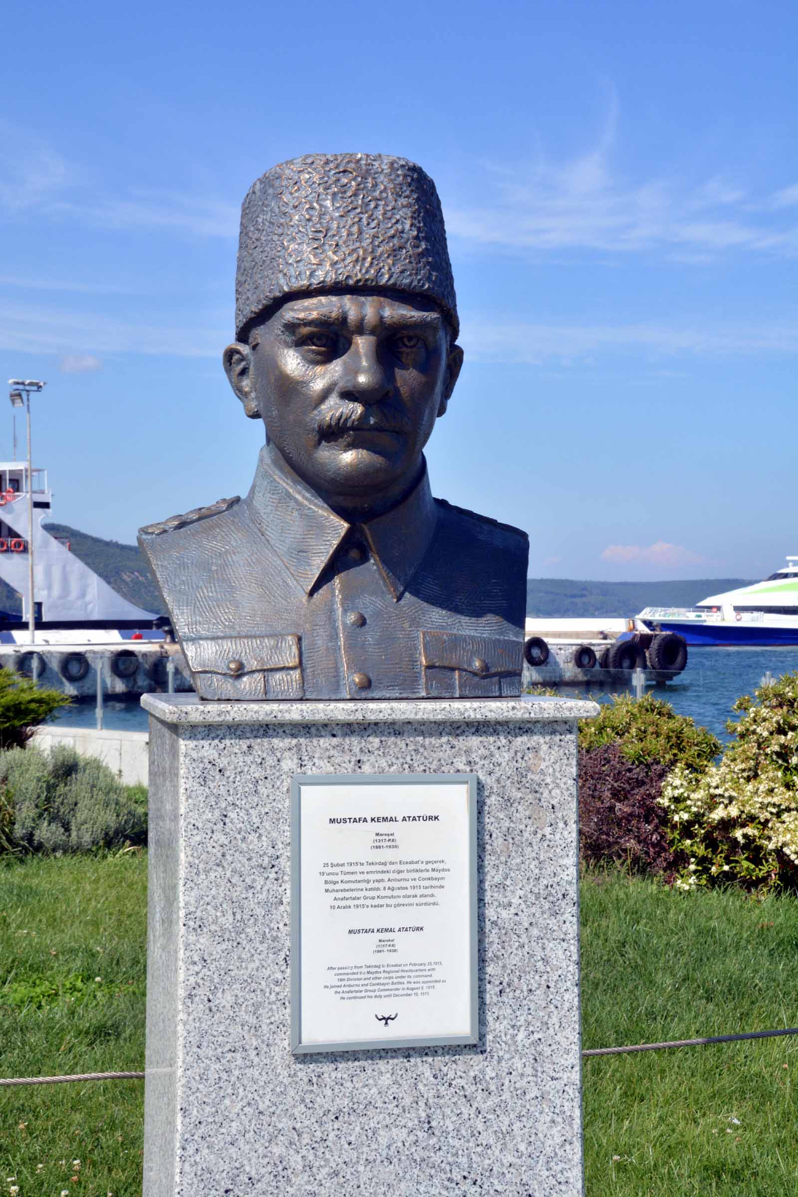
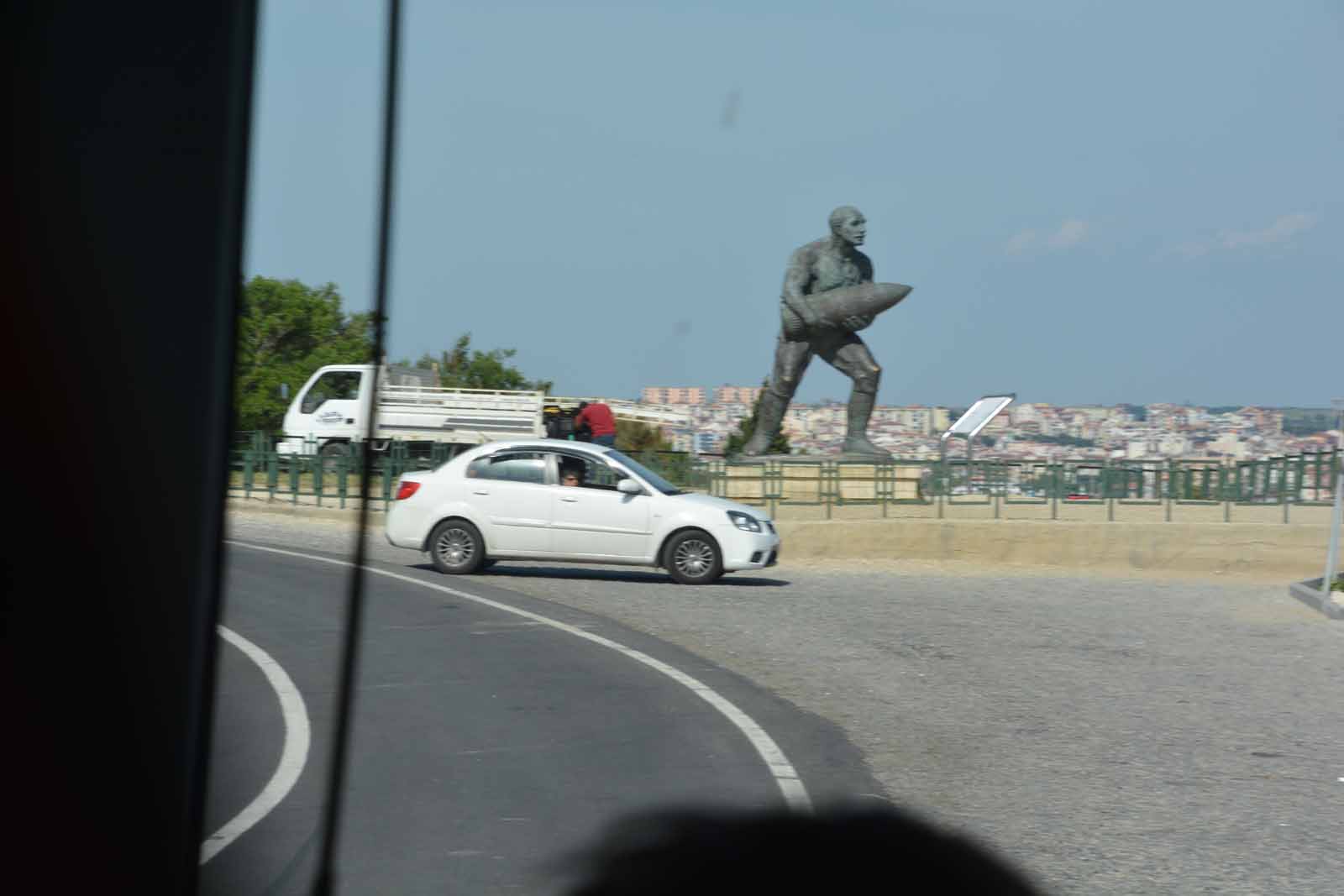
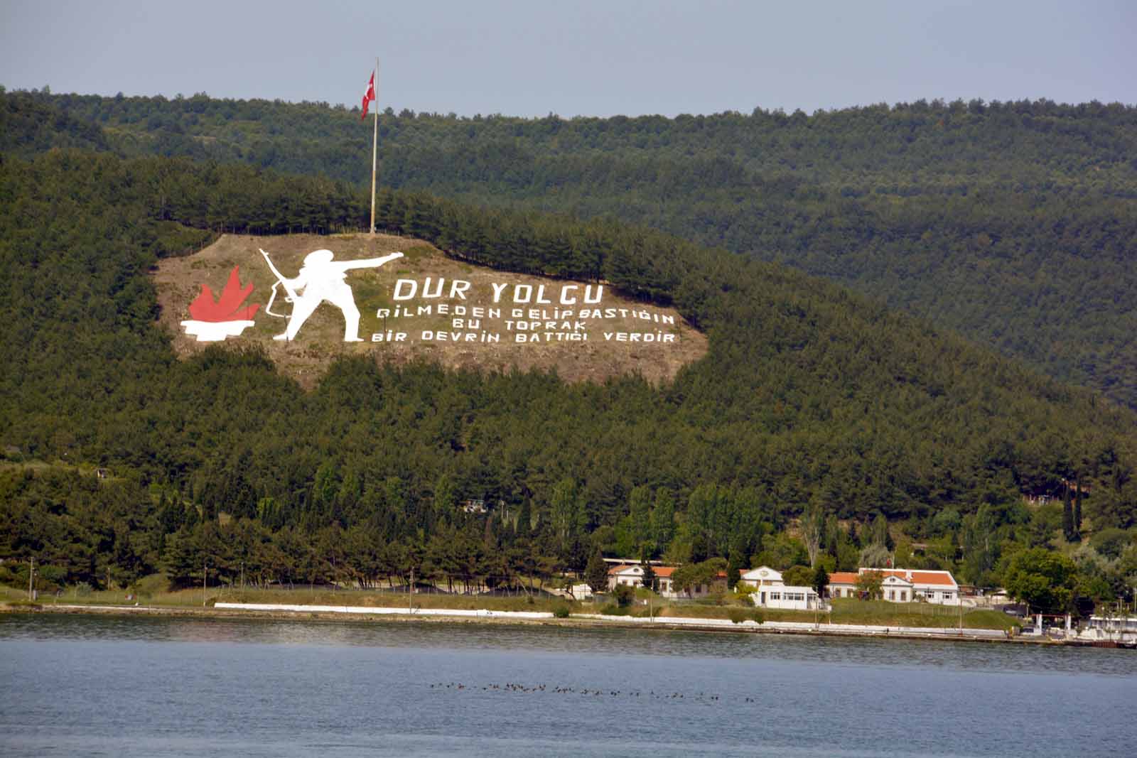
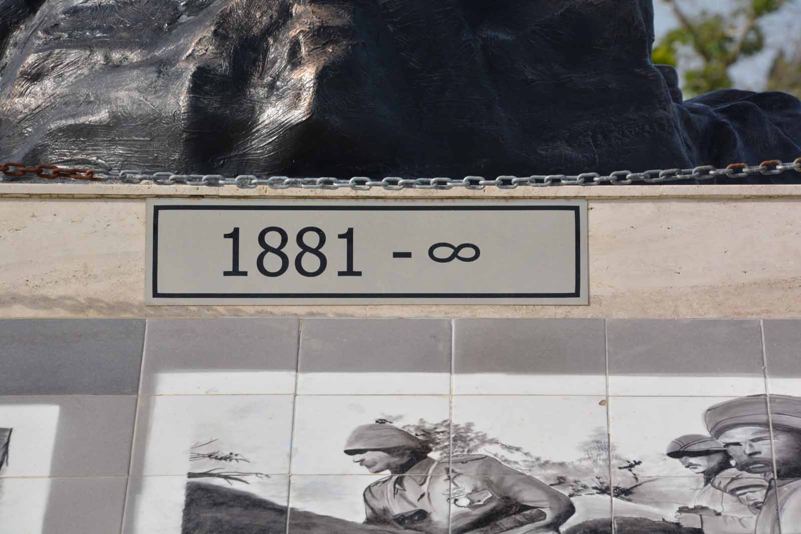
Chunuk BairChunuk Bair is the main New Zealand memorial on the Gallipoli Peninsula. It was unveiled in 1925 and records the names of 850 New Zealanders killed in the vicinity. Some time later a statue of Ataturk was installed close by and this has now become a site of pilgrimage for many Turks. When we visited there were long lines of tour buses blocking the road as hundreds of Turks, young and old, visited the statue. Some were not overly welcoming of New Zealanders who had come to pay their respects. Below the site, the Turks have restored some of the trenches but they are not nearly as deep as the originals.
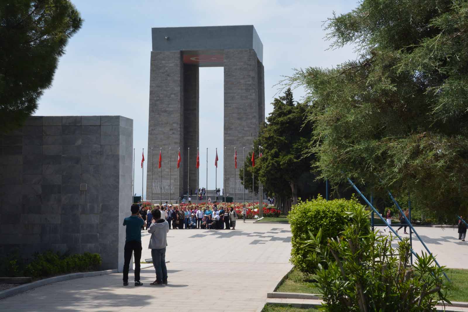
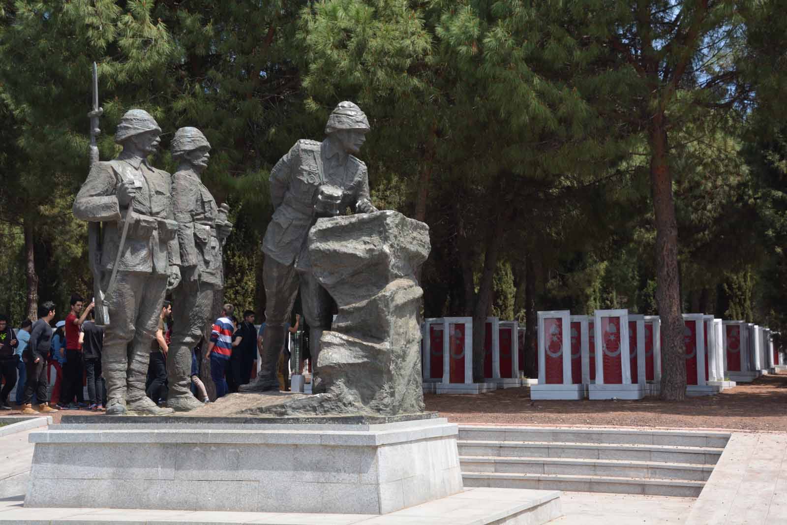
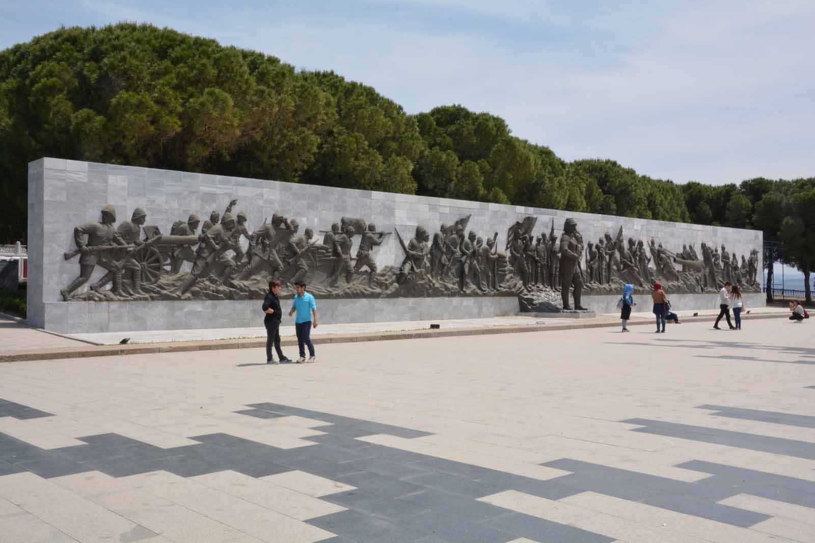
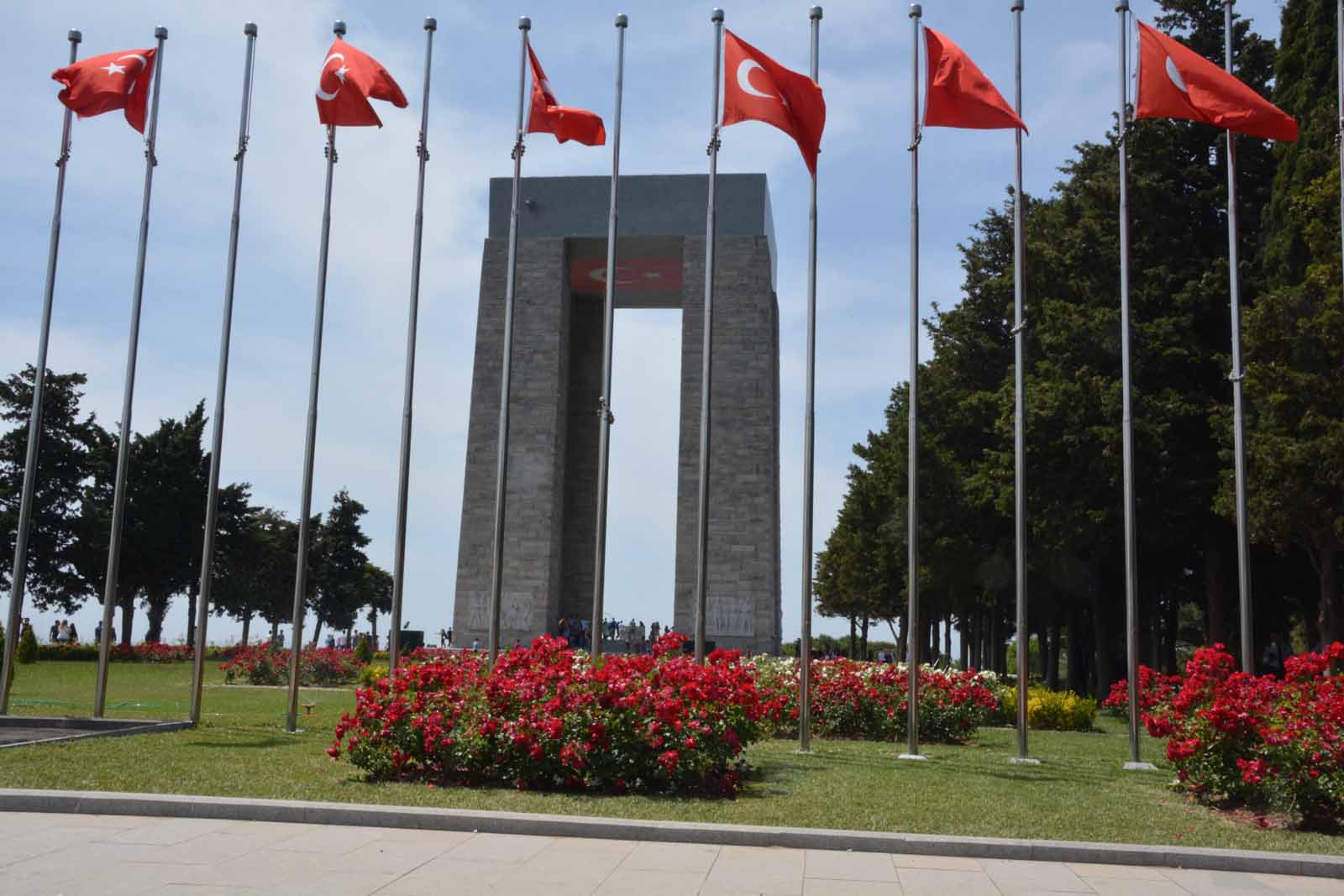
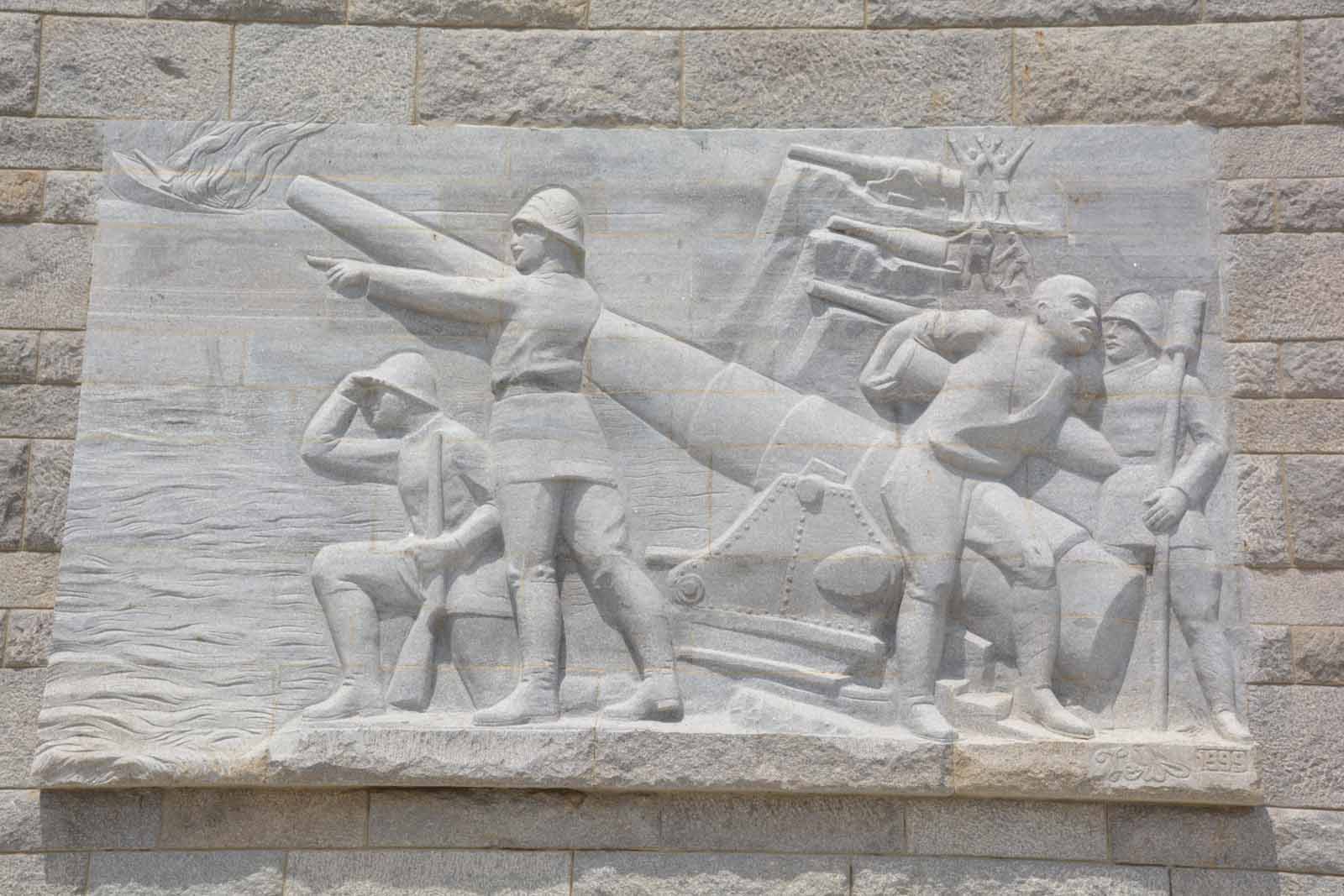
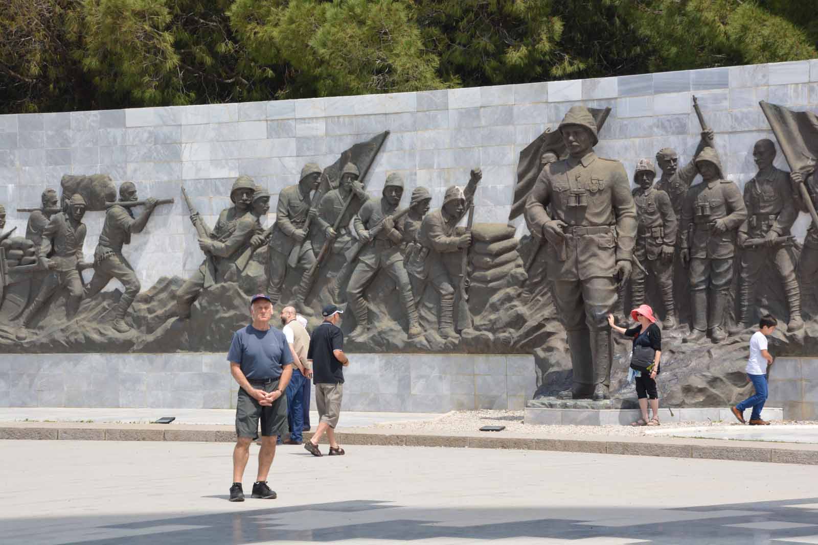
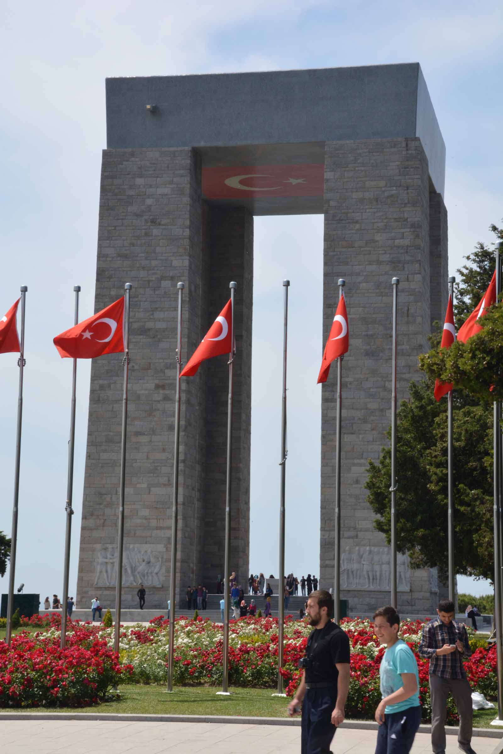
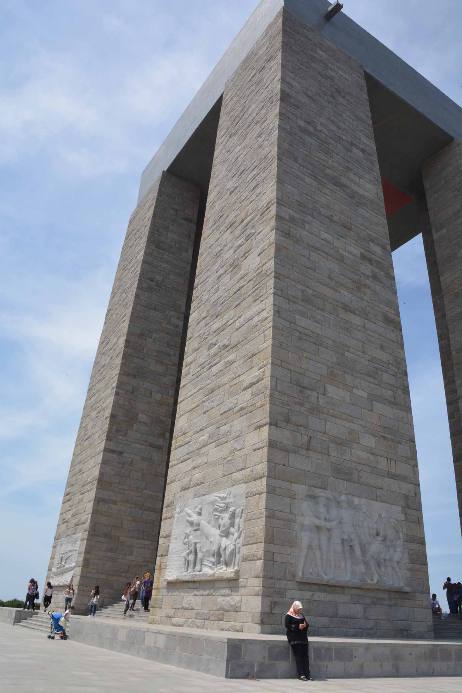
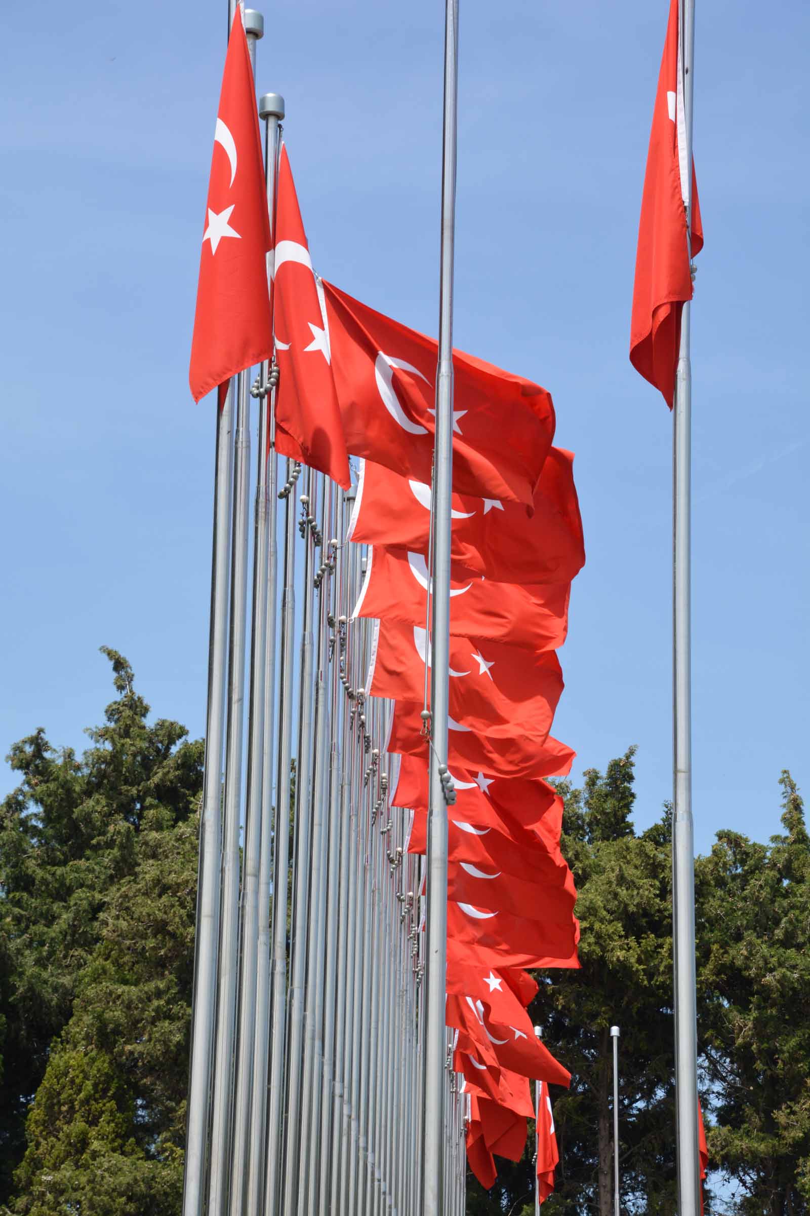
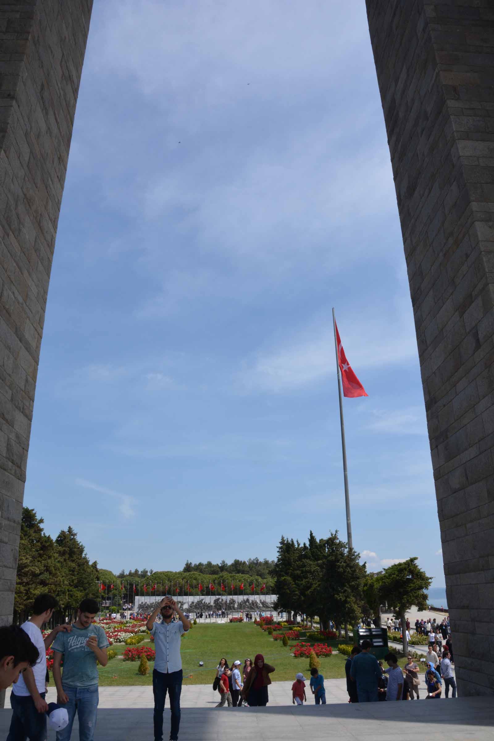
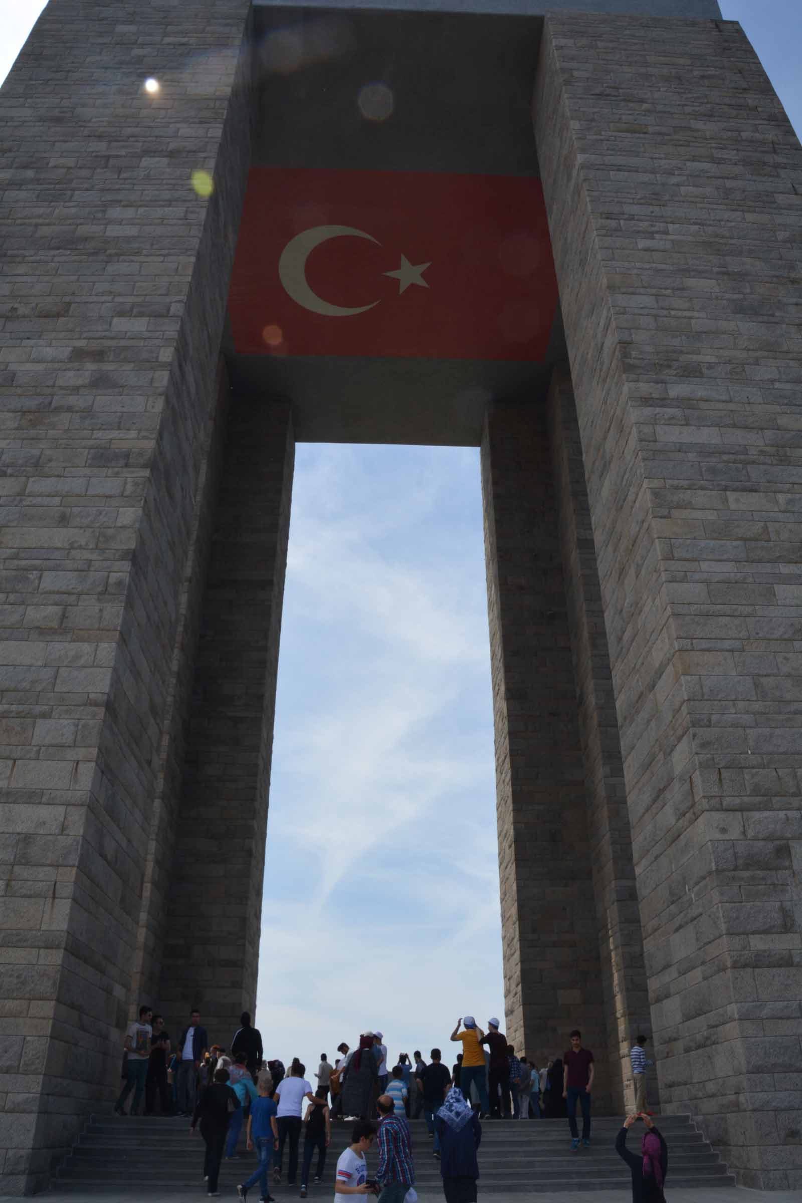
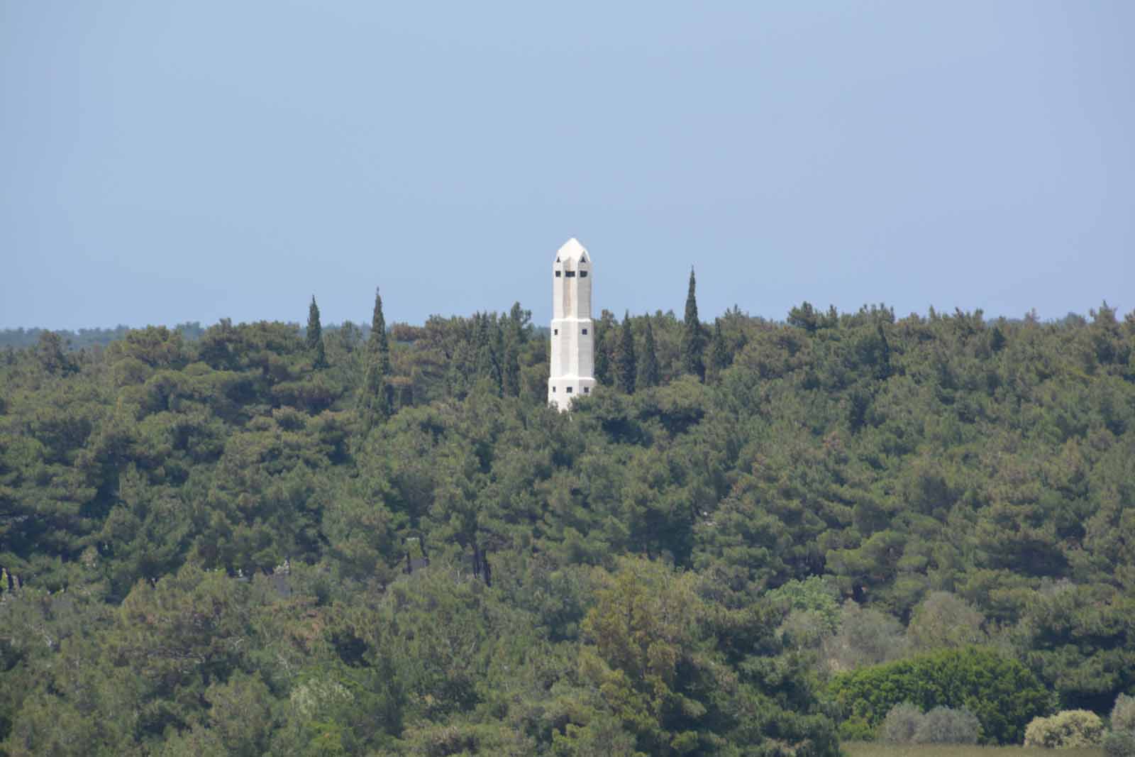
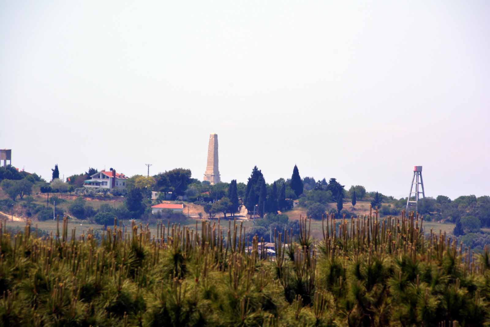
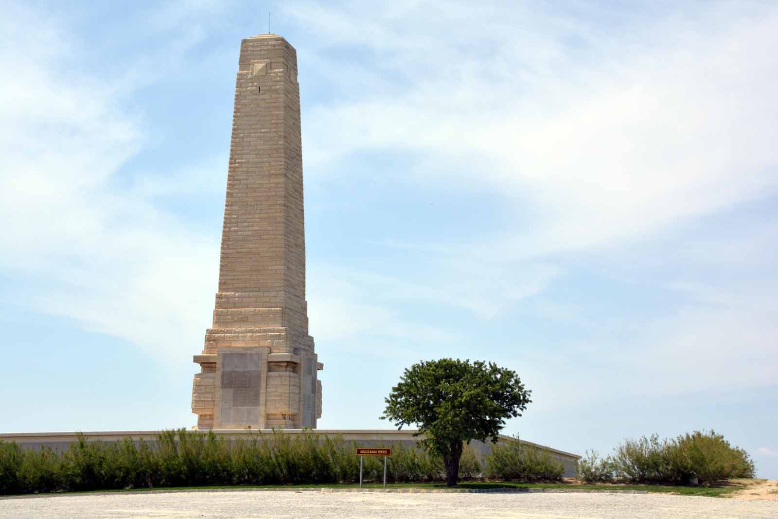
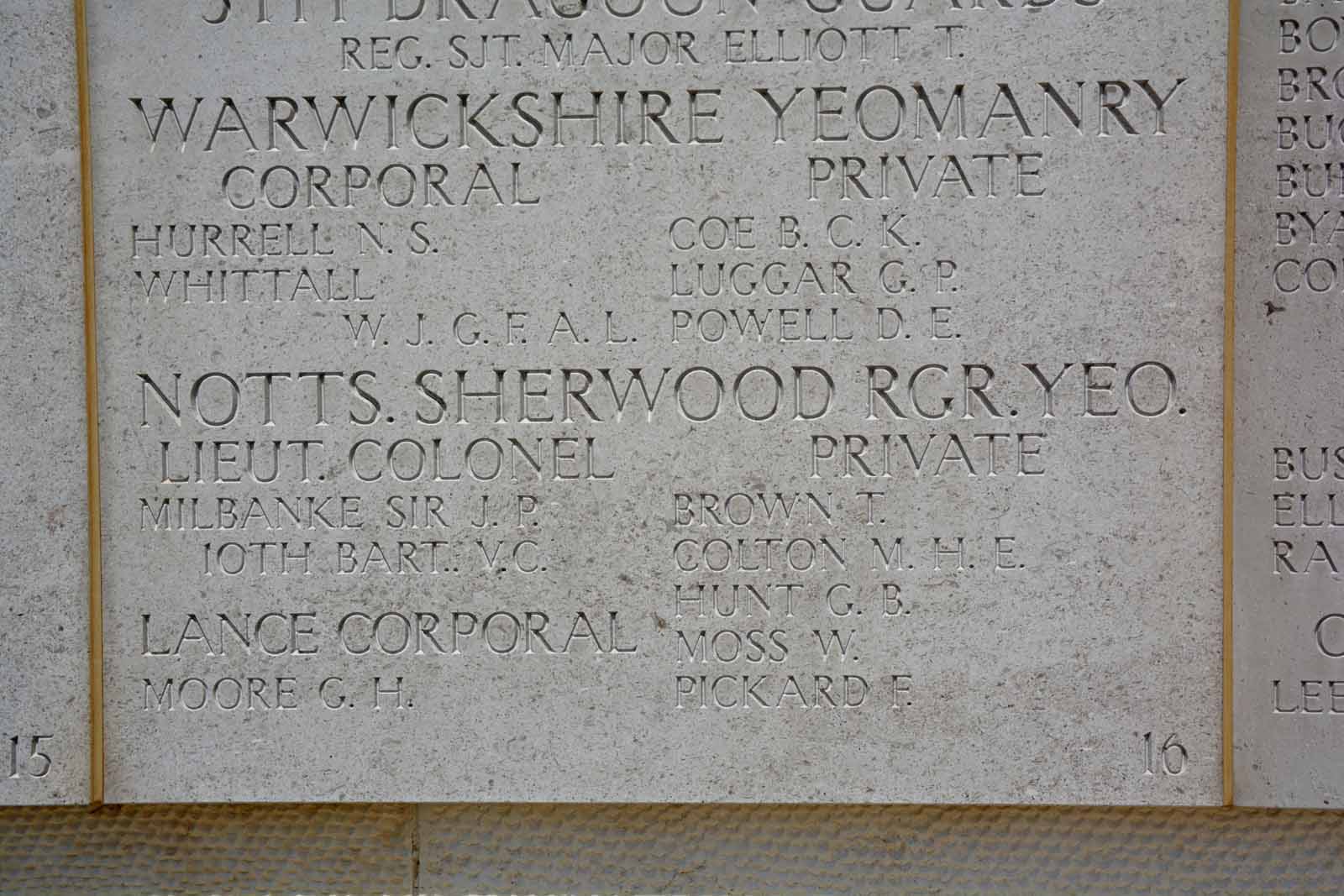
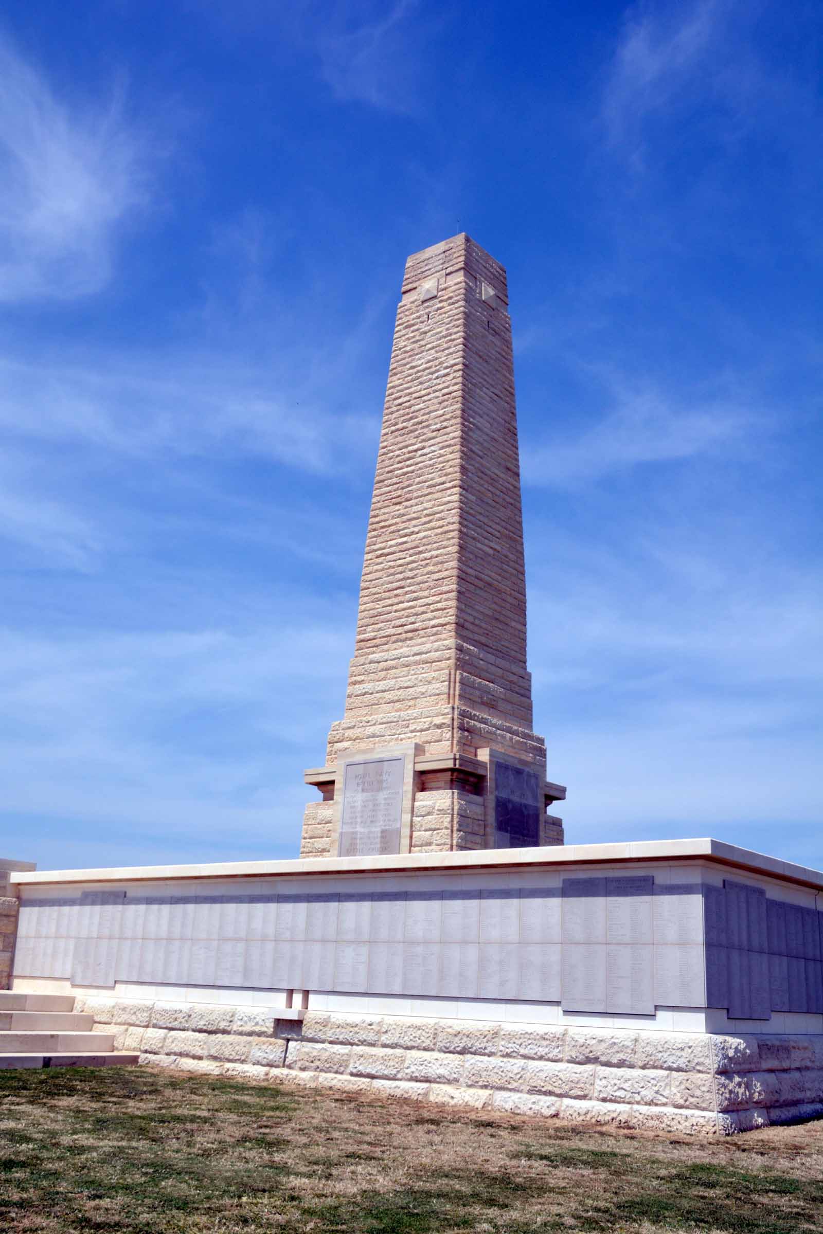
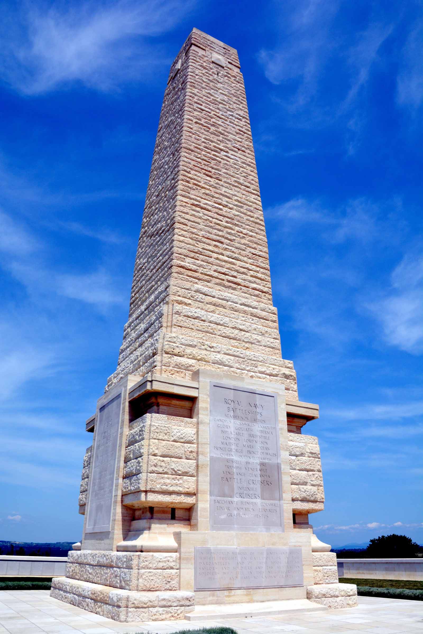
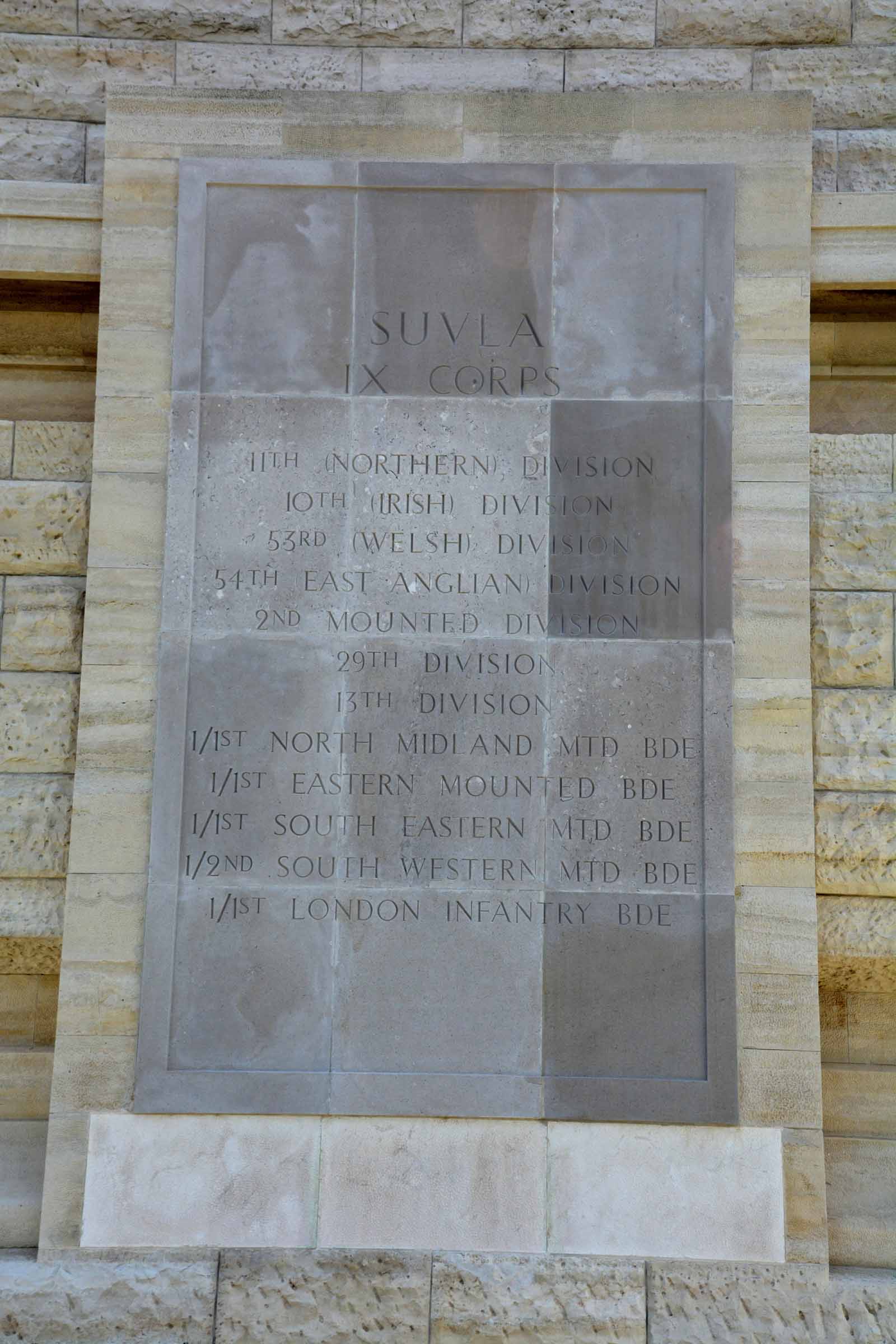
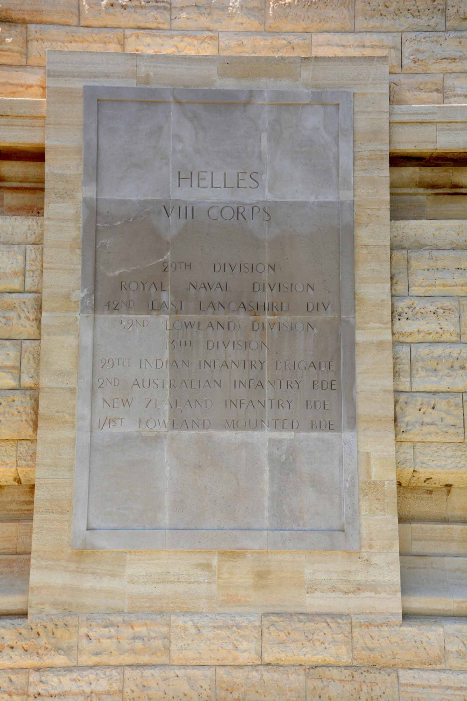
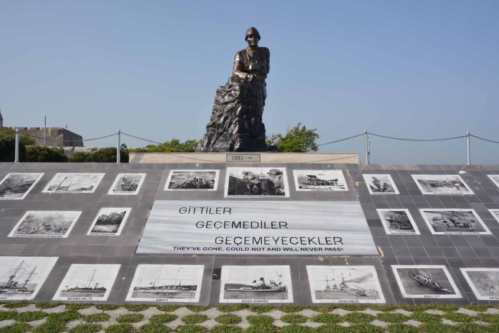
Helles, V Beach and the Martyr's Memorial at Morto BayAlthough the ANZAC landing at Anzac Cove is the best known location on the Gallipoli Peninsula, the British landing at the southern tip was an even bigger failure. Here the British troops were crammed into an old ferry which was driven ashore. The idea was fine, get the troops as close to the beach as possibleinside a protected ship and then they could pour out and overwhelm the Turks. But the British did it in broad daylight and the Turks were waiting. The landing beach was code-named V Beach and the hill overlooking the bay has the Helles Memorial to the British troops. Close by is the large and impressive Turkish memorial, known as the Martyrs' Memorial.
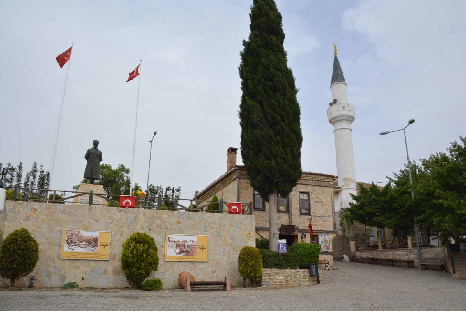
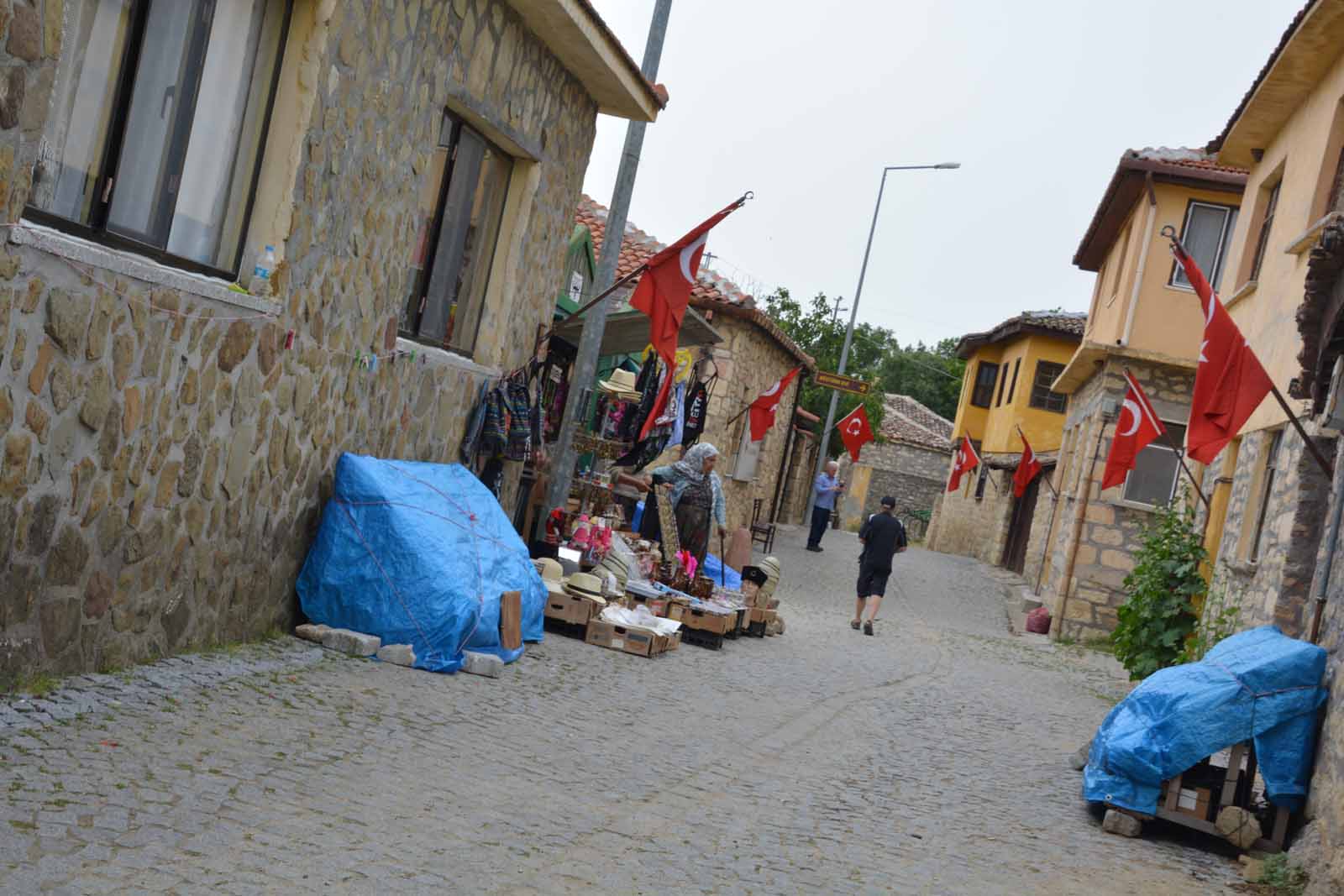
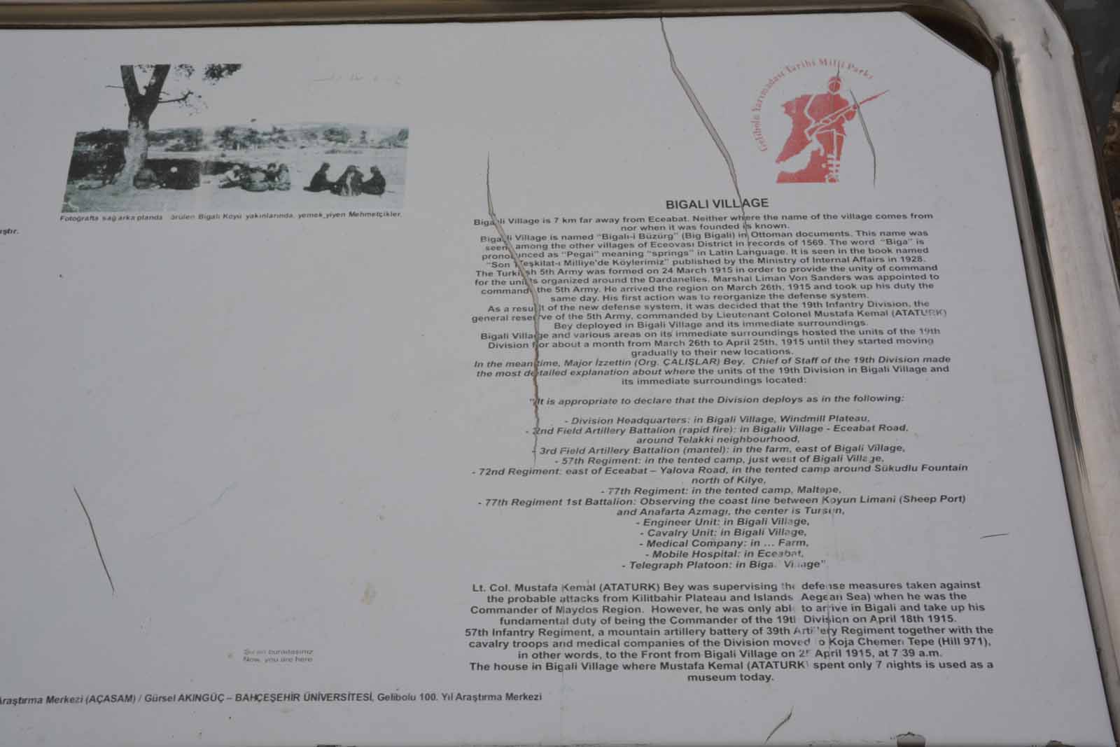
Ataturk's Headquarters at BigaliIn the middle of the peninsula lies the small town of Bigali. Here, Ataturk based his headquarters. The house is now a memorial and museum, but damage in a recent earthquake has closed the building. They were expecting a lot of visitors, based on the large number of souveniers on display.
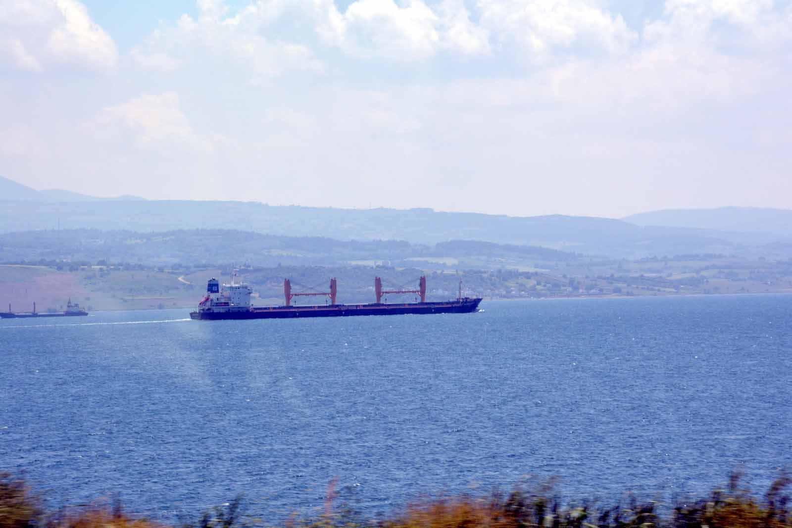
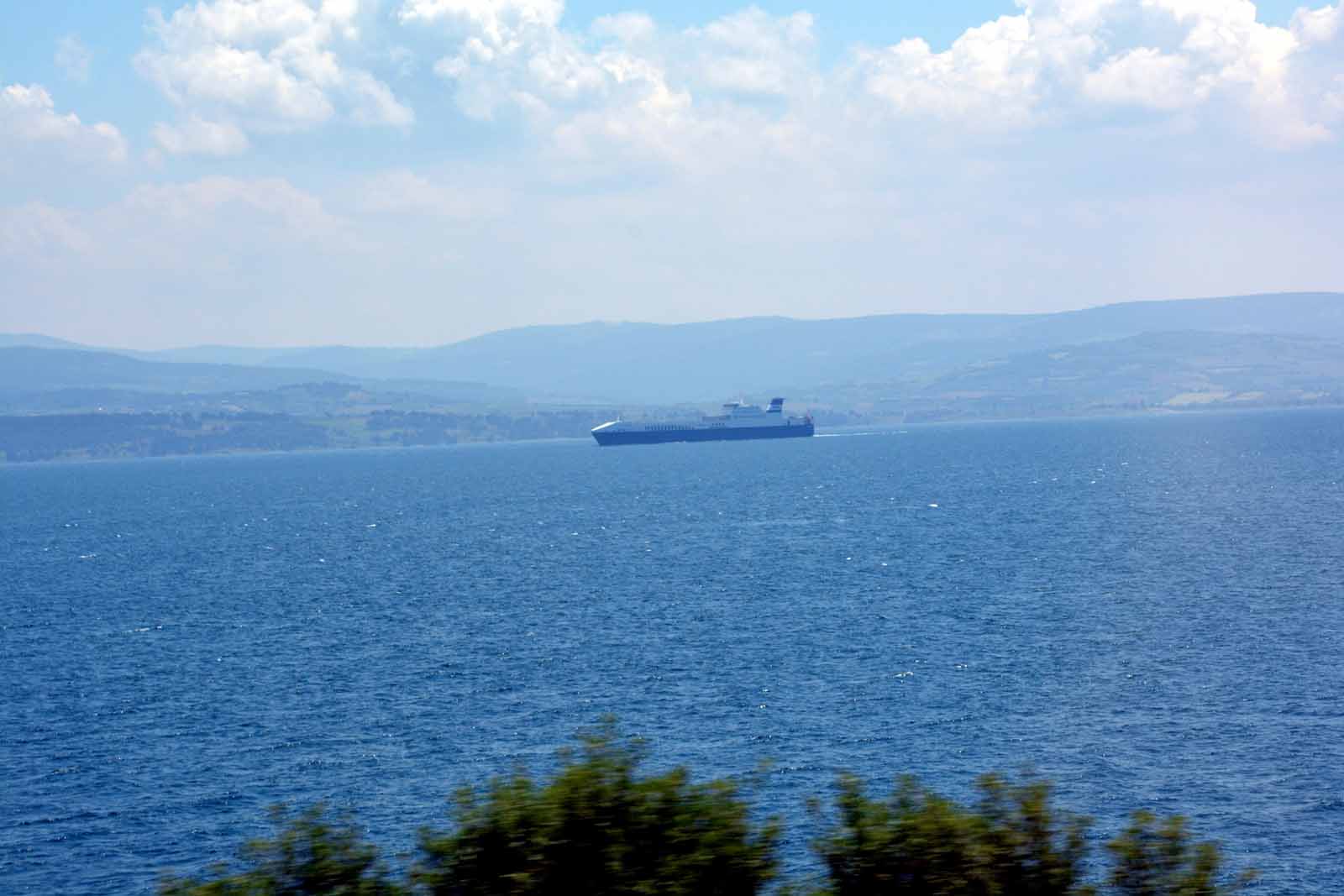
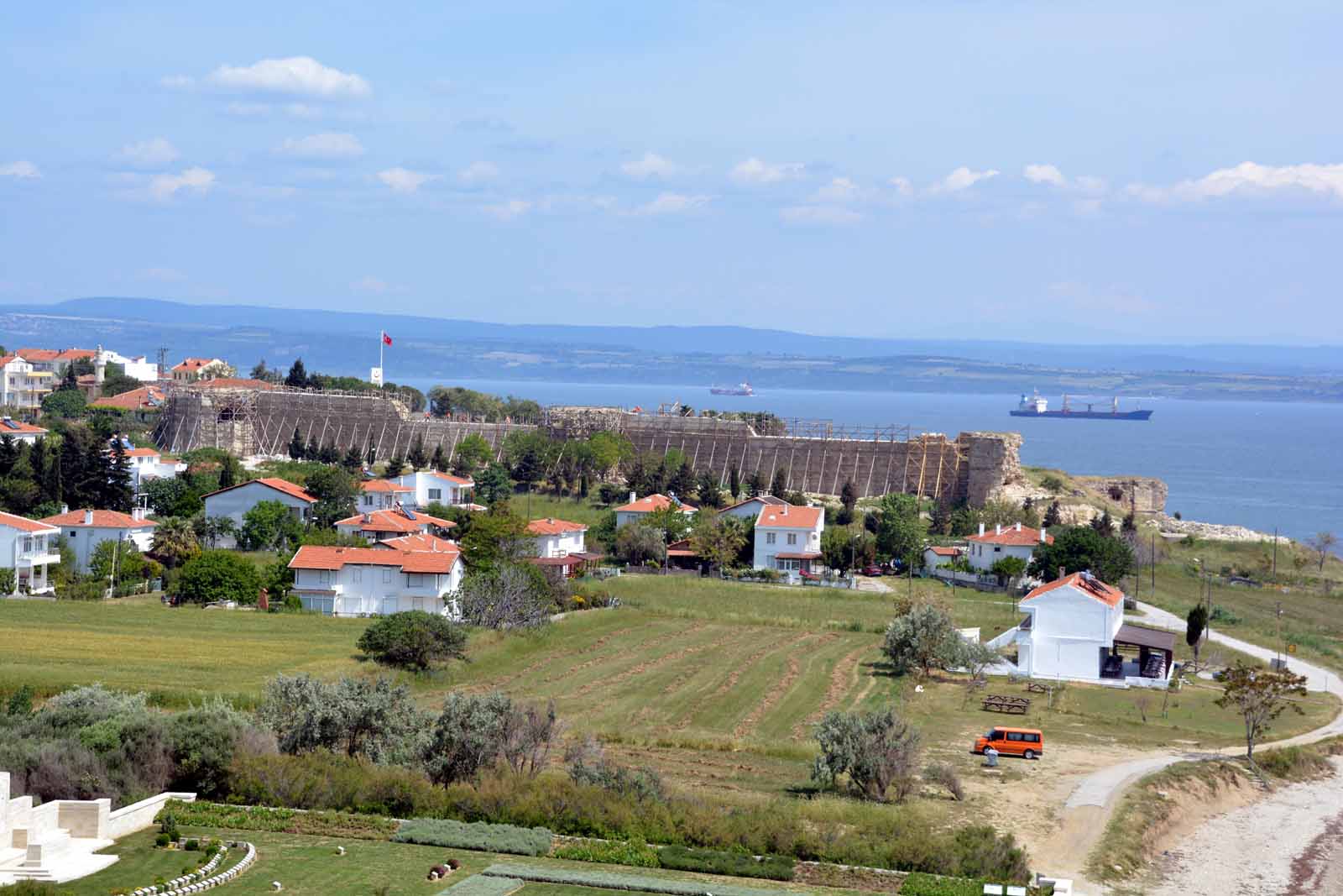
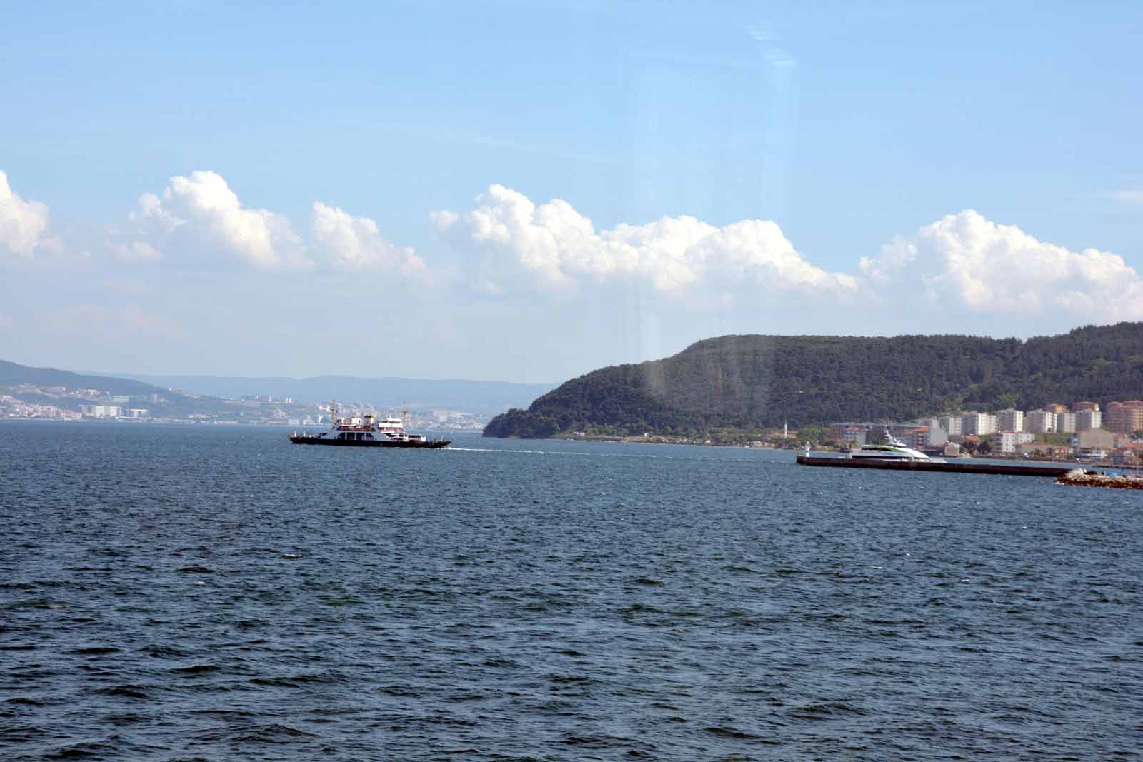
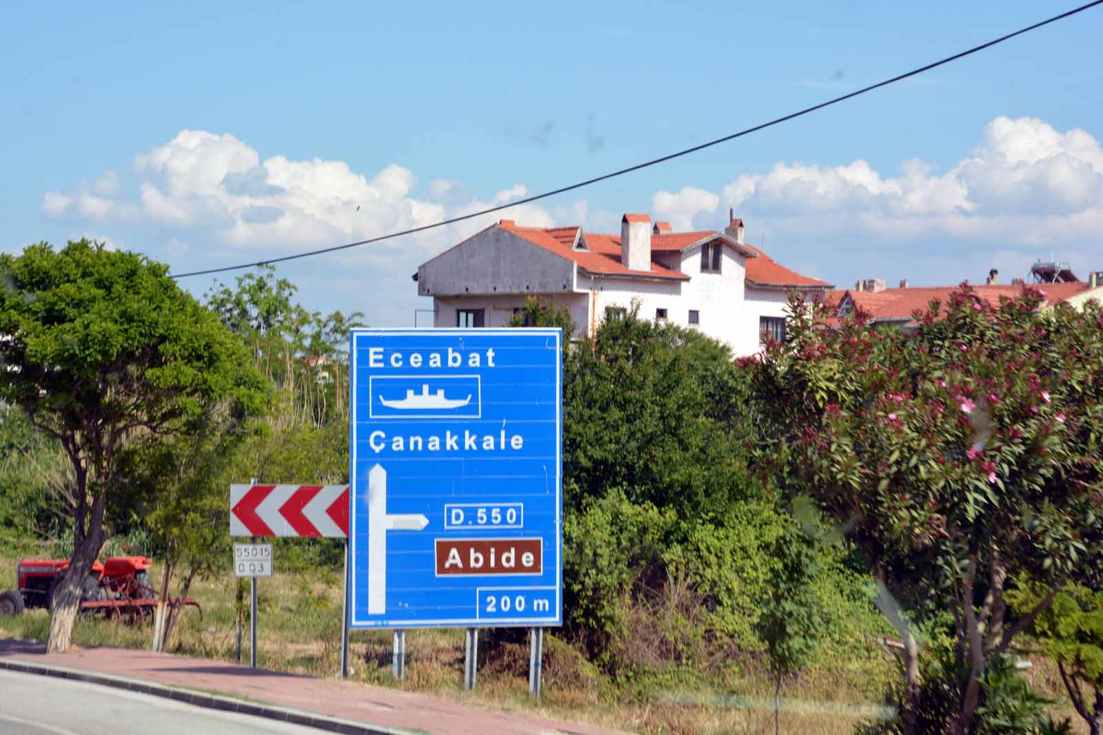
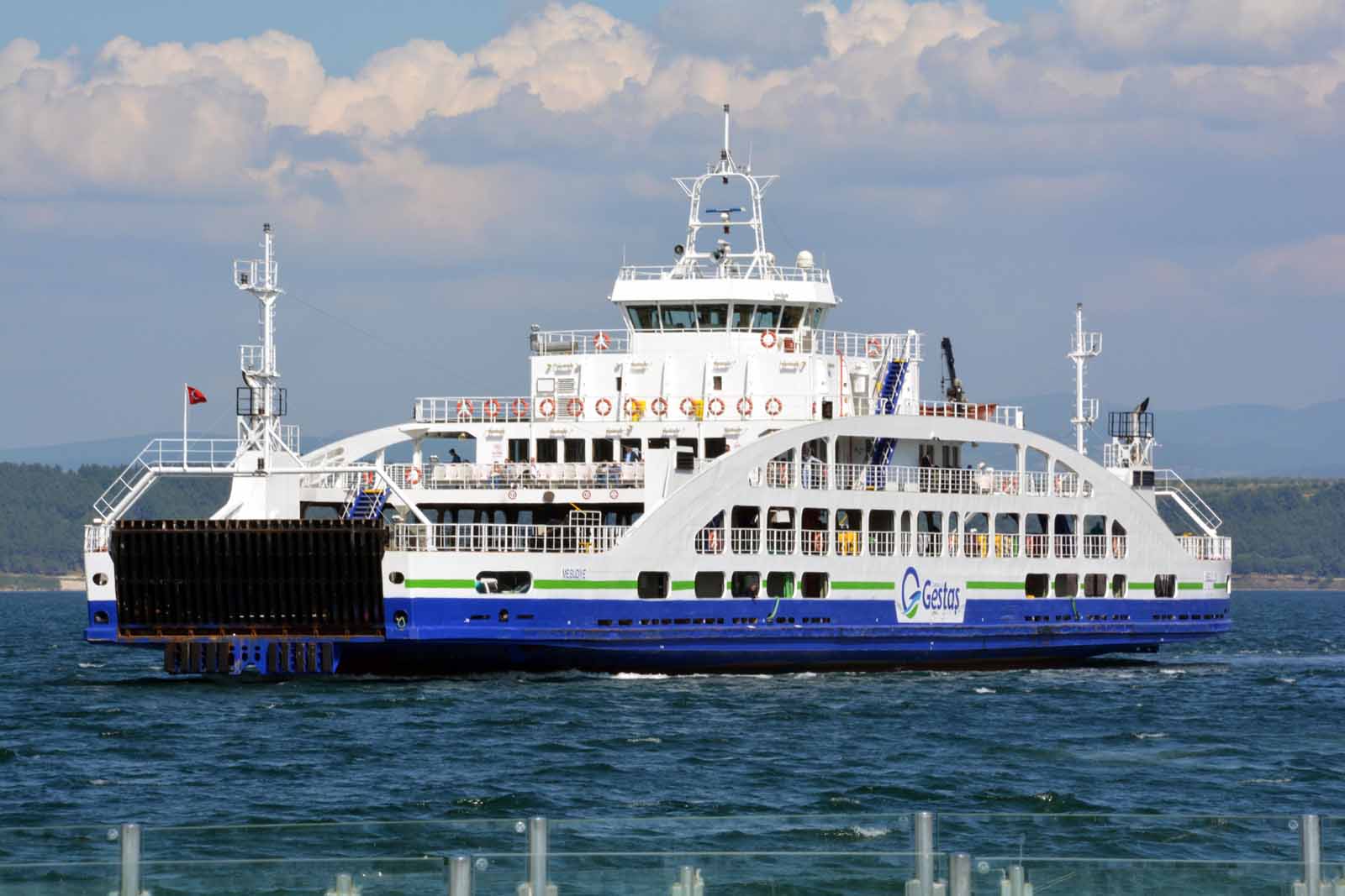
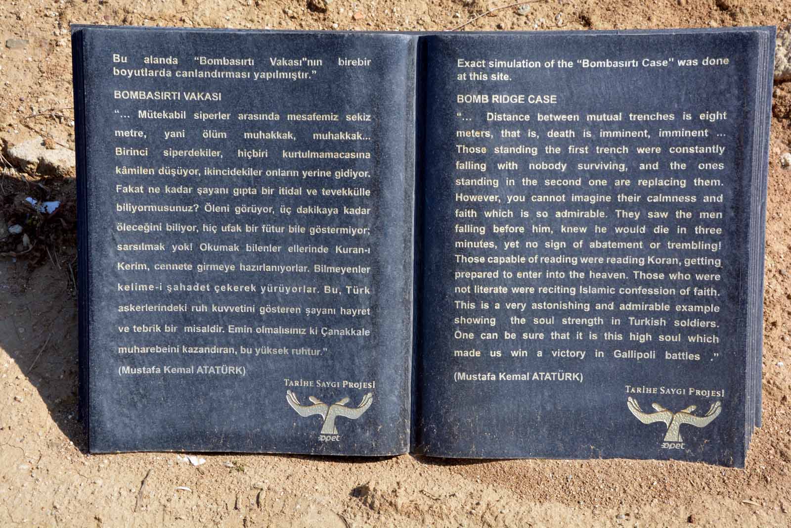
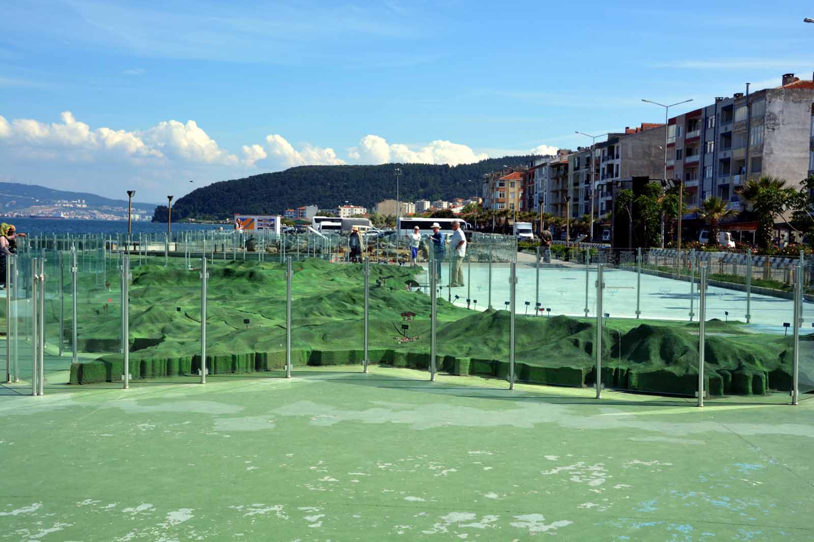
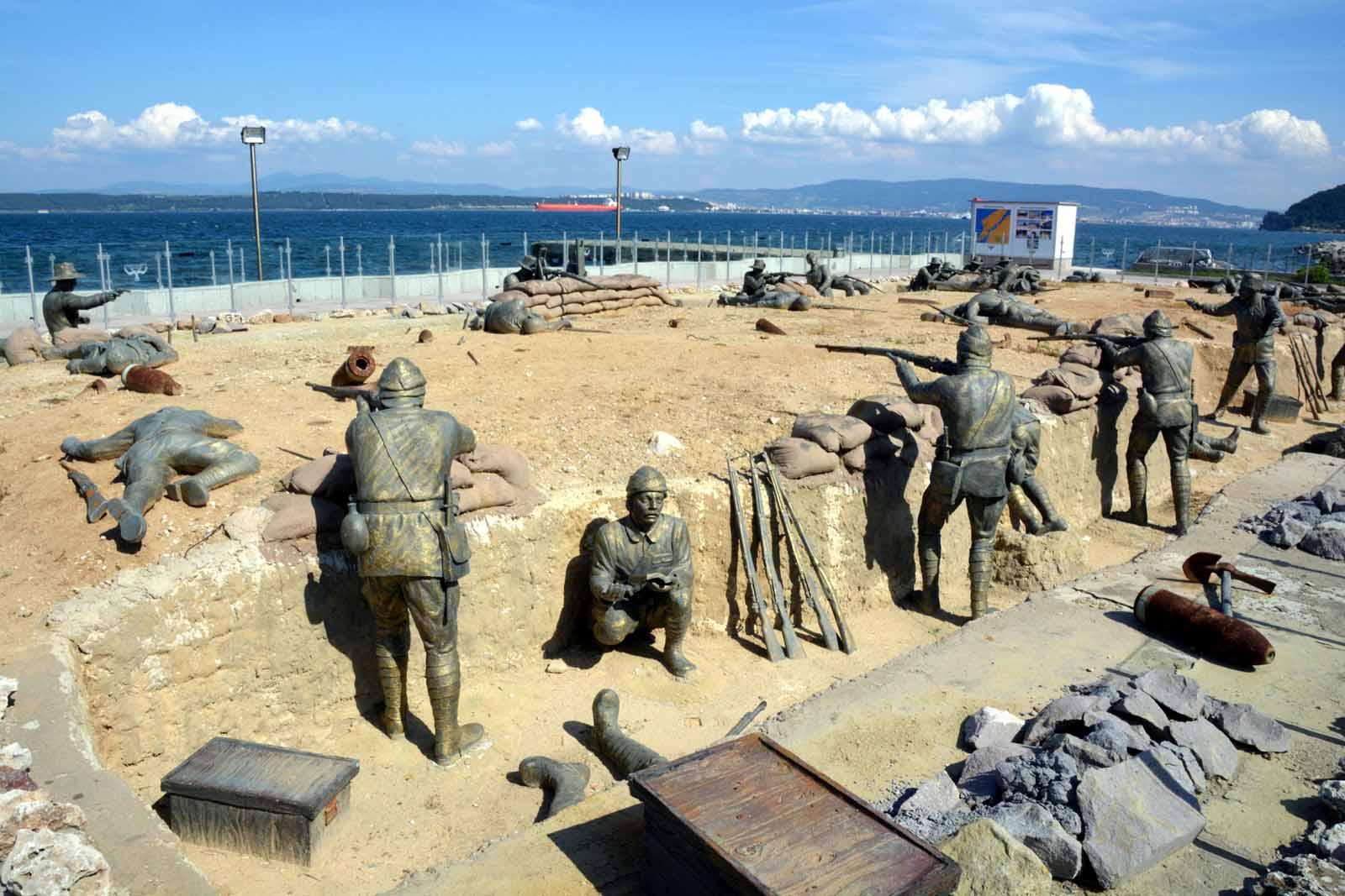
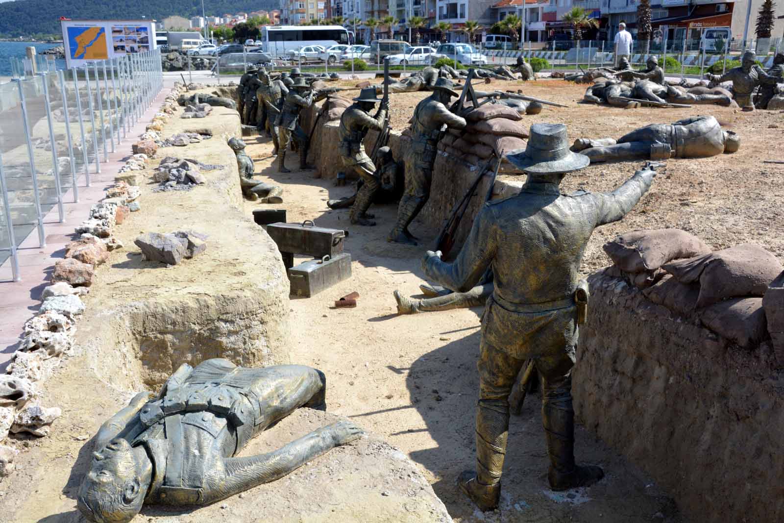
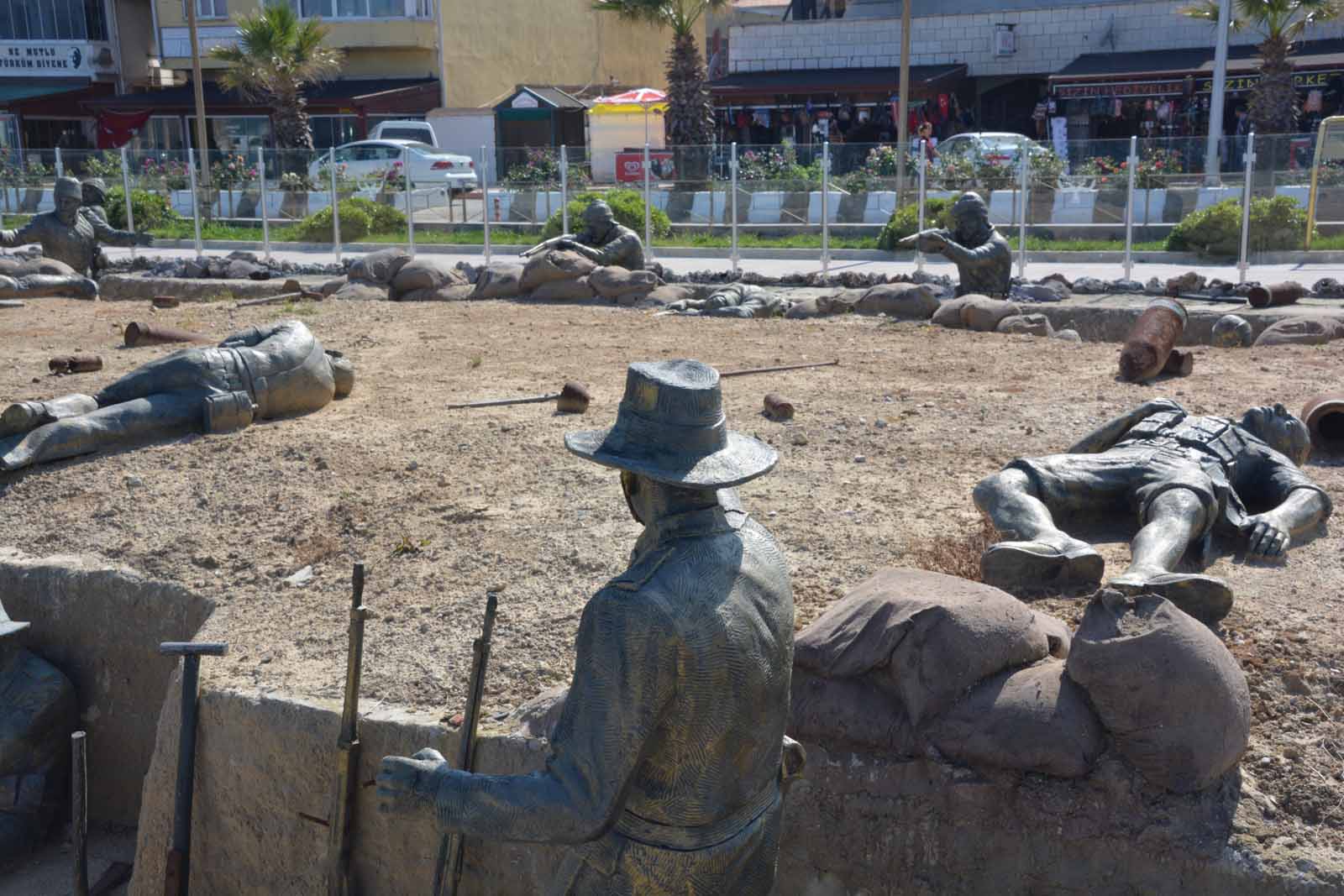
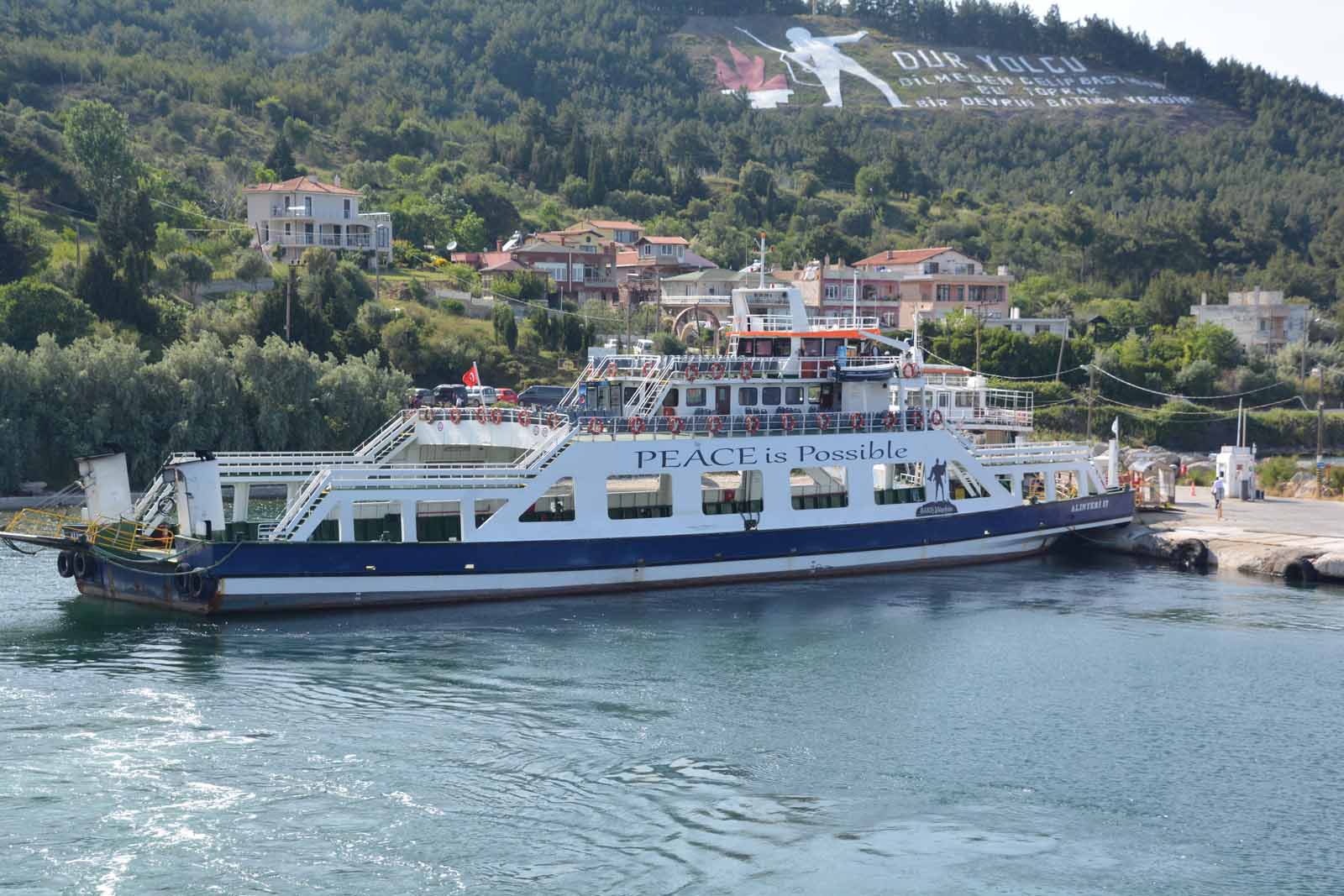
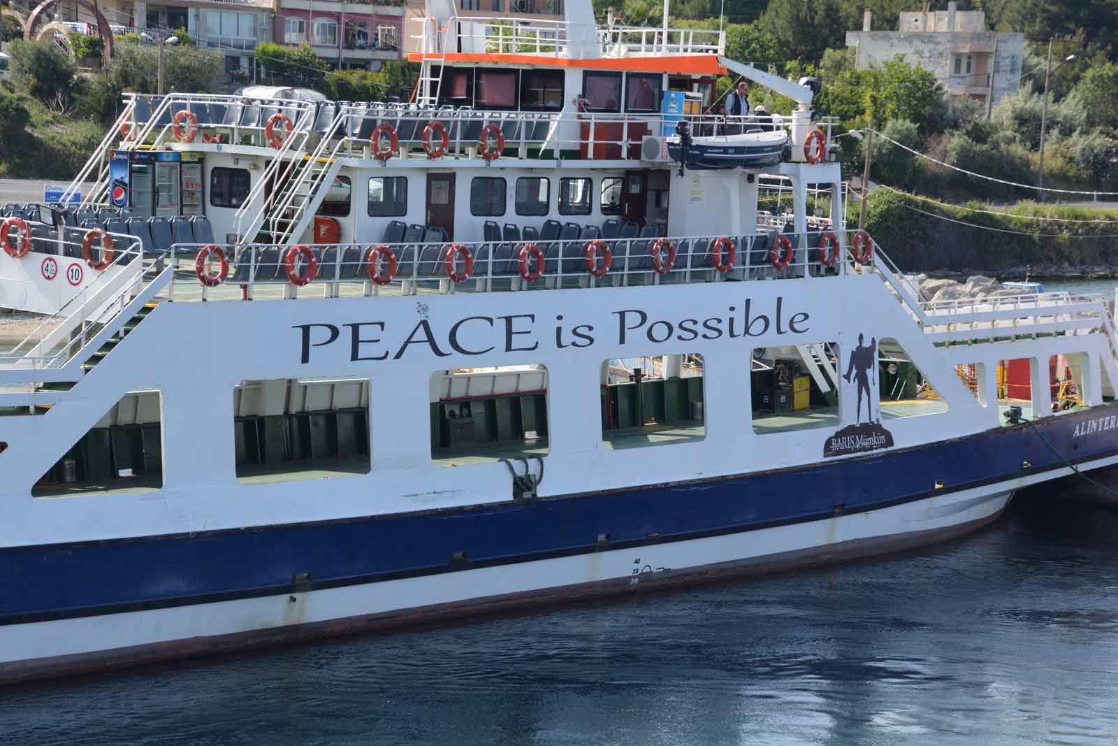
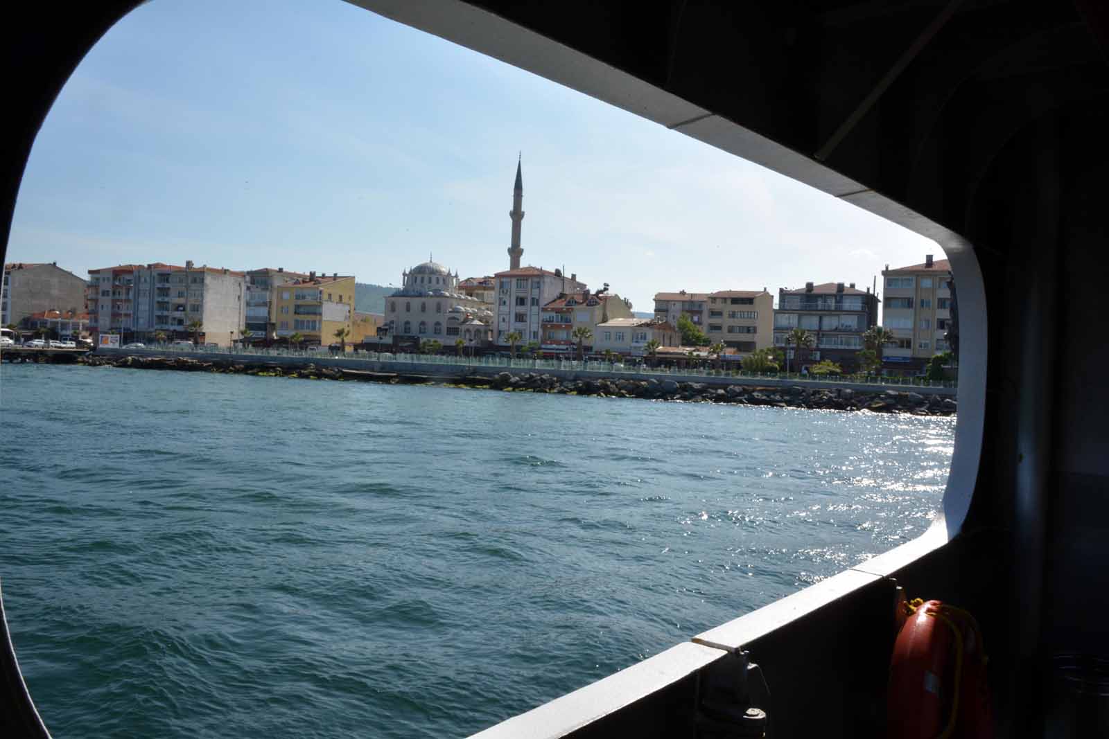
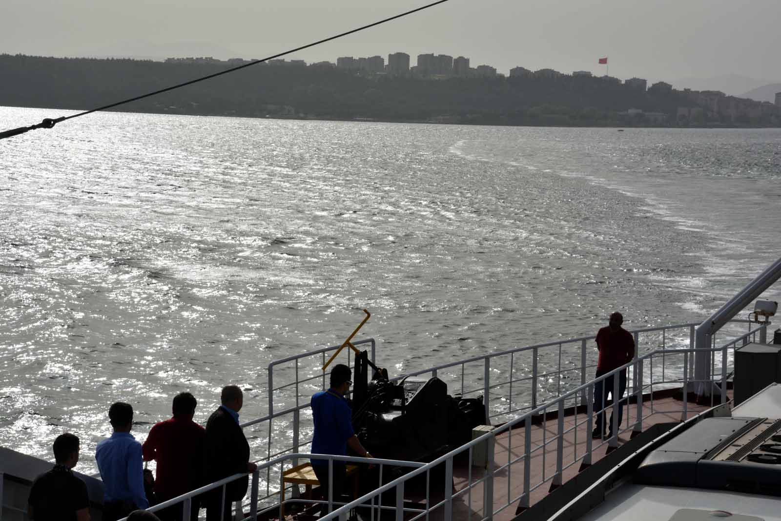
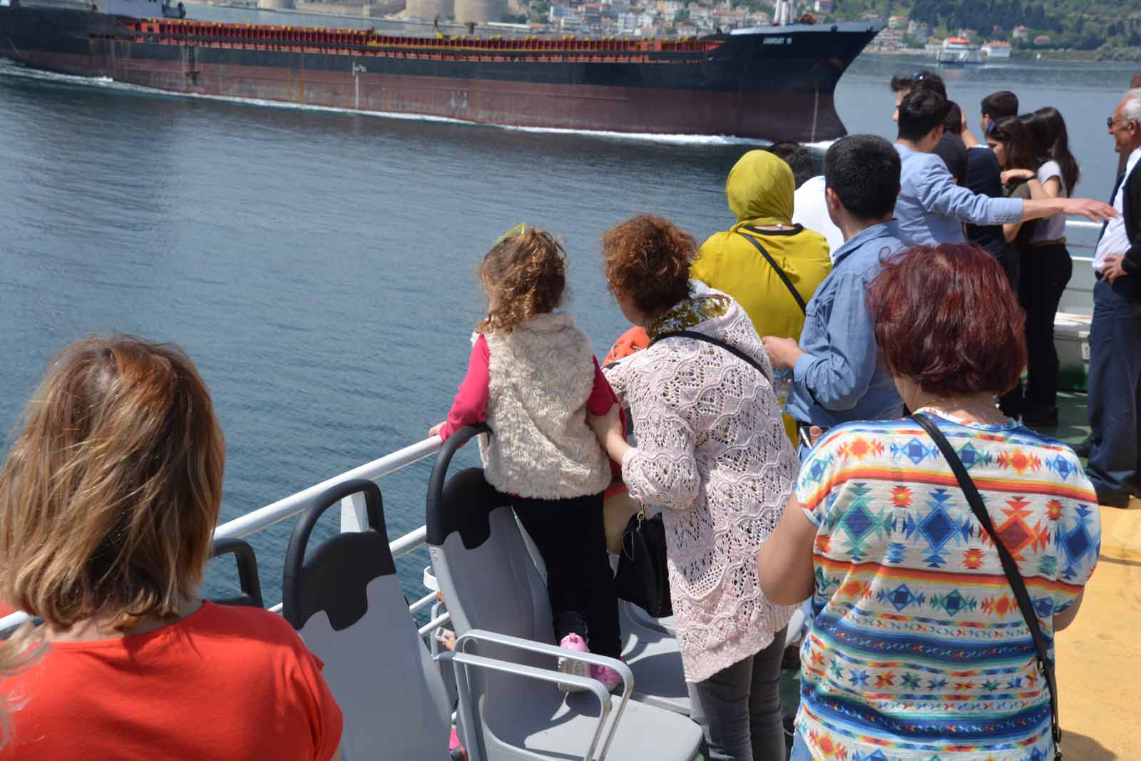
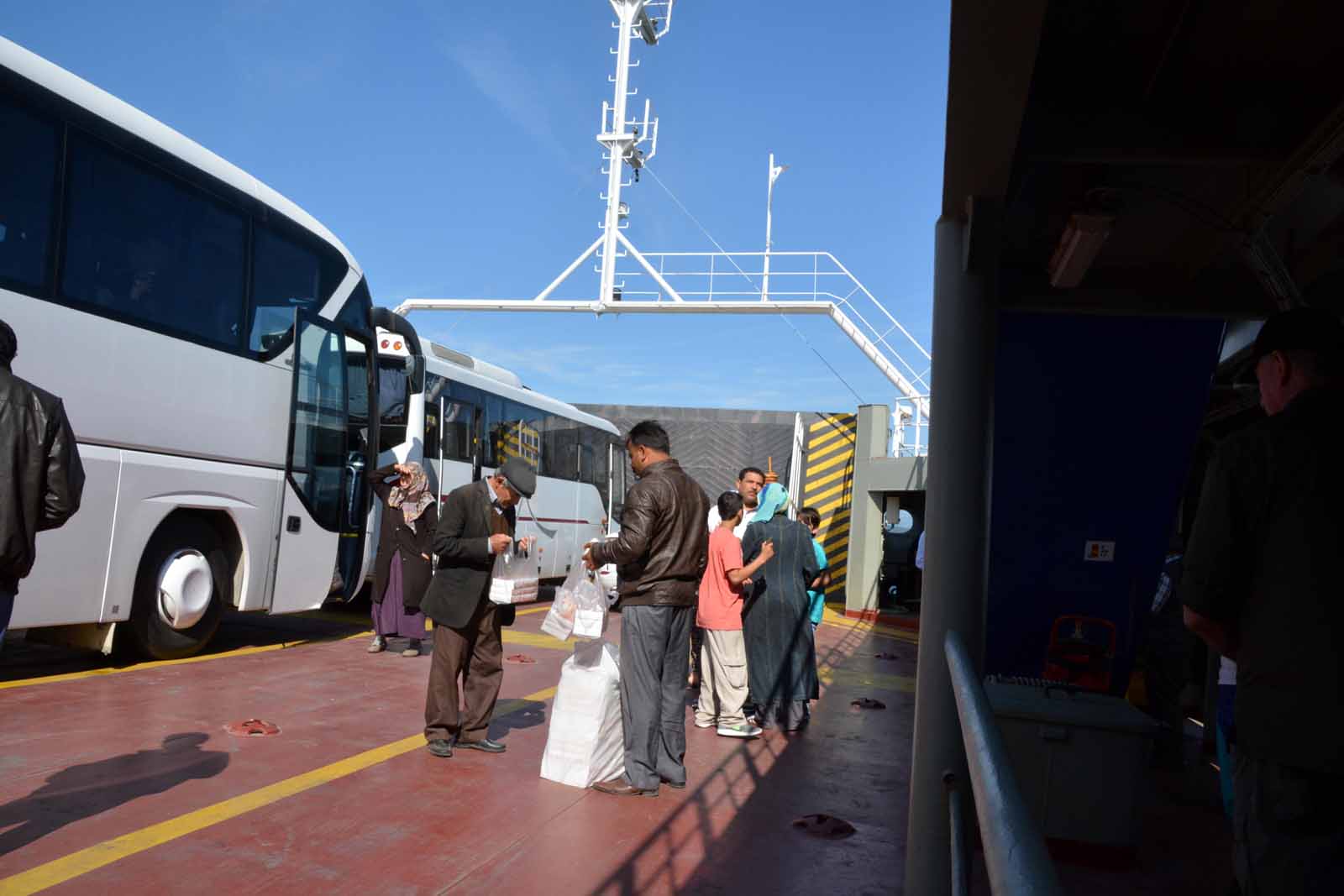
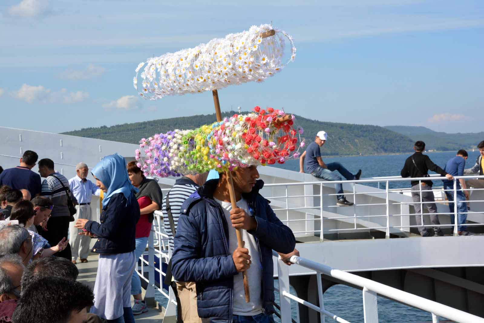
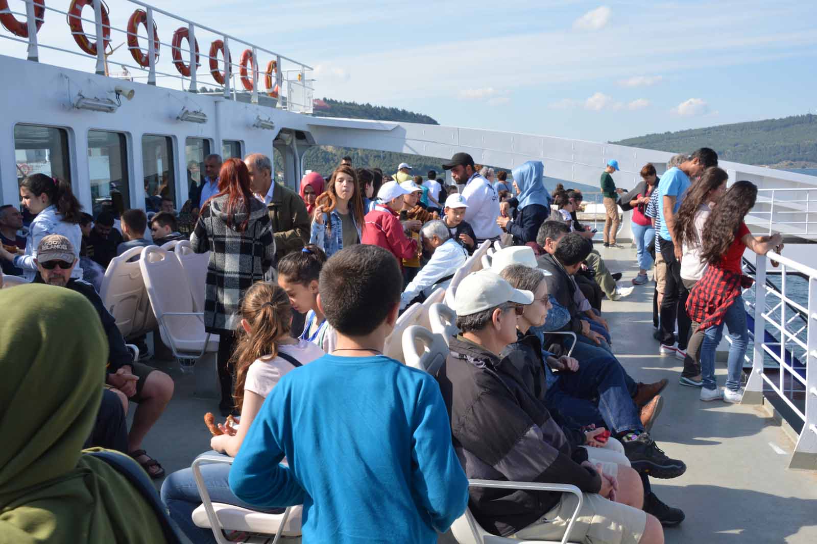
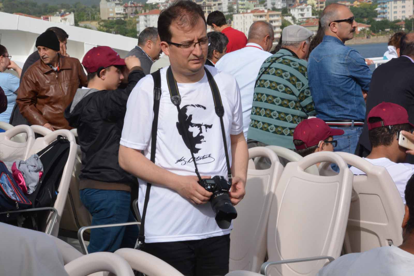
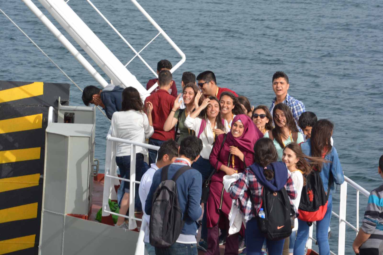
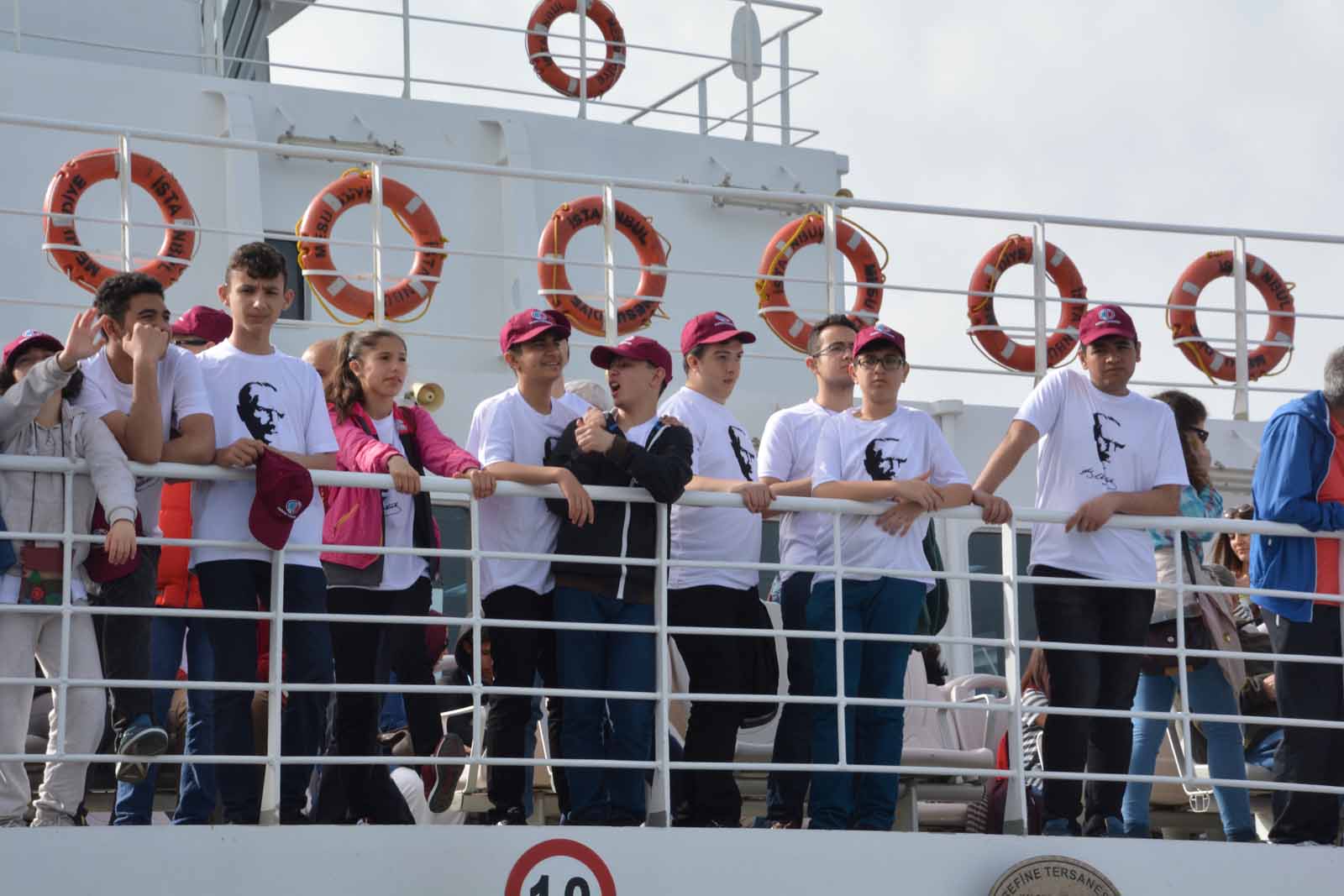
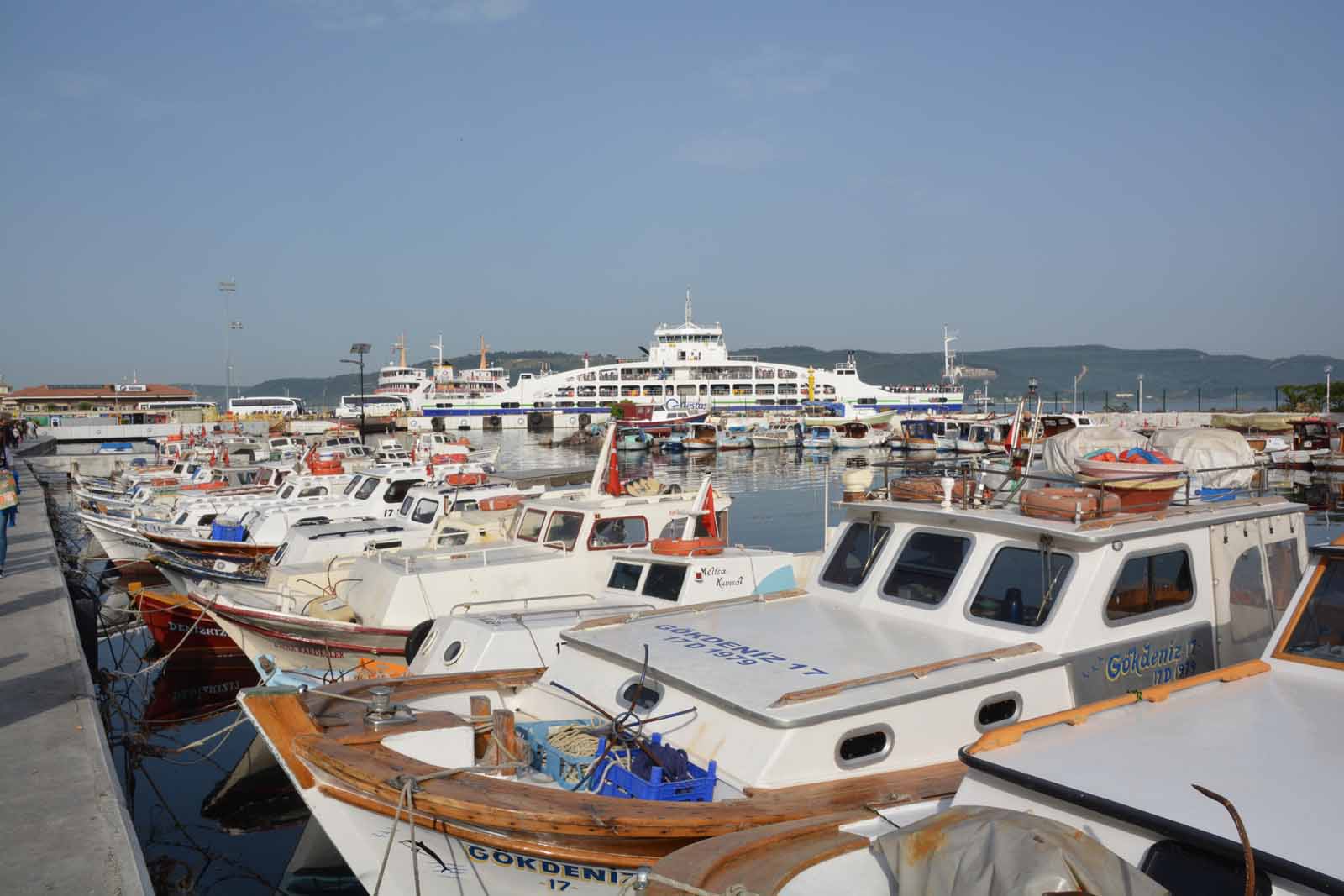
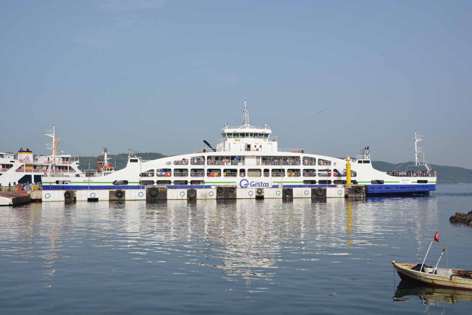
Eceabat and the ferry across to CannakaleThere is vey little accommodation for visitors on the Gallipoli Peninsula, so most tourists cross over the strait on the car ferry from Eceabat to the town of Cannakale. We stayed here for three nights. Adjacent to the ferry terminal is an interesting diarama depicting the Gallipoli battles. It was built for the centenary celebrations in 2015. The ferry takes about 30 minutes to cross and on each trip it was crowded with school parties.
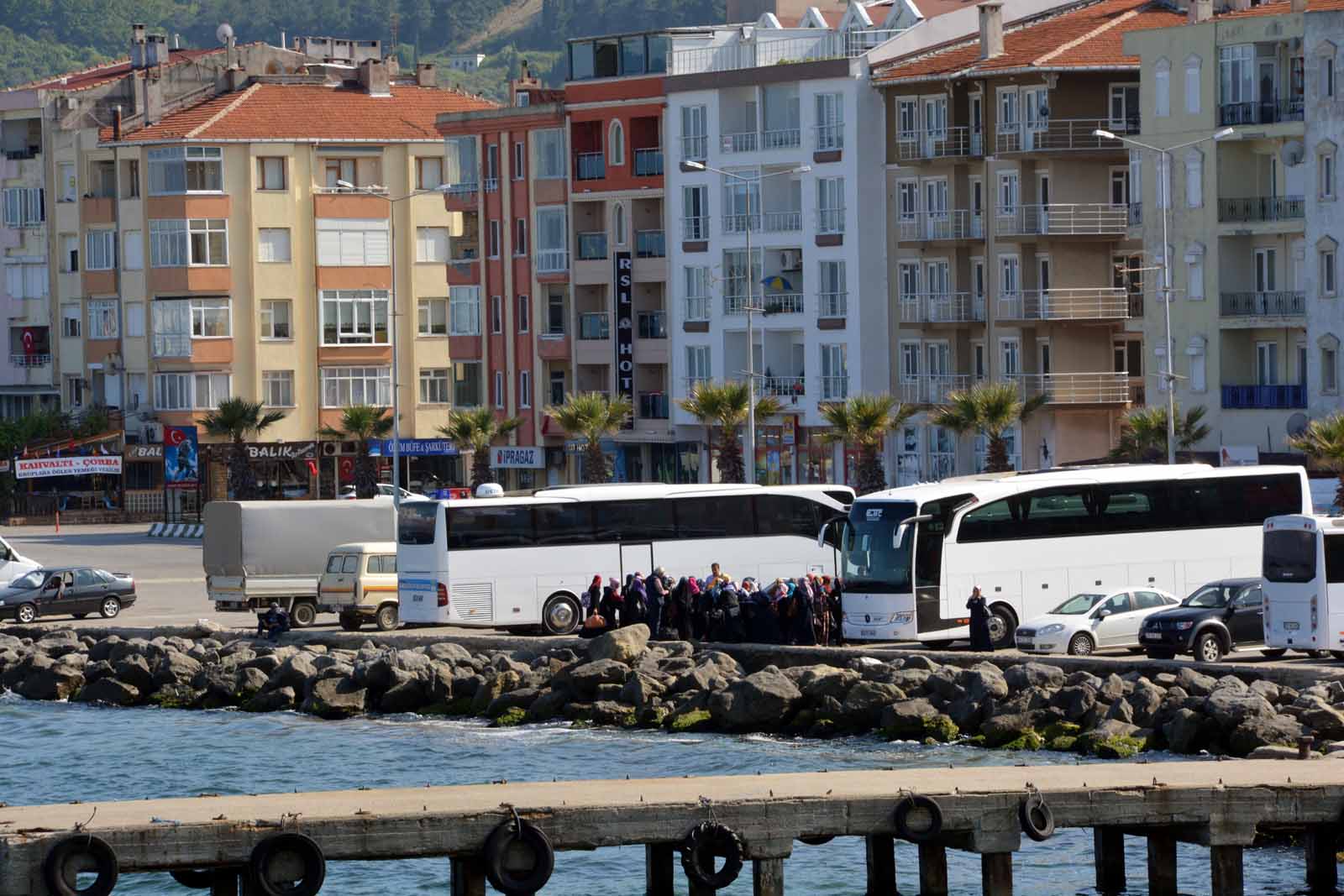
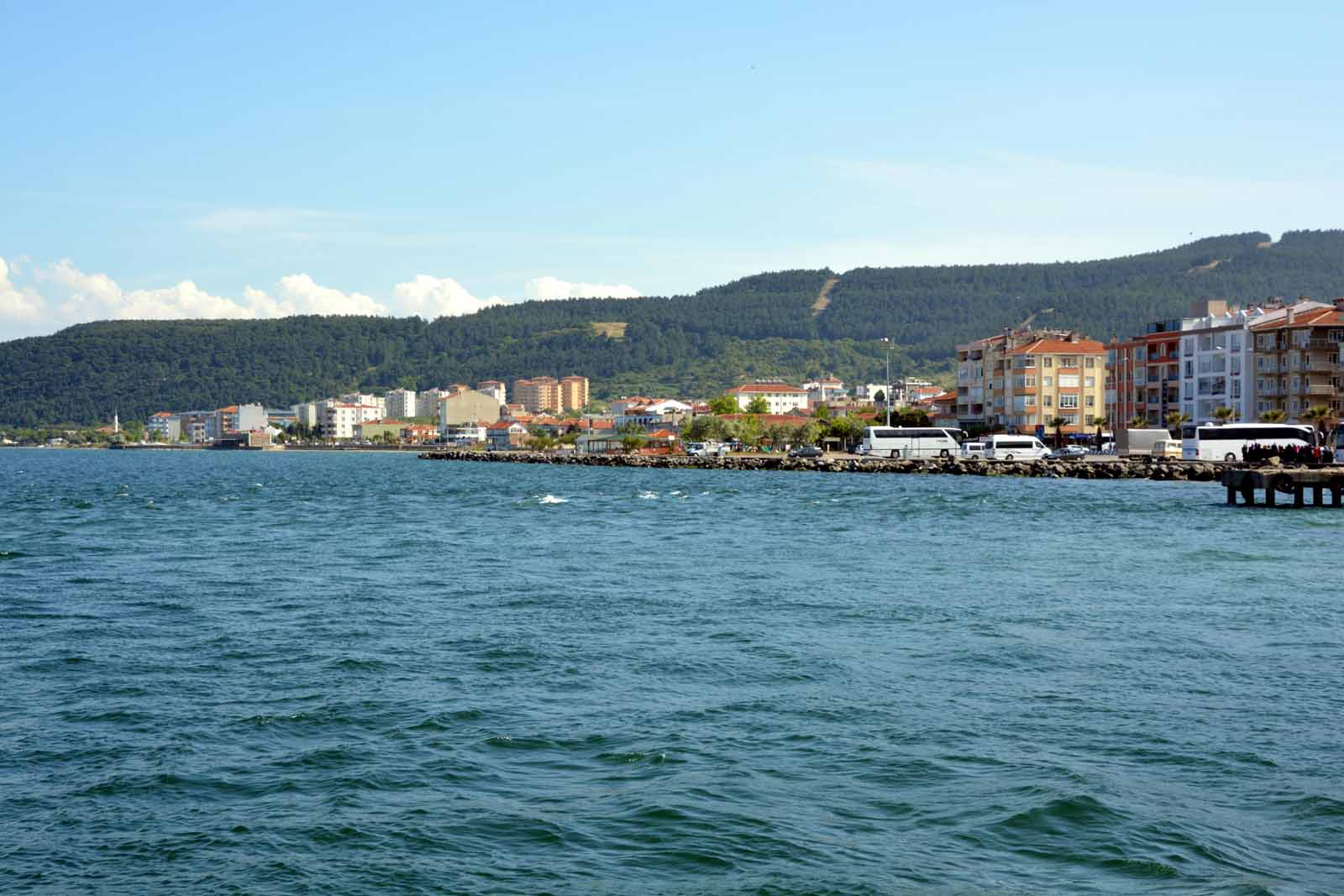
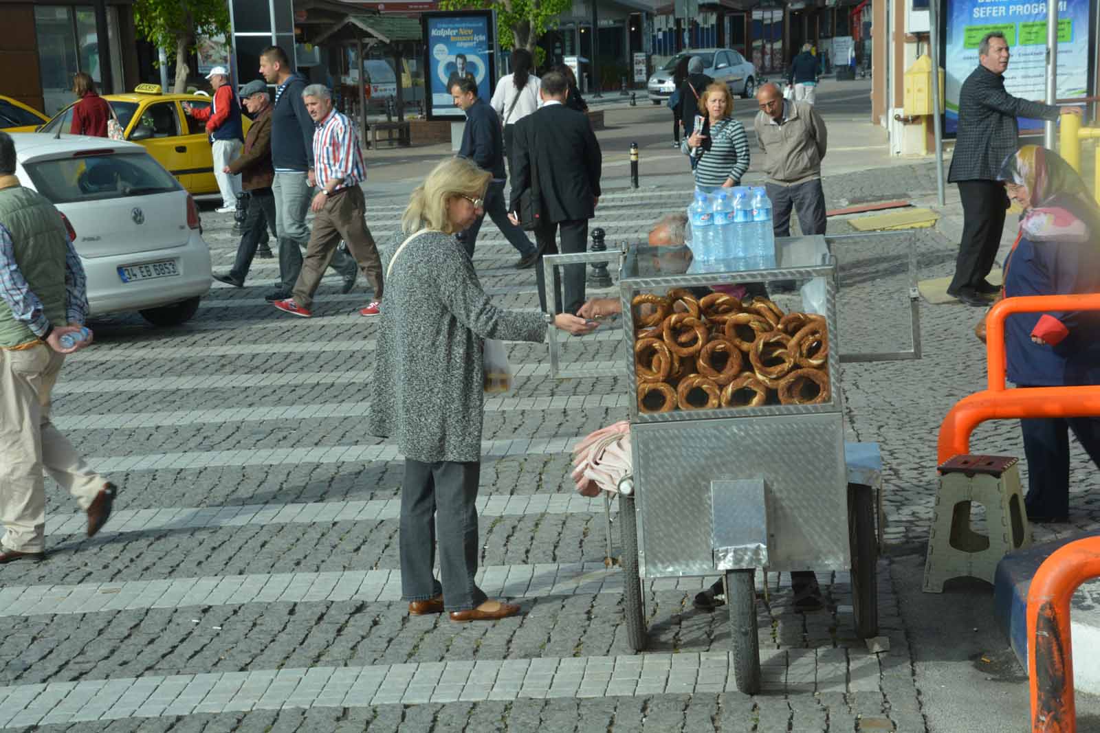
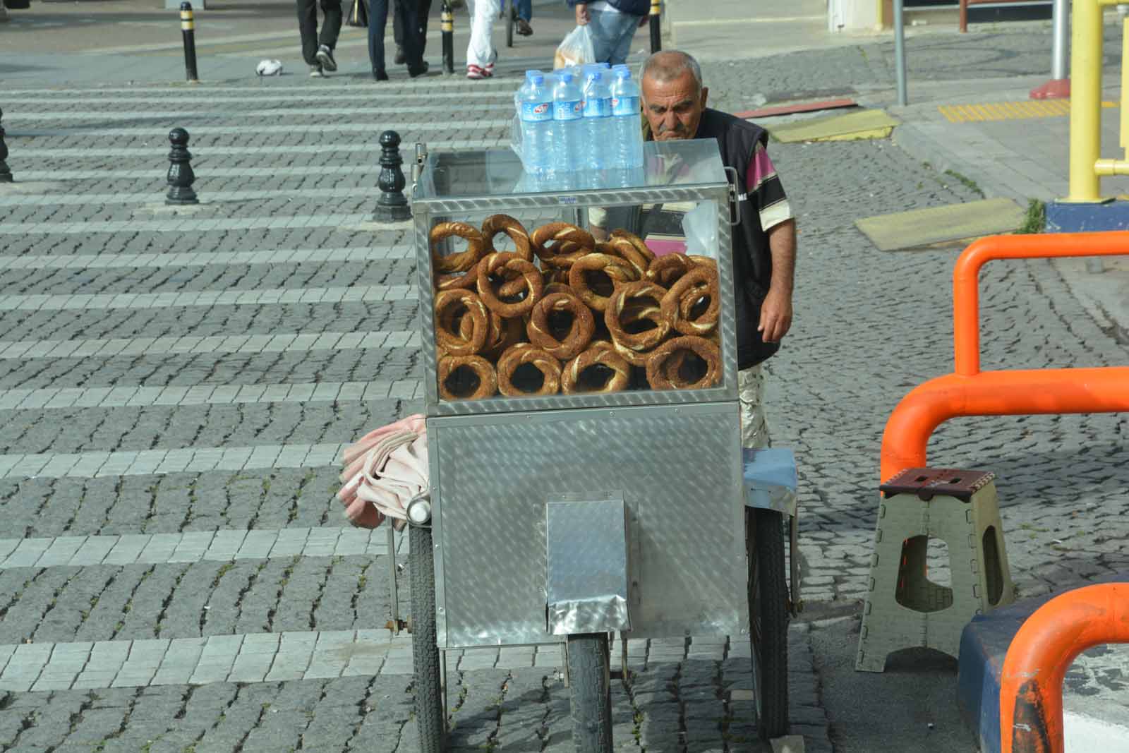
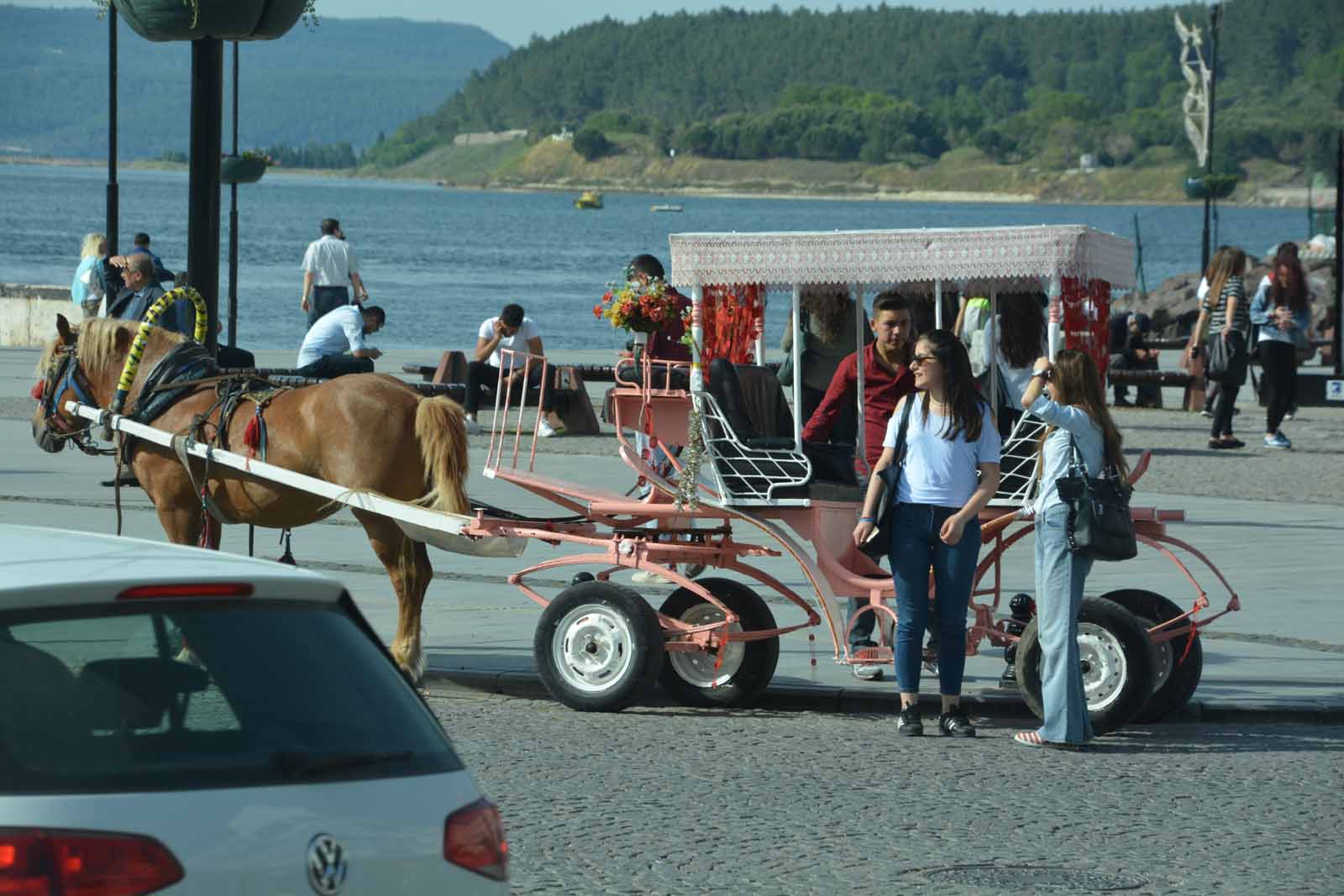
The waterfront at Cannakale
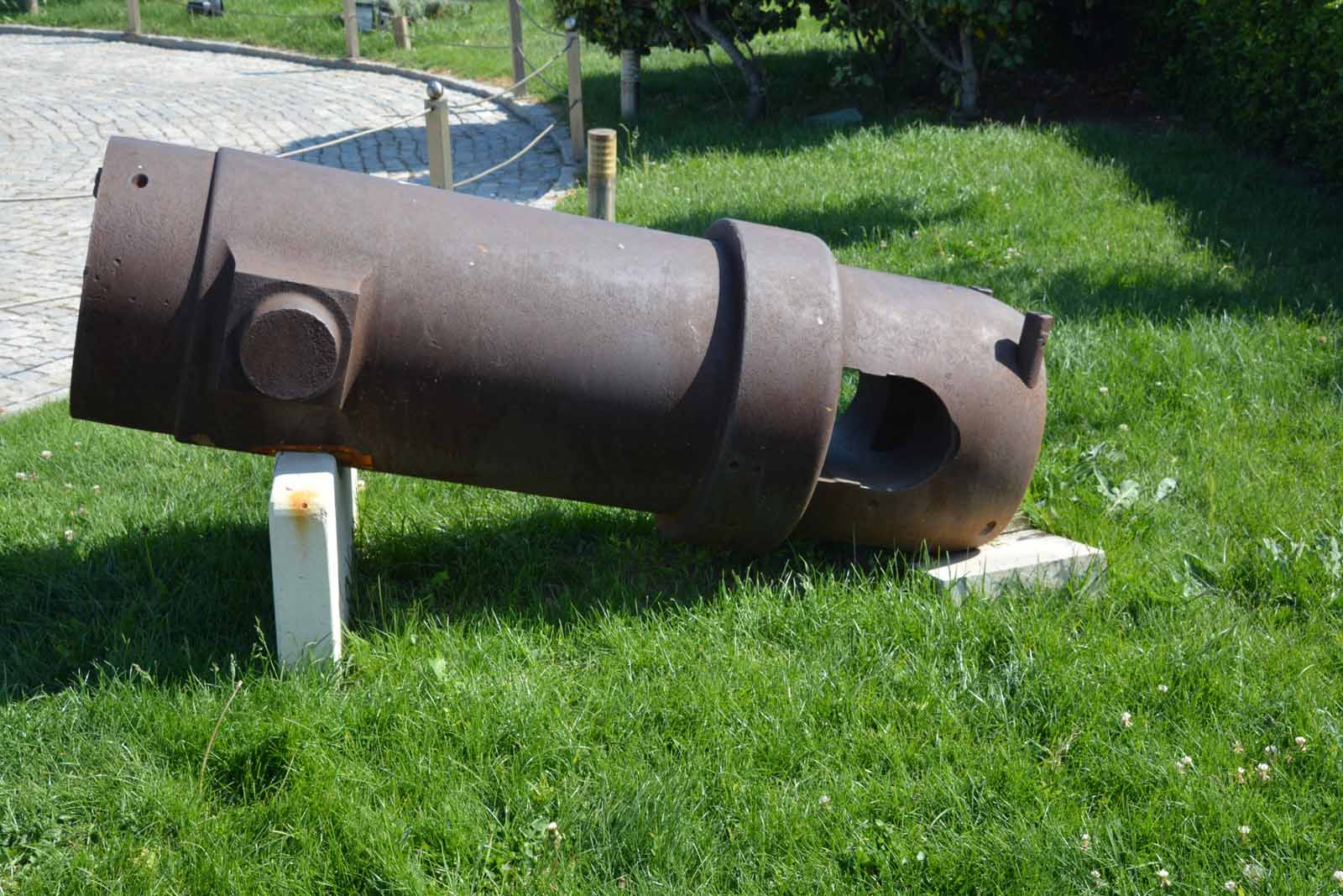
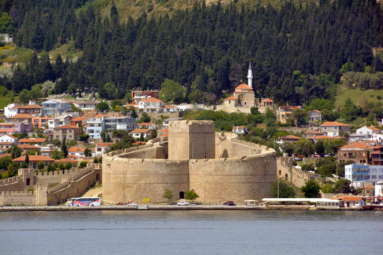
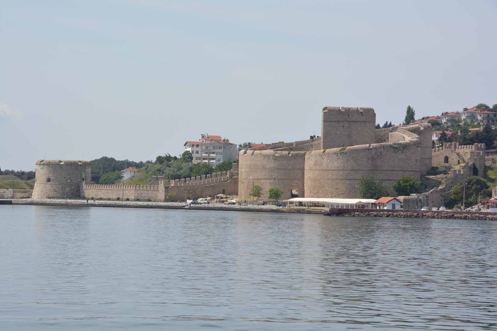
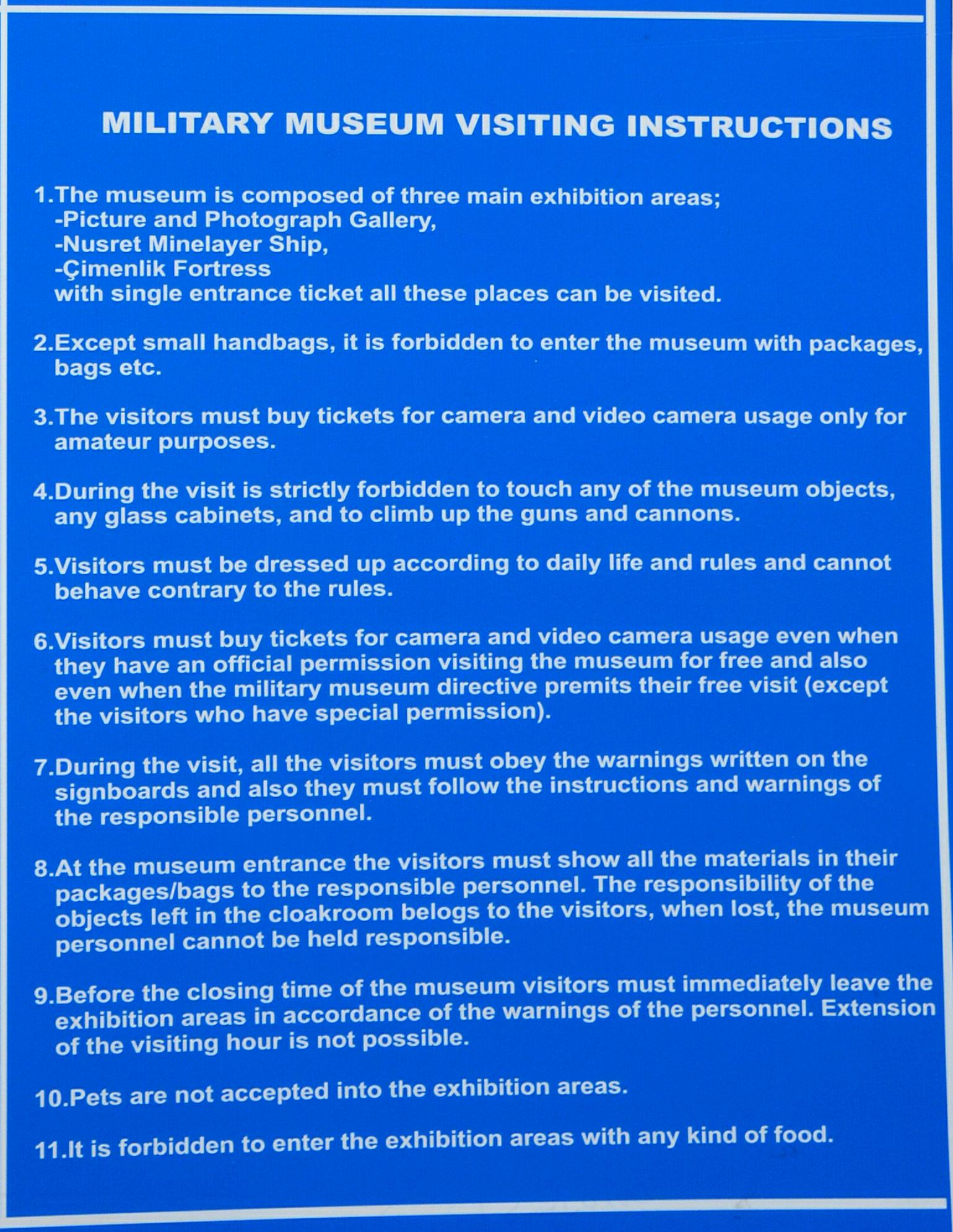
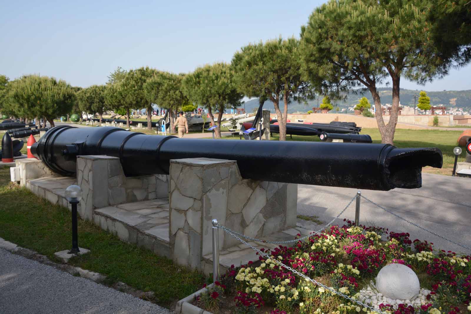
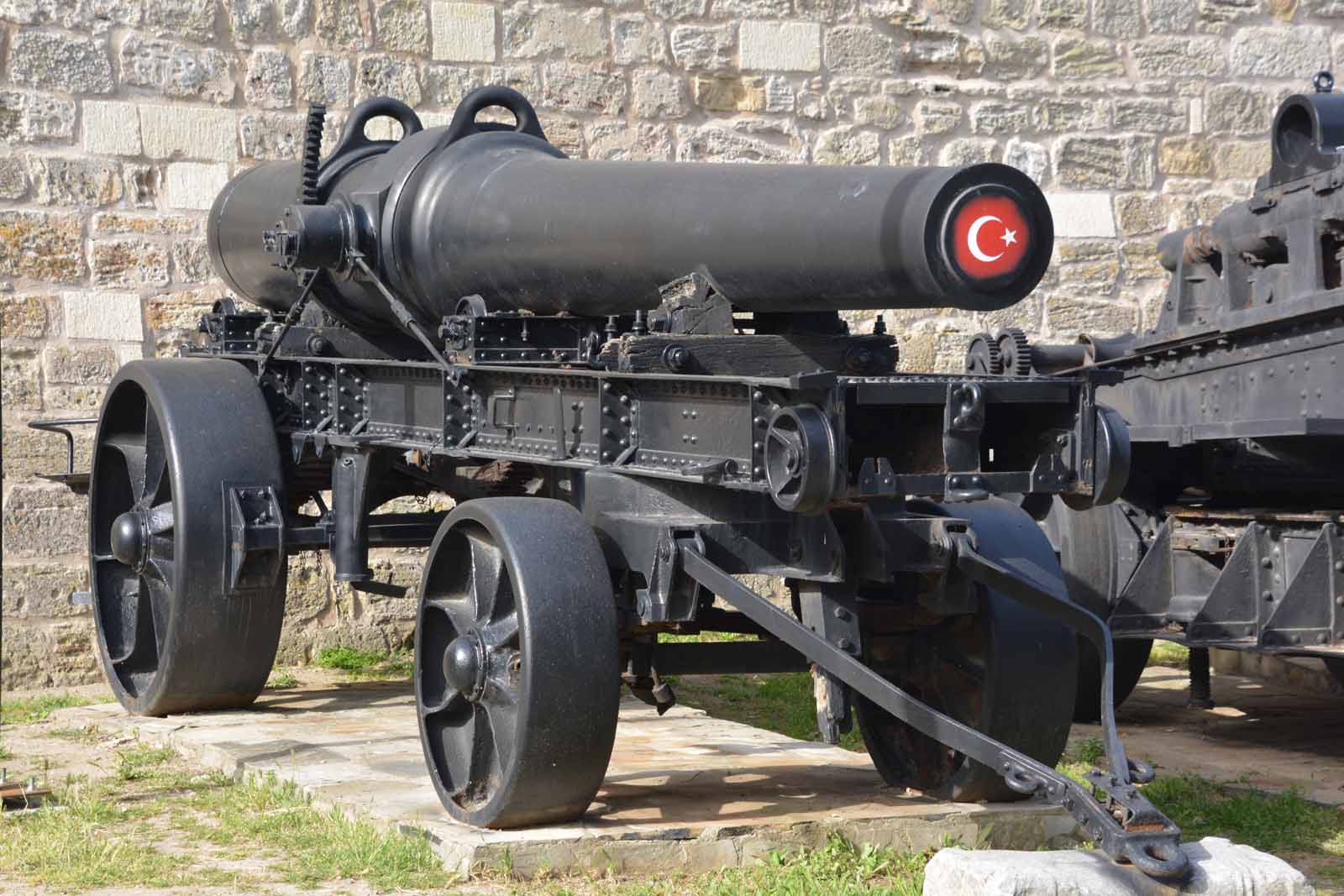
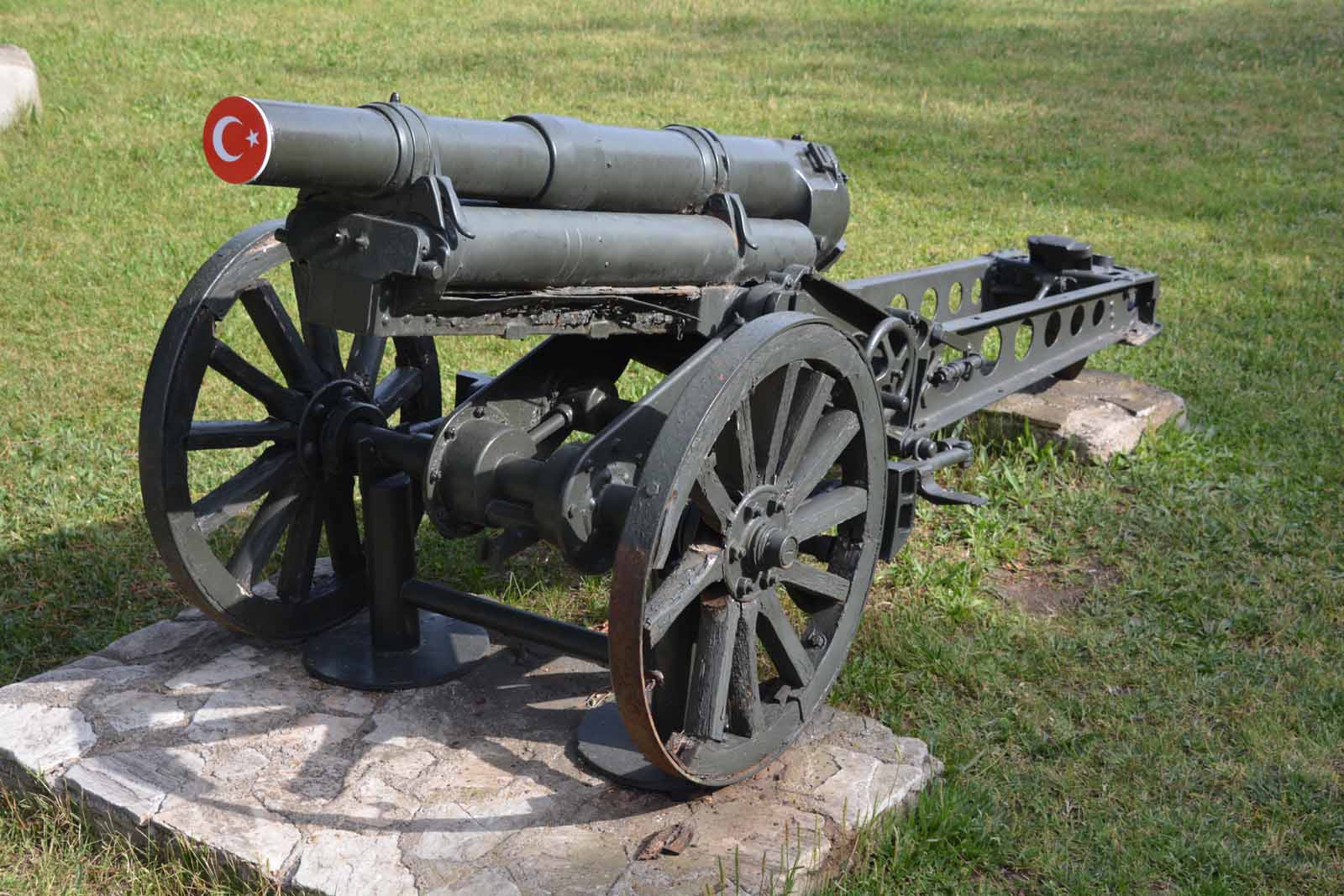
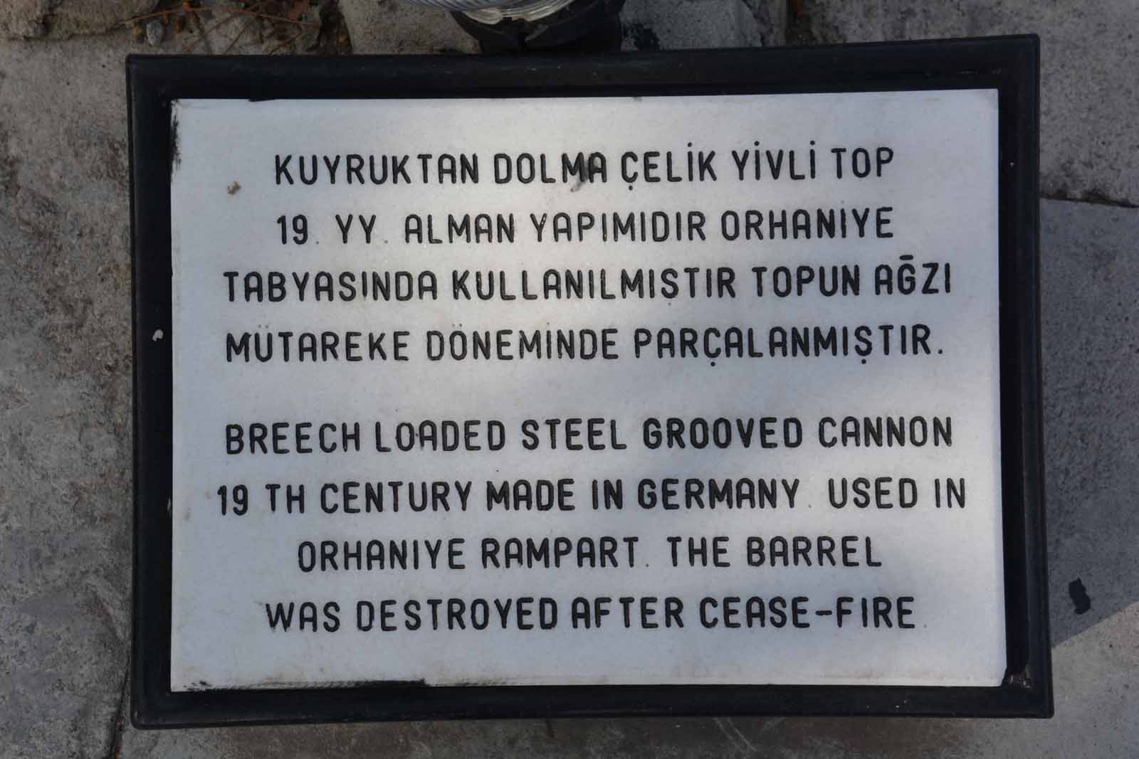
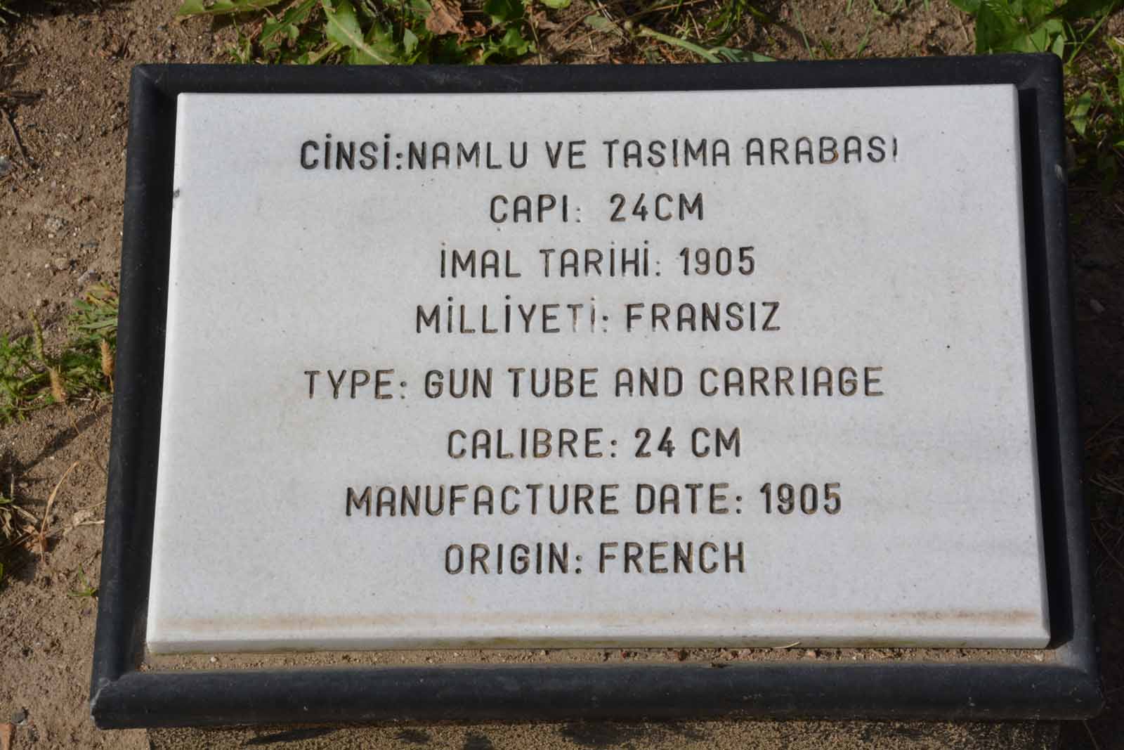
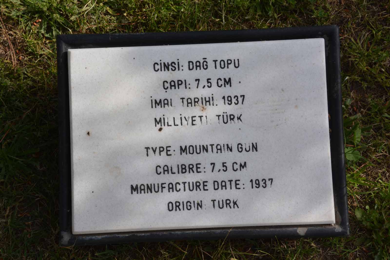
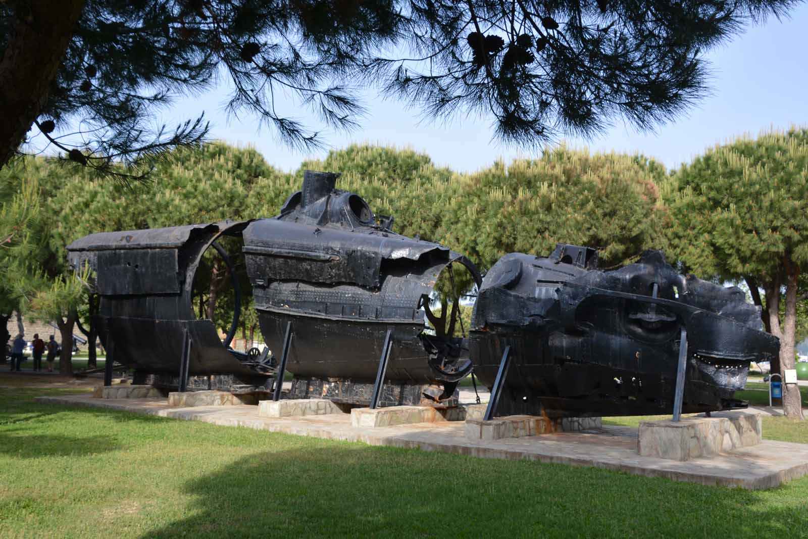
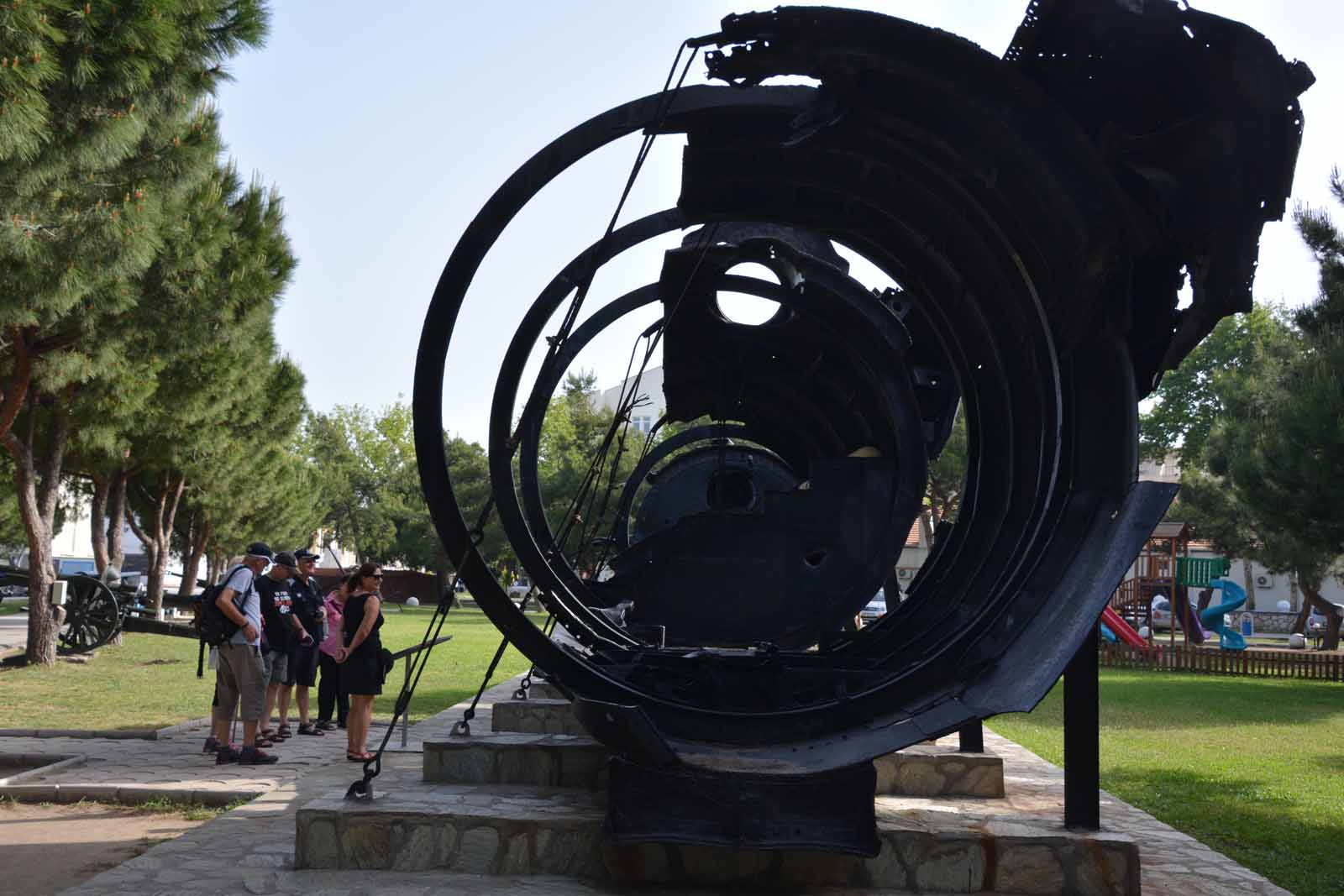
Naval Museum - CannakaleIn Cannakale is the old Cimenlik Castle, now a naval museum. It has an interesting collection of antique military hardware, including the remains of a German submarine.
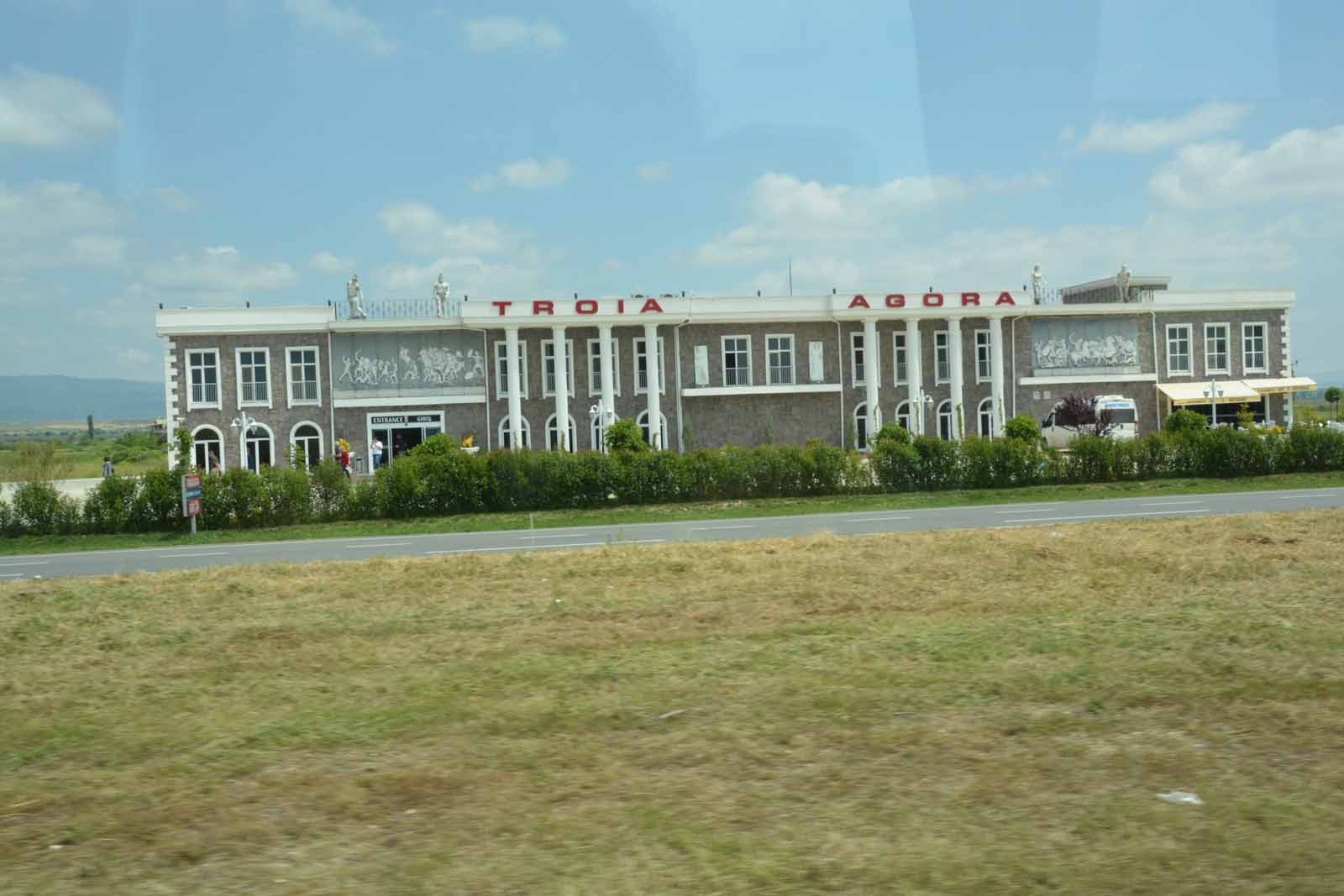
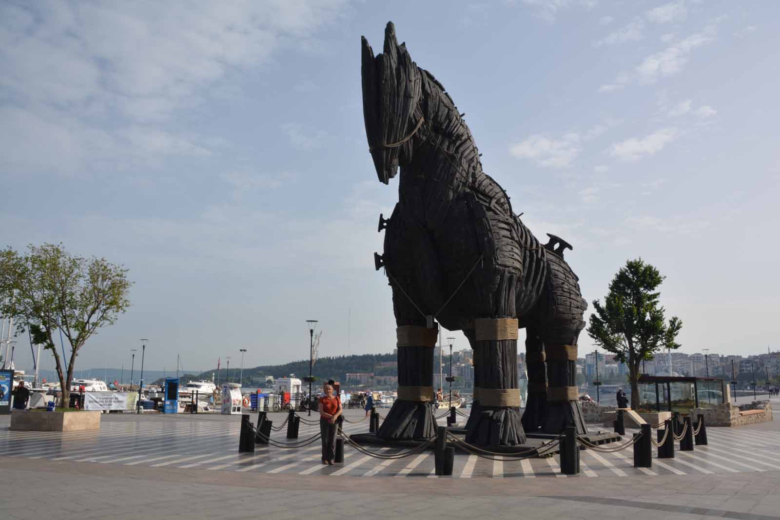
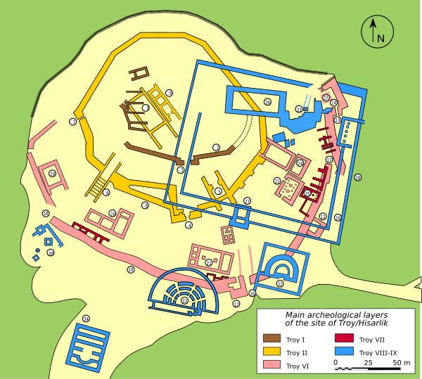
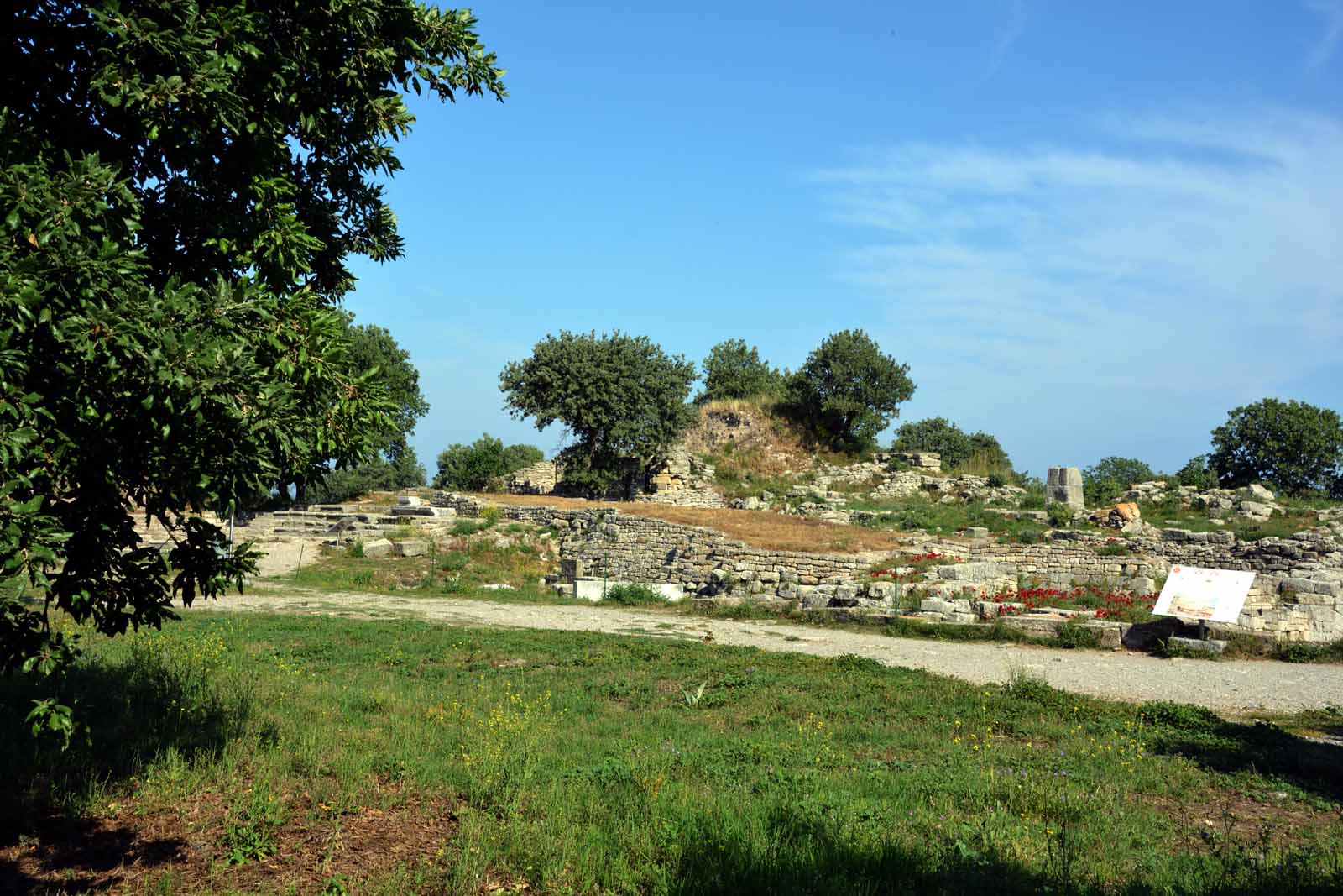
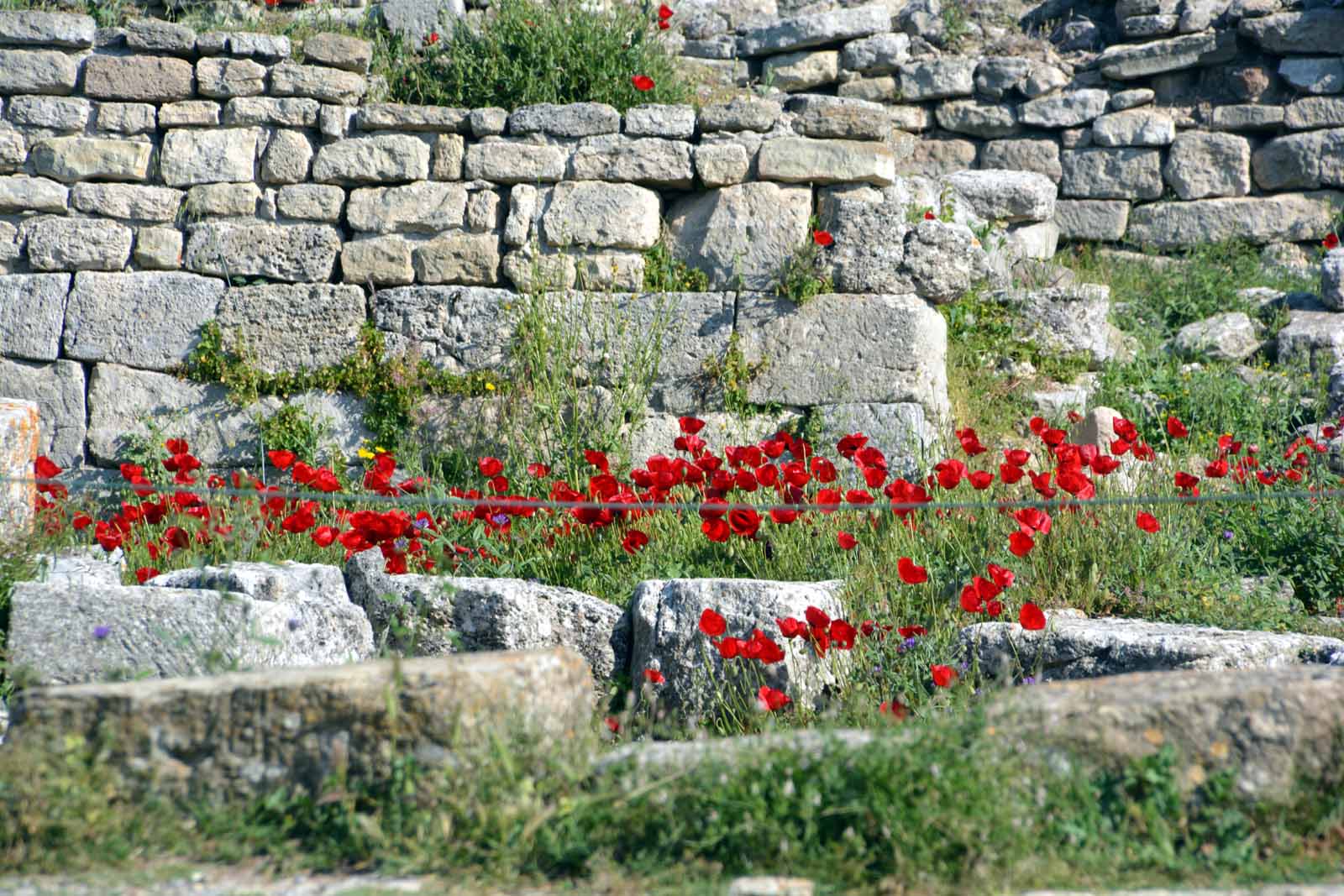
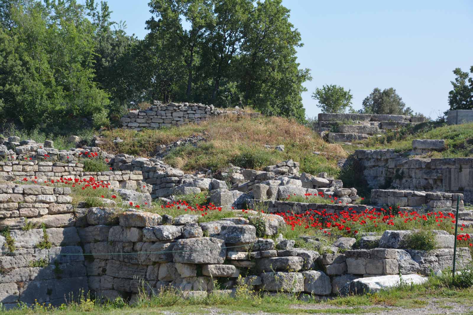
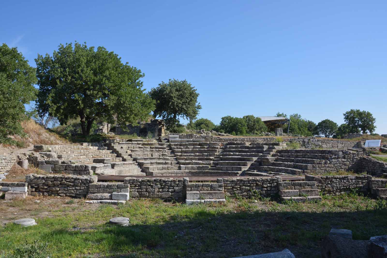
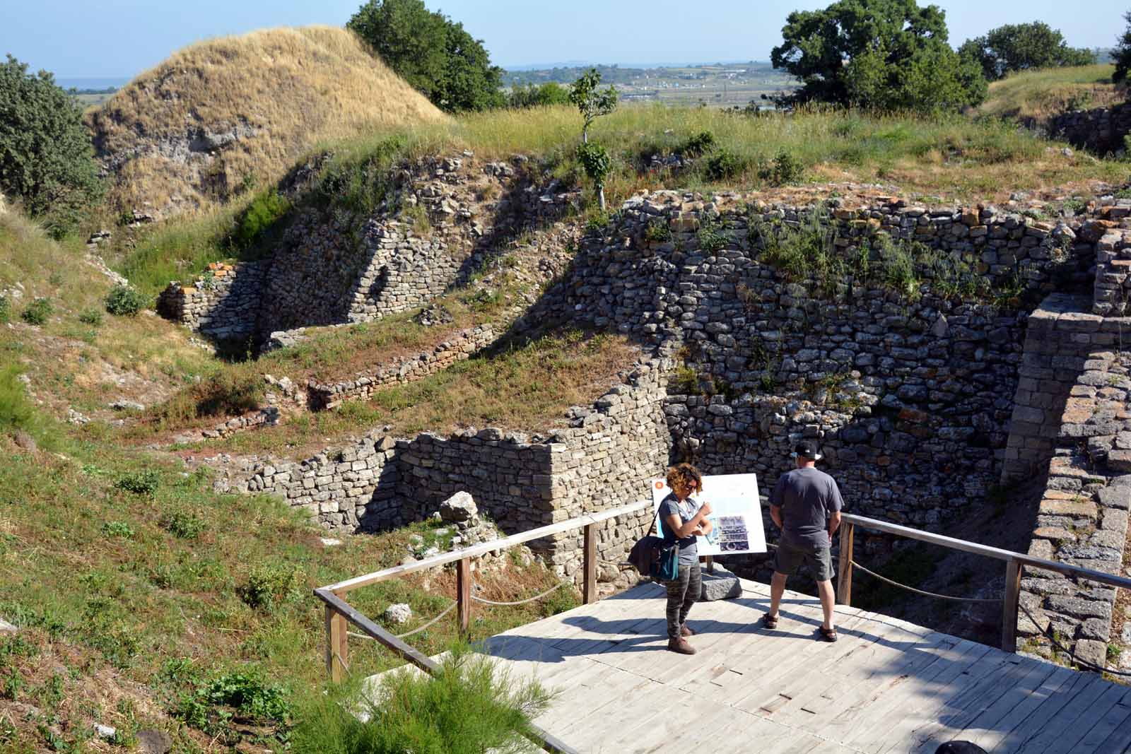
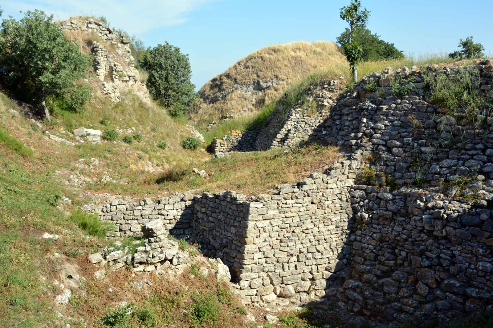
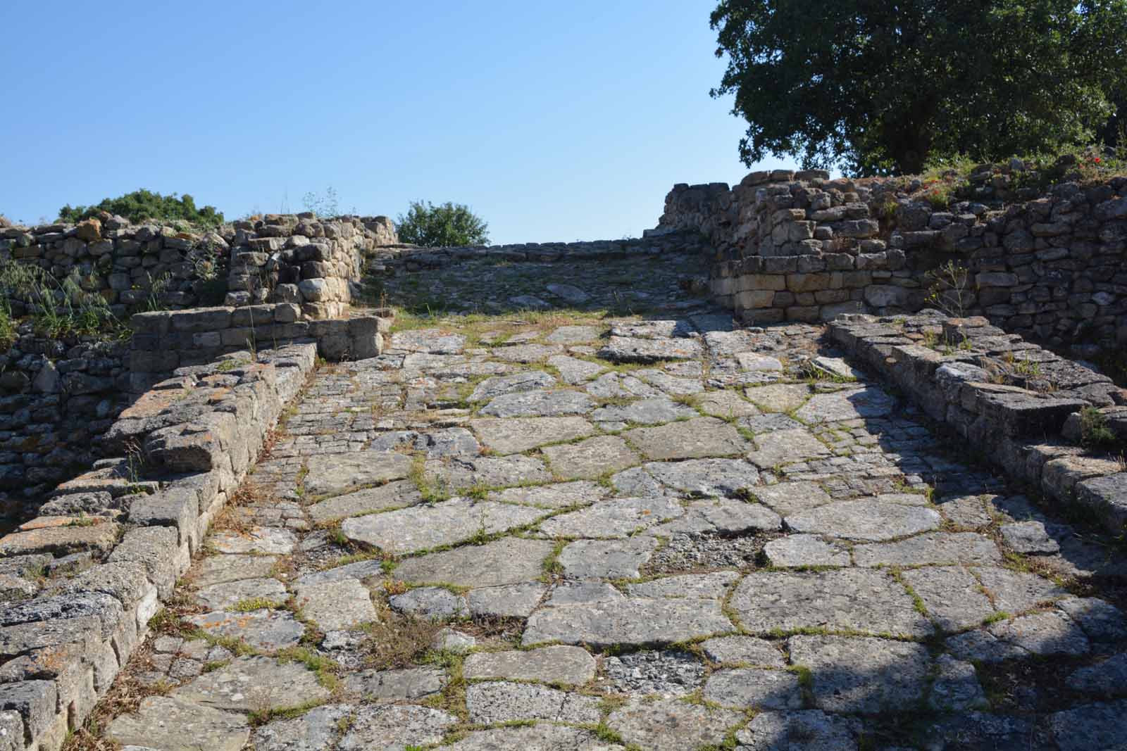
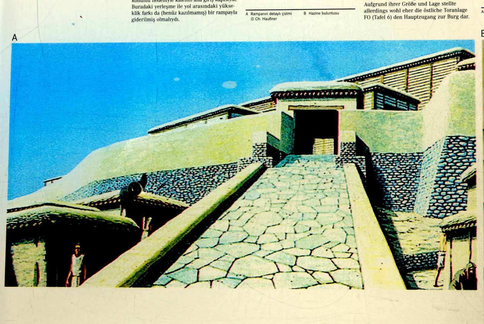
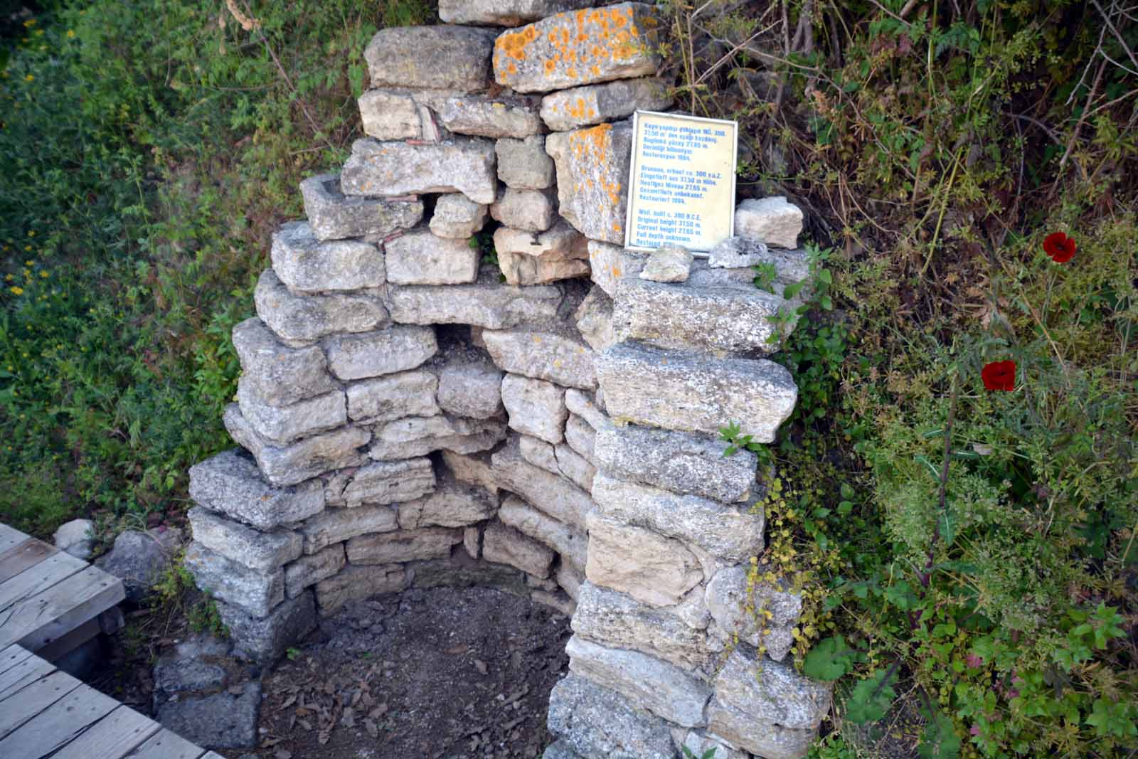
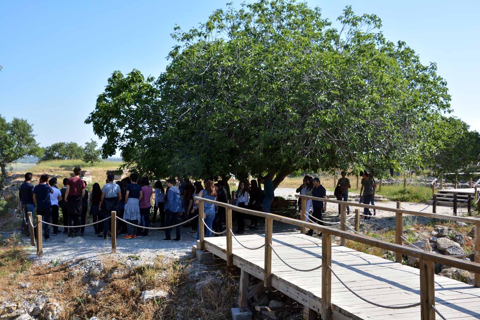
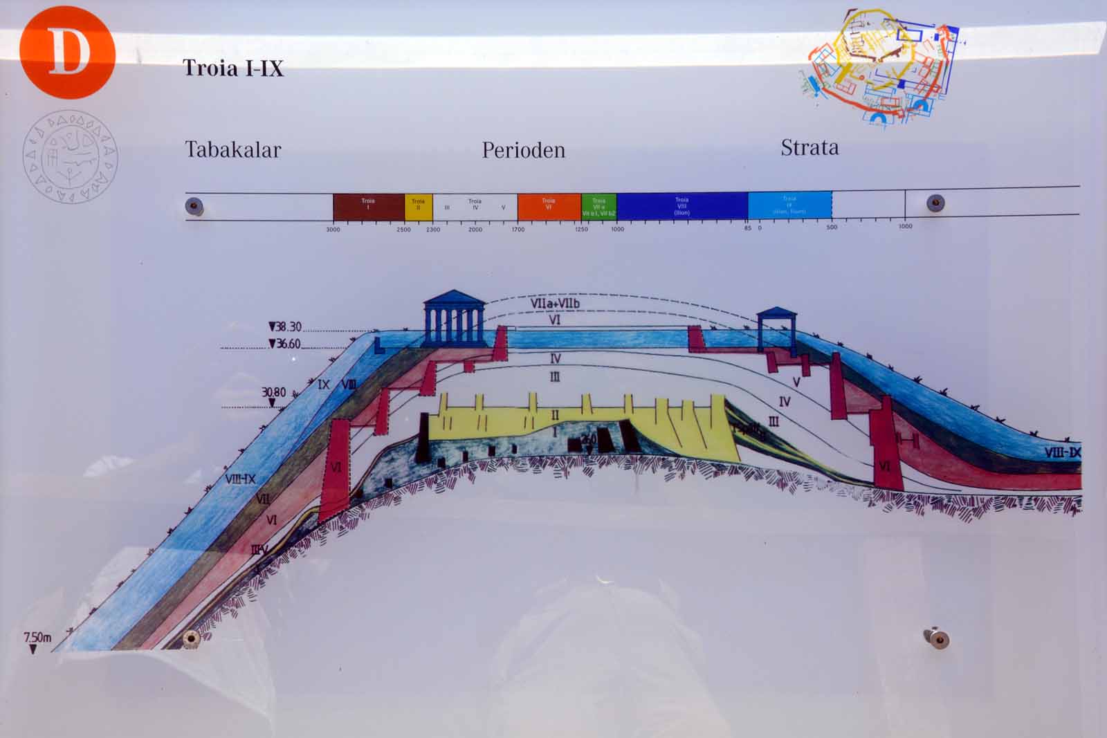
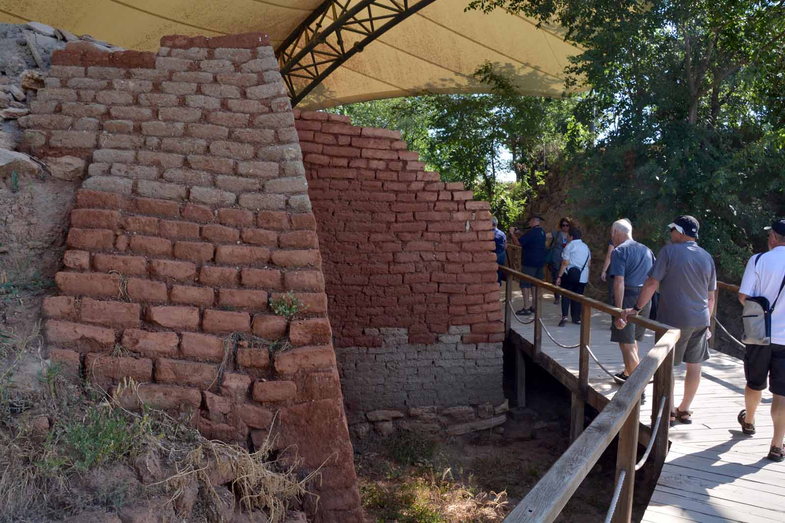
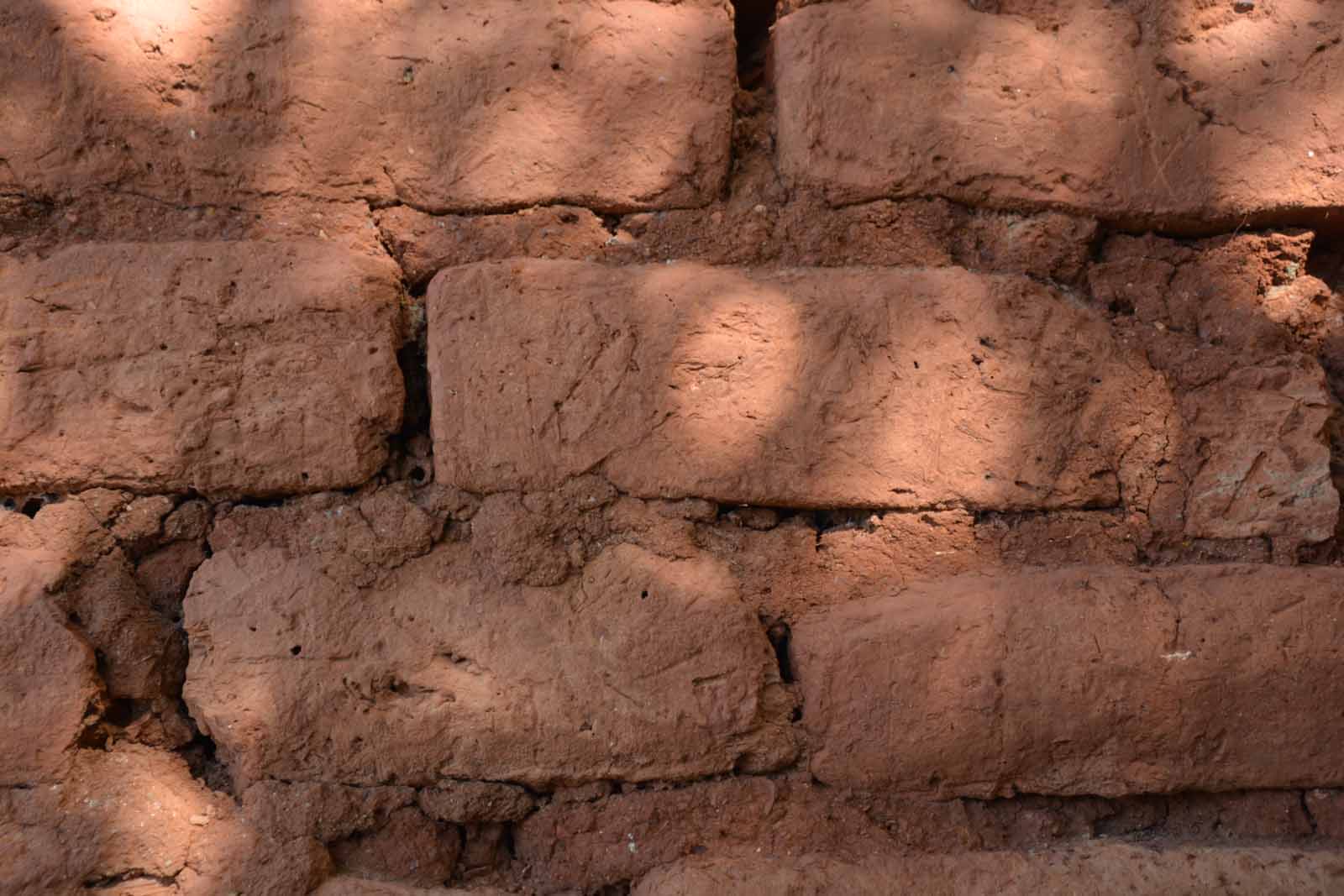
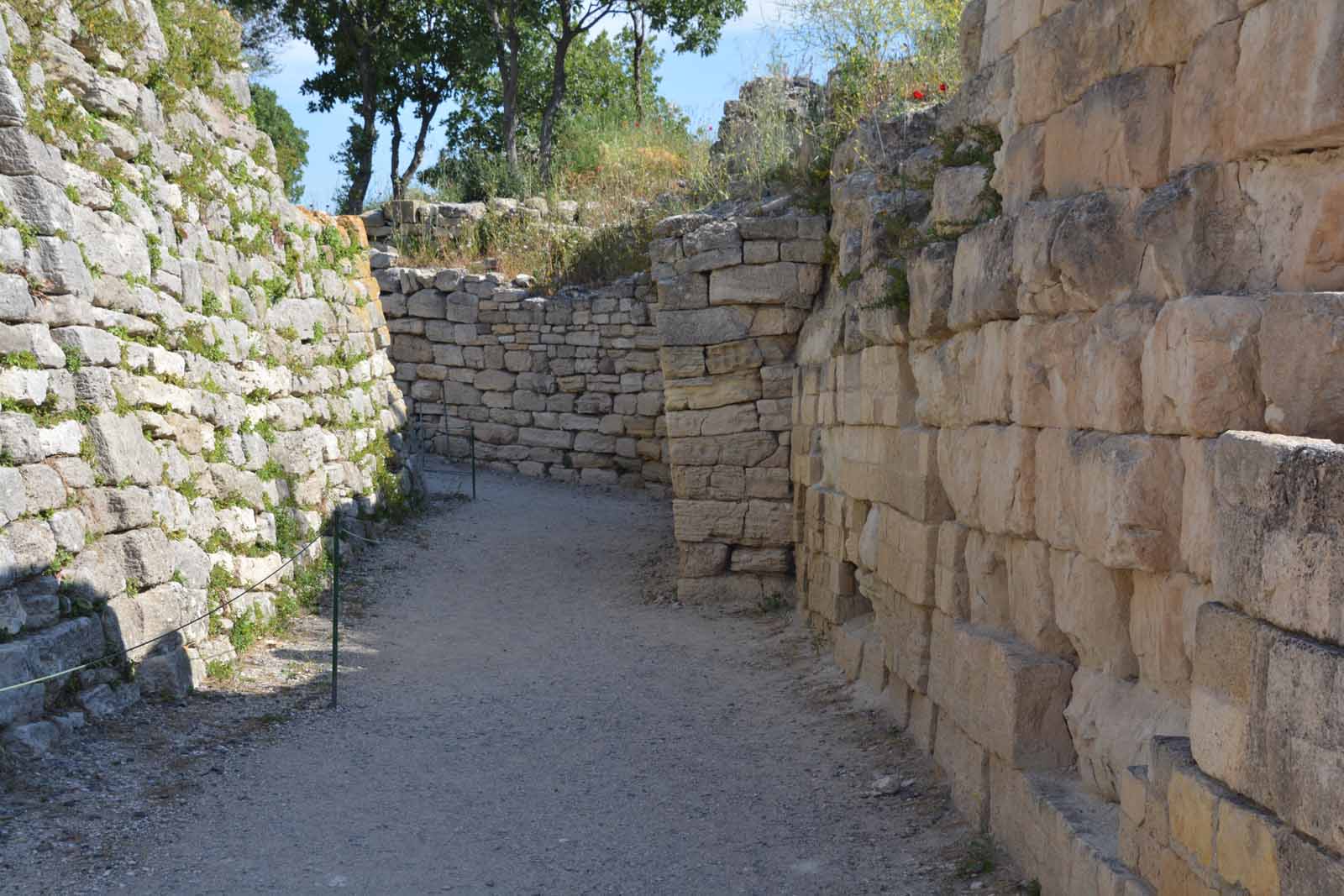
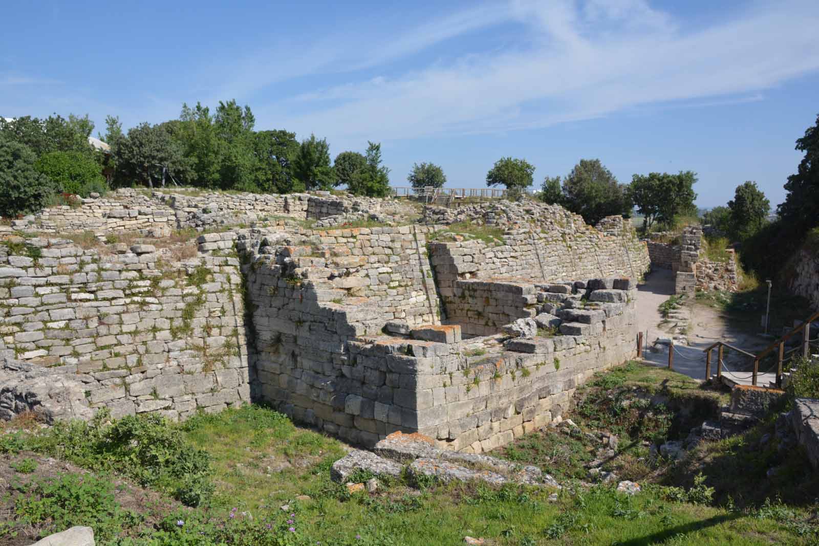
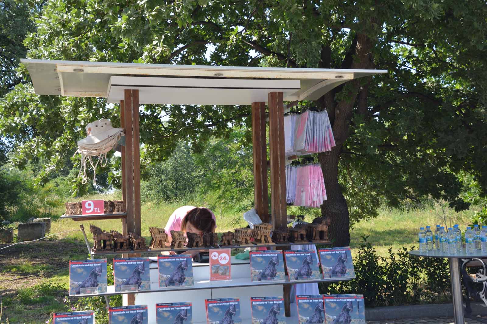
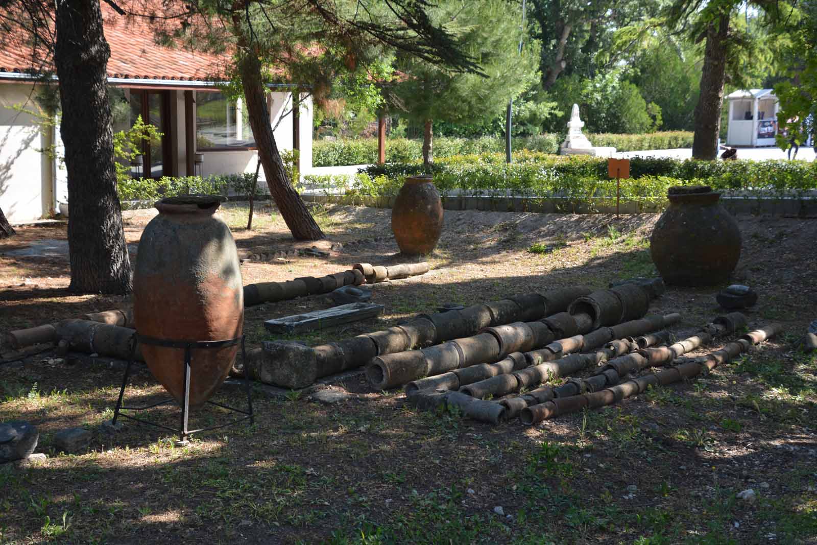
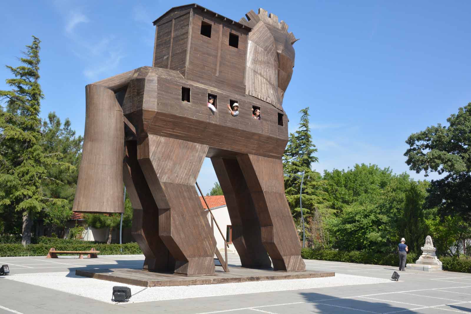
The Ancient city of TroyTo my surprise, the ancient city of Troy is only a few minutes drive south from Cannakale. We headed there in the morning, to beat the tour buses and the heat. Troy was built on a headland looking over the Mediterranean Sea, just south of the entrance to the Dardanelle Strait and the sea lane to Constantinople. Today, there is a wide flat plain separating Troy from the sea. It is remarkably small site, not well escavated but full of history, layer upon layer. Classical scholars could spend hours here, looking at its development and downfall but we spent just over an hour looking over the main features with our guide Daria. Archaeologists identify nine layers at Troy, Troy I dated to about 3,000 BC through to Troy IX dated at 65 BC to AD 500.
Last updated: 23/04/2019 |
||||||||||||||||||||||||||||||||||||||||||||||||||||||||||||||||||||||||||||||||||||||||||||||||||||||||||||||||||||||||||||||||||||||||||||||||||||||||||||||||||||||||||||||||||||||||||||||||||||||||||||||||||||||||||||||||||||||||||||||||||||||||||||||||||||||||||||||||||||||||||||||||||||||||||||||||||||||||||||||||||||||||||||||||||||||||||||||||||||||||||||||||||||||||||||||||||||||||||||||||||||||||||||||||||||||||||||||||||||||||||||||||||||||||||||||||||||||||||||||||||||||||||||||||||||||||||||||||||||||||||||||||||||||||||||||||||||||||||||||||||||||||||||||