From the Pacific to the Atlantic - Crossing Canada by Train
2 October - 5 November 2024
Canada 2024
14 October 2024: Day 13
Harbour Grace to St John's, Newfoundland.
Introduction
Breakfast at the Belle View was at 8.30 so we arrived on time to get the table in the window. We needn't have hurried, the next guests (on their honeymoon apparently) arrived 15 minutes later. An excellent breakfast with fresh coffee, croissants
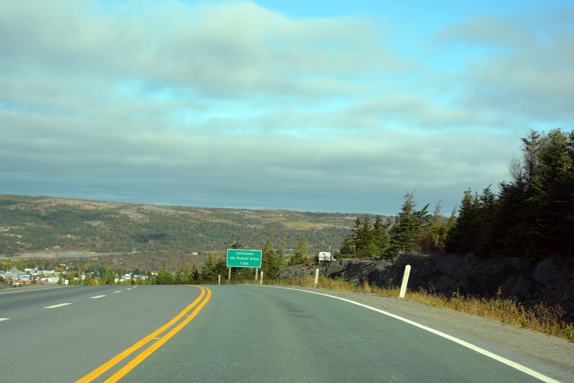
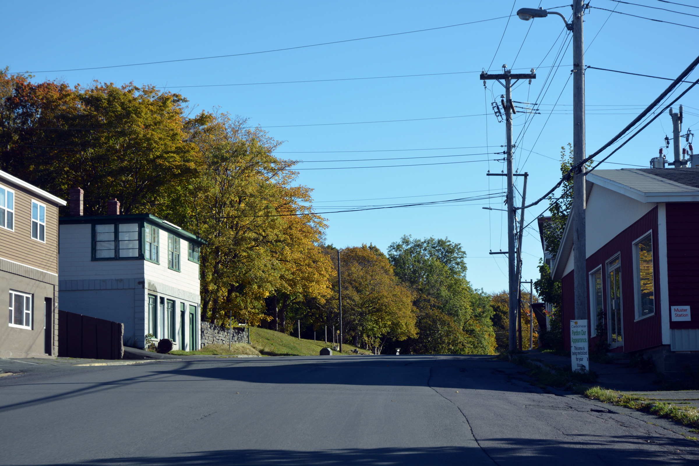
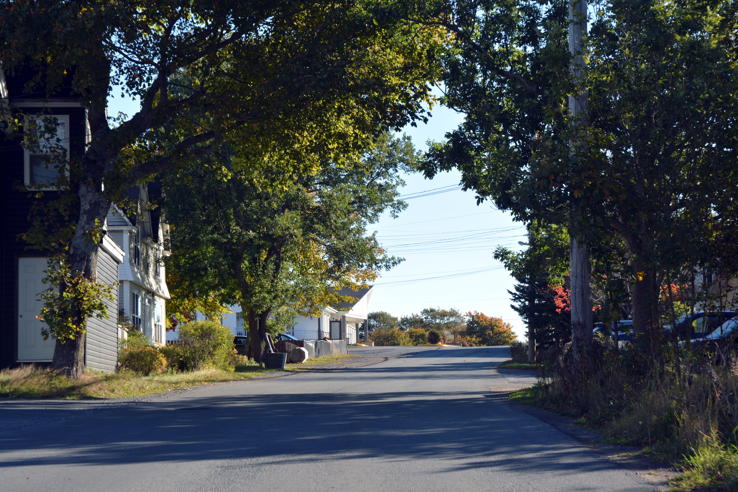
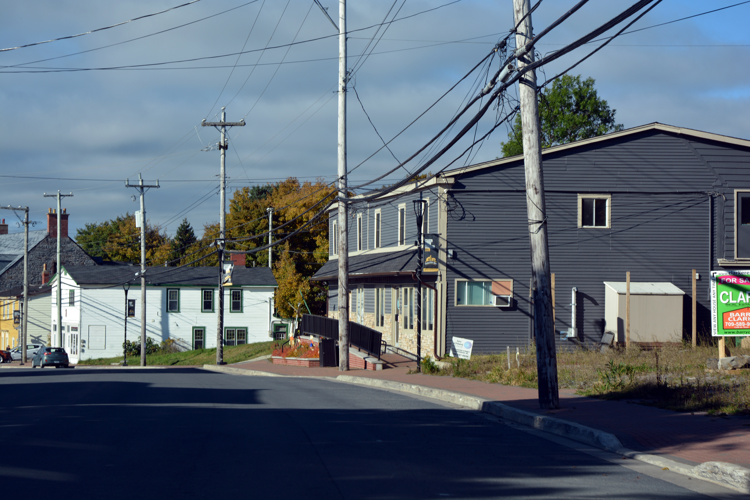
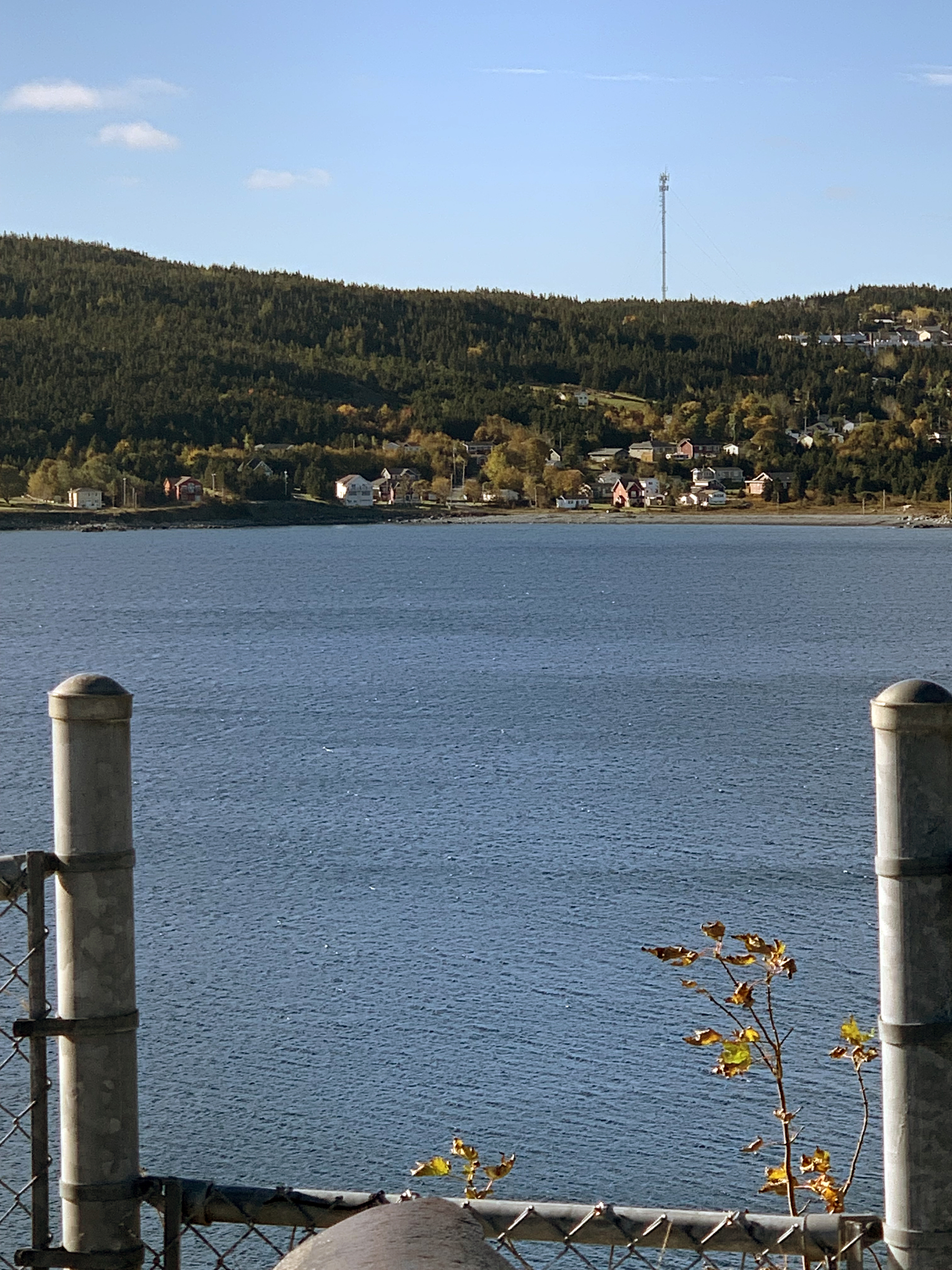
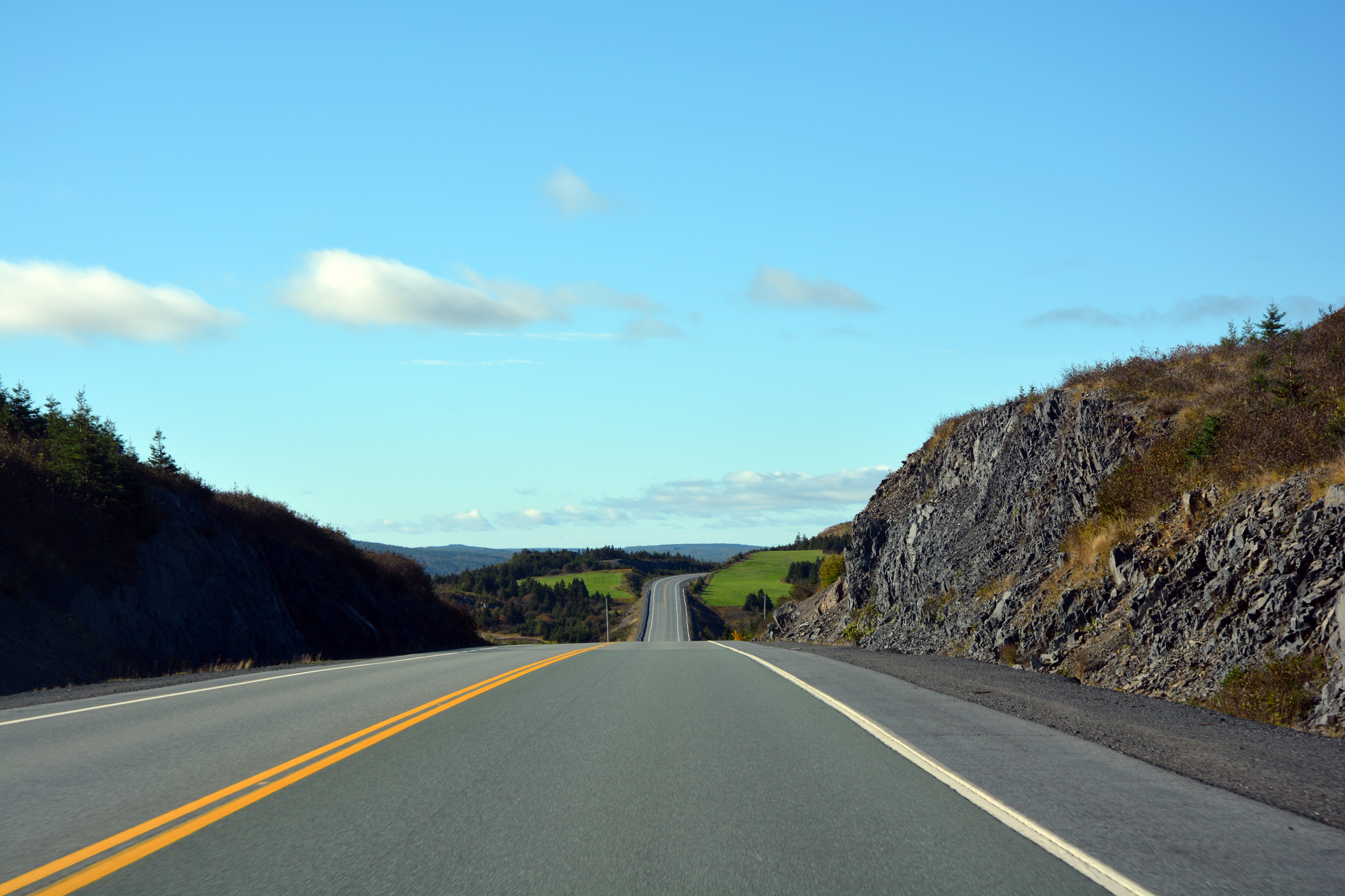
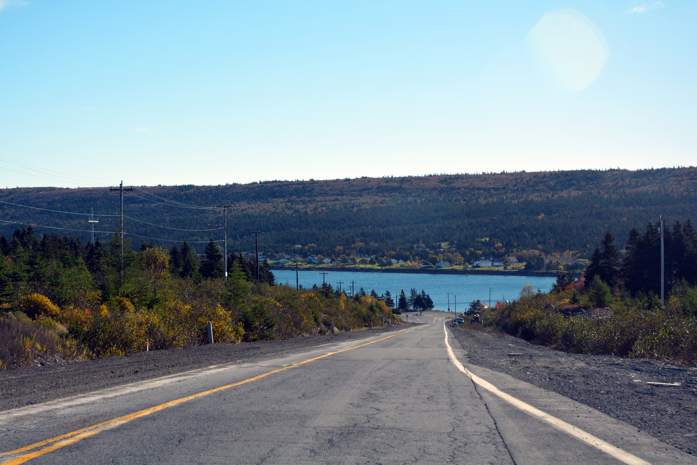
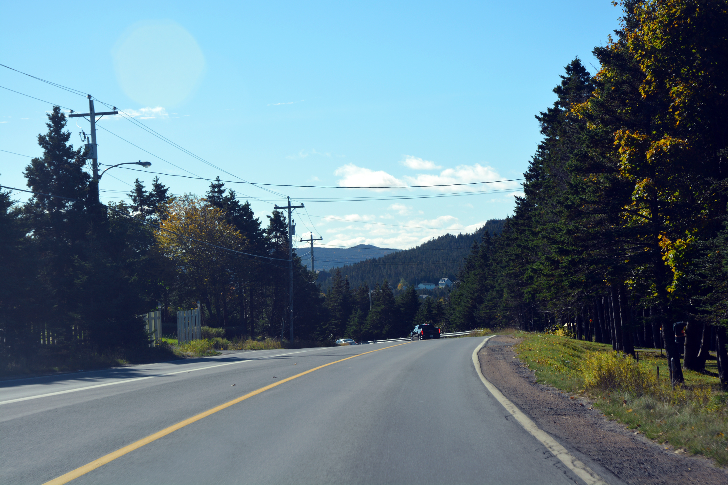
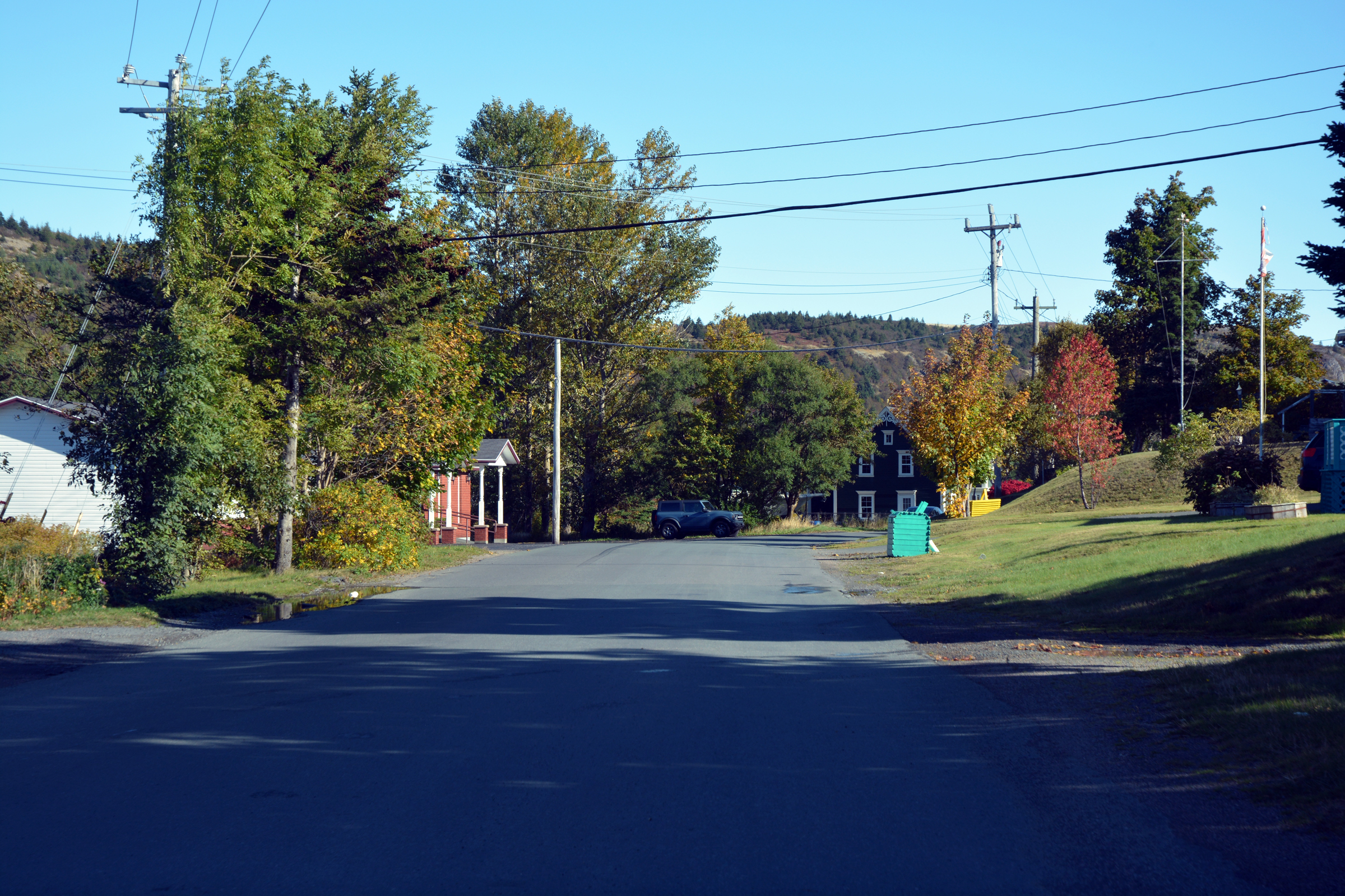
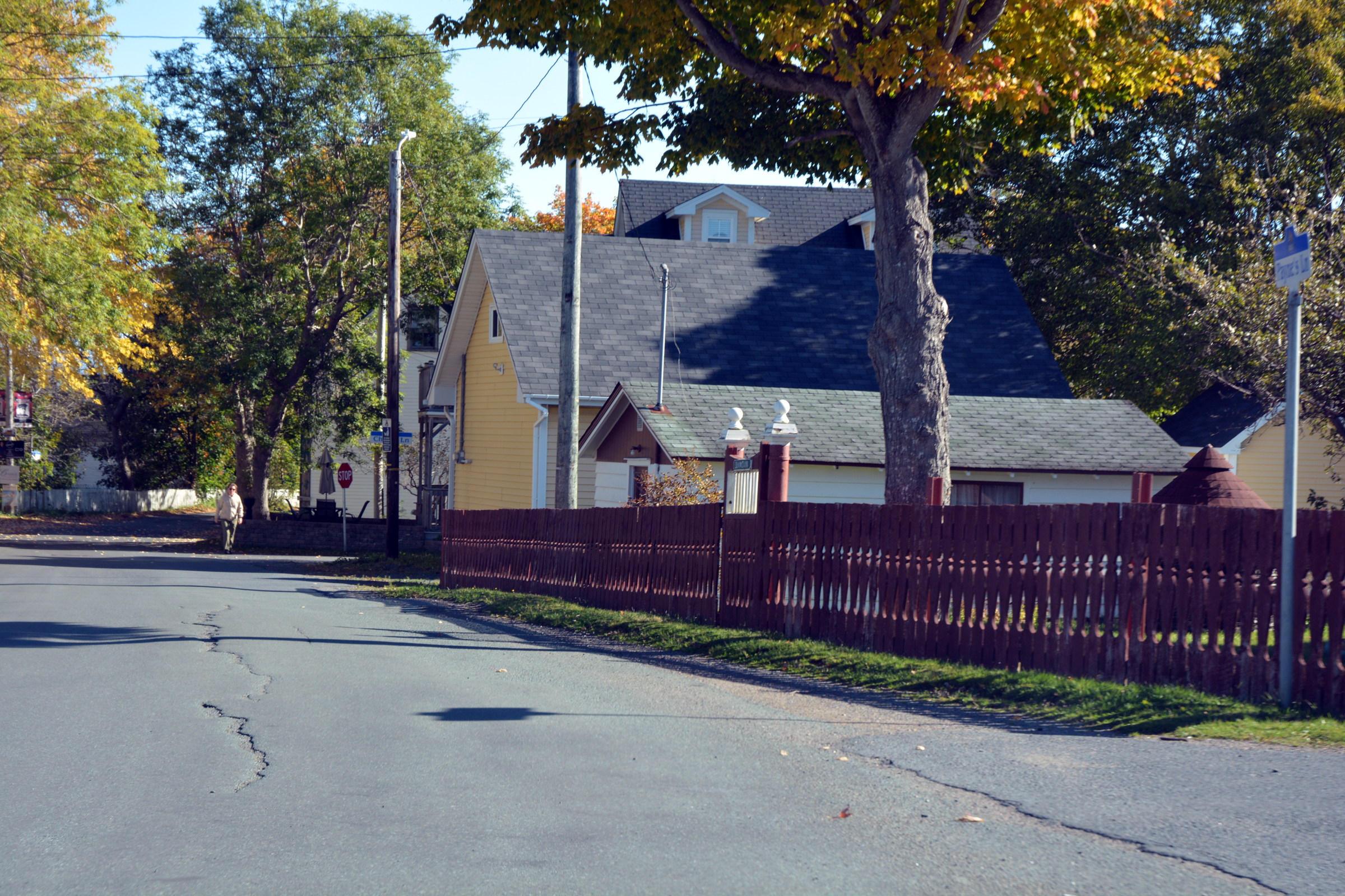
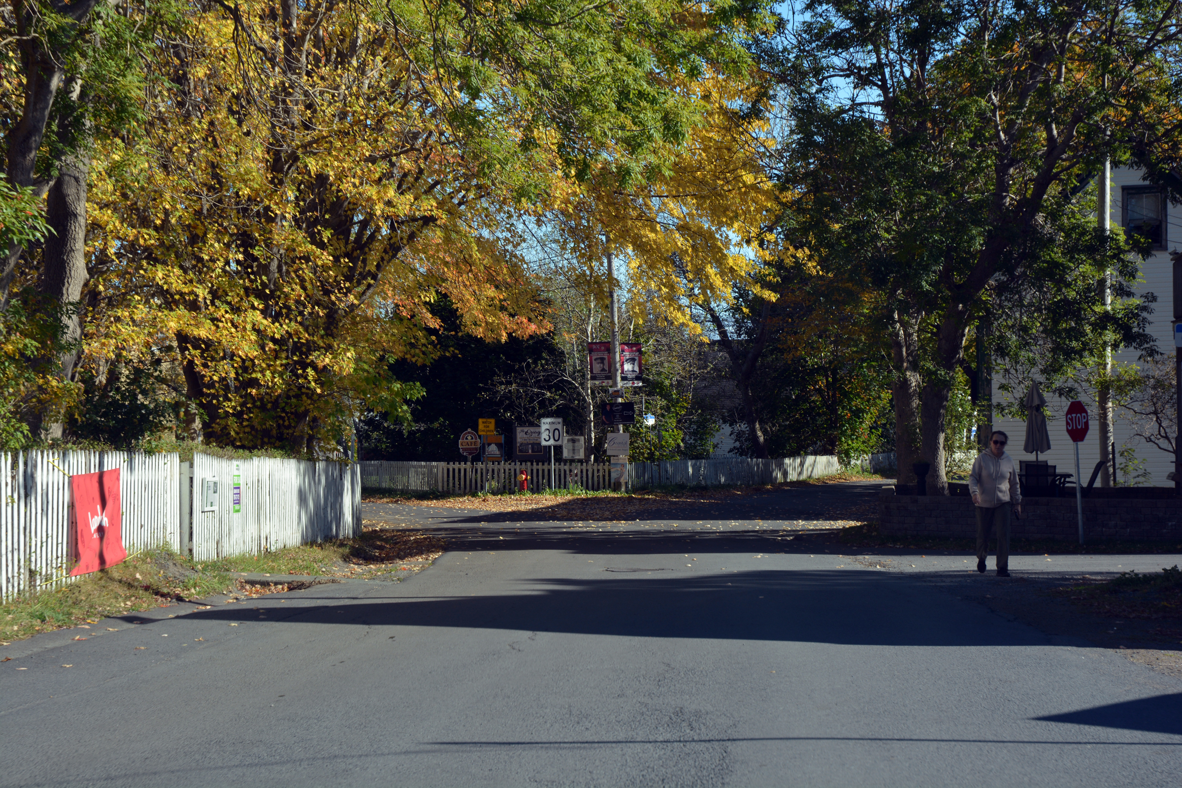
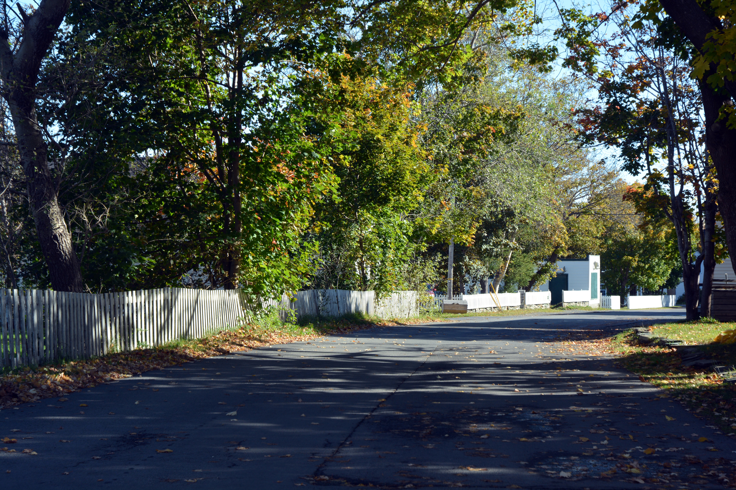
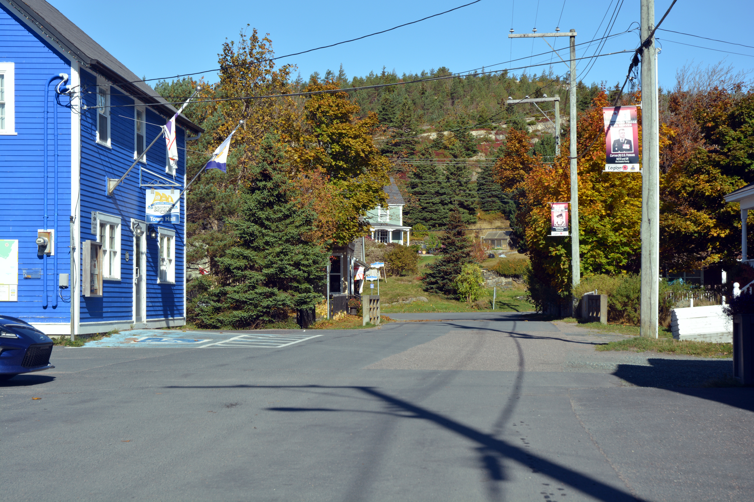
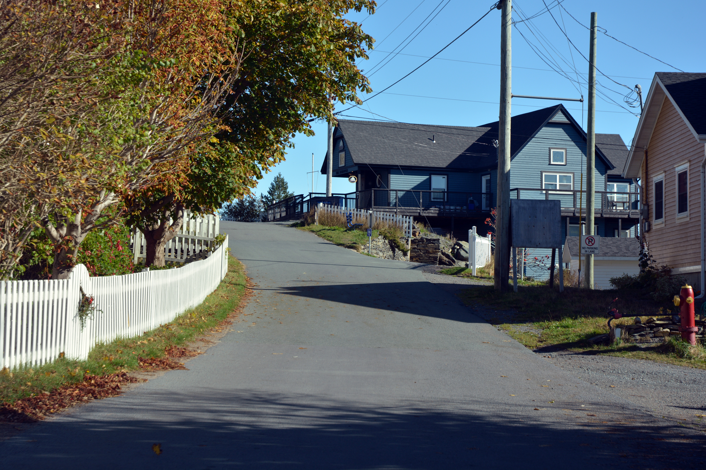
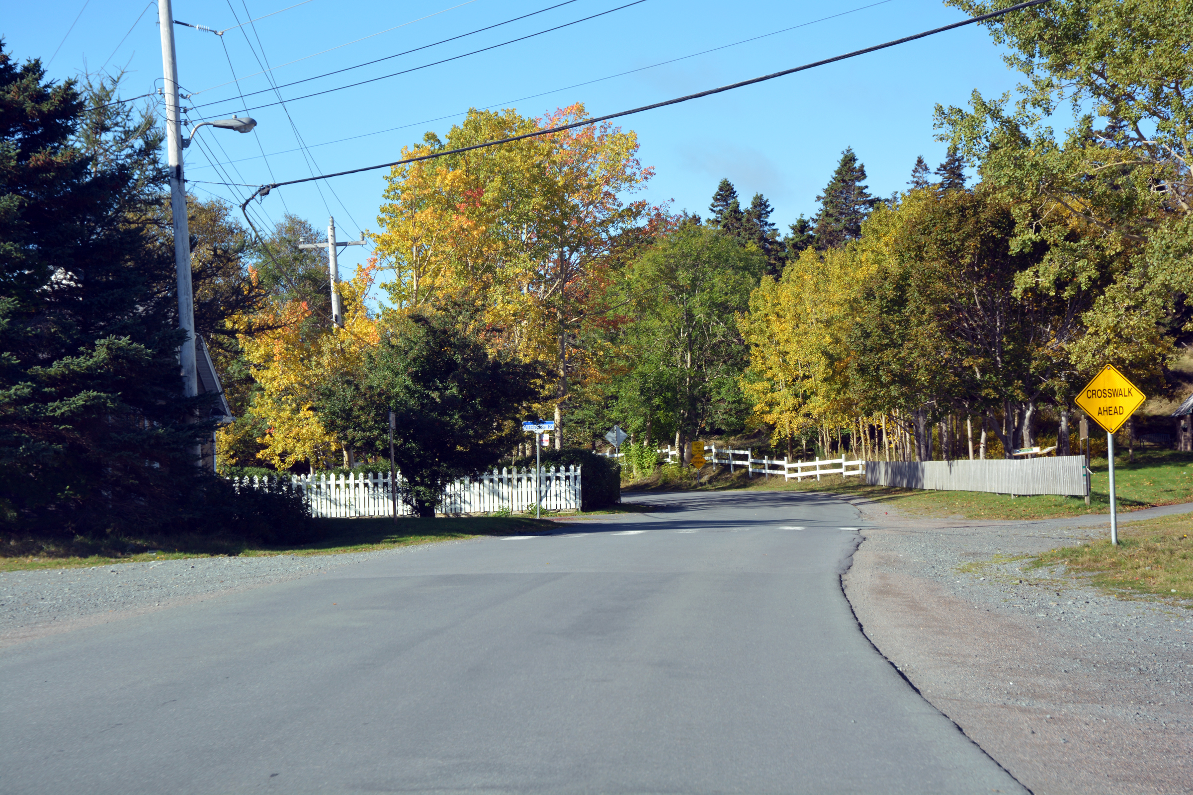
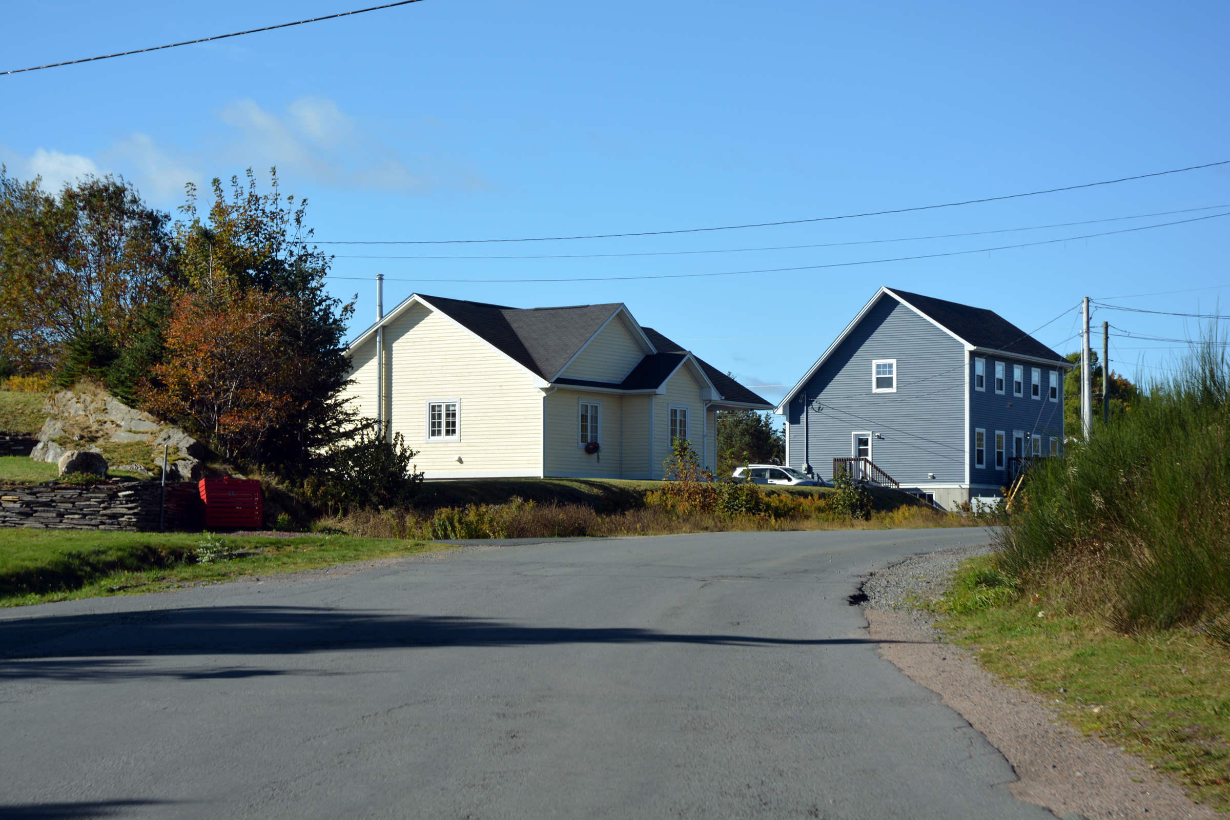
and bacon. We loaded the car for the last time on this leg and headed north to the larger town of Carbonear. This was a major fishing port in the early days of Newfoundland. We returned past Harbour Grace and turned off to the old town of Brigus. Its streets
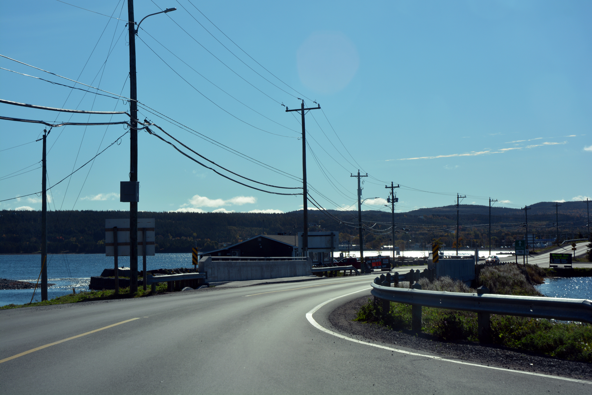
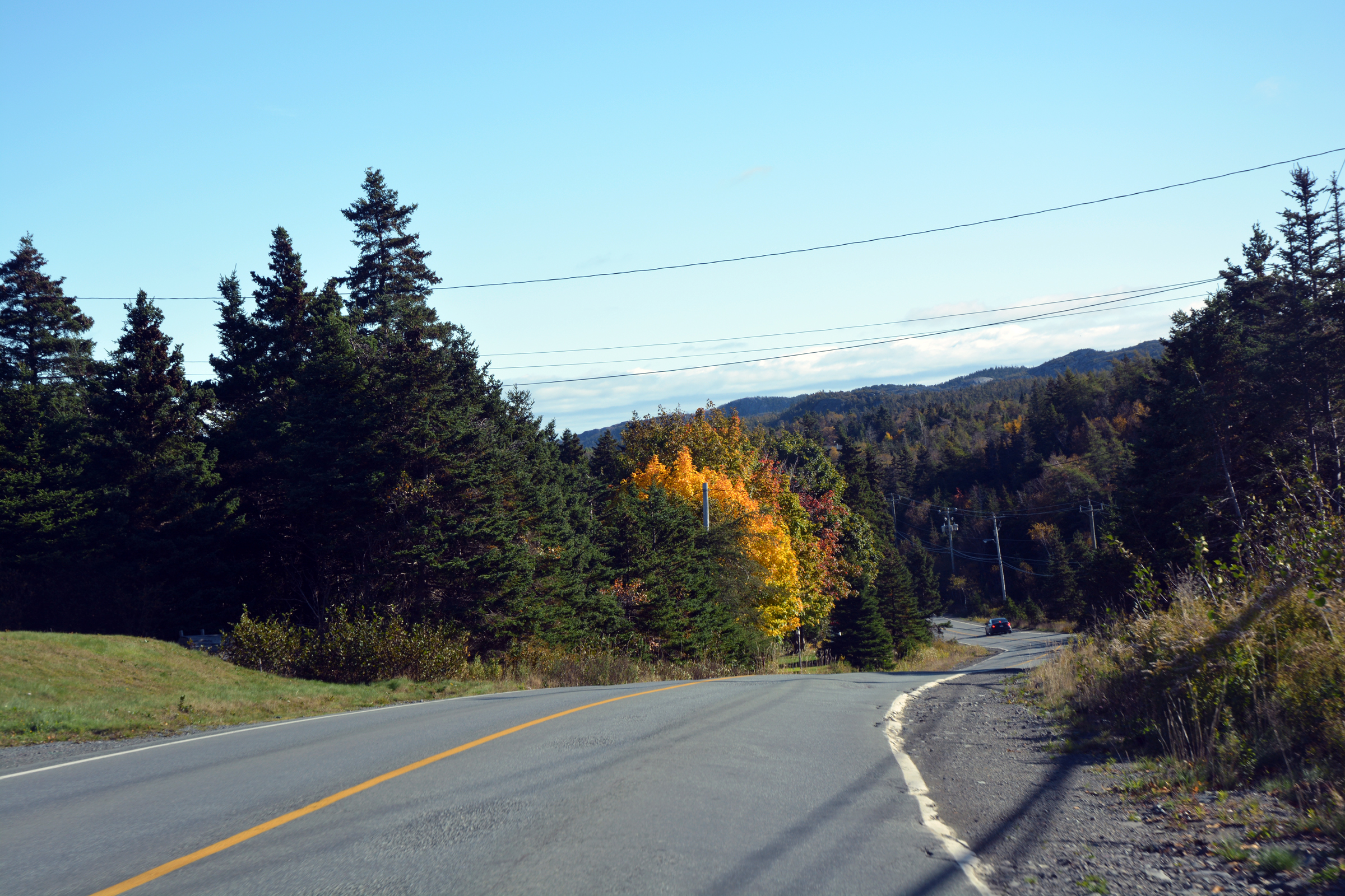
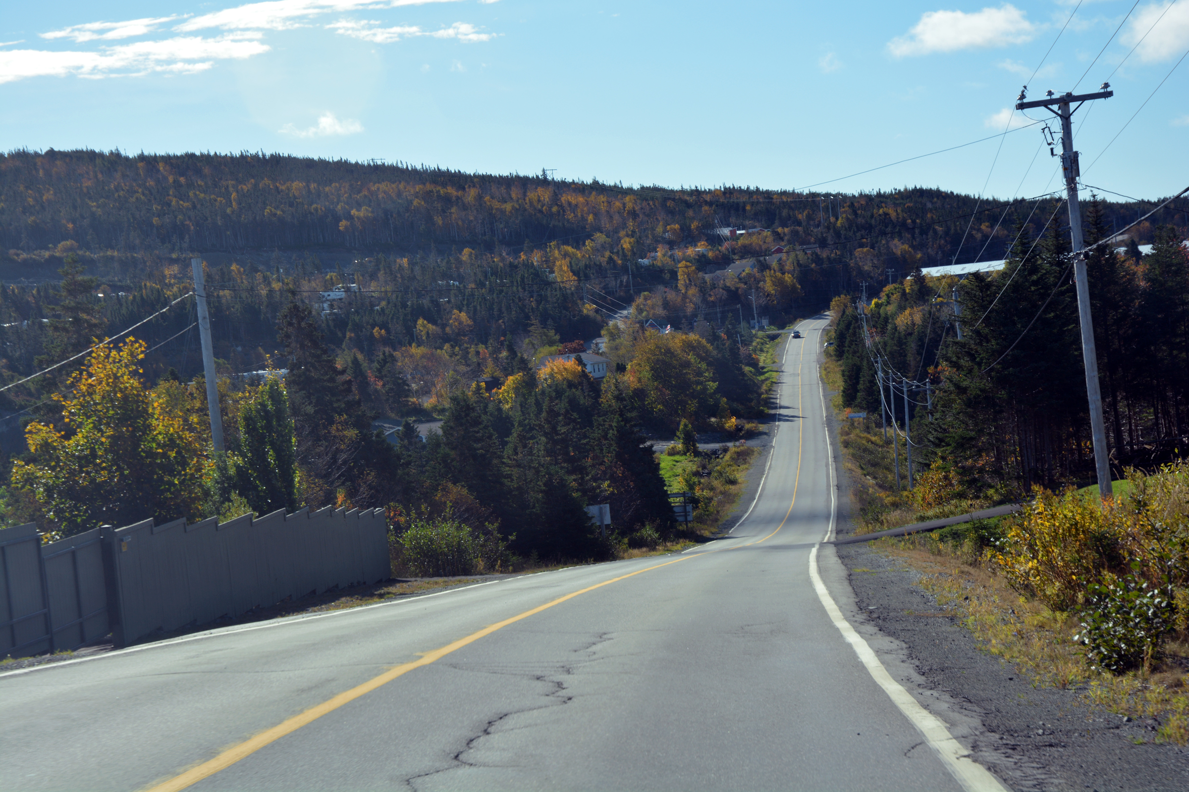
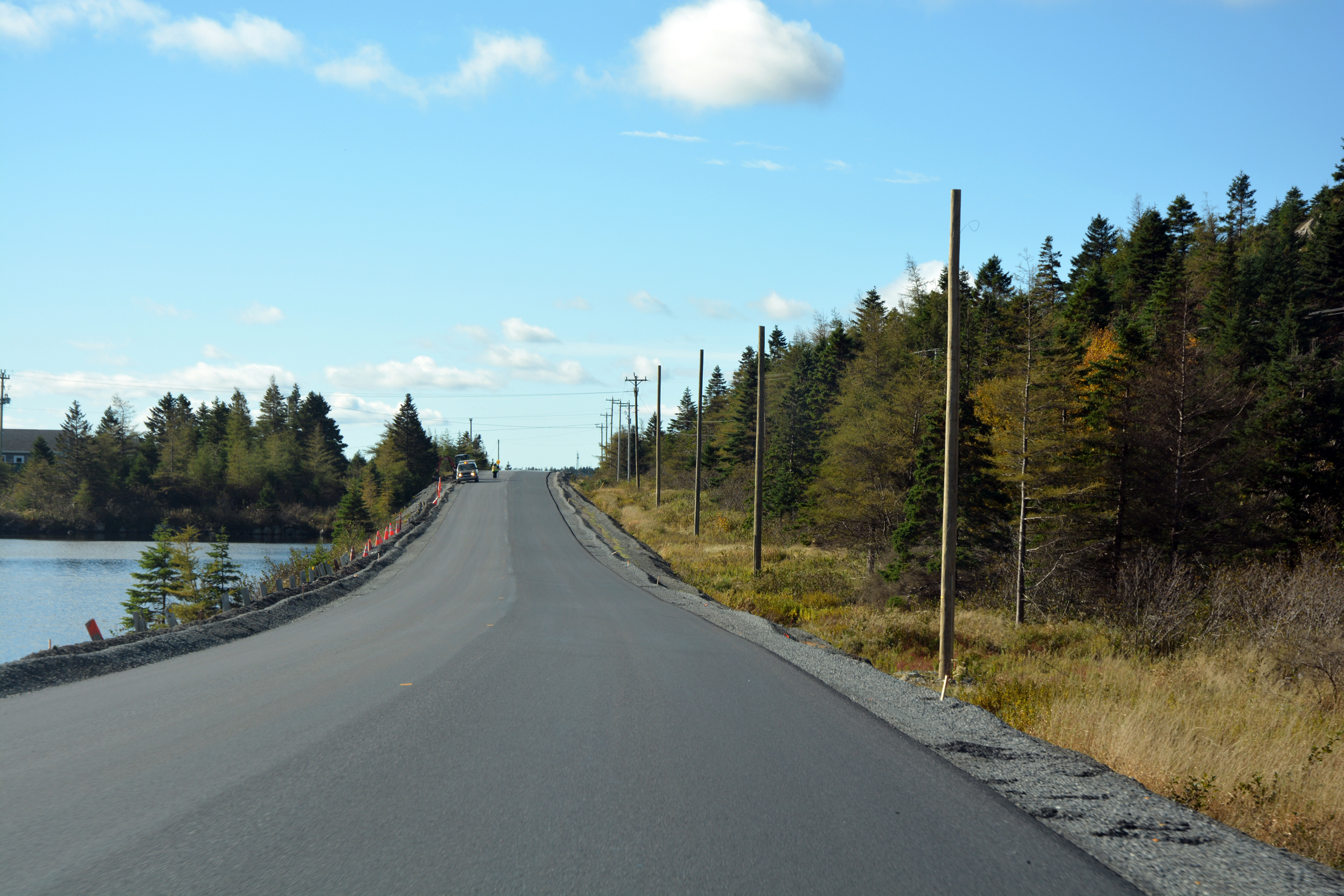
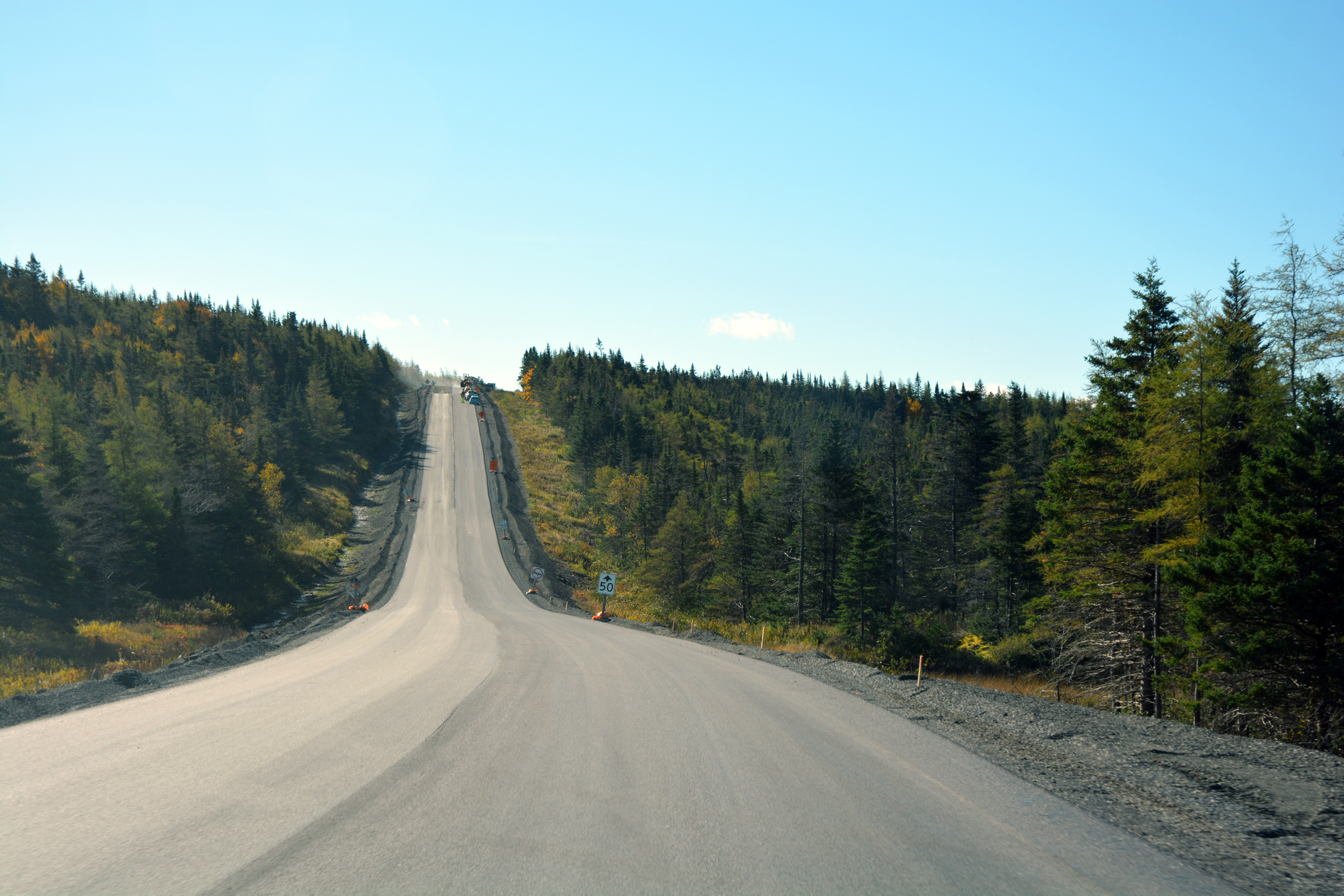
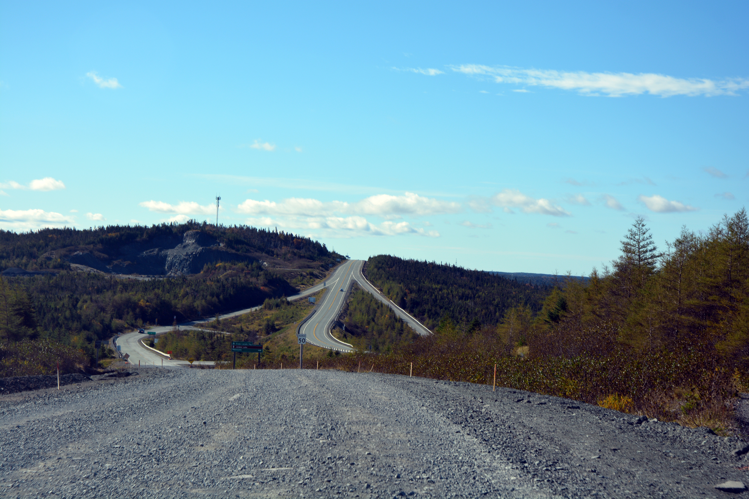
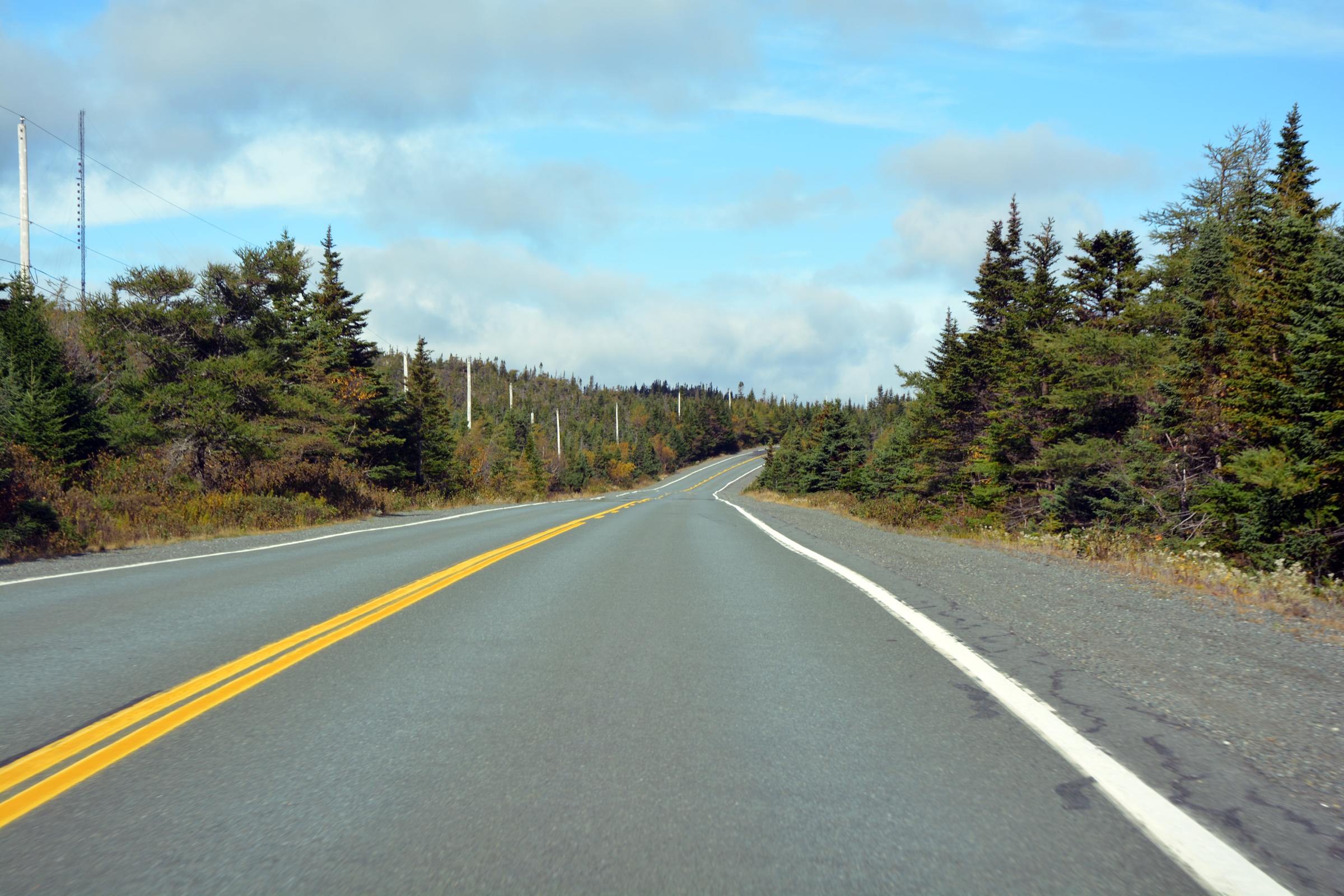
were narrow and went at crazy angles. It was a quaint town and it would have been interesting to have stayed there and explored further. We returned to the main highway, via a road undergoing a major rebuild; rejoined TCH 1 and rushed towards
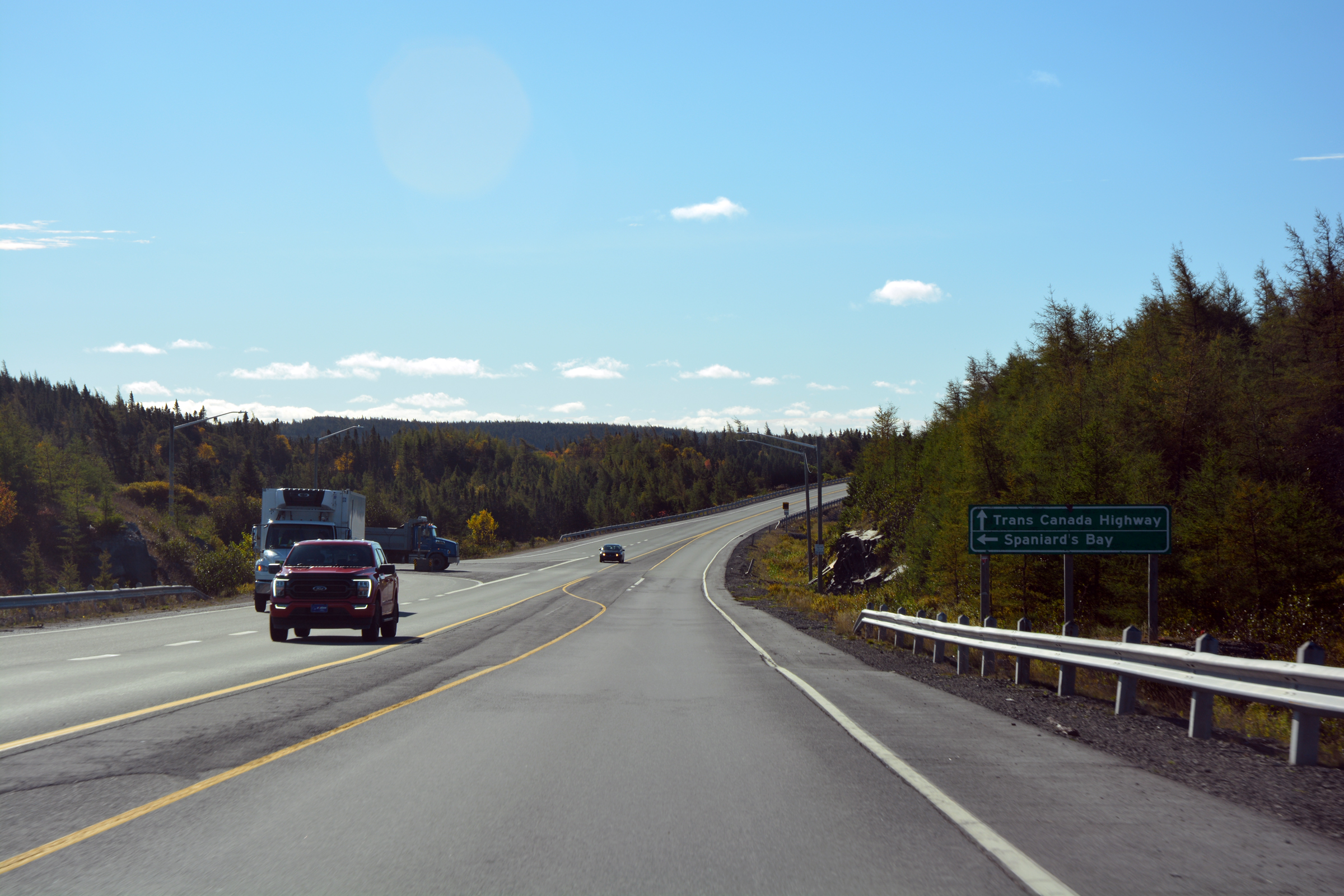
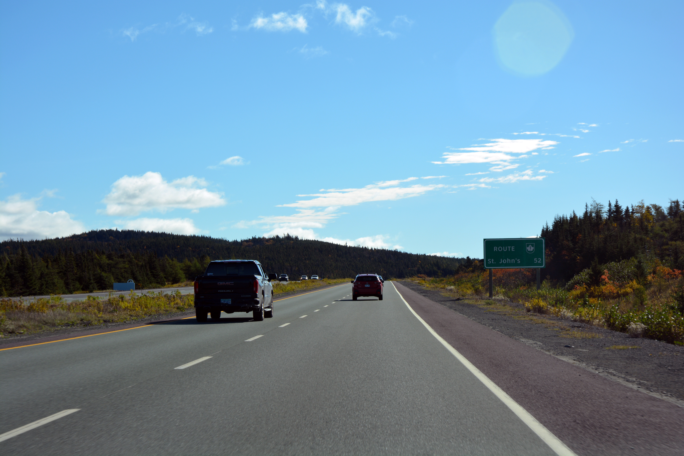
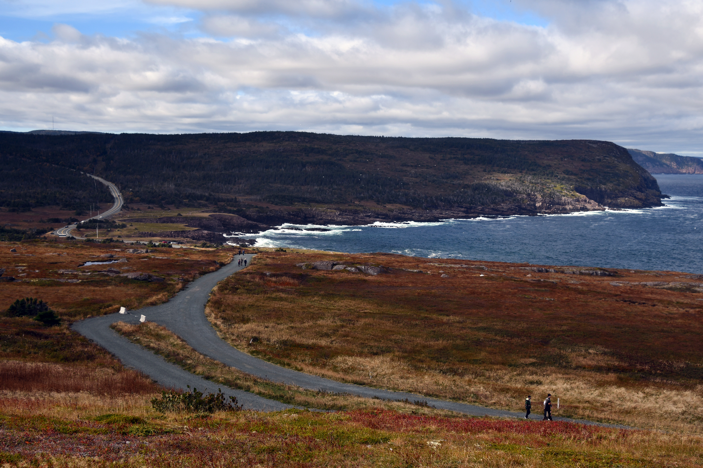
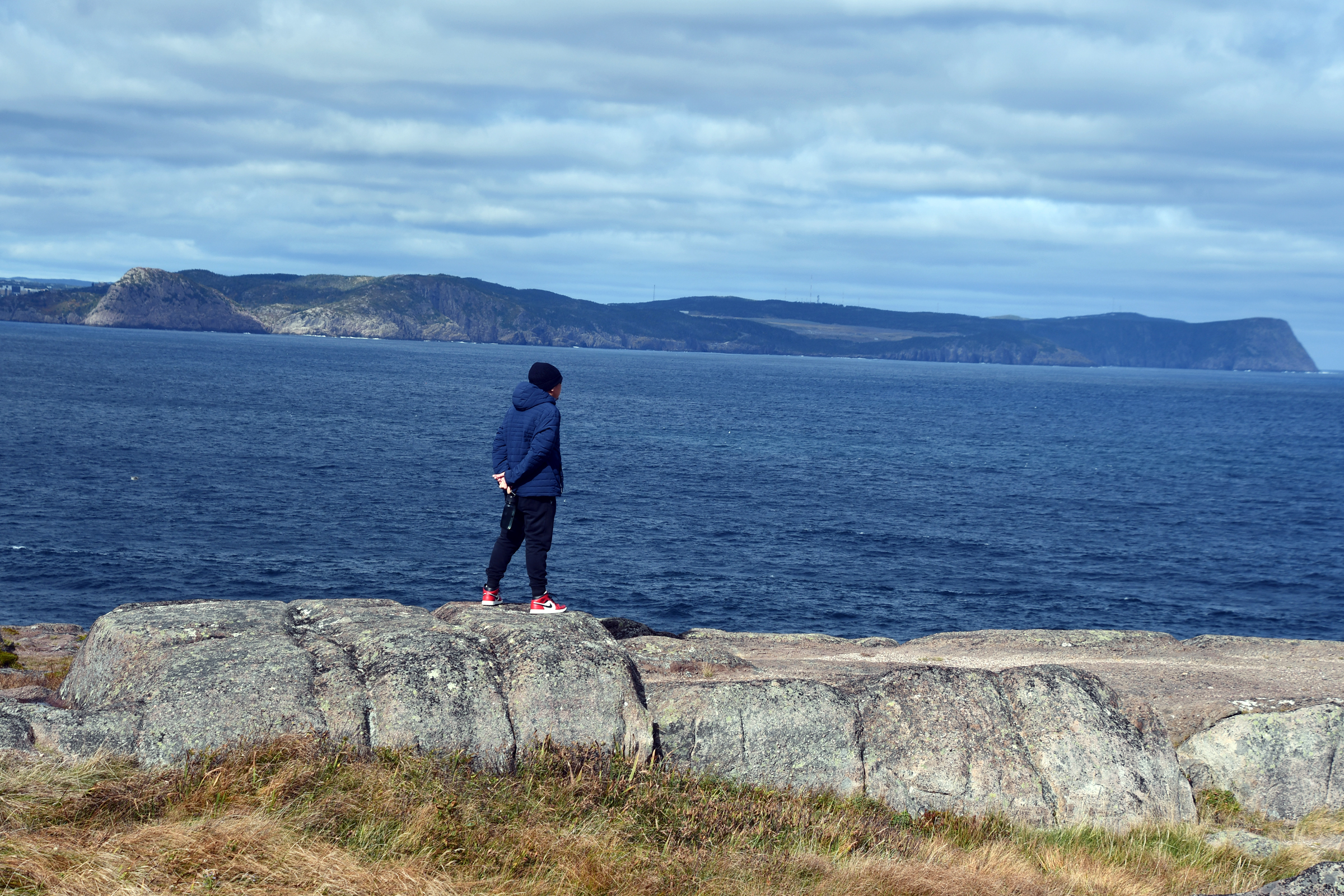
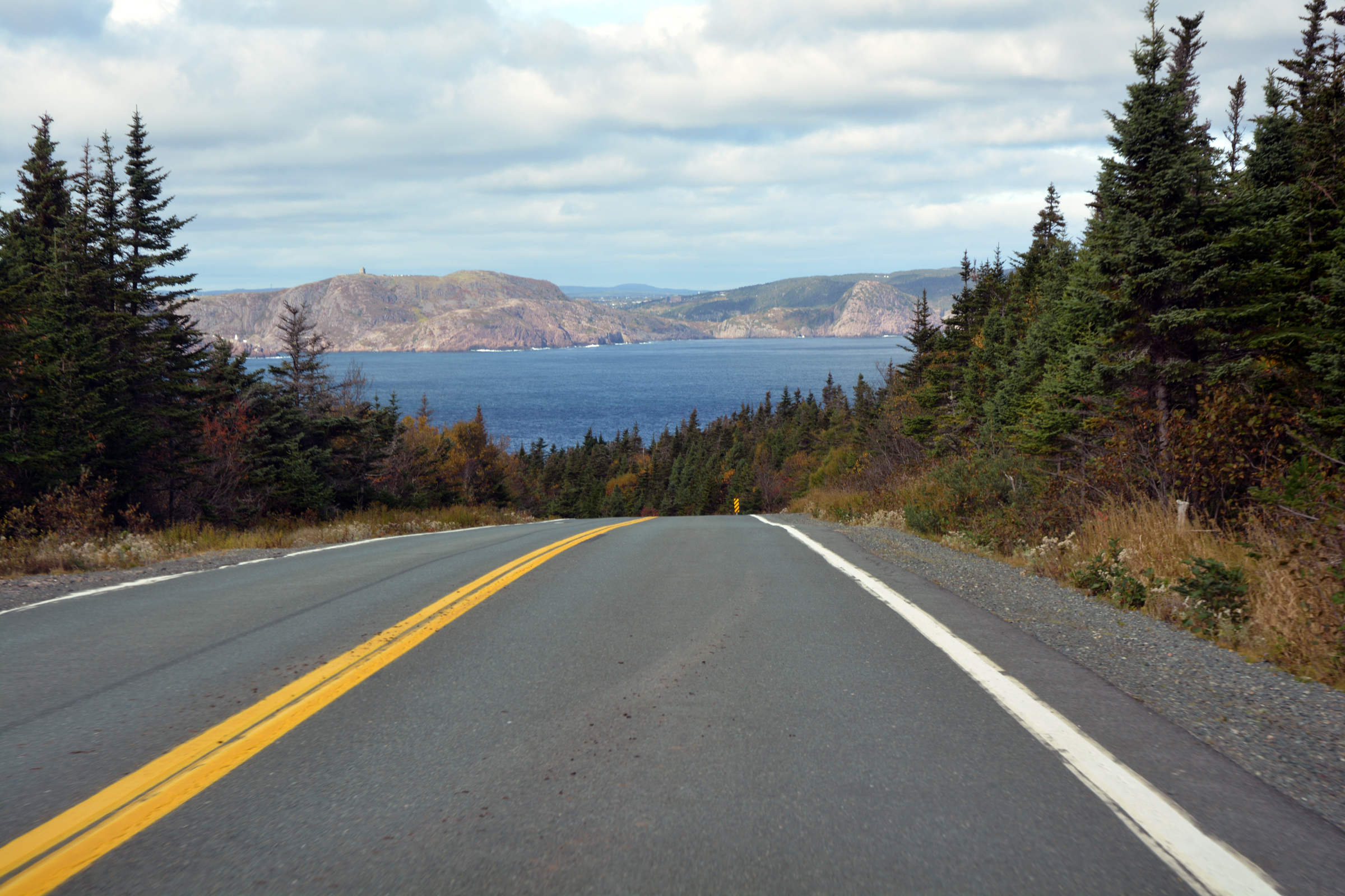
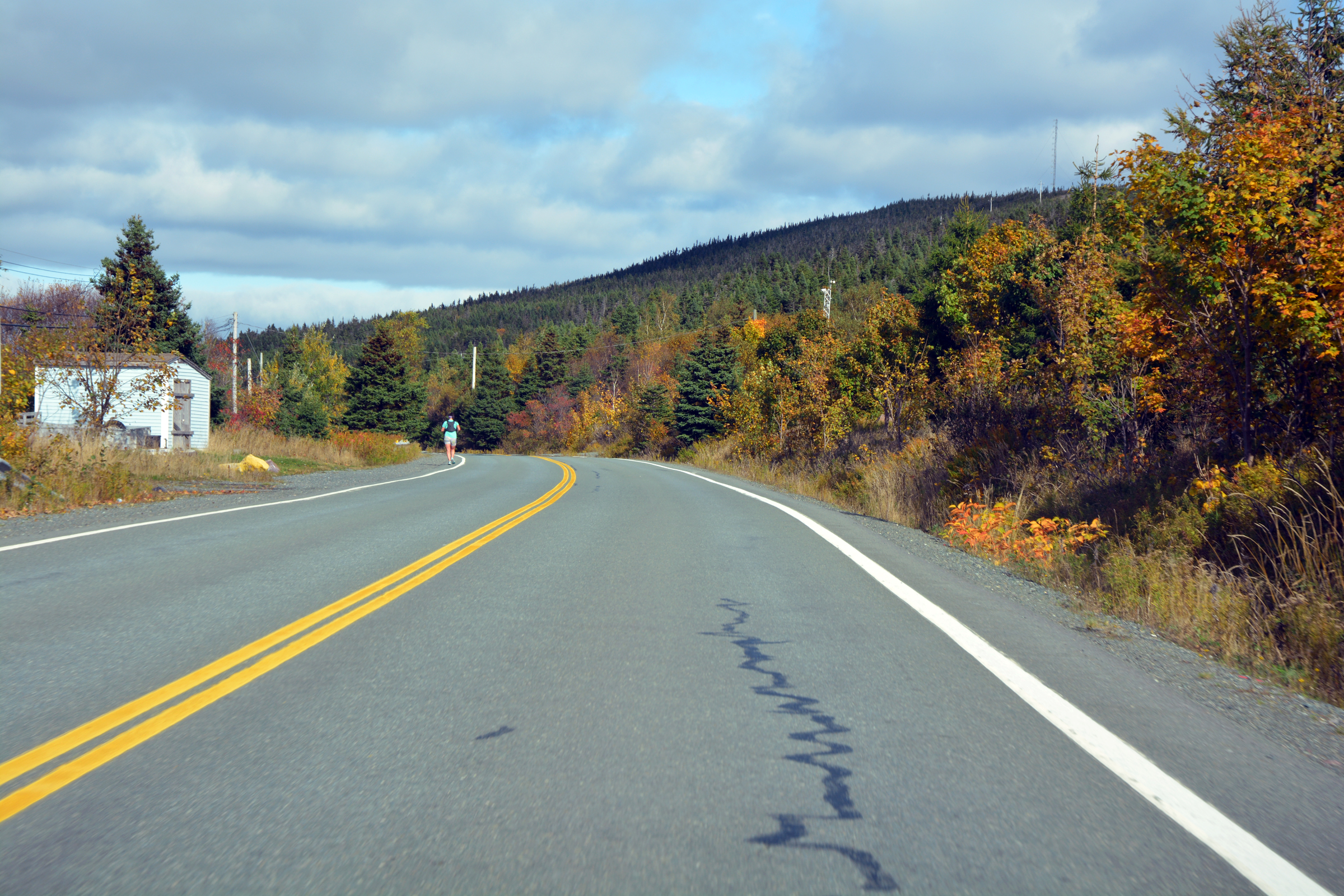
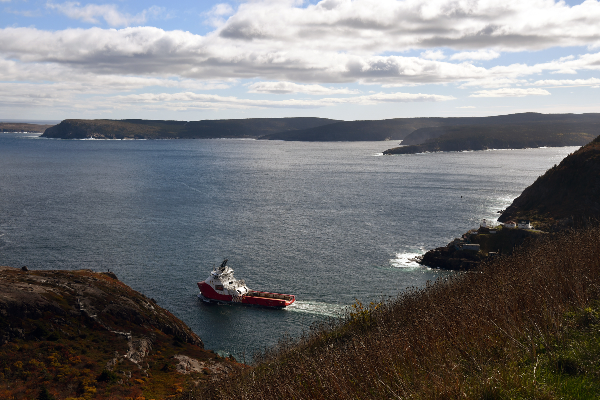
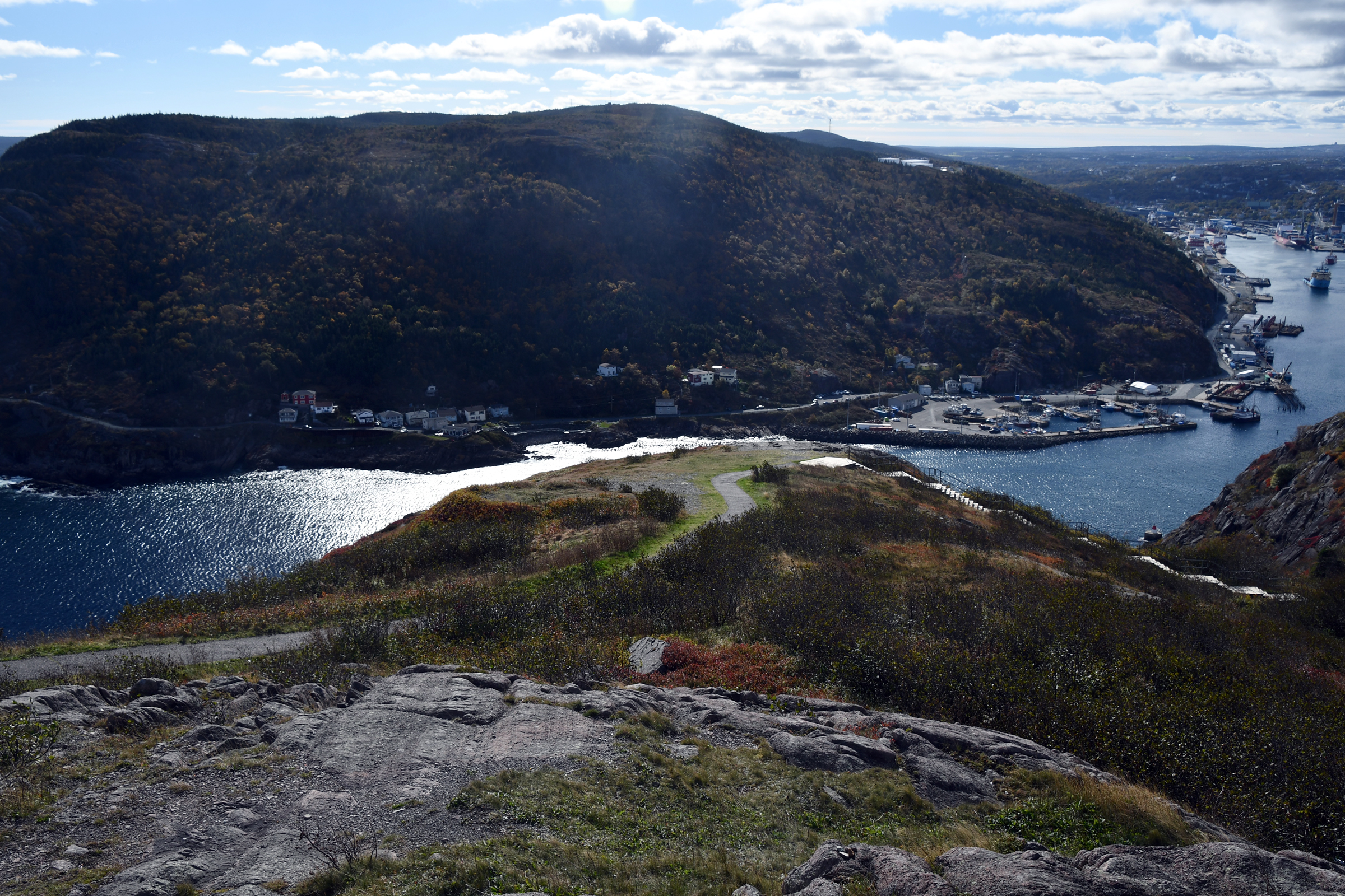
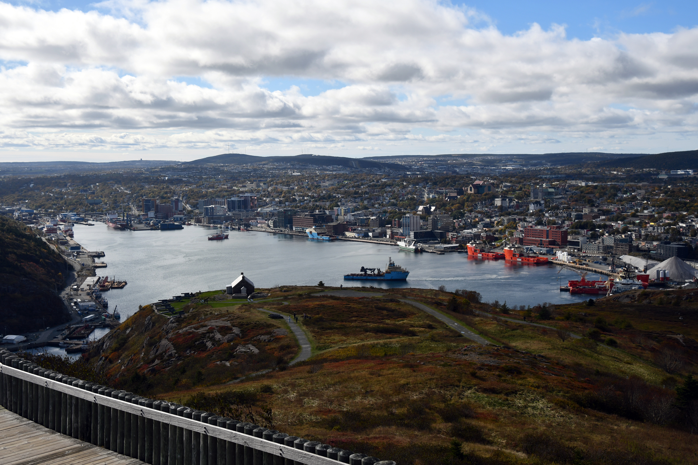
Saint Johns, heading for Cape Spear, the most easterly point of Canada. From Cape Spear we headed back into Saint John's and then out onto the next peninsula to Signal Hill, another National Park, being the site
of the first trans-Atlantic radio transmission. We then returned to St John's, found the Jelly Bean houses and then proceeded to the airport to drop off the car.
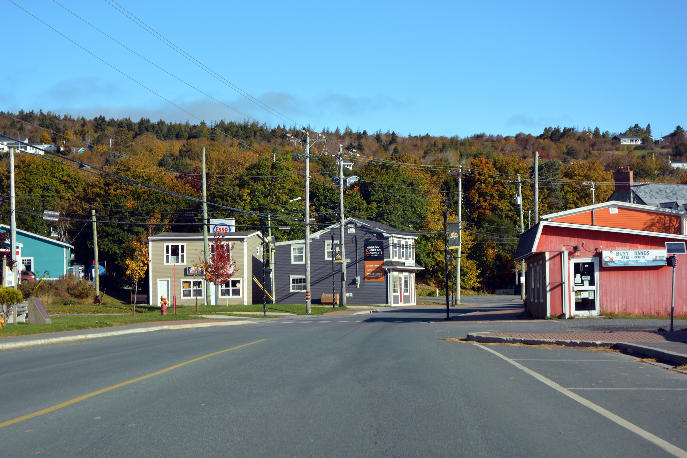
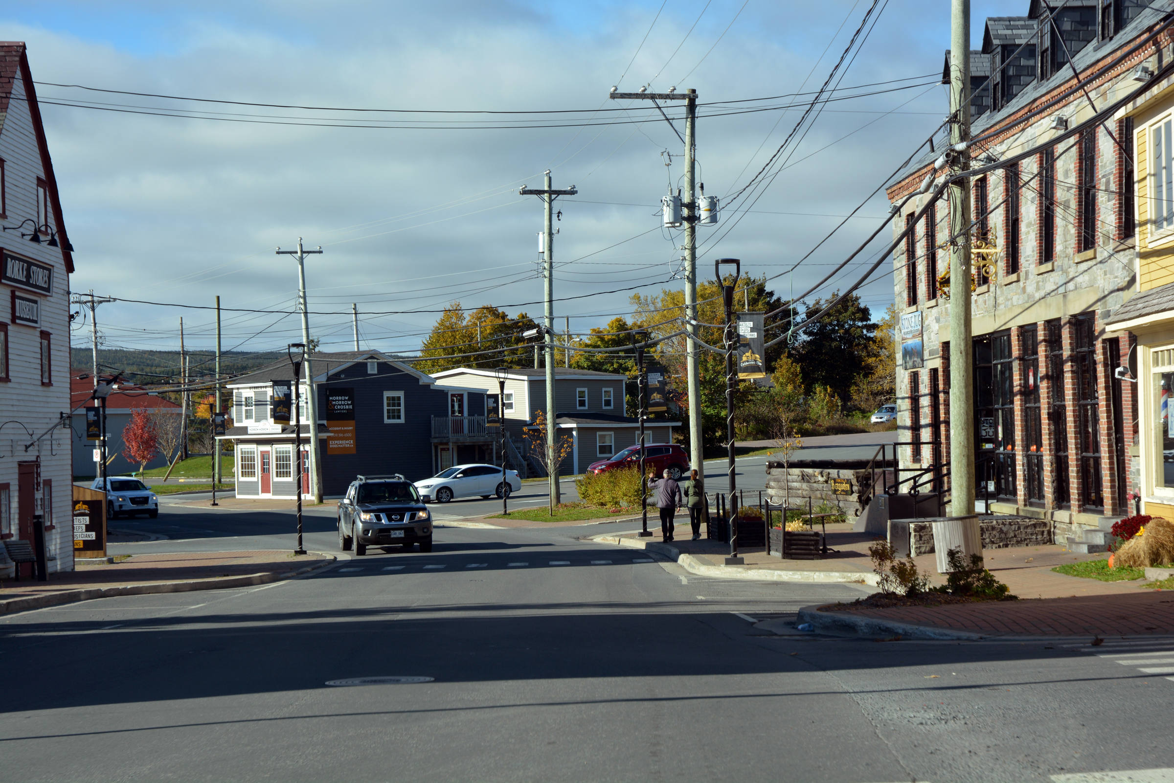
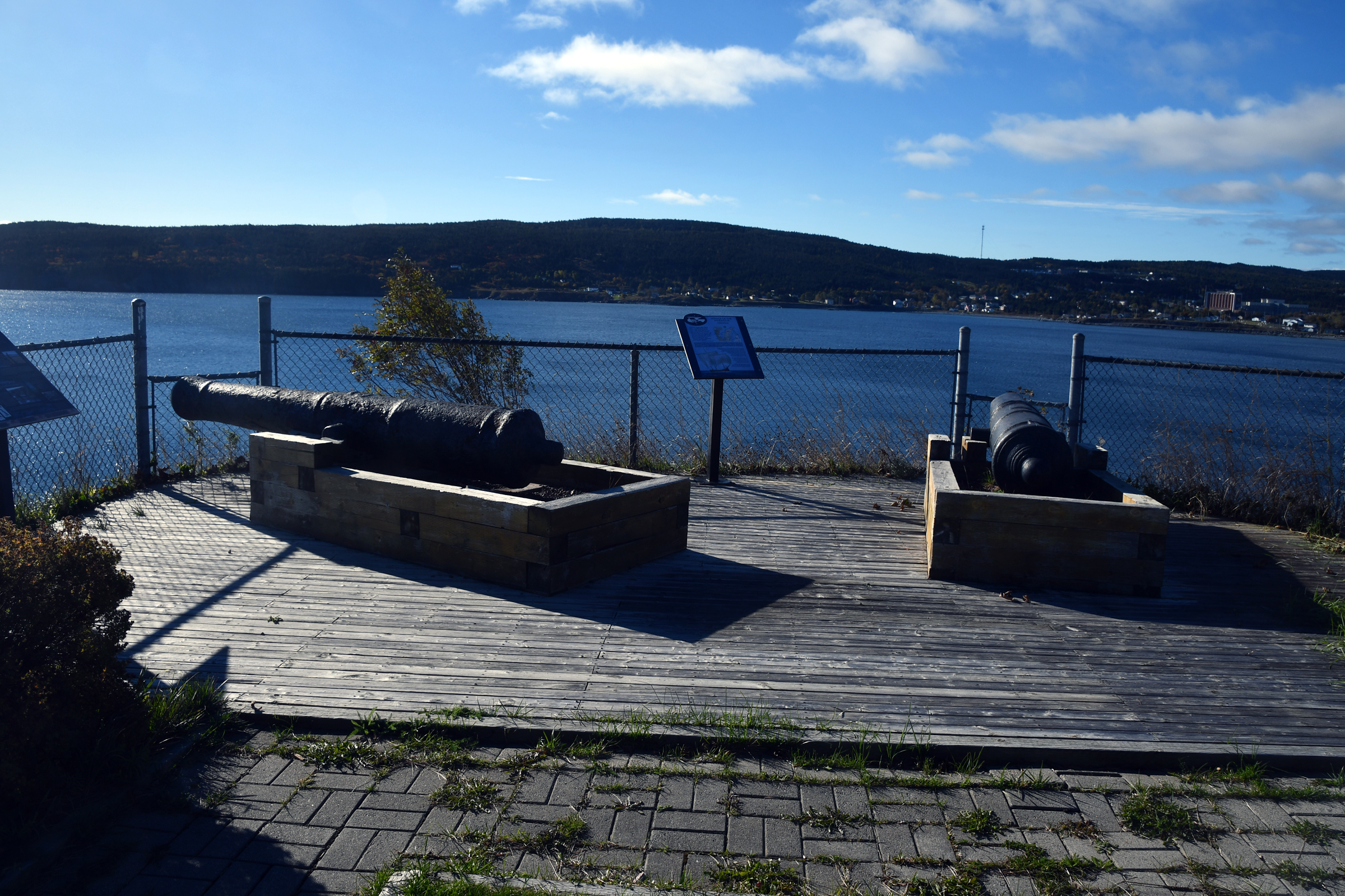
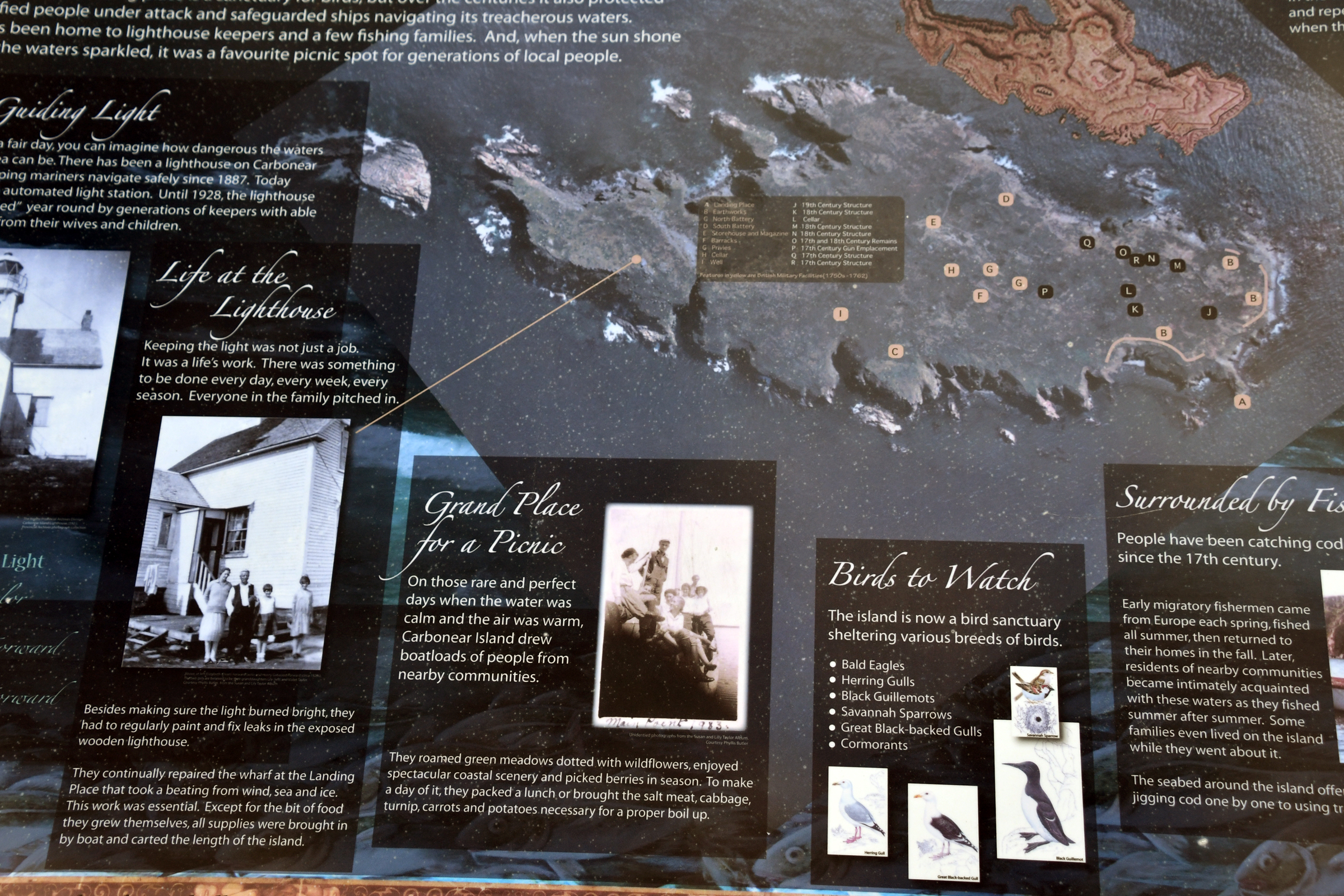
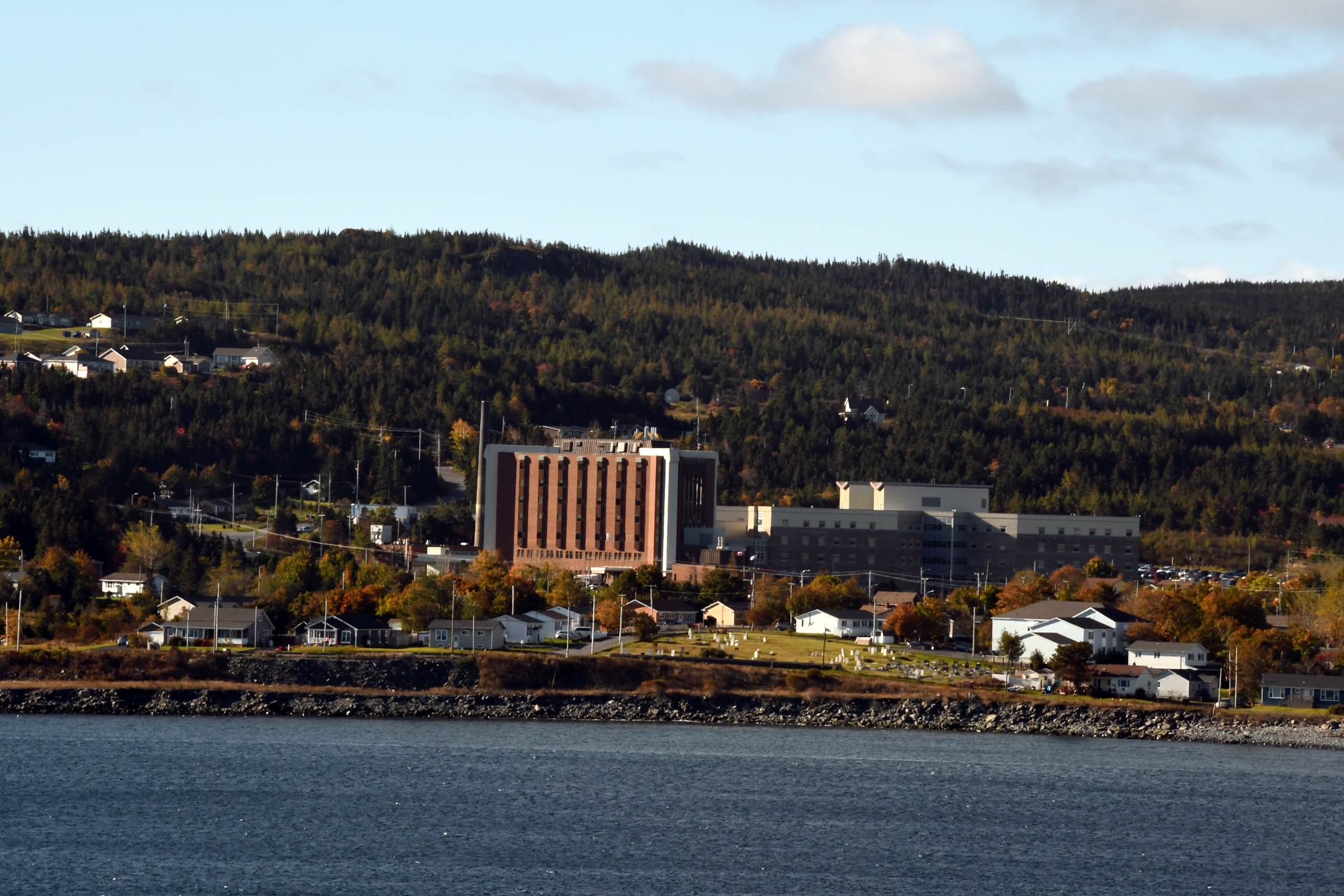
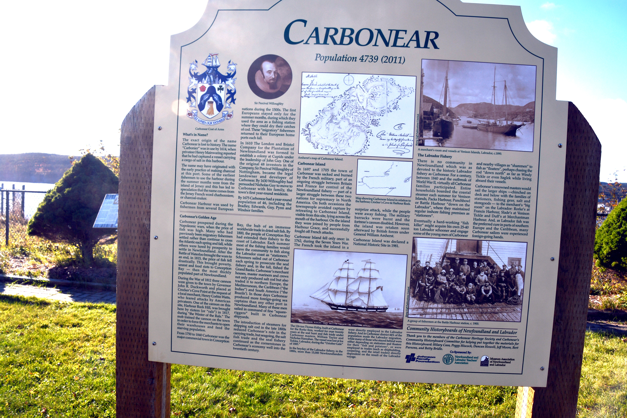
Carbonear, Newfoundland
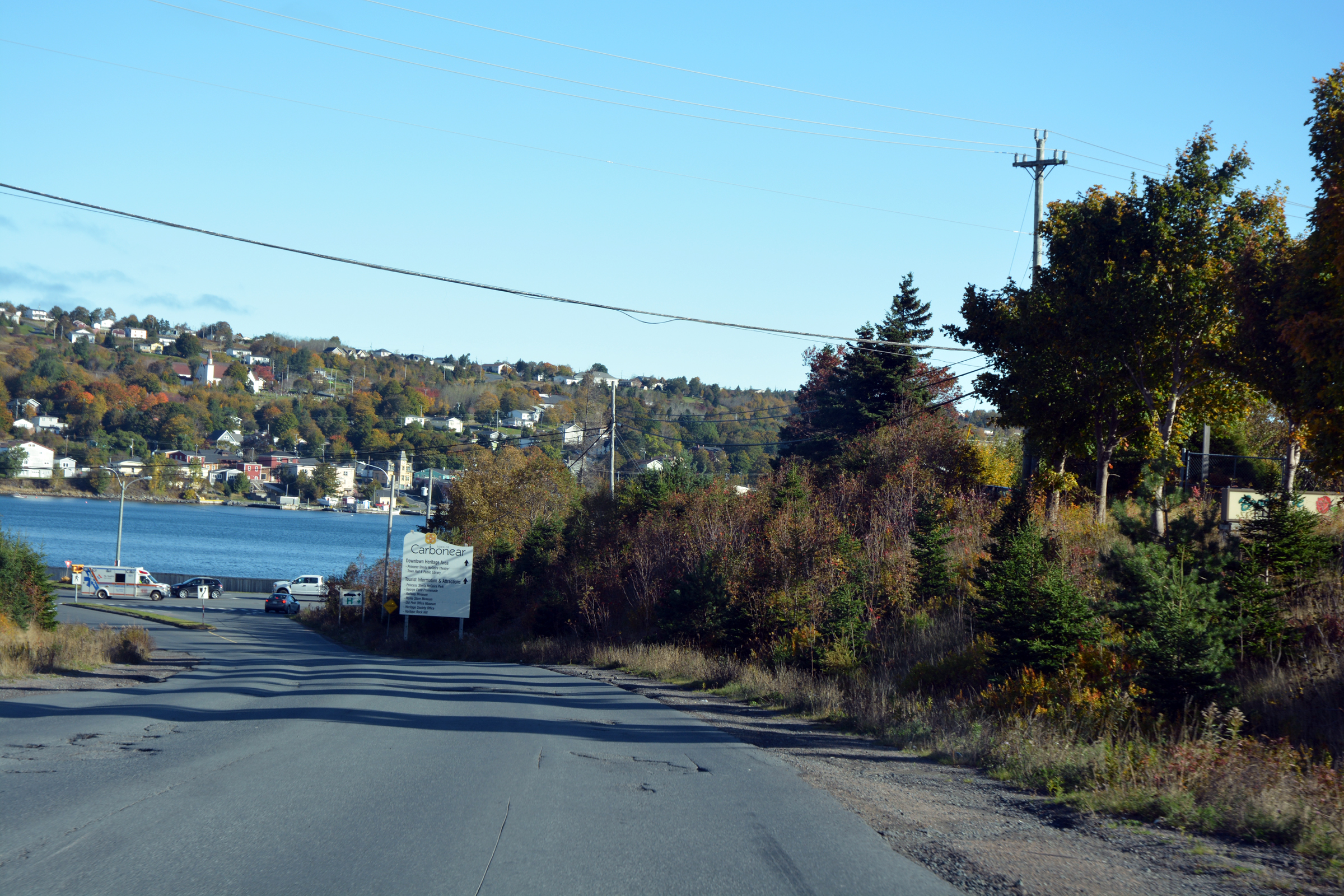
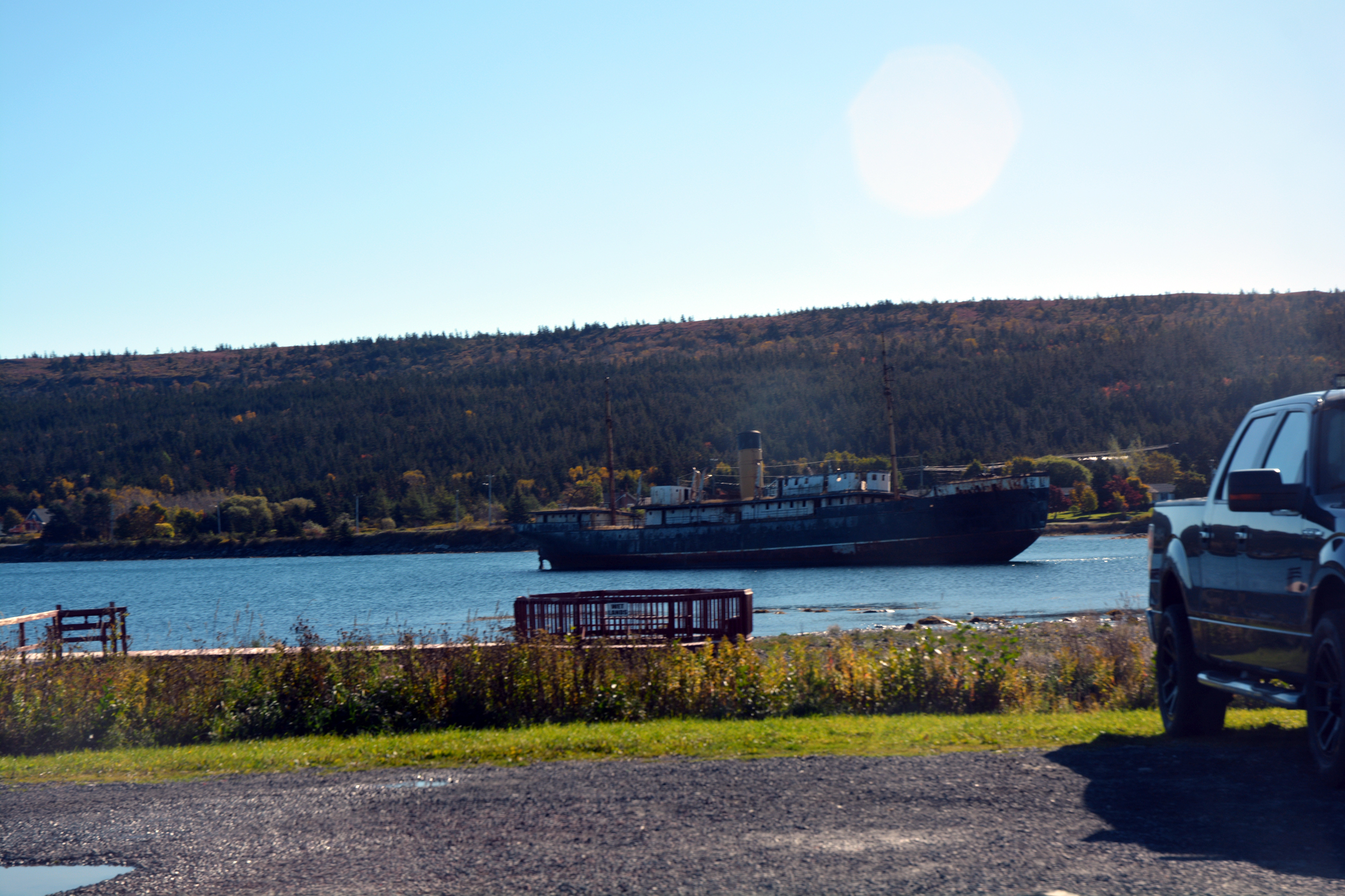
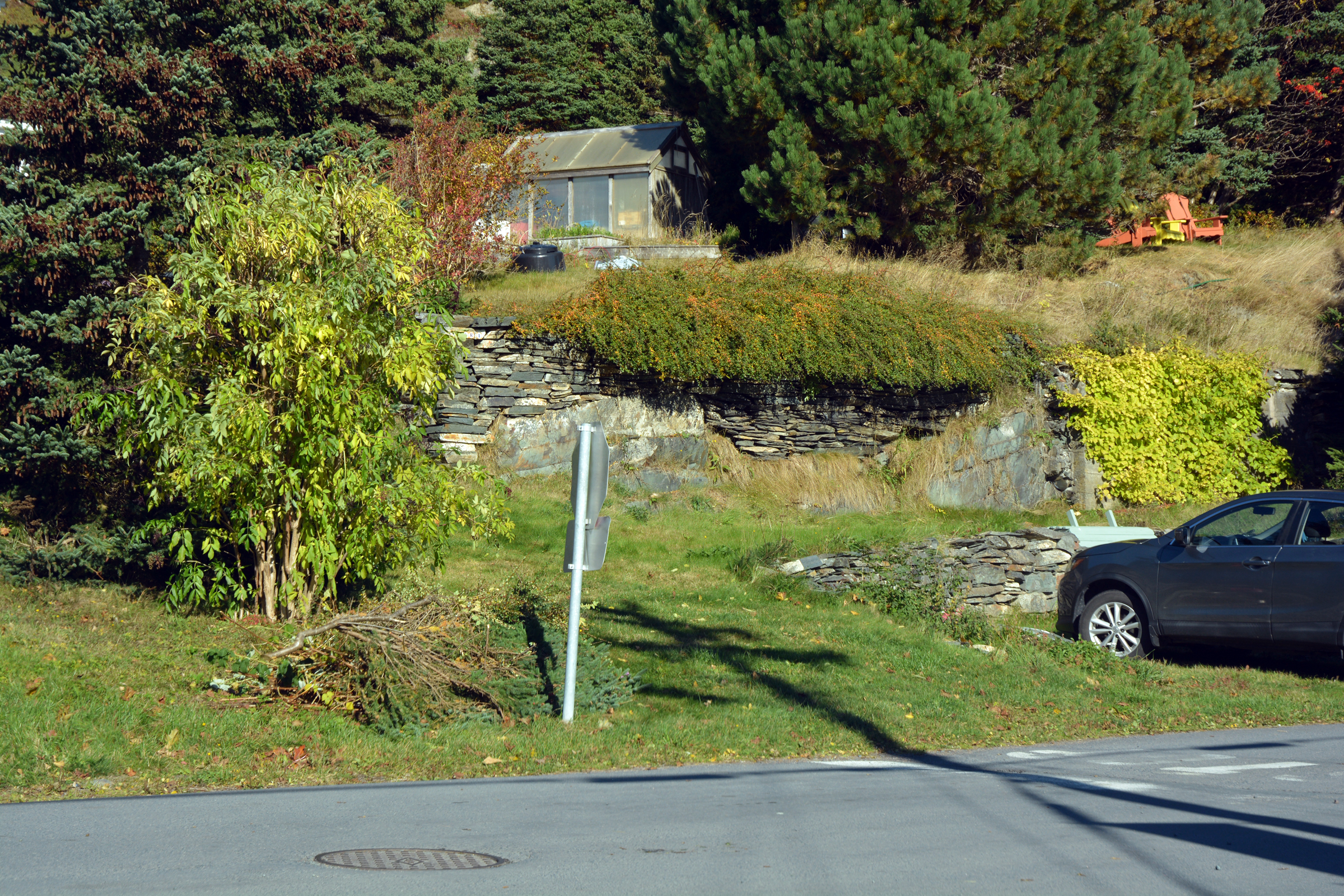
Carbonear was a major fishing port in the early days of Newfoundland but today it is the local hub for education, health care and light industry. Overlooking the harbour is Harbour Rock Hill Park.
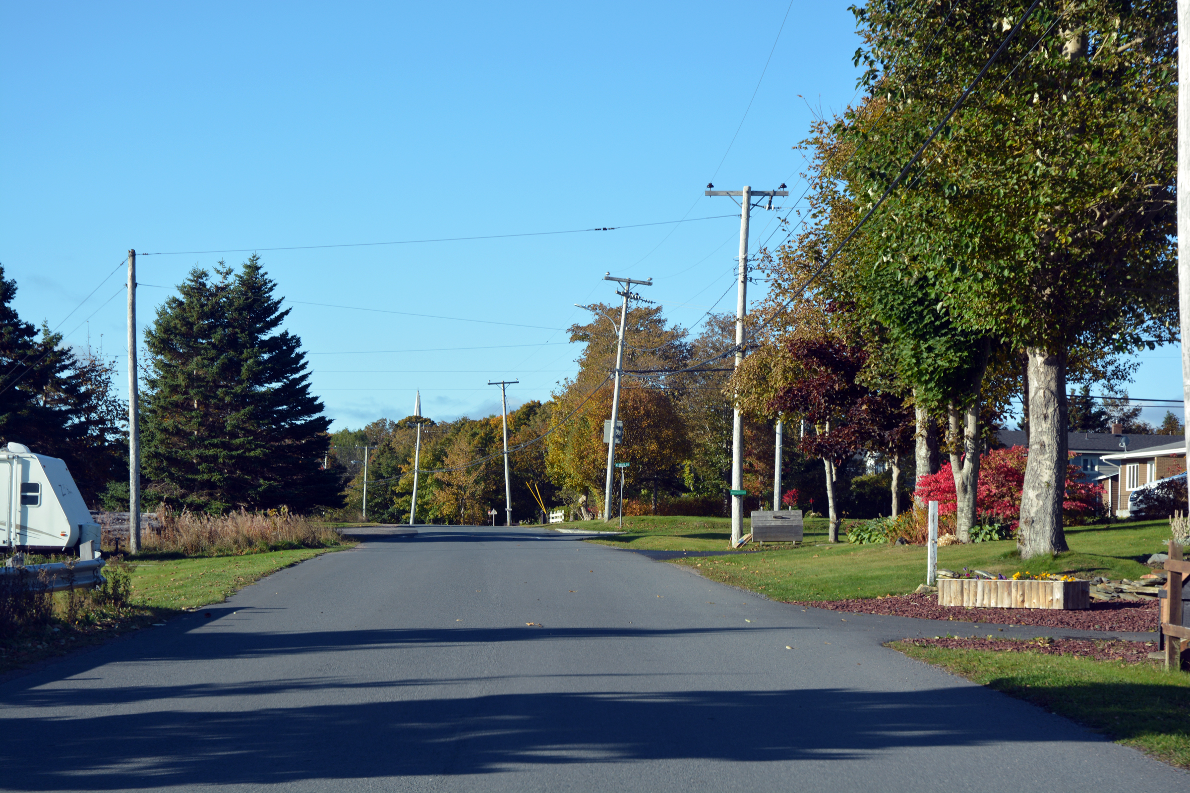
| The coast at Harbour Grace |
|
Driving back through Harbour Grace |
|
|
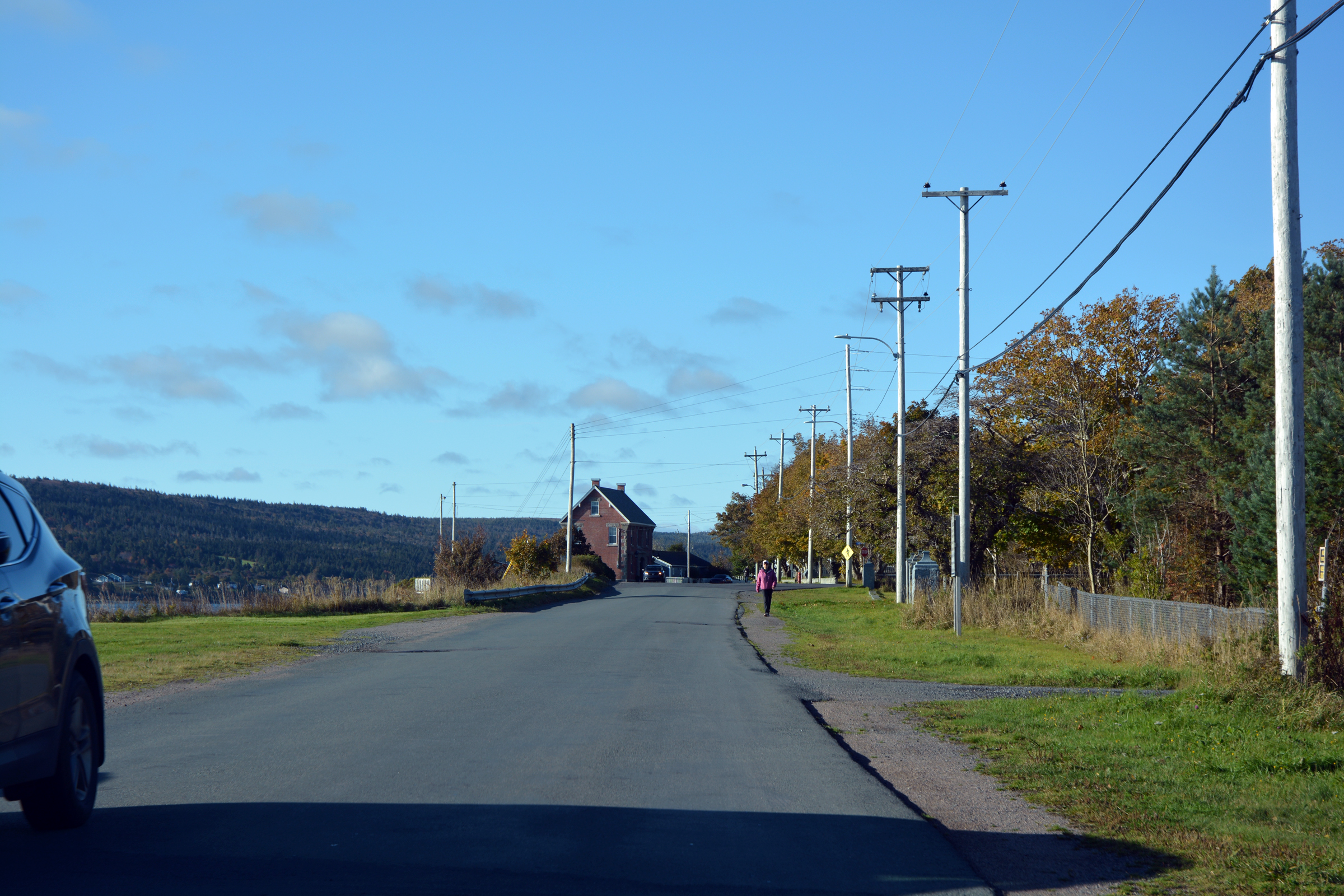
The Harbour Grace Hotel |
|
The Catholic Church in the distance |
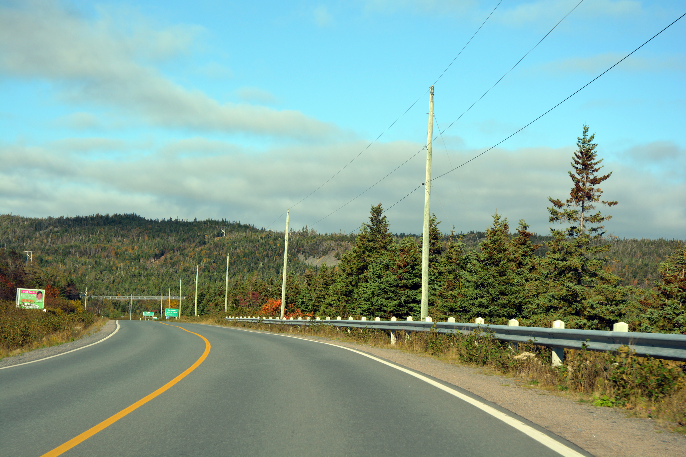
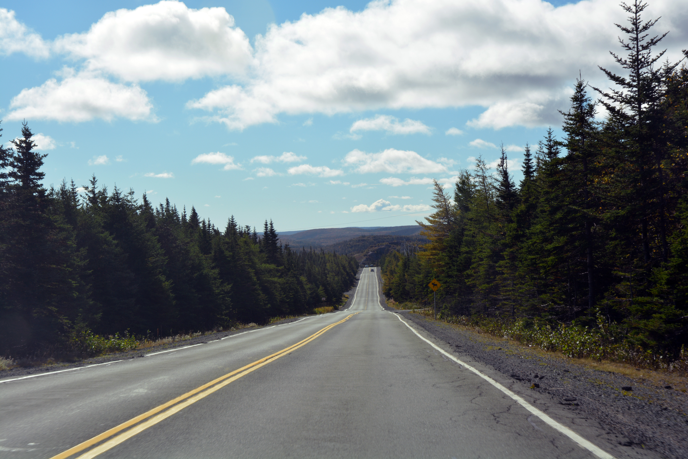
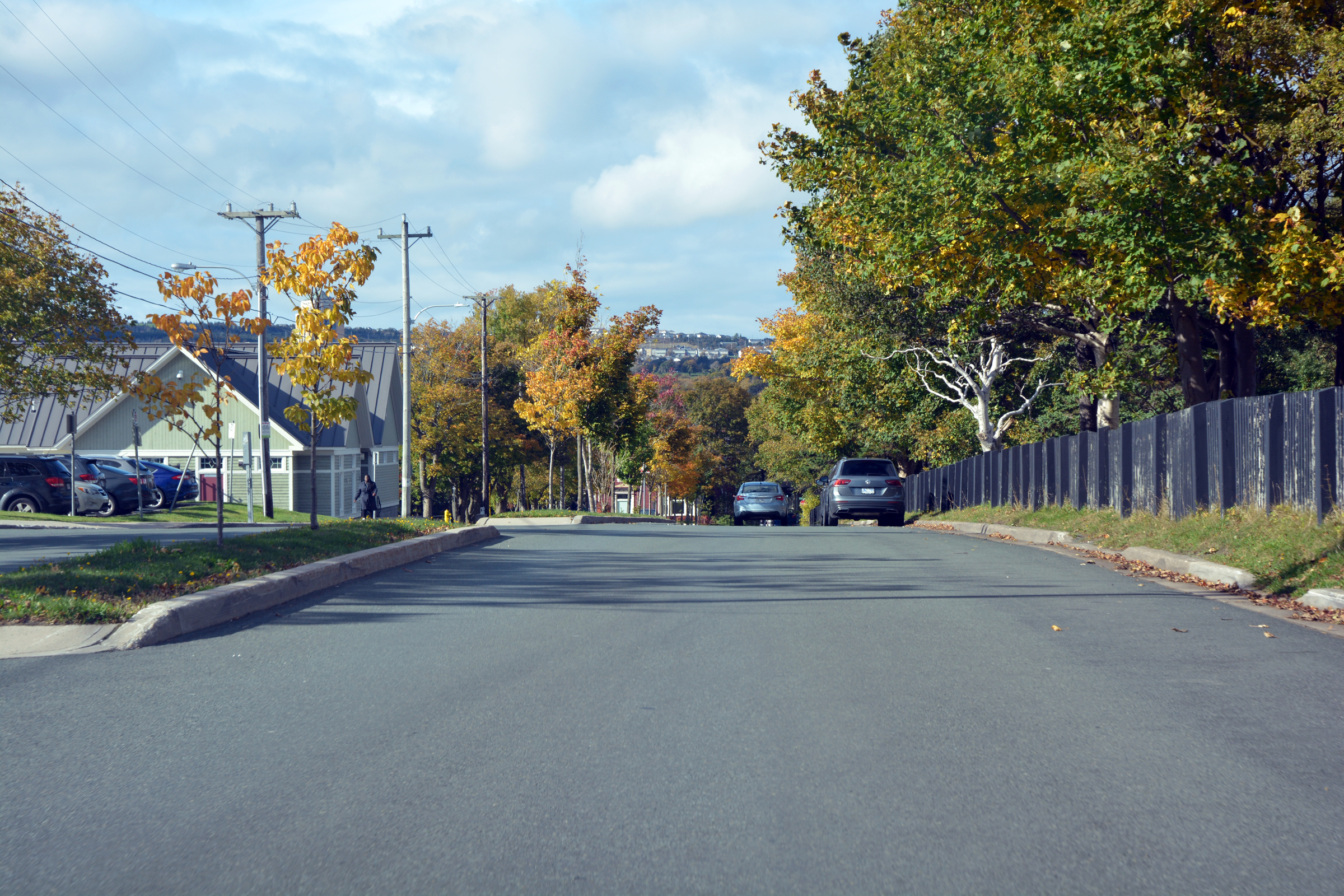
The road north towards Carbonear |
|
|
|
|
|
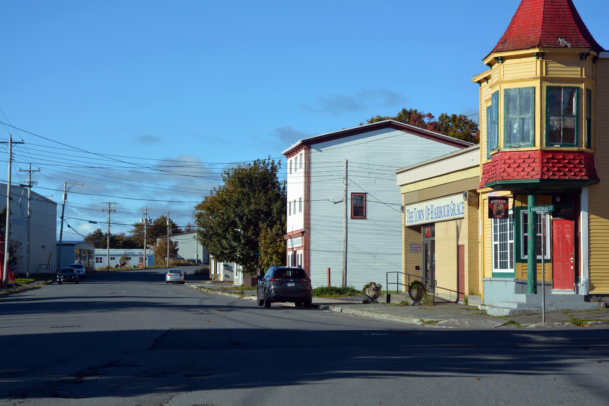
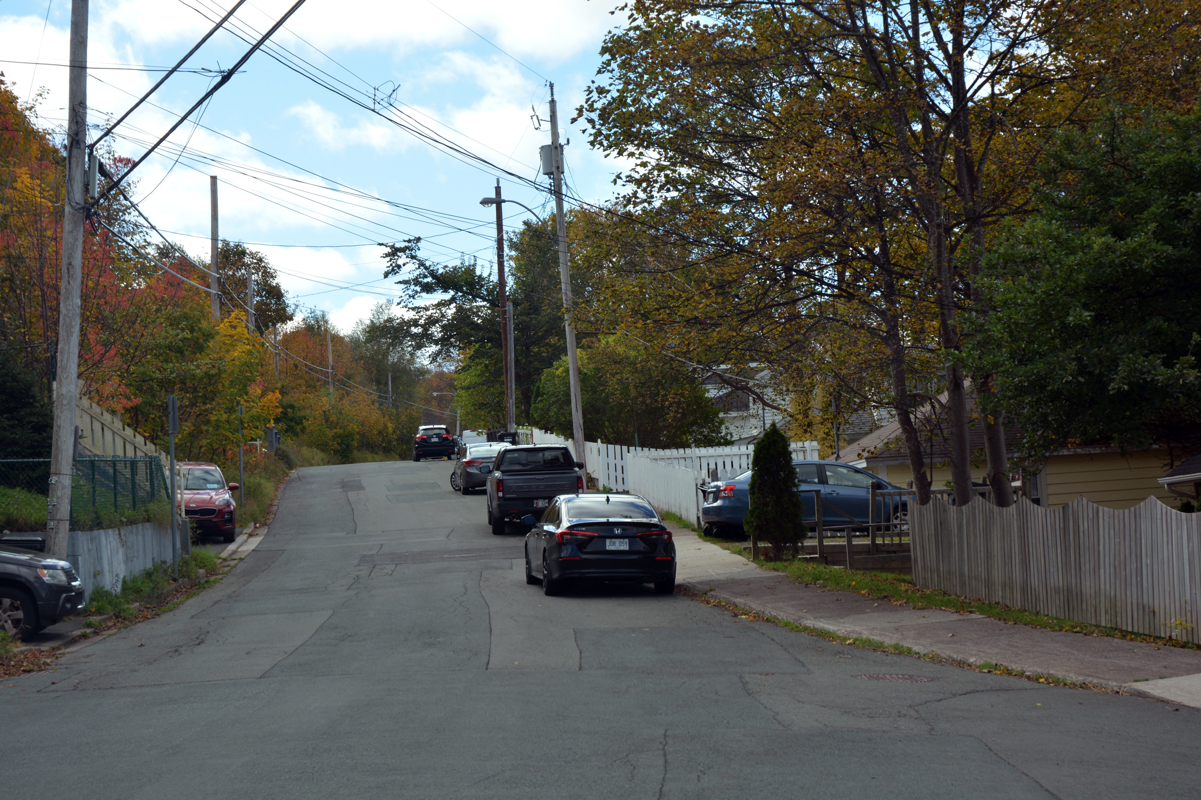
Entering Carbonear |
|
|
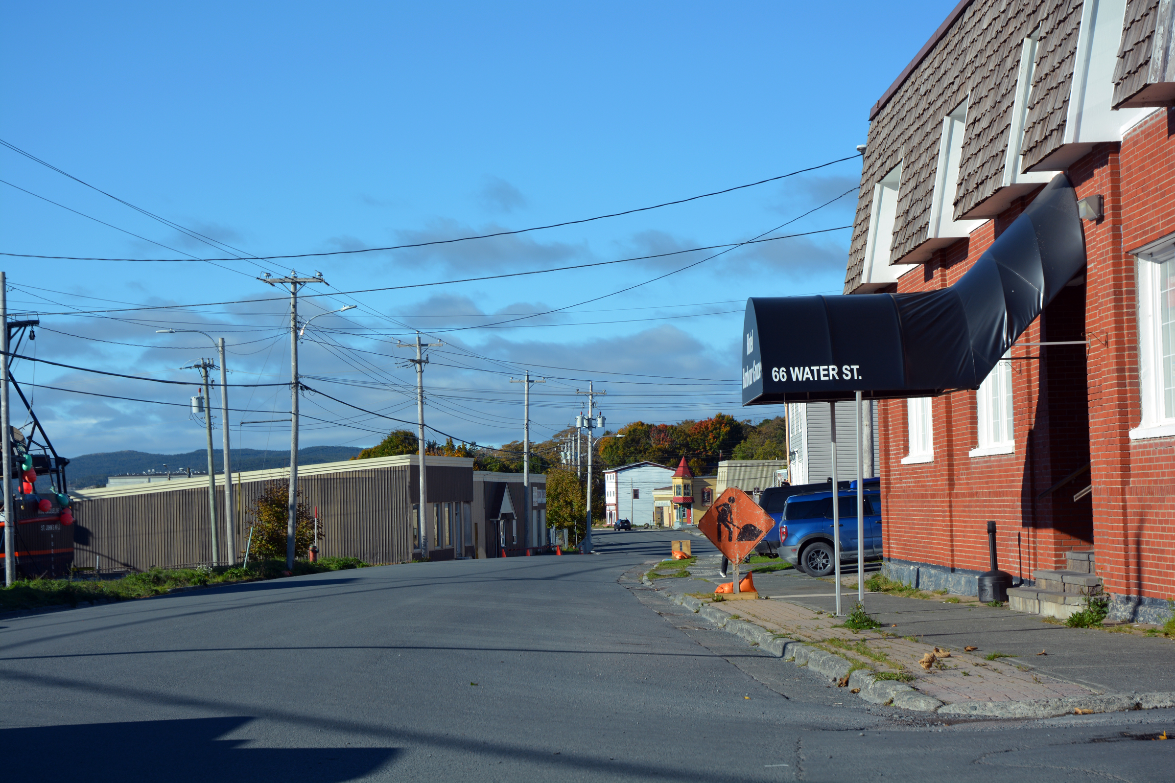
The Stone Jug Hotel and Restaurant. |
|
|
|
|
|
|
|
|
|
|
|
A Shell Gas Station. Fuel at $1.66/litre |
|
|
|
|
|
|
|
|
Halloween or Thanksgiving?? |
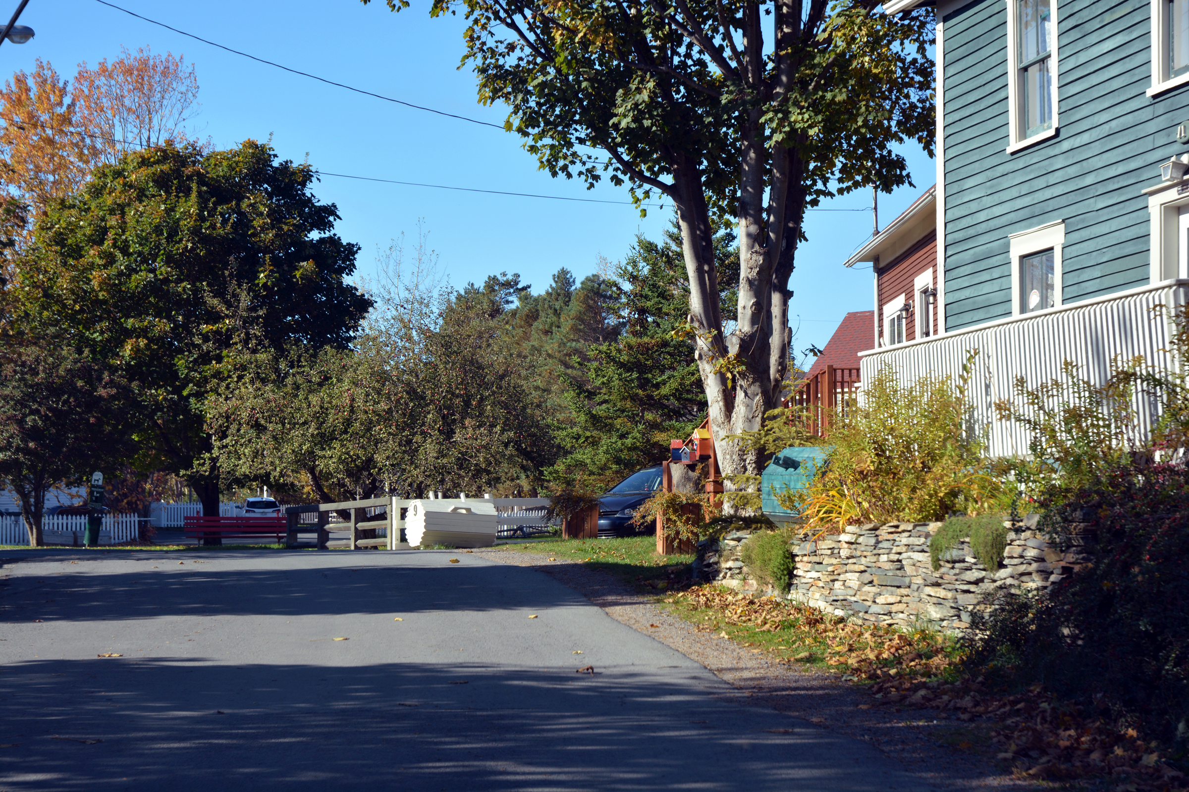
South to Brigus, Newfoundland
We returned past Harbour Grace and turned off to the old town of Brigus. Its streets were narrow and went at crazy angles. It was a quaint town and it would have been interesting to have stayed there
and explored further. We retuned to the main highway, via a road undergoing a major rebuild; rejoined the TCH 1 and joined the traffic rushing towards Saint Johns.
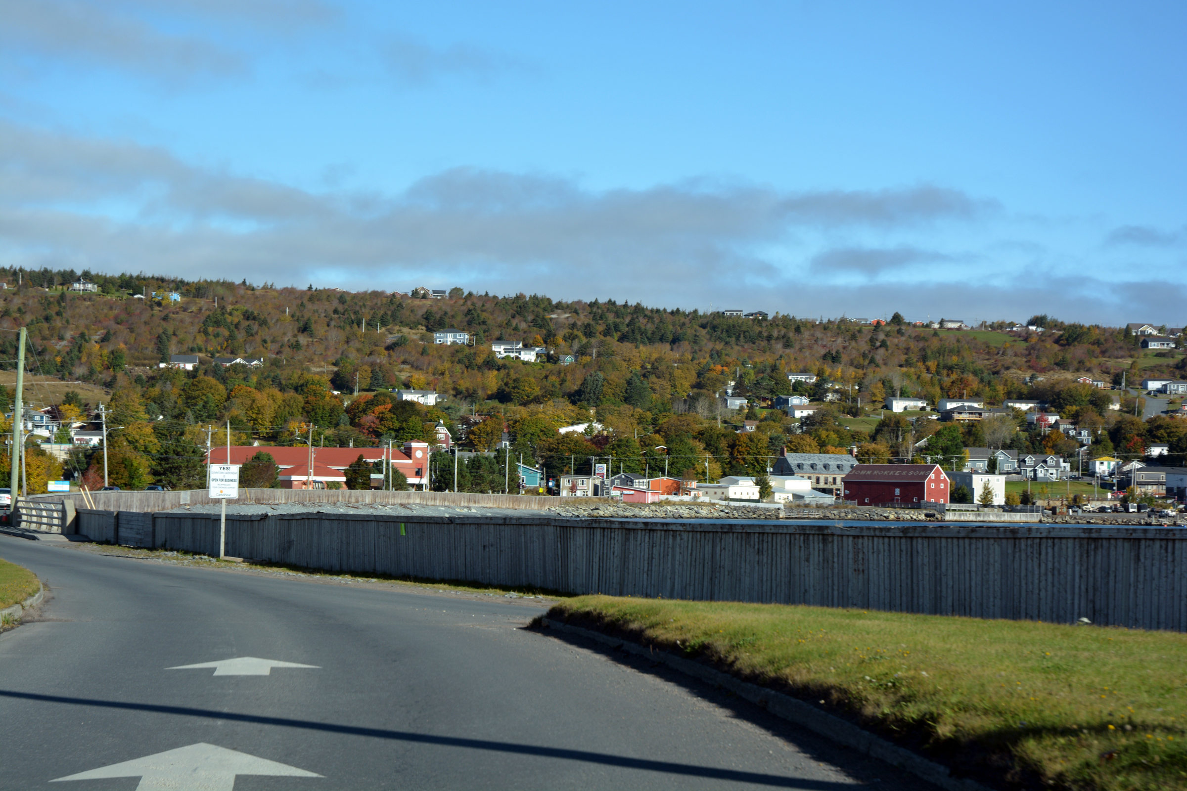
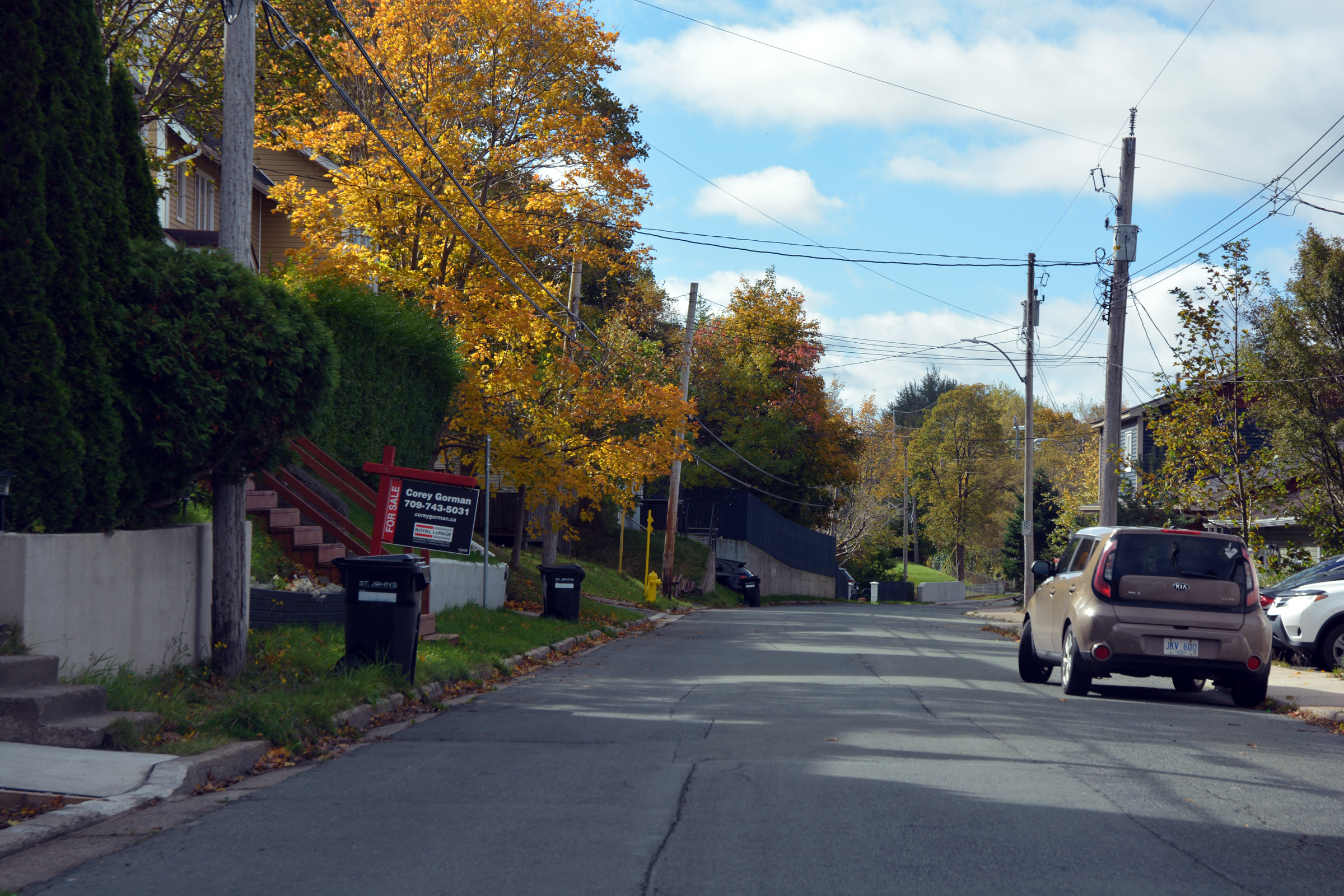
| Geeting out of Carbonear |
|
|
|
Back to Harbour Grace and the Ameolia Earhart Memorial |
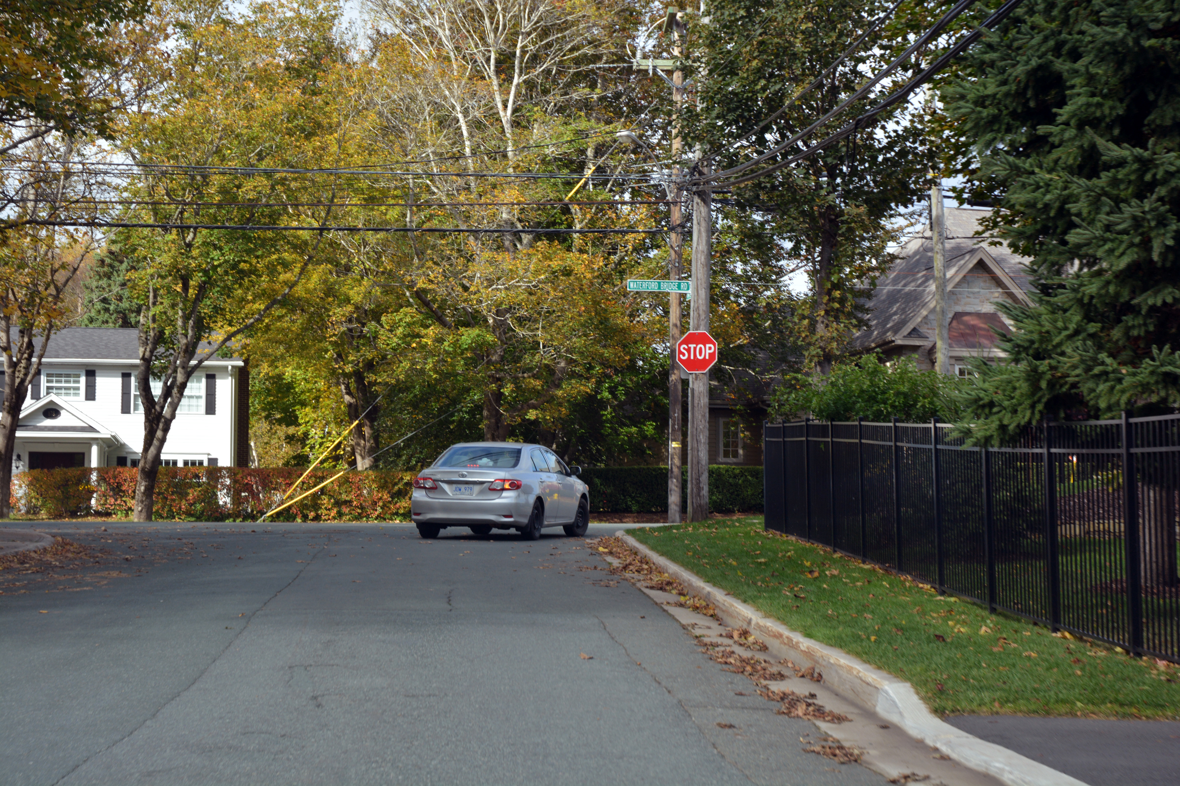
Another STOP sign that looks like an after-thought. |
|
|
|
|
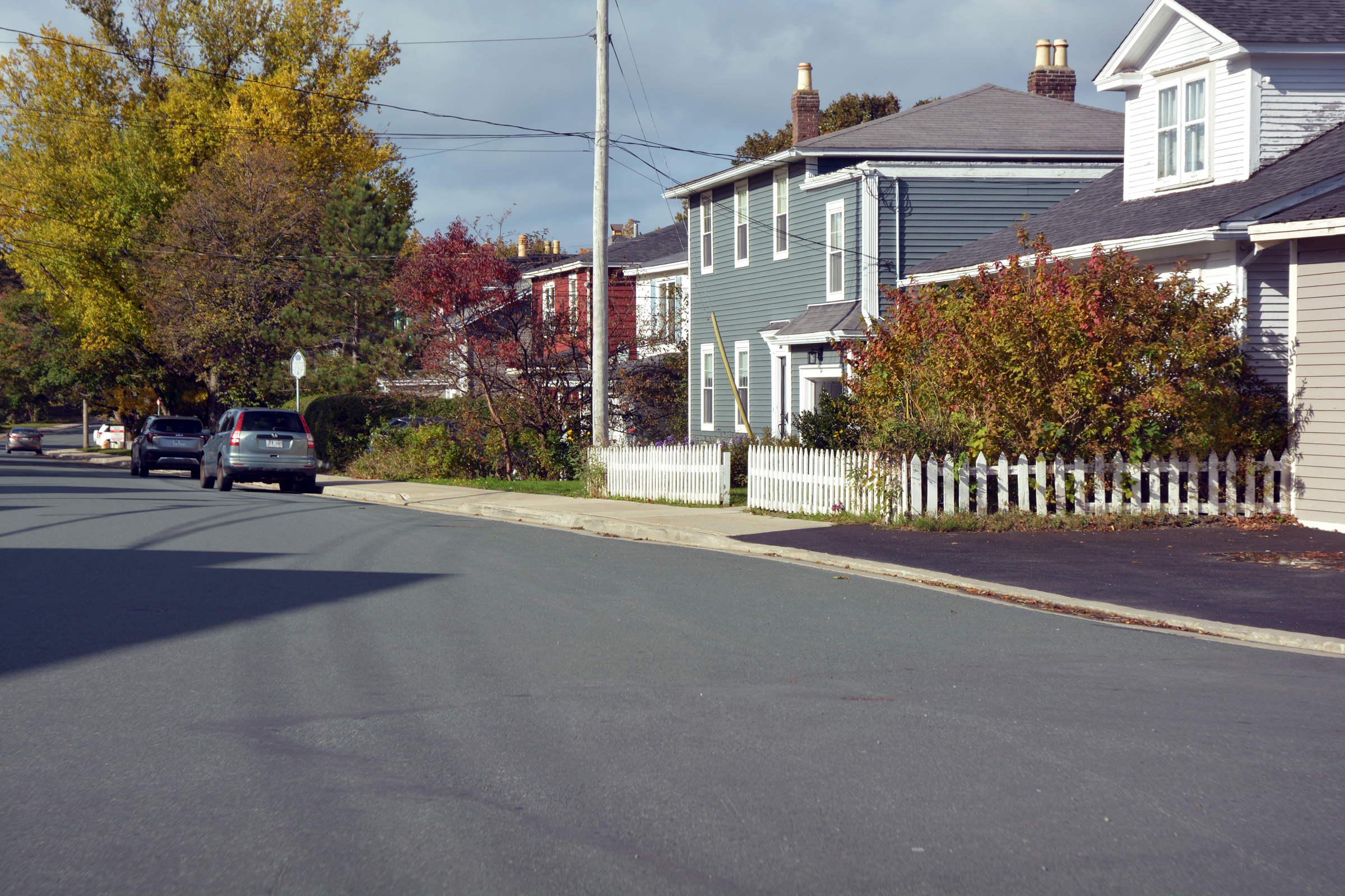
The road into Brigus |
|
|
|
|
| Brigus has lovely tree-lined streets |
|
|
|
|
|
| but they go at crazy angles. |
|
|
|
|
|
|
|
|
|
|
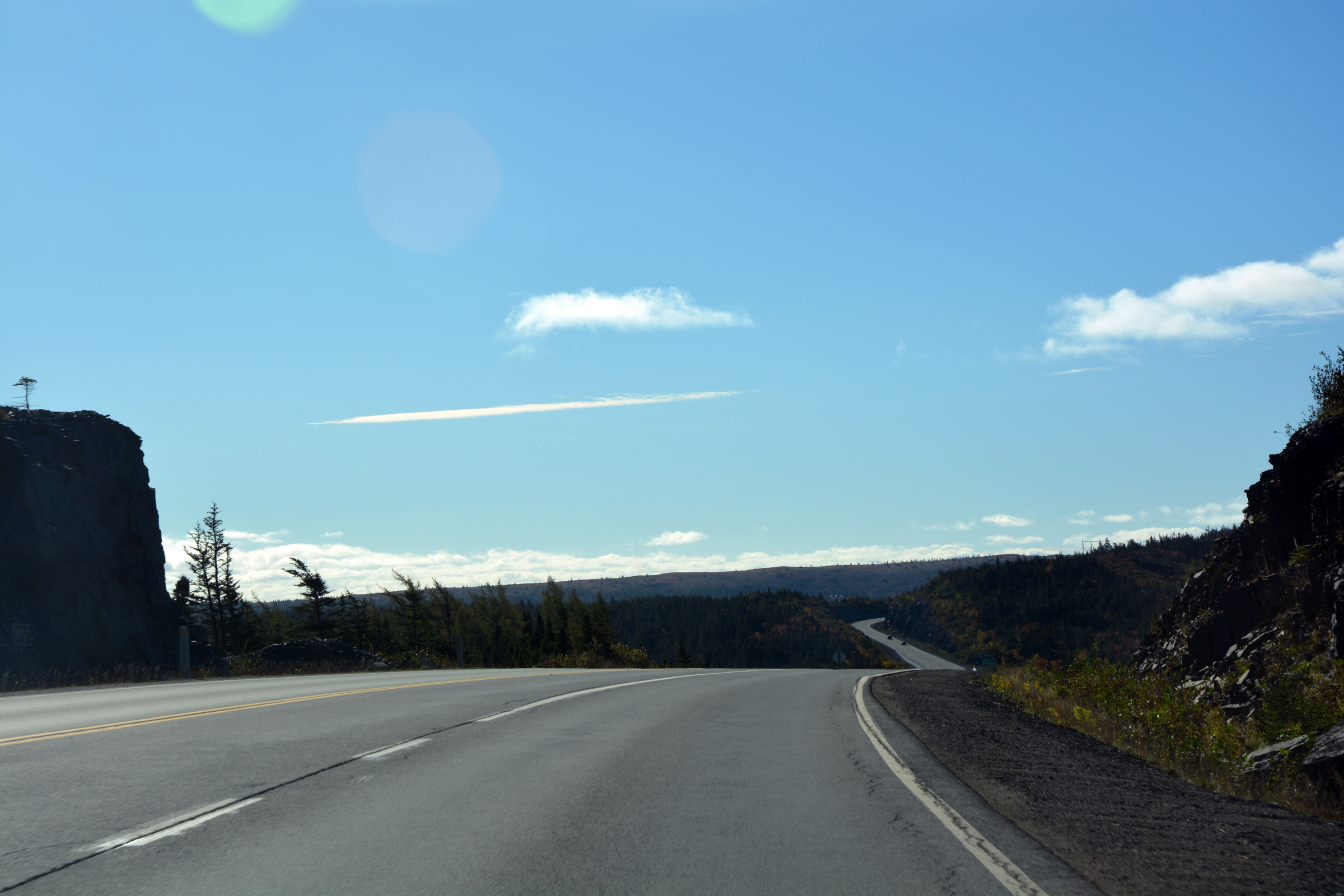
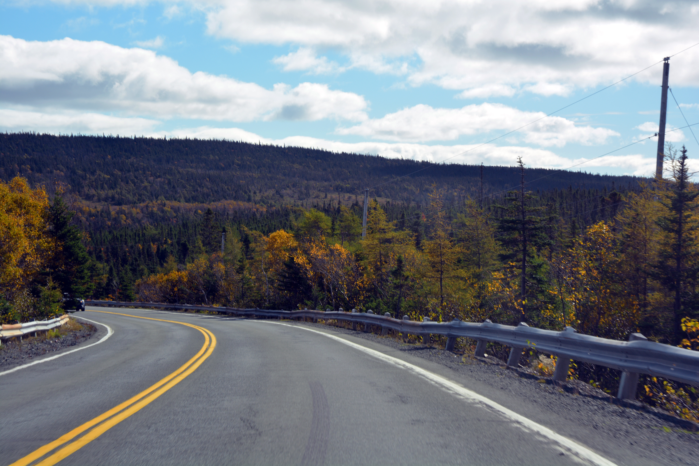
Route 60 West |
|
|
|
|
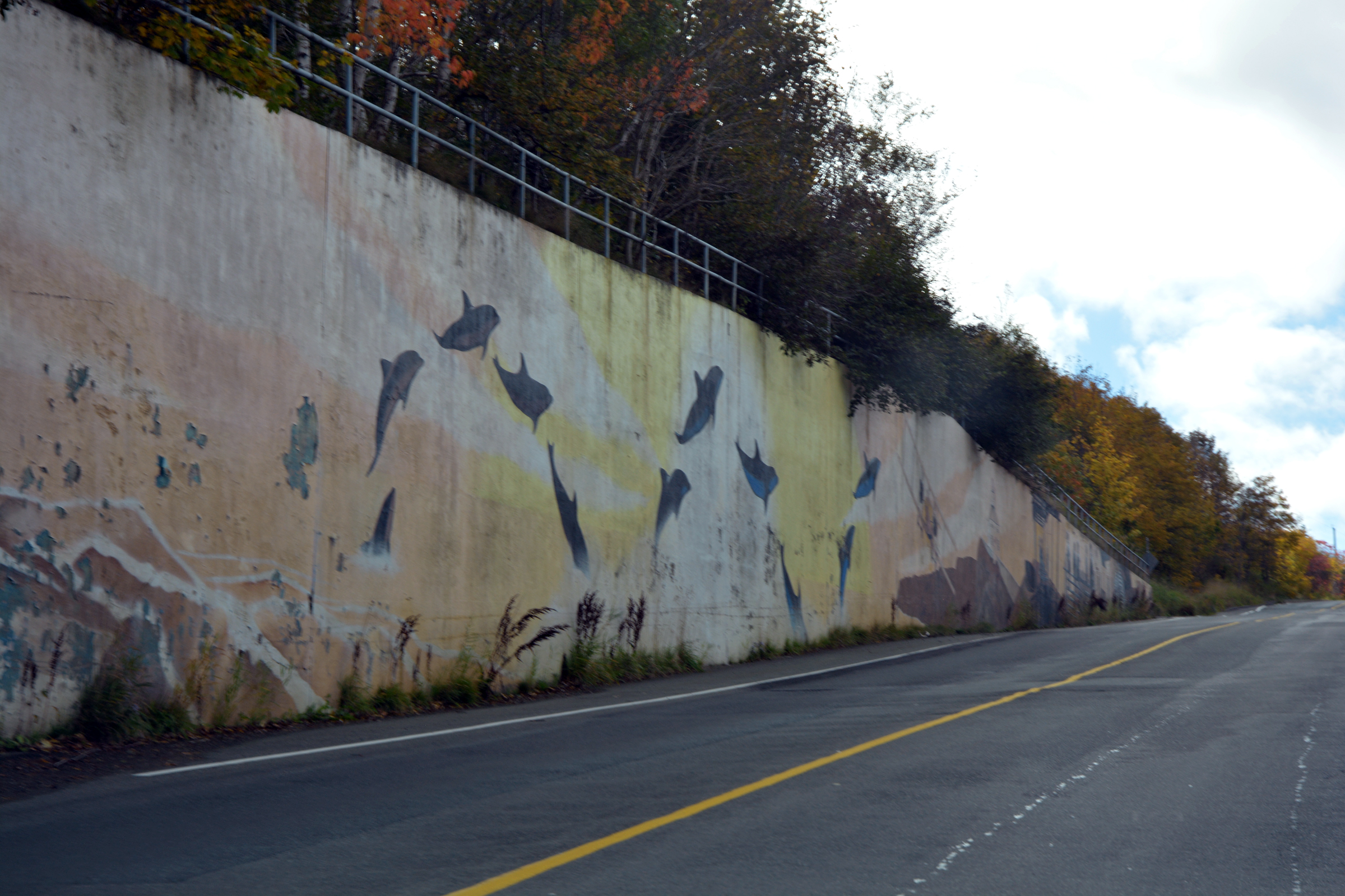
The beginning of 5km of roadworks |
|
|
|
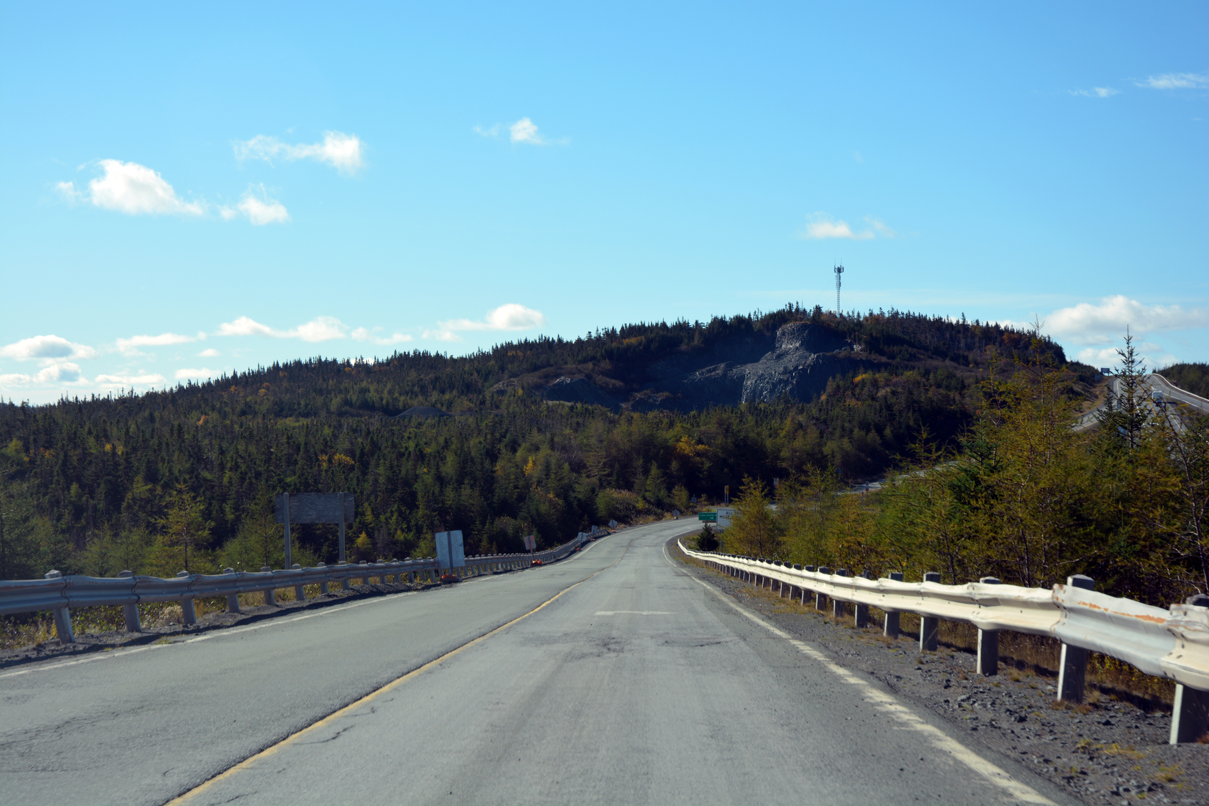
Finally back on the TCH. |
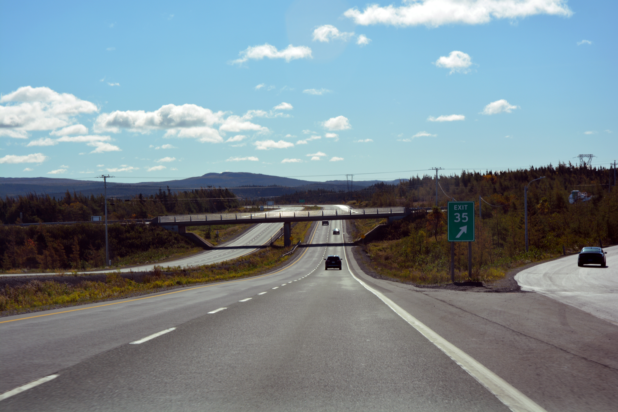
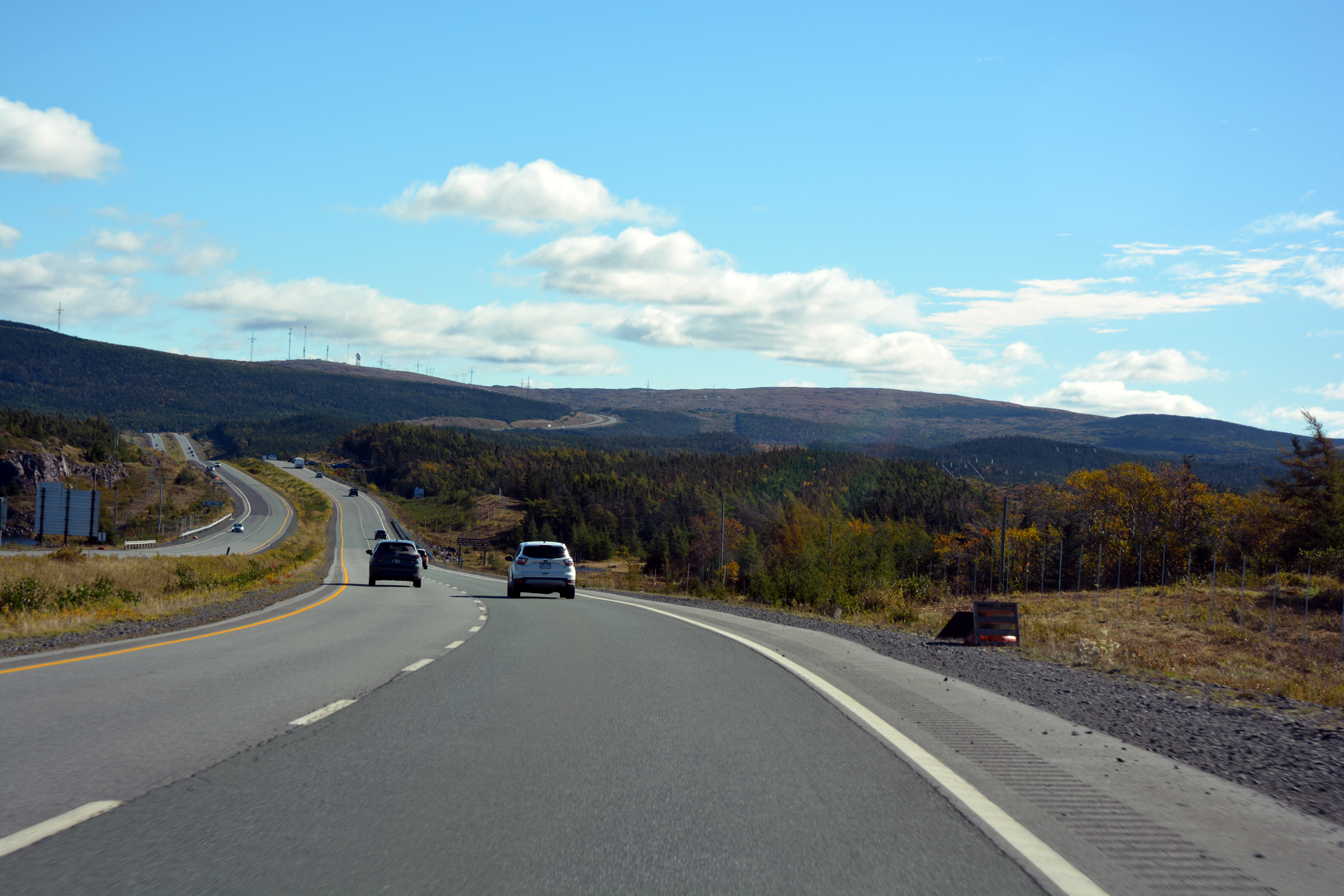
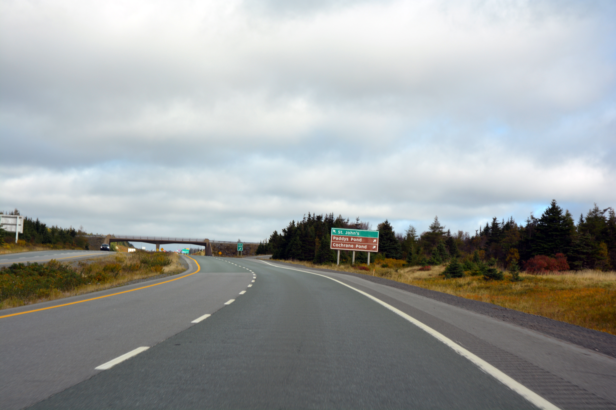
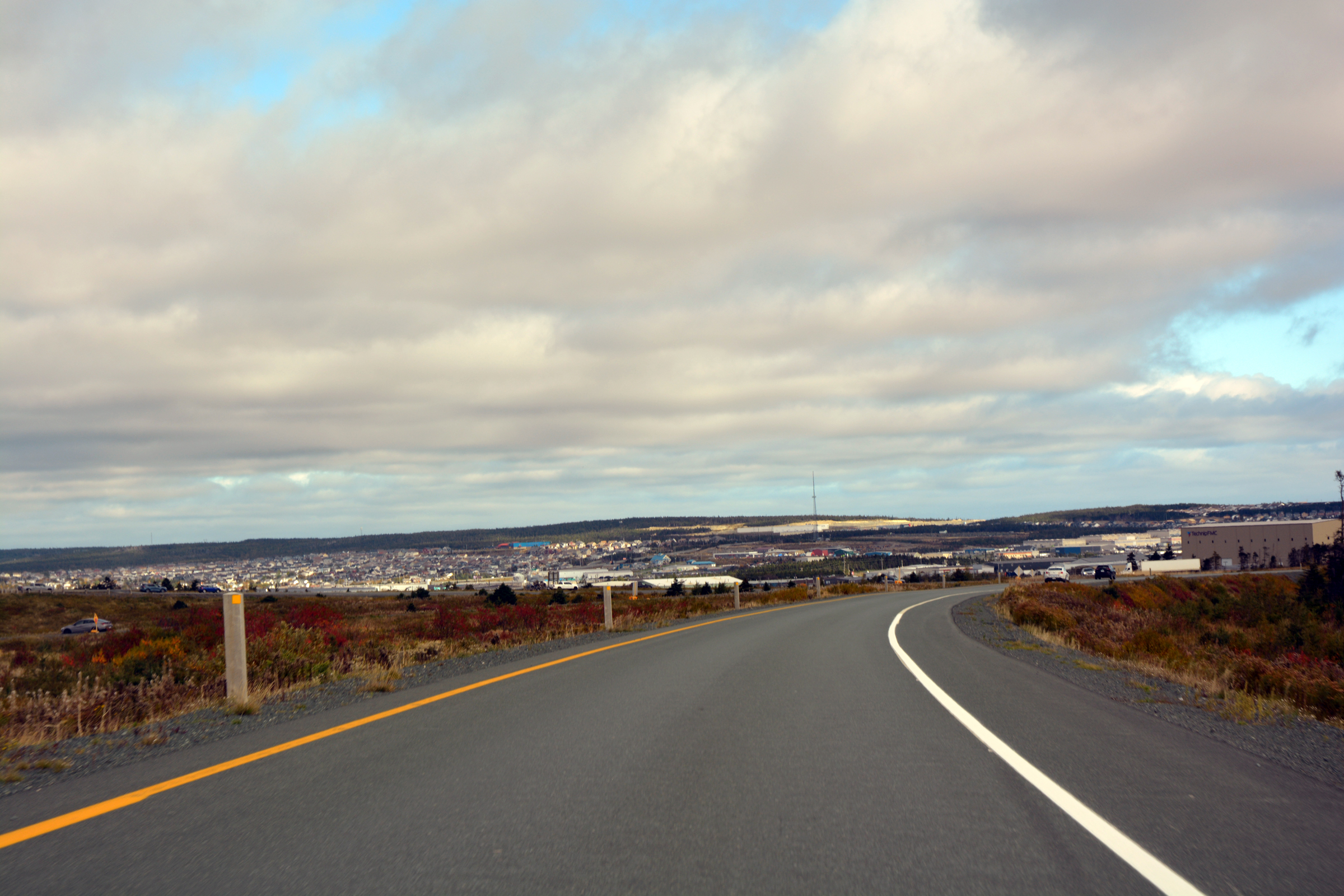
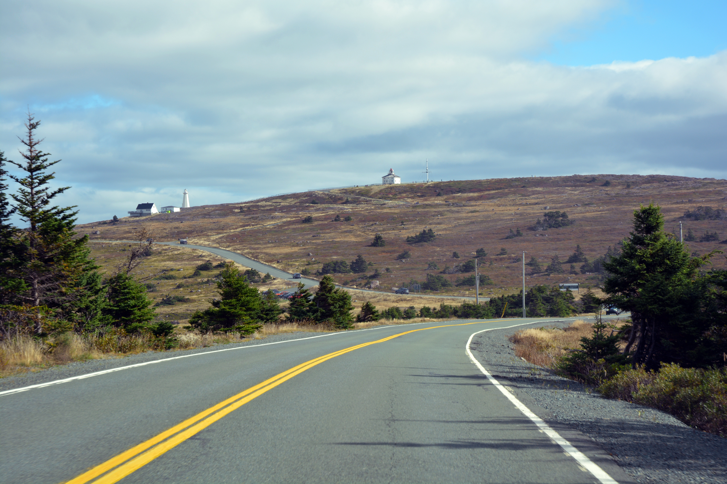
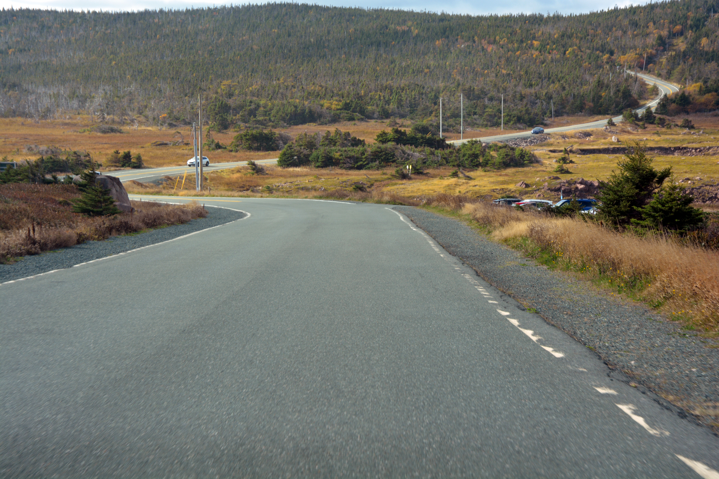
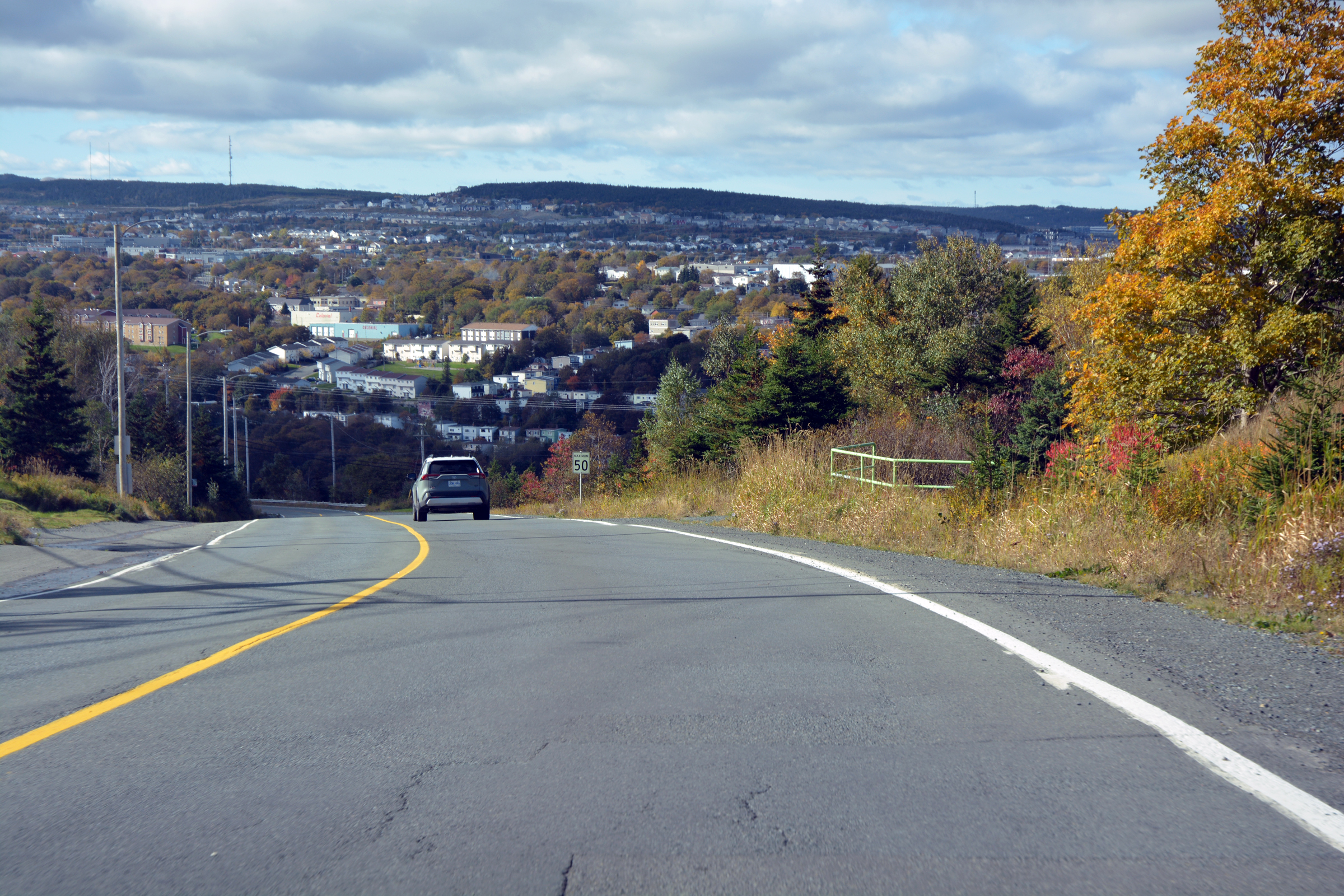
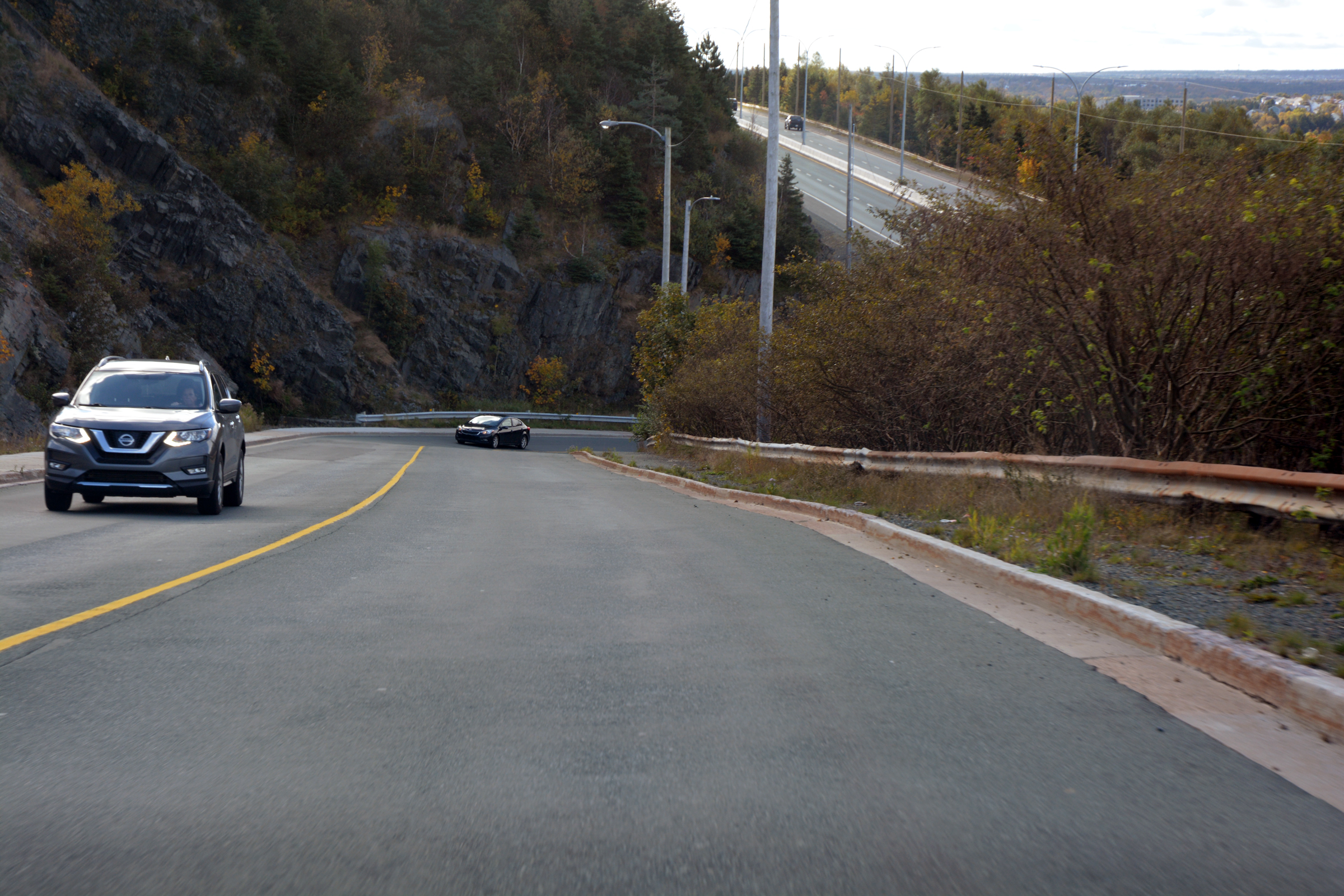
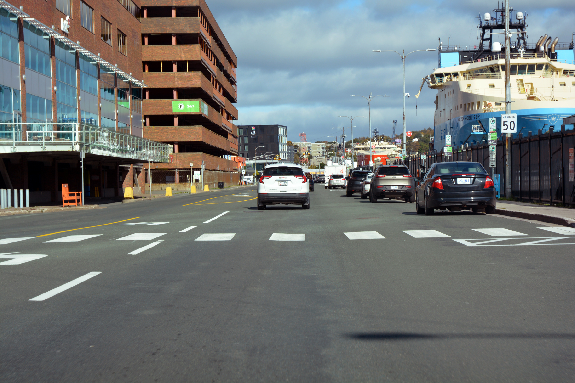
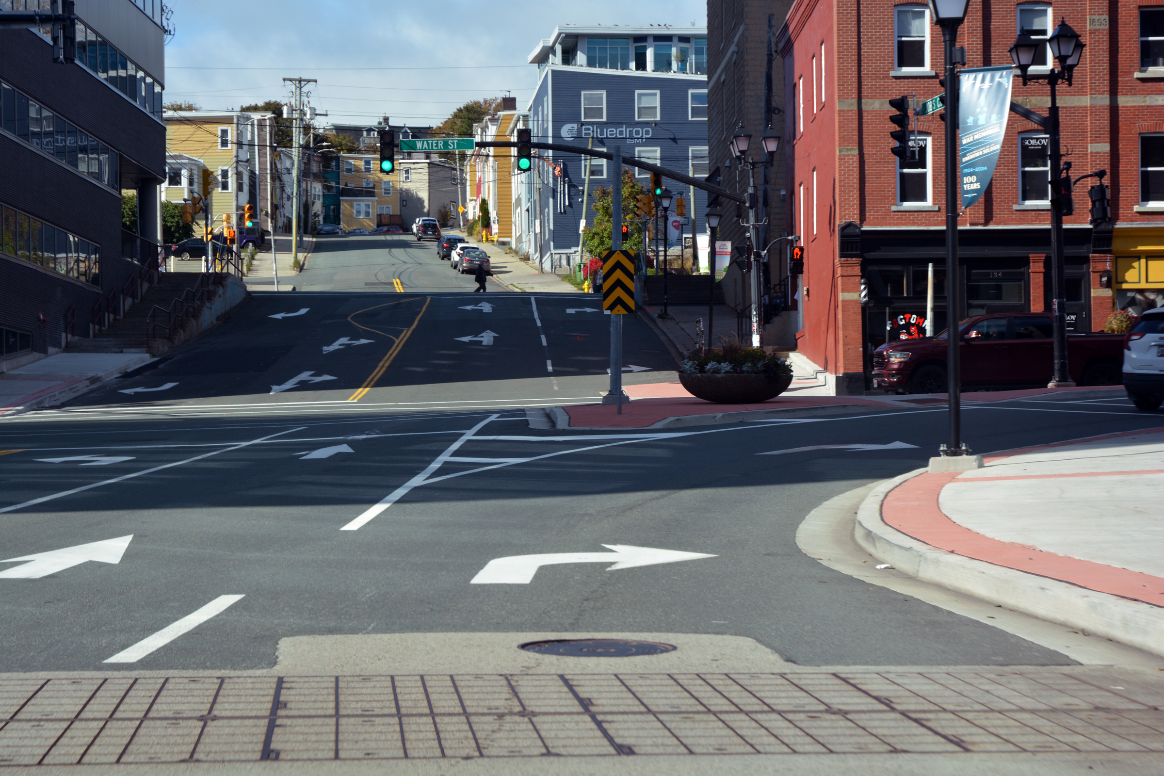
The Road to St John's and Cape Spear, Newfoundland
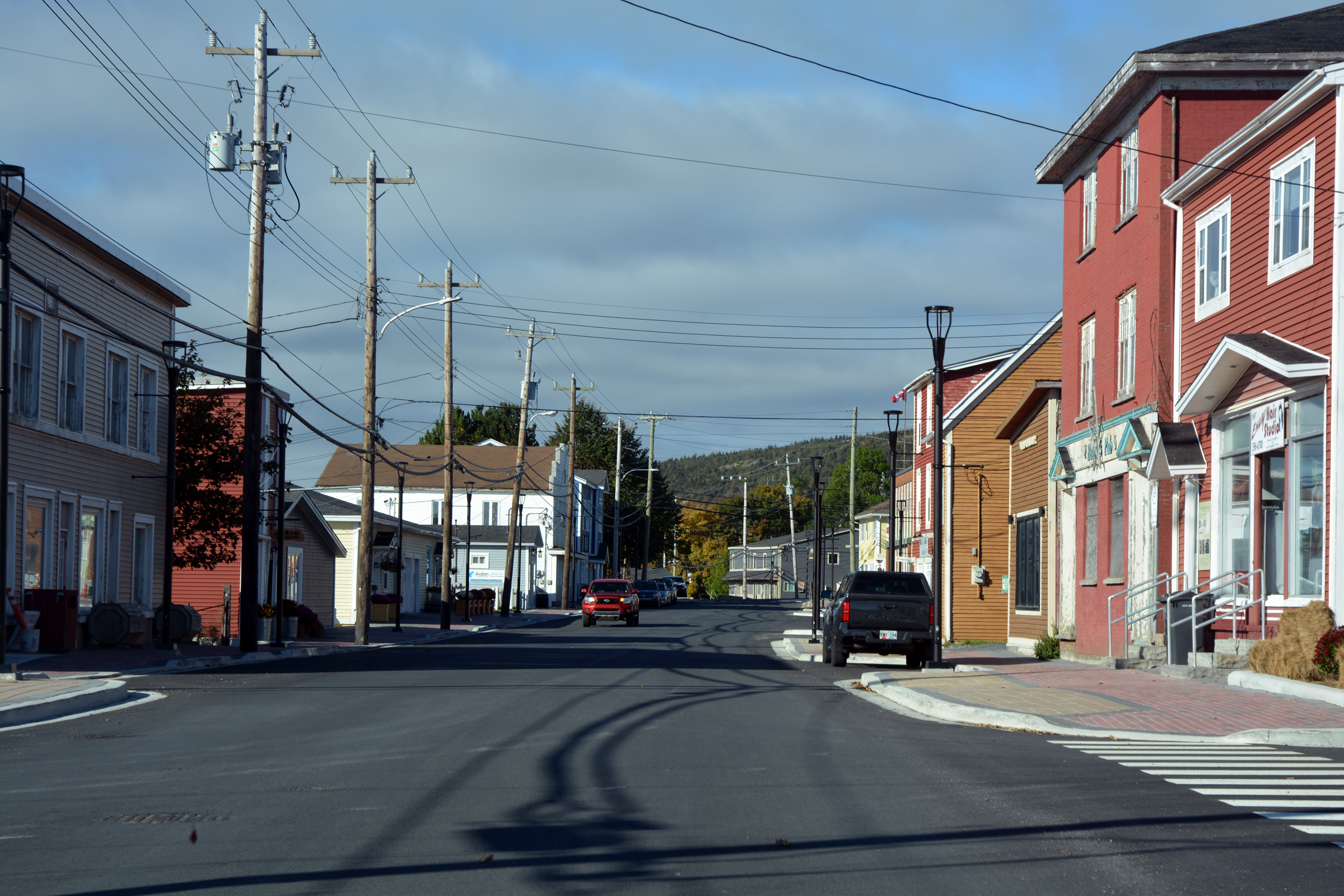
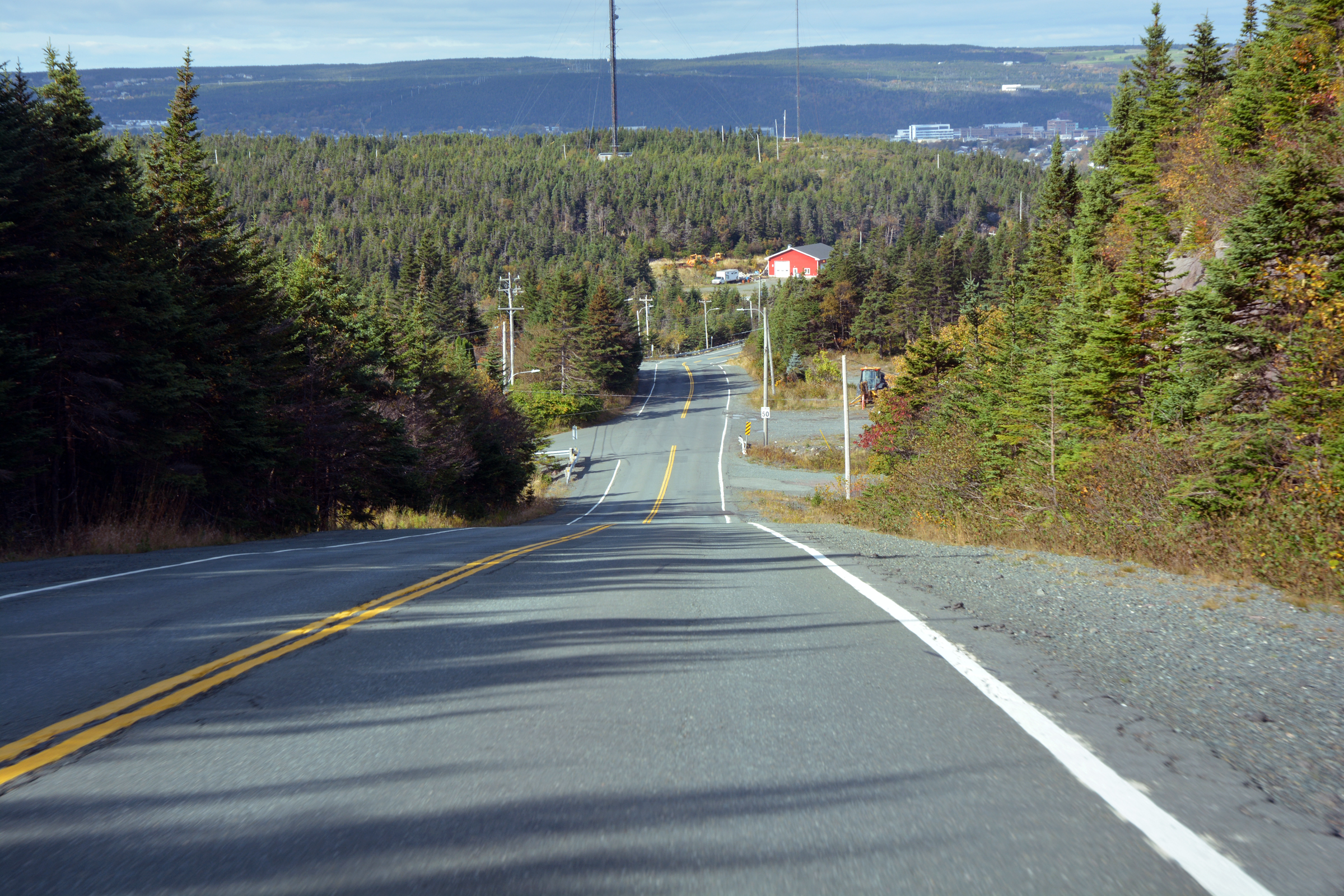
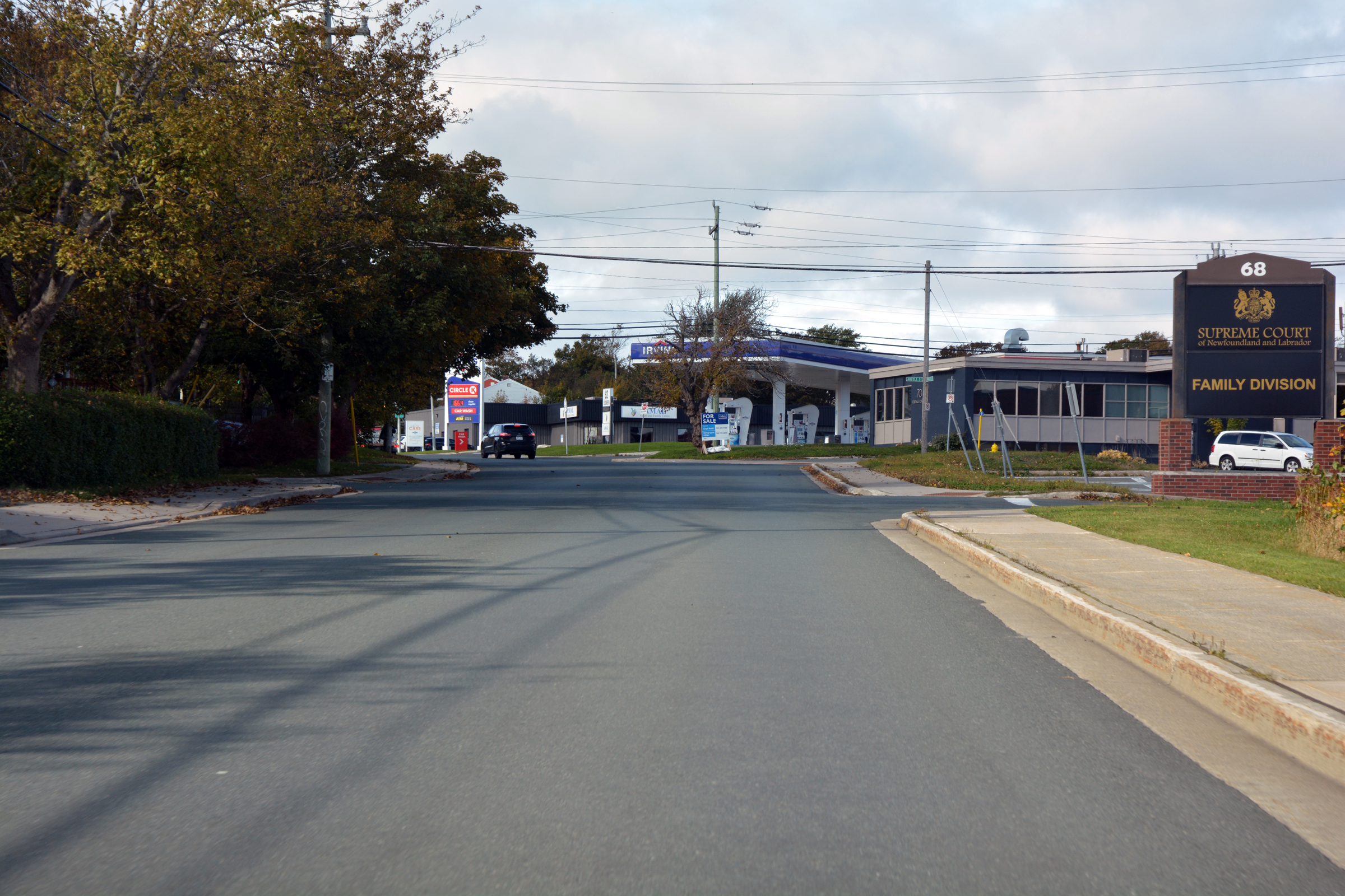
The TCH took us into the city of St John's Newfoundland, where we turned off, heading for Cape Spear, the most easterly point of Canada.
| Back on the TCH heading towards St John's. |
|
|
|
|
|
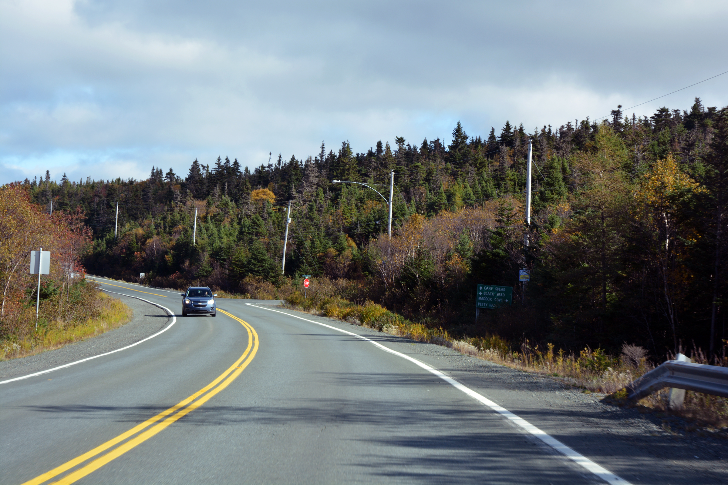
| Anyone for Exit 38? |
|
|
| How about Paddy's Pond? |
|
Entering St John's. |
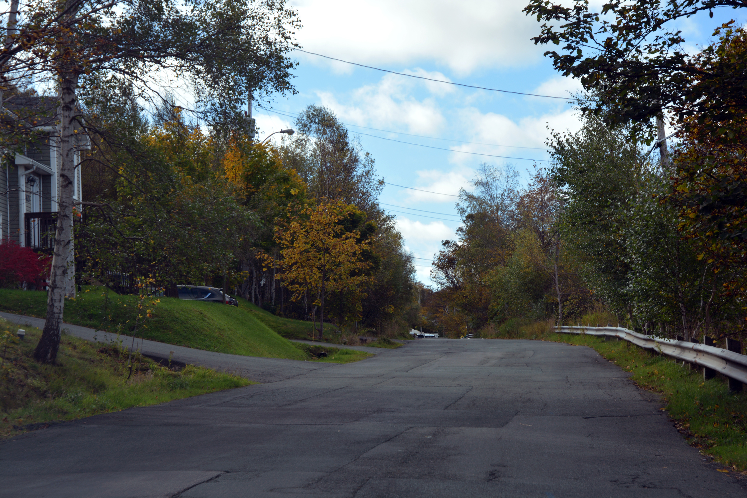
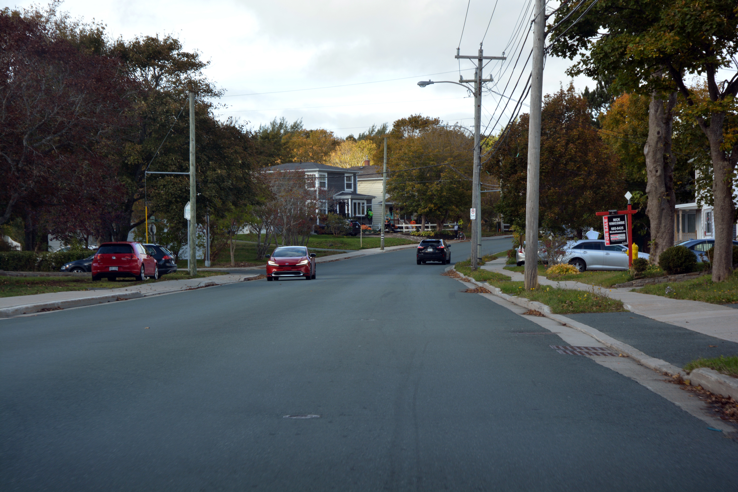
| A missed turn took us along leafy streets.. |
|
|
|
until we found the horse and buggy mural |
|
|
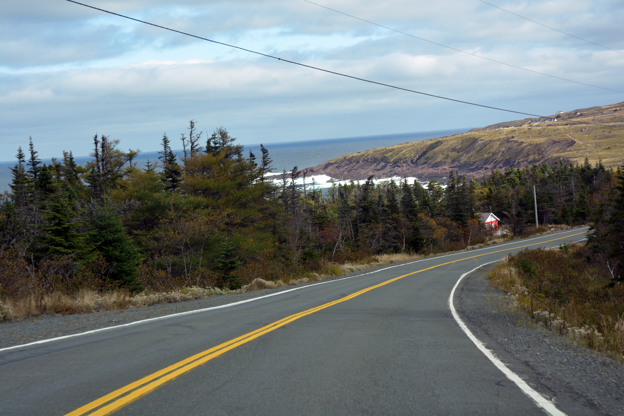
Driving east towards Cape Spear. |
|
|
|
|
|
I spy.. a lighthouse! |
|
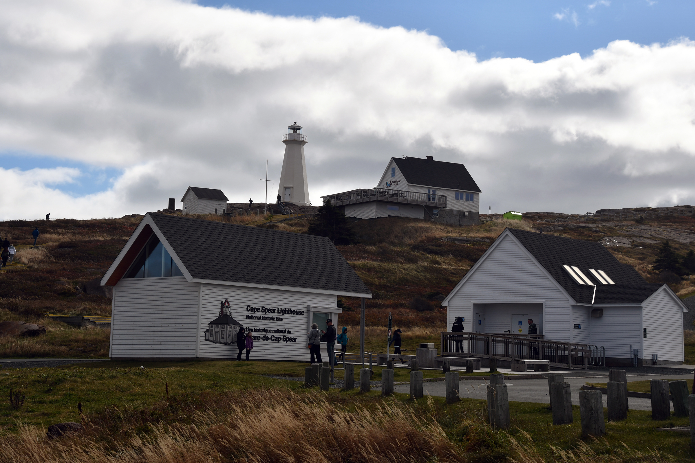
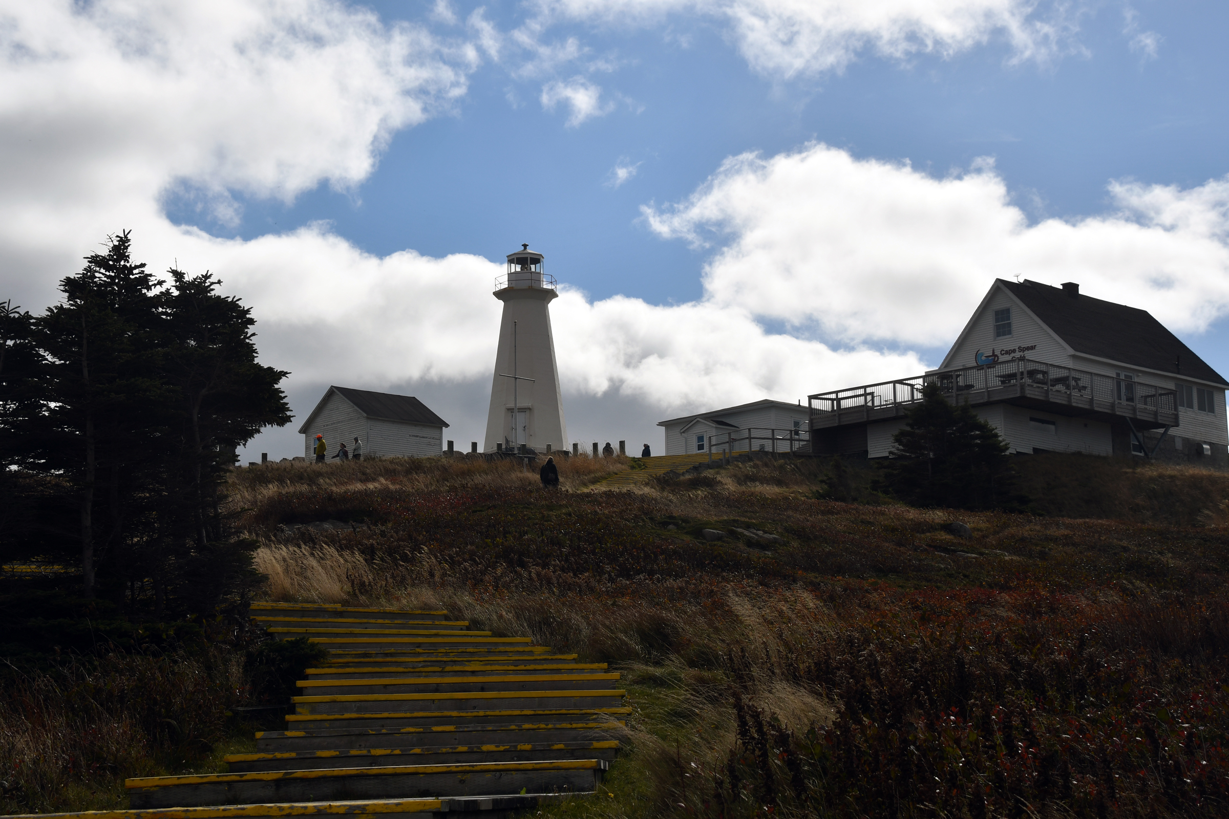
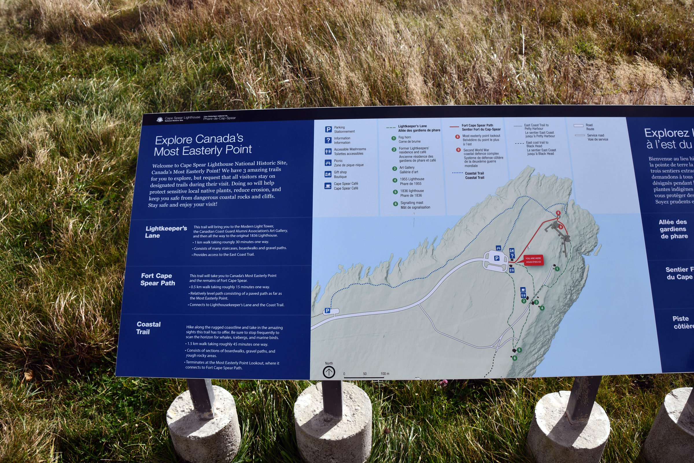
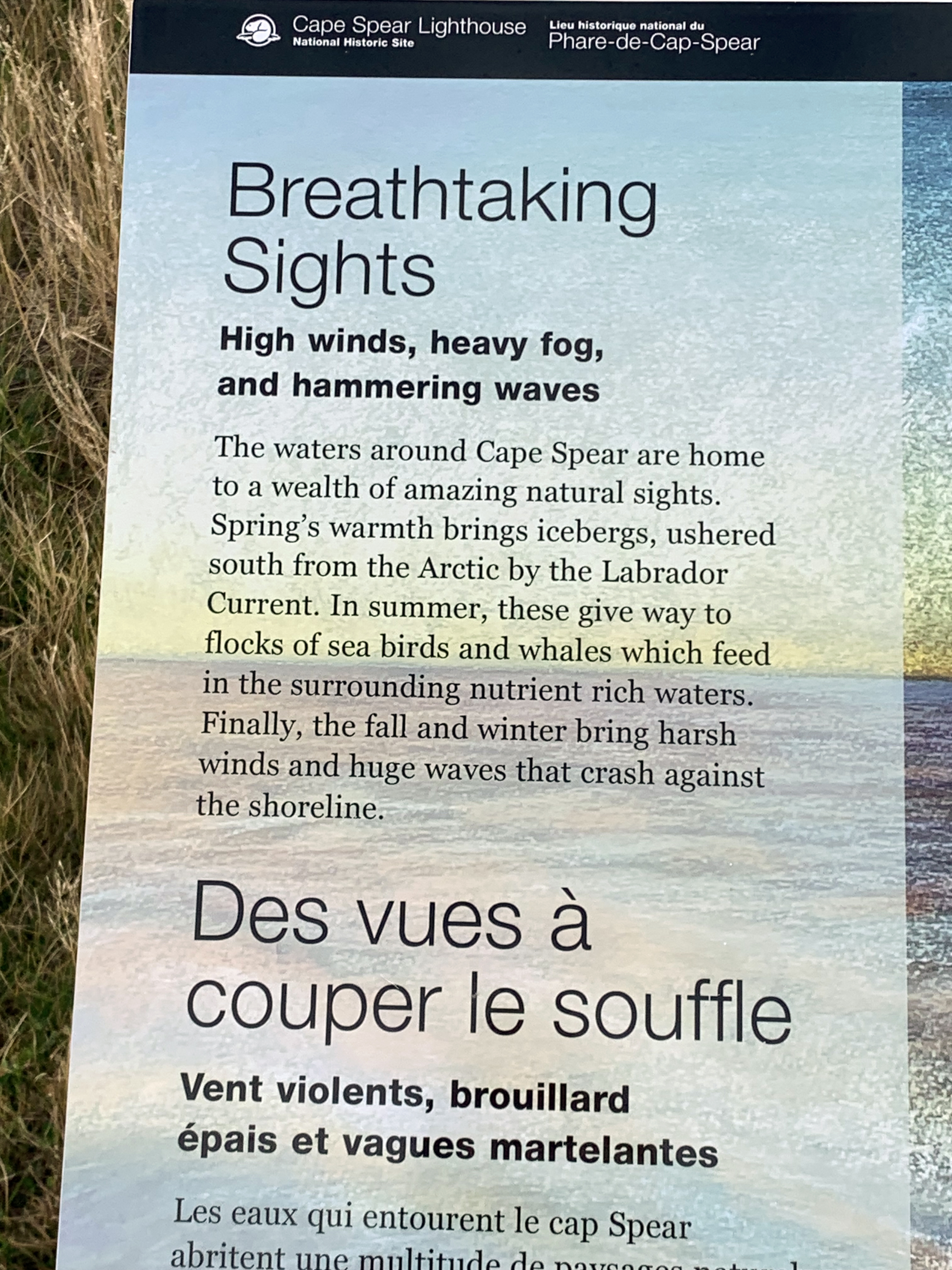
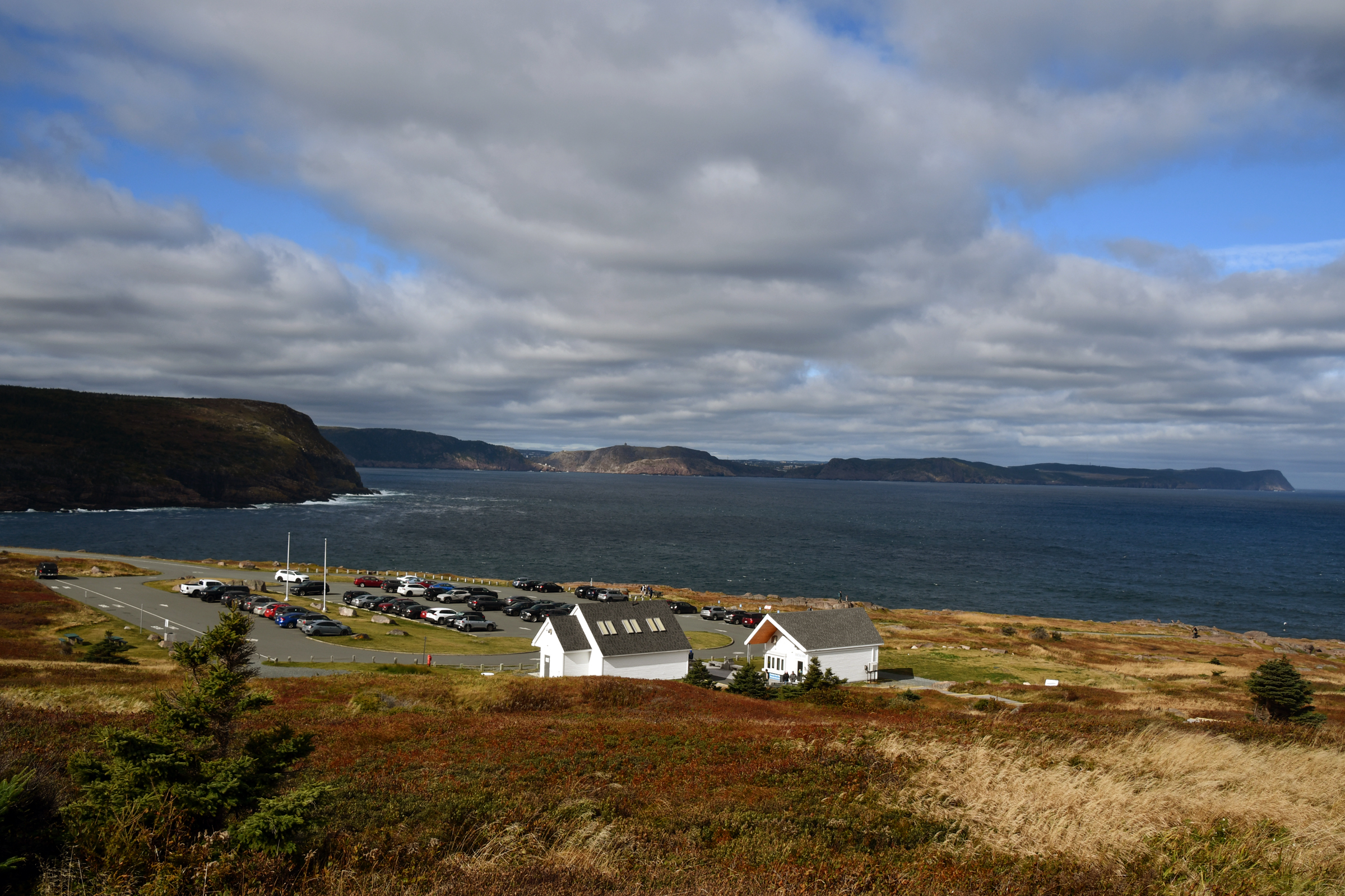
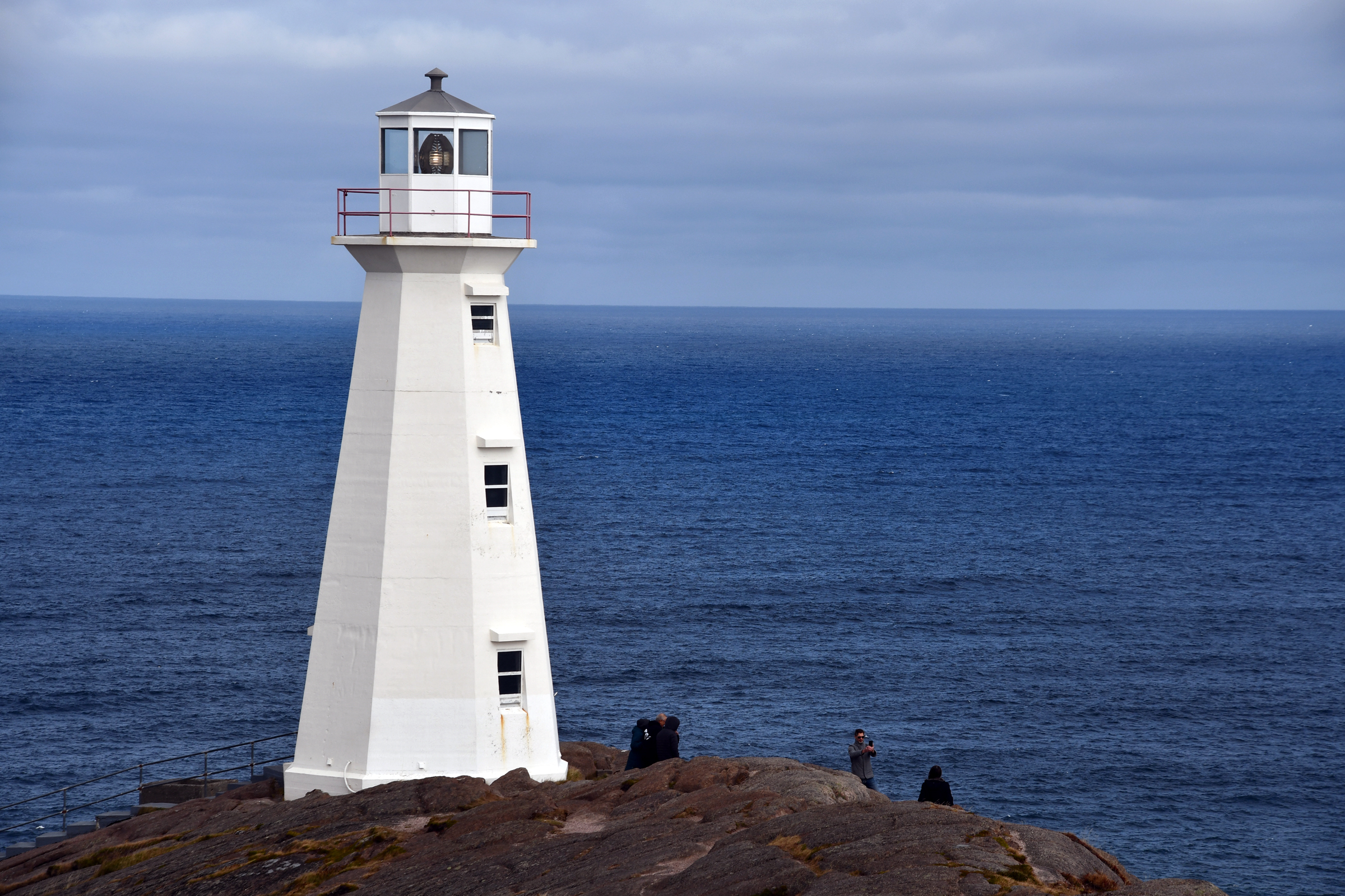
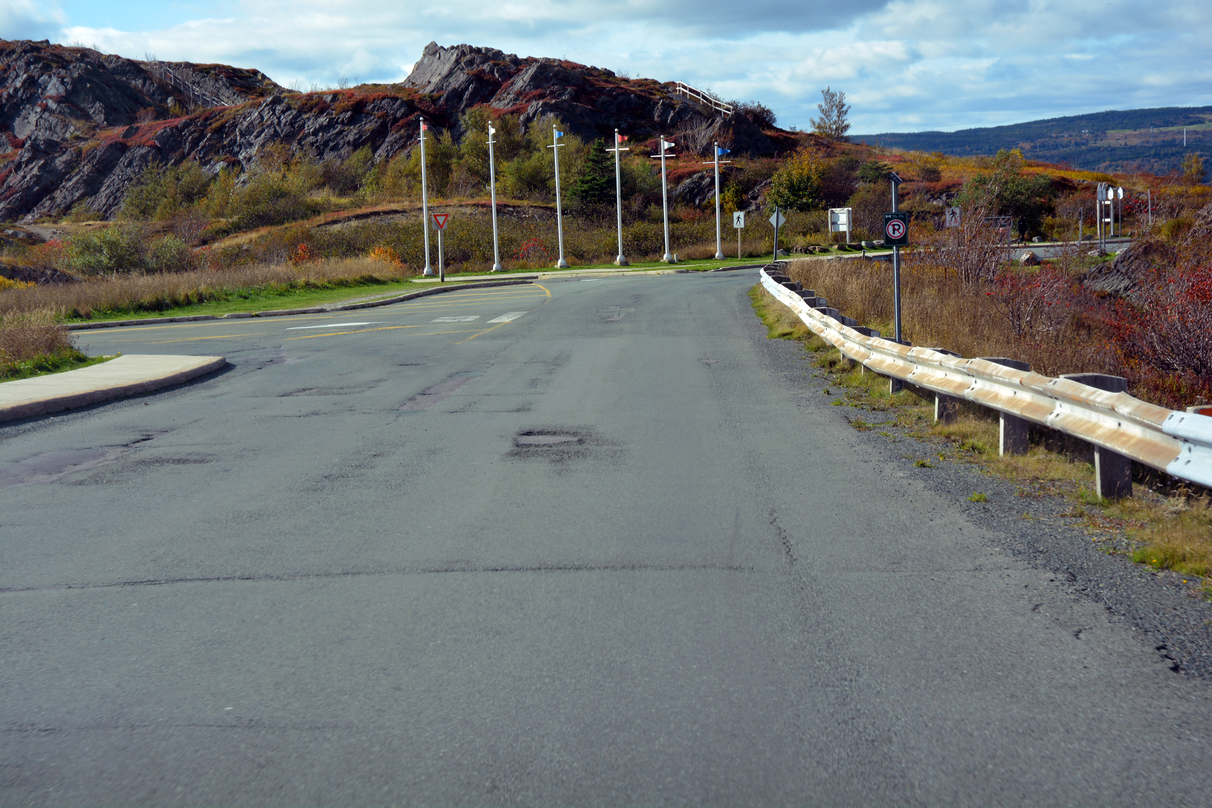
Cape Spear, Newfoundland
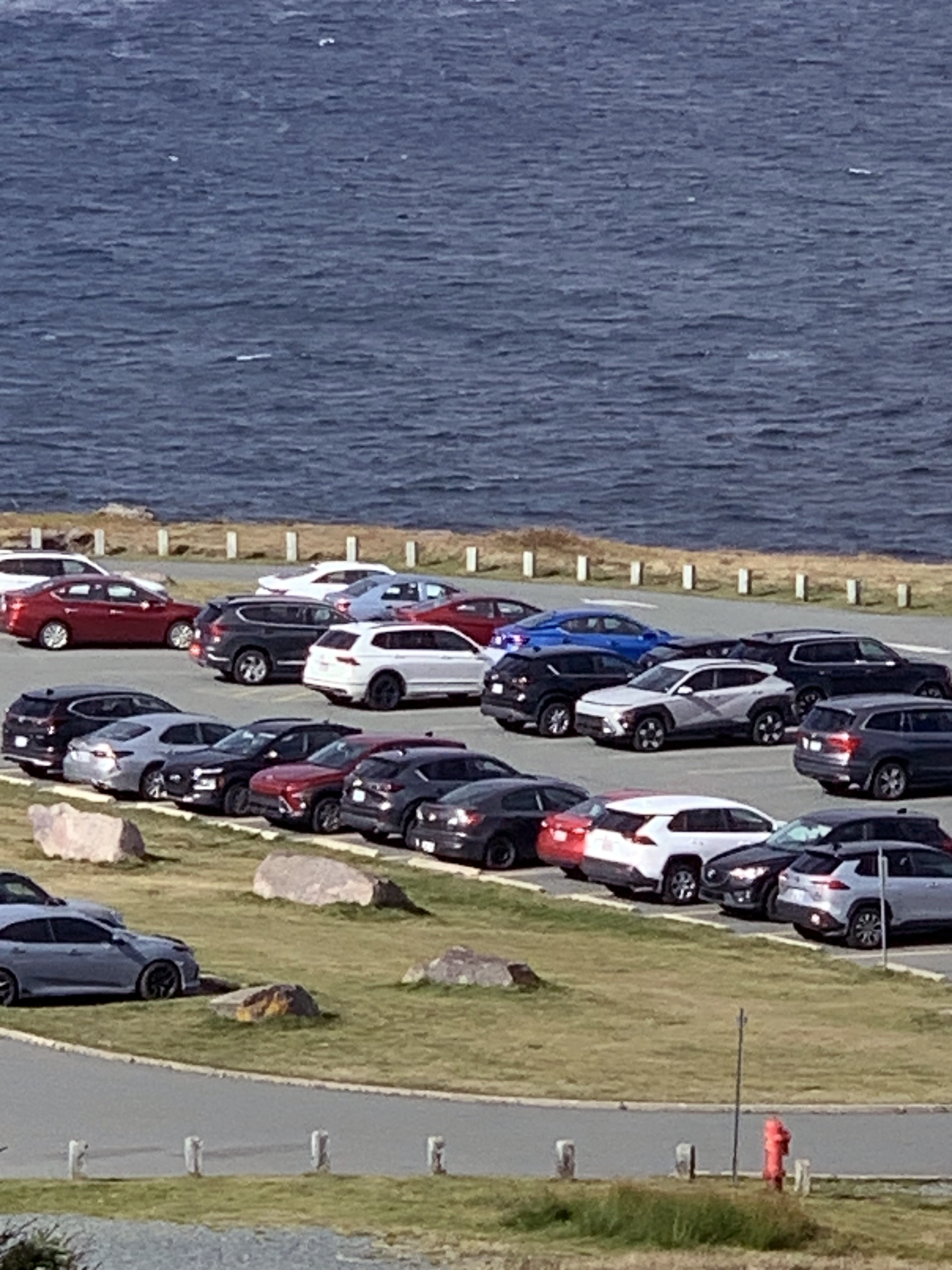
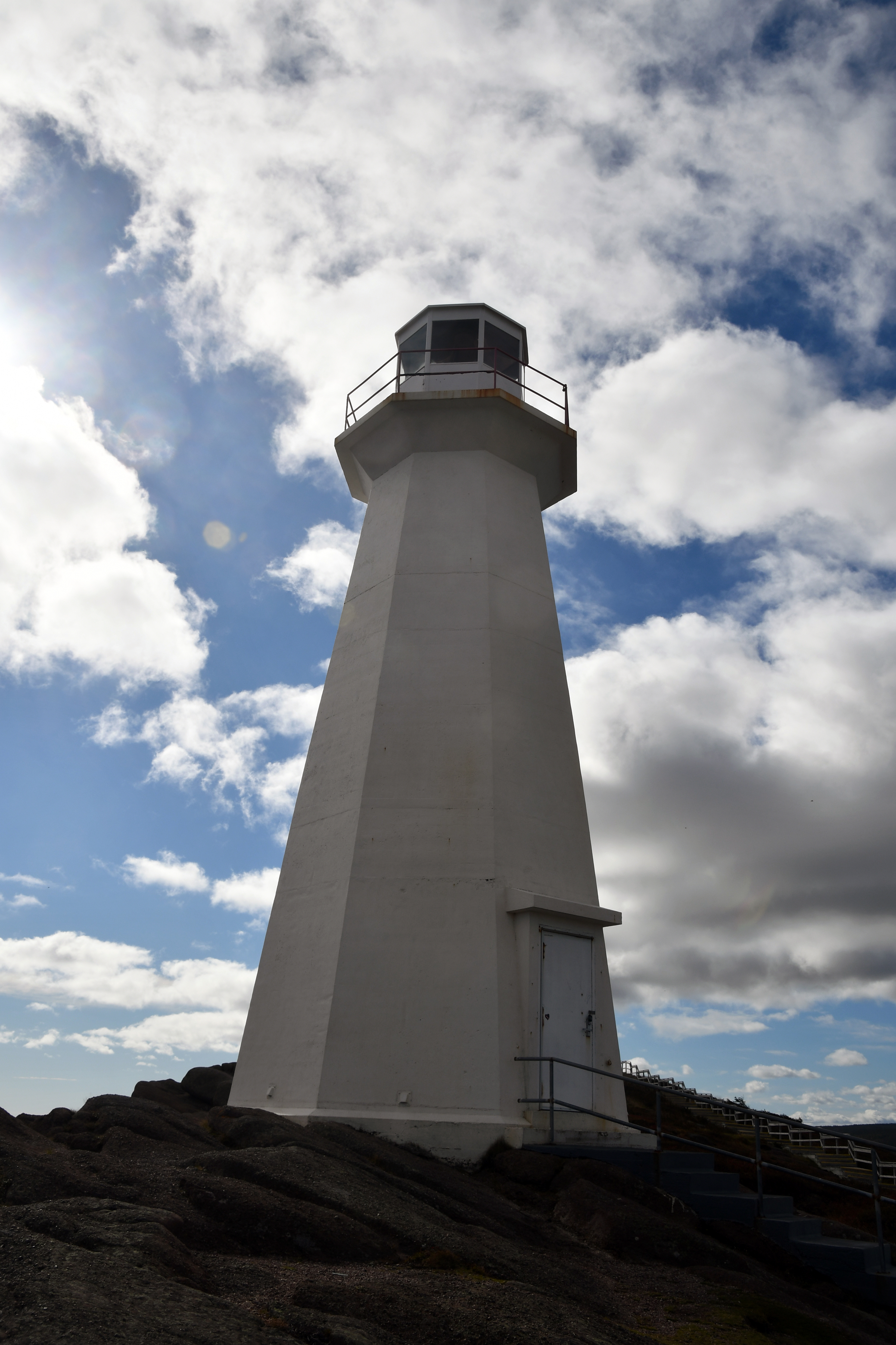
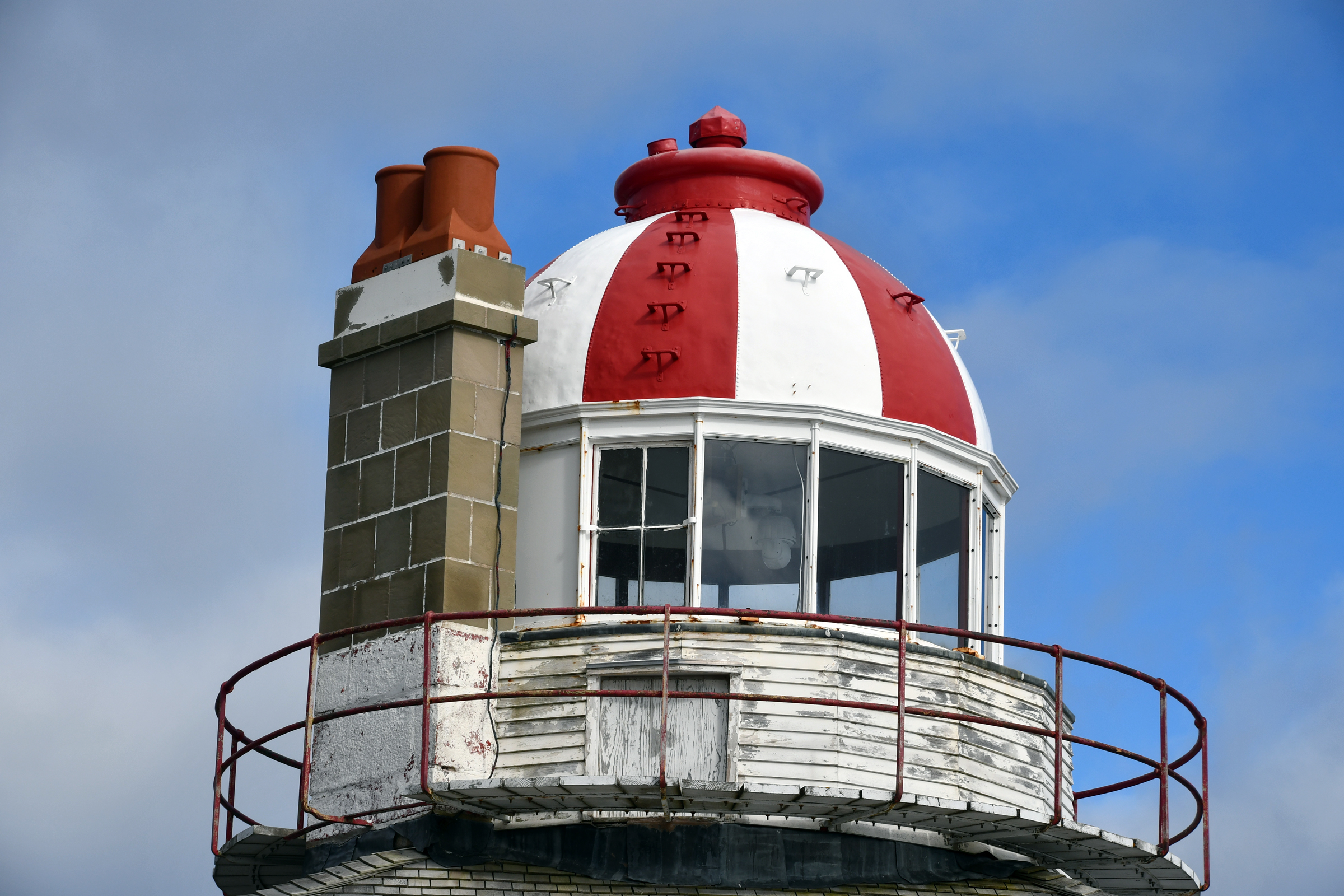
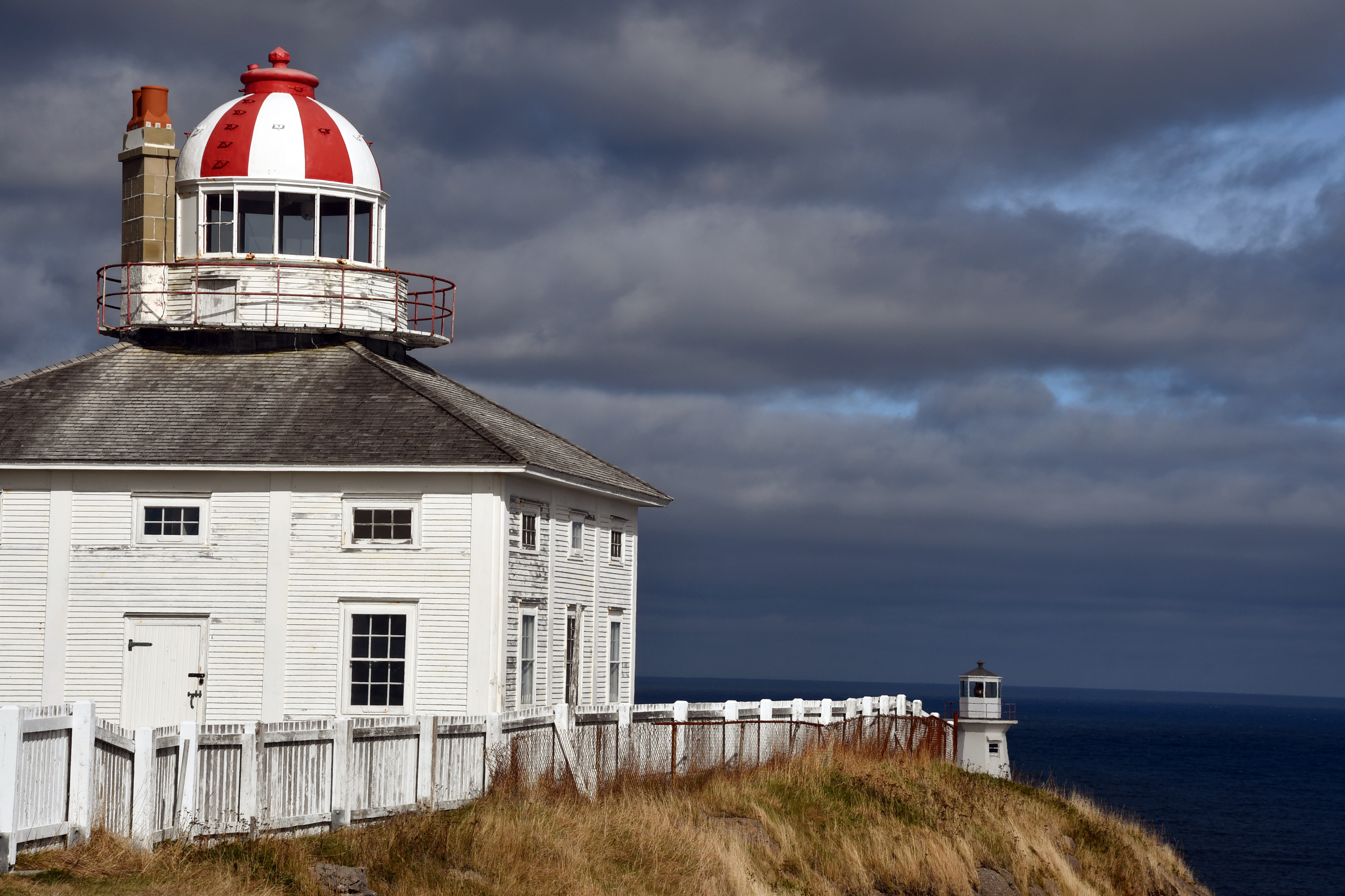
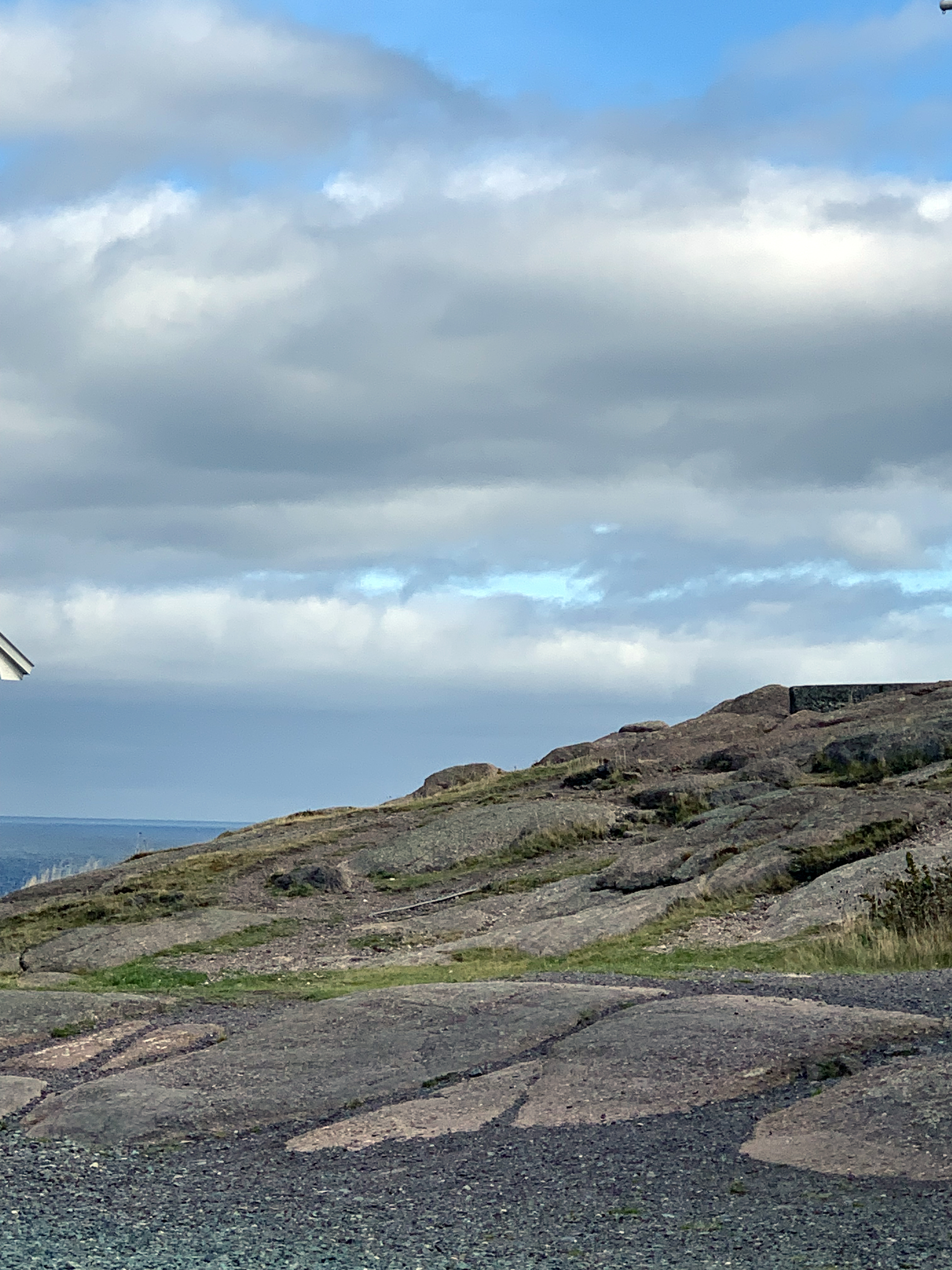
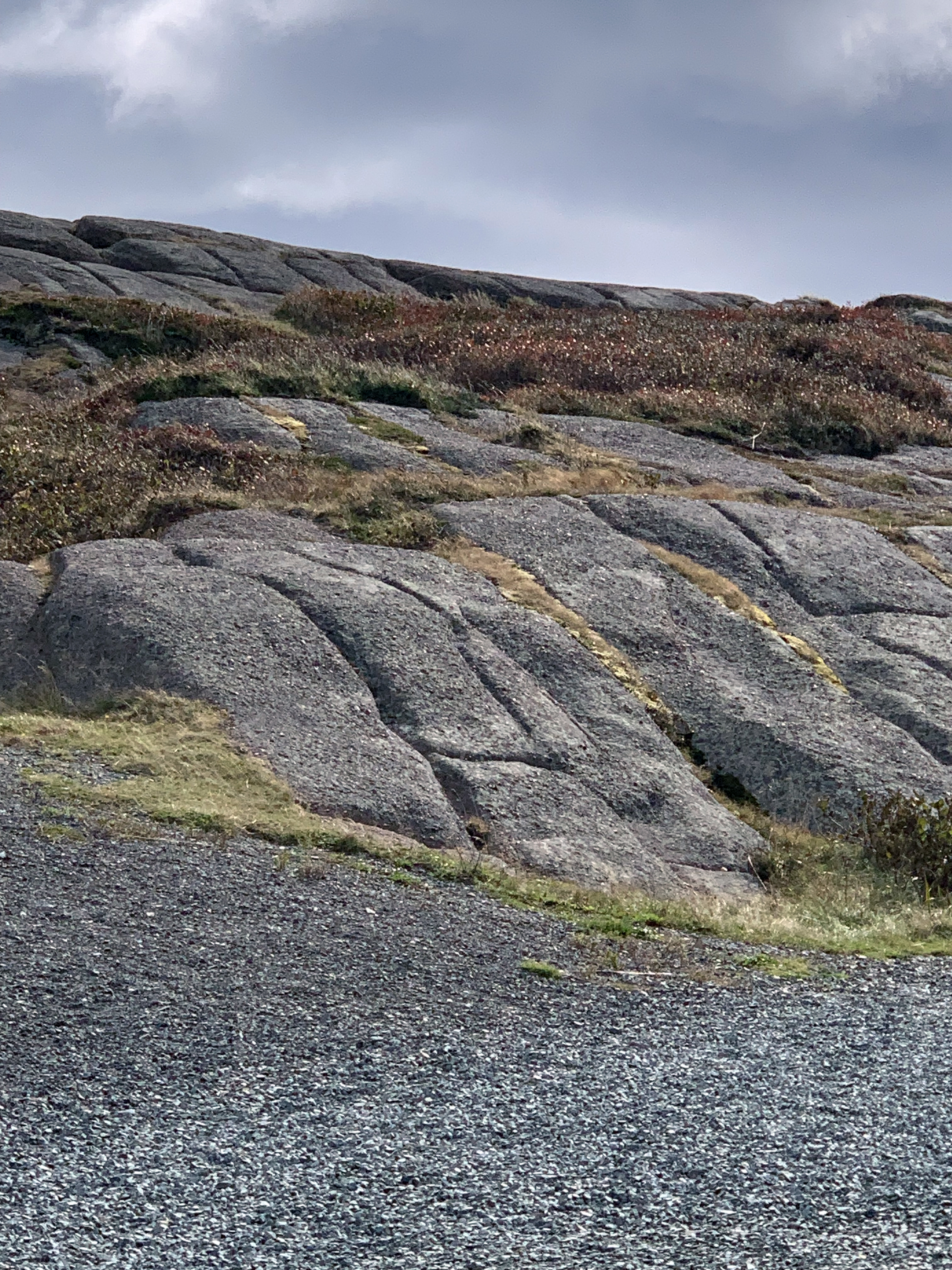
Cape Spear is a National Historic Site: it has a lighthouse (and and older version), but its fame (for the tourist) lies in being the most easterly point of Canada. It was a very popular attraction the day we visited, so it was surprising that the museum and
"interpretive" centre were closed.
|
|
|
|
|
|
|
|
|
| The car park was full |
|
|
|
|
|
|
|
That would be Signal Hill in the distance - our next destination. |
|
|
The Old light |
|
|
|
|
The new Light |
|
|
The granite pavement |
|
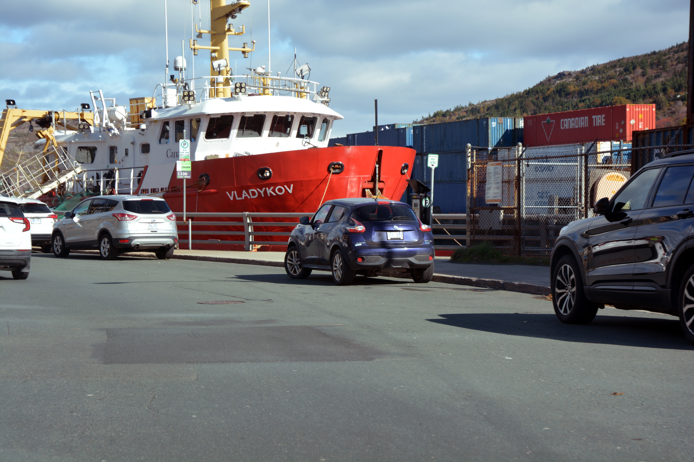
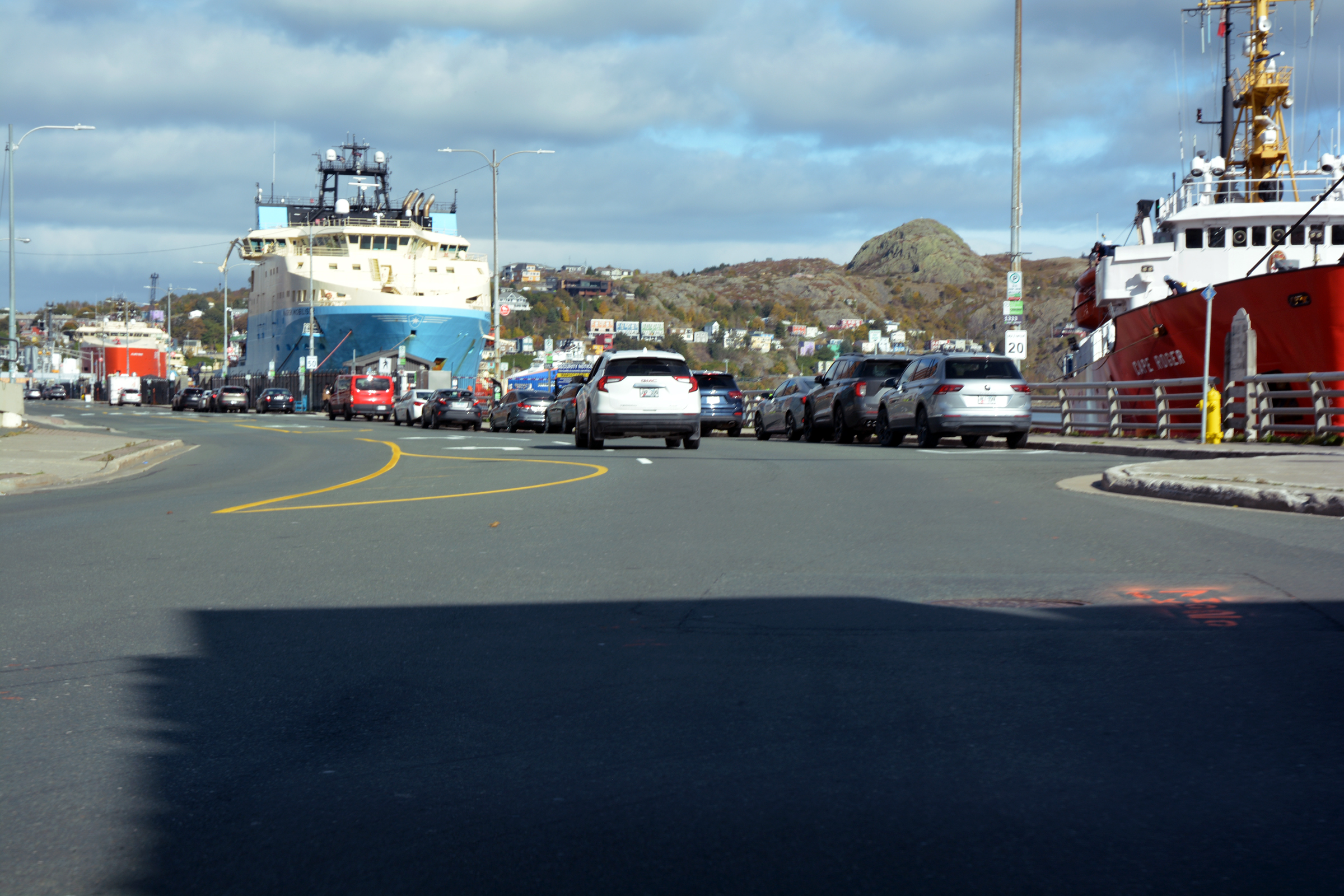
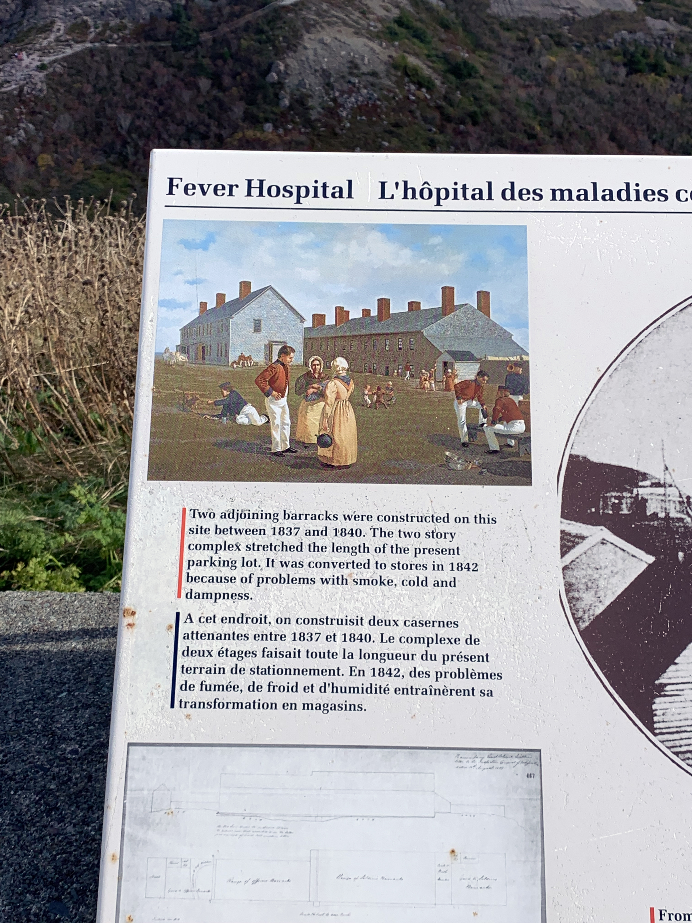
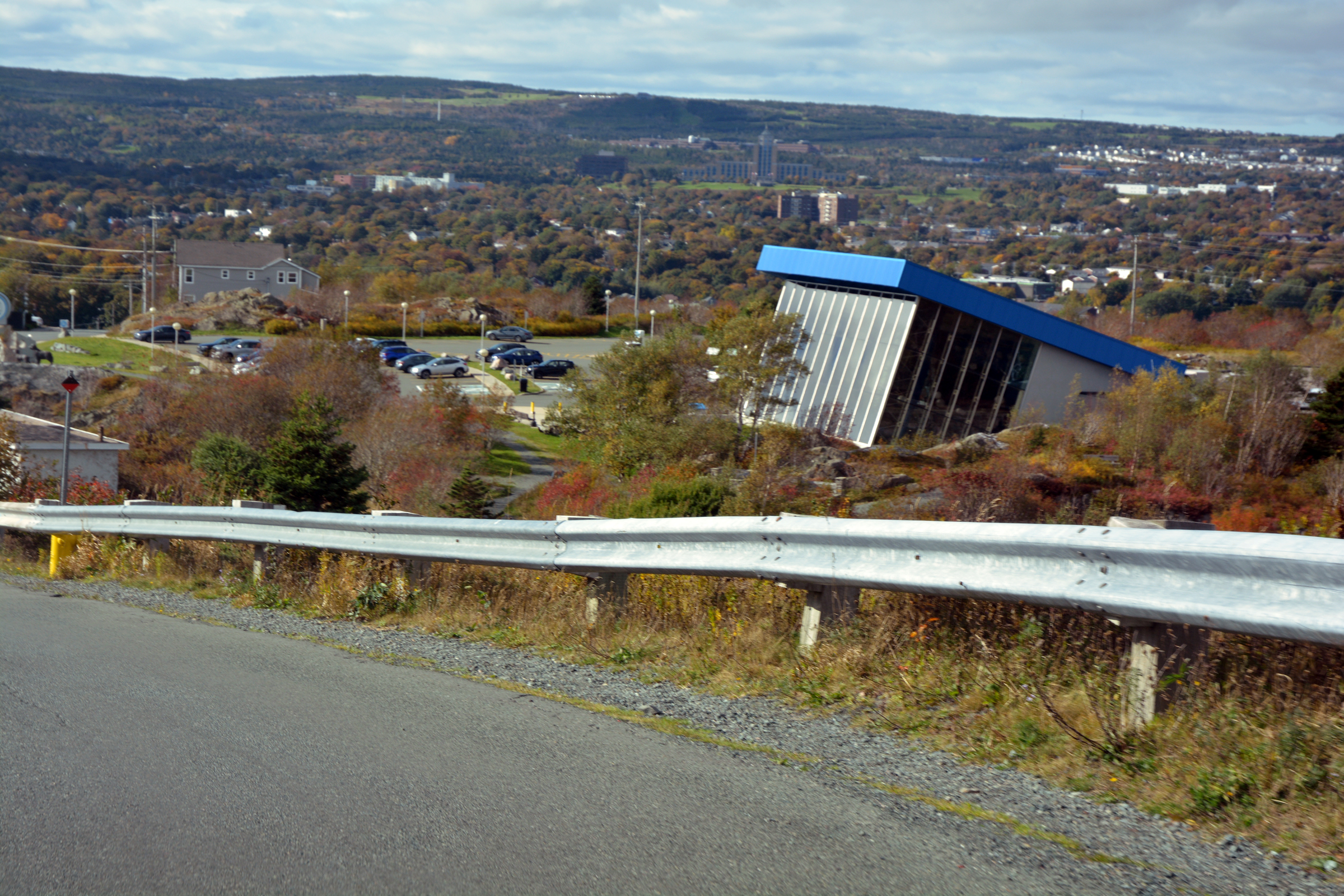
SIgnal Hill, Newfoundland
(but of
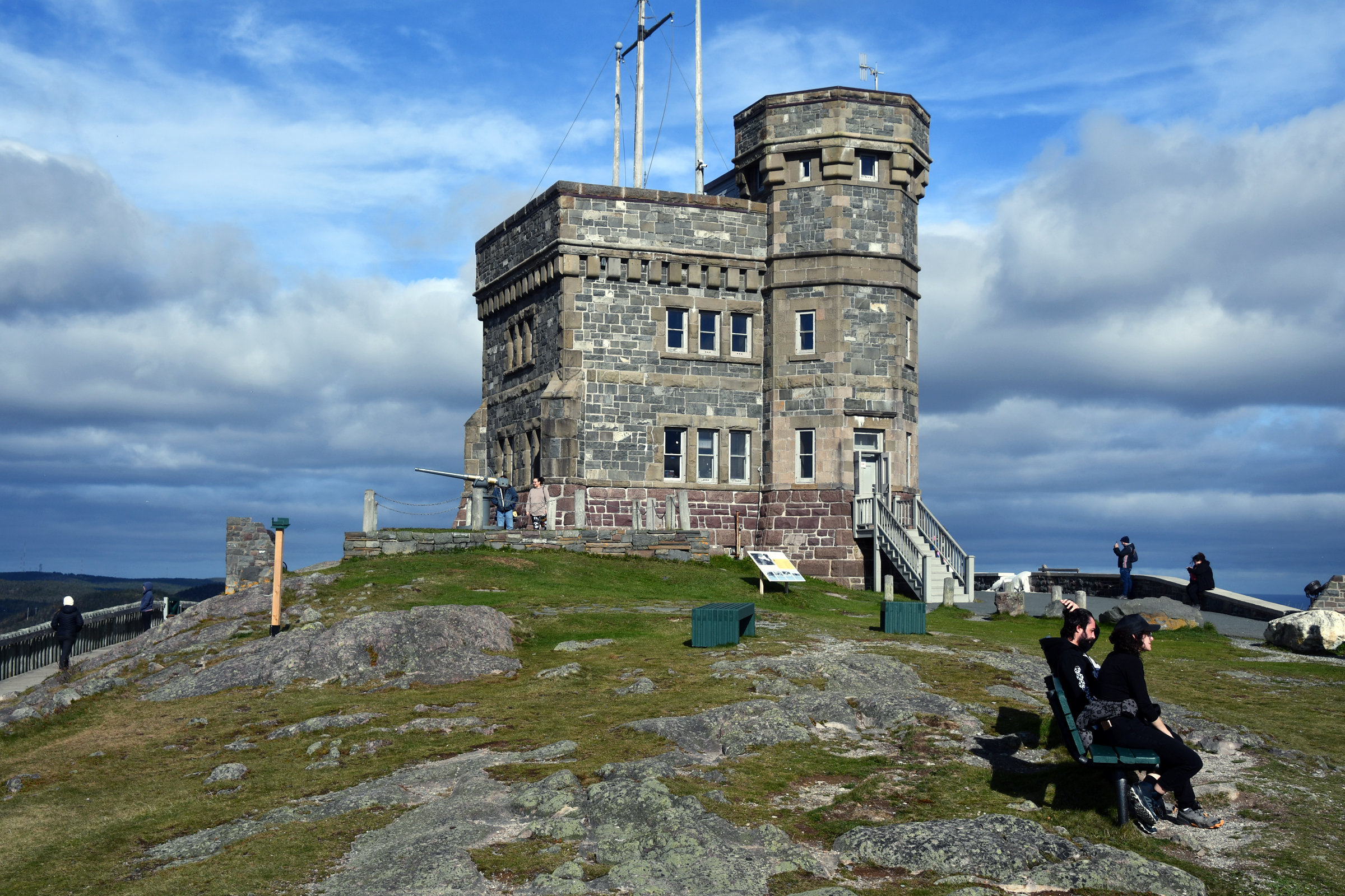
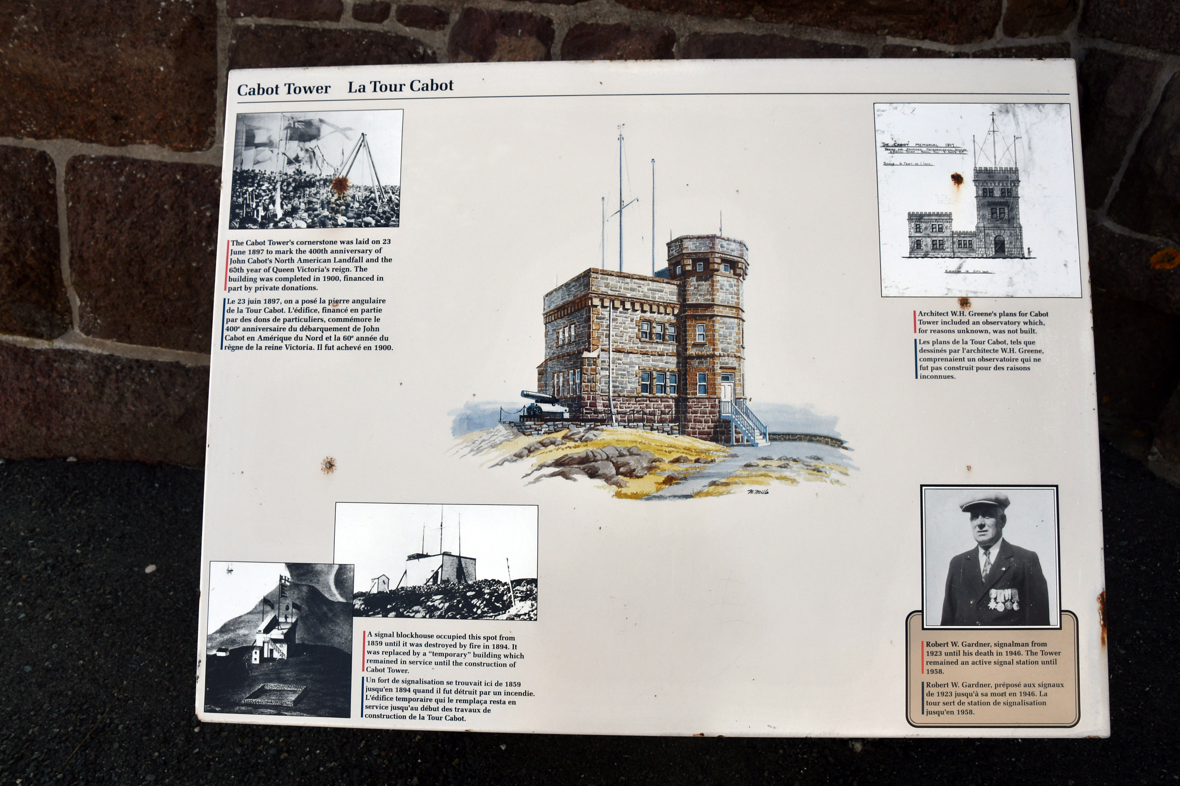
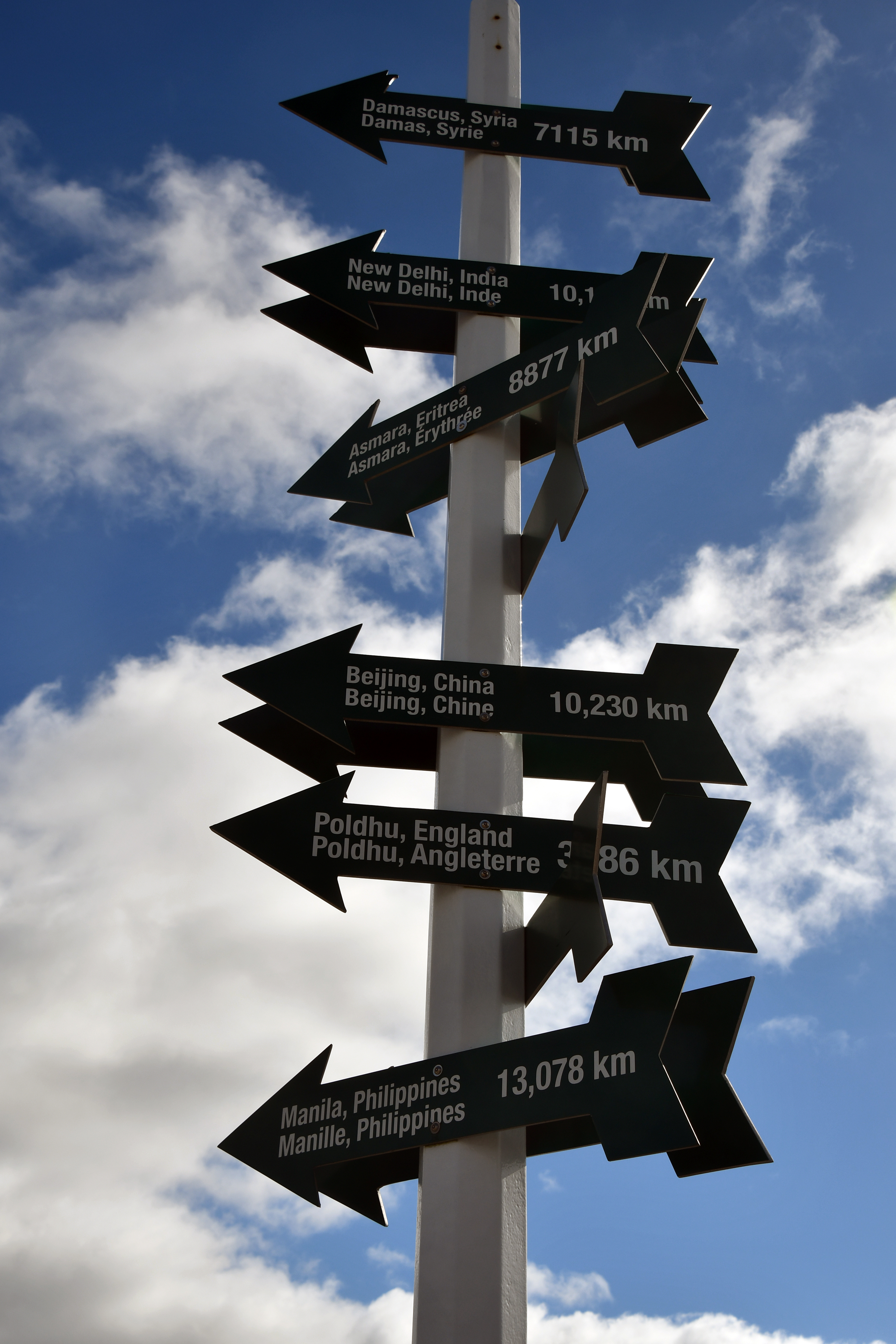
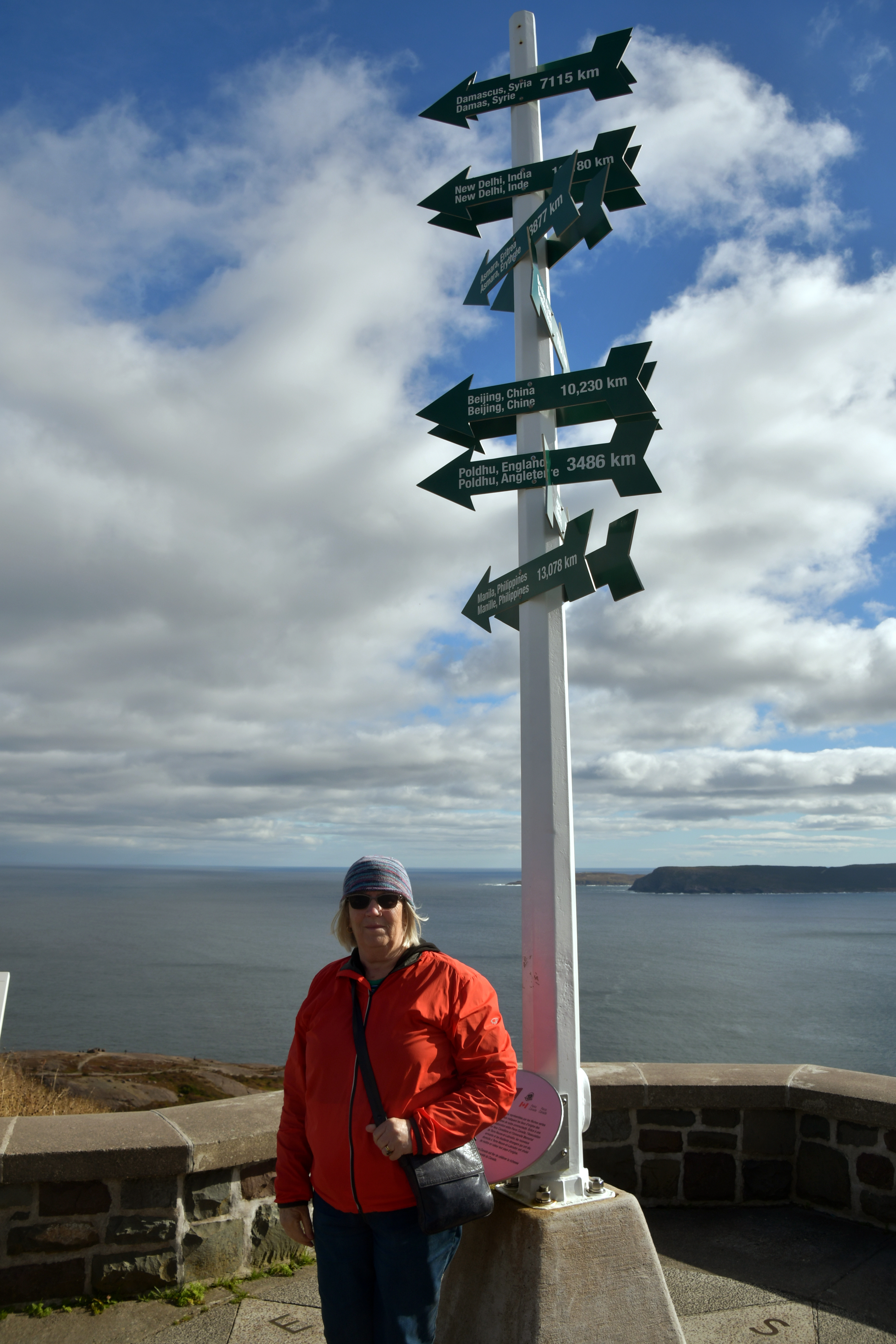
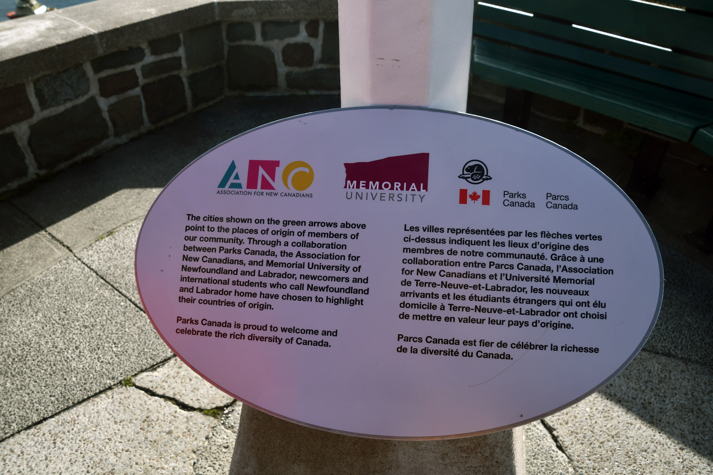
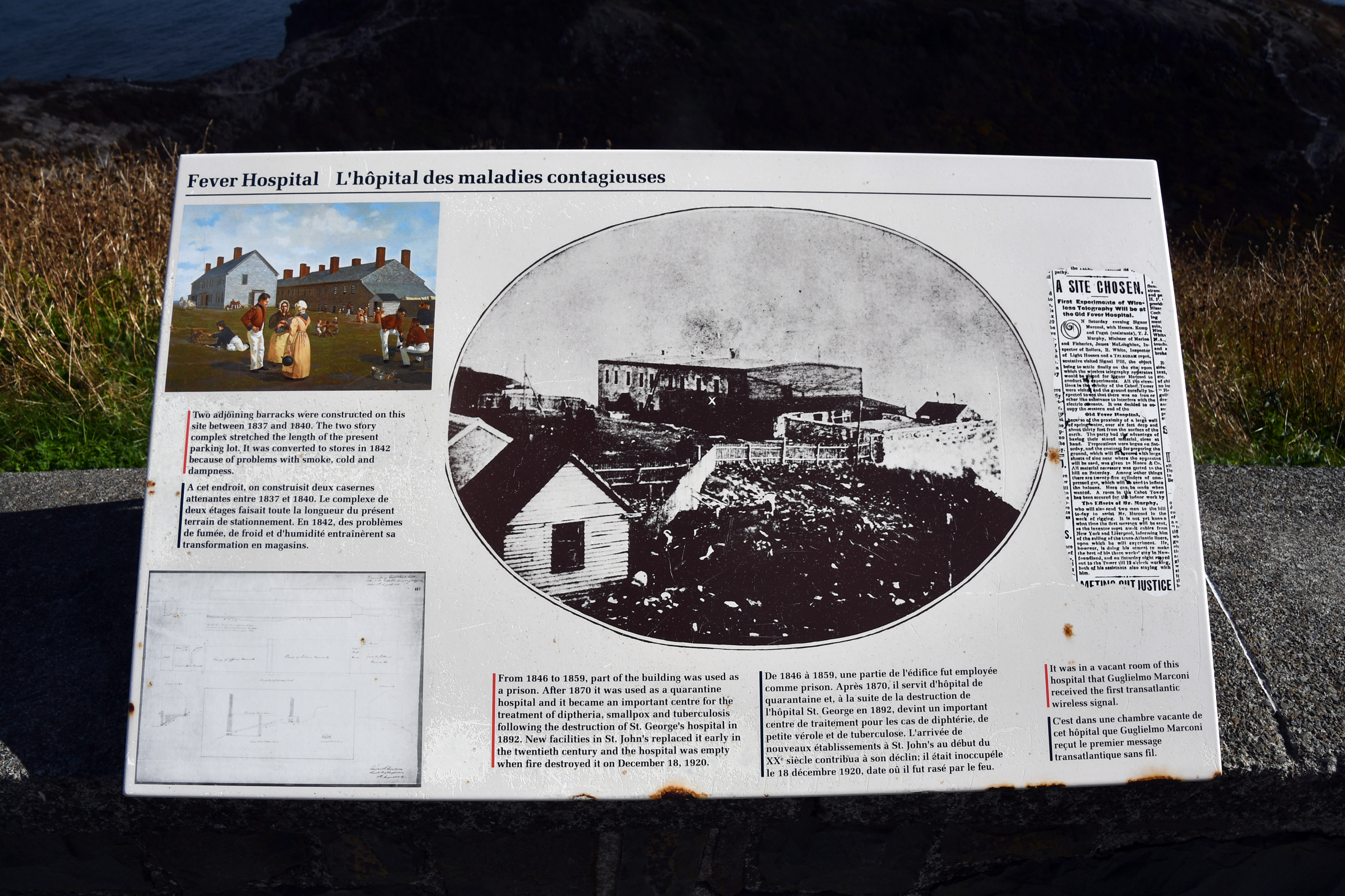
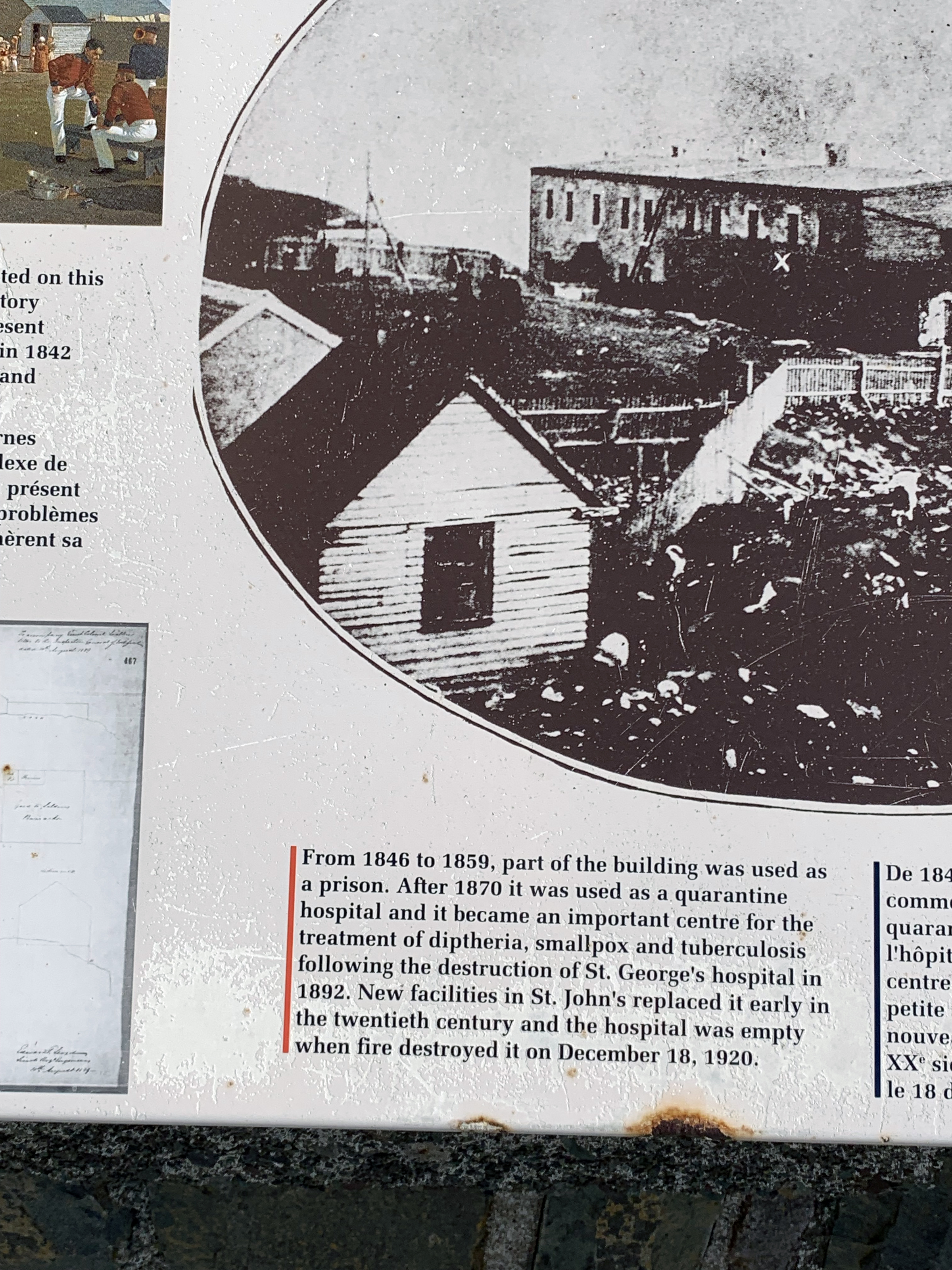
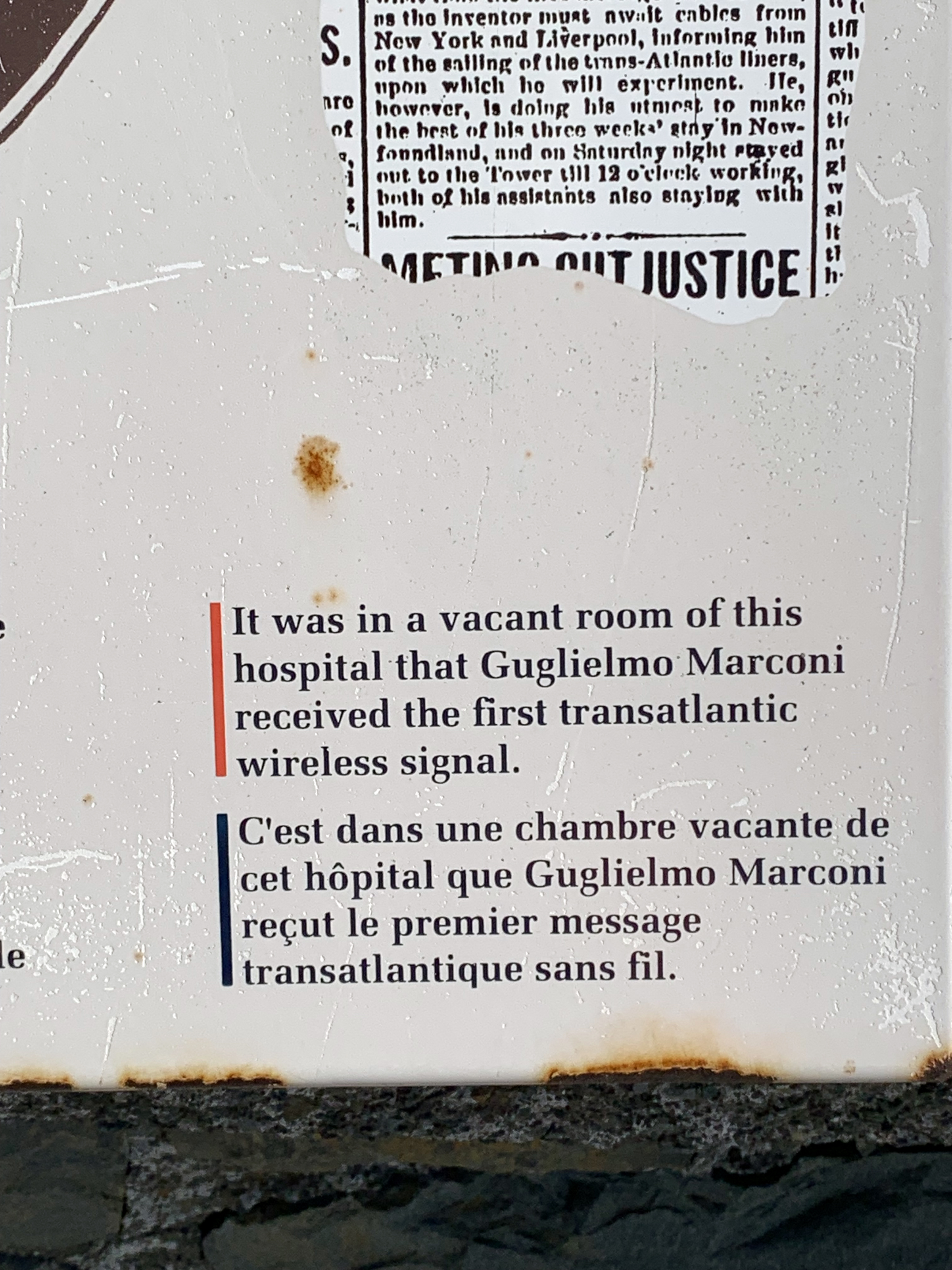
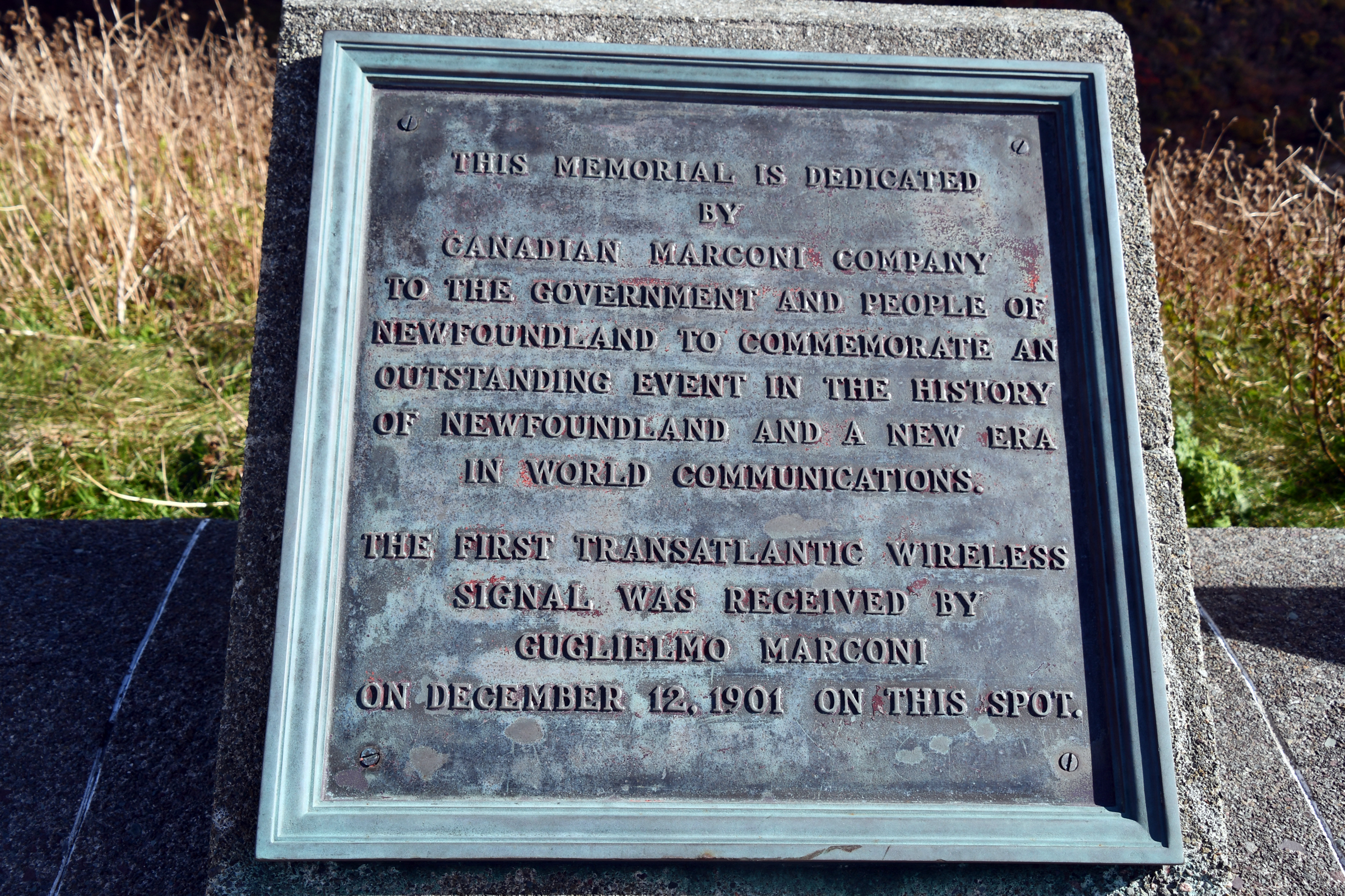
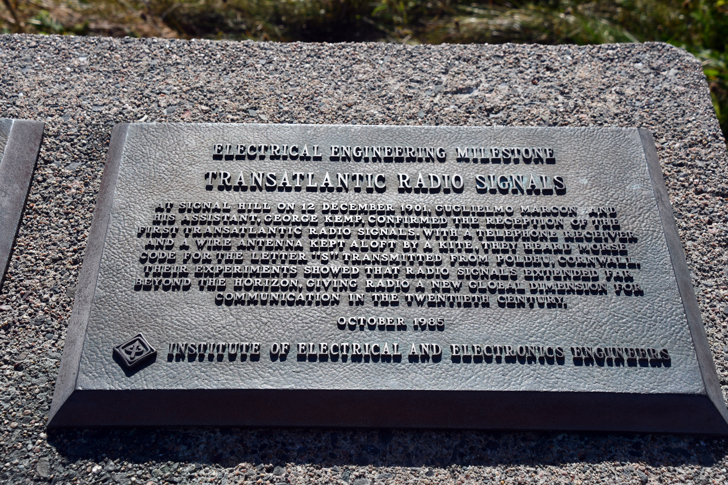
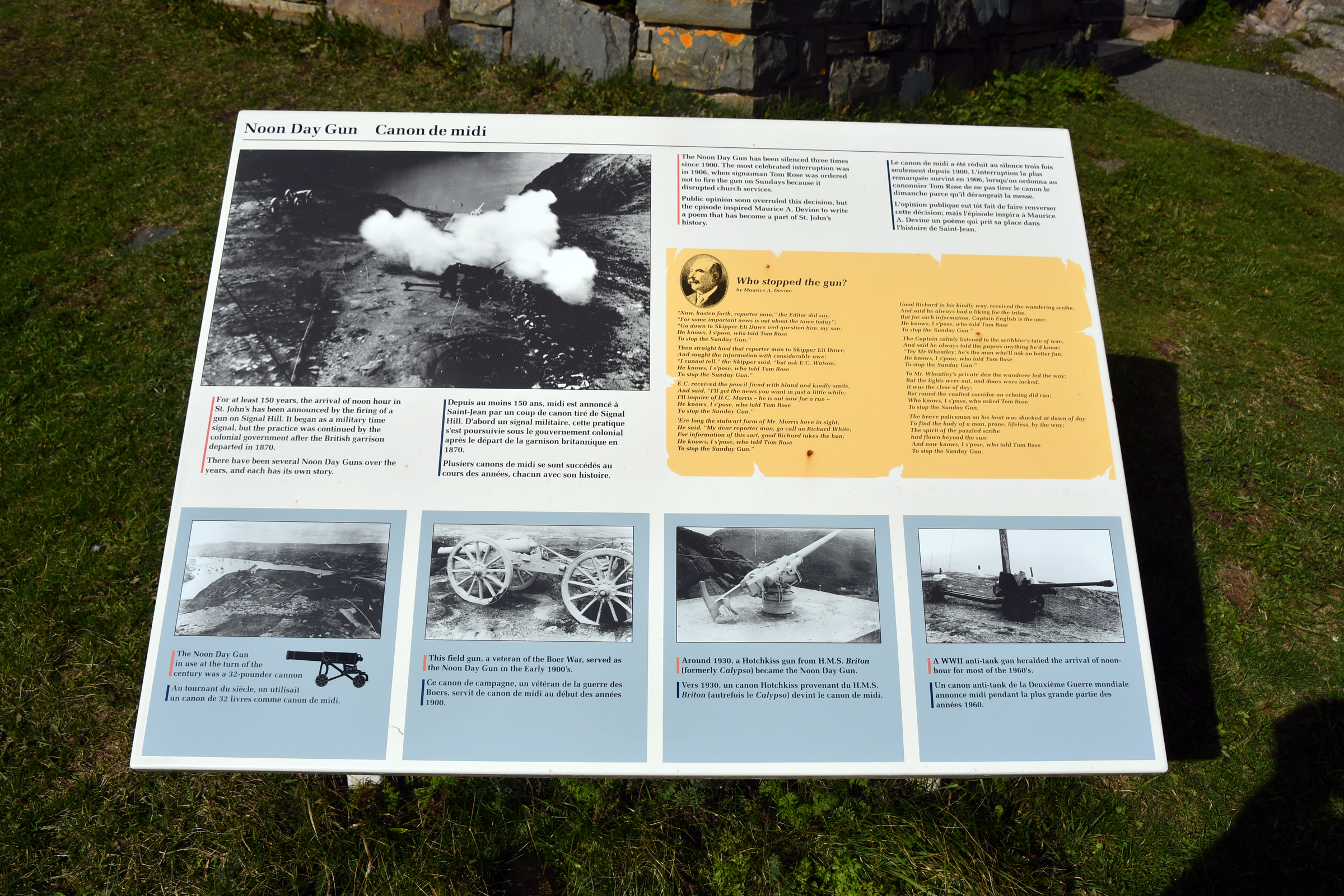
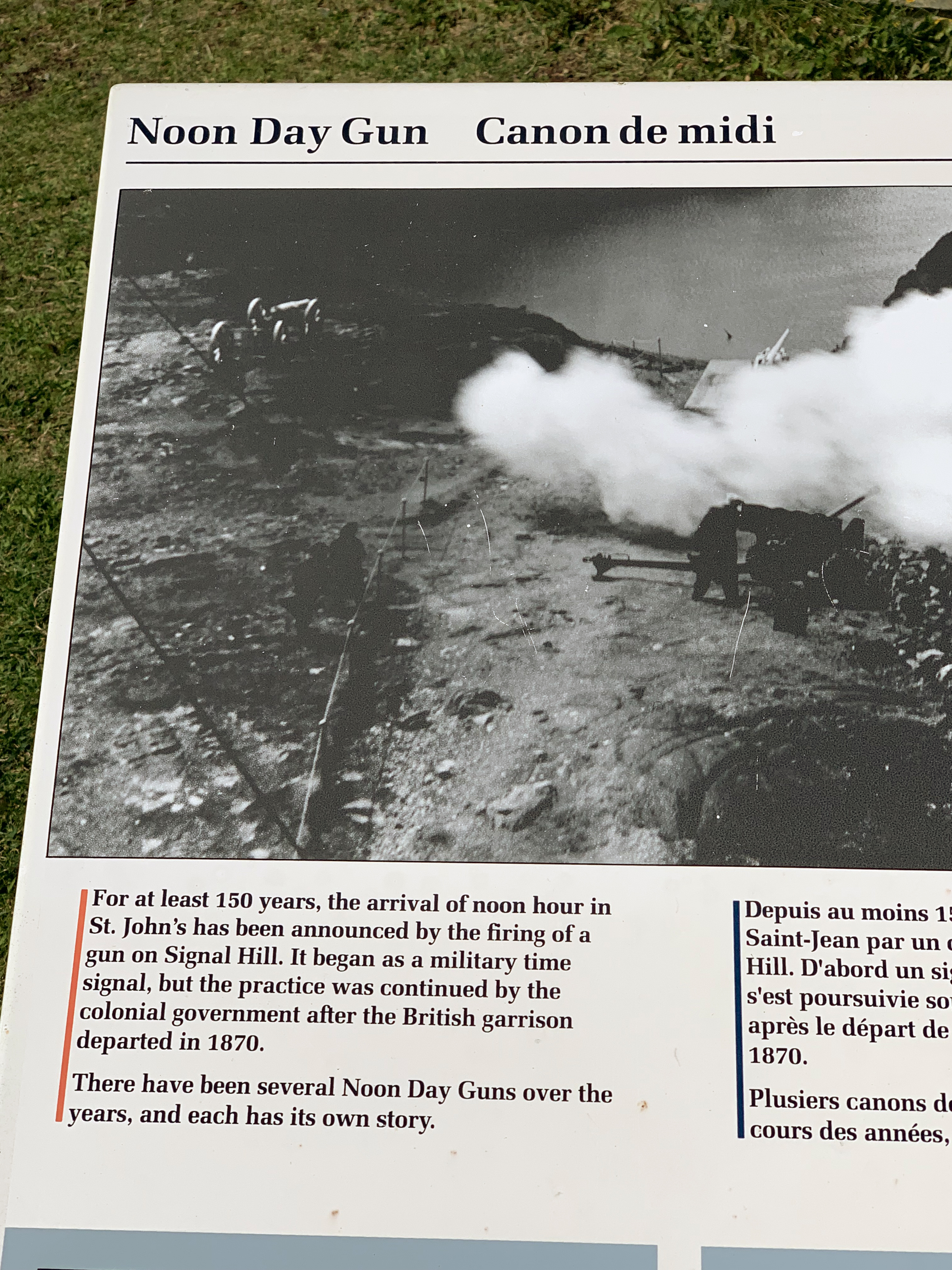
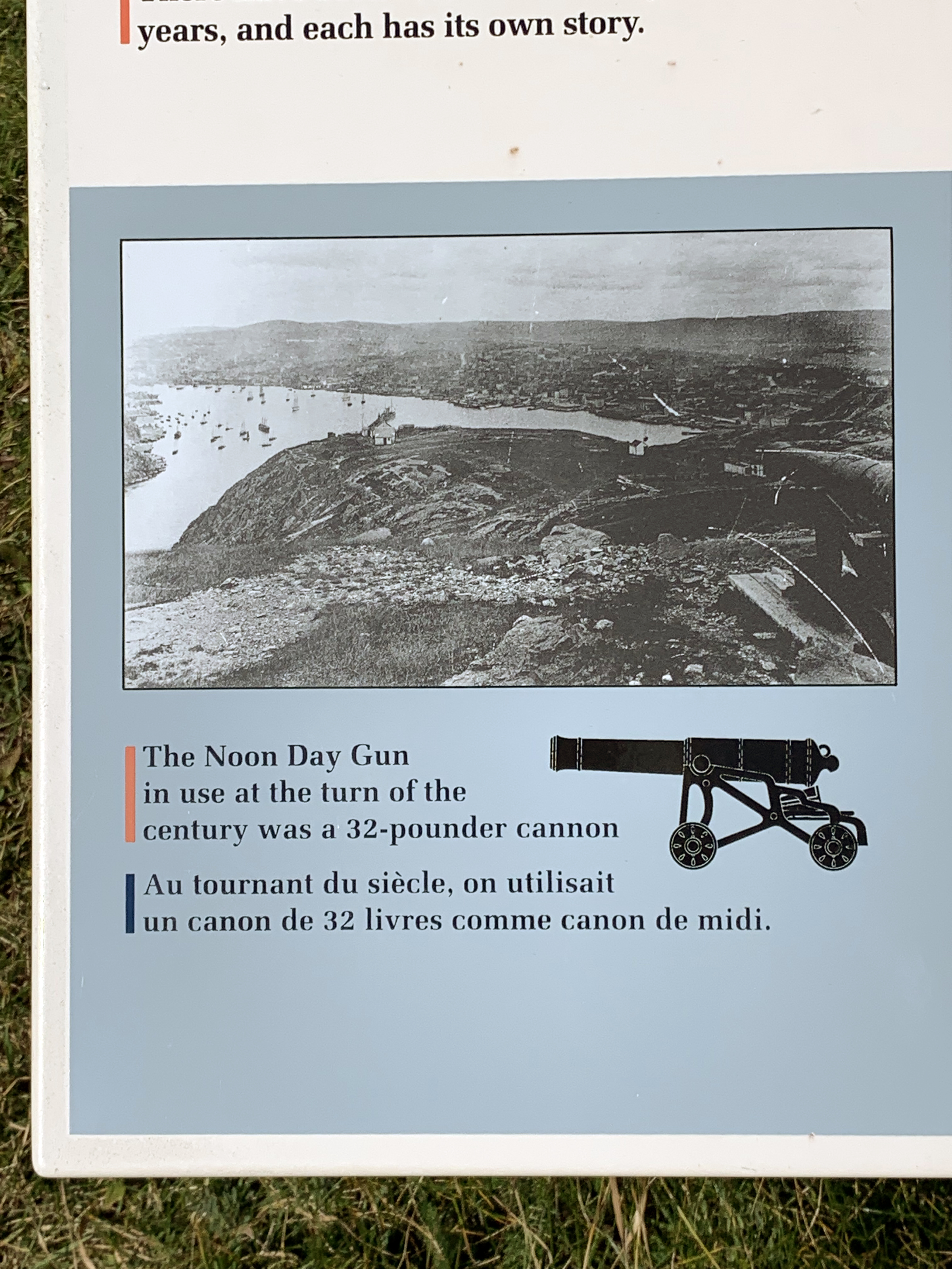
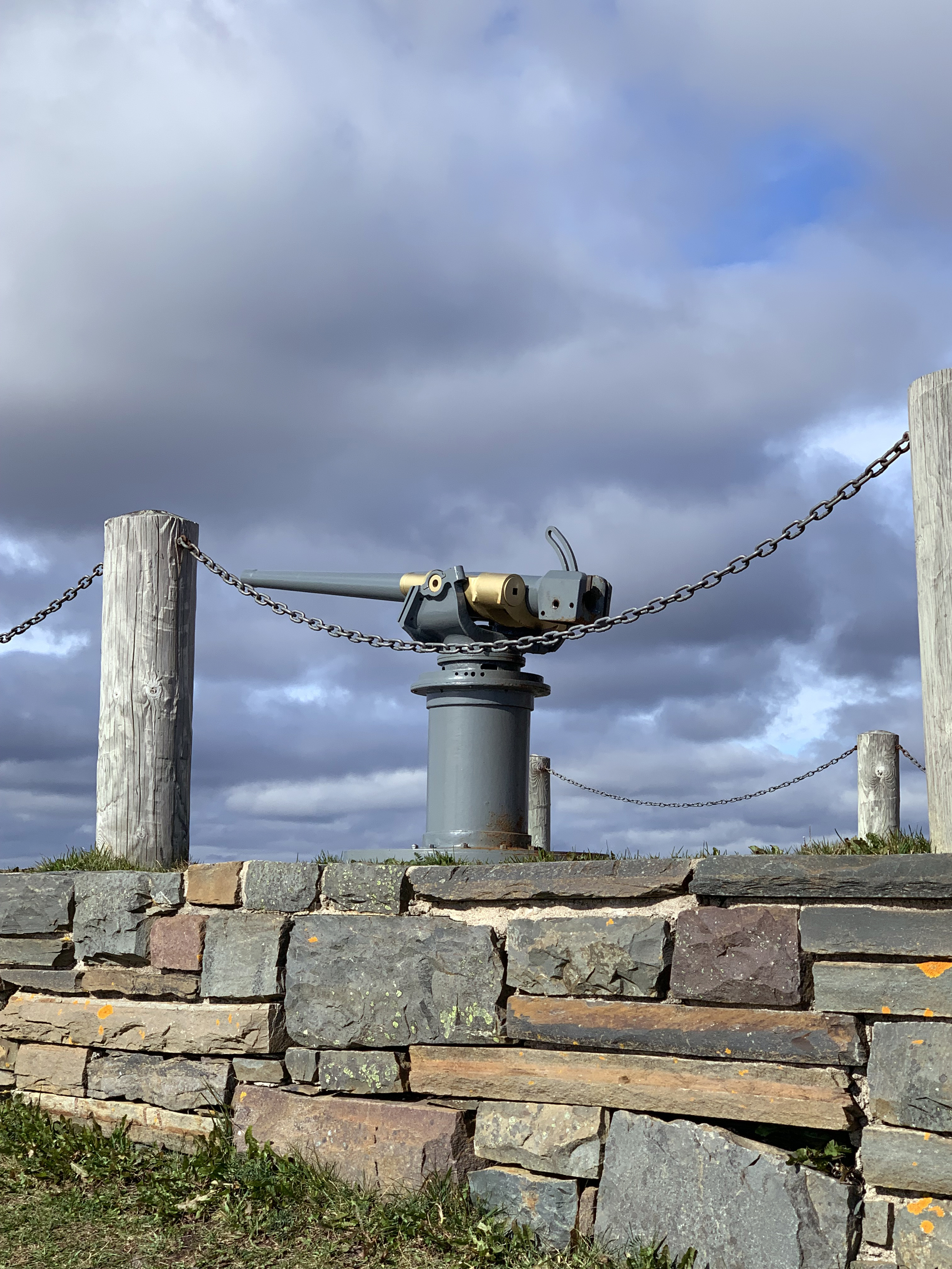
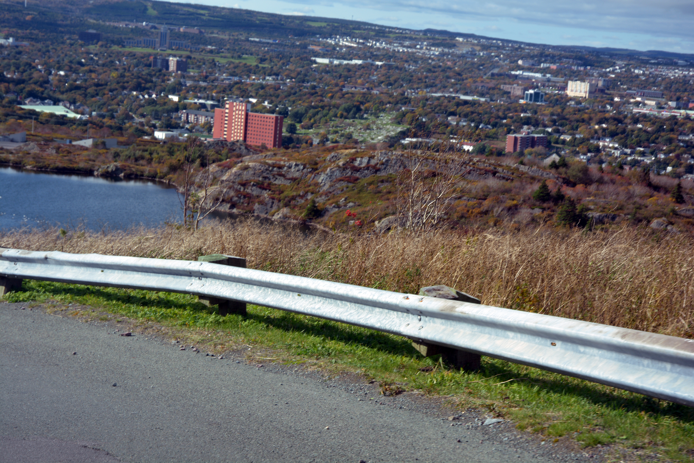
From Cape Spear we headed back into Saint John's and then out onto the next peninsula to Signal Hill, another National Park. Here we found the large stone Cabot Tower and a noon-day signal cannon, but its claim to park status was it being the
site of the first trans-Atlantic radio transmission. On 12 December 1901, the first transatlantic wireless transmission was received here by Guglielmo Marconi, the signal having been sent from Cornwall. At the tower we found
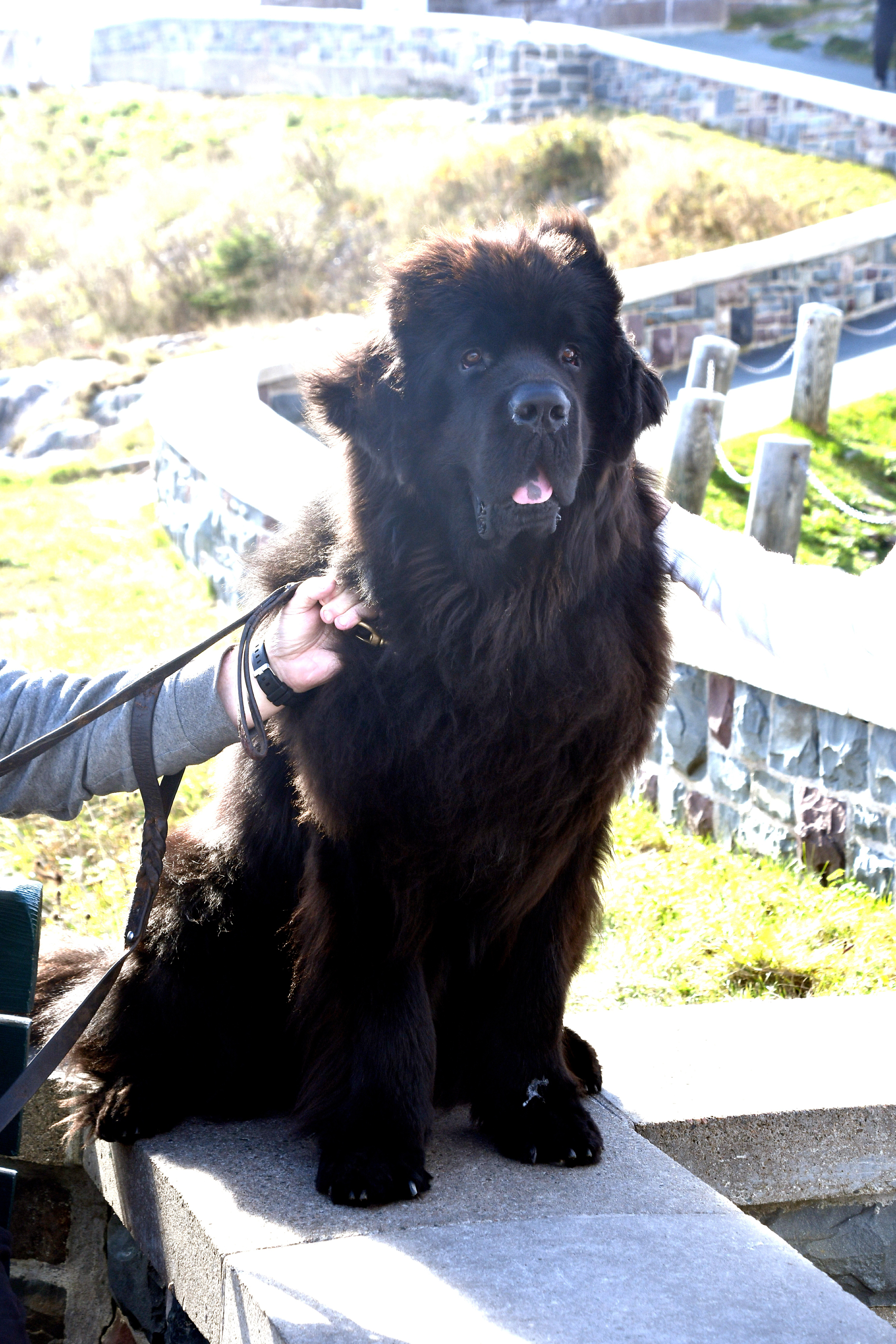
a large black dog - a Newfoundland breed of course, named "Sable". Lower down the hill is the "geo-centre" which as the advertising said "You have seen the view from Signal Hill, now see what it looks like underneath".
| Driving back towards St John's |
|
|
|
|
|
| Back past the horse and buggy |
|
|
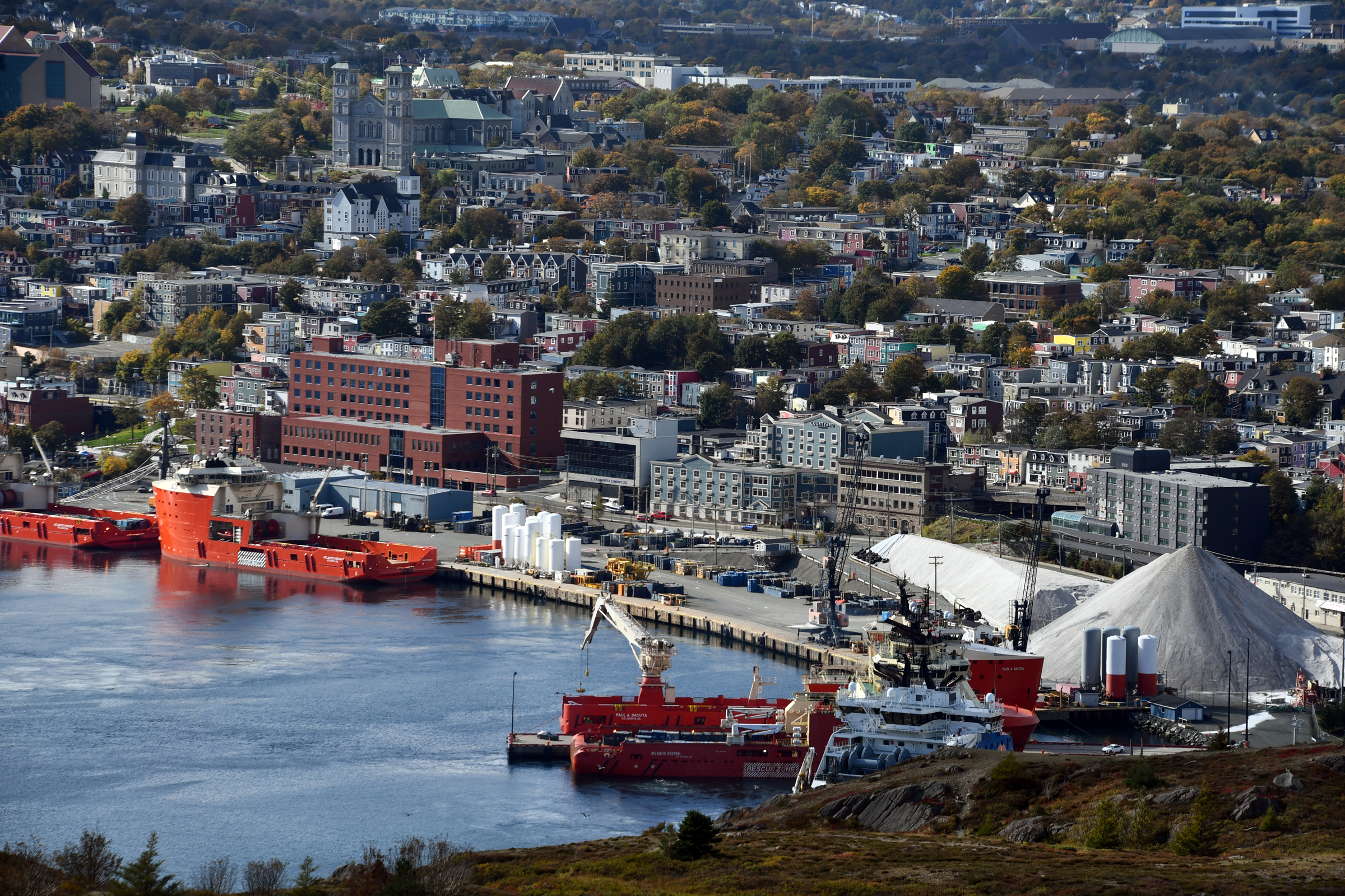
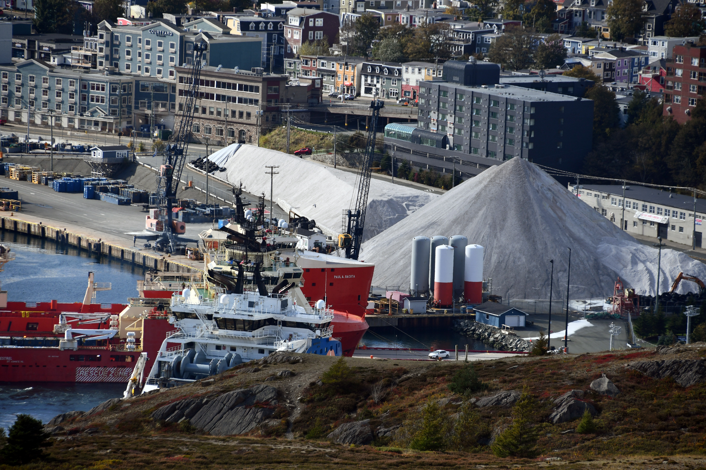
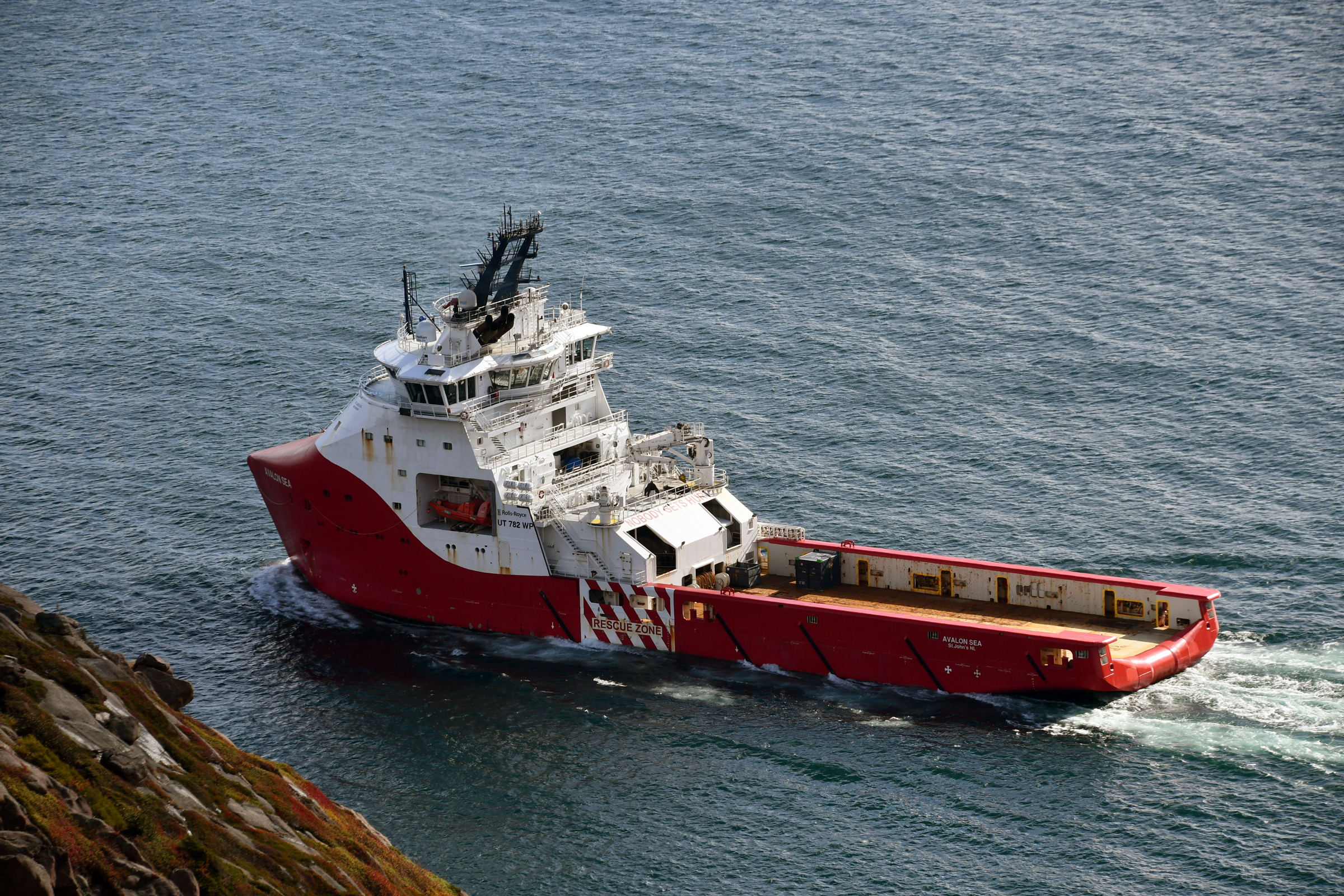
| Passing the port |
|
|
|
|
|
| Now up the hill |
|
|
|
Past the "Geo-Centre" |
|
| Signal Hill |
The Cabot Tower |
|
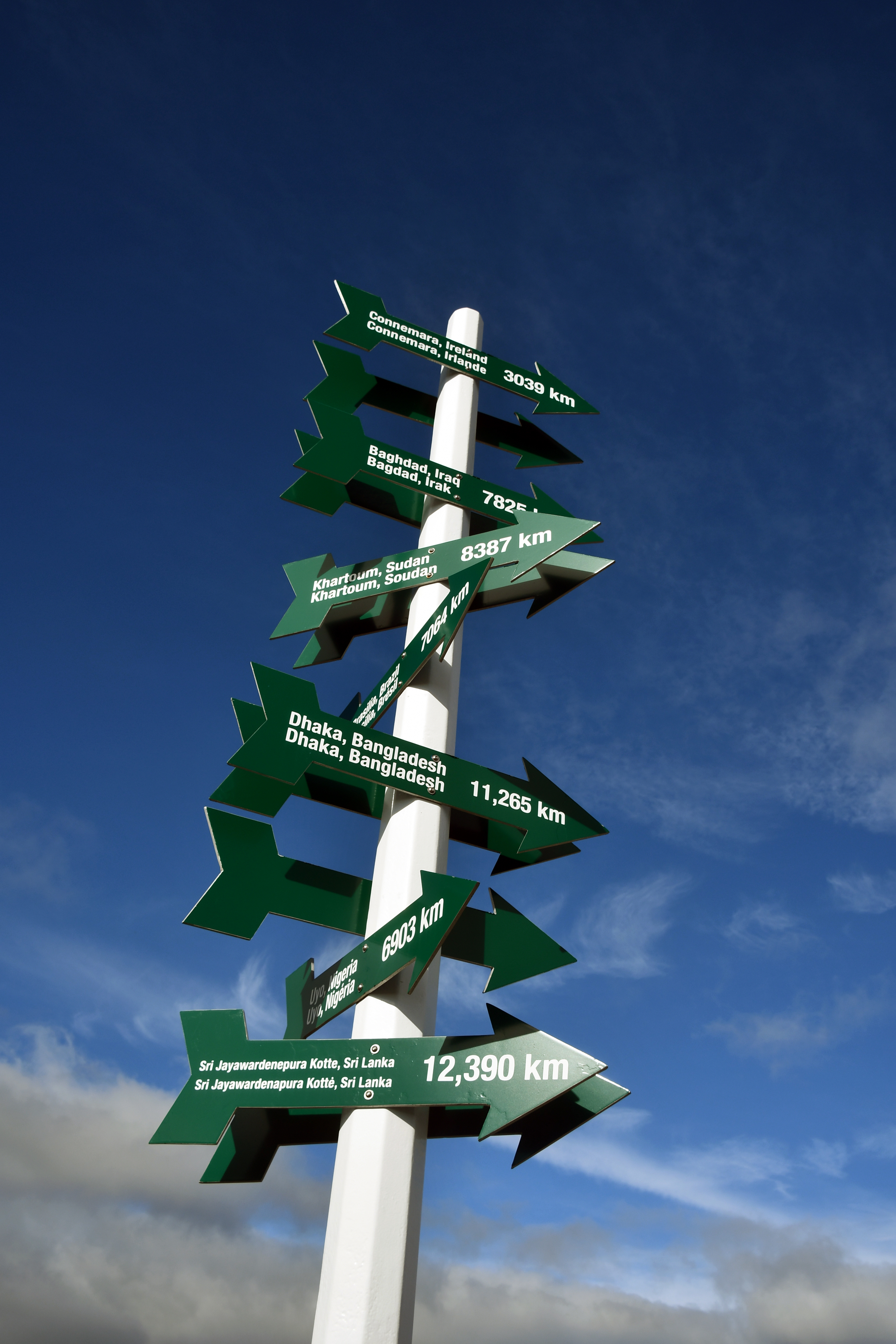
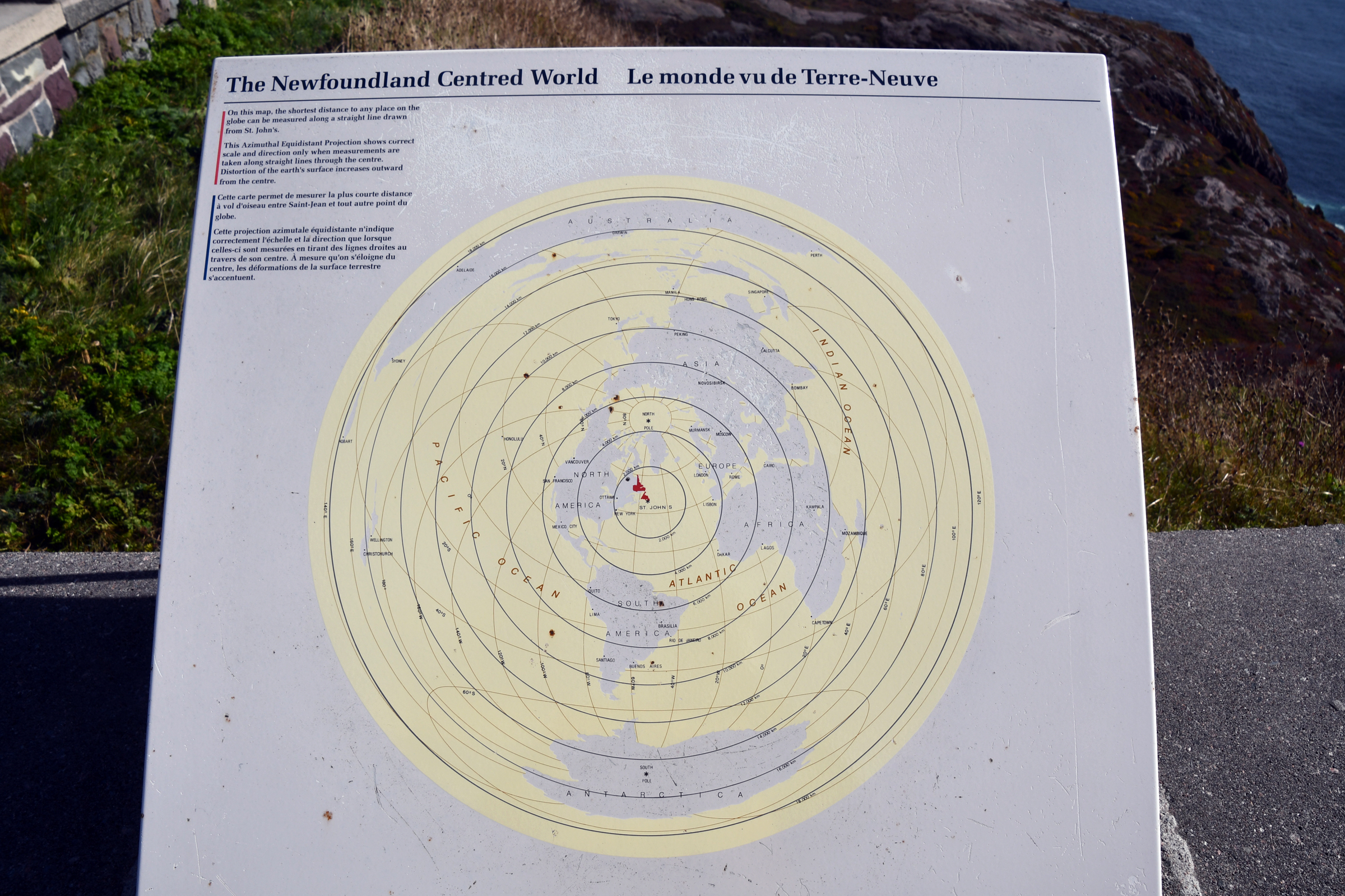
| Not quite the centre of the world... |
|
|
| . |
but the world with St John's at the centre. |
|
|
|
The narrow entrance into the port |
|
|
|
|
The Great Fire of 1892. |
|
|
|
St Jophn's was invaded by icebergs in 1983. |
|
|
|
| Plaques to Marconi's wireless feat. |
|
|
|
|
|
| A dog - A newfoundland of course! |
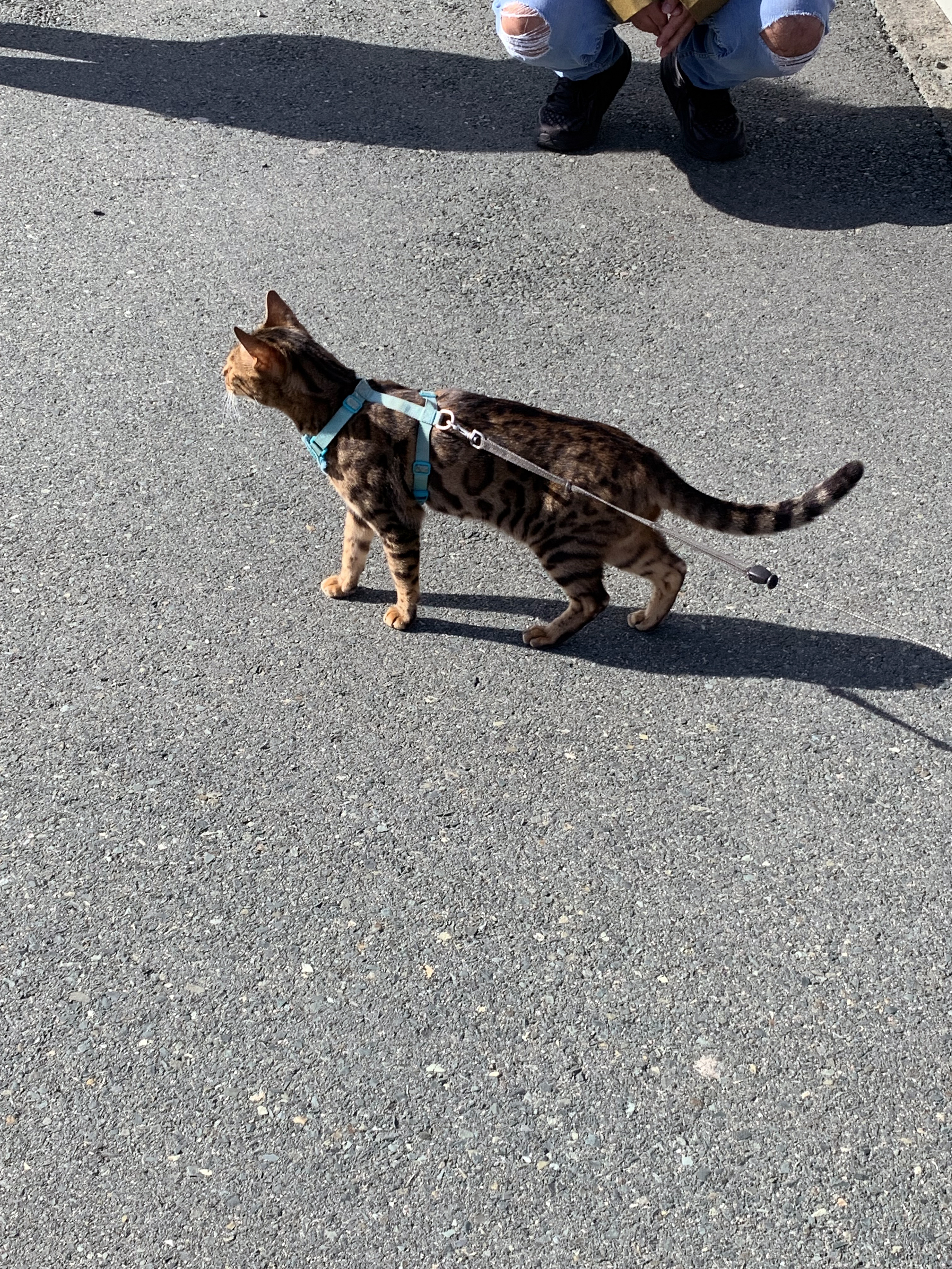
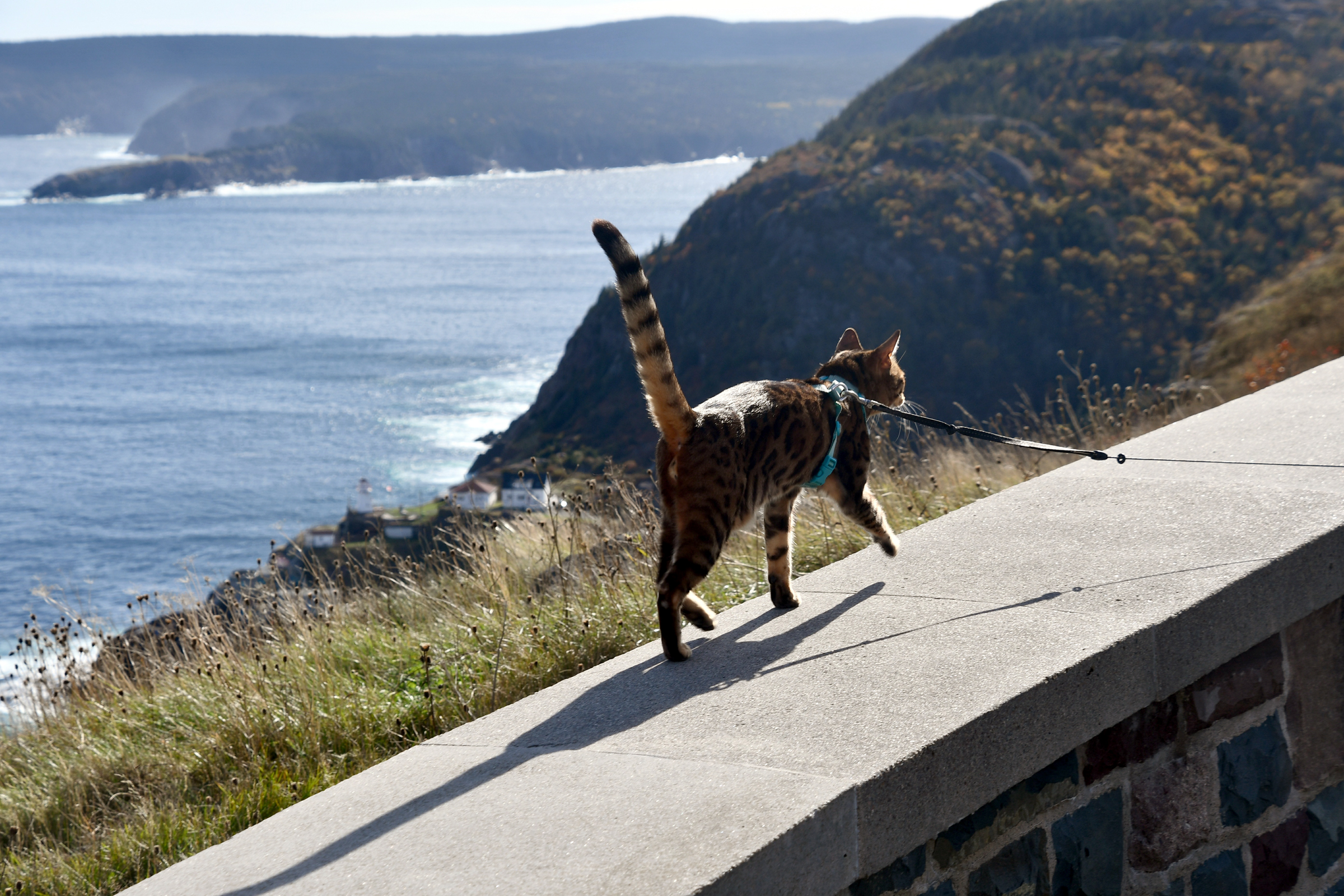
And a cat out for a stroll |
|
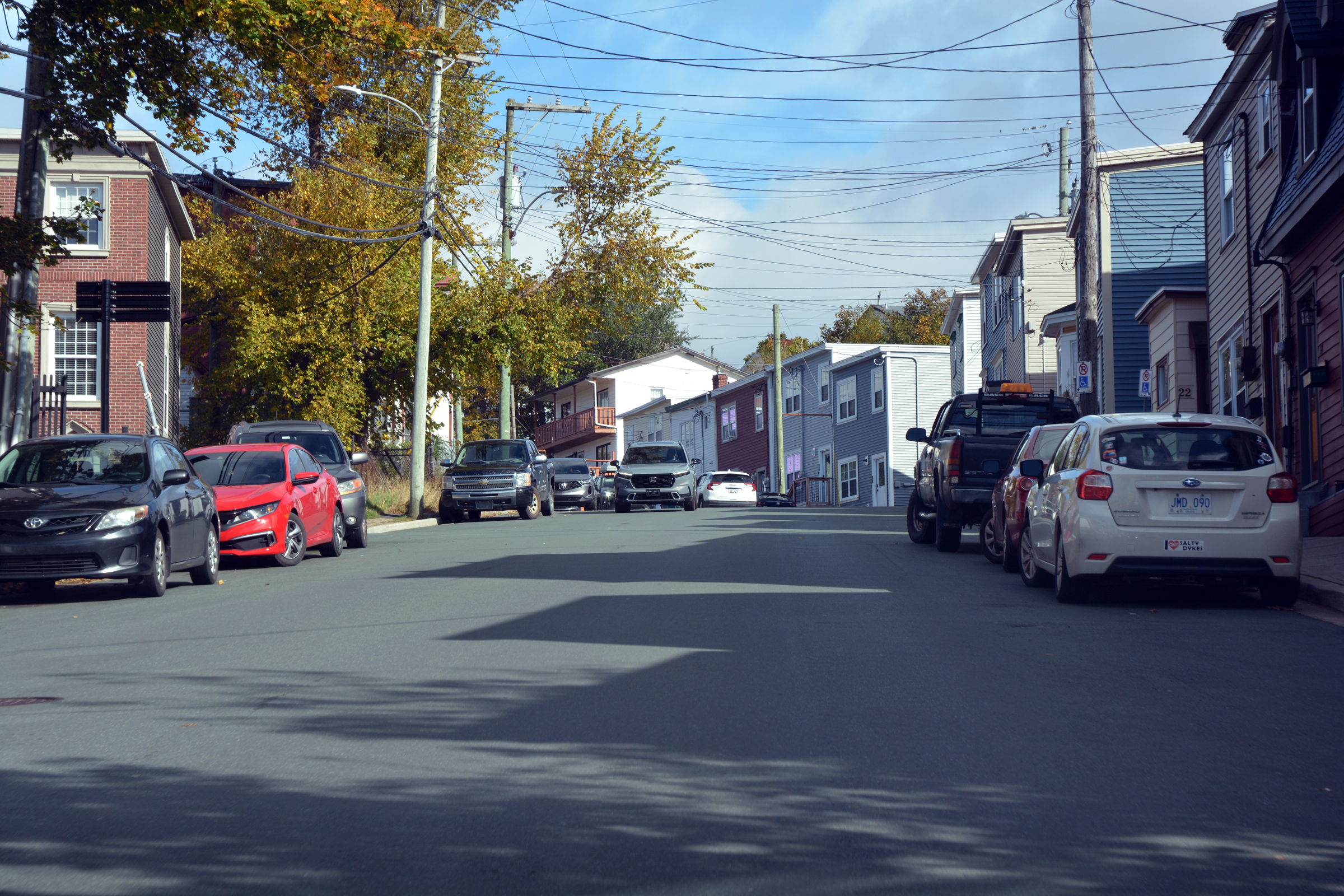
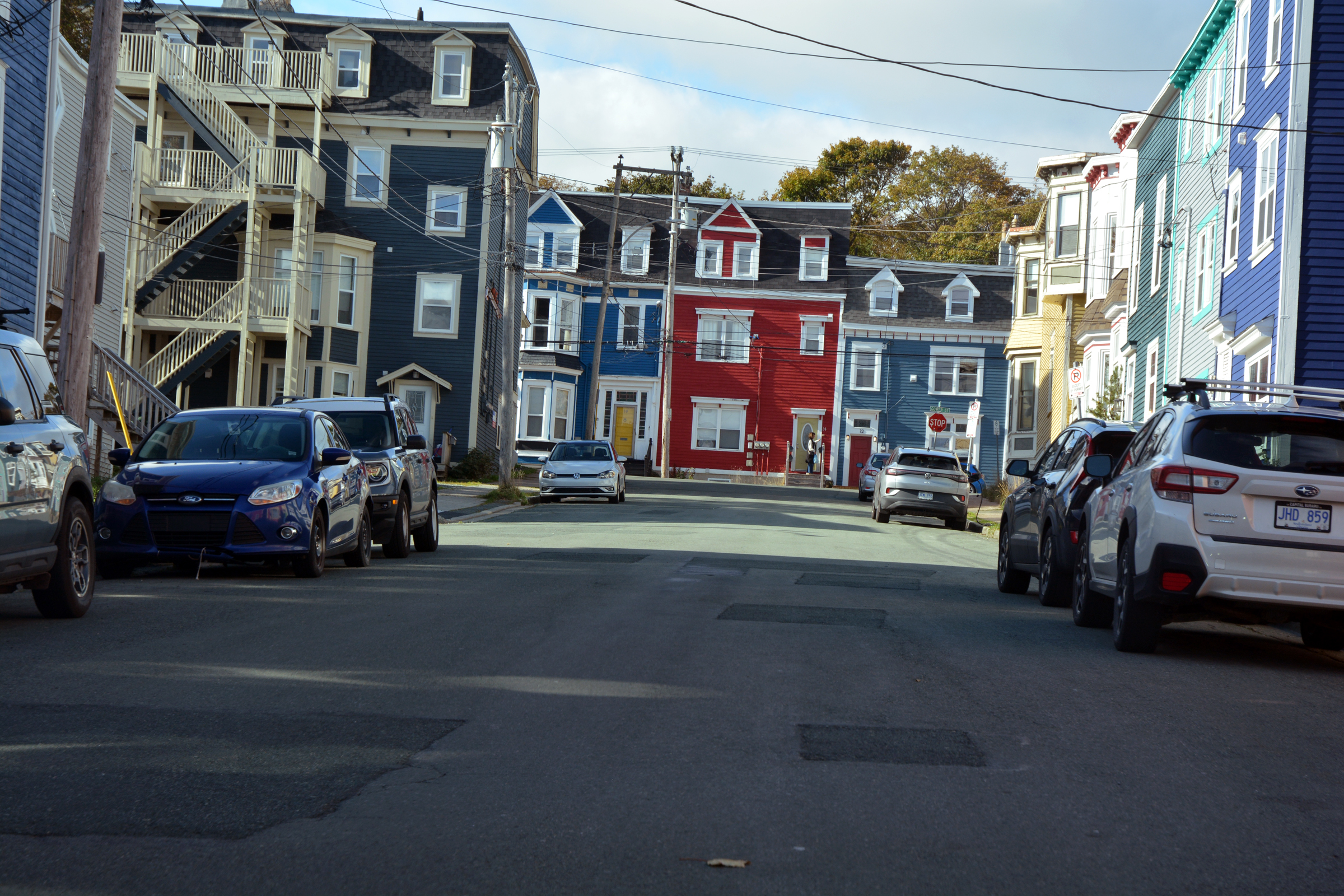
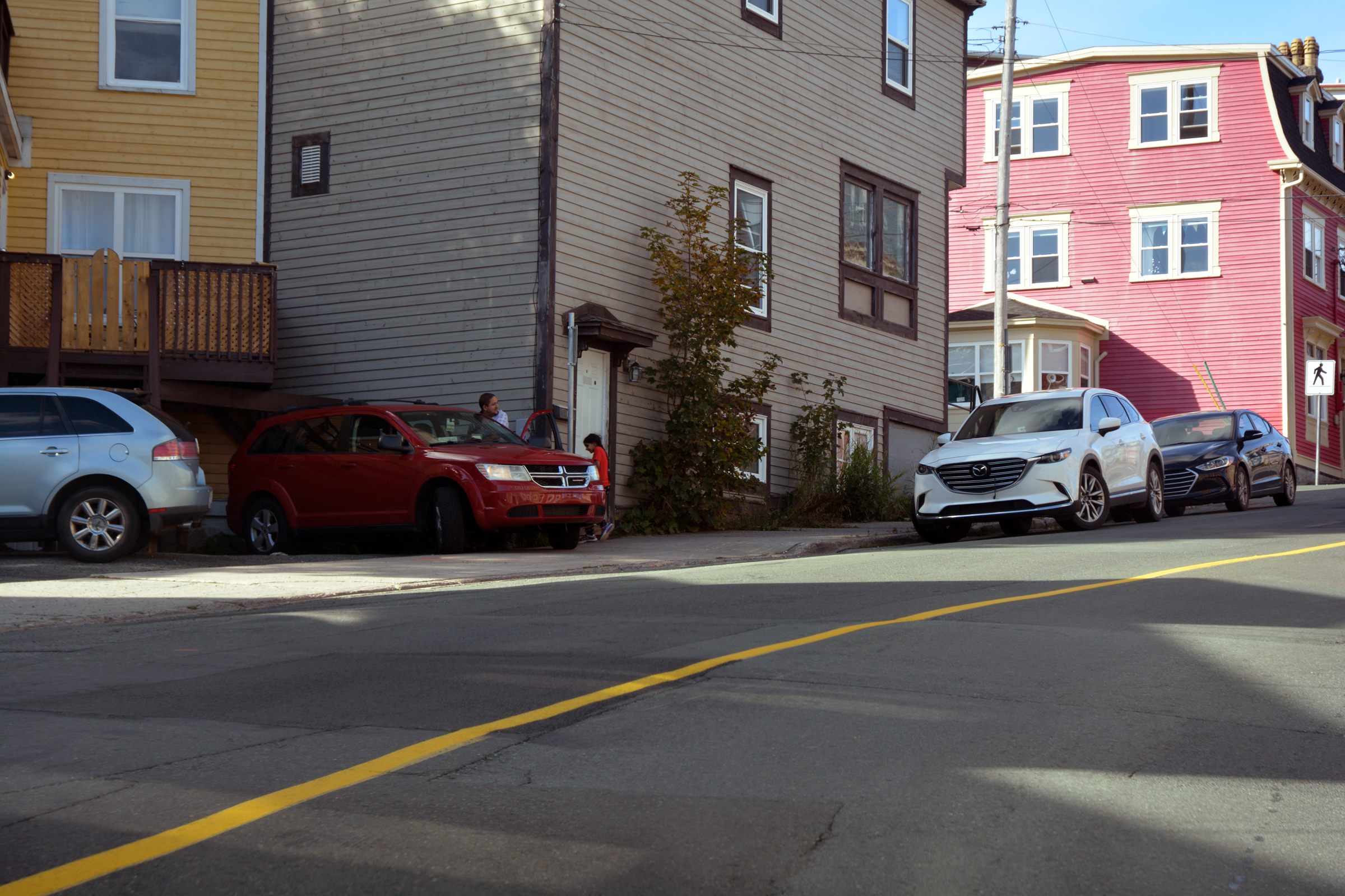
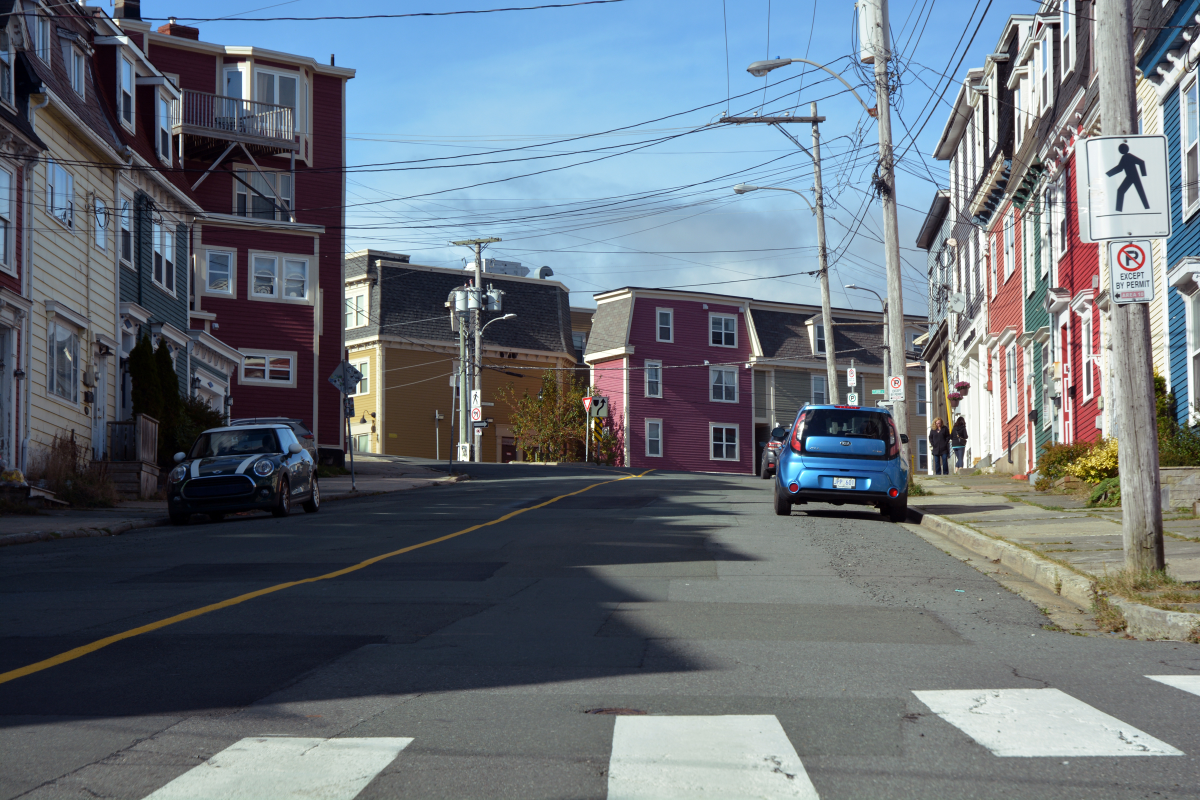
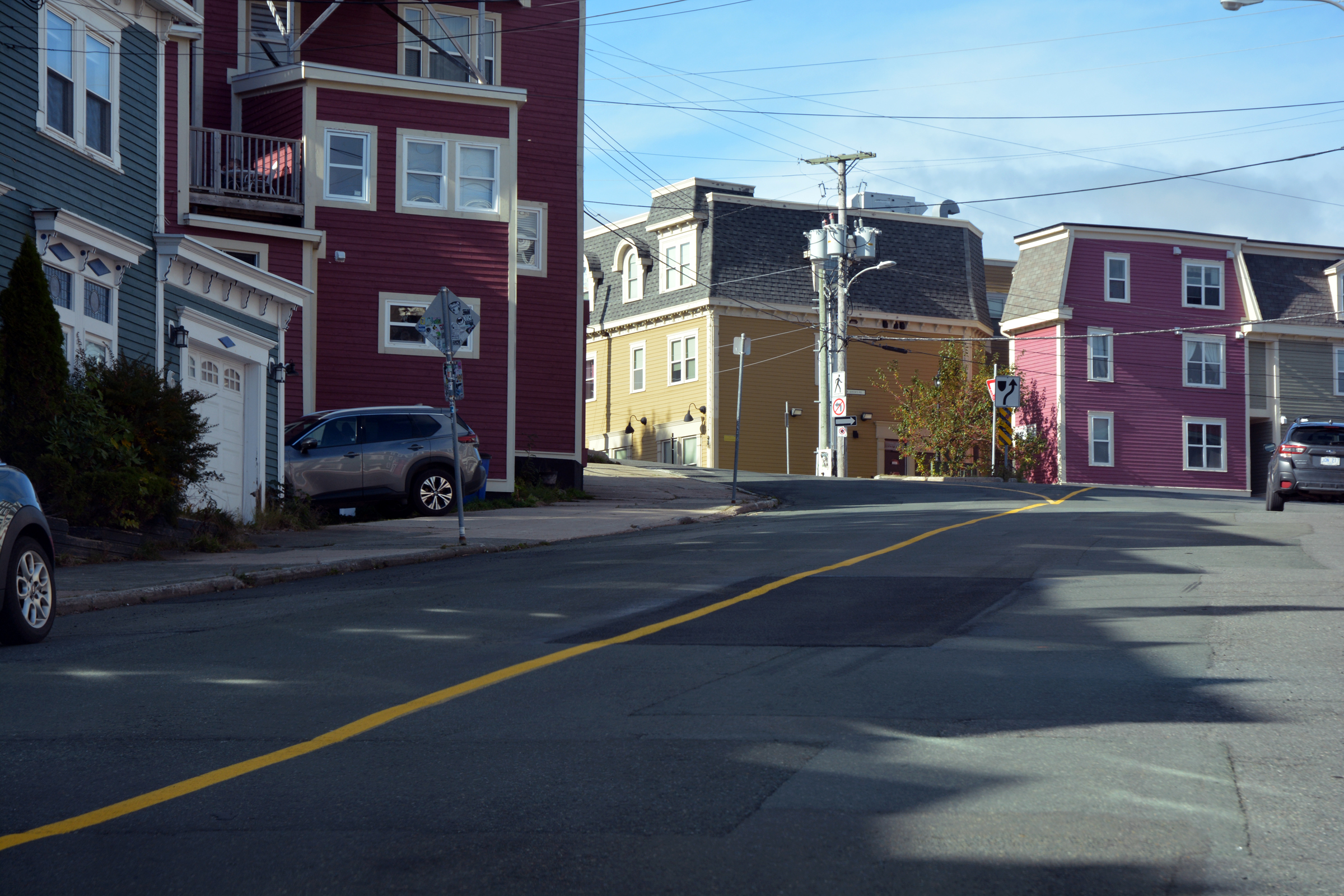
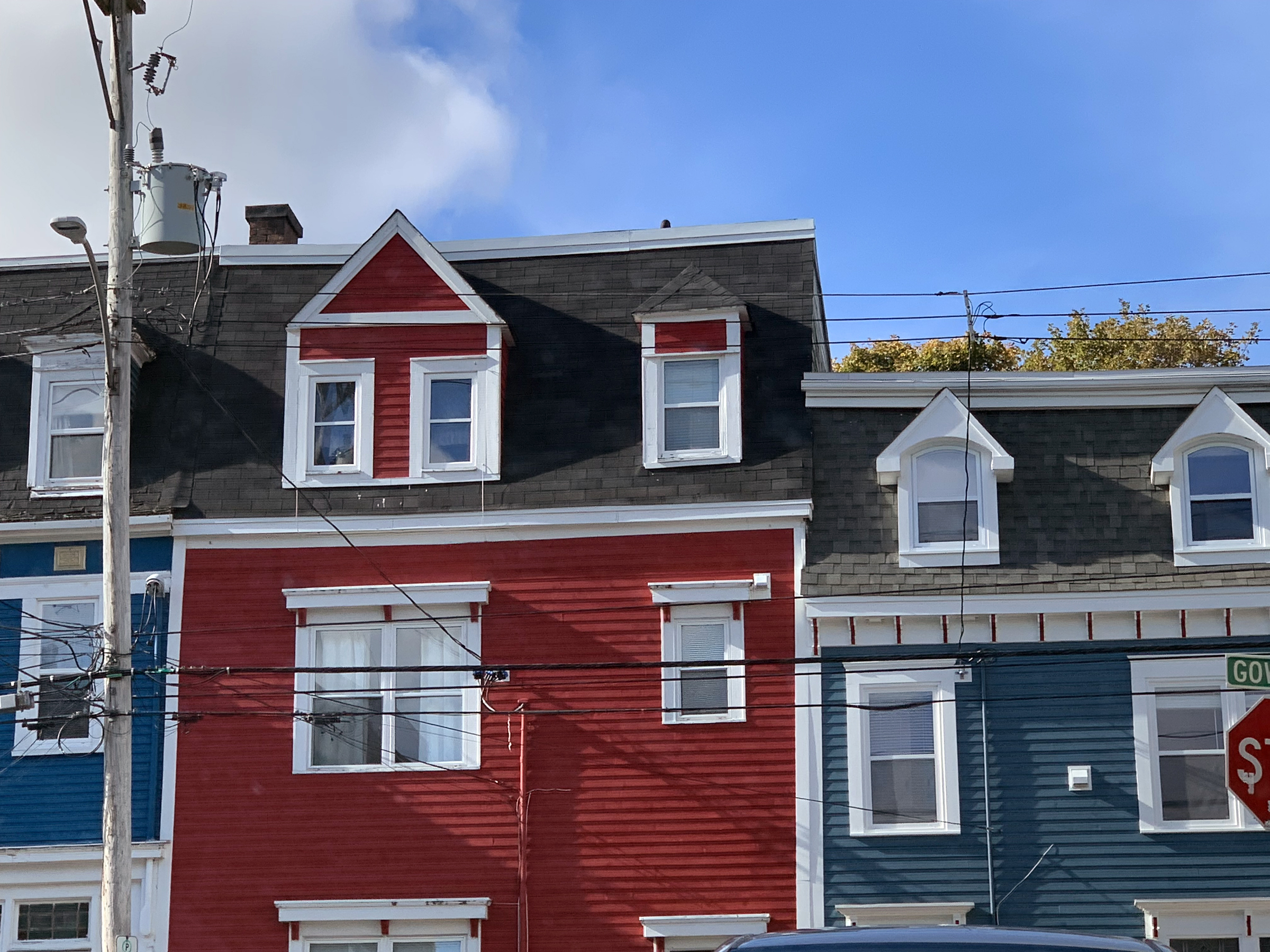
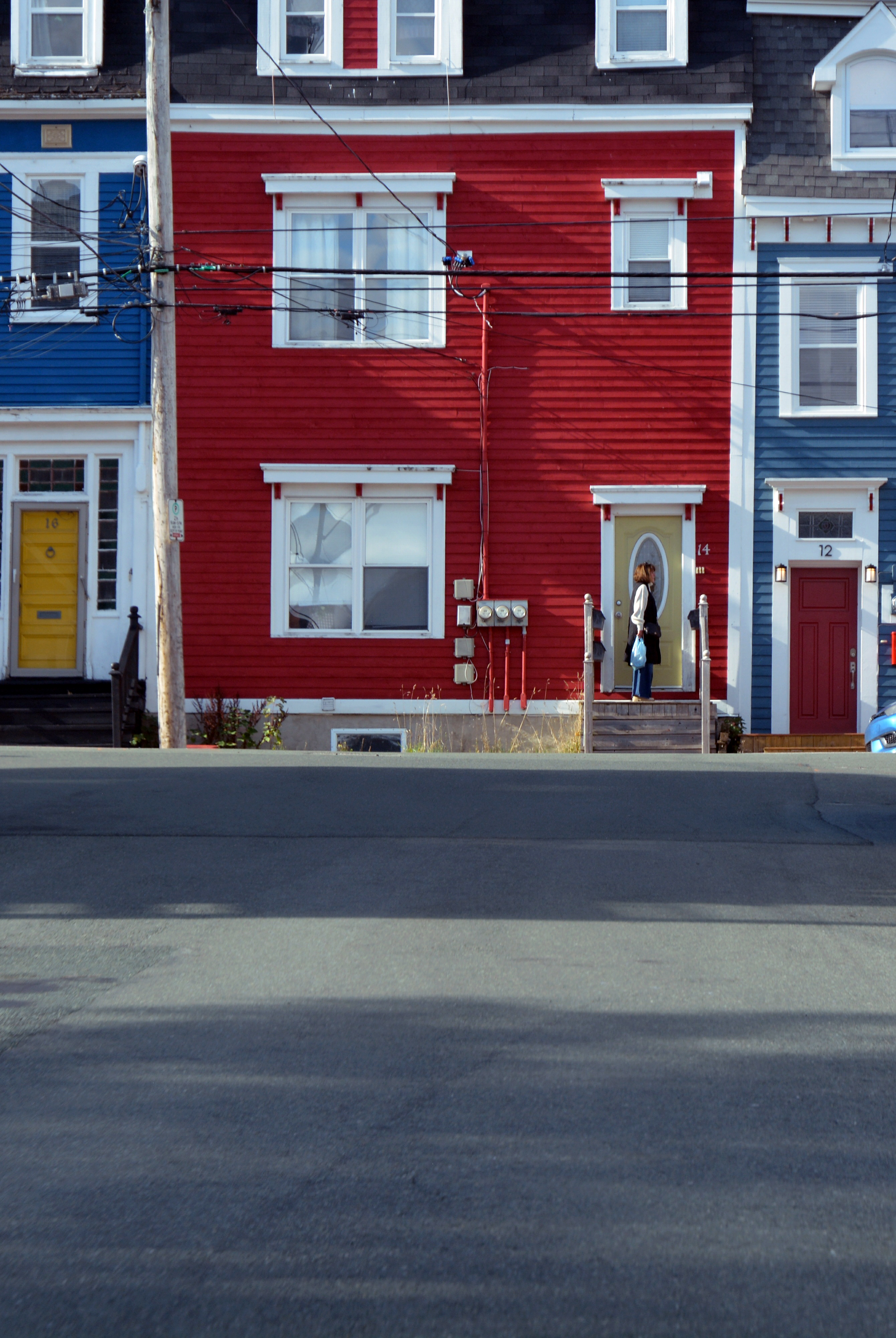
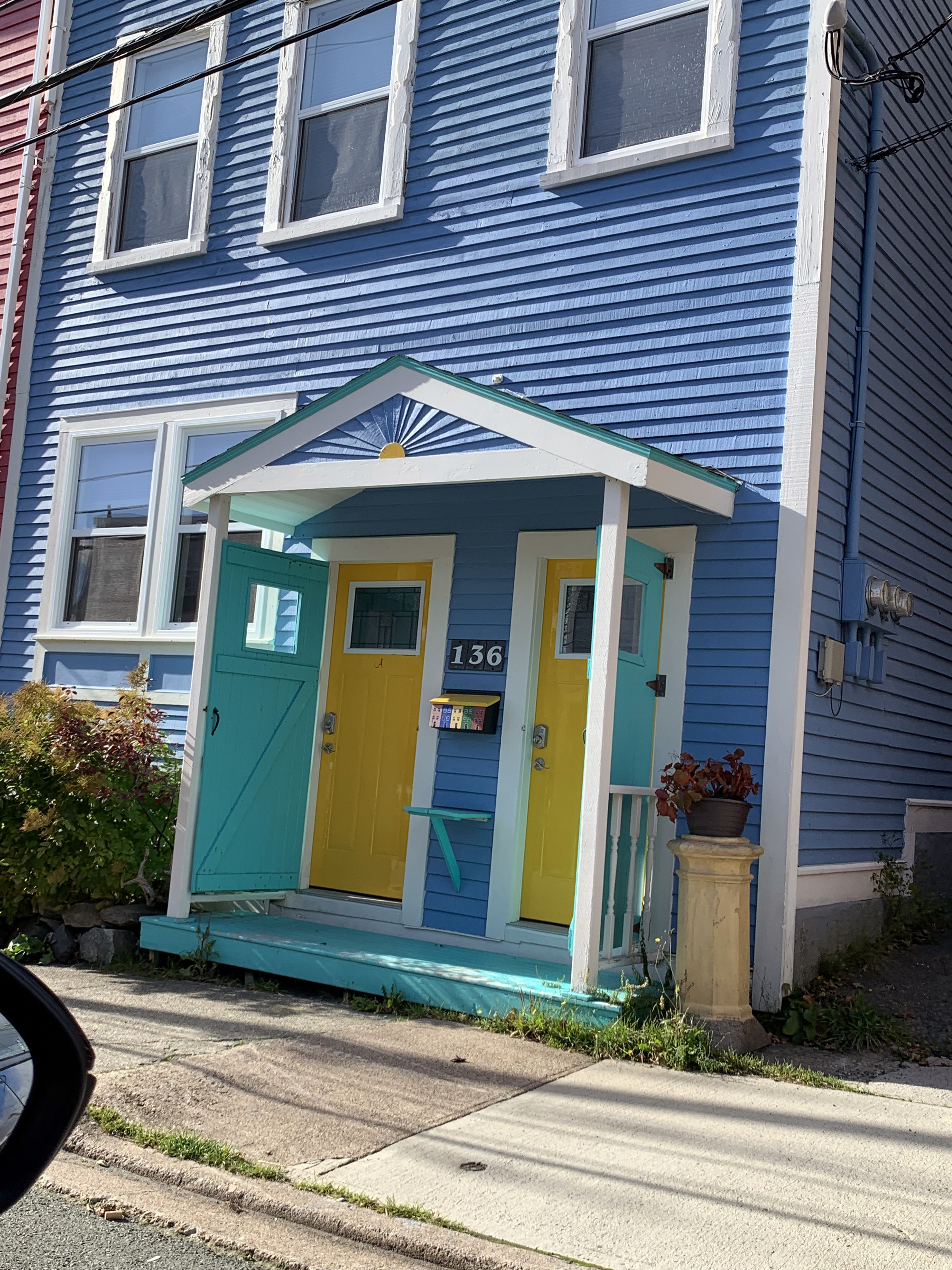
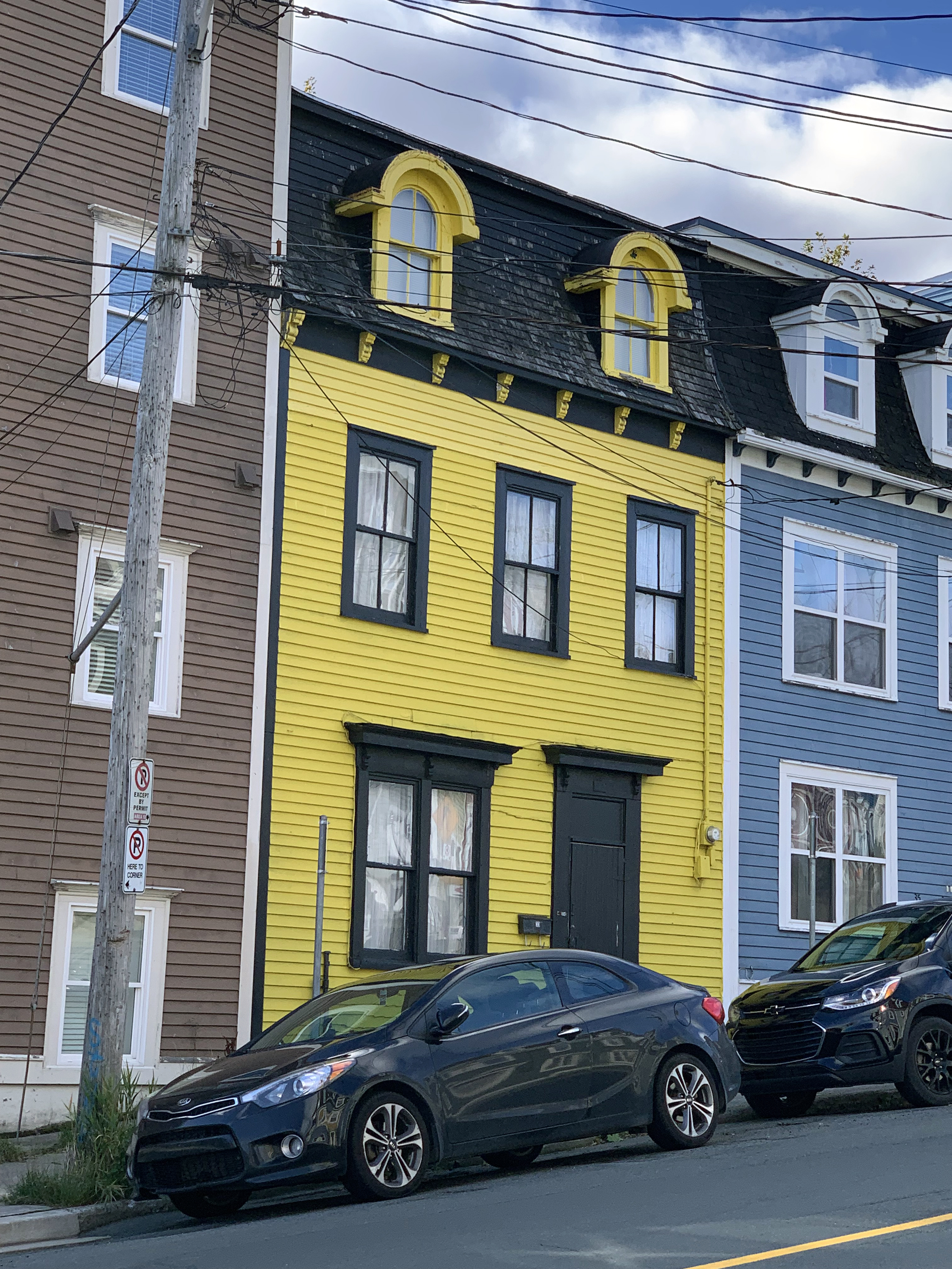
Jelly Bean Houses, Newfoundland
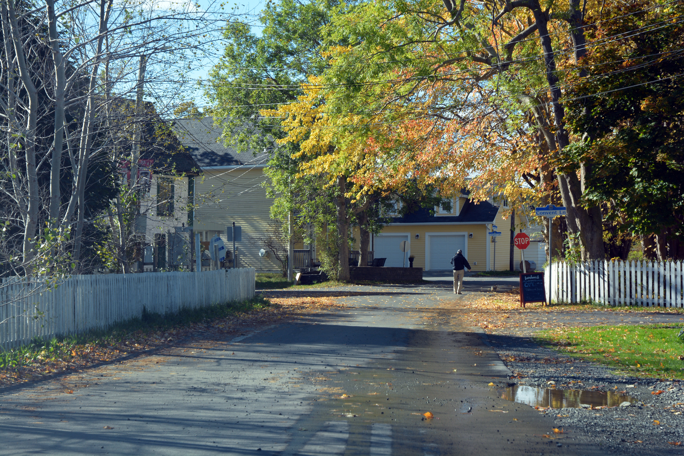
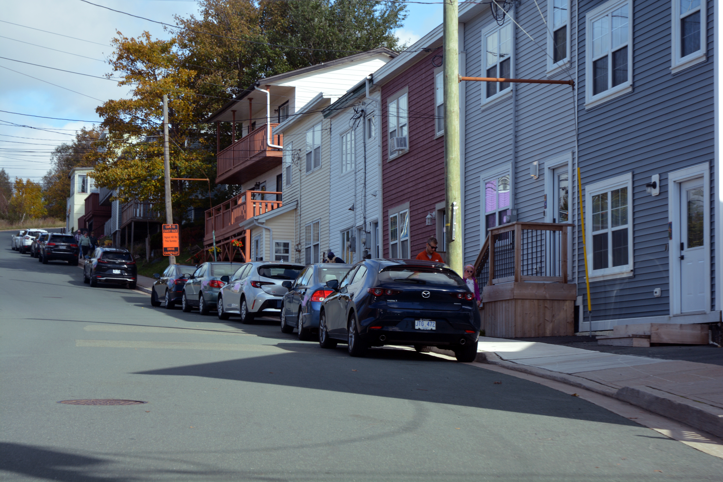
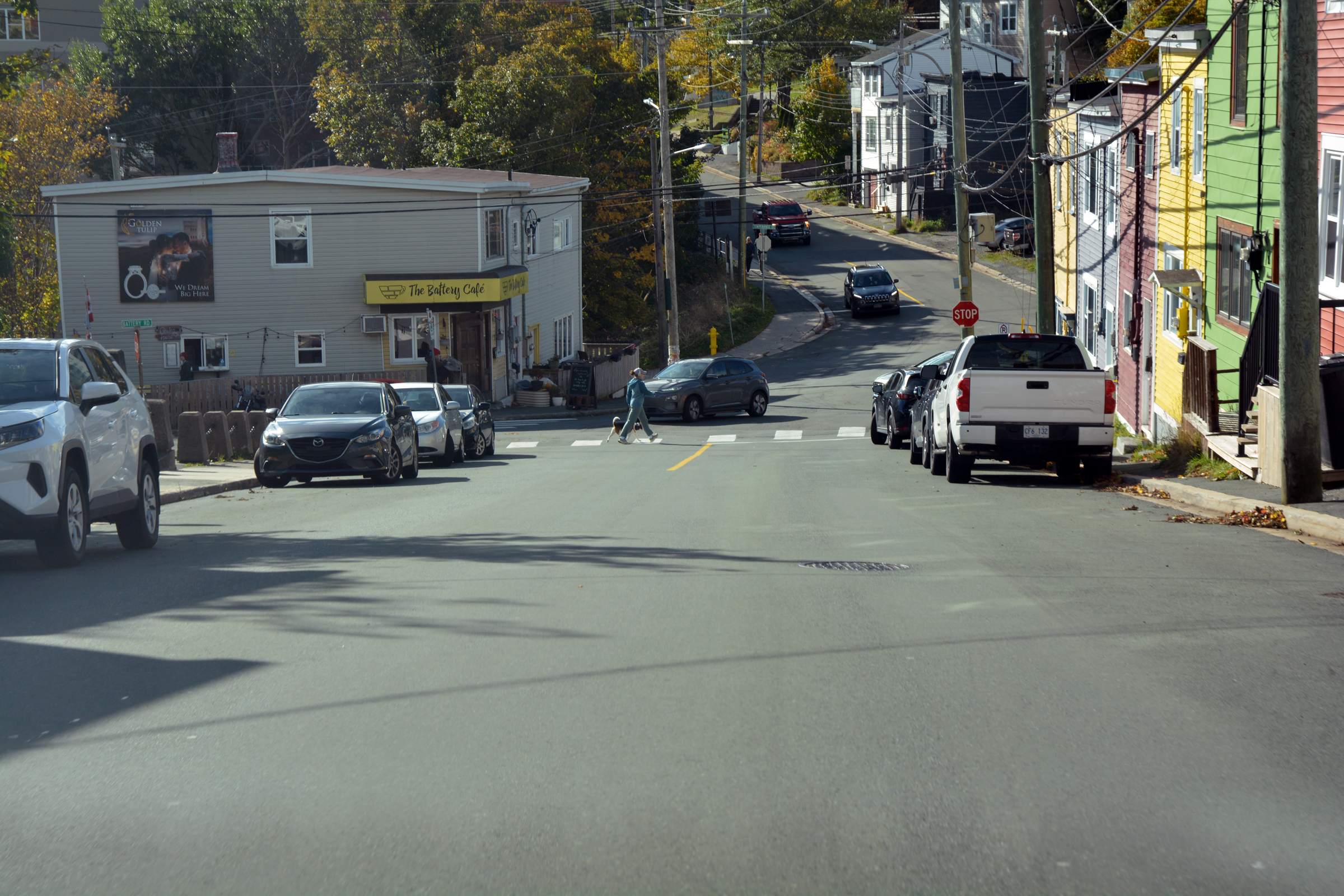
From Signal Hill we returned to Saint John's and drove around Victoria St, the site of the famous "jellybean houses" so named because of the range of bright colours they are painted.
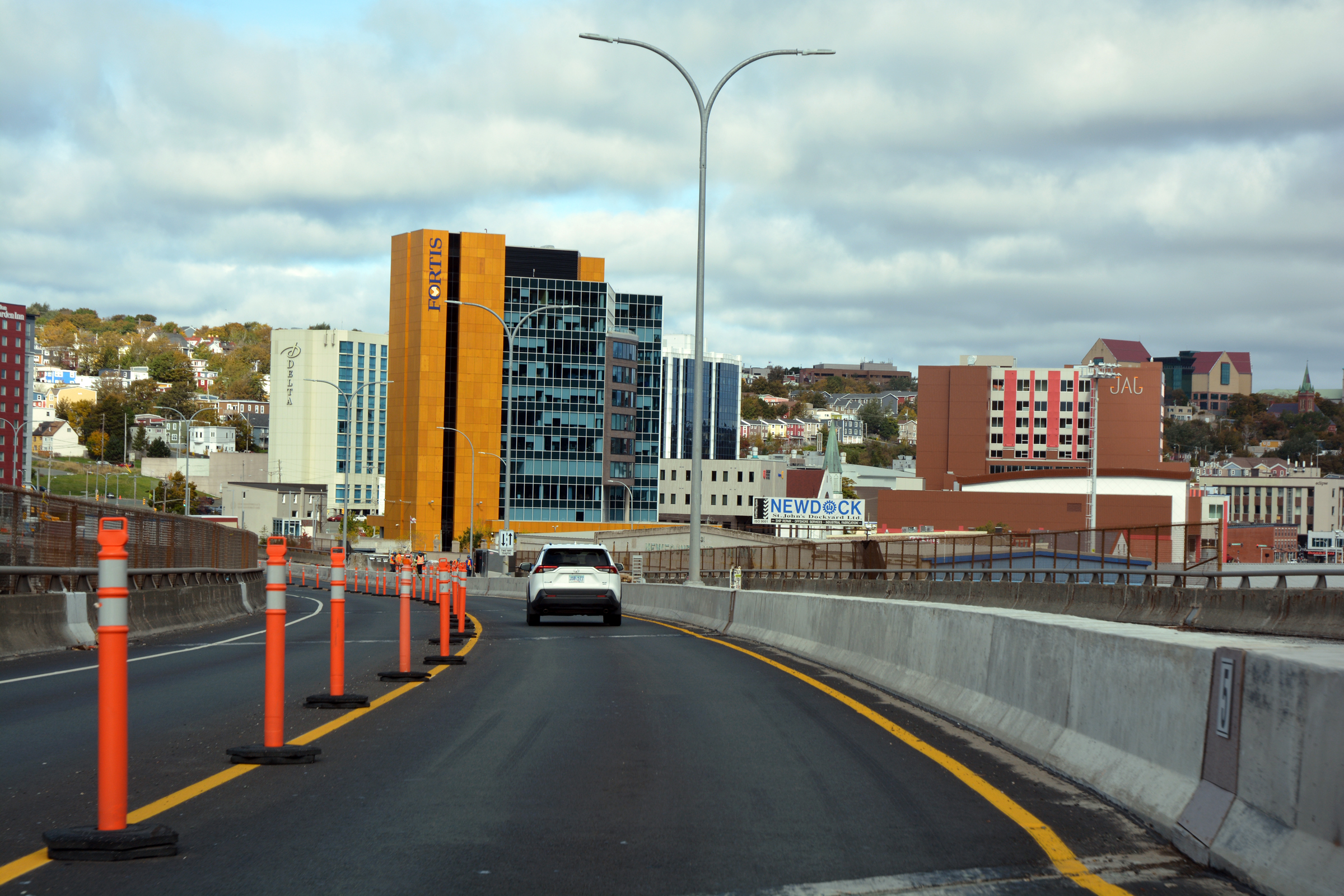
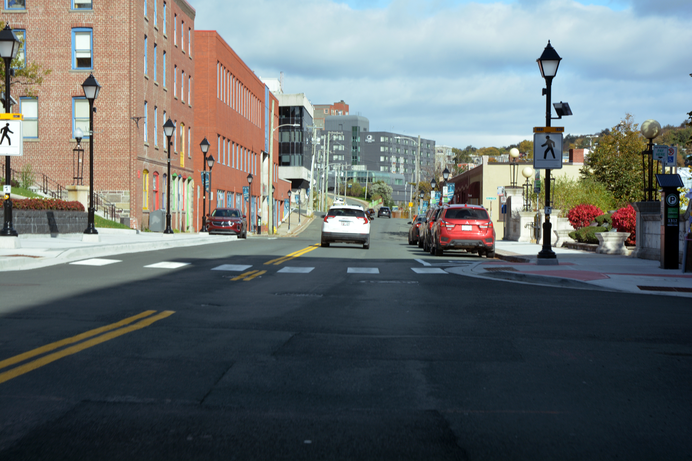
St John's to the Airport, Newfoundland
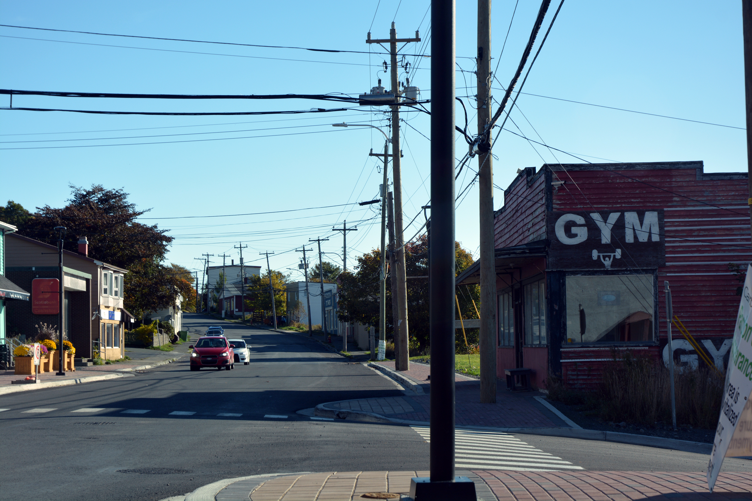
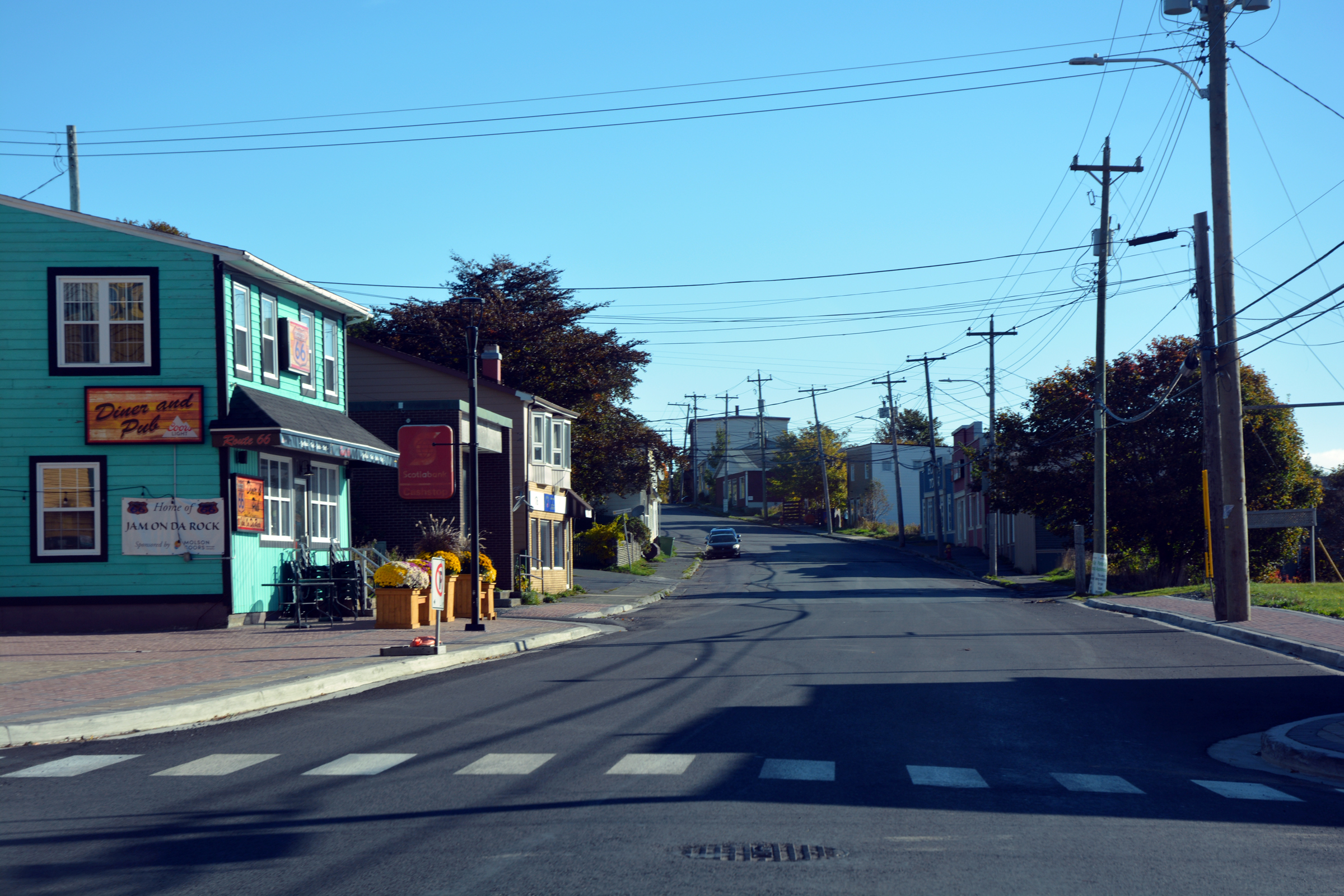
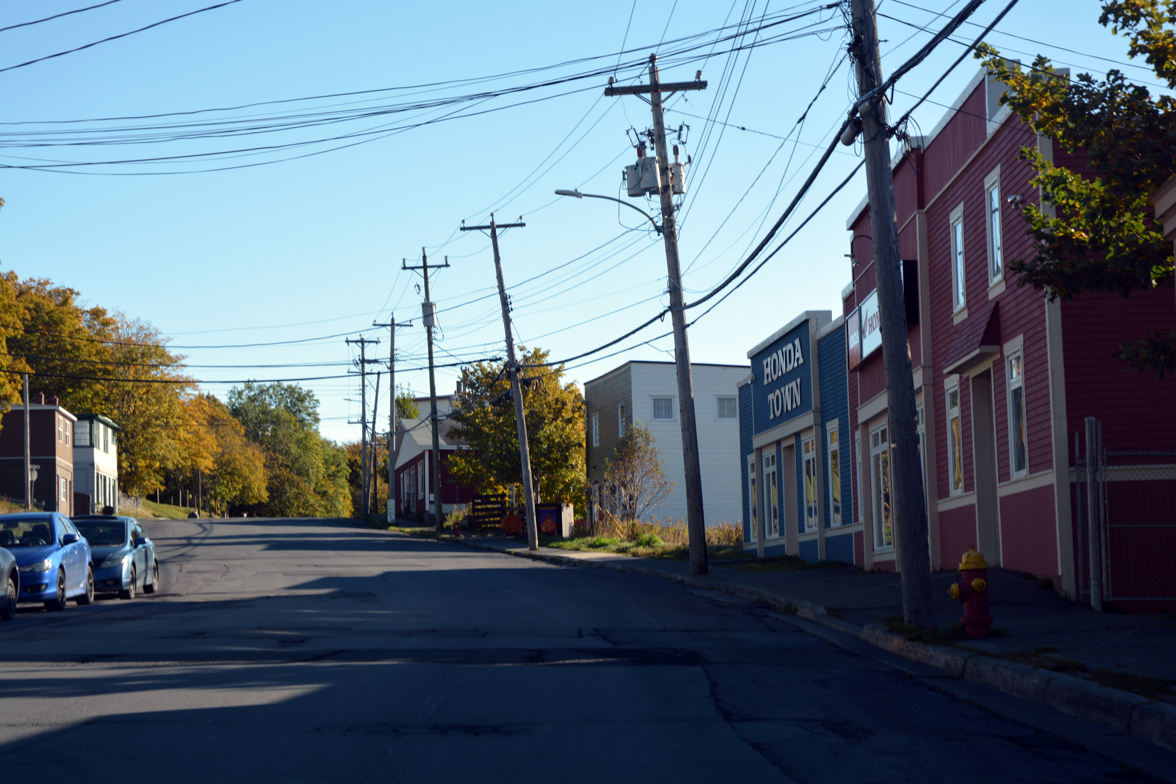
Finally a drive through the suburbs of St John;s and on to the airport to drop off the rental car. We then walked back to the Holiday Inn Express hotel. Dinner was at the nearby Rock Bar and Restaurant - although it looked closed with no lights visible it provided the best food we had eaten all week.
| the leafy suburbs |
|
|
|
|
|
|
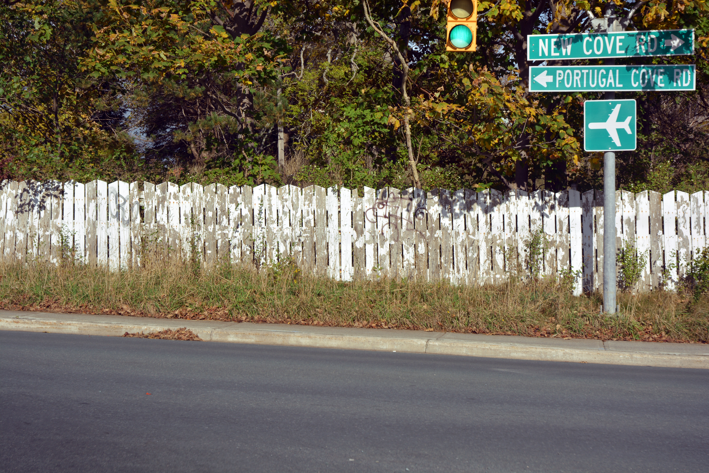
See, we were't lost at all - there is the airport sign! |
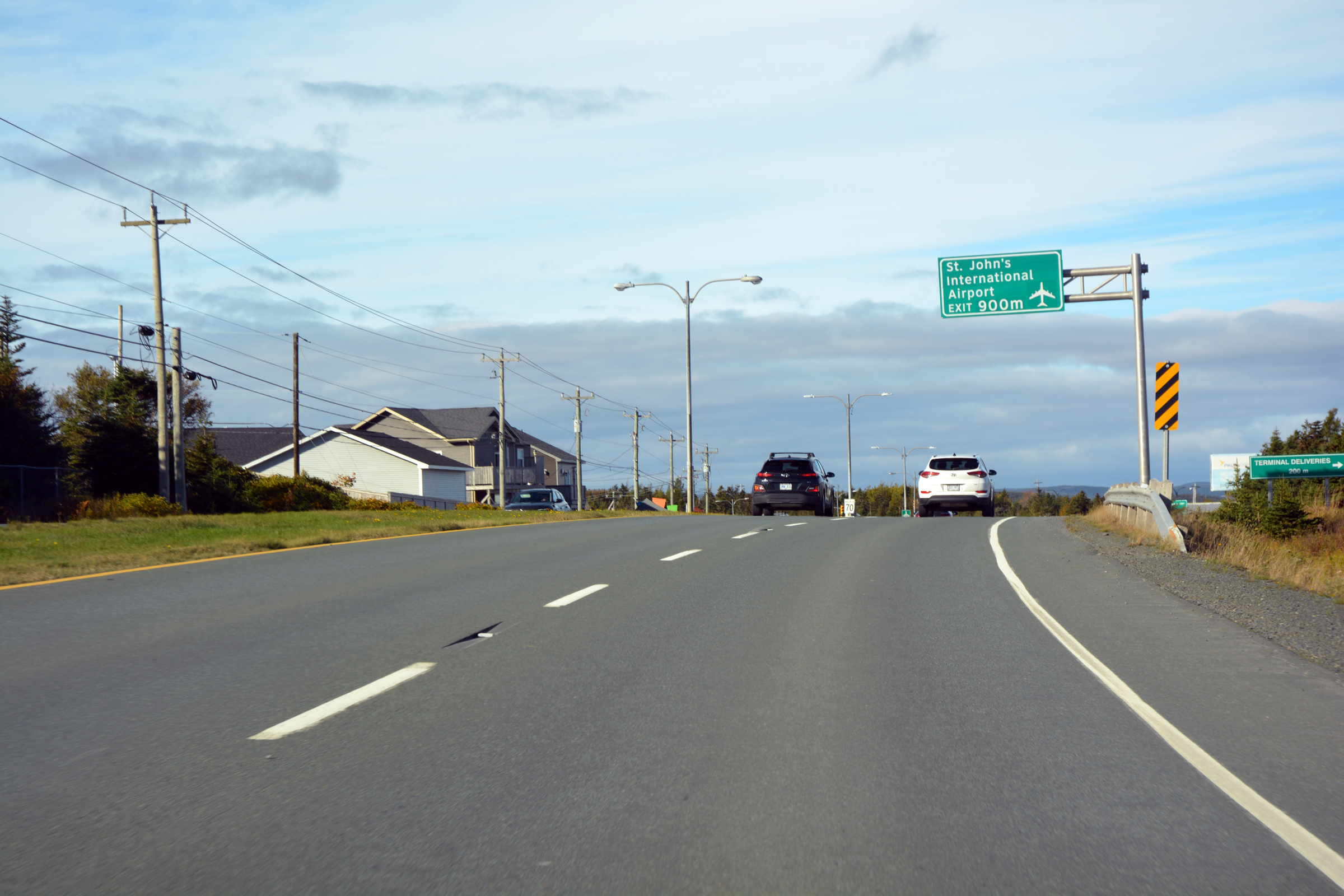
And finally, Airport exit in 900m. |
 Back to previous day-------------
 Forward to next day
Return to Trip Index
Return to Trip Index
Last updated: 15 December 2024
|