From the Pacific to the Atlantic - Crossing Canada by Train
2 October - 5 November 2024
Canada 2024
11 October 2024: Day 10
Deer Lake to Cow Head, Newfoundland.
Introduction
Our booking at the Holiday Inn, Deer Lake included breakfast - the usual fare but better quality and presentation than many we have seen. We were on the road by 0900, first looking at Deer Lake and then trying to find our
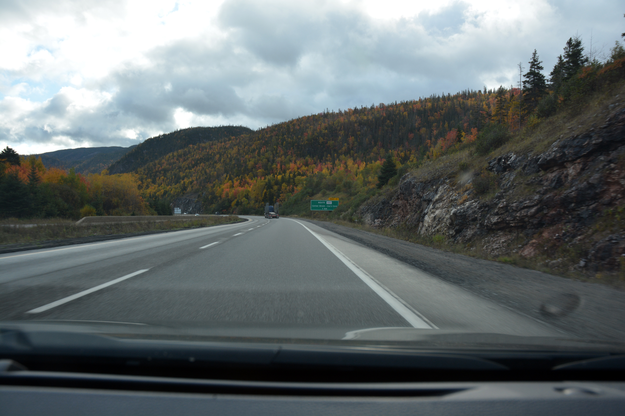
way onto the Trans-Canada Highway (TCH) to go south to Corner Brook. Only problem the signs only pointed to the TCH West or East. Hmmm, quick stop to check Google directions then we were off on the TCH West! We found the Captain James Cook Monument then returned north (East according to the TCH). Next stop
was the unusual Tablelands (but heavy rain stopped the planned walk), then north to The Arches Provincial Park before returning to Cow Head and our B&B for the night.
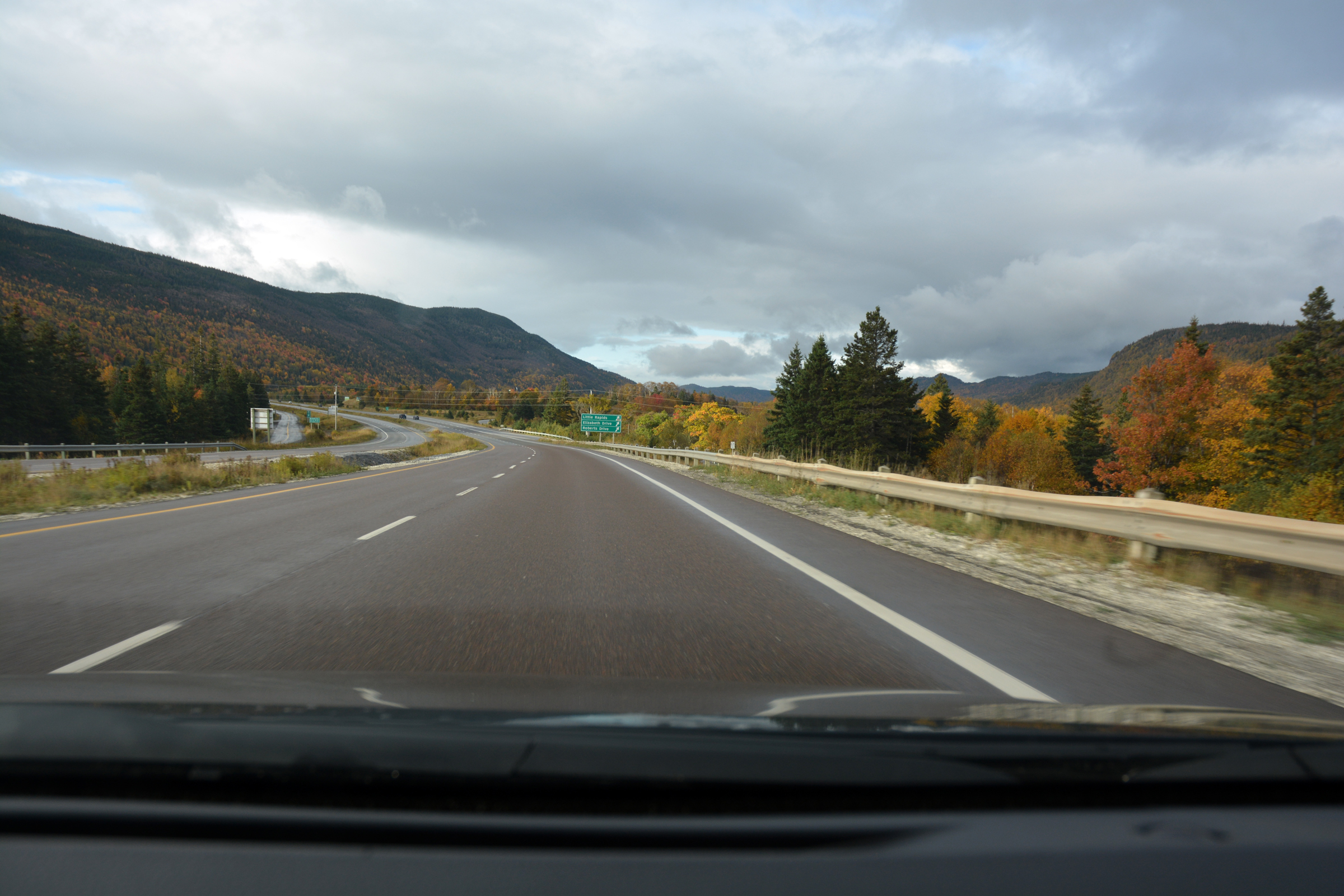
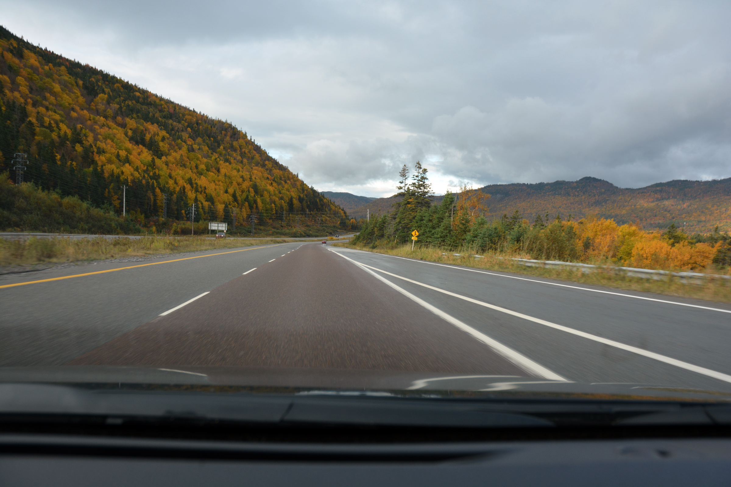
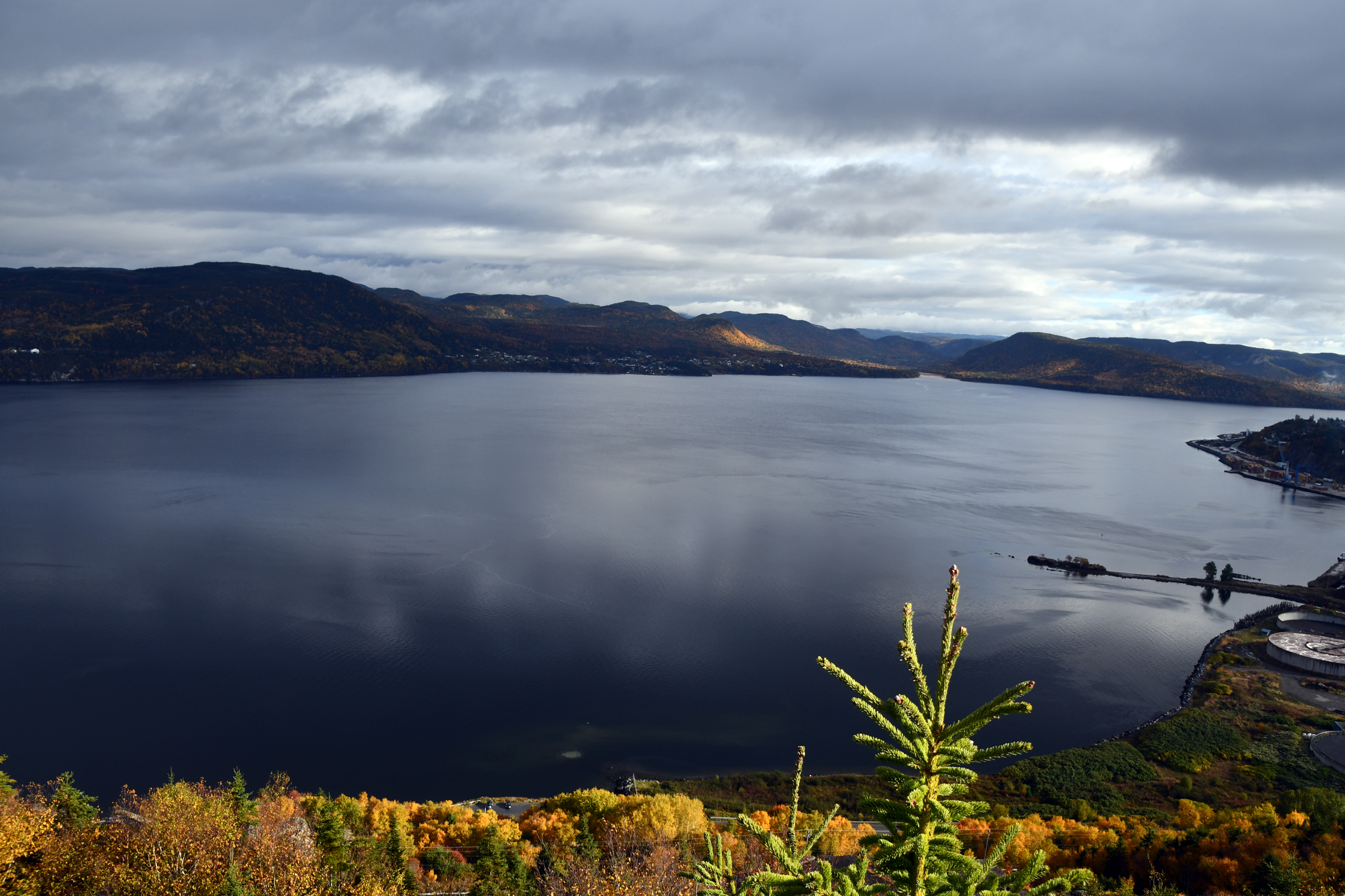
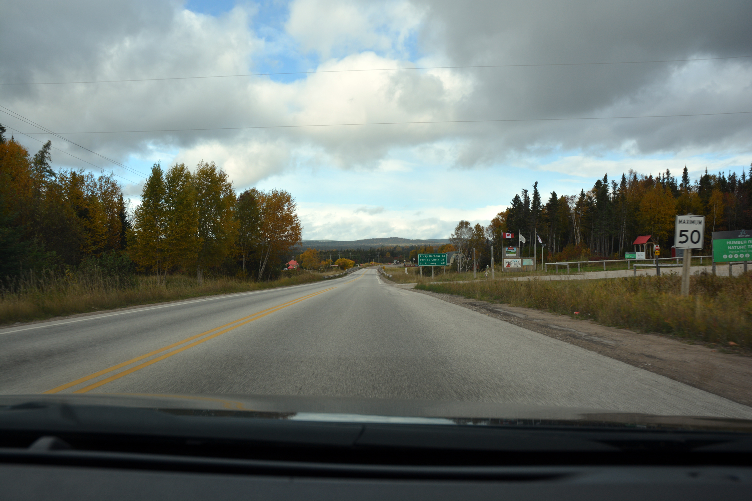
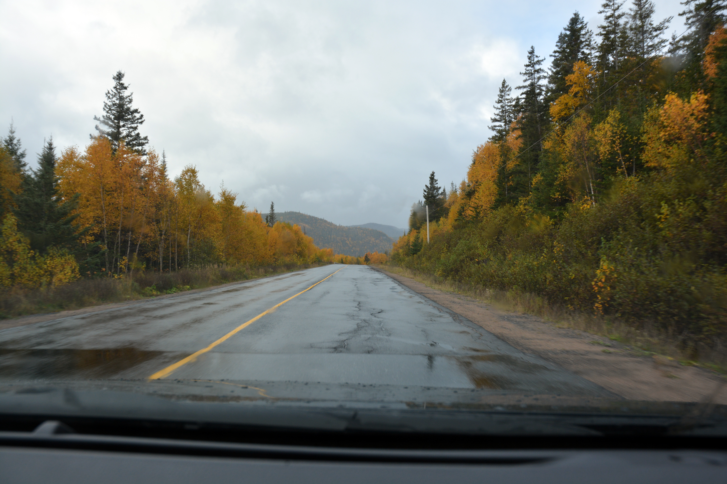
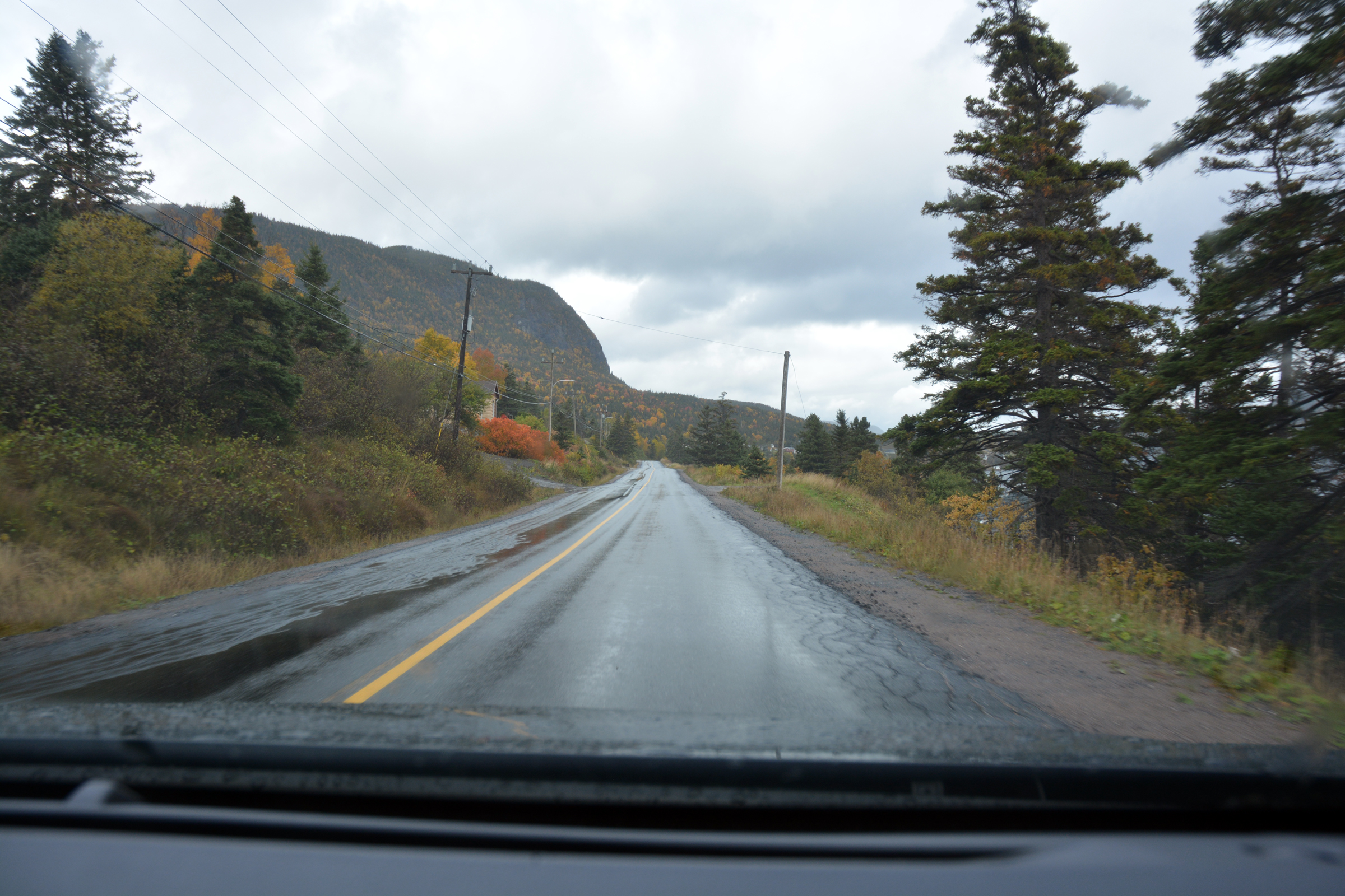
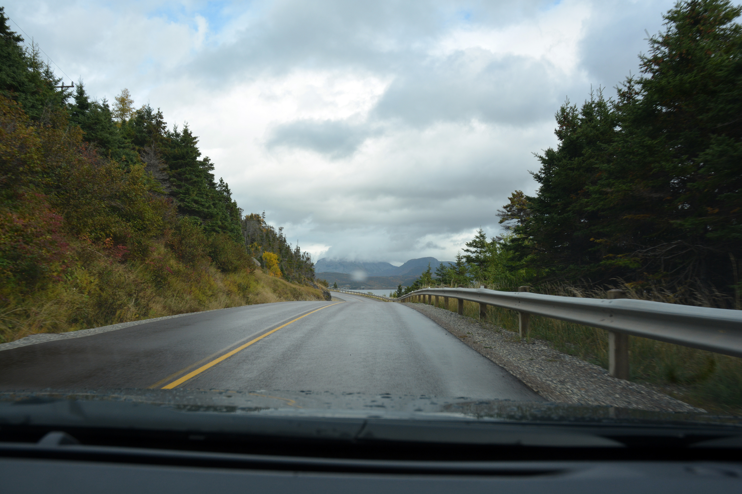
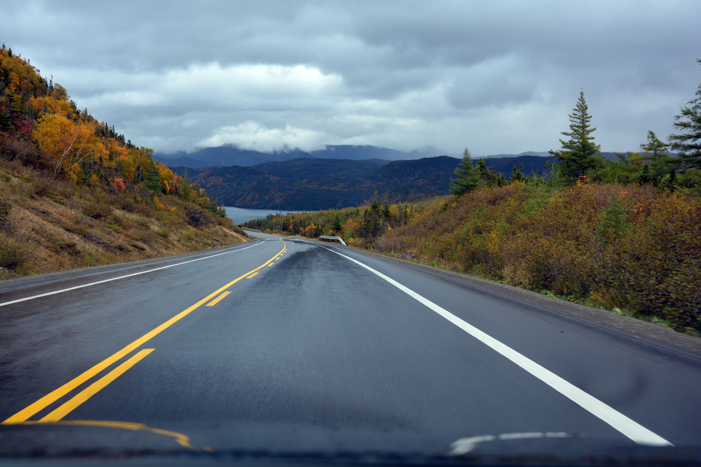
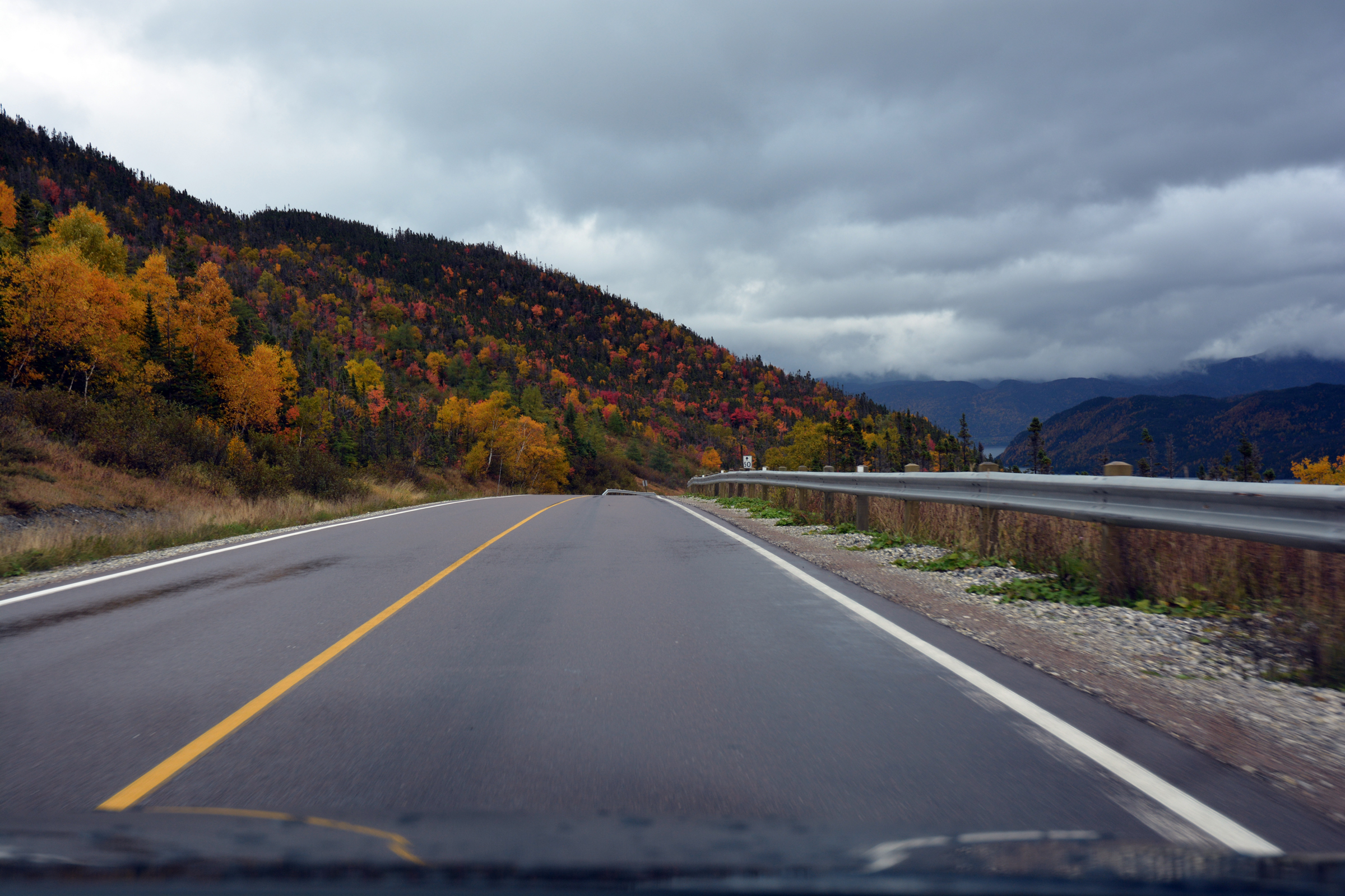
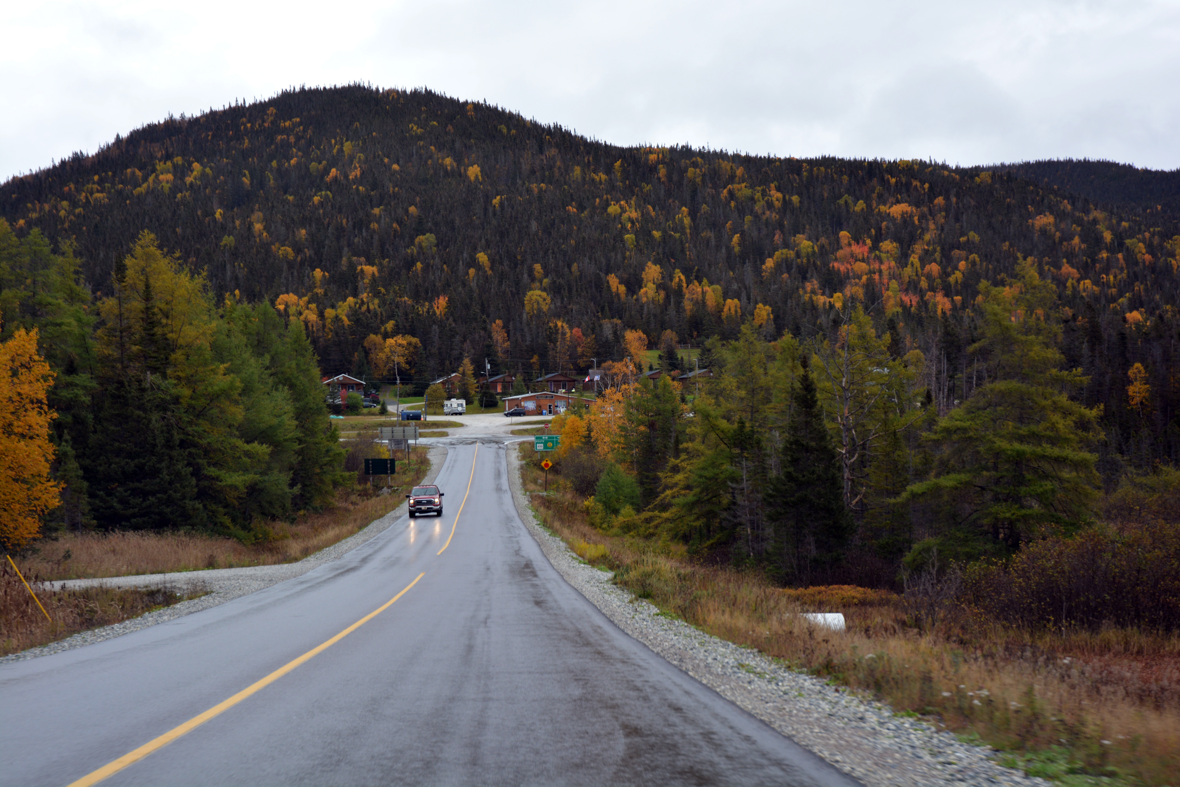
Deer Lake and the highway south to Corner Brook
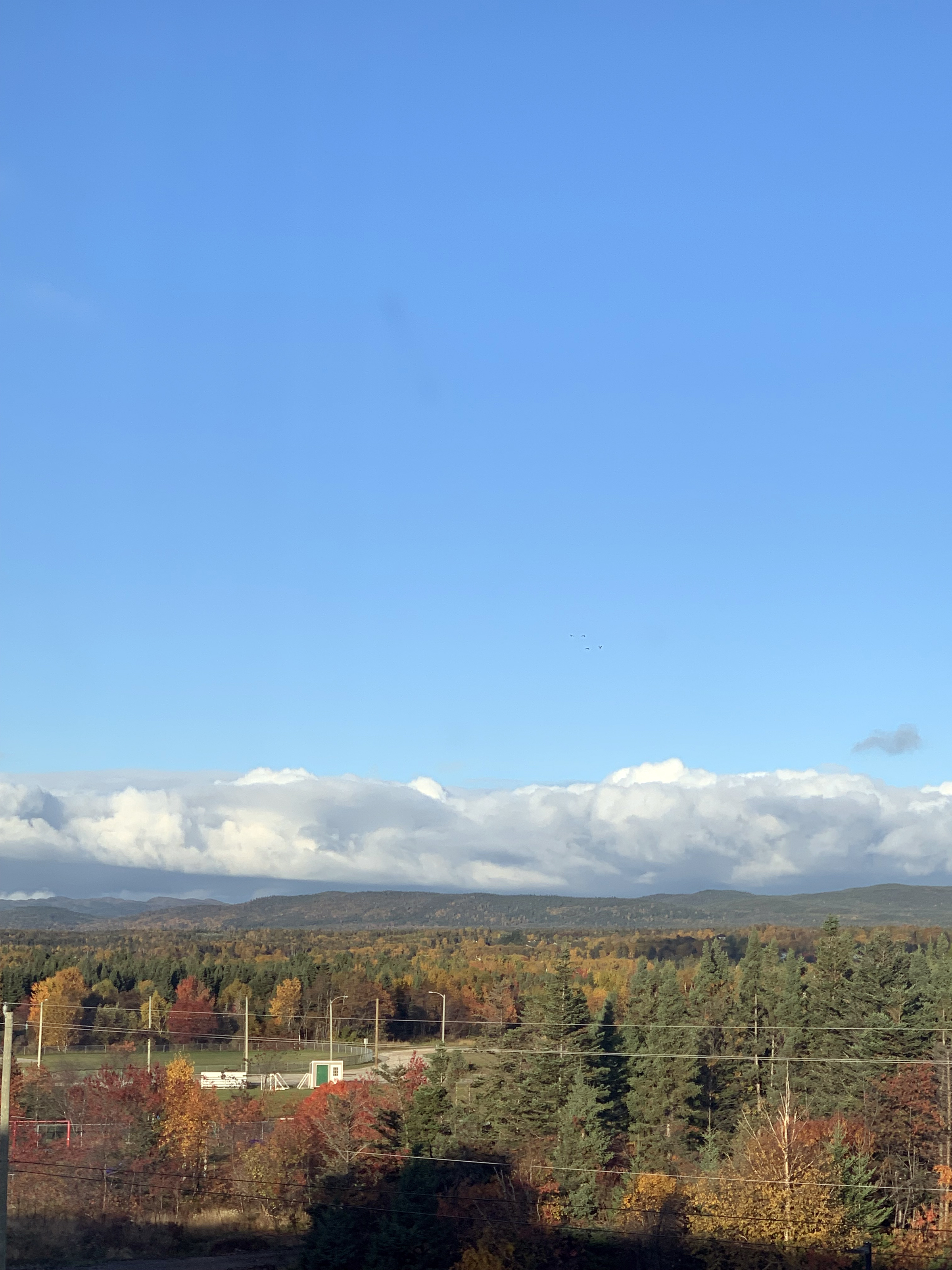
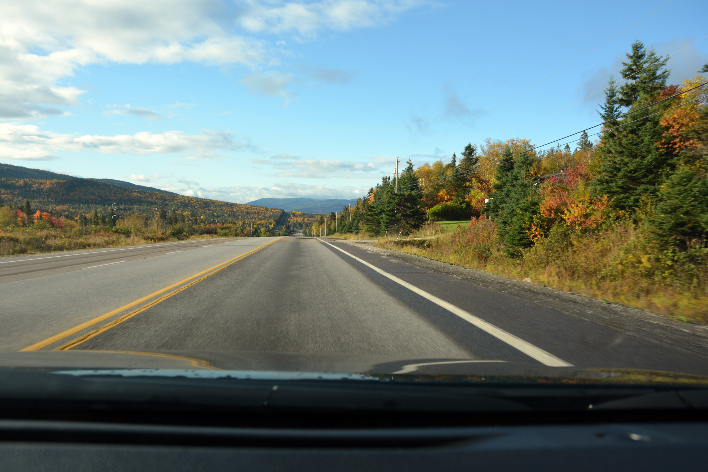
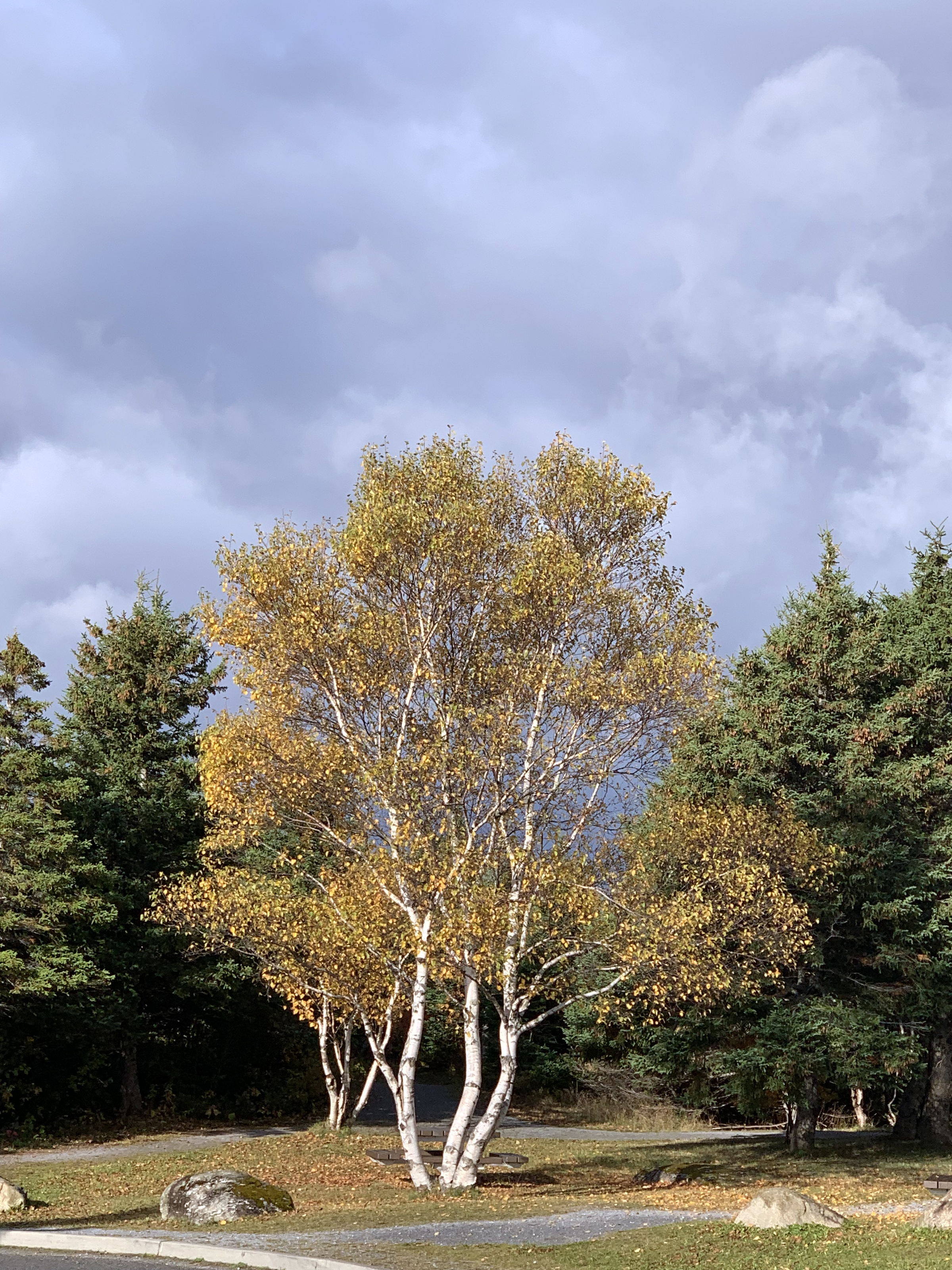
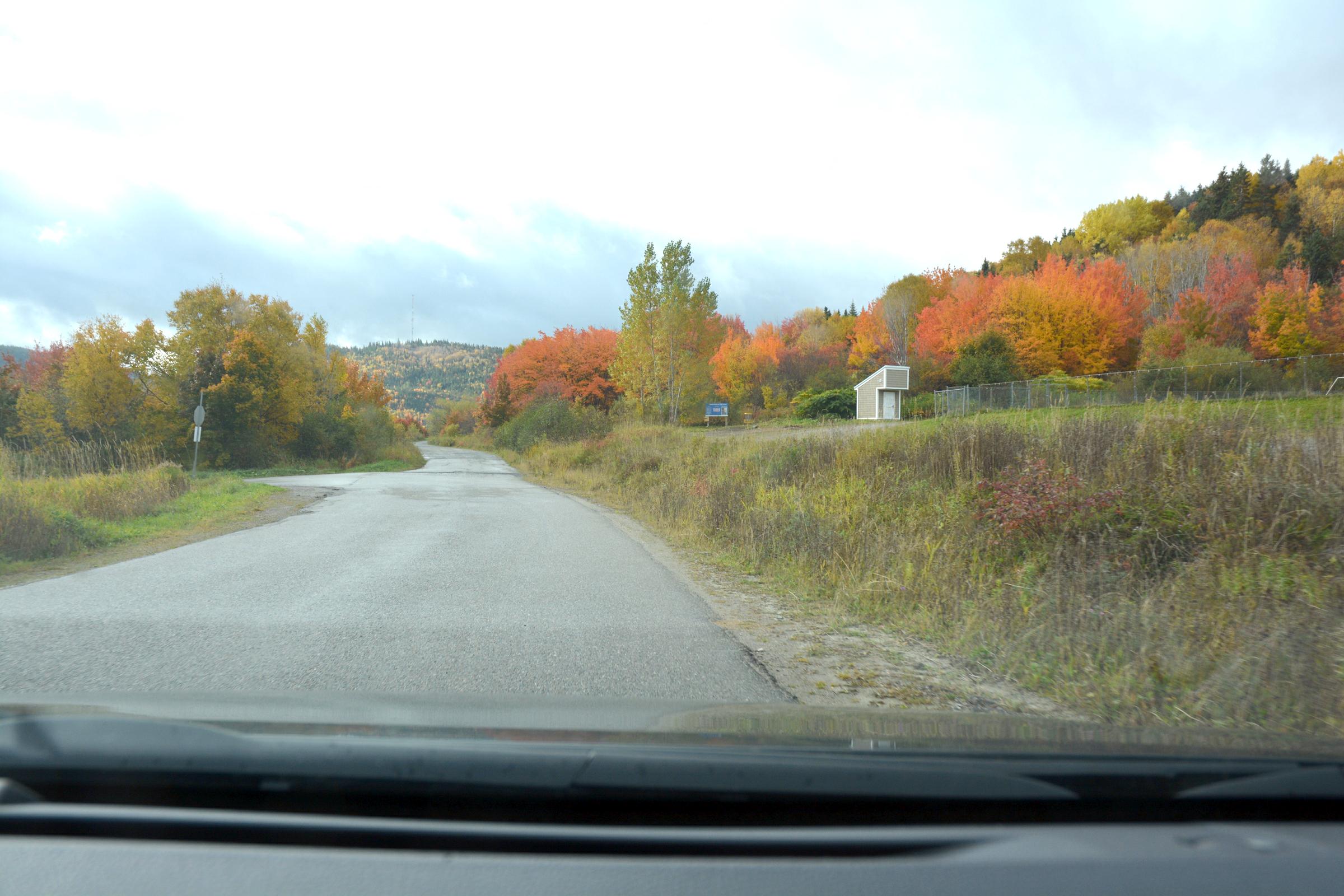
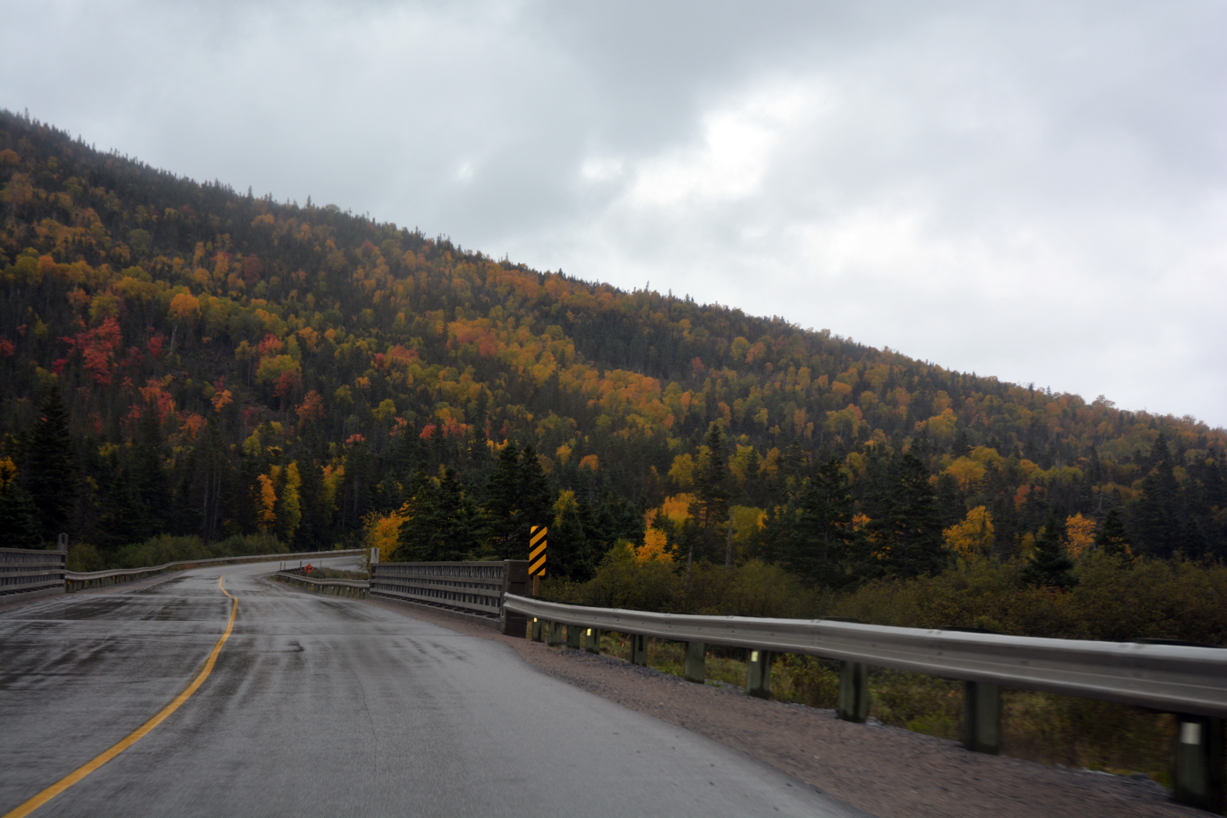
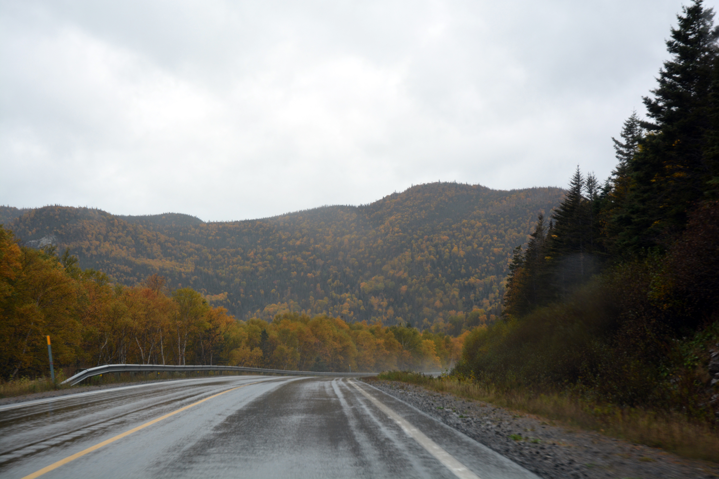
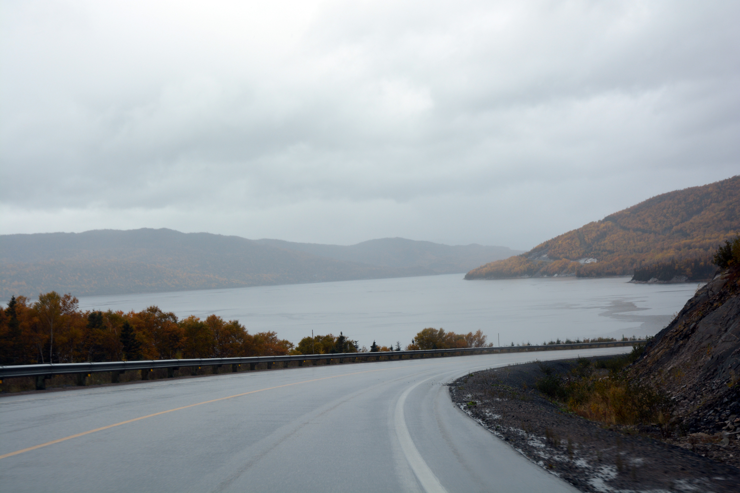
Our decision to travel around the Atlantic provinces in mid-October proved correct. The forests of birch and larch were in their full Fall colours of yellow and gold - it was quite spectacular. The road follows the Humber River that drains Deer Lake and empties
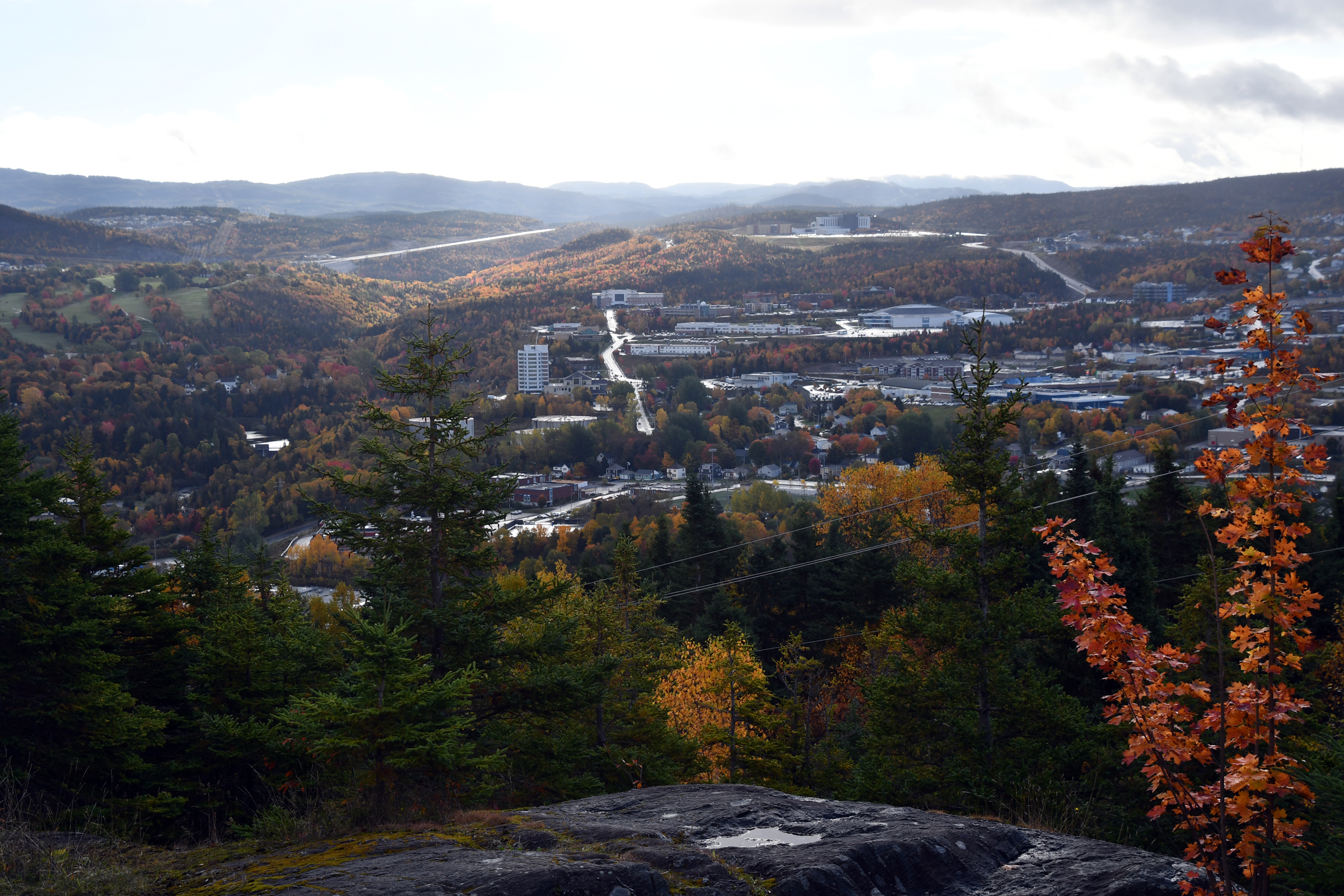
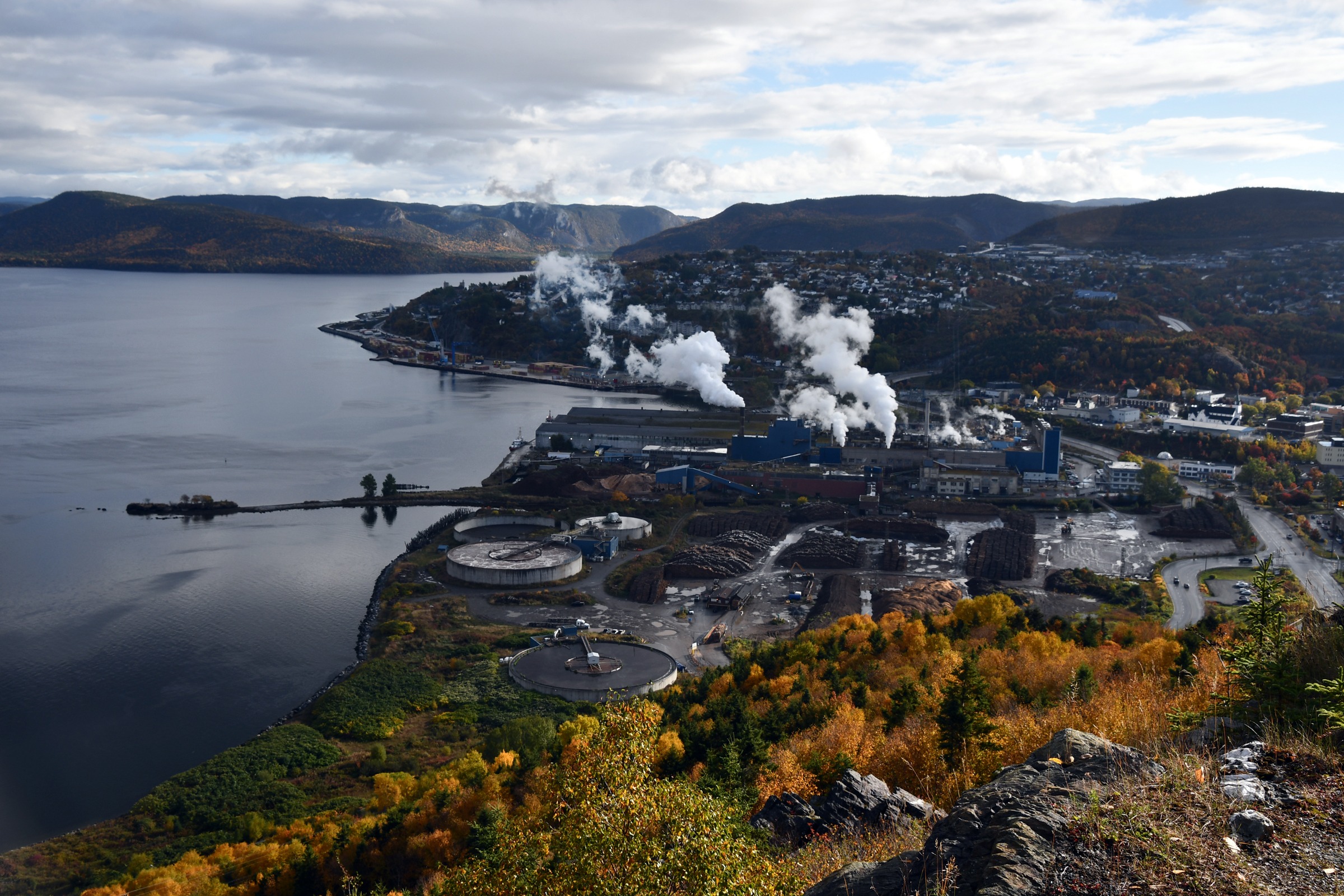
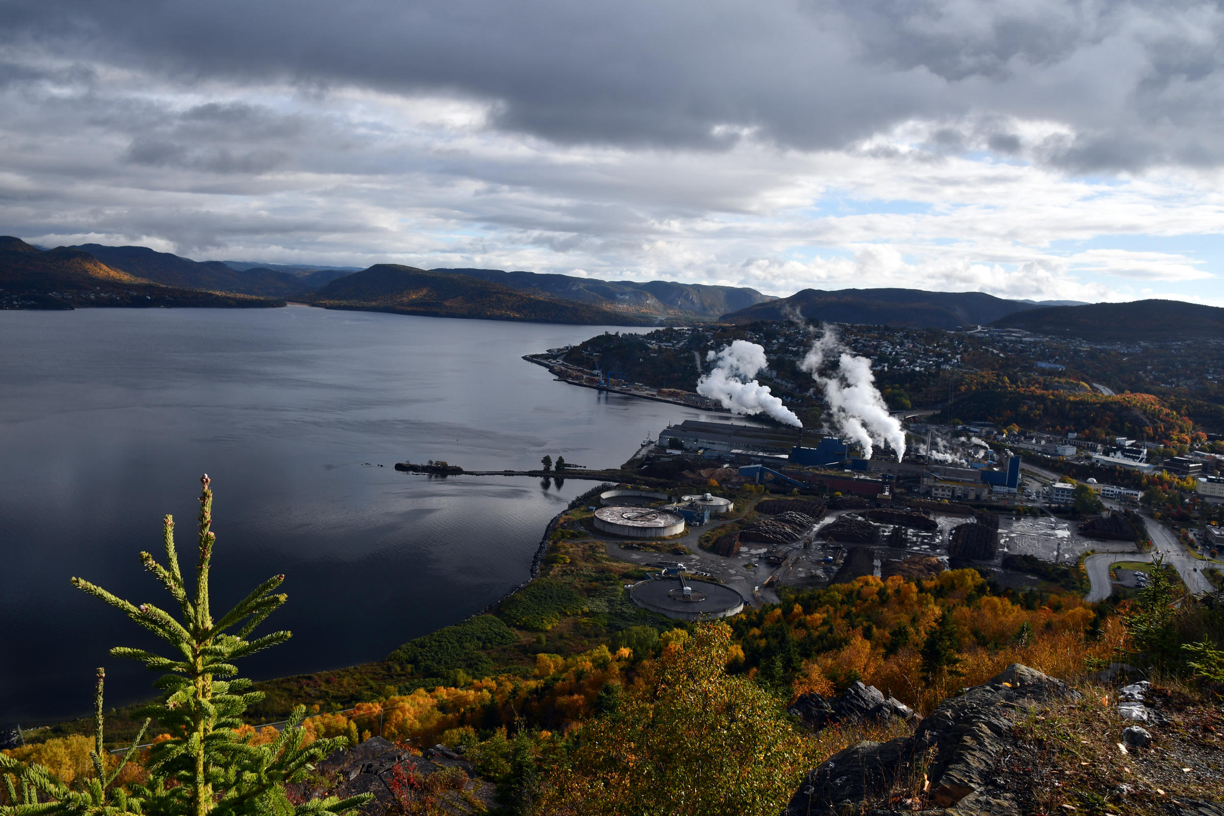
into a sound known as the Bay of Islands. We soon arrived at Corner Book, a port and industrial town based around the pulp mill. What we were after was a small park and view point that overlooked the town.
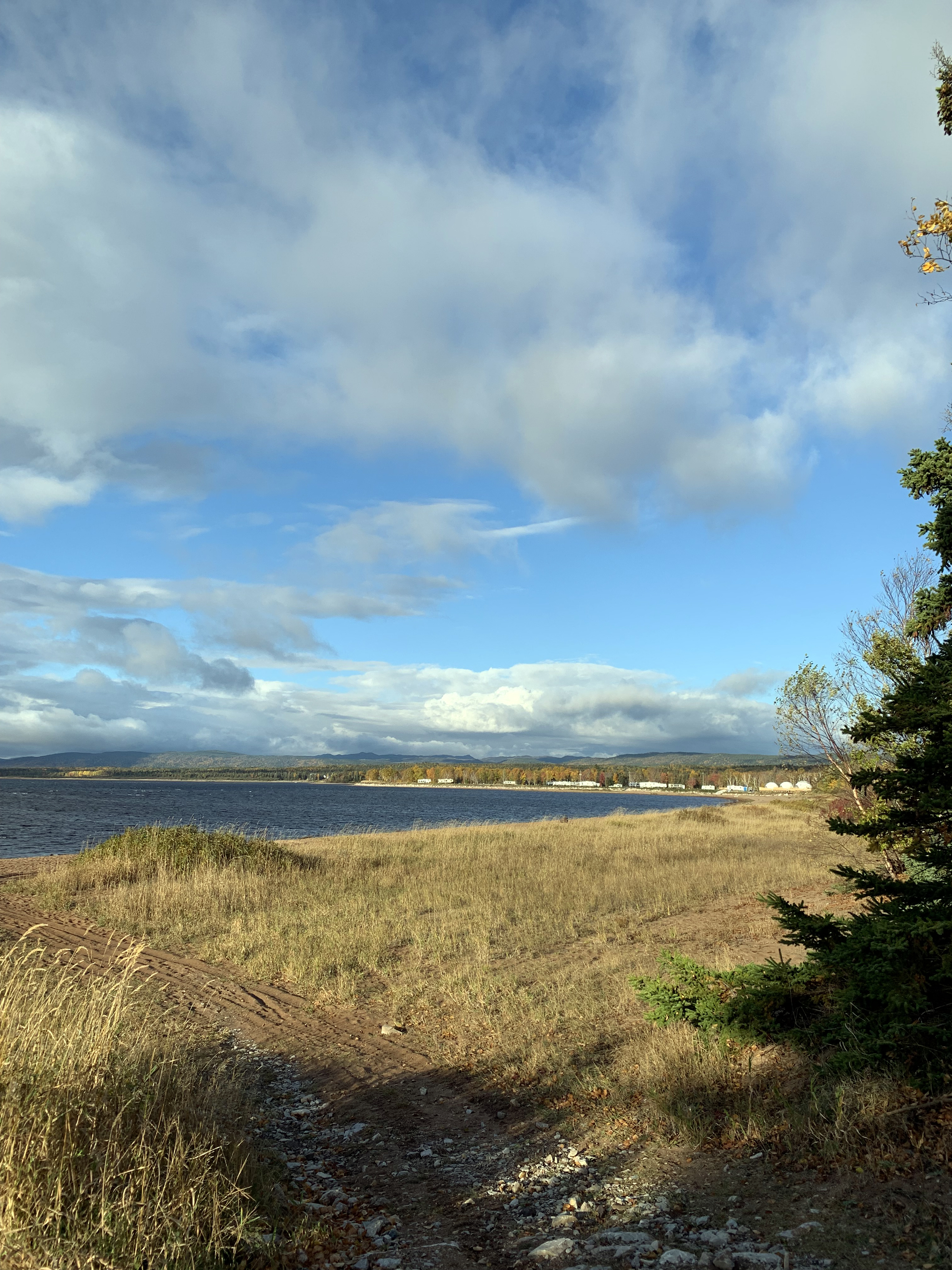
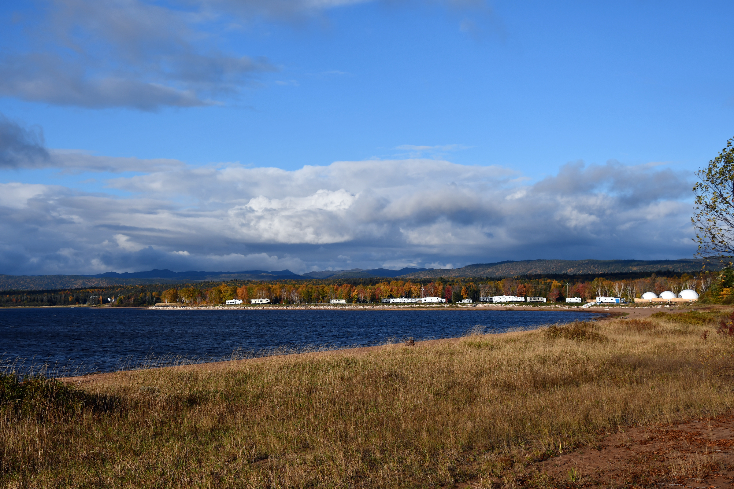
| Looking out over Deer Lake |
|
Deer Lake |
|
|
|
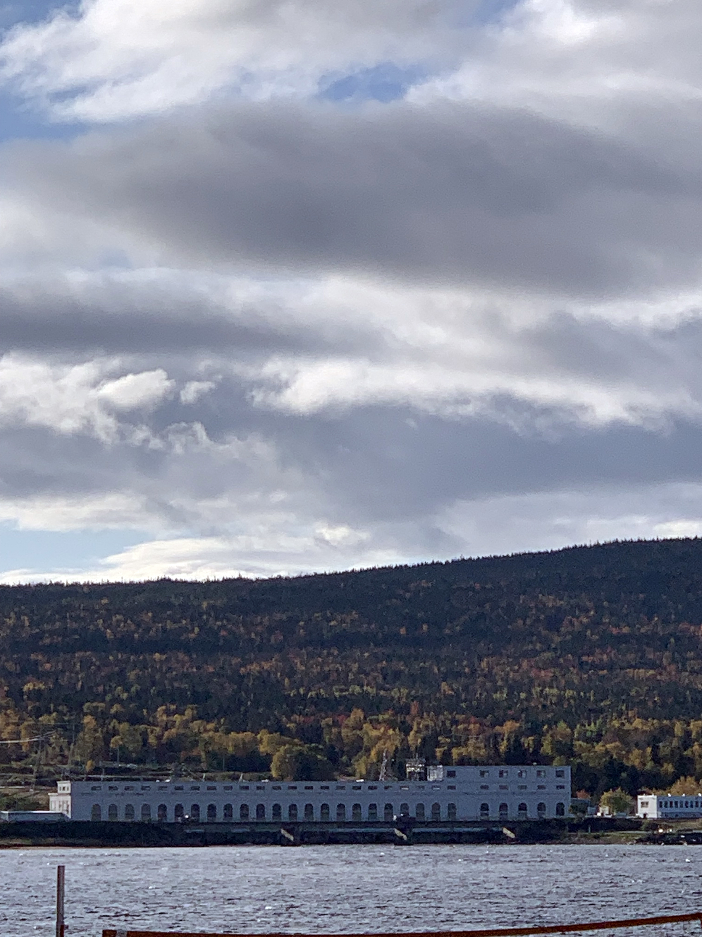
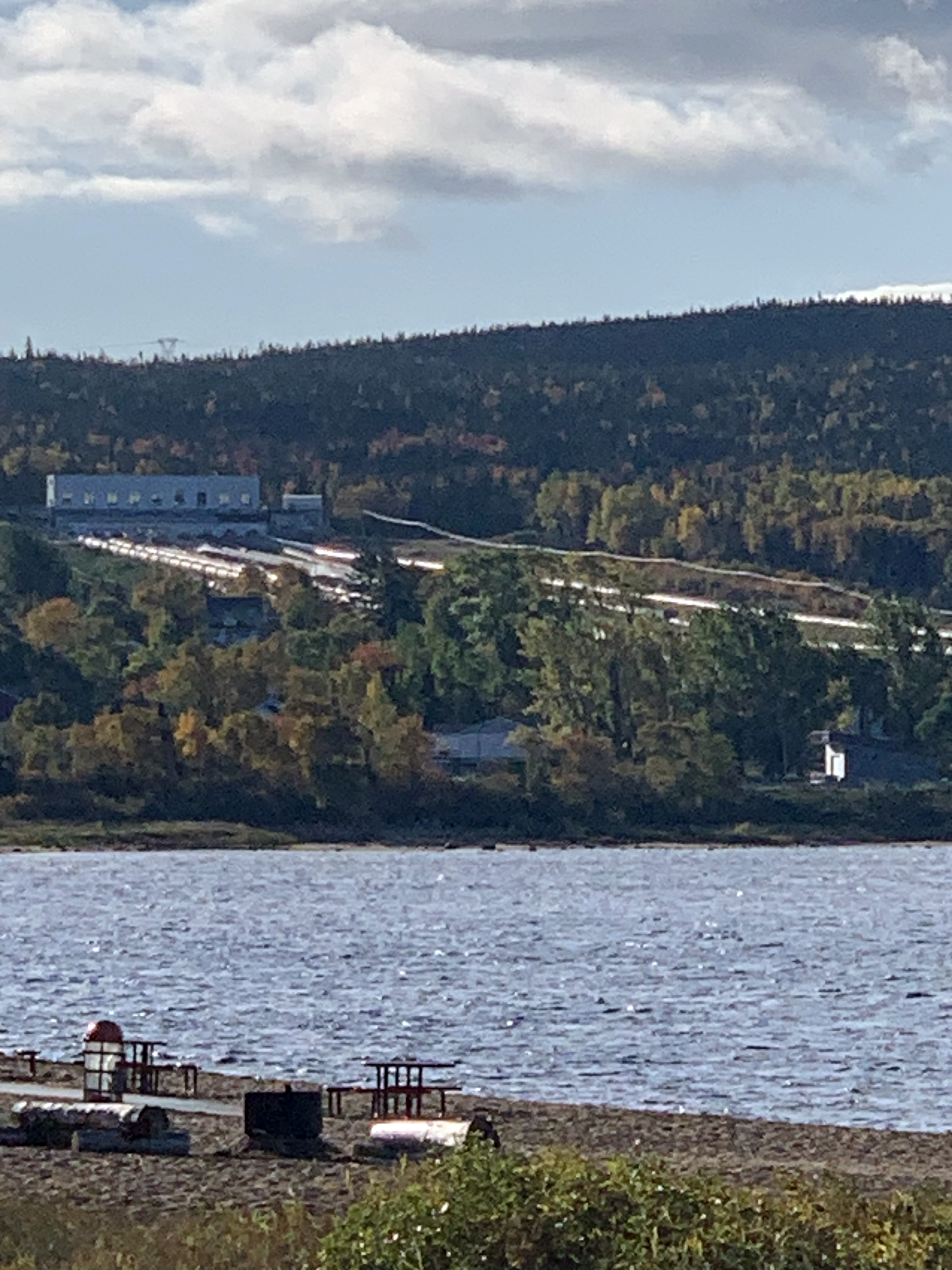
| Power Station on the Humber River |
The penstocks |
|
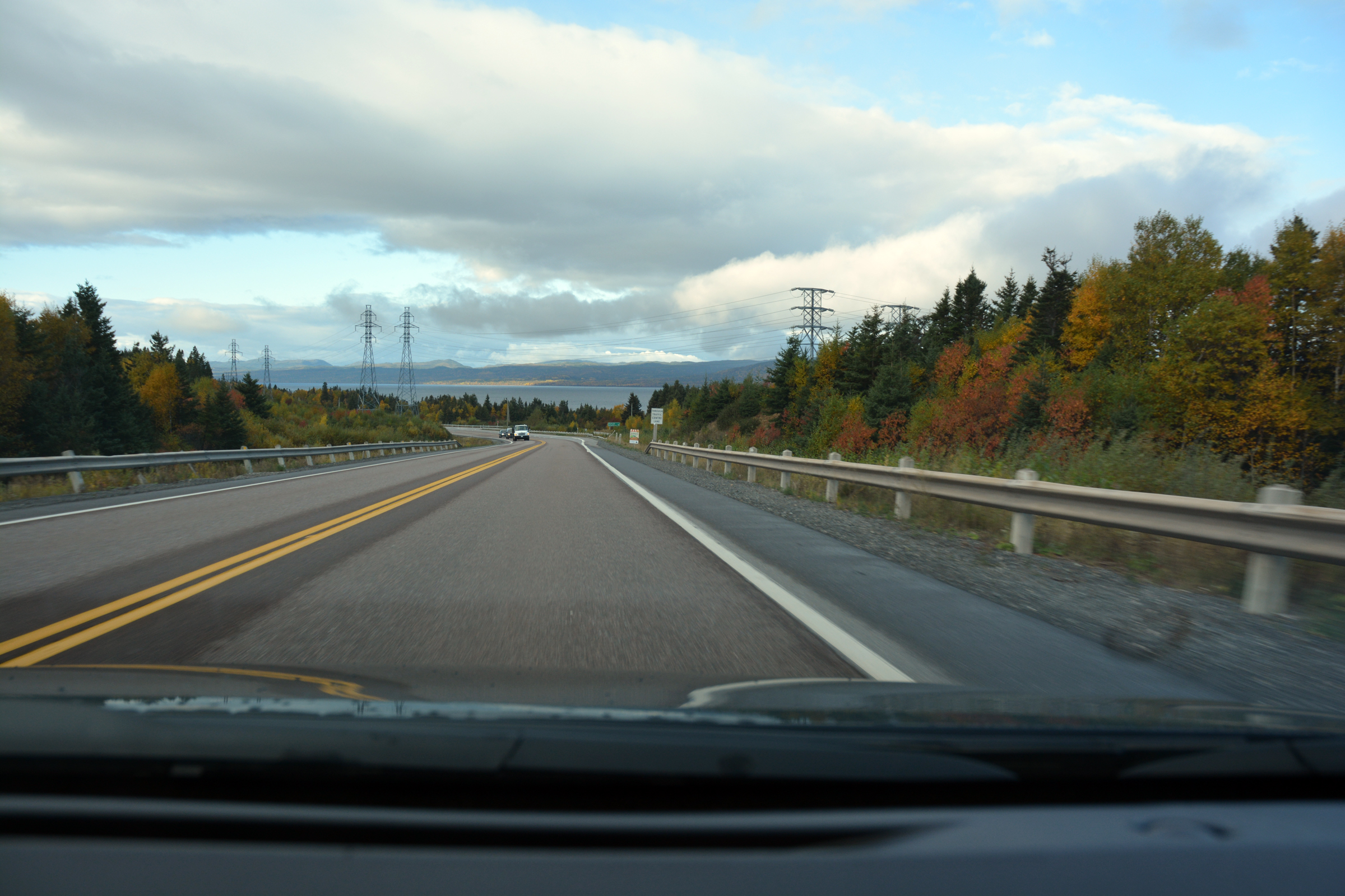
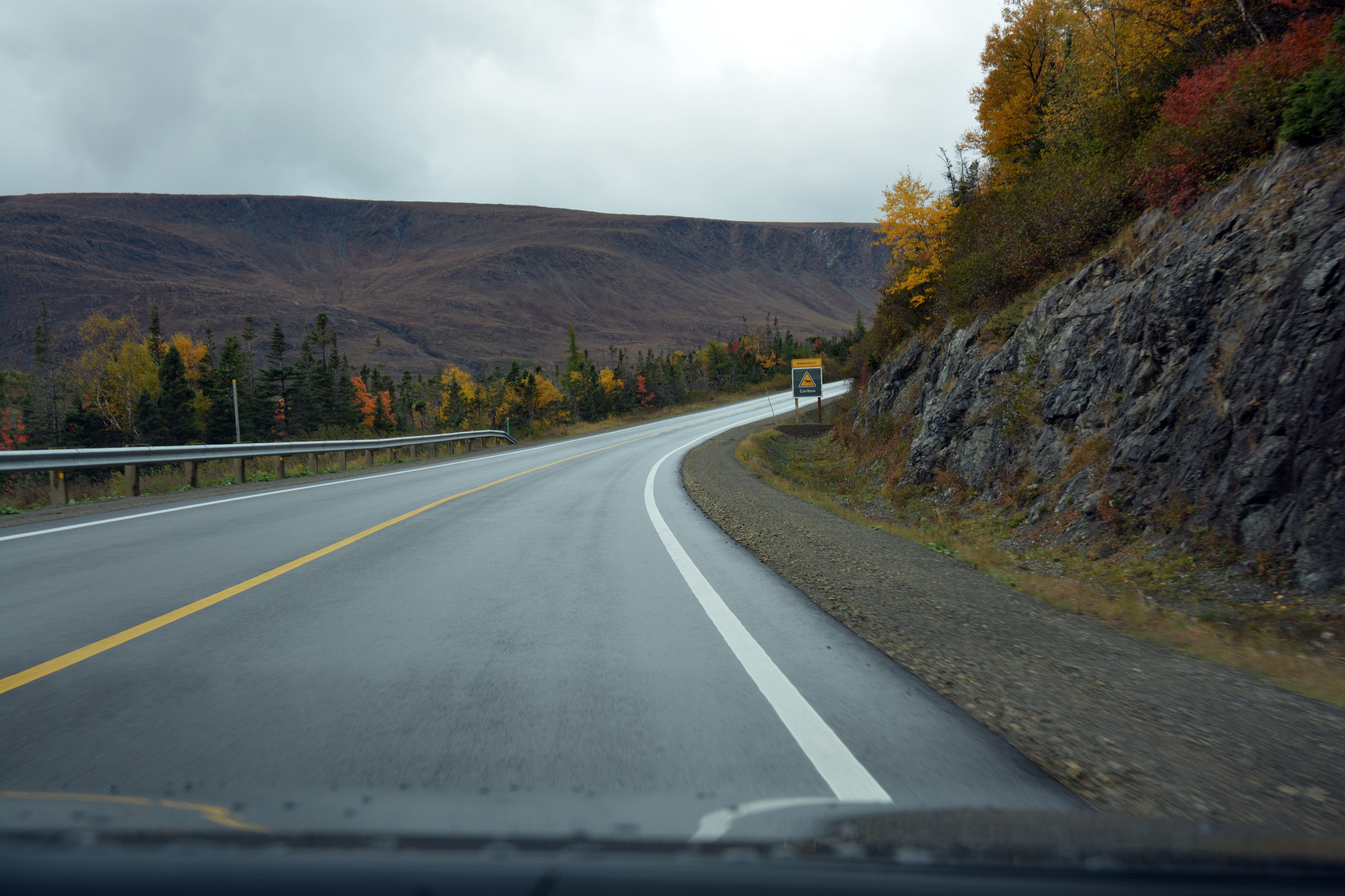
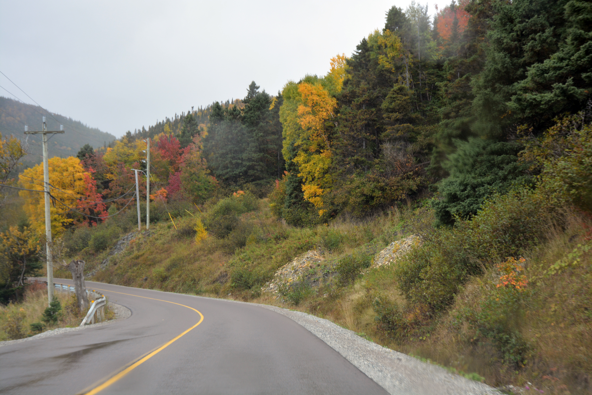
| Heading south on the Trans-Canada Highway |
|
|
|
|
|
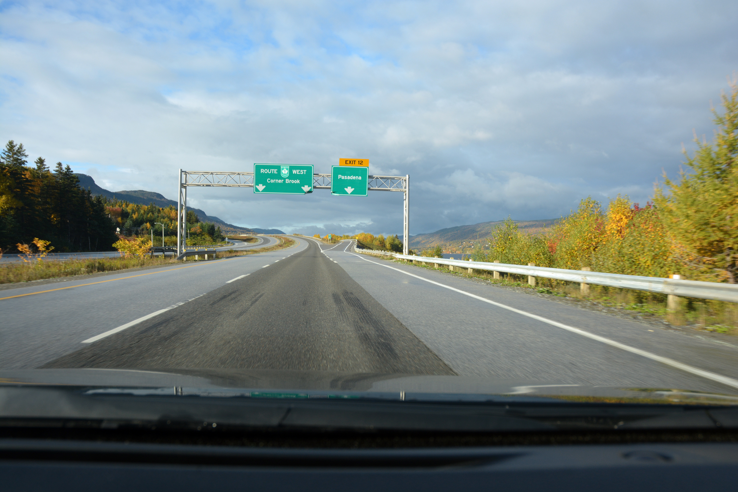
| Exit 12 to Pasadena (Newfoundland) |
|
|
|
. |
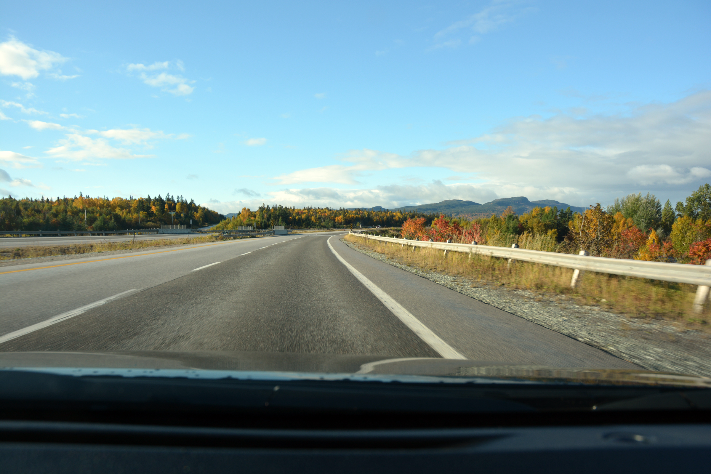
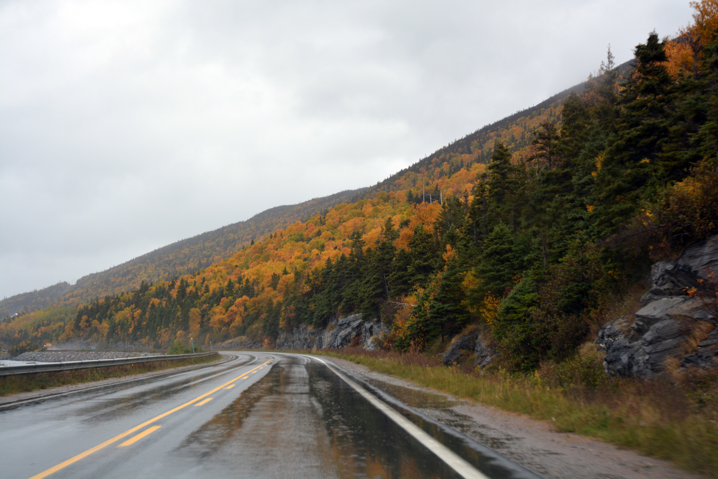
Heading into the gorge of the Humber River |
|
|
|
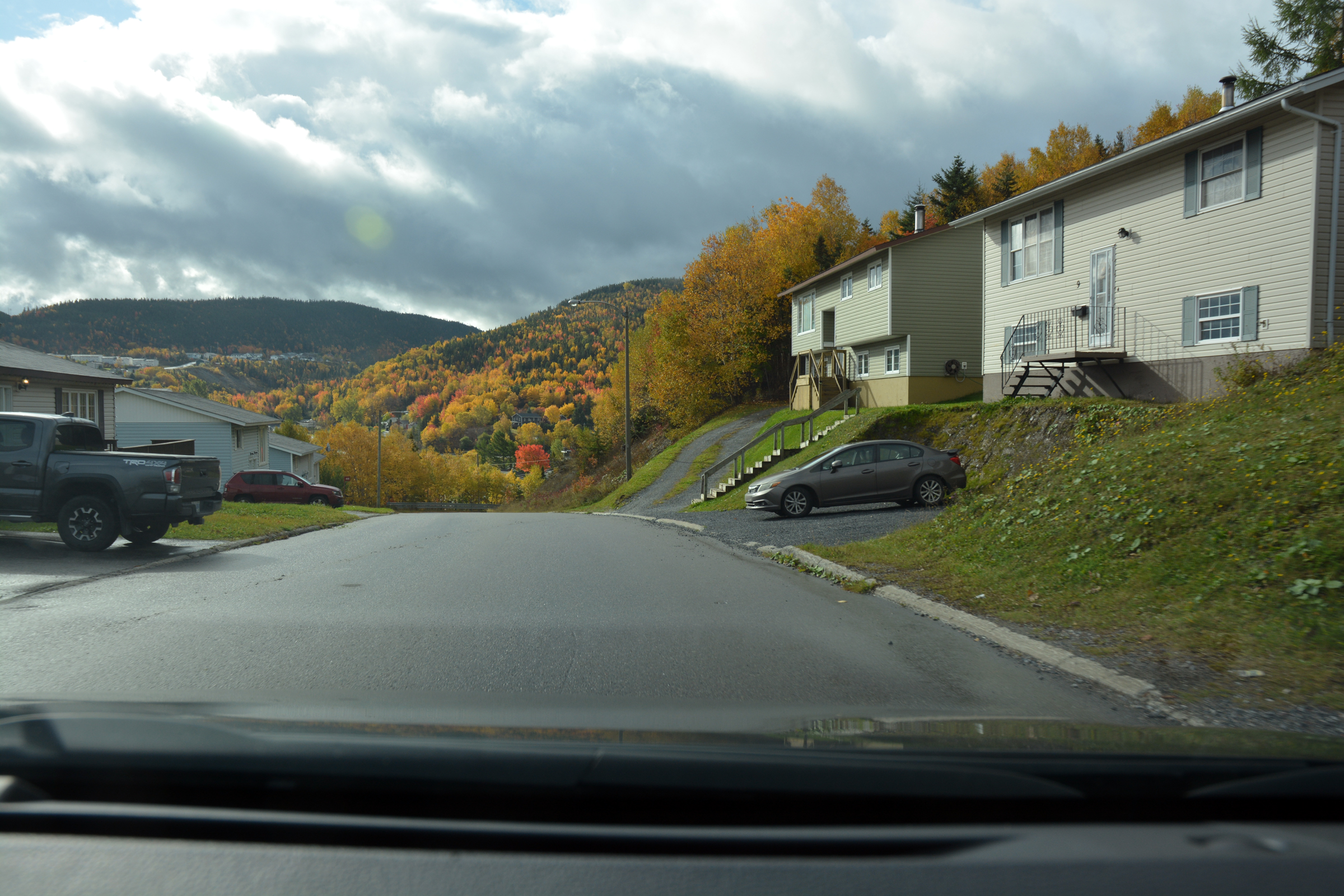
| Dropping down the steep hill into Corner Brook |
Then climbing west towards the viewing point |
|
|
|
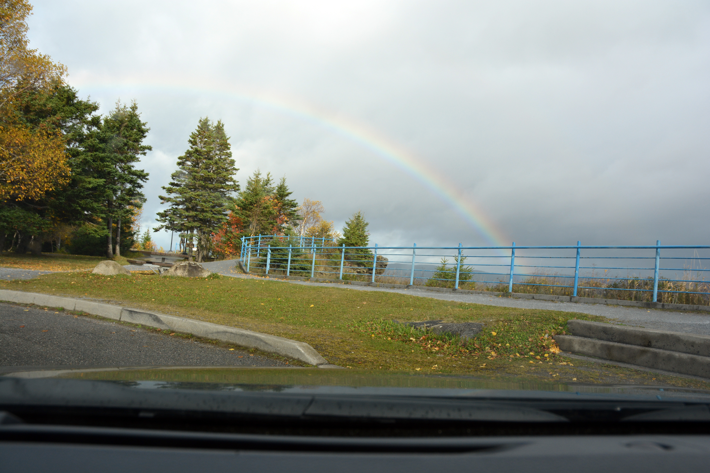
And into the carpark, complete with rainbow |
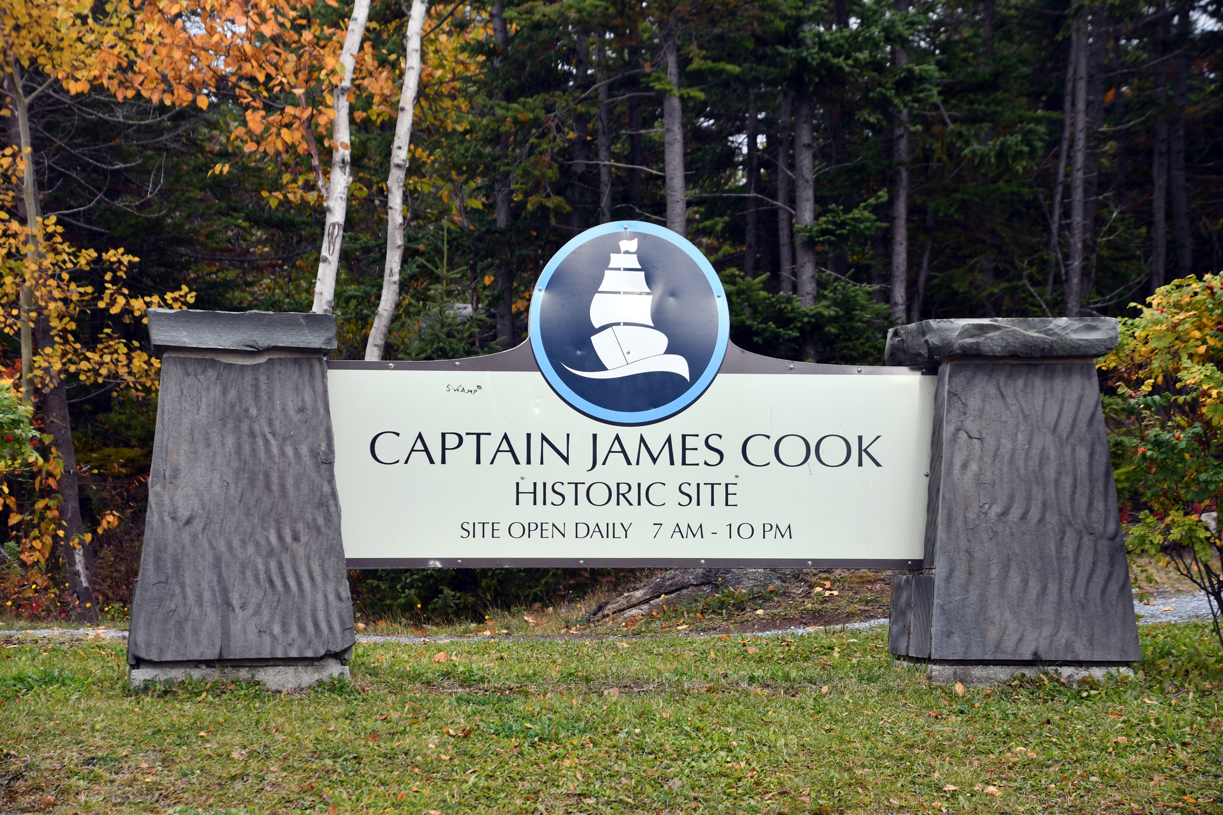
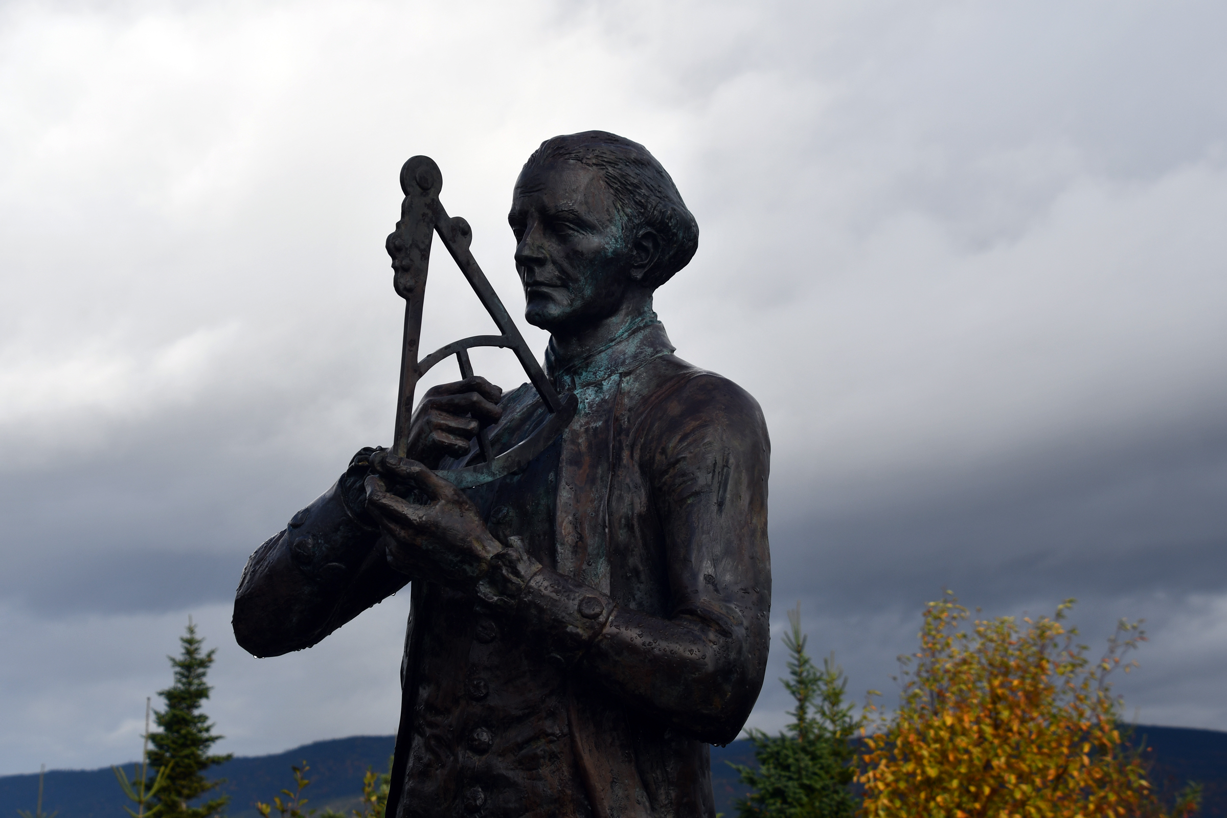
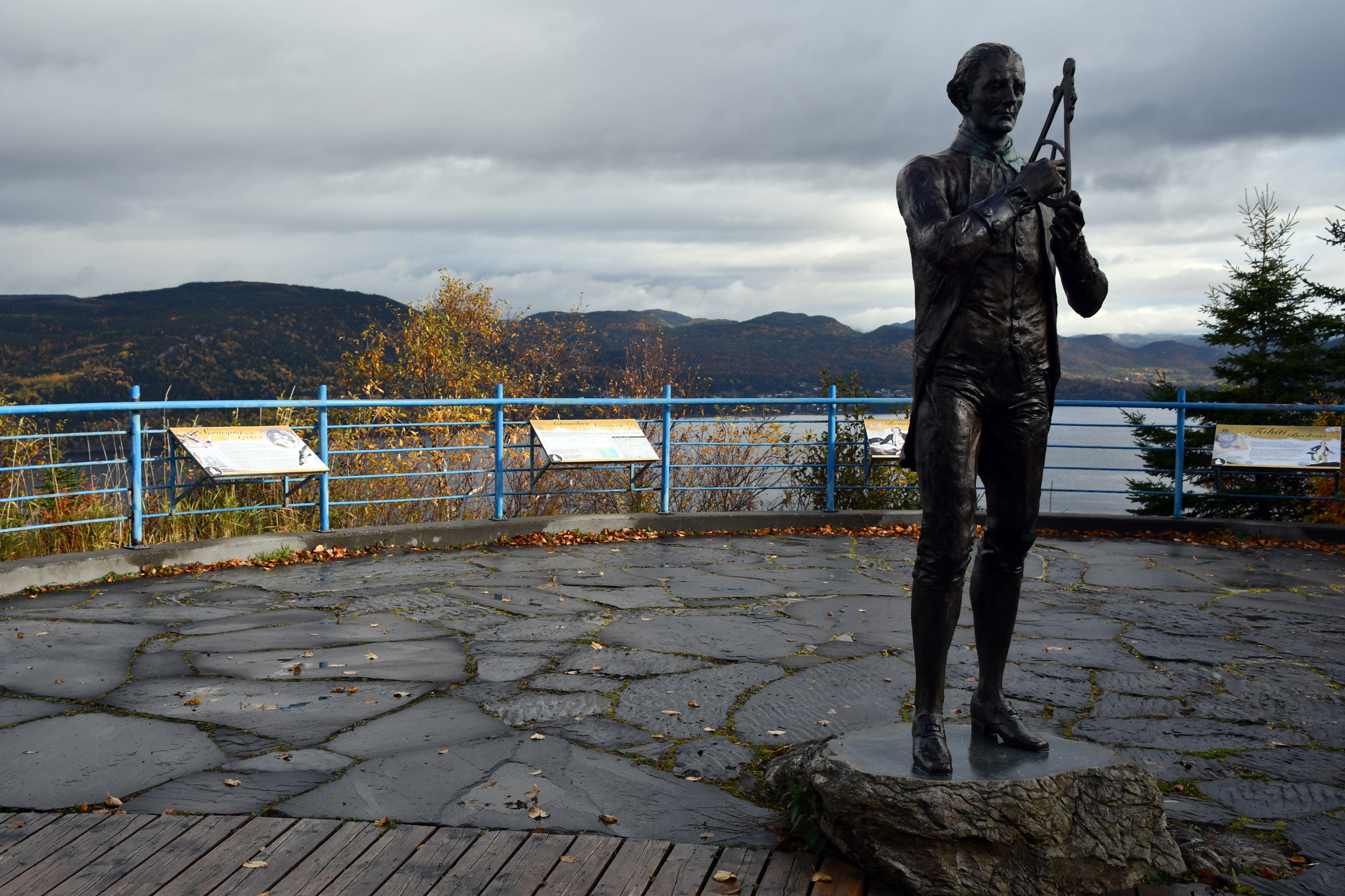
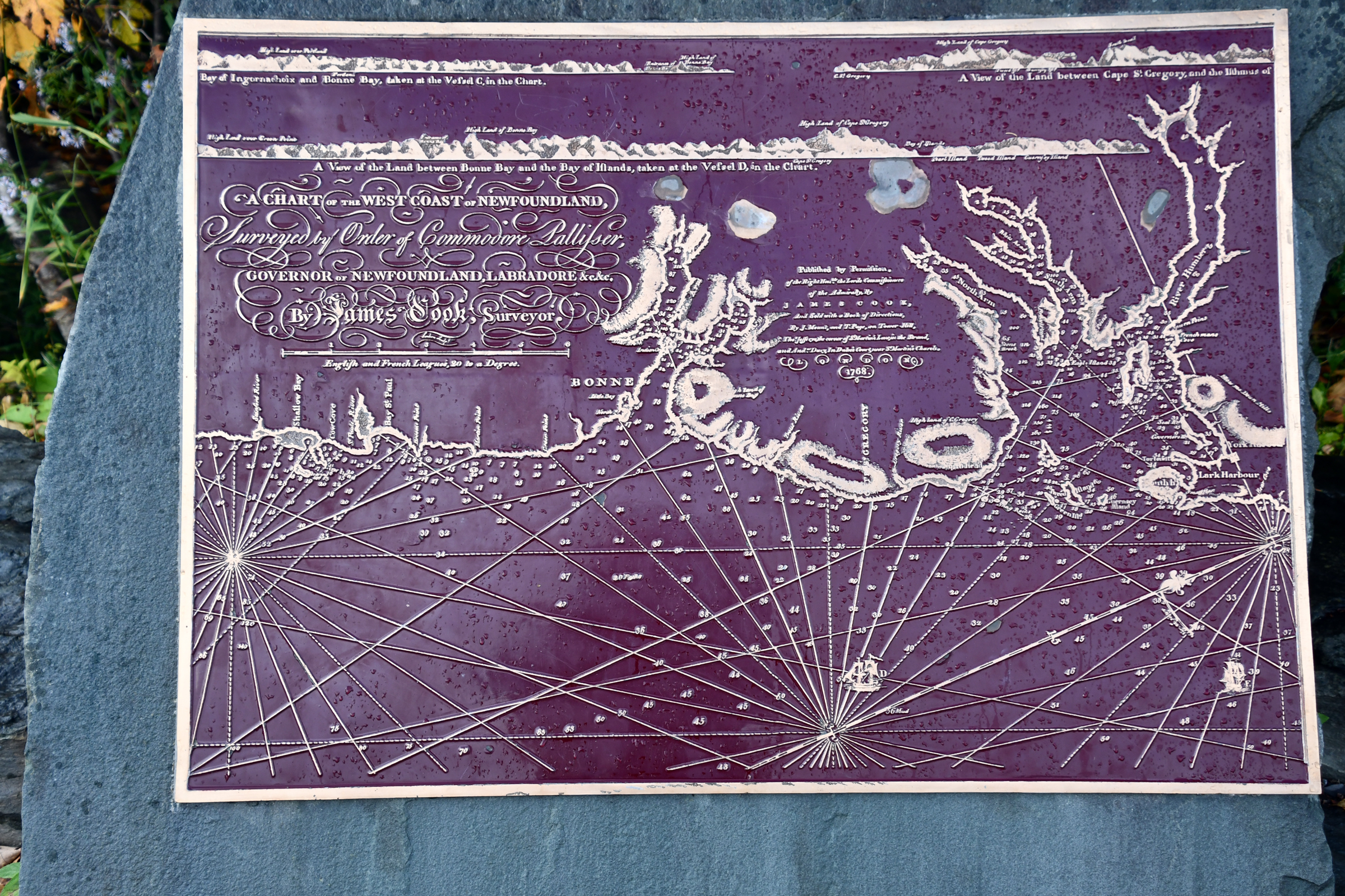
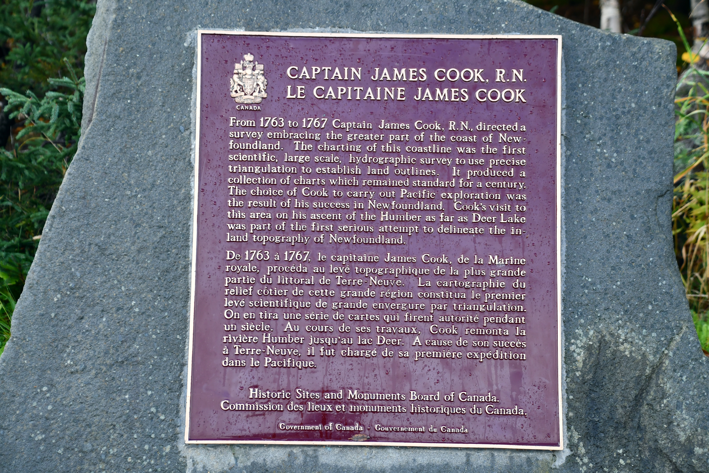
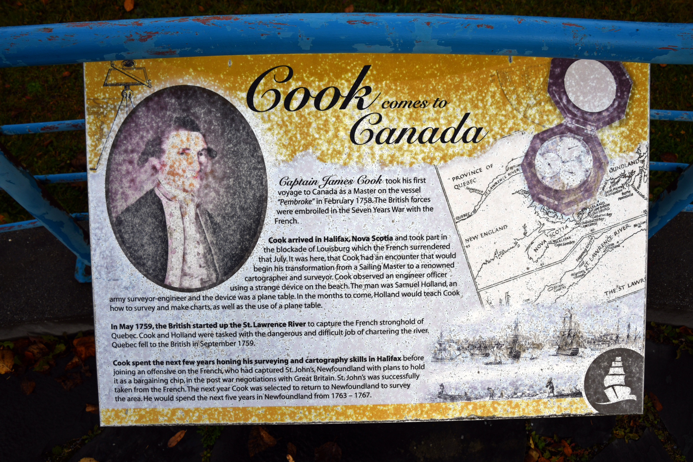
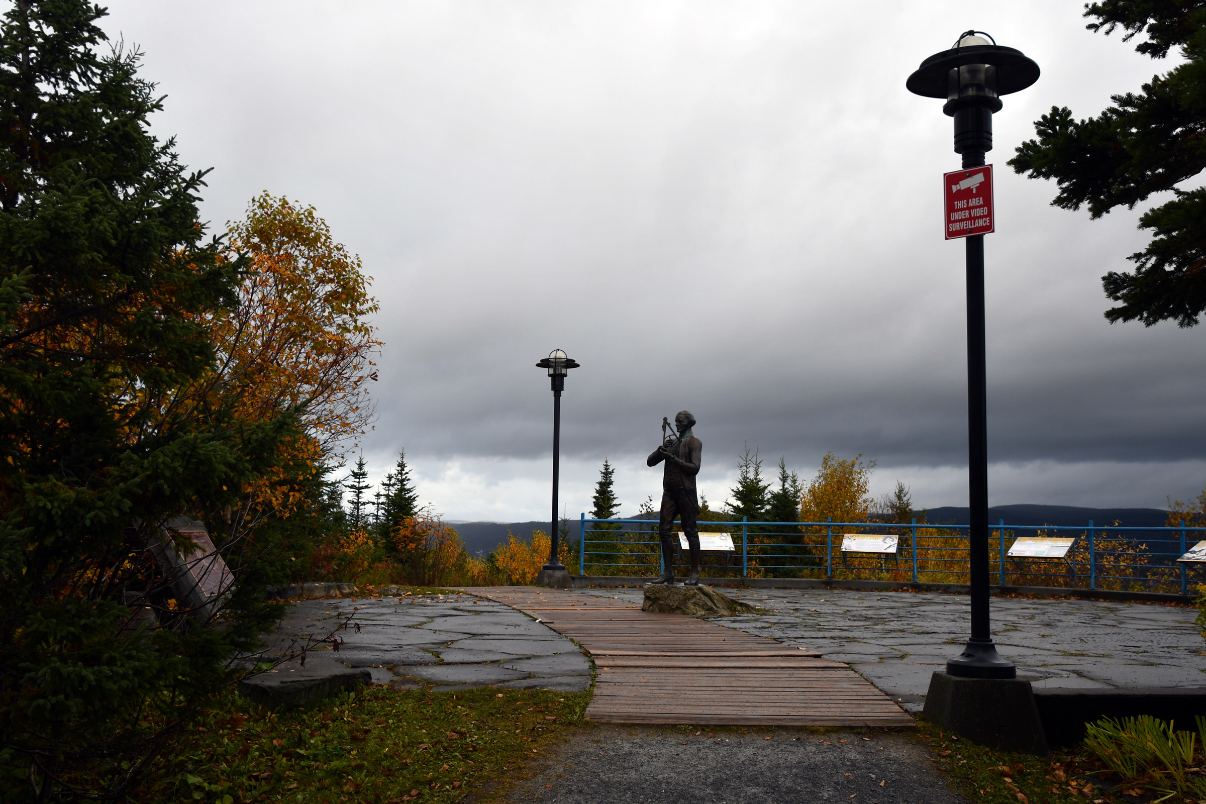
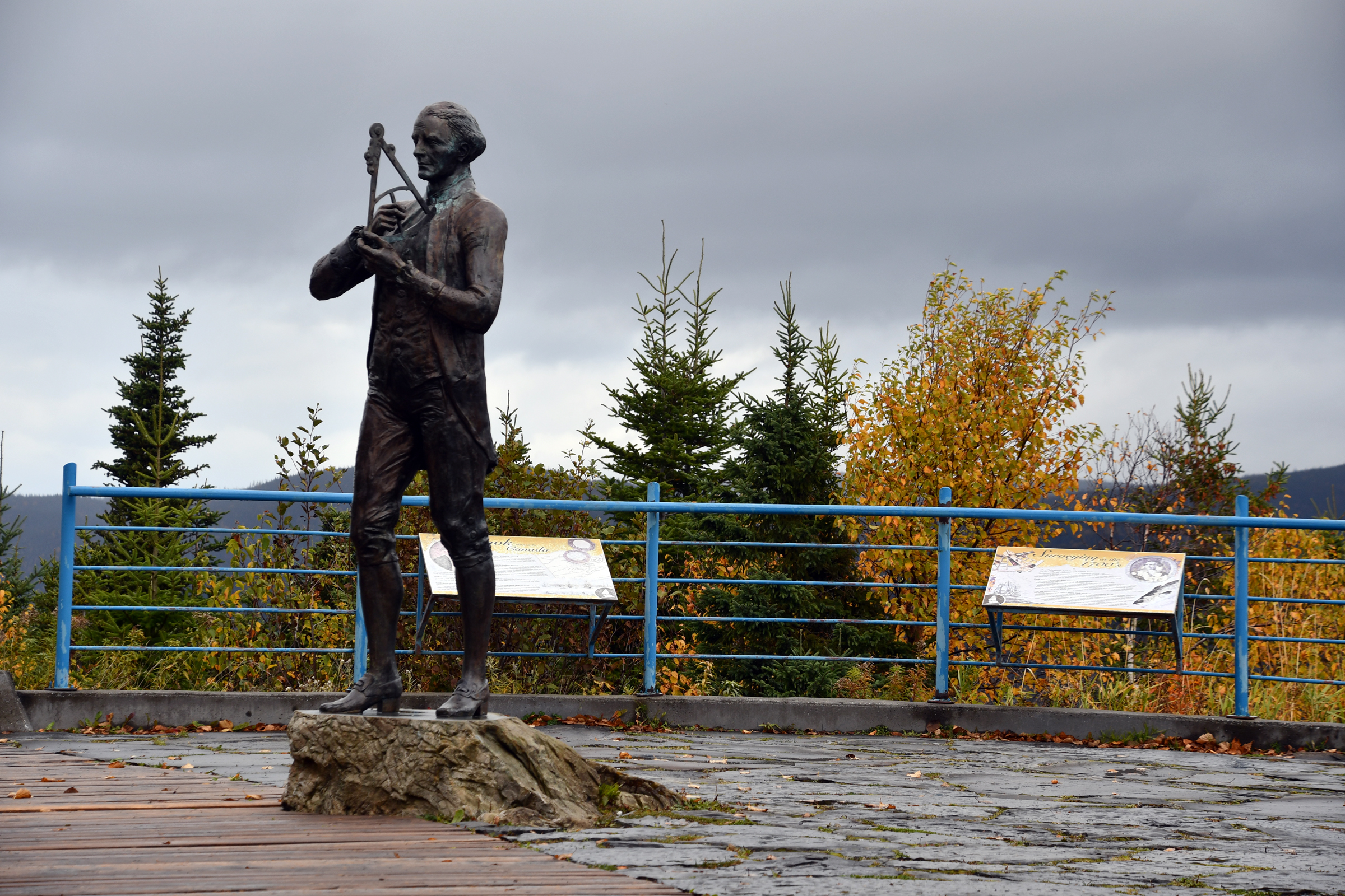
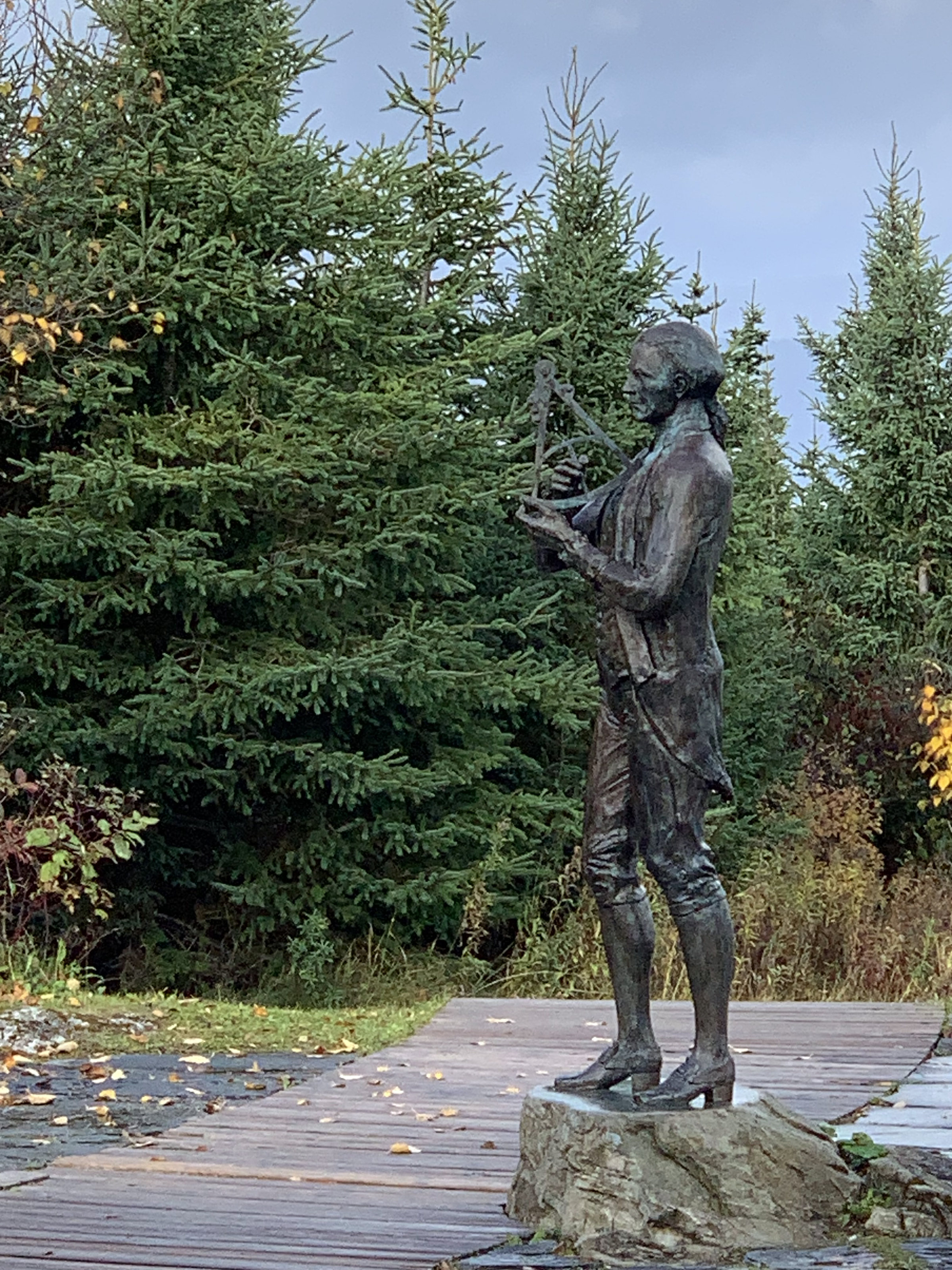
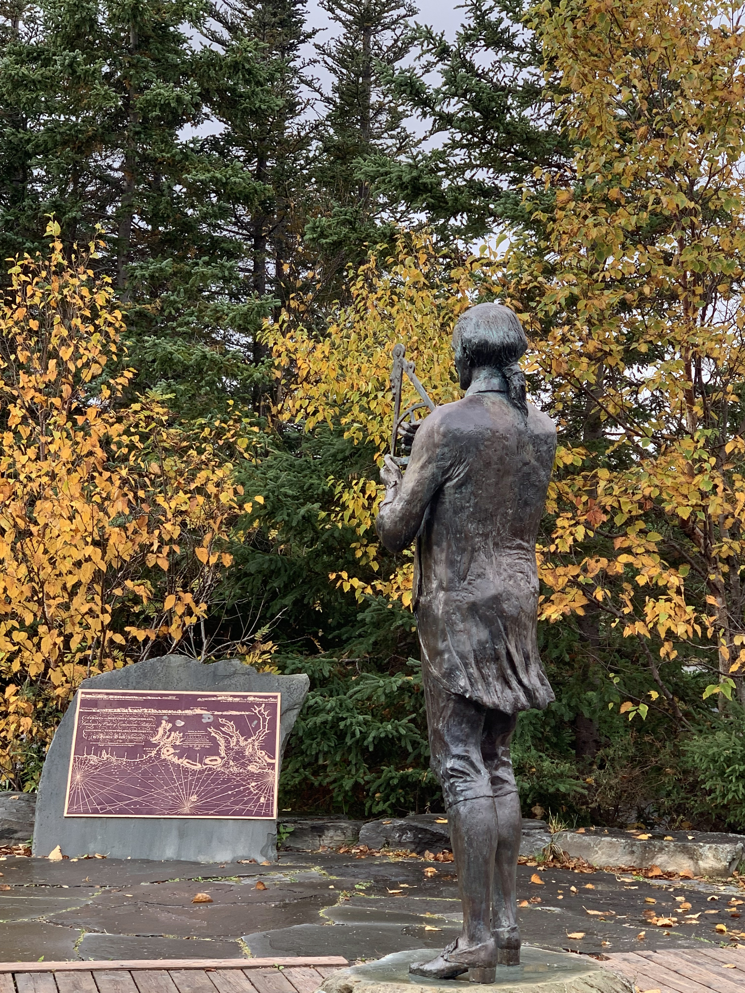
The James Cook Monument at Corner Brook
Why is there a monument to James Cook at Corner Brook? After all he was the man who mapped the southern lands of New Zealand and Australia and the first person to document a crossing of the Antarctic Circle (66° 30' south).
But his reputation as an explorer and map maker was forged in Canada. Between episodes of beating up the French Navy and thus securing Canada for the British Crown, he spent several years making detailed maps of the
coastline. His experience in Canada made him the ideal person to be sent south to find and map the fabled "Southern Land". Thus he found and mapped New Zealand as well as the eastern side of Australia.
|
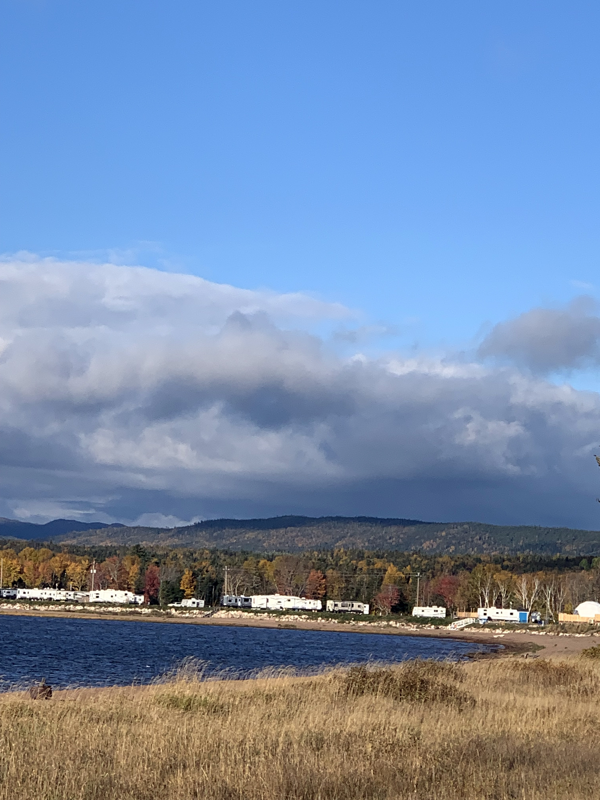
Looking over Corner Brook |
And the paper mill |
|
|
|
| Our car |
Capt. James Cook |
|
|
|
|
|
|
|
|
|
|
|
|
|
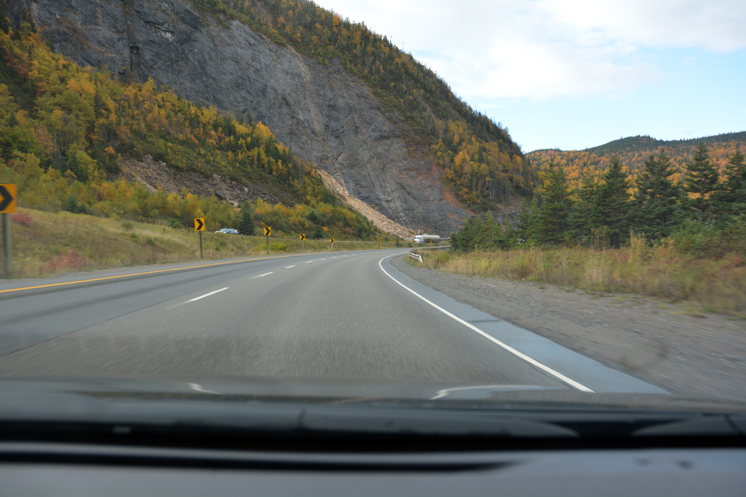
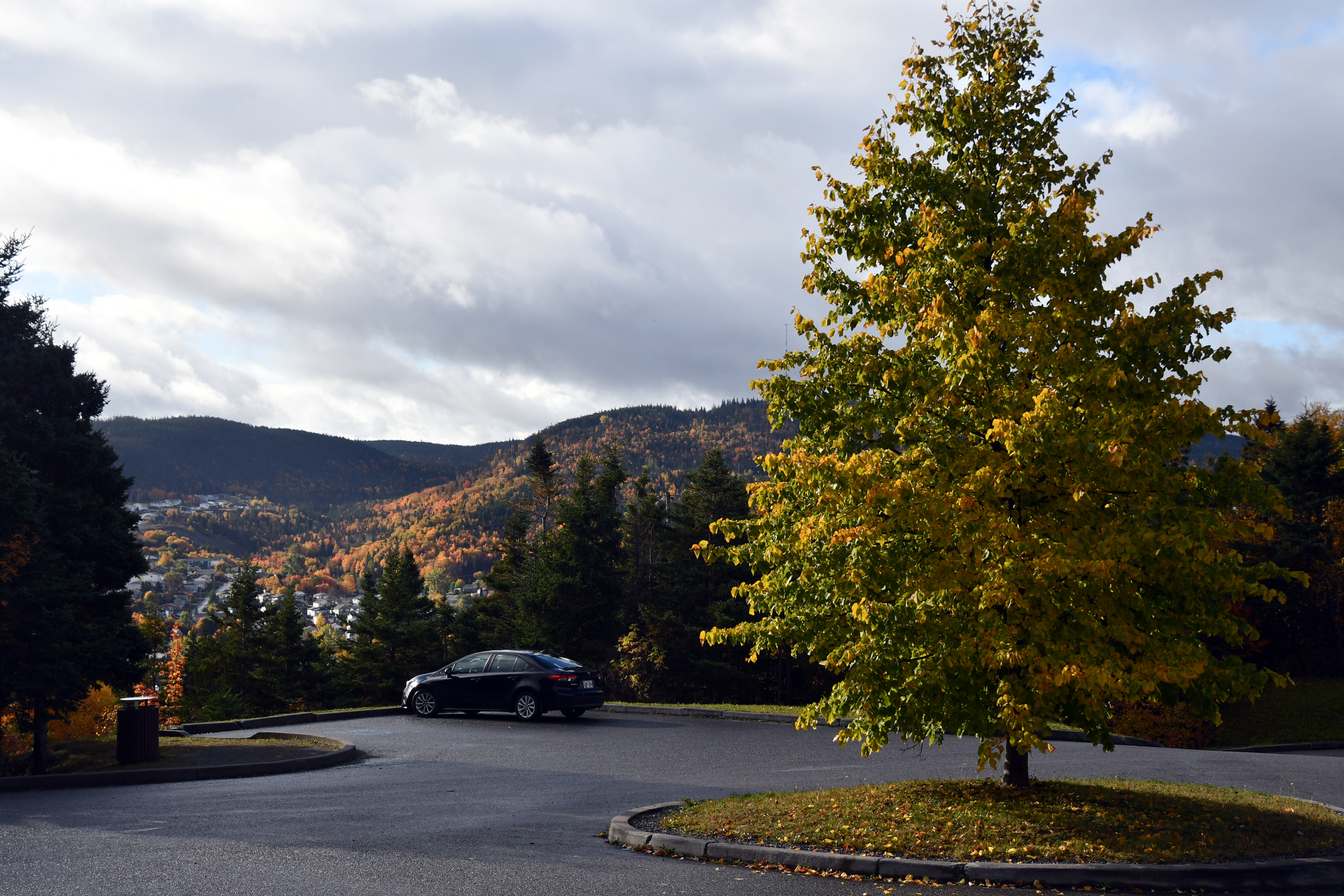
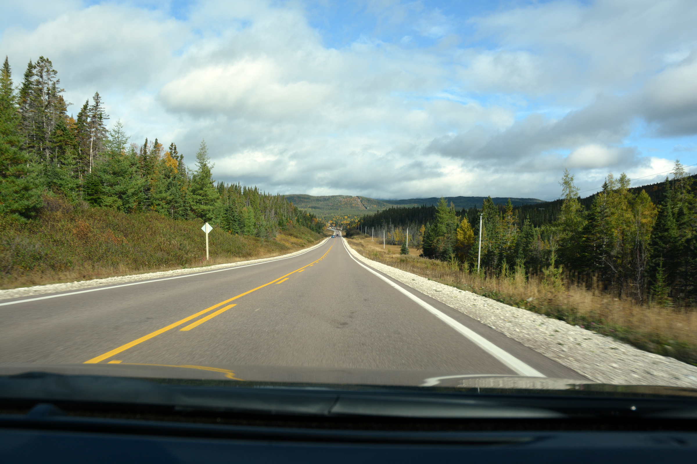
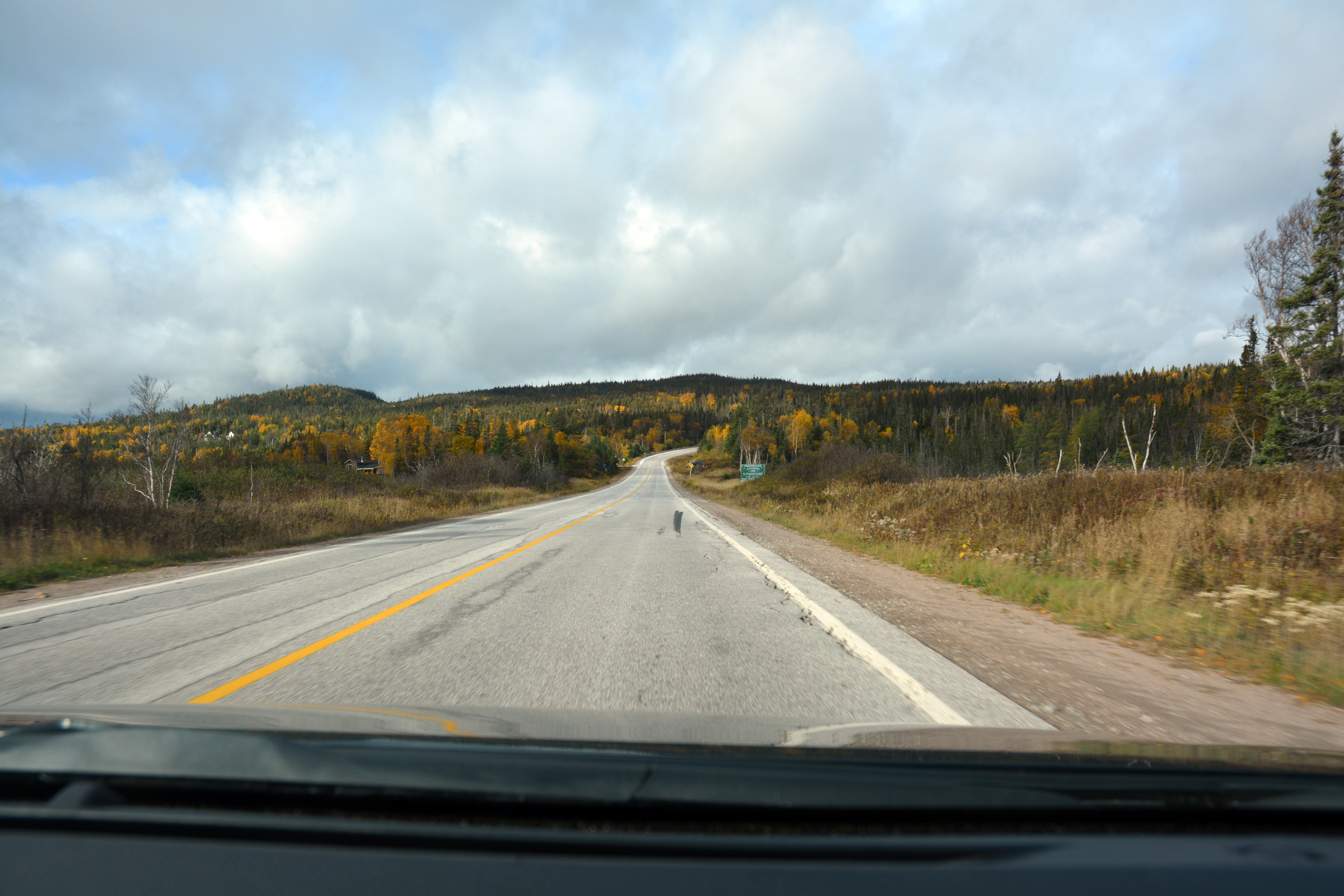
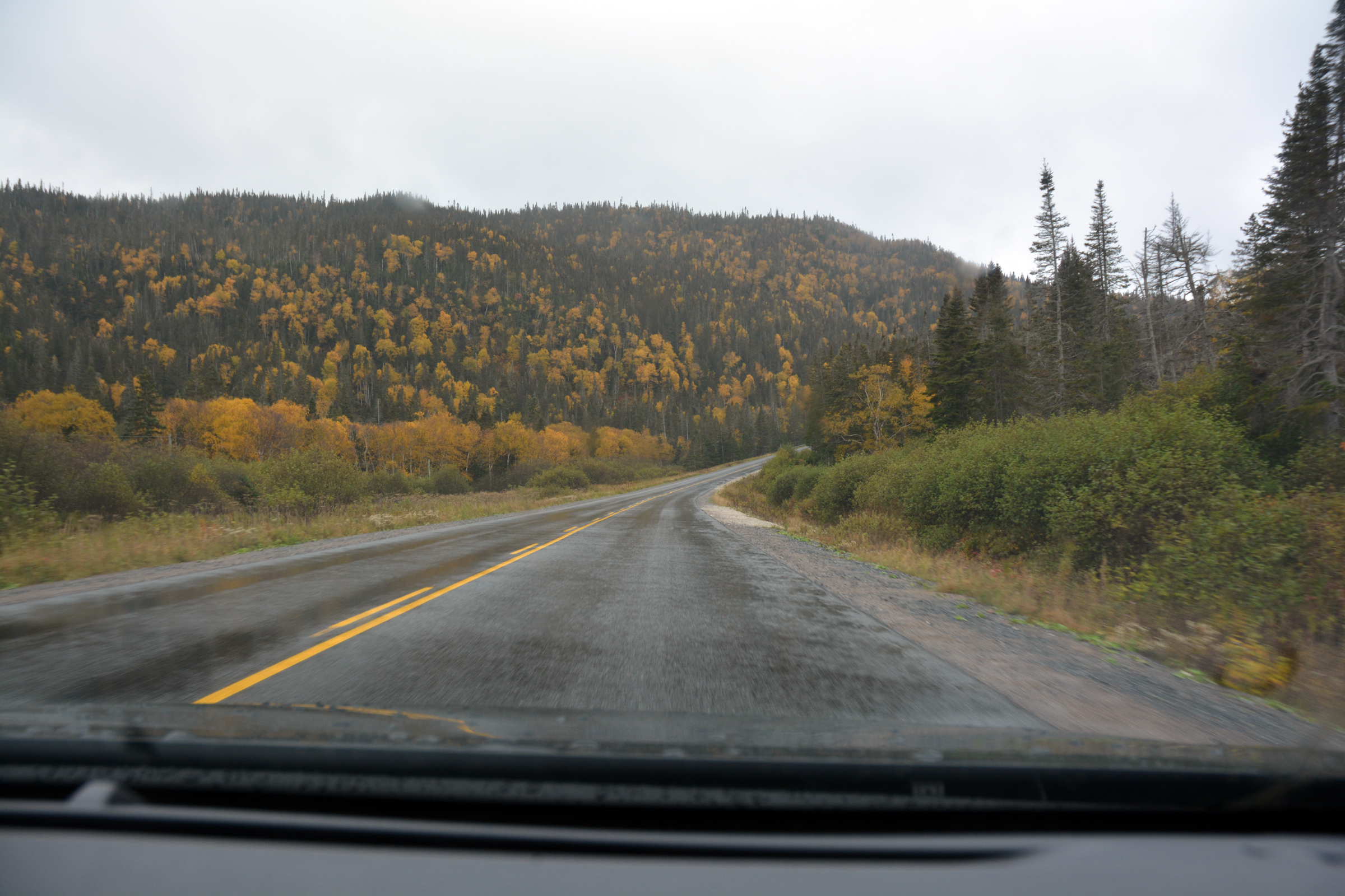
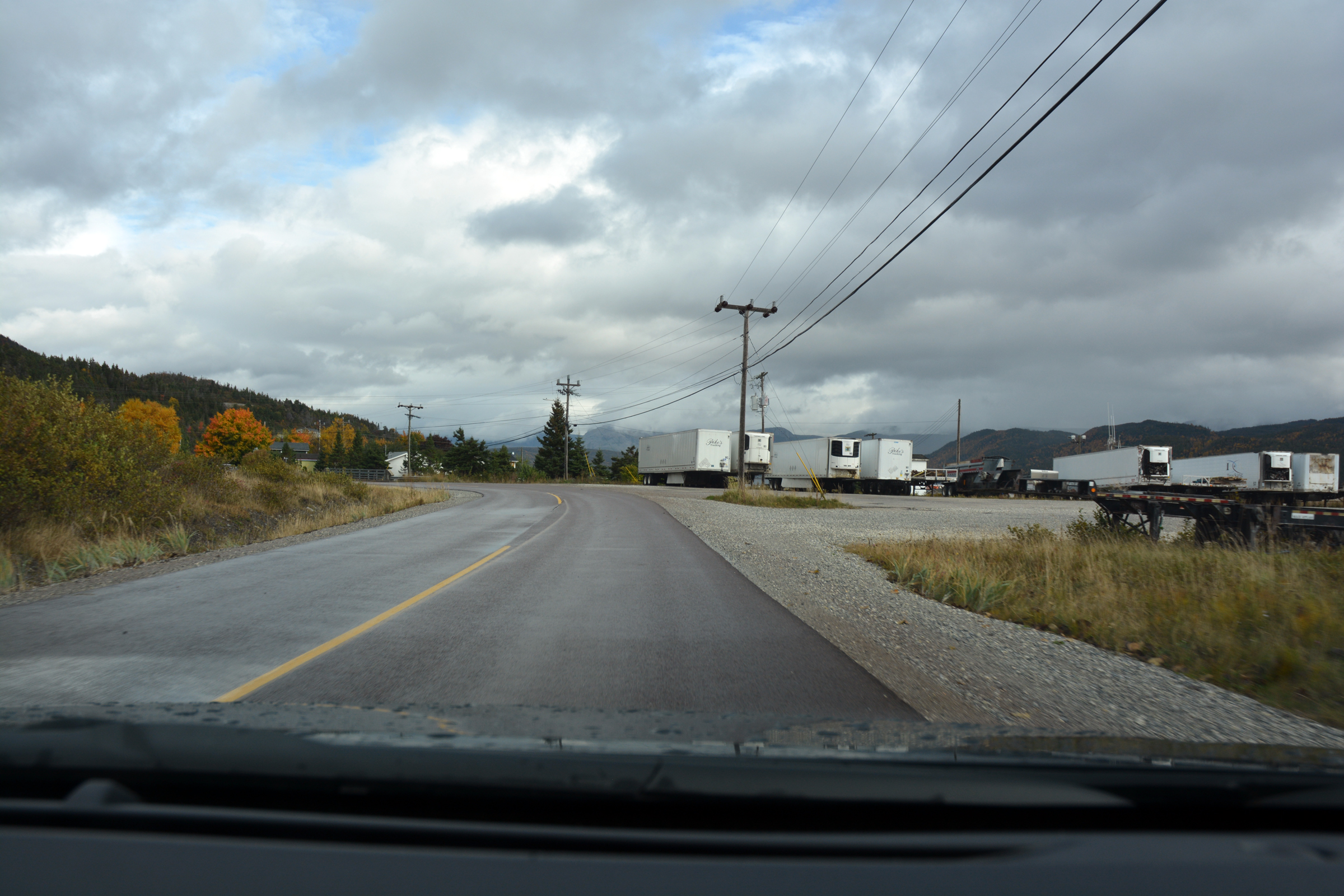
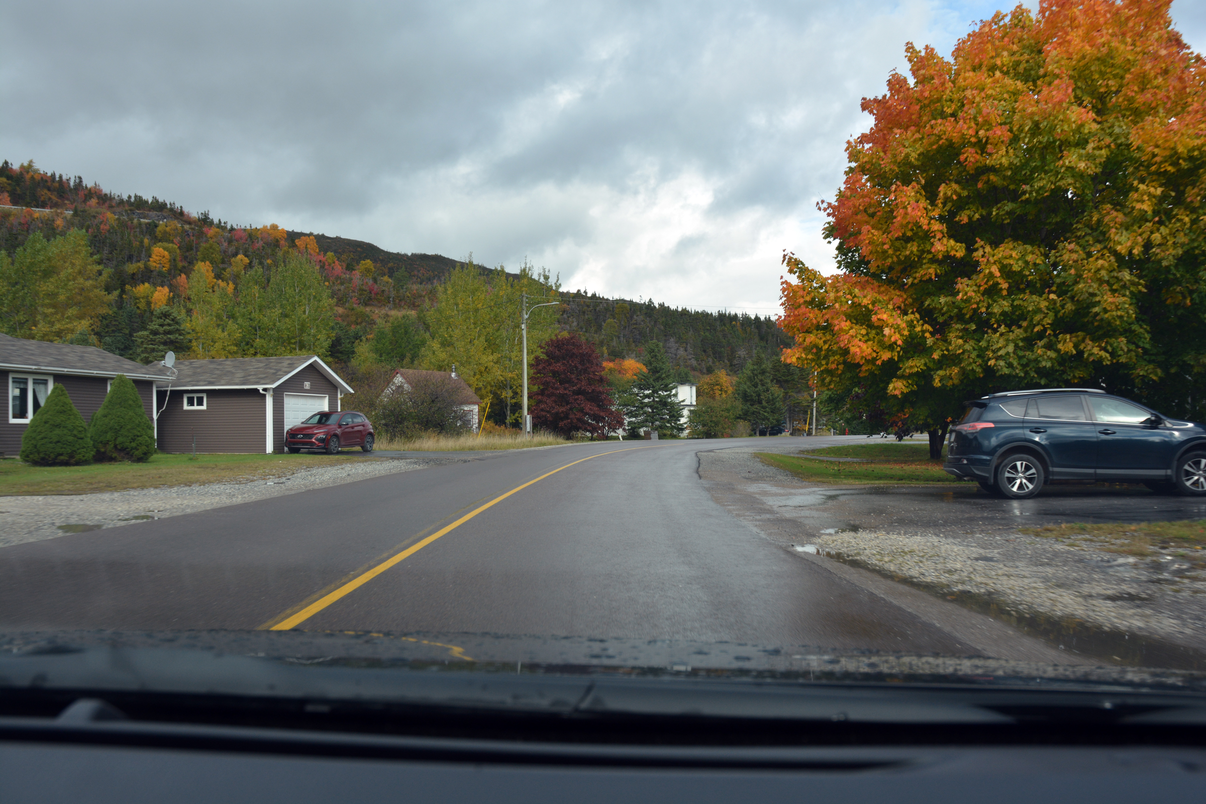
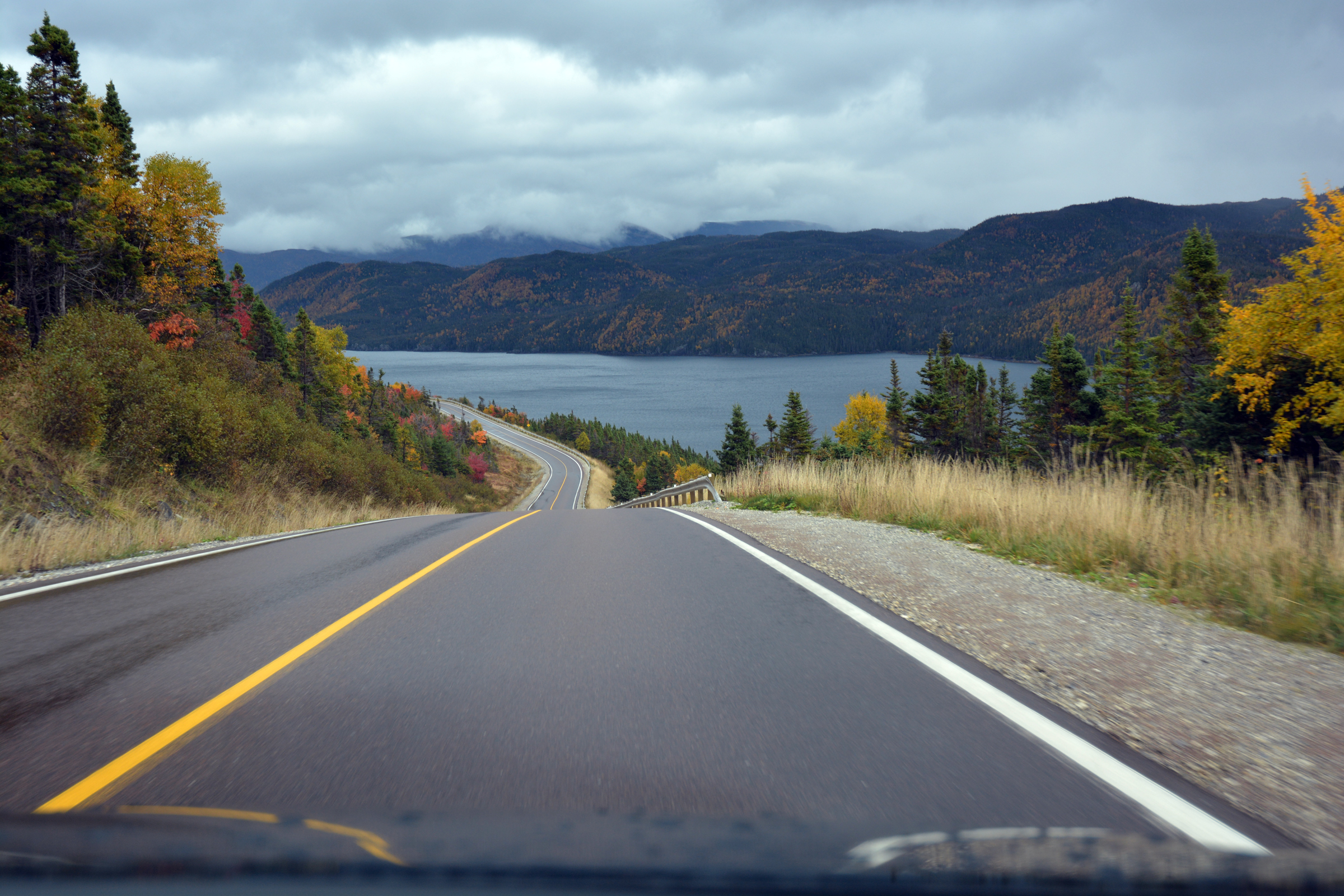
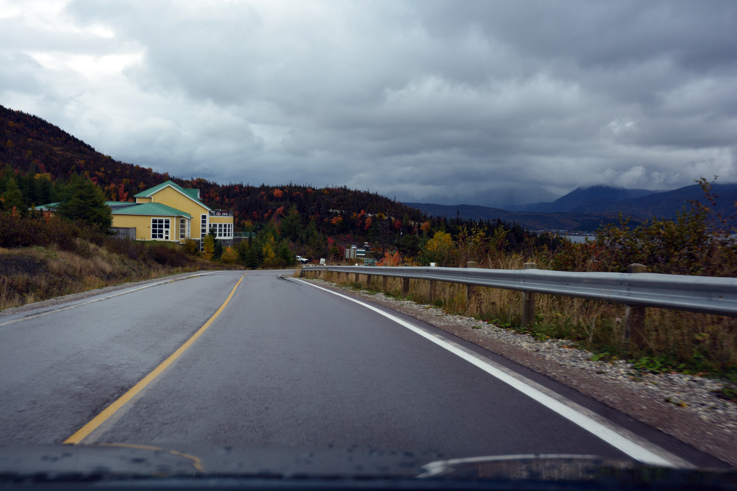
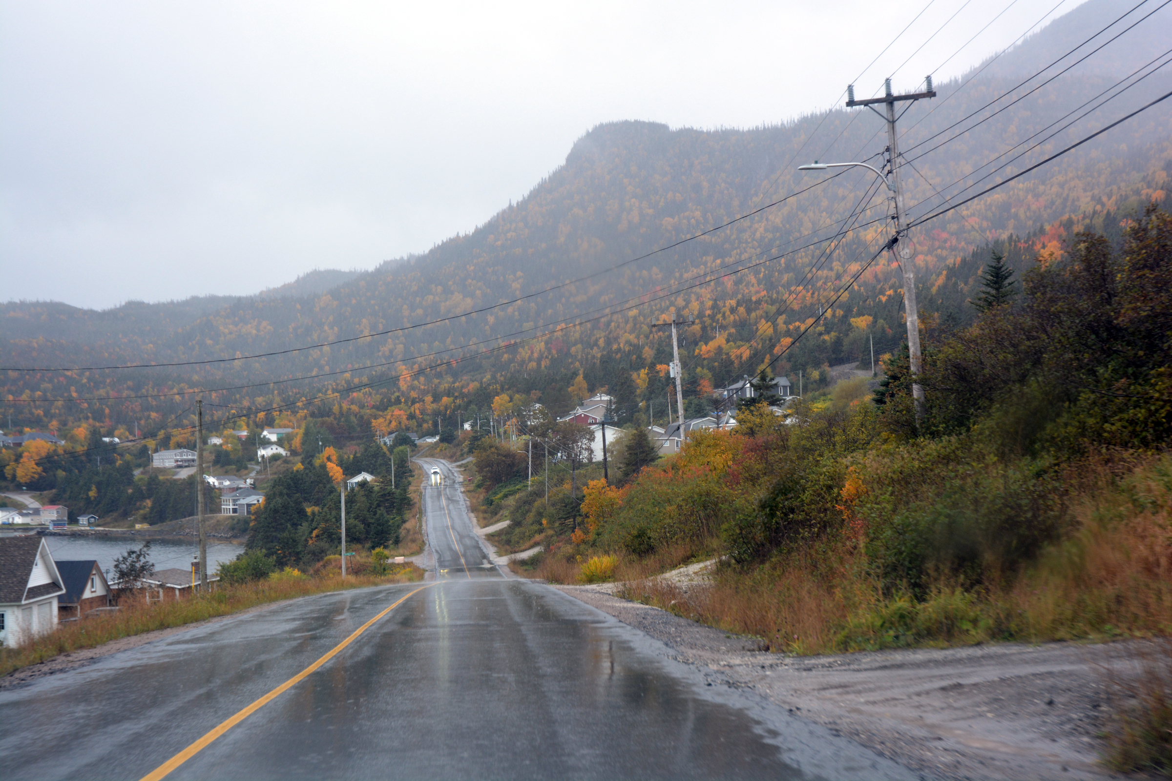
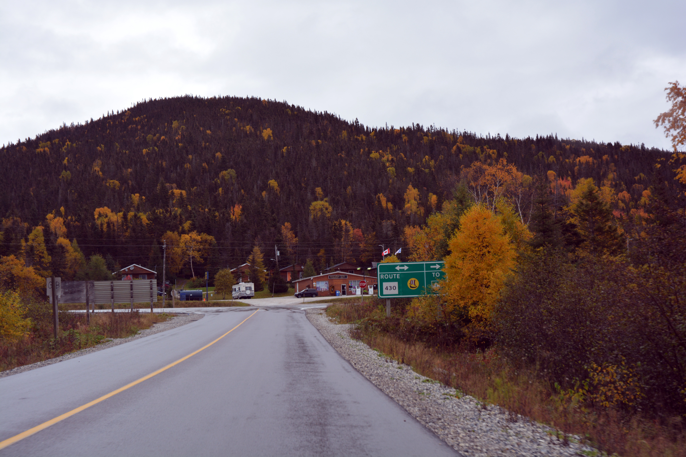
North to Gros Morne National Park
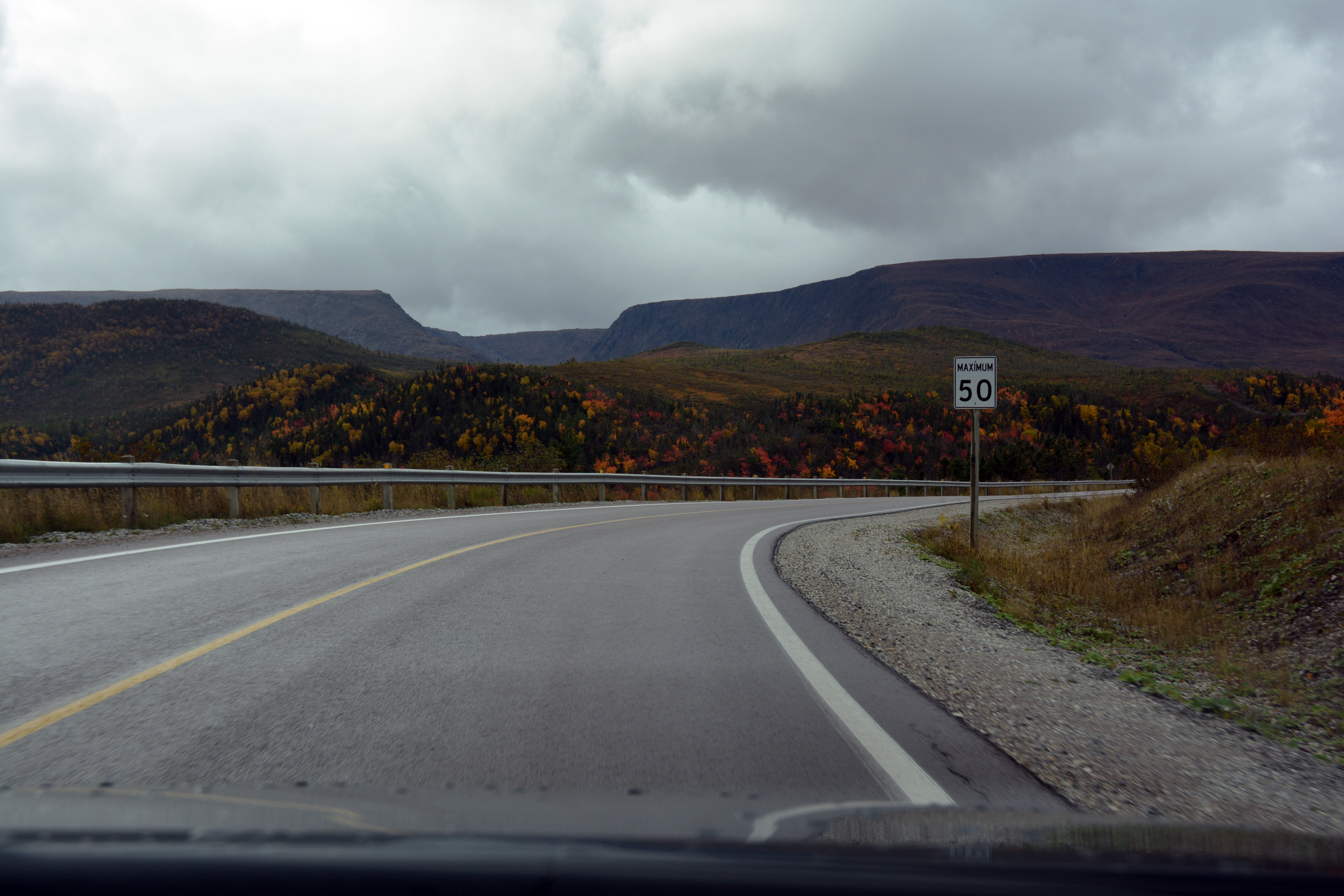
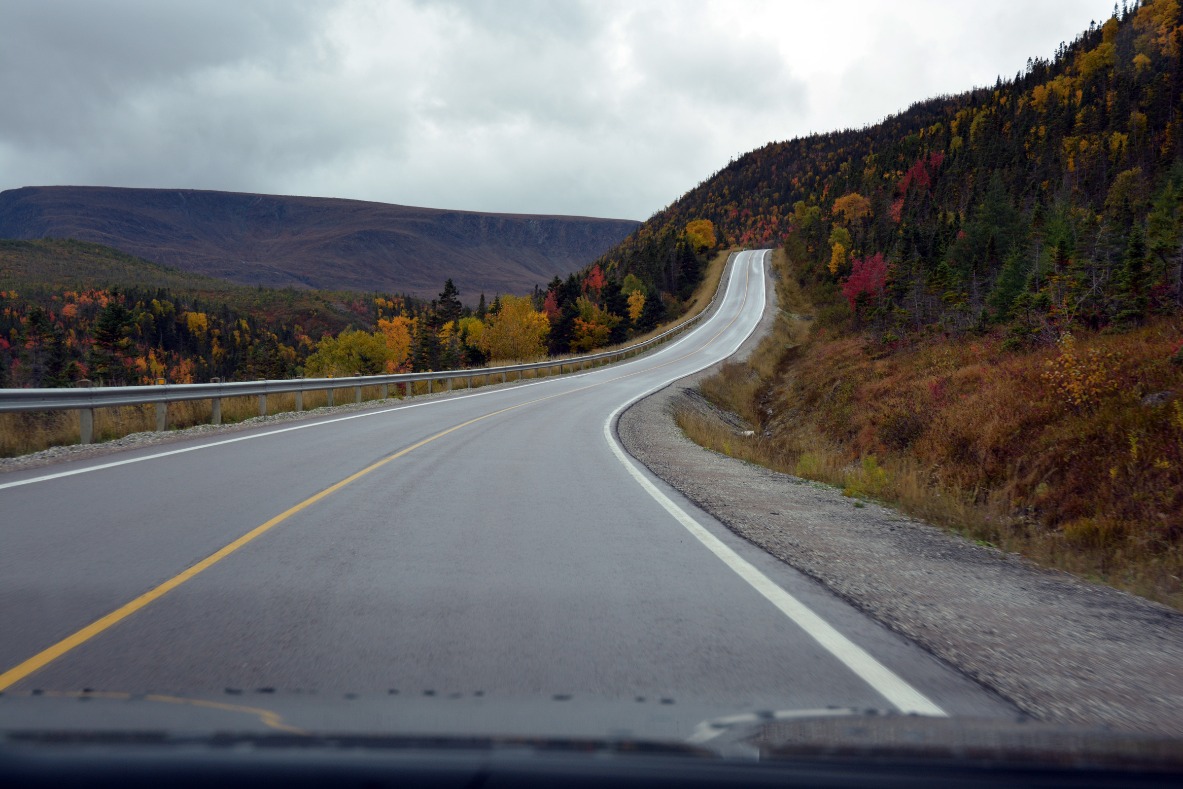
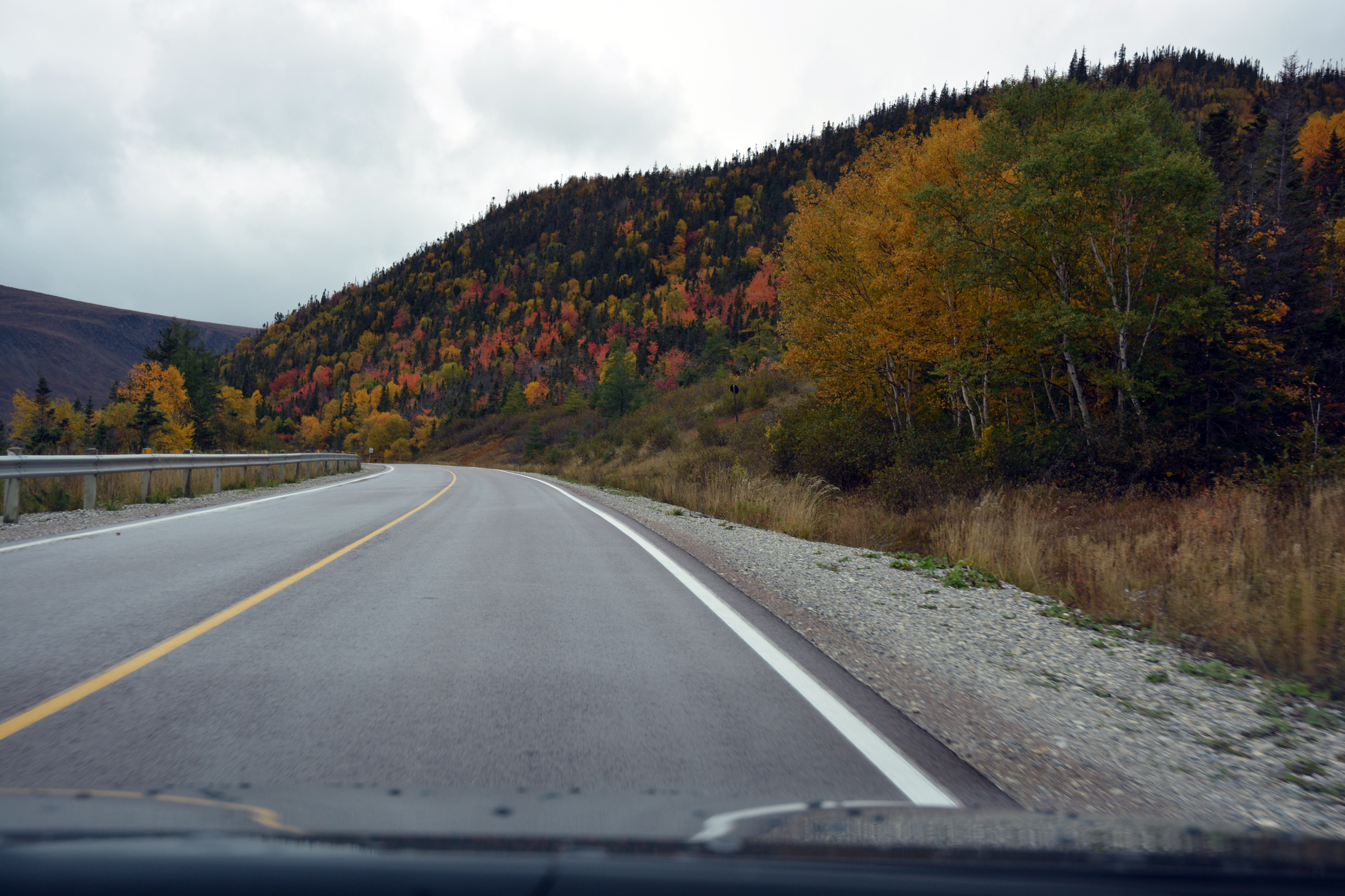
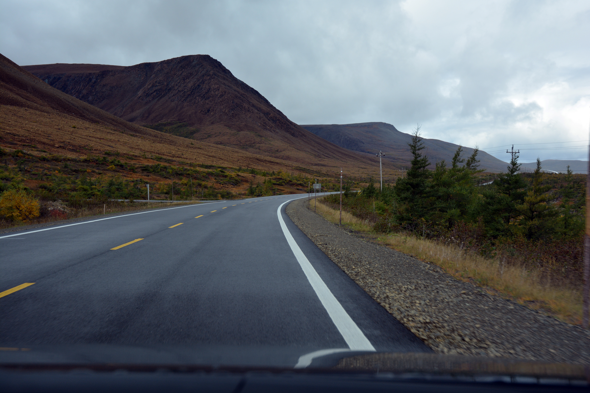
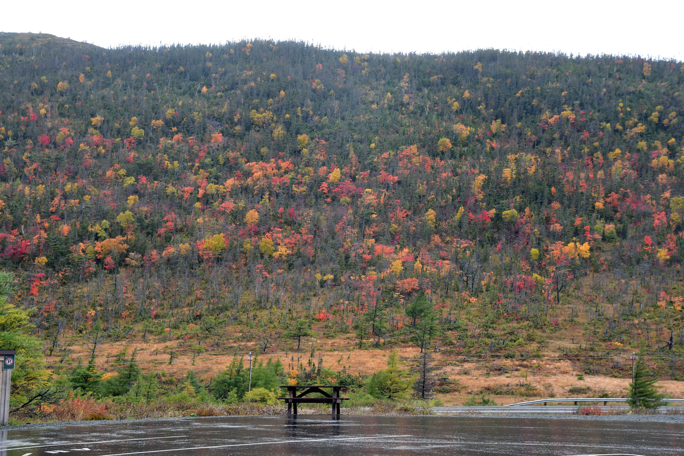
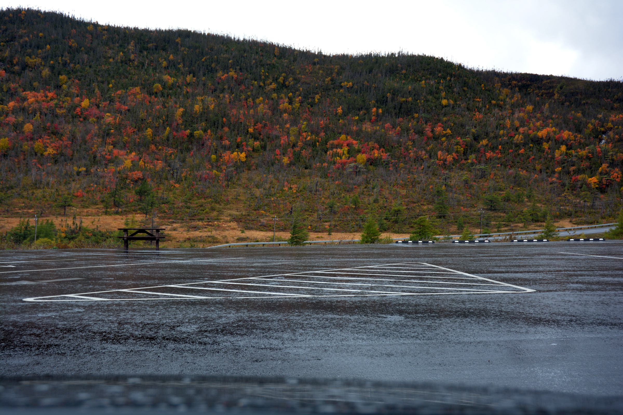
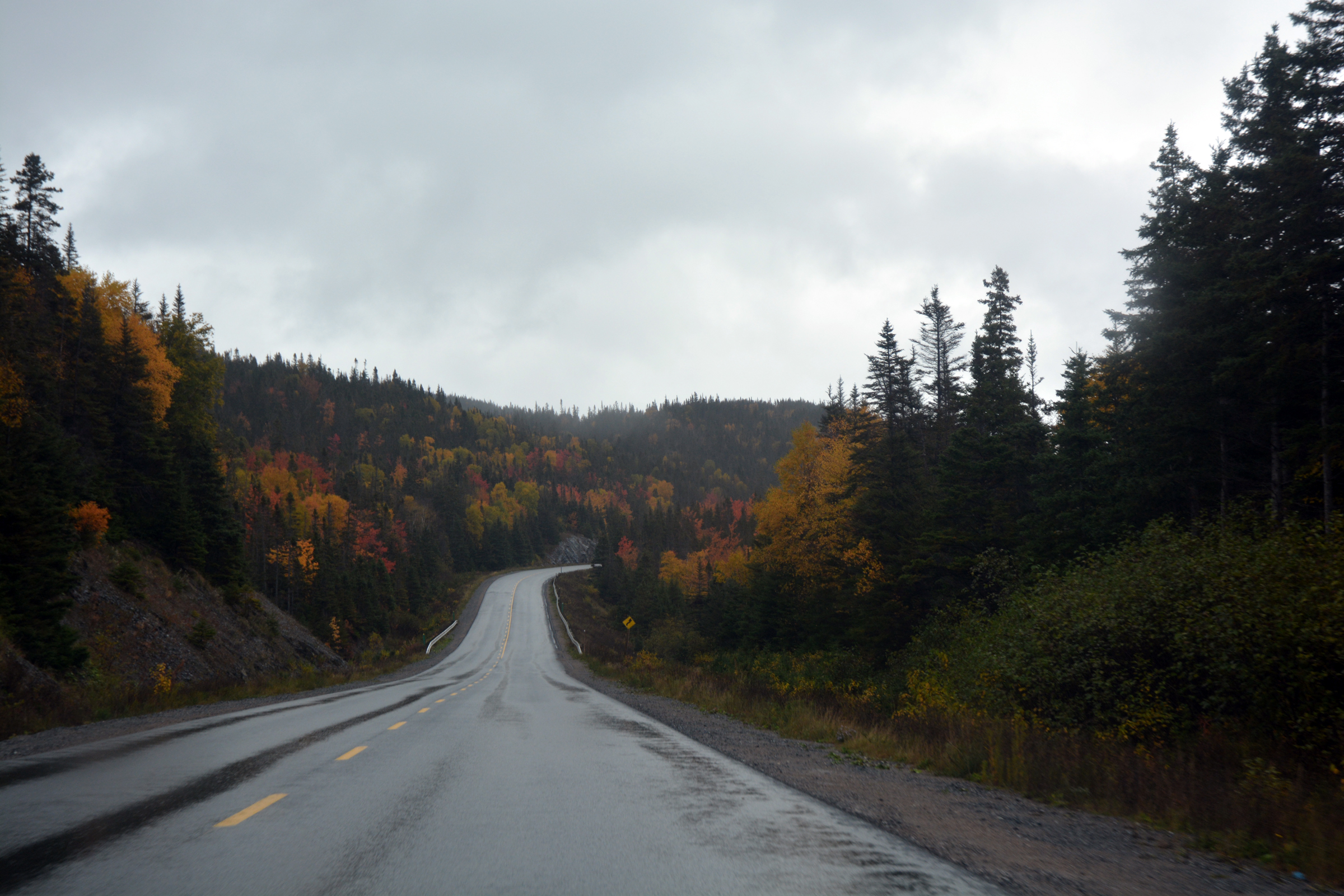
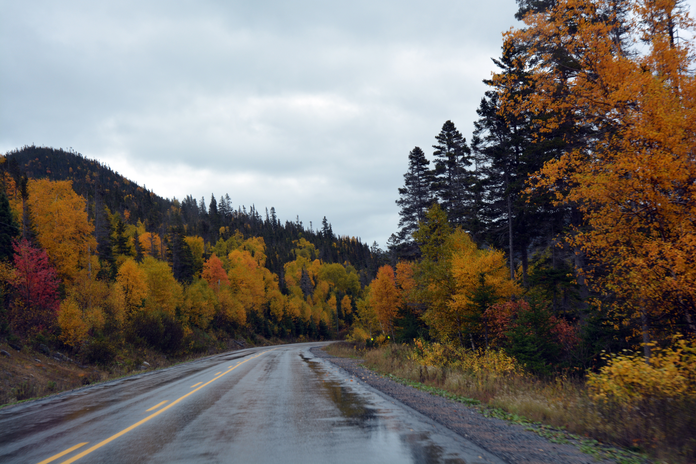
From Corner Brook we returned north up the TCH (the road signs say East!) back to Deer Lake then found our way onto the NL-430 Highway towards Cow Head. By this time the rain had started, a few heavy showers that became more persistent through the
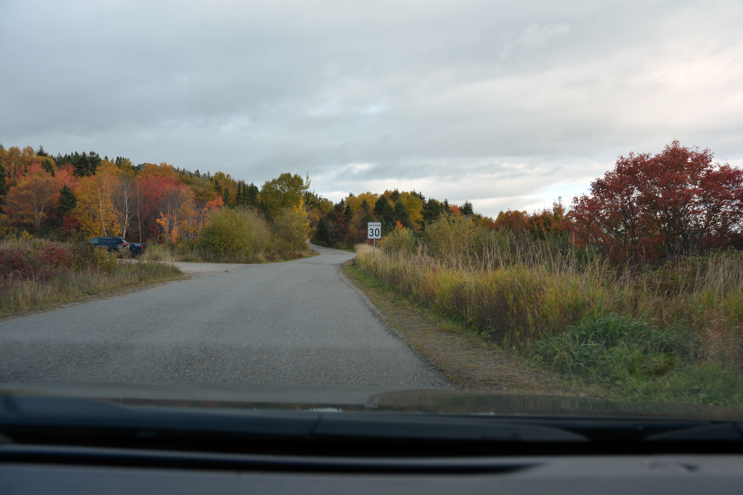
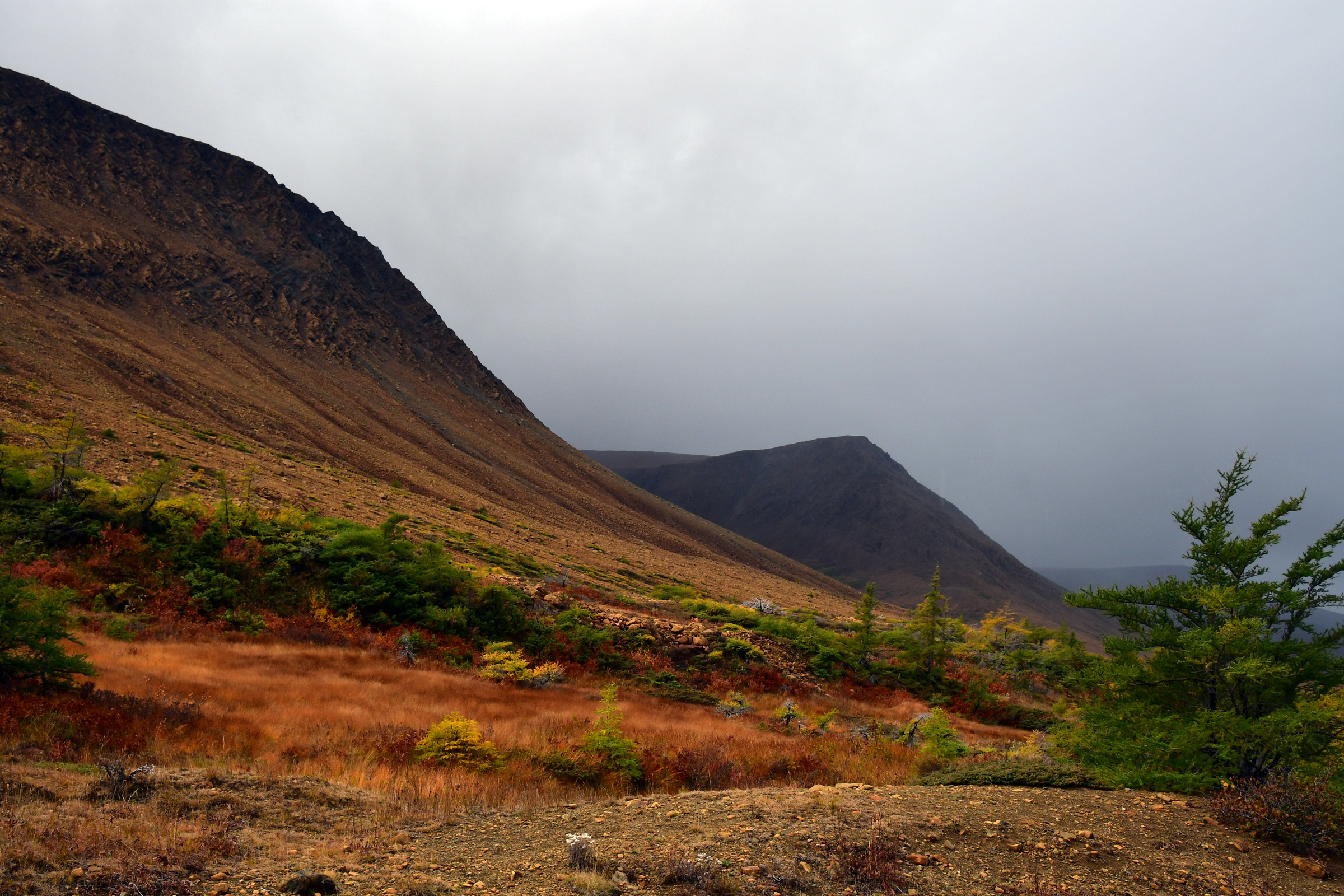
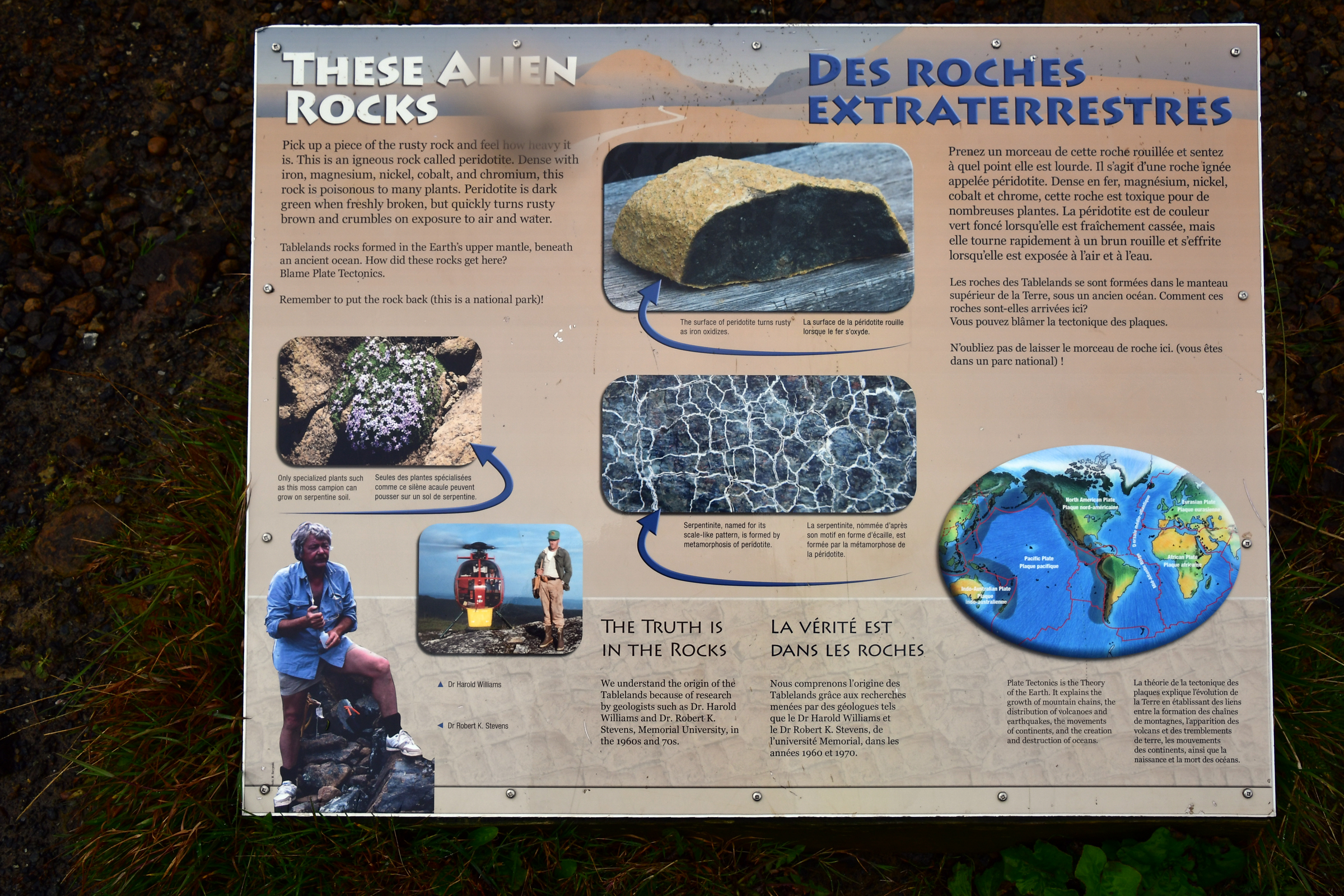
day. Despite the heavy overcast the Fall colours still shone through. At Wiltondale we turned off and headed west to find a remote place named "Tablelands". It is a flat-topped massif composed
of amphibolite, an iron-magnesium rich mineral that makes up Earth's mantle. Tablelands is a fragment of mantle that was squeezed up to the surface. Although it is touted as unique, we have an identical piece of mantle in New Zealand at Dun Mountain.
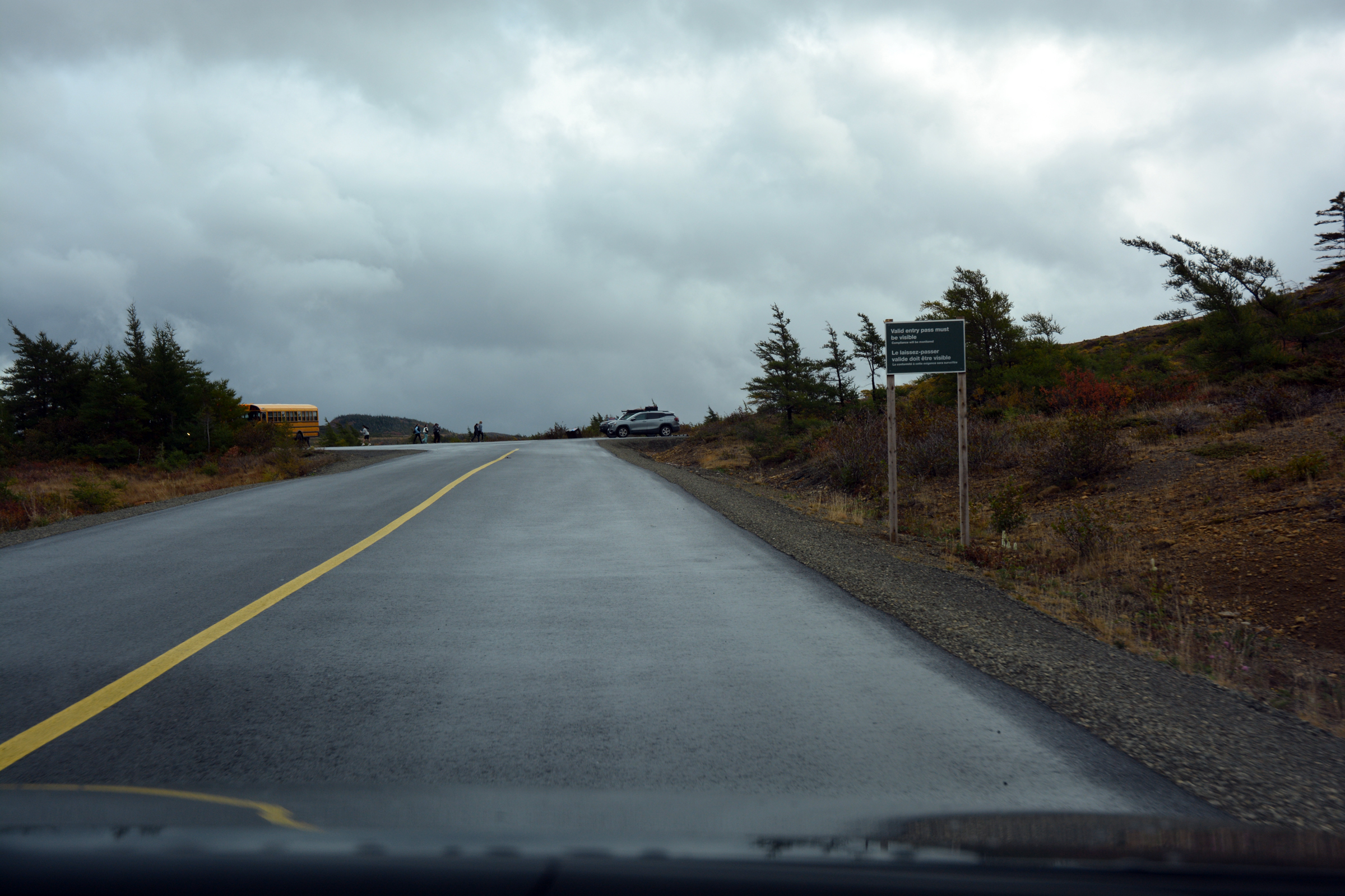
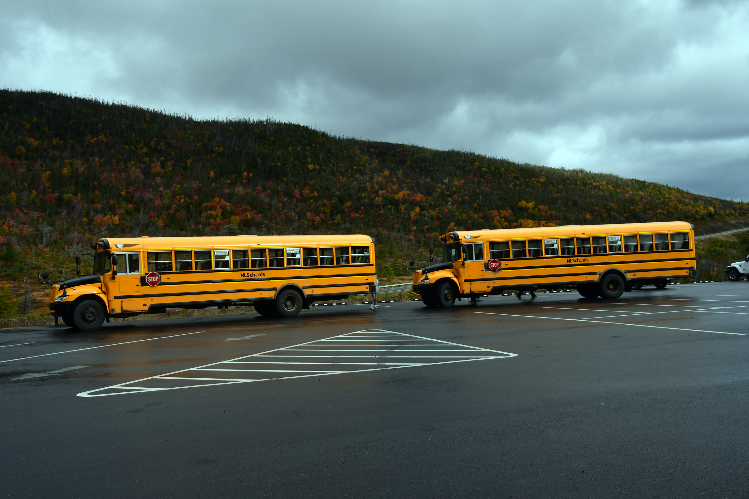
We planned to stop in the car park for lunch, just as two school buses arrived. Out climbed 60 children from Deer Lake School, they ran around, shouted and yelled, looked at the rocks then ran for the buses as the rain arrived. Peace descended again.
But the rain foiled any ideas of walking up the hill so we headed back to the main road north.
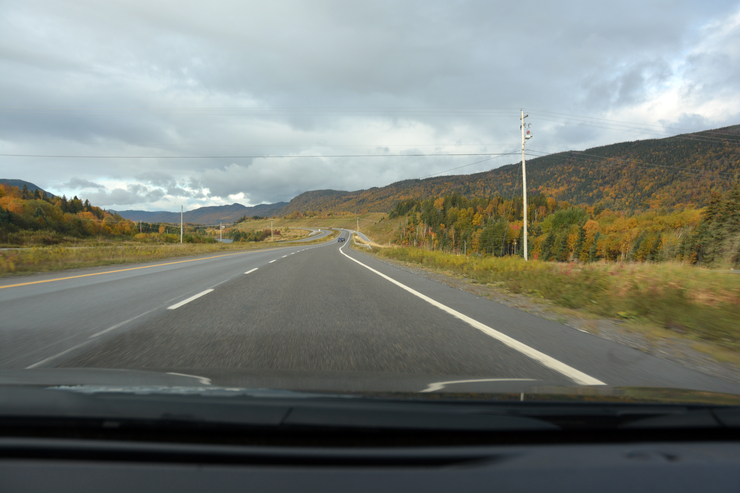
| Heading back to Corner Brook |
|
|
| then north towards Deer Lake |
|
|
|
|
|
|
|
|
|
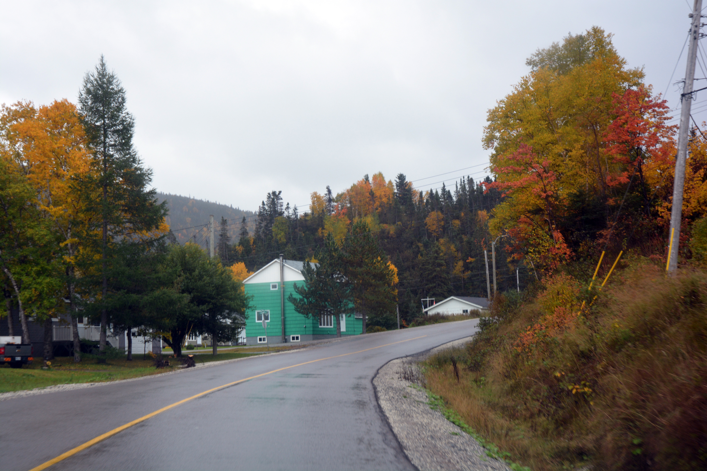
Now heading west towards Shoal Brook and the turnoff to Tablelands |
|
|
|
|
|
|
|
|
Shoal Brook |
|
|
|
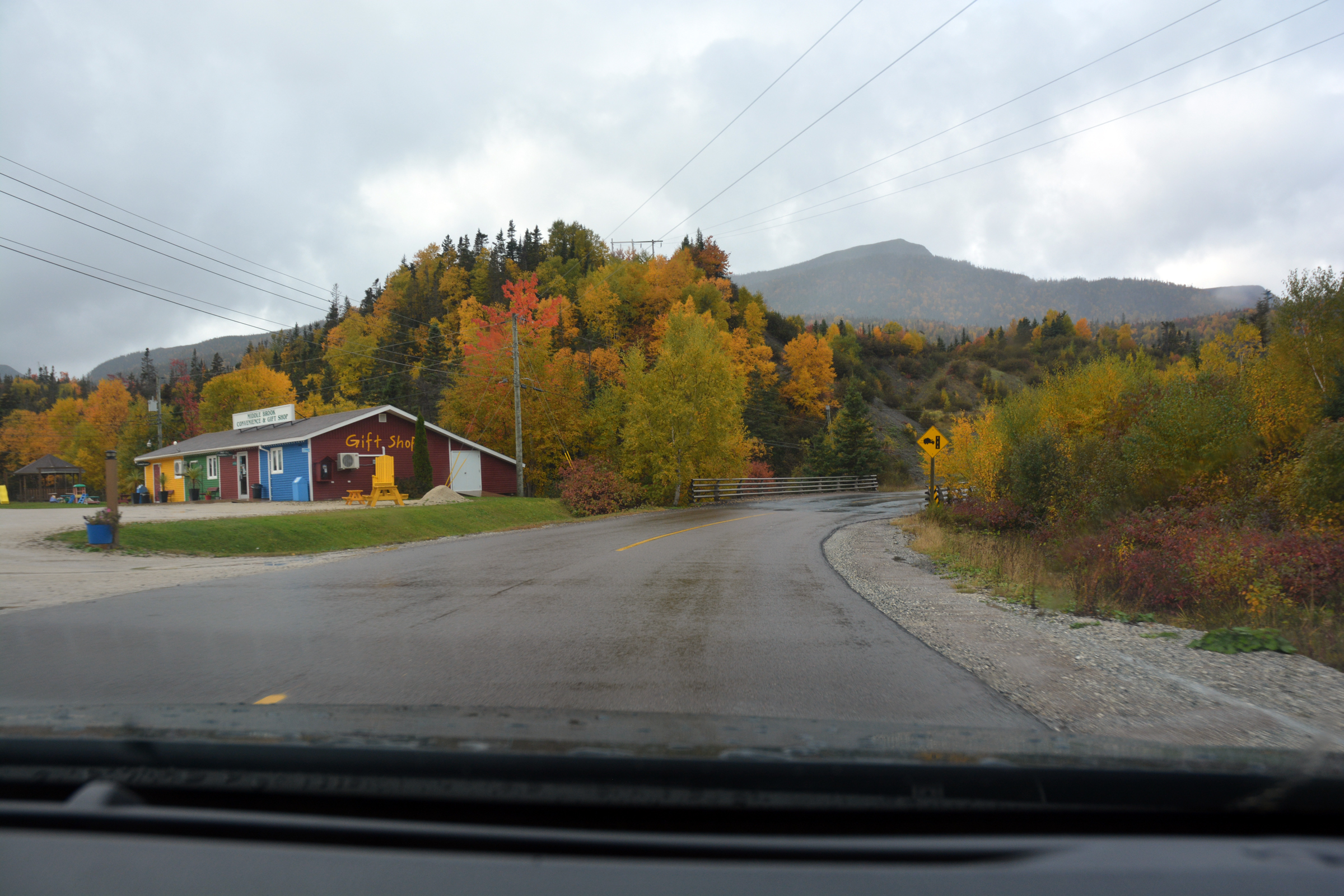
The Discovery Centre at the turnoff |
| The rain was not getting any lighter - nor was the sky |
|
|
|
|
|
| The Tablelands car park in the distance - what are those school busses doing there? |
|
|
| Another shower of rain and 60 children just disappeared! |
|
|
|
|
Suddenly the car park was empty. |
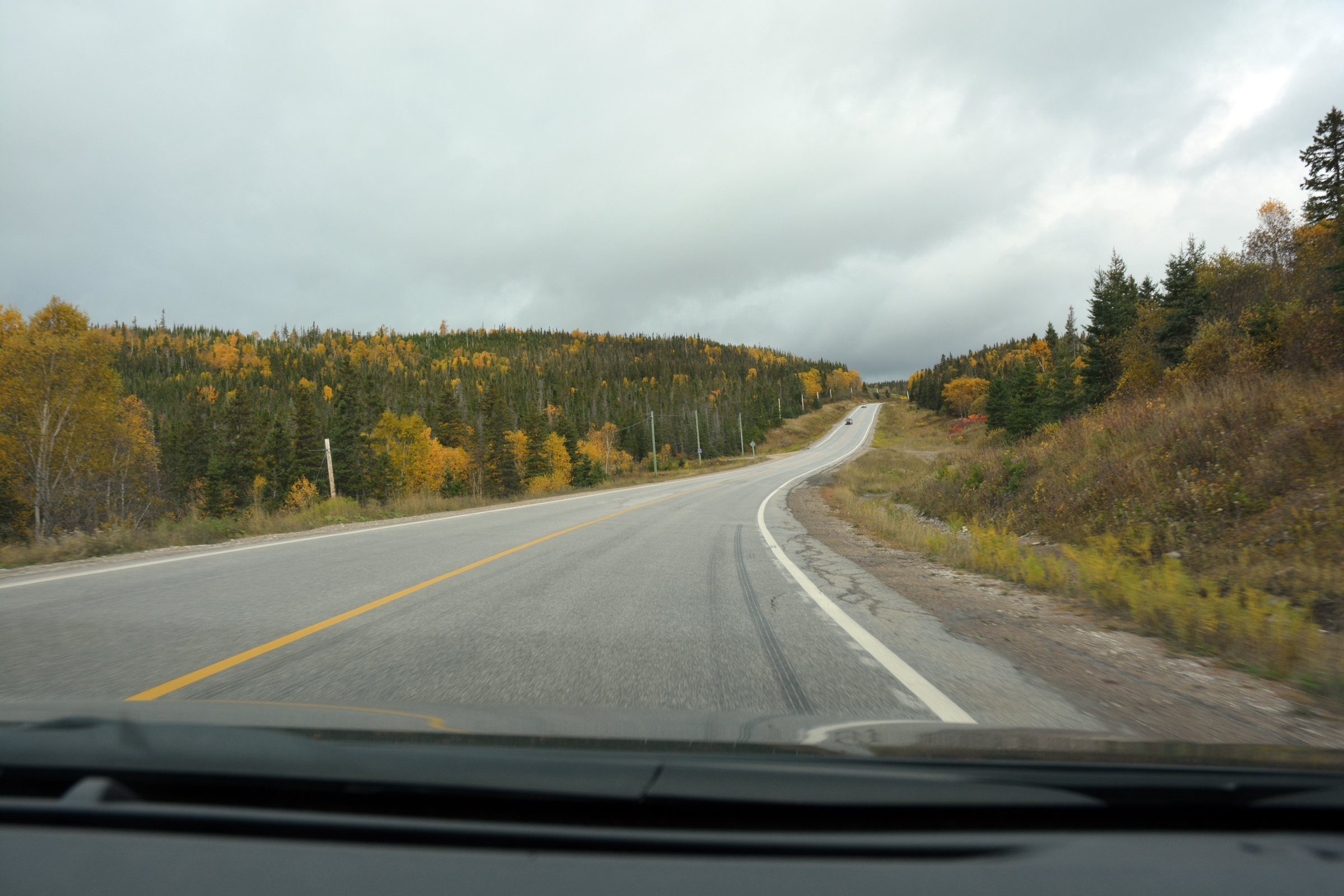
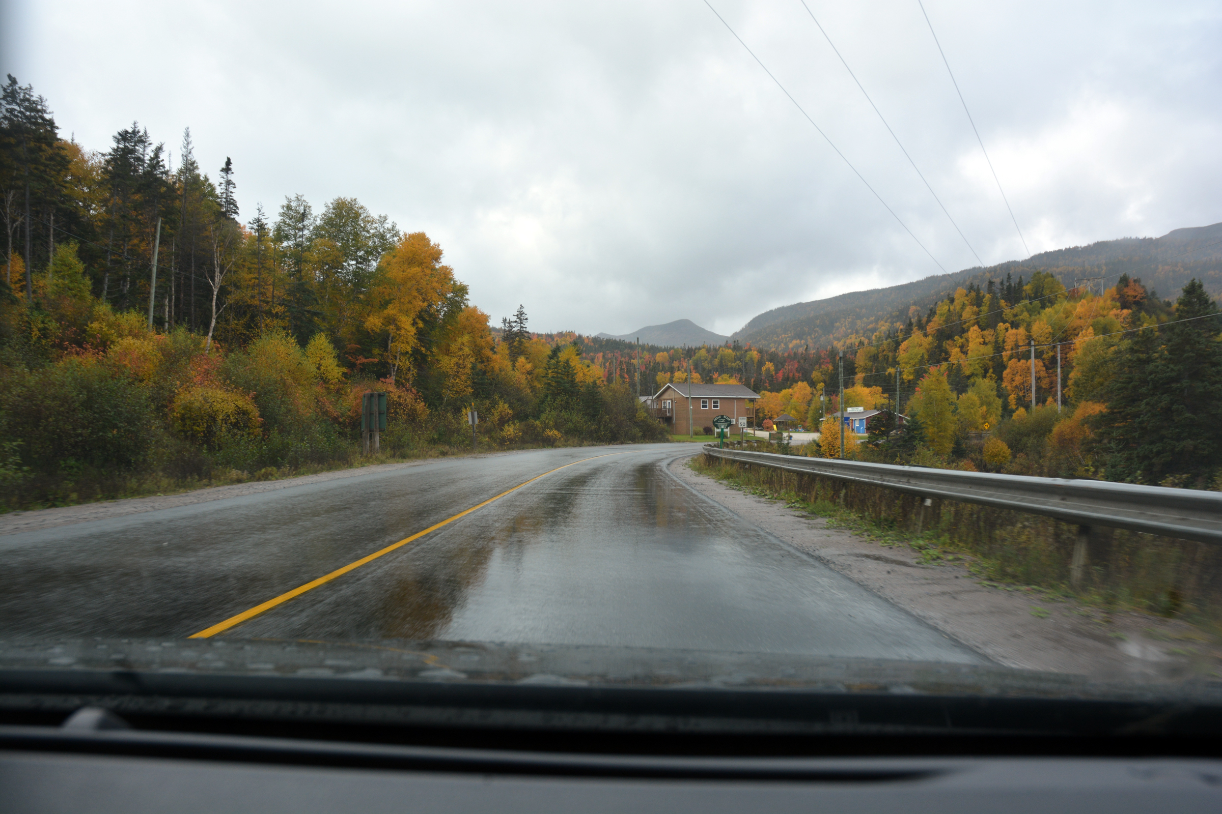
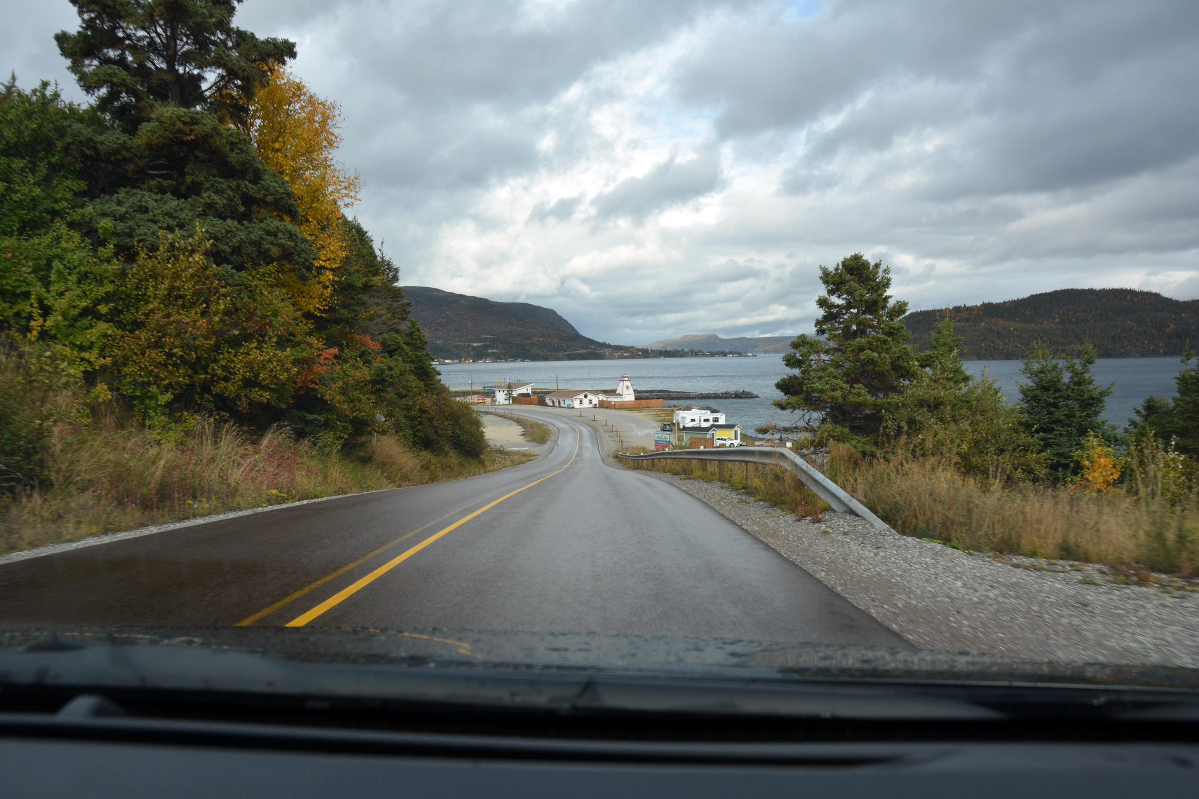
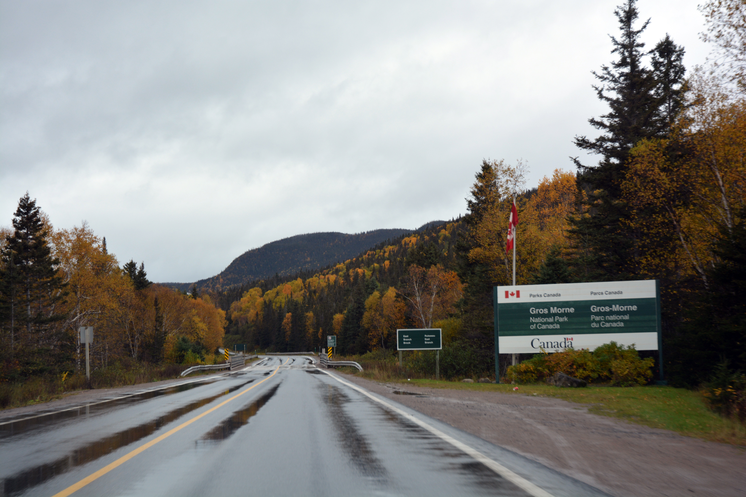
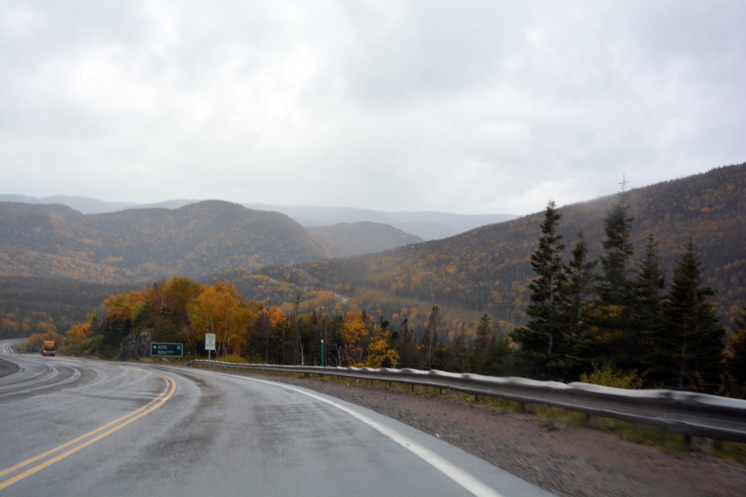
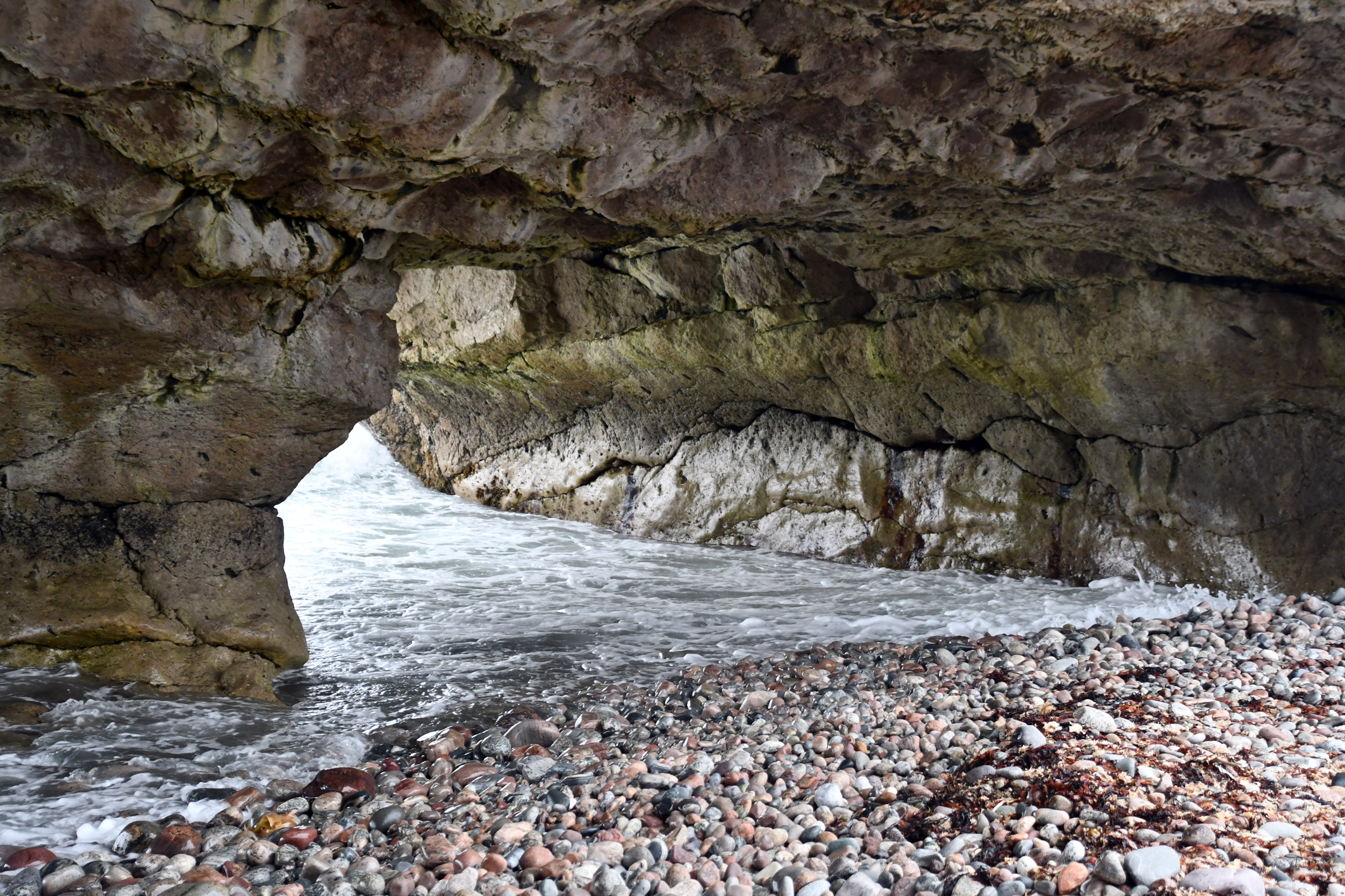
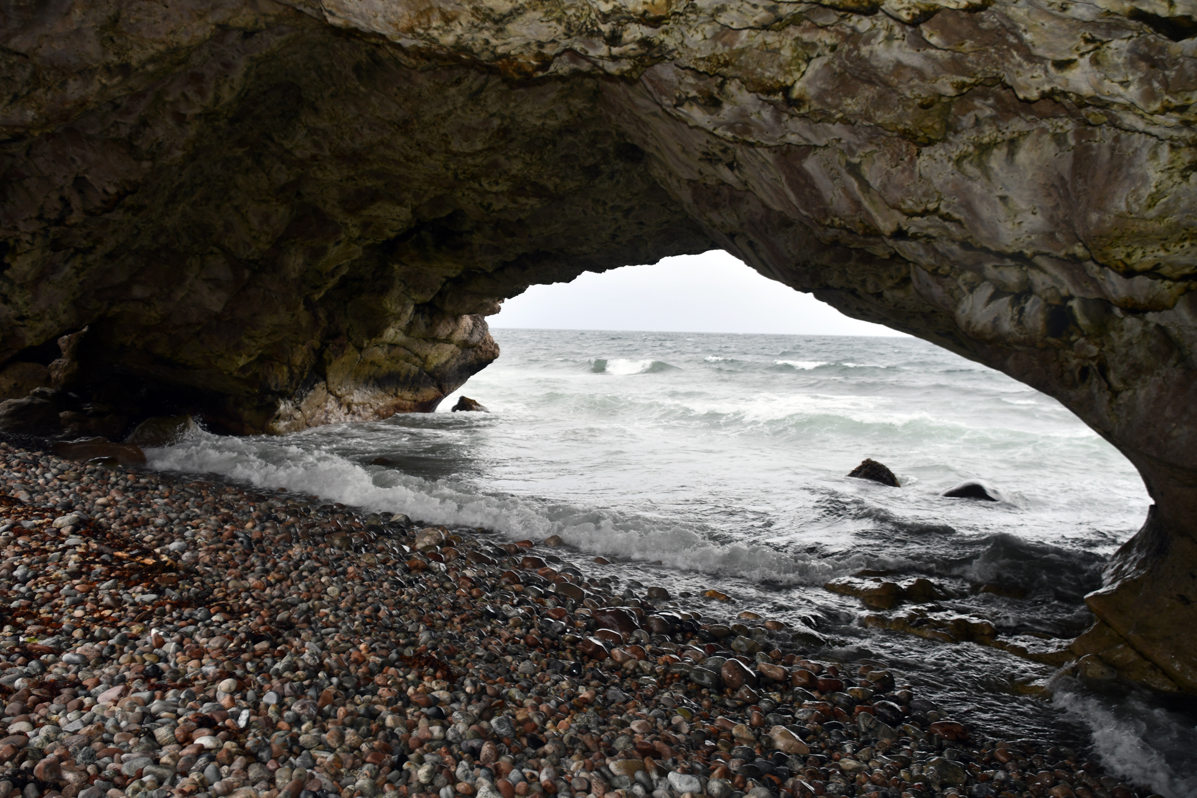
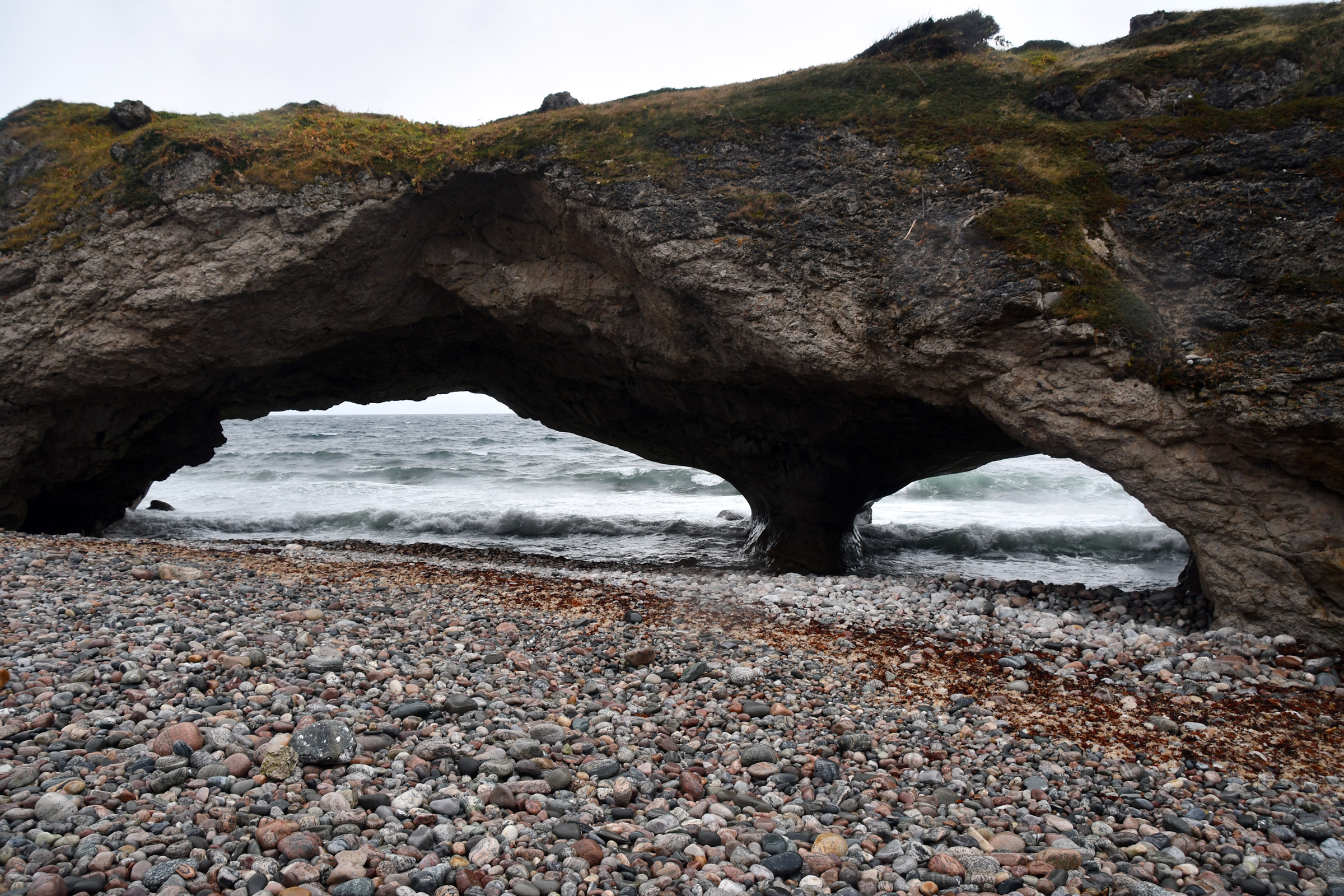
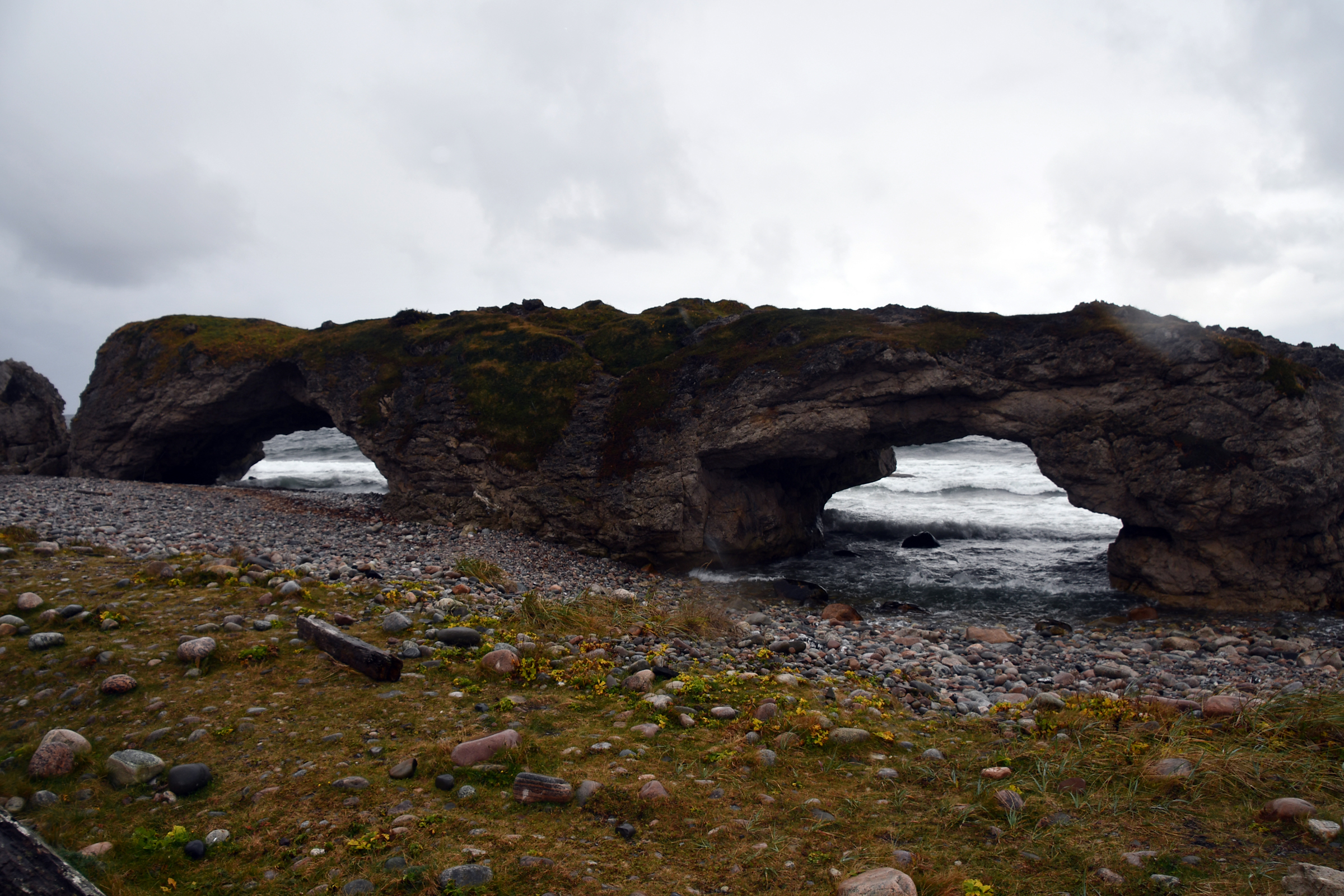
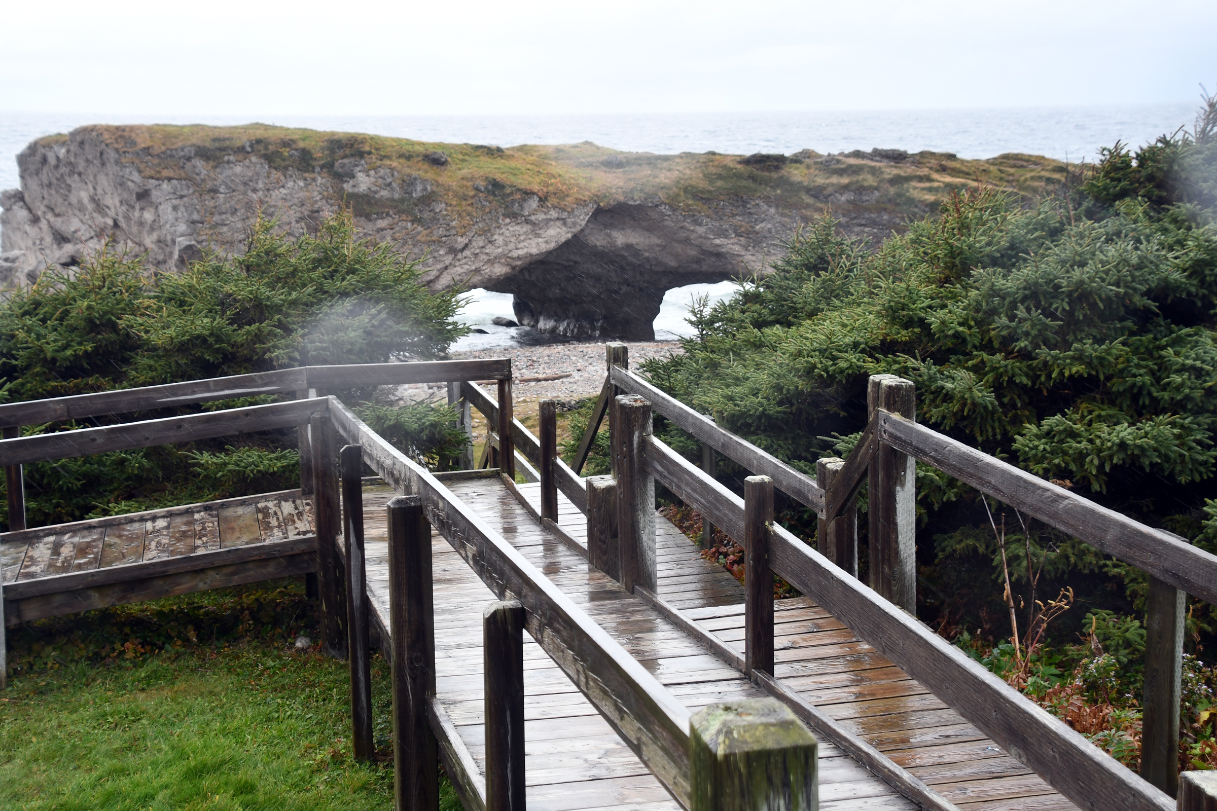
Gros Morne National Park, The Arches and Cow Head
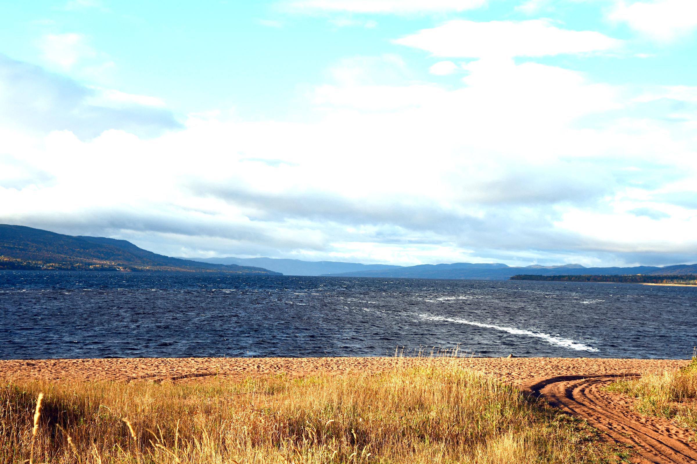
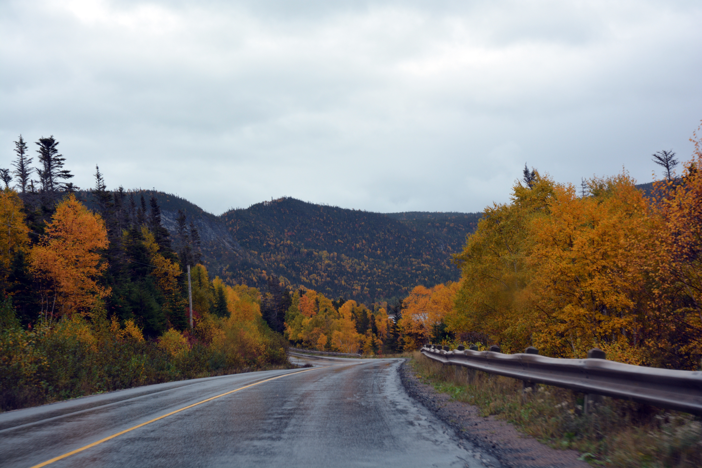
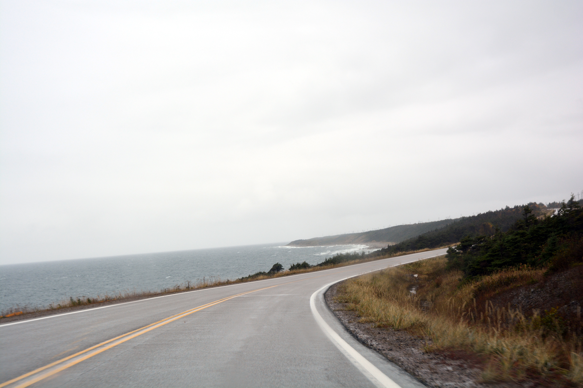
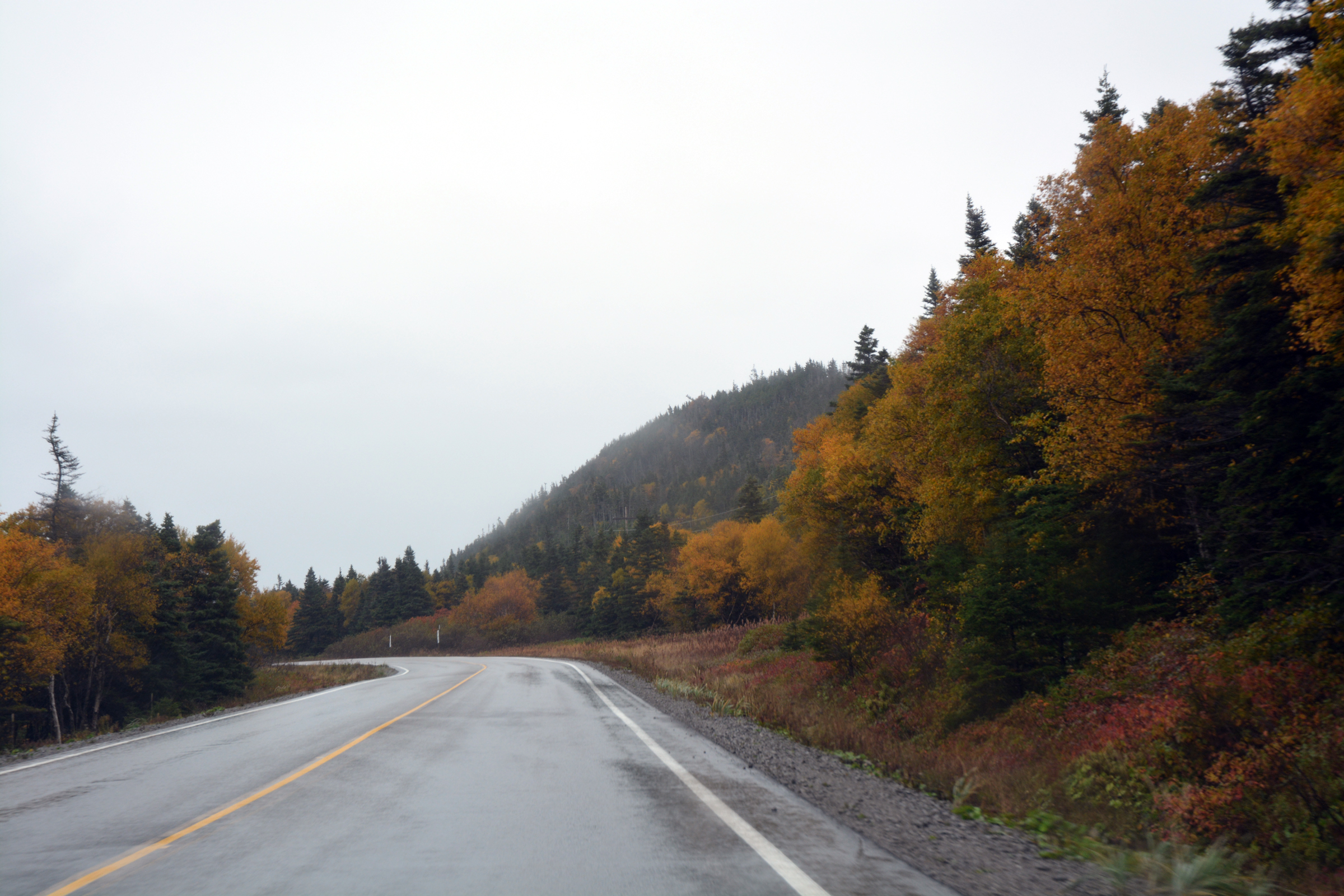
Heading north from Wiltondale we passed inlets, arms of the harbour and small lakes but the grand views of the Gros Morne Mountains were not to be - hidden by the low clouds. North of Cow
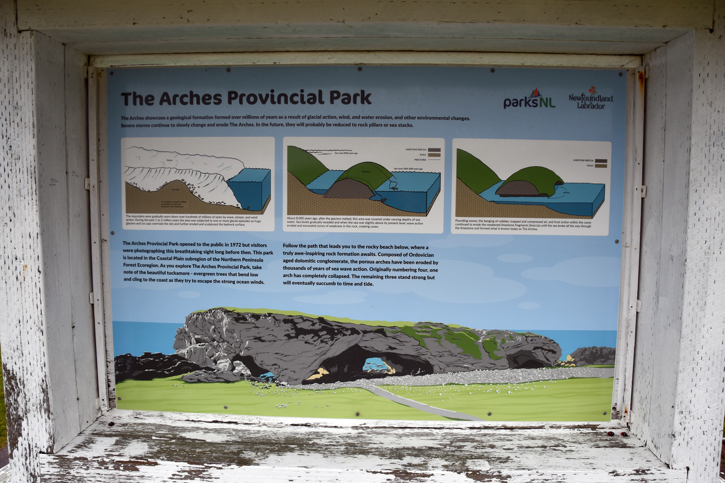
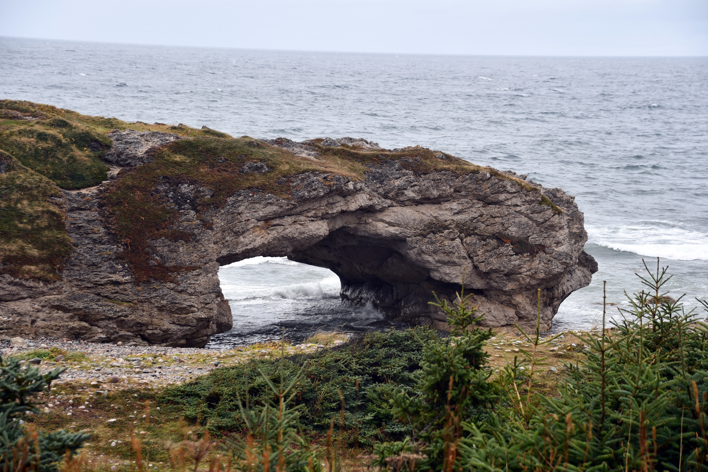
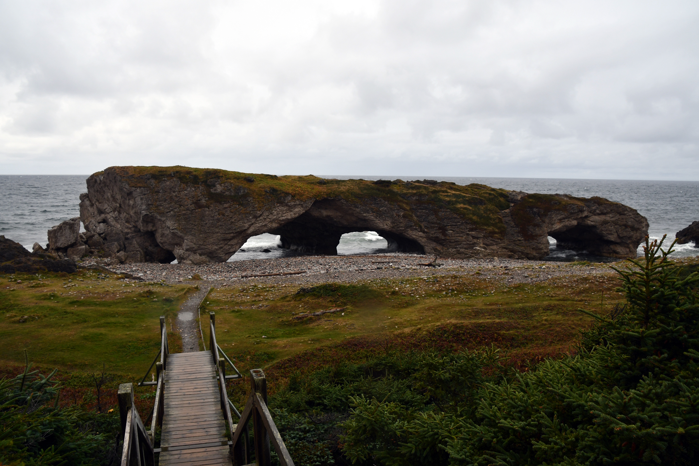
Head we stopped at the small Arches National Park. Here limestone has been battered by the sea into stacks and caves. The wind ensured our visit was brief. Back down the road to Shallow Bay and Cow Head (the bays form two scallops cut into the coastline)
and our B&B for the night. Dinner was at the nearby Shallow Bay Restaurant, touted online as a fine place to dine, but in reality there was little choice. The meal was OK but we have had better in rural locations.
| Heading back out of the Tablelands car park |
|
|
|
|
|
| Back past the Discovery Centre |
And Shoal Brook |
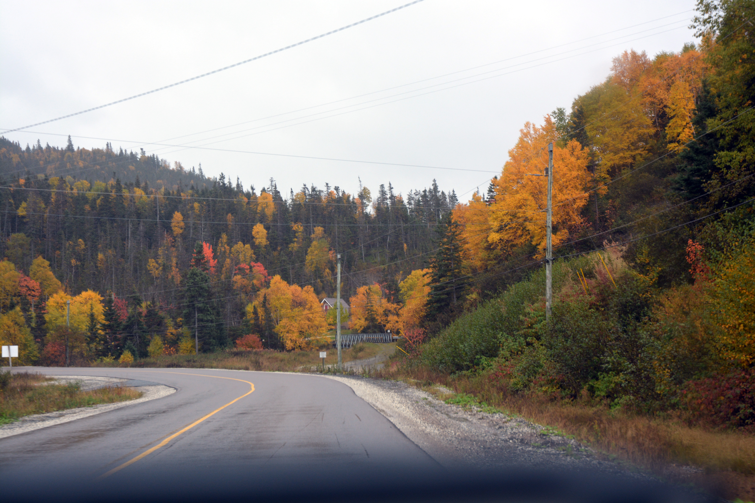
Now north past East Arm |
|
|
|
|
|
|
|
|
|
|
|
|
|
|
|
|
|
|
|
|
|
| and out to the coast at Lobster Point |
|
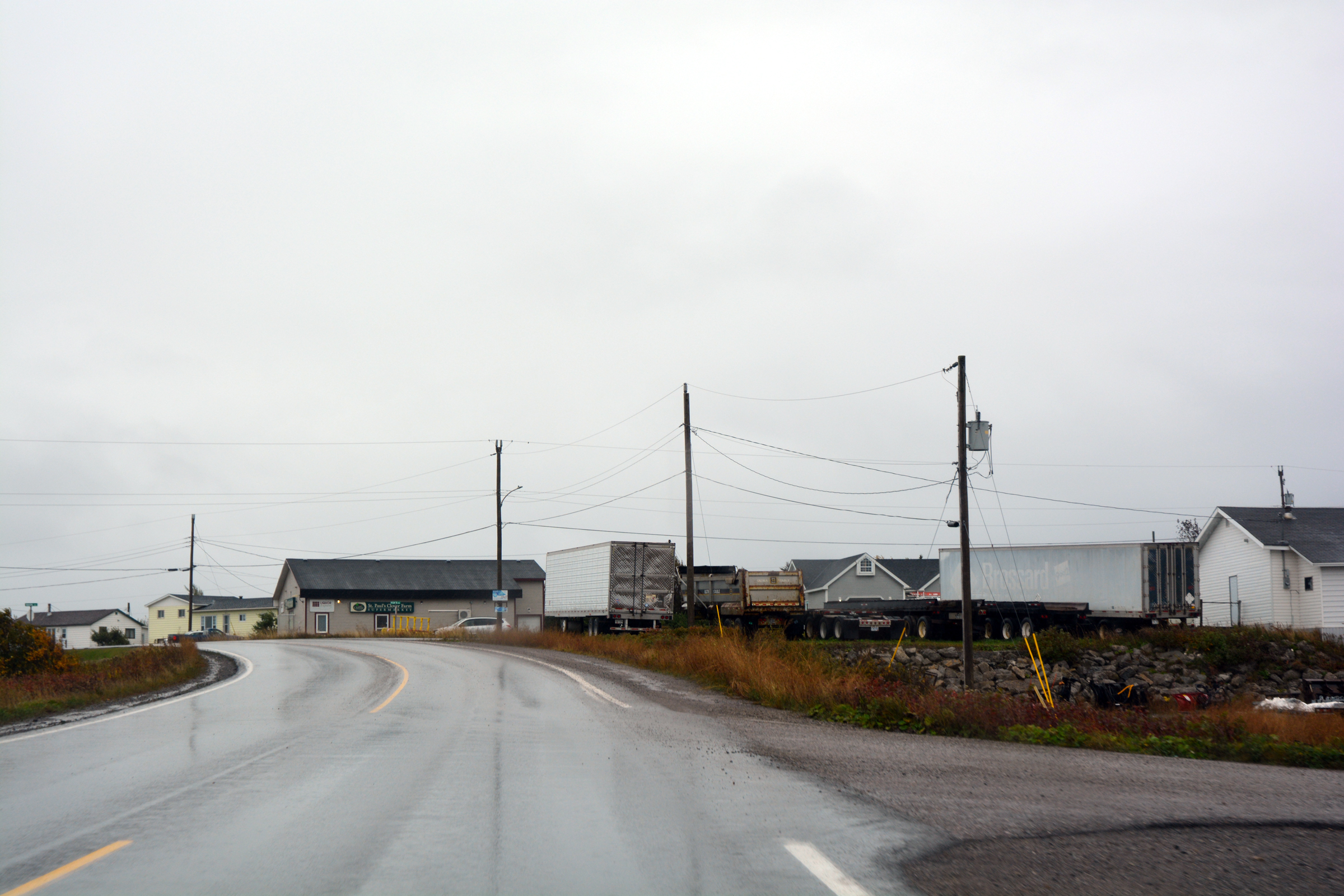
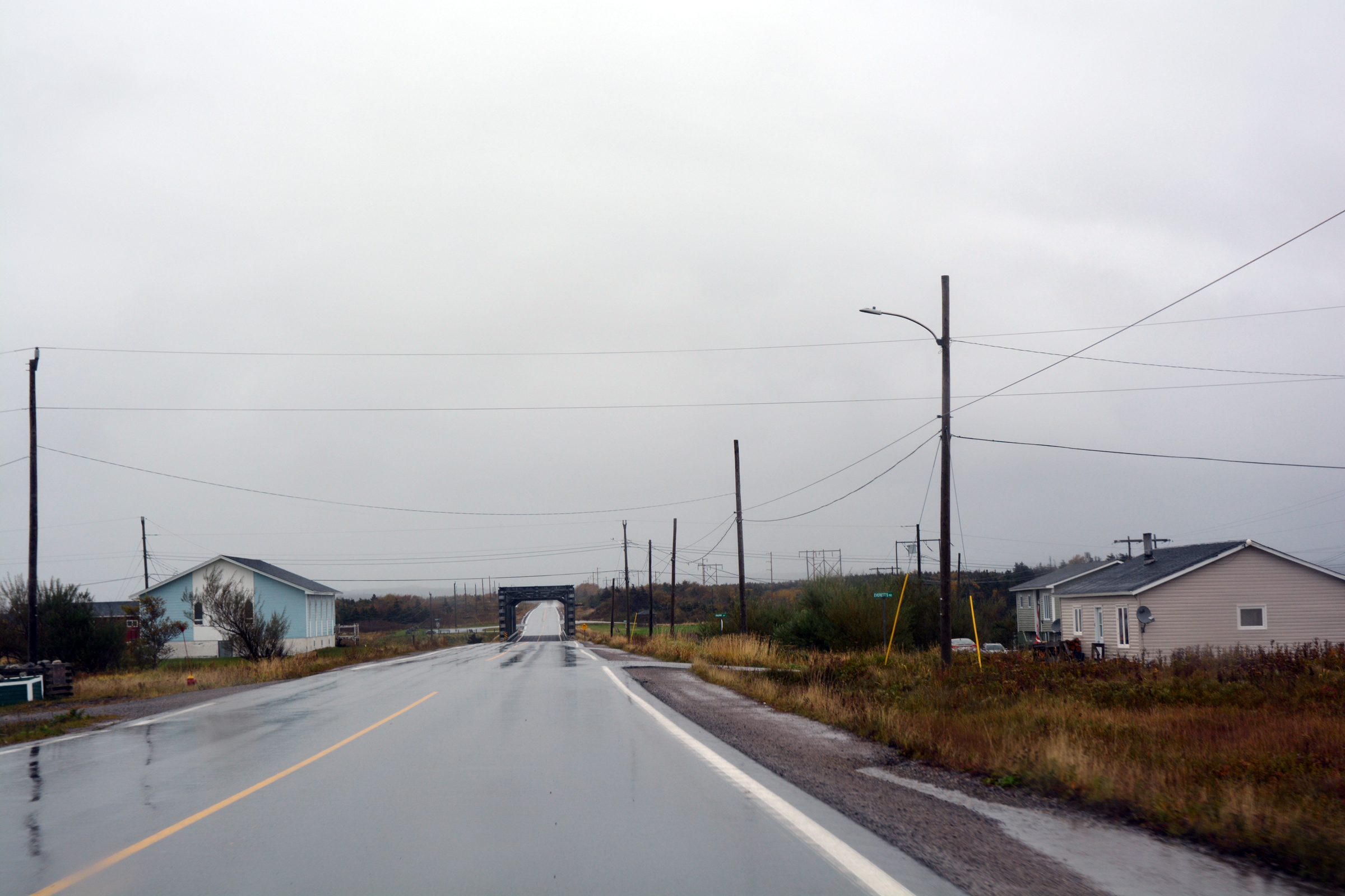
The town of St Pauls |
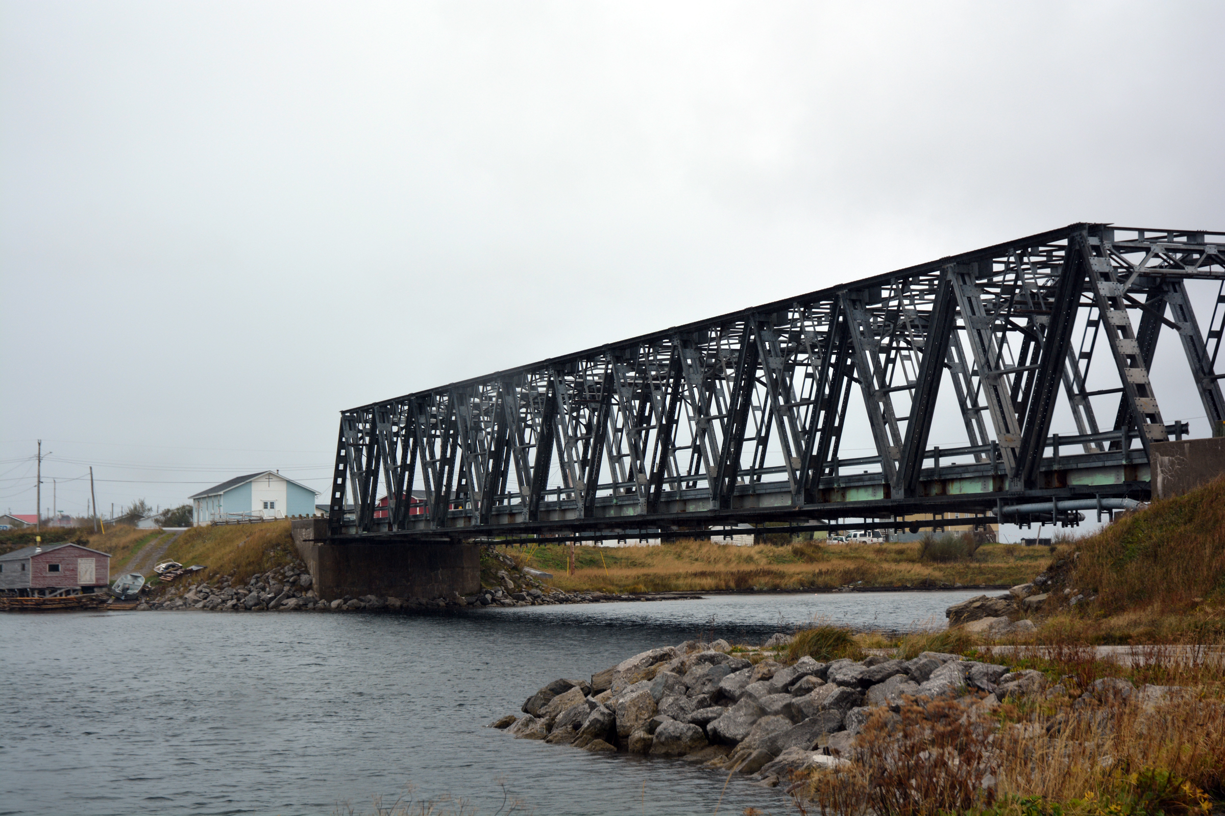
| And over the bridge at St Pauls |
|
|
|
|
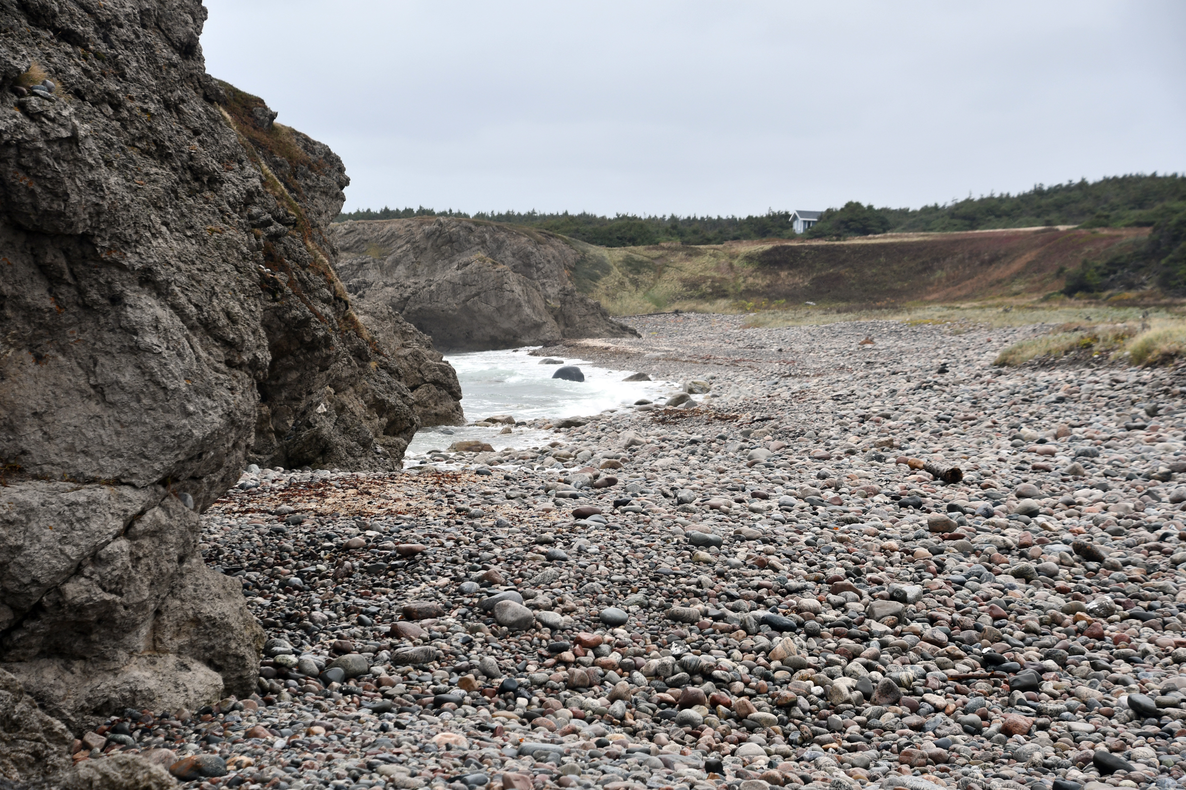
Into The Arches Provincial Park in the rain |
| The Arches |
One arch.. |
Two arches |
|
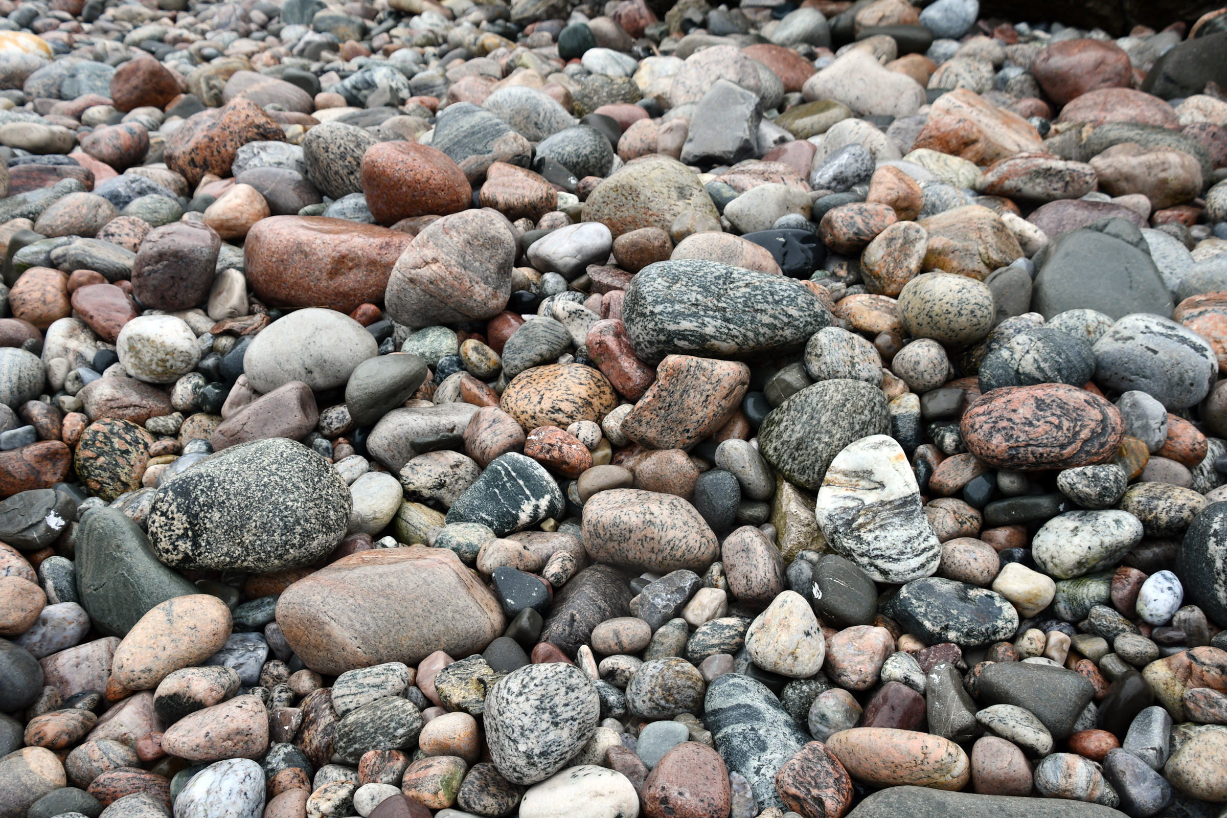
The coarse gravel beach |
With lots of granite and gneiss |
|
|
|
|
|
|
|
|
But the rain continued... |
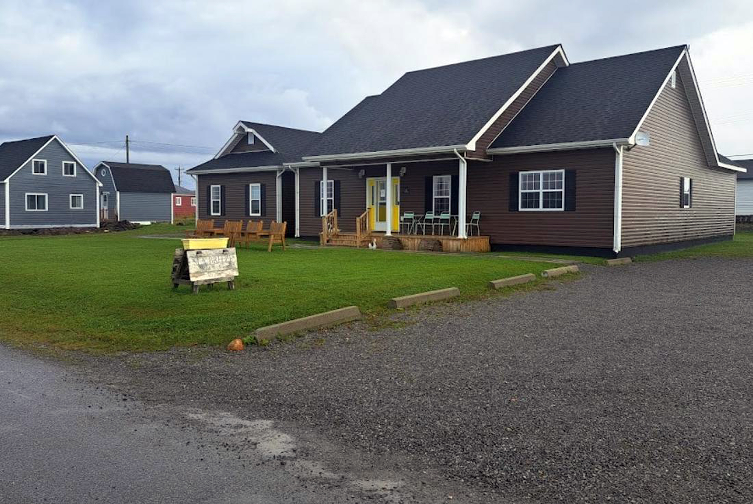
| So we retreated to the Seabreeze B&B at Cow Head |
|
|
| Our room was on the left |
|
|
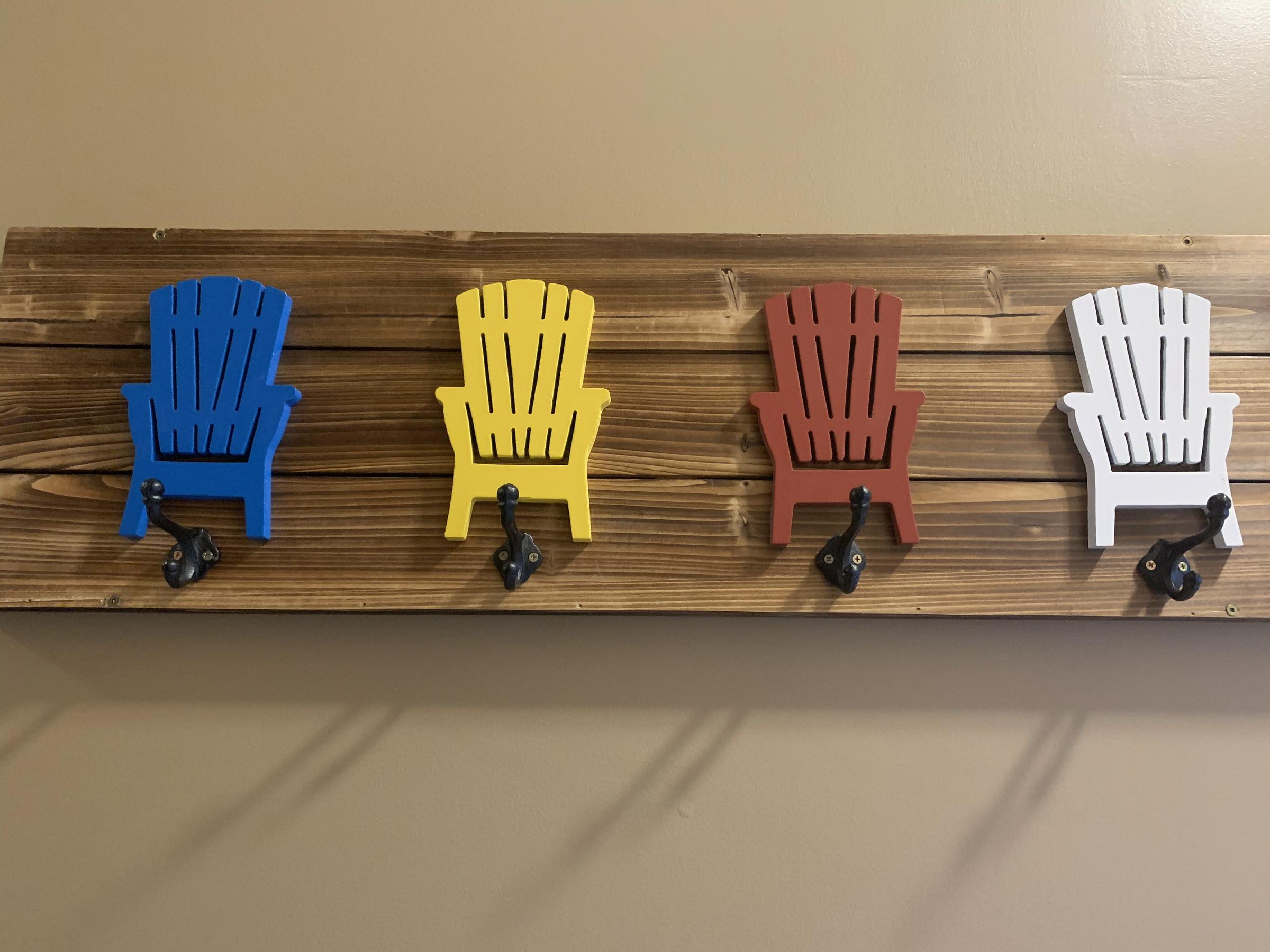
| The Cape Cod chairs are everywhere - even on coat hooks! |
|
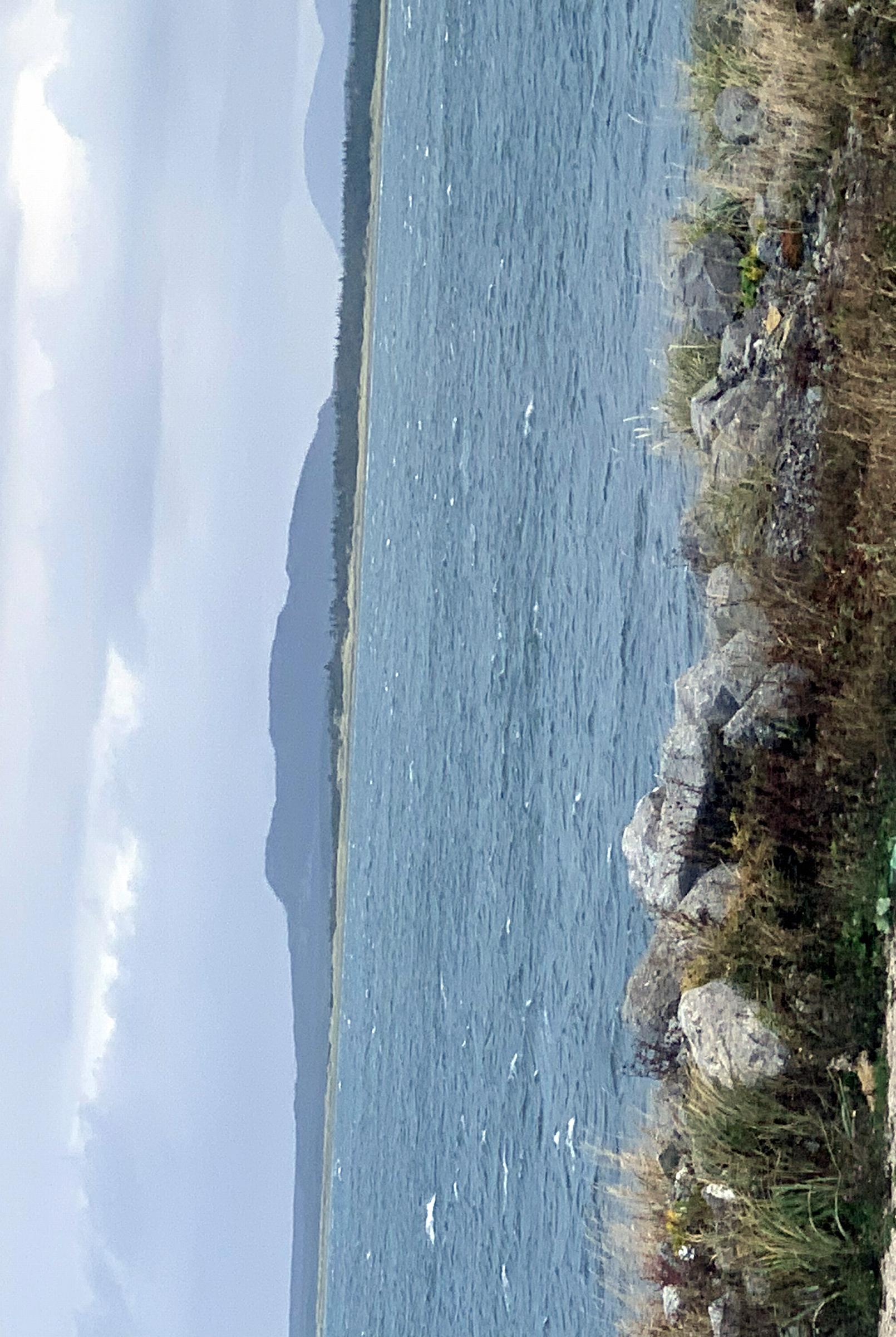
View from our room. |
 Back to previous day-------------
 Forward to next day
Return to Trip Index
Return to Main Index
Last updated: 15 December 2024
|