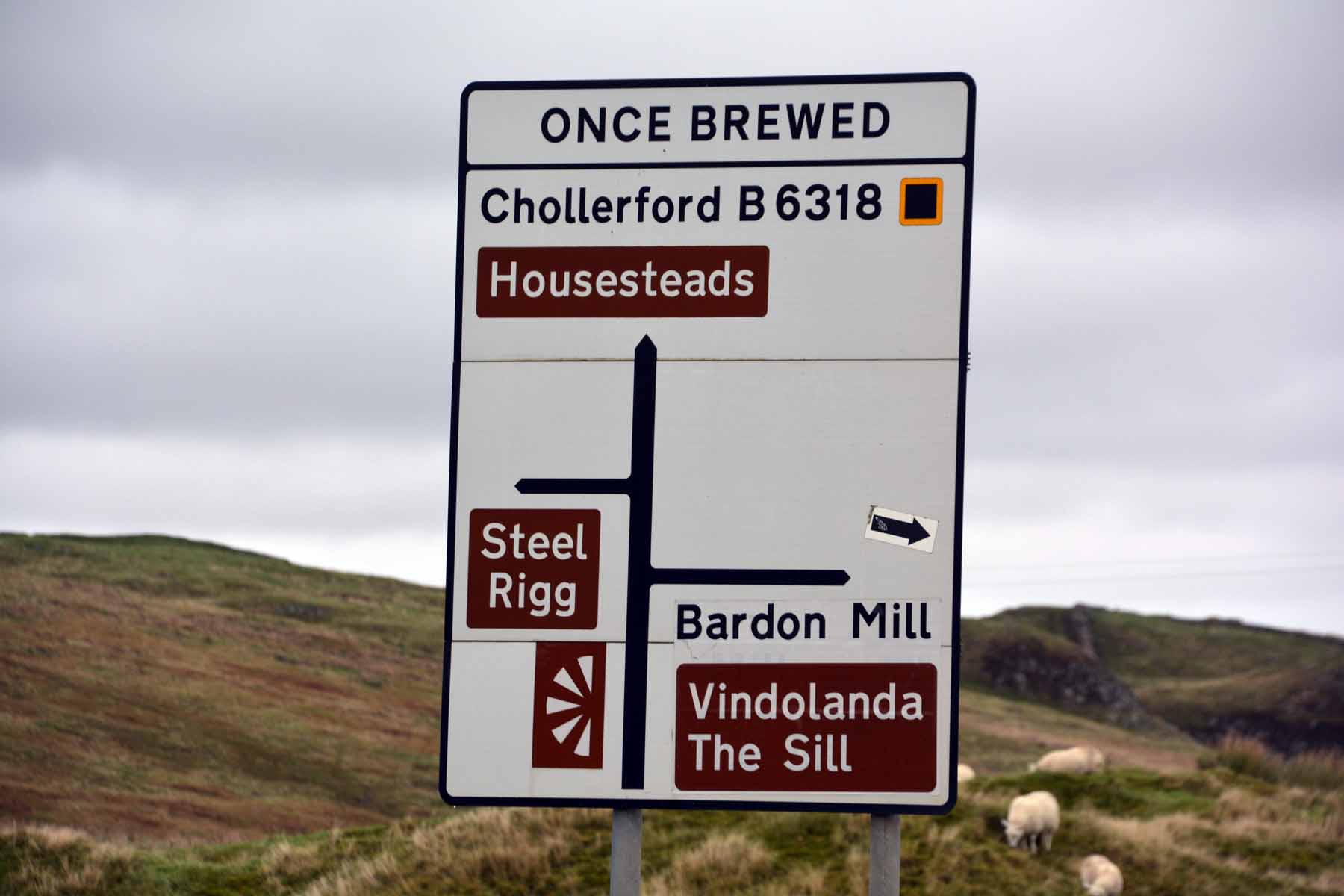
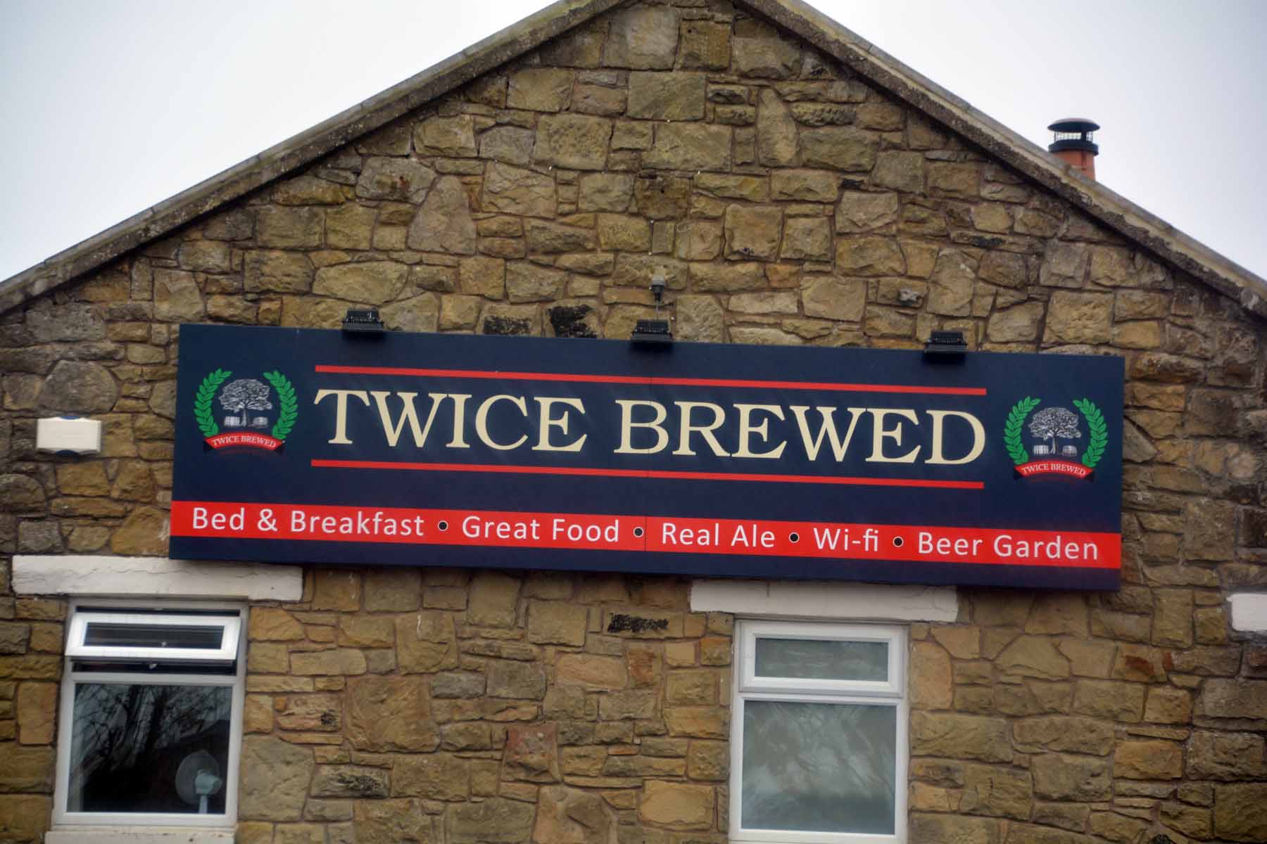
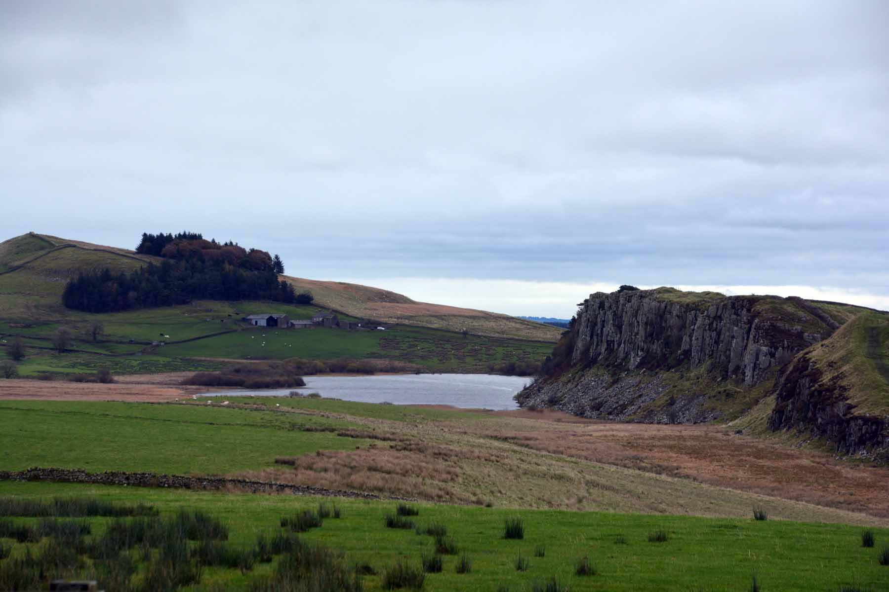
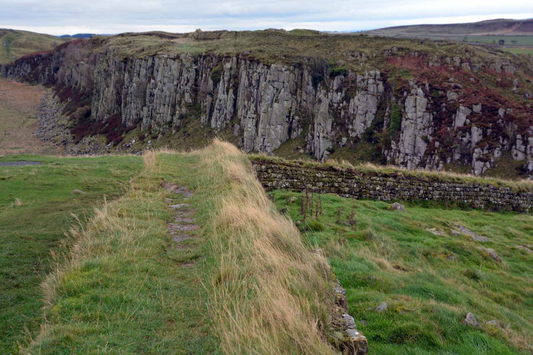
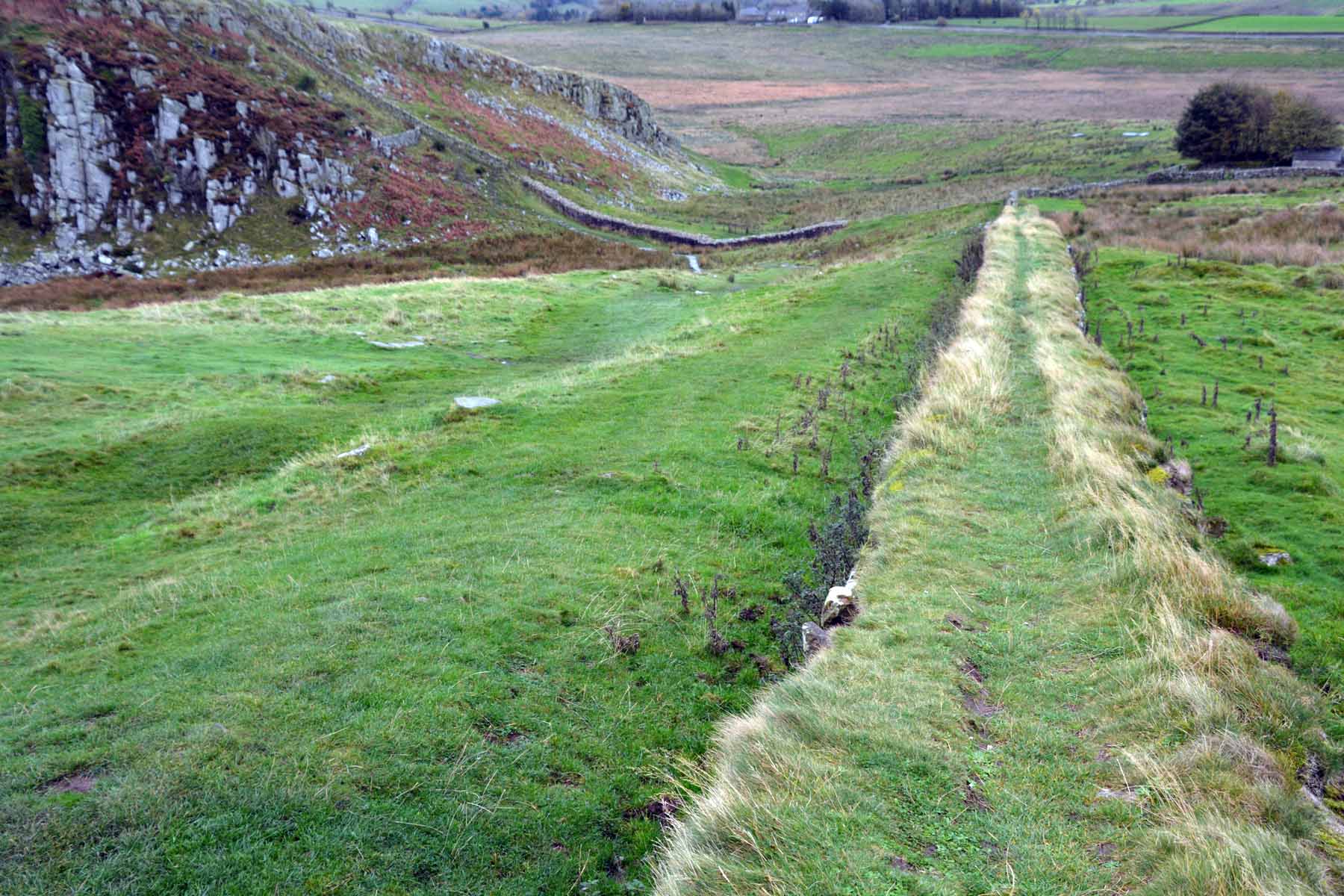
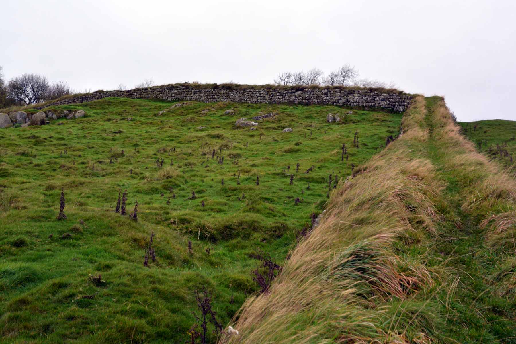
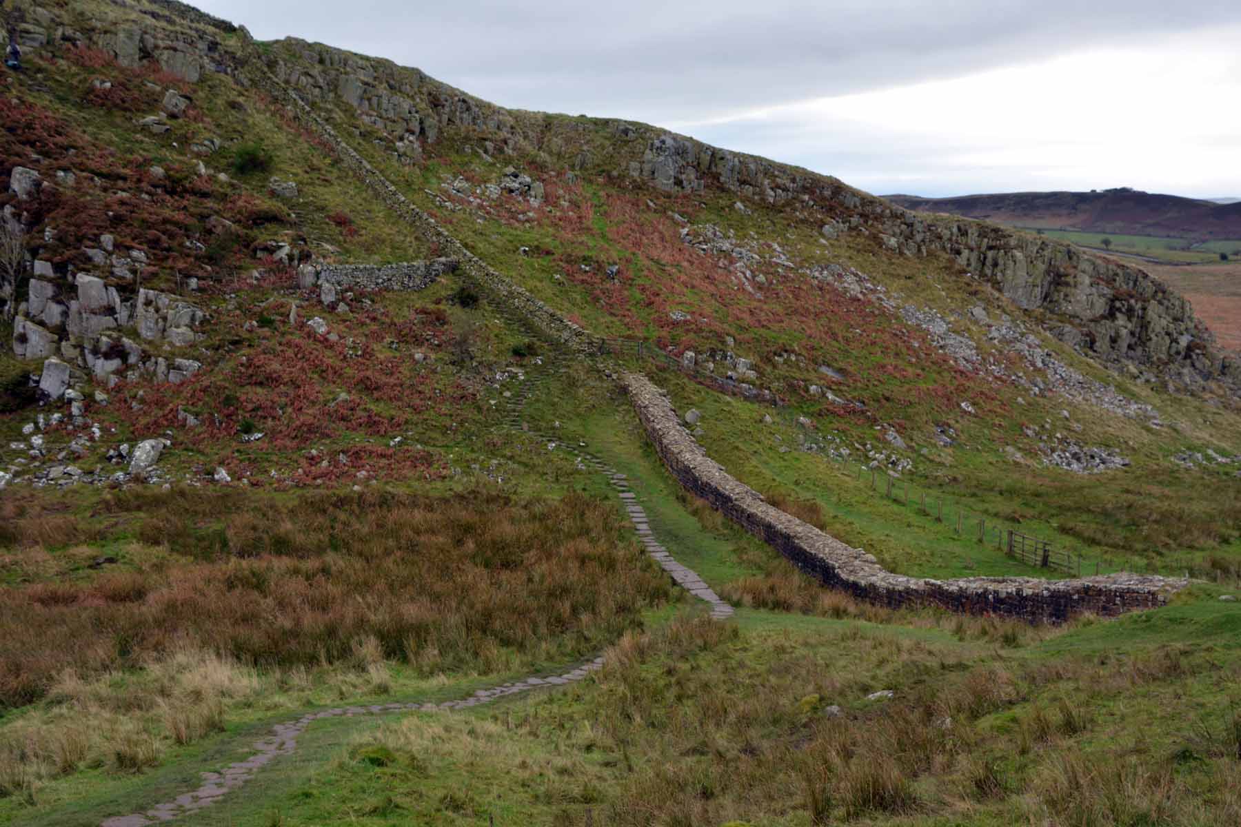
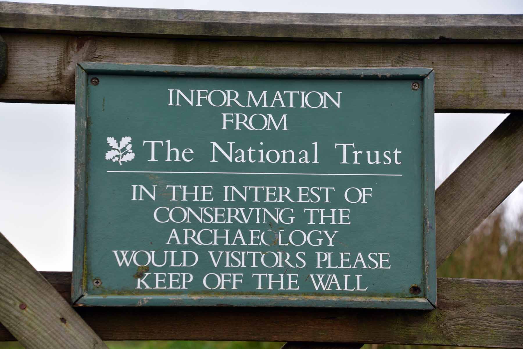
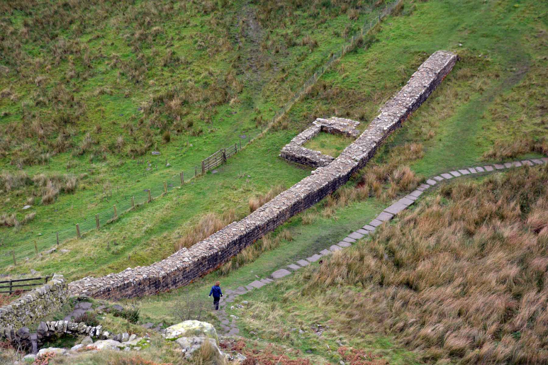
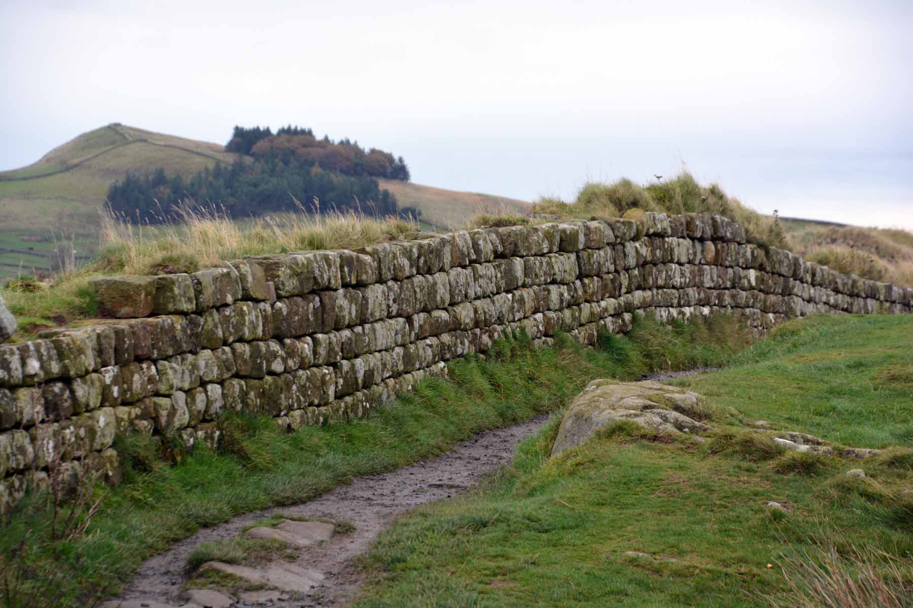
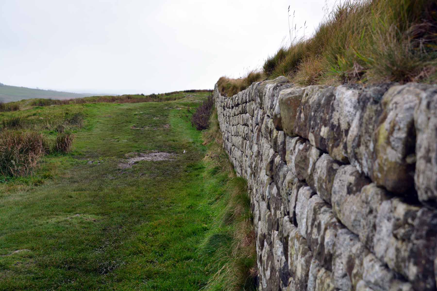
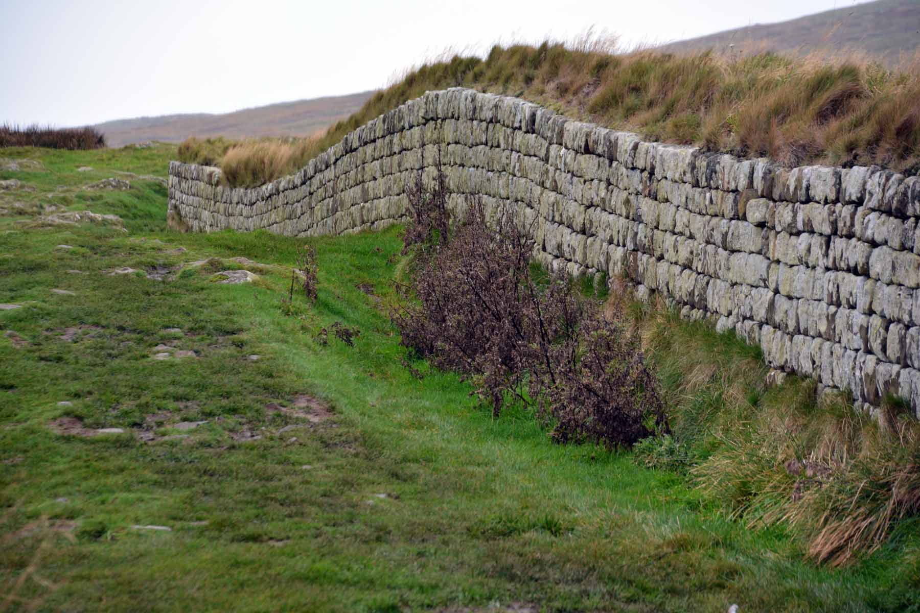
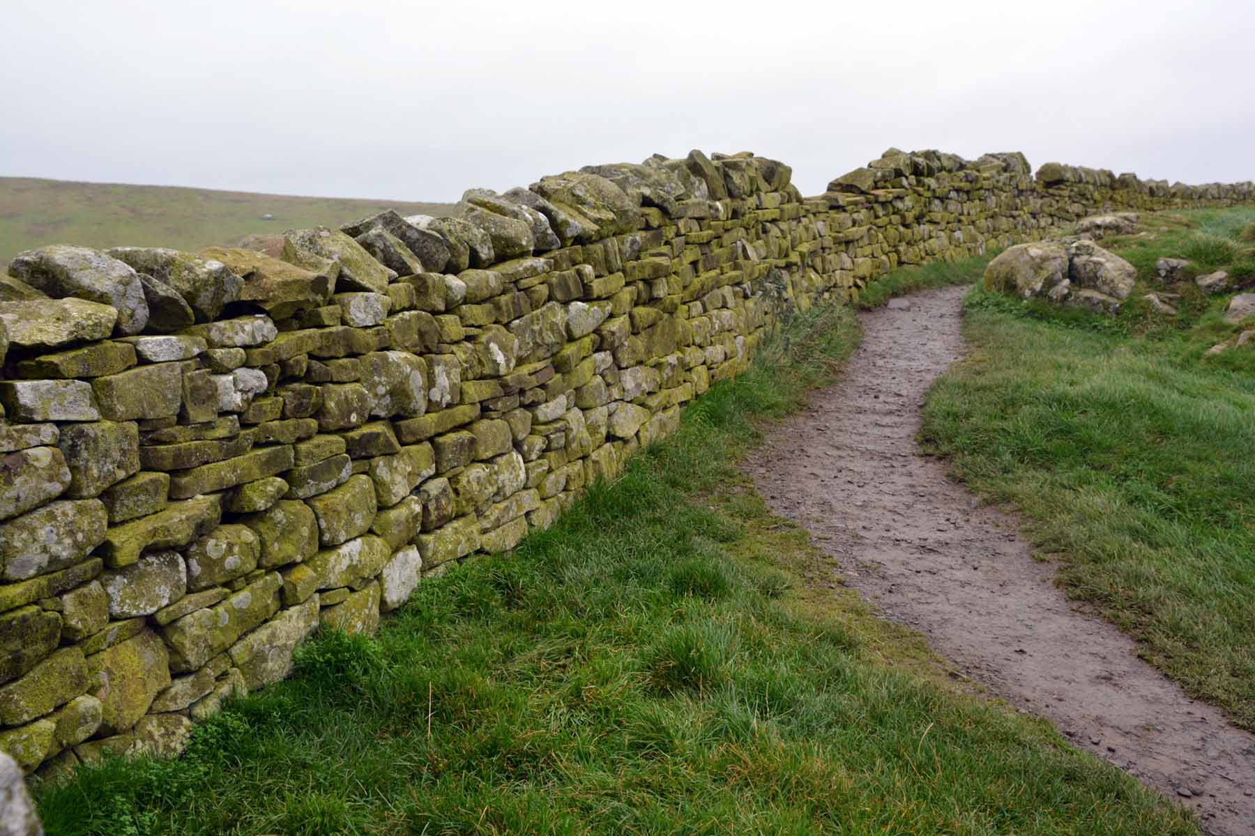
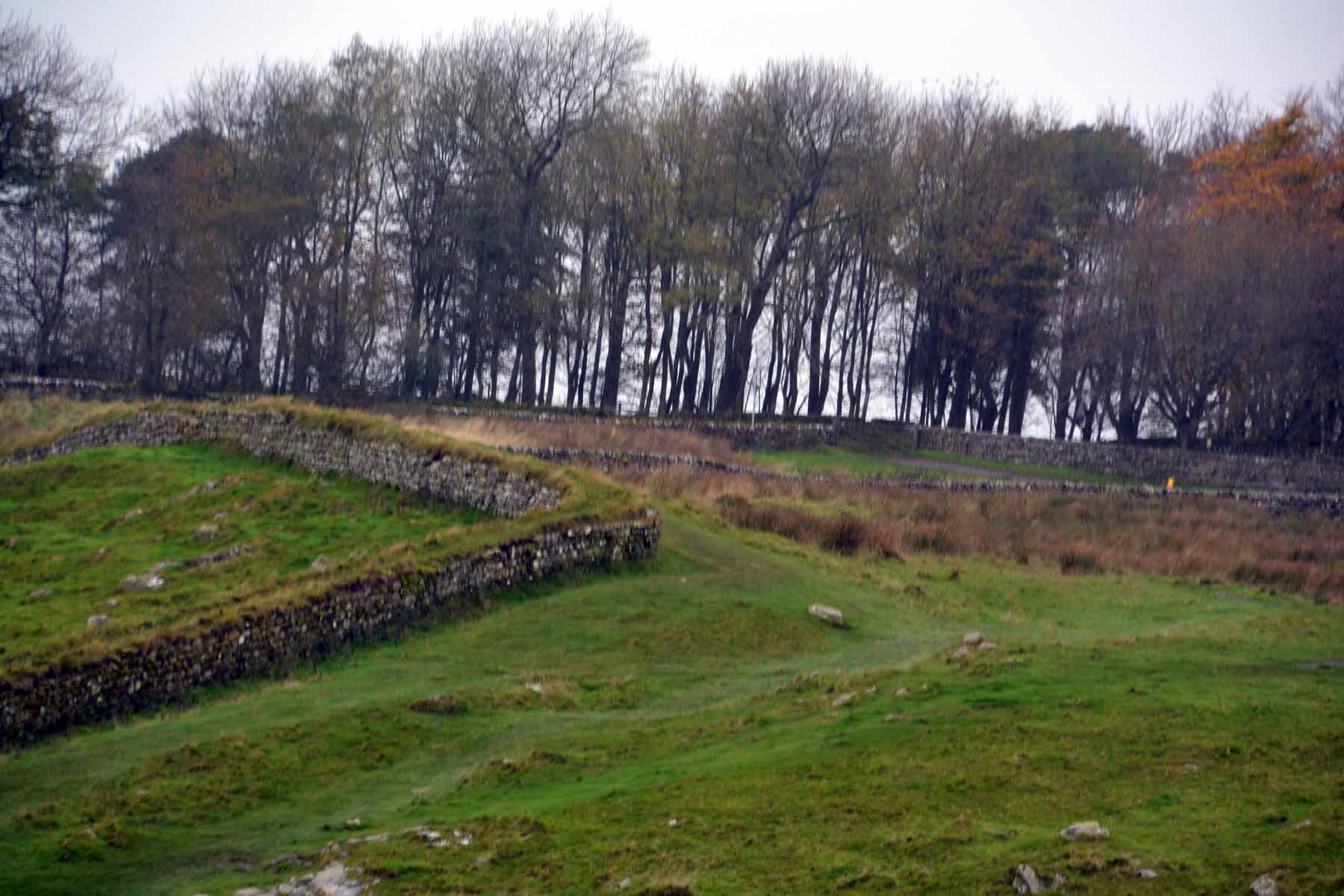
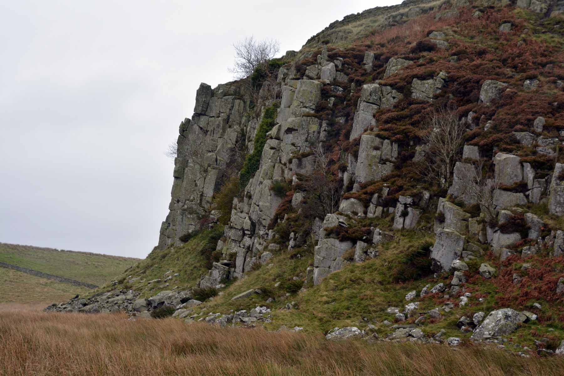
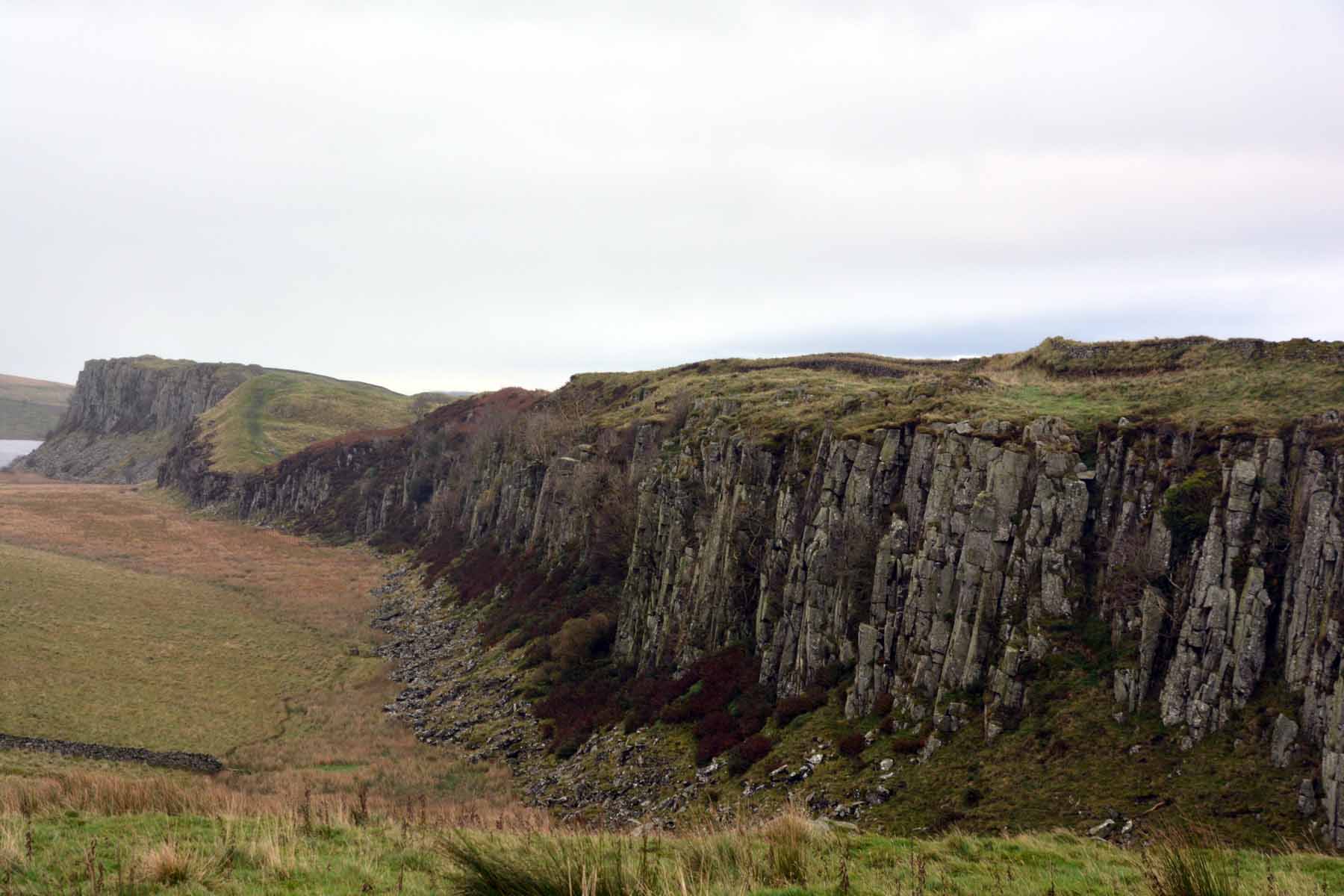
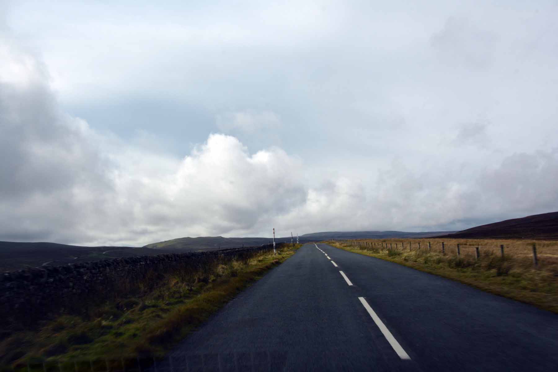
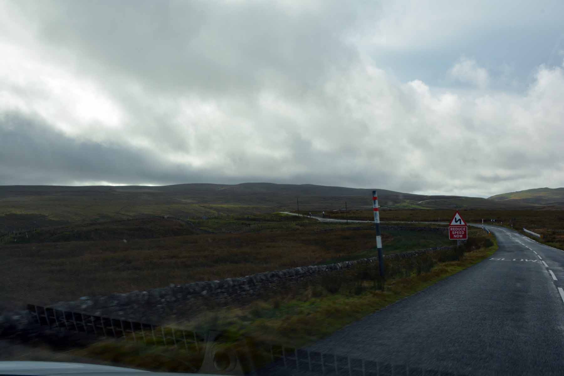
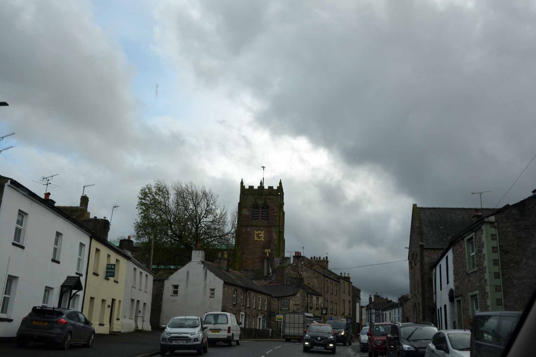
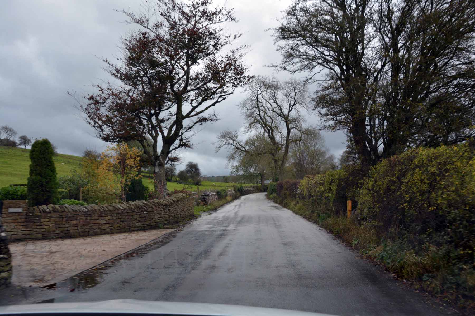
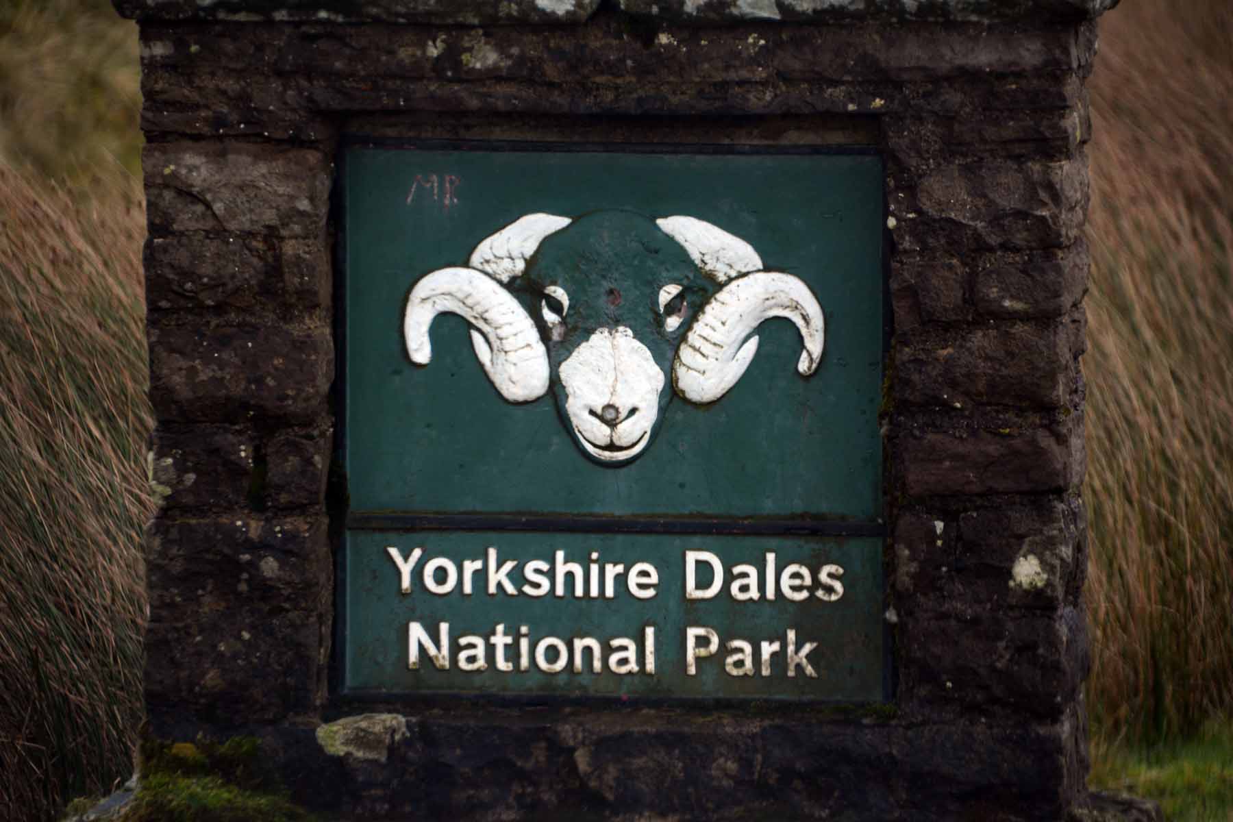
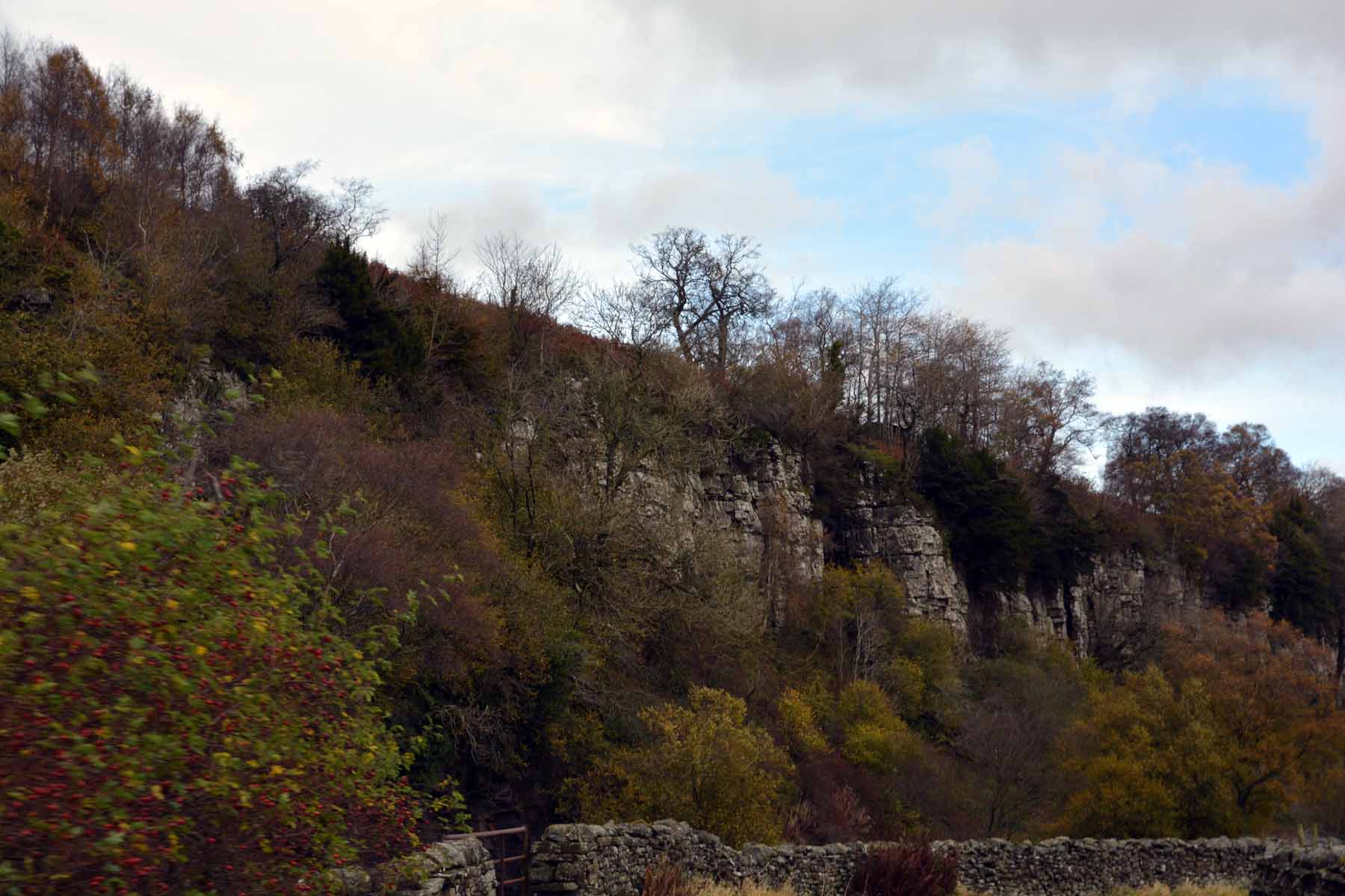
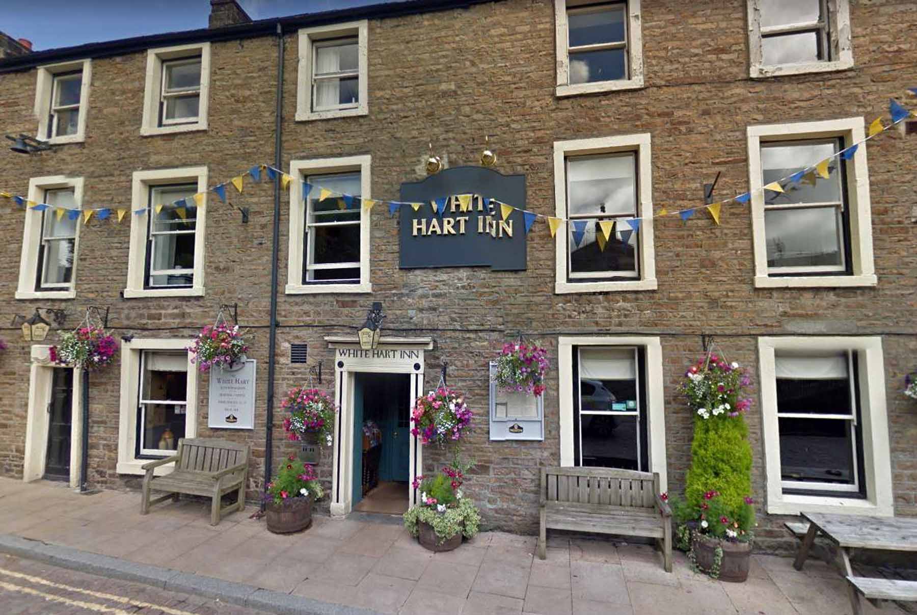
Scotland 2017 - Day 22Hadrian's Wall, The Yorkshire Dales and Buttertubs PassIntroductionThis day proved to be one of seeing the best and worst of England's country roads. We headed west from Newcastle into the Pennines to see another section of Hadrian's Wall and then motored south over the Yorkshire dales. The road, although asphalt, was narrow, winding and very bumpy. There was very little traffic, in fact we drove whole sections from one village to the next without seeing a vehicle travelling either way. Even in the cloudy overcast conditions the views were superb. Eventually we reached the tiny village of Thwaites and turned south for the final leg over Buttertubs Pass to Hawes. This last part has often been described as "the best drive in Britain". Perhaps it is. The road was a noticable improvement over other dales roads, being slightly better graded and with a smooth, good quality asphalt surface. Soon we arrived in Hawes, our stopping place for the night at the White Hart Hotel. Coffee, Steel Rigg and Hadrian's WallWe took the road into the Pennines, planning to pass through the village of Chollerford. Just before the village we found that the bridge over the River Tyne was closed for repair and there was a long diversion. We ended up back on the A69, then turned north up Well Bank Road and onto a road that was labelled simply "68". That took us up narrow lanes but eventually we reached the cross-roads with the B6318 (our original destination, at a locality known as "Once Brewed". The origin of the name is lost, but some enterprising locals have started up a brewery nearby and named it "Twice Brewed". Turning off here takes you up to the Steel Rigg carpark and a walk along the part of Hadrian's Wall where it climbs steeply up and over a prominent rock outcrop known as Crag Lough. Despite the light rain, I walked the section where it climbs steeply, finding out in the process that the tourist photos of the wall here are a fraud. The often-photographed section is not of Hadrian's Wall at all, but a replacement section of typical farming wall. From a distance the difference is difficult to detect.
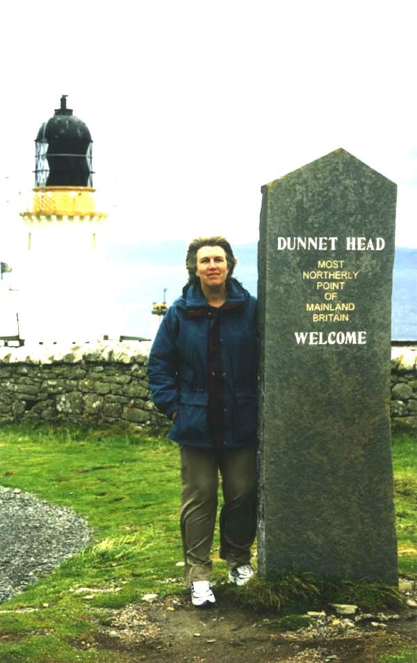
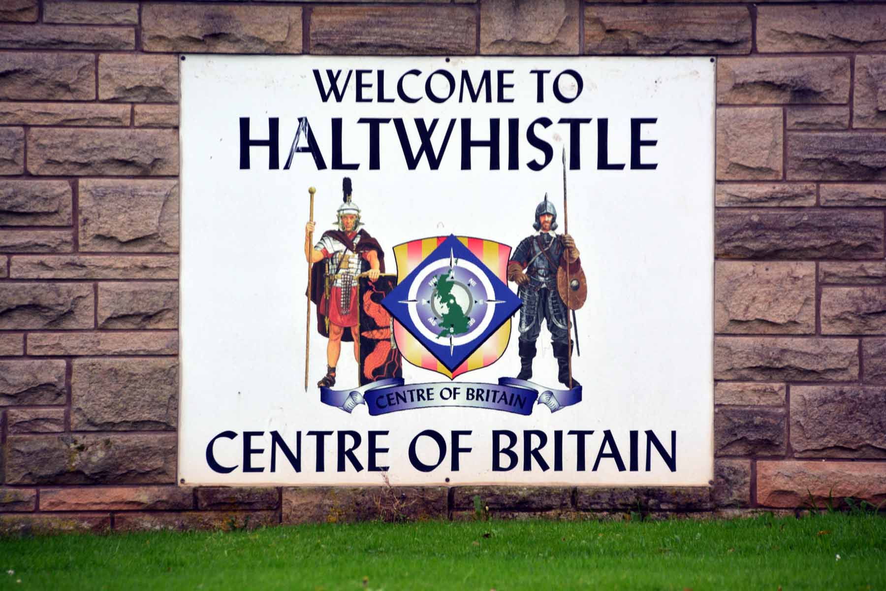
Haltwhistle - the centre of BritainAs we headed south we passed a sign to Haltwhistle - "the Centre of Britain" it said! Of course the geographic centre has no more significance than the most northerly or western point, BUT.... having just collected the set of four cardinal points by visiting Ardnamurchan it was natural to tie them all together by visiting the centre as well. We drove into Haltwhistle, a small market town with narrow streets and no parking, so we abandoned any idea of stopping for coffee (it was probably tasteless anyway - shades of the Fox and the Grapes) photographed the sign and drove on. It turns out that the centre of Britain depends on how you define it. Haltwhistle is mid-way along the mainland’s longest line of longitude. The Ordnance Survey has a good article on this problem. Anyway, here is our collection of the five geographic locations.
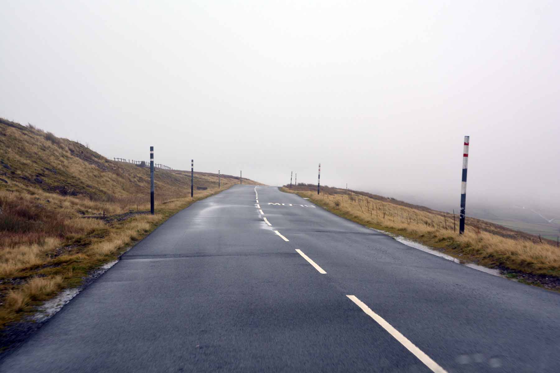
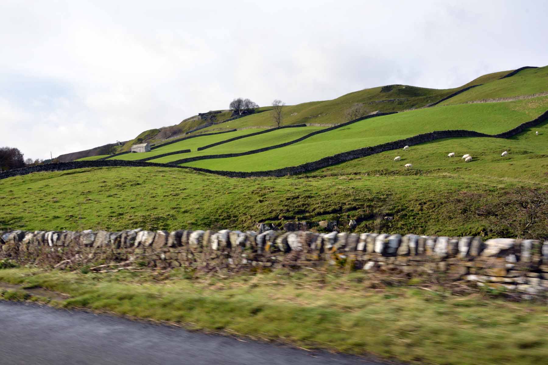
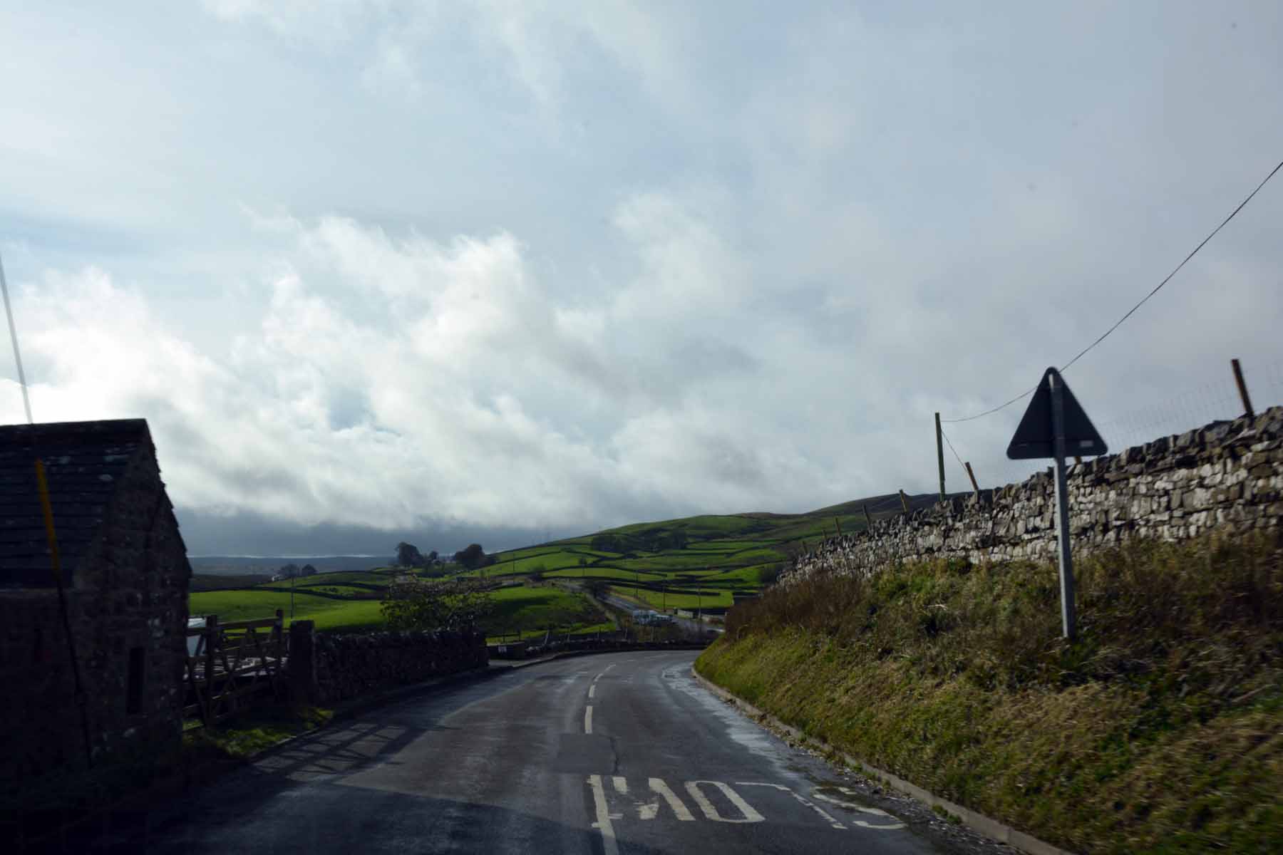
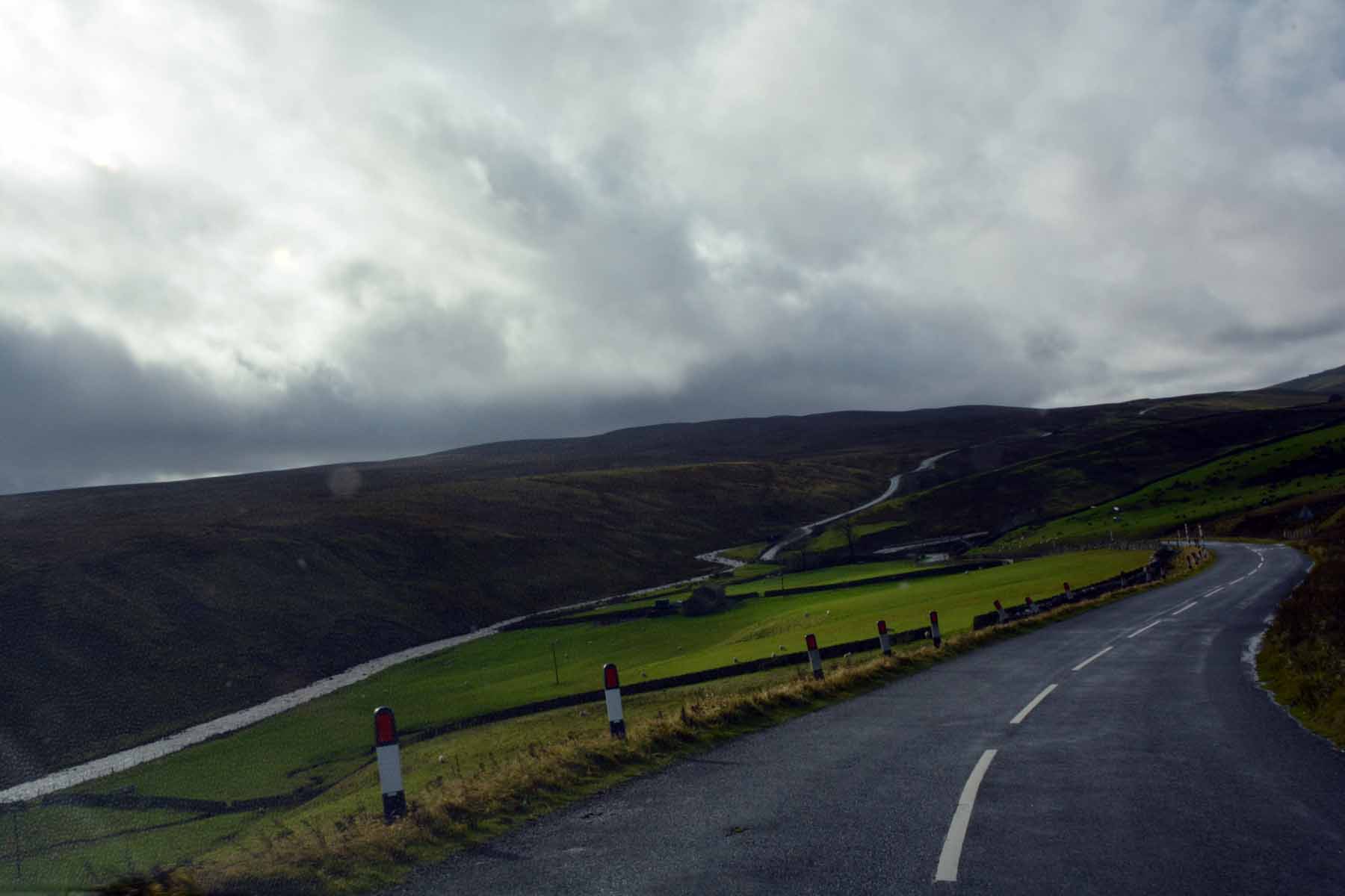
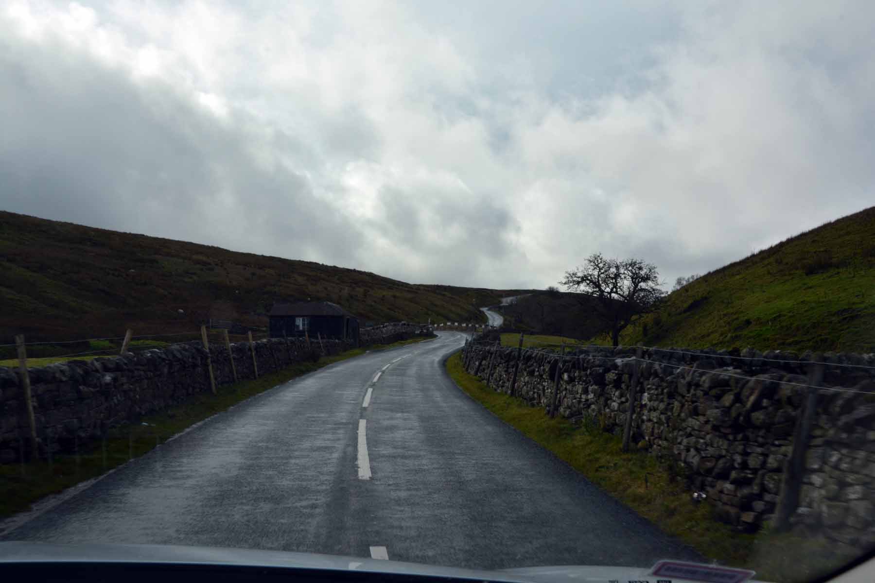
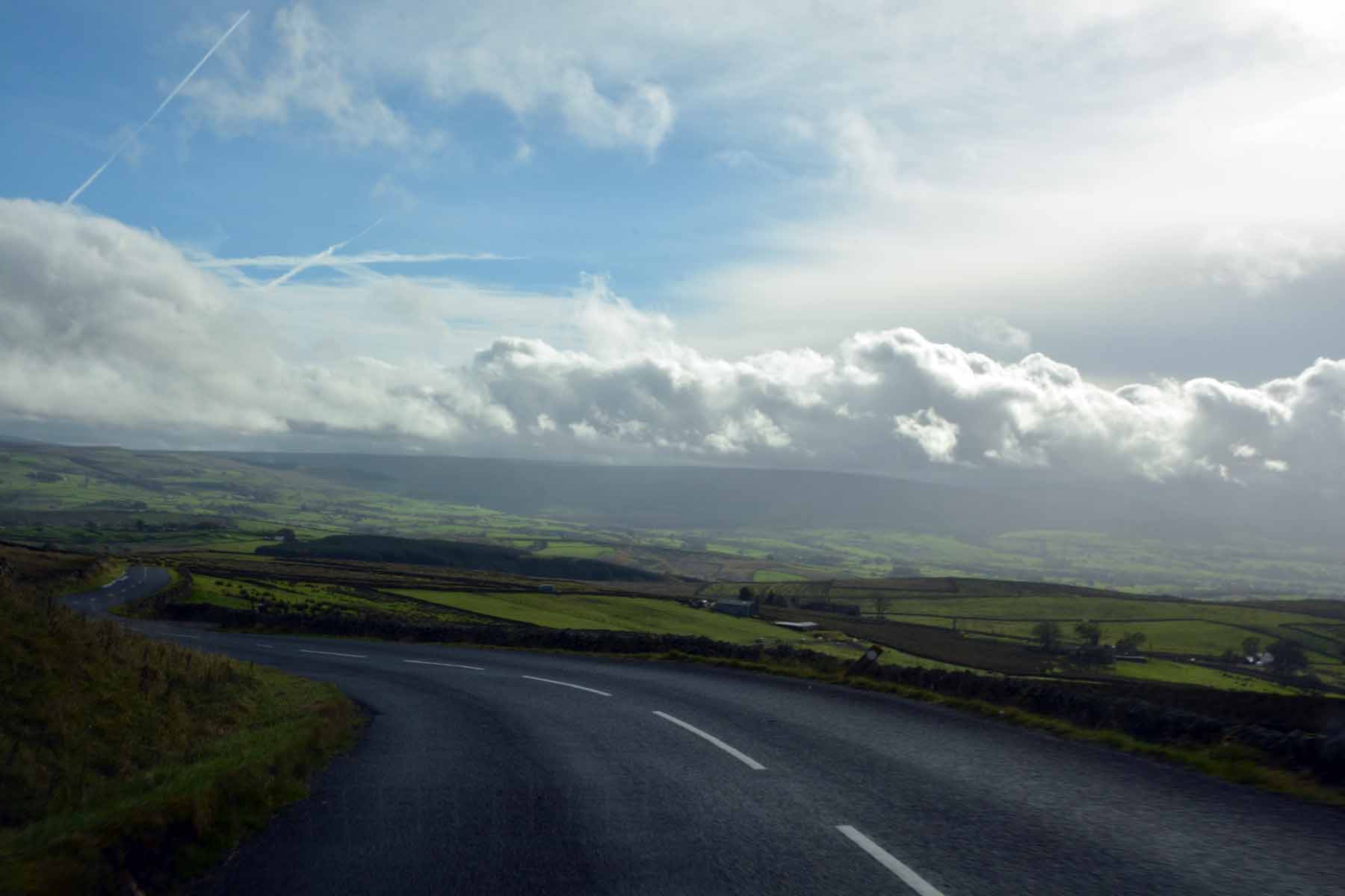
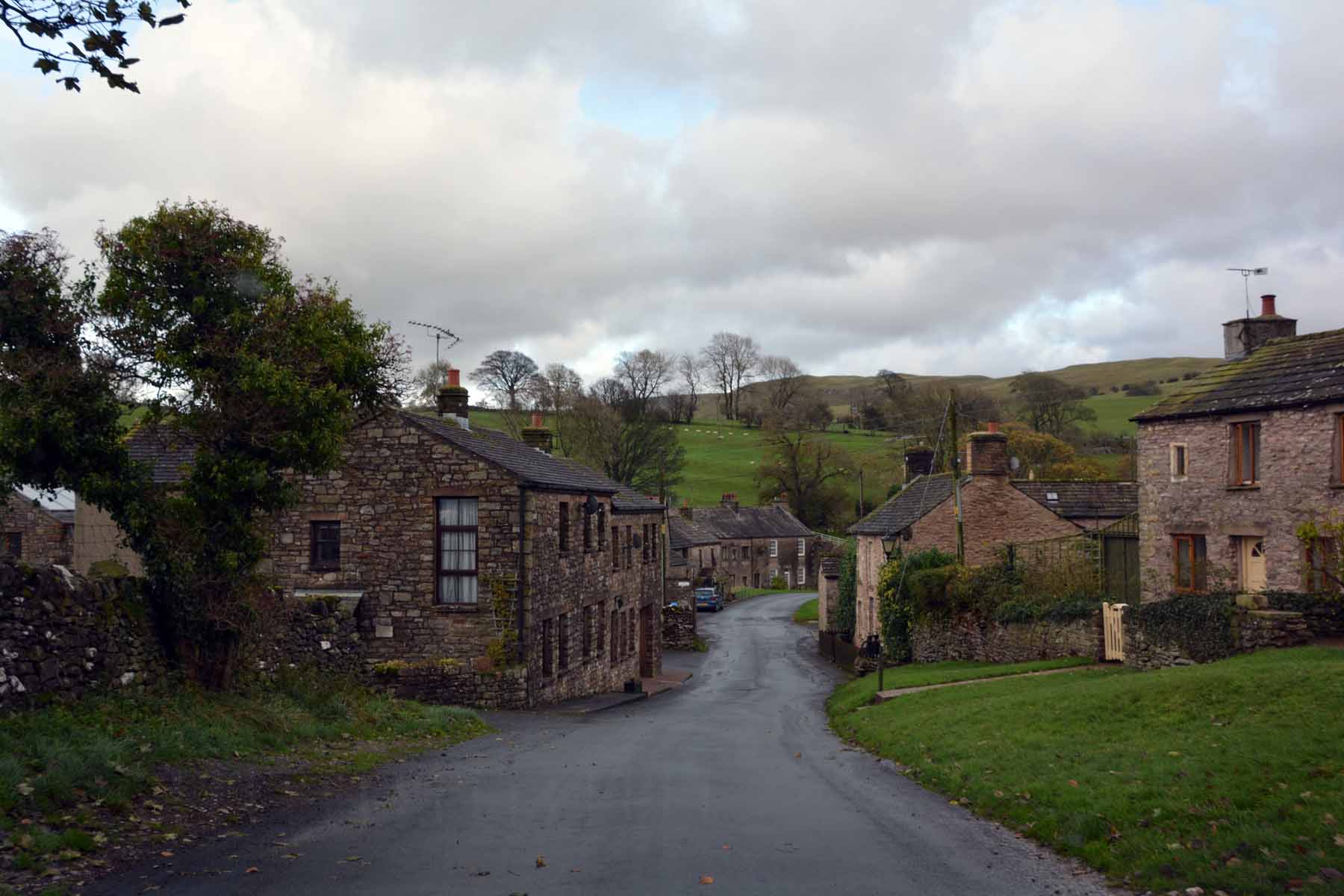
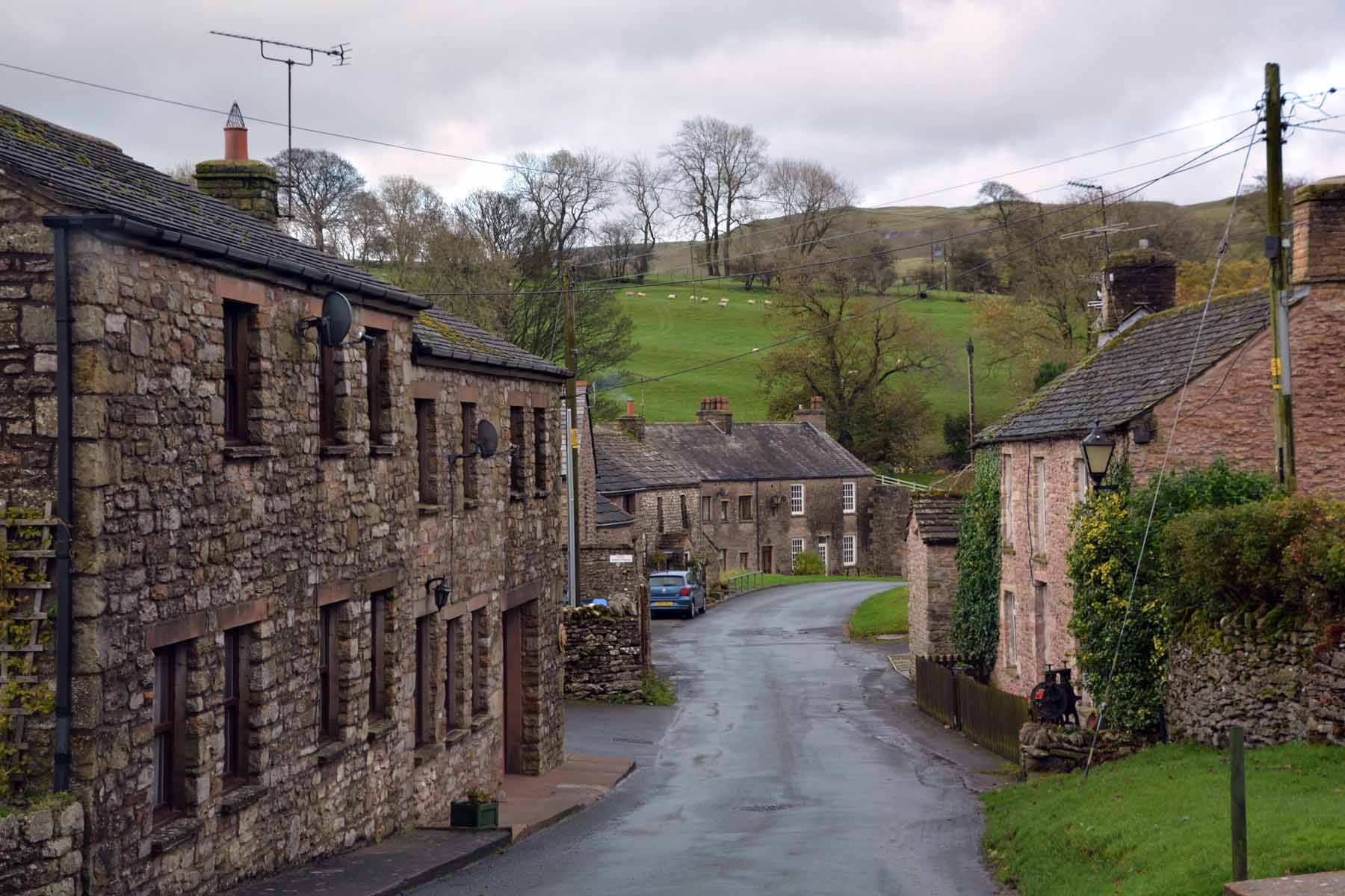
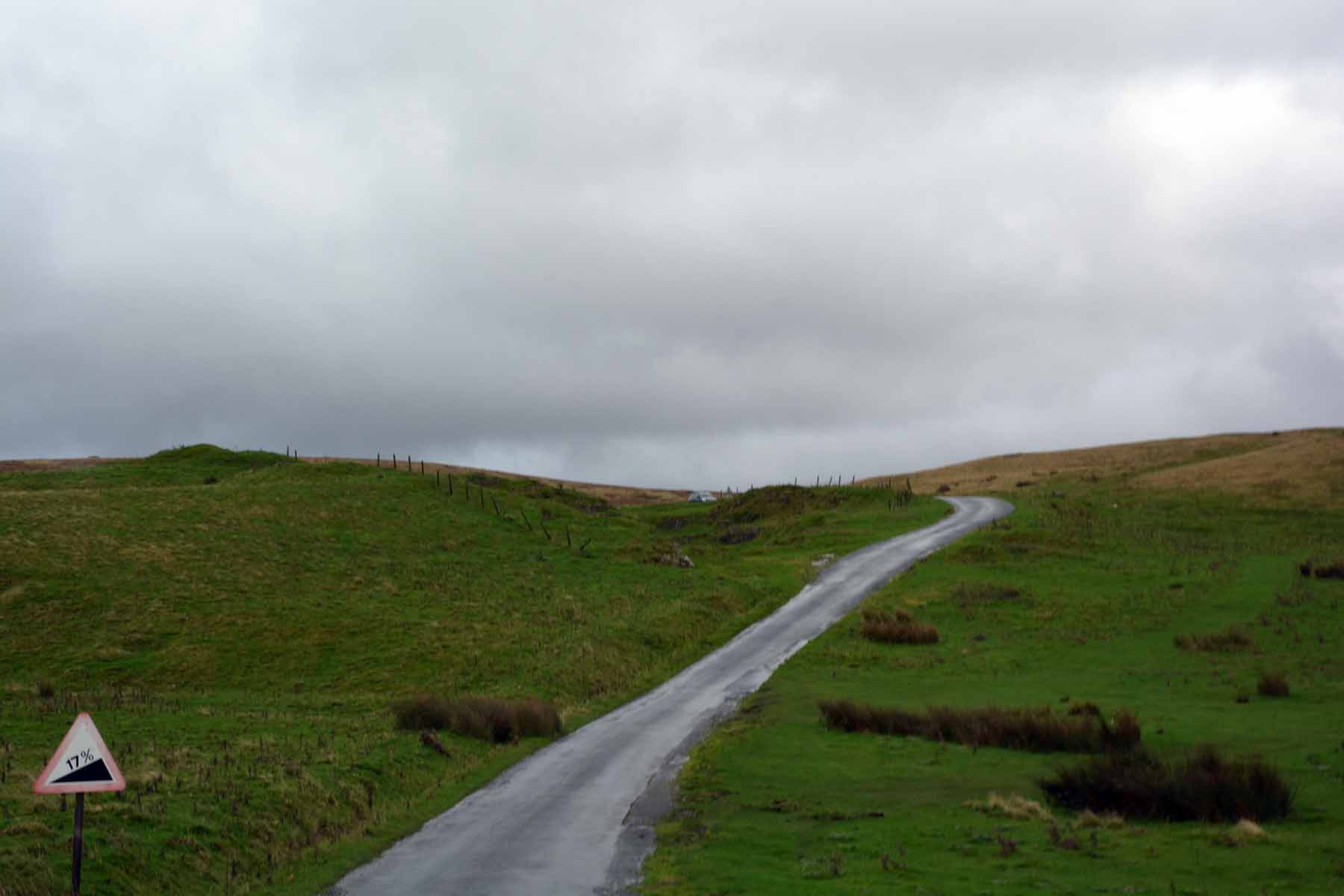
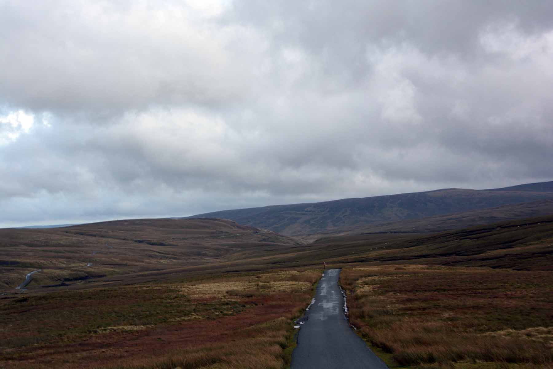
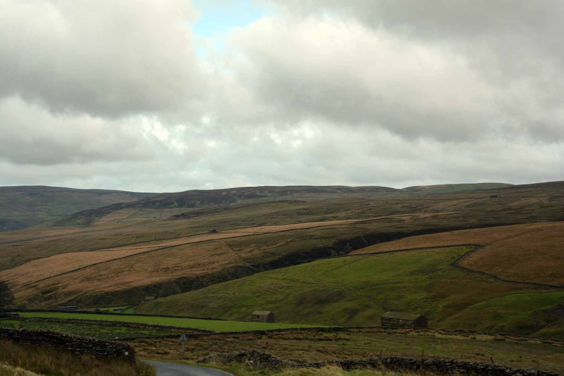
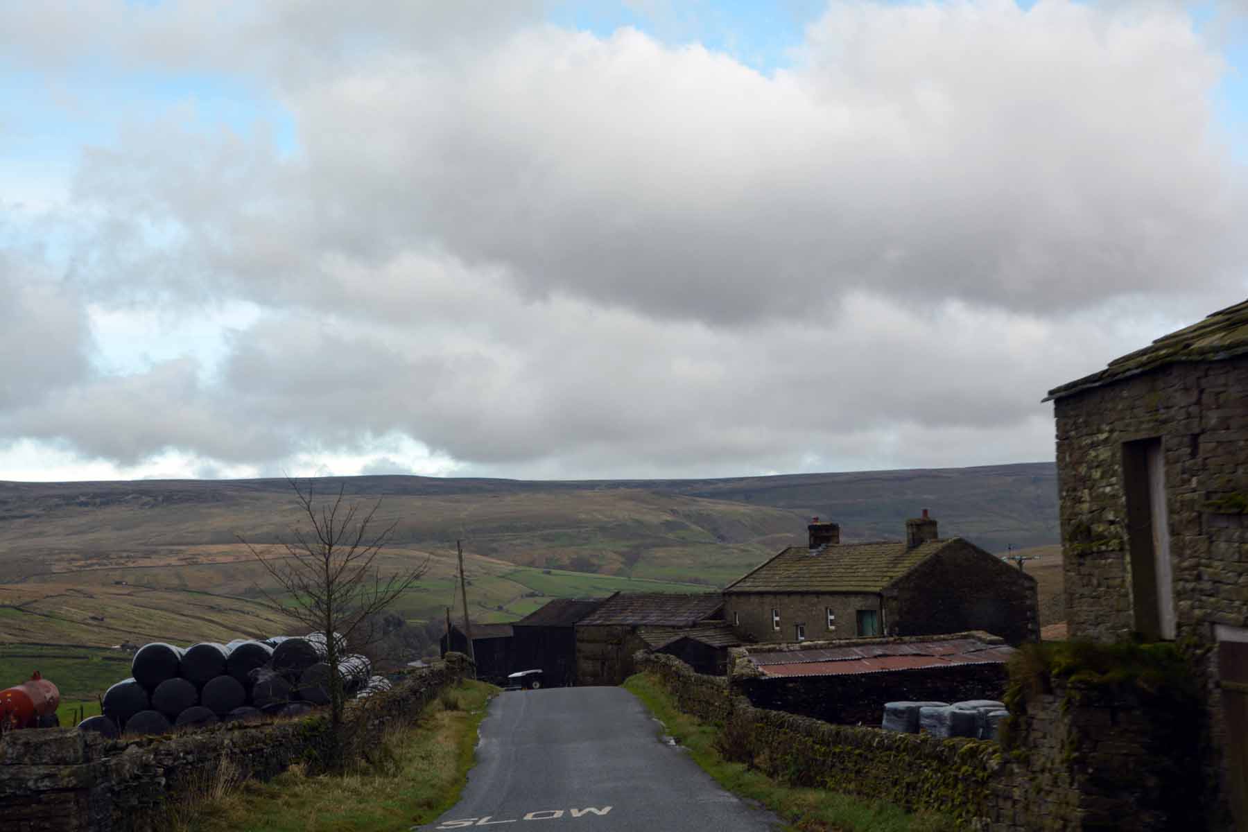
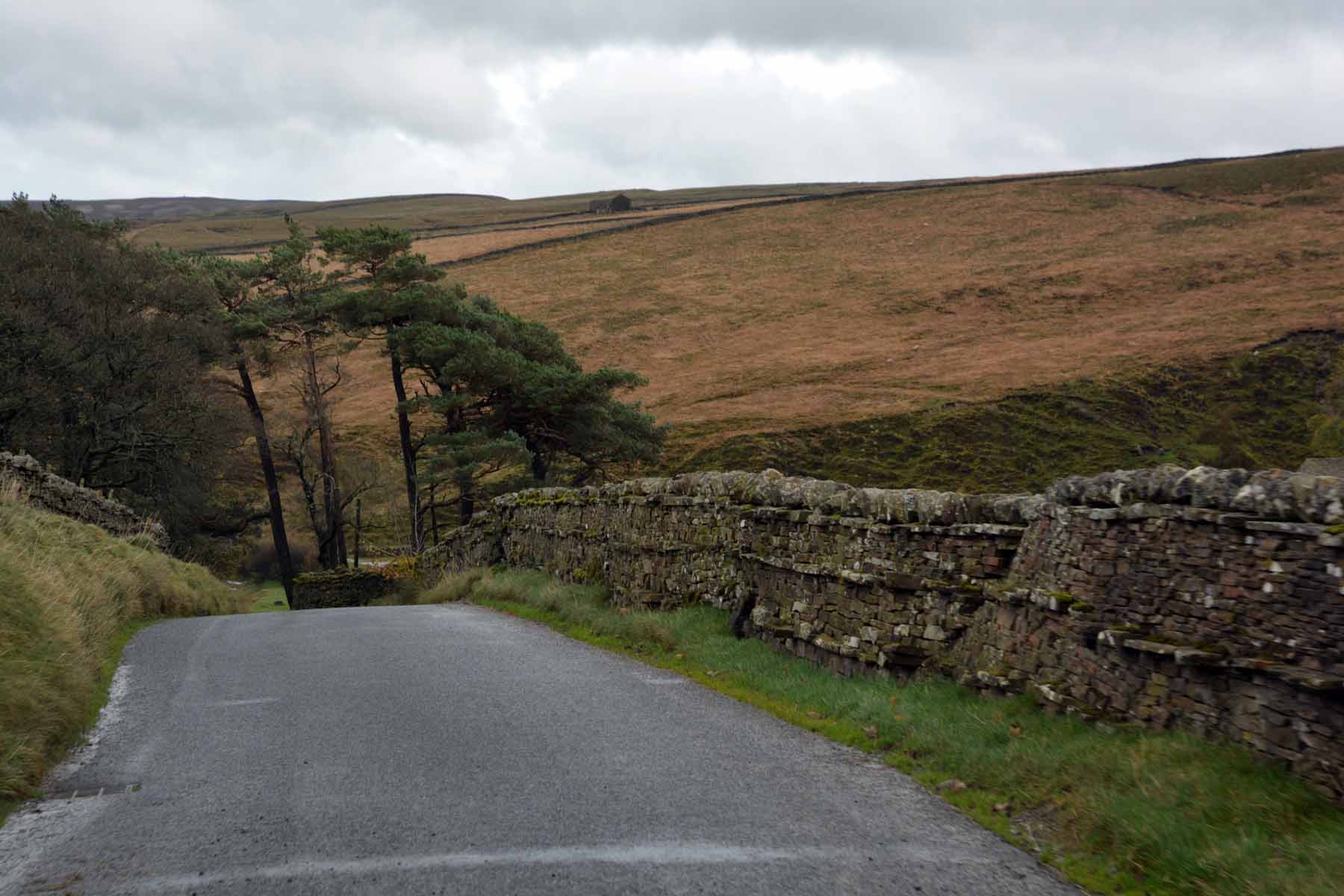
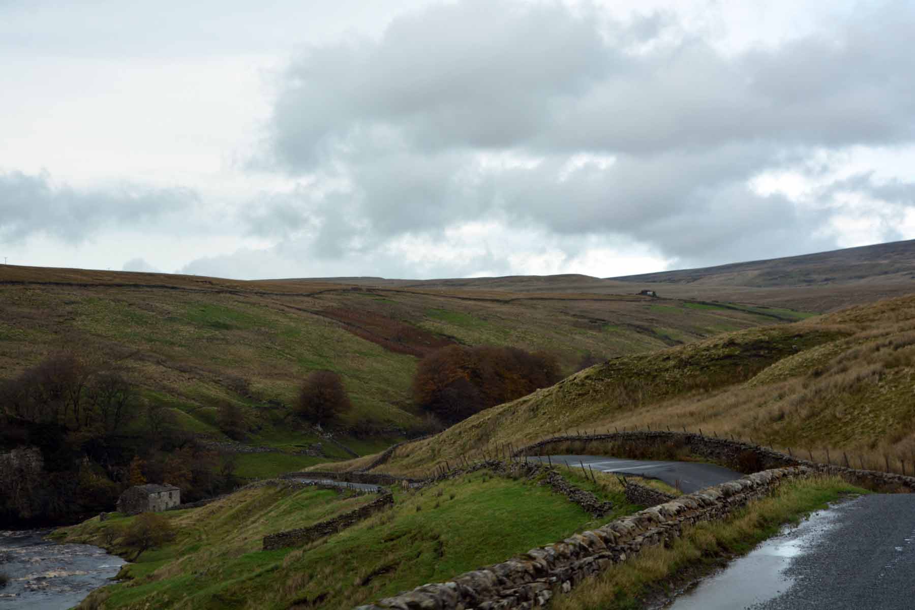
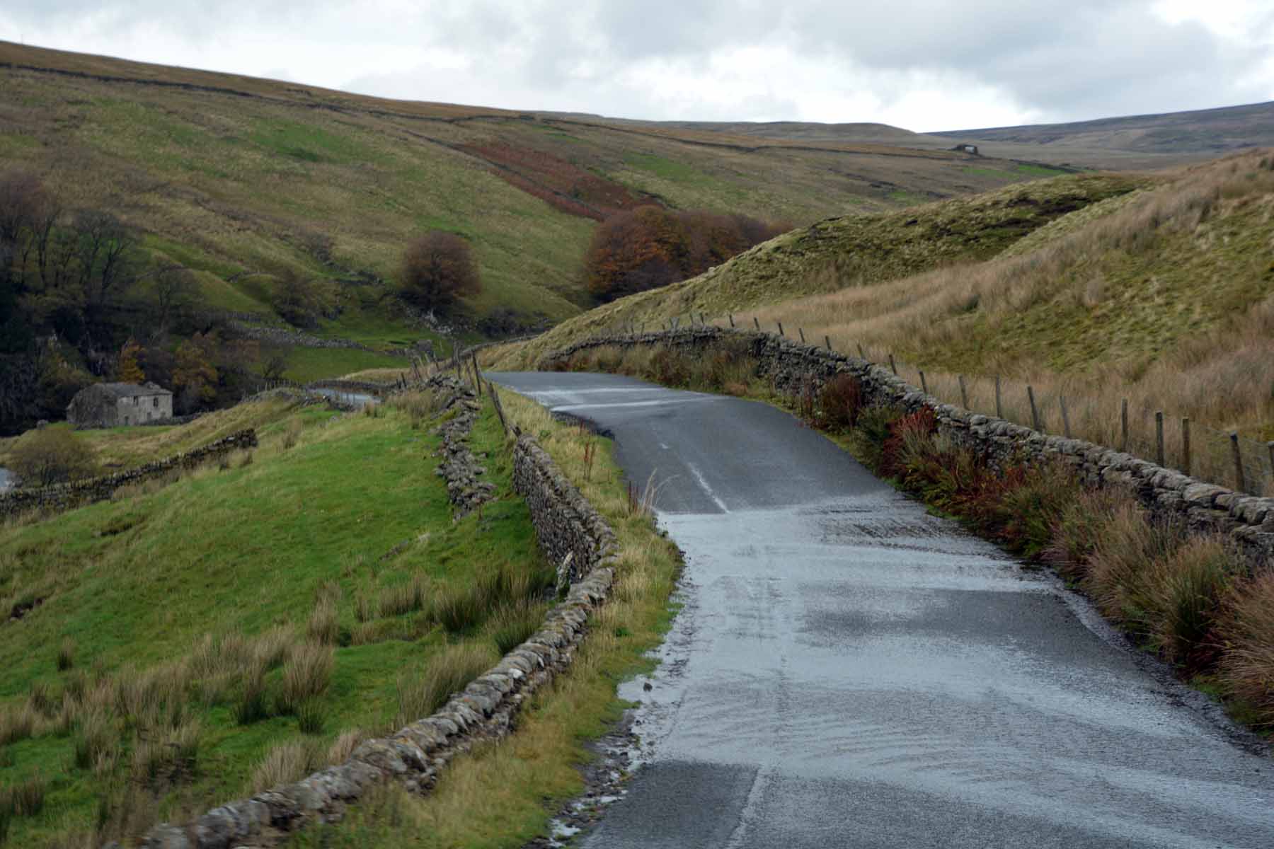
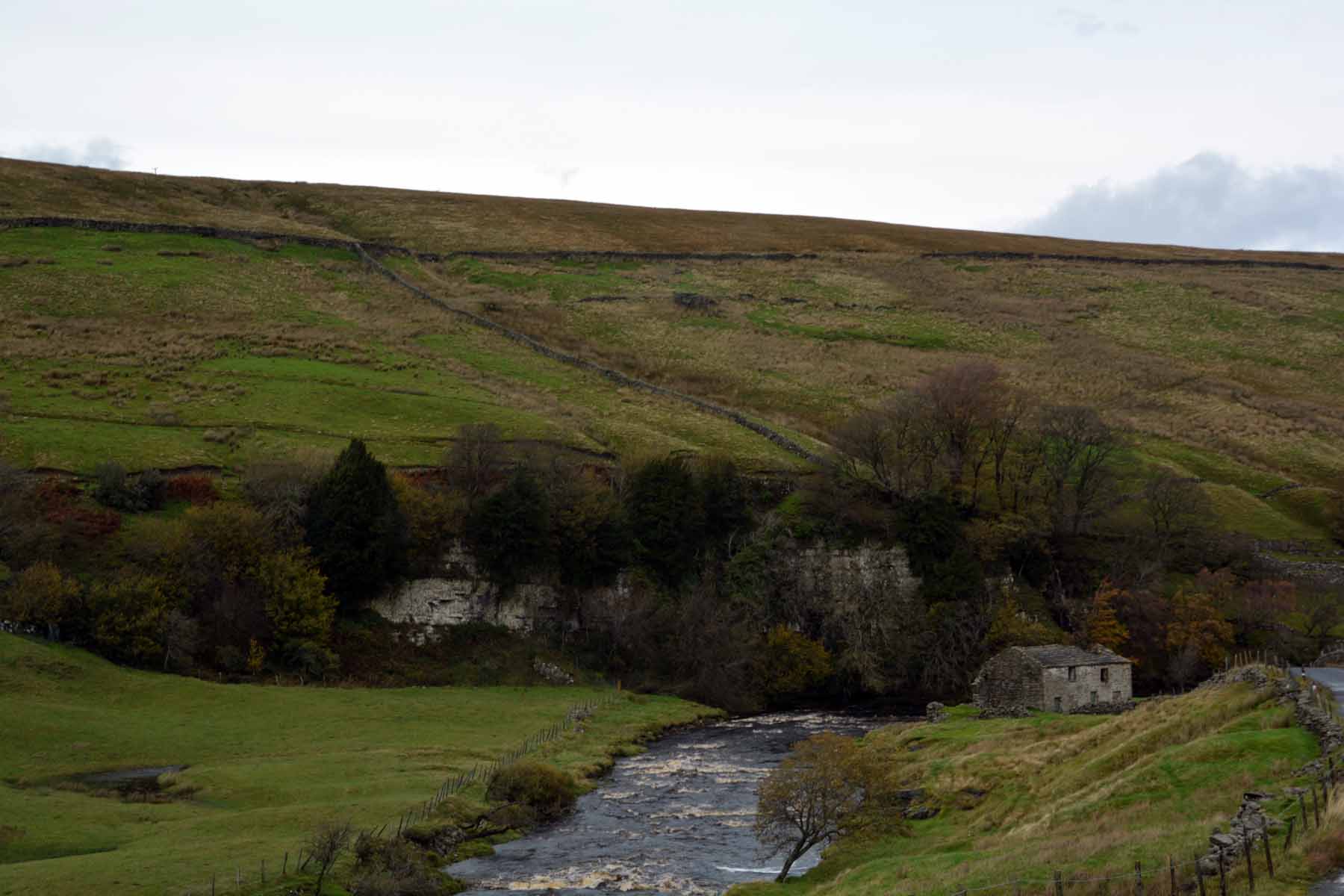
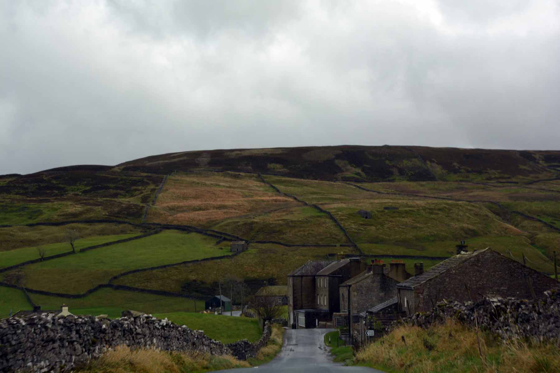
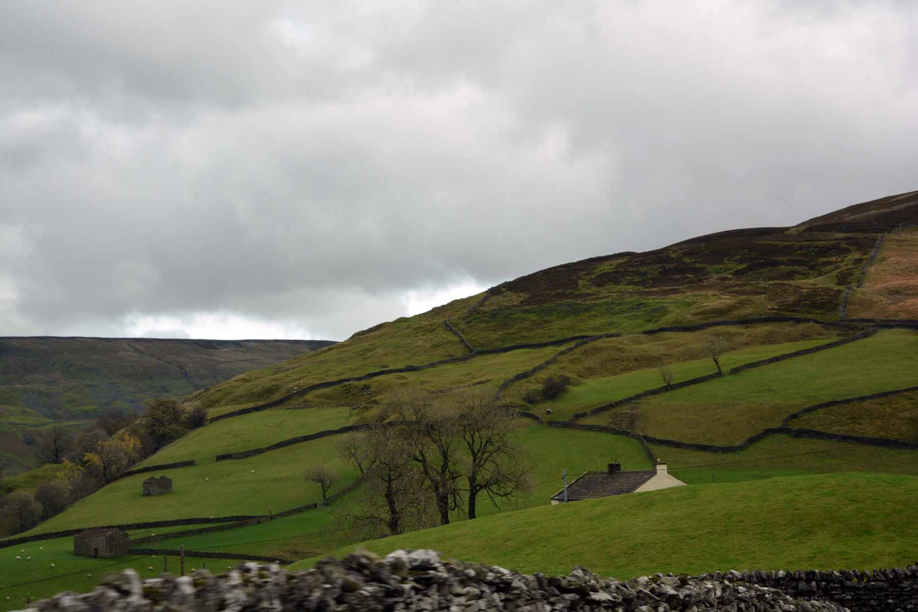
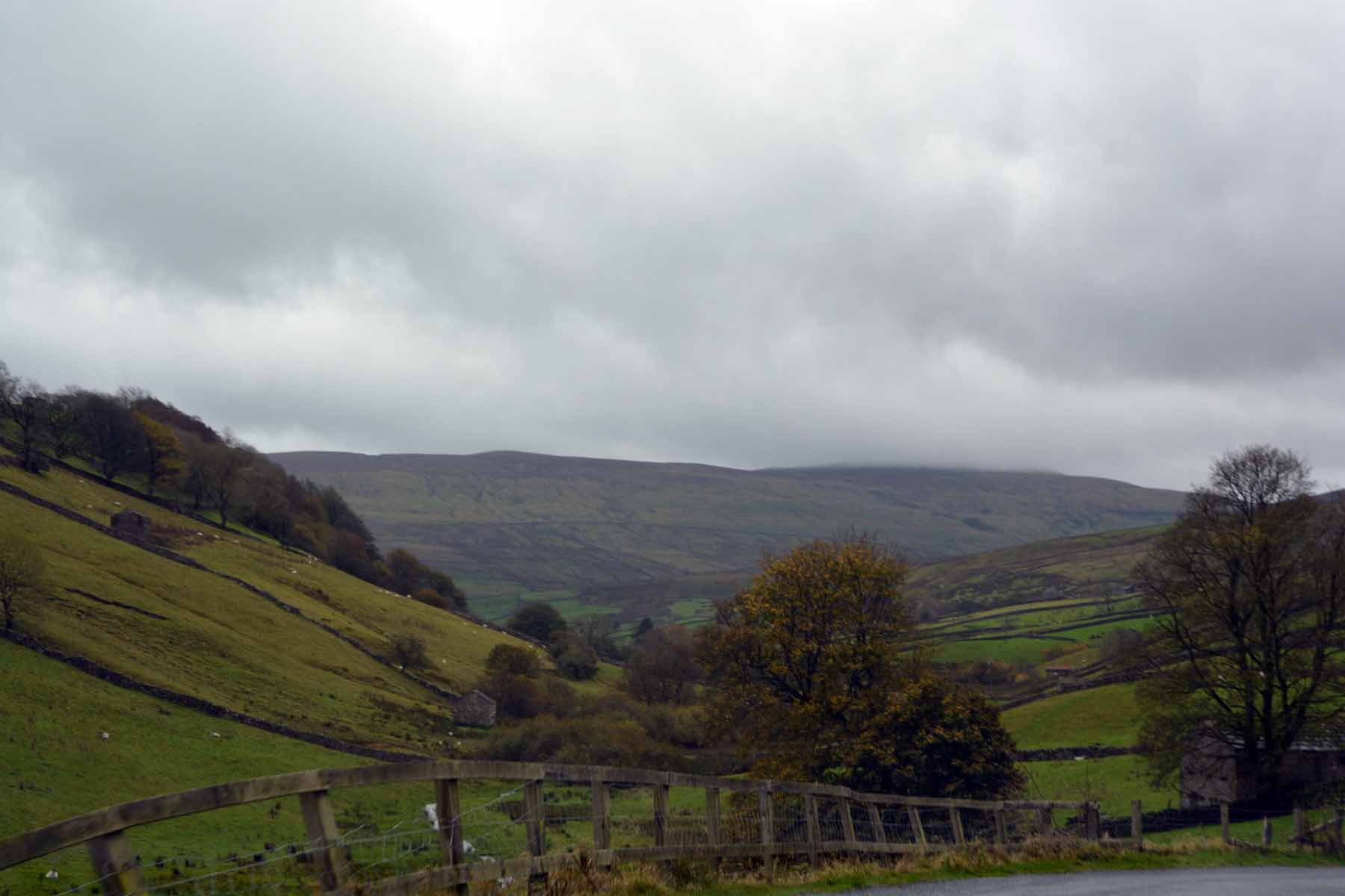
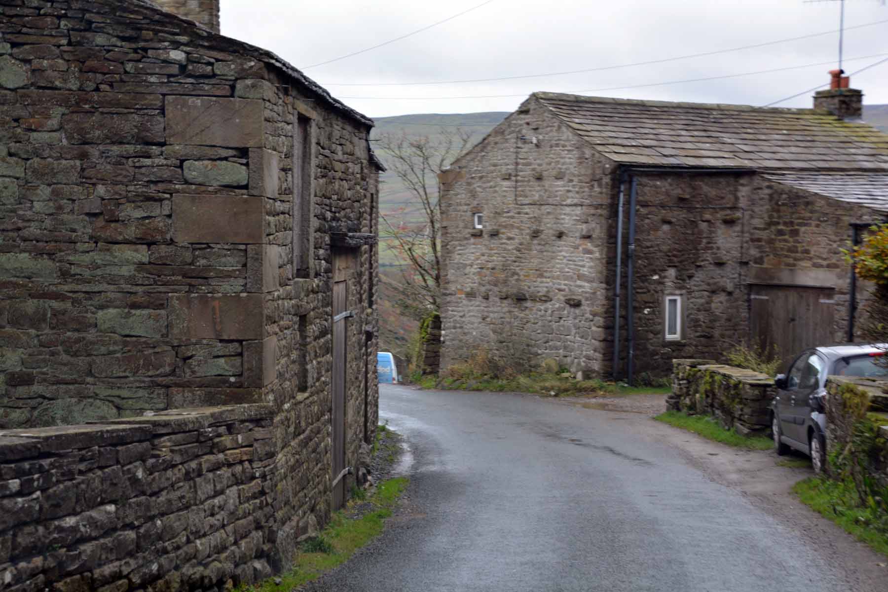
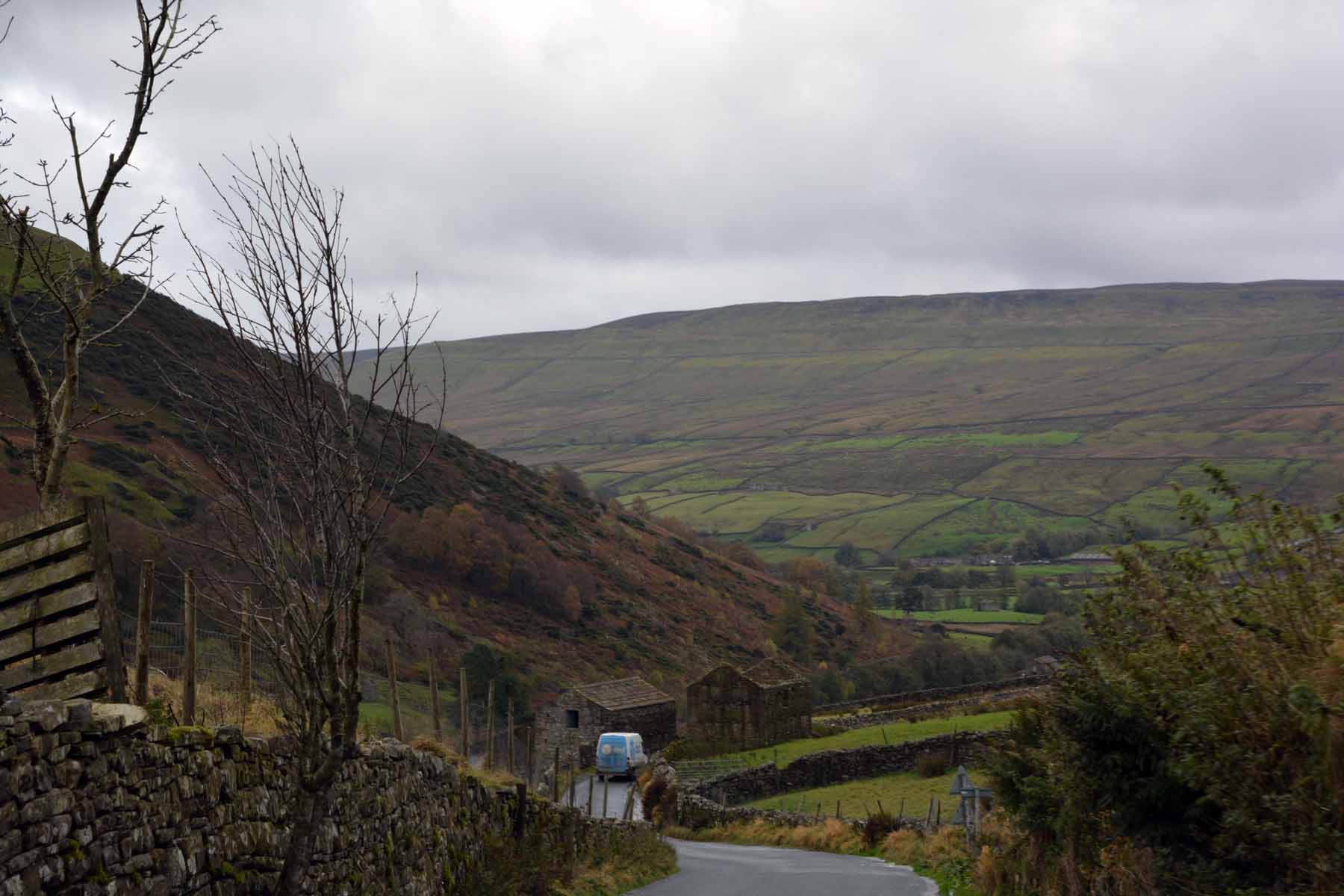
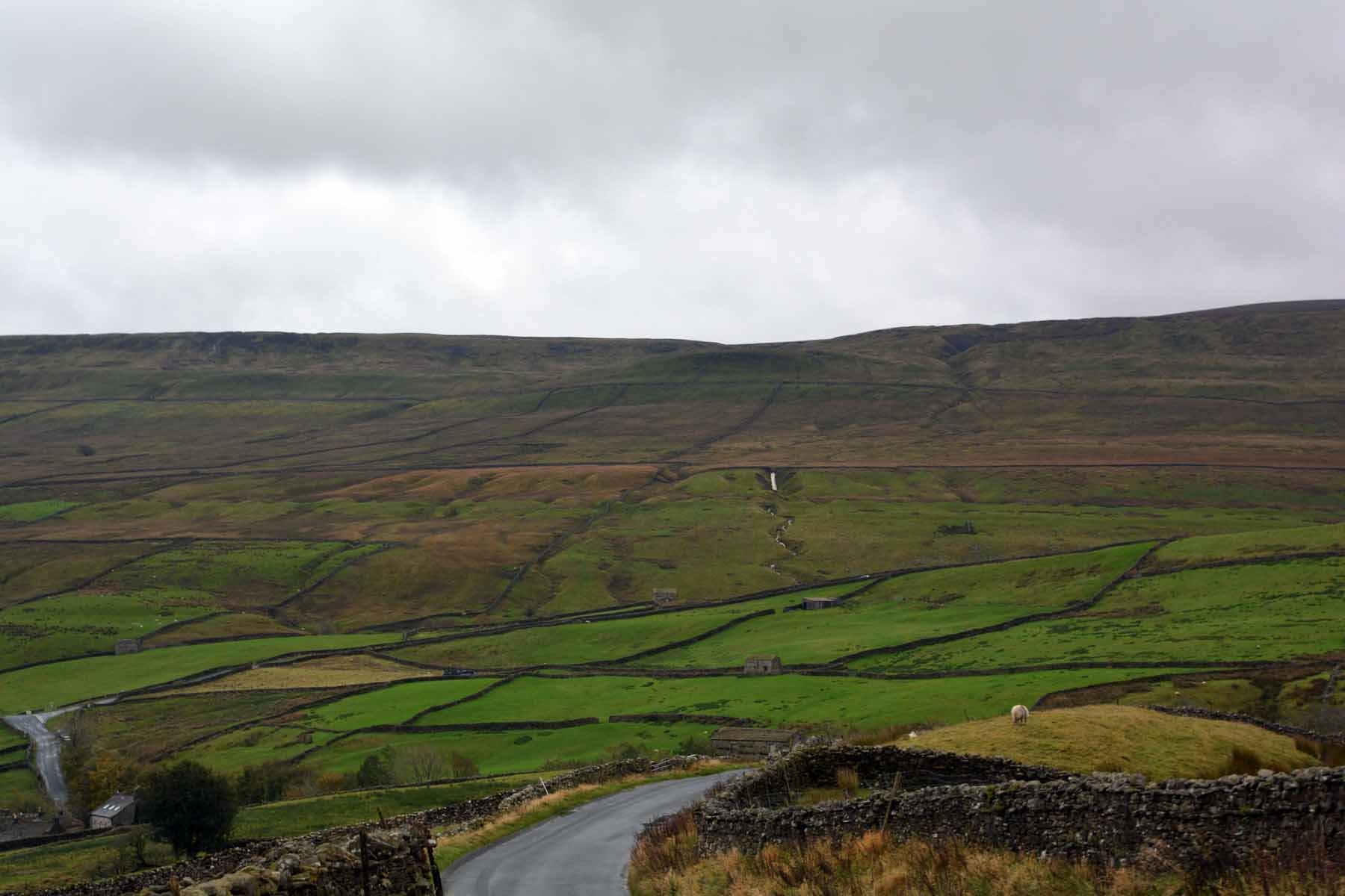
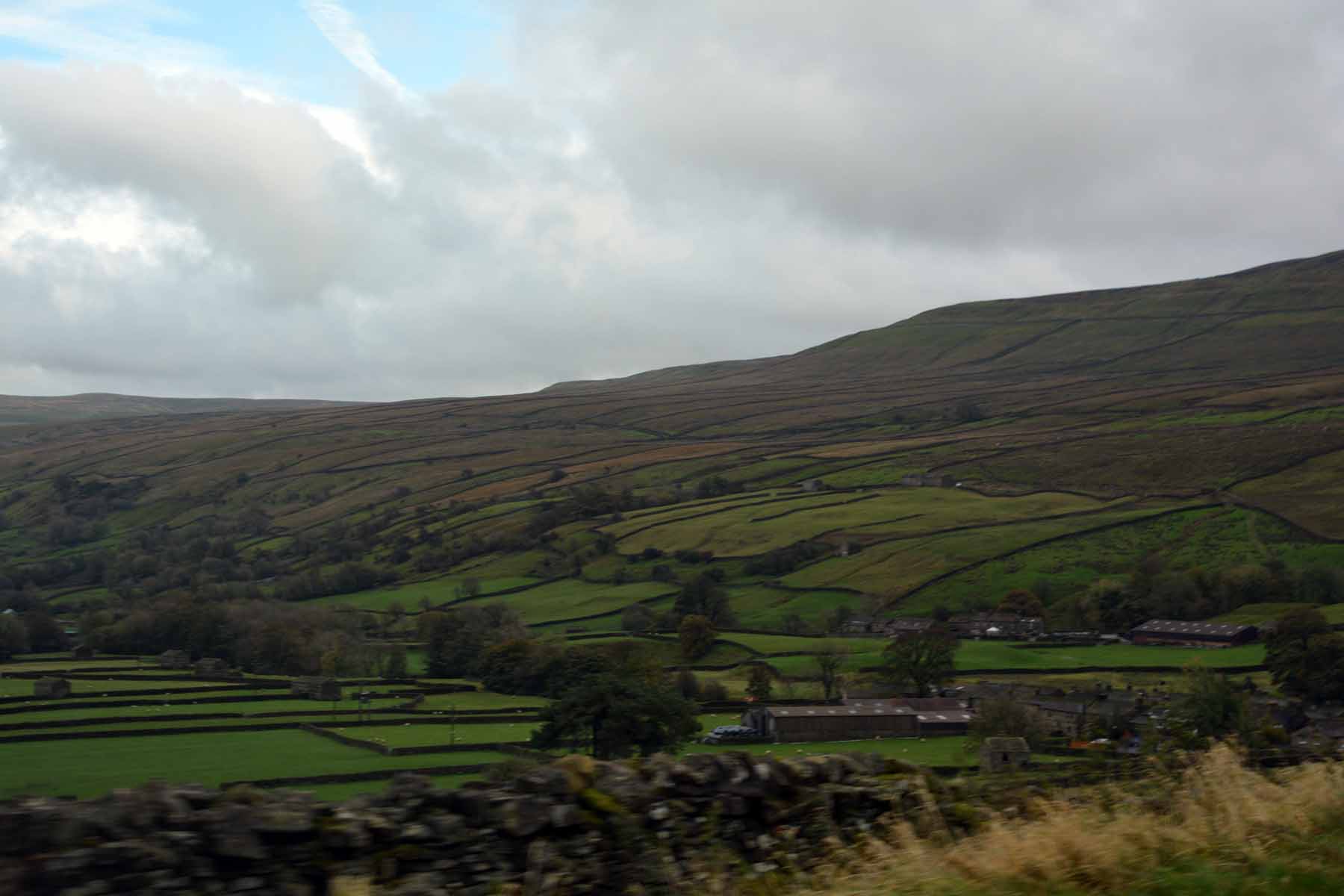
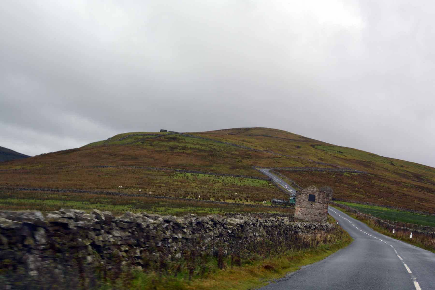
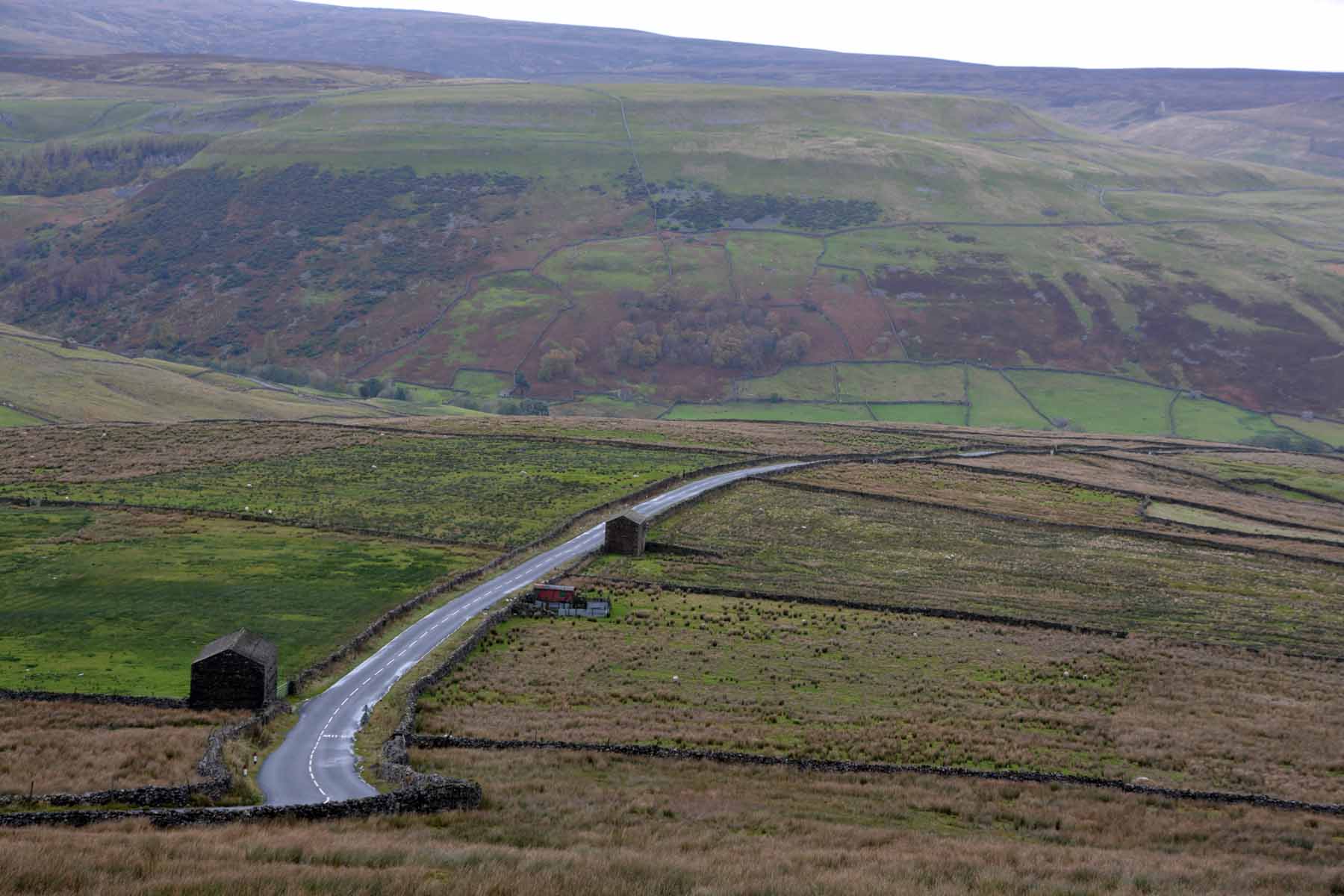
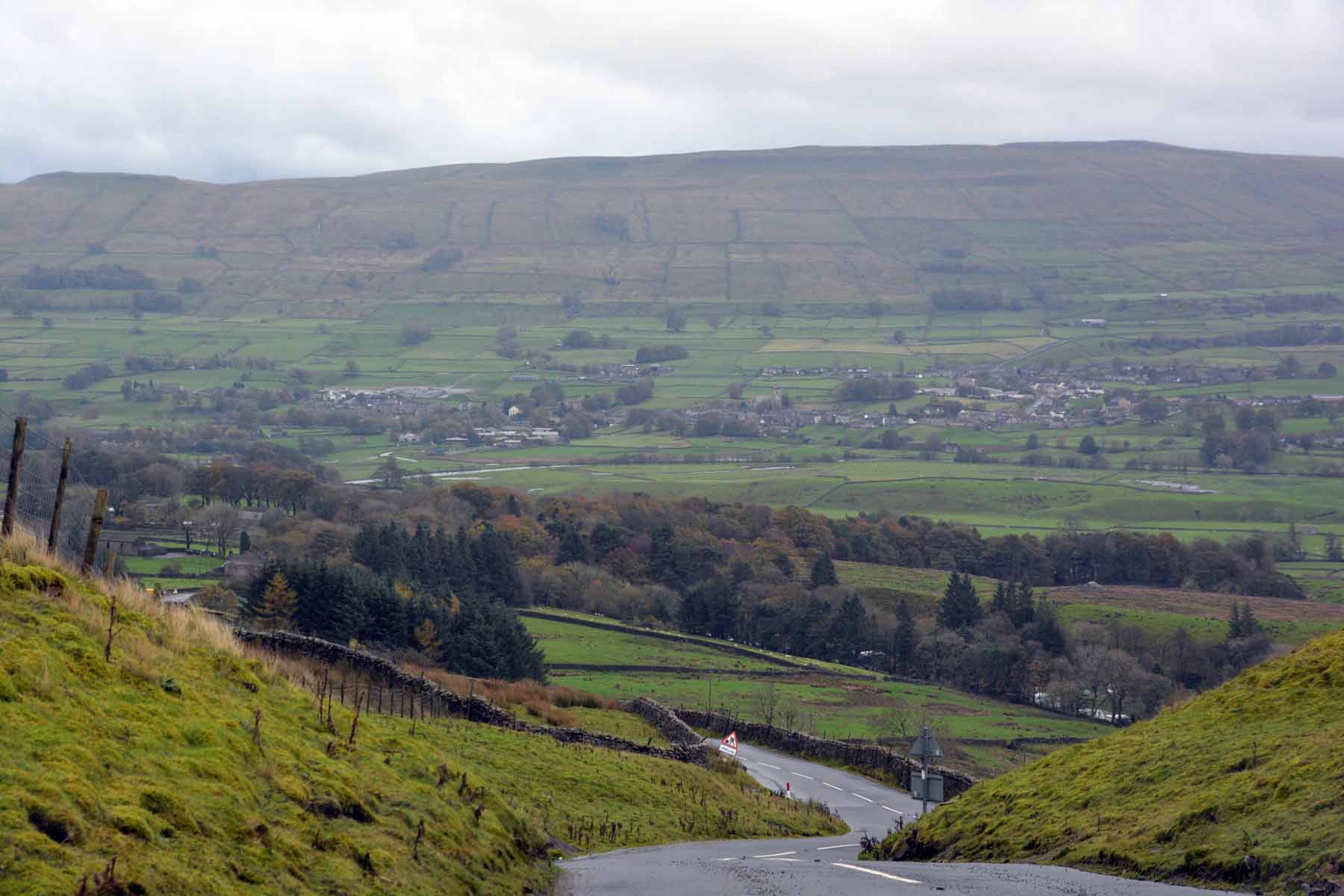
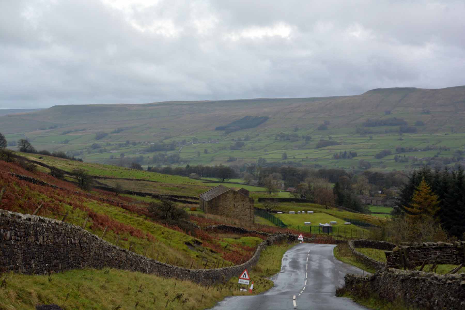
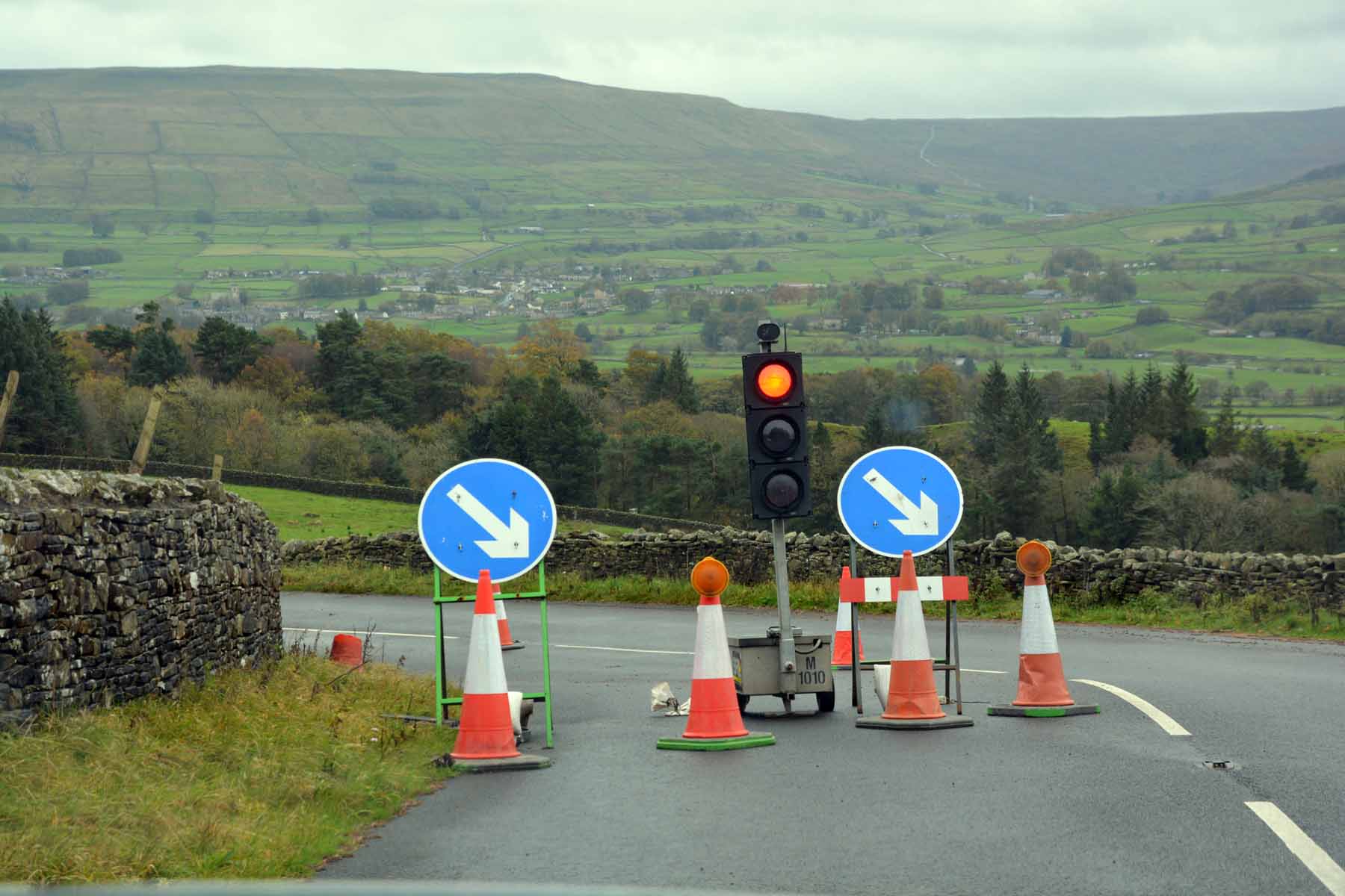
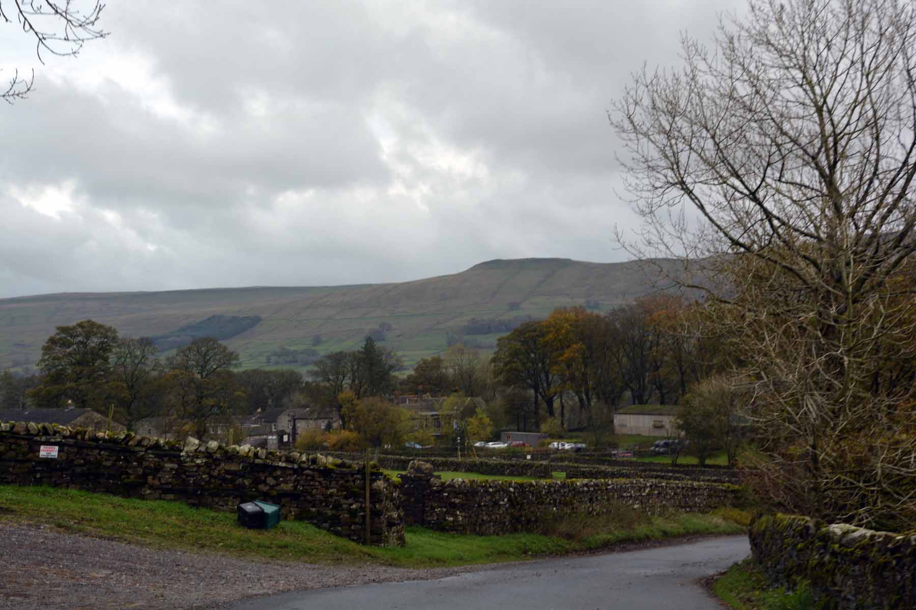
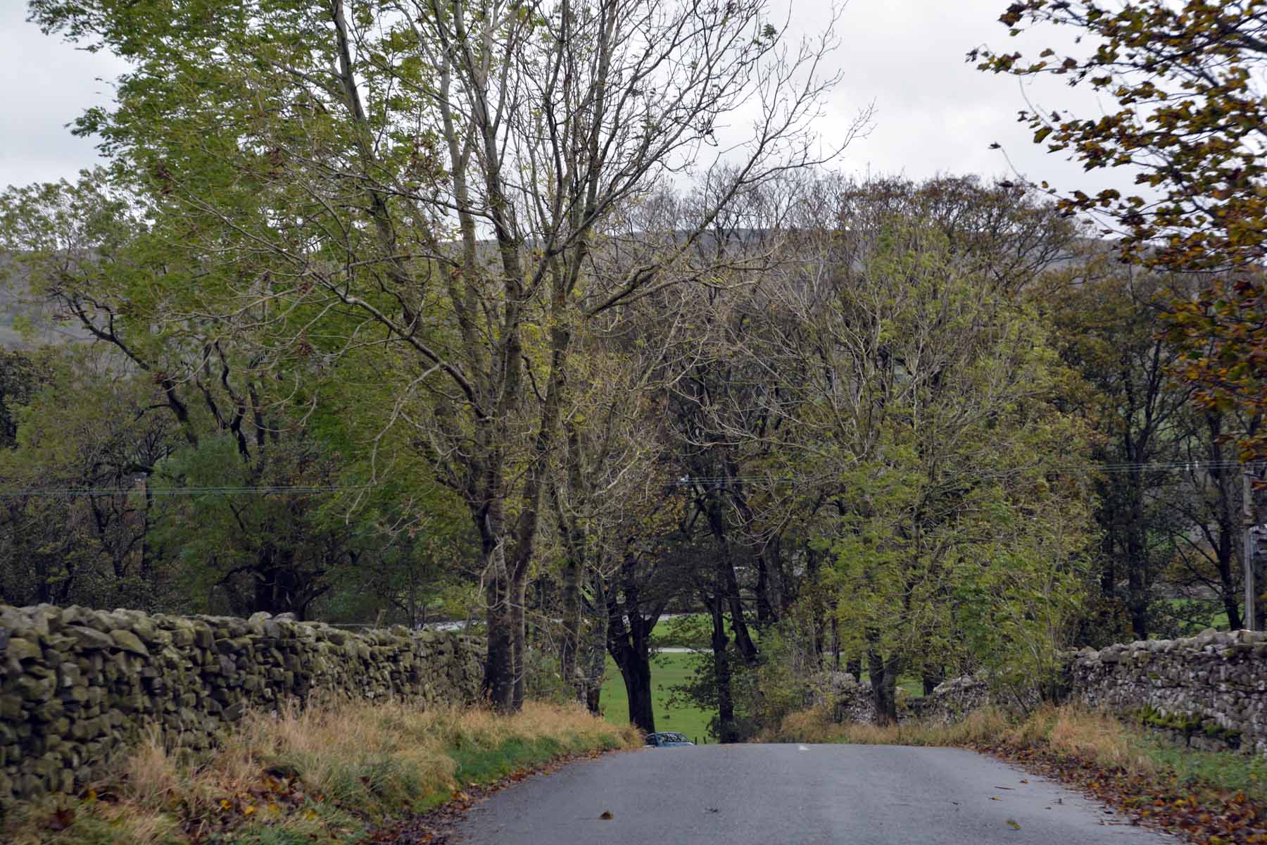
The Yorkshire Dales and Buttertubs PassSouth from Haltwhistle we headed across the Yorshire dales. These are high rounded hills separated by deep glaciated valleys. The region is remote and sparsely populated. We passed very few vehicles. Eventually we reached the small village of Thwaites where we turned south for the run over Buttertubs Pass. The country here is dominated by green fields edged with neat stone walls dotted with small concrete barns. In earlier times the farmers brought the cows into the barns in winter and fed them on the hay stored there. In spring the cows were sent into the fields and the barns mucked out - hence the district being known as "Mukers". The milk and cream from the cows were carried by cart over the hill to the market town of Hawes. On hot days the churns would be lowered into a limestone sinkhole at the crest of the pass to cool so the milk would not spoil. Today the drive over Buttertubs Pass is referred to as the "best drive in Britain". Certainly it was scenic and a delightful drive.
Last updated: 20/02/2018 |