From the Pacific to the Atlantic - Crossing Canada by Train
2 October - 5 November 2024
Canada 2024
16 October 2024: Day 15
Hopewell Rocks, New Brunswick to Charlottetown, Prince Edward Island.
Introduction
Breakfast at the Amsterdam Inn was fairly basic but it was free. (Yippee! But this means the locals pile their plates and bowls even higher...).We headed west on a road trip that circled south and west to reach the shores of the Bay of Fundy.
We made the detour to the lighthouse at Cape Enrage but found the lighthouse was closed. We continued on, now travelling north to reach the iconic Hopewell Rocks National Park. We paid the steep fee to enter (about $CAN35 despite the old-age discount)
but it did allow us access for 2 consecutive days (useless as far as I can see). We walked to the various viewing platforms. Although the weather was fine with scattered cloud the air temperature was only about 6C. We arrived just on high tide (which was
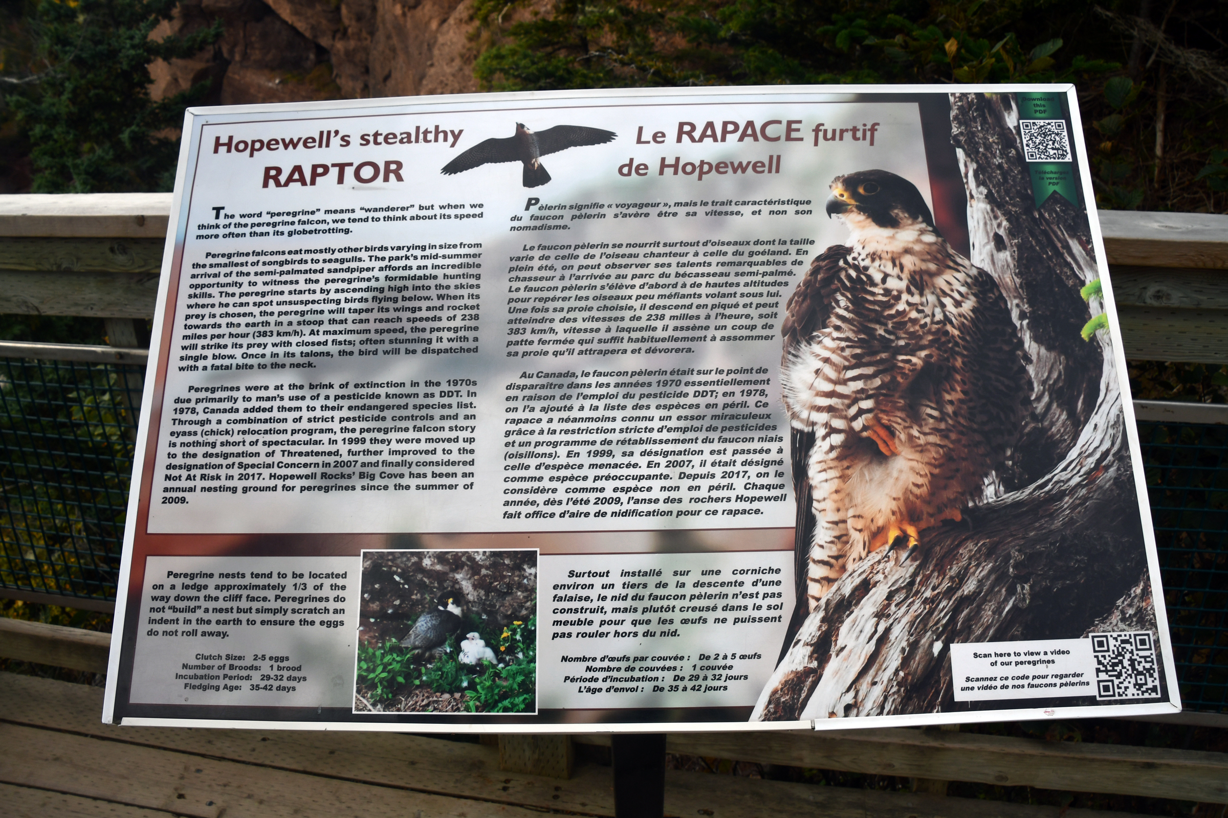
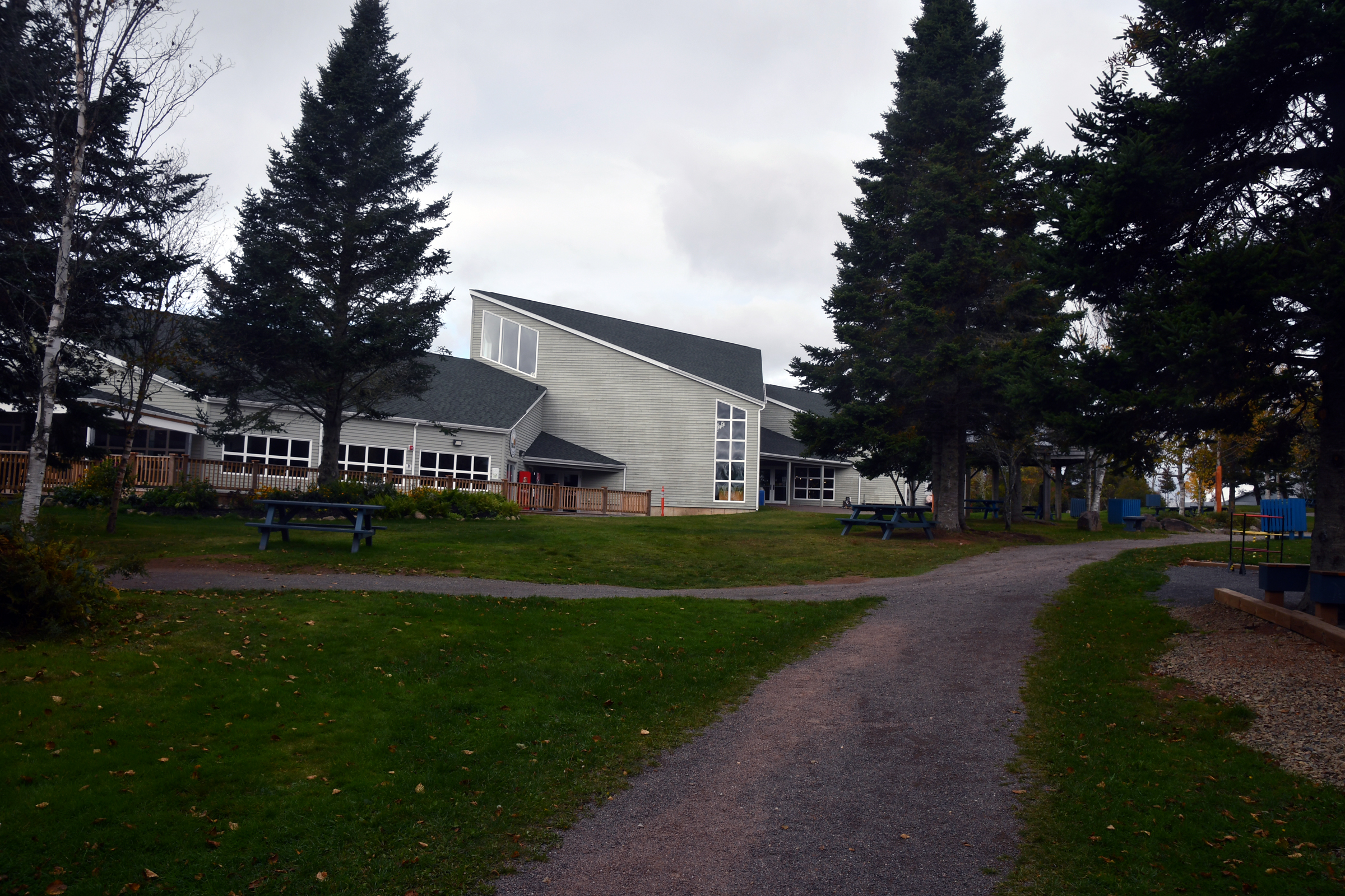
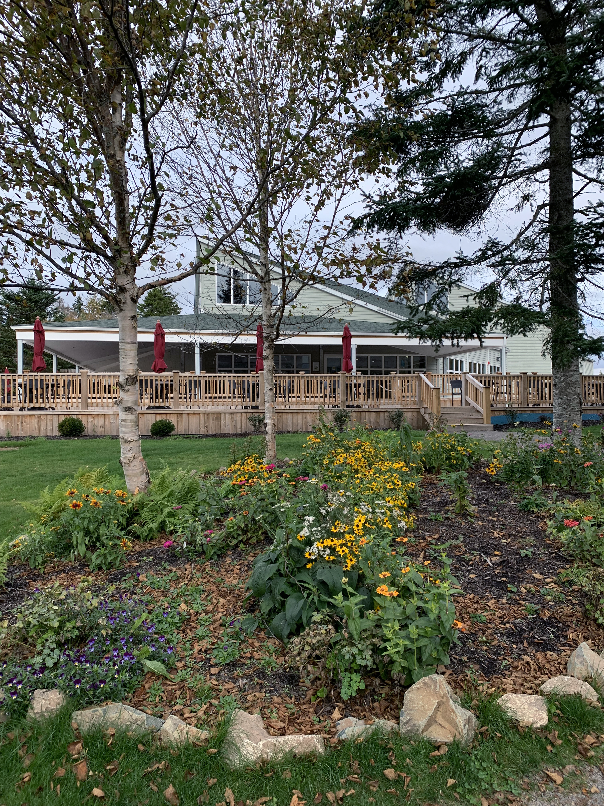
planned): the tidal range this day was 13.5 metres. The visitor centre has some good exhibits - it also has a cafe where we stopped to warm up and to have soup for lunch (tomato and Acadian fricot).
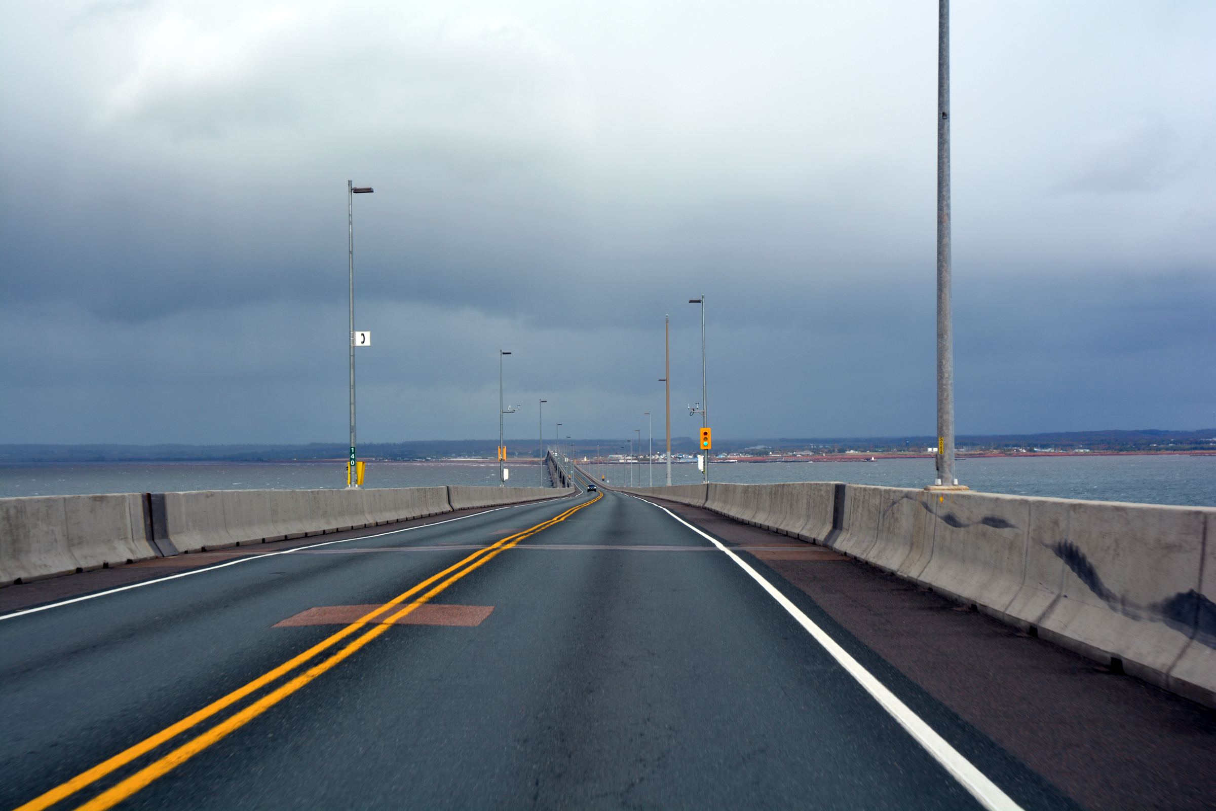
The road trip continued back through Moncton and north towards Prince Edward Island, the last of the Canadian provinces to be visited on this trip. For many years PEI was only accessible by ferry, but in 1997 the federal
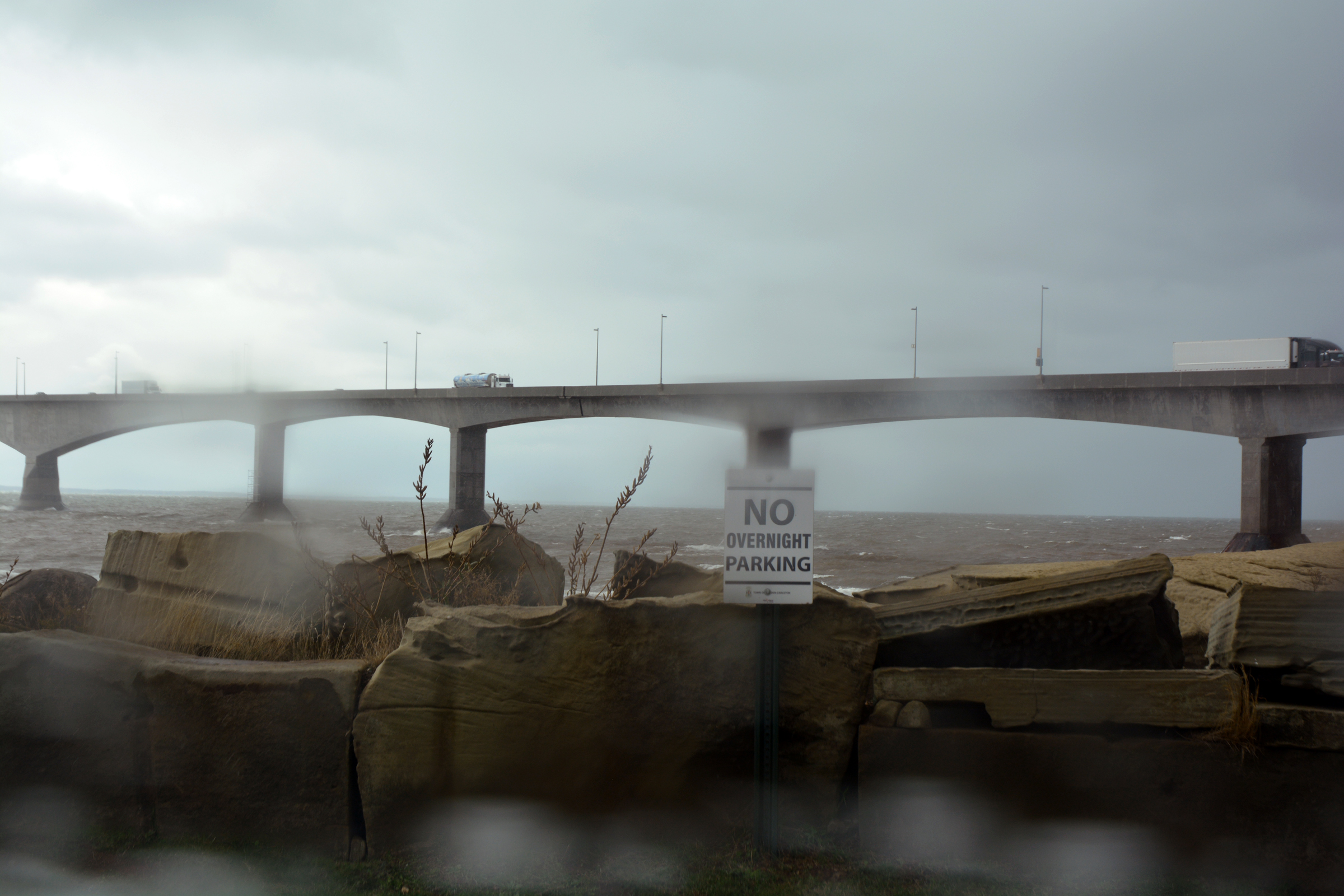
government opened a new bridge to join PEI to the mainland. The bridge is 12.5 km long and took 4 years to build. It is the world's longest bridge to span ice-covered water. Just as we approached the bridge the rain started in ernest,
so we saw little of the bridge and even less of the strait below. (But, with the ferries cancelled we would be back over the bridge in a few days). We proceeded on to Charlottetown, the capital of PEI, where the rain continued. Dinner
was at the nearby The Local Pub and Oyster Bar. Yes they sold oysters, mussels and other seafood delicacies and yes, they did a better job of the food than anywhere else we had dined to date.
Moncton to Cape Enrage
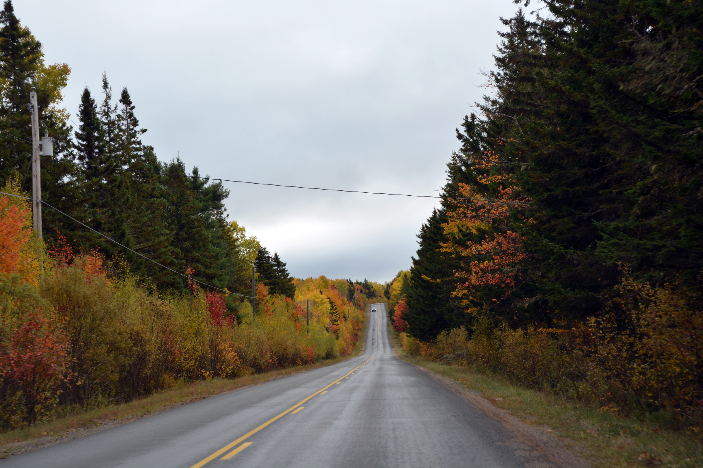
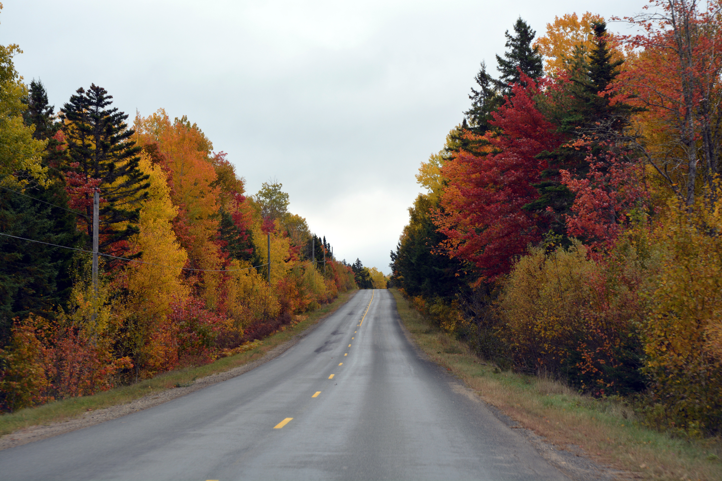
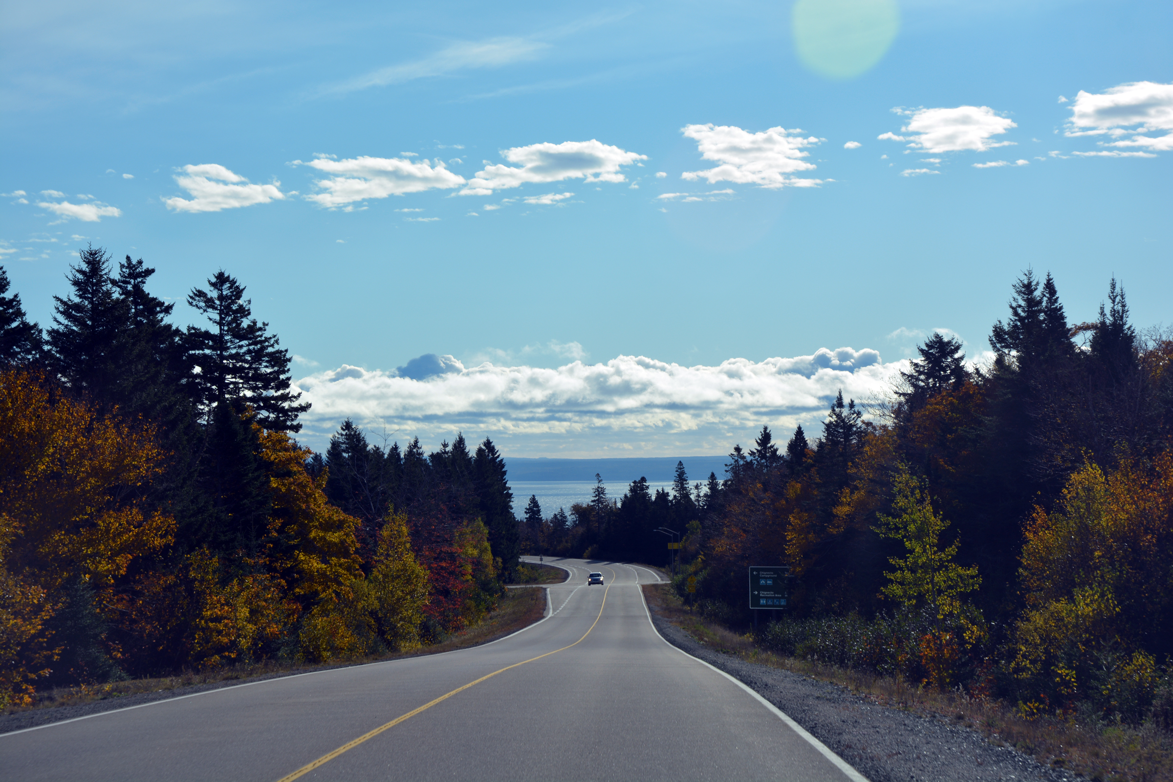
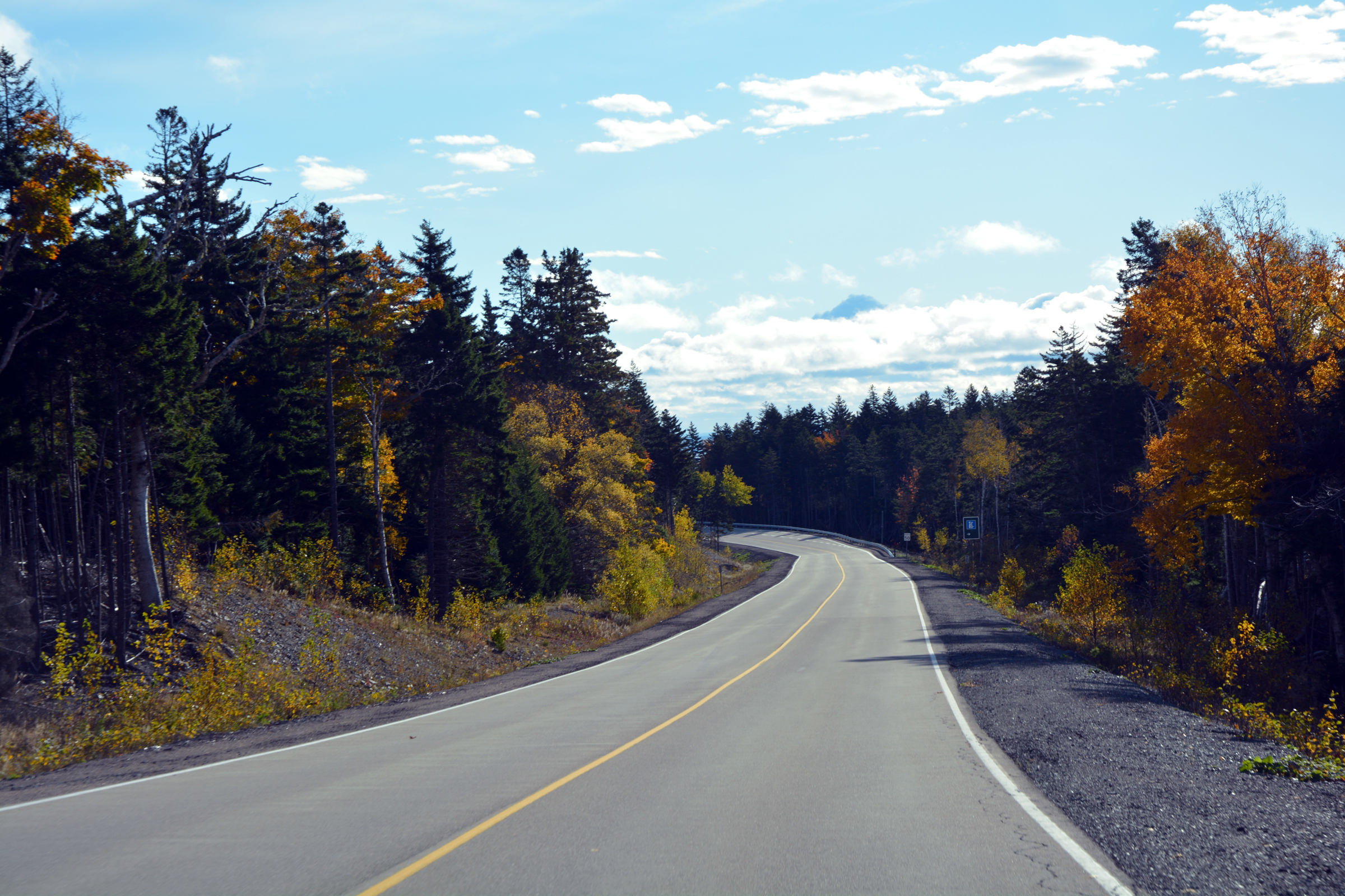
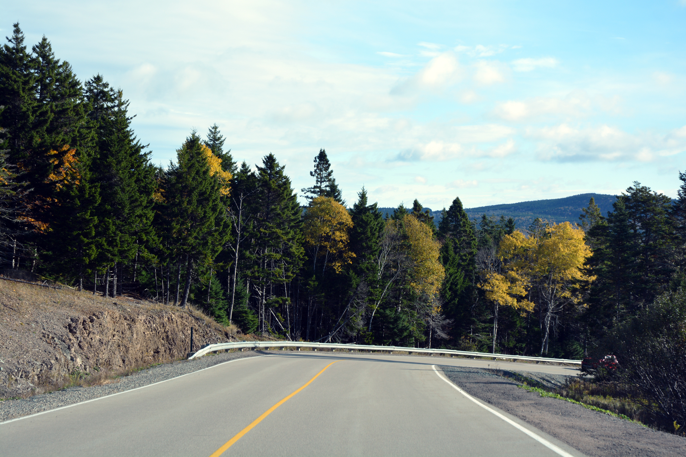
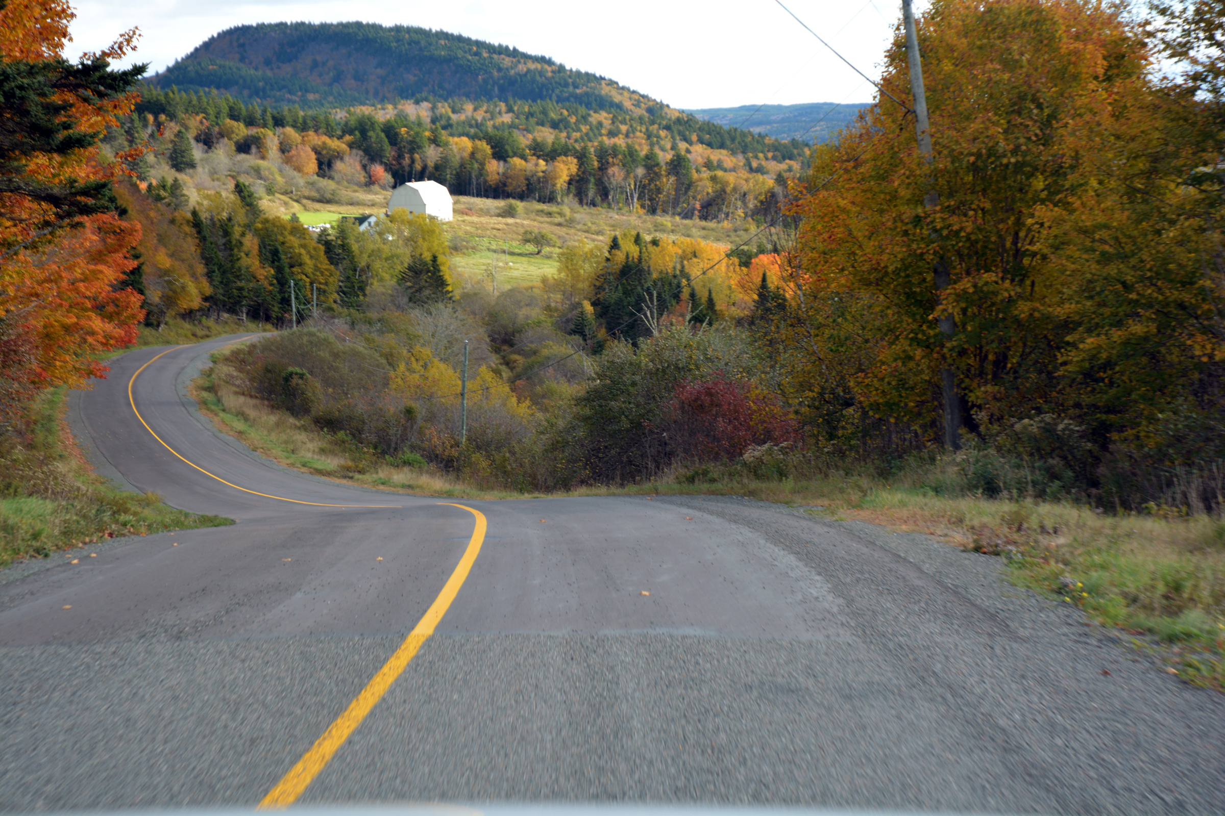
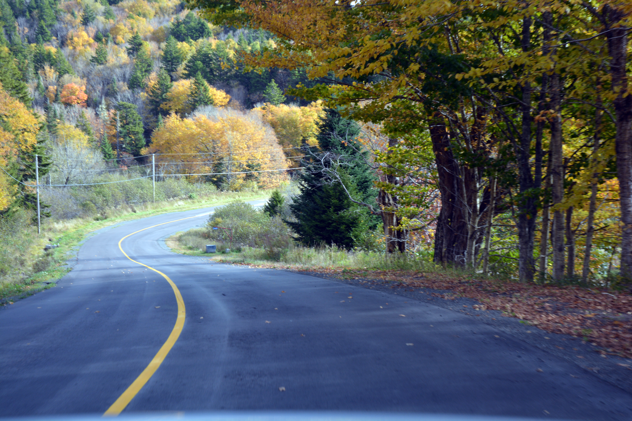
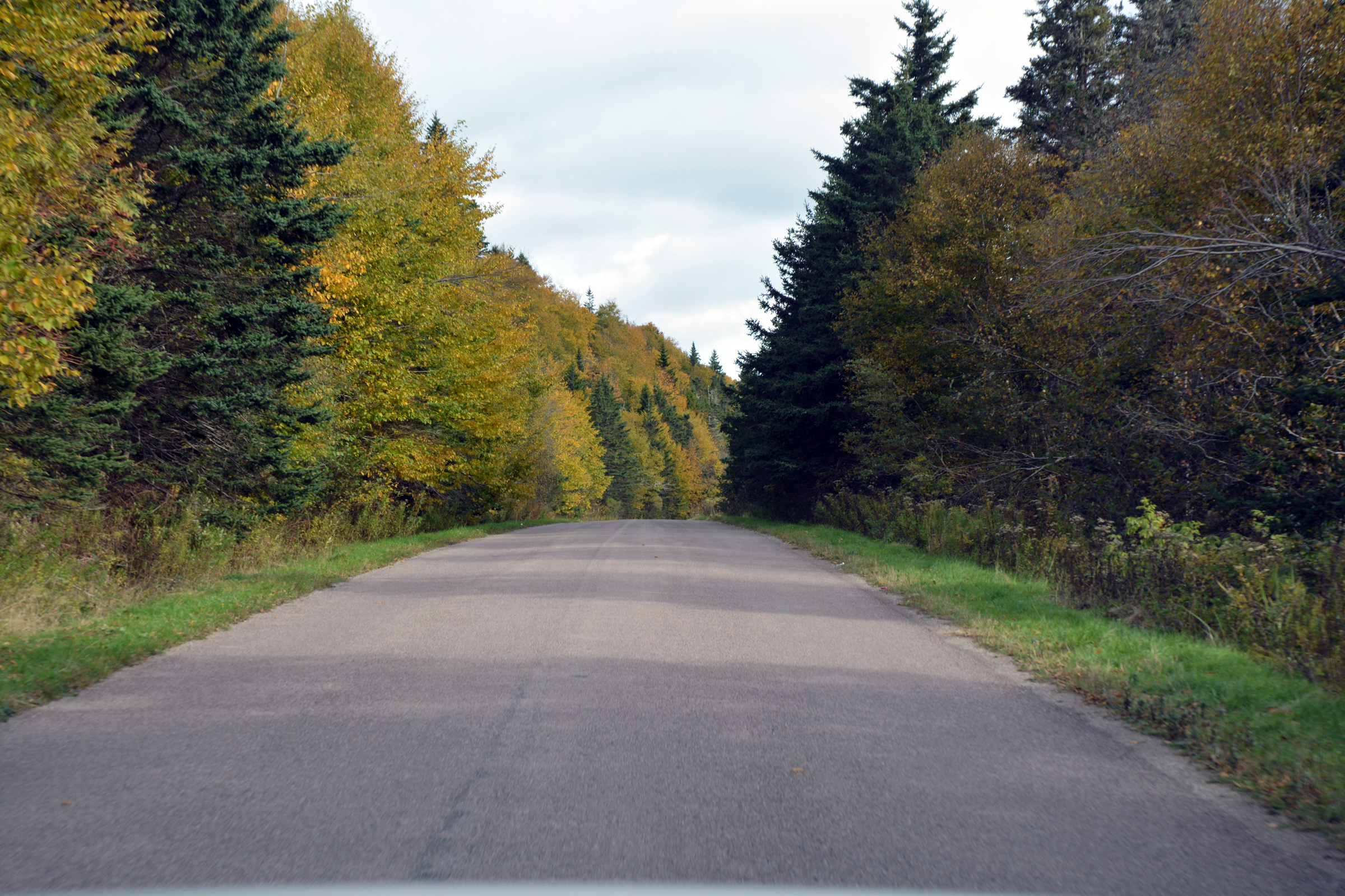
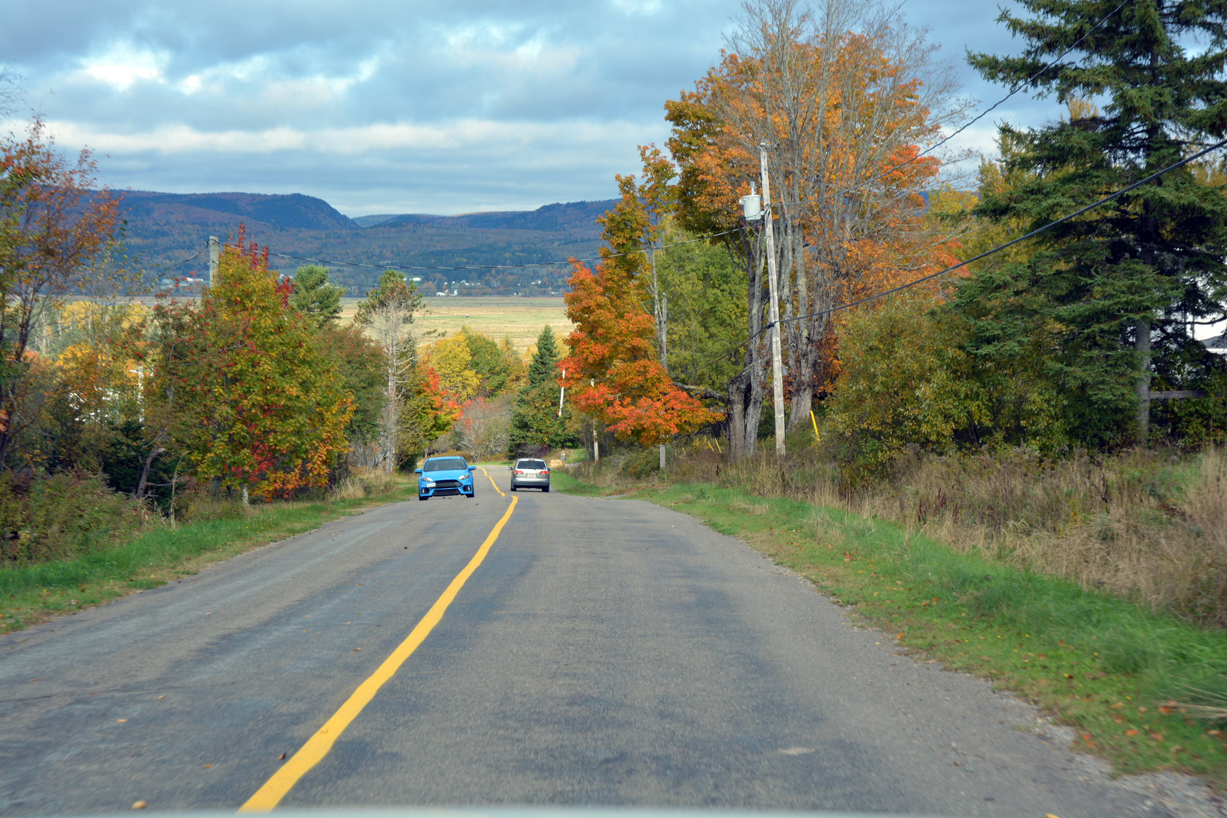
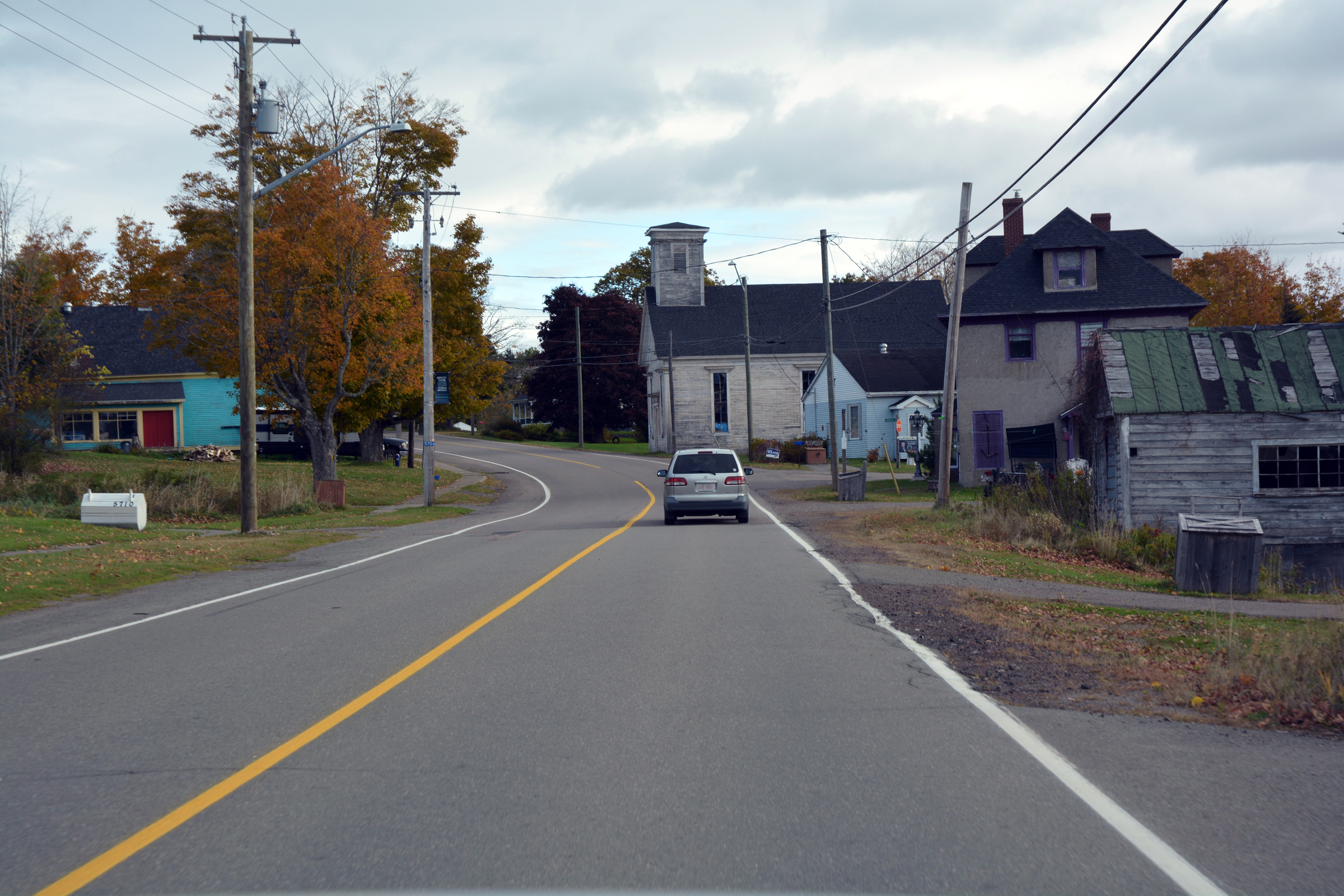
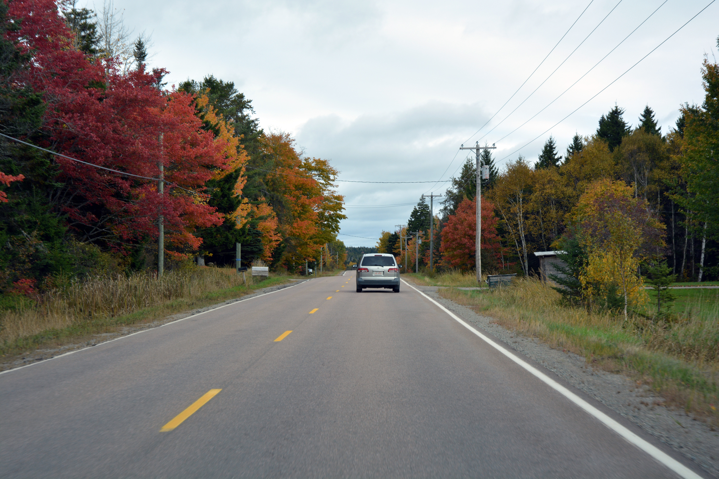
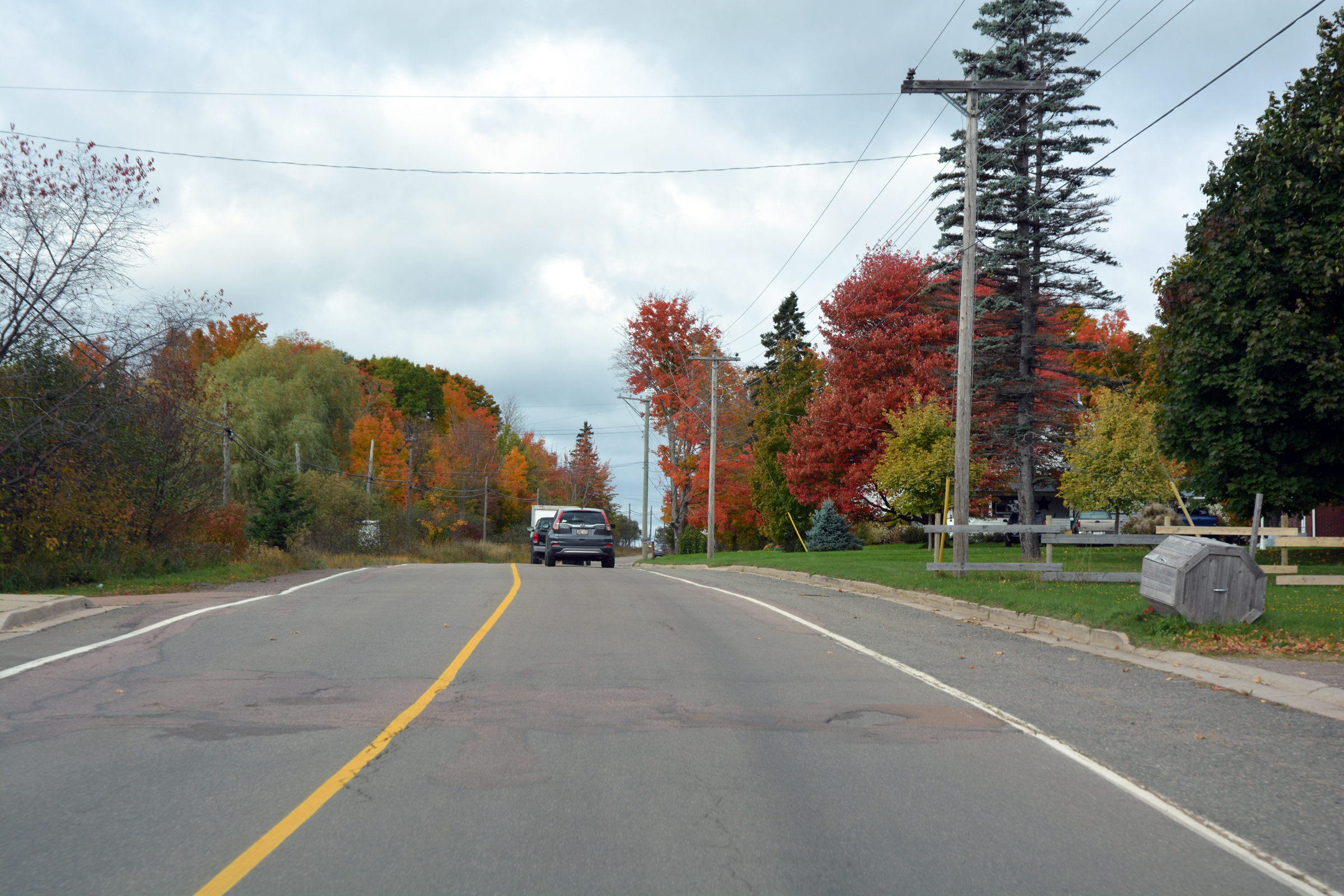
From the Amsterdam Inn at Moncton we headed west on a road trip that then circled south and east to reach the shores of the Bay of Fundy, passing through Petitcodiac and Anagance before turning south at Penobsquis. This took us across wooded
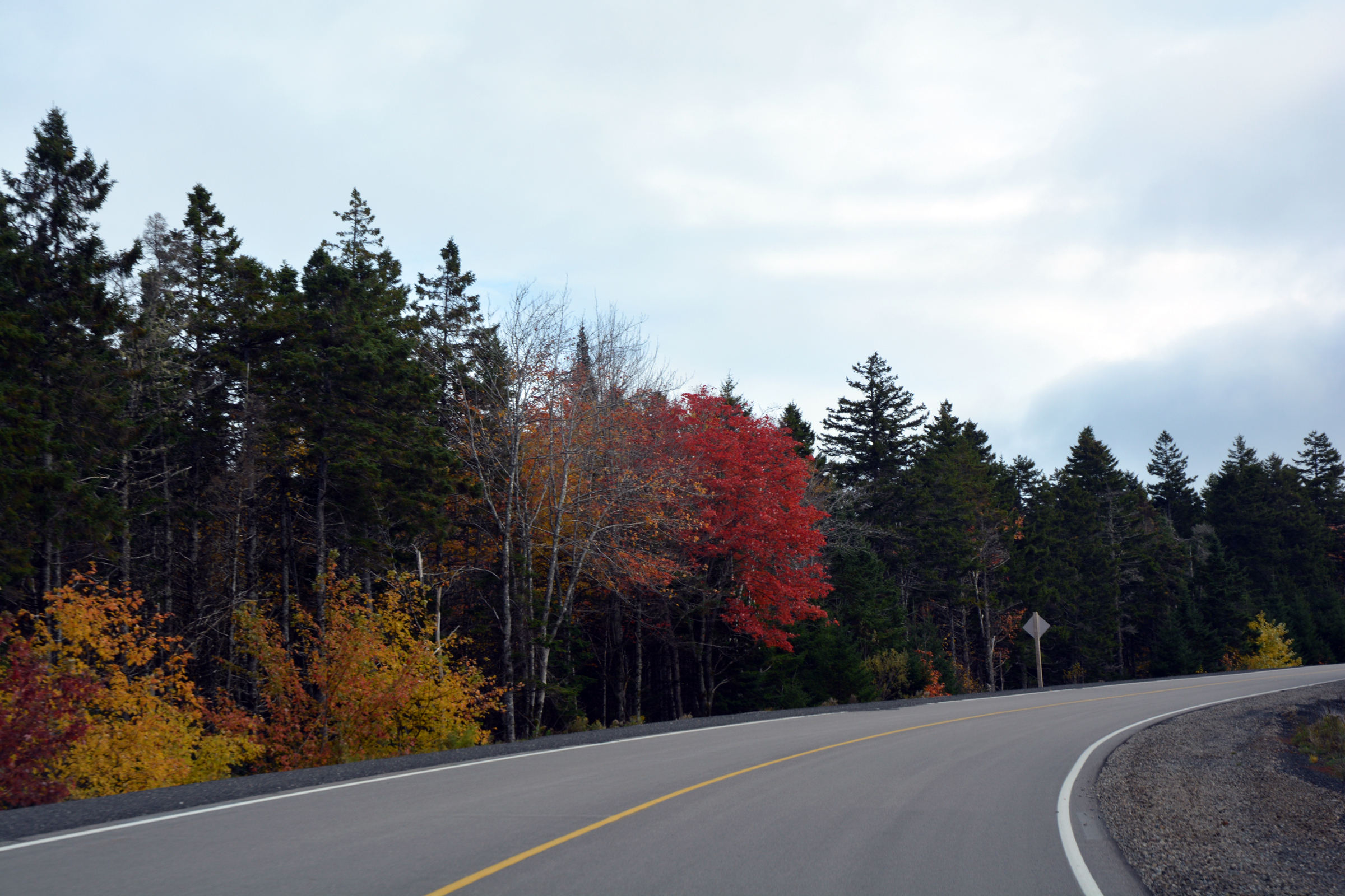
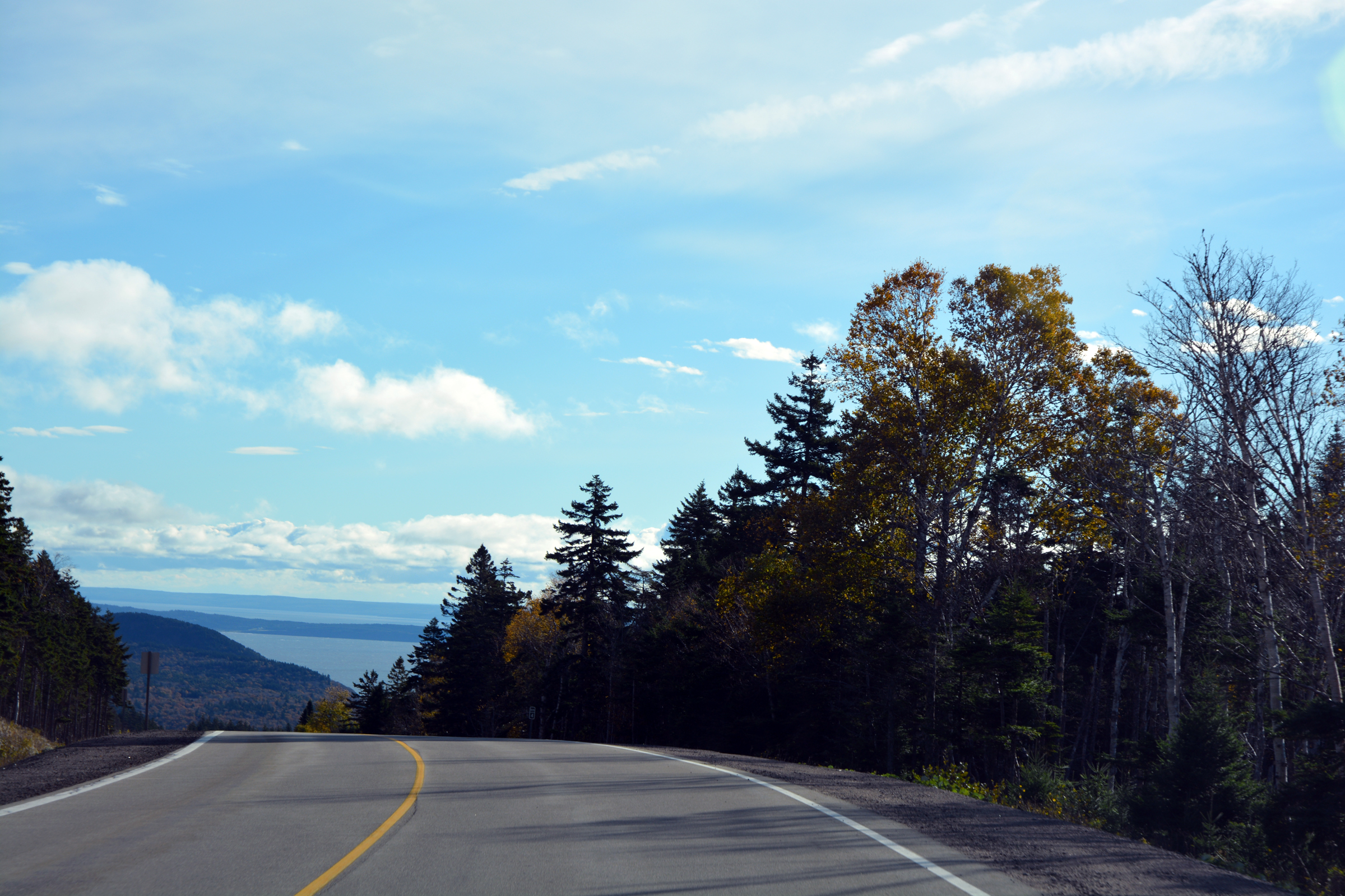
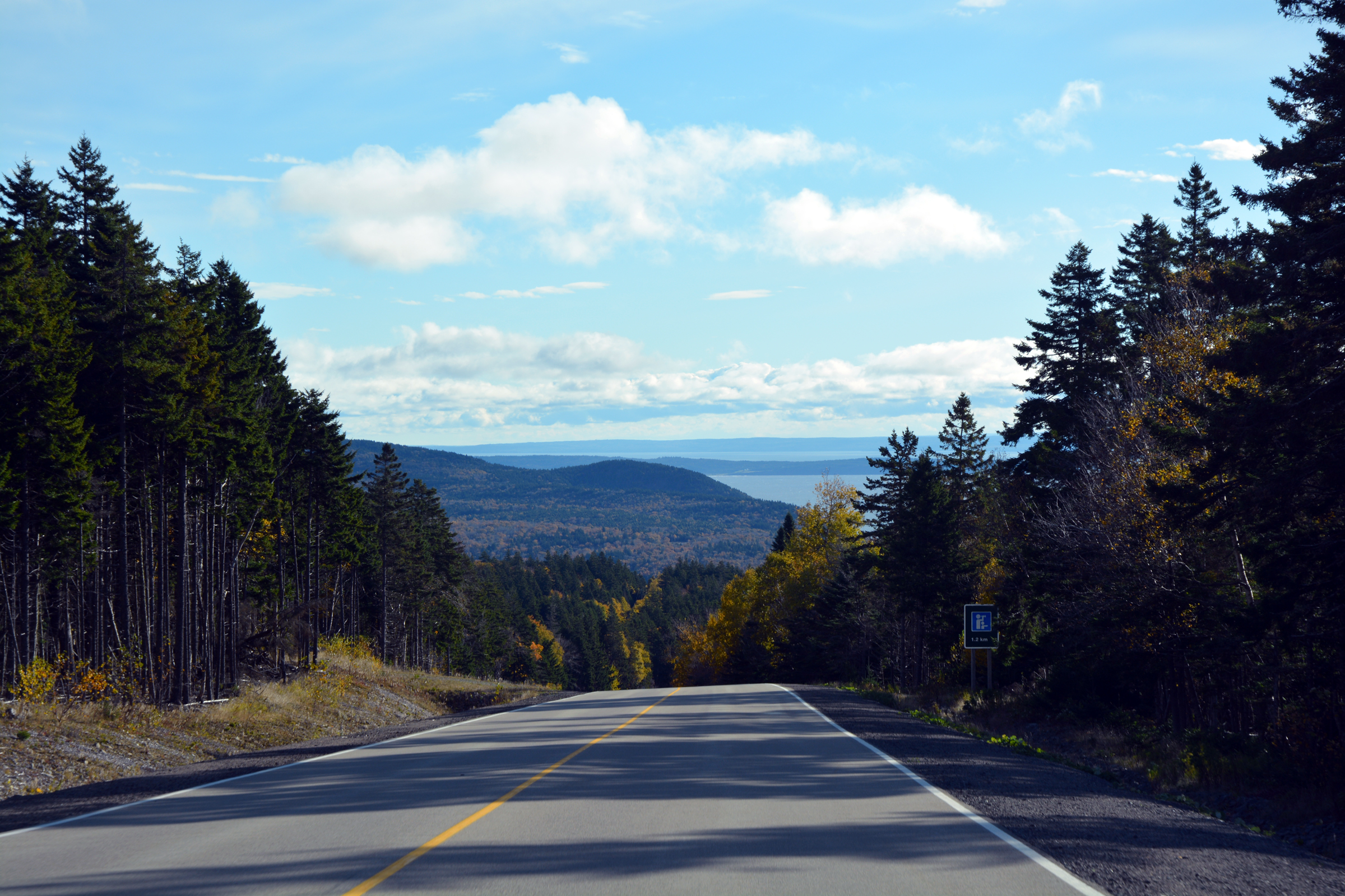
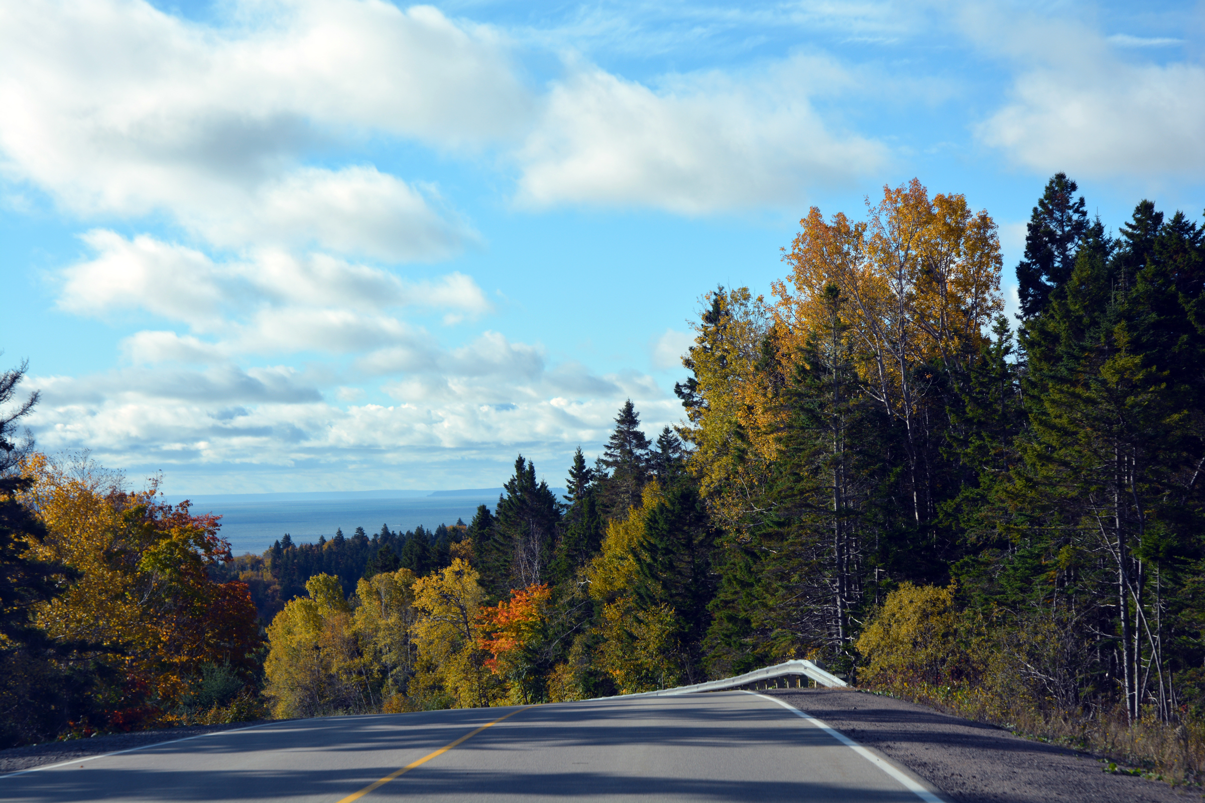
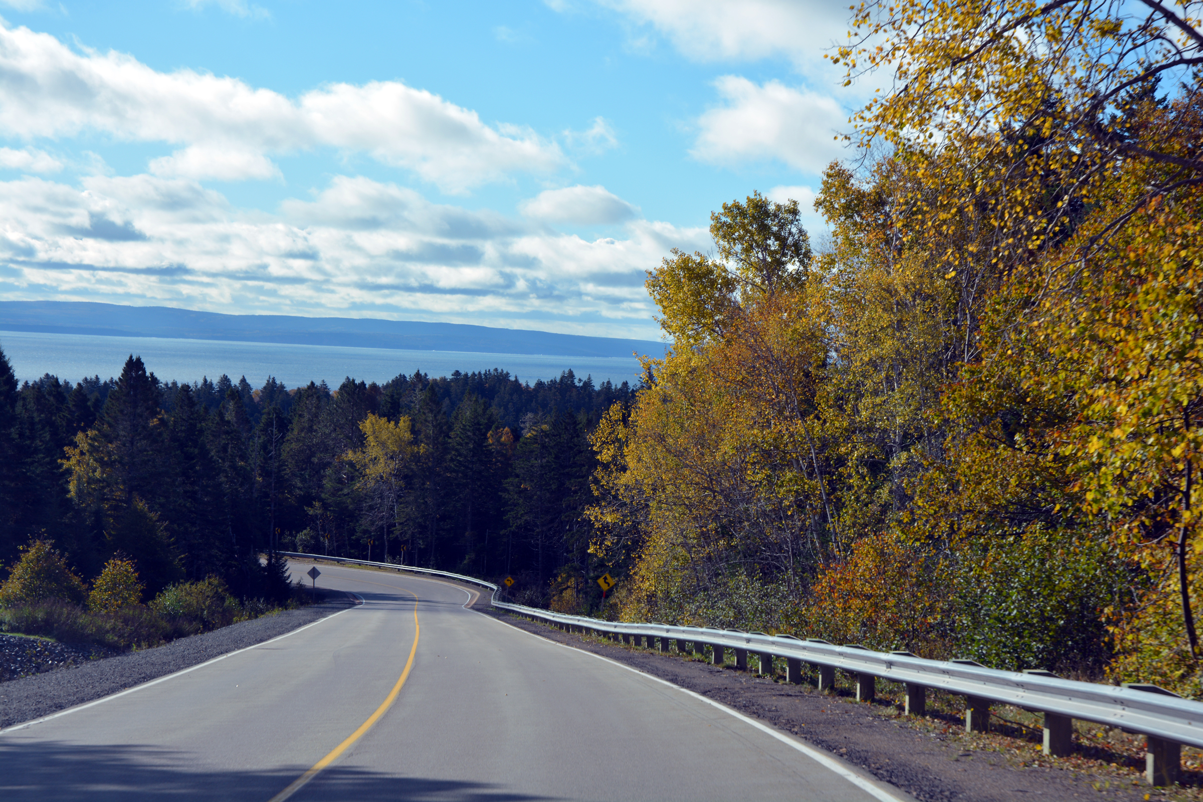
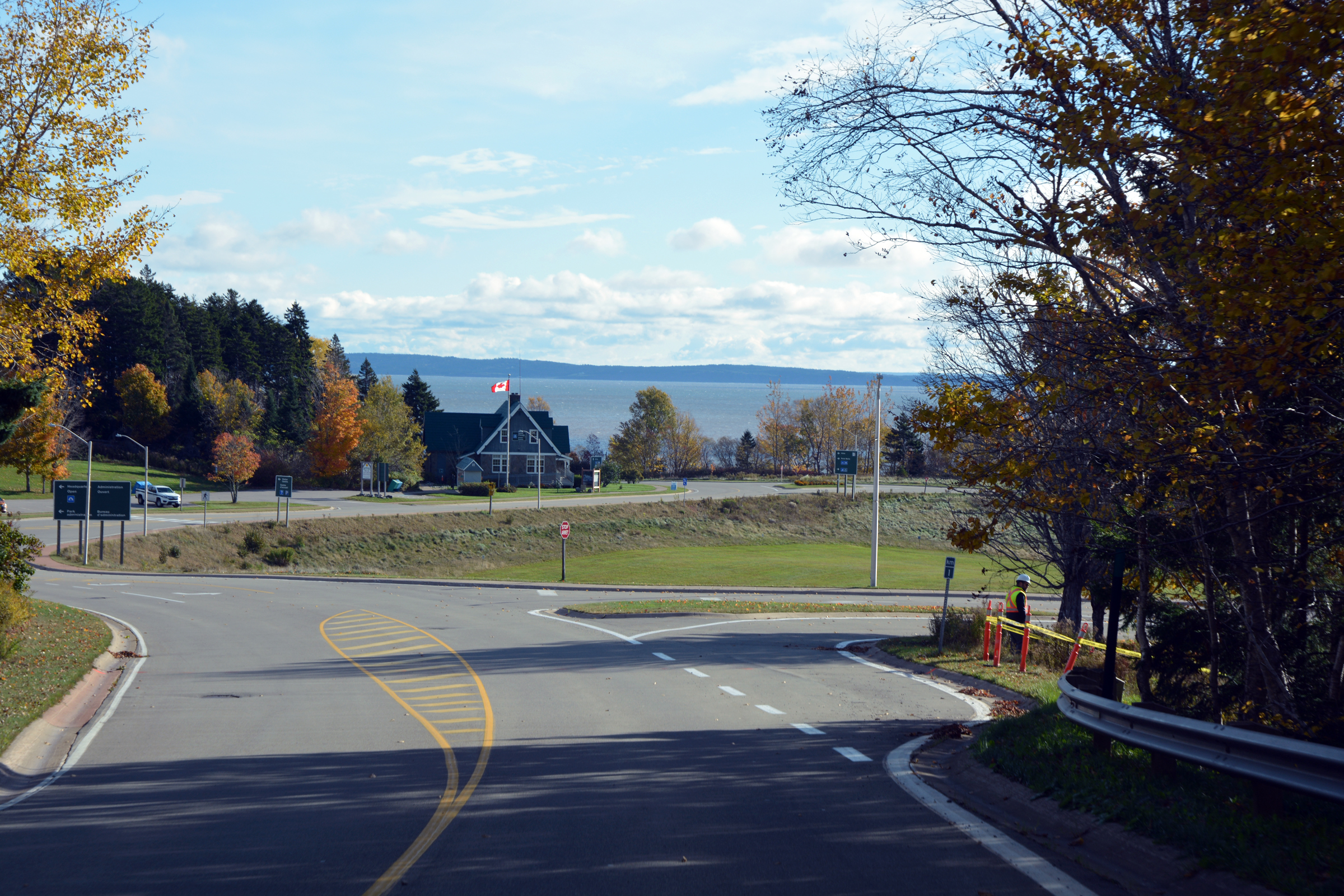
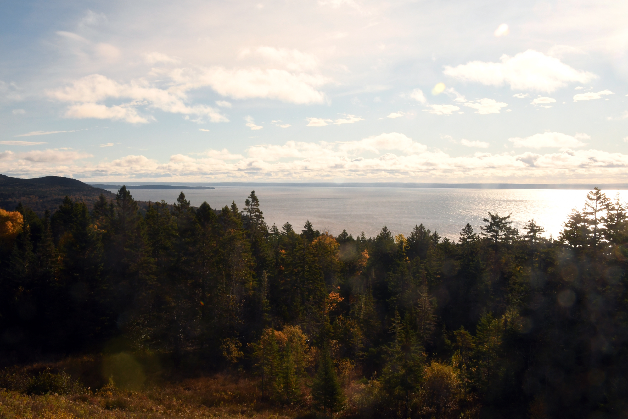
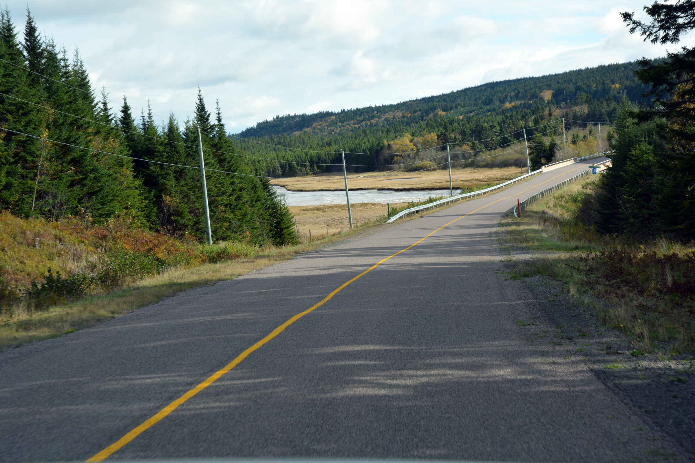
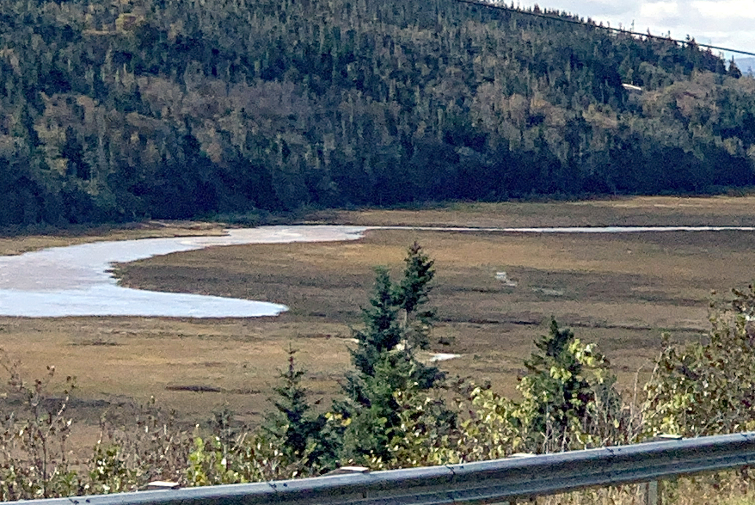
hills in their Fall colours before starting the descent towards the coastal lands of marshes, lakes and lagoons of the Bay of Funday. We stopped at the Fundy National Park Observation Deck to look over the by, then continued on to Alma. Protruding into
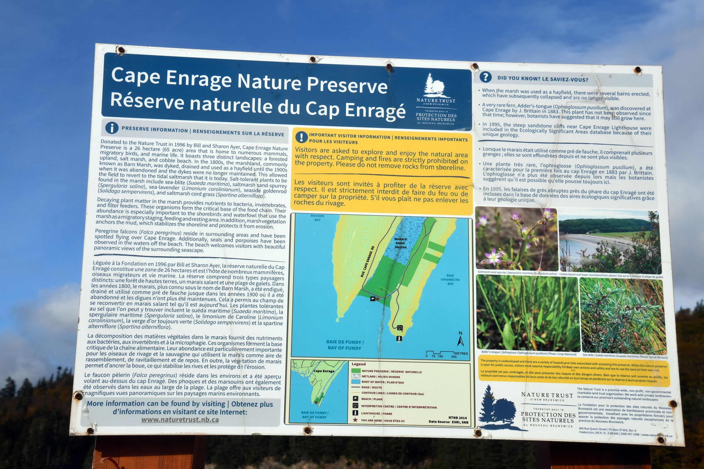
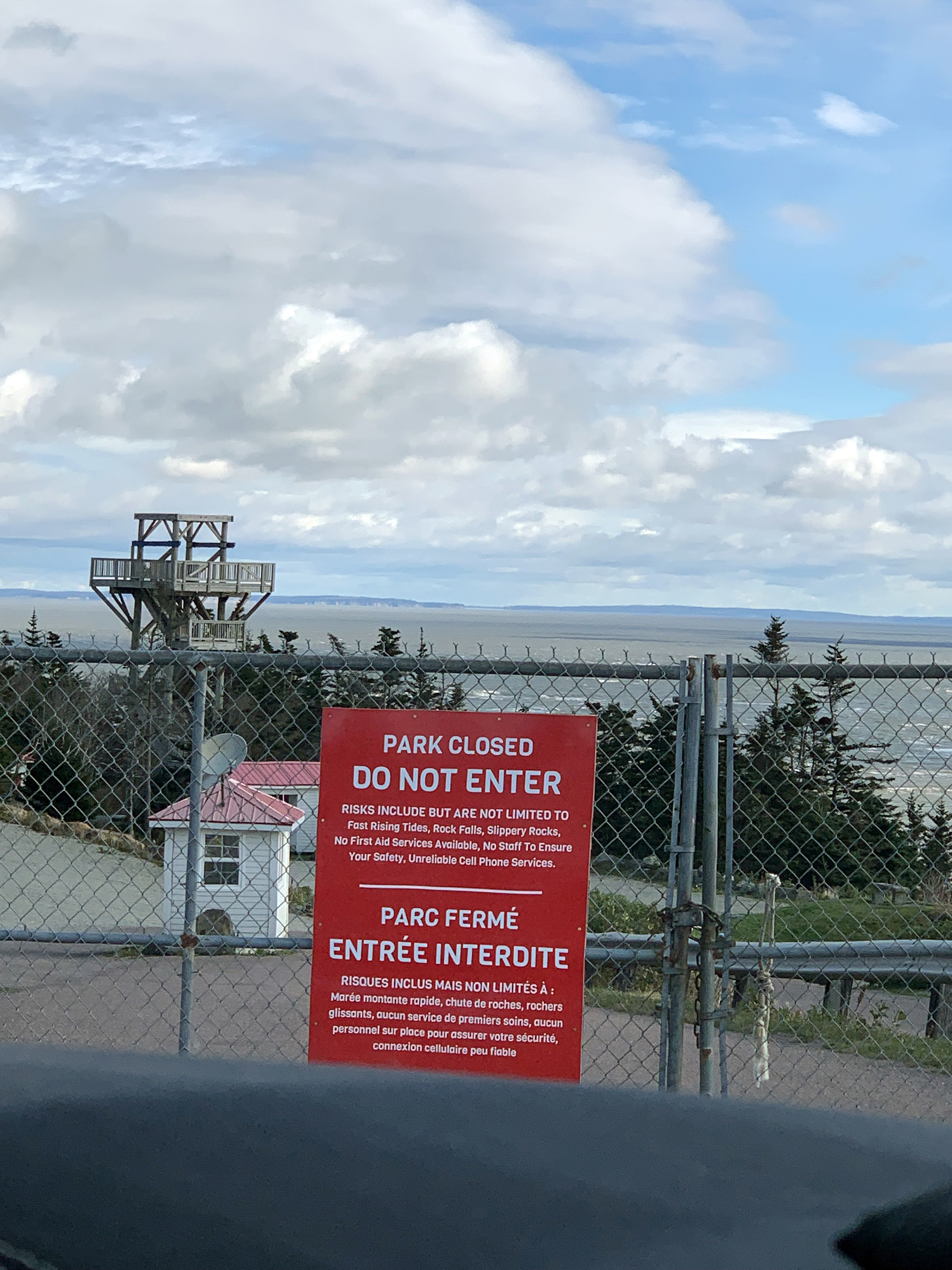
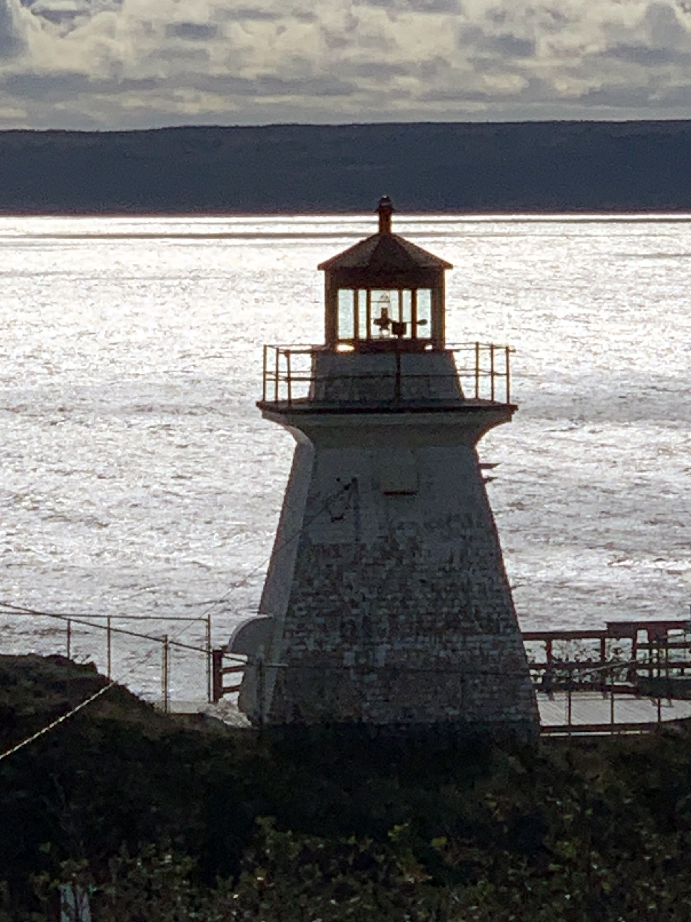
the bay is a point known as Cape Enrage, complete with a lighthouse and viewing platforms. We made the detour to the
lighthouse but found the road down to the lighthouse was closed and the viewing platfoms inaccessible. Not sure why? Maybe it was a health and safety cop-out.
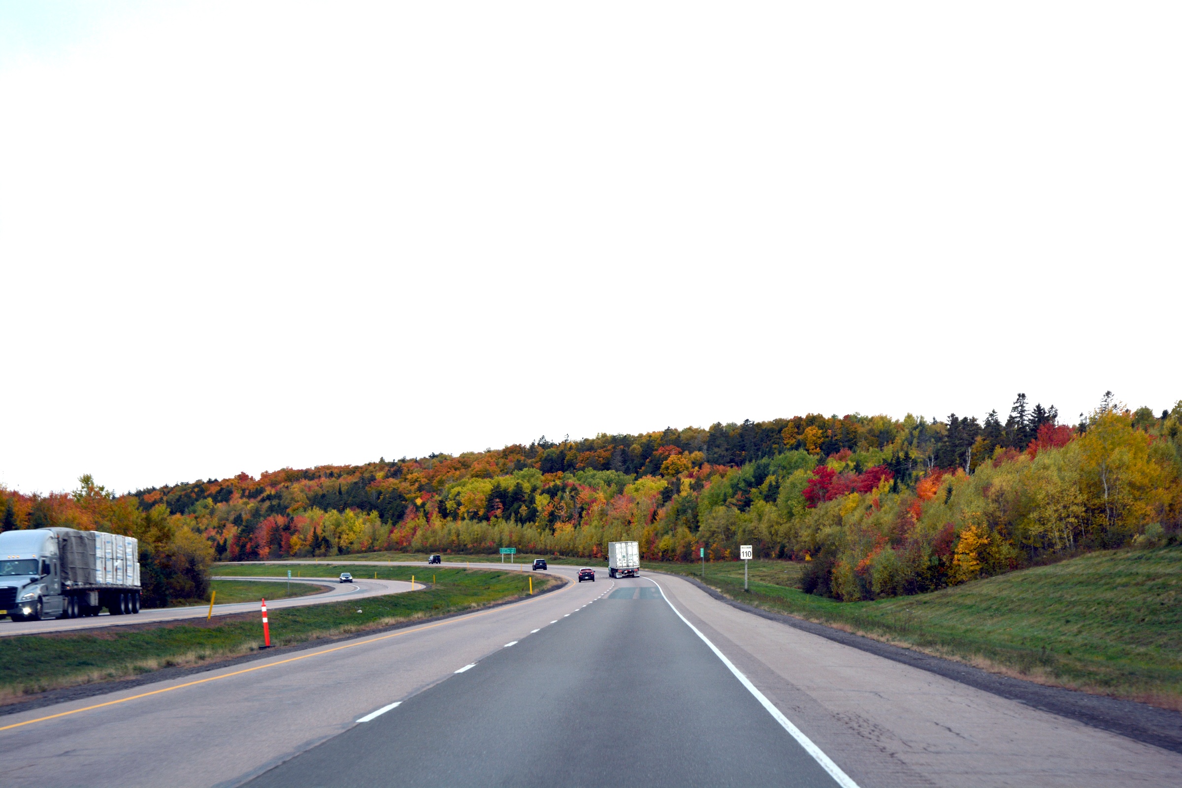
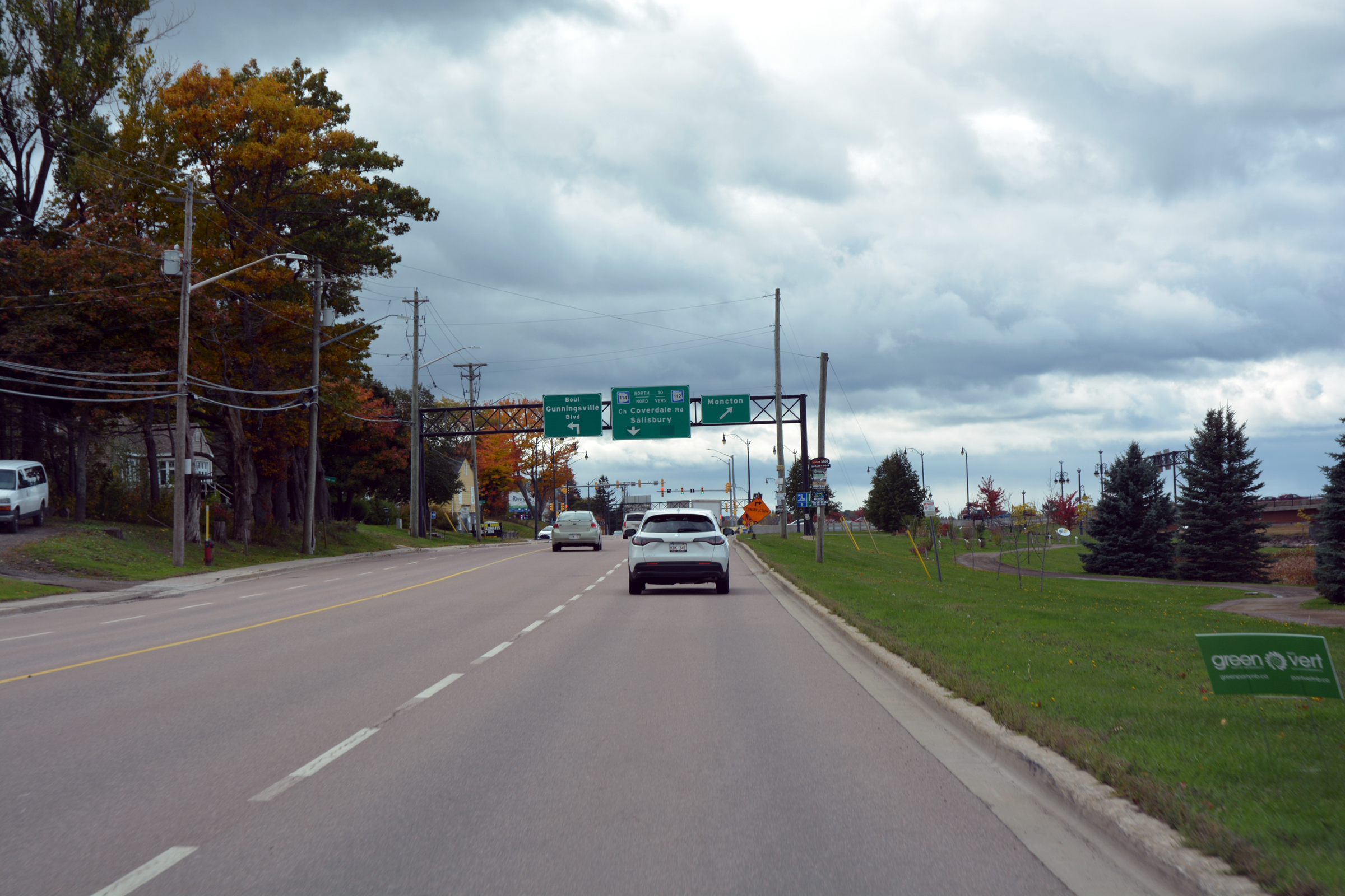
| Heading west out of Moncton on the TCH. |
|
|
|
|
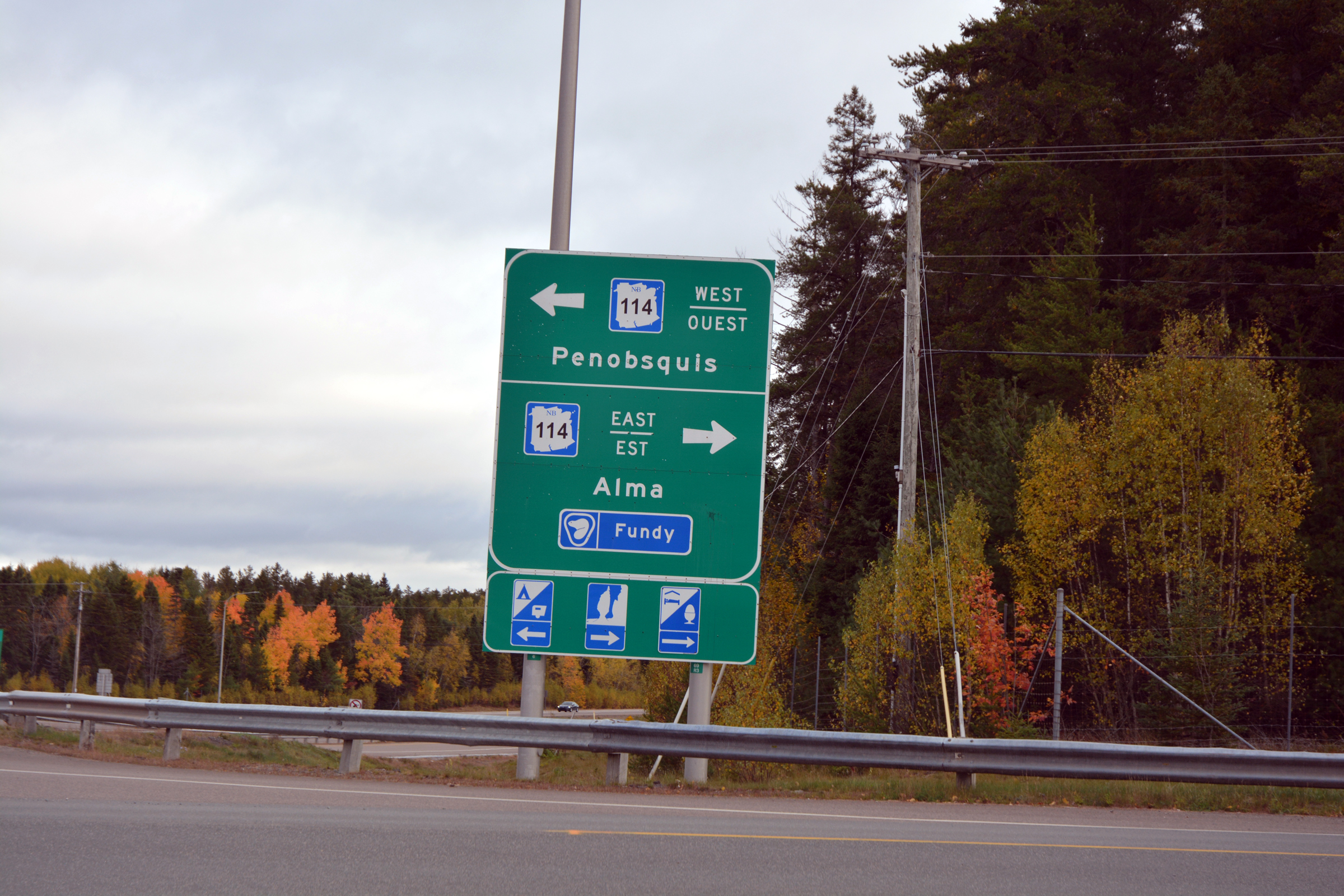
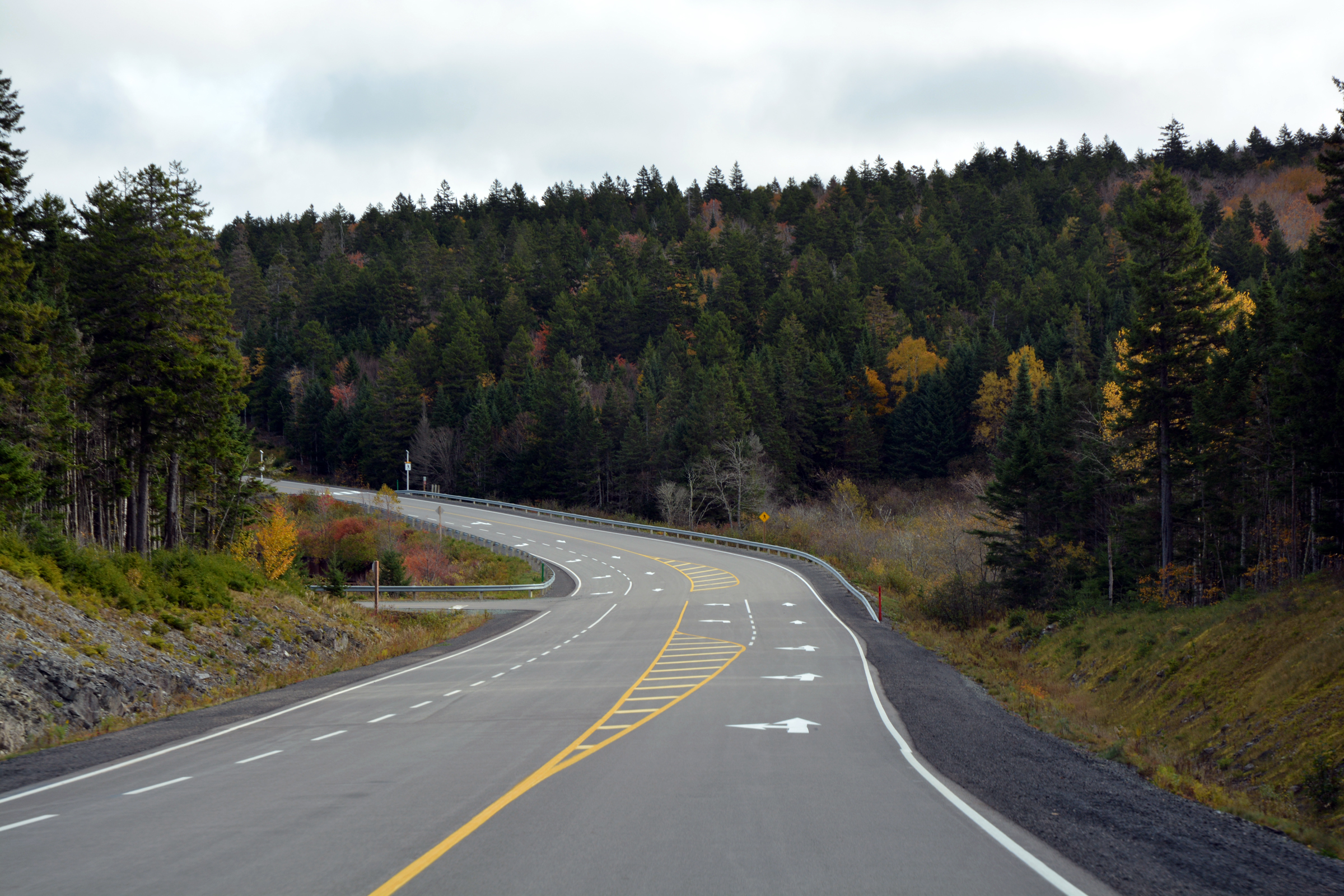
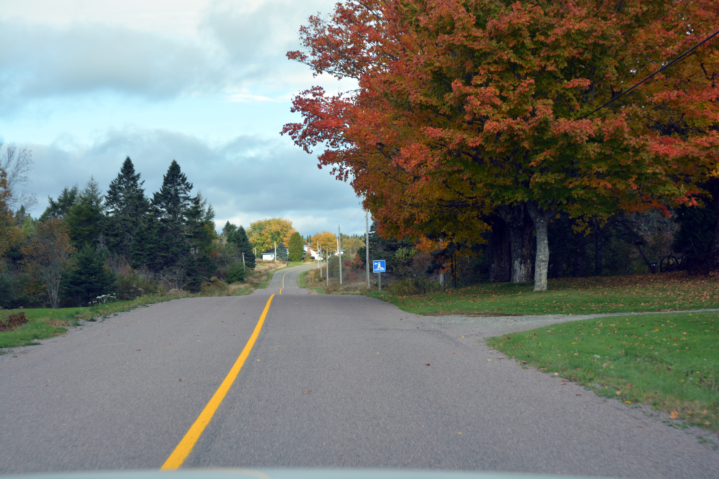
Turnoff from the TCH onto 114 east to Alma. The icons are interesting, I presume the boiled egg is for breakfast? |
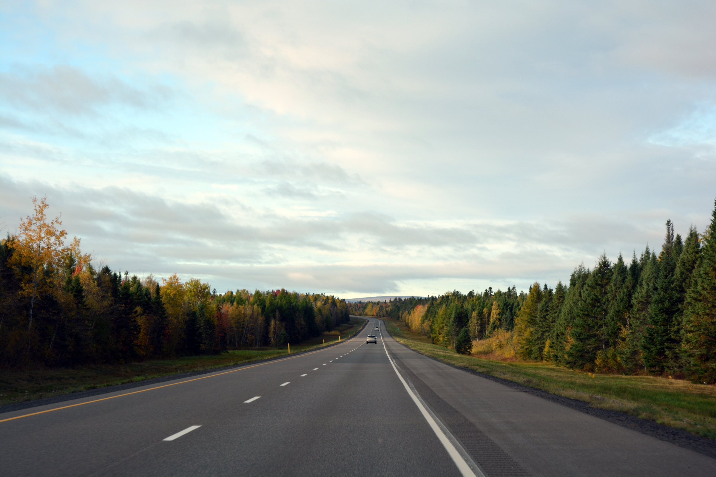
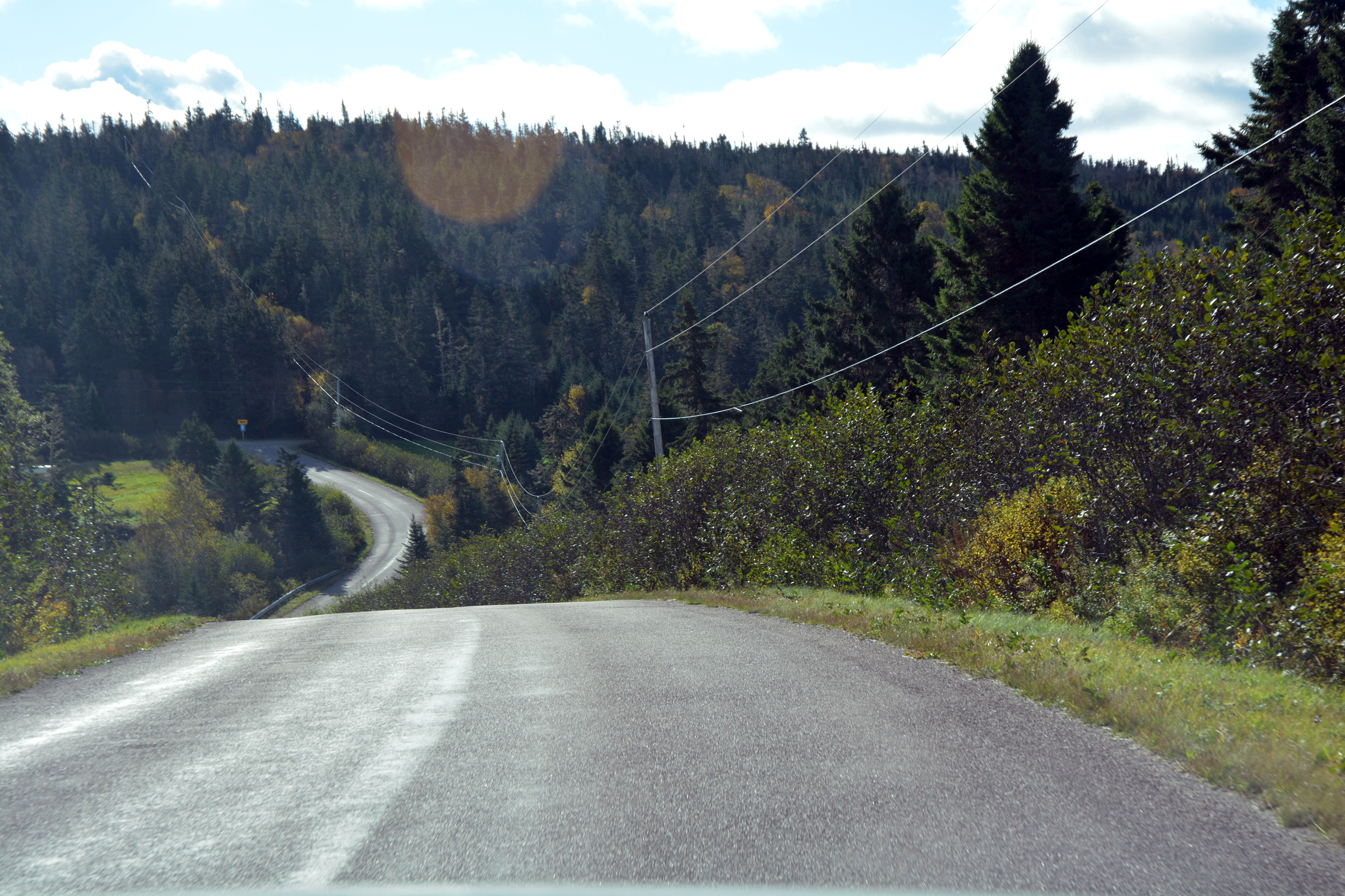
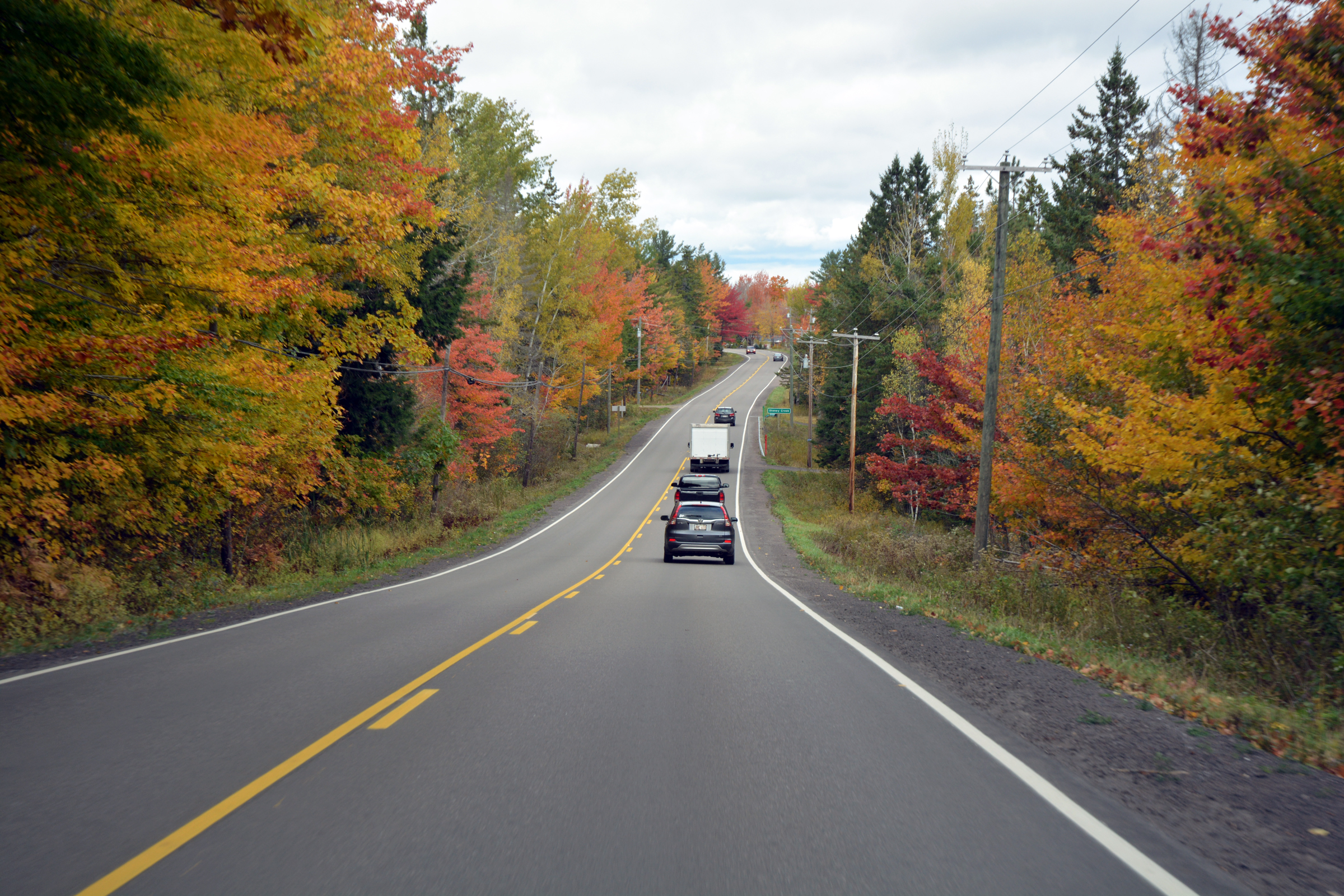
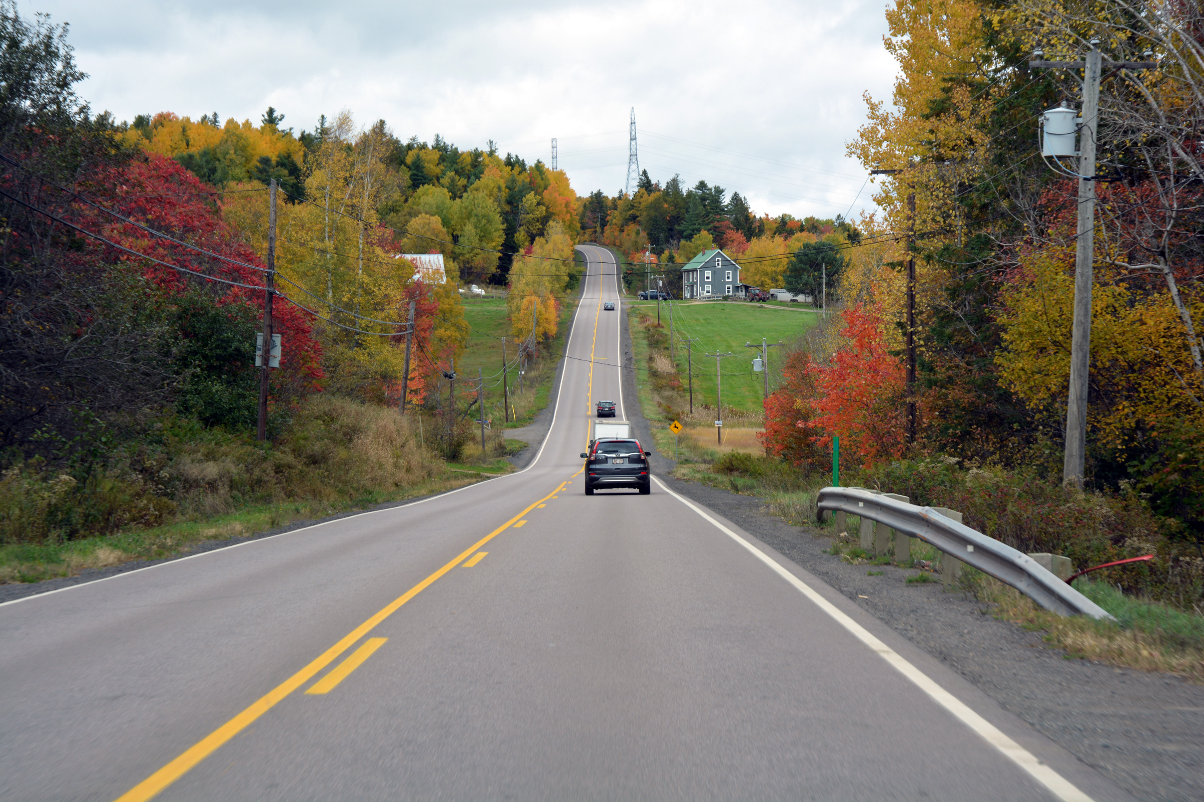
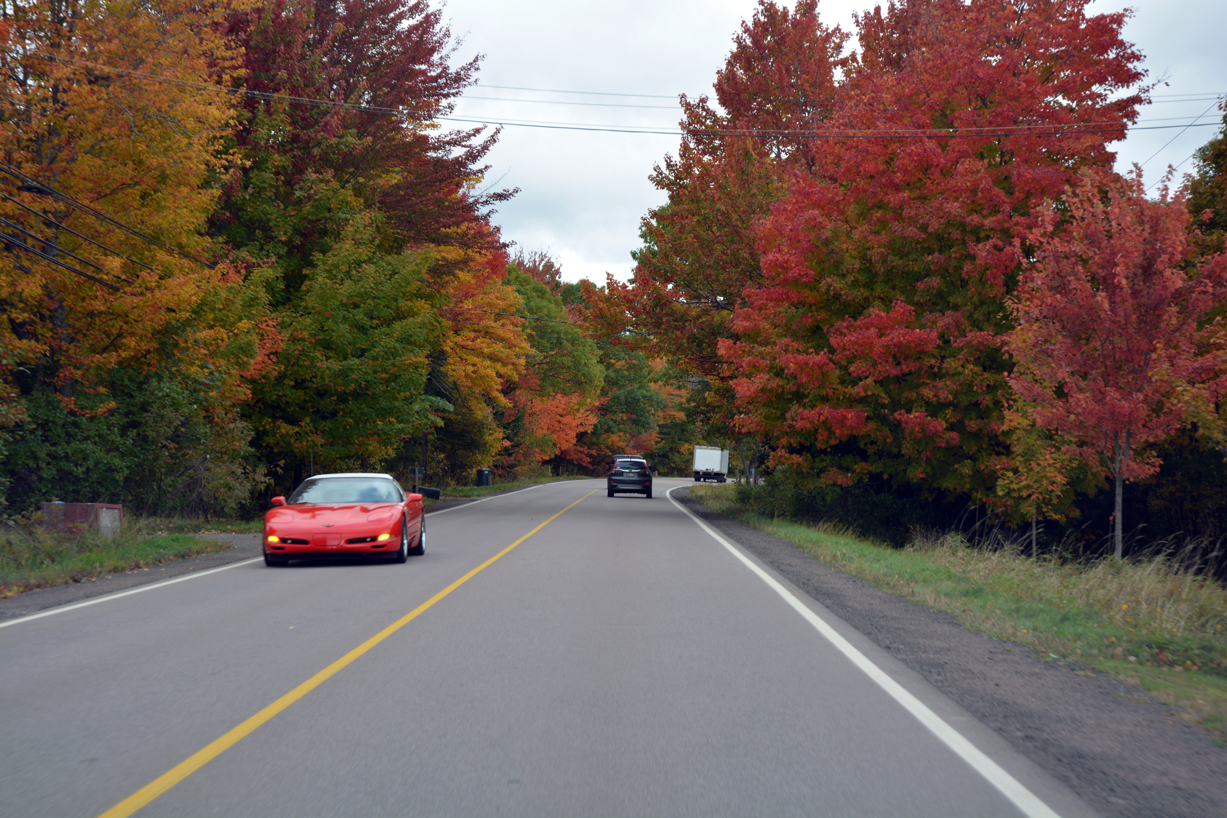
| South and east on the 114. |
|
|
|
|
"Celebrating 17 million seedlings planted in 2024" |
|
|
|
|
|
. |
|
|
|
|
|
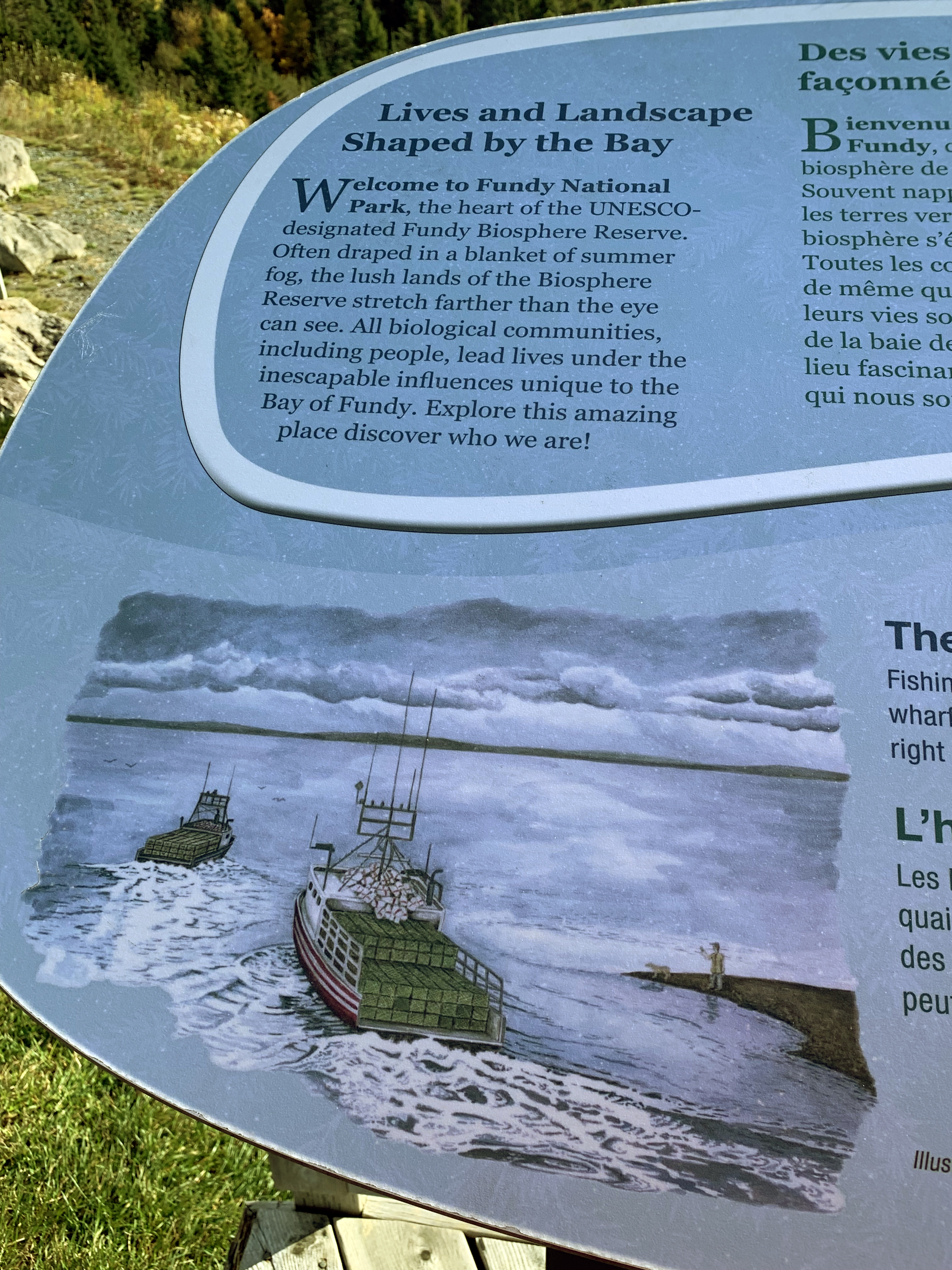
Fundy National Park Observation platform on the right. |
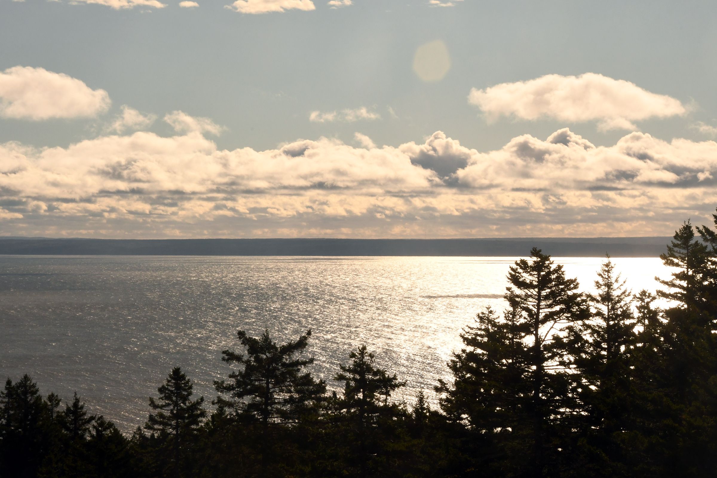
| The Bay of Fundy... |
|
|
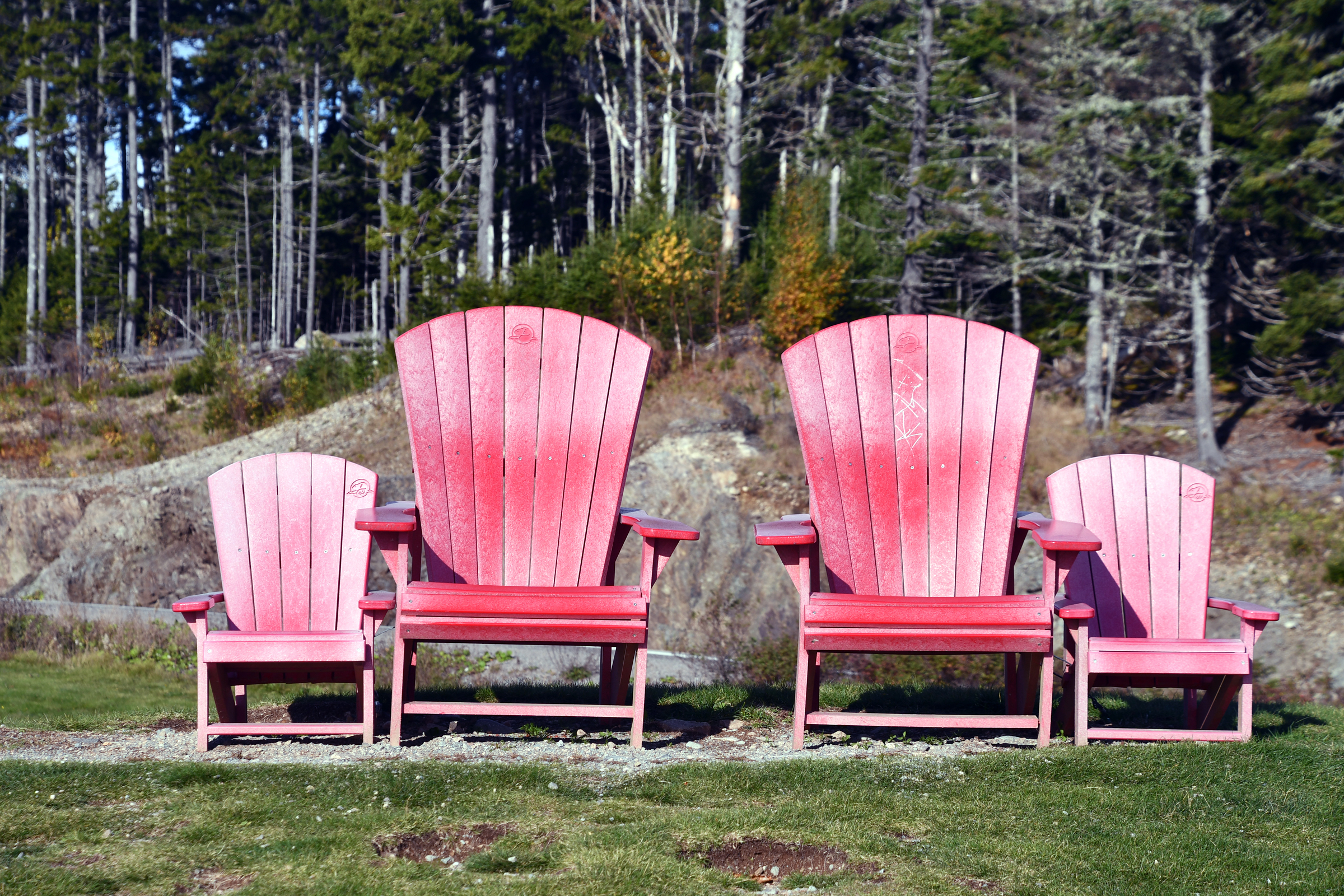
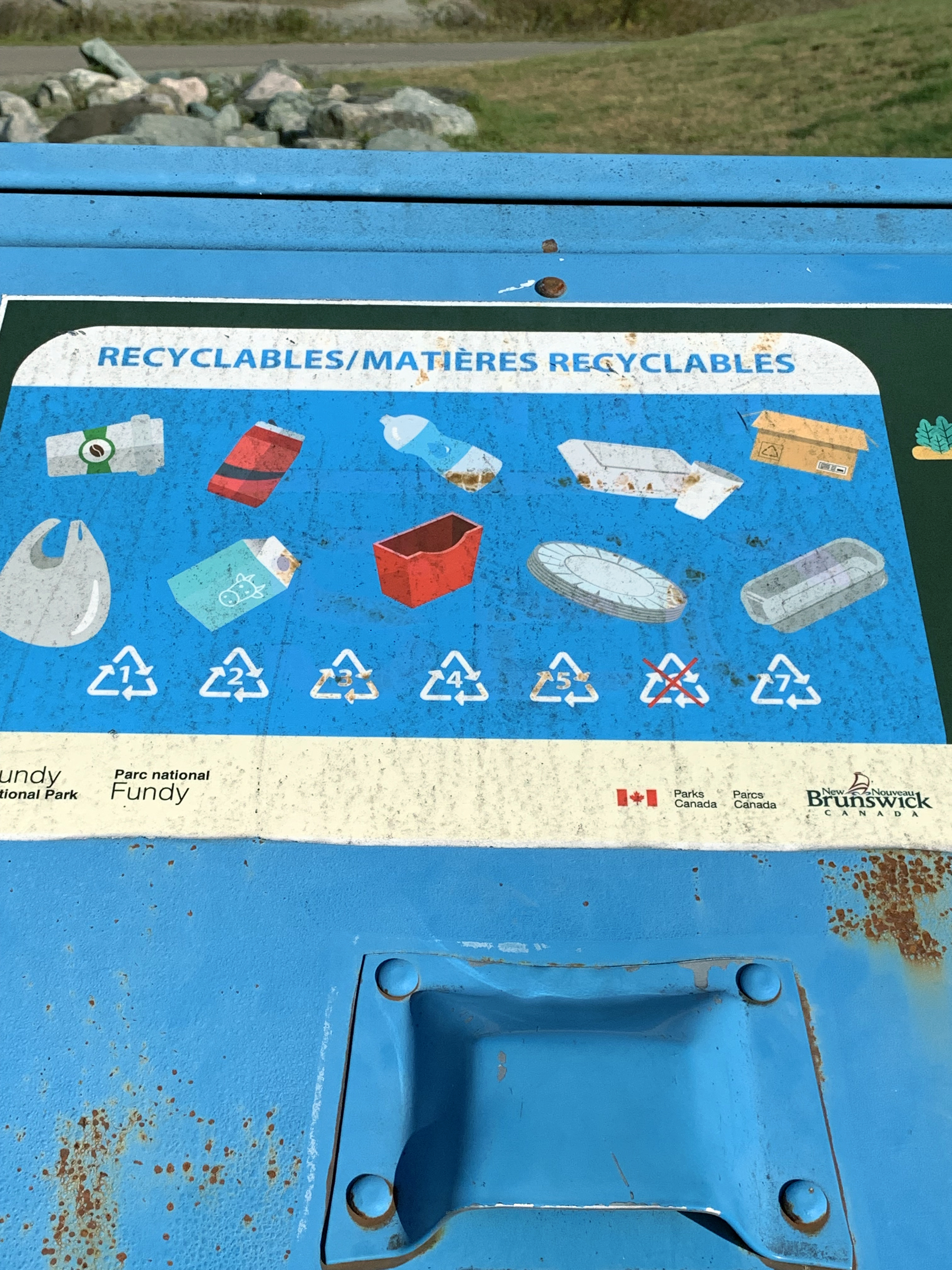
| and a viewing platform. |
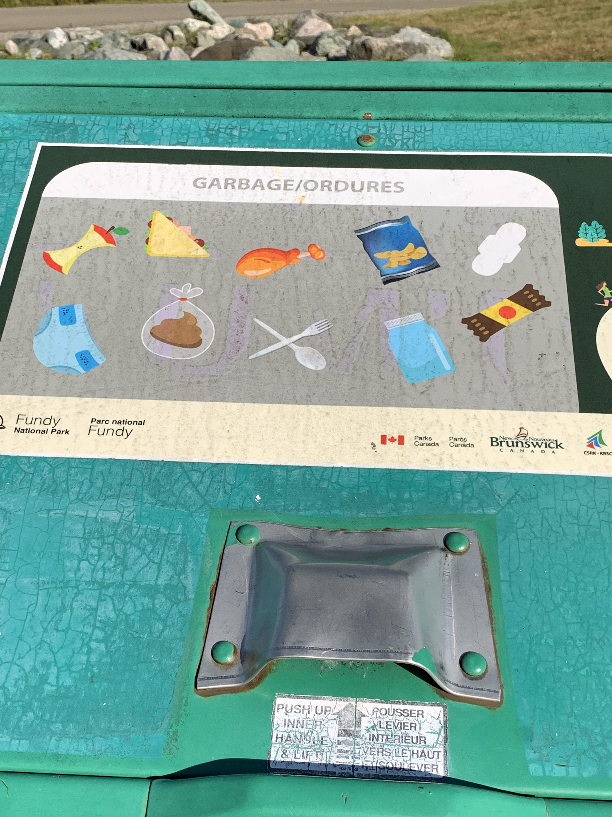
with the requisite Cap Cod chairs |
and recycling bins. |
|
|
|
|
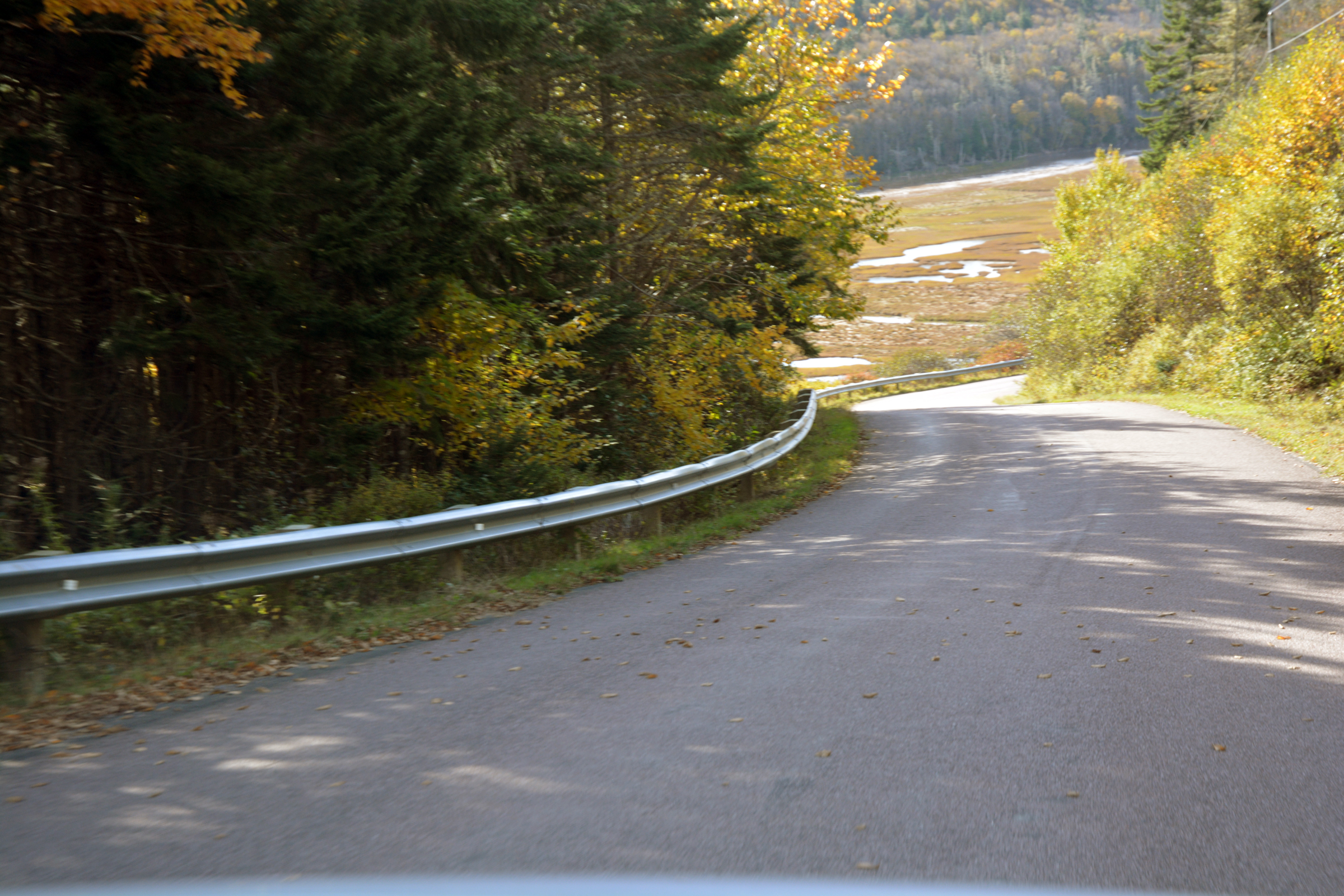
Approaching Alma and the Fundy coastline. |
|
|
|
|
|
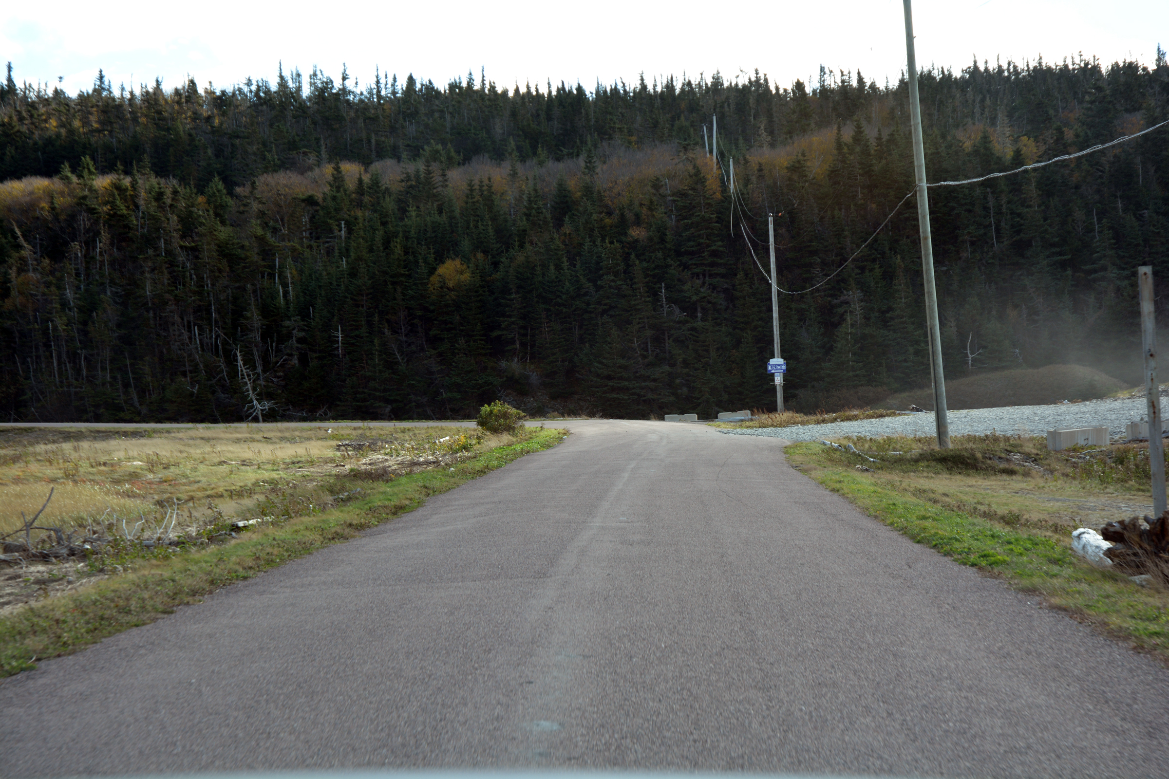
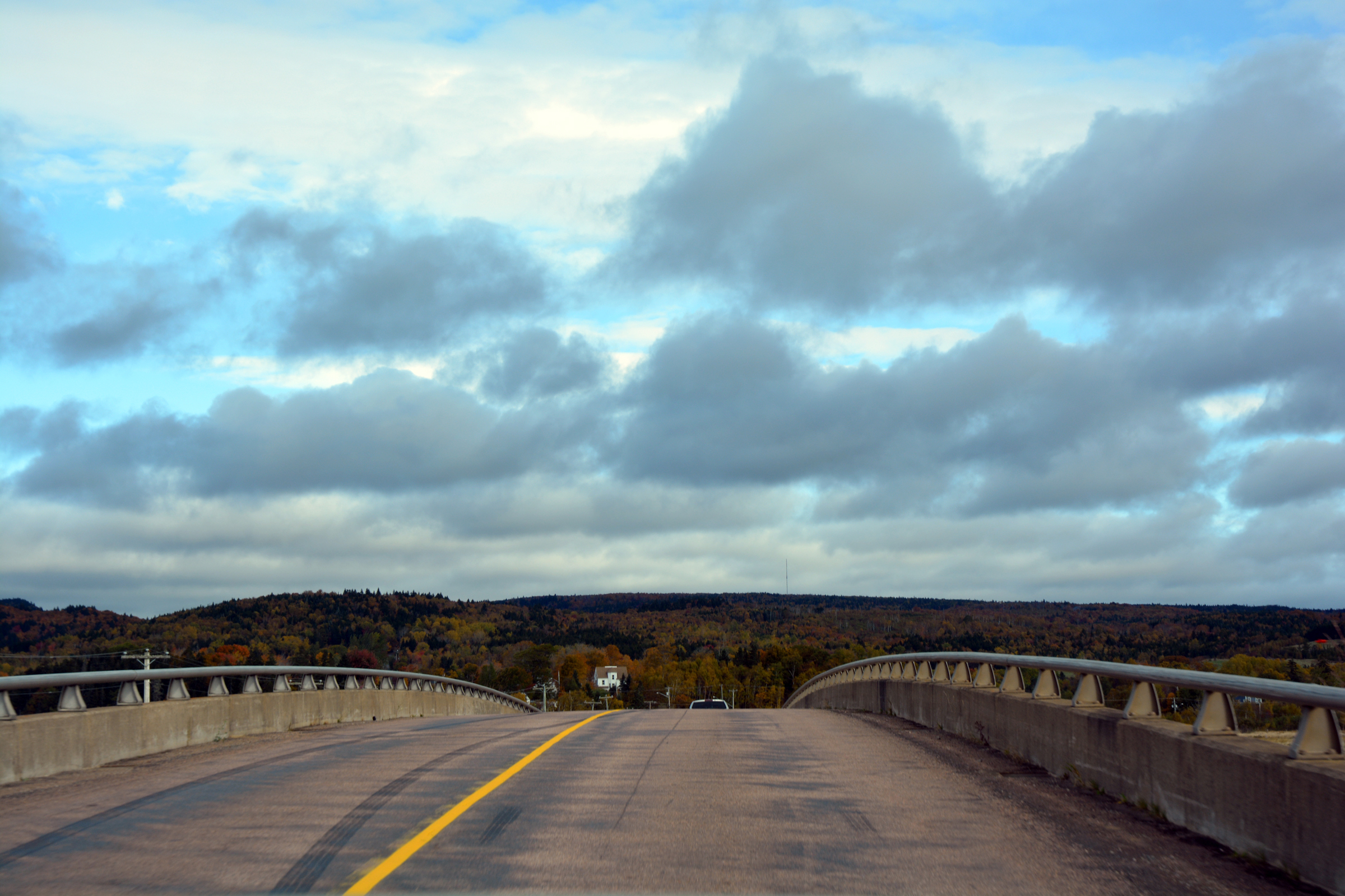
The turnoff to Cape Enrage is just over the bridge. |
|
|
|
|
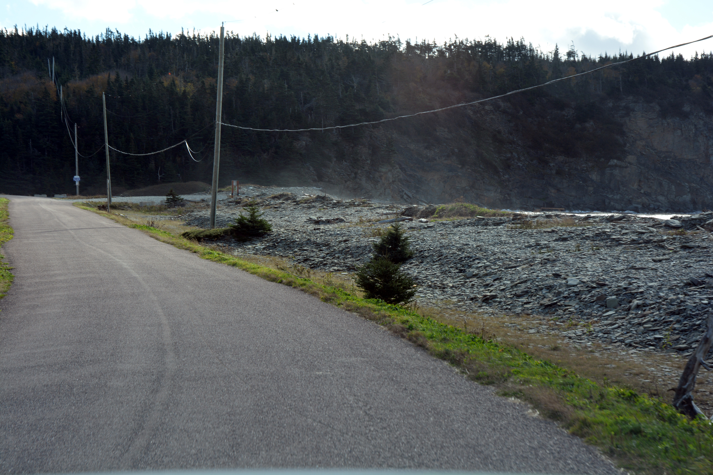
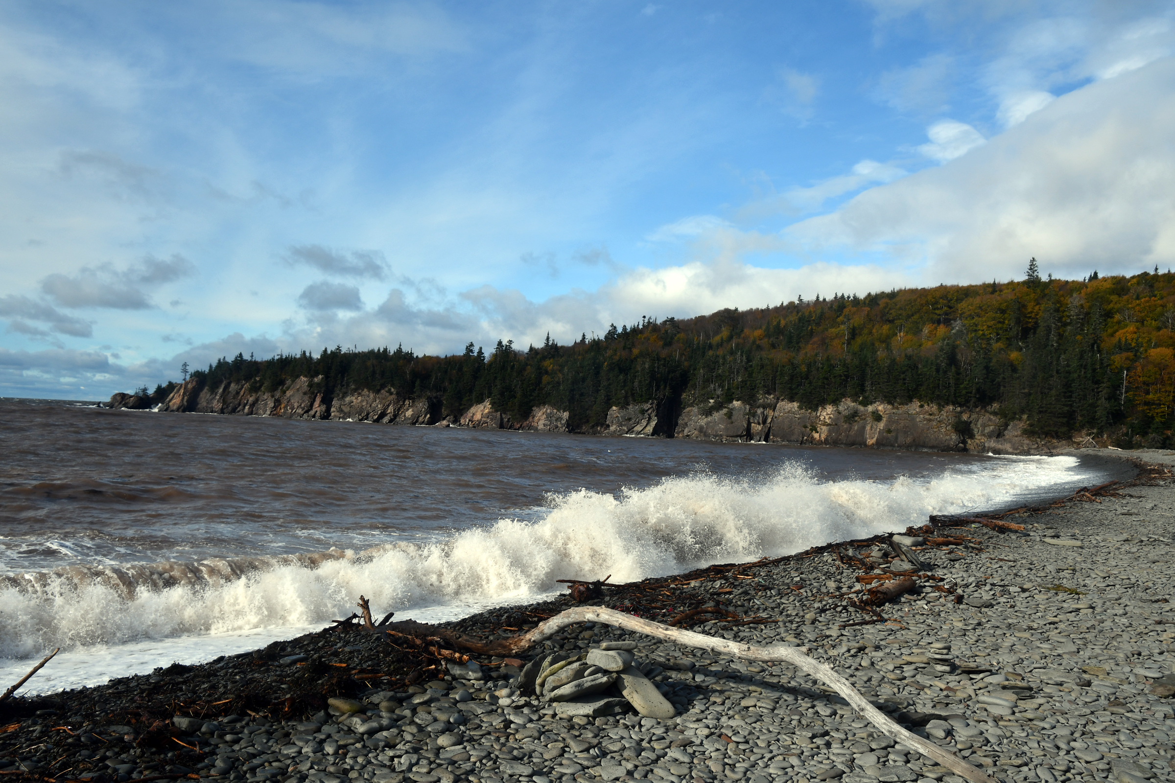
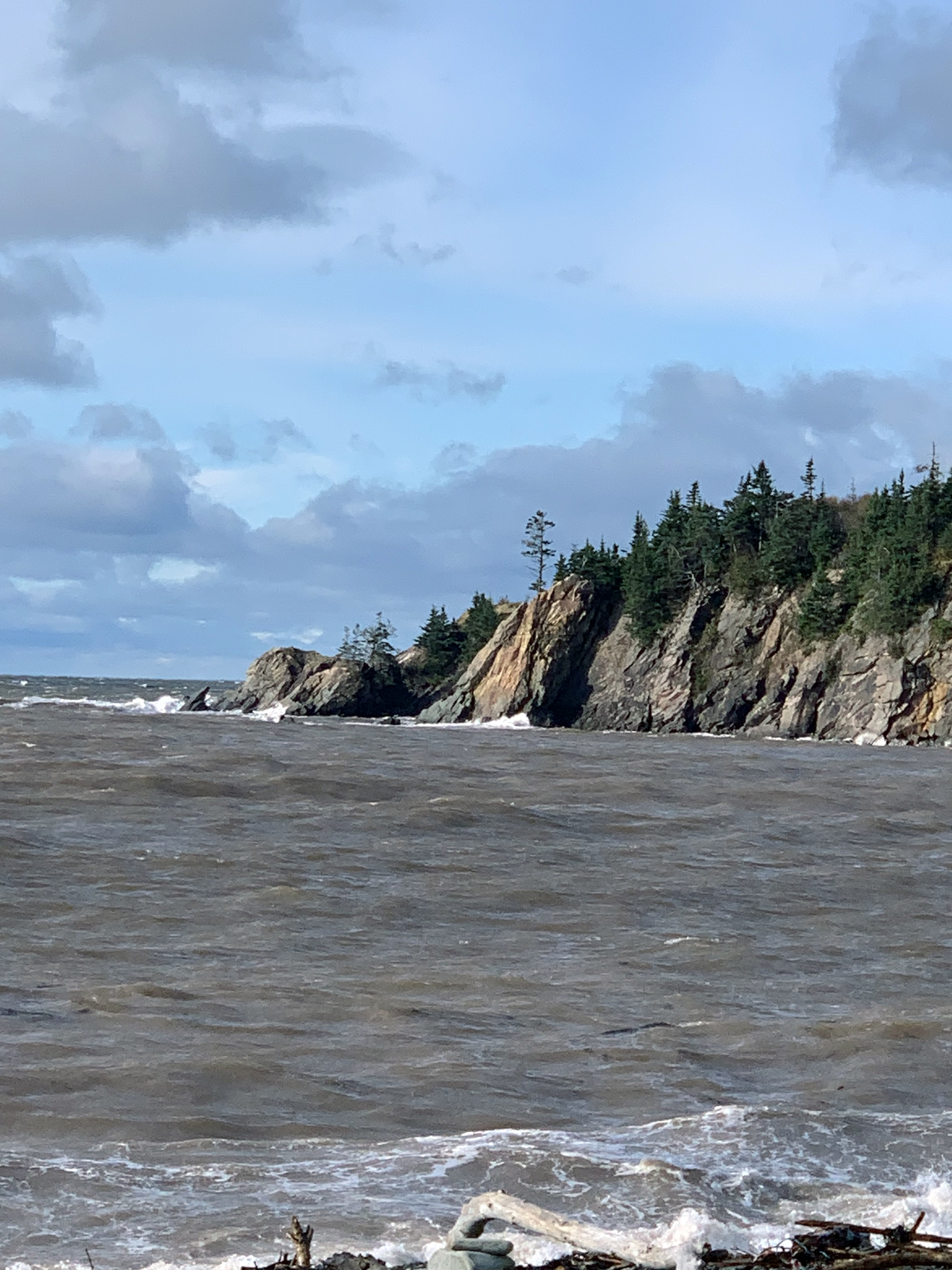
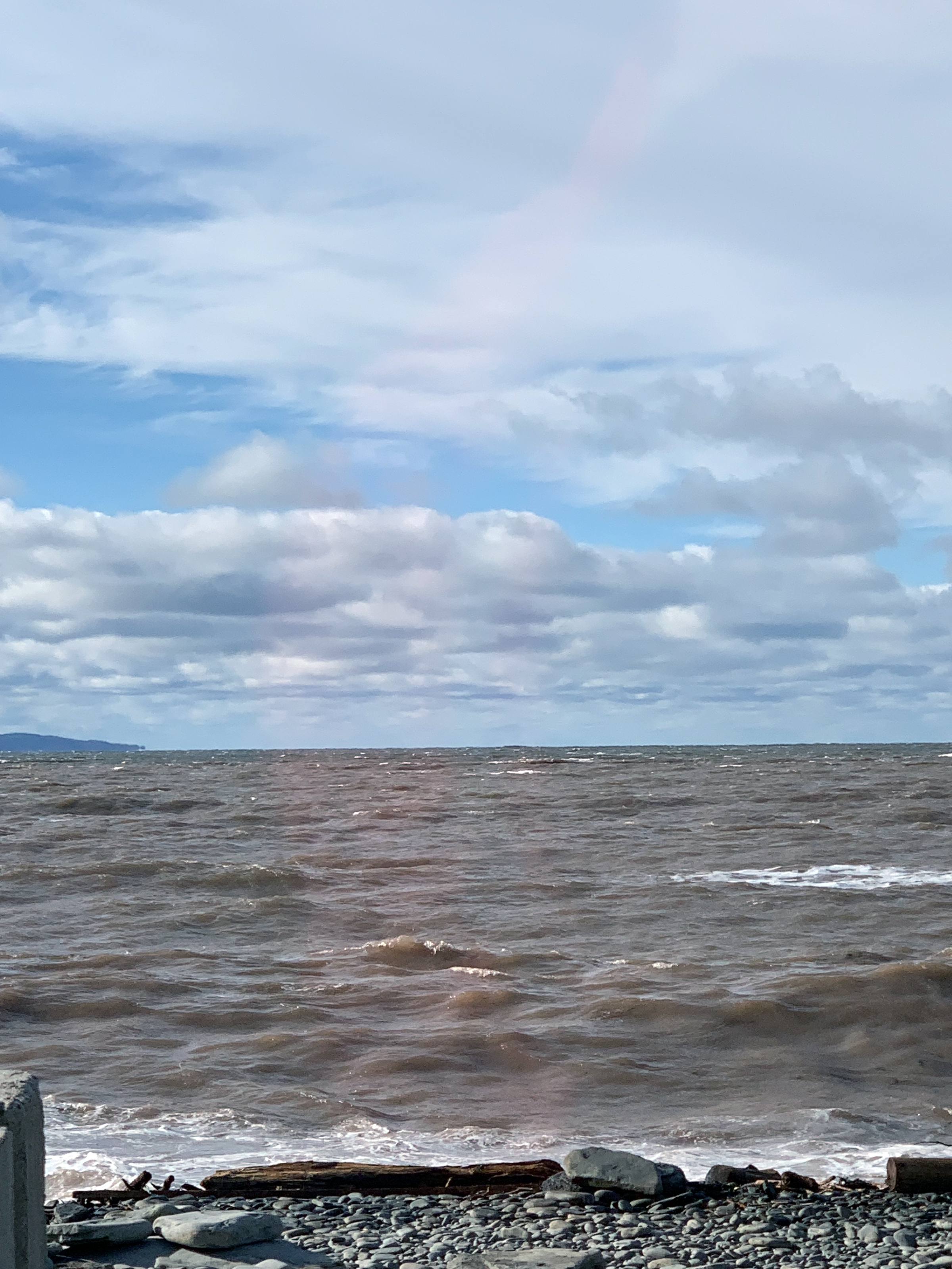
| Pebble Beach, just before the final climb to Cape Enrage |
|
|
|
|
|
|
|
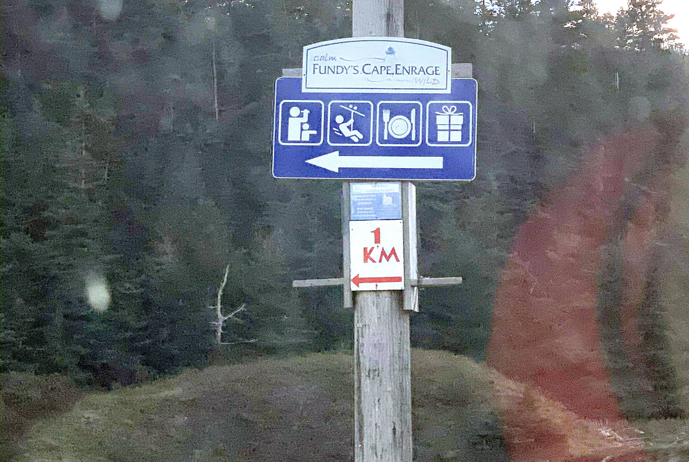
1km to viewing, adventures, dining and gift shop - NOT! |
|
What might have been... |
|
|
|
|
Cape Enrage to Hopewell Rocks
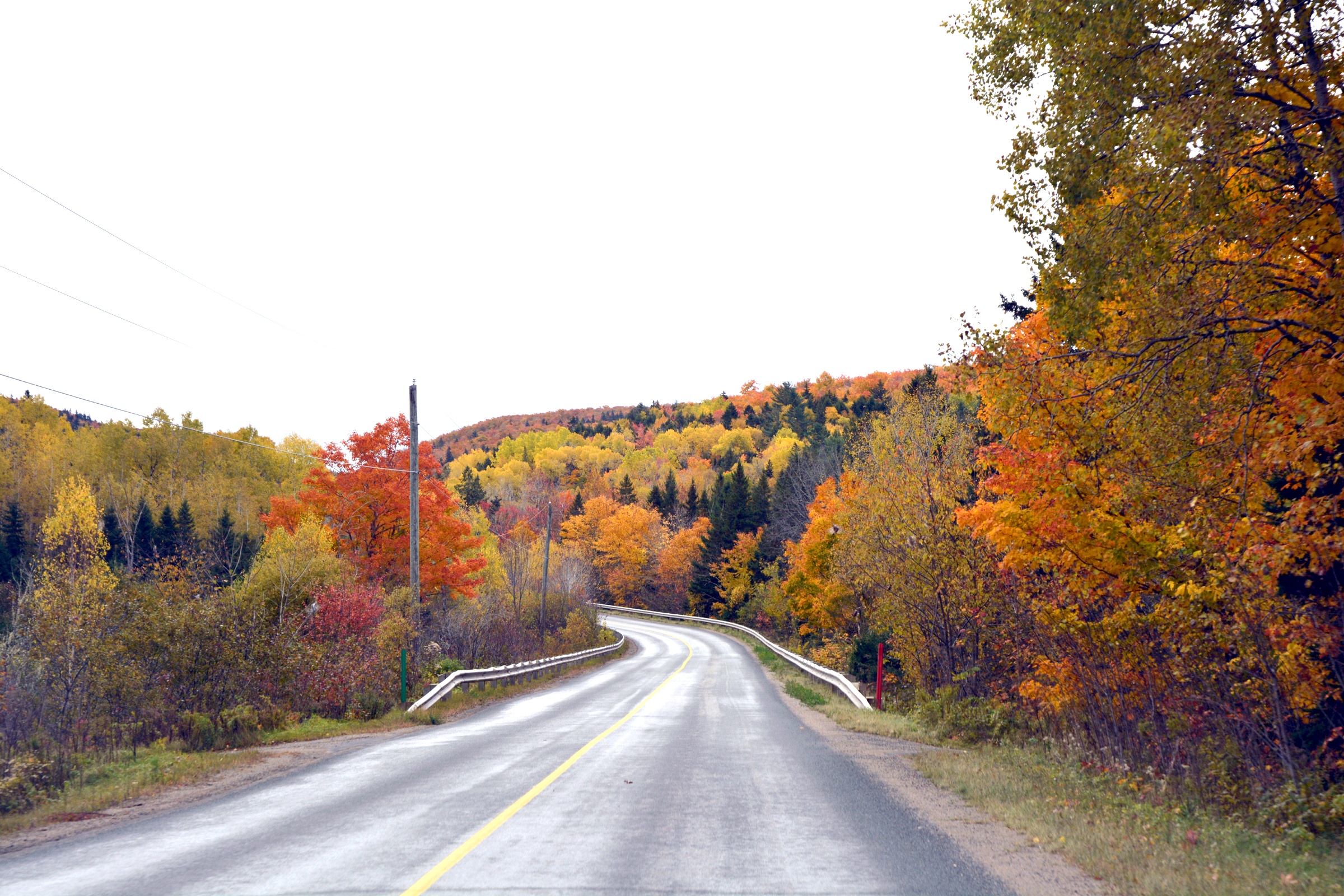
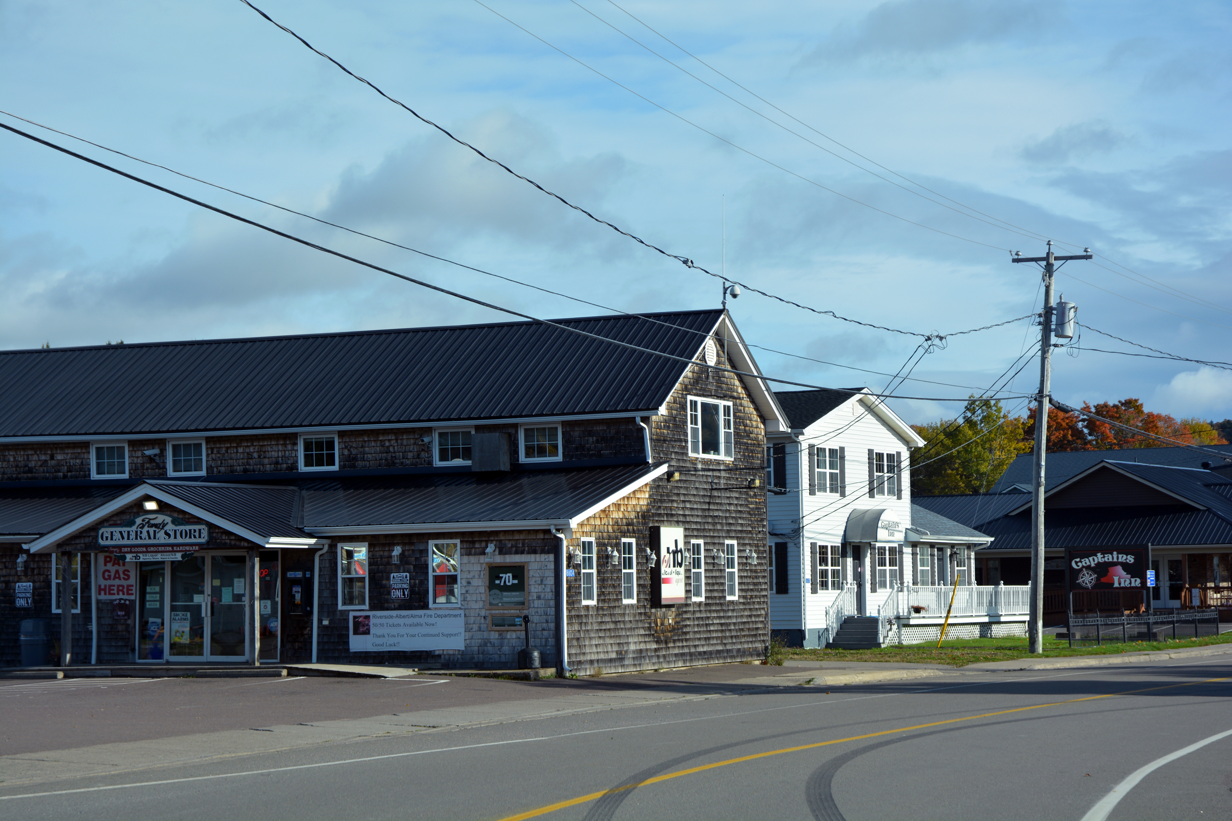
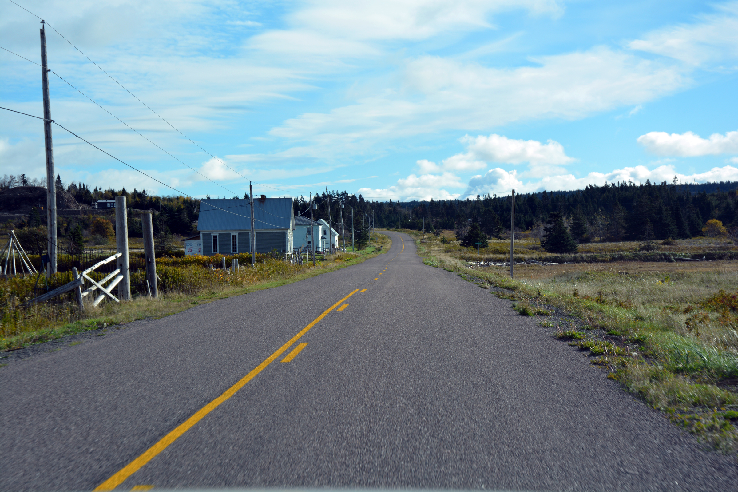
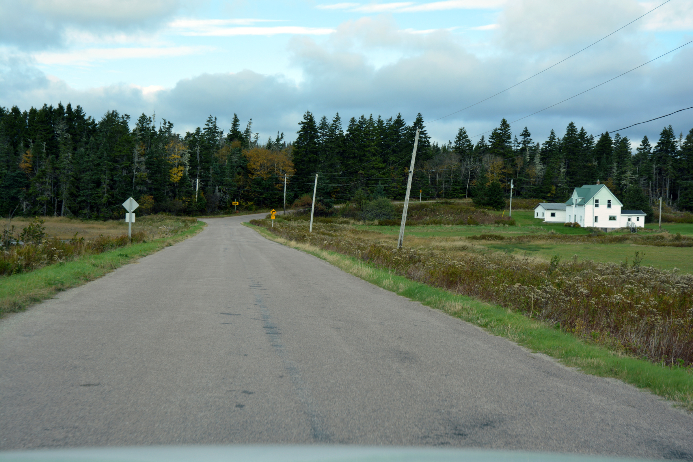
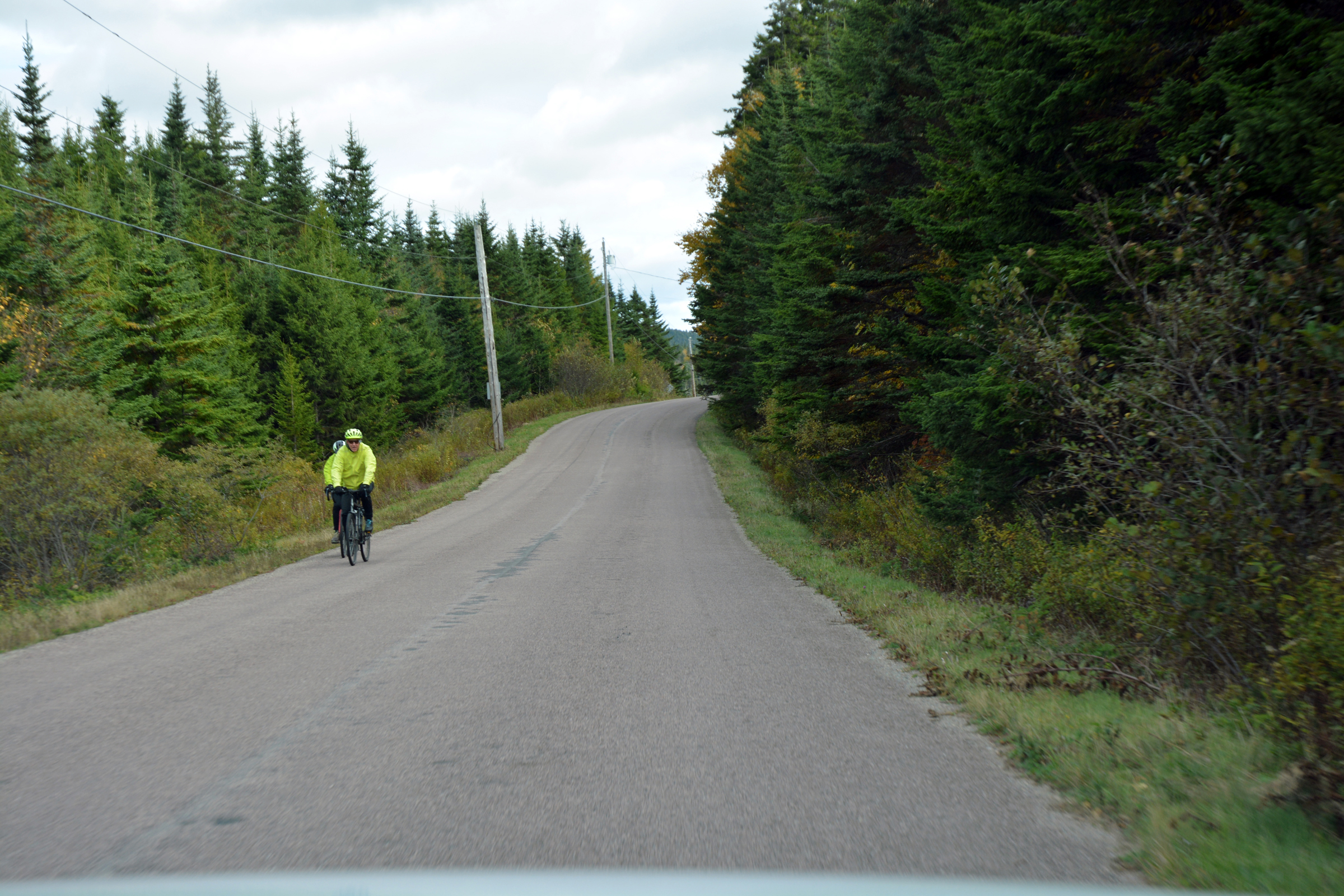
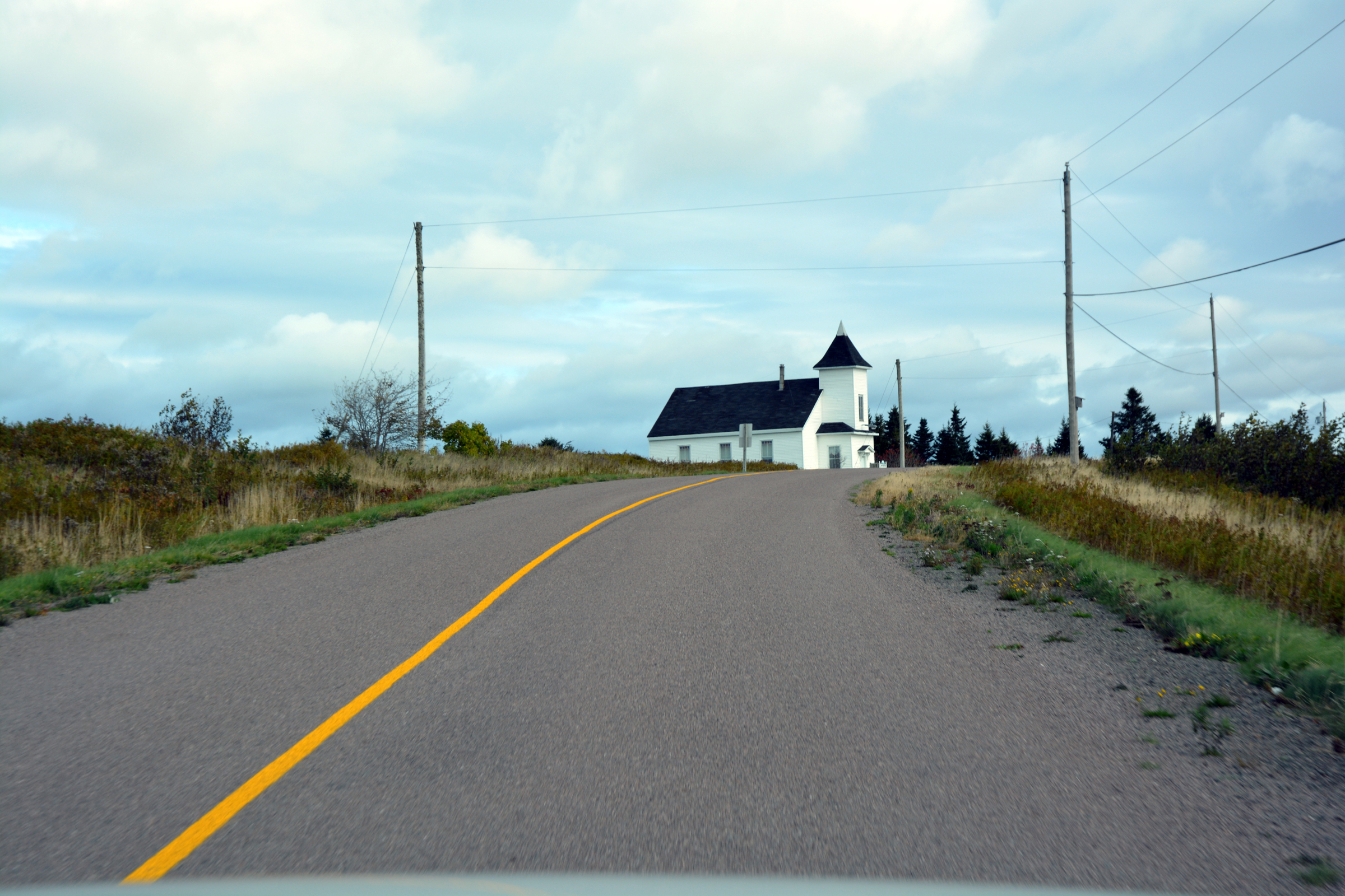
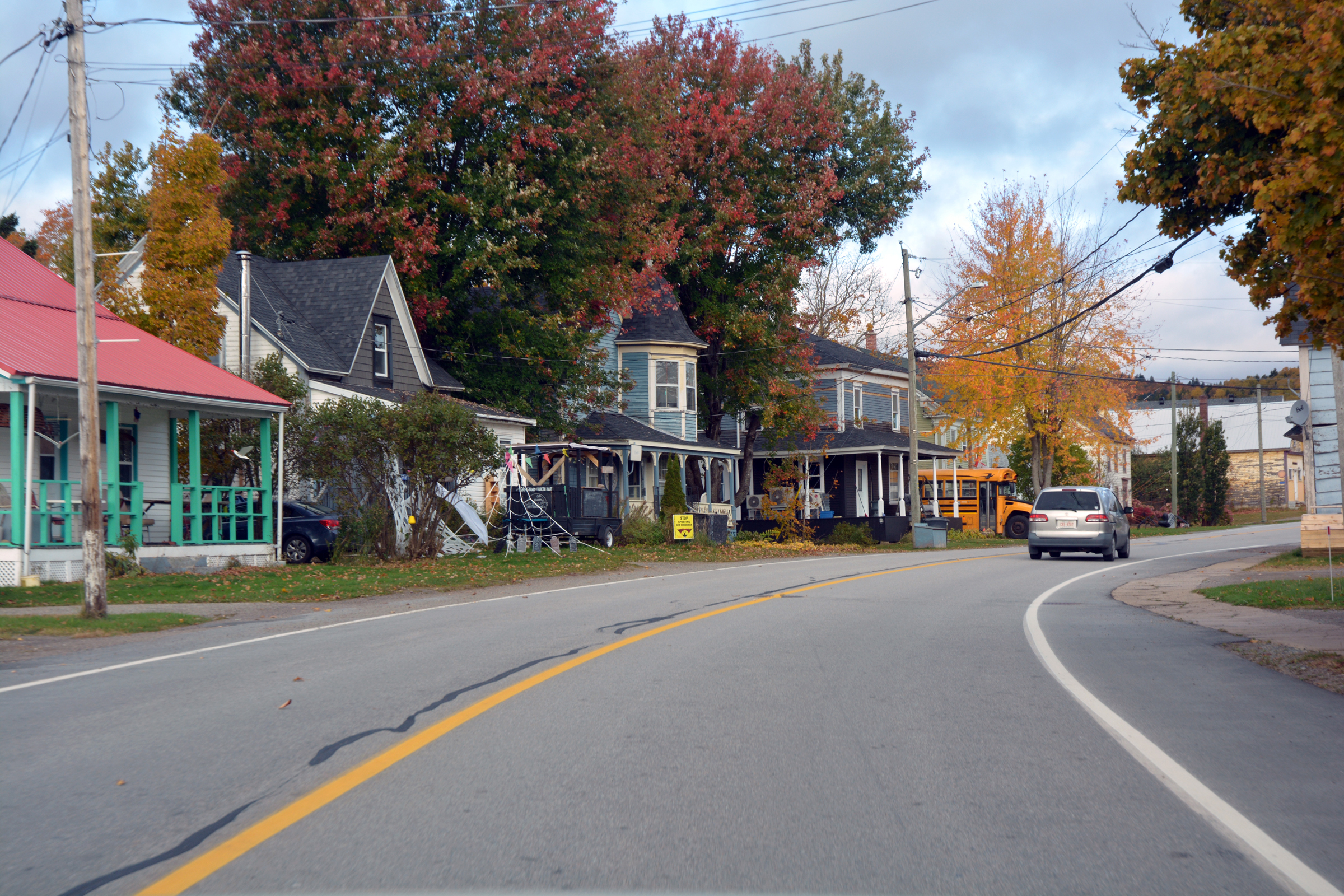
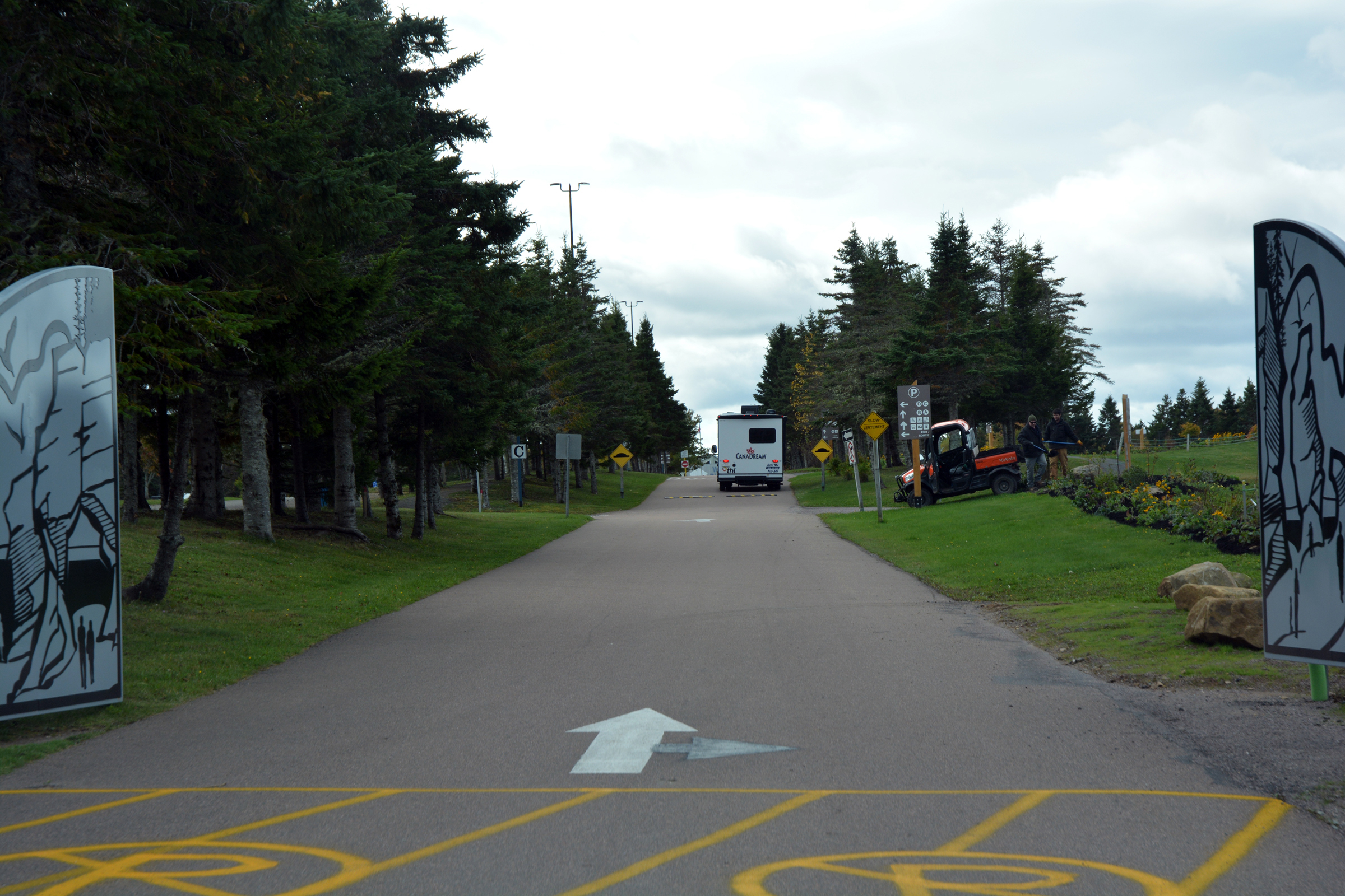
The road north from Cape Enrage (what an apposite name) passes through farming country before rejoining the main road at Riverside-Albert. We then followed the 114 north to the turn-off to Hopewell Rocks. This location has a large car park, with plenty
of spaces for motor homes, caravans (RVs) and buses, but it was all rather empty.
|
They will be disappointed to find the cafe closed. |
|
|
|
|
|
|
|
|
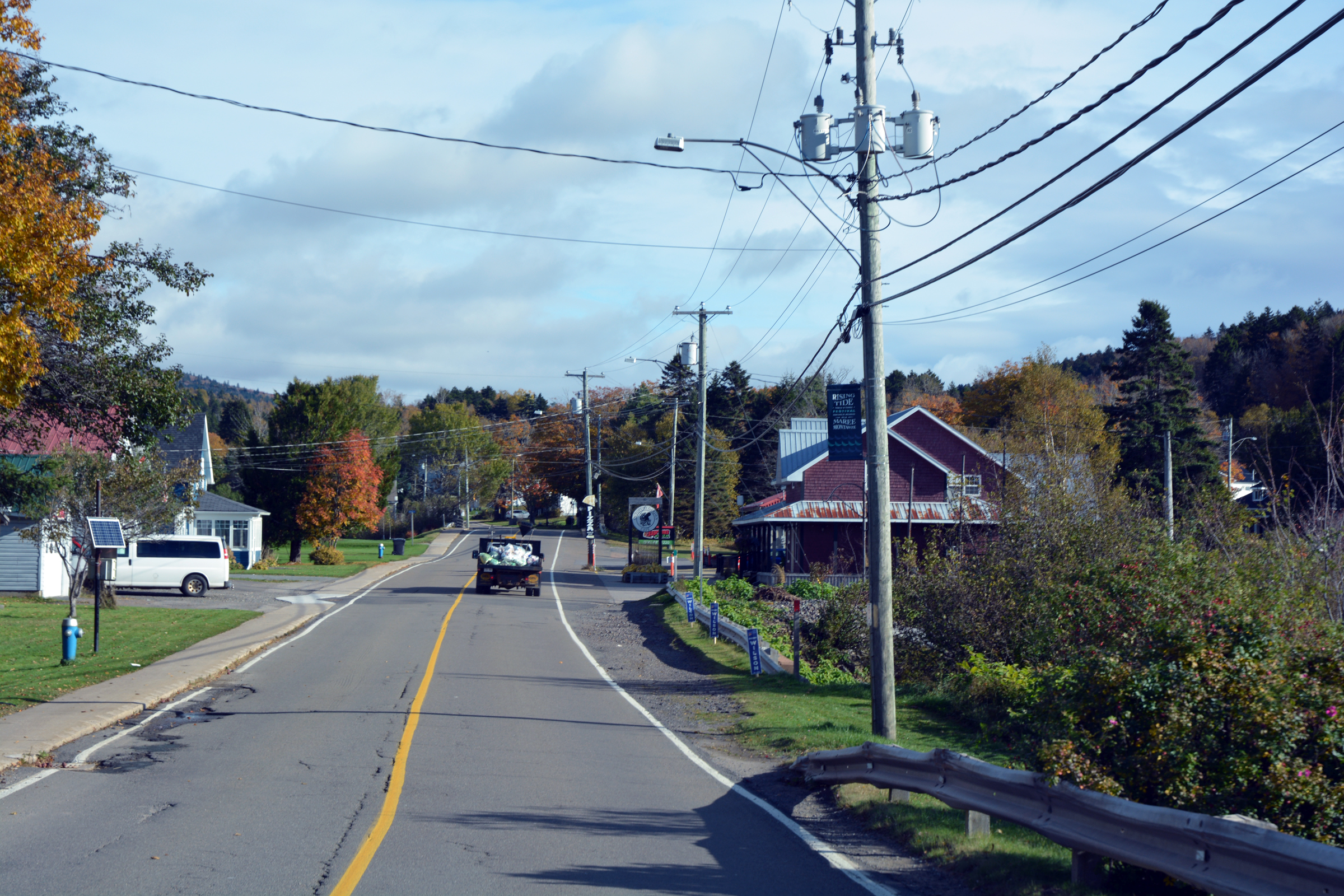
Riverside-Albert |
|
| North on the 114 |
|
|
| The turnoff to Hopewell Rocks |
|
|
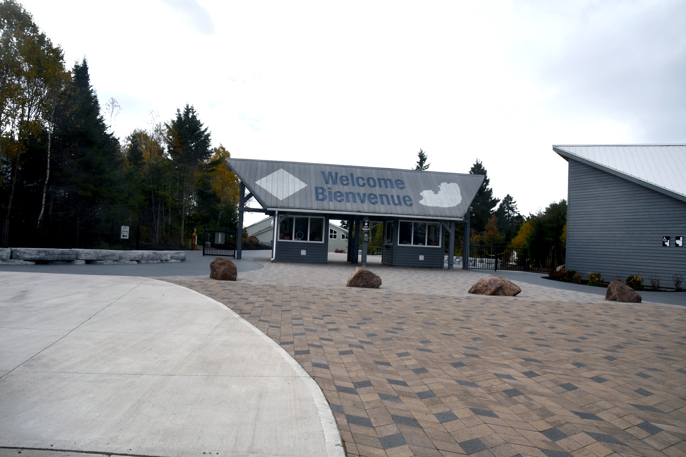
Hopewell Rocks National Park
We paid the steep fee to enter (about $CAN35 despite the old-age discount) but it did allow us access for 2 consecutive days (useless as far as I can see). We then walked past the visitor centre to the closest viewing platform. Although the weather was fine
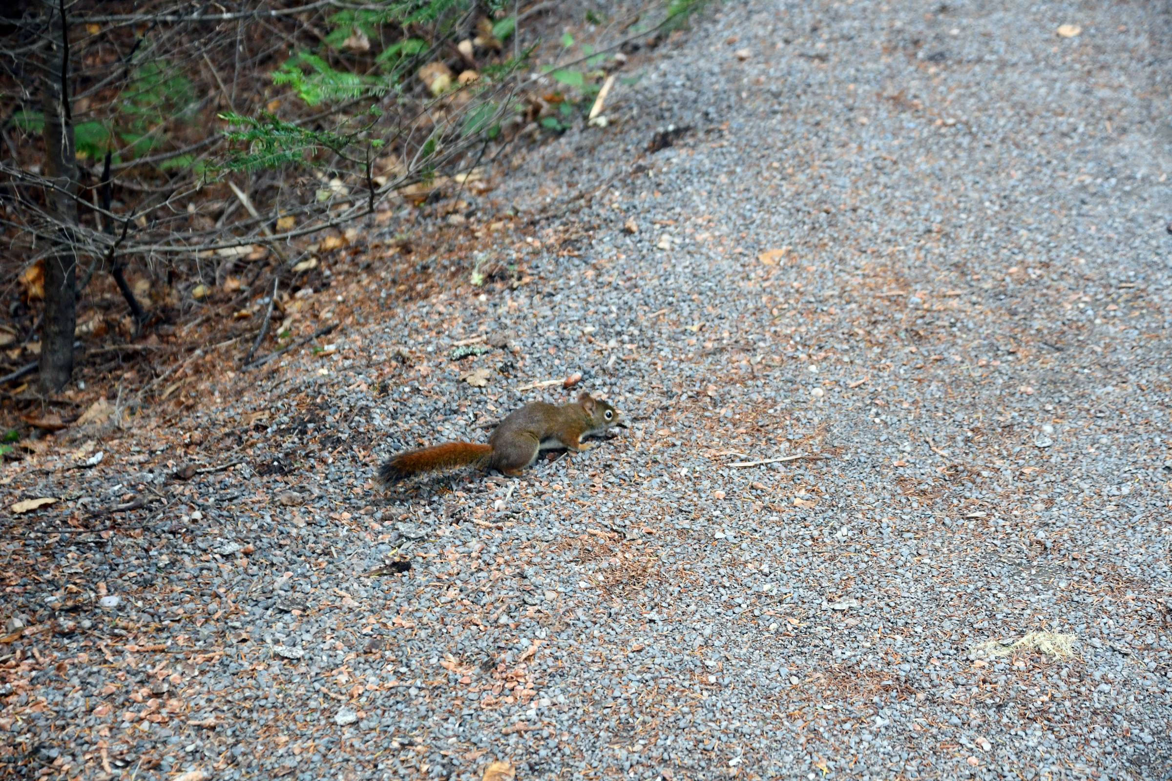
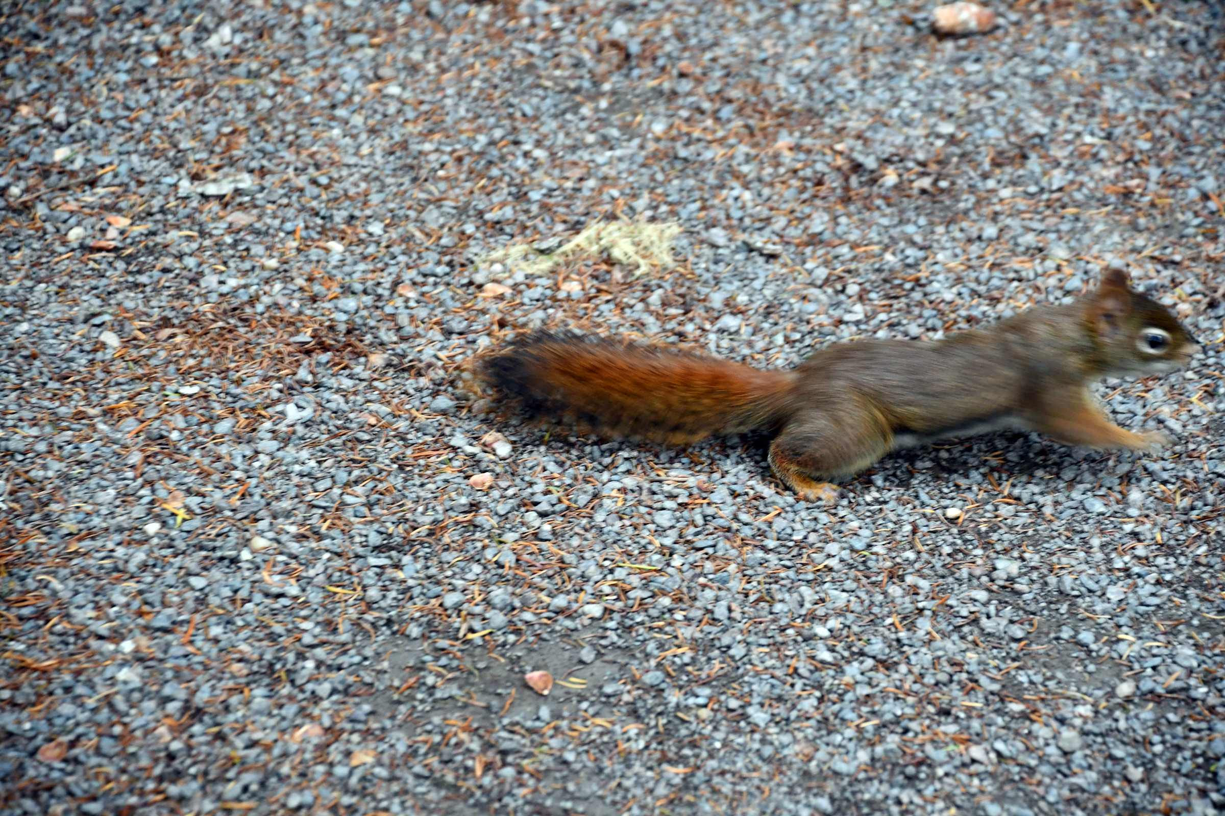
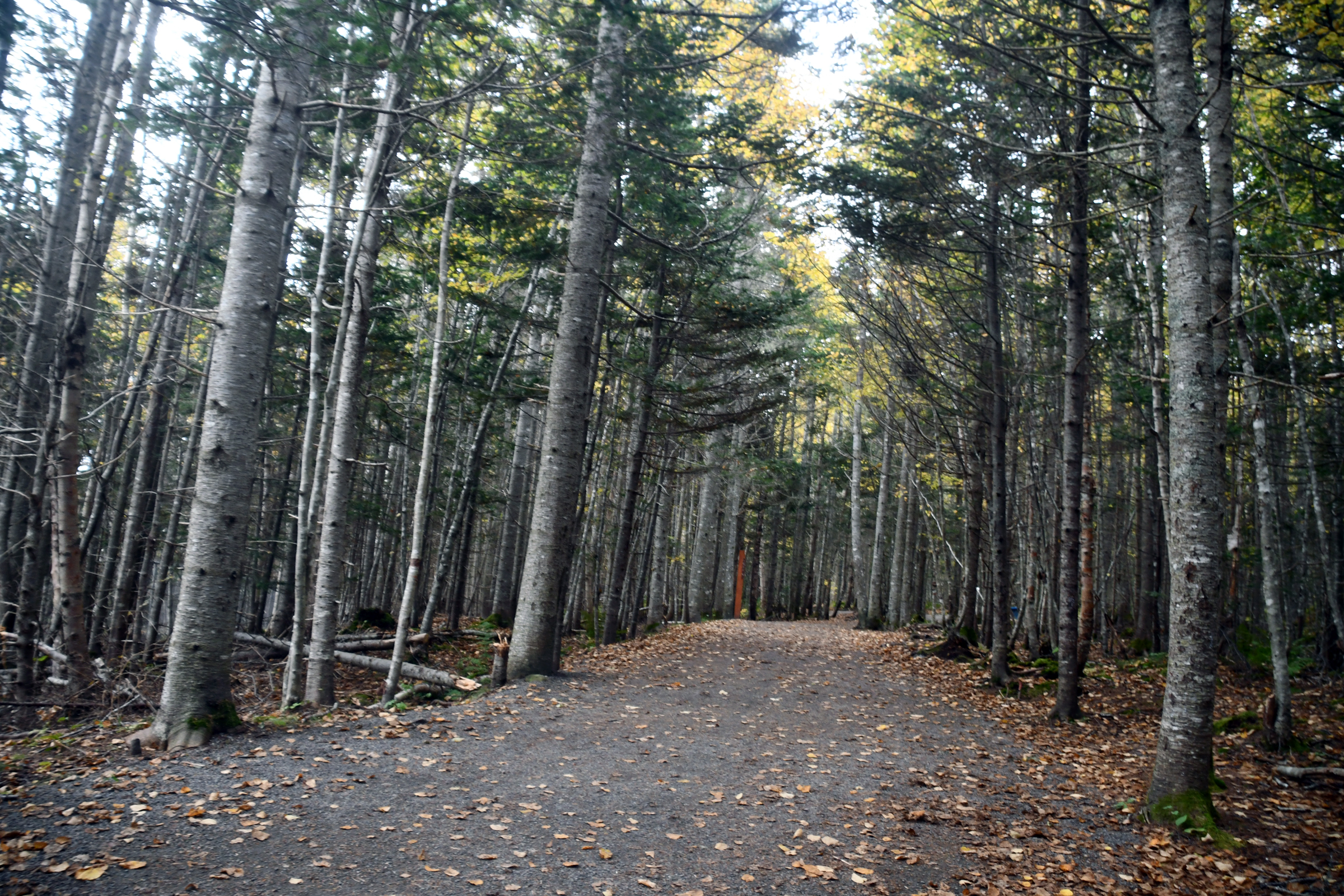
with scattered cloud the air temperature was only about 6C. We arrived just on high tide (which was planned): the tidal range this day was 13.5 metres. I then walked throught he forest, was entertained by a squirrel and eventually reached the step that
allows access to the shore and coastal platform at low tide. There was a ranger on guard at the top to stop anybody foolish enough to brave the high tide. I ten walked back to the visitor centre, which has some good exhibits - it also has a cafe where we stopped
to warm up and to have soup for lunch (Tomato Soup and Acadian fricot - AKA chicken soup).
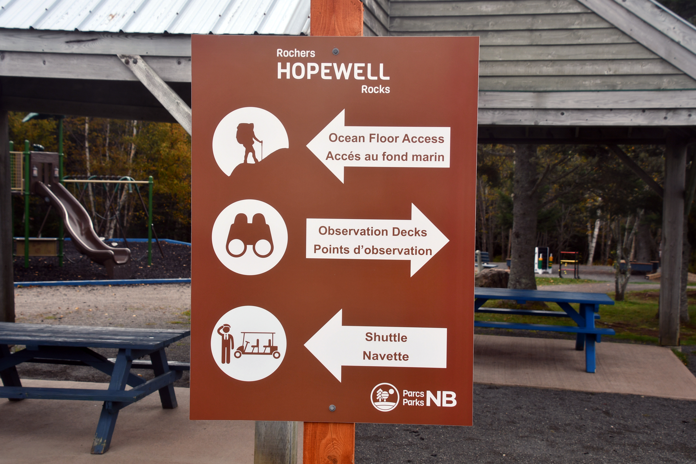
| Welcome - Bienvenue! |
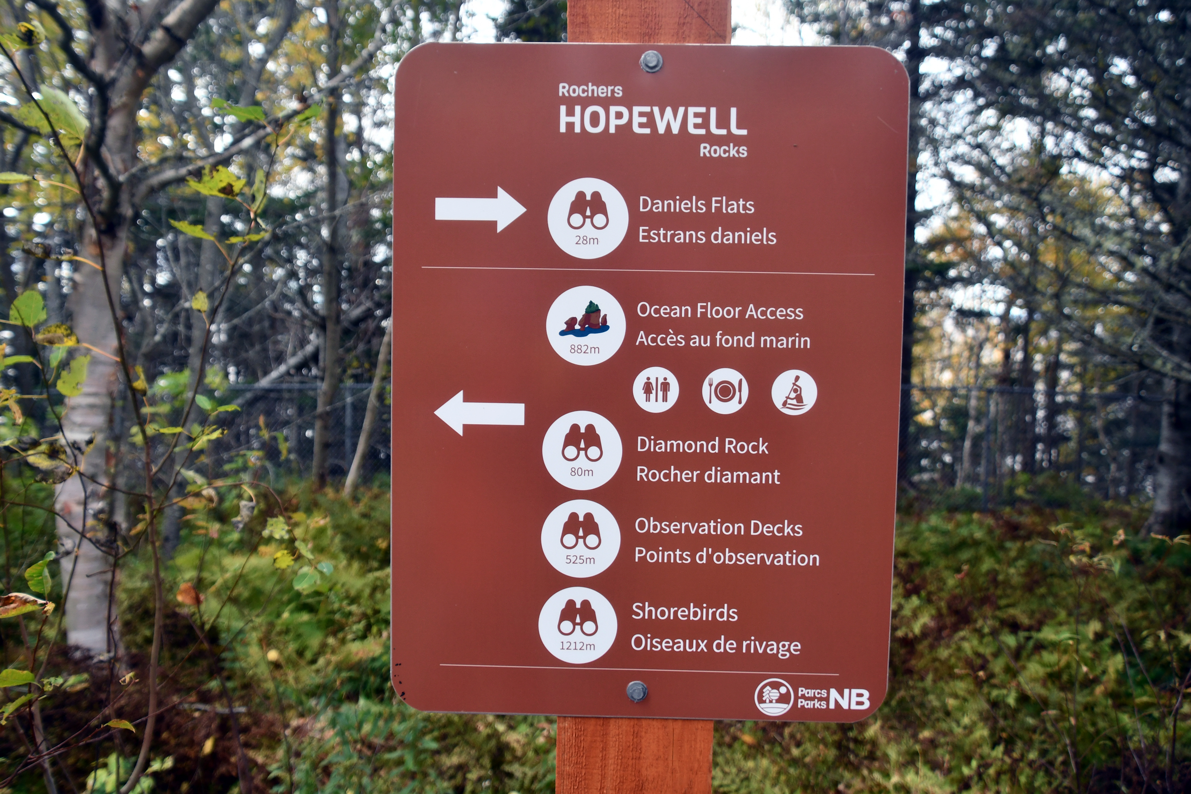
Shall we go left or right? |
|
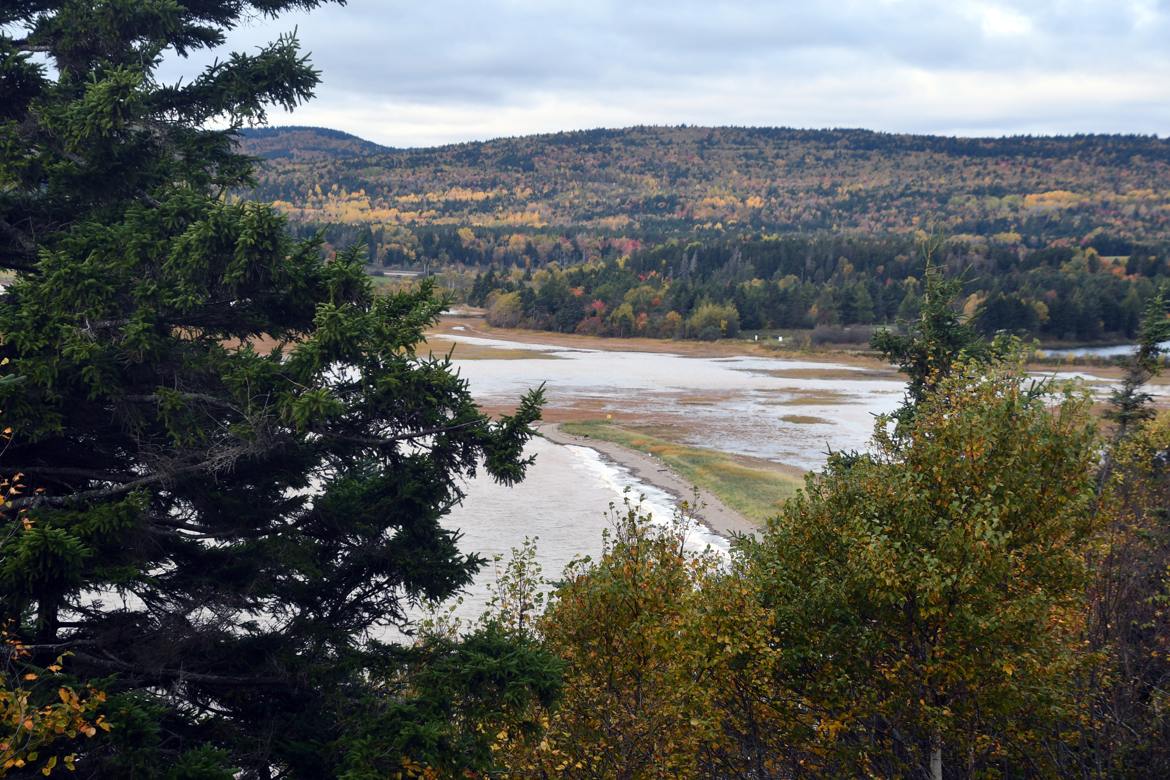
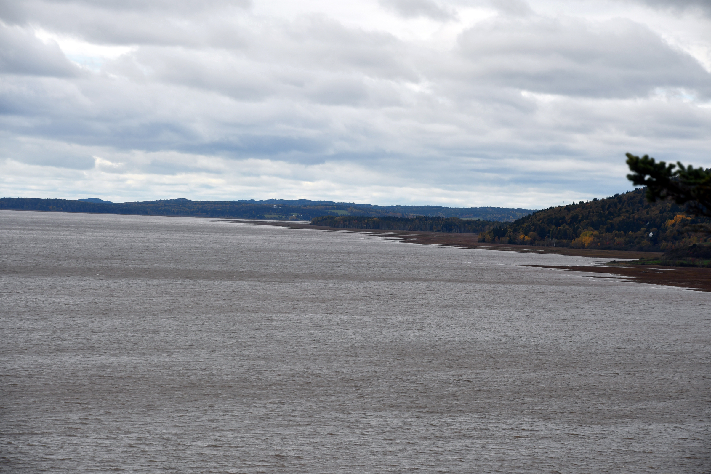
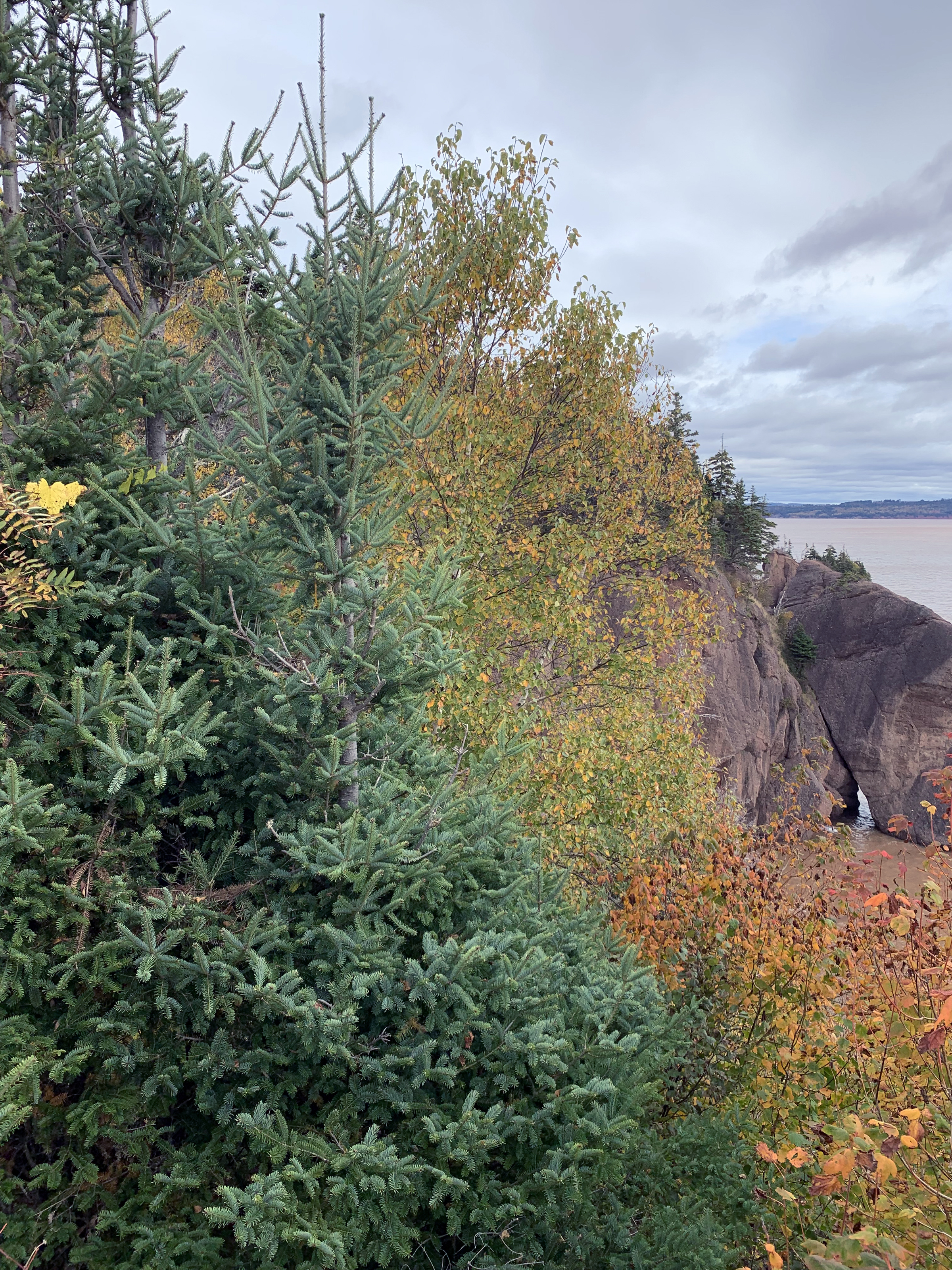
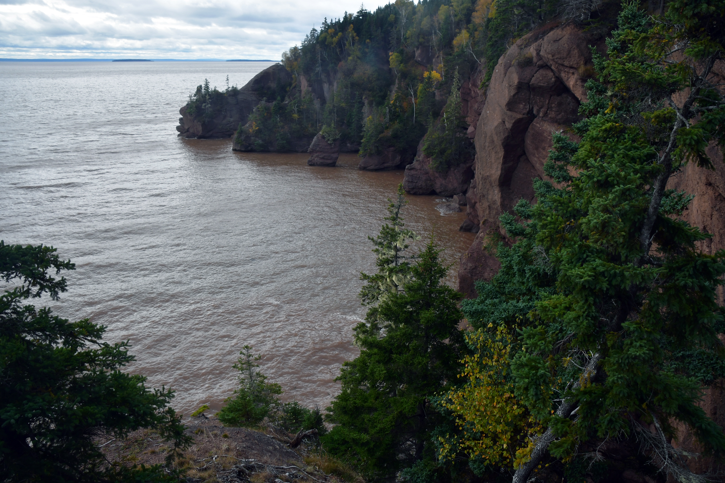
| Right, to look over Daniel's Flats. |
|
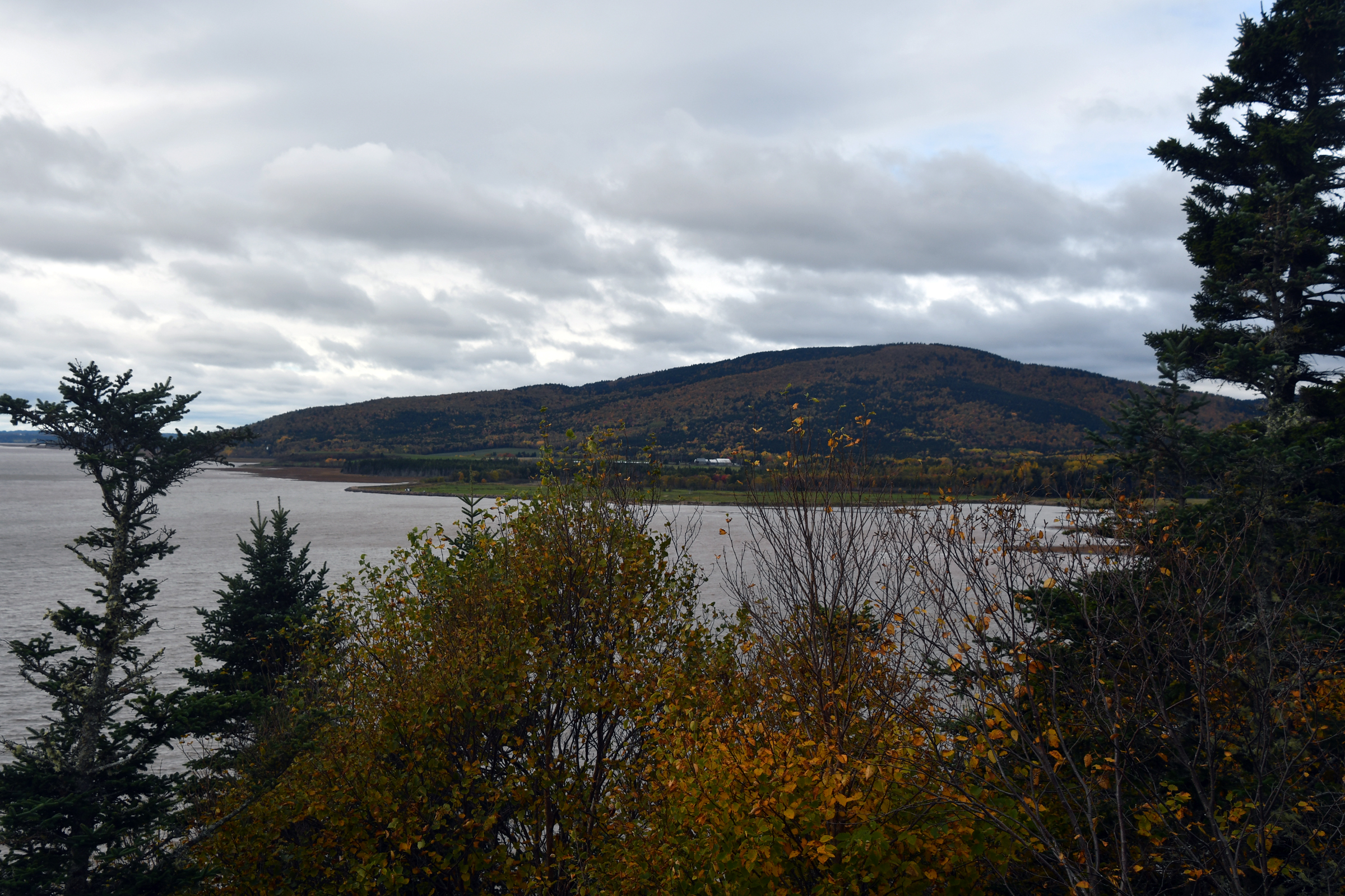
And Fundy with the high tide |
|
|
|
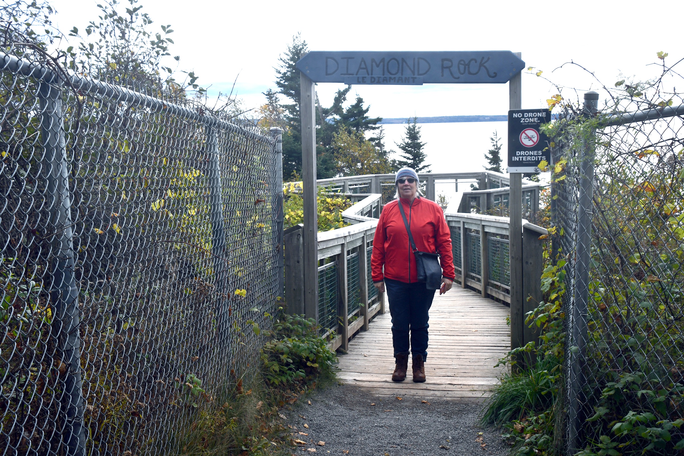
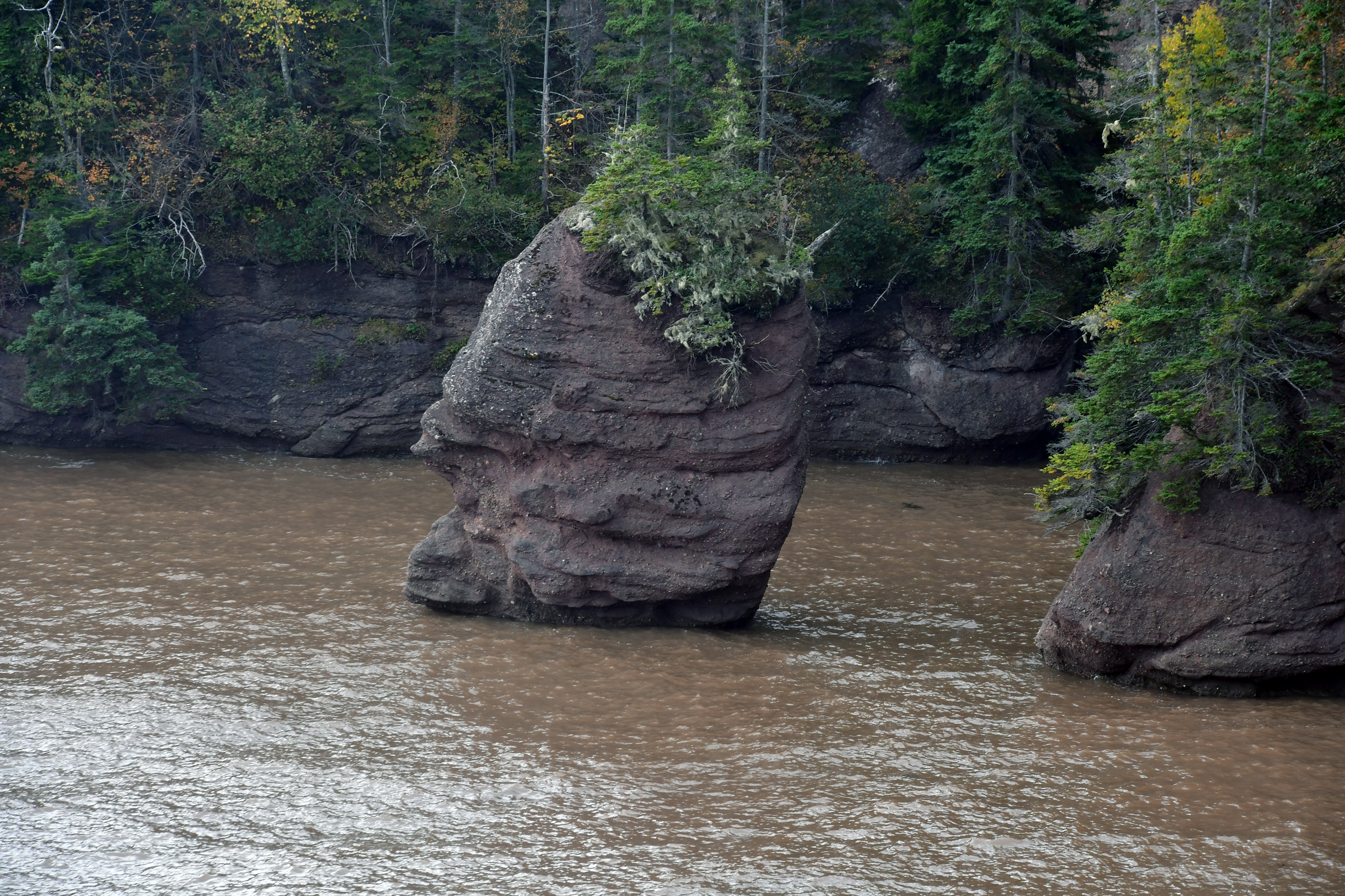
| Diamond Rock |
Yes it was cold... |
|
|
|
|
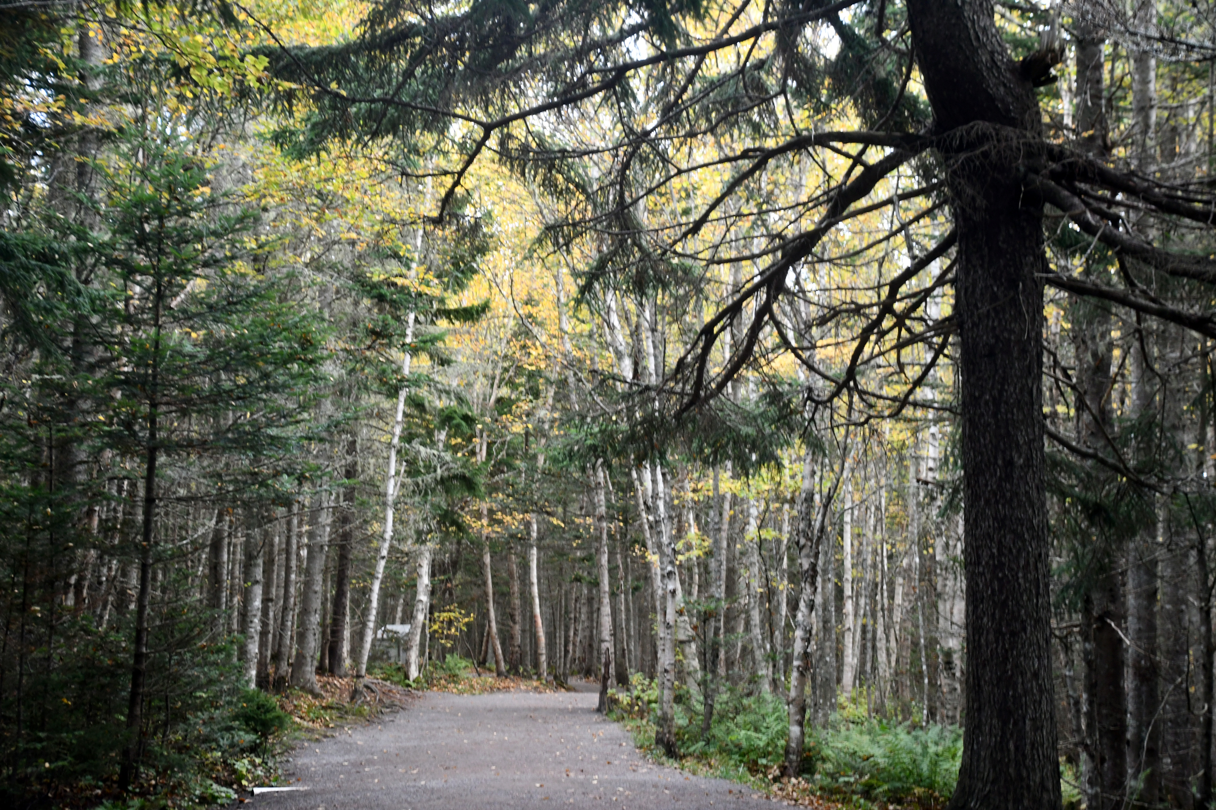
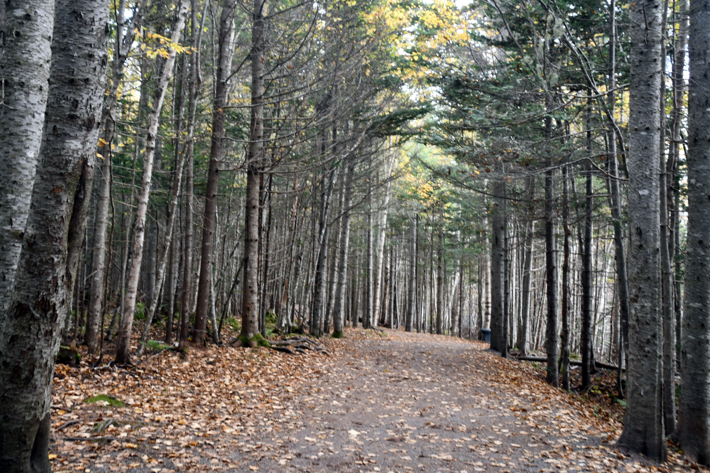
| Path through the forest |
|
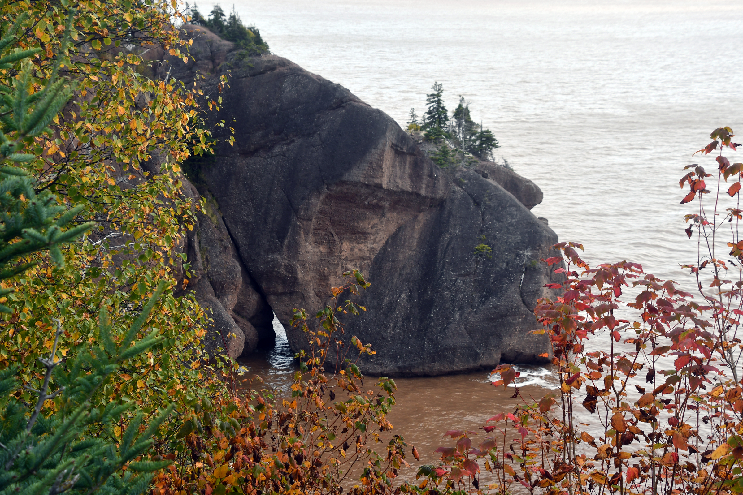
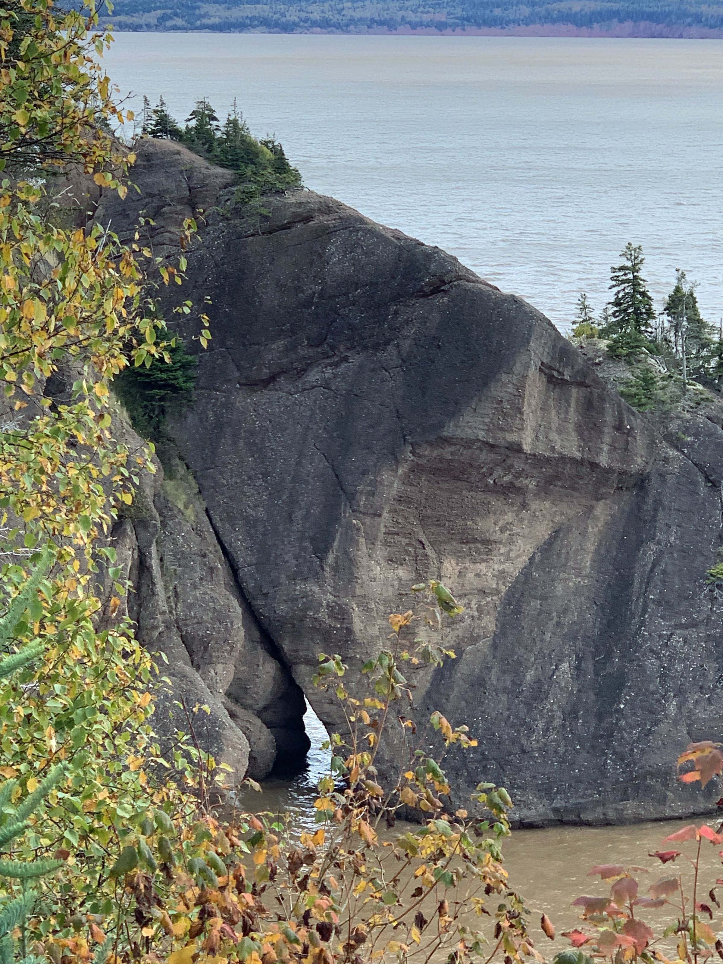
Elephant Rock viewing platform |
|
|
|
|
|
|
| Free entertainment.. |
|
|
|
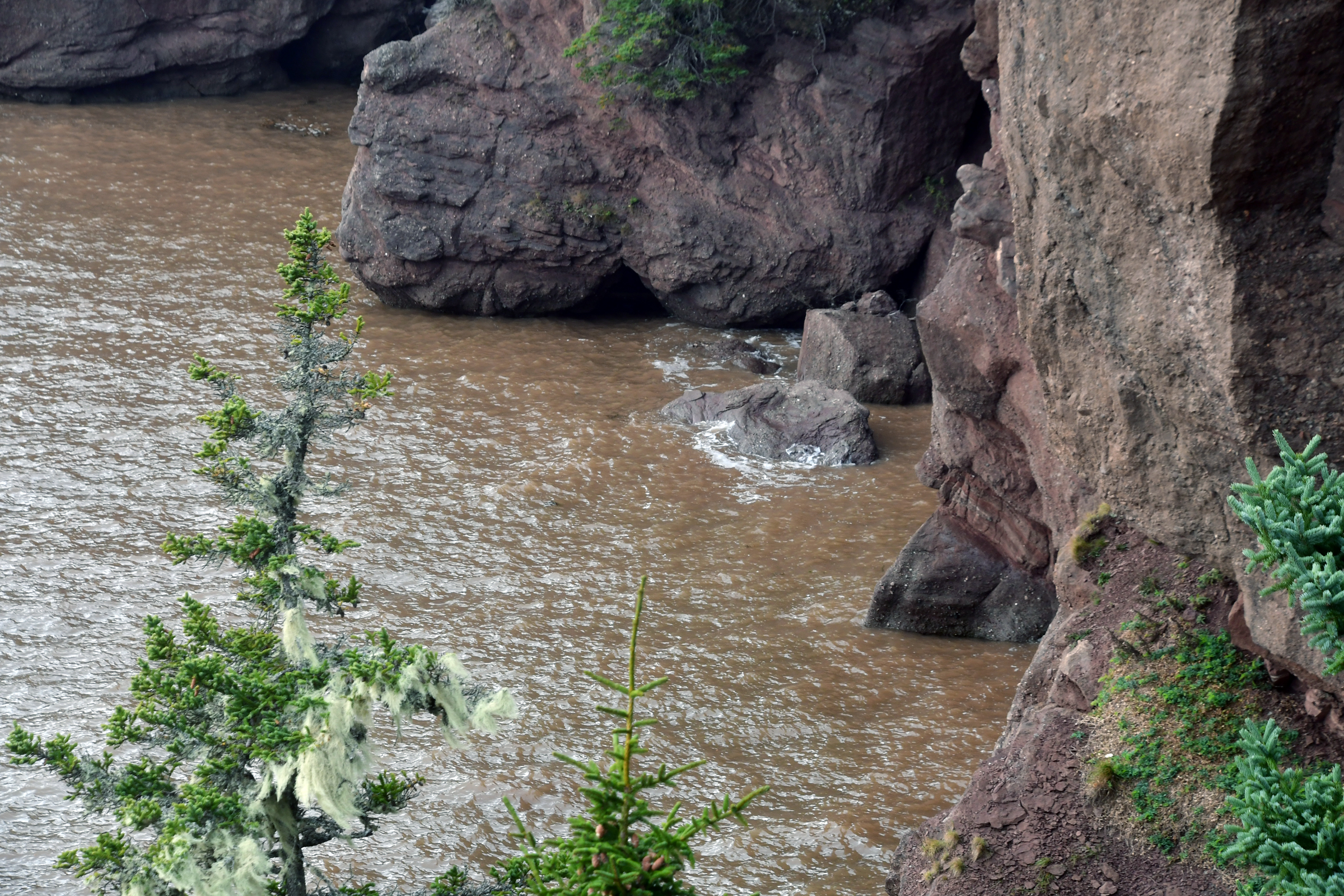
High tide was at 1137 - I was late at 1149. Warning - don't go UP the DOWN staircase... |
|
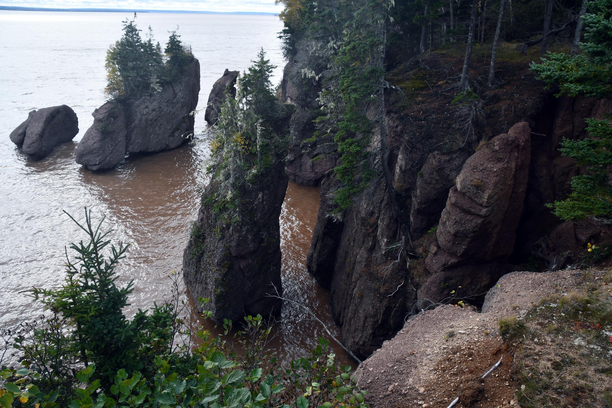
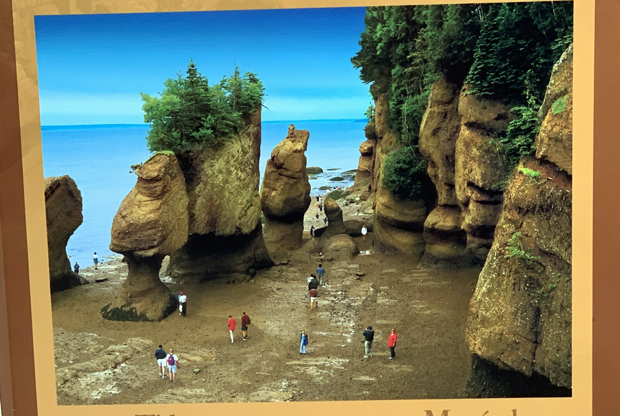
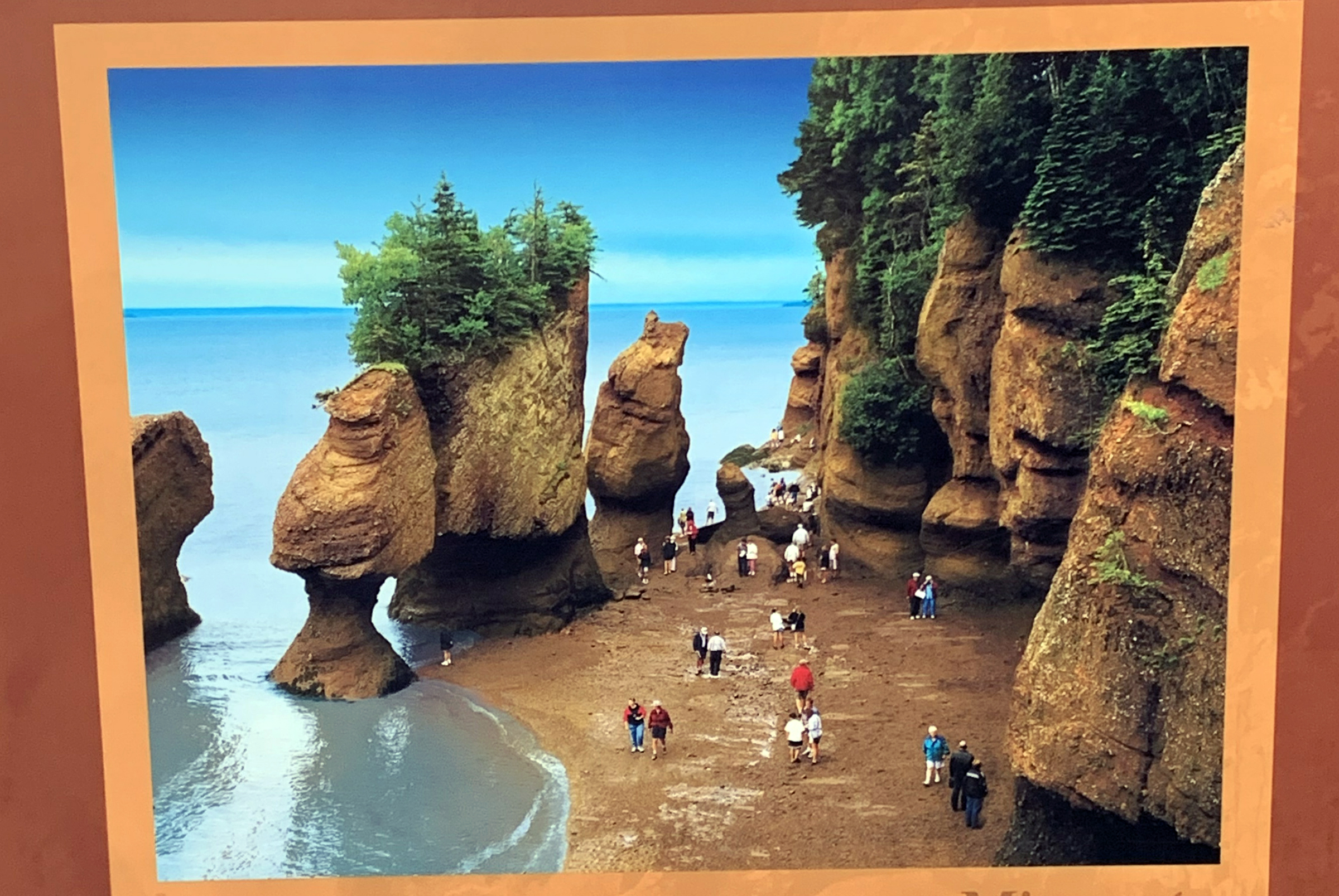
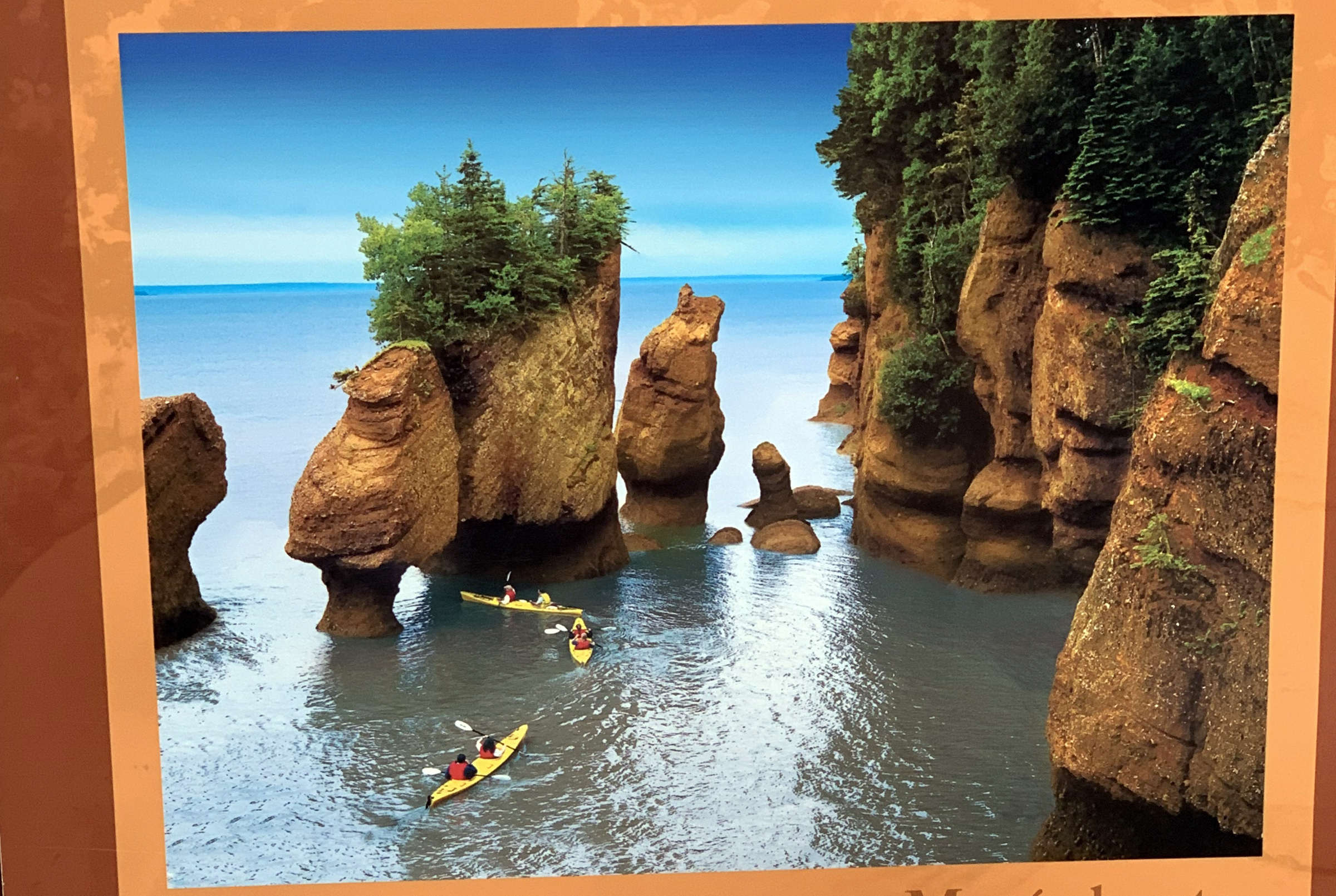
| Hopewell Rocks at high tide. |
|
|
|
High pressure hoses to get the mud off your shoes and boots. |
|
|
|
Back up to the visitor centre |
|
|
|
|
|
And their displays |
| What it looks like at low.. |
mid.. |
and high tide. |
| Warming soup - tomato and chicken fricot. |
|
And yes there were bears there. |
Hopewell Rocks to Prince Edward Island
The road trip continued back through Moncton and north towards Prince Edward Island, the last of the Canadian provinces to be visited on this trip (And yes, PEI was named by the Duke of Kent who suggested it might be named after himself - Prince Edward).
For many years PEI was only accessible by ferry, but in 1997 the federal government opened a new bridge to join PEI to the mainland. The bridge is 12.5 km long and took 4 years to build. It is the world's longest bridge to span ice-covered water. Just as we approached the bridge the rain started in ernest,
so we saw little of the bridge and even less of the strait below. (But, with the ferries cancelled we would be back over the bridge in a few days). We proceeded on to Charlottetown, the capital of PEI, where the rain continued. Dinner
was at the nearby The Local Pub and Oyster Bar. Yes they sold oysters, mussels and other seafood delicacies and yes, they did a better job of the food than anywhere else we had dined to date.
| Exiting Hopewell Rocks |
The museum at Hopewell Cape. |
|
|
|
|
|
|
|
|
|
|
|
|
|
|
Back to Moncton, and a right turn over the river.. |
|
| and a right onto Assomption Blvd. |
|
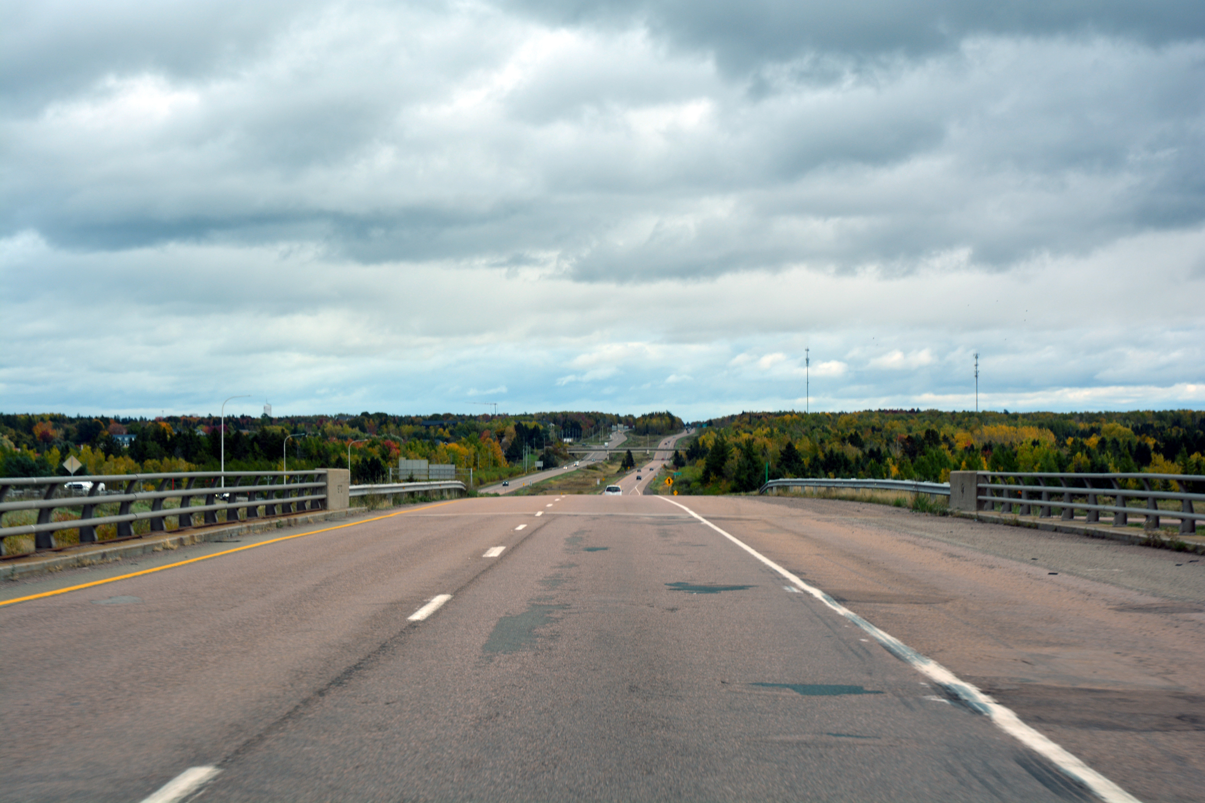
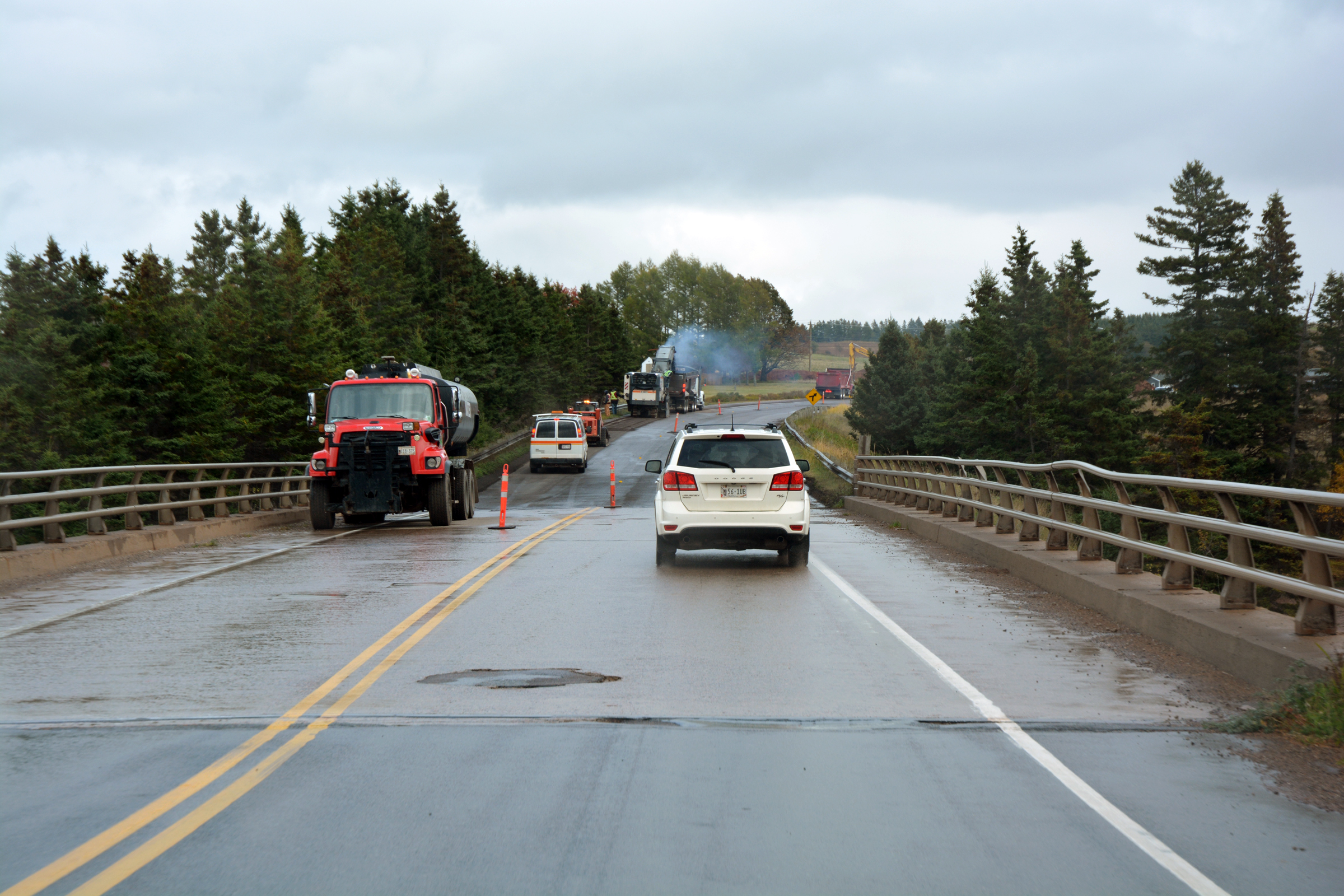
Having cleared Moncton we were on Highway 15 that would take us all the way to PEI in an hour. |
|
|
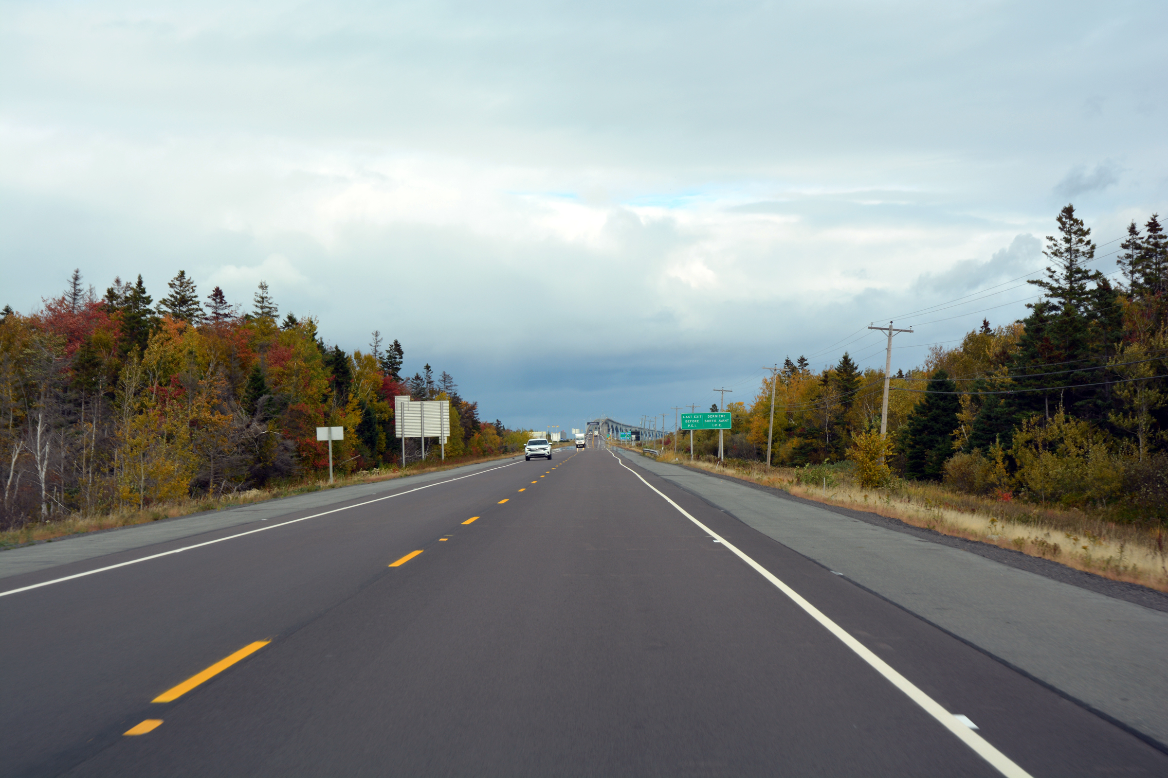
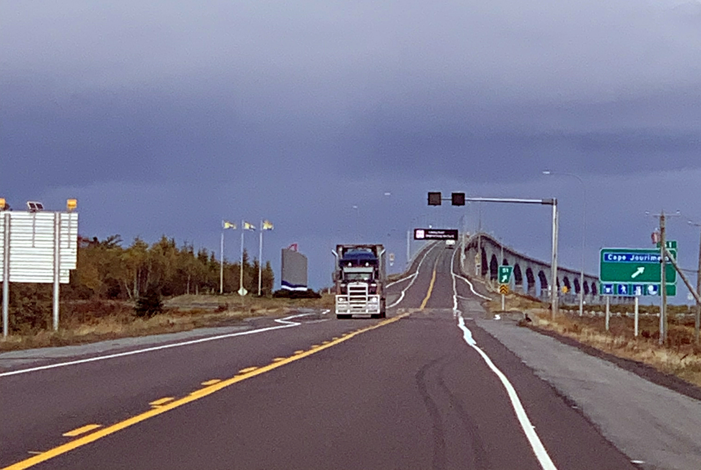
Approaching the bridge to PEI |
|
|
|
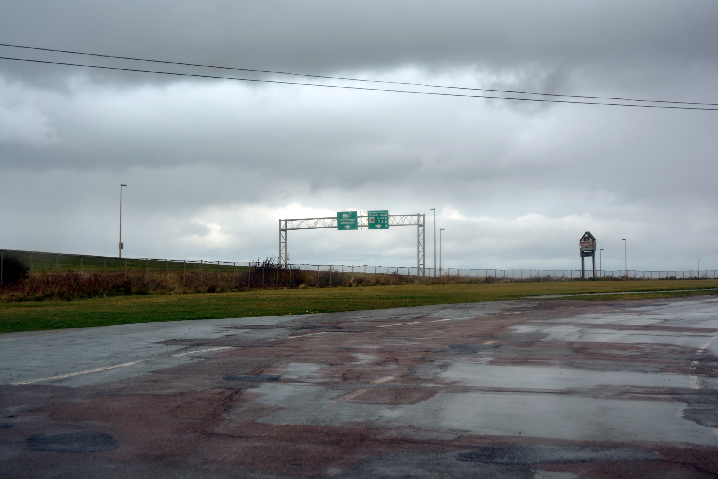
| 12km later we exited the ridge. |
|
|
|
|
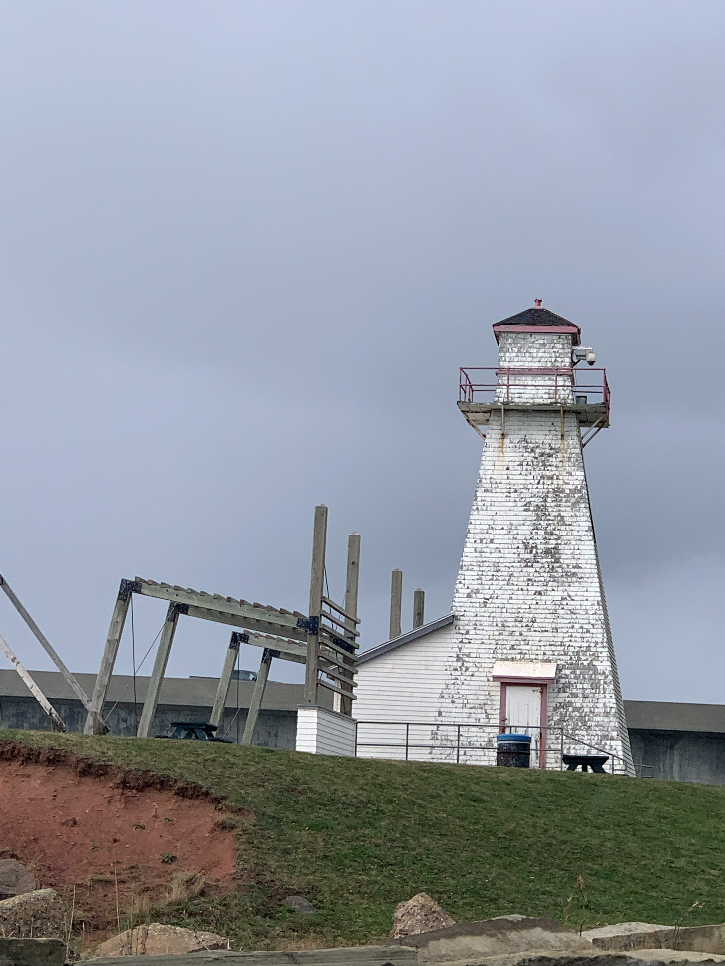
They are obsessed with lighthouses. |
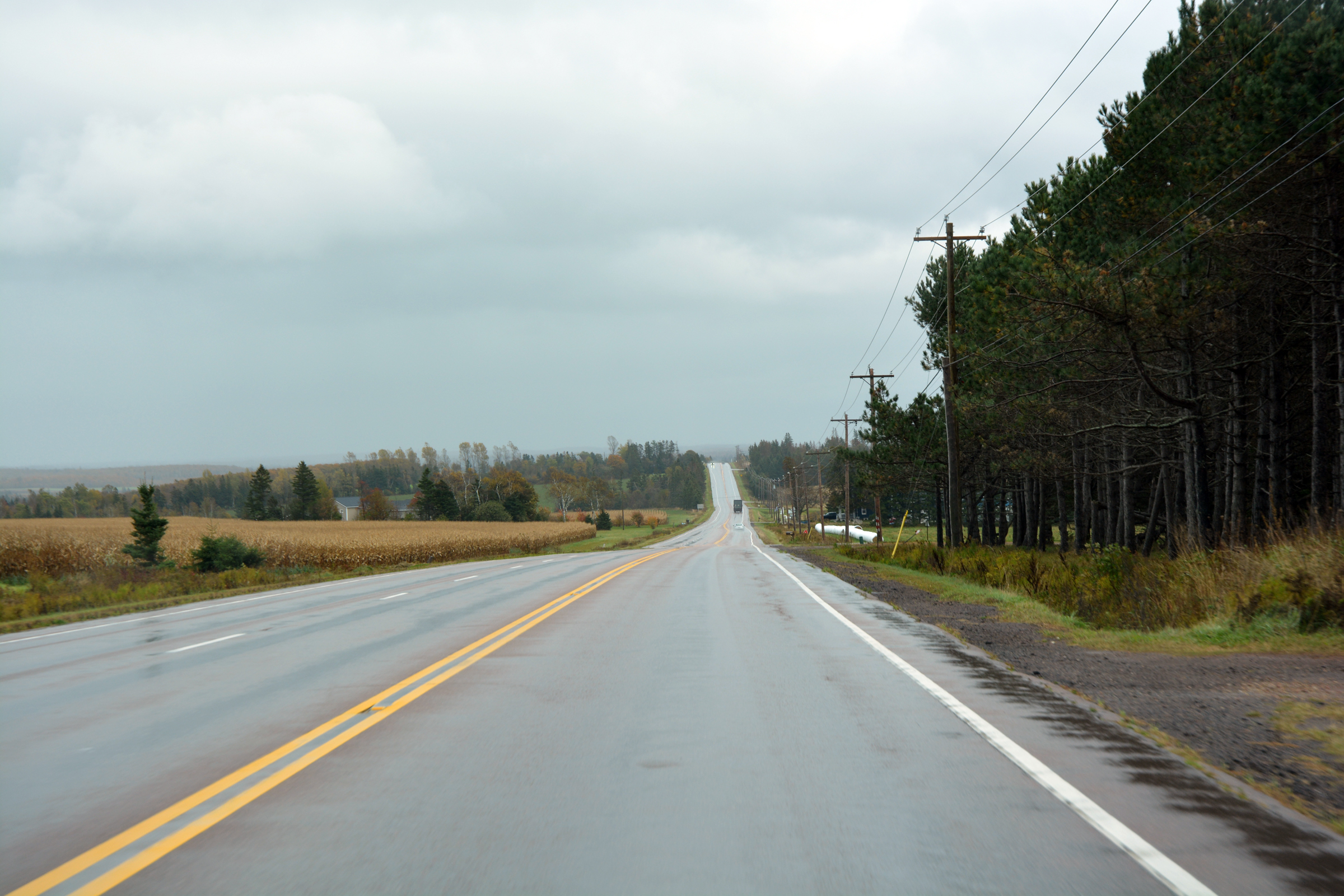
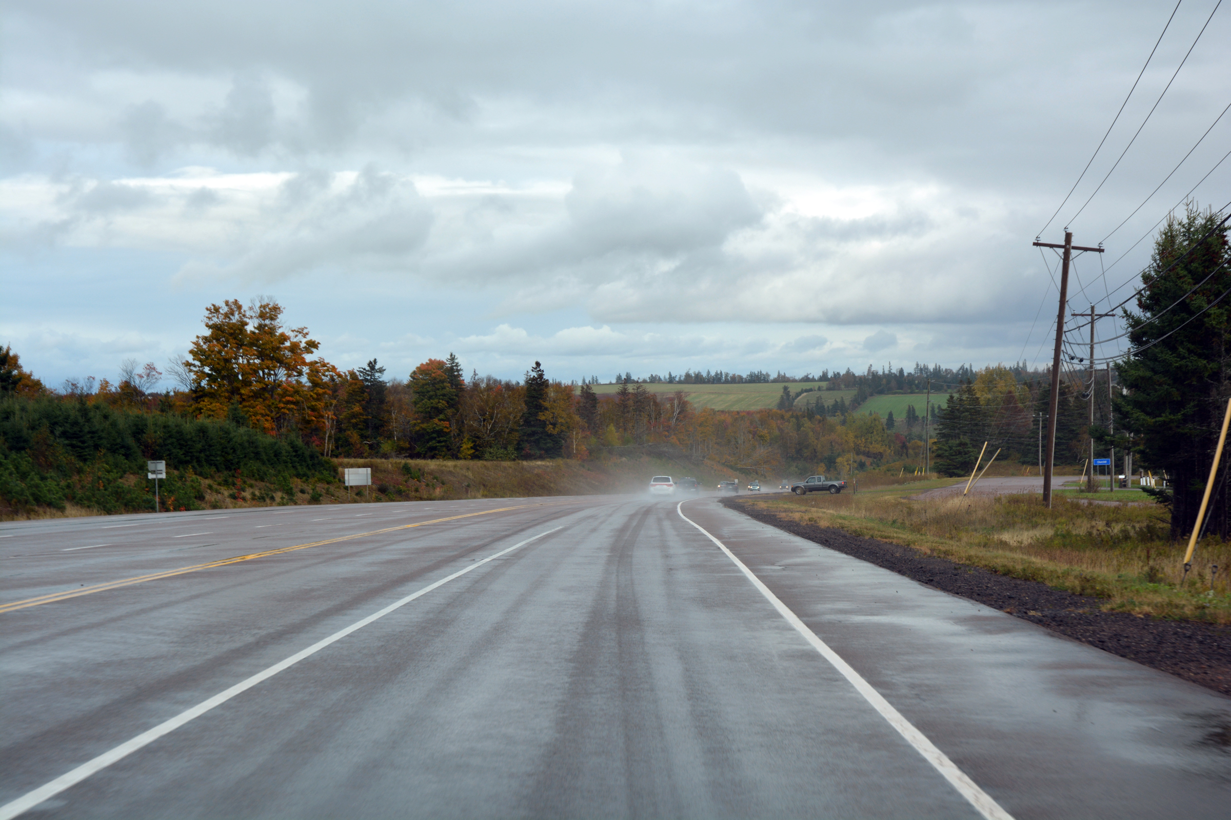
| Back onto the TCH in heavy rain. |
|
|
|
|
|
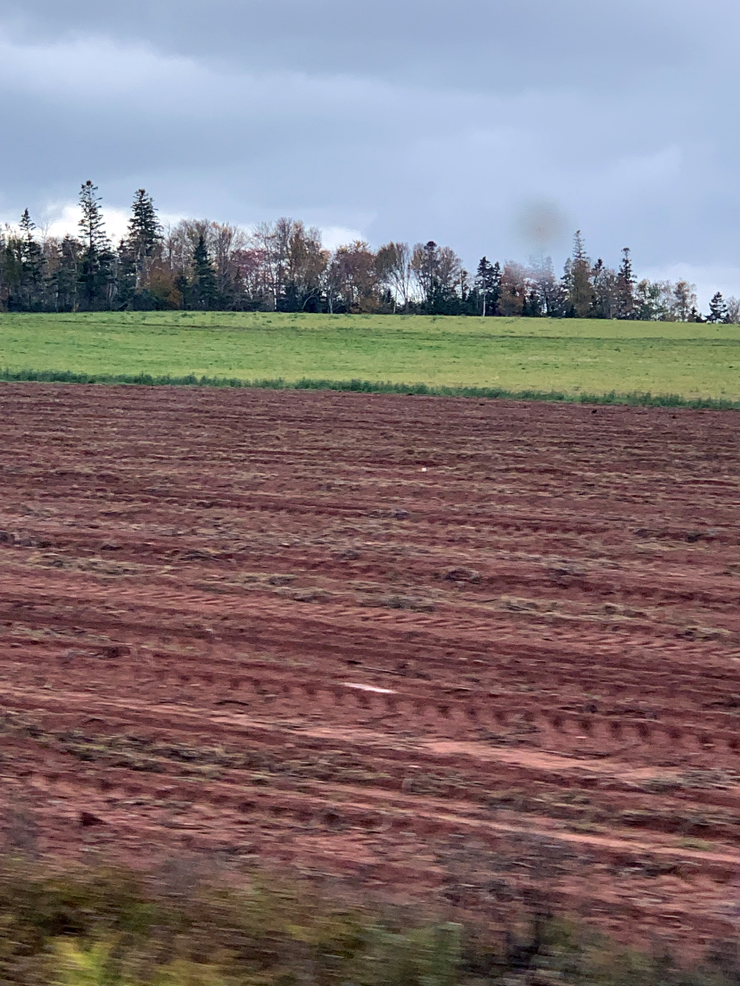
| A glimpse of the red soils of PEI that are famous for the potato crop. |
|
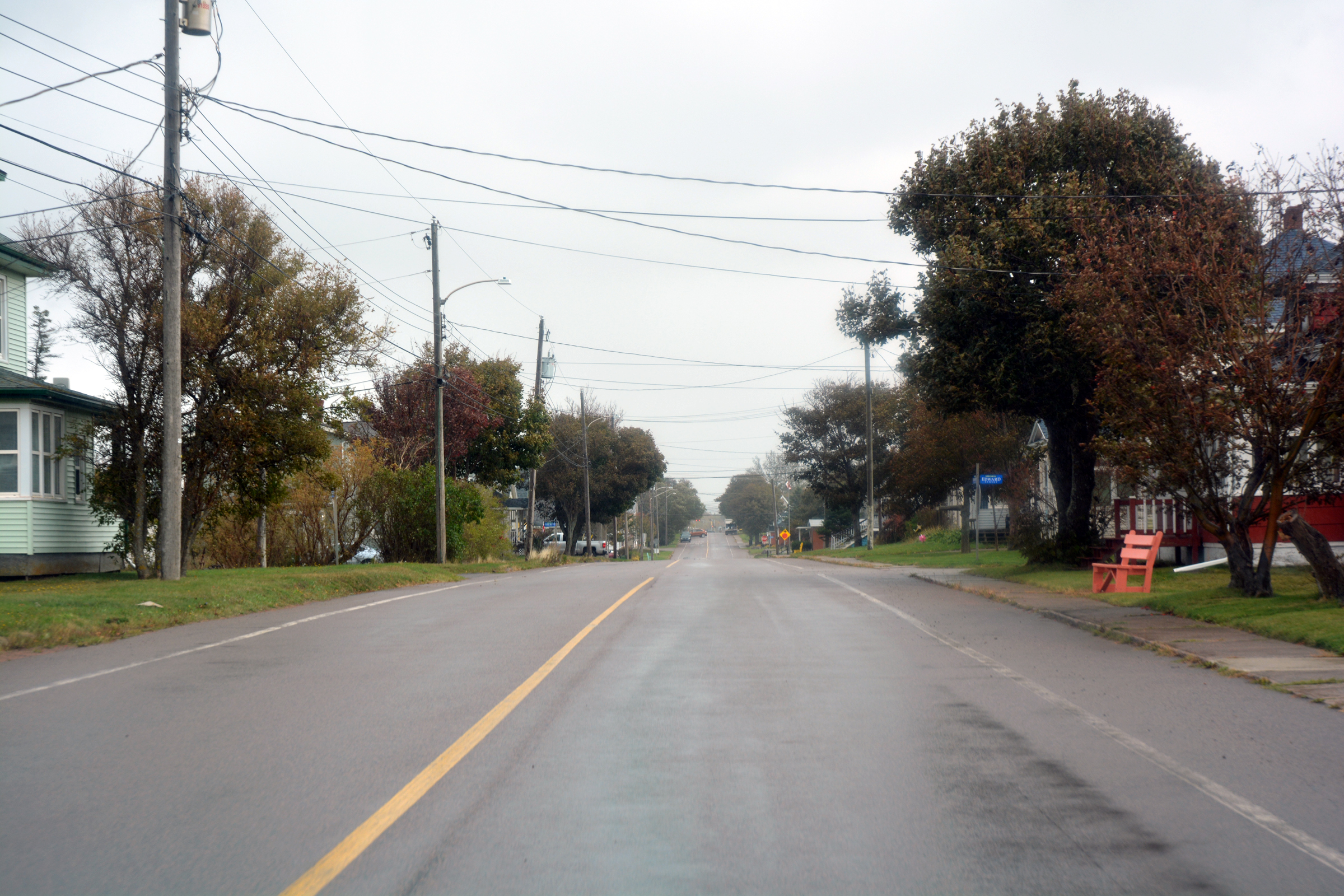
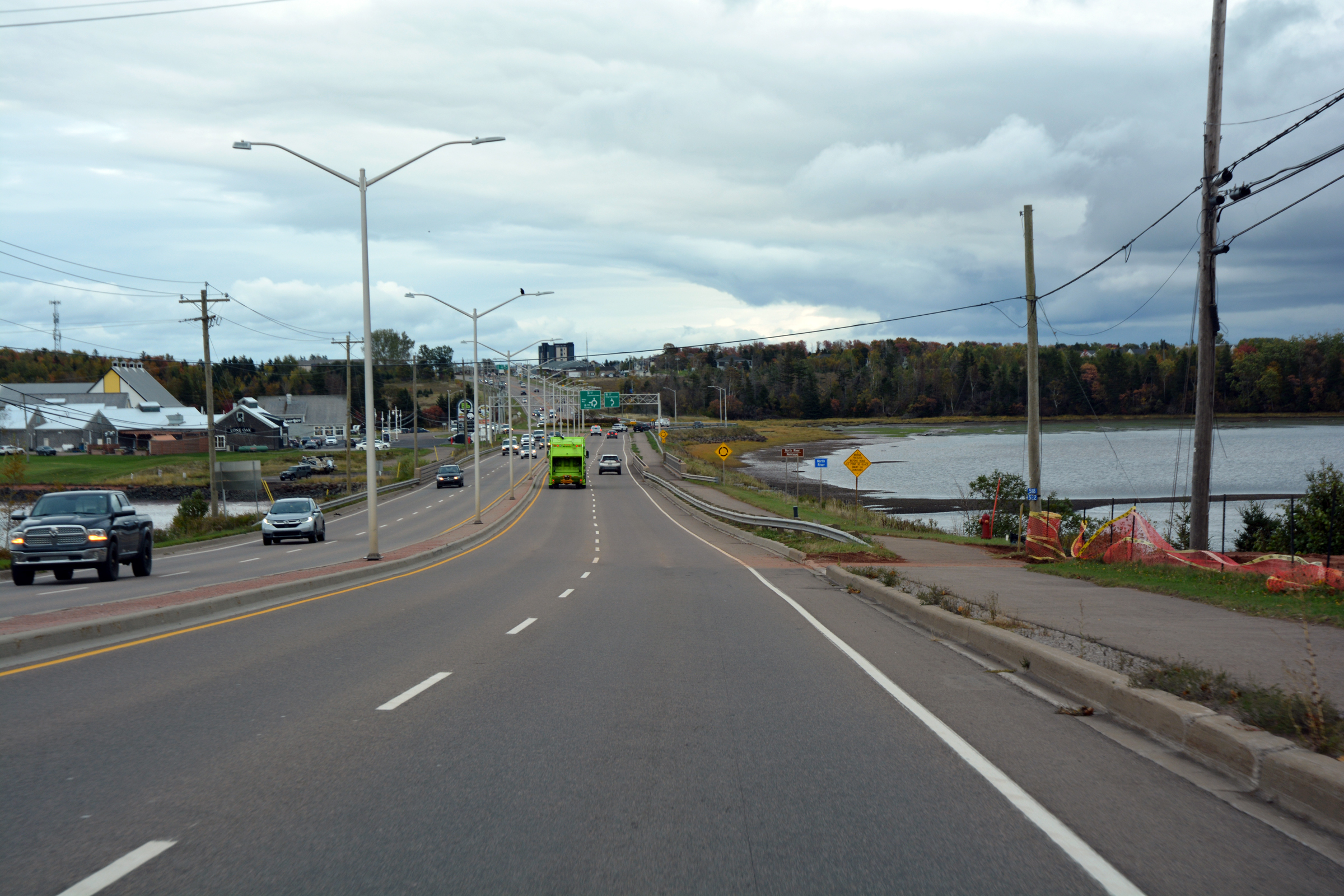
Entering Charlottetown. The Holiday Inn is just on the right. |
| We had two nights here. |
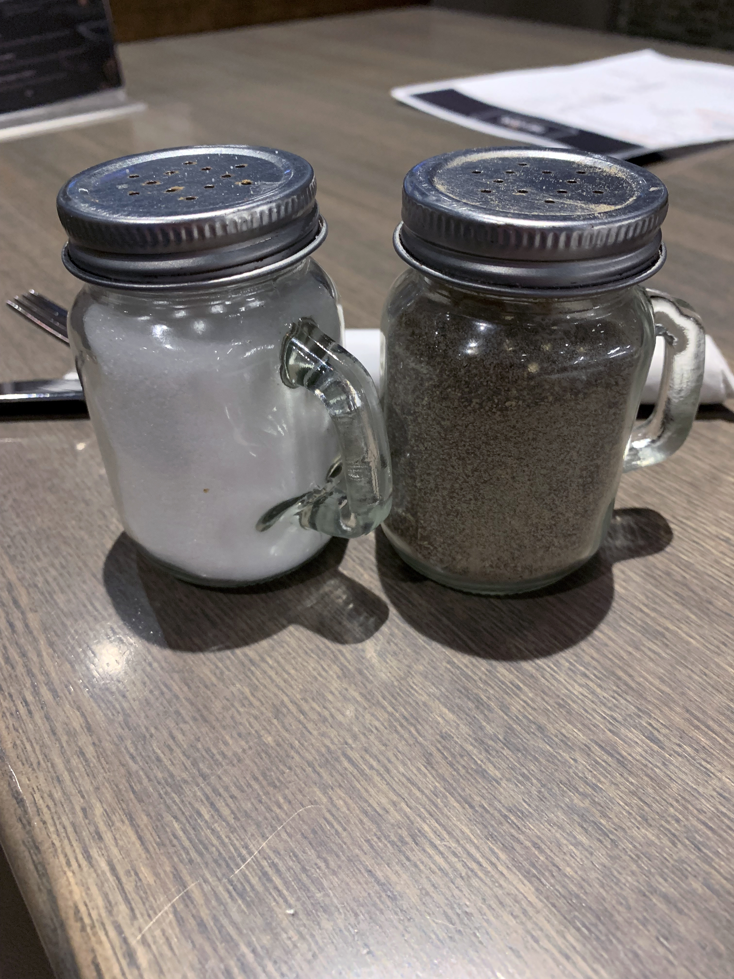
Decent sized salt and pepper. We noted its absence in most restaurants we visited. |
And yes, the Oyster bar sold... Oysters! (yum!) |
 Back to previous day-------------
 Forward to next day
Return to Trip Index
Return to Trip Index
Last updated: 15 December 2024
|