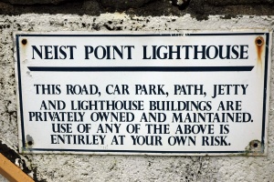
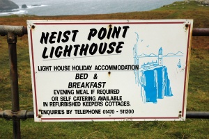
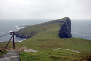
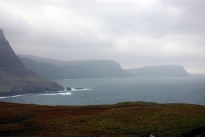
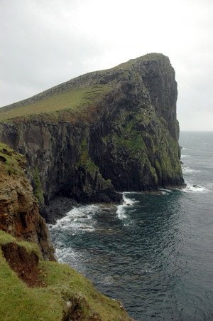
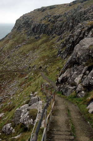
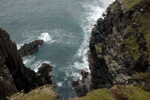
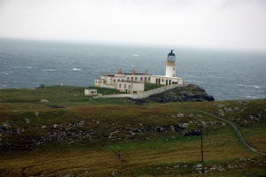
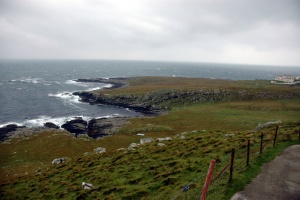
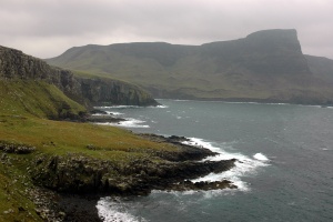
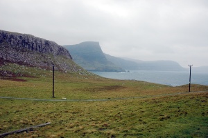
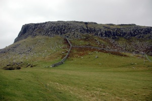
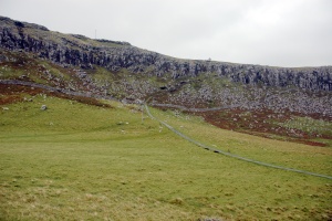
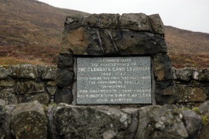
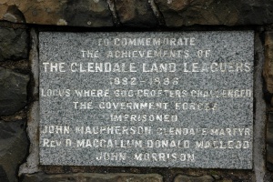
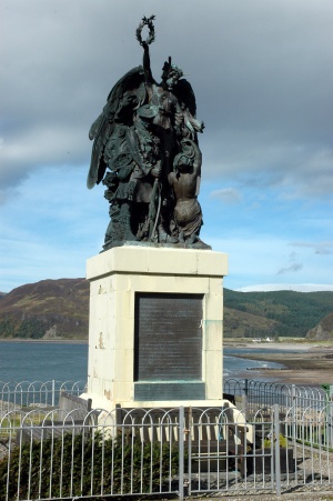
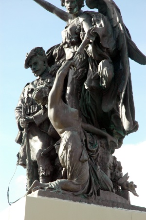
Britain 2011 - Day 19IntroductionAfter a good breakfast at the Three Chimneys Restaurantwe were ready to start.The day had dawned fine but with scattered cloud and a fair wind, so we went west to the isolated Neist Point Lighthouse, then drove back along Skye, almost to the new bridge over to the mainland. But rather than just drive we decided to use the small ferry that plies across the narrow water between Kylerea and Glenelg. From there we found some of the best preserved brochs in Scotland, then over the Ratagan Pass and on to Aviemore (which proved to be a bit further than we had realised). Neist Point LighthouseAfter a good breakfast we took the winding road to the isolated lighthouse at Neist Point, the westernmost point of Skye. The road ended at the top of a steep cliff, with the lighthouse below you and further out. There was a stiff wind blowing, but the walk out to the light was relatively sheltered. The Glendale Land LeaguersAt the top of the hill leading back from Neist Point, was a small memorial beside the road. It is to the Glendale Land Leaguers who challenged the Government stand against crofters/squatters in this region. Some were arrested and this led to widespread protest.
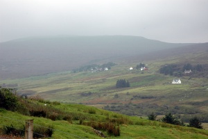
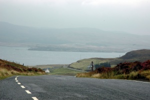
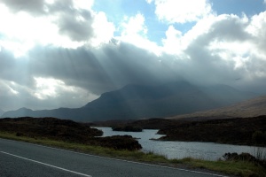
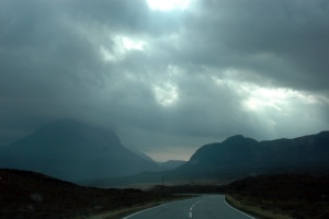
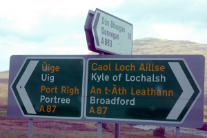
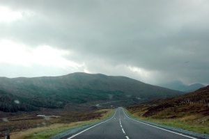
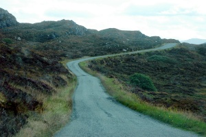
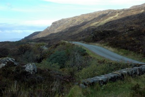
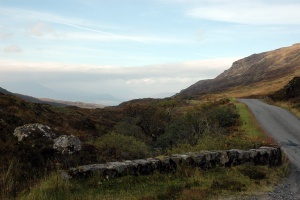
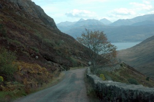
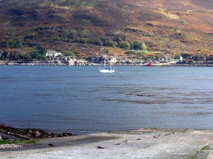
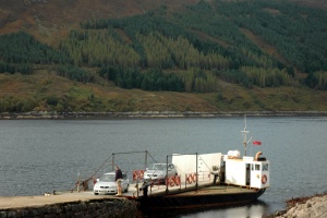
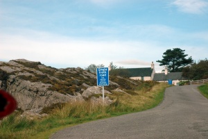
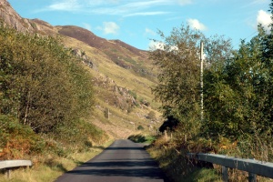
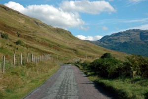
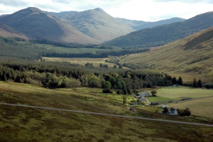
The road to the Kylerhea FerryWe now headed back down through the western part of Skye, following the A863 back through Bracadale to the junction at Sligachan. Then it was the A87 towards the new road bridge back to the mainland. But we had decided that ferries were the way to get on and off the island and the small Kylerhea to Glenelg ferry was still operating. This is run by a local trust, and is one of the last remaining turntable ferries left in the world. But first we had to get there. The narrow road took us up and over a steep pass, but as we progressed the cloud lifted and the day became fine and warm.
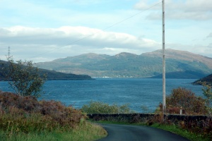
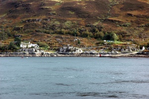
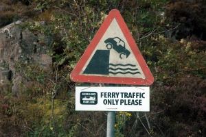
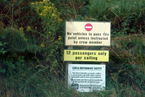
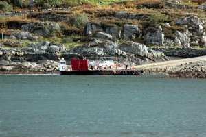
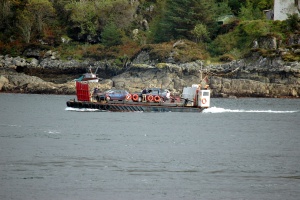
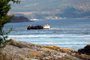
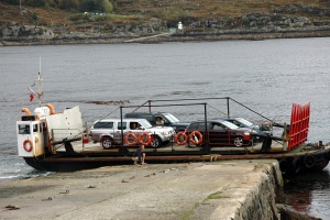
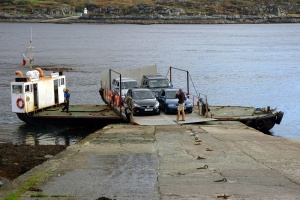
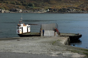
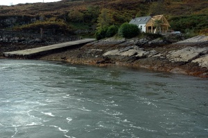
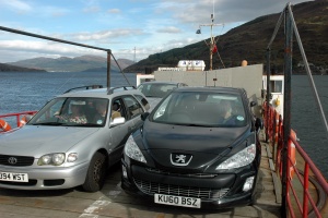
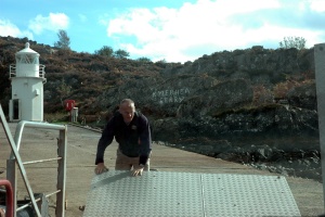
The Kylerhea to Glenelg FerryThe ferry is a small boat carrying up to 6 cars. It crosses at the narrowest point between Skye and the mainland. The jetty at each side is a stone platform rather than a wharf or ramp and the ferry docks side-on to the coast. To get the cars on and off, the vehicle deck is mounted on a turntable that can be turned around so cars can drive on or off either end. It is a very simple system, but very effective.
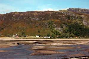
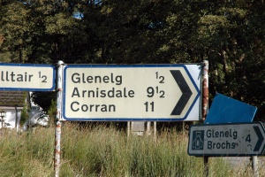
GlenelgDespite its rural location, the small settlement of Glenelg is well known - its name is a palindrome, being spelt the same forward and backwards. It was a pretty place, on the fine warm afternoon we drove through, but I suspect it could be cold and bleak in winter.
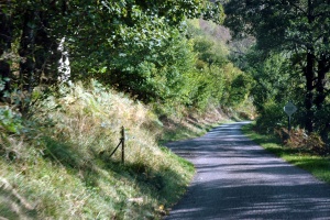
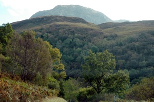
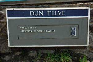
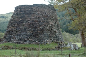
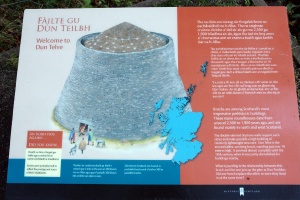
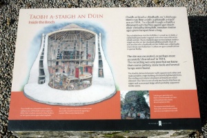
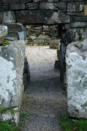
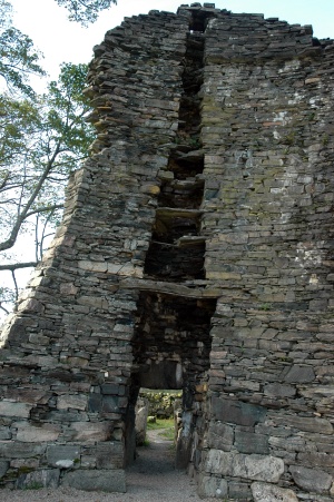
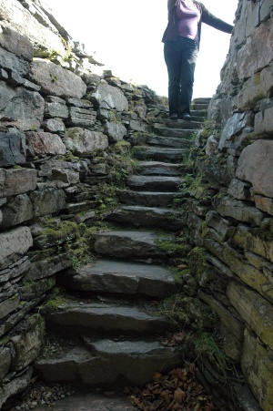
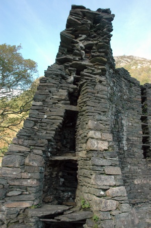
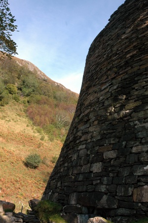
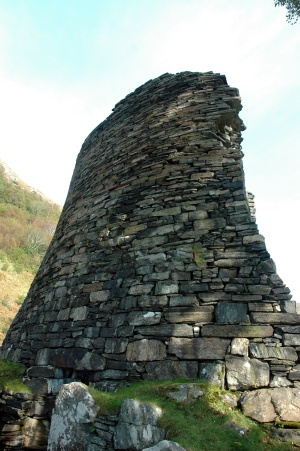
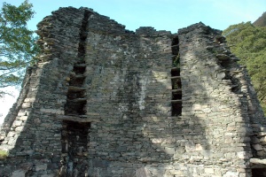
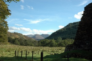
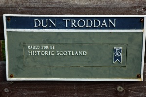
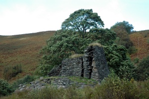
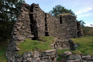
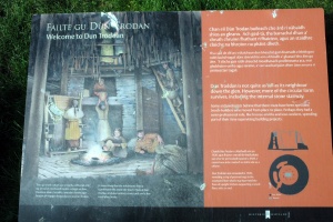
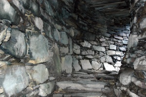
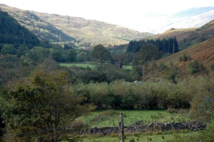
Dun Telve and Dun TroddanNot far from Glenelg, and up a sheltered, forested valley are two well preserved brochs - Dun Telve and Dun Troddan. They are two of the best preserved brochs in Scotland. They have exactly the same design as the other brochs we have visited, on Skye and the Isle of Lewis.
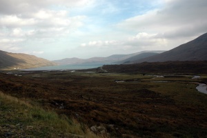
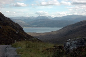
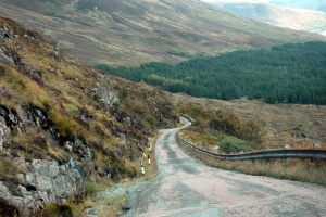
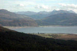
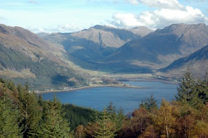
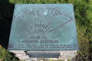
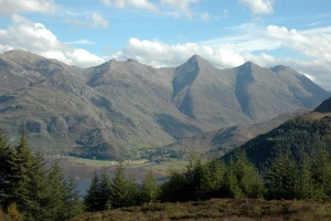
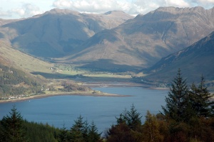
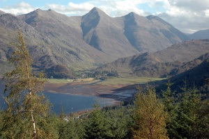
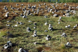
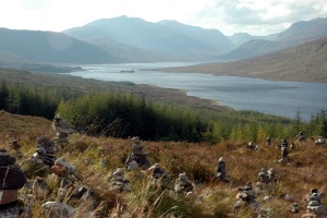
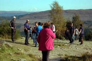
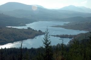
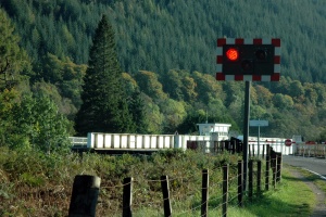
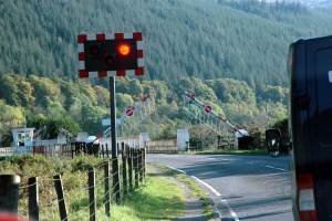
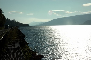
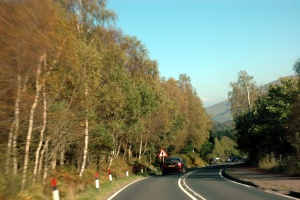
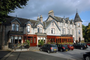
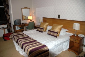
Ratagan Pass and the road to AviemoreAfter driving back to Glenelg we headed north and up to the top of Ratagan Pass. The road is rather steep and winding, but the top of the pass gives superb views of the Five Sisters and Loch Shiel..... on a fine day. Then it was down to Shiel Bridge, along the A87 to Invergary, the A82 to Spean Bridge and eventually to Aviemore. Along the way we had to stop for strange stone men (a tourist artifact), a boat (on the Caledonian Canal) and the sun (shining off Loch Lochy). But we made it to Aviemore and our accommodation at the Cairngorm Hotel. It was a nice room, dinner was pleasant and we had high hopes of a good day climbing the railway to the top of Cairngorm Mountain.
Back to previous day Last updated: 19/06/2017 |
