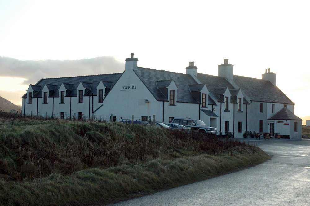
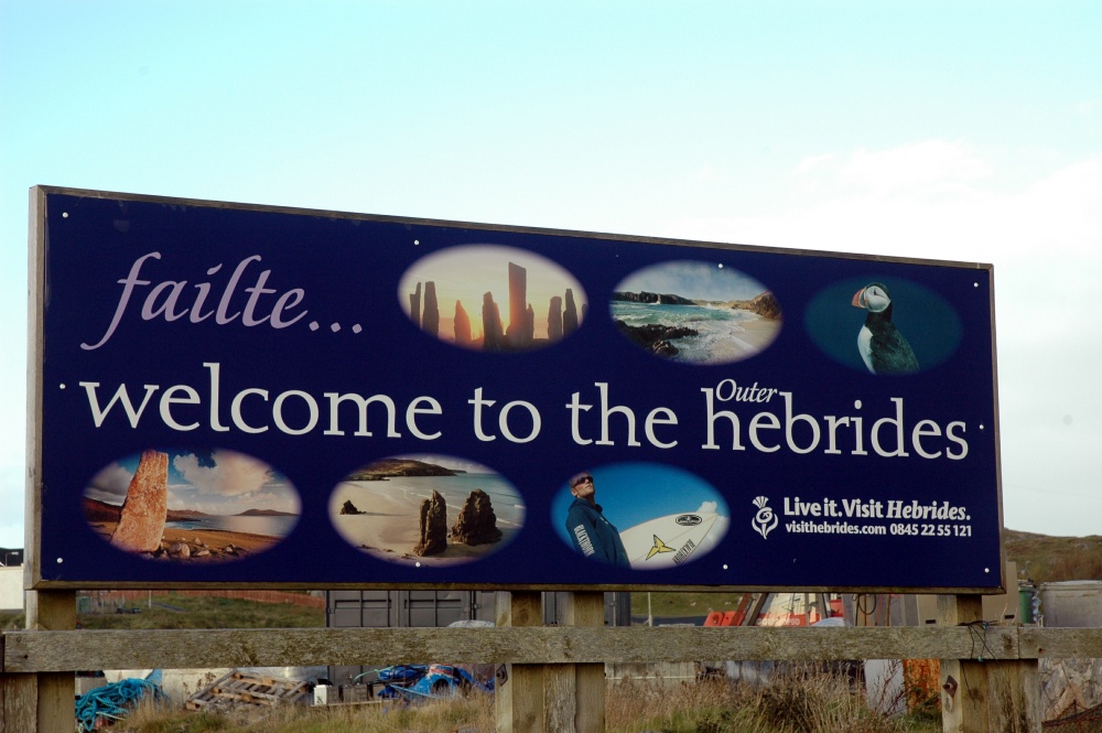
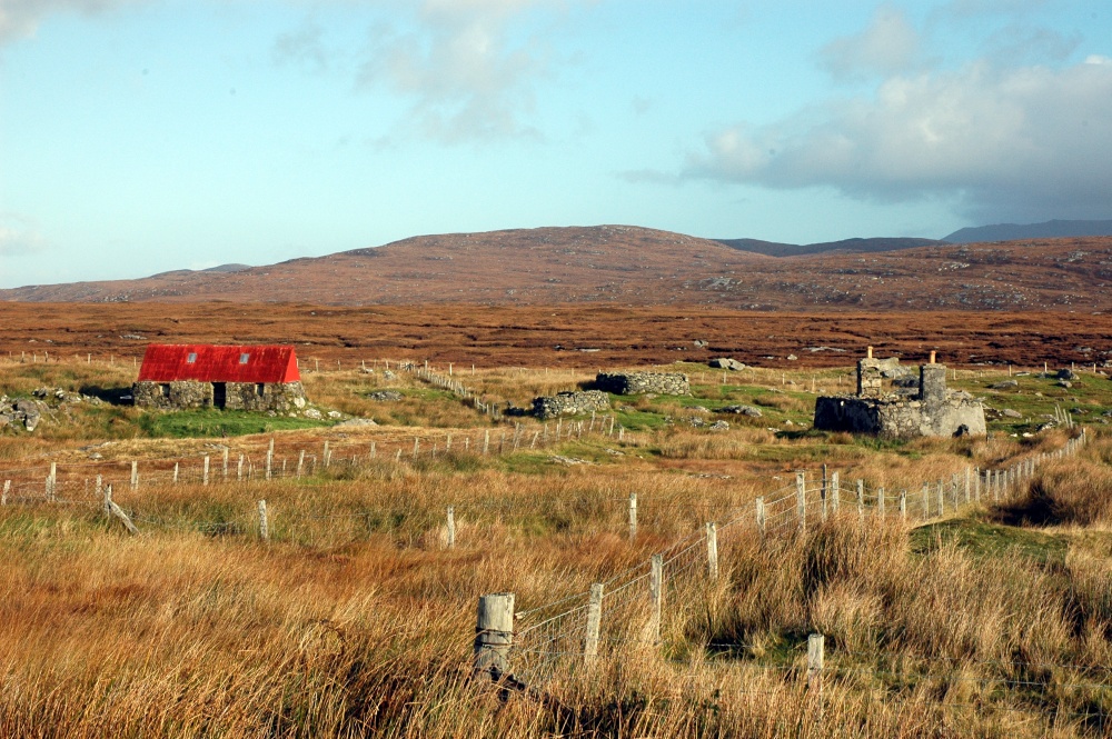
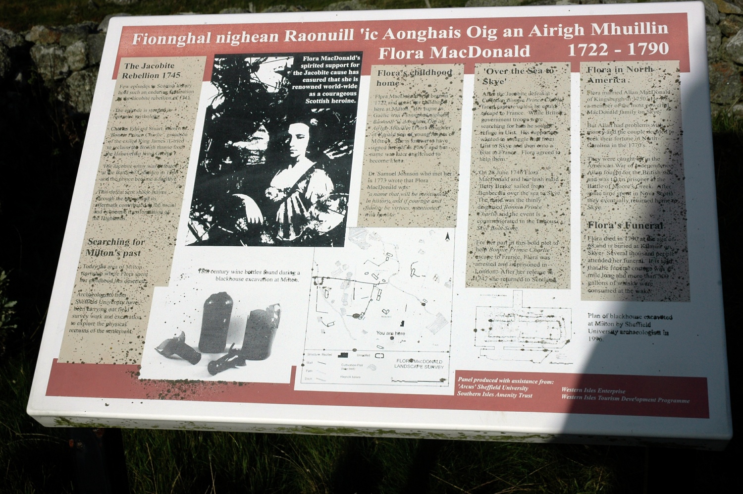
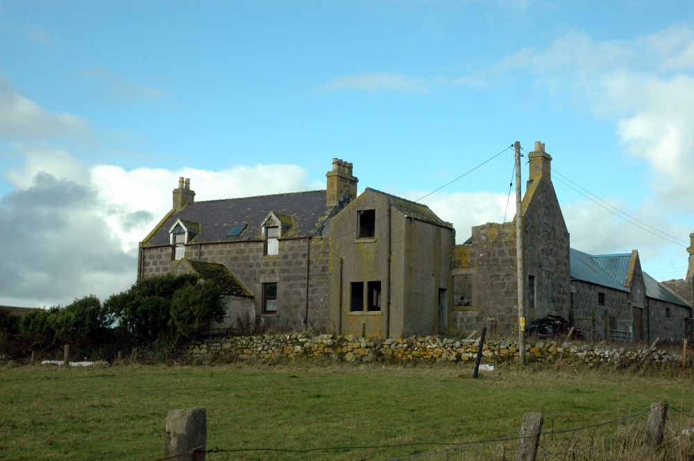
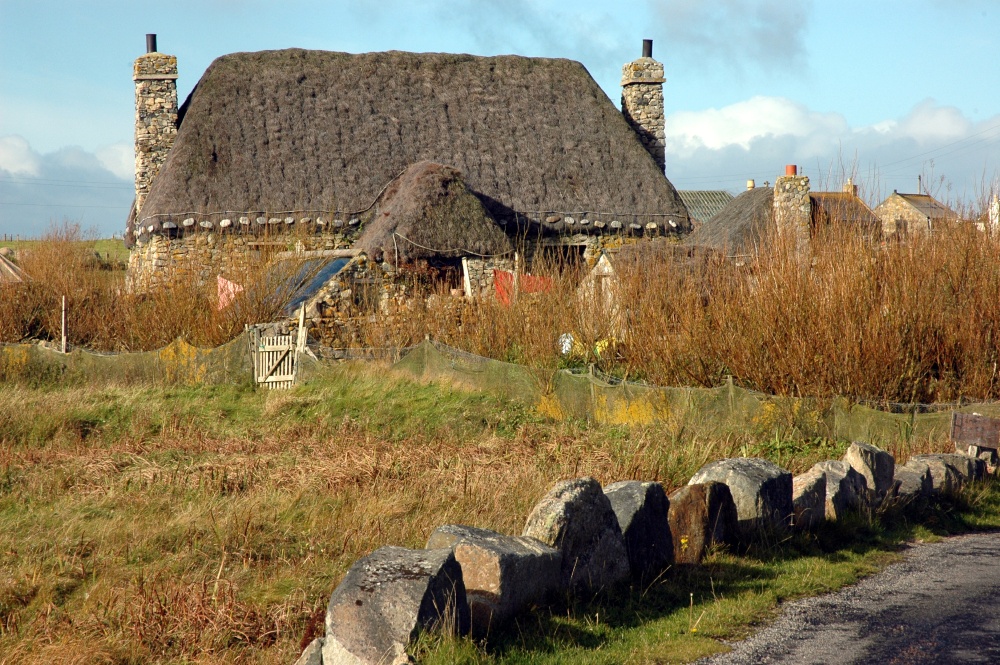
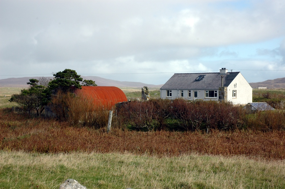
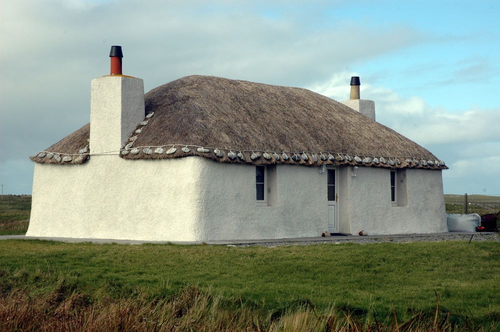
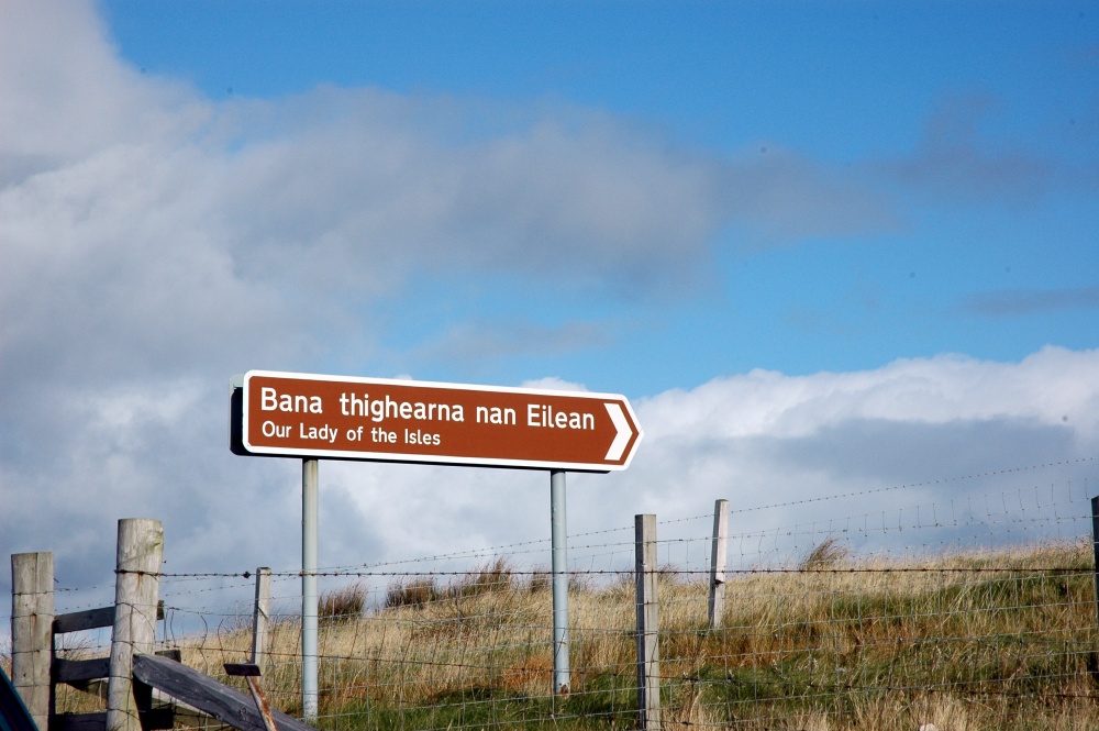
Britain 09 - Day 23

Introduction

Sunday is a quiet time on the Outer Hebrides, with most shops closed for the day. After a nice breakfast at the Polochar Inn, watching the sun come up on a fine clear morning, we headed north through South Uist, Benbecula and North Uist to stay the night at Carinish. The islands of Uist are rocky and barren, with many small lakes, windswept coast on the west (the machair) and quieter, bays on inlets on the east.

Polochar Inn and South Uist

The Polochar Inn is a comfortable hotel on the south west corner of South Uist. It does seem a bit out of place, such a nice hotel in such a windswept, rock-strewn surroundings. In hindsight we should have stayed two nights here, to get a better feel for the area, and to experience more of the hospitality. The hotel has extensive views west across the Atlantic and features some remarkable sunsets. We arrived on the Saturday evening in heavy cloud and occasional showers, but these cleared overnight for a brilliantly fine sunrise. There are two ferry terminals on South Uist - the one on Eriskay that we arrived at from South Uist, and the larger one at Lochboisdale for ferries from Oban. We drove down toLochboisdale in the early morning, but as expected it is a small port with no major tourist facilities. Close to Polochar is the reputed birthplace of Flora MacDonald - the saviour of Bonny Prince Charles. Modern historians now dispute this location as her birthplace, but that has not stopped the locals continuing with this claim. Just north of Flora's house is the Kildonan Centre and Museum with a very welcome cafe. Although the cafe's website claimed it was closed on Sunday mornings, we called in and found a good pot (caffetaire) of coffee and scones.
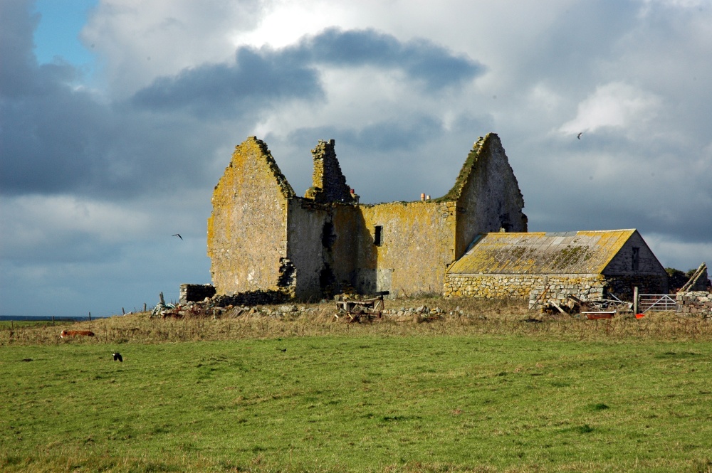
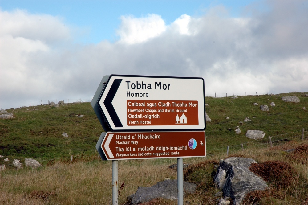
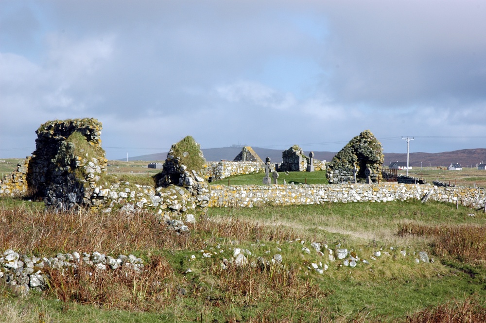
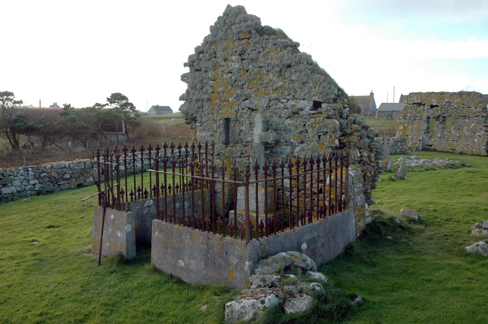
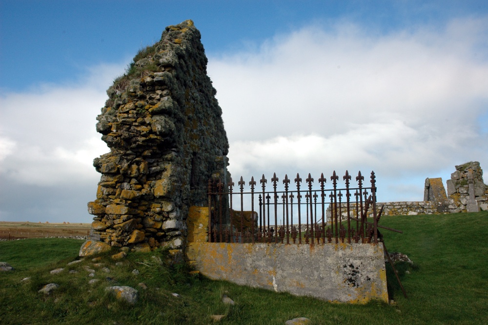
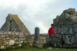
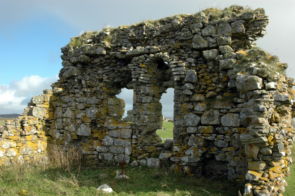
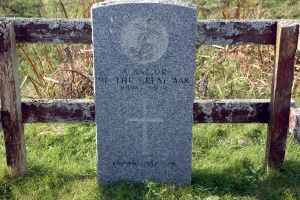
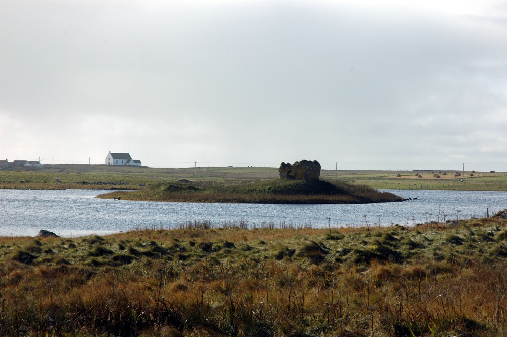
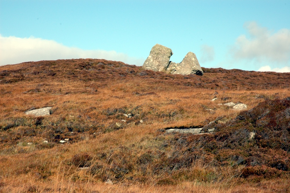
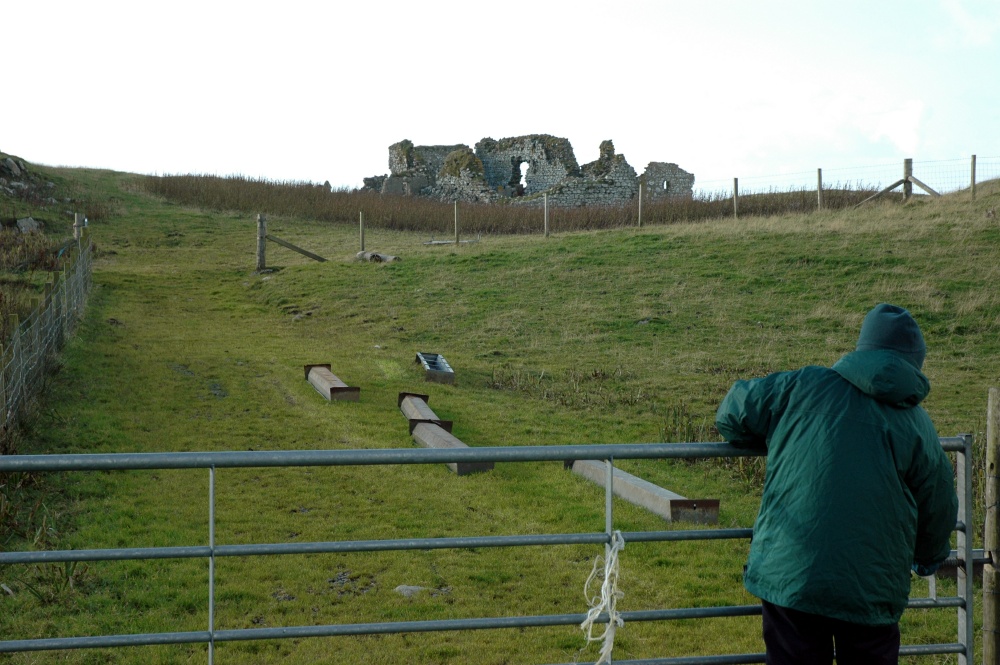
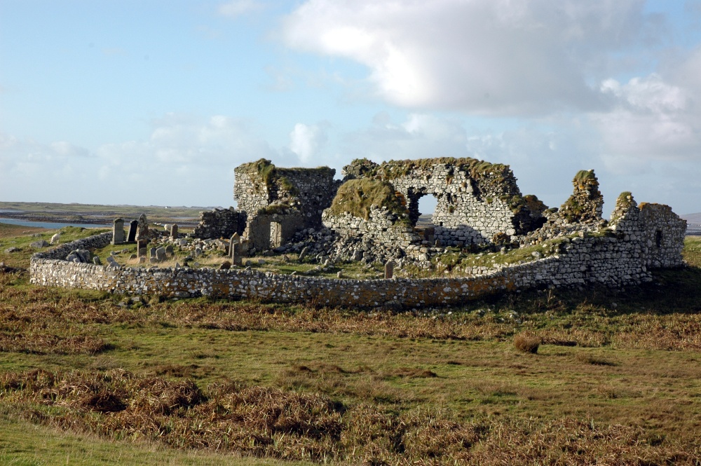
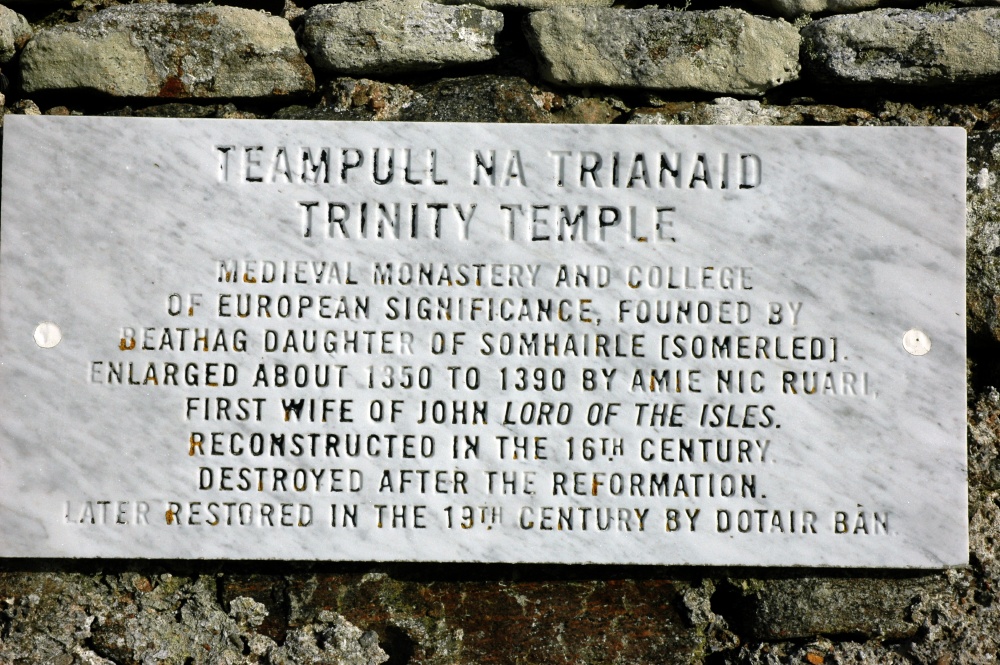
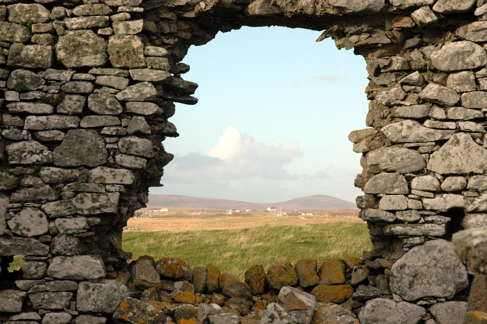
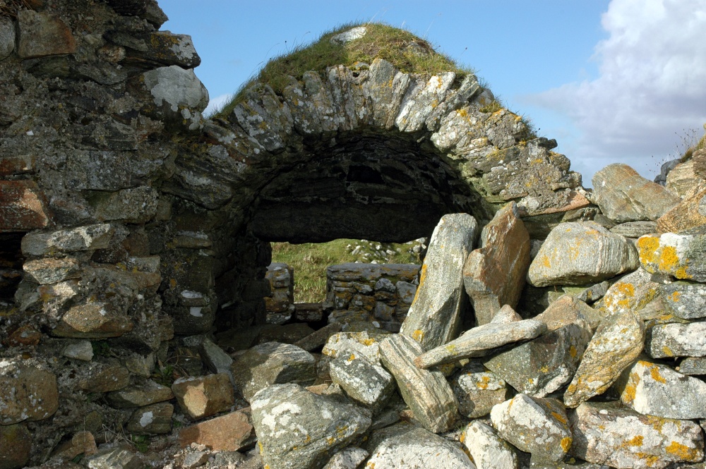
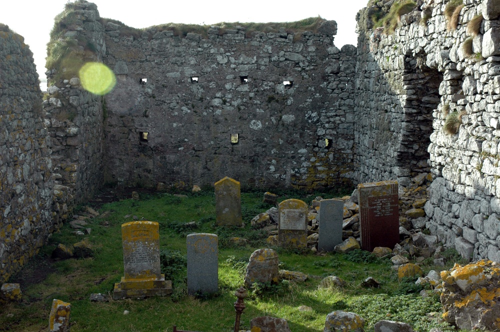
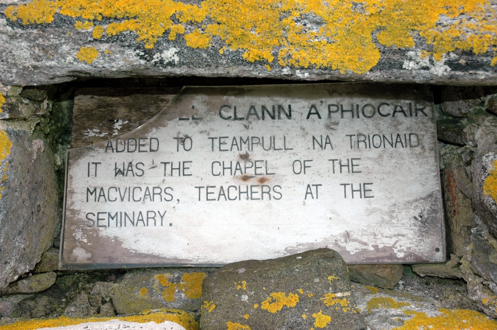
South Uist
Polochar Inn in the early morning sunrise
South Uist
The standing stone in front of the hotel - probably a marker to guide ships into the small sheltered bay
South Uist
Houses in a sparse landscape
South Uist
The single lane road going north
South Uist
Peat cut and drying is a common sight
South Uist
The village of Crossdougal in the early sun
South Uist
The welcome sign for visitors arriving at Lochboisdale
South Uist
Typical landscape - rocks, heather, rusty iron and derelict buildings
South Uist
The memorial to Flora MacDonald
South Uist
The Flora MacDonald story
South Uist
View across the landscape from the memorial
South Uist
All road signs are in Gaelic, some with English translations
South Uist
No parking does not apply to pallets of fishing supplies!
South Uist
Eastern hills and tidal inlets
South Uist
Typical low lying land
South Uist
The remains of a country mansion. Built by a French architect in the early 18th century and burnt down a year later
South Uist
Replacement house built inside the ruins
South Uist
Haystacks
South Uist
A modern building that looked out of place - an attempt to bring adult education to the island
South Uist
South Uist
Just a reminder - a bit late after 20 miles of single road

The Temples at Howmore (or Tobha Mor)

At Howmore is a collection of ruined chapels. There is no explanation of why there should be so many together. All are built in similar style but have been adapted over the years. Many now have headstones (and presumably graves) filling in the floor area.
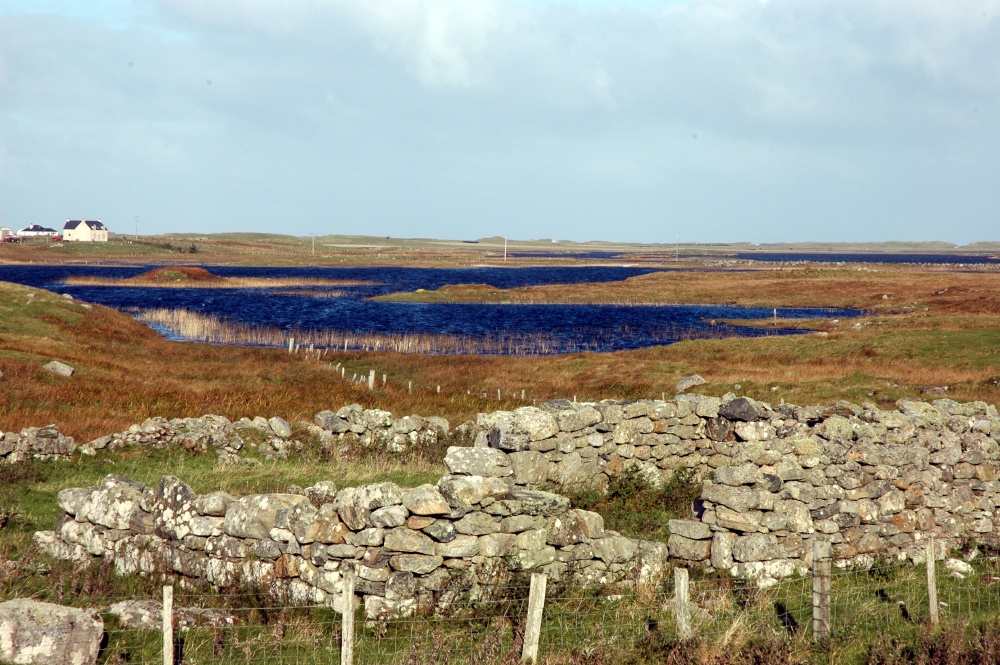
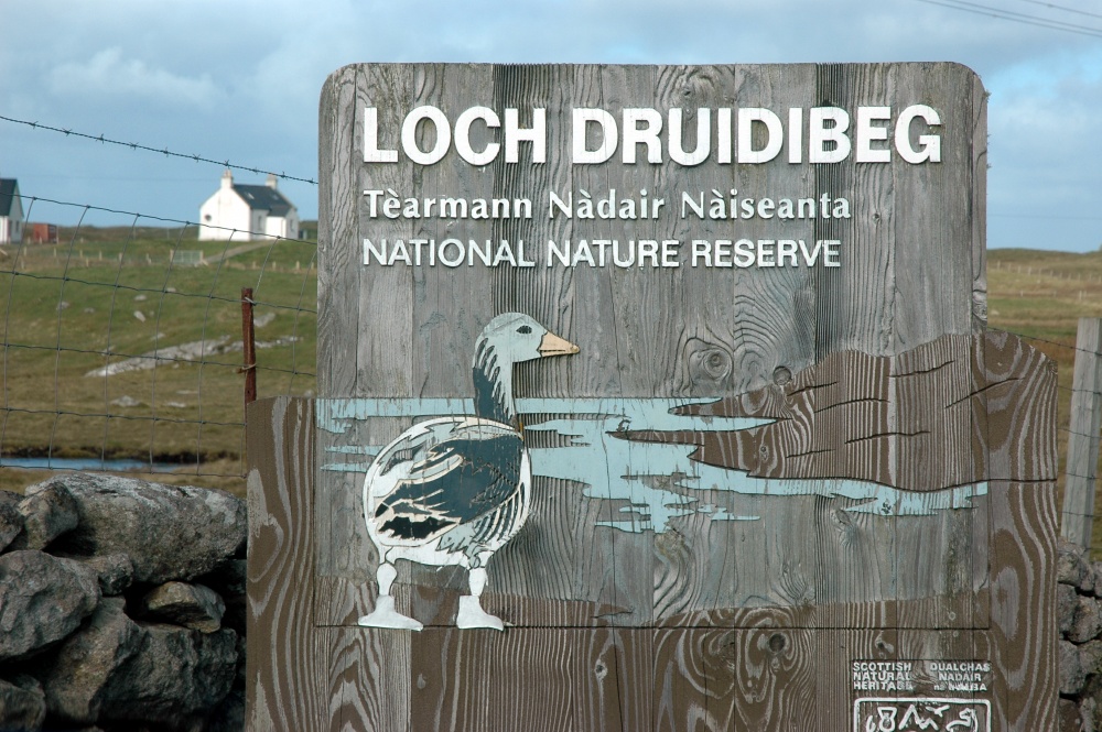
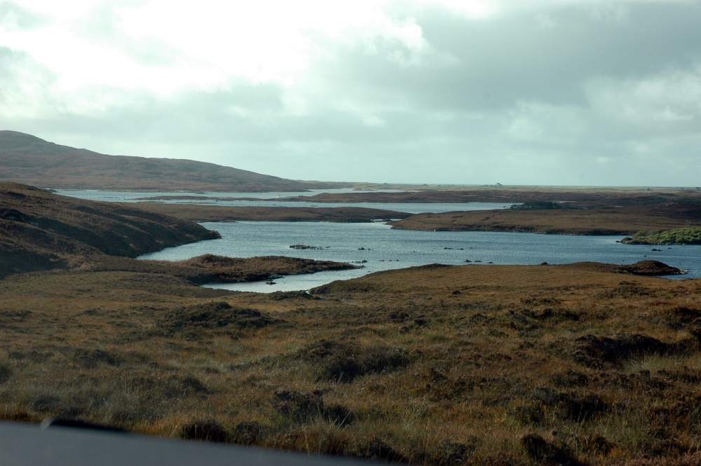
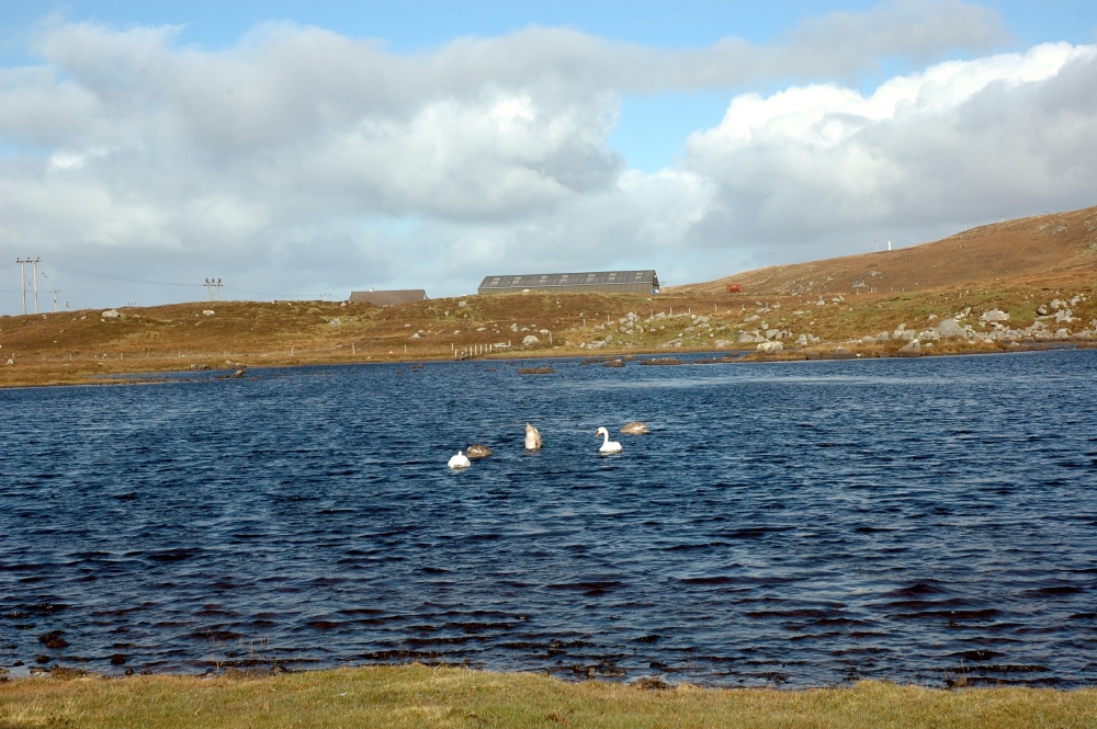
South Uist
The road sign to Howmore
South Uistr
A crofter's cottage near Howmore
South Uist
A interesting sign on a small culvert - presumably refers to fishermen
South Uist
The collection of ruins at Howmore
South Uist
One of the temples with enclosed headstones
South Uist
All that remains of one wall - note the thickness
South Uist
More temples
South Uist
Windows in the ruins
South Uist
Details of the masonary around the window
South Uist
An unusual headstone - an unknown sailor
South Uist
Shell mural on the wall of the church
South Uist
Following the mural theme

Loch Druidibeag

Loch Druidibeg is a large lake in the centre of the island. It is abird and wildlife sanctuary, a Scottish National Nature Reserve..
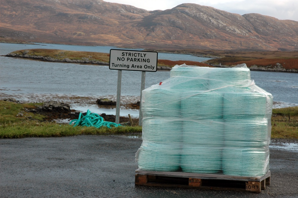
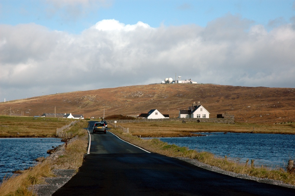
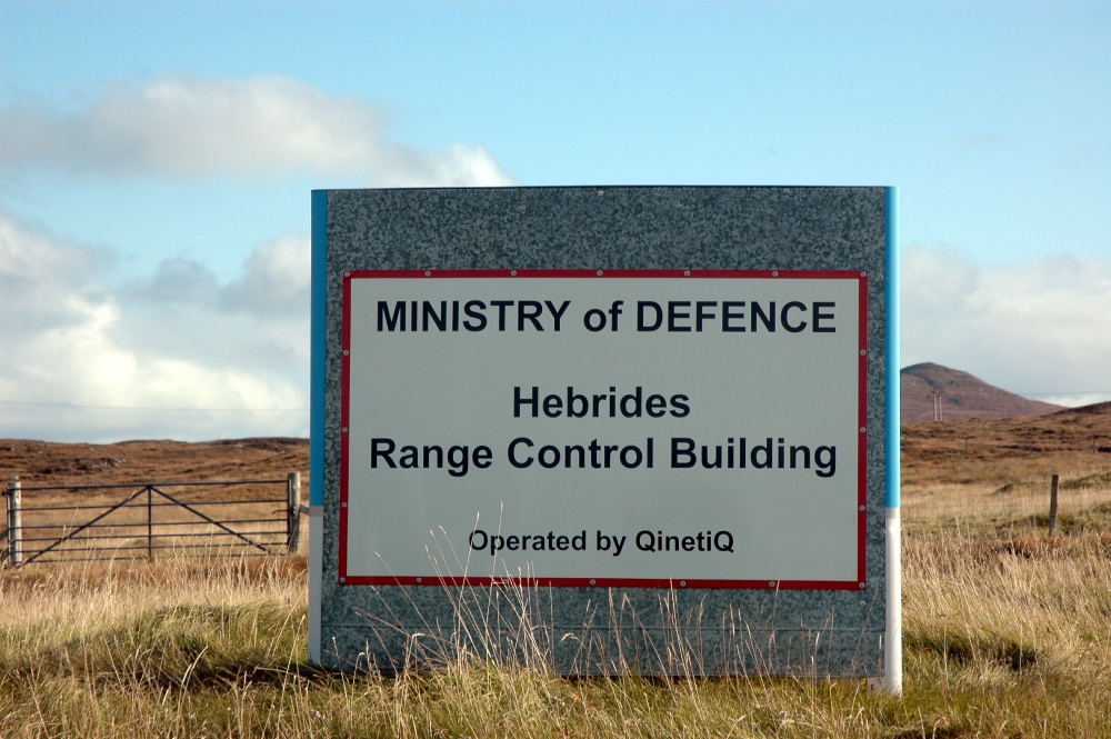
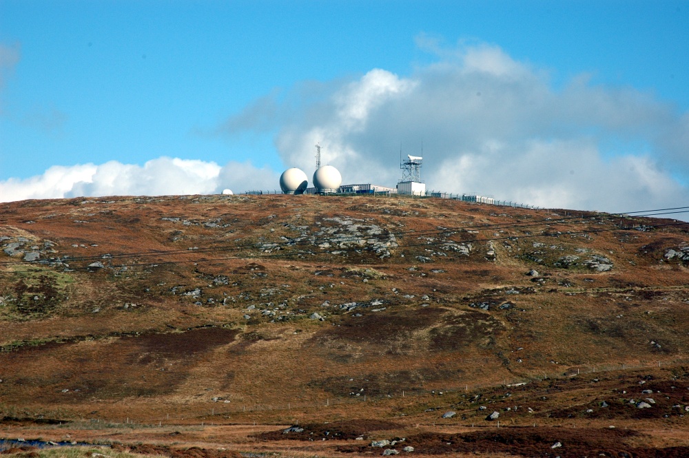
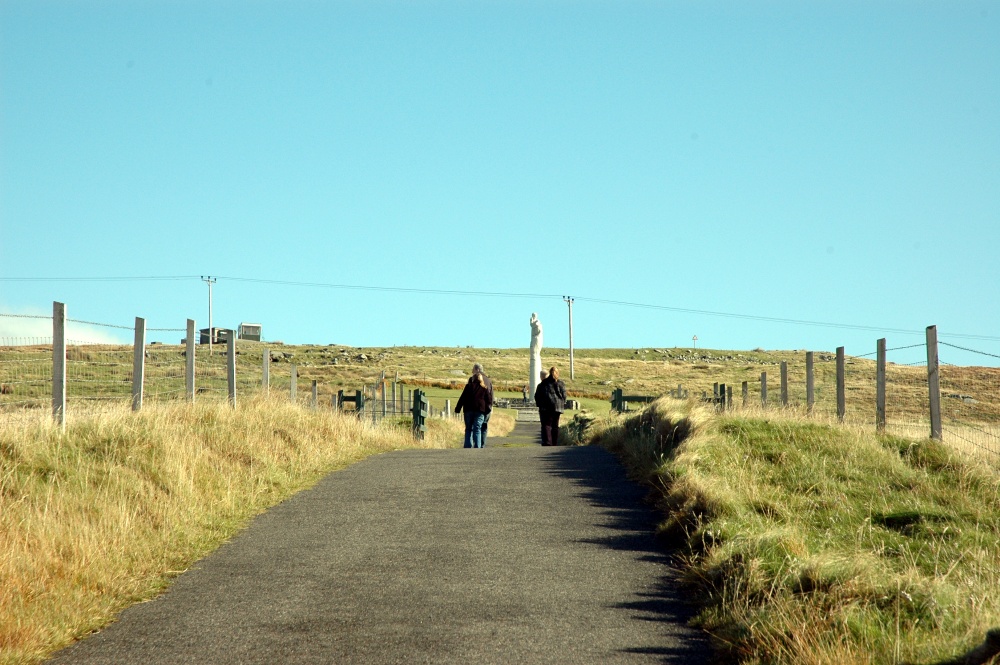
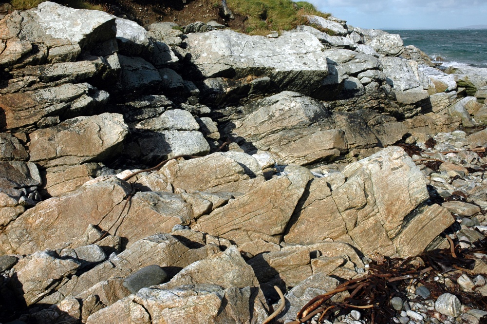
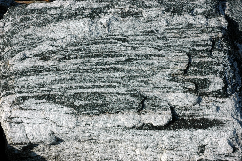
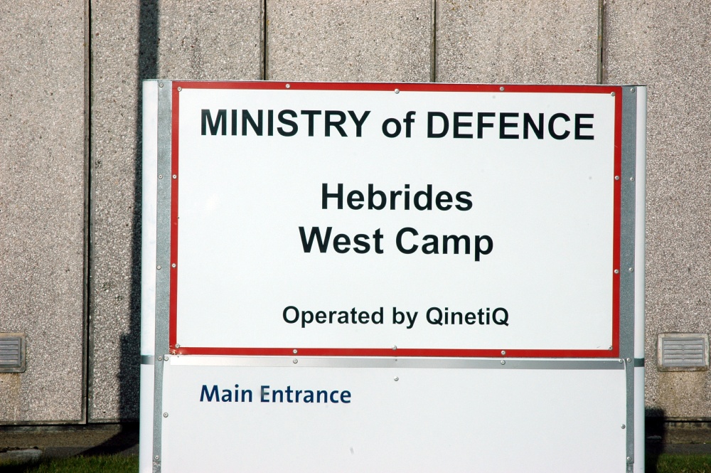
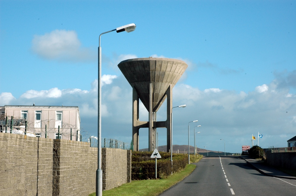
South Uist
The entrance to the nature reserve
South Uist
Dun Ragbaill
South Uist
Loch Druidibeg
South Uist
The causeway across the loch
South Uist
Ducks in the western part of the loch
South Uist
Peat cutting in the reserve
South Uist
Close-up of the peat cutting
South Uist
The rocky ground
South Uist
Enough of the rocks, peat and cold winds, where's lunch....??

Radar domes and Benbecula

Just to the north of Loch Druidibeg, and dominating the skyline are the radar domes of the missile tracking facility of the Ministry of Defence. The road west through Lochdar and out to Machrach Point passes several well-tended shrines, many of them in glass cabinets as protection from the elements. At the Point lie the oldest rocks in the British Isles - Lewisian Gneiss.
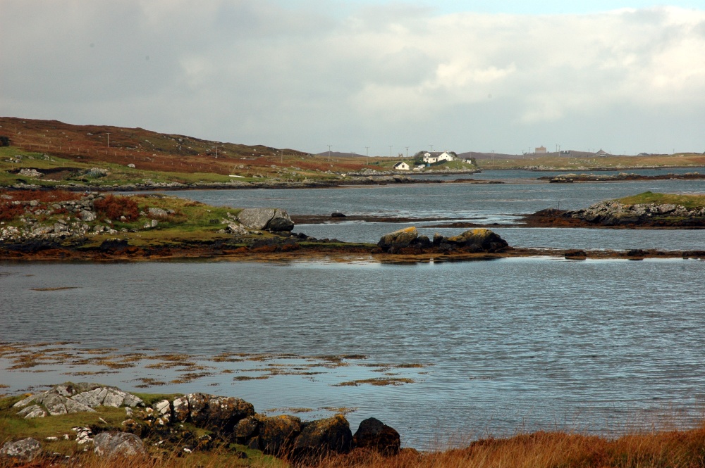
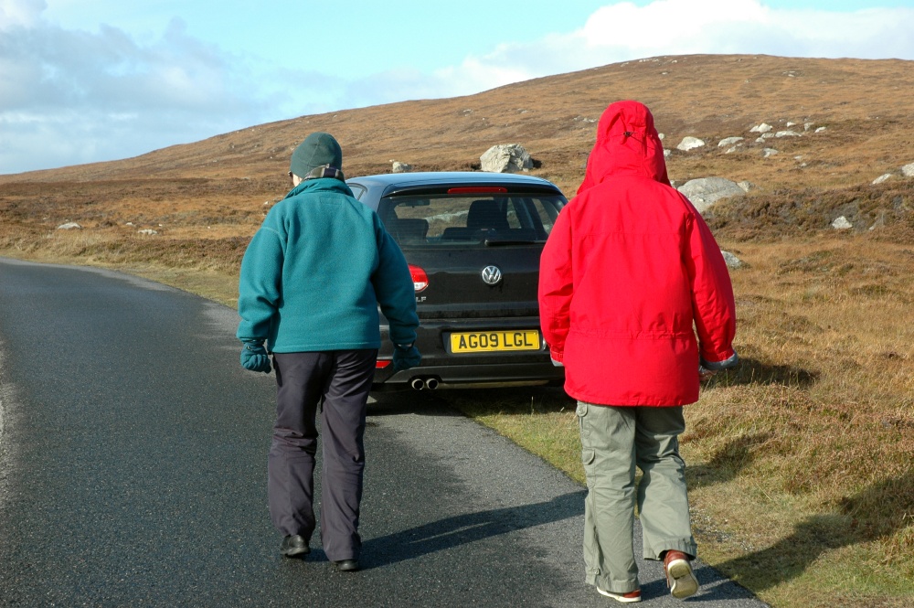
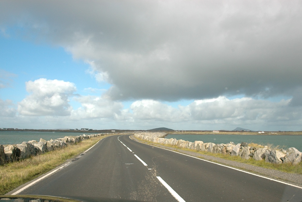
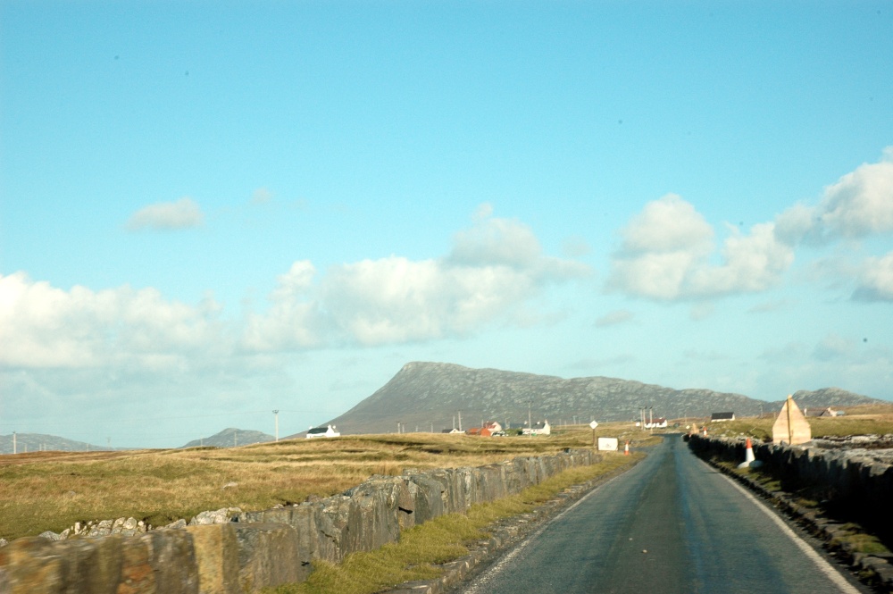
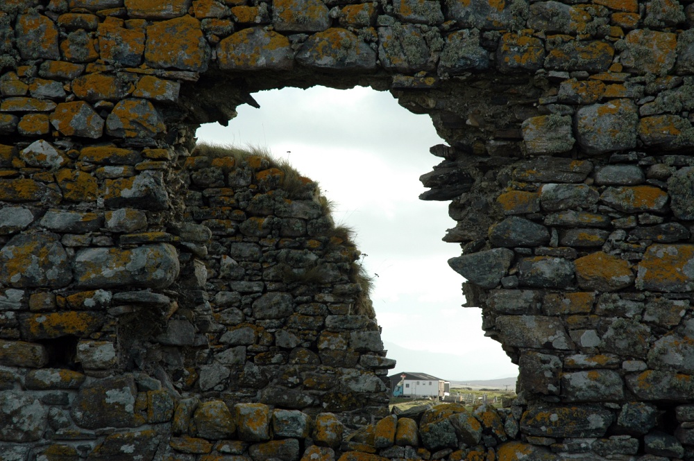
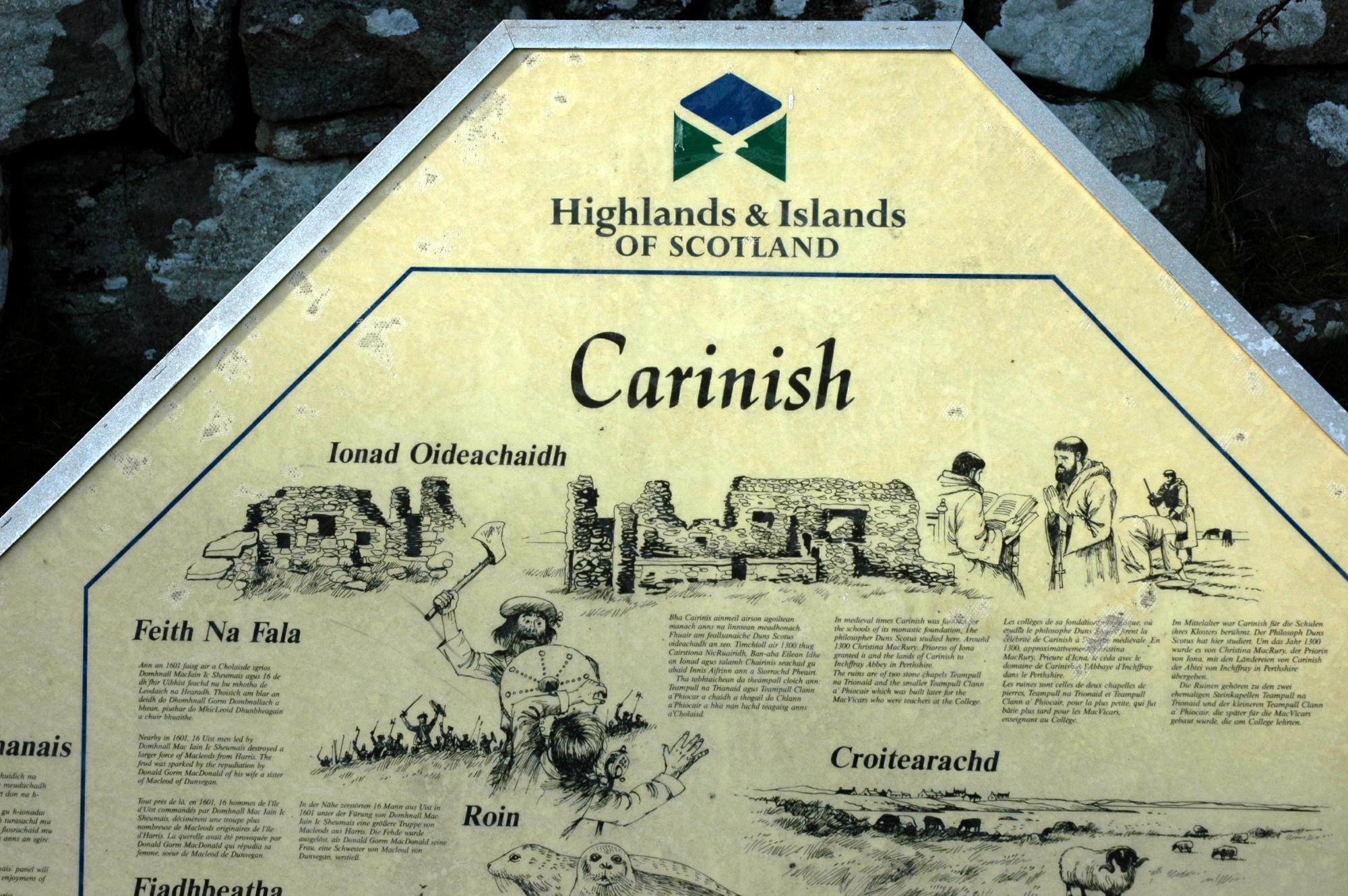
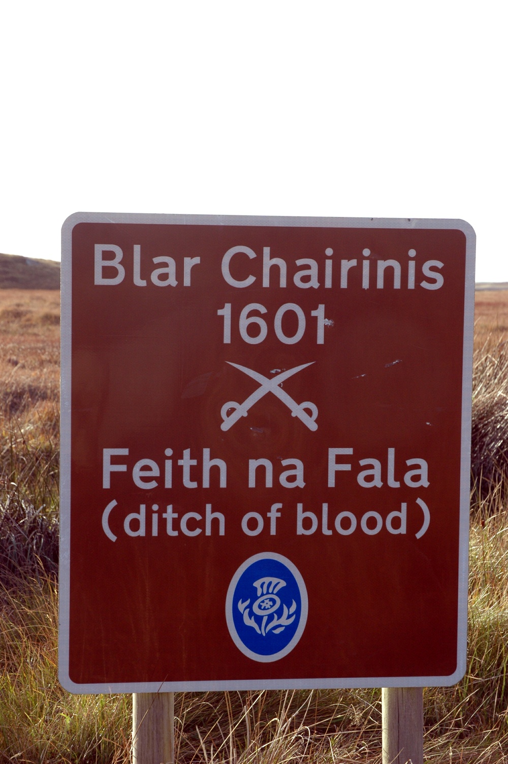
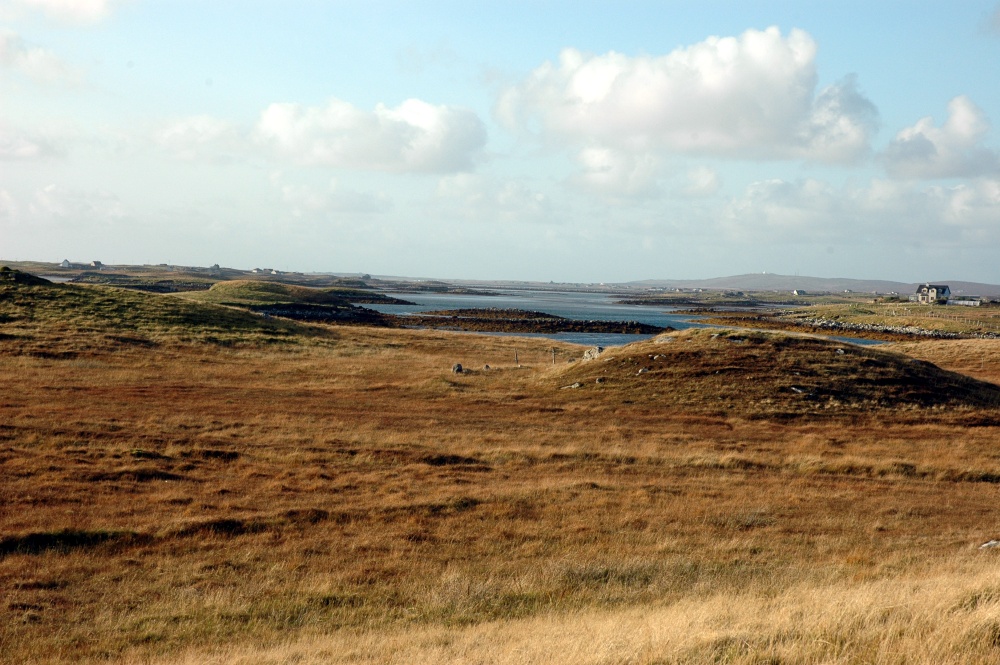
South Uist
Defence in the Outer Hebrides
South Uist
The radar installation
South Uist
Beneath the radar lies "Our Lady of the Isles".
South Uist
The path up to the lady. (Despite the fine sky, a heavy shower arrived a few minutes later and those visitors got very wet.....)
South Uist
Crofter's cottage near Lochdar
South Uist
The ultimate "do'er up" cottage
South Uist
The oldest rocks in the British isles.......
South Uist
Lewisian Gneiss
South Uist
Birds galore circling over the hay......
South Uist
ignoring the symbolic scarecrow.
South Uist
Across the causeway to Benbecula
South Uist
and Sunday lunch at the Stepping Stone
South Uist
Satisfied customers outside the Stepping Stone.
South Uist
More MOD.
South Uist
and water for Benbecula Airport.

North Uist and Carinish

Benbecula is a cluster is low-lying islands and tidal plains with a few hills up to 120m above sea level. The road meanders across a series of causeways, crossing over the small island of Grimsay before arriving on North Uist - our seventh Hebridean island so far.
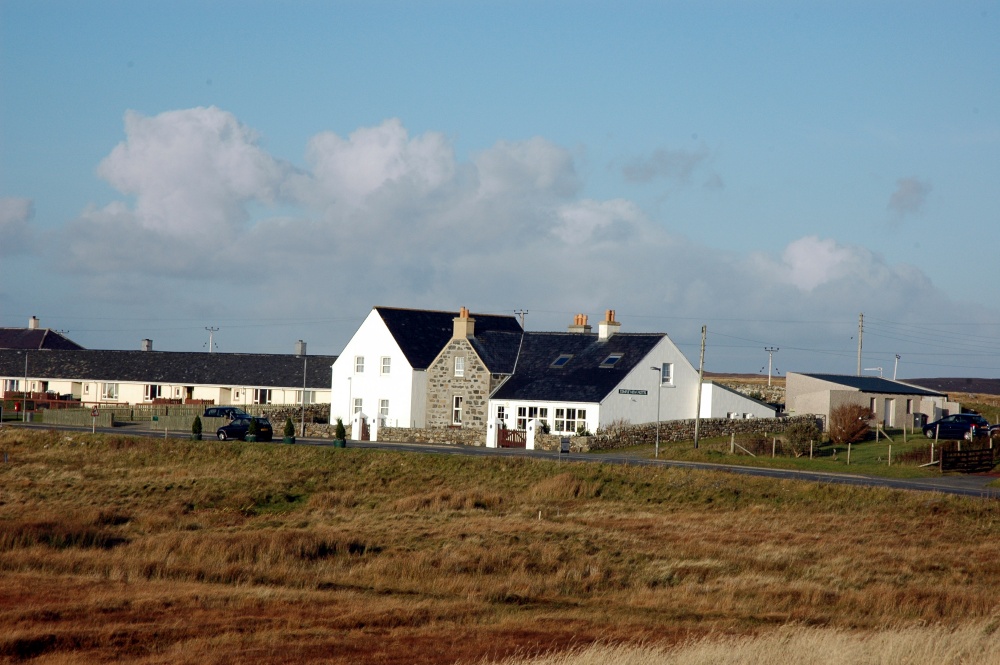
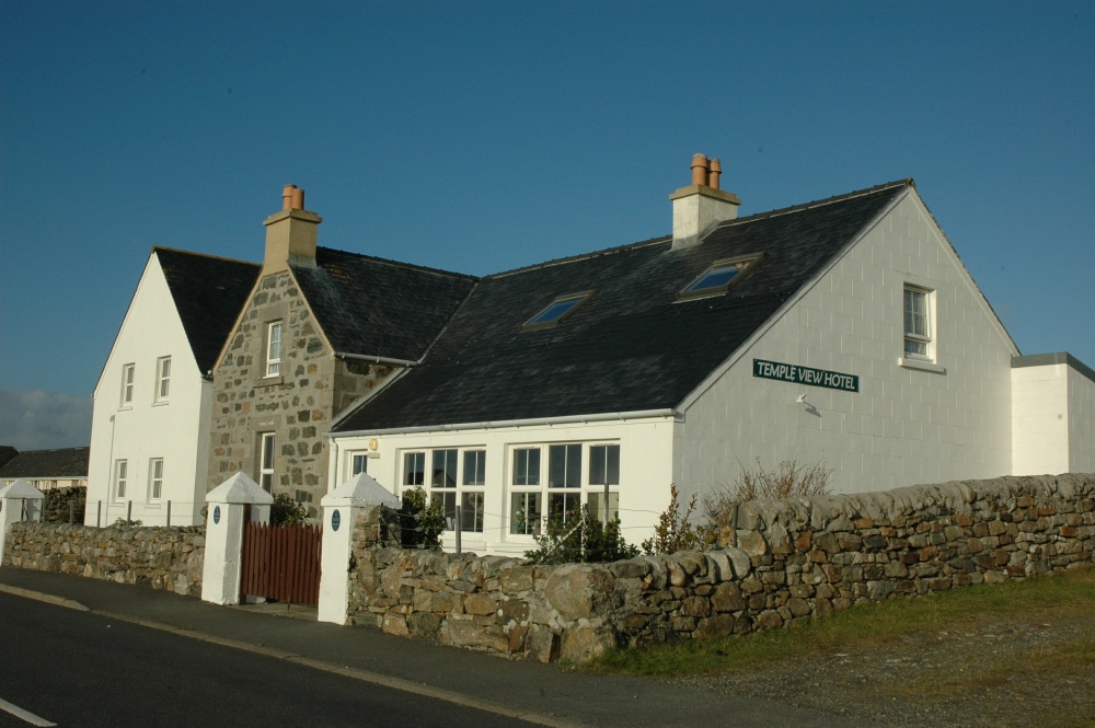
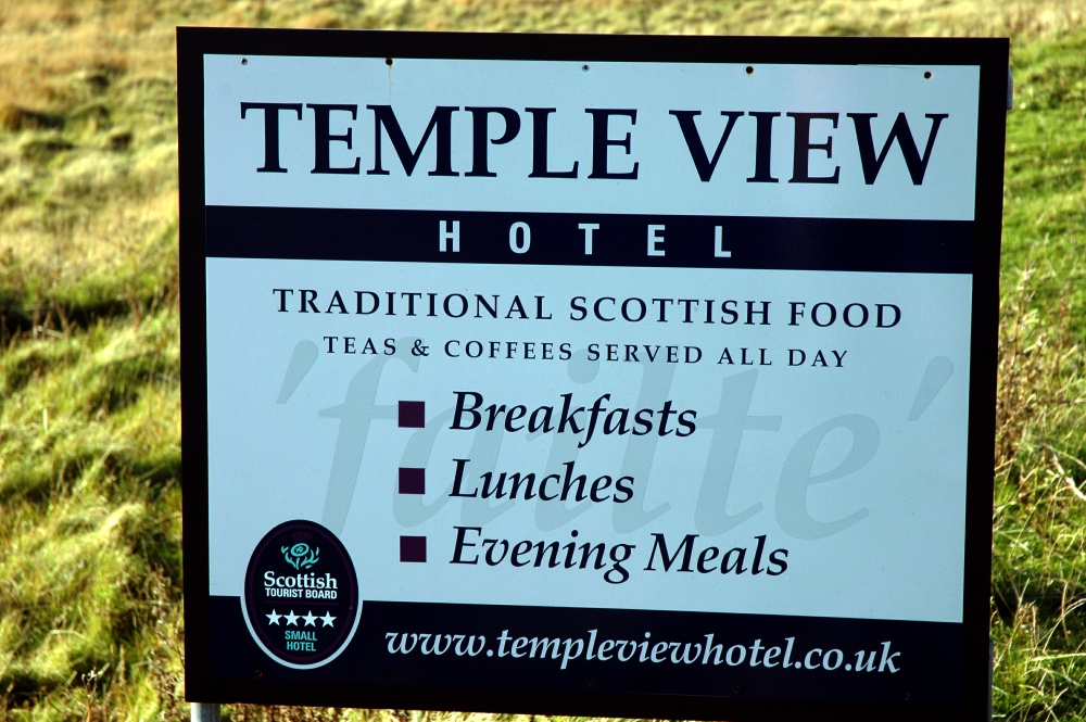
South Uist
The last causeway onto North Uist
South Uist
The track leading to Carinish
South Uist
The ruined temple at Carinish
South Uist
The story of the Temple.
South Uist
View through the ruins
South Uist
Part of the building
South Uist
Another temple now used for headstones
South Uist
The second temple on the site
South Uist
Remains of a window
South Uist
The story of Carinishs
South Uist
The sign from the main road.
South Uist
View across to the village.
South Uist
Long shadows as the sun sets
South Uist
The other event at Carinish
South Uist
The temple as the sun sets.
South Uist
The 1601 battlefield.
South Uist
View from the top of the battlefield.
South Uist
The Temple View Hotel across the field.
South Uist
The Temple View Hotel
South Uist
Sign on the main road.
South Uist
Margaret enjoying the sun and cider

Temple View

Our accommodation for the night was the Temple View Hotel at Carinish. It was well chosen, being a lovely rural hotel in ideal settings. The accommodation was comfortable and the evening meal superb, accompanied by a small but well-chosen wine list.


Back to previous dayback button--------- forward buttonForward to next day

Return to Trip Index

Last updated: 16/06/2017